 Block
Cottonville, Alabama
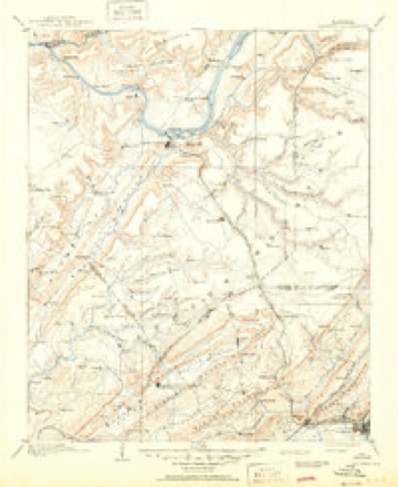
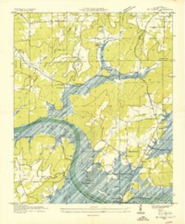
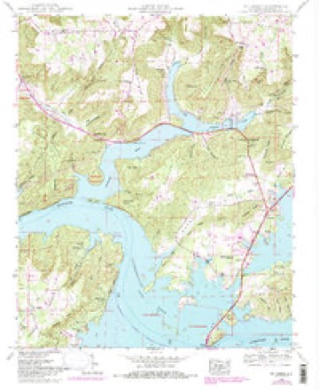
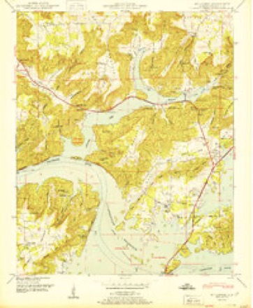
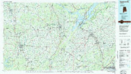
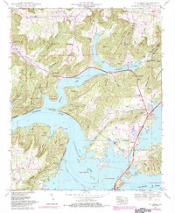
24 topographic sheets cover this place, the earliest surveyed in 1885 and the latest in 1984. It stands in the Grant census division. It lies in ZIP code area 35747. It lies near Bullocks Hollow. The Survey maps it on the Mount Carmel quadrangle.
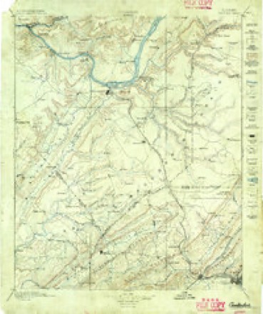
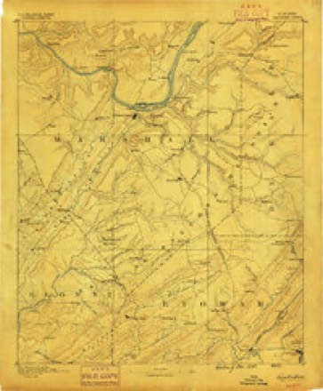
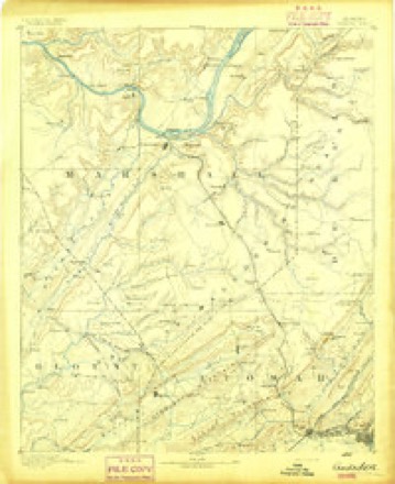
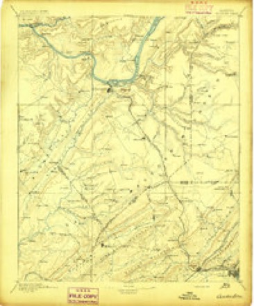
Topographic sheets covering this place
14 surveys from 24 printed sheetsMatched by testing this settlement's coordinate against the published boundary of every sheet in the United States Geological Survey's historical collection. Each opens the scanned sheet at the Survey.
- 1885 USGS Gadsden quadrangle1:125000
- 1888 USGS Gadsden quadrangle1:125000
- 1892 USGS Gadsden quadrangle1:125000
- 1895 USGS Gadsden quadrangle1:125000
- 1903 USGS Gadsden quadrangle1:125000, 4 printings
- 1936 USGS Mt Carmel quadrangle1:24000
- 1948 USGS Mt Carmel quadrangle1:24000, 3 printings
- 1950 USGS Mt Carmel quadrangle1:24000, 2 printings
- 1956 USGS Gadsden quadrangle1:250000, 3 printings
- 1958 USGS Gadsden quadrangle1:250000
- 1960 USGS Gadsden quadrangle1:250000, 2 printings
- 1963 USGS Gadsden quadrangle1:250000
- 1984 USGS Guntersville quadrangle1:100000, 2 printings
- 1984 USGS Mt Carmel quadrangle1:24000




Fires near this place
59 since 1994Regional context, not property-specific evidence. The federal wildfire occurrence database lists 59 fires within 5 miles of Cottonville between 1994 and 2017, burning about 999 acres in total. 1 started naturally. 24 were recorded as arson. Distance is straight-line from the map coordinates, so a fire counted here may appear on a neighbouring settlement's page as well.
| Reported cause | Fires |
|---|---|
| Arson/incendiarism | 24 |
| Debris and open burning | 12 |
| Missing data/not specified/undetermined | 9 |
| Recreation and ceremony | 4 |
| Equipment and vehicle use | 3 |
| Smoking | 3 |
| Natural | 1 |
| Railroad operations and maintenance | 1 |
| Other causes | 1 |
| Misuse of fire by a minor | 1 |
The most recent of them, most recent first, with the day each was reported and the service that recorded it.
| Date | Cause | Size | Reported by | Name on the report |
|---|---|---|---|---|
| 22 September 2015 | Other causes | 2.0 acres | Alabama Forestry Commission | NOR-20150922-002 |
| 15 September 2011 | Smoking | 15 acres | Alabama Forestry Commission | HWY 431 S, AL |
| 14 September 1998 | Debris and open burning | 165 acres | Alabama Forestry Commission | not named |
| 13 September 2002 | Arson/incendiarism | 60 acres | Alabama Forestry Commission | not named |
| 23 August 2007 | Arson/incendiarism | 2.0 acres | Alabama Forestry Commission | not named |
| 20 August 2008 | Debris and open burning | 30 acres | Alabama Forestry Commission | BISHOP MTN, AL |
| 17 June 2007 | Natural | 5.0 acres | Alabama Forestry Commission | not named |
| 11 June 2002 | Equipment and vehicle use | 13 acres | Alabama Forestry Commission | not named |
Settlements close enough to share some of these fires:
Mines and quarries near this place
1 within 5 milesRegional context, not property-specific evidence. The federal mineral resources record lists 1 working within 5 miles of Cottonville: 1 producer. All of them still produce. What was taken out: Stone, Crushed/Broken. Distance is straight-line from the map coordinates, so a quarry counted here may appear on a neighbouring settlement's page as well.
| Where | Site | Commodity | Status | Recorded |
|---|---|---|---|---|
| Diamond Quarry | Stone, Crushed/Broken | Producer |
Storms near this place
11 since 2009Regional context, not property-specific evidence. The National Weather Service names Cottonville in 11 storm reports between 2009 and 2025: 8 thunderstorm wind, 2 lightning, 1 hail. The reports record 1 death and 5 injuries. Each account below is quoted exactly as the forecast office filed it, from the NOAA Storm Events Database, and each date opens the federal record of that event.
| When | Event | Place named | Harm | What the report says |
|---|---|---|---|---|
| July 2010 | Lightning | Cottonville | 1 killed, 4 hurt | A fifteen year-old female was killed and four others injured by lightning at the Honeycomb campground between 430 and 435 pm. The victims were swimming or at the water's edge of Lake Guntersville when a lightning bolt struck miles away from the parent thunderstorm. |
| May 2025 | Lightning | Cottonville | 1 hurt, $2,000 | Guntersville Fire/Rescue personnel responded to an incident where a man was struck by lightning on a boat on Lake Guntersville near Honeyomb Cemetery. The victim had serious injuries and burns in several areas. |
| August 2024 | Thunderstorm Wind | Cottonville | $6,000 | At the Honeycomb campground, a tree on a camper and another camper was blown over. |
| June 2017 | Thunderstorm Wind | Cottonville | $2,000 | A tree was knocked down on a car near Cottonville Road and Natural Bridge Lane. |
| May 2009 | Thunderstorm Wind | Cottonville | $2,000 | A tree was blown down on White Elephant Road. |
| June 2016 | Thunderstorm Wind | Cottonville | $500 | A tree was knocked down across Bearden Road at Cotton Road. |
| May 2017 | Thunderstorm Wind | Cottonville | $200 | A tree was knocked down on Honeycomb Valley Road. |
| June 2018 | Thunderstorm Wind | Cottonville | $100 | A tree was knocked down onto the road at Cathedral Caverns Highway and White Elephant Road. |
| August 2024 | Thunderstorm Wind | Cottonville | - | A National Weather Service storm damage survey concluded that a downburst began over a northern branch of Lake Guntersville and surged eastward. Numerous trees were uprooted and snapped along U.S. Highway 431 starting from Cooper Hill Road to Lucas Gap Road. Numerous trees were also uprooted or snapped along Snug Harbor Road with one home under construction that had a collapse of the roof structure and most walls. The tree fall pattern fanned out with trees facing northward on the northern shore of the lake branch and eastward along the southern shore of the branch. There was also some tree damage noted on Lewis Mountain with one home under construction that had partial roof damage. Damage continued with most trees facing north-northeast along White Elephant Road to the north while fanning out eastward as the wind sloped down Lewis Mountain and crossed over U.S. Highway 431. Tree damage then became sparse with only a few snapped limbs and branches before a final damage point was identified off of State Highway 79, where an open boat house was submerged in the water due to 4x4 supports giving way to the damaging winds. |
| August 2020 | Thunderstorm Wind | Cottonville | - | Trees were knocked down near Honeycomb Road. One tree was knocked onto a house. |
| April 2009 | Hail | Cottonville | - | Hen egg size hail reported in the Holiday Shores subdivision. |
Nearest settlements
The eight closest, with where each one stands in the county. Distances are straight-line, computed from the Geographic Names Information System coordinates.
| Map | Place | Distance | Sheets |
|---|---|---|---|
| Holiday Shores | 1.1 miles | 24 | |
| Fort Deposit (historical) | 1.3 miles | 24 | |
| Shady Acres | 2.0 miles | 24 | |
| Pine Shores | 2.1 miles | 24 | |
| Honeycomb Park | 2.1 miles | 24 | |
| Cushion | 2.4 miles | 24 | |
| Upton (historical) | 2.9 miles | 22 | |
| Manchester | 3.0 miles | 24 |
Provenance
This settlement is recorded in the Geographic Names Information System as feature 156219. The sheet list is computed by point-in-boundary test against the United States Geological Survey's historical topographic inventory. Both are works of the United States government and carry no copyright under 17 U.S.C. 105.
Wildfire. Short, Karen C. 2022. Spatial wildfire occurrence data for the United States, 1992-2020 [FPA_FOD_20221014]. 6th Edition. Fort Collins, CO: Forest Service Research Data Archive. https://doi.org/10.2737/RDS-2013-0009.6 Collected with United States Government funding and usable without additional permissions or fees.
Mines and quarries. USGS Mineral Resources Data System (MRDS) https://mrdata.usgs.gov/mrds/ A work of the United States government, no copyright under 17 U.S.C. 105.
Storms. NOAA National Centers for Environmental Information, Storm Events Database https://www.ncei.noaa.gov/stormevents/ A work of the United States government, no copyright under 17 U.S.C. 105. Narratives are quoted verbatim from the National Weather Service report and are not edited or summarised.