 Block
From the record
15 National Register listings published here.
Sources: the National Register database, National Park Service
124 topographic sheets and 6 fire insurance atlases across 3 places.
15 National Register listings published here.
Sources: the National Register database, National Park Service
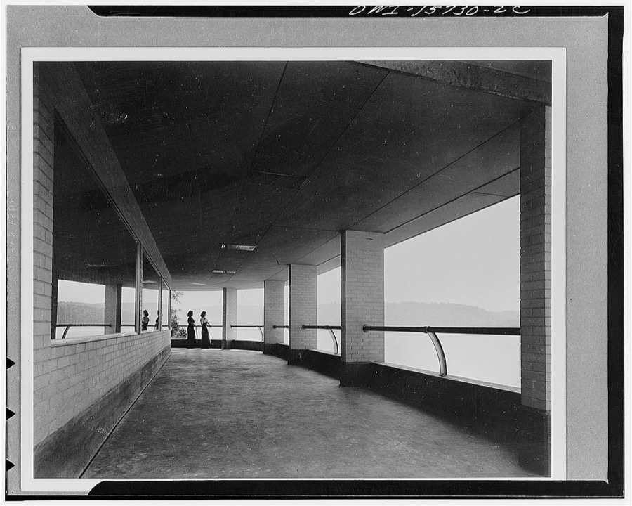
Taken for the Office of War Information and the Farm Security Administration, who photographed the country between 1935 and 1944. Works of United States government photographers, with no known restriction on use. Each opens its catalogue record.
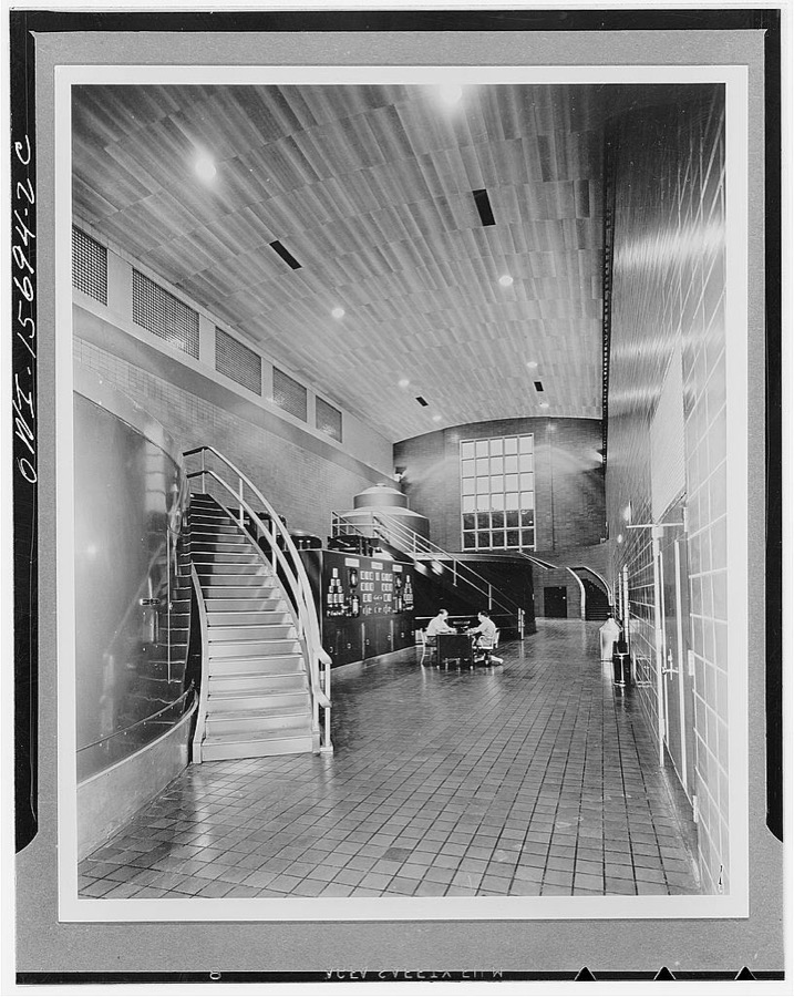
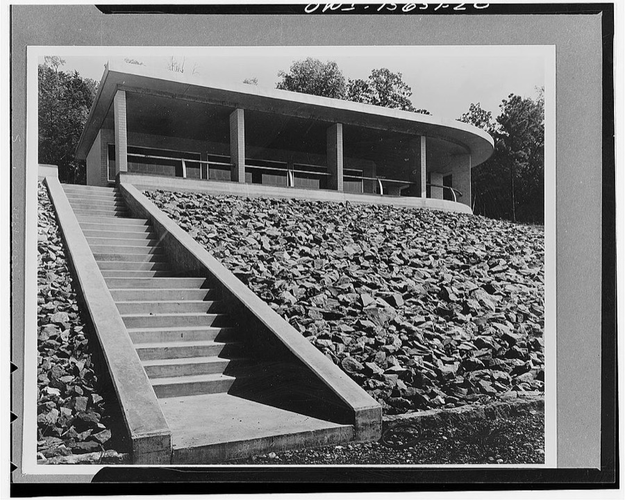
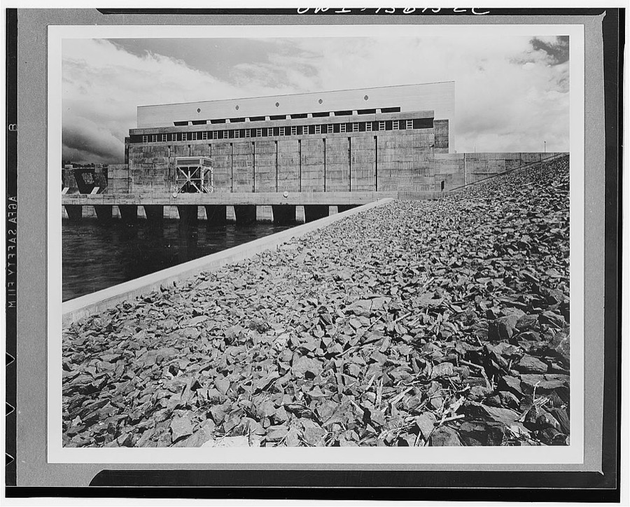
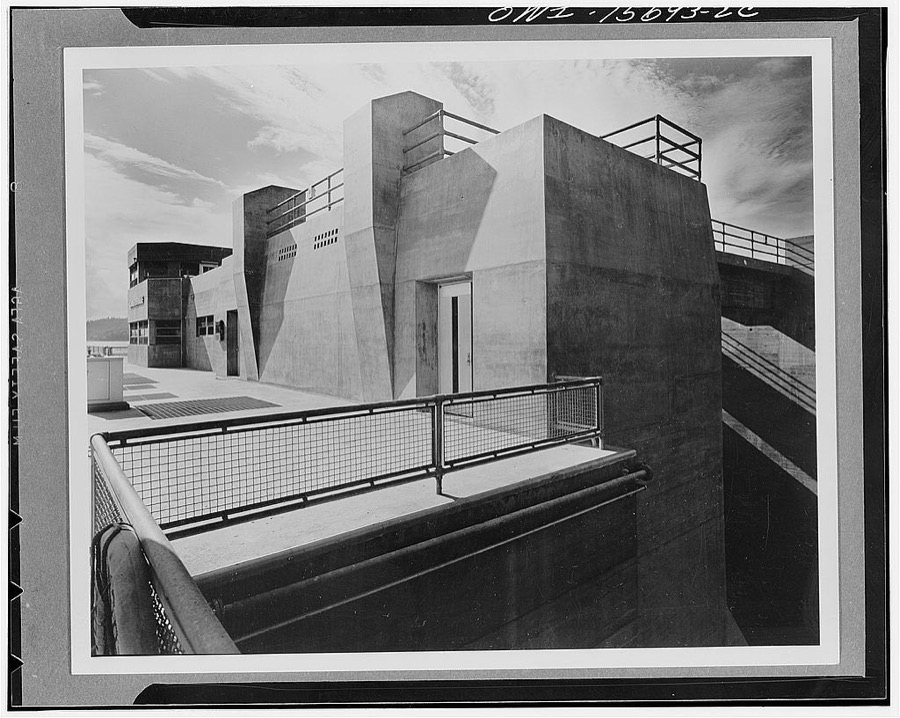
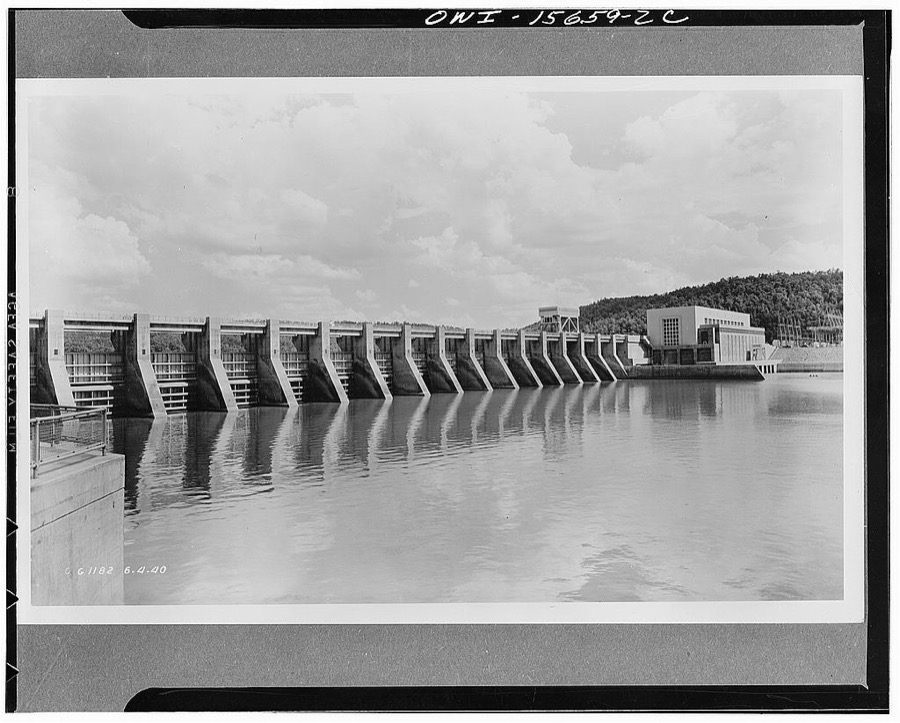
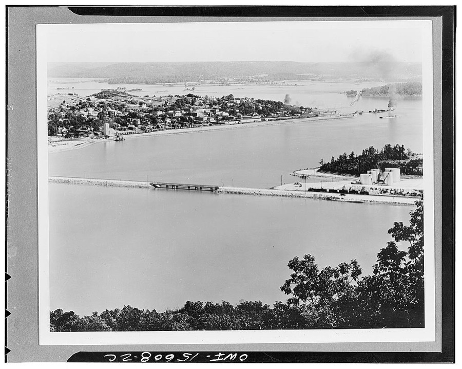
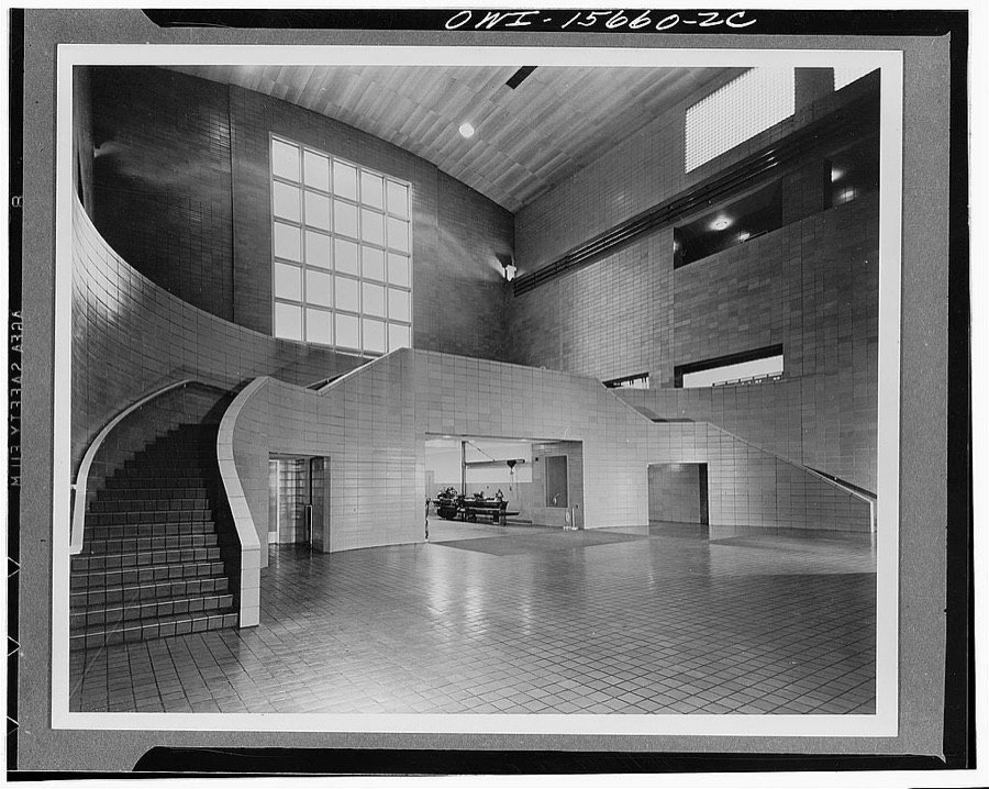
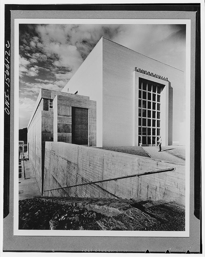
Every property in this county listed on the National Register of Historic Places, with the year it was listed and the federal nomination document.
| Photograph | Property | Type | Listed | Reference |
|---|---|---|---|---|
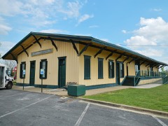 | Albertville Depot | building | 1975 | 75000320 |
 | Company E of the 167th Infantry of the Alabama National Guard Armory | building | 2005 | 05000842 |
 | Downtown Guntersville Historic District | district | 2012 | 12001022 |
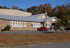 | Guntersville City School | building | 2003 | 03001135 |
| Guntersville Hydroelectric Project | district | 2016 | 16000432 | |
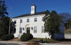 | Guntersville Post Office Building | building | 2010 | 10000558 |
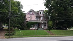 | Albert G. Henry Jr. House | building | 1989 | 89000291 |
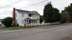 | Henry-Jordan House | building | 1979 | 79003351 |
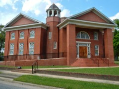 | Julia Street Memorial United Methodist Church | building | 1999 | 99000855 |
| Kate Duncan Smith Daughters of the American Revolution School | district | 2002 | 02000478 | |
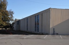 | Saratoga Victory Mill | building | 1984 | 84000659 |
 | Snead Junior College Historic District | district | 1999 | 99000468 |
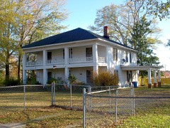 | Thomas A. Snellgrove Homestead | district | 1996 | 96000167 |
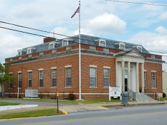 | U.S. Post Office | building | 1983 | 83002980 |
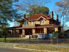 | Edward Fenns Whitman House | building | 1997 | 97001163 |
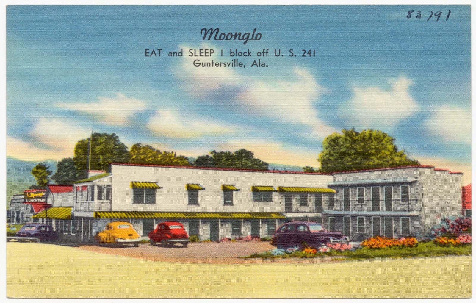
Selected from the Digital Public Library of America's 13 image records catalogued for this county. Every one shown here carries a public-domain status or a licence that permits reuse on a site that carries advertising; non-commercial, share-alike and restricted images are excluded. The selection is spread across the county's towns (at most eight per town), so no single institution's bulk upload crowds out the rest. Each opens the holding library's record, and the complete set at the Digital Public Library of America is one click away.
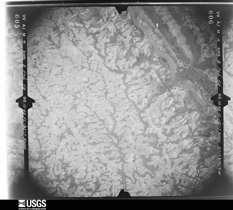
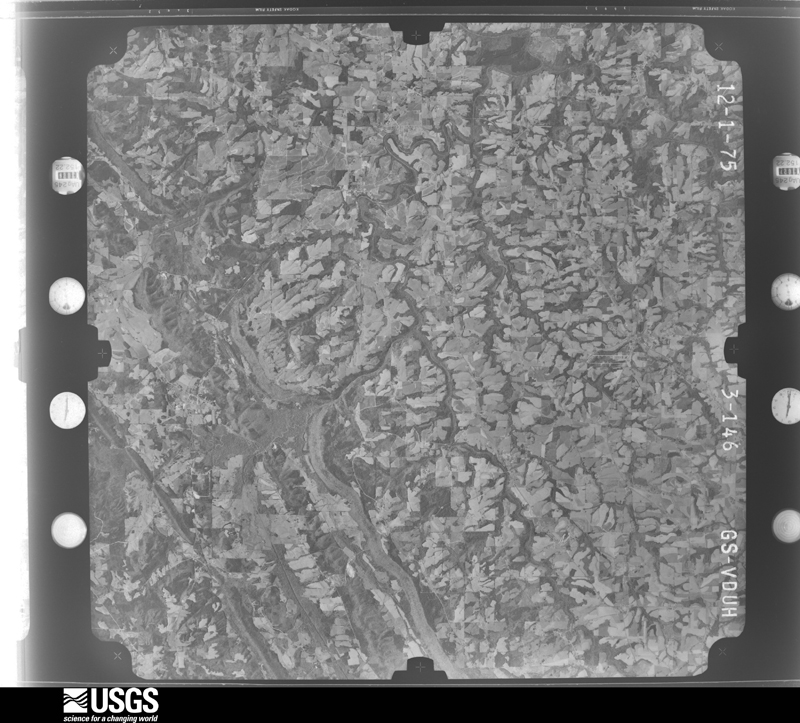
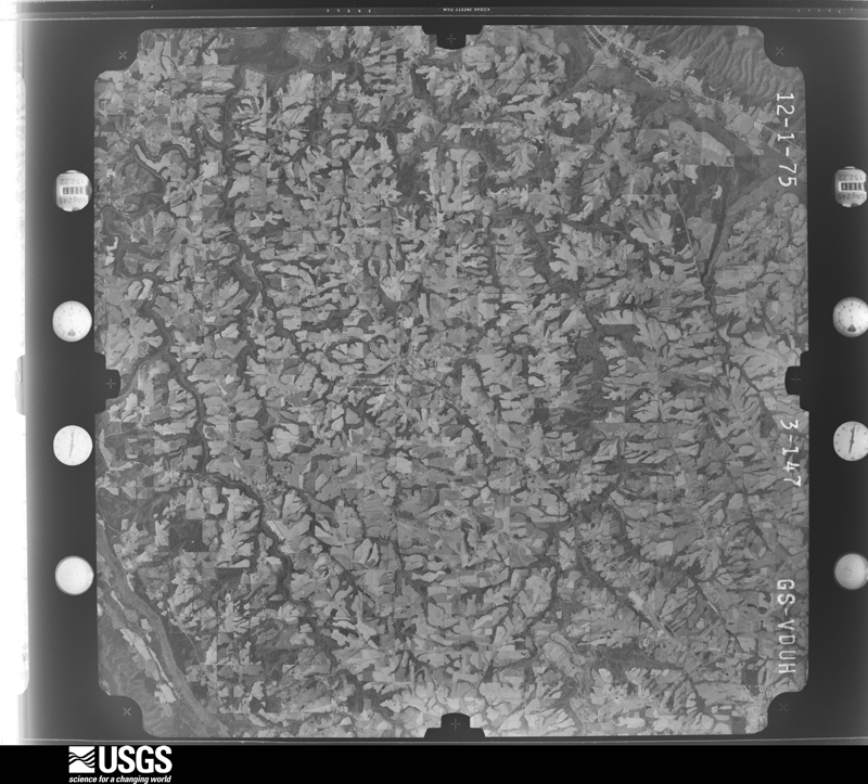
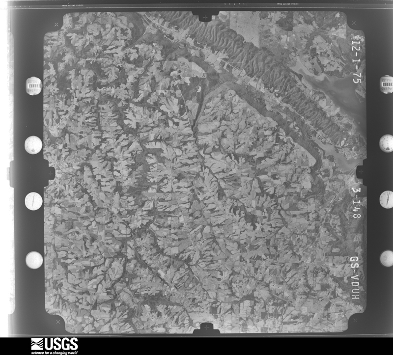
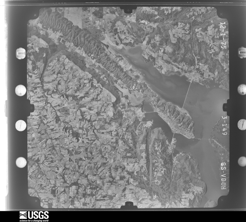
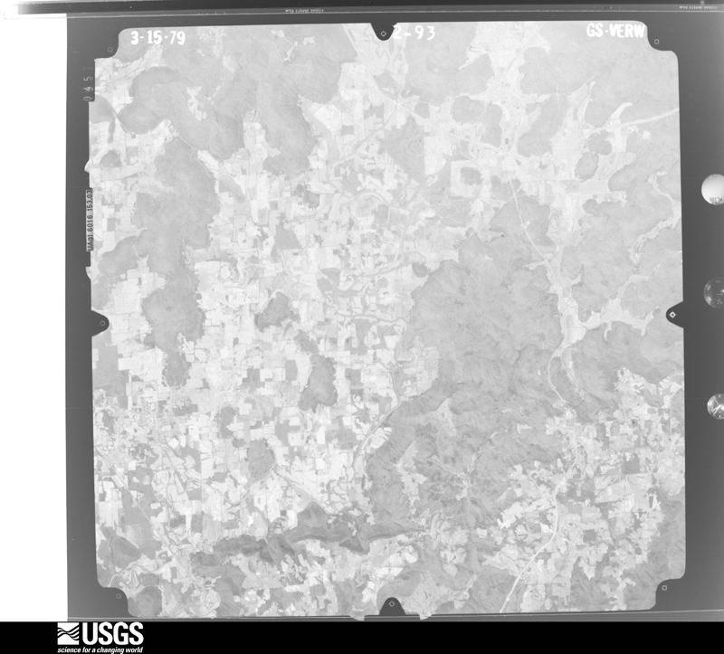
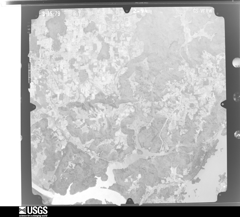
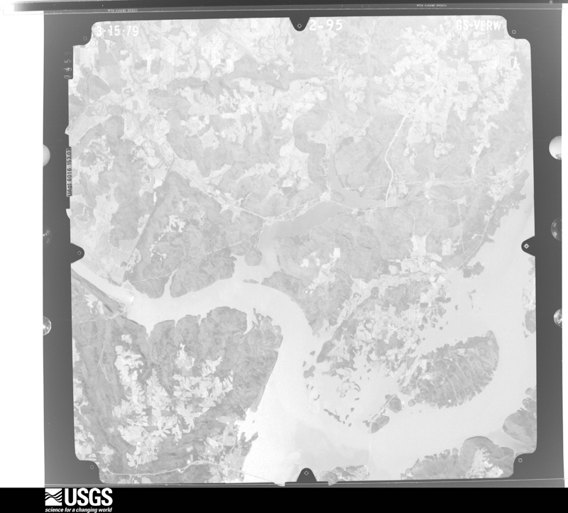
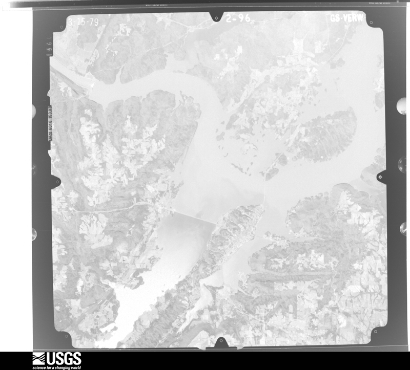
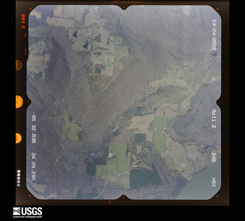
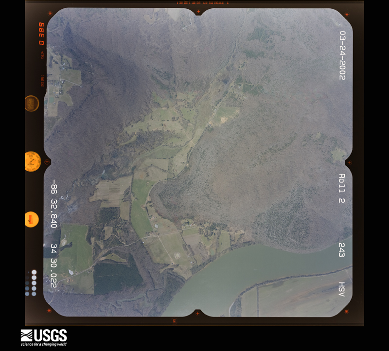
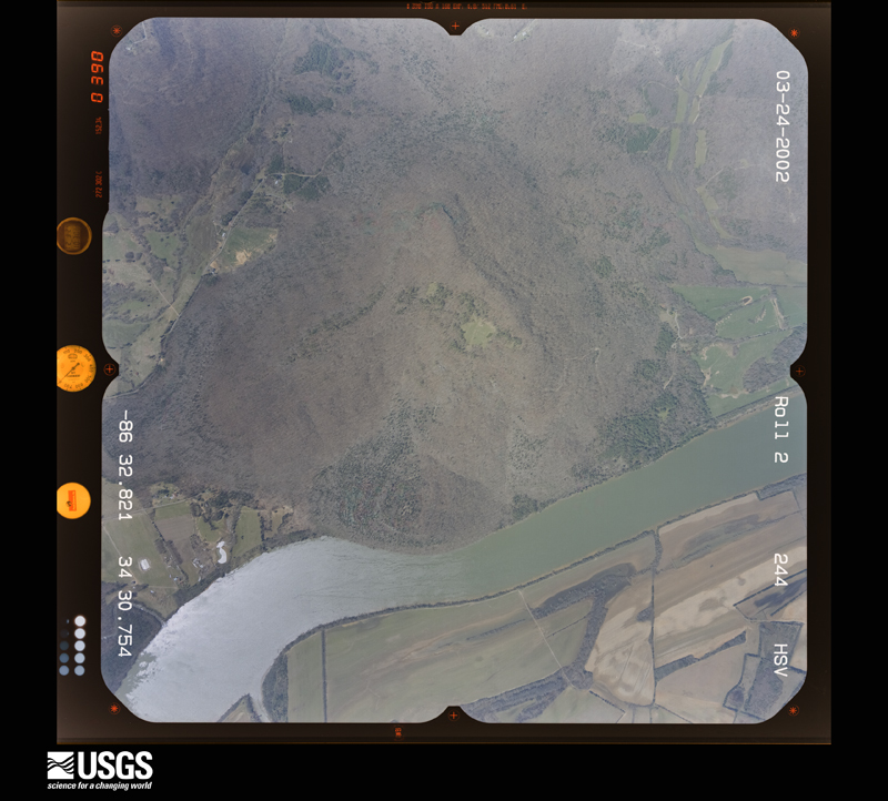
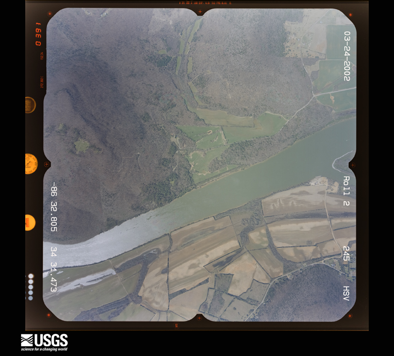
Flown by the U.S. Geological Survey between 1937 and 1989, the Aerial Photo Single Frames collection is the definitive mid-century view of the land: fields, roads and rivers as the camera saw them. The Survey holds 388 frames inside the rectangle that bounds this county; the 25 frames below were taken over the county itself, chosen across the decades of flights (at most four a year from that rectangle), so one flight cannot crowd out the rest. The full set is free to browse and download at EarthExplorer under the dataset Aerial Photo Single Frames.












The thermometers that kept this county's weather, and the gages that measured the flow of its streams, as the federal records hold them. The extremes below are measured values from those records, not estimates.
Who lived here in 1950, one enumeration district at a time, as the Census Bureau described each district. Each row opens its official National Archives result, with Population Schedules and ED Maps available there.
Every wildfire the federal occurrence database records inside this county: 468 of them, burning about 5,260 acres. 6 started naturally and 104 were recorded as arson. Each settlement page carries the fires within five miles of it.
| Reported cause | Fires |
|---|---|
| Debris and open burning | 151 |
| Missing data/not specified/undetermined | 125 |
| Arson/incendiarism | 104 |
| Recreation and ceremony | 33 |
| Equipment and vehicle use | 28 |
| Smoking | 11 |
| Natural | 6 |
| Railroad operations and maintenance | 4 |
| Other causes | 3 |
| Misuse of fire by a minor | 3 |
The five largest, by the area the report gives. Two of them were set deliberately.
| Date | Cause | Size | Reported by | Name on the report |
|---|---|---|---|---|
| 2 December 2012 | Arson/incendiarism | 220 acres | Alabama Forestry Commission | NOR-20121202-002 |
| 12 March 2007 | Arson/incendiarism | 200 acres | Alabama Forestry Commission | STATE PARK |
| 14 September 1998 | Debris and open burning | 165 acres | Alabama Forestry Commission | not named |
| 10 February 2000 | Debris and open burning | 150 acres | Alabama Forestry Commission | not named |
| 18 October 2016 | Missing data/not specified/undetermined | 150 acres | Alabama Forestry Commission | 20161018-10 |
| 14 November 2001 | Missing data/not specified/undetermined | 125 acres | Alabama Forestry Commission | not named |
| 4 November 2001 | Debris and open burning | 120 acres | Alabama Forestry Commission | not named |
| 8 March 2006 | Debris and open burning | 95 acres | Alabama Forestry Commission | not named |
Every settlement page carries the fires within five miles of it - see the settlement index below.
The NOAA Storm Events Database holds 906 reports for this county, causing 12 deaths, 180 injuries and about $46,807,350 in recorded property damage. Each settlement page carries the reports that name it.
| Kind of event | Reports |
|---|---|
| Thunderstorm Wind | 502 |
| Hail | 202 |
| Tornado | 76 |
| Flash Flood | 65 |
| Lightning | 25 |
| Flood | 21 |
| Heavy Rain | 8 |
| Funnel Cloud | 7 |
The most serious of them, by death, then injury, then recorded damage. The accounts are quoted exactly as the forecast office filed them.
| When | Event | Place named | Harm | What the report says |
|---|---|---|---|---|
| April 2011 | Tornado (EF4) | Ruth | 5 killed, 48 hurt | A violent tornado with peak wind speeds of 190 mph crossed into northwest Marshall County (from Morgan County). The most severe damage occurred on either side of U.S. Highway 231 north of Arab -- particularly in the Ruth community and along Hog Jaw Road -- about 3 miles north of Arab. Along Hog Jaw Road, a large storage shed with farm equipment was destroyed with some of the large machinery tossed 10 to 20 yards around the shed. In the Ruth community, Mount Oak and Frontier Roads were hardest hit where a cinder block/cement home was nearly wiped clean. Debris from a home on Frontier Road was thrown 50 to 100 yards away. A family of 9 was in this house and 5 were killed. A trailer was missing and a metal-bolted garage was wiped clean of its foundation. Along Frontier Road, a large brick home was nearly wiped clean off its foundation with several large trees ripped out of the ground and missing. Further northeast along the path, along Walnut Ridge, a one-story home was severely damaged with the roof missing and a trailer that was tossed into a tree. Several concrete power poles were bent over as the tornado crossed U.S. Highway 231, some bent at the base. One the east side of Highway 231, a gas station building was completely demolished and two gas pumps were ripped from the ground and missing. The canopy over the pumps remained mostly intact.||The tornado continued toward Union Grove. The degree of damage weakened somewhat but several homes had significant damage where the top stories and roofs were destroyed and the external walls had collapsed. Along County Road 240, a double-wide manufactured home was destroyed and a large garage collapsed but the well-built roof remained intact.||The tornado significantly weakened as it crossed the Tennessee River. On the other side of the river, the tornado snapped and uprooted numerous trees as it crossed Walker Road and just across U.S. Highway 431 before lifting just northeast of Highway 431. |
| August 2015 | Thunderstorm Wind | Guntersville Muni Ar | 2 killed, 2 hurt | A strong thunderstorm moved through the Short creek area of Lake Guntersville, Alabama, capsizing a canoe, resulting in two drownings. Time was estimated by news article. |
| July 2010 | Lightning | Cottonville | 1 killed, 4 hurt | A fifteen year-old female was killed and four others injured by lightning at the Honeycomb campground between 430 and 435 pm. The victims were swimming or at the water's edge of Lake Guntersville when a lightning bolt struck miles away from the parent thunderstorm. |
| April 2009 | Tornado (EF1) | Little New York | 1 killed, 1 hurt | An EF-1 tornado touched down just south of Gin Road in the Asbury community. A mobile home was completely destroyed with the content blown 40 yards and the frame blown 60 yards. Tragically, one occupant suffered fatal injuries with another suffering life threatening injuries. The tornado continued to track northeast destroying one large chicken house and damaging several others. Several barns and outbuildings sustained substantial damage. The tornado weakened as it continued to move northeast before lifting near Asbury Road. |
| June 1999 | Heavy Rain | Albertville | 1 killed, 1 hurt | Heavy rainfall earlier in the day caused many local creeks and streams to rise significantly. According to newspaper reports, a 3 year old boy drowned and an 8 year old boy sustained minor injuries while canoeing on a rain swollen creek after heavy rains had ended. The incident occurred on Drum Creek at US 431 in Albertvile. |
| October 2021 | Flash Flood | North Arab | 1 killed | Flash flood fatality occurred on Haynes Road in Arab. Vehicle swept away with child inside. 2 other occupants were able to escape. |
| October 2021 | Flash Flood | Grassy | 1 killed | Flash flood fatality occurred on Friendship Road. A woman's vehicle was swept away in the flood waters and her body was found the next morning. |
| April 2010 | Tornado (EF3) | Nixon Chapel | 35 hurt, $14,000,000 | A long track EF-3 tornado produced severe damage in the towns of Albertville and Geraldine. The city of Albertville was especially hard hit with severe damage to numerous residences, Albertville High School and several large retail buildings. Extensive tree damage was also observed throughout the damage path. The tornado crossed into DeKalb County just east of County Road 372. |
| March 1994 | Tornado (F2) | Guntersville | 30 hurt, $5,000,000 | A tornado travelled southwest to northeast across an area just south of the city of Guntersville. The tornado apparently began along Highway 79 South then cross Big Spring Creek damaging a number of residential structures along Spring Creek Drive. The tornado appeared to weaken, but was still strong enough to rip off the top part of the roof to the Marshall Nursing Home and damaging several houses near the entrance to Happy Home. It crossed U.S. Highway 431 near the high school taking out some trees on the side of the mountain and damaging a couple of homes. A total of 103 houses were damaged, 45 of them along Spring Creek Drive and eight along Highway 79 South. |
| March 1961 | Tornado (F3) | not stated | 8 hurt, $250,000 | no account filed |
| November 2001 | Tornado (F2) | Union Grove | 7 hurt, $400,000 | A supercell thunderstorm produced a tornado in the Union Grove area. The tornado began at 1:41 pm, 5.3 miles northwest of Union Grove, near Shumate Mountain. The tornado moved northeast crossing CR 240 and ending at 1:44 pm near the base of Benton Round Mountain. The heaviest damage occurred southwest of CR 240. Ten to 15 mobile homes were destroyed, 5 homes suffered varying degrees of damage, several outbuildings and barns were destroyed, an ultra-lite hangar was destroyed, 2 hunting cabins were destroyed, and 7 people received minor injuries. Beg: 34 26.213/86 31.892 End: 34 27.381/86 30.407 |
| November 1957 | Tornado (F4) | not stated | 6 hurt, $250,000 | no account filed |
| March 1986 | Tornado (F2) | not stated | 5 hurt, $2,500,000 | no account filed |
| April 1985 | Tornado (F3) | not stated | 5 hurt, $2,500,000 | no account filed |
| April 2009 | Tornado (EF3) | Grant | 5 hurt | A tornado touched down approximately 2.5 miles south southeast of Grant along Campbell Mill Road. A few houses sustained minor roof damage on the southeast side of Grant. At least two mobile homes sustained major damage from falling trees. The tornado continued east crossing Old Union Road, Columbus City Road, and Cardessa Lane before descending into the Tennessee River Valley. The tornado crossed Highway 79 at approximately 307 PM CDT at the Baker Mountain Road intersection. At this point the damage path width was just below a half of a mile wide. One woman was injured when a tree fell on her car near the Waterfront Grocery store. Several houses sustained substantial damage on the east side of Highway 79 and many trees were snapped and uprooted. The roof was blown off of one home and a brick wall collapsed. The tornado crossed a small inlet onto the south side of Preston Island, wiping out several boat docks and boat houses. Several homes sustained significant damage on the island from falling trees. At least two wood homes had complete roof collapse and partial wall collapse.||The tornado crossed Lake Guntersville into the South Sauty community. At least one person was injured in this area when he was caught outside during the tornado. At this point, the damage path width increased to at least a half a mile wide. Several well built homes were damaged by falling trees along Memonminee Road. At least 20 boat houses were destroyed in the community. Along Chilcotin Road a well constructed two story brick house lost its roof. Also falling trees damaged several camper trailers. One trailer was blown into Lake Guntersville. Thousands of trees were uprooted or snapped along the path of the tornado in Marshall county. The tornado crossed the CR 67 causeway and very shortly after moved into Jackson county. On CR 67, tornadic winds damaged the shoulder of the roadway as it crossed. |
| August 2001 | Flash Flood | Countywide | 4 hurt, $100,000 | Radar estimated four to seven inches of rainfall fell in a short period of time. Widespread road and stream flooding occurred across Marshall County. Several trees fell down due to soil being eroded away. Two men were rescued from a swollen creek when their vehicle was swept away. Another man and a small child were rescued from a vehicle as it too was swept away in high water. Both of these events occurred just northeast of Arab. All the occupants of the vehicles were saved and received only minor injuries. Several automobiles were under standing water and some people had to be rescued from these stranded vehicles. Lightning struck several power poles and knocked them down. A few homes were also struck by lightning and subsequently caught fire. One home sustained heavy damage. |
| February 1995 | Tornado (F2) | Martling | 3 hurt, $500,000 | A tornado first touched down about two miles south-southwest of Martling in eastern Marshall County moving toward the east-northeast. The tornado continued on this track primarily across the rural area crossing into DeKalb County at 0531 CST. The tornado moved through the Hopewell community in southwest DeKalb County before ending just south of the Lakeview community at Highway 75. Emergency Management reported that more than 10 homes were destroyed, about 40 homes were damaged, and 30 chicken houses were damaged or demolished. |
| May 1973 | Tornado (F2) | not stated | 3 hurt, $250,000 | no account filed |
| May 1983 | Tornado (F1) | not stated | 2 hurt, $25,000 | no account filed |
| June 1972 | Tornado (F2) | not stated | 2 hurt, $25,000 | no account filed |
| April 1958 | Tornado (F3) | not stated | 1 hurt, $250,000 | no account filed |
| January 1982 | Tornado (F2) | not stated | 1 hurt, $25,000 | no account filed |
| October 1974 | Tornado (F1) | not stated | 1 hurt, $2,500 | no account filed |
| May 2025 | Lightning | Cottonville | 1 hurt, $2,000 | Guntersville Fire/Rescue personnel responded to an incident where a man was struck by lightning on a boat on Lake Guntersville near Honeyomb Cemetery. The victim had serious injuries and burns in several areas. |
| June 2017 | Thunderstorm Wind | Douglas | 1 hurt, $200 | A tree was knocked down onto a mobile home on Plunkett Drive. |
| April 2019 | Tornado (EF1) | Hyatt | 1 hurt | A tornado began southwest of the intersection of Highpoint and McAllister Roads and north of Bearden Rd. Numerous hardwood trees were either uprooted or had large limb damage. As the tornado approached Highpoint Road, it caused minor roof damage to two single-family homes and destroyed a large shed, that was unanchored to its foundation. Damage indicators further upstream were consistent with the assessment at Highpoint Road. A mix of hardwood and softwood trees were either snapped or uprooted along portions of Nixon Chapel Road and Section Line Road. A more concentrated area of heavy tree damage, with significant mobile home roof damage and minor single home roof damage, was noted in an area between|Windsor Road and Mt. Olive Road, likely where the tornado peaked in intensity. ||The tornado continued north-northeast toward U.S. Highway 431. The tornado started to quickly weaken as it crossed the junction of Oneonta Cutoff Road, Turnpike Road and County Road 205. Sporadic tree damage was observed around this location, causing power line damage. Finally, the tornado approached Highway 431 and damaged air-conditioning units and caused minor roof damage to two large retail buildings. Very minor limb damage was noted north of 431 where the tornado dissipated. |
| August 2013 | Lightning | Albertville | 1 hurt | Scattered thunderstorms resulted in a lightning strike that caused a minor injury to person on Weaver road, in Albertville, Alabama. |
| October 2010 | Lightning | Lakeview | 1 hurt | A woman was struck by lightning. Thankfully injuries were minor enough that she declined medical treatment. Time estimated based on radar. |
| April 2009 | Hail | Swearengin | 1 hurt | The Gleam newspaper in Guntersville, Alabama reported that a woman from Michigan was hit by a hailstone big enough to cause her head to bleed from a puncture wound, while visiting the Cathedral Caverns. Hail size estimated from report. |
| May 2025 | Lightning | Saratoga | $8,000,000 | Lightning struck the Albertville Public Library building sparking a fire causing significant roof damage resulting in severe water damage to the structure and inventory of books and furniture. As a result, the building is scheduled to be demolished. |
| February 1983 | Tornado (F2) | not stated | $2,500,000 | no account filed |
| May 1973 | Tornado (F2) | not stated | $2,500,000 | no account filed |
| March 2002 | Tornado (F1) | Red Hill | $1,400,000 | A tornado first touched down at a cemetary just west of Red Hill. The F1 tornado travelled on a near due east path crossing CR 14 (Warrenton Road), a small ridge and SR 79. The tornado then climbed another ridge downing trees. Once on top of the ridge, the tornado paralleled Section Line Road (CR 166) downing trees and power lines and causing damage especially to out buildings, farm buildings, chicken houses, and other weak structures. Most substantial structures affected by the tornado had minimal damage as identified from visual inspection. The tornado ended at CR 152 (Oneonta Cut Off Road). Red Cross officials identified 3 structures with major damage and 18 with minor damage. There were no deaths or injuries reported with this tornado.Beg. 34 15.404/86 26.232 End: 34 15.291/86 16.998 |
| February 1994 | Tornado (F0) | not stated | $500,000 | A tornado moved a short distance through Boaz, destroying a barn and a garage. Also, the roof was blown off a storage building. The winds drove several two-by-four posts into the side of a building. Damage was estimated at approximately $100 thousand. |
| June 1994 | Thunderstorm Wind | Guntersville | $500,000 | Thunderstorm wind caused extensive damage to trees which fell on and destroyed four campers at the Ossa-Win-Tha Resort on Lake Guntersville located northeast of Guntersville along Highway 79. The thunderstorm was moving from the east and the damage was confined to an small area immediately adjacent to the lake. |
| January 2009 | Flood | Allen Xrds | $450,000 | Heavy rainfall caused area creeks and streams to flood, impacting numerous roads across Marshall county. Roads blocked by flood waters included but were not limited to: Tibbit Circle near Albertville, Sundown Road in Arab, Smith Circle near Arab, Oak Road north of Horton, Horton Road near Albertville, U.S. 231 near Mount Olive Church, Pleasant Valley Road in Union Grove, the Ruth community, and Winkles Road in the Grant area. |
| September 1996 | Tornado (F2) | Grant | $300,000 | no account filed |
| May 2003 | Flash Flood | Countywide | $250,000 | five homes and businesses sustained flood damage in county with widespread flooding occurring county wide. |
| July 1976 | Tornado (F1) | not stated | $250,000 | no account filed |
| April 1968 | Tornado (F2) | not stated | $250,000 | no account filed |
| August 2014 | Thunderstorm Wind | Boaz | $150,000 | A thunderstorm produced microburst type damage first in Albertville, Alabama, with numerous trees downed by thunderstorm winds along Highway 205. Three homes sustained minor to moderate damage due to trees falling and trees were reported through two additional homes. Also along Highway 205, several power lines, two power poles and four traffic lights were downed due to the thunderstorm winds. The Foodland grocery store in Albertville, Alabama sustained wind damage, with one third of its roof, sheeting and inside ceiling tiles, moderately damaged by thunderstorm winds. In Albertville, Alabama, numerous trees were downed by thunderstorm winds along Corbinville, Country Club and Cochran roads. A tree was also downed due to thunderstorm outflow winds at Boaz, Alabama. |
| April 1996 | Thunderstorm Wind | Arab | $130,000 | no account filed |
| November 2002 | Thunderstorm Wind | Arab | $125,000 | Two chicken houses were heavily damaged on Fry Gap Road (CR 44). |
| May 2025 | Lightning | Albertville | $100,000 | Lightning struck a home on Honeysuckle Lane in the Albertville area. Severe damage to the roof and interior of the home resulted from the lightning strike. The home was damaged enough for the residents of that home to be temporarily displaced. |
| January 2012 | Flash Flood | Hebron | $100,000 | Flash flooding closed the intersection of Fishtrap and Butler Mill Roads. Other roads between Grant and Woodville were closed. |
| July 2012 | Thunderstorm Wind | Guntersville | $100,000 | Several strong thunderstorms merged and intensified around the southern portion of Guntersville lake. A microburst occurred, with the most significant damage occurring at the Claysville snack bar located along Highway 431, just south of the Highway 431/Highway 79 interchange. The small cinder block building with a relatively flat wood roof that was covered by sheet metal, was heavily damaged. The wind ripped the entire roof structure off and collapsed three of the four exterior walls. The debris was thrown downwind approximately 100 yards. The microburst had estimated maximum winds of 90 mph and appeared to initially be concentrated directly over the snack bar, with further damage moving away from this point. There was evidence of a 50 yard section of a chain link fence being bent foward and nearly uprooted by the damaging wind. The estimated length of this particular microburst was 0.6 miles. |A couple of blocks downstream and to the north and between Braswell road and a nearby marina, several medium sized trees were snapped midway down the tree, with smaller branches thrown around. There were also a few sproadic trees downed just northeast of the microburst location. |
| September 2006 | Tornado (F1) | Albertville | $90,000 | The tornado initially touched down in the southwest side of Albertville between Whitesville Road and South Broad Street. At this stage, the tornado was 40 yards wide producing F0 intensity winds up to 60 mph for along a one quarter mile path. Then the tornado increased to F1 intensity with winds up to 100 mph along a path width of 500 yards. Several trees were snapped and uprooted in its path. Several homes sustained minor roof, awning, and gutter damage. The tornado continued its path north-northeast into western Albertville before dissipating. |
| August 2011 | Thunderstorm Wind | Hebron | $75,000 | Numerous trees and power lines across a large part of the county were downed by thunderstorm winds. A wind gust of 52 mph was recorded at a weather station at the Emergency Management Agency office on Creek Path Road. Camper trailers and a few boats were damaged at Lakeside Campground at Claysville. |
| March 2008 | Lightning | Hebron | $75,000 | Lightning struck a home sparking a fire destroying the residence. Exact time and location unknown. |
| April 1996 | Thunderstorm Wind | Arab | $75,000 | no account filed |
| August 2002 | Thunderstorm Wind | Boaz | $70,000 | Numerous trees and power lines were blown down all around Boaz. Several trees fell on homes causing damage. A forty foot high billboard was totally destroyed at a restaurant. No injuries were reported. |
| July 2000 | Thunderstorm Wind | Countywide | $70,000 | Numerous trees and power lines were blown down across the county. One resident in Guntersville reported that 32 chicken pens were picked up and tossed down the road. One church in Arab sustained major damage when two of its walls collapsed. Several trees were blown down onto homes and automobiles causing major damage. Large waves caused by the wind capsized a boat on Browns Creek. The men in the boat were rescued uninjured. Several boat houses had their roofs removed on Lake Guntersville. |
| April 1998 | Hail | Arab | $55,000 | no account filed |
| March 2010 | Hail | Martling | $50,000 | Golfball hail was reported at the Guntersville State park. |
| December 2009 | Thunderstorm Wind | Ruth | $50,000 | Numerous trees and power lines were blown down across the county. |
| June 2009 | Thunderstorm Wind | Arab | $50,000 | Thunderstorm winds uprooted trees, snapped power lines and power poles in several areas of southern Marshall County, including the communities of Boaz and Sardis City, including along U.S. Highway 431 and Alabama Highway 205. Other trees were knocked down on Church and Gamble Streets in Sardis City. In Boaz, trees were knocked down on Collier, Bassett and Davis Streets, and Summerville Road and Alabama Highway 205. In Albertville, a tree was knocked down into a home on Oak Street causing significant damage. Times were estimated by radar. |
| April 1998 | Hail | Arab | $50,000 | Baseball size hail was reported in Arab. |
| June 1994 | Thunderstorm Wind | Grant | $50,000 | Wind downed a number of trees in Grant located about 13 miles north of Guntersville. Scattered trees and tree limbs were downed throughout the county, too. Grant Police Department reported three-quarter inch hail. |
| January 1998 | Flash Flood | Countywide | $50,000 | no account filed |
| June 1998 | Thunderstorm Wind | Countywide | $45,000 | Numerous trees and power lines were down across the county. In Union Grove, a barn was destroyed. There were reports of trees down from Guntersville to the Etowah county line. |
The Survey's mineral resources record lists 9 workings inside this county. 5 still produce and 4 are closed or unrecorded. Each settlement page carries the workings within five miles of it.
| Commodity | Workings |
|---|---|
| Clay | 3 |
| Stone, Crushed/Broken | 2 |
| Silica | 1 |
| Iron | 1 |
| Manganese | 1 |
| Sand and Gravel, Construction | 1 |
The least common of them first, because a county's hundredth gravel pit says nothing its first ten did not.
| Where | Site | Commodity | Status | Recorded |
|---|---|---|---|---|
| Glover Manganese Prospect | Manganese | Prospect | 1942 | |
| Kennmer Pit | Sand and Gravel, Construction | Past Producer | ||
| Marshall County-Browns Valley | Iron | Unknown | ||
| Unnamed Quarry | Silica | Producer | ||
| Diamond Quarry | Stone, Crushed/Broken | Producer | ||
| Langford Mine and Mill | Stone, Crushed/Broken | Producer | ||
| General Shale Pits | Clay | Producer | ||
| Mal 1b Clay Prospect | Clay | Prospect | ||
| Shale Pit No 2 | Clay | Producer |
Named settlements recorded in the Geographic Names Information System, each with the topographic sheets covering it. Villages, hamlets and abandoned places alike. Each is shown with the nearest named watercourse or landform and the survey quadrangle it falls on. The 3 places that were also surveyed for fire insurance come first, with the number of atlases and photographs held for them.
Albertville-Boaz census division · 35950 · Albertville quadrangle
24 sheets, 1885 to 1984
Fire insurance: 2 atlases
Albertville-Boaz census division · 35957 · Boaz quadrangle
23 sheets, 1885 to 1984
Fire insurance: 2 atlases
Guntersville census division · 35976 · On Big Spring Creek · Guntersville quadrangle
22 sheets, 1885 to 1984
Fire insurance: 2 atlases
Guntersville census division · 35951 · Near Derrick Hollow · Albertville quadrangle
24 sheets, 1885 to 1984
Union Grove census division · 35175 · Near Pritchett Mountain · Newsome Sinks quadrangle
20 sheets, 1888 to 1984
Douglas census division · 35957 · On Lemon Branch · Douglas quadrangle
22 sheets, 1885 to 1984
No longer a settlement
Guntersville census division · 35976 · Brooksville quadrangle
23 sheets, 1885 to 1984
No longer a settlement
Grant census division · 35747 · Near Sugar Tree Hollow · Guntersville Dam quadrangle
22 sheets, 1885 to 1984
Douglas census division · 35980 · On Big Branch · Brooksville quadrangle
23 sheets, 1885 to 1984
No longer a settlement
Grant census division · 35769 · On Baker Spring Branch · Swearengin quadrangle
21 sheets, 1888 to 1984
Grant census division · 35976 · Near Martin Hill · Mount Carmel quadrangle
24 sheets, 1885 to 1984
Grant census division · 35747 · Near Fort Hollow · Grant quadrangle
23 sheets, 1888 to 1984
Grant census division · 35747 · On Old Union Branch · Columbus City quadrangle
23 sheets, 1885 to 1984
Union Grove census division · 35175 · On Toten Creek · Newsome Sinks quadrangle
20 sheets, 1888 to 1984
Grant census division · 35976 · Near Martin Hill · Mount Carmel quadrangle
24 sheets, 1885 to 1984
Grant census division · 35976 · On Chandler Branch · Columbus City quadrangle
23 sheets, 1885 to 1984
Albertville-Boaz census division · 35951 · On Turkey Creek · Albertville quadrangle
24 sheets, 1885 to 1984
Grant census division · 35747 · Near Bullocks Hollow · Mount Carmel quadrangle
24 sheets, 1885 to 1984
Guntersville census division · 35976 · Near Lindsey Hollow · Guntersville quadrangle
22 sheets, 1885 to 1984
Guntersville census division · 35976 · Near Big Spring Valley · Guntersville quadrangle
22 sheets, 1885 to 1984
Grant census division · 35747 · Near Ledbetter Hollow · Mount Carmel quadrangle
24 sheets, 1885 to 1984
Albertville-Boaz census division · 35957 · On Horseshoe Creek · Rodentown quadrangle
22 sheets, 1885 to 1984
Albertville-Boaz census division · 35957 · On Horseshoe Creek · Rodentown quadrangle
22 sheets, 1885 to 1984
Grant census division · 35747 · On Fearn Branch · Guntersville Dam quadrangle
22 sheets, 1885 to 1984
No longer a settlement
Town Creek census division · 35755 · On Minky Creek · Columbus City quadrangle
23 sheets, 1885 to 1984
Grant census division · 35747 · Near Caney Hollow · Mount Carmel quadrangle
24 sheets, 1885 to 1984
No longer a settlement
Douglas census division · 35957 · On Carroll Branch · Douglas quadrangle
22 sheets, 1885 to 1984
No longer a settlement
Grant census division · 35769 · Near Bryant Mill Hollow · Columbus City quadrangle
23 sheets, 1885 to 1984
Grant census division · 35747 · Near Fletcher Hollow · Grant quadrangle
23 sheets, 1888 to 1984
Guntersville census division · 35976 · Near Rocky Branch Hollow · Guntersville quadrangle
22 sheets, 1885 to 1984
No longer a settlement
Guntersville census division · 35976 · Near Negro Mountain · Guntersville quadrangle
22 sheets, 1885 to 1984
Grant census division · 35747 · Near Willis Hollow · Mount Carmel quadrangle
24 sheets, 1885 to 1984
Grant census division · 35747 · On Little Paint Rock Creek · Guntersville Dam quadrangle
22 sheets, 1885 to 1984
Grant census division · 35976 · Near Roden Ridge · Mount Carmel quadrangle
24 sheets, 1885 to 1984
Guntersville census division · 35976 · Near Walley Hollow · Guntersville quadrangle
22 sheets, 1885 to 1984
Albertville-Boaz census division · 35950 · On Little Branch · Douglas quadrangle
22 sheets, 1885 to 1984
Grant census division · 35747 · Near Lewis Mountain · Mount Carmel quadrangle
24 sheets, 1885 to 1984
Grant census division · 35747 · On Jagger Branch · Mount Carmel quadrangle
24 sheets, 1885 to 1984
Douglas census division · 35980 · On Little Branch · Douglas quadrangle
22 sheets, 1885 to 1984
Grant census division · 35747 · By Whittaker Narrows · Grant quadrangle
23 sheets, 1888 to 1984
Albertville-Boaz census division · 35951 · On Turkey Creek · Albertville quadrangle
24 sheets, 1885 to 1984
Douglas census division · 35980 · On Collins Creek · Douglas quadrangle
22 sheets, 1885 to 1984
Town Creek census division · 35951 · Grove Oak quadrangle
22 sheets, 1885 to 1984
No longer a settlement
Grant census division · 35976 · Near Baker Hill · Mount Carmel quadrangle
24 sheets, 1885 to 1984
No longer a settlement
Grant census division · 35747 · By Big Rock · Grant quadrangle
23 sheets, 1888 to 1984
No longer a settlement
Town Creek census division · 35755 · On Yellow Creek · Swearengin quadrangle
21 sheets, 1888 to 1984
Guntersville census division · 35976 · Near Big Spring Valley · Guntersville quadrangle
22 sheets, 1885 to 1984
Grant census division · 35747 · Near Merrill Mountain · Guntersville Dam quadrangle
22 sheets, 1885 to 1984
No longer a settlement
Guntersville census division · 35951 · Near Jughandle Hollow · Albertville quadrangle
24 sheets, 1885 to 1984
Albertville-Boaz census division · 35950 · Guntersville quadrangle
22 sheets, 1885 to 1984
Guntersville census division · 35976 · Near Rocky Branch Hollow · Guntersville quadrangle
22 sheets, 1885 to 1984
Town Creek census division · 35976 · On Hurricane Branch · Columbus City quadrangle
23 sheets, 1885 to 1984
Albertville-Boaz census division · 35951 · On Mayo Branch · Albertville quadrangle
24 sheets, 1885 to 1984
No longer a settlement
Union Grove census division · 35976 · Near Kirk Hollow · Mount Carmel quadrangle
24 sheets, 1885 to 1984
Albertville-Boaz census division · 35957 · On Cove Creek · Boaz quadrangle
23 sheets, 1885 to 1984
Town Creek census division · 35951 · On Martling Branch · Albertville quadrangle
24 sheets, 1885 to 1984
Arab census division · 35016 · Hulaco quadrangle
20 sheets, 1888 to 1984
No longer a settlement
Albertville-Boaz census division · 35951 · On Mayo Branch · Albertville quadrangle
24 sheets, 1885 to 1984
Guntersville census division · 35976 · On Rocky Branch · Guntersville quadrangle
22 sheets, 1885 to 1984
Arab census division · 35016 · On Cranford Branch · Hulaco quadrangle
20 sheets, 1888 to 1984
Town Creek census division · 35976 · On Minky Creek · Columbus City quadrangle
23 sheets, 1885 to 1984
Town Creek census division · 35755 · Near Center Point · Columbus City quadrangle
23 sheets, 1885 to 1984
No longer a settlement
Guntersville census division · 35976 · Near Davidson Hollow · Guntersville quadrangle
22 sheets, 1885 to 1984
Guntersville census division · 35951 · On Berry Branch · Albertville quadrangle
24 sheets, 1885 to 1984
No longer a settlement
Guntersville census division · 35976 · Near Walley Hollow · Guntersville quadrangle
22 sheets, 1885 to 1984
Union Grove census division · 35976 · By Thrasher Bluff · Mount Carmel quadrangle
24 sheets, 1885 to 1984
Douglas census division · 35957 · On Carroll Branch · Douglas quadrangle
22 sheets, 1885 to 1984
Union Grove census division · 35175 · Near Gullion Mountain · Newsome Sinks quadrangle
20 sheets, 1888 to 1984
Guntersville census division · 35950 · Near Rocky Branch Hollow · Guntersville quadrangle
22 sheets, 1885 to 1984
Albertville-Boaz census division · 35957 · On Lemon Branch · Boaz quadrangle
23 sheets, 1885 to 1984
Arab census division · 35976 · On Wolf Creek · Guntersville Dam quadrangle
22 sheets, 1885 to 1984
Douglas census division · 35980 · On Whitfield Branch · Brooksville quadrangle
23 sheets, 1885 to 1984
Grant census division · 35976 · Near Jim Cryar Hill · Mount Carmel quadrangle
24 sheets, 1885 to 1984
No longer a settlement
Arab census division · 35016 · On Cranford Branch · Hulaco quadrangle
20 sheets, 1888 to 1984
Grant census division · 35769 · Near Gunters Mountain · Swearengin quadrangle
21 sheets, 1888 to 1984
Union Grove census division · 35016 · Near Pritchett Mountain · Newsome Sinks quadrangle
20 sheets, 1888 to 1984
Town Creek census division · 35975 · Near Tucker Cove · Grove Oak quadrangle
22 sheets, 1885 to 1984
No longer a settlement
Town Creek census division · 35951 · On Little Shoal Creek · Painter quadrangle
22 sheets, 1885 to 1984
No longer a settlement
Arab census division · 35976 · Near Ben Johnson Ridge · Arab quadrangle
24 sheets, 1885 to 1984
Arab census division · 35016 · On Gilliam Creek · Hulaco quadrangle
20 sheets, 1888 to 1984
Grant census division · 35747 · Near John R Hollow · Mount Carmel quadrangle
24 sheets, 1885 to 1984
Grant census division · 35976 · Near Roden Ridge · Mount Carmel quadrangle
24 sheets, 1885 to 1984
Grant census division · 35976 · Near Roden Ridge · Mount Carmel quadrangle
24 sheets, 1885 to 1984
Guntersville census division · 35950 · Guntersville quadrangle
22 sheets, 1885 to 1984
Town Creek census division · 35951 · Near Williams Point · Columbus City quadrangle
23 sheets, 1885 to 1984
Grant census division · 35769 · Near Rice Cove · Swearengin quadrangle
21 sheets, 1888 to 1984
Guntersville census division · 35950 · On Little Drum Creek · Guntersville quadrangle
22 sheets, 1885 to 1984
Guntersville census division · 35976 · Near Polecat Hollow · Guntersville quadrangle
22 sheets, 1885 to 1984
Albertville-Boaz census division · 35957 · On Yellow Branch · Boaz quadrangle
23 sheets, 1885 to 1984
No longer a settlement
Guntersville census division · 35976 · On Red Hill Branch · Arab quadrangle
24 sheets, 1885 to 1984
Douglas census division · 35980 · Douglas quadrangle
22 sheets, 1885 to 1984
No longer a settlement
Grant census division · 35776 · On Sheepneck Branch · Grant quadrangle
23 sheets, 1888 to 1984
Grant census division · 35747 · Near Noahs Ark · Mount Carmel quadrangle
24 sheets, 1885 to 1984
Arab census division · 35976 · Near Ben Johnson Ridge · Arab quadrangle
24 sheets, 1885 to 1984
Guntersville census division · 35976 · On Browns Creek · Guntersville quadrangle
22 sheets, 1885 to 1984
Union Grove census division · 35175 · Near Cherry Hollow · Newsome Sinks quadrangle
20 sheets, 1888 to 1984
No longer a settlement
Guntersville census division · 35976 · Near Chandler Ridge · Guntersville quadrangle
22 sheets, 1885 to 1984
Guntersville census division · 35950 · Guntersville quadrangle
22 sheets, 1885 to 1984
No longer a settlement
Guntersville census division · 35976 · Near Big Spring Valley · Guntersville quadrangle
22 sheets, 1885 to 1984
Grant census division · 35747 · Near Gunters Mountain · Swearengin quadrangle
21 sheets, 1888 to 1984
Grant census division · 35769 · Near Pine Island (historical) · Columbus City quadrangle
23 sheets, 1885 to 1984
Union Grove census division · 35175 · Near Pea Ridge · Guntersville Dam quadrangle
22 sheets, 1885 to 1984
Grant census division · 35747 · Near Sugar Tree Hollow · Guntersville Dam quadrangle
22 sheets, 1885 to 1984
No longer a settlement
Albertville-Boaz census division · 35957 · On Carl Creek · Boaz quadrangle
23 sheets, 1885 to 1984
Grant census division · 35747 · Near Woodall Hollow · Grant quadrangle
23 sheets, 1888 to 1984
Guntersville census division · 35976 · On Polecat Branch · Guntersville quadrangle
22 sheets, 1885 to 1984
The vanished settlements of Marshall County: the places named above that are no longer on the map.
24 topographic sheets and 2 fire insurance atlases, 1927 to 1944
23 topographic sheets and 2 fire insurance atlases, 1929 to 1944
22 topographic sheets and 2 fire insurance atlases, 1930 to 1948