 Block
Dawes, Alabama
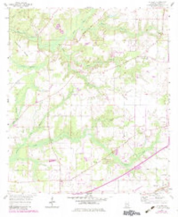
23 topographic sheets cover this place, the earliest surveyed in 1941 and the latest in 1994. It stands in the Grand Bay census division. It lies in ZIP code area 36695. The Survey maps it on the Saint Elmo quadrangle.
On record in Dawes
Buildings and businesses the archive holds for this place. Each opens its own page, with the source record it came from.
Surveyed buildings and structures 1 record
- Vogtner Farm (House & Smokehouse), Jeff Hamilton Road vicinity, Dawesfederal building survey, 6 photographs
Topographic sheets covering this place
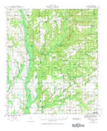
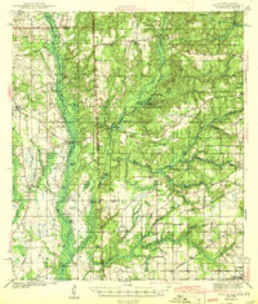
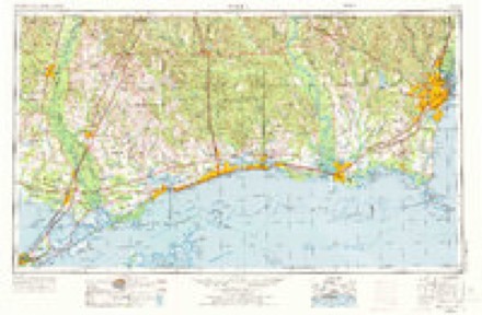
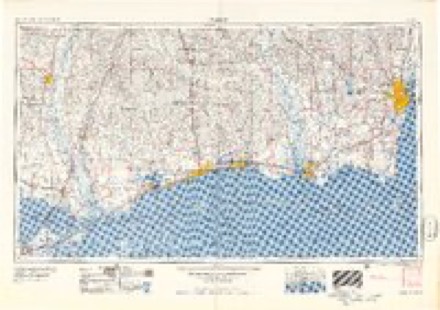
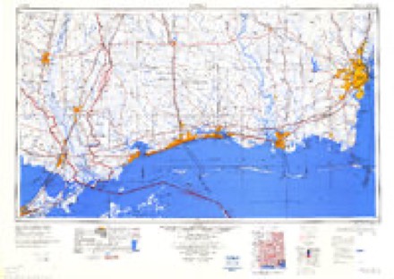
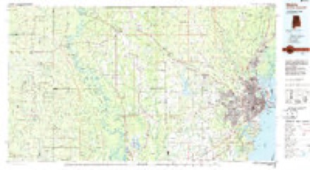
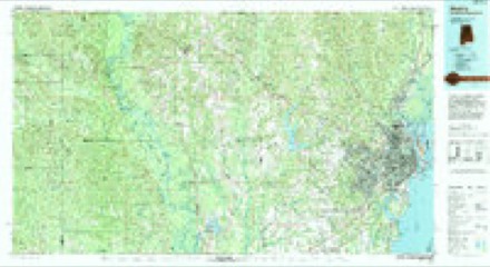
11 surveys from 23 printed sheetsMatched by testing this settlement's coordinate against the published boundary of every sheet in the United States Geological Survey's historical collection. Each opens the scanned sheet at the Survey.
- 1941 USGS Hurley quadrangle1:62500, 3 printings
- 1943 USGS Hurley quadrangle1:62500, 2 printings
- 1953 USGS Mobile quadrangle1:250000, 3 printings
- 1957 USGS Mobile quadrangle1:250000, 3 printings
- 1957 USGS St. Elmo quadrangle1:24000, 4 printings
- 1960 USGS Mobile quadrangle1:250000
- 1963 USGS Mobile quadrangle1:250000
- 1965 USGS Mobile quadrangle1:250000
- 1984 USGS Mobile quadrangle1:250000, 3 printings
- 1984 USGS Mobile quadrangle1:100000
- 1994 USGS Mobile quadrangle1:100000
Fires near this place
394 since 1994Regional context, not property-specific evidence. The federal wildfire occurrence database lists 394 fires within 5 miles of Dawes between 1994 and 2020, burning about 4,259 acres in total. None started naturally. 200 were recorded as arson. Distance is straight-line from the map coordinates, so a fire counted here may appear on a neighbouring settlement's page as well.
| Reported cause | Fires |
|---|---|
| Arson/incendiarism | 200 |
| Debris and open burning | 99 |
| Missing data/not specified/undetermined | 53 |
| Equipment and vehicle use | 16 |
| Recreation and ceremony | 16 |
| Misuse of fire by a minor | 8 |
| Railroad operations and maintenance | 2 |
The most recent of them, most recent first, with the day each was reported and the service that recorded it.
| Date | Cause | Size | Reported by | Name on the report |
|---|---|---|---|---|
| 8 September 1995 | Debris and open burning | 5.0 acres | Alabama Forestry Commission | not named |
| 6 September 1997 | Debris and open burning | under an acre | Alabama Forestry Commission | not named |
| 5 September 2019 | Missing data/not specified/undetermined | 10 acres | Alabama Forestry Commission | 20190905-1 |
| 5 September 2006 | Equipment and vehicle use | under an acre | Alabama Forestry Commission | not named |
| 30 September 2000 | Arson/incendiarism | 60 acres | Alabama Forestry Commission | not named |
| 29 September 2000 | Arson/incendiarism | 20 acres | Alabama Forestry Commission | not named |
| 26 September 1998 | Arson/incendiarism | 5.0 acres | Alabama Forestry Commission | not named |
| 22 September 1997 | Arson/incendiarism | 2.5 acres | Alabama Forestry Commission | not named |
Settlements close enough to share some of these fires:
Mines and quarries near this place
9 within 5 milesRegional context, not property-specific evidence. The federal mineral resources record lists 9 workings within 5 miles of Dawes: 6 producers, 3 past producers. 6 still produce. What was taken out: Sand and Gravel, Construction, Sand and Gravel, Construction, Clay, Clay. Distance is straight-line from the map coordinates, so a quarry counted here may appear on a neighbouring settlement's page as well.
| Where | Site | Commodity | Status | Recorded |
|---|---|---|---|---|
| Harrison Pit | Clay | Past Producer | ||
| Joe Yates Pit | Sand and Gravel, Construction, Clay | Producer | Unconsolidated Sediments | |
| John Maples Pit | Sand and Gravel, Construction, Clay | Past Producer | ||
| Maples Pit | Sand and Gravel, Construction, Clay | Producer | Unconsolidated Sediments | |
| Brunson Constrction Co. Pit | Sand and Gravel, Construction | Producer | ||
| Laidlaw No. 2 Pit | Sand and Gravel, Construction | Past Producer | ||
| Unnamed Quarry | Sand and Gravel, Construction | Producer | Quartz | |
| Unnamed Quarry | Sand and Gravel, Construction | Producer | Quartz | |
| Yates Construction Co. Pit | Sand and Gravel, Construction | Producer |
Storms near this place
17 since 2002Regional context, not property-specific evidence. The National Weather Service names Dawes in 17 storm reports between 2002 and 2025: 6 flash flood, 5 thunderstorm wind, 2 hail, 2 heavy rain. No death or injury is recorded in these reports. Each account below is quoted exactly as the forecast office filed it, from the NOAA Storm Events Database, and each date opens the federal record of that event.
| When | Event | Place named | Harm | What the report says |
|---|---|---|---|---|
| March 2002 | Thunderstorm Wind | Dawes | $25,000 | Trees and power lines were blown down near Dawes. Some roof damage occurred to a church and minor damage occurred to some buildings around the church. Dime size hail also occurred. |
| March 2009 | Thunderstorm Wind | Dawes | $20,000 | Winds estimated at 60 mph flipped a horse trailer and damaged the roof of a feed store. |
| November 2018 | Thunderstorm Wind | Dawes | $10,000 | A survey found sporadic damage consistent with 60 to 70 mph straight line winds south of Three Notch Road between Airport Road and McDonald Road. A few homes in the Dawes Oak subdivision had shingle damage with numerous fences damaged. A large garage door was also blown in. Minor tree damage was also noted in the area. |
| April 2014 | Hail | Dawes | $10,000 | Quarter size hail was observed by an off duty NWS employee. The hail resulted in some damage to vehicles. |
| June 2017 | Thunderstorm Wind | Dawes | $5,000 | A severe thunderstorm downed trees across Dawes Lane near Three Notch Road. |
| April 2025 | Flash Flood | Dawes | - | Water over the road on Dawes Road near Dawes Lake road. |
| May 2024 | Thunderstorm Wind | Dawes | - | Off duty NWS Employee reports downed power lines and a few snapped trees on Schillinger Rd south of Cottage Hill Road. |
| January 2024 | Tornado (EF0) | Dawes | - | A brief EF-0 tornado began along Cottage Hill Road just east of Dawes Road. The tornado quickly intensified knocking down fences and ripping branches off. Parts of the fence were blow across Cottage Hill rd. to the north. The tornado peaked as it moved towards Leroy Stevens rd. resulting in a low brick wall being destroyed. Uplift to the corner of the roof of a small retail building and most impressively rolling either a small trailer or small RV. The tornado then crossed Leroy Stevens Rd. before dissipating. The tornado may have continued further, but no convergent path was able to be found after this point. |
| June 2023 | Heavy Rain | Dawes | - | A total of 2.72 inches of rain was recorded over a 6 hour period at Mesonet Station CW1353. |
| August 2022 | Flash Flood | Dawes | - | Social media report of water over the roadway on Schillinger Road just south of Cottage Hill. |
| October 2019 | Tornado (EF1) | Dawes | - | The tornado first touched down just east of Arlington Oaks Drive. The tornado intensified as it moved north northwest and reached its peak intensity between Scott Dairy Loop Road and Johnson Road. Significant tree and roof damage was noted in the Spring Brook Farms subdivision, consistent with EF-1 damage. The tornado weakened as it moved north of Johnson Road and lifted near Hamilton Creek. |
| August 2017 | Flash Flood | Dawes | - | Heavy rain caused water over the roadway near Sollie Road near Halls Mill Creek. |
| June 2012 | Flash Flood | Dawes | - | Several lower lying spots along Dawes Road experiencing water moving over the road and from property to property. The Johnson/Dawes Road intersection has water flowing over the road with many culverts to capacity. |
| August 2012 | Heavy Rain | Dawes | - | Storm total rainfall of 14.53 inches of rain received for Isaac through 4 pm Aug 30th. |
| January 2010 | Flash Flood | Dawes | - | Off duty National Weather Service employee reports water flowing across Cottage Hill Road at Dawes Road approximately 3 miles south of Mobile Regional Airport. |
| January 2010 | Flash Flood | Dawes | - | Mobile 911 reported Sollie Road in West Mobile was closed due to water covering the roadway. |
| March 2005 | Hail | Dawes | - | no account filed |
Nearest settlements
The eight closest, with where each one stands in the county. Distances are straight-line, computed from the Geographic Names Information System coordinates.
| Map | Place | Distance | Sheets |
|---|---|---|---|
| Cottage Park Estates | 1.5 miles | 24 | |
| Meadow Lake | 1.7 miles | 33 | |
| Dawes Point | 2.0 miles | 24 | |
| Country Squire Estates | 2.4 miles | 32 | |
| Windcrest | 2.4 miles | 33 | |
| Robinwood | 2.9 miles | 33 | |
| Cottage Hill Estates | 3.0 miles | 32 | |
| Alderbrook | 3.1 miles | 24 |
Provenance
This settlement is recorded in the Geographic Names Information System as feature 117146. The sheet list is computed by point-in-boundary test against the United States Geological Survey's historical topographic inventory. Both are works of the United States government and carry no copyright under 17 U.S.C. 105.
Wildfire. Short, Karen C. 2022. Spatial wildfire occurrence data for the United States, 1992-2020 [FPA_FOD_20221014]. 6th Edition. Fort Collins, CO: Forest Service Research Data Archive. https://doi.org/10.2737/RDS-2013-0009.6 Collected with United States Government funding and usable without additional permissions or fees.
Mines and quarries. USGS Mineral Resources Data System (MRDS) https://mrdata.usgs.gov/mrds/ A work of the United States government, no copyright under 17 U.S.C. 105.
Storms. NOAA National Centers for Environmental Information, Storm Events Database https://www.ncei.noaa.gov/stormevents/ A work of the United States government, no copyright under 17 U.S.C. 105. Narratives are quoted verbatim from the National Weather Service report and are not edited or summarised.