 Block
Deatsville, Alabama
17 topographic sheets cover this place, the earliest surveyed in 1901 and the latest in 1987. It stands in the Deatsville census division. It lies in ZIP code area 36022. The Survey maps it on the Deatsville quadrangle. 1,679 people lived here at the 2020 count. It stands 312 feet above sea level.
Population over time
2 figuresDeatsville grew from 1,154 to 1,679 between 2010 and 2020. These are the recorded population figures Wikidata holds for this place, reached through the Geographic Names Information System number this page is keyed on rather than by name, so they belong to this place and not to another of the same name. Most are census counts, but not all are: an early figure may be a founding or settlement estimate, and an estimate published within five years of a census is left out. The change column is computed, and is left blank where more than 20 years separate a figure from the one before it, because a gap that long is not a change between two counts.
| Year | People | Change |
|---|---|---|
| 2010 | 1,154 | |
| 2020 | 1,679 | +525 (+45%) |
Topographic sheets covering this place
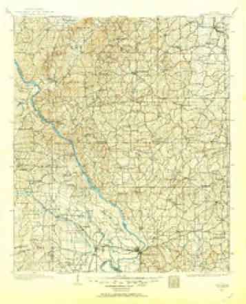
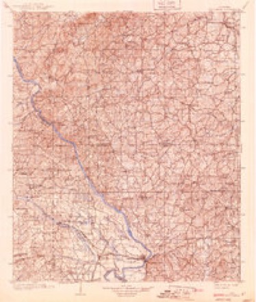
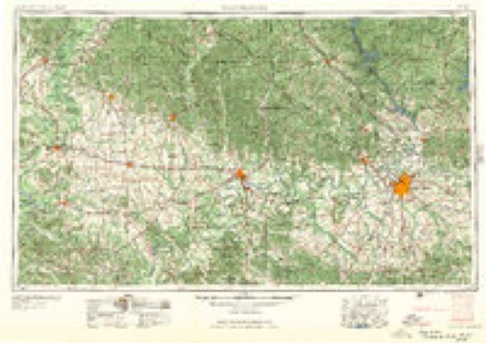
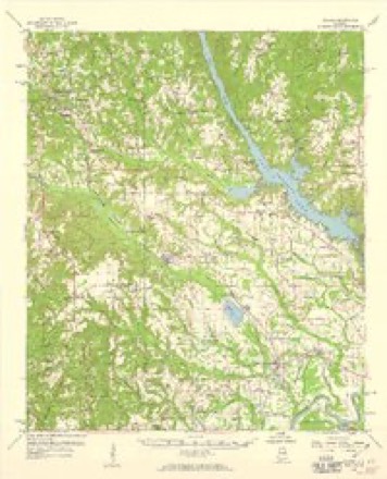
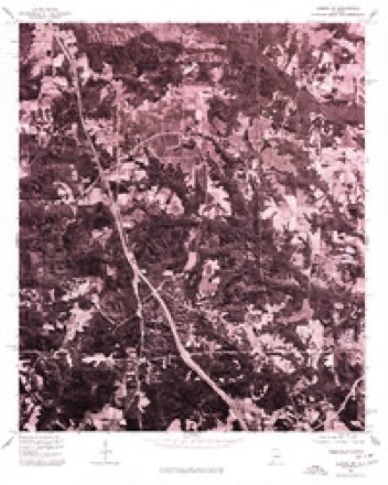
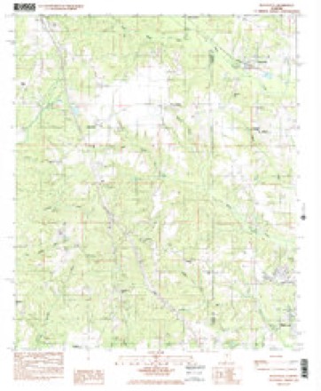
10 surveys from 17 printed sheetsMatched by testing this settlement's coordinate against the published boundary of every sheet in the United States Geological Survey's historical collection. Each opens the scanned sheet at the Survey.
- 1901 USGS Wetumpka quadrangle1:125000
- 1903 USGS Wetumpka quadrangle1:125000, 3 printings
- 1953 USGS Montgomery quadrangle1:250000, 4 printings
- 1956 USGS Montgomery quadrangle1:250000
- 1957 USGS Montgomery quadrangle1:250000
- 1959 USGS Elmore quadrangle1:62500, 2 printings
- 1975 USGS Elmore SW quadrangle1:24000
- 1984 USGS Deatsville quadrangle1:24000, 2 printings
- 1986 USGS Clanton quadrangle1:100000
- 1987 USGS Clanton quadrangle1:100000
Fires near this place
200 since 1994Regional context, not property-specific evidence. The federal wildfire occurrence database lists 200 fires within 5 miles of Deatsville between 1994 and 2020, burning about 477 acres in total. 1 started naturally. 34 were recorded as arson. Distance is straight-line from the map coordinates, so a fire counted here may appear on a neighbouring settlement's page as well.
| Reported cause | Fires |
|---|---|
| Debris and open burning | 80 |
| Missing data/not specified/undetermined | 40 |
| Arson/incendiarism | 34 |
| Equipment and vehicle use | 20 |
| Recreation and ceremony | 10 |
| Misuse of fire by a minor | 7 |
| Railroad operations and maintenance | 7 |
| Natural | 1 |
| Smoking | 1 |
The most recent of them, most recent first, with the day each was reported and the service that recorded it.
| Date | Cause | Size | Reported by | Name on the report |
|---|---|---|---|---|
| 9 September 2002 | Debris and open burning | under an acre | Alabama Forestry Commission | not named |
| 7 September 1998 | Debris and open burning | under an acre | Alabama Forestry Commission | not named |
| 5 September 2002 | Debris and open burning | under an acre | Alabama Forestry Commission | not named |
| 30 September 2007 | Arson/incendiarism | 26 acres | Alabama Forestry Commission | not named |
| 28 September 2008 | Missing data/not specified/undetermined | under an acre | Alabama Forestry Commission | not named |
| 23 September 1999 | Equipment and vehicle use | under an acre | Alabama Forestry Commission | not named |
| 23 September 1999 | Equipment and vehicle use | under an acre | Alabama Forestry Commission | not named |
| 16 September 1999 | Debris and open burning | under an acre | Alabama Forestry Commission | not named |
Settlements close enough to share some of these fires:
Mines and quarries near this place
1 within 5 milesRegional context, not property-specific evidence. The federal mineral resources record lists 1 working within 5 miles of Deatsville: 1 producer. All of them still produce. What was taken out: Sand and Gravel, Construction. Distance is straight-line from the map coordinates, so a quarry counted here may appear on a neighbouring settlement's page as well.
| Where | Site | Commodity | Status | Recorded |
|---|---|---|---|---|
| Elmore Pit | Sand and Gravel, Construction | Producer | Quartz |
Storms near this place
24 since 1998Regional context, not property-specific evidence. The National Weather Service names Deatsville in 24 storm reports between 1998 and 2026: 15 thunderstorm wind, 3 hail, 3 flash flood, 3 tornado. No death or injury is recorded in these reports. Each account below is quoted exactly as the forecast office filed it, from the NOAA Storm Events Database, and each date opens the federal record of that event.
| When | Event | Place named | Harm | What the report says |
|---|---|---|---|---|
| April 2003 | Hail | Deatsville | $500,000 | Supercell 2 was nearing the end of its lifecycle as it began merging with supercell 1 near Tallassee. Before this merger process, the storm produced a hail swath across central Elmore County from near Deatsville to near Tallassee. The hail size ranged from penny size to slightly larger than golf balls. Many locations reported that the hail was completely covering the ground. |
| July 1998 | Thunderstorm Wind | Deatsville | $20,000 | A mobile home was damaged and another was pushed off its blocks in the Deatsville community. |
| September 2011 | Thunderstorm Wind | Deatsville | $5,000 | Several trees were reported down in the community of Holtville. A porch also collapsed, causing damage to the roof of a house. |
| December 2011 | Tornado (EF0) | Deatsville | $5,000 | A tornado initially touched down along County Road 57, just south of County Road 49 in Autauga County. It moved to the northeast causing damage to a mobile home and tree damage. It crossed the Elmore County line and continued its northeastward progression. A few trees were snapped or uprooted and large branches were downed as well. The tornado eventually lifted along Tram Road. |
| June 2011 | Thunderstorm Wind | Deatsville | $2,000 | Trees were blown down at several locations around Deatsville. |
| September 2009 | Flash Flood | Deatsville | $2,000 | Several roads around the city of Deatsville had to be closed due to high water. |
| January 2026 | Thunderstorm Wind | Deatsville | - | NWS meteorologists performed a storm survey in the Old Kingston and Pine Level areas of Autauga County and the Deatsville and Holtville areas of Elmore County. Findings were consistent with straight-line wind damage associated with an area of broad rotation within a line of severe thunderstorms. In Elmore County, a few downed trees were found in the Deatsville area. Minimal damage was noted downstream of Deatsville. In Holtville, roofing was blown off a home and a backyard shed was flipped on Highway 111. On one section of Lake Region Cir, a few trees were uprooted and fell on power lines. Damage was consistent with winds as high as 60 mph. |
| February 2025 | Thunderstorm Wind | Deatsville | - | Trees were downed in the Deatsville area. |
| March 2025 | Thunderstorm Wind | Deatsville | - | Several trees were downed in the Deatsville area. |
| January 2024 | Flash Flood | Deatsville | - | Numerous roadways across Elmore County were flooded and impassable, especially in the Holtville, Elmore, and Millbrook areas. |
| May 2024 | Thunderstorm Wind | Deatsville | - | Several trees and a few power lines were downed in the Deatsville and Wetumpka areas. |
| January 2023 | Tornado (EF2) | Deatsville | - | National Weather Service meteorologists surveyed damage in western Elmore County and determined that it was consistent with an EF2 tornado, with maximum winds near 120 mph. The tornado began in a wooded area near the Autauga/Elmore County line, with snapped tree tops observed west of Highway 143. It tracked northeastward and began to intensify as it reached Coosa River Road and Foreman Road, where multiple hardwood trees were uprooted, a barn was damaged, and minor shingle damage occurred to residences. It continued to uproot trees, damage outbuildings, and remove shingles from homes as it crossed Highway 111 near Chase Drive and Toad Road. More hardwood trees were uprooted along Shady Nook Drive before it began to cross the Shoal Creek inlet of Jordan Lake. It remained over the lake for a little while and uprooted trees near the Lightwood Road bridge, some of which fell on residences. The tornado reached its maximum intensity as it reached the northeast side of Jordan Lake. Multiple residences on Circle Drive suffered roof damage with much of the roof removed from one residence. Many hardwood trees were snapped and some boathouses were destroyed. The tornado continued to move along the northeast shore of the lake uprooting trees, some of which fell on residences, and caused roof damage. Dozens of residences suffered varying levels of damage. The tornado exited the lake near Joe's Fish Camp Road, where several hardwood trees were uprooted. The tornado became progressively weaker while continuing to uproot a few trees, eventually dissipating northeast of Titus Road prior to reaching Highway 231. |
| August 2023 | Thunderstorm Wind | Deatsville | - | Several trees uprooted around Deatsville and Titus, at least one of which knocked down power lines. |
| January 2023 | Tornado (EF2) | Deatsville | - | National Weather Service meteorologists surveyed damage in northwest Elmore County and determined that it was consistent with an EF2 tornado, with maximum winds near 125 mph. This tornado originated in Autauga County and crossed into Elmore County just north of Tram Road. The tornado crossed near the intersection of Lightwood Road and Coosa River Road, where a manufactured home was rolled and destroyed and a home lost a major portion of its roof. The tornado then crossed the Coosa River, affecting Neely Road on the west bank and Kelly Road on the east bank, where several homes lost portions of their roofs. The tornado continued northeast and crossed Highway 29, where a residence lost a significant portion of its roof. As the tornado crossed Grays Ferry Road on the northeast side of Titus, a large number of pine trees were uprooted and snapped. Numerous trees were snapped and uprooted as the tornado tracked through northwest Elmore County and towards southern Coosa County.|The tornado crossed into Coosa County just west of Highway 231. |
| June 2022 | Thunderstorm Wind | Deatsville | - | Several trees uprooted in Deatsville. |
| July 2022 | Thunderstorm Wind | Deatsville | - | Numerous trees uprooted between Deatsville and Holtville. |
| May 2021 | Flash Flood | Deatsville | - | Observed rainfall amounts of 3-5 inches across southern Elmore County in less than a six hour period produced flash flooding. Several homes were inaccessible due to high water and water overflowing Rifle Range Road. |
| January 2017 | Thunderstorm Wind | Deatsville | - | Several trees uprooted in the town of Deatsville. |
| January 2017 | Thunderstorm Wind | Deatsville | - | Roof damage and steeple blown off Shoal Creek Baptist Church. |
| January 2014 | Thunderstorm Wind | Deatsville | - | Multiple trees were uprooted, along with powerlines down, across several areas in Elmore County, including the Deatsville, Jordan Lake, and Weoka Mills communities. The roof of an old barn was removed along Coosa River Road, destroying the barn. An awning was removed from a home near the intersection of Lightwood Road and Blackwells Road. Roads blocked by uprooted trees included Buyck Road at Wood Road, Providence Road at Jackson Trace, Bradley Road and Weoka Road, Titus Road at Speigner Road, and also several locations along Highway 231 between Titus Road and the Coosa County line. |
| April 2011 | Thunderstorm Wind | Deatsville | - | Winds were estimated. |
| November 2004 | Hail | Deatsville | - | Penny size hail was reported near Deatsville. |
| May 1999 | Thunderstorm Wind | Deatsville | - | Trees and power lines were knocked down on CR 143 near Deatsville. |
| April 1998 | Hail | Deatsville | - | Hail the size of nickels was reported by a storm spotter in Deatsville. |
Nearest settlements
The eight closest, with where each one stands in the county. Distances are straight-line, computed from the Geographic Names Information System coordinates.
| Map | Place | Distance | Sheets |
|---|---|---|---|
| Cold Spring | 1.5 miles | 17 | |
| Coosa River | 3.1 miles | 16 | |
| Speigner | 3.2 miles | 17 | |
| Holtville | 4.1 miles | 16 | |
| Adkin Hill | 4.5 miles | 17 | |
| Grandview Pines | 5.2 miles | 17 | |
| North Elmore | 5.4 miles | 17 | |
| Springfield | 6.3 miles | 17 |
Elsewhere
Matched on this settlement's Geographic Names Information System number rather than its name, so it cannot be a different place of the same name in another state.
| Wikipedia article on Deatsville | An encyclopaedic summary. Its text is share-alike, so it is linked here rather than copied. |
| Wikidata item Q67244 | The structured record the population and elevation above come from. Public domain (CC0). |
Provenance
This settlement is recorded in the Geographic Names Information System as feature 155049. The sheet list is computed by point-in-boundary test against the United States Geological Survey's historical topographic inventory. Both are works of the United States government and carry no copyright under 17 U.S.C. 105.
Wildfire. Short, Karen C. 2022. Spatial wildfire occurrence data for the United States, 1992-2020 [FPA_FOD_20221014]. 6th Edition. Fort Collins, CO: Forest Service Research Data Archive. https://doi.org/10.2737/RDS-2013-0009.6 Collected with United States Government funding and usable without additional permissions or fees.
Mines and quarries. USGS Mineral Resources Data System (MRDS) https://mrdata.usgs.gov/mrds/ A work of the United States government, no copyright under 17 U.S.C. 105.
Storms. NOAA National Centers for Environmental Information, Storm Events Database https://www.ncei.noaa.gov/stormevents/ A work of the United States government, no copyright under 17 U.S.C. 105. Narratives are quoted verbatim from the National Weather Service report and are not edited or summarised.