 Block
From the record
13 National Register listings published here, 1 of them a National Historic Landmark.
Sources: the National Register database, National Park Service
70 topographic sheets and 6 fire insurance atlases across 1 place.
13 National Register listings published here, 1 of them a National Historic Landmark.
Sources: the National Register database, National Park Service
Taken for the Office of War Information and the Farm Security Administration, who photographed the country between 1935 and 1944. Works of United States government photographers, with no known restriction on use. Each opens its catalogue record.
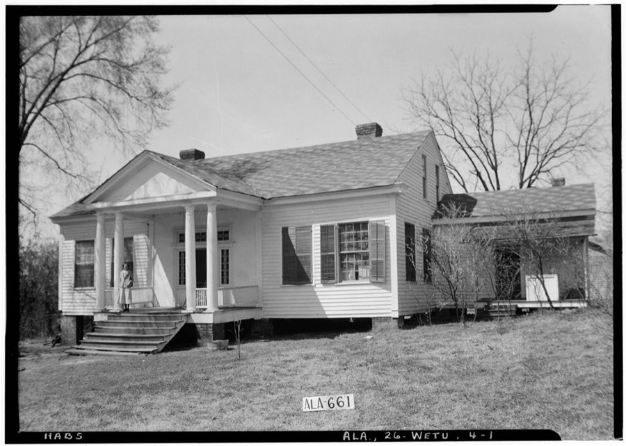
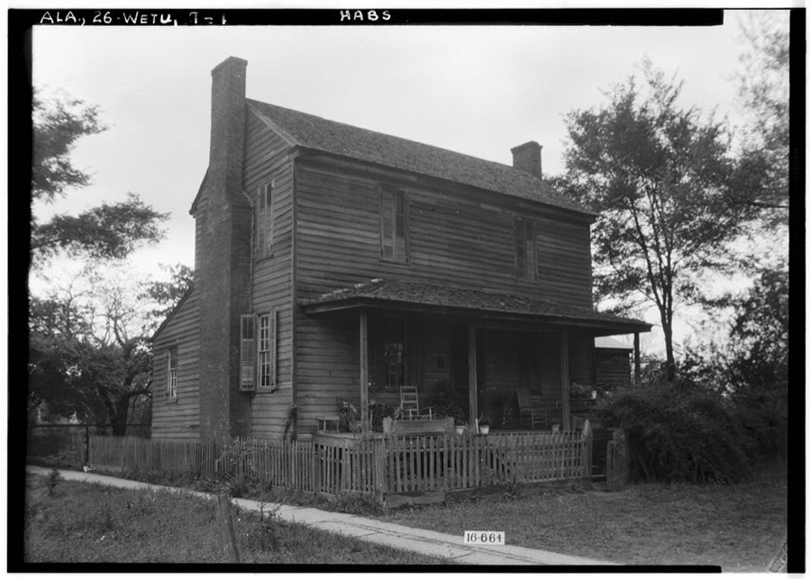
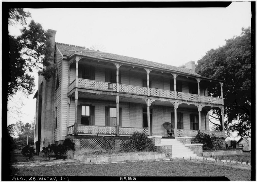
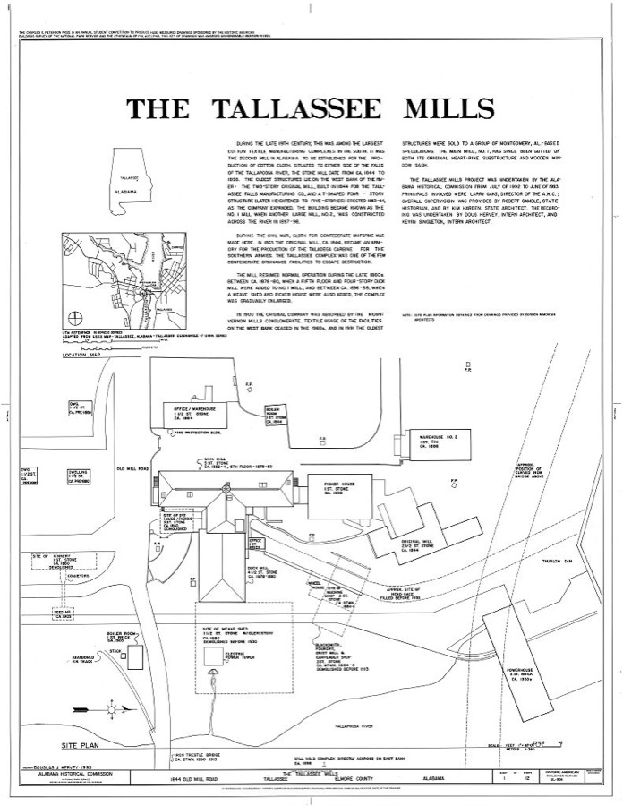
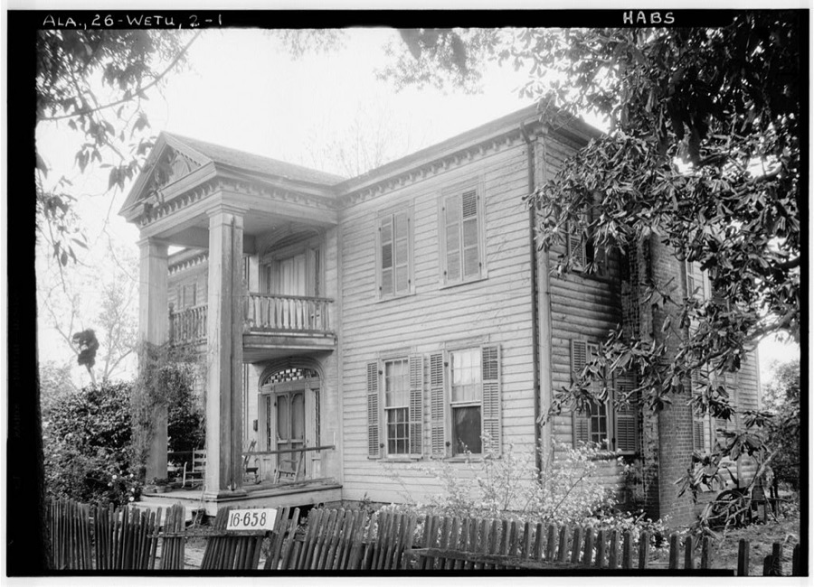
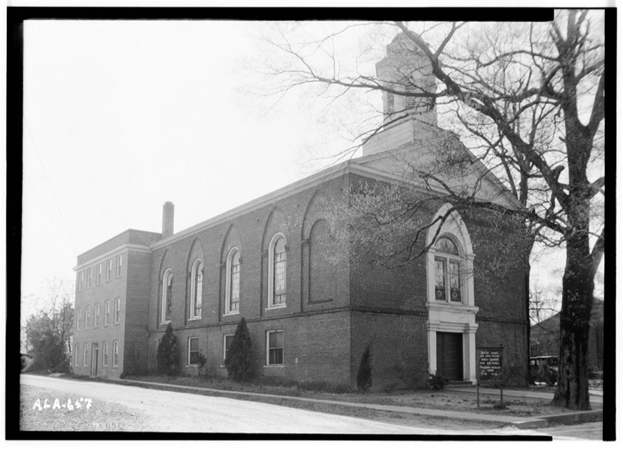
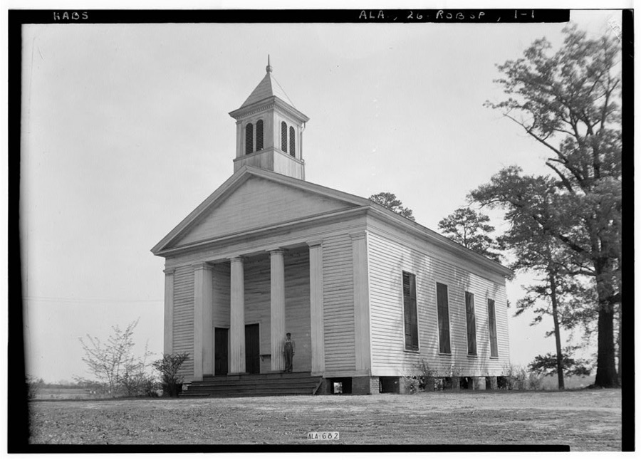
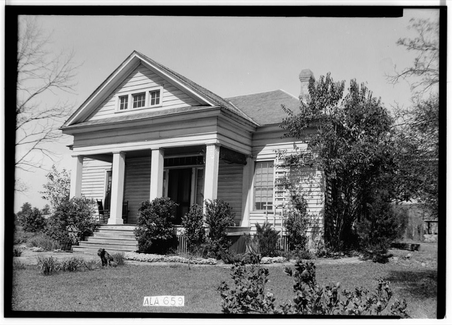
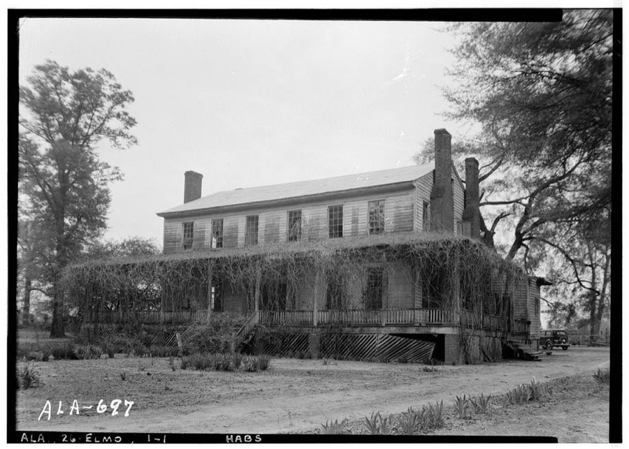
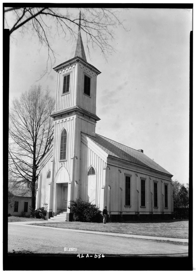
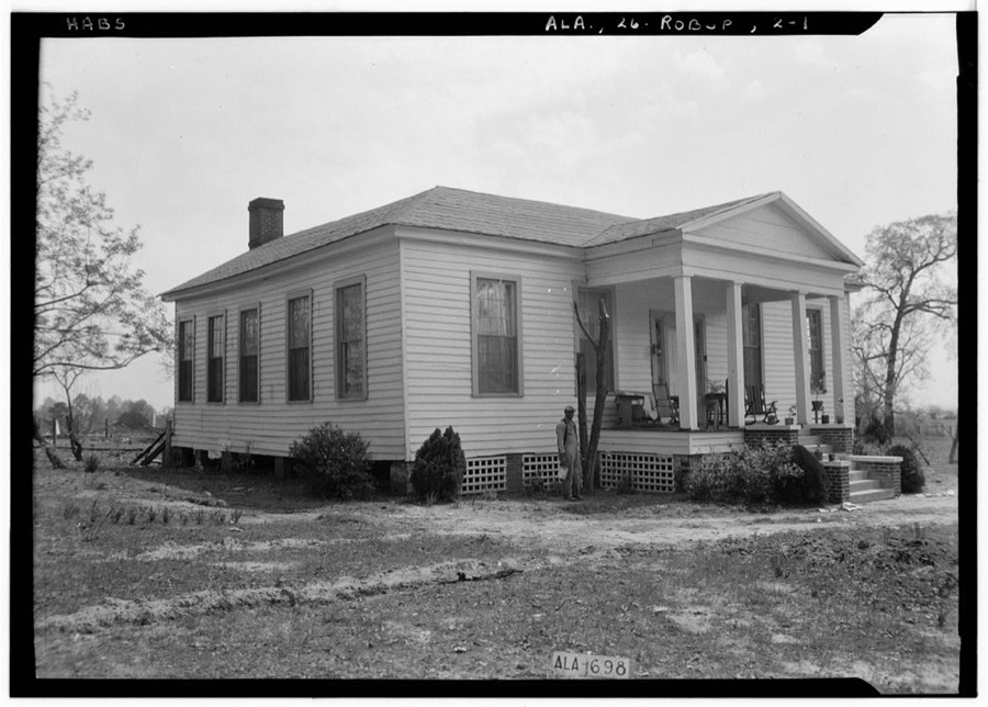
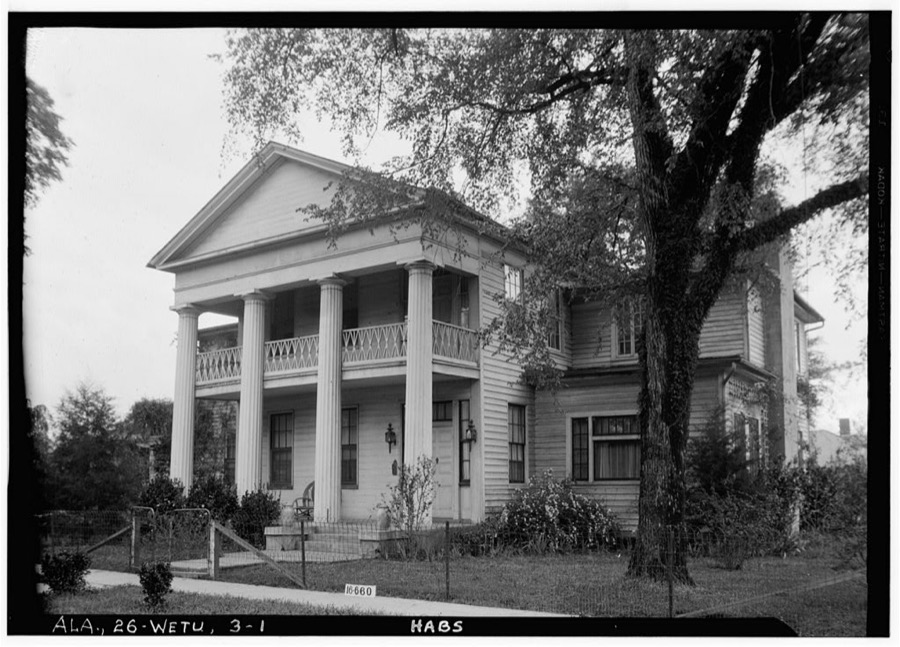
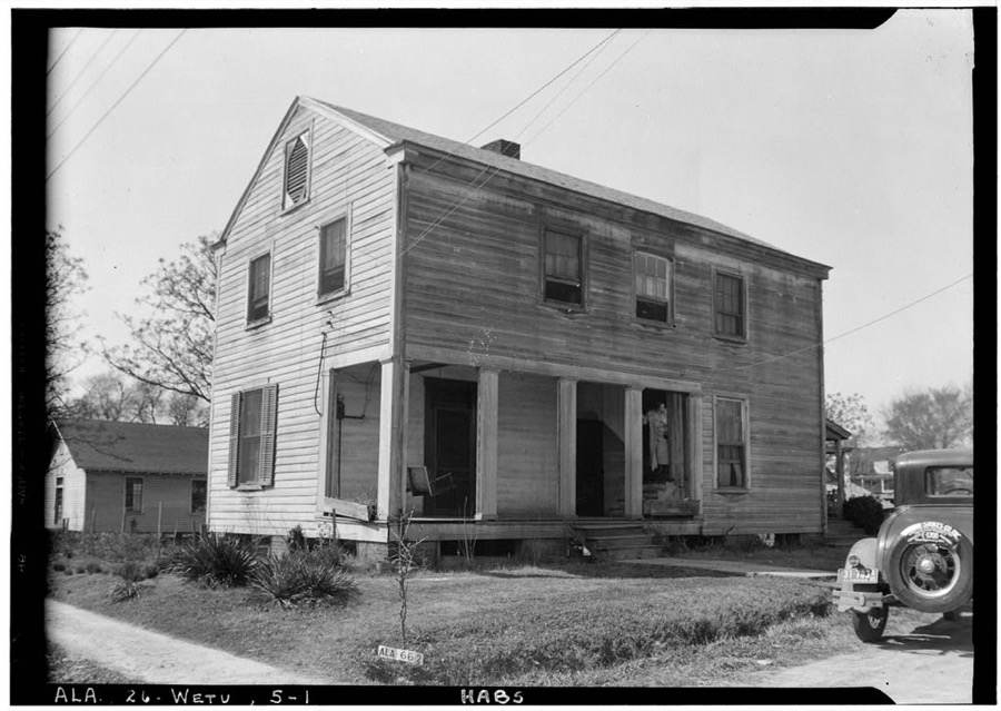
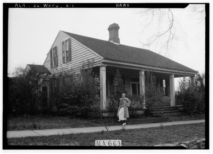
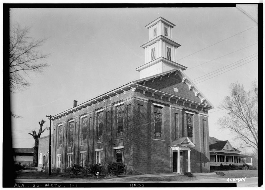
Every property in this county listed on the National Register of Historic Places, with the year it was listed and the federal nomination document.
| Photograph | Property | Type | Listed | Reference |
|---|---|---|---|---|
 | Alabama State Penitentiary | building | 1973 | 73000342 |
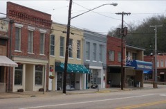 | East Wetumpka Commercial Historic District | district | 1992 | 92000055 |
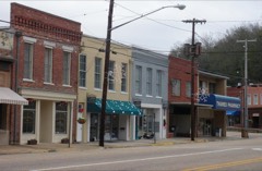 | East Wetumpka Commercial Historic District (Boundary Increase) | district | 1999 | 99000884 |
| Ellerslie | building | 2013 | 13000957 | |
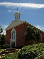 | First Baptist Church of Wetumpka | building | 2008 | 06001101 |
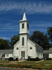 | First Presbyterian Church Of Wetumpka | building | 1976 | 76000324 |
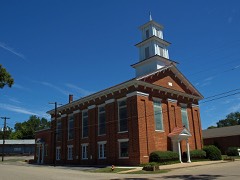 | First United Methodist Church | building | 1973 | 73000343 |
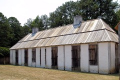 | Fort Toulouse | site | 1966 | 66000148 |
| Abel Hagerty House | building | 2008 | 07001389 | |
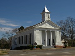 | Robinson Springs United Methodist Church | building | 1982 | 82002012 |
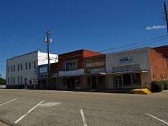 | Tallassee Commercial Historic District | district | 1992 | 92000072 |
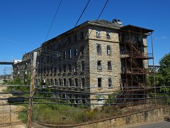 | Tallassee Mills | district | 2010 | 09000734 |
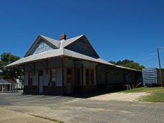 | Wetumpka L & N Depot | building | 1975 | 75000312 |
Sampled issues, machine-read from the Library of Congress scan and published page by page, so every headline and column is searchable text.
Wetumpka, Ala., 1847 to 18??. Machine-read from the Library of Congress scan.
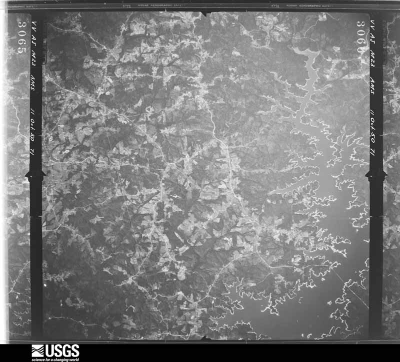
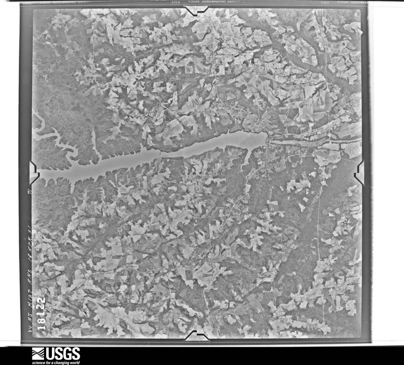
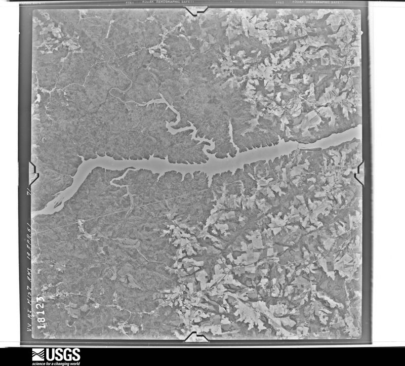
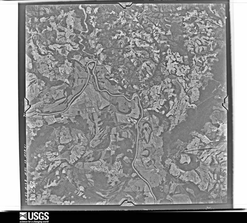
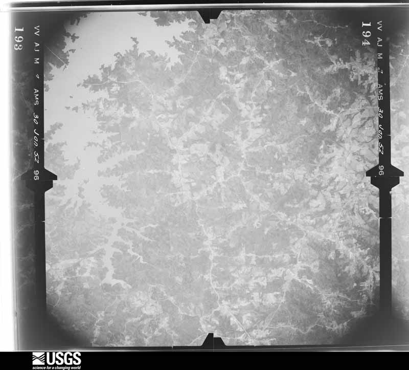
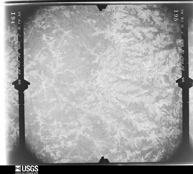
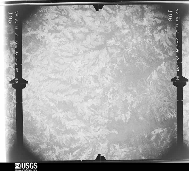
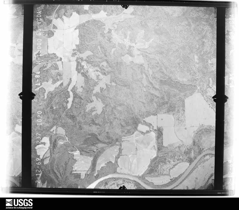
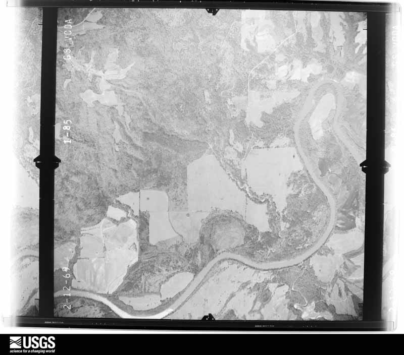
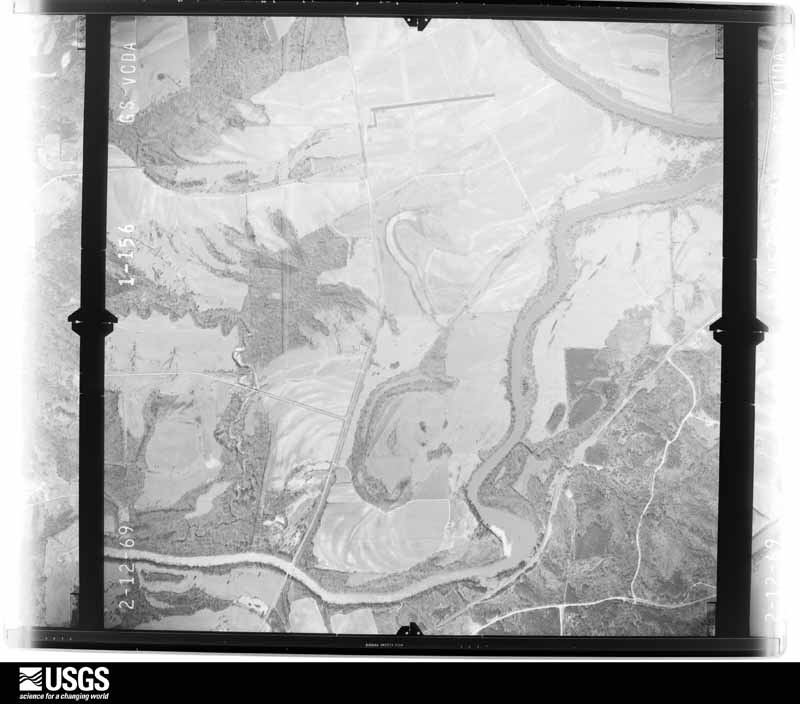
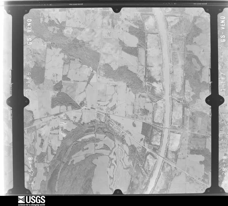
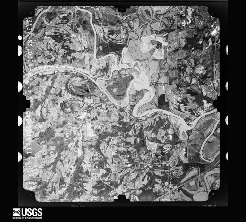
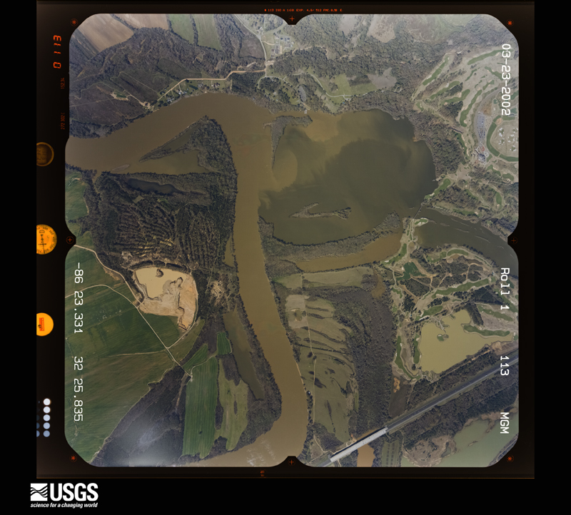
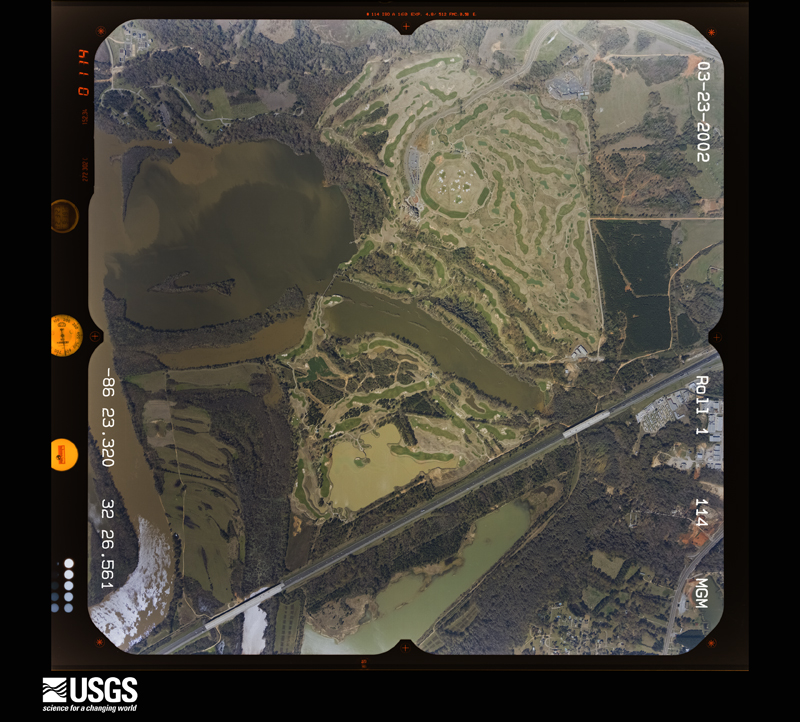
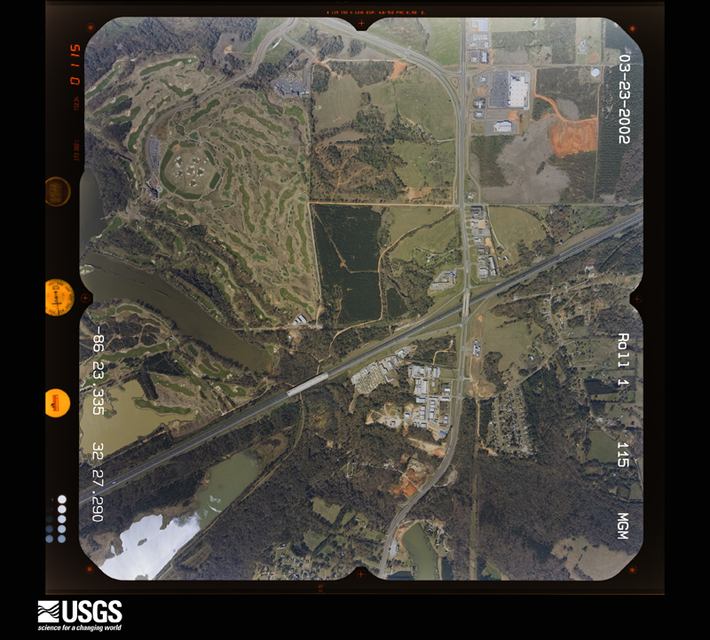
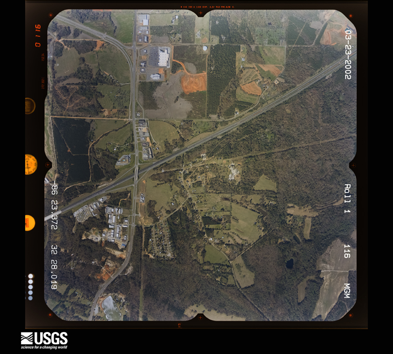
Flown by the U.S. Geological Survey between 1937 and 1989, the Aerial Photo Single Frames collection is the definitive mid-century view of the land: fields, roads and rivers as the camera saw them. The Survey holds 924 frames inside the rectangle that bounds this county; the 35 frames below were taken over the county itself, chosen across the decades of flights (at most four a year from that rectangle), so one flight cannot crowd out the rest. The full set is free to browse and download at EarthExplorer under the dataset Aerial Photo Single Frames.




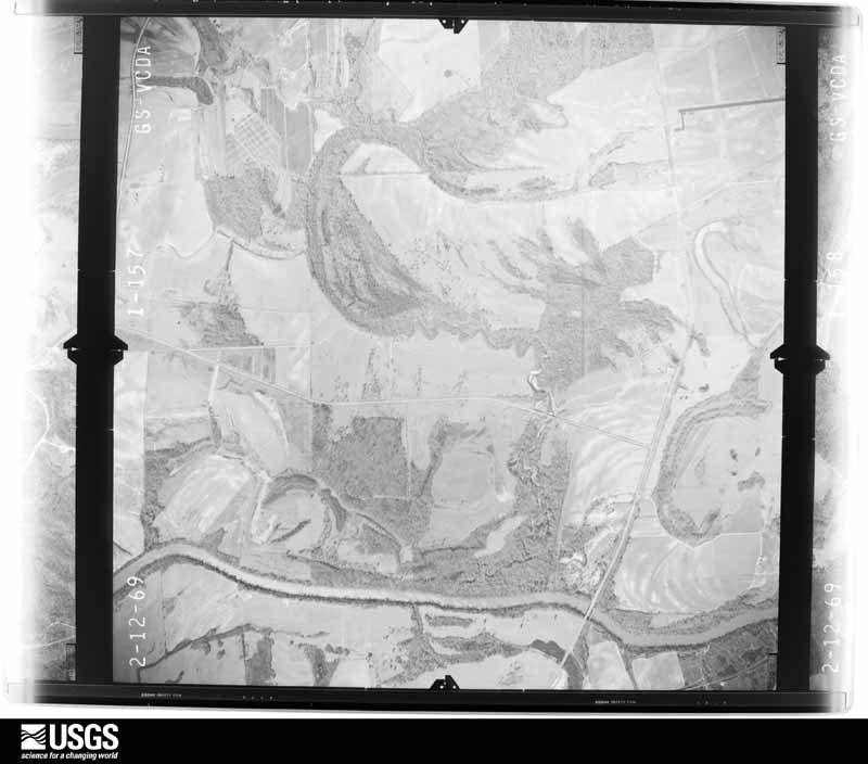



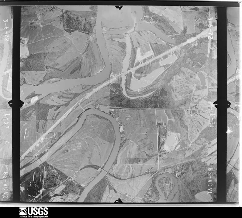
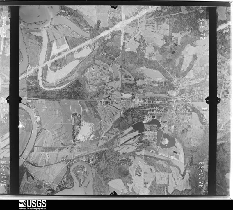
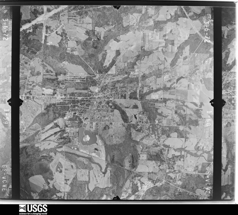
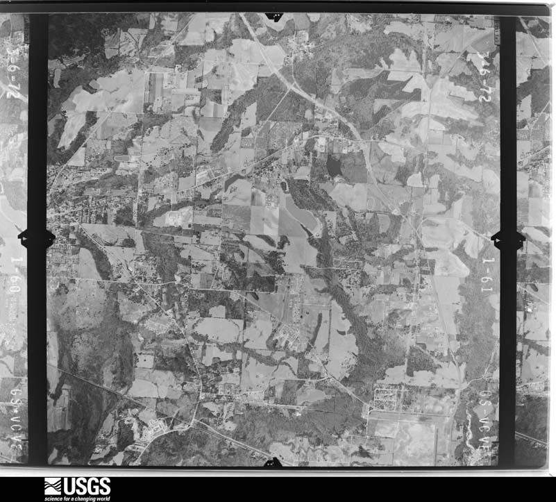
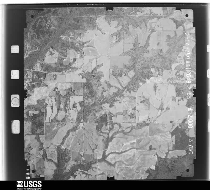
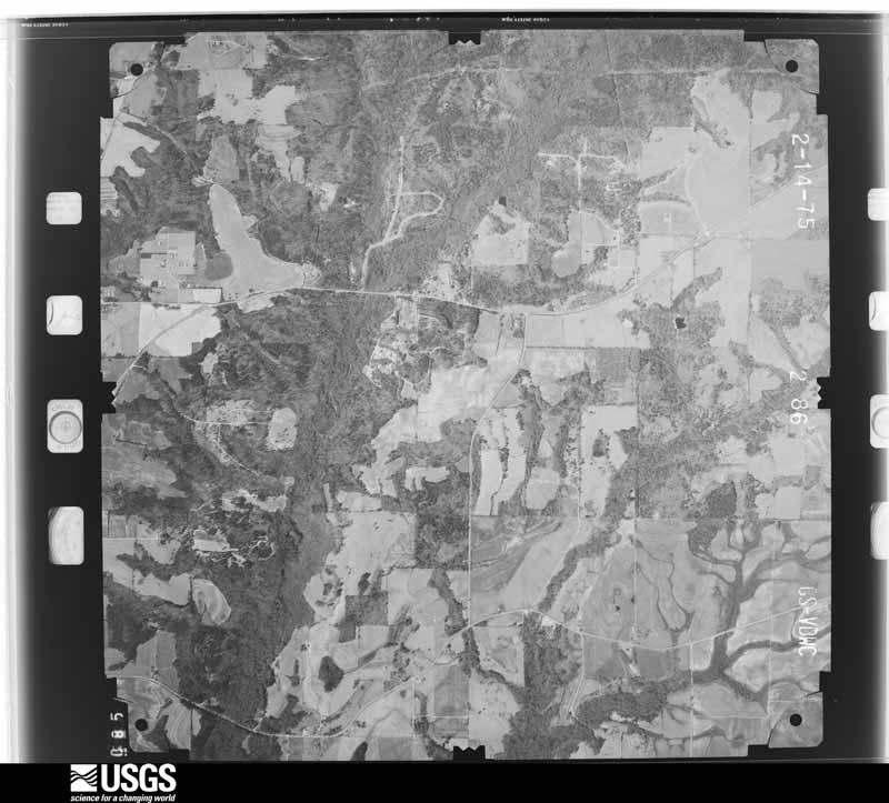
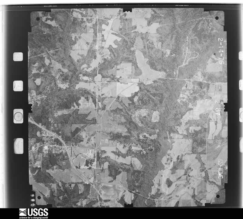
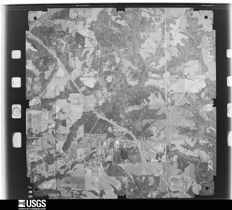
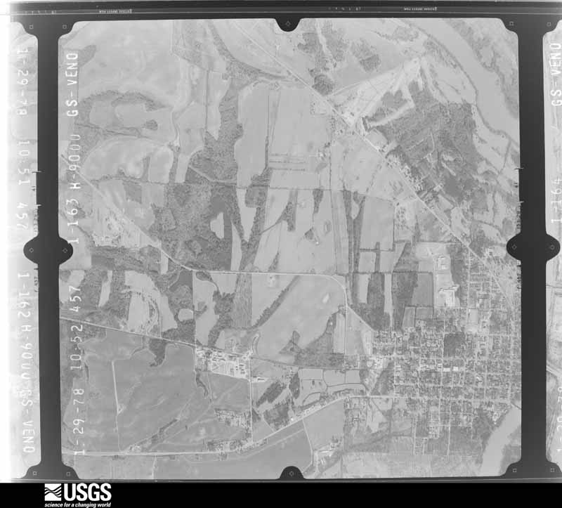
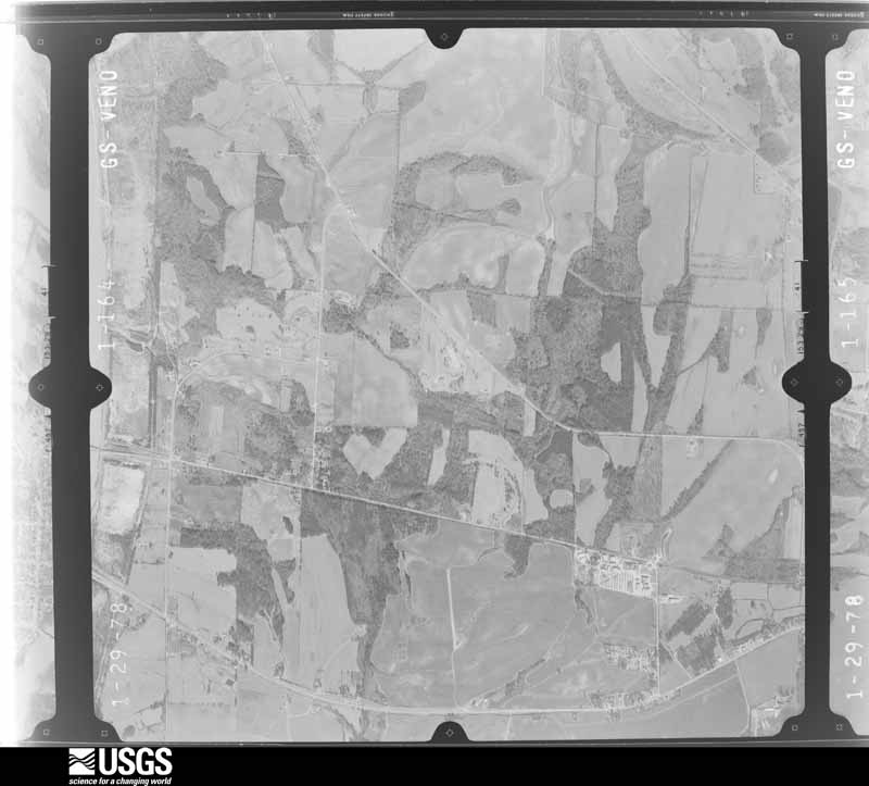
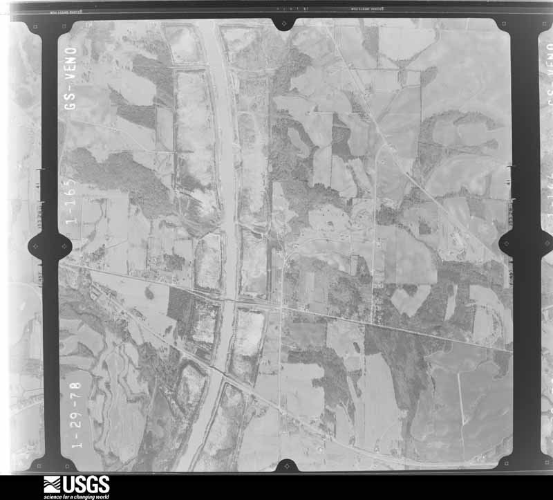
The thermometers that kept this county's weather, and the gages that measured the flow of its streams, as the federal records hold them. The extremes below are measured values from those records, not estimates.
Who lived here in 1950, one enumeration district at a time, as the Census Bureau described each district. Each row opens its official National Archives result, with Population Schedules and ED Maps available there.
Every wildfire the federal occurrence database records inside this county: 1,343 of them, burning about 7,899 acres. 26 started naturally and 183 were recorded as arson. Each settlement page carries the fires within five miles of it.
| Reported cause | Fires |
|---|---|
| Debris and open burning | 499 |
| Missing data/not specified/undetermined | 206 |
| Arson/incendiarism | 183 |
| Recreation and ceremony | 154 |
| Equipment and vehicle use | 136 |
| Misuse of fire by a minor | 75 |
| Railroad operations and maintenance | 48 |
| Natural | 26 |
| Smoking | 11 |
| Other causes | 2 |
| Fireworks | 2 |
| Power generation/transmission/distribution | 1 |
The five largest, by the area the report gives. Four of them were set deliberately.
| Date | Cause | Size | Reported by | Name on the report |
|---|---|---|---|---|
| 21 July 2000 | Natural | 236 acres | Alabama Forestry Commission | not named |
| 1 July 2007 | Natural | 196 acres | Alabama Forestry Commission | HIGHWAY 231 |
| 4 March 2013 | Arson/incendiarism | 175 acres | Alabama Forestry Commission | ECR-20130304-007 |
| 9 April 1995 | Recreation and ceremony | 142 acres | Alabama Forestry Commission | not named |
| 13 April 1999 | Arson/incendiarism | 133 acres | Alabama Forestry Commission | not named |
| 18 September 1995 | Missing data/not specified/undetermined | 132 acres | Alabama Forestry Commission | not named |
| 15 September 1999 | Arson/incendiarism | 126 acres | Alabama Forestry Commission | not named |
| 5 April 2004 | Arson/incendiarism | 111 acres | Alabama Forestry Commission | not named |
Every settlement page carries the fires within five miles of it - see the settlement index below.
The NOAA Storm Events Database holds 550 reports for this county, causing 8 deaths, 49 injuries and about $69,444,400 in recorded property damage. Each settlement page carries the reports that name it.
| Kind of event | Reports |
|---|---|
| Thunderstorm Wind | 317 |
| Hail | 111 |
| Tornado | 56 |
| Flash Flood | 43 |
| Lightning | 13 |
| Funnel Cloud | 5 |
| Heavy Rain | 3 |
| Flood | 2 |
The most serious of them, by death, then injury, then recorded damage. The accounts are quoted exactly as the forecast office filed them.
| When | Event | Place named | Harm | What the report says |
|---|---|---|---|---|
| April 2011 | Tornado (EF3) | Wallsburg | 6 killed, 20 hurt, $50,000,000 | A tornado touched down in central Elmore County and moved northeast through central Tallapoosa and western Chambers Counties, before it lifted north northwest of Lafayette. The tornado touched down north of Wetumpka, along CR 209 where a few trees were downed and minor home damage were noted. The tornado quickly intensified as it moved northeast through Dexter, where it caused major damage to several homes, outbuildings and farm equipment that was consistent with winds of 130 mph, an EF2. It continued across AL Hwy 9 and damaged several homes. The tornado intensified south of Central to EF3 strength, where it destroyed a mobile home and damaged several single family homes near CR 418. It moved through a mobile home park at the intersection of Middle Road and Auction Barn Road, where it completely destroyed 10 mobile homes and killed 4 people. The tornado continued east to the Mount Hebron Road area. Here, the tornado destroyed several homes, businesses, 2 churches, and an agricultural nursery. The tornado then crossed Lake Martin, just south of the AL Hwy 63 Bridge, doing significant damage to numerous homes around the Windermere area, as its path widened to 0.5 mile. The tornado crossed into Tallapoosa County near Stoney Ridge Rd. |
| March 1999 | Thunderstorm Wind | Millbrook | 1 killed, $135,000 | Strong thunderstorm wind downed numerous trees along CR2 just west of the intersection with SR 143. At that intersection, a number of very large trees were uprooted falling on several mobile homes. A 23-year-old man was killed when one of the trees fell on his mobile home crushing him while he slept. Additional tree damage occurred east of the mobile home park producing a path of damage about 1.7 miles long. Minor roof damage also occurred to several structures west of SR 143 along CR 2. |
| July 2015 | Lightning | Robinson Spgs | 1 killed | A 73 female died when she was struck by lightning while picking blueberries near her home. |
| March 1976 | Tornado (F3) | not stated | 15 hurt, $2,500,000 | no account filed |
| January 2019 | Tornado (EF2) | Wetumpka | 4 hurt | National Weather Service meteorologists surveyed damage in Elmore County and determined that it was consistent with an EF2 tornado, with maximum sustained winds near 135 mph. The tornado began near the Coosa River just southwest of downtown Wetumpka. It quickly intensified as it moved northeast into downtown Wetumpka. The extent of damage done to multiple structures in Wetumpka indicated a tornado with high-end EF2 wind speeds. The damage included: collapse/failure of exterior walls, significant damage to interior walls, roof failures, shifting of structures, and collapse of structures due to direct and indirect causes. Several vehicles were also tossed or rolled, with debris puncturing framing. Trees were also snapped and uprooted. The First Presbyterian Church was heavily damaged, but rescue/clean-up efforts precluded an accurate assessment of damage.||The tornado continued northeastward, crossed the Coosa River, and then paralleled State Route 170 as it continued to damage structures and snap and uproot trees. The tornado cycled as it moved northeast into the northern portions of the town of Eclectic, evident via a new radar TDS (tornado debris signature) and fluctuating degree of damage. The tornado dissipated just before Lake Martin, near Holly Mill Road. |
| March 1977 | Tornado (F2) | not stated | 2 hurt, $250,000 | no account filed |
| December 1983 | Thunderstorm Wind | not stated | 2 hurt | no account filed |
| November 2004 | Thunderstorm Wind | Tallassee | 1 hurt, $85,000 | Numerous trees and power lines were blown down or snapped off throughout Tallassee. One man suffered minor injuries when a tree landed on his moving vehicle. |
| January 1998 | Thunderstorm Wind | Holtville | 1 hurt, $50,000 | Strong straight-line wind was believed responsible for property damage across northern Elmore County from southeast of the Lightwood community in northwest Elmore County to Seman in the north central part of the county. A house of unknown construction was destroyed about 4 miles northwest of Holtville. A man lying on a sofa was picked up by the wind along with the sofa and blown about 300 yards. Numerous trees along with power lines were downed by the wind. Emergency management officials surveyed the damage, and they believe the damage was caused by strong wind. |
| June 2017 | Thunderstorm Wind | Neman | 1 hurt | Cinder block wall collapsed and fell on woman causing one injury. |
| July 2012 | Thunderstorm Wind | Millbrook | 1 hurt | A patio cover was blown down, causing minor damage to the home and injuring the resident. |
| July 2009 | Lightning | North Elmore | 1 hurt | A female was struck by lightning on Bouldin Dam Road. |
| April 2007 | Lightning | Millbrook | 1 hurt | One person was struck by lightning near Emerald Mountain. The person was working in a house under construction. |
| May 2009 | Flash Flood | Millbrook | $4,900,000 | Numerous county roads and city streets became impassable and suffered extensive damage due to flooding caused by torrential rainfall. The cities of Wetumpka, Millbrook, and Deatsville were especially hard hit. At least 43 homes, 10 business, and 2 churches also suffered damage due to the flooding. The Millbrook city parks and recreation areas suffered substantial damage. |
| May 1984 | Tornado (F3) | not stated | $2,500,000 | no account filed |
| November 1979 | Tornado (F3) | not stated | $2,500,000 | no account filed |
| April 2011 | Tornado (EF2) | Weoka | $1,330,000 | A tornado touched down 6.4 miles west of Central, along County Road 334 in Elmore County. The tornado moved to the northeast and crossed the Coosa County line. The tornado then crossed State Highway 9 and continued moving east, eventually crossing into Tallapoosa County. The tornado lifted on the east side of northern Lake Martin. In Elmore County, numerous trees were snapped or uprooted along the path. |
| March 1996 | Tornado (F3) | Eclectic | $700,000 | no account filed |
| April 2003 | Thunderstorm Wind | Titus | $600,000 | The supercell remained very strong over Elmore County. A large swath of wind and hail damage occurred across the county. Numerous trees were blown down from near Titus to near Tallassee. Hail was observed up to 2.50 inches in diameter. Funnel clouds and a roaring sound accompanied the storm. |
| April 2003 | Hail | Deatsville | $500,000 | Supercell 2 was nearing the end of its lifecycle as it began merging with supercell 1 near Tallassee. Before this merger process, the storm produced a hail swath across central Elmore County from near Deatsville to near Tallassee. The hail size ranged from penny size to slightly larger than golf balls. Many locations reported that the hail was completely covering the ground. |
| March 1996 | Tornado (F1) | Eclectic | $500,000 | no account filed |
| August 1992 | Tornado (F1) | not stated | $250,000 | no account filed |
| April 1982 | Tornado (F1) | not stated | $250,000 | no account filed |
| November 1979 | Tornado (F2) | not stated | $250,000 | no account filed |
| March 1996 | Tornado (F1) | Wetumpka | $150,000 | no account filed |
| November 2004 | Tornado (F0) | Millbrook | $122,000 | no account filed |
| February 2008 | Tornado (EF1) | Millbrook | $100,000 | The Prattville Tornado continued into Elmore County near Millbrook. It continued its northeast motion, and crossed Interstate 65 and AL-14. It then veered to the left, and moved almost due north for several more miles, before lifting just west of Speigner Lake. In Elmore County, the tornado snapped and uprooted several trees and produced generally light structural damage to several buildings. |
| August 1995 | Thunderstorm Wind | Red Hill | $85,000 | Thunderstorm winds downed trees in Elmore County. Considerable damage was caused in the Red Hill area in the northeast part of the county along Lake Martin. The Red Hill Volunteer Fire Department reported damage to 16 lakefront homes, two of the houses had their roofs blown completely off. Wetumpka Police reported trees and power lines down. Trees fell on two houses. |
| April 2003 | Flash Flood | Countywide | $80,000 | Several roads across the county were temporarily closed due to high water. A few of the roads had sections washed away. |
| February 2011 | Tornado (EF0) | Robinson Spgs | $55,000 | A tornado touched down 1.5 miles southwest of Pine Level in Autauga County and |entered Elmore County about 0.36 miles north of Kenner Creek, south southwest of Deatsville, at 1710CST. This tornado continued for another 4.5 miles, before dissipating at 1720CST, near Dozier Farm Road, northwest of the city of Elmore. In Elmore County, the most significant damage occurred on Harris Road where dozens of trees were snapped or uprooted and numerous homes sustained minor roof damage. One mobile home was overturned, but exterior walls remained intact. |
| May 2008 | Lightning | Wetumpka | $50,000 | A tree that was struck by lightning fell onto a house and briefly trapped its occupants. |
| April 2003 | Hail | Millbrook | $50,000 | The supercell thunderstorm remained very strong as it moved across extreme southwest Elmore County. Hail up to the size of baseballs fell across the area generally the southern side of Millbrook down to the Alabama River. Several automobiles were damaged. |
| April 2003 | Tornado (F0) | Tallassee | $45,000 | A small tornado touched down northwest of Tallassee and crossed SR 14 on a east-southeast path. The weak tornado downed trees and caused minor roof damage to several residential structures. |
| June 1998 | Thunderstorm Wind | Wetumpka | $45,000 | Trees were down and part of a roof was blown off at the Jordan Lake Marina. |
| January 1997 | Tornado (F1) | Elmore | $45,000 | no account filed |
| December 1996 | Thunderstorm Wind | Tallassee | $40,000 | no account filed |
| July 2005 | Tornado (F0) | Tallassee | $38,000 | no account filed |
| November 2010 | Tornado (EF0) | Wetumpka | $35,000 | The tornado touched down west of US 231, north of Wetumpka. Some homes suffered shingle damage along River Falls Road. The tornado moved northeastward and as it approached US Highway 231, a roof of a large hay barn collapsed. The tornado then crossed CR-209 near Fortner Road, where several trees were uprooted. The tornado finally lifted near the intersection of Balm Road and Mt Zion Road. |
| November 2006 | Tornado (F1) | Kent | $30,000 | The Kent tornado touched down about 3 miles west of the Kent Community, near the intersection of County Road 159 and Chana Creek Road. The tornado then tracked north northeast and lifted near the intersections of State Highway 50, State Highway 229 and County Road 361. The tornado damage path generally paralleled State Highway 229 for a few miles. A roof was blown off a house and several trees were blown down along the path. |
| July 2000 | Thunderstorm Wind | Wetumpka | $30,000 | Trees and power lines were blown down in and around Wetumpka. One vehicle was totally destroyed by a falling tree. |
| November 2006 | Tornado (F1) | Ware | $25,000 | The Emerald Mountain tornado touched down just north of the Tallapoosa River, just to the northeast of the toll bridge. This location is near the intersection of Emerald Mountain Expressway and County Road 4. A few small trees were blown over and limbs were broken off trees. The tornado tracked northeast into the Emerald Mountain Subdivision. At the top of the hill, a well constructed home sustained fairly substantial roof damage with the entire roof being shifted 3 inches. The tornado lifted in the Emerald Mountain Subdivision east of Grove Park Loop. |
| April 1995 | Tornado (F1) | Elmore | $25,000 | What appeared to be a small tornado damaged a section of Elmore County from Millbrook to Elmore in the western part of the county. The area affected paralleled Highway 14. Aluminum skirting was ripped off about 20 mobile homes at one mobile home park, and numerous trees and power lines were downed in the area. |
| January 1998 | Flash Flood | Countywide | $25,000 | no account filed |
| July 2005 | Thunderstorm Wind | Countywide | $22,000 | Several trees were blown down just north of Wetumpka near the Julia Tutwiler Prison. Several trees and power lines were blown down along Hogan Road east of Deatsville. |
| July 2005 | Flash Flood | Millbrook | $22,000 | Several roads in Millbrook were flooded and were temporarily impassable. One local business sustained flood damage. |
| August 1995 | Thunderstorm Wind | Wetumpka | $22,000 | Thunderstorm winds downed trees in Elmore County. Considerable damage was caused in the Red Hill area in the northeast part of the county along Lake Martin. The Red Hill Volunteer Fire Department reported damage to 16 lakefront homes, two of the houses had their roofs blown completely off. Wetumpka Police reported trees and power lines down. Trees fell on two houses. |
| May 2019 | Lightning | Wetumpka | $20,000 | Lightning produced a house fire on River Ridge Street. |
| June 2010 | Thunderstorm Wind | Eclectic | $20,000 | Numerous trees were blown down, including one onto a house, on Double Bridge Ferry Road, near Eclectic. |
| June 2009 | Thunderstorm Wind | Santuck | $20,000 | Numerous trees were blown down across Elmore County, including the communities of Redland, Santuck, Emerald Mountain, Friendship, Red Hill, and Weldon Road, and the cities of Wetumpka and Tallassee. A tree fell onto a barn in Tallassee. |
| May 2006 | Lightning | Wetumpka | $20,000 | Lightning caused a fire that heavily damaged the attic of a home in the Redland Community. |
| November 2002 | Thunderstorm Wind | Titus | $20,000 | One home had its roof blown off in Titus. Several trees were blown down across the county. |
| February 2000 | Thunderstorm Wind | Tallassee | $20,000 | Several trees were blown down in Tallassee. Two outbuildings were heavily damaged. |
| June 1999 | Flash Flood | Countywide | $20,000 | More than two inches of rain fell in a short period of time resulting in flooding. Several roads were flooded and closed and a few homes had flood damage. |
| July 1998 | Thunderstorm Wind | Deatsville | $20,000 | A mobile home was damaged and another was pushed off its blocks in the Deatsville community. |
| September 2000 | Flash Flood | Countywide | $20,000 | no account filed |
| April 1996 | Thunderstorm Wind | Eclectic | $20,000 | no account filed |
| March 2005 | Hail | Millbrook | $18,000 | Hail up to the size of golf balls fell from near Millbrook all the way to the county line at Lake Martin. |
| March 2003 | Thunderstorm Wind | Tallassee | $18,000 | Some large trees were uprooted and a few of the trees landed on vehicles. A tin roof was blown off the old Hammerstone Foods Plant. |
| September 1998 | Tornado (F0) | Wetumpka | $18,000 | A tornado moved northwest across western Elmore county from just northeast of Wetumka to just northwest of the Wallsboro community. Some minor damage was reported at the Julia Tutwiler Prison . Trees and power lines were down in Wallsboro and a doctor's office was damaged. |
| April 1997 | Lightning | Prattville | $18,000 | Lightning struck a garage and pool house and destroyed the buildings. |
The Survey's mineral resources record lists 25 workings inside this county. 16 still produce and 9 are closed or unrecorded. Each settlement page carries the workings within five miles of it.
| Commodity | Workings |
|---|---|
| Sand and Gravel, Construction | 22 |
| Clay | 3 |
| REE, Titanium, Metal, Zirconium, Kyanite | 1 |
The least common of them first, because a county's hundredth gravel pit says nothing its first ten did not.
| Where | Site | Commodity | Status | Recorded |
|---|---|---|---|---|
| Elmore Pit | Sand and Gravel, Construction, REE, Titanium, Metal, Zirconium, Kyanite | Producer | Placer | |
| Elm 1 Clay Prospect | Clay | Prospect | ||
| Gober Pit Jenkins Brick Company | Clay | Producer | ||
| Hillabee Pit No 2 | Clay | Producer | ||
| Dredge No. 1 | Sand and Gravel, Construction | Unknown | ||
| Elmore Pit | Sand and Gravel, Construction | Producer | Quartz | |
| Elmore Pit | Sand and Gravel, Construction | Past Producer | ||
| Elmore Pit | Sand and Gravel, Construction | Producer | ||
| Flatwood Quarry | Sand and Gravel, Construction | Producer | Unconsolidated Sediments | |
| Flatwood Sand & Gravel | Sand and Gravel, Construction | Producer | ||
| Johnson Pit | Sand and Gravel, Construction | Past Producer | ||
| Millbrook Pit | Sand and Gravel, Construction | Past Producer | ||
| Millbrook Quarry | Sand and Gravel, Construction | Producer | Quartz | |
| Millbrook Scott Pit | Sand and Gravel, Construction | Producer | ||
| Nichols/Poundstone | Sand and Gravel, Construction | Producer | ||
| Pit #1 | Sand and Gravel, Construction | Producer | ||
| Pit No. 1 | Sand and Gravel, Construction | Producer | ||
| Ready Mix Number 1 Quarry | Sand and Gravel, Construction | Producer | Quartz | |
| Sand Plant & Pit | Sand and Gravel, Construction | Producer | ||
| Sharpe # 1 | Sand and Gravel, Construction | Producer | ||
| Southeast Construction, Inc. Pit | Sand and Gravel, Construction | Past Producer | ||
| Unnamed Quarry | Sand and Gravel, Construction | Producer | Quartz | |
| Wetumpka Pit | Sand and Gravel, Construction | Past Producer | ||
| Wetumpka Pit & Hepburn Dredge | Sand and Gravel, Construction | Past Producer | ||
| Wetumpka Pit & Johnson Dredge | Sand and Gravel, Construction | Past Producer |
Named settlements recorded in the Geographic Names Information System, each with the topographic sheets covering it. Villages, hamlets and abandoned places alike. Each is shown with the nearest named watercourse or landform and the survey quadrangle it falls on. The 1 place that was also surveyed for fire insurance comes first, with the number of atlases and photographs held for them.
Wetumpka census division · 36092 · On We-hemt-le · Wetumpka quadrangle
18 sheets, 1901 to 1987
Fire insurance: 6 atlases
Deatsville census division · 36092 · On Hurricane Branch · Elmore quadrangle
17 sheets, 1901 to 1987
Wetumpka census division · 36093 · On Harwell Mill Creek · Willow Springs quadrangle
13 sheets, 1953 to 1987
Wetumpka census division · 36093 · Willow Springs quadrangle
13 sheets, 1953 to 1987
Wetumpka census division · 36092 · On We-hemt-le · Wetumpka quadrangle
18 sheets, 1901 to 1987
Elmore census division · 36054 · On Zion Branch · Elmore quadrangle
17 sheets, 1901 to 1987
Tallassee census division · 36078 · Tallassee quadrangle
11 sheets, 1906 to 1981
No longer a settlement
Tallassee census division · 36078 · On Harrington Branch · Tallassee quadrangle
11 sheets, 1906 to 1981
Wetumpka census division · 36092 · On Taylor Creek · Wetumpka quadrangle
18 sheets, 1901 to 1987
Deatsville census division · 36022 · On Gennie Branch · Holtville quadrangle
16 sheets, 1901 to 1987
Elmore census division · 36020 · On Zion Branch · Montgomery North quadrangle
20 sheets, 1927 to 1986
Elmore census division · 36025 · On Cottonford Creek · Elmore quadrangle
17 sheets, 1901 to 1987
Elmore census division · 36066 · On Grandview Branch · Prattville quadrangle
18 sheets, 1927 to 1986
Elmore census division · 36054 · On Jackson Branch · Montgomery North quadrangle
20 sheets, 1927 to 1986
Tallassee census division · 36078 · On Harrington Branch · Tallassee quadrangle
11 sheets, 1906 to 1981
Wetumpka census division · 36093 · On Brensen Branch · Brassell quadrangle
12 sheets, 1953 to 1987
No longer a settlement
Eclectic census division · 36024 · On Haney Creek · Claud quadrangle
17 sheets, 1901 to 1987
Elmore census division · 36054 · On Kenner Creek · Deatsville quadrangle
17 sheets, 1901 to 1987
Elmore census division · 36054 · On Grandview Branch · Montgomery North quadrangle
20 sheets, 1927 to 1986
Wetumpka census division · 36092 · On Neathery Creek · Wetumpka quadrangle
18 sheets, 1901 to 1987
Deatsville census division · 36022 · On Shoal Creek · Holtville quadrangle
16 sheets, 1901 to 1987
Tallassee census division · 36078 · On Graveyard Creek · Tallassee quadrangle
11 sheets, 1906 to 1981
Elmore census division · 36054 · On Mill Creek · Montgomery North quadrangle
20 sheets, 1927 to 1986
Wetumpka census division · 36093 · On Marl Branch · Willow Springs quadrangle
13 sheets, 1953 to 1987
Tallassee census division · 36078 · On Lewis Creek · Tallassee quadrangle
11 sheets, 1906 to 1981
Elmore census division · 36054 · On Grandview Branch · Montgomery North quadrangle
20 sheets, 1927 to 1986
Wetumpka census division · 36093 · On Brensen Branch · Willow Springs quadrangle
13 sheets, 1953 to 1987
No longer a settlement
Elmore census division · 36054 · On Jackson Branch · Montgomery North quadrangle
20 sheets, 1927 to 1986
Elmore census division · 36025 · On Cottonford Creek · Elmore quadrangle
17 sheets, 1901 to 1987
Wetumpka census division · 36093 · On Brensen Branch · Willow Springs quadrangle
13 sheets, 1953 to 1987
Elmore census division · 36054 · On Zion Branch · Elmore quadrangle
17 sheets, 1901 to 1987
Elmore census division · 36054 · On Grandview Branch · Montgomery North quadrangle
20 sheets, 1927 to 1986
Elmore census division · 36054 · On Jackson Branch · Montgomery North quadrangle
20 sheets, 1927 to 1986
Wetumpka census division · 36092 · On Pigeonroost Creek · Wetumpka quadrangle
18 sheets, 1901 to 1987
Wetumpka census division · 36093 · On Harwell Mill Creek · Willow Springs quadrangle
13 sheets, 1953 to 1987
Titus census division · 36092 · On Lipschogee Creek · Dexter quadrangle
16 sheets, 1901 to 1987
Elmore census division · 36054 · On Jackson Branch · Montgomery North quadrangle
20 sheets, 1927 to 1986
Wetumpka census division · 36092 · On We-hemt-le · Wetumpka quadrangle
18 sheets, 1901 to 1987
Elmore census division · 36066 · On Fay Branch · Prattville quadrangle
18 sheets, 1927 to 1986
Elmore census division · 36054 · On Grandview Branch · Deatsville quadrangle
17 sheets, 1901 to 1987
Elmore census division · 36054 · On Grandview Branch · Elmore quadrangle
17 sheets, 1901 to 1987
Elmore census division · 36054 · On Kenner Creek · Elmore quadrangle
17 sheets, 1901 to 1987
Tallassee census division · 36078 · On Graveyard Creek · Tallassee quadrangle
11 sheets, 1906 to 1981
Wetumpka census division · 36092 · On Taylor Creek · Wetumpka quadrangle
18 sheets, 1901 to 1987
Titus census division · 36080 · On Lipschogee Creek · Dexter quadrangle
16 sheets, 1901 to 1987
Titus census division · 36080 · On Dunlap Creek · Holtville quadrangle
16 sheets, 1901 to 1987
Wetumpka census division · 36093 · On Tallapoosa River · Elmore quadrangle
17 sheets, 1901 to 1987
No longer a settlement
Wetumpka census division · 36092 · On Taylor Creek · Wetumpka quadrangle
18 sheets, 1901 to 1987
Titus census division · 36080 · On Pinkston Creek · Holtville quadrangle
16 sheets, 1901 to 1987
Wetumpka census division · 36093 · On Harwell Mill Creek · Willow Springs quadrangle
13 sheets, 1953 to 1987
The vanished settlements of Elmore County: the places named above that are no longer on the map.
18 topographic sheets and 6 fire insurance atlases, 1885 to 1944
The complete index, with nothing left out. Each of these is a separate record with its own page: a federal survey report, or the case file that argued a property on to the National Register. Both are public domain and reproduced word for word.
The vanished settlements of Elmore County, the places these records name that are no longer on the map.