 Block
Eutaw, Alabama
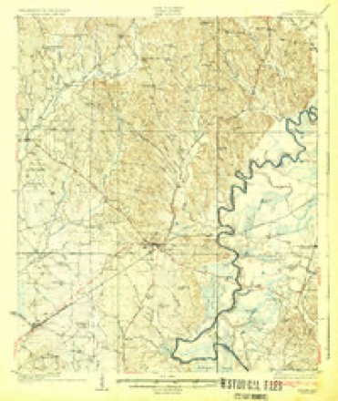
15 topographic sheets cover this place, the earliest surveyed in 1927 and the latest in 1990. It stands in the Eutaw census division. It lies in ZIP code area 35462. The Survey maps it on the Eutaw quadrangle. 2,937 people lived here at the 2020 count. It stands 217 feet above sea level.
Research this city
On record in Eutaw
Buildings and businesses the archive holds for this place. Each opens its own page, with the source record it came from.
On the National Register 12 of 30 shown
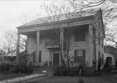 David Rinehart Anthony Houselisted 1982
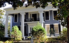 Basil Halllisted 1982
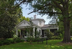 Gustave Braune Houselisted 1982
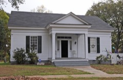 Samuel W. Cockrell Houselisted 1982
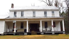 John Coleman Houselisted 1982
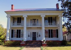 Coleman-Banks Houselisted 1970
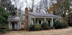 Attoway R. Davis Homelisted 1982
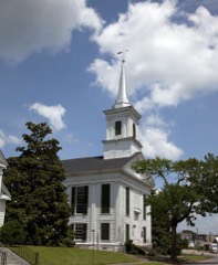 First Presbyterian Churchlisted 1974
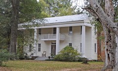 Glenvillelisted 1982
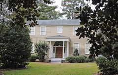 Rev. John H. Gray Houselisted 1982
 Greene County Courthouselisted 1971
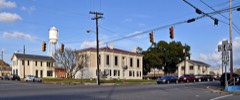 Greene County Courthouse Square Districtlisted 1979
Every listing in Greene County
Surveyed buildings and structures 12 of 16 shown
- A. W. Smith House, 220 Main Street, Eutawfederal building survey, 11 photographs
- Boligee Hill, Near U.S. Highway 11, Eutawfederal building survey, 14 photographs
- C. W. Dunlap House, 237 Wilson Avenue, Eutawfederal building survey, 6 photographs
- Clark-Malone House, 243 Wilson Street, Eutawfederal building survey, 4 photographs
- Eutaw Female Academy, Main Street & Wilson Avenue (moved from original site), Eutawfederal building survey, 7 photographs
- First Presbyterian Church, Main Street & Wilson Avenue, Eutawfederal building survey, 10 photographs
- Greene County Courthouse, Main & Boligee Streets, Prairie & Monroe Avenues, Eutawfederal building survey, 4 photographs
- Greene County Courthouse, Probate Judge's Office, Courthouse Square, Eutawfederal building survey, 2 photographs
- J. O. Banks House & Smokehouse, Springfield Avenue & Pickens Street, Eutawfederal building survey, 8 photographs
- Kirkwood, Mesopotomia Street & Kirkwood Drive, Eutawfederal building survey, 6 photographs
- Old Law Office, Main Street, Eutawfederal building survey, 2 photographs
- Perkins-Spencer House, Spencer Street, Eutawfederal building survey, 6 photographs
Population over time
2 figuresEutaw grew from 2,934 to 2,937 between 2010 and 2020. These are the recorded population figures Wikidata holds for this place, reached through the Geographic Names Information System number this page is keyed on rather than by name, so they belong to this place and not to another of the same name. Most are census counts, but not all are: an early figure may be a founding or settlement estimate, and an estimate published within five years of a census is left out. The change column is computed, and is left blank where more than 20 years separate a figure from the one before it, because a gap that long is not a change between two counts.
| Year | People | Change |
|---|---|---|
| 2010 | 2,934 | |
| 2020 | 2,937 | +3 (+0%) |
Topographic sheets covering this place
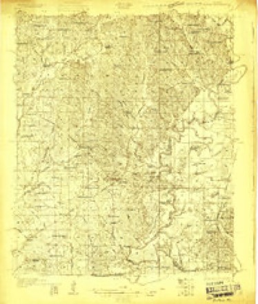
8 surveys from 15 printed sheetsMatched by testing this settlement's coordinate against the published boundary of every sheet in the United States Geological Survey's historical collection. Each opens the scanned sheet at the Survey.
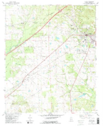
- 1927 USGS Eutaw quadrangle1:48000
- 1931 USGS Eutaw quadrangle1:62500, 4 printings
- 1953 USGS Montgomery quadrangle1:250000, 4 printings
- 1956 USGS Montgomery quadrangle1:250000
- 1957 USGS Montgomery quadrangle1:250000
- 1980 USGS Eutaw quadrangle1:24000, 2 printings
- 1986 USGS Demopolis quadrangle1:100000
- 1990 USGS Demopolis quadrangle1:100000
Photographs
8 of 21 photographs shown, 1936 to 1939Taken for the Office of War Information and the Farm Security Administration, who photographed the country between 1935 and 1944. Works of United States government photographers, with no known restriction on use. Each opens its catalogue record.
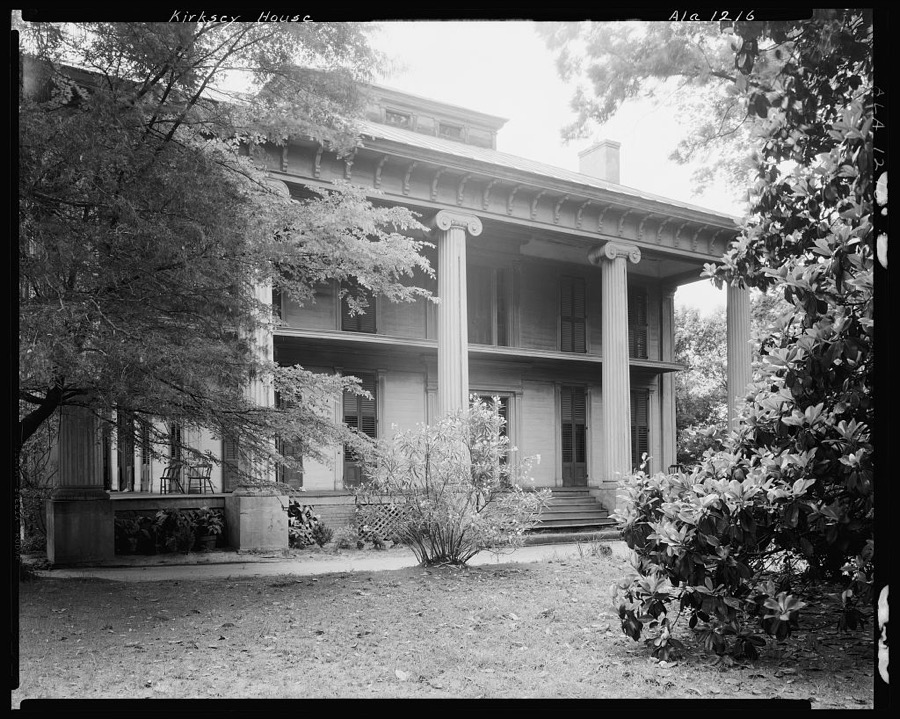
Johnston, Frances Benjamin, 1939. Library of Congress
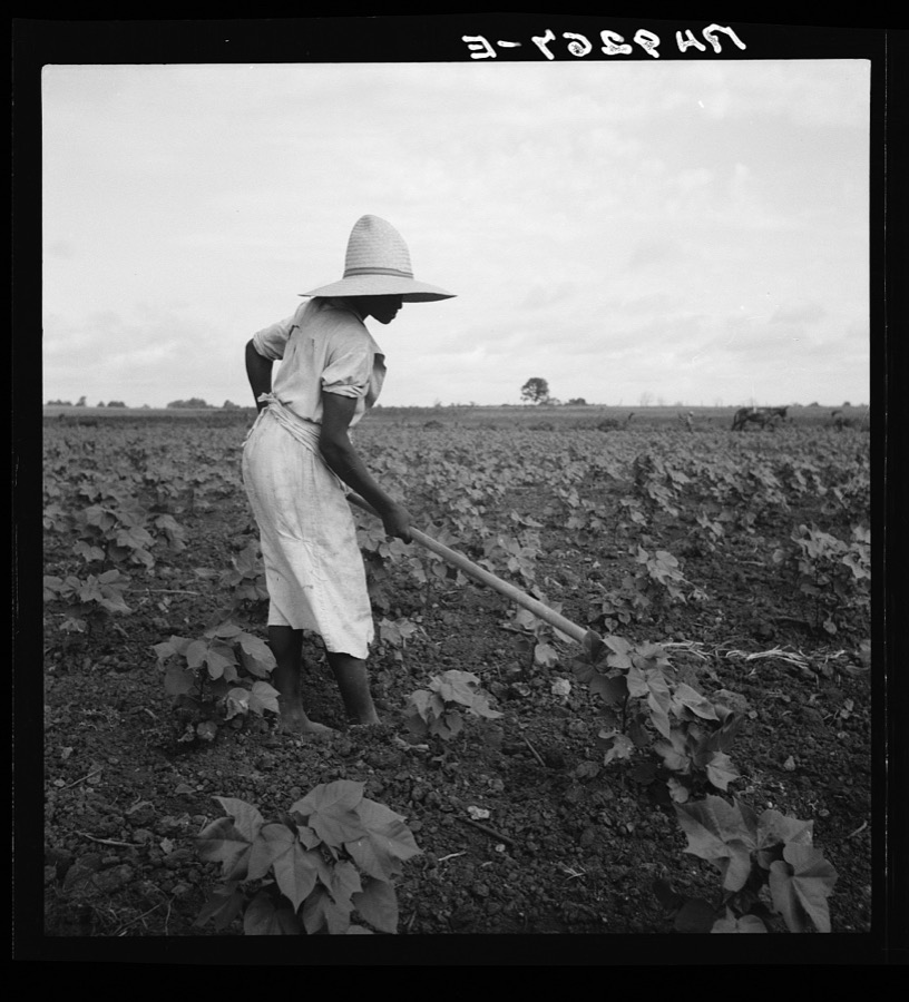
Lange, Dorothea, photographer, 1936. Library of Congress
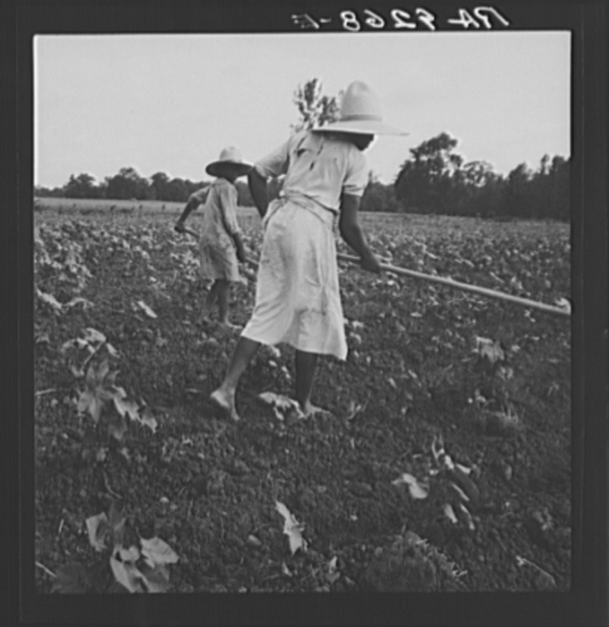
Lange, Dorothea, photographer, 1936. Library of Congress
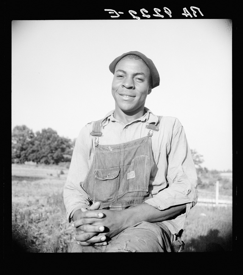
Lange, Dorothea, photographer, 1936. Library of Congress
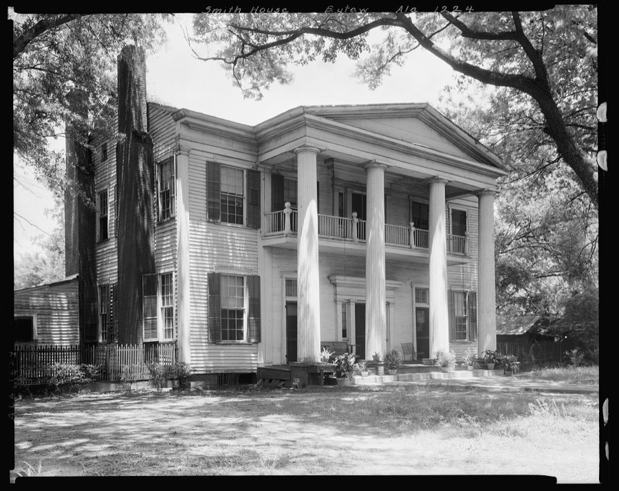
Johnston, Frances Benjamin, 1939. Library of Congress
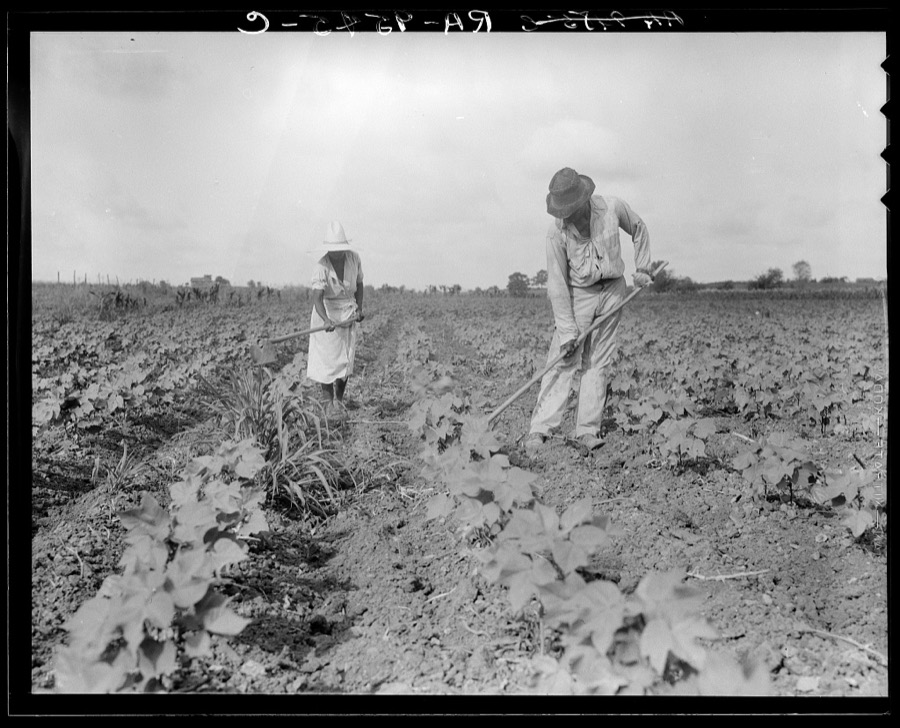
Lange, Dorothea, photographer, 1936. Library of Congress
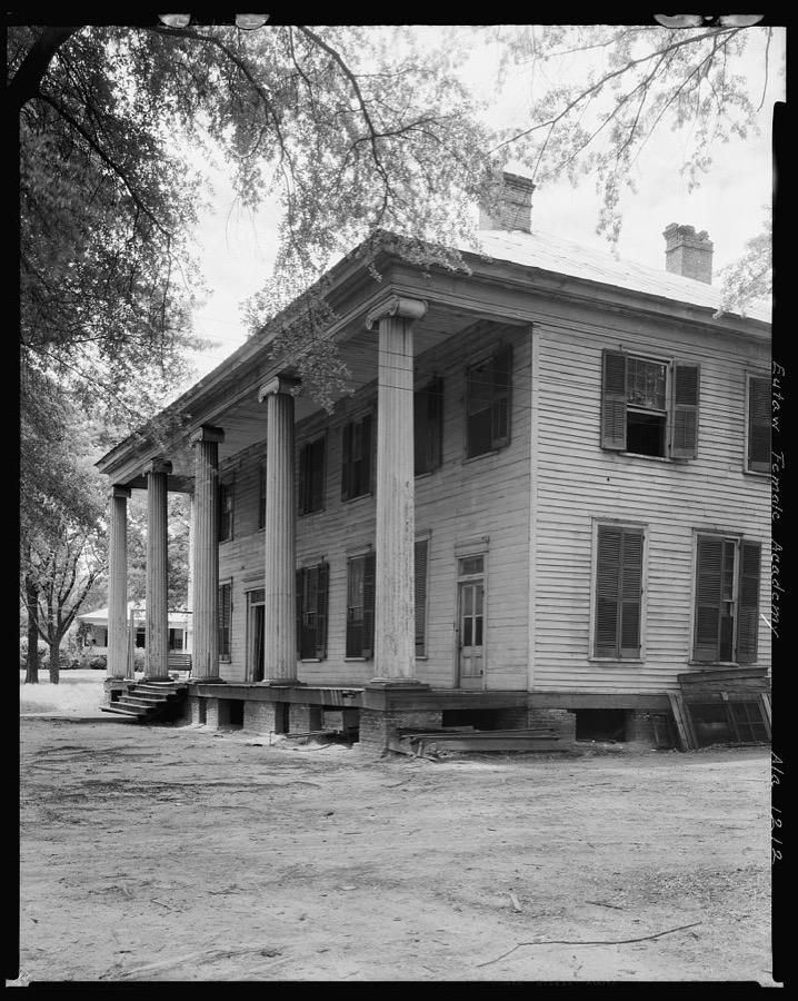
Johnston, Frances Benjamin, 1939. Library of Congress
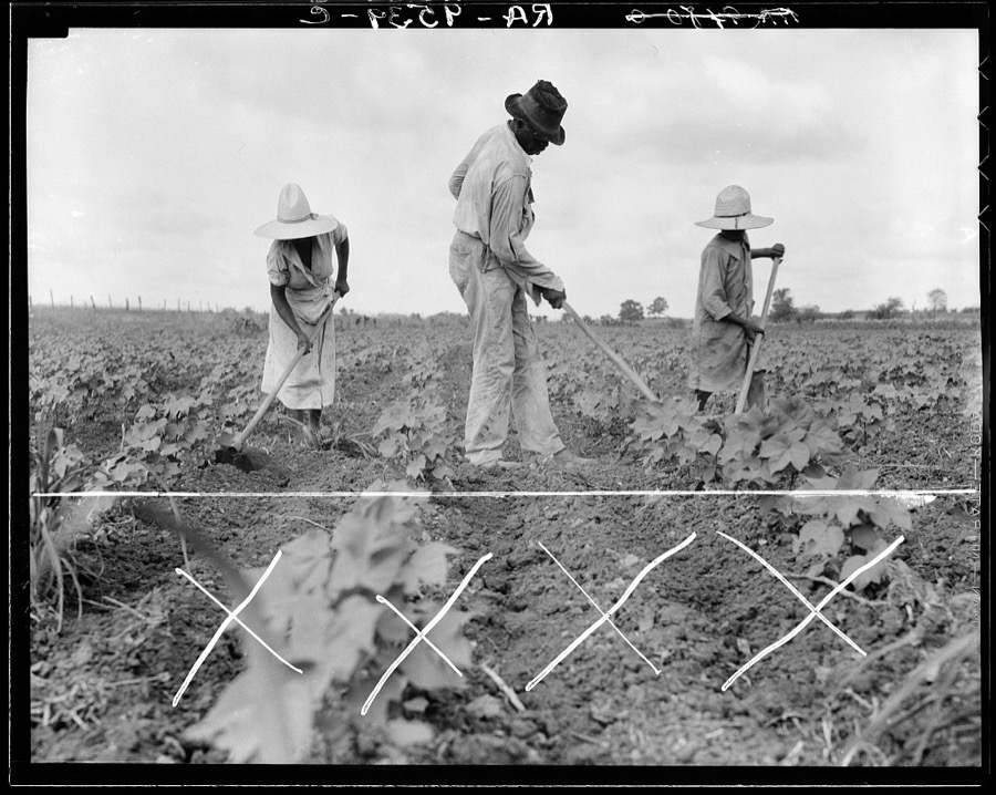
Lange, Dorothea, photographer, 1936. Library of Congress
Every photograph of Greene County
Fires near this place
74 since 1994Regional context, not property-specific evidence. The federal wildfire occurrence database lists 74 fires within 5 miles of Eutaw between 1994 and 2020, burning about 891 acres in total. 4 started naturally. 11 were recorded as arson. Distance is straight-line from the map coordinates, so a fire counted here may appear on a neighbouring settlement's page as well.
| Reported cause | Fires |
|---|---|
| Debris and open burning | 19 |
| Missing data/not specified/undetermined | 18 |
| Arson/incendiarism | 11 |
| Equipment and vehicle use | 9 |
| Smoking | 8 |
| Natural | 4 |
| Misuse of fire by a minor | 2 |
| Railroad operations and maintenance | 2 |
| Recreation and ceremony | 1 |
The most recent of them, most recent first, with the day each was reported and the service that recorded it.
| Date | Cause | Size | Reported by | Name on the report |
|---|---|---|---|---|
| 7 September 1994 | Smoking | under an acre | Alabama Forestry Commission | not named |
| 6 September 1995 | Smoking | under an acre | Alabama Forestry Commission | not named |
| 4 September 1997 | Smoking | 1.0 acres | Alabama Forestry Commission | not named |
| 3 September 1995 | Debris and open burning | under an acre | Alabama Forestry Commission | not named |
| 25 September 2015 | Debris and open burning | 1.0 acres | Alabama Forestry Commission | NWR-20150925-003 |
| 23 September 2006 | Arson/incendiarism | 1.0 acres | Alabama Forestry Commission | not named |
| 2 September 2000 | Natural | 2.0 acres | Alabama Forestry Commission | not named |
| 13 September 2011 | Equipment and vehicle use | under an acre | Alabama Forestry Commission | CR 43, AL |
Settlements close enough to share some of these fires:
Storms near this place
34 since 1996Regional context, not property-specific evidence. The National Weather Service names Eutaw in 34 storm reports between 1996 and 2025: 21 thunderstorm wind, 7 hail, 4 tornado, 1 funnel cloud. No death or injury is recorded in these reports. Each account below is quoted exactly as the forecast office filed it, from the NOAA Storm Events Database, and each date opens the federal record of that event.
| When | Event | Place named | Harm | What the report says |
|---|---|---|---|---|
| March 2008 | Tornado (EF1) | Eutaw | $150,000 | The tornado touched down near the intersection of US-11 and CR-135, just east of downtown Eutaw. From there, it moved northeastward, crossing CR-12, CR-131, AL-14, CR-170, and ultimately Interstate 20 near mile marker 43. The tornado lifted before reaching CR-167. One home was destroyed, four homes received major damage, and at least twenty more received at least minor damage. Several hundred trees were either snapped off or blown down along the path. |
| May 2003 | Hail | Eutaw | $70,000 | Penny to golf ball size hail was reported from several areas around Eutaw. This was the second hail storm within 30 minutes to affect Greene County. |
| April 1996 | Hail | Eutaw | $10,000 | no account filed |
| August 2010 | Thunderstorm Wind | Eutaw | $6,000 | Trees were knocked down along and across Interstate 20 and 59, Highway 14, County Road 131 and Highway 20. |
| March 2006 | Thunderstorm Wind | Eutaw | $5,000 | A few trees and power lines were downed near Eutaw. |
| July 2001 | Thunderstorm Wind | Eutaw | $5,000 | A microburst produced damage to one-third of the roof of a house. The damaging wind also knocked several large limbs down. |
| February 1999 | Thunderstorm Wind | Eutaw | $5,000 | Several trees and power lines were reported down between Mantua and South Union in northeast Greene County. |
| December 1996 | Hail | Eutaw | $5,000 | no account filed |
| May 2001 | Thunderstorm Wind | Eutaw | $4,000 | A few trees and power lines were blown down in Eutaw. |
| April 2005 | Thunderstorm Wind | Eutaw | $3,000 | no account filed |
| December 2009 | Thunderstorm Wind | Eutaw | $2,000 | A few trees and power lines were blown down in and around the city of Eutaw. |
| June 2009 | Thunderstorm Wind | Eutaw | $2,000 | A few trees and large branches were blown down in and around the city of Eutaw. |
| June 2008 | Thunderstorm Wind | Eutaw | $2,000 | Several trees were blown down on US-11 in Eutaw. |
| July 2008 | Thunderstorm Wind | Eutaw | $1,000 | A few trees were blown down on US-11, near Eutaw. |
| December 2004 | Thunderstorm Wind | Eutaw | $1,000 | A few trees were blown down along US 11 near Eutaw. |
| November 2000 | Thunderstorm Wind | Eutaw | $1,000 | A few trees were blown down on CR 163 near the Finches Ferry on the Warrior River. |
| April 2005 | Hail | Eutaw | $1,000 | no account filed |
| May 2025 | Thunderstorm Wind | Eutaw | - | A few trees were downed in the Springfield community north of Eutaw. |
| June 2023 | Thunderstorm Wind | Eutaw | - | Several trees uprooted in the city of Eutaw. One of the trees produced significant damage to a home. |
| January 2023 | Tornado (EF1) | Eutaw | - | National Weather Service meteorologists surveyed damage in eastern Greene County and determined that it was consistent with an EF1 tornado, with maximum winds near 100 mph. This tornado began in the city of Eutaw just west of West End Avenue and moved across West End Avenue where it destroyed a shed, caused roof damage, and snapped and uprooted trees. The tornado continued to move into the northern portions of Eutaw where it snapped and uprooted numerous trees along with minor roof damage to several homes. Trees also fell on at least two homes causing significant damage to the homes. A rooftop observation deck was taken off of one home and thrown across the street off Ashby Drive. The tornado continued east-northeast and uprooted several trees along Highway 11. The tornado traveled over mostly marshy river bottom land before crossing the Black Warrior River and into Hale County. |
| April 2022 | Tornado (EF1) | Eutaw | - | National Weather Service meteorologists surveyed damage in far eastern Greene County and determined that it was consistent with an EF1 tornado, with maximum winds near 90 mph. The tornado touched down just southwest of the Branch Heights community on the south side of Eutaw. It tracked northeast across Joseph Wilder Circle causing minor roof and tree damage. It began to intensify as it moved northeastward, removing a portion of the roof of the housing authority building, and reached its maximum intensity as it moved along Levi Morrow Senior Court. At least 40 residences in the community suffered at least visible shingle damage, with a few residences suffering significant roof damage. The tornado continued northeast, causing roof damage to a business along Highway 43, and snapping and uprooting multiple trees in a park as it crossed Highway 14 and at the Finches Ferry Road. The tornado then crossed into Hale County near the dead end of Finches Ferry Road. |
| November 2022 | Tornado (EF1) | Eutaw | - | National Weather Service meteorologists surveyed damage in eastern Greene County and determined that it was consistent with an EF1 tornado, with maximum winds near 110 mph. The tornado touched down in an inaccessible area west of Eutaw shortly before crossing Greene County Road 131 where it impacted the Sagewood Apartment complex. The most significant damage here was to the northernmost unit where the majority of the roof structure was peeled away and blown into the nearby tree line. Adjacent units only showed minor damage to shingles and to siding. Nearby timber damage was also not particularly intense, though there was a variety of sporadic uprooted and snapped tree trunks. Timber and powerline damage in this area was consistent with low-end EF-1. The tornado continued east-northeast toward Highway 14 where additional timber and power line damage was observed. Several homes sustained minor roof damage on Kirkwood Lane or were more significantly damaged by uprooted trees. The tornado crossed US Highway 11 causing additional tree damage. The tornado continued northeast towards the Black Warrior River where the path became inaccessible. The tornado crossed the Black Warrior and continued into Hale County. |
| May 2021 | Thunderstorm Wind | Eutaw | - | Several trees uprooted along County Road 14 near Eutaw. |
| April 2020 | Thunderstorm Wind | Eutaw | - | Several trees uprooted along Highway 11 in the town of Eutaw. |
| June 2020 | Thunderstorm Wind | Eutaw | - | Several trees uprooted around the town of Eutaw. |
| May 2018 | Flash Flood | Eutaw | - | Serious flooding along Highway 43 in the southern portions of the city of Eutaw. Evacuations were required at the Sanders-Black Apartment Complex and flooding also reported at the Greene County Headstart building and at a subdivision next to the apartment complex. |
| March 2013 | Thunderstorm Wind | Eutaw | - | Trees were reported down throughout the city of Eutaw. One tree fell on a house and another tree fell on a vehicle. |
| June 2013 | Thunderstorm Wind | Eutaw | - | Trees were uprooted near Eutaw. |
| June 2013 | Thunderstorm Wind | Eutaw | - | Numerous trees were uprooted across Green County, including along Interstate 20/59 near exit 40. |
| September 2012 | Thunderstorm Wind | Eutaw | - | Trees were reported down along Highway 7, just northeast of Eutaw. |
| March 2005 | Hail | Eutaw | - | Nickel size hail was observed in and around the city of Eutaw. |
| March 2005 | Hail | Eutaw | - | Penny size hail was observed near Eutaw. |
| April 2003 | Hail | Eutaw | - | The second supercell of the day developed across western Greene County and became severe as it neared Eutaw. The storm began producing penny size hail as it approached Eutaw and produced hail all the way to the Black Warrior River. A few trees were also blown down. |
| November 2000 | Funnel Cloud | Eutaw | - | A funnel cloud was reported near Eutaw by police. |
Nearest settlements
The eight closest, with where each one stands in the county. Distances are straight-line, computed from the Geographic Names Information System coordinates.
| Map | Place | Distance | Sheets |
|---|---|---|---|
| Gosa | 1.4 miles | 14 | |
| McClure | 2.4 miles | 14 | |
| Allison | 6.0 miles | 15 | |
| Walden Quarters | 6.6 miles | 11 | |
| Clinton | 7.5 miles | 14 | |
| Lizzieville | 8.3 miles | 9 | |
| Crawford Fork | 9.0 miles | 9 | |
| Five Points | 9.4 miles | 13 |
Elsewhere
Matched on this settlement's Geographic Names Information System number rather than its name, so it cannot be a different place of the same name in another state.
| Wikipedia article on Eutaw | An encyclopaedic summary. Its text is share-alike, so it is linked here rather than copied. |
| Wikidata item Q79214 | The structured record the population and elevation above come from. Public domain (CC0). |
Provenance
This settlement is recorded in the Geographic Names Information System as feature 118059. The sheet list is computed by point-in-boundary test against the United States Geological Survey's historical topographic inventory. Both are works of the United States government and carry no copyright under 17 U.S.C. 105.
Wildfire. Short, Karen C. 2022. Spatial wildfire occurrence data for the United States, 1992-2020 [FPA_FOD_20221014]. 6th Edition. Fort Collins, CO: Forest Service Research Data Archive. https://doi.org/10.2737/RDS-2013-0009.6 Collected with United States Government funding and usable without additional permissions or fees.
Storms. NOAA National Centers for Environmental Information, Storm Events Database https://www.ncei.noaa.gov/stormevents/ A work of the United States government, no copyright under 17 U.S.C. 105. Narratives are quoted verbatim from the National Weather Service report and are not edited or summarised.