 Block
From the record
36 National Register listings published here.
Sources: the National Register database, National Park Service
76 topographic sheets and 6 fire insurance atlases across 1 place.
36 National Register listings published here.
Sources: the National Register database, National Park Service
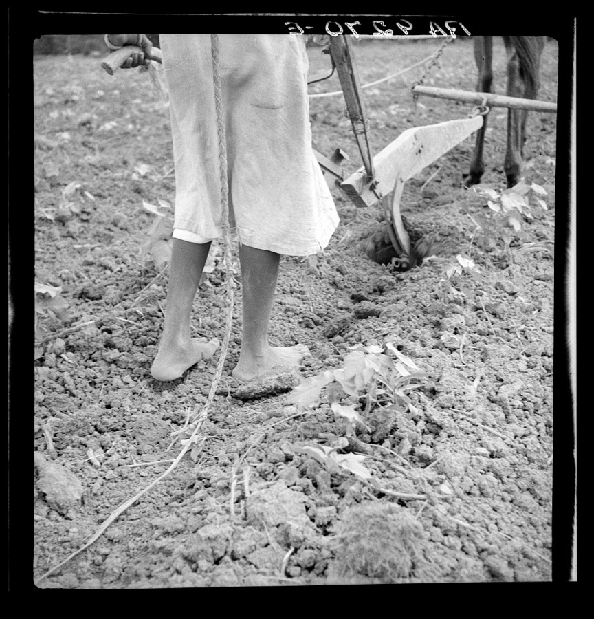
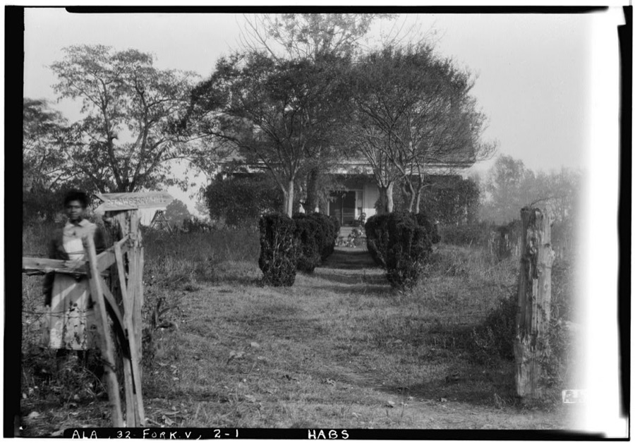
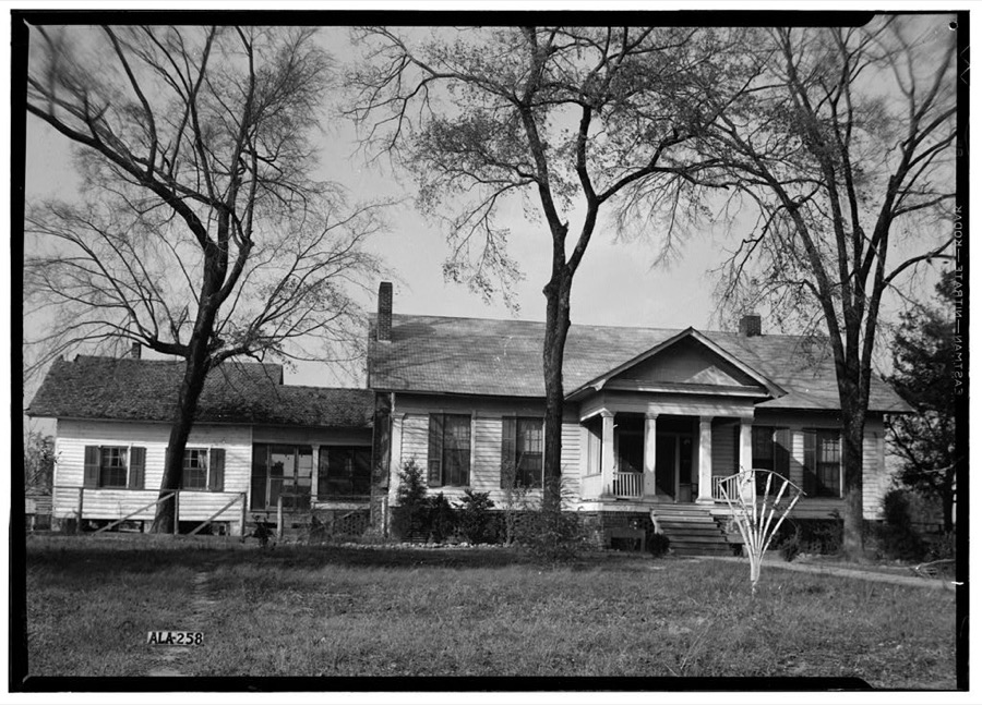
Taken for the Office of War Information and the Farm Security Administration, who photographed the country between 1935 and 1944. Works of United States government photographers, with no known restriction on use. Each opens its catalogue record.
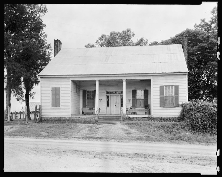

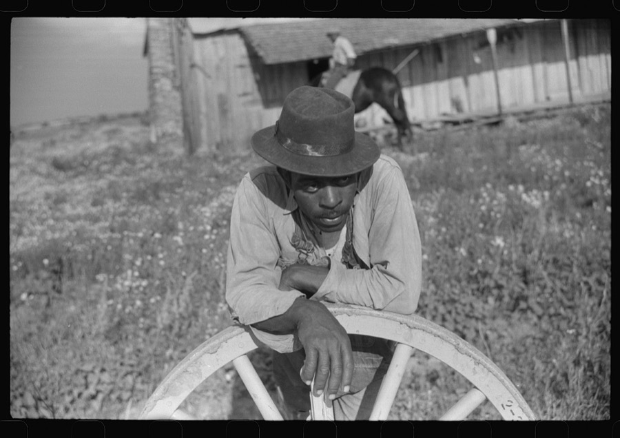
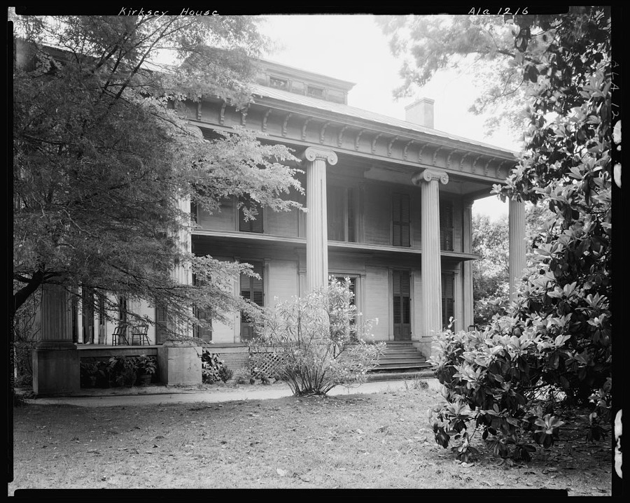
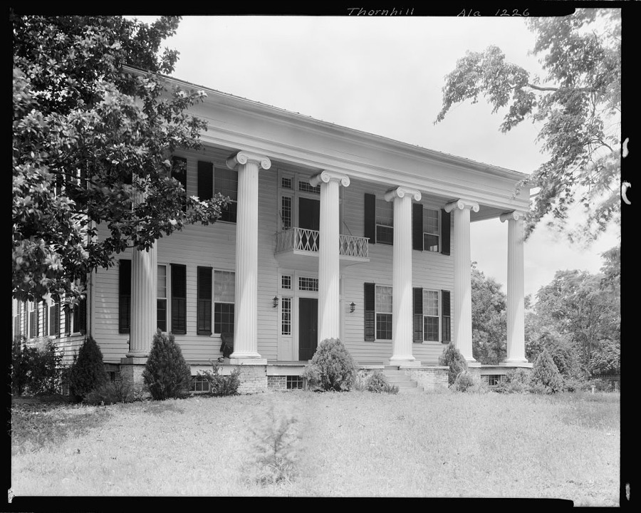

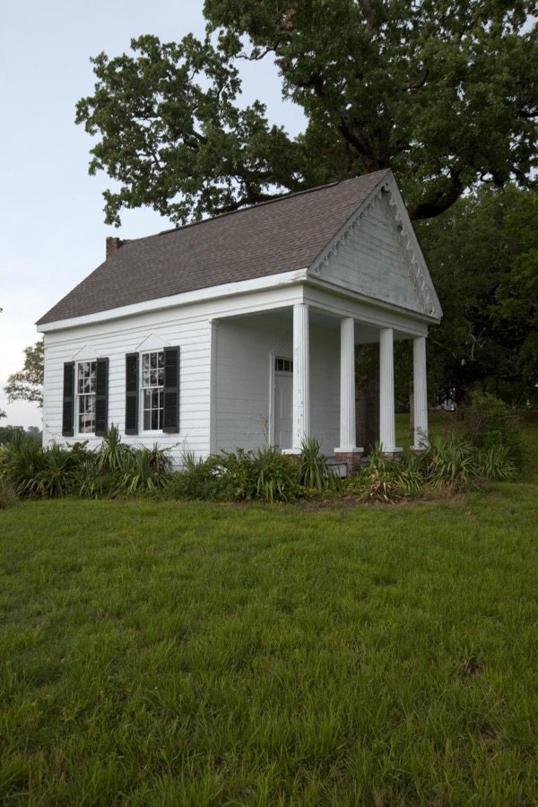
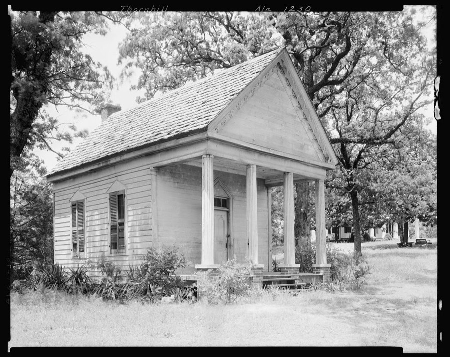
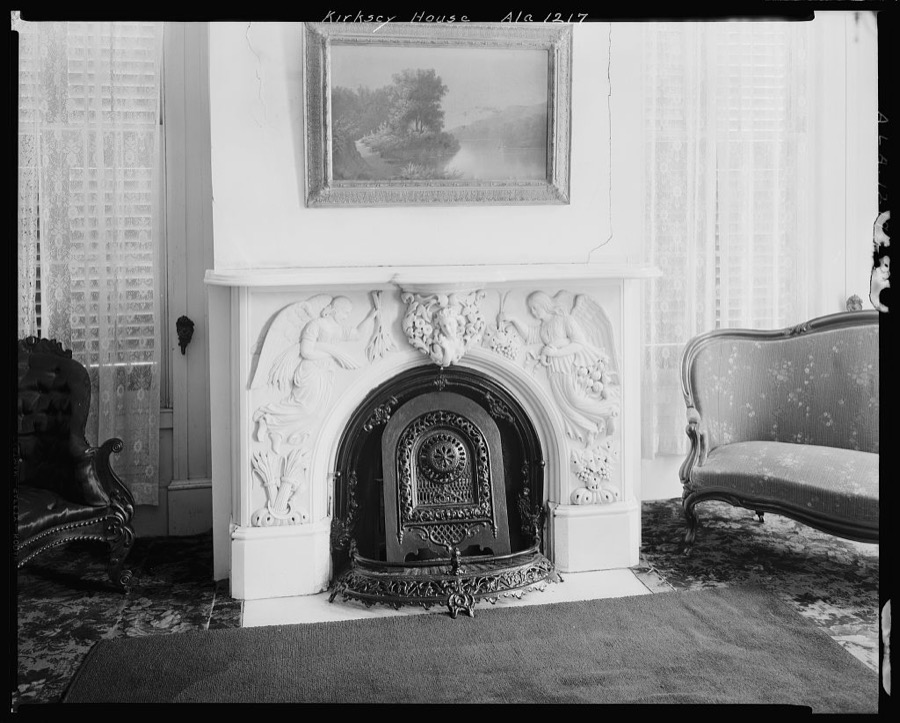
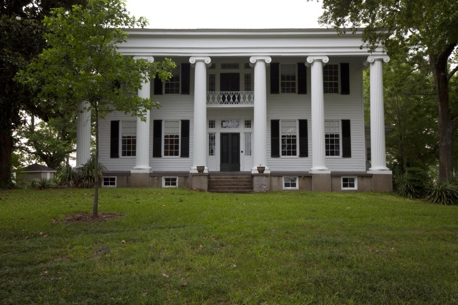
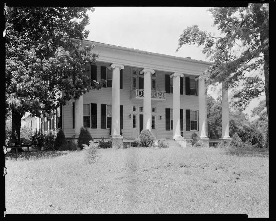
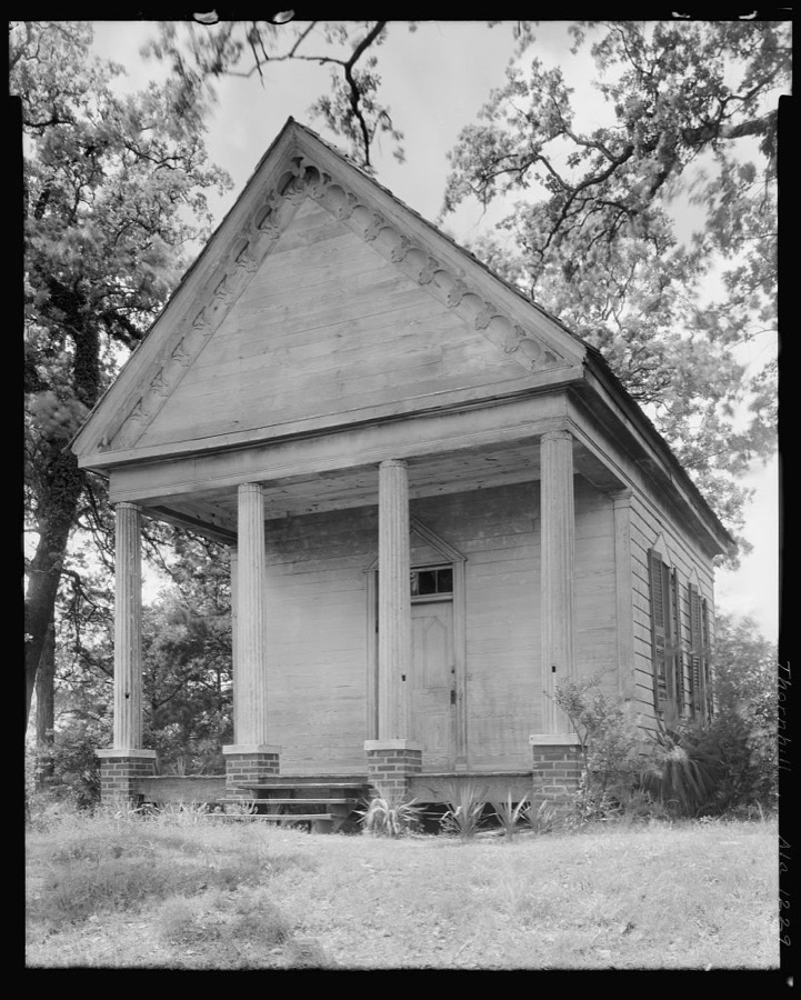
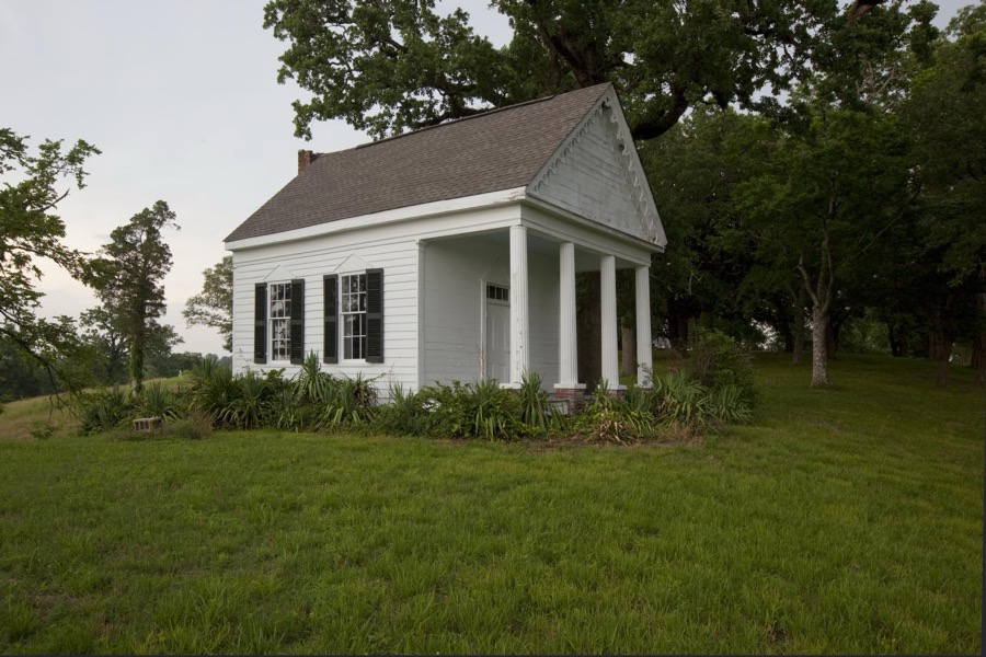
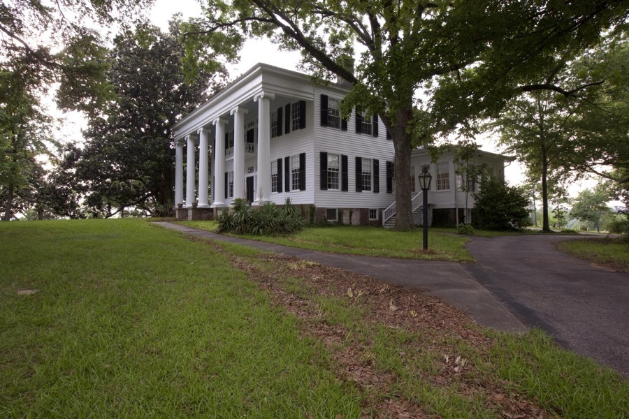

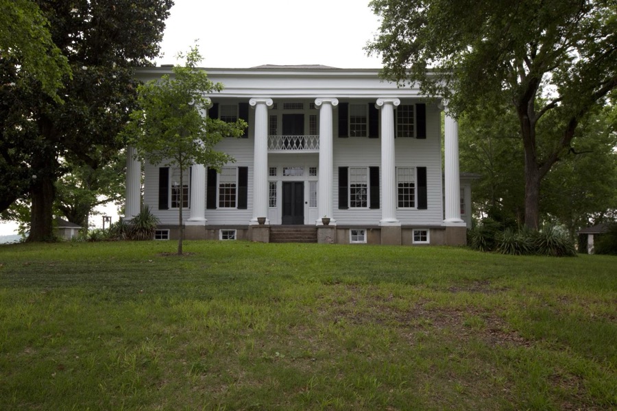
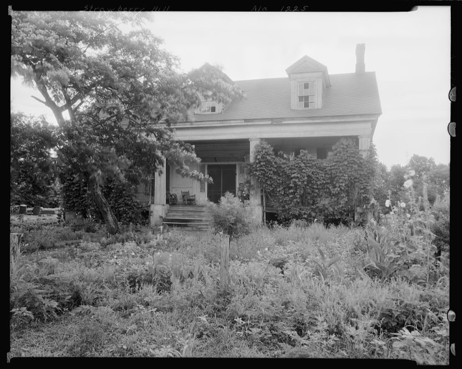
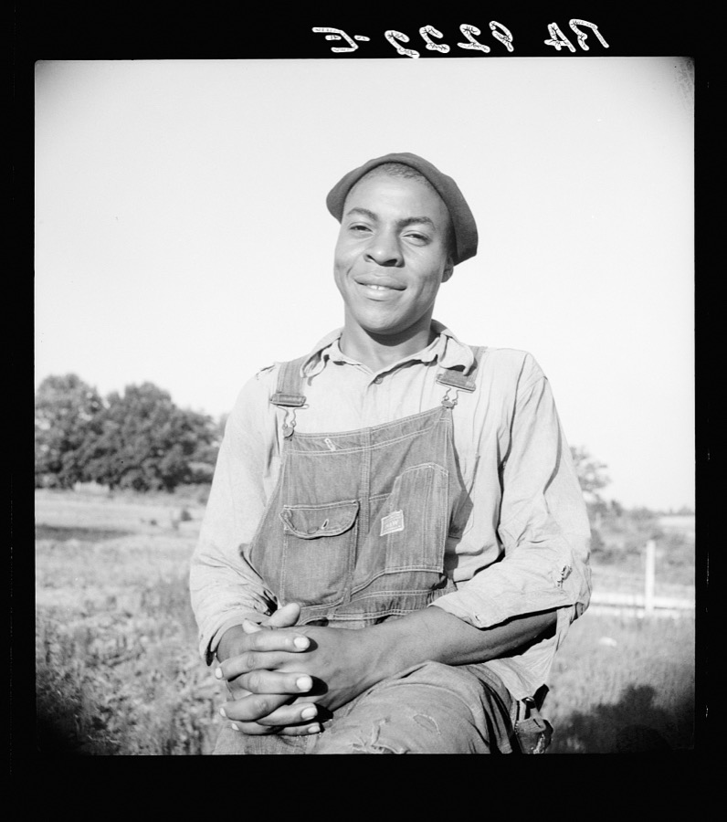
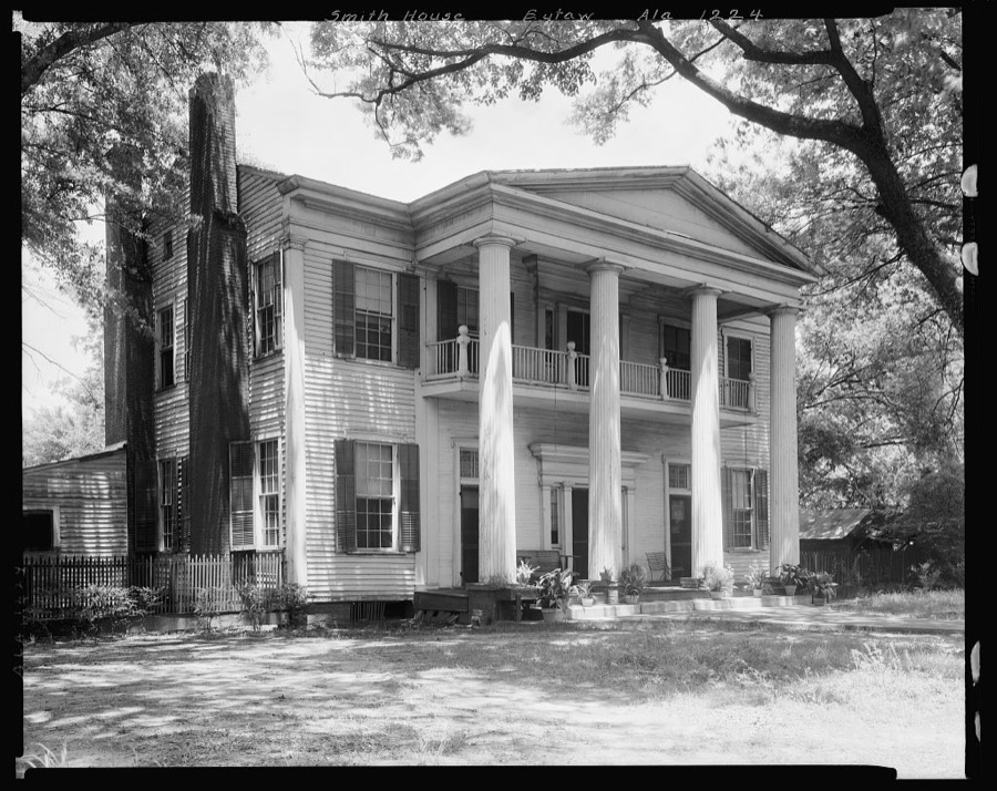
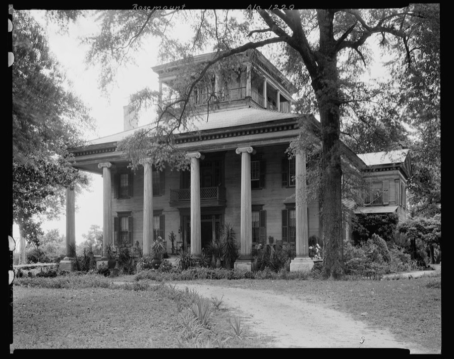
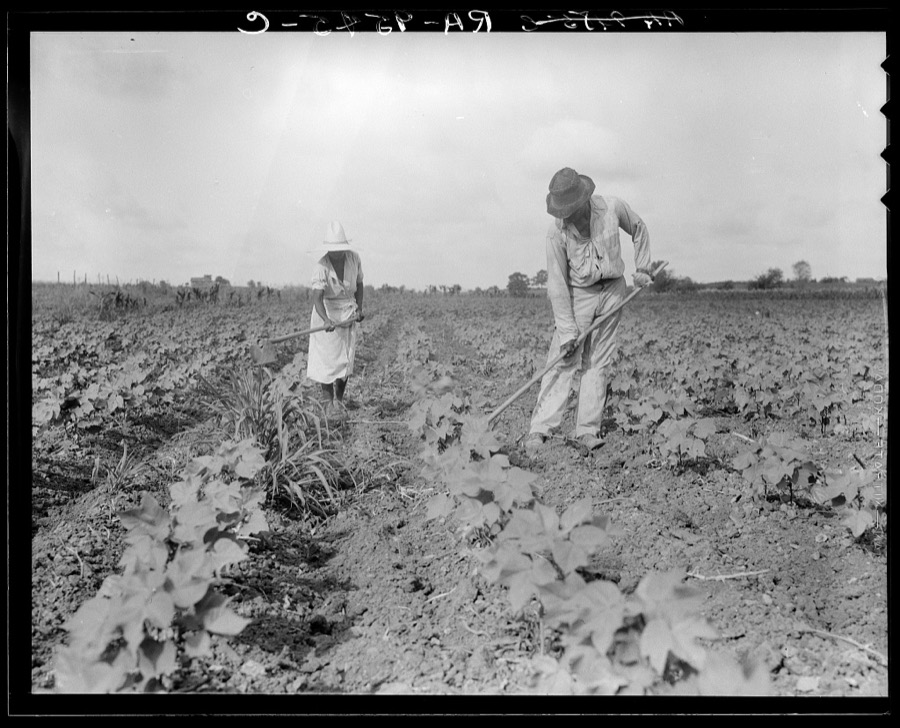
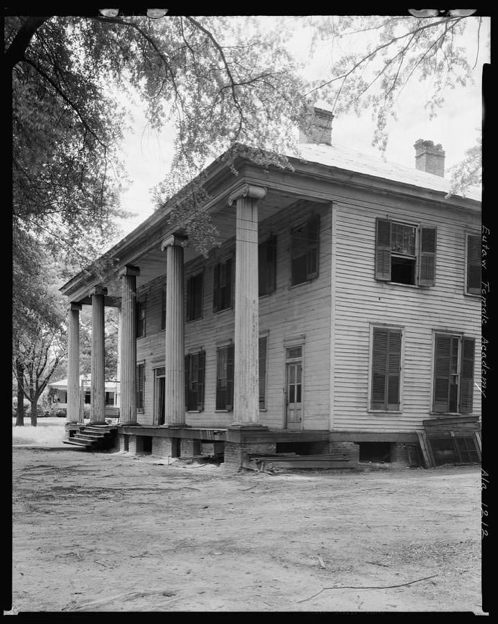
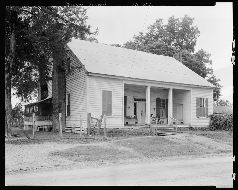
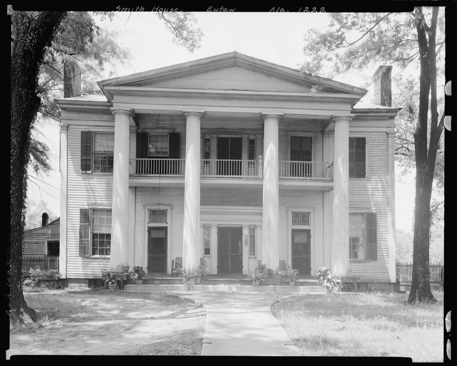
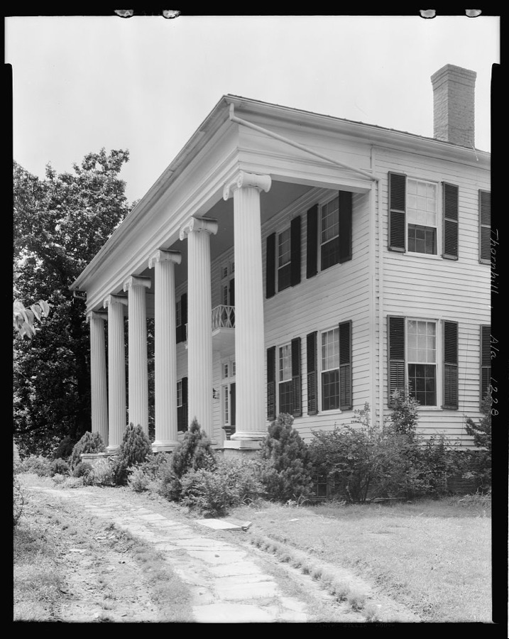
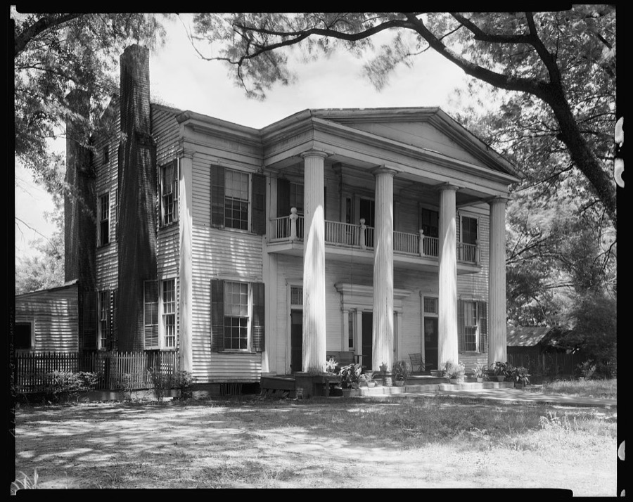
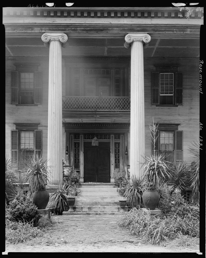

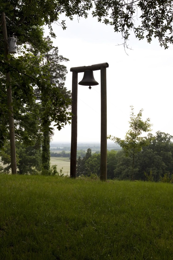
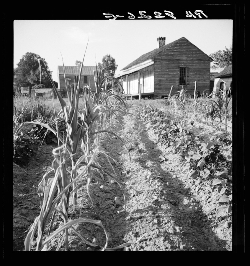
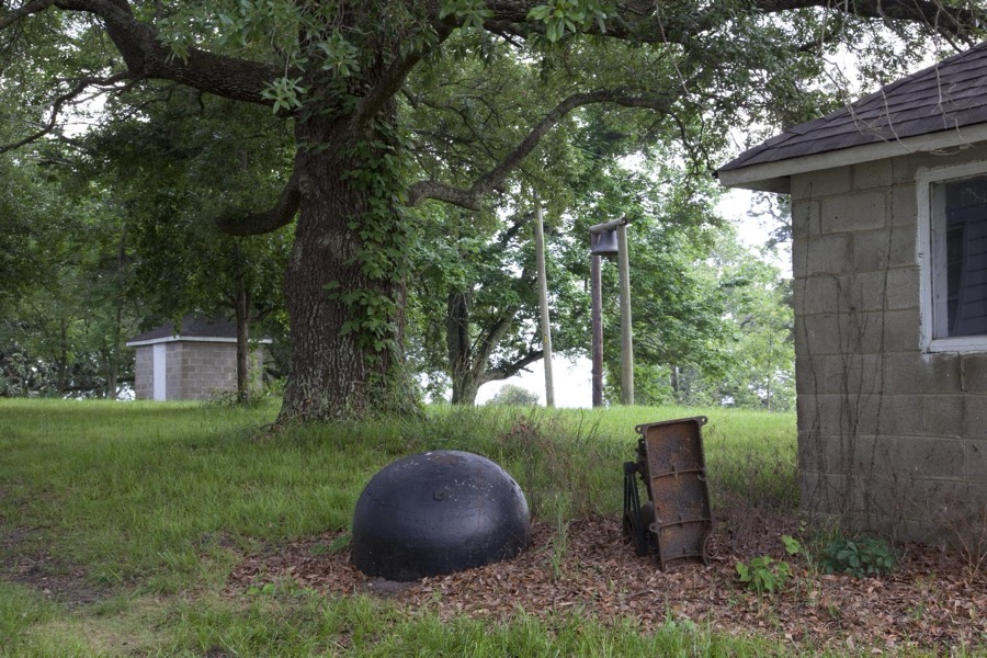
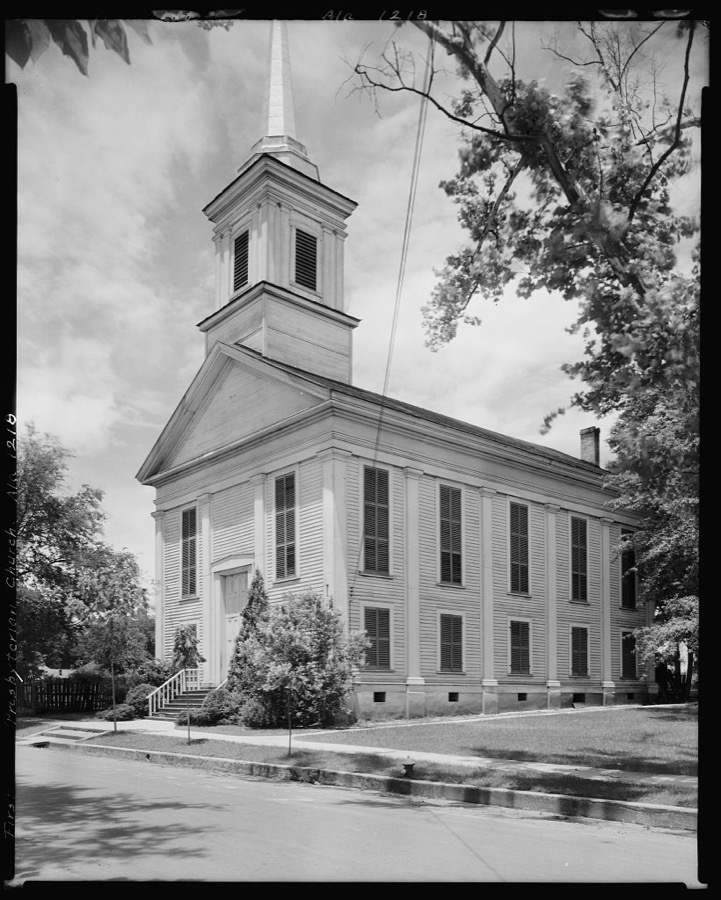
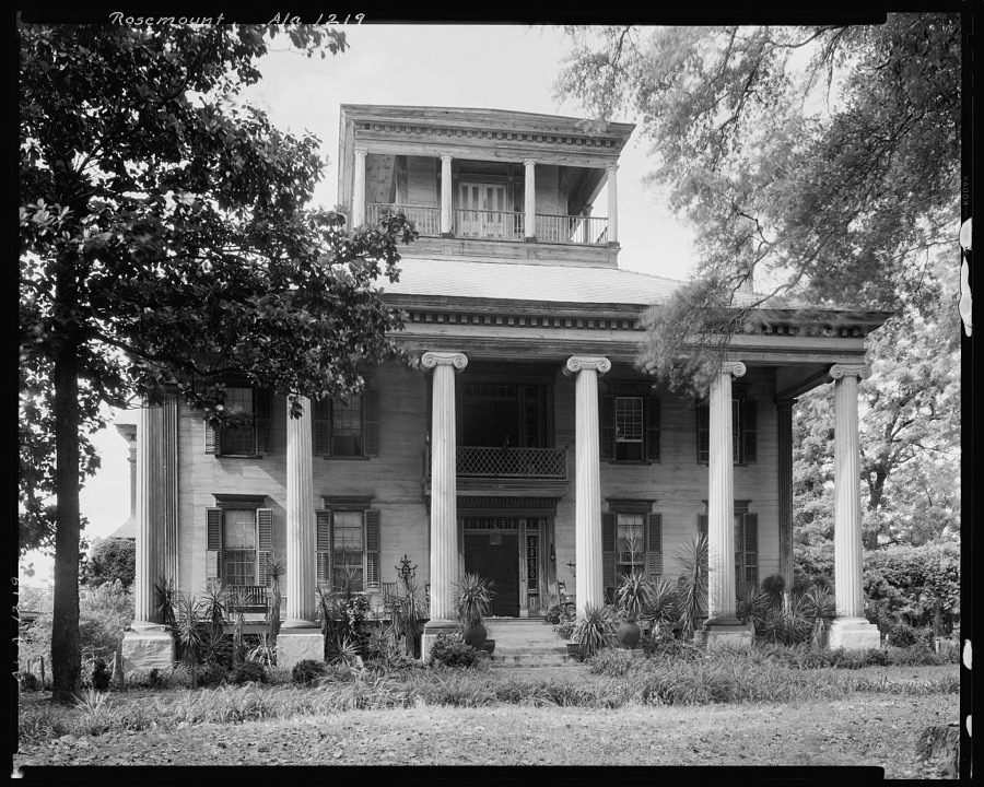
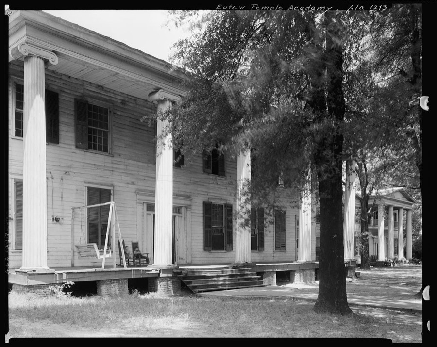
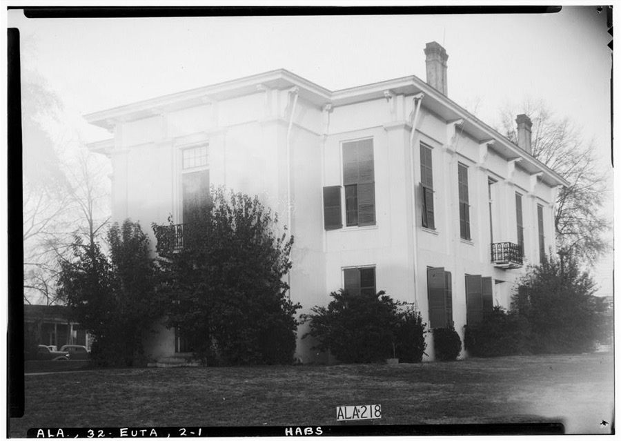
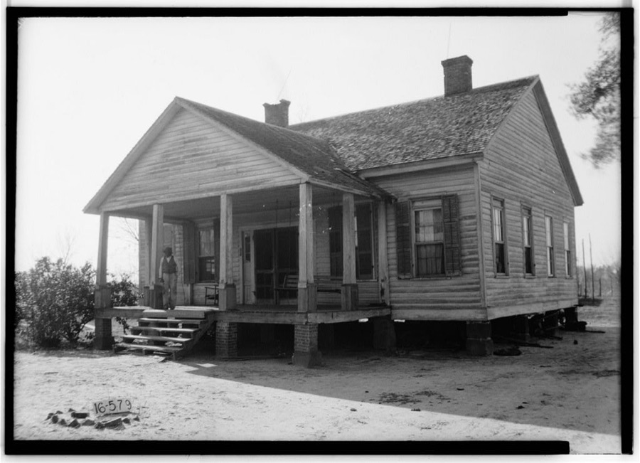
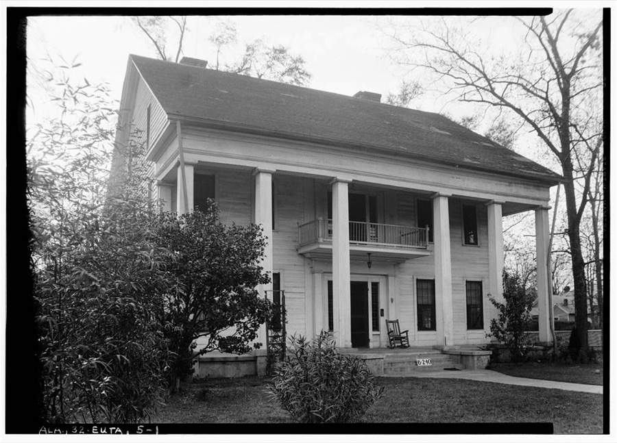
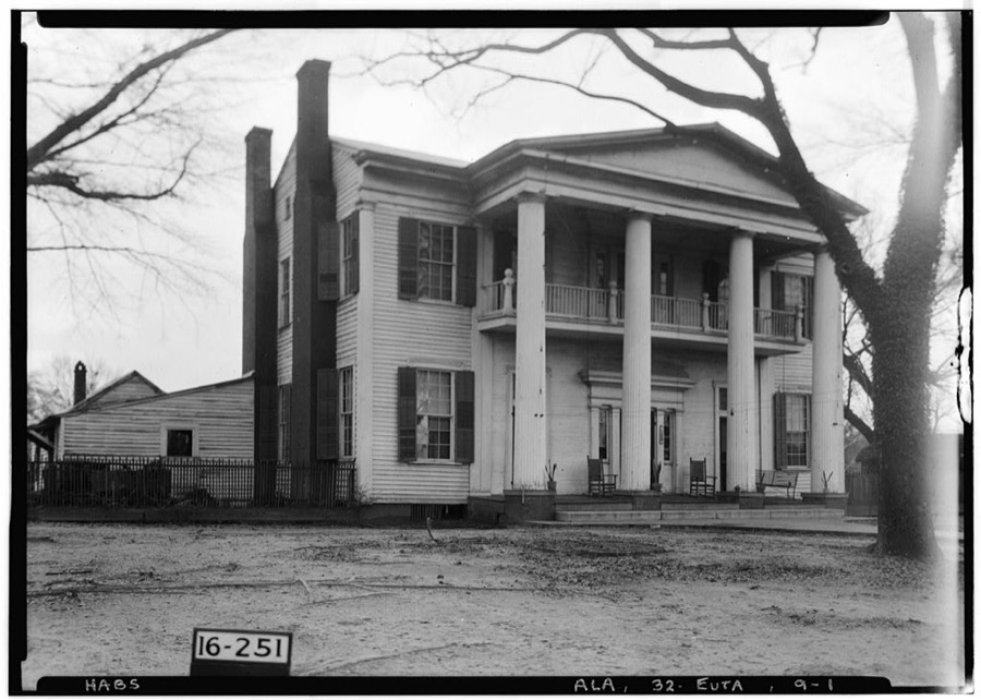
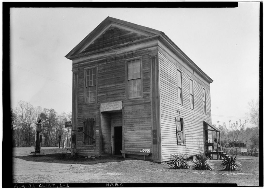
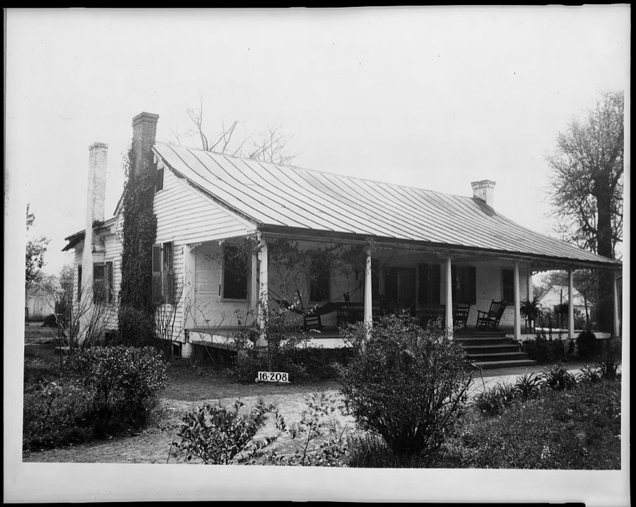
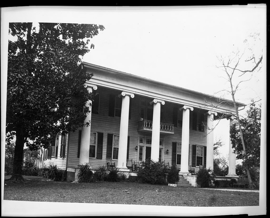
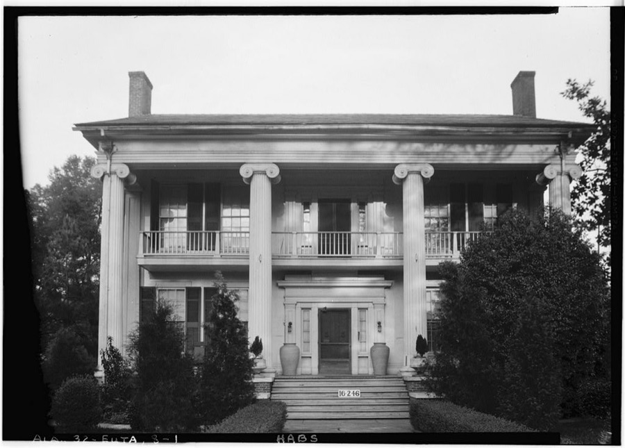
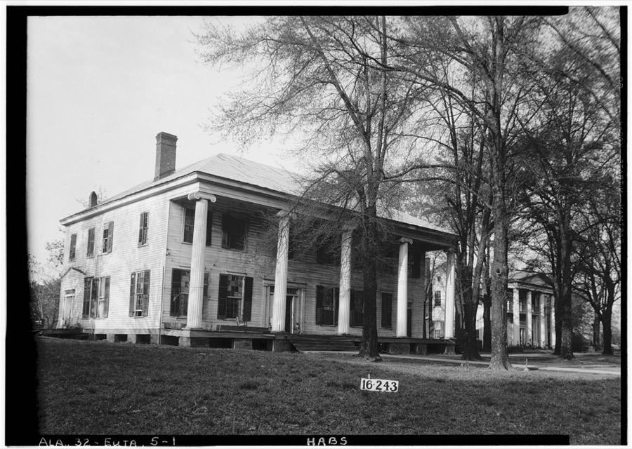
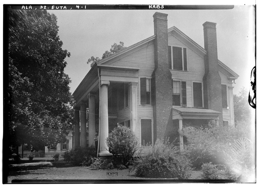
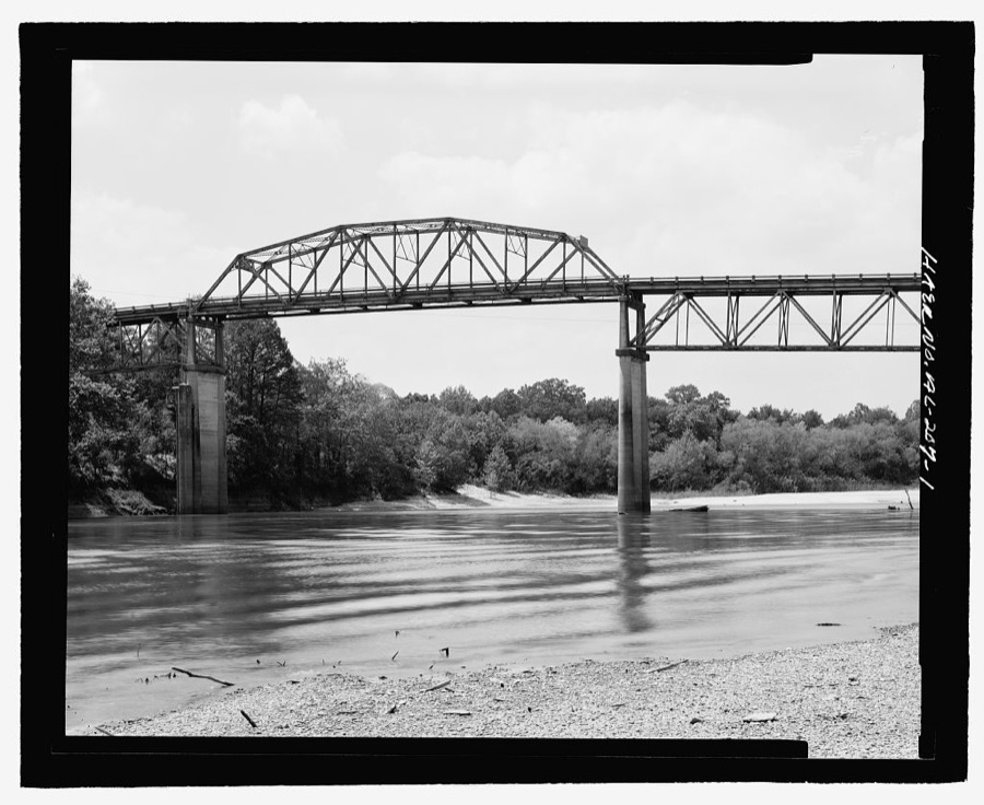
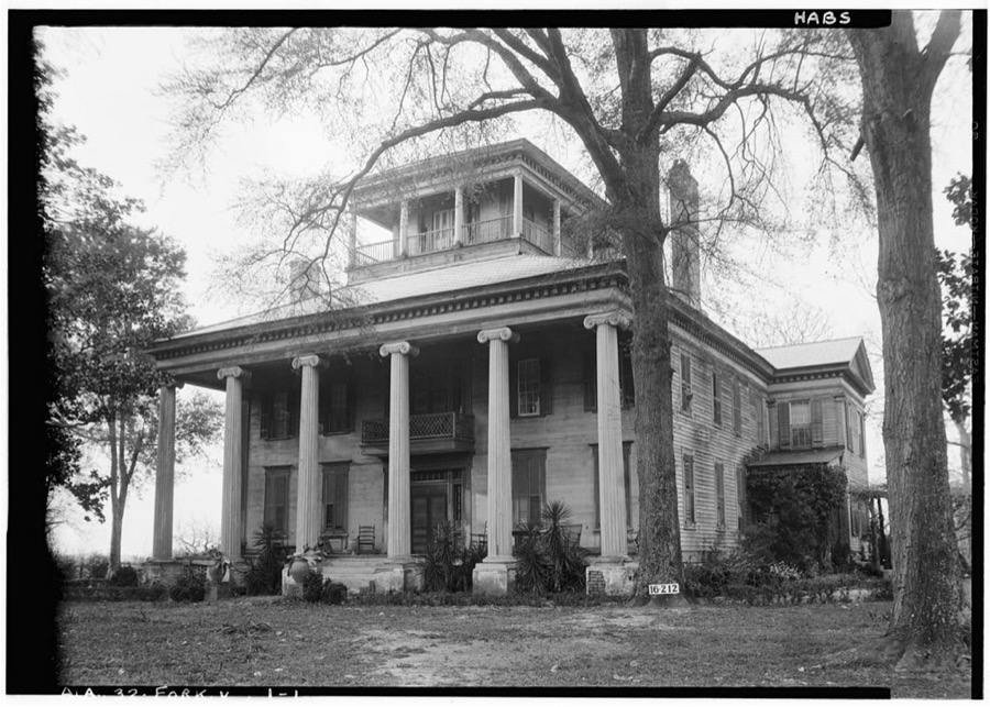
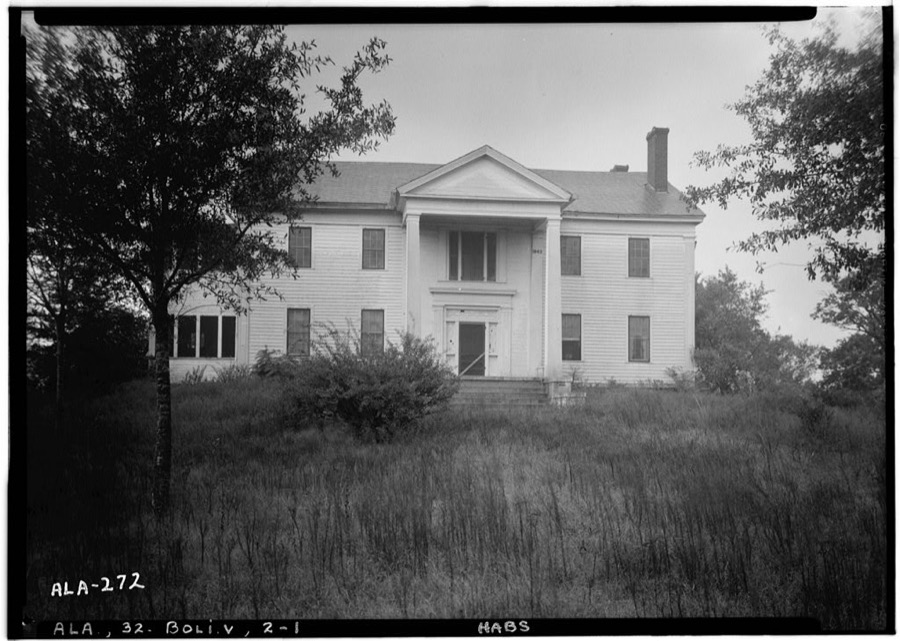
Every property in this county listed on the National Register of Historic Places, with the year it was listed and the federal nomination document.
| Photograph | Property | Type | Listed | Reference |
|---|---|---|---|---|
 | David Rinehart Anthony House | building | 1982 | 82002015 |
 | Basil Hall | building | 1982 | 82002028 |
 | Boligee Hill | building | 1982 | 82002014 |
 | Gustave Braune House | building | 1982 | 82002016 |
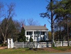 | Capt. Nathan Carpenter House | building | 1999 | 99000793 |
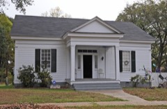 | Samuel W. Cockrell House | building | 1982 | 82001618 |
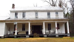 | John Coleman House | building | 1982 | 82001617 |
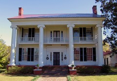 | Coleman-Banks House | building | 1970 | 70000102 |
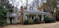 | Attoway R. Davis Home | building | 1982 | 82002017 |
| John W. Elliott House | building | 1982 | 82002018 | |
 | First Presbyterian Church | building | 1974 | 74000411 |
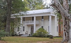 | Glenville | building | 1982 | 82002019 |
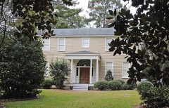 | Rev. John H. Gray House | building | 1982 | 82002020 |
 | Greene County Courthouse | building | 1971 | 71000098 |
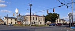 | Greene County Courthouse Square District | district | 1979 | 79000385 |
| Benjamin D. Gullett House | building | 1982 | 82002021 | |
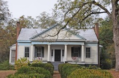 | Stephen Fowler Hale House | building | 1982 | 82002022 |
 | William C. Jones House | building | 1982 | 82002023 |
 | Kirkwood | building | 1976 | 76000327 |
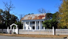 | Dr. Willis Meriwether House | building | 1982 | 82002024 |
| Samuel R. Murphy House | building | 1982 | 82002025 | |
 | William Perkins House | building | 1982 | 82002026 |
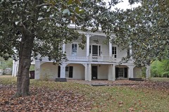 | William F. Pierce House | building | 1983 | 83003446 |
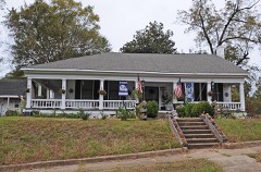 | Littleberry Pippen House | building | 1982 | 82002027 |
| Edwin Reese House | building | 1982 | 82002028 |
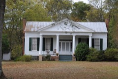 | William A. Rogers House | building | 1982 | 82002029 |
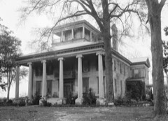 | Rosemount | building | 1971 | 71000099 |
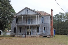 | Phillip Schoppert House | building | 1982 | 82002030 |
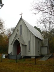 | St. John's-In-The-Prairie | building | 1975 | 75000313 |
 | Thornhill | building | 1984 | 84000618 |
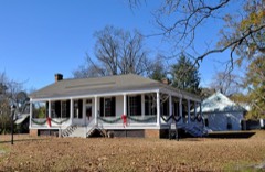 | Iredell P. Vaughan House | building | 1982 | 82002031 |
 | William Peter Webb House | building | 1982 | 82002032 |
 | Asa White House | building | 1982 | 82002033 |
 | William B. Wills House | building | 1983 | 83002969 |
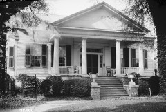 | Catlin Wilson House | building | 1982 | 82002034 |
 | Daniel R. Wright House | building | 1982 | 82002035 |
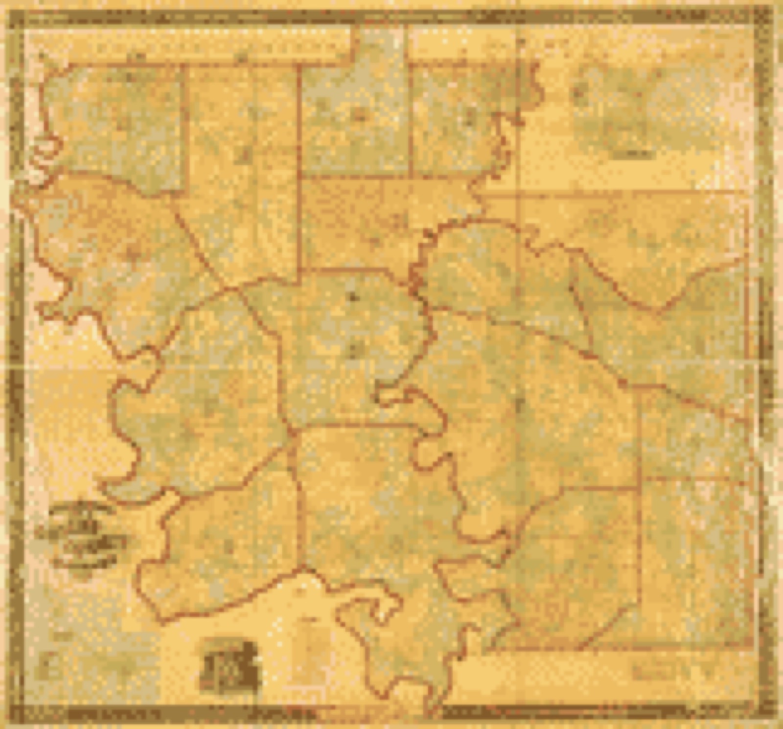
Drawn when these were printed as single large sheets: the town seen from the air, and the county divided into its farms with every owner named. Each opens the original at the Library of Congress.
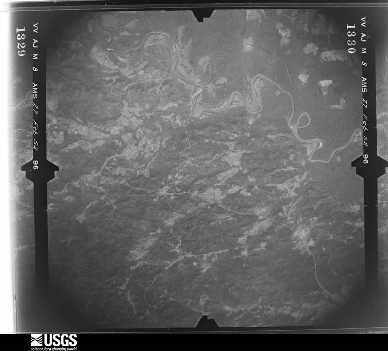
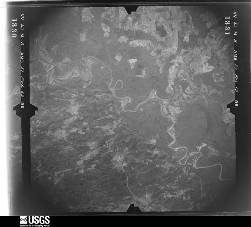
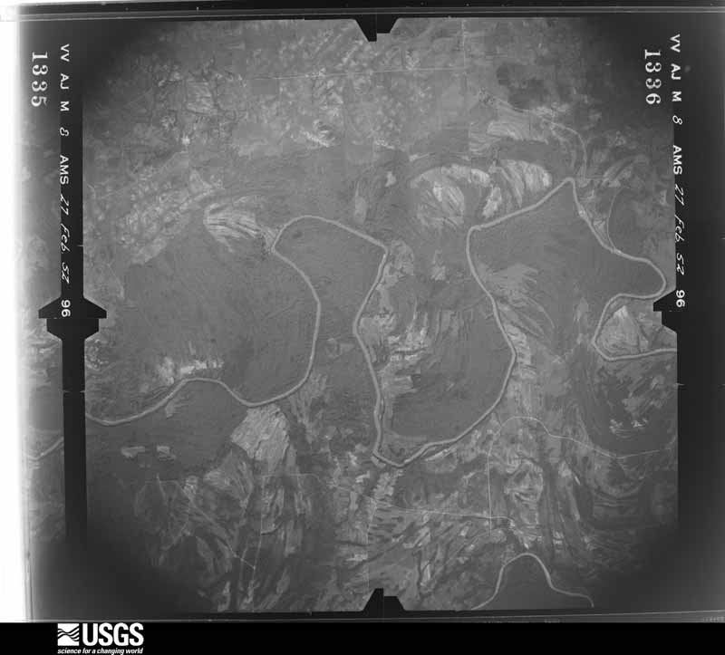
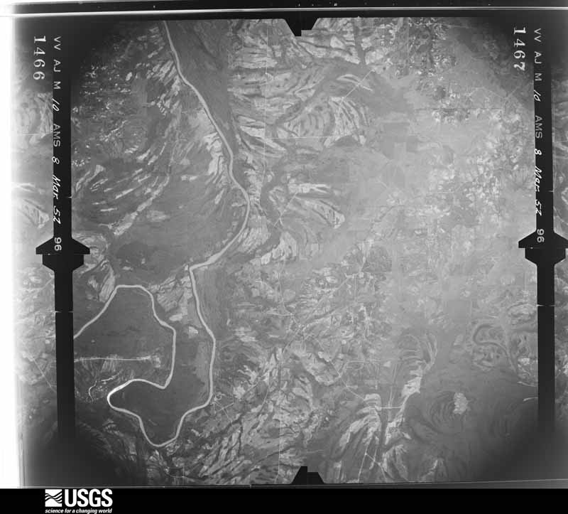
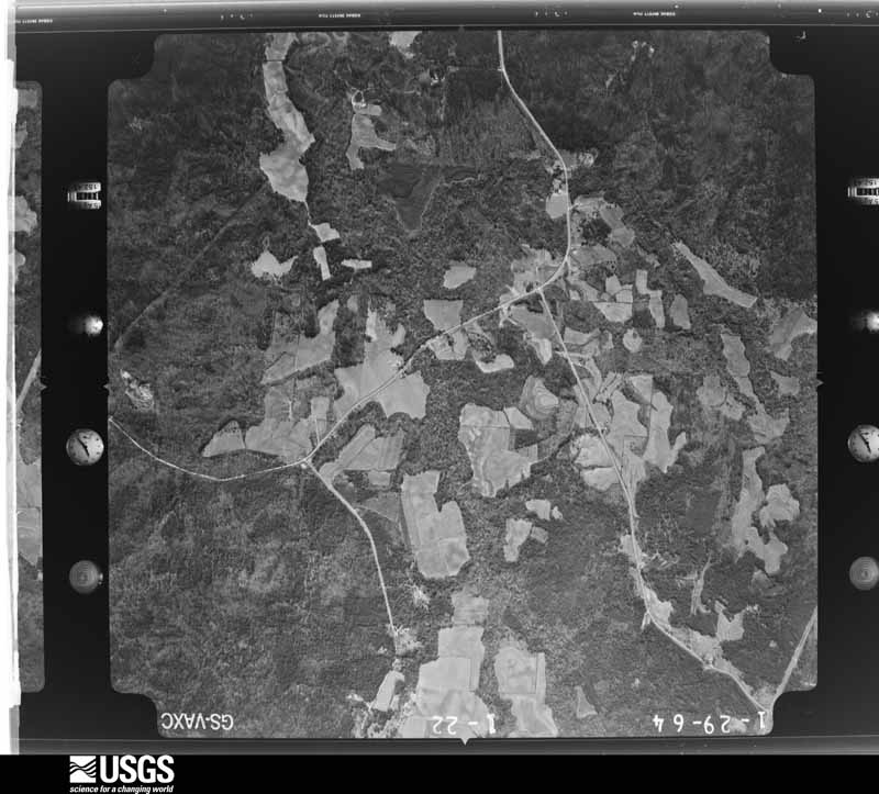
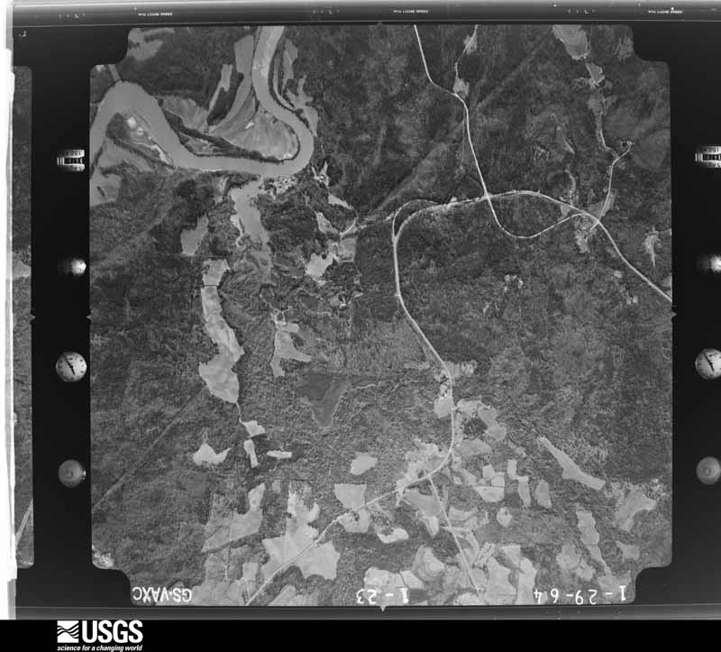
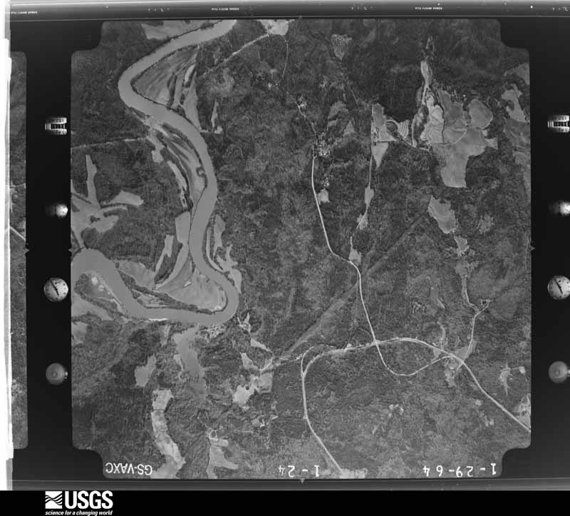
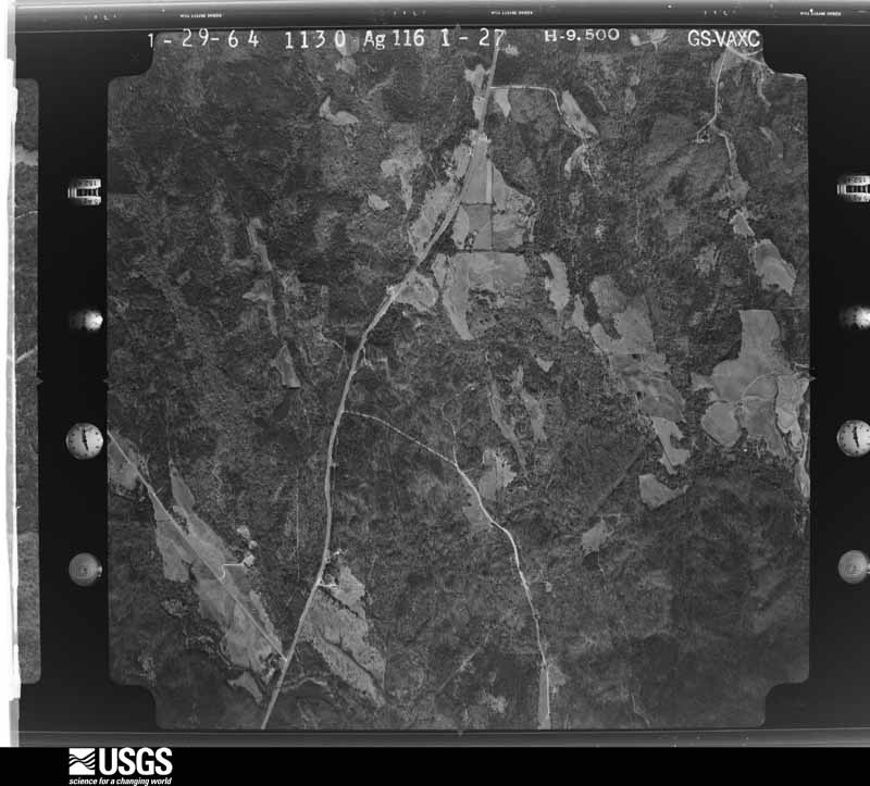
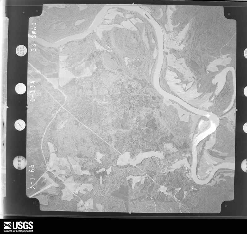
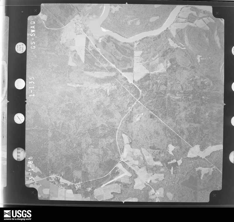
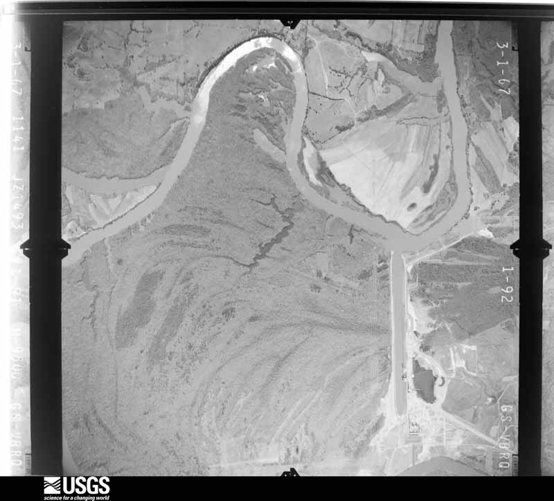
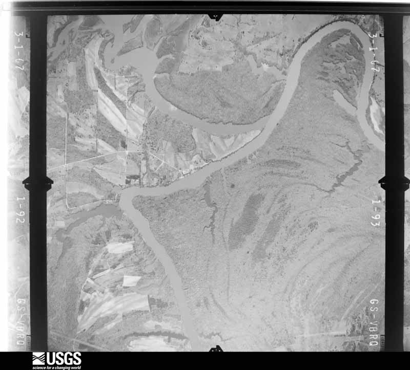
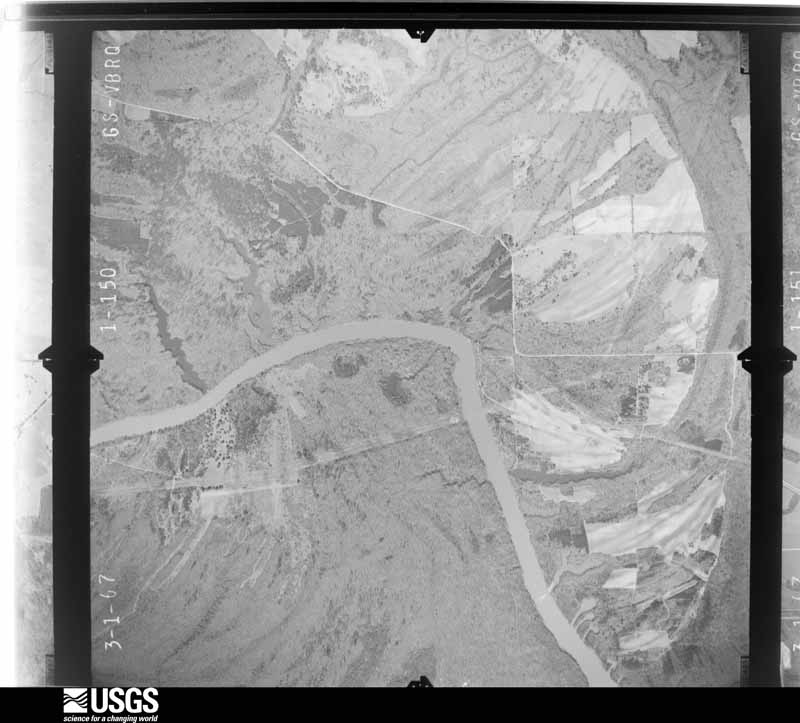
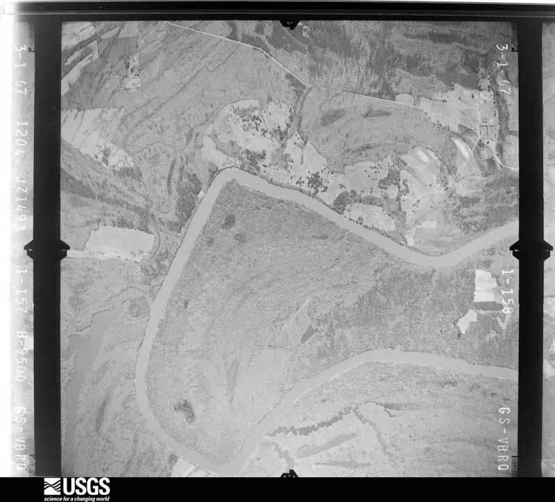
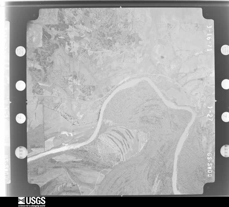
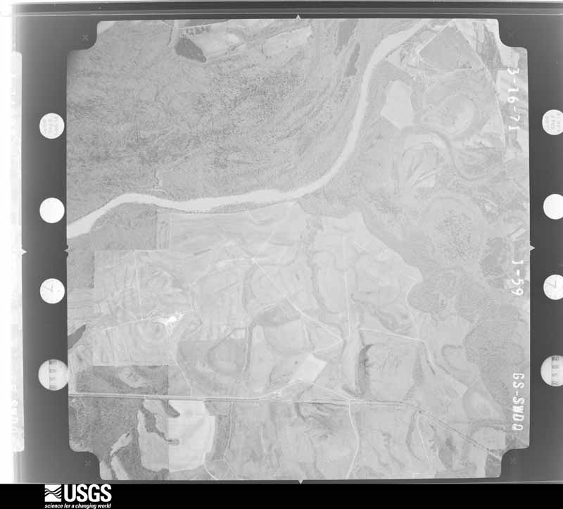
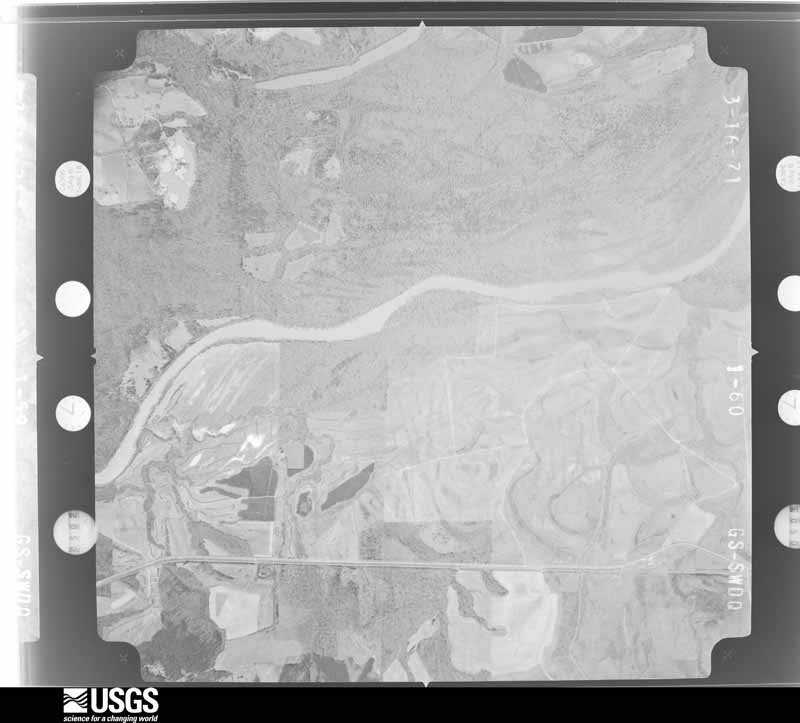
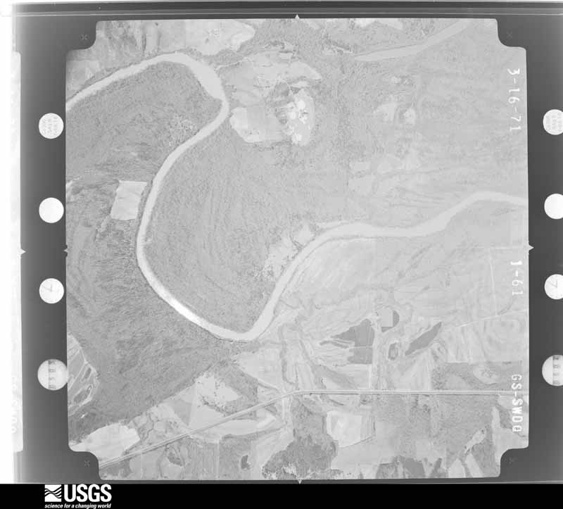
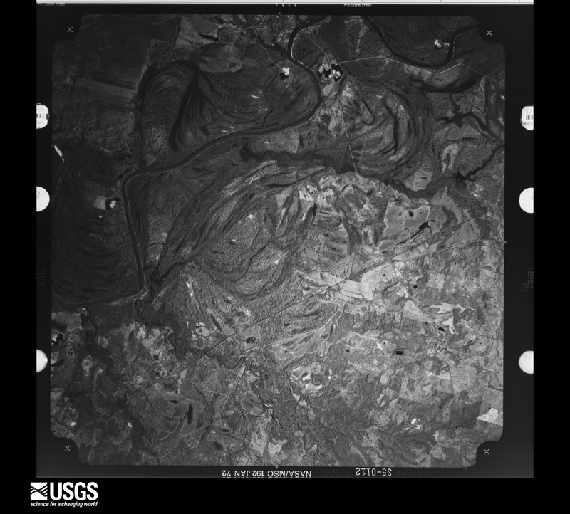
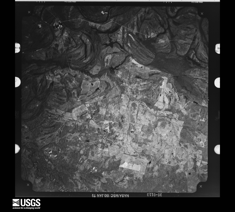
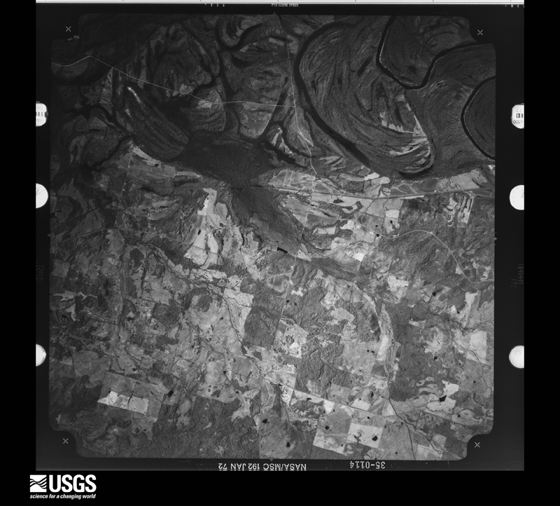
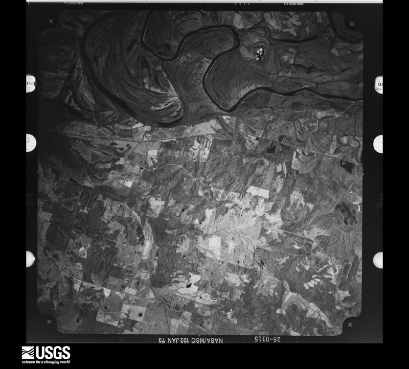
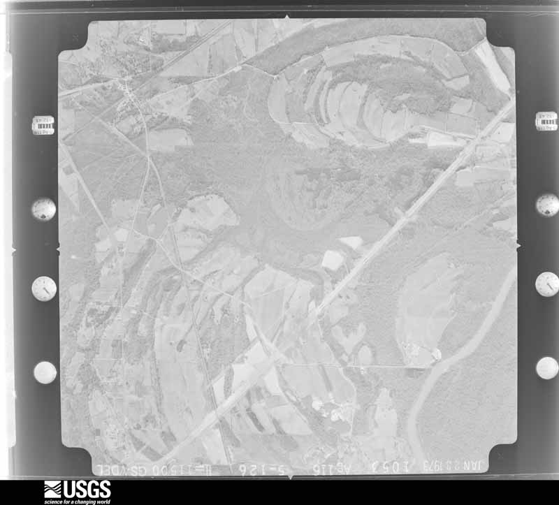
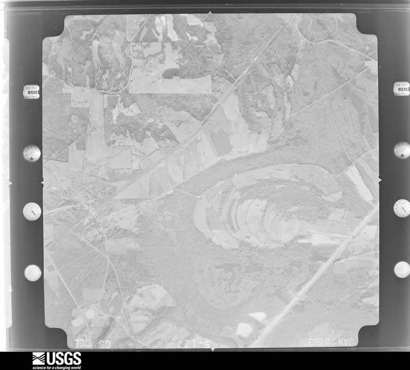
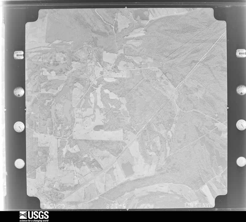
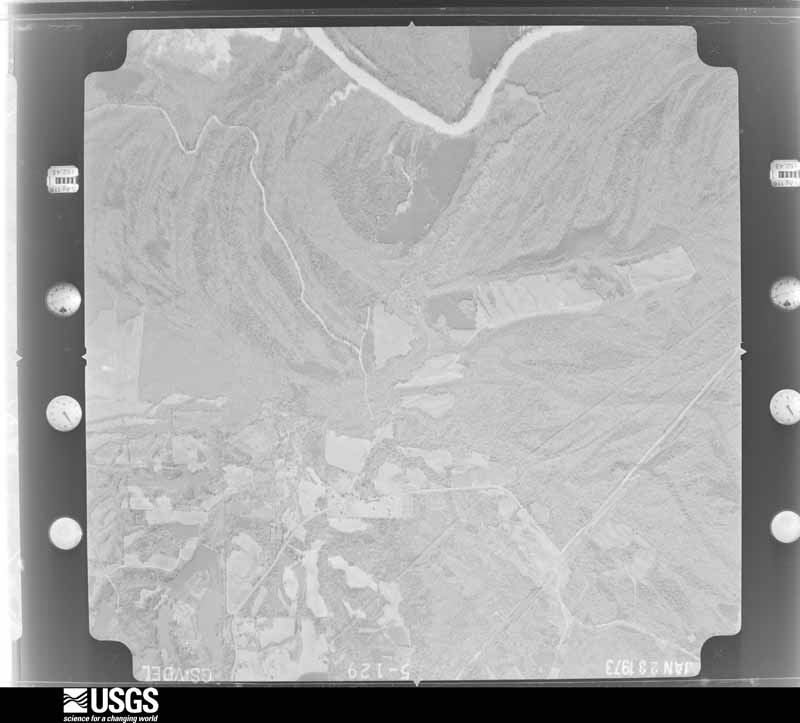
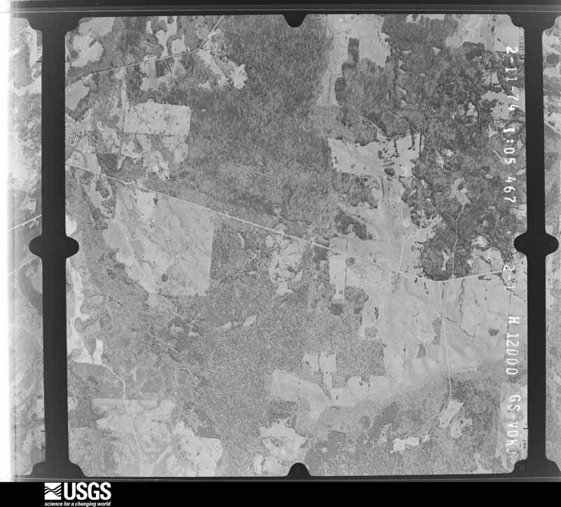
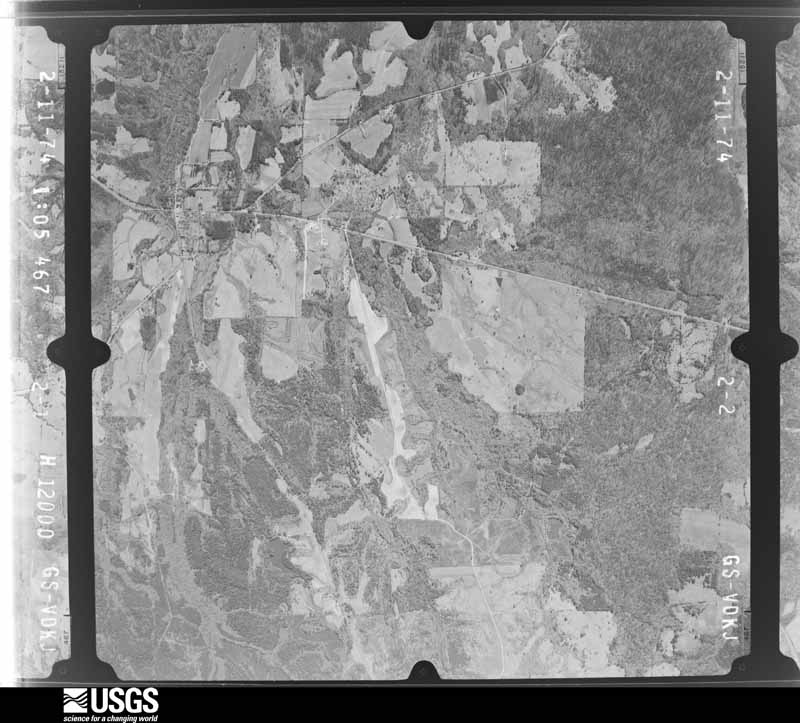
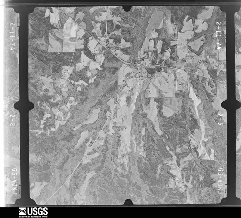
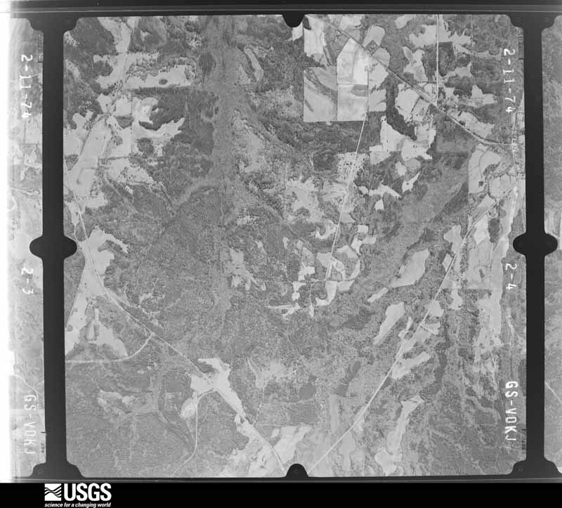
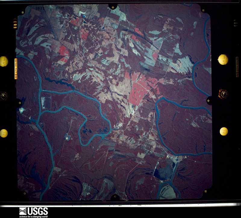
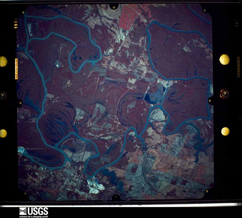
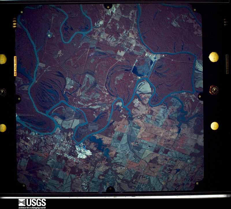
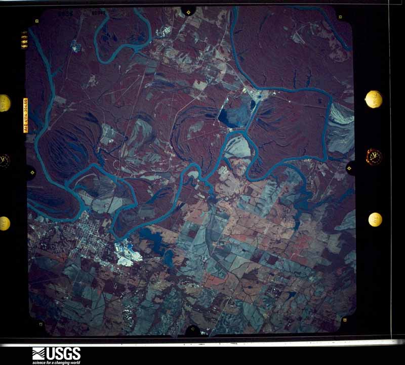
Flown by the U.S. Geological Survey between 1937 and 1989, the Aerial Photo Single Frames collection is the definitive mid-century view of the land: fields, roads and rivers as the camera saw them. The Survey holds 2,164 frames inside the rectangle that bounds this county; the 34 frames below were taken over the county itself, chosen across the decades of flights (at most four a year from that rectangle), so one flight cannot crowd out the rest. The full set is free to browse and download at EarthExplorer under the dataset Aerial Photo Single Frames.
The thermometers that kept this county's weather, and the gages that measured the flow of its streams, as the federal records hold them. The extremes below are measured values from those records, not estimates.
Who lived here in 1950, one enumeration district at a time, as the Census Bureau described each district. Each row opens its official National Archives result, with Population Schedules and ED Maps available there.
Every wildfire the federal occurrence database records inside this county: 564 of them, burning about 4,161 acres. 7 started naturally and 150 were recorded as arson. Each settlement page carries the fires within five miles of it.
| Reported cause | Fires |
|---|---|
| Arson/incendiarism | 150 |
| Debris and open burning | 135 |
| Missing data/not specified/undetermined | 112 |
| Smoking | 62 |
| Equipment and vehicle use | 56 |
| Railroad operations and maintenance | 16 |
| Recreation and ceremony | 12 |
| Misuse of fire by a minor | 8 |
| Natural | 7 |
| Other causes | 4 |
| Power generation/transmission/distribution | 2 |
The five largest, by the area the report gives. Two of them were set deliberately.
| Date | Cause | Size | Reported by | Name on the report |
|---|---|---|---|---|
| 22 February 2011 | Missing data/not specified/undetermined | 420 acres | Alabama Forestry Commission | CR 13, AL |
| 18 October 2015 | Missing data/not specified/undetermined | 150 acres | Alabama Forestry Commission | NWR-20151018-001 |
| 29 October 2012 | Missing data/not specified/undetermined | 100 acres | Alabama Forestry Commission | NWR-20121029-001 |
| 17 October 2015 | Debris and open burning | 90 acres | Alabama Forestry Commission | NWR-20151017-005 |
| 6 September 2006 | Arson/incendiarism | 87 acres | Alabama Forestry Commission | not named |
| 12 November 2007 | Arson/incendiarism | 80 acres | Alabama Forestry Commission | not named |
| 4 March 2006 | Debris and open burning | 66 acres | Alabama Forestry Commission | not named |
| 14 February 2015 | Missing data/not specified/undetermined | 64 acres | Alabama Forestry Commission | NWR-20150214-006 |
Every settlement page carries the fires within five miles of it - see the settlement index below.
The NOAA Storm Events Database holds 166 reports for this county, causing no deaths, 11 injuries and about $9,918,800 in recorded property damage. Each settlement page carries the reports that name it.
| Kind of event | Reports |
|---|---|
| Thunderstorm Wind | 82 |
| Hail | 43 |
| Tornado | 30 |
| Flash Flood | 9 |
| Funnel Cloud | 2 |
The most serious of them, by death, then injury, then recorded damage. The accounts are quoted exactly as the forecast office filed them.
| When | Event | Place named | Harm | What the report says |
|---|---|---|---|---|
| February 1990 | Thunderstorm Wind | not stated | 7 hurt | no account filed |
| April 2010 | Tornado (EF1) | Forkland | 2 hurt, $50,000 | The tornado that had touched down in Marengo County, near the city of Demopolis, moved into Greene County. On its northeast path, it produced sporadic tree damage, and stayed mostly in forested areas. Just before crossing the Black Warrior River for the second time, it struck the Greene County Steam Plant, where 2 men were injured when they were blown down by the wind. A few small buildings were damaged in the same area, and a tractor trailer rig was blown over and moved at least 40 feet. The tornado then moved into Hale County. |
| February 1977 | Tornado (F2) | not stated | 1 hurt, $2,500 | no account filed |
| June 2019 | Thunderstorm Wind | Snoddy | 1 hurt | A child was injured by an uprooted tree and transported to a local hospital. |
| April 2011 | Tornado (EF2) | Tishabee | $5,000,000 | A tornado touched down in southwestern Greene county and moved northeast through central Hale and Bibb counties, before lifting near Marvel in far northeast Bibb county. The tornado touched down near the Tombigbee River, west of Tishabee on CR 69, and intensified to an EF2 rating with winds of 120 mph. As the tornado moved northeast, hundreds of trees were downed, a barn damaged, two small churches destroyed, and several mobile homes destroyed. The tornado crossed US Hwy 43 near Thornhill, destroying a large metal outbuilding and causing major roof and wall damage to several brick buildings. At least two minor injuries were noted along the path in Greene county. The tornado crossed the Black Warrior River and into Hale county east of Lake Mark Hanna. |
| April 2011 | Tornado (EF2) | Mantua | $2,500,000 | A tornado touched down in northern Greene County and moved northeast through southern Tuscaloosa and western Jefferson Counties, causing devastating damage consistent with a violent EF4 rating to portions of the city of Tuscaloosa and western suburbs of Birmingham, before it lifted northeast of downtown Birmingham. The tornado initially touched down just south of the intersection of CR 60 and CR 208 in Greene County, and moved northeast, crossing mostly rural areas and causing significant tree damage. One outbuilding was destroyed with the debris being swept away and pieces of farm equipment flipped over. This damage was consistent with an EF2 rating with winds of 125 mph. The tornado crossed into Tuscaloosa County just north of CR 60. This tornado was produced by a supercell thunderstorm that began in Newton County Mississippi at 13:54 pm CST, finally dissipating in Macon County, North Carolina at approximately 21:18 pm CST. This supercell spawned several strong to violent tornadoes along its long path. |
| April 2011 | Tornado (EF1) | Forkland | $371,000 | The first segment in this tornado initially touched down in Greene County along County Road 20, 2.2 miles east of Forkland. The tornado then moved northeast into Hale County, where it lifted north of State Highway 25, 2.4 miles west of the Bibb County line. In Greene County, the tornado was rated an EF-1, with maximum winds of 105 mph. The tornado snapped hundreds of trees along its path. |
| September 2005 | Tornado (F1) | Clinton | $250,000 | A tornado touched down just east of County Road 20 near Trussells Creek. The tornado moved roughly parallel to Trussells Creek and lifted before the town of Clinton. This tornado primarily affect rural countryside in west central Greene County. The tornado did produce significant tree damage along its path as hundreds of trees were snapped off or uprooted along the path. Many acres will have to be clear cut to salvage the timber. The tornado damage path was 6 miles long and 250 yards wide at its widest point. This tornado was produced by the remnants of Hurricane Rita. Begin: 32 50.52/88 03.94 End: 32 54.37/87 59.85 |
| March 1992 | Tornado (F3) | not stated | $250,000 | no account filed |
| February 1971 | Tornado (F3) | not stated | $250,000 | no account filed |
| November 1957 | Tornado (F1) | not stated | $250,000 | no account filed |
| April 2004 | Thunderstorm Wind | Boligee | $200,000 | no account filed |
| March 2008 | Tornado (EF1) | Eutaw | $150,000 | The tornado touched down near the intersection of US-11 and CR-135, just east of downtown Eutaw. From there, it moved northeastward, crossing CR-12, CR-131, AL-14, CR-170, and ultimately Interstate 20 near mile marker 43. The tornado lifted before reaching CR-167. One home was destroyed, four homes received major damage, and at least twenty more received at least minor damage. Several hundred trees were either snapped off or blown down along the path. |
| April 2003 | Tornado (F0) | Forkland | $100,000 | no account filed |
| April 2011 | Tornado (EF1) | Knoxville | $83,800 | The first segment in this tornado track initially touched down north of County Road 86 in Greene County. It then moved northeast into Tuscaloosa, where it eventually lifted. In Greene County, the tornado was rated an EF-1, with maximum winds of 90 mph. Dozens of hardwood and softwood trees were either snapped or uprooted. |
| May 2003 | Hail | Eutaw | $70,000 | Penny to golf ball size hail was reported from several areas around Eutaw. This was the second hail storm within 30 minutes to affect Greene County. |
| March 1994 | Thunderstorm Wind | Near Jena | $50,000 | Wind with a thunderstorm gusted to over 55 mph destroying one mobile home and pushing a second one off its foundation in northern Greene County southwest of Jena. |
| April 2004 | Hail | Boligee | $30,000 | no account filed |
| January 1998 | Flash Flood | Countywide | $30,000 | no account filed |
| May 2003 | Hail | Mantua | $25,000 | Penny size hail was reported in Mantua. Golf ball size hail was observed in and around the Knoxville area. The hail may have been larger in surrounding rural areas. |
| September 2009 | Flash Flood | Snoddy | $20,000 | Several locations in northern Greene County became flooded, including CR-60 near the Mantua community. Several homes in the Jena community were also flooded. |
| May 1998 | Hail | Union | $20,000 | Golf ball size hail was reported in Union, damaging a few cars. |
| April 2011 | Thunderstorm Wind | Mantua | $15,000 | Trees were knocked down across the county as a squall line moved through the area. |
| April 2011 | Thunderstorm Wind | Union | $15,000 | Strong winds caused minor damage to several hotels and stores at Exit 45 along Interstate 20. |
| July 2005 | Flash Flood | Countywide | $15,000 | Several roadways across Greene County were flooded and temporarily impassable. |
| March 2005 | Thunderstorm Wind | Boligee | $12,000 | Several trees and power lines were blown down just off Interstate 20 near Boligee. |
| May 2005 | Thunderstorm Wind | Countywide | $11,000 | Several trees and power lines were blown down across the southern half of the county. Some of the locations reporting damage included Eutaw, Boligee and Mount Hebron. |
| April 2008 | Thunderstorm Wind | Forkland | $10,000 | Several trees were blown down, including one that fell on a house. |
| April 2003 | Flash Flood | Countywide | $10,000 | Numerous county roadways were impassable due to high water. |
| February 2001 | Thunderstorm Wind | Countywide | $10,000 | Greene County reported only a few trees blown down. In Hebron, a daycare center had part of its roof removed. No injuries were reported. |
| June 1998 | Thunderstorm Wind | Boligee | $10,000 | Numerous trees and power lines were down in the Boligee community. About 3000 people were without power for over 5 hours. |
| April 1996 | Hail | Eutaw | $10,000 | no account filed |
| August 2010 | Thunderstorm Wind | Union | $7,000 | A tree fell onto a house along County Road 170. |
| August 2010 | Thunderstorm Wind | Eutaw | $6,000 | Trees were knocked down along and across Interstate 20 and 59, Highway 14, County Road 131 and Highway 20. |
| March 2006 | Thunderstorm Wind | Eutaw | $5,000 | A few trees and power lines were downed near Eutaw. |
| July 2001 | Thunderstorm Wind | Eutaw | $5,000 | A microburst produced damage to one-third of the roof of a house. The damaging wind also knocked several large limbs down. |
| February 1999 | Thunderstorm Wind | Eutaw | $5,000 | Several trees and power lines were reported down between Mantua and South Union in northeast Greene County. |
| June 1998 | Thunderstorm Wind | Mt Hebron | $5,000 | Several trees and power lines were down in the Mount Hebron area. |
| April 1997 | Thunderstorm Wind | Forkland | $5,000 | Trees were blown down along Hwy 43, south of Forkland, in the southern part of the county. |
| February 1995 | Thunderstorm Wind | Boligee | $5,000 | Thunderstorm wind was responsible for knocking the tops out of trees and causing damage to several houses. |
| February 2004 | Flash Flood | Countywide | $5,000 | no account filed |
| December 1996 | Hail | Eutaw | $5,000 | no account filed |
| March 1996 | Hail | Union | $5,000 | no account filed |
| March 1996 | Thunderstorm Wind | Union | $5,000 | no account filed |
| May 2001 | Thunderstorm Wind | Eutaw | $4,000 | A few trees and power lines were blown down in Eutaw. |
| April 2003 | Hail | Clinton | $3,000 | The first severe, supercell thunderstorm began forming across northern Sumter County and became severe in northern Greene County. This storm produced penny to quarter size hail near Pleasant Ridge, near Union, and near Knoxville. A few trees were also blown down near Union. A rotating wall cloud and funnel cloud were observed at several locations in Greene County associated with this storm. |
| November 2001 | Thunderstorm Wind | Clinton | $3,000 | A few trees were blown down from near the Lewiston community to near Mantua. |
| April 2005 | Thunderstorm Wind | Eutaw | $3,000 | no account filed |
| December 2009 | Thunderstorm Wind | Eutaw | $2,000 | A few trees and power lines were blown down in and around the city of Eutaw. |
| May 2009 | Thunderstorm Wind | Forkland | $2,000 | A few trees were blown down along the river, between Forkland and Demopolis. |
| June 2009 | Thunderstorm Wind | Eutaw | $2,000 | A few trees and large branches were blown down in and around the city of Eutaw. |
| June 2008 | Thunderstorm Wind | Eutaw | $2,000 | Several trees were blown down on US-11 in Eutaw. |
| April 2004 | Thunderstorm Wind | Clinton | $2,000 | Several trees were blown down near the Mount Hebron community in extreme western Greene County. |
| May 2001 | Thunderstorm Wind | Union | $2,000 | Trees were knocked down 3 miles north of Union. |
| April 1998 | Hail | Boligee | $2,000 | Hail the size of quarters was reported near Boligee. |
| February 2009 | Thunderstorm Wind | Forkland | $1,000 | Several trees were blown down along CR-18. |
| July 2008 | Thunderstorm Wind | Lizzieville | $1,000 | A few trees were blown down on CR-20, near Boligee. |
| July 2008 | Thunderstorm Wind | Eutaw | $1,000 | A few trees were blown down on US-11, near Eutaw. |
| April 2005 | Hail | Forkland | $1,000 | Penny size hail fell along CR 20 between Boligee and Forkland. The hail continued to fall south andeast of Forkland all the way to the Black Warrior River. |
| April 2005 | Hail | Forkland | $1,000 | Quarter size hail was reported near Forkland. |
The Survey's mineral resources record lists 7 workings inside this county. 3 still produce and 4 are closed or unrecorded. Each settlement page carries the workings within five miles of it.
| Commodity | Workings |
|---|---|
| Sand and Gravel, Construction | 5 |
| Clay | 2 |
The least common of them first, because a county's hundredth gravel pit says nothing its first ten did not.
| Where | Site | Commodity | Status | Recorded |
|---|---|---|---|---|
| Gre 1 Clay Prospect | Clay | Prospect | ||
| Gre 3 Clay Prospect | Clay | Prospect | ||
| Bell Pit | Sand and Gravel, Construction | Past Producer | ||
| Lewiston Borrow Pit | Sand and Gravel, Construction | Past Producer | ||
| Tate Pit | Sand and Gravel, Construction | Producer | ||
| Tate Quarry | Sand and Gravel, Construction | Producer | Quartz | |
| Thetford Pit | Sand and Gravel, Construction | Producer |
Named settlements recorded in the Geographic Names Information System, each with the topographic sheets covering it. Villages, hamlets and abandoned places alike. Each is shown with the nearest named watercourse or landform and the survey quadrangle it falls on. The 1 place that was also surveyed for fire insurance comes first, with the number of atlases and photographs held for them.
Eutaw census division · 35462 · Eutaw quadrangle
15 sheets, 1927 to 1990
Fire insurance: 6 atlases
Forkland-Tishabee census division · 36740 · On Negrofoot Branch · Demopolis quadrangle
12 sheets, 1946 to 1990
Mantua-West Greene census division · 35462 · On Harkness Branch · Union quadrangle
14 sheets, 1927 to 1990
Boligee census division · 35443 · On Cobbs Branch · Boligee quadrangle
9 sheets, 1953 to 1984
Boligee census division · 35443 · Near Trimble Hill · Forkland quadrangle
13 sheets, 1947 to 1990
Forkland-Tishabee census division · 35443 · Near McAlpin Hill · Forkland quadrangle
13 sheets, 1947 to 1990
Boligee census division · 35443 · Near Trimble Hill · Forkland quadrangle
13 sheets, 1947 to 1990
Forkland-Tishabee census division · 36740 · Near Fannin Hill · Mason Bend quadrangle
11 sheets, 1947 to 1990
Mantua-West Greene census division · 35462 · On Carpenters Creek · Pleasant Ridge quadrangle
11 sheets, 1953 to 1984
Mantua-West Greene census division · 35462 · On Little Creek · Mantua quadrangle
10 sheets, 1953 to 1984
Eutaw census division · 35462 · On Minter Creek · Warrior Dam quadrangle
14 sheets, 1927 to 1990
Forkland-Tishabee census division · 36740 · On McConnico Creek · Mason Bend quadrangle
11 sheets, 1947 to 1990
Mantua-West Greene census division · 35462 · On Brush Creek · Mantua quadrangle
10 sheets, 1953 to 1984
Mantua-West Greene census division · 35443 · Boligee quadrangle
9 sheets, 1953 to 1984
Mantua-West Greene census division · 35443 · Warsaw quadrangle
8 sheets, 1953 to 1984
Mantua-West Greene census division · 35462 · Pleasant Ridge quadrangle
11 sheets, 1953 to 1984
Mantua-West Greene census division · 35442 · On Sipsey River · Aliceville South quadrangle
12 sheets, 1953 to 1984
Forkland-Tishabee census division · 36740 · Near Bullocks Hill · Forkland quadrangle
13 sheets, 1947 to 1990
Forkland-Tishabee census division · 35443 · On Taylor Branch · Forkland quadrangle
13 sheets, 1947 to 1990
Forkland-Tishabee census division · 35443 · By Stephens Bluff · Mason Bend quadrangle
11 sheets, 1947 to 1990
Mantua-West Greene census division · 35491 · On Reeves Branch · West Greene quadrangle
7 sheets, 1953 to 1984
15 topographic sheets and 6 fire insurance atlases, 1893 to 1943
The complete index, with nothing left out. Each of these is a separate record with its own page: a federal survey report, or the case file that argued a property on to the National Register. Both are public domain and reproduced word for word.