 Block
Fairfield, Alabama
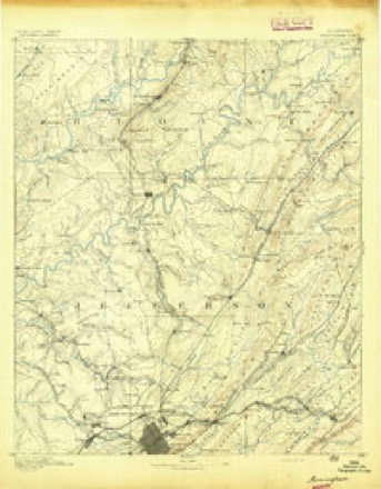
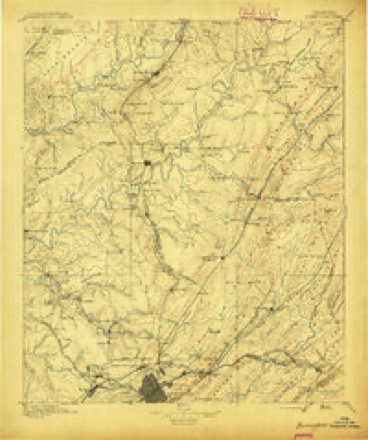
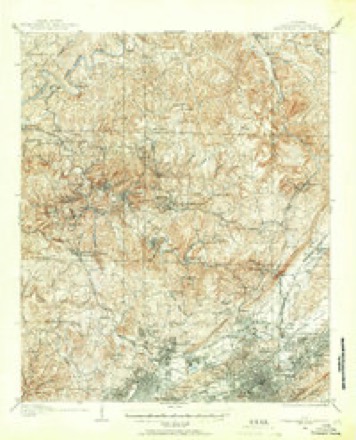
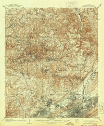
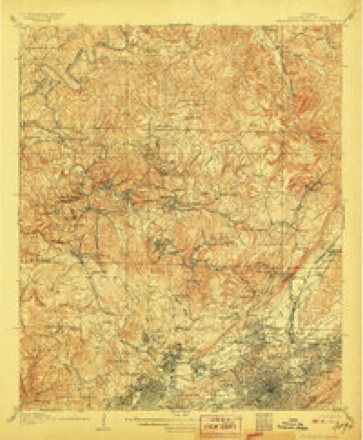
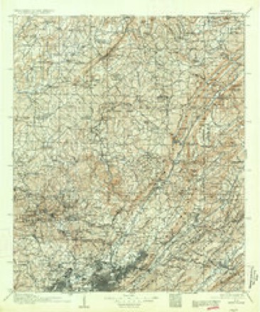
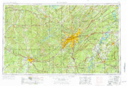
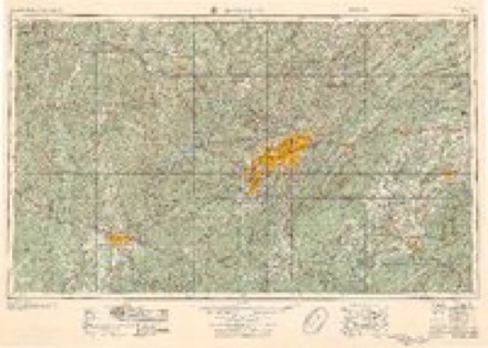
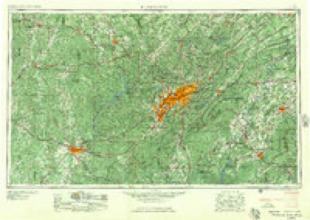
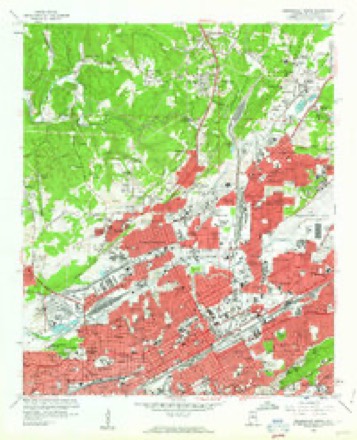
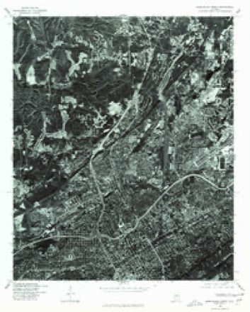
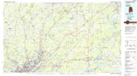
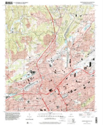
30 topographic sheets cover this place, the earliest surveyed in 1889 and the latest in 1997. It stands in the Birmingham census division. It lies in ZIP code area 35207. The Survey maps it on the Birmingham North quadrangle.
On record in Fairfield
Buildings and businesses the archive holds for this place. Each opens its own page, with the source record it came from.
On the National Register 3 records
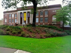 Brown Halllisted 1994
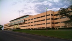 Flintridge Buildinglisted 2004
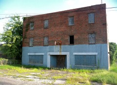 Parham Apothecary Buildinglisted 1996
Surveyed buildings and structures 6 records
- City of Fairfield, Fairfieldfederal building survey, 4 photographs
- Tennessee Coal & Iron Company, Fairfield Works, North of Valley Road, west of Ensley-Pleasant Grove Road, Fairfieldfederal building survey, 10 photographs
- Tennessee Coal & Iron Company, Flint Ridge Building, Flint Ridge Road, Fairfieldfederal building survey, 1 photograph
- U.S. Steel, Fairfield Works, Blast Furnace No. 8, North of Valley Road, West of Ensley-Pleasant Grove Road, Fairfieldfederal building survey, 7 photographs
- U.S. Steel, Fairfield Works, Continuous Caster, Fairfieldfederal building survey, 9 photographs
- U.S. Steel, Fairfield Works, Q-Bop Furnace, North of Valley Road & West of Ensley, Pleasant Grove Road, Fairfieldfederal building survey, 15 photographs
Topographic sheets covering this place
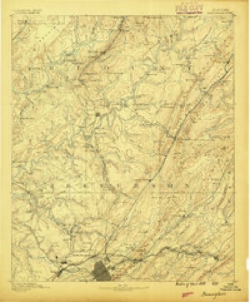
14 surveys from 30 printed sheetsMatched by testing this settlement's coordinate against the published boundary of every sheet in the United States Geological Survey's historical collection. Each opens the scanned sheet at the Survey.
- 1889 USGS Birmingham quadrangle1:125000
- 1892 USGS Birmingham quadrangle1:125000
- 1895 USGS Birmingham quadrangle1:125000, 2 printings
- 1904 USGS Birmingham Coal District quadrangle1:62500
- 1906 USGS Birmingham Coal District quadrangle1:62500, 3 printings
- 1906 USGS Birmingham Special quadrangle1:62500
- 1907 USGS Birmingham quadrangle1:125000, 5 printings
- 1953 USGS Birmingham quadrangle1:250000, 4 printings
- 1956 USGS Birmingham quadrangle1:250000
- 1957 USGS Birmingham quadrangle1:250000
- 1959 USGS Birmingham North quadrangle1:24000, 6 printings
- 1975 USGS Birmingham North quadrangle1:24000
- 1984 USGS Birmingham North quadrangle1:100000, 2 printings
- 1997 USGS Birmingham North quadrangle1:24000
Photographs
2 photographs, 1937Taken for the Office of War Information and the Farm Security Administration, who photographed the country between 1935 and 1944. Works of United States government photographers, with no known restriction on use. Each opens its catalogue record.
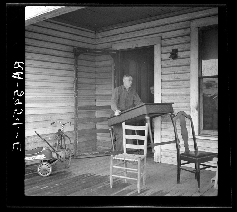
Rothstein, Arthur, 1937. Library of Congress
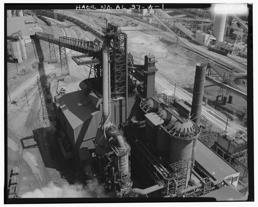
Photographer not recorded. Library of Congress
Fires near this place
57 since 1993Regional context, not property-specific evidence. The federal wildfire occurrence database lists 57 fires within 5 miles of Fairfield between 1993 and 2019, burning about 830 acres in total. 2 started naturally. 20 were recorded as arson. Distance is straight-line from the map coordinates, so a fire counted here may appear on a neighbouring settlement's page as well.
| Reported cause | Fires |
|---|---|
| Arson/incendiarism | 20 |
| Missing data/not specified/undetermined | 11 |
| Debris and open burning | 11 |
| Equipment and vehicle use | 4 |
| Railroad operations and maintenance | 3 |
| Recreation and ceremony | 3 |
| Smoking | 2 |
| Natural | 2 |
| Other causes | 1 |
The most recent of them, most recent first, with the day each was reported and the service that recorded it.
| Date | Cause | Size | Reported by | Name on the report |
|---|---|---|---|---|
| 7 September 1995 | Recreation and ceremony | 1.0 acres | Alabama Forestry Commission | not named |
| 6 September 1995 | Railroad operations and maintenance | 7.0 acres | Alabama Forestry Commission | not named |
| 26 September 2019 | Equipment and vehicle use | 10 acres | Alabama Forestry Commission | 20190926-8 |
| 24 September 2015 | Missing data/not specified/undetermined | 6.0 acres | Alabama Forestry Commission | NER-20150924-001 |
| 19 September 2007 | Railroad operations and maintenance | under an acre | Alabama Forestry Commission | not named |
| 13 September 2003 | Arson/incendiarism | under an acre | Alabama Forestry Commission | 4309 SUNFLOWER STREET, AL |
| 26 August 2005 | Missing data/not specified/undetermined | under an acre | Alabama Forestry Commission | not named |
| 25 August 2011 | Arson/incendiarism | under an acre | Alabama Forestry Commission | 2386 CR 65, AL |
Settlements close enough to share some of these fires:
Mines and quarries near this place
10 of 16 shownRegional context, not property-specific evidence. The federal mineral resources record lists 16 workings within 5 miles of Fairfield: 7 past producers, 3 plants, 3 unknowns, 3 producers. 6 still produce. What was taken out: Iron, Stone, Crushed/Broken, Sand and Gravel, Construction, Vermiculite. Distance is straight-line from the map coordinates, so a quarry counted here may appear on a neighbouring settlement's page as well.
| Where | Site | Commodity | Status | Recorded |
|---|---|---|---|---|
| Birmingham Plant | Vermiculite | Past Producer | ||
| Wade Sand & Gravel Co. Pit | Sand and Gravel, Construction | Producer | ||
| Citadel Cement Operation | Stone, Crushed/Broken | Past Producer | ||
| Dolcito Quarry | Stone, Crushed/Broken | Producer | ||
| East Thomas Quarry & Plant | Stone, Crushed/Broken | Producer | ||
| Hammond Mine | Iron | Past Producer | ||
| Hammond, Dago, Hendona, and Valleyview Mines | Iron | Past Producer | Hematite | |
| Helen Bess Mine | Iron | Past Producer | ||
| Irondale Mine | Iron | Past Producer | ||
| Kewanaw Mine | Iron | Past Producer |
Storms near this place
10 since 1995Regional context, not property-specific evidence. The National Weather Service names Fairfield in 10 storm reports between 1995 and 2022: 5 thunderstorm wind, 3 hail, 1 lightning, 1 flash flood. No death or injury is recorded in these reports. Each account below is quoted exactly as the forecast office filed it, from the NOAA Storm Events Database, and each date opens the federal record of that event.
| When | Event | Place named | Harm | What the report says |
|---|---|---|---|---|
| April 1995 | Thunderstorm Wind | Fairfield | $65,000 | A wind gust to 60 mph was reported by a television station located on Red Mountain overlooking downtown Birmingham. The local emergency management office reported trees and power lines down around the city and county. In Irondale, the roof was blown off an electronics store. In Fairfield, numerous buildings sustained minor damage in the Fairfield Heights and Rutledge Hills areas. Glass doors were blown out and skylights were damaged at Western Hills Mall. A tree reportedly fell on a car in Ketona and the occupant was briefly trapped. Alabama Power reported 38,400 people were without power at one point. In Ensley, a man died in a house fire that apparently started when candles were used while the electricity was out. In the Leeds area, a woman was briefly trapped in her house when a tree fell on it. |
| June 1998 | Thunderstorm Wind | Fairfield | $30,000 | no account filed |
| July 2003 | Lightning | Fairfield | $12,000 | A store was struck by lightning in Fairfield. The store suffered minor damage. |
| April 1998 | Hail | Fairfield | $3,000 | no account filed |
| April 2008 | Thunderstorm Wind | Fairfield | $2,000 | Several trees were blown down in the western portion of the county. |
| July 2022 | Hail | Fairfield | - | Quarter size hail reported in Fairfield. |
| July 2020 | Thunderstorm Wind | Fairfield | - | Several trees uprooted and on a house in the city of Fairfield. |
| June 2016 | Thunderstorm Wind | Fairfield | - | Several trees uprooted between the cities of Pleasant Grove and Farfield. |
| January 2013 | Flash Flood | Fairfield | - | The intersection at E.J. Oliver Blvd and Valley Road in Fairfield was impassable due to high waters. |
| May 1995 | Hail | Fairfield | - | Dime-size hail was reported by the Jefferson County Sheriff's Department at Fairfield. |
Nearest settlements
The eight closest, with where each one stands in the county. Distances are straight-line, computed from the Geographic Names Information System coordinates.
| Map | Place | Distance | Sheets |
|---|---|---|---|
| Vulcan City | 0.3 miles | 30 | |
| Harriman Park | 0.4 miles | 30 | |
| Douglasville | 0.6 miles | 30 | |
| East Boyles | 0.8 miles | 30 | |
| Village Creek | 0.8 miles | 30 | |
| Bendale | 0.9 miles | 30 | |
| Inglenook | 1.0 miles | 30 | |
| Vanderbilt | 1.1 miles | 30 |
Provenance
This settlement is recorded in the Geographic Names Information System as feature 118114. The sheet list is computed by point-in-boundary test against the United States Geological Survey's historical topographic inventory. Both are works of the United States government and carry no copyright under 17 U.S.C. 105.
Wildfire. Short, Karen C. 2022. Spatial wildfire occurrence data for the United States, 1992-2020 [FPA_FOD_20221014]. 6th Edition. Fort Collins, CO: Forest Service Research Data Archive. https://doi.org/10.2737/RDS-2013-0009.6 Collected with United States Government funding and usable without additional permissions or fees.
Mines and quarries. USGS Mineral Resources Data System (MRDS) https://mrdata.usgs.gov/mrds/ A work of the United States government, no copyright under 17 U.S.C. 105.
Storms. NOAA National Centers for Environmental Information, Storm Events Database https://www.ncei.noaa.gov/stormevents/ A work of the United States government, no copyright under 17 U.S.C. 105. Narratives are quoted verbatim from the National Weather Service report and are not edited or summarised.