 Block
Farley, Alabama
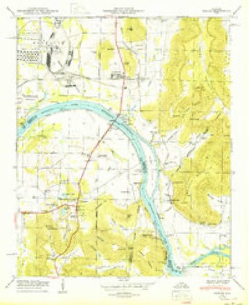
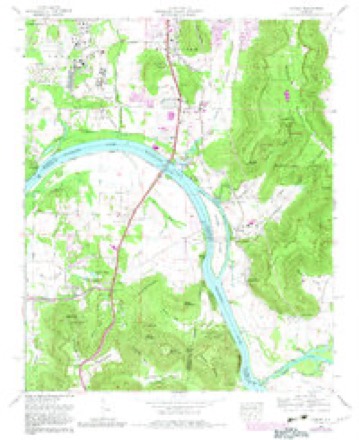
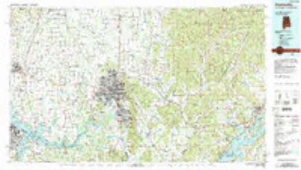
23 topographic sheets cover this place, the earliest surveyed in 1888 and the latest in 1984. It stands in the Huntsville census division. It lies in ZIP code area 35803. It lies near Little Farley Mountain. The Survey maps it on the Farley quadrangle.
Topographic sheets covering this place
11 surveys from 23 printed sheetsMatched by testing this settlement's coordinate against the published boundary of every sheet in the United States Geological Survey's historical collection. Each opens the scanned sheet at the Survey.
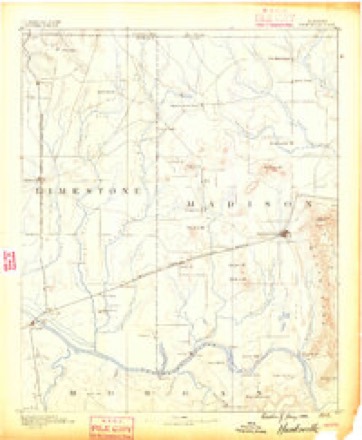
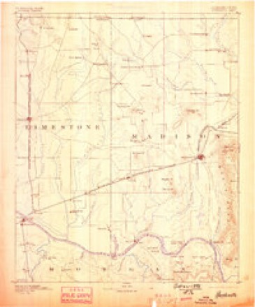
- 1888 USGS Huntsville quadrangle1:125000
- 1892 USGS Huntsville quadrangle1:125000, 6 printings
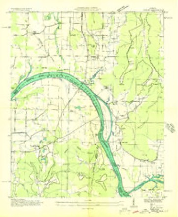
- 1936 USGS Farley quadrangle1:24000
- 1947 USGS Farley quadrangle1:24000
- 1950 USGS Farley quadrangle1:24000
- 1956 USGS Gadsden quadrangle1:250000, 3 printings
- 1958 USGS Gadsden quadrangle1:250000
- 1960 USGS Gadsden quadrangle1:250000, 2 printings
- 1963 USGS Gadsden quadrangle1:250000
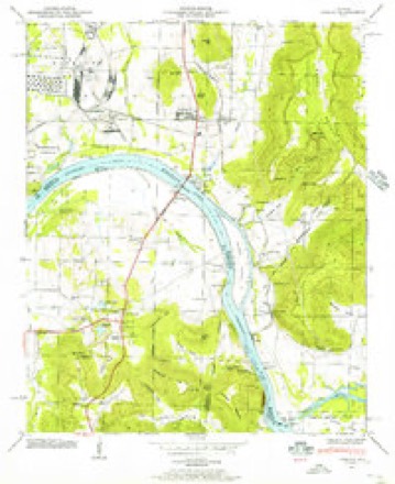
- 1964 USGS Farley quadrangle1:24000, 3 printings
- 1984 USGS Huntsville quadrangle1:100000, 3 printings




Fires near this place
27 since 1994Regional context, not property-specific evidence. The federal wildfire occurrence database lists 27 fires within 5 miles of Farley between 1994 and 2019, burning about 261 acres in total. None started naturally. 8 were recorded as arson. Distance is straight-line from the map coordinates, so a fire counted here may appear on a neighbouring settlement's page as well.
| Reported cause | Fires |
|---|---|
| Debris and open burning | 9 |
| Arson/incendiarism | 8 |
| Missing data/not specified/undetermined | 5 |
| Recreation and ceremony | 3 |
| Smoking | 1 |
| Misuse of fire by a minor | 1 |
The most recent of them, most recent first, with the day each was reported and the service that recorded it.
| Date | Cause | Size | Reported by | Name on the report |
|---|---|---|---|---|
| 3 September 2018 | Debris and open burning | under an acre | Alabama Forestry Commission | 20180903-6 |
| 22 September 1997 | Arson/incendiarism | 30 acres | Alabama Forestry Commission | not named |
| 21 September 2010 | Debris and open burning | 2.0 acres | Alabama Forestry Commission | not named |
| 2 September 1995 | Debris and open burning | 15 acres | Alabama Forestry Commission | not named |
| 12 September 2019 | Missing data/not specified/undetermined | 2.0 acres | Alabama Forestry Commission | 20190912-15 |
| 11 September 2002 | Arson/incendiarism | 10 acres | Alabama Forestry Commission | not named |
| 19 July 2007 | Debris and open burning | 3.0 acres | Alabama Forestry Commission | not named |
| 21 June 2007 | Arson/incendiarism | under an acre | Alabama Forestry Commission | not named |
Settlements close enough to share some of these fires:
Mines and quarries near this place
4 within 5 milesRegional context, not property-specific evidence. The federal mineral resources record lists 4 workings within 5 miles of Farley: 3 producers, 1 past producer. 3 still produce. What was taken out: Clay, Sand and Gravel, Construction, Stone, Crushed/Broken. Distance is straight-line from the map coordinates, so a quarry counted here may appear on a neighbouring settlement's page as well.
| Where | Site | Commodity | Status | Recorded |
|---|---|---|---|---|
| Dixie Dredge No.8 | Sand and Gravel, Construction | Producer | ||
| South Parway Quarry No. 1 | Stone, Crushed/Broken | Past Producer | ||
| General Shale Products Co. Pit | Clay | Producer | ||
| Wheeler Lake Mine | Clay | Producer |
Storms near this place
16 since 2007Regional context, not property-specific evidence. The National Weather Service names Farley in 16 storm reports between 2007 and 2025: 6 hail, 4 thunderstorm wind, 2 lightning, 2 flash flood. No death or injury is recorded in these reports. Each account below is quoted exactly as the forecast office filed it, from the NOAA Storm Events Database, and each date opens the federal record of that event.
| When | Event | Place named | Harm | What the report says |
|---|---|---|---|---|
| October 2010 | Thunderstorm Wind | Farley | $12,000 | Trees and powerlines were blown down near the intersection of Green Cove Road and Highway 231. |
| January 2014 | Lightning | Farley | $10,000 | Lightning struck a horse barn on Green Mountain in Huntsville. The lightning sparked a fire which killed 12 horses in the barn (due to smoke inhalation), 13 cats and a dog. Six vehicles were destroyed along with antiques and collectibles stored in the barn. |
| August 2008 | Hail | Farley | $10,000 | A severe thunderstorm produced golf ball sized hail which heavily damaged two cars in south Huntsville. |
| June 2022 | Thunderstorm Wind | Farley | $1,000 | Several power lines were knocked down on Green Mountain. |
| June 2011 | Thunderstorm Wind | Farley | $1,000 | A Bradford Pear tree was blown down near the Farley community. |
| May 2009 | Flash Flood | Farley | $1,000 | Runoff from heavy rain caused water to flow over Danmann Circle in southeast Huntsville, which flooded portions of a house. |
| August 2007 | Lightning | Farley | $1,000 | Lightning struck a power substation on Chaney Thompson Road causing a power outage affecting 1900 customers. Lightning also struck a substation in downtown Huntsville affecting 300 customers. Time was estimated. |
| April 2025 | Hail | Farley | - | Quarter size hail was reported at this location on St. Alban Blvd. via social media. |
| April 2025 | Hail | Farley | - | Three quarter inch in diameter hail was reported by an MPING observer at this location. |
| October 2014 | Thunderstorm Wind | Farley | - | Trees down on Chaney Thompson Road and Mountain Gap Road, in south Huntsville. |
| April 2013 | Tornado (EF1) | Farley | - | A tornado touched down on the southeast area of Redstone Arsenal near the intersection of Redstone Road Southwest and Patton Road Southwest. Damage was seen just northeast of this location as several small to medium-sized trees were snapped along Magazine road. About a half mile northeast, off Sandpiper road, minor structural damage occurred to a medium-sized metal building system with two portions of a west facing wall blown out. Debris from the walls and small portions of the roof were thrown to the northwest, perpendicular to the storm motion and track. Several pine trees were snapped and uprooted in this area as well. The tornado continued its track northeast toward the eastern edge of the Arsenal perimeter, where several larger trees were snapped and uprooted. The tornado continued its track northeast and connected with the damage beginning around Craigmont road. ||The tornado continued to track toward the west side of Memorial Parkway (Highway 231), in the 9000 block of Craigmont drive. In this area, several large trees were snapped or uprooted with at least one falling onto the back of a house. The tornado moved northeast, crossing Highway 231, with several trees snapped along Oldfield road. Extensive power line and power pole damage was also noted at the intersection of Whitesburg Drive and Lily Flagg road. Several wooden poles were snapped near the base and a street light was snapped at the base as well. Several business signs were blown out in the area. The tornado was likely at its strongest point in this area, reaching EF-1 intensity. ||The tornado then moved across several residential neighborhoods, snapping and uprooting both soft and hardwood trees. Minor damage to roofs, mainly from falling trees, was also noted. A large tree fell on a house on Valley View drive, causing major damage to the home. The tornado crossed Hickory Hill road, snapping trees and eventually causing minor tree damage in the Valley Hill Country Club area. The tonrado finally lifted near Haven Street, just west of Bailey Cove road. |
| May 2010 | Hail | Farley | - | Nickel sized hail was reported at the intersection of South Memorial Parkway and Green Cove road. |
| May 2009 | Flash Flood | Farley | - | Flash flooding was reported at Bailey Cove Road at Old Brook Trail. |
| August 2008 | Hail | Farley | - | A severe thunderstorm produced penny size hail in southeast Huntsville. |
| July 2007 | Hail | Farley | - | Nickel sized hail was reported at Hobbs Road and the South Memorial Parkway. |
| August 2007 | Heavy Rain | Farley | - | Rainfall of 3.79 inches was measured. |
Nearest settlements
The eight closest, with where each one stands in the county. Distances are straight-line, computed from the Geographic Names Information System coordinates.
| Map | Place | Distance | Sheets |
|---|---|---|---|
| Redstone Park | 0.3 miles | 23 | |
| Green Cove Meadows | 0.7 miles | 23 | |
| Sandhurst Park | 1.0 miles | 23 | |
| Whitesburg | 1.3 miles | 23 | |
| Woodridge | 1.8 miles | 23 | |
| South Park Estates | 1.8 miles | 23 | |
| Regent Forest | 1.9 miles | 23 | |
| Mountain Gap Estates | 2.0 miles | 23 |
Provenance
This settlement is recorded in the Geographic Names Information System as feature 118200. The sheet list is computed by point-in-boundary test against the United States Geological Survey's historical topographic inventory. Both are works of the United States government and carry no copyright under 17 U.S.C. 105.
Wildfire. Short, Karen C. 2022. Spatial wildfire occurrence data for the United States, 1992-2020 [FPA_FOD_20221014]. 6th Edition. Fort Collins, CO: Forest Service Research Data Archive. https://doi.org/10.2737/RDS-2013-0009.6 Collected with United States Government funding and usable without additional permissions or fees.
Mines and quarries. USGS Mineral Resources Data System (MRDS) https://mrdata.usgs.gov/mrds/ A work of the United States government, no copyright under 17 U.S.C. 105.
Storms. NOAA National Centers for Environmental Information, Storm Events Database https://www.ncei.noaa.gov/stormevents/ A work of the United States government, no copyright under 17 U.S.C. 105. Narratives are quoted verbatim from the National Weather Service report and are not edited or summarised.