 Block
Georgetown, Alabama
20 topographic sheets cover this place, the earliest surveyed in 1942 and the latest in 1994. It stands in the Mobile census division. It lies in ZIP code area 36587. It stands on Bee Tree Branch. The Survey maps it on the Georgetown quadrangle.
Topographic sheets covering this place
11 surveys from 20 printed sheetsMatched by testing this settlement's coordinate against the published boundary of every sheet in the United States Geological Survey's historical collection. Each opens the scanned sheet at the Survey.
- 1942 USGS Wilmer quadrangle1:62500
- 1944 USGS Wilmer quadrangle1:62500, 2 printings
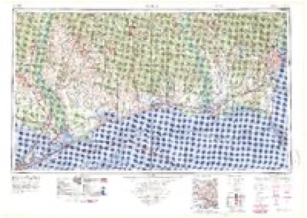
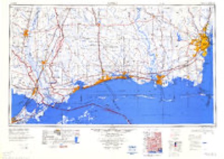
- 1953 USGS Mobile quadrangle1:250000, 3 printings
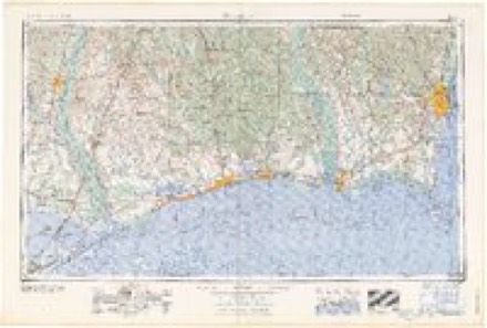
- 1957 USGS Mobile quadrangle1:250000, 3 printings
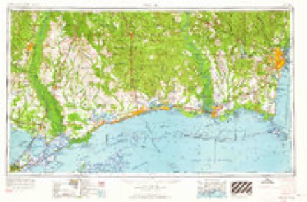
- 1960 USGS Mobile quadrangle1:250000
- 1963 USGS Mobile quadrangle1:250000
- 1965 USGS Mobile quadrangle1:250000
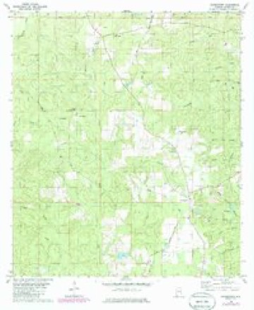
- 1982 USGS Georgetown quadrangle1:24000, 3 printings
- 1984 USGS Mobile quadrangle1:250000, 3 printings
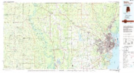
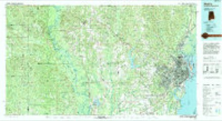
- 1984 USGS Mobile quadrangle1:100000
- 1994 USGS Mobile quadrangle1:100000
Fires near this place
339 since 1994Regional context, not property-specific evidence. The federal wildfire occurrence database lists 339 fires within 5 miles of Georgetown between 1994 and 2020, burning about 2,404 acres in total. 6 started naturally. 111 were recorded as arson. Distance is straight-line from the map coordinates, so a fire counted here may appear on a neighbouring settlement's page as well.
| Reported cause | Fires |
|---|---|
| Debris and open burning | 136 |
| Arson/incendiarism | 111 |
| Missing data/not specified/undetermined | 53 |
| Recreation and ceremony | 14 |
| Equipment and vehicle use | 9 |
| Natural | 6 |
| Misuse of fire by a minor | 5 |
| Smoking | 3 |
| Railroad operations and maintenance | 1 |
| Fireworks | 1 |
The most recent of them, most recent first, with the day each was reported and the service that recorded it.
| Date | Cause | Size | Reported by | Name on the report |
|---|---|---|---|---|
| 8 September 1995 | Recreation and ceremony | 1.0 acres | Alabama Forestry Commission | not named |
| 30 September 1995 | Recreation and ceremony | under an acre | Alabama Forestry Commission | not named |
| 3 September 1995 | Debris and open burning | 1.0 acres | Alabama Forestry Commission | not named |
| 29 September 2000 | Arson/incendiarism | under an acre | Alabama Forestry Commission | not named |
| 27 September 2012 | Arson/incendiarism | under an acre | Alabama Forestry Commission | SWR-20120927-001 |
| 26 September 2013 | Missing data/not specified/undetermined | 1.0 acres | Alabama Forestry Commission | SWR-20130926-001 |
| 18 September 2007 | Missing data/not specified/undetermined | 1.0 acres | Alabama Forestry Commission | not named |
| 15 September 2010 | Debris and open burning | 40 acres | Alabama Forestry Commission | not named |
Settlements close enough to share some of these fires:
Mines and quarries near this place
3 within 5 milesRegional context, not property-specific evidence. The federal mineral resources record lists 3 workings within 5 miles of Georgetown: 2 past producers, 1 prospect. None of them still produces. What was taken out: Sand and Gravel, Construction, Sand and Gravel, Construction, Clay, Clay. Distance is straight-line from the map coordinates, so a quarry counted here may appear on a neighbouring settlement's page as well.
| Where | Site | Commodity | Status | Recorded |
|---|---|---|---|---|
| Alabama Asphalt Paving Co., Inc Pit | Sand and Gravel, Construction, Clay | Past Producer | ||
| Mob 14 Clay Prospect | Clay | Prospect | ||
| Pit Camp No 3 | Sand and Gravel, Construction | Past Producer |
Storms near this place
14 since 1996Regional context, not property-specific evidence. The National Weather Service names Georgetown in 14 storm reports between 1996 and 2026: 9 thunderstorm wind, 3 tornado, 1 funnel cloud, 1 hail. No death or injury is recorded in these reports. Each account below is quoted exactly as the forecast office filed it, from the NOAA Storm Events Database, and each date opens the federal record of that event.
| When | Event | Place named | Harm | What the report says |
|---|---|---|---|---|
| June 2001 | Thunderstorm Wind | Georgetown | $70,000 | High winds from a mesocyclone blew down several trees with some landing on roofs of homes and automobiles. The high winds also caused some damage to roofs and outbuildings. Most of the damage was along State Highway 217 just north of the Georgetown Fire Department. The damage area was about a mile wide. |
| August 2006 | Thunderstorm Wind | Georgetown | $30,000 | High winds from a thunderstorm blew siding off a store in the Georgetown community. Trees and power lines were also blown down. |
| October 2007 | Thunderstorm Wind | Georgetown | $20,000 | no account filed |
| August 2006 | Thunderstorm Wind | Georgetown | $10,000 | High winds from a thunderstorm blew down several trees and power lines near Georgetown. |
| November 2002 | Thunderstorm Wind | Georgetown | $5,000 | A few trees were blown down just north of Georgetown. |
| October 1997 | Thunderstorm Wind | Georgetown | $3,000 | Several trees were blown down along County Road 63 and State Road 217 near Georgetown. This damage was along the track of the mesocyclone that triggered a tornado near Wilmer. |
| July 1996 | Thunderstorm Wind | Georgetown | $2,000 | no account filed |
| March 2026 | Tornado (EF0) | Georgetown | - | The EF-0 tornado began along Mason Ferry Rd west of Georgetown|Alabama where it resulted in a few large branches snapped. The|tornado continued through the forest on the north side of Mason|Ferry rd before reaching McDavid rd where large branches and a|large softwood tree was uprooted in a clear convergent pattern.|This is likely where the tornado ended. The tornado may have|reached peak intensity within the woods; however, the peak|intensity that survey crews were able to find was around 85 mph. |
| March 2026 | Tornado (EF1) | Georgetown | - | The EF-1 tornado began south of Mason Ferry Rd just south of|McDavid Rd. The start point was difficult to determine as the end|point of another tornado and the start point of this tornado were|close in proximity to each other. However, convergence patterns|and radar analysis did suggest that these were indeed two|separate tornadoes rather than one tornado. The tornado snapped a|couple of softwood trunks and continued sporadically uprooting|trees as it approached Brothers Lake Club Rd where it reached|peak intensity of 90 mph near and around Brothers Lake Club Rd.|The tornado then crosses Mason Ferry Rd and tracked into the|forest before crossing Alabama 217 and finishing near Cleborne|Rd. |
| April 2024 | Tornado (EF1) | Georgetown | - | Brief EF-1 tornado begun on Brighton Ct removing a home's roof. It|appears the roof was removed due to a garage door failure leading|to almost complete removal. An exterior wall in the garage was|bowed out; however, a lower wind speed was assigned due to the|failure mode being the garage door and absolute lack of any other|damage surrounding the house. The tornado then crossed northwest|across Brighton Dr and dissipated near Brandy Ct while snapping some|large hardwood branches and a fence blown inward resulting in a |convergent path. |
| April 2024 | Thunderstorm Wind | Georgetown | - | Photos relayed on social media of roof damage to a home off Georgetown Chunchula Rd. |
| April 2021 | Thunderstorm Wind | Georgetown | - | Multiple power lines down in roadway near Chunchula Georgetown Road at Alver Road. |
| October 2004 | Funnel Cloud | Georgetown | - | A funnel cloud was observed for several minutes near Earlville. The funnel never touched the ground. |
| May 2011 | Hail | Georgetown | - | no account filed |
Nearest settlements
The eight closest, with where each one stands in the county. Distances are straight-line, computed from the Geographic Names Information System coordinates.
| Map | Place | Distance | Sheets |
|---|---|---|---|
| Smithtown | 3.8 miles | 27 | |
| Chunchula | 4.4 miles | 21 | |
| Millertown | 4.7 miles | 19 | |
| Oak Grove | 5.2 miles | 27 | |
| Lott | 5.4 miles | 19 | |
| Boothetown | 5.7 miles | 20 | |
| Mauvilla | 5.8 miles | 27 | |
| Warley | 6.5 miles | 19 |
Provenance
This settlement is recorded in the Geographic Names Information System as feature 118906. The sheet list is computed by point-in-boundary test against the United States Geological Survey's historical topographic inventory. Both are works of the United States government and carry no copyright under 17 U.S.C. 105.
Wildfire. Short, Karen C. 2022. Spatial wildfire occurrence data for the United States, 1992-2020 [FPA_FOD_20221014]. 6th Edition. Fort Collins, CO: Forest Service Research Data Archive. https://doi.org/10.2737/RDS-2013-0009.6 Collected with United States Government funding and usable without additional permissions or fees.
Mines and quarries. USGS Mineral Resources Data System (MRDS) https://mrdata.usgs.gov/mrds/ A work of the United States government, no copyright under 17 U.S.C. 105.
Storms. NOAA National Centers for Environmental Information, Storm Events Database https://www.ncei.noaa.gov/stormevents/ A work of the United States government, no copyright under 17 U.S.C. 105. Narratives are quoted verbatim from the National Weather Service report and are not edited or summarised.