 Block
Guntersville, Alabama
22 topographic sheets cover this place, the earliest surveyed in 1885 and the latest in 1984. It stands in the Guntersville census division. It lies in ZIP code area 35976. It stands on Big Spring Creek. The Survey maps it on the Guntersville quadrangle. 8,553 people lived here at the 2020 count. It stands 650 feet above sea level.
Research this city
On record in Guntersville
Buildings and businesses the archive holds for this place. Each opens its own page, with the source record it came from.
On the National Register 8 records
 Company E of the 167th Infantry of the Alabama National Guard Armorylisted 2005
 Downtown Guntersville Historic Districtlisted 2012
 Guntersville City Schoollisted 2003
 Guntersville Post Office Buildinglisted 2010
 Albert G. Henry Jr. Houselisted 1989
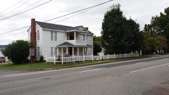 Henry-Jordan Houselisted 1979
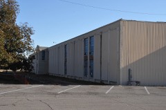 Saratoga Victory Milllisted 1984
- Guntersville Hydroelectric Projectlisted 2016
Population over time
2 figuresGuntersville grew from 8,197 to 8,553 between 2010 and 2020. These are the recorded population figures Wikidata holds for this place, reached through the Geographic Names Information System number this page is keyed on rather than by name, so they belong to this place and not to another of the same name. Most are census counts, but not all are: an early figure may be a founding or settlement estimate, and an estimate published within five years of a census is left out. The change column is computed, and is left blank where more than 20 years separate a figure from the one before it, because a gap that long is not a change between two counts.
| Year | People | Change |
|---|---|---|
| 2010 | 8,197 | |
| 2020 | 8,553 | +356 (+4%) |
Topographic sheets covering this place
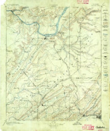
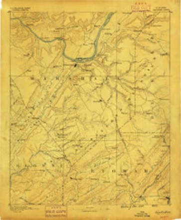
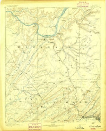
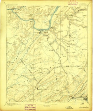
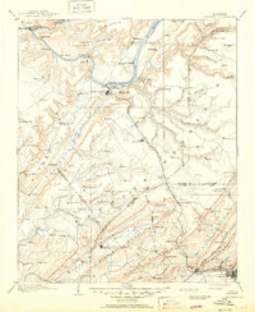
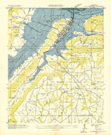
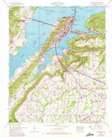
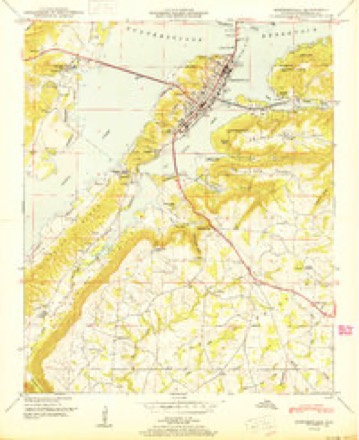
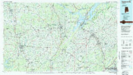
13 surveys from 22 printed sheetsMatched by testing this settlement's coordinate against the published boundary of every sheet in the United States Geological Survey's historical collection. Each opens the scanned sheet at the Survey.
- 1885 USGS Gadsden quadrangle1:125000
- 1888 USGS Gadsden quadrangle1:125000
- 1892 USGS Gadsden quadrangle1:125000
- 1895 USGS Gadsden quadrangle1:125000
- 1903 USGS Gadsden quadrangle1:125000, 4 printings
- 1936 USGS Guntersville quadrangle1:24000
- 1948 USGS Guntersville quadrangle1:24000, 3 printings
- 1950 USGS Guntersville quadrangle1:24000
- 1956 USGS Gadsden quadrangle1:250000, 3 printings
- 1958 USGS Gadsden quadrangle1:250000
- 1960 USGS Gadsden quadrangle1:250000, 2 printings
- 1963 USGS Gadsden quadrangle1:250000
- 1984 USGS Guntersville quadrangle1:100000, 2 printings




Photographs
8 of 9 photographs shown, 1933Taken for the Office of War Information and the Farm Security Administration, who photographed the country between 1935 and 1944. Works of United States government photographers, with no known restriction on use. Each opens its catalogue record.

Photographer not recorded, 1933. Library of Congress
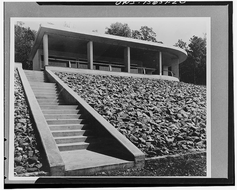
Photographer not recorded, 1933. Library of Congress
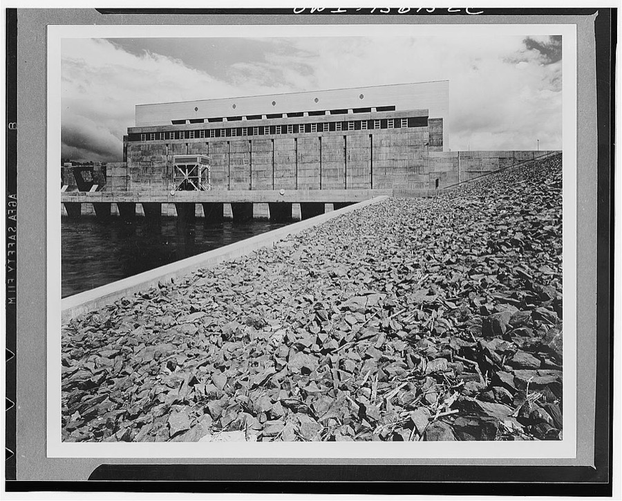
Photographer not recorded, 1933. Library of Congress
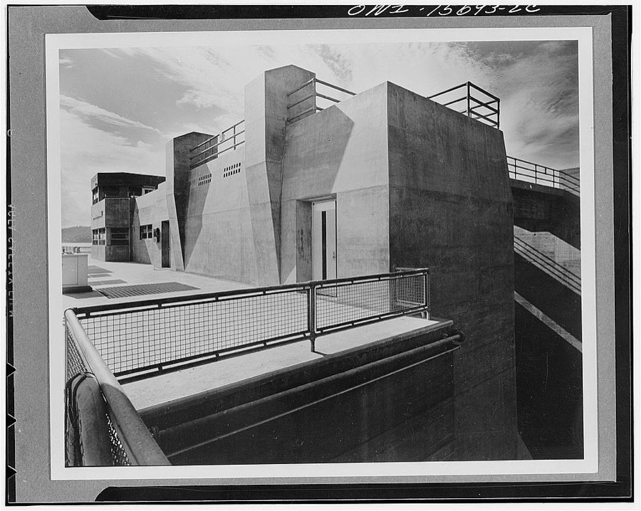
Photographer not recorded, 1933. Library of Congress
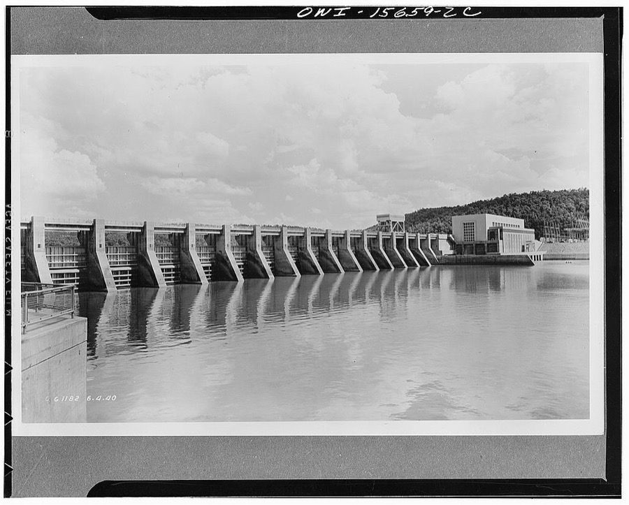
Photographer not recorded, 1933. Library of Congress
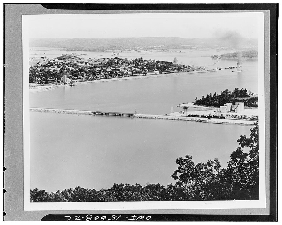
Photographer not recorded, 1933. Library of Congress

Photographer not recorded, 1933. Library of Congress
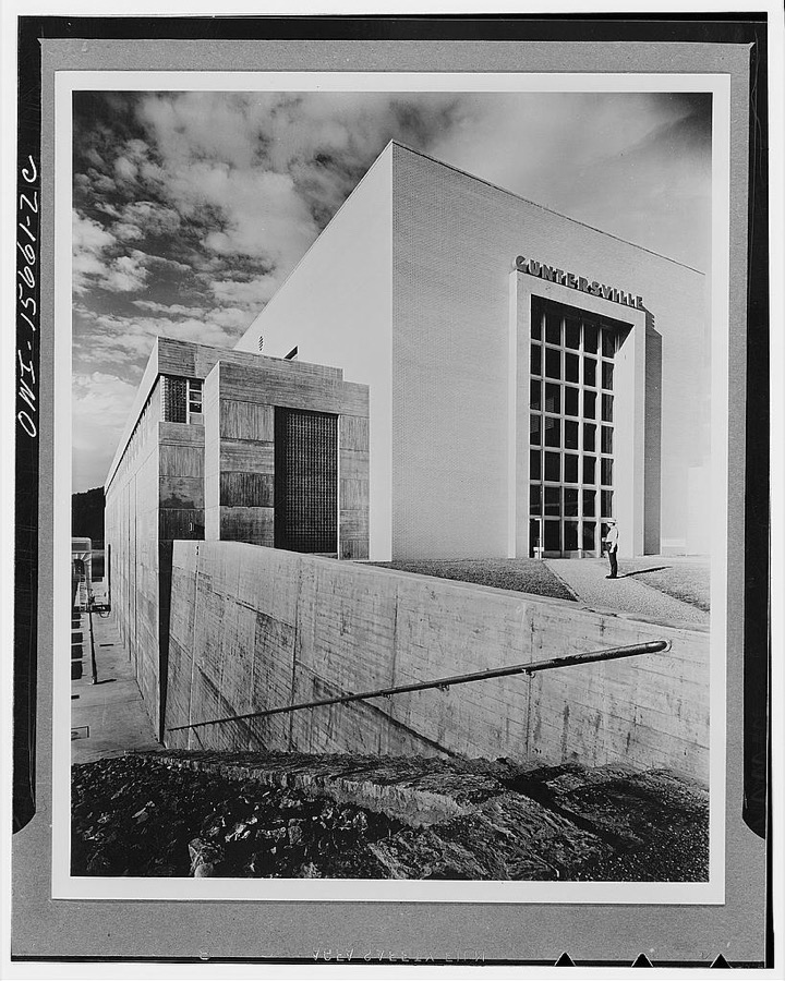
Photographer not recorded, 1933. Library of Congress
Every photograph of Marshall County
Fires near this place
64 since 1994Regional context, not property-specific evidence. The federal wildfire occurrence database lists 64 fires within 5 miles of Guntersville between 1994 and 2018, burning about 567 acres in total. 2 started naturally. 15 were recorded as arson. Distance is straight-line from the map coordinates, so a fire counted here may appear on a neighbouring settlement's page as well.
| Reported cause | Fires |
|---|---|
| Debris and open burning | 16 |
| Arson/incendiarism | 15 |
| Missing data/not specified/undetermined | 11 |
| Recreation and ceremony | 10 |
| Railroad operations and maintenance | 3 |
| Equipment and vehicle use | 3 |
| Smoking | 3 |
| Natural | 2 |
| Other causes | 1 |
The most recent of them, most recent first, with the day each was reported and the service that recorded it.
| Date | Cause | Size | Reported by | Name on the report |
|---|---|---|---|---|
| 7 September 2006 | Arson/incendiarism | 1.0 acres | Alabama Forestry Commission | not named |
| 6 September 2006 | Missing data/not specified/undetermined | 10 acres | Alabama Forestry Commission | not named |
| 6 September 1997 | Debris and open burning | 2.0 acres | Alabama Forestry Commission | not named |
| 4 September 2006 | Arson/incendiarism | 20 acres | Alabama Forestry Commission | not named |
| 30 September 2007 | Debris and open burning | under an acre | Alabama Forestry Commission | not named |
| 3 September 2006 | Arson/incendiarism | 10 acres | Alabama Forestry Commission | not named |
| 22 September 2015 | Other causes | 2.0 acres | Alabama Forestry Commission | NOR-20150922-002 |
| 28 August 2006 | Missing data/not specified/undetermined | 12 acres | Alabama Forestry Commission | not named |
Settlements close enough to share some of these fires:
Mines and quarries near this place
2 within 5 milesRegional context, not property-specific evidence. The federal mineral resources record lists 2 workings within 5 miles of Guntersville: 1 producer, 1 prospect. 1 still produces. What was taken out: Stone, Crushed/Broken, Clay. Distance is straight-line from the map coordinates, so a quarry counted here may appear on a neighbouring settlement's page as well.
| Where | Site | Commodity | Status | Recorded |
|---|---|---|---|---|
| Langford Mine and Mill | Stone, Crushed/Broken | Producer | ||
| Mal 1b Clay Prospect | Clay | Prospect |
Storms near this place
51 since 1994Regional context, not property-specific evidence. The National Weather Service names Guntersville in 51 storm reports between 1994 and 2025: 27 thunderstorm wind, 16 hail, 4 flash flood, 2 lightning. The reports record 30 injuries. Each account below is quoted exactly as the forecast office filed it, from the NOAA Storm Events Database, and each date opens the federal record of that event.
| When | Event | Place named | Harm | What the report says |
|---|---|---|---|---|
| March 1994 | Tornado (F2) | Guntersville | 30 hurt, $5,000,000 | A tornado travelled southwest to northeast across an area just south of the city of Guntersville. The tornado apparently began along Highway 79 South then cross Big Spring Creek damaging a number of residential structures along Spring Creek Drive. The tornado appeared to weaken, but was still strong enough to rip off the top part of the roof to the Marshall Nursing Home and damaging several houses near the entrance to Happy Home. It crossed U.S. Highway 431 near the high school taking out some trees on the side of the mountain and damaging a couple of homes. A total of 103 houses were damaged, 45 of them along Spring Creek Drive and eight along Highway 79 South. |
| June 1994 | Thunderstorm Wind | Guntersville | $500,000 | Thunderstorm wind caused extensive damage to trees which fell on and destroyed four campers at the Ossa-Win-Tha Resort on Lake Guntersville located northeast of Guntersville along Highway 79. The thunderstorm was moving from the east and the damage was confined to an small area immediately adjacent to the lake. |
| July 2012 | Thunderstorm Wind | Guntersville | $100,000 | Several strong thunderstorms merged and intensified around the southern portion of Guntersville lake. A microburst occurred, with the most significant damage occurring at the Claysville snack bar located along Highway 431, just south of the Highway 431/Highway 79 interchange. The small cinder block building with a relatively flat wood roof that was covered by sheet metal, was heavily damaged. The wind ripped the entire roof structure off and collapsed three of the four exterior walls. The debris was thrown downwind approximately 100 yards. The microburst had estimated maximum winds of 90 mph and appeared to initially be concentrated directly over the snack bar, with further damage moving away from this point. There was evidence of a 50 yard section of a chain link fence being bent foward and nearly uprooted by the damaging wind. The estimated length of this particular microburst was 0.6 miles. |A couple of blocks downstream and to the north and between Braswell road and a nearby marina, several medium sized trees were snapped midway down the tree, with smaller branches thrown around. There were also a few sproadic trees downed just northeast of the microburst location. |
| May 1997 | Flash Flood | Guntersville | $40,000 | Over 5 inches of rain fell over parts of the county causing storm drains to fill up quickly. Several roads were washed away and water businesses and homes had up to 1 1/2 feet of water in them. The fire station in Guntersville had several inches of water in the truck bay. |
| September 2013 | Thunderstorm Wind | Guntersville | $25,000 | A few trees were downed by thunderstorm winds and roofs were partially blown off of two homes from near the intersection of May and Siebold streets and Gunter Avenue, near Guntersville, Alabama. A church on Gunter Avenue near Guntersville, Alabama, also sustained minor roof damage due to a fallen tree. |
| March 2013 | Thunderstorm Wind | Guntersville | $20,000 | Numerous trees were downed by thunderstorm winds. |
| July 2012 | Thunderstorm Wind | Guntersville | $20,000 | Numerous trees were blown down by thunderstorm winds on the peninsula in the city of Guntersville, Alabama. |
| May 1997 | Hail | Guntersville | $15,000 | Golf ball sized hail covered the ground in Guntersville. The high school roof and parking lot were damaged with. The wheat crop was also damaged. |
| February 1999 | Lightning | Guntersville | $12,000 | Lightning struck a transformer and entered the Classic Car Wash. The lightning damaged heavy machinery and all the computer systems and electrical appliances. No injuries were reported. |
| July 2012 | Thunderstorm Wind | Guntersville | $10,000 | A few small trees were blown down by thunderstorm winds. |
| May 1998 | Thunderstorm Wind | Guntersville | $10,000 | Numerous trees were blown down near Claysville. |
| June 1995 | Thunderstorm Wind | Guntersville | $10,000 | What was described as a microburst occurred in the Pleasant Grove and Sims area of Marshall County just south of Guntersville downing trees and power lines. Several thousand customers in the southern portion of Marshall County were without power. Minor damage was done to several buildings including one barn was destroyed. |
| April 1998 | Hail | Guntersville | $10,000 | no account filed |
| January 1997 | Hail | Guntersville | $10,000 | no account filed |
| March 1997 | Thunderstorm Wind | Guntersville | $6,000 | no account filed |
| July 1999 | Lightning | Guntersville | $5,000 | Lightning struck a home in Guntersville and ignited a small fire. The home only received minor damage because the fire was put out quickly by the fire department. |
| July 1998 | Thunderstorm Wind | Guntersville | $5,000 | Several trees were down just west of the Guntersville State Park along SR 227. |
| August 2000 | Thunderstorm Wind | Guntersville | $3,000 | A few trees were knocked down in central Marshall County around Lake Guntersville and in the city of Guntersville. |
| May 2003 | Thunderstorm Wind | Guntersville | $2,000 | large tree fell on mobile home. |
| July 2001 | Thunderstorm Wind | Guntersville | $2,000 | A few trees and power lines were blown down in the city of Guntersville. Lightning from the storms caused numerous locations to be without power for several hours. |
| April 2000 | Hail | Guntersville | $2,000 | Quarter size hail was reported just southeast of Guntersville. |
| May 2025 | Thunderstorm Wind | Guntersville | $1,000 | Golf ball sized hail was reported at 1600 Gordon Street. |
| December 2025 | Thunderstorm Wind | Guntersville | $1,000 | A tree was reported down at the intersection of highway 227 and Gordon street. |
| February 2008 | Thunderstorm Wind | Guntersville | $1,000 | A tree was blown down on highway 227 toward the Guntersville state park. |
| May 2008 | Thunderstorm Wind | Guntersville | $500 | Severe thunderstorm winds knocked down a tree near Guntersville on highway 227. |
| May 2025 | Hail | Guntersville | - | Golf ball size hail was reported at 1600 Gordon Street in the Guntersville area. |
| April 2021 | Hail | Guntersville | - | Ping pong ball sized hail was reported in Guntersville. |
| March 2017 | Hail | Guntersville | - | One inch diameter hail was reported 2.2 miles southwest of Guntersville. |
| March 2017 | Hail | Guntersville | - | Golf ball sized hail was reported on the east side of Guntersville. |
| August 2015 | Thunderstorm Wind | Guntersville | - | A few trees, large limbs and power lines were downed by thunderstorm winds. |
| April 2012 | Hail | Guntersville | - | Nickel sized hail was reported. |
| April 2012 | Hail | Guntersville | - | Nickel sized hail was reported. |
| September 2011 | Flash Flood | Guntersville | - | Flash flooding occurred across the Guntersville area with several inches of water over several roads. |
| March 2010 | Funnel Cloud | Guntersville | - | A wall cloud was reported in Guntersville. |
| December 2008 | Thunderstorm Wind | Guntersville | - | Thunderstorm winds blew a tree down on a road in Alder Springs and another in Grant. Time estimated. |
| August 2007 | Thunderstorm Wind | Guntersville | - | Trees and street signs were blown down on Highway 227 in the northeastern section of Guntersville. |
| April 2006 | Thunderstorm Wind | Guntersville | - | A few trees and power lines were blown down by thunderstorm winds in the residential area on Buck Island, just east of the Guntersville airport. |
| May 2006 | Thunderstorm Wind | Guntersville | - | Trees were blown down. |
| April 2006 | Thunderstorm Wind | Guntersville | - | Several power lines and trees were blown down by thunderstorm winds. |
| April 2005 | Hail | Guntersville | - | Half dollar size hail was reported. |
| December 2004 | Thunderstorm Wind | Guntersville | - | A few trees were blown down by thunderstorm winds. |
| March 2004 | Flash Flood | Guntersville | - | Six to eight inches of water was reported over roads in Guntersville by Emergency Management. |
| July 2004 | Thunderstorm Wind | Guntersville | - | Several trees were blown down throughout portions of the county due to a line of severe thunderstorms moving south into north Alabama out of southern middle Tennessee. |
| July 2004 | Hail | Guntersville | - | Penny size hail reported at a technical school along U.S. Highway 431. |
| July 2004 | Thunderstorm Wind | Guntersville | - | A few trees were blown down by thunderstorm winds along Highway 69. |
| October 2004 | Flash Flood | Guntersville | - | Several inches of water was over County Road 205 and Highway 431 in Guntersville. |
| April 2003 | Hail | Guntersville | - | Quarter size hail reported. |
| May 2003 | Hail | Guntersville | - | quarter size hail reported |
| May 2003 | Hail | Guntersville | - | nickel size hail reported. |
| June 2003 | Thunderstorm Wind | Guntersville | - | large tree and power lines down. |
| August 2002 | Hail | Guntersville | - | Quarter size hail was observed along US 431 in northern Marshall County. |
Nearest settlements
The eight closest, with where each one stands in the county. Distances are straight-line, computed from the Geographic Names Information System coordinates.
| Map | Place | Distance | Sheets |
|---|---|---|---|
| Southtown | 1.0 miles | 22 | |
| Wyeth City | 1.1 miles | 22 | |
| Guntersville Shores | 1.5 miles | 22 | |
| Rayburn | 1.6 miles | 22 | |
| Mill Village | 1.7 miles | 22 | |
| Hide Away Acres | 2.0 miles | 22 | |
| Morrow Acres | 2.1 miles | 22 | |
| Lakeview | 2.4 miles | 22 |
Elsewhere
Matched on this settlement's Geographic Names Information System number rather than its name, so it cannot be a different place of the same name in another state.
| Wikipedia article on Guntersville | An encyclopaedic summary. Its text is share-alike, so it is linked here rather than copied. |
| Wikidata item Q79556 | The structured record the population and elevation above come from. Public domain (CC0). |
Provenance
This settlement is recorded in the Geographic Names Information System as feature 157977. The sheet list is computed by point-in-boundary test against the United States Geological Survey's historical topographic inventory. Both are works of the United States government and carry no copyright under 17 U.S.C. 105.
Wildfire. Short, Karen C. 2022. Spatial wildfire occurrence data for the United States, 1992-2020 [FPA_FOD_20221014]. 6th Edition. Fort Collins, CO: Forest Service Research Data Archive. https://doi.org/10.2737/RDS-2013-0009.6 Collected with United States Government funding and usable without additional permissions or fees.
Mines and quarries. USGS Mineral Resources Data System (MRDS) https://mrdata.usgs.gov/mrds/ A work of the United States government, no copyright under 17 U.S.C. 105.
Storms. NOAA National Centers for Environmental Information, Storm Events Database https://www.ncei.noaa.gov/stormevents/ A work of the United States government, no copyright under 17 U.S.C. 105. Narratives are quoted verbatim from the National Weather Service report and are not edited or summarised.