 Block
Haden, Alabama
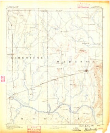
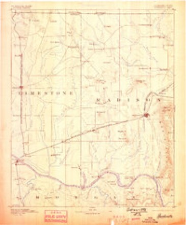
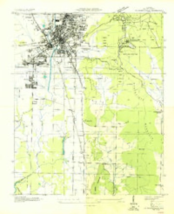
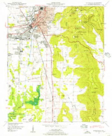
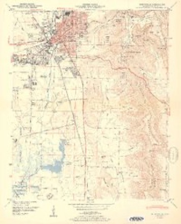
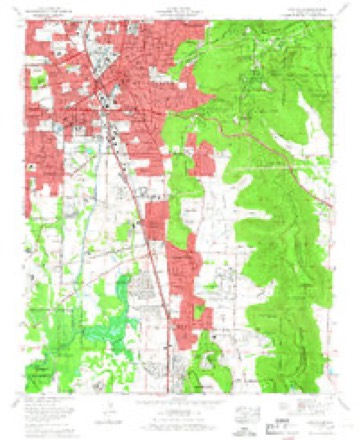
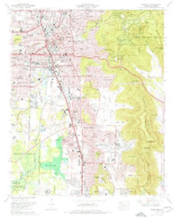
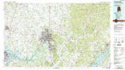
25 topographic sheets cover this place, the earliest surveyed in 1888 and the latest in 1984. It stands in the Gurley census division. It lies in ZIP code area 35741. It lies near Hale Hollow. The Survey maps it on the Huntsville quadrangle.
Topographic sheets covering this place
12 surveys from 25 printed sheetsMatched by testing this settlement's coordinate against the published boundary of every sheet in the United States Geological Survey's historical collection. Each opens the scanned sheet at the Survey.
- 1888 USGS Huntsville quadrangle1:125000
- 1892 USGS Huntsville quadrangle1:125000, 6 printings
- 1936 USGS Huntsville quadrangle1:24000
- 1948 USGS Huntsville quadrangle1:24000
- 1950 USGS Huntsville quadrangle1:24000, 2 printings
- 1956 USGS Gadsden quadrangle1:250000, 3 printings
- 1958 USGS Gadsden quadrangle1:250000
- 1960 USGS Gadsden quadrangle1:250000, 2 printings
- 1963 USGS Gadsden quadrangle1:250000
- 1964 USGS Huntsville quadrangle1:24000
- 1975 USGS Huntsville quadrangle1:24000, 3 printings
- 1984 USGS Huntsville quadrangle1:100000, 3 printings




Fires near this place
17 since 1994Regional context, not property-specific evidence. The federal wildfire occurrence database lists 17 fires within 5 miles of Haden between 1994 and 2016, burning about 41 acres in total. None started naturally. 2 were recorded as arson. Distance is straight-line from the map coordinates, so a fire counted here may appear on a neighbouring settlement's page as well.
| Reported cause | Fires |
|---|---|
| Debris and open burning | 10 |
| Missing data/not specified/undetermined | 3 |
| Arson/incendiarism | 2 |
| Railroad operations and maintenance | 1 |
| Smoking | 1 |
The most recent of them, most recent first, with the day each was reported and the service that recorded it.
| Date | Cause | Size | Reported by | Name on the report |
|---|---|---|---|---|
| 9 September 1998 | Debris and open burning | 1.0 acres | Alabama Forestry Commission | not named |
| 25 August 2003 | Smoking | under an acre | Alabama Forestry Commission | HWY 72, AL |
| 6 June 2011 | Debris and open burning | 7.0 acres | Alabama Forestry Commission | 592 SATTLE TRACE LANE, AL |
| 20 June 2011 | Debris and open burning | 1.5 acres | Alabama Forestry Commission | 80 WILLIAM E. HILL DR., AL |
| 4 March 2011 | Arson/incendiarism | 5.0 acres | Alabama Forestry Commission | KINGSBRIGDE RD, AL |
| 26 March 1995 | Debris and open burning | 2.0 acres | Alabama Forestry Commission | not named |
| 25 February 1994 | Railroad operations and maintenance | under an acre | Alabama Forestry Commission | not named |
| 20 February 2011 | Debris and open burning | 5.0 acres | Alabama Forestry Commission | 4455 FRANKFURT ROAD, AL |
Settlements close enough to share some of these fires:
Mines and quarries near this place
1 within 5 milesRegional context, not property-specific evidence. The federal mineral resources record lists 1 working within 5 miles of Haden: 1 producer. All of them still produce. What was taken out: Clay. Distance is straight-line from the map coordinates, so a quarry counted here may appear on a neighbouring settlement's page as well.
| Where | Site | Commodity | Status | Recorded |
|---|---|---|---|---|
| Wheeler Lake Mine | Clay | Producer |
Storms near this place
17 since 2008Regional context, not property-specific evidence. The National Weather Service names Haden in 17 storm reports between 2008 and 2025: 10 thunderstorm wind, 5 hail, 1 flash flood, 1 tornado. No death or injury is recorded in these reports. Each account below is quoted exactly as the forecast office filed it, from the NOAA Storm Events Database, and each date opens the federal record of that event.
| When | Event | Place named | Harm | What the report says |
|---|---|---|---|---|
| August 2024 | Thunderstorm Wind | Haden | $10,000 | Social media photos indicated damage near the the intersection Miller Lane and Paul Drive. At this location, several trees were uprooted, one snapped and several large branches broken. Also, a roof was partially damaged. Time was estimated from radar. |
| April 2025 | Thunderstorm Wind | Haden | $2,000 | Power lines were knocked down at 4102 Piedmont Drive. |
| August 2023 | Thunderstorm Wind | Haden | $1,000 | Several tree limbs were knocked down and siding was damaged at a home at this location. |
| June 2022 | Thunderstorm Wind | Haden | $500 | A tree was knocked down at the intersection of Carl T. Jones and Garth Roads. Time estimated by radar. |
| June 2017 | Thunderstorm Wind | Haden | $500 | A large tree was knocked down in Jones Valley. |
| July 2020 | Thunderstorm Wind | Haden | $200 | A tree was knocked down in the 1700 block of Drake Avenue Southeast. |
| July 2020 | Thunderstorm Wind | Haden | $200 | A tree was knocked down at this location. |
| June 2017 | Thunderstorm Wind | Haden | $200 | A tree was knocked down near the intersection of Highway 431 and Dug Hill Road. |
| June 2017 | Thunderstorm Wind | Haden | $200 | A tree was knocked down on the road at Macon Circle in Huntsville. |
| May 2025 | Hail | Haden | - | Baseball sized hail was reported near Southwood Church along Carl T. Jones Drive. |
| May 2025 | Hail | Haden | - | Golf ball sized hail was reported along Drake Road in southeast Huntsville. |
| July 2023 | Tornado (EF1) | Haden | - | The tornado initially touched down northwest of Highway 431 in Hampton Cove along Paul Drive off of Old Big Cove Road. It skipped south and east as it crossed Highway 431 at Hampton Cove Cemetery, causing sporadic tree and limb damage. From there the tornado moved southeast as it approached Old Highway 431, crossing portions of the Robert Trent Jones Golf Trail at Hampton Cove. Sporadic tree damage was noted along Masters Drive, Augusta Trace, and Hampton Cove Way into the main entrance of the neighborhood on the Bypass. Trees were snapped and uprooted at this location near the waterfall at the entrance to the subdivision, and tornado width was estimated at about 40 yards. From here, the tornado continued southeast across mainly rural portions of the golf course as it approached Old Highway 431 heading to Cherry Tree. Trees were downed at the ball fields at this location, before the tornado strengthened as it approached homes further down Cherry Tree Road. A home suffered damage when trees were blown down onto the structure, as well as trees snapped near the bases at this location. The tornado was at its strongest at this location, with 93 mph wind speeds and a width of 50 yards as it snapped the trees about 2-5 feet from their bases. From this point, the tornado produced sporadic tree damage following Goose Creek along Cherry Tree Road. The last noted damage occurred near the intersection of Cherry Tree Road and Old Gurley Pike. |
| May 2020 | Thunderstorm Wind | Haden | - | Trees were uprooted or snapped. |
| August 2017 | Flash Flood | Haden | - | Huntsville Police reporting that part of the road was washing away on Highway 431 Southbound just South of Dug Hill Road with water overtopping the retaining wall. |
| August 2008 | Hail | Haden | - | A COCORAHS station reported nickel size hail in southeast Huntsville. |
| March 2008 | Hail | Haden | - | Nickel sized hail was reported around a mile southeast of Haden. |
| August 2008 | Hail | Haden | - | A severe thunderstorm produced hail golf ball size hail at the intersection of Airport Road and Whitesburg Drive. |
Nearest settlements
The eight closest, with where each one stands in the county. Distances are straight-line, computed from the Geographic Names Information System coordinates.
| Map | Place | Distance | Sheets |
|---|---|---|---|
| Ryland Acres | 1.2 miles | 25 | |
| Big Cove | 1.7 miles | 22 | |
| Walker Woods | 1.9 miles | 25 | |
| Dug Hill | 1.9 miles | 22 | |
| Huntsville Hills | 2.3 miles | 25 | |
| Ridgewood | 2.3 miles | 25 | |
| Double Tree | 2.6 miles | 25 | |
| Greenwycke Village | 2.6 miles | 25 |
Provenance
This settlement is recorded in the Geographic Names Information System as feature 156442. The sheet list is computed by point-in-boundary test against the United States Geological Survey's historical topographic inventory. Both are works of the United States government and carry no copyright under 17 U.S.C. 105.
Wildfire. Short, Karen C. 2022. Spatial wildfire occurrence data for the United States, 1992-2020 [FPA_FOD_20221014]. 6th Edition. Fort Collins, CO: Forest Service Research Data Archive. https://doi.org/10.2737/RDS-2013-0009.6 Collected with United States Government funding and usable without additional permissions or fees.
Mines and quarries. USGS Mineral Resources Data System (MRDS) https://mrdata.usgs.gov/mrds/ A work of the United States government, no copyright under 17 U.S.C. 105.
Storms. NOAA National Centers for Environmental Information, Storm Events Database https://www.ncei.noaa.gov/stormevents/ A work of the United States government, no copyright under 17 U.S.C. 105. Narratives are quoted verbatim from the National Weather Service report and are not edited or summarised.