 Block
Heron Bay, Alabama
24 topographic sheets cover this place, the earliest surveyed in 1921 and the latest in 1984. It stands in the Bayou La Batre census division. It lies in ZIP code area 36523. It lies near Mon Louis Island. The Survey maps it on the Heron Bay quadrangle. It stands 10 feet above sea level.
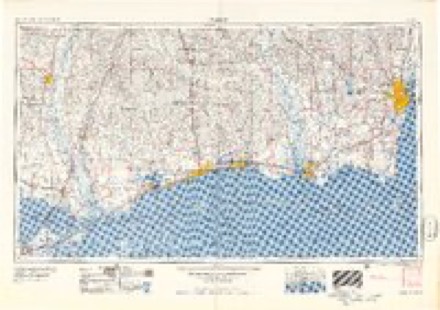
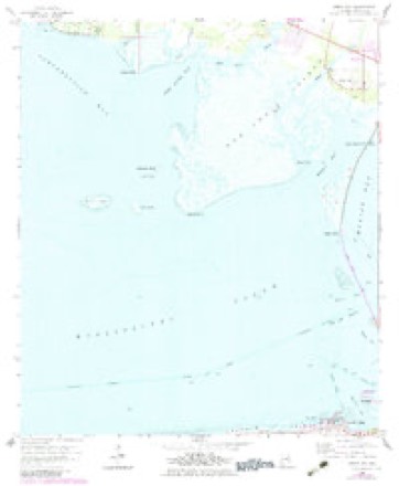
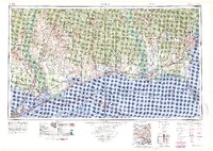
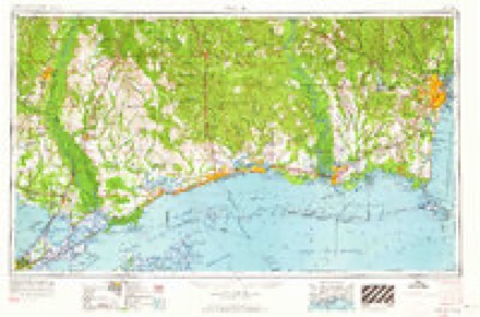
Topographic sheets covering this place
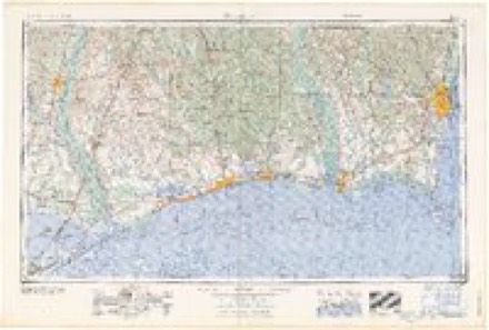
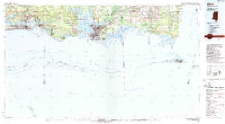
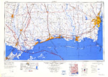
11 surveys from 24 printed sheetsMatched by testing this settlement's coordinate against the published boundary of every sheet in the United States Geological Survey's historical collection. Each opens the scanned sheet at the Survey.
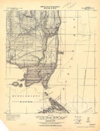
- 1921 USGS Delchamps quadrangle1:62500
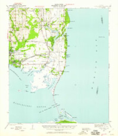
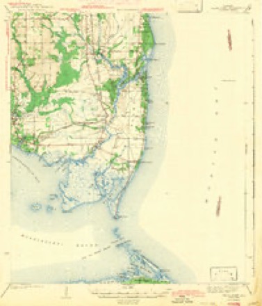
- 1941 USGS Cedar Point quadrangle1:62500, 2 printings
- 1943 USGS Cedar Point quadrangle1:62500, 4 printings
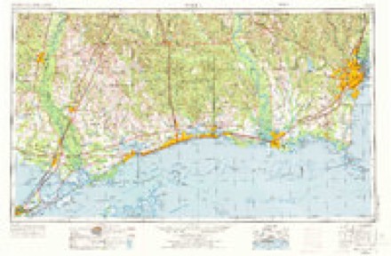
- 1953 USGS Mobile quadrangle1:250000, 3 printings
- 1957 USGS Mobile quadrangle1:250000, 3 printings
- 1958 USGS Heron Bay quadrangle1:24000, 3 printings
- 1960 USGS Mobile quadrangle1:250000
- 1963 USGS Mobile quadrangle1:250000
- 1965 USGS Mobile quadrangle1:250000
- 1982 USGS Biloxi quadrangle1:100000, 2 printings
- 1984 USGS Mobile quadrangle1:250000, 3 printings
Fires near this place
206 since 1992Regional context, not property-specific evidence. The federal wildfire occurrence database lists 206 fires within 5 miles of Heron Bay between 1992 and 2020, burning about 9,978 acres in total. 1 started naturally. 124 were recorded as arson. Distance is straight-line from the map coordinates, so a fire counted here may appear on a neighbouring settlement's page as well.
| Reported cause | Fires |
|---|---|
| Arson/incendiarism | 124 |
| Missing data/not specified/undetermined | 43 |
| Debris and open burning | 29 |
| Equipment and vehicle use | 6 |
| Railroad operations and maintenance | 3 |
| Natural | 1 |
The most recent of them, most recent first, with the day each was reported and the service that recorded it.
| Date | Cause | Size | Reported by | Name on the report |
|---|---|---|---|---|
| 9 September 2005 | Arson/incendiarism | 30 acres | Alabama Forestry Commission | not named |
| 7 September 2019 | Missing data/not specified/undetermined | 500 acres | Alabama Forestry Commission | 20190907-4 |
| 7 September 2015 | Natural | 1,594 acres | Alabama Forestry Commission | SWR-20150907-003 |
| 7 September 1995 | Debris and open burning | 15 acres | Alabama Forestry Commission | not named |
| 4 September 2004 | Arson/incendiarism | 45 acres | Alabama Forestry Commission | not named |
| 30 September 2010 | Arson/incendiarism | 75 acres | Alabama Forestry Commission | not named |
| 30 September 2006 | Arson/incendiarism | 14 acres | Alabama Forestry Commission | not named |
| 20 September 2005 | Arson/incendiarism | 2.0 acres | Alabama Forestry Commission | not named |
Settlements close enough to share some of these fires:
Storms near this place
5 since 1996Regional context, not property-specific evidence. The National Weather Service names Heron Bay in 5 storm reports between 1996 and 2021: 1 waterspout, 1 flash flood, 1 flood, 1 thunderstorm wind. The reports record 1 injury. Each account below is quoted exactly as the forecast office filed it, from the NOAA Storm Events Database, and each date opens the federal record of that event.
| When | Event | Place named | Harm | What the report says |
|---|---|---|---|---|
| June 2021 | Tornado (EF0) | Heron Bay | 1 hurt | An EF-0 tornado, with maximum estimated winds of 85 mph, moved across Cedar Point Pier. The pier suffered damage to some railings and light poles. A large metal storage unit was lifted and moved ten feet, heavily damaging the structure. A utility pole was also knocked over. A 2x4 board was launched through the window of a pickup truck. The occupant of the truck suffered minor injuries. The end point is an estimation as the tornado could have continued to the north. However, given this area is marsh, the survey team was not able to find a definitive end point. |
| April 2015 | Flash Flood | Heron Bay | $200,000 | A series of slow moving thunderstorms resulted in excessive rainfall and flash flooding over southern Mobile County. Numerous locations across the area reported rainfall totals in excess of 7 inches, with a few locations west of Tillmans Corner receiving just under 11 inches of rain. The highest rainfall report received was 10.94 inches from a CoCoRAHS observer 4 miles west northwest of Tillmans Corner. Mobile Regional Airport recorded a daily rainfall record of 7.28 inches for April 12th, with the majority of the rainfall occurring during the evening hours. ||This copious rainfall in a short duration resulted in flash flooding and the closure of numerous roads. A portion of Halls Mill Rd was covered by nearly 6 feet of water. A person had to be rescued from a vehicle on McDonald Rd near Interstate 10. Another vehicle was submerged on Old Pascagoula Rd near McDonald Rd. A portion of Warren Creek Rd was washed out in Grand Bay. Several other roads across southern Mobile County experienced 2 to 3 feet of water flowing over them during the height of the event. |
| June 2017 | Thunderstorm Wind | Heron Bay | $5,000 | A severe thunderstorm downed trees across Highway 188 near Dauphin Island Parkway. |
| April 2015 | Flood | Heron Bay | - | Widespread inundation persisted across southern Mobile County in the wake of the flash flood event. Numerous roads remained closed through midday, with water receding by early afternoon. By mid to late afternoon, all roads that were not damaged from the flash flood were reopened. |
| August 1996 | Waterspout | Heron Bay | - | no account filed |
Nearest settlements
The eight closest, with where each one stands in the county. Distances are straight-line, computed from the Geographic Names Information System coordinates.
| Map | Place | Distance | Sheets |
|---|---|---|---|
| Alabama Port | 1.0 miles | 24 | |
| Delchamps | 3.3 miles | 24 | |
| Nelson | 5.1 miles | 24 | |
| Faustinas | 5.6 miles | 25 | |
| Kirewakra | 6.0 miles | 24 | |
| Coden | 6.1 miles | 24 | |
| Mon Louis | 6.1 miles | 25 | |
| Dauphin Island | 6.9 miles | 24 |
Elsewhere
Matched on this settlement's Geographic Names Information System number rather than its name, so it cannot be a different place of the same name in another state.
| Wikidata item Q5743457 | The structured record the population and elevation above come from. Public domain (CC0). |
Provenance
This settlement is recorded in the Geographic Names Information System as feature 119994. The sheet list is computed by point-in-boundary test against the United States Geological Survey's historical topographic inventory. Both are works of the United States government and carry no copyright under 17 U.S.C. 105.
Wildfire. Short, Karen C. 2022. Spatial wildfire occurrence data for the United States, 1992-2020 [FPA_FOD_20221014]. 6th Edition. Fort Collins, CO: Forest Service Research Data Archive. https://doi.org/10.2737/RDS-2013-0009.6 Collected with United States Government funding and usable without additional permissions or fees.
Storms. NOAA National Centers for Environmental Information, Storm Events Database https://www.ncei.noaa.gov/stormevents/ A work of the United States government, no copyright under 17 U.S.C. 105. Narratives are quoted verbatim from the National Weather Service report and are not edited or summarised.