 Block
Hodge, Alabama
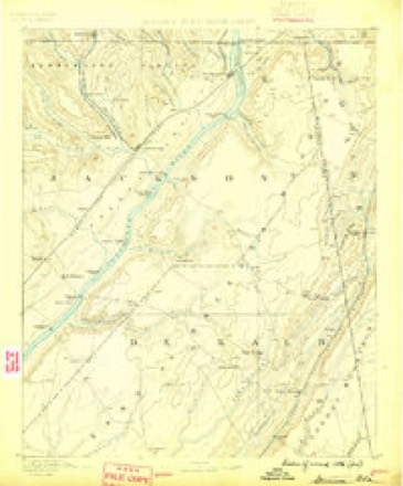
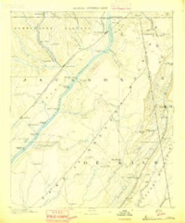
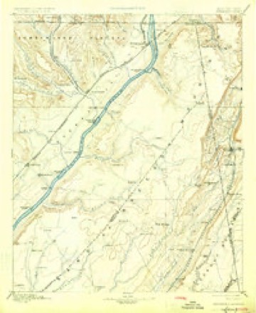
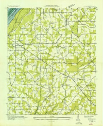
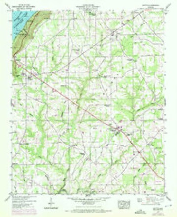
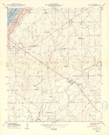
21 topographic sheets cover this place, the earliest surveyed in 1886 and the latest in 1981. It stands in the Section census division. It lies in ZIP code area 35744. The Survey maps it on the Dutton quadrangle.
Topographic sheets covering this place
11 surveys from 21 printed sheetsMatched by testing this settlement's coordinate against the published boundary of every sheet in the United States Geological Survey's historical collection. Each opens the scanned sheet at the Survey.
- 1886 USGS Stevenson quadrangle1:125000
- 1892 USGS Stevenson quadrangle1:125000
- 1895 USGS Stevenson quadrangle1:125000, 6 printings
- 1936 USGS Dutton quadrangle1:24000
- 1947 USGS Dutton quadrangle1:24000, 2 printings
- 1950 USGS Dutton quadrangle1:24000, 2 printings
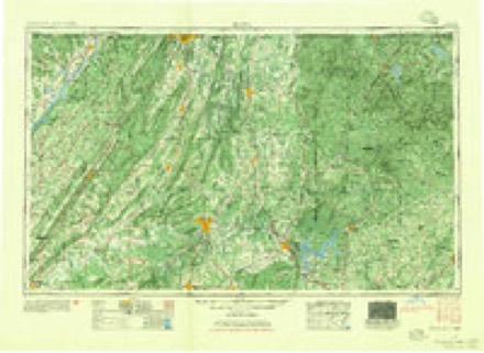
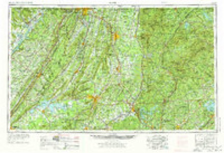
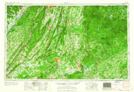
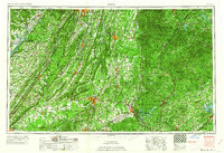
- 1955 USGS Rome quadrangle1:250000
- 1958 USGS Rome quadrangle1:250000, 3 printings
- 1961 USGS Rome quadrangle1:250000
- 1963 USGS Rome quadrangle1:250000
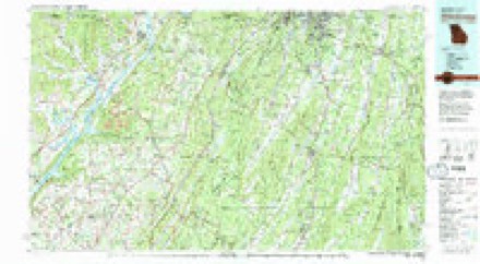
- 1981 USGS Chickamauga quadrangle1:100000, 2 printings
Fires near this place
100 since 1994Regional context, not property-specific evidence. The federal wildfire occurrence database lists 100 fires within 5 miles of Hodge between 1994 and 2019, burning about 1,080 acres in total. None started naturally. 21 were recorded as arson. Distance is straight-line from the map coordinates, so a fire counted here may appear on a neighbouring settlement's page as well.
| Reported cause | Fires |
|---|---|
| Debris and open burning | 38 |
| Missing data/not specified/undetermined | 30 |
| Arson/incendiarism | 21 |
| Equipment and vehicle use | 3 |
| Recreation and ceremony | 3 |
| Smoking | 3 |
| Misuse of fire by a minor | 1 |
| Power generation/transmission/distribution | 1 |
The most recent of them, most recent first, with the day each was reported and the service that recorded it.
| Date | Cause | Size | Reported by | Name on the report |
|---|---|---|---|---|
| 6 September 2010 | Debris and open burning | 18 acres | Alabama Forestry Commission | not named |
| 5 September 2010 | Missing data/not specified/undetermined | 18 acres | Alabama Forestry Commission | not named |
| 20 September 2016 | Equipment and vehicle use | 4.0 acres | Alabama Forestry Commission | 20160920-1 |
| 20 September 2010 | Debris and open burning | 2.0 acres | Alabama Forestry Commission | not named |
| 19 September 2019 | Debris and open burning | 4.0 acres | Alabama Forestry Commission | 20190919-26 |
| 15 September 2016 | Debris and open burning | under an acre | Alabama Forestry Commission | 20160915-14 |
| 15 September 1999 | Missing data/not specified/undetermined | 1.0 acres | Alabama Forestry Commission | not named |
| 15 September 1998 | Debris and open burning | under an acre | Alabama Forestry Commission | not named |
Settlements close enough to share some of these fires:
Storms near this place
21 since 2009Regional context, not property-specific evidence. The National Weather Service names Hodge in 21 storm reports between 2009 and 2026: 18 thunderstorm wind, 1 tornado, 1 flood, 1 flash flood. The reports record 6 deaths. Each account below is quoted exactly as the forecast office filed it, from the NOAA Storm Events Database, and each date opens the federal record of that event.
| When | Event | Place named | Harm | What the report says |
|---|---|---|---|---|
| April 2011 | Tornado (EF4) | Hodge | 6 killed | A violent long track tornado began it's life about 3 miles northeast of Section producing damage of EF-0 to EF-1 intensity with peak wind speeds of 70 to 90 mph, snapping or uprooting several softwood and hardwood trees. The tornado rapidly intensified and began producing high end EF-3 to low end EF-4 damage within a matter of minutes, with peak wind speeds of 150 to 170 mph, and a path width of 1/2 to 3/4 mile as it roared into areas northeast of Pisgah and north of Rosalie. Residents interviewed remarked that up to 3 tornadoes merged into one very large tornado. There was evidence of this in the damage swath.||The tornado swarmed several mobile homes and block foundation homes in its path, snapping or uprooting thousands of trees. Numerous trees were debarked in the process. The tornado leveled at least 2 mobile homes and swept their remains hundreds of yards downwind. Three were killed in 3 separate residences (6 total fatalities - 2 in Pisgah and 4 in the Higdon/Flat Rock communities). Several vehicles were launched or swept several yards in different directions, in a few cases up to 50 yards. The Friendship Church roof was heavily damaged. Several farms were also affected, with barns and chicken houses heavily damaged or destroyed.||As the tornado continued its path, it intensified further on approach to Flat Rock and Higdon, producing damage of high end EF-4 intensity with peak winds up to 190 mph. The tornado killed three from the same family at a residence southwest of Flat Rock. The tornado mowed thousands in up to a 3/4 mile wide path. One well-built block foundation home literally exploded as the tornado struck, lifting and sweeping all its structure and contents downwind, in some cases several hundred yards. Miraculously, a mother and 3 children taking refuge in a hallway were completely unharmed. At this farm, all fencing was destroyed and up to 19 cattle perished. Two chicken barns were completely obliterated and swept away and unidentifiable. A propane tank was lifted from the previous location of chicken barns and dropped over 100 yards away in front of the destroyed home. |
| April 2026 | Thunderstorm Wind | Hodge | $5,000 | At 713 Clemons Road, a tree was uprooted and a couple of trees were snapped. |
| October 2009 | Thunderstorm Wind | Hodge | $3,000 | Trees were blown down on Gant road. |
| May 2024 | Thunderstorm Wind | Hodge | $2,000 | Two large trees were knocked down onto CR 67, about 3/4 mile west of Alabama Highway 35. Time estimated by radar. |
| April 2026 | Thunderstorm Wind | Hodge | $1,000 | A tree was uprooted at 843 Campground Circle. |
| April 2026 | Thunderstorm Wind | Hodge | $1,000 | At 50 Clemons Road, a tree was knocked down into the roadway. |
| April 2026 | Thunderstorm Wind | Hodge | $1,000 | A tree was knocked down at 50 River Ridge Circle in Scottsboro. |
| May 2025 | Thunderstorm Wind | Hodge | $1,000 | A tree was reported across both lanes on CR 390 in the Dutton area. Time was estimated from radar. |
| May 2025 | Thunderstorm Wind | Hodge | $1,000 | A tree was reported down across the road at 7000 Highway 35. |
| May 2025 | Thunderstorm Wind | Hodge | $1,000 | A tree was reported down at 38 Cherokee road in Scottsboro. Time was estimated from radar. |
| December 2025 | Thunderstorm Wind | Hodge | $1,000 | A tree was reported down at 3000 Lakeshore Drive. |
| July 2023 | Thunderstorm Wind | Hodge | $500 | Large tree limbs were knocked down a window was blown out in the 2900 block of CR 19 in Dutton. |
| April 2020 | Thunderstorm Wind | Hodge | $200 | A tree was knocked down across the roadway on Clemons Road. |
| June 2018 | Thunderstorm Wind | Hodge | $200 | A tree was knocked down onto Highway 35 near Section. |
| June 2018 | Thunderstorm Wind | Hodge | $200 | A tree was knocked down at CR 124 and CR 390. |
| May 2024 | Flash Flood | Hodge | - | Six to eight inches of water flowing over Clemons Road in Scottsboro. |
| February 2020 | Flood | Hodge | - | EMA reports 3-6 inches of water covering the road at the intersection of Hwy 35 and Hwy 40. |
| April 2020 | Thunderstorm Wind | Hodge | - | Trees were knocked down on Highway 40 along the side of Sand Mountain. Time estimated by radar. |
| August 2019 | Thunderstorm Wind | Hodge | - | Several trees were knocked down onto CR 156 in the Section area. Time estimated by radar. |
| June 2018 | Thunderstorm Wind | Hodge | - | Trees were snapped and uprooted on Lake Shore Drive in Scottsboro. |
| May 2010 | Thunderstorm Wind | Hodge | - | A large oak tree was uprooted on Clemons road in Scottsboro. The tree was approximately 3 to 4 feet in diameter a it's trunks. |
Nearest settlements
The eight closest, with where each one stands in the county. Distances are straight-line, computed from the Geographic Names Information System coordinates.
| Map | Place | Distance | Sheets |
|---|---|---|---|
| Ferncliff (historical) | 1.0 miles | 21 | |
| Dutton | 1.8 miles | 21 | |
| Section | 3.4 miles | 21 | |
| Gray (historical) | 3.9 miles | 23 | |
| Index (historical) | 3.9 miles | 23 | |
| Roseberry | 4.2 miles | 21 | |
| Lakeview Shores | 4.3 miles | 20 | |
| Bowman Crossroads | 5.1 miles | 22 |
Provenance
This settlement is recorded in the Geographic Names Information System as feature 156486. The sheet list is computed by point-in-boundary test against the United States Geological Survey's historical topographic inventory. Both are works of the United States government and carry no copyright under 17 U.S.C. 105.
Wildfire. Short, Karen C. 2022. Spatial wildfire occurrence data for the United States, 1992-2020 [FPA_FOD_20221014]. 6th Edition. Fort Collins, CO: Forest Service Research Data Archive. https://doi.org/10.2737/RDS-2013-0009.6 Collected with United States Government funding and usable without additional permissions or fees.
Storms. NOAA National Centers for Environmental Information, Storm Events Database https://www.ncei.noaa.gov/stormevents/ A work of the United States government, no copyright under 17 U.S.C. 105. Narratives are quoted verbatim from the National Weather Service report and are not edited or summarised.