 Block
From the record
12 National Register listings published here.
Sources: the National Register database, National Park Service
165 topographic sheets and 14 fire insurance atlases across 3 places.
12 National Register listings published here.
Sources: the National Register database, National Park Service
Taken for the Office of War Information and the Farm Security Administration, who photographed the country between 1935 and 1944. Works of United States government photographers, with no known restriction on use. Each opens its catalogue record.
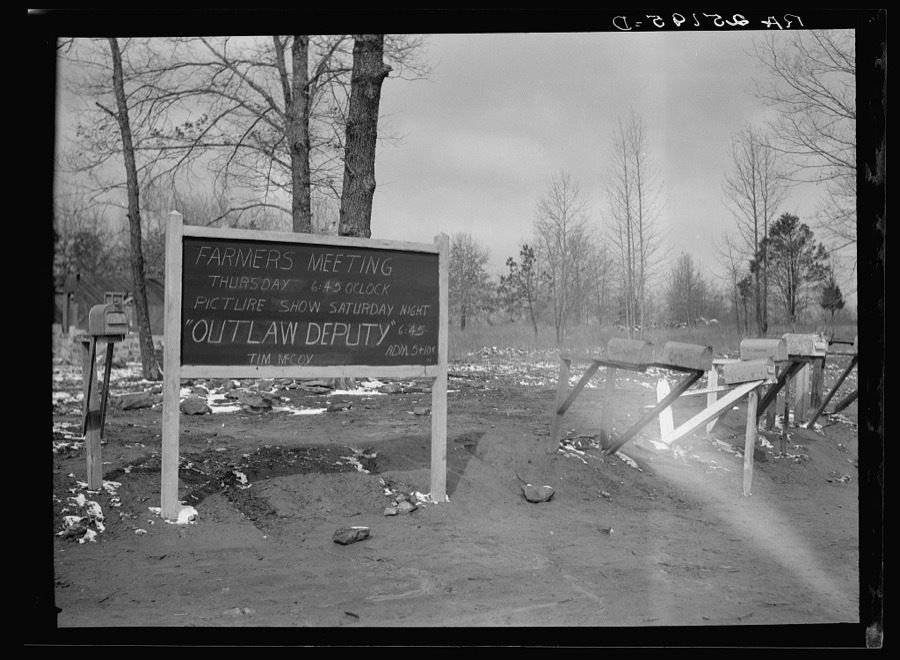
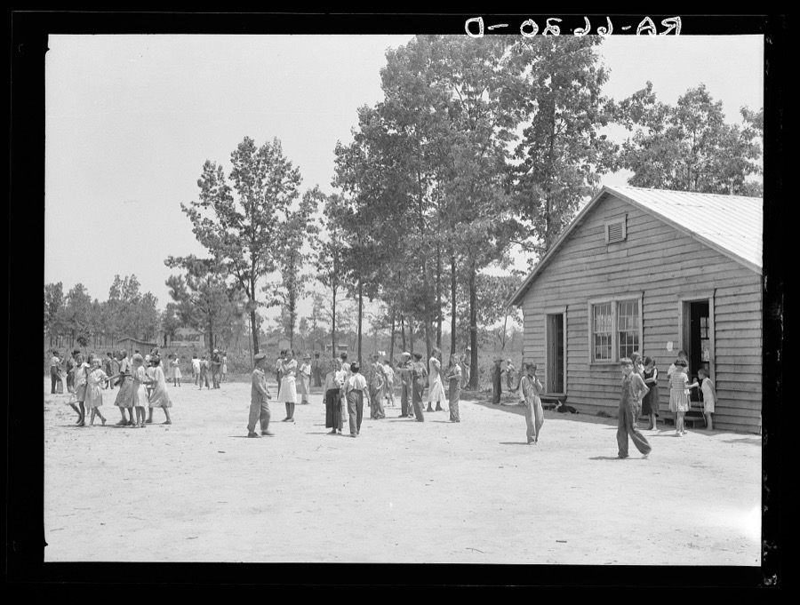

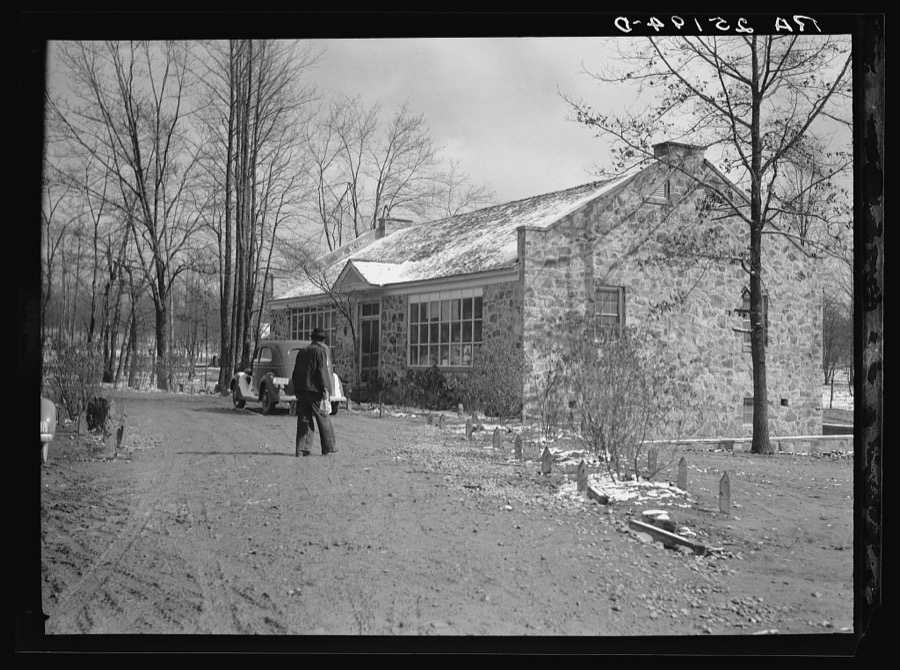
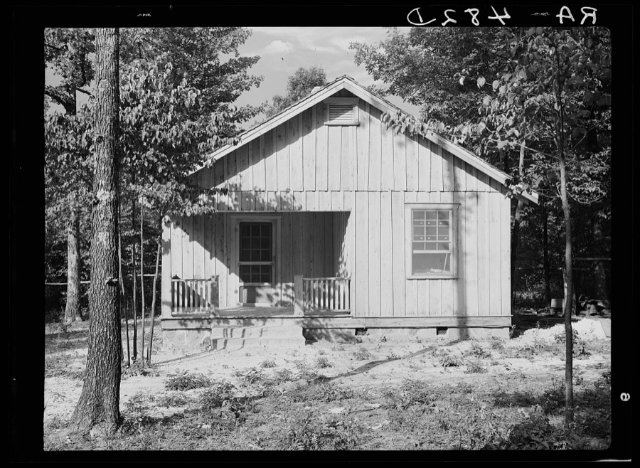
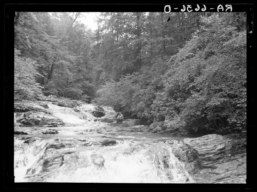
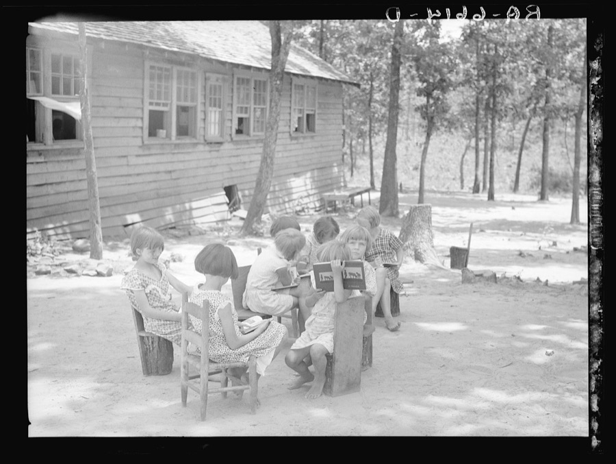

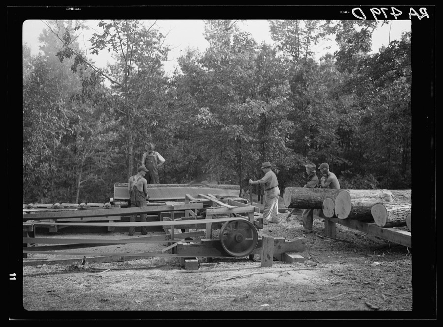

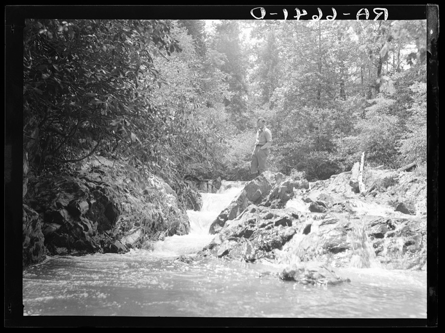
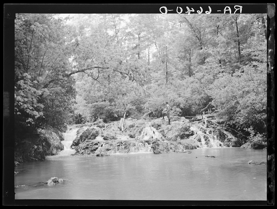
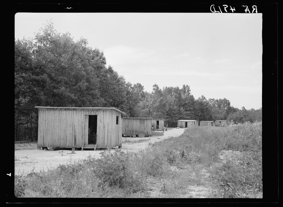

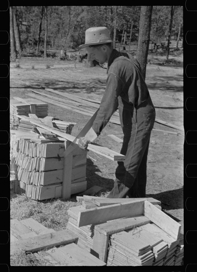
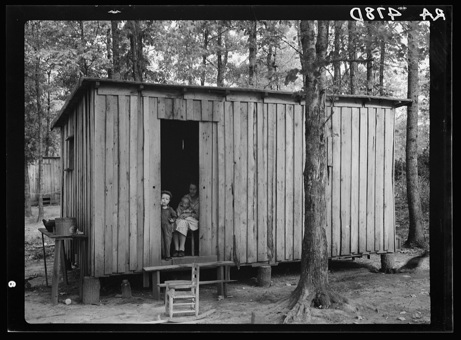

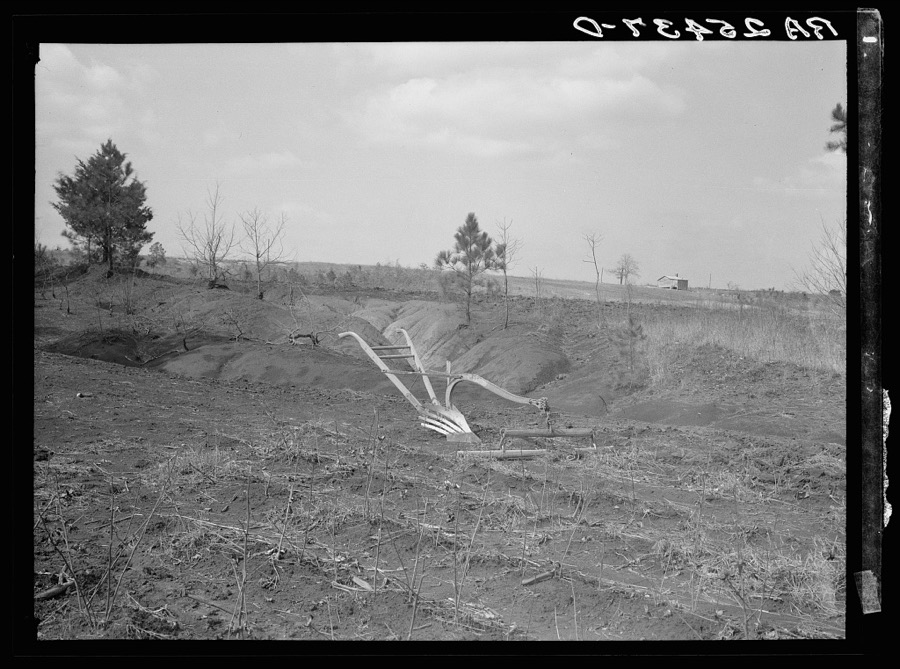


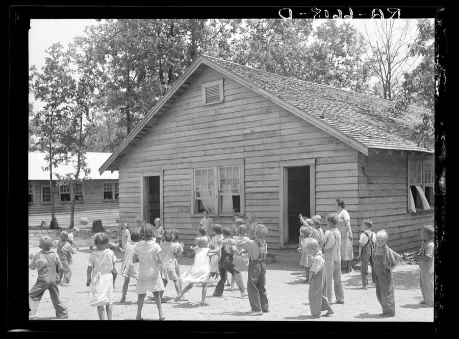
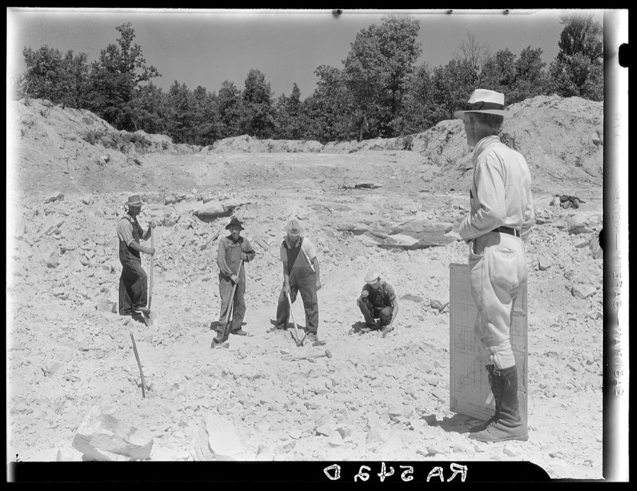
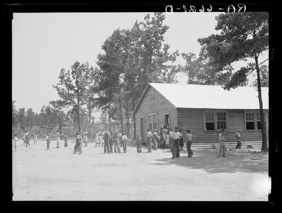
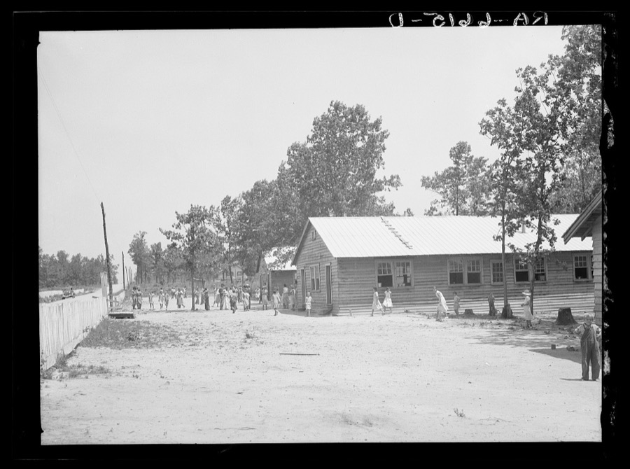
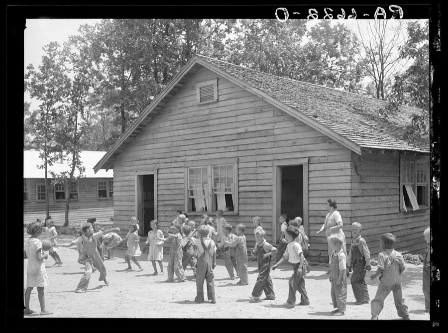

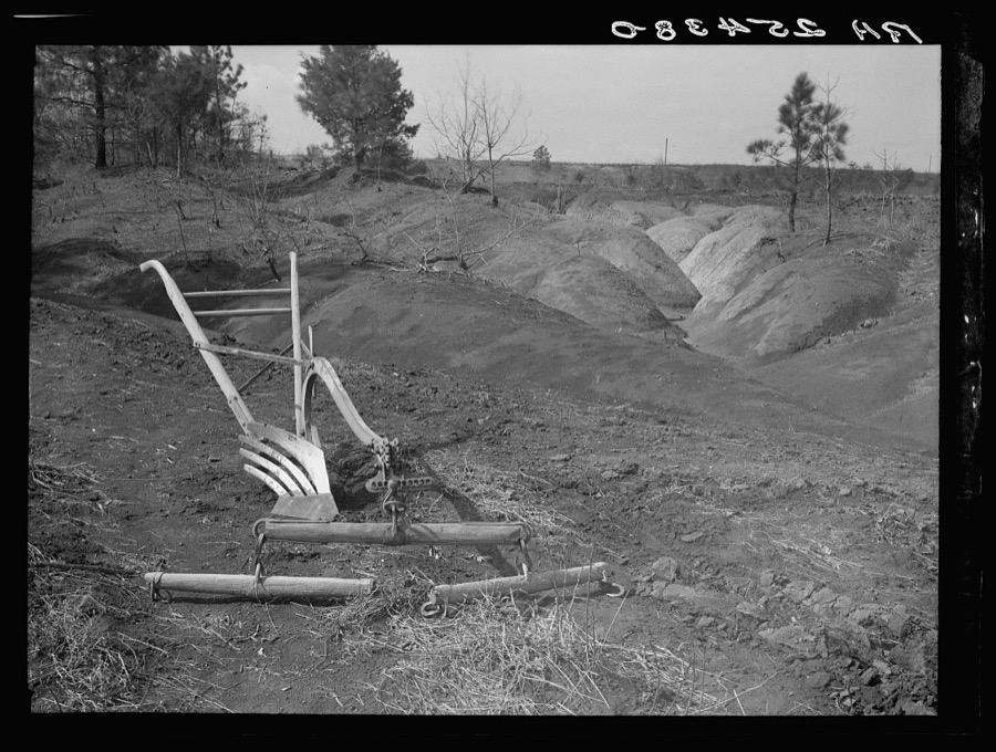
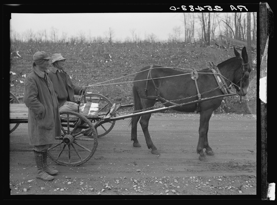
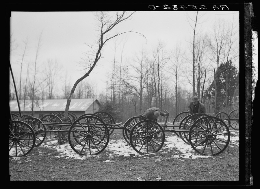



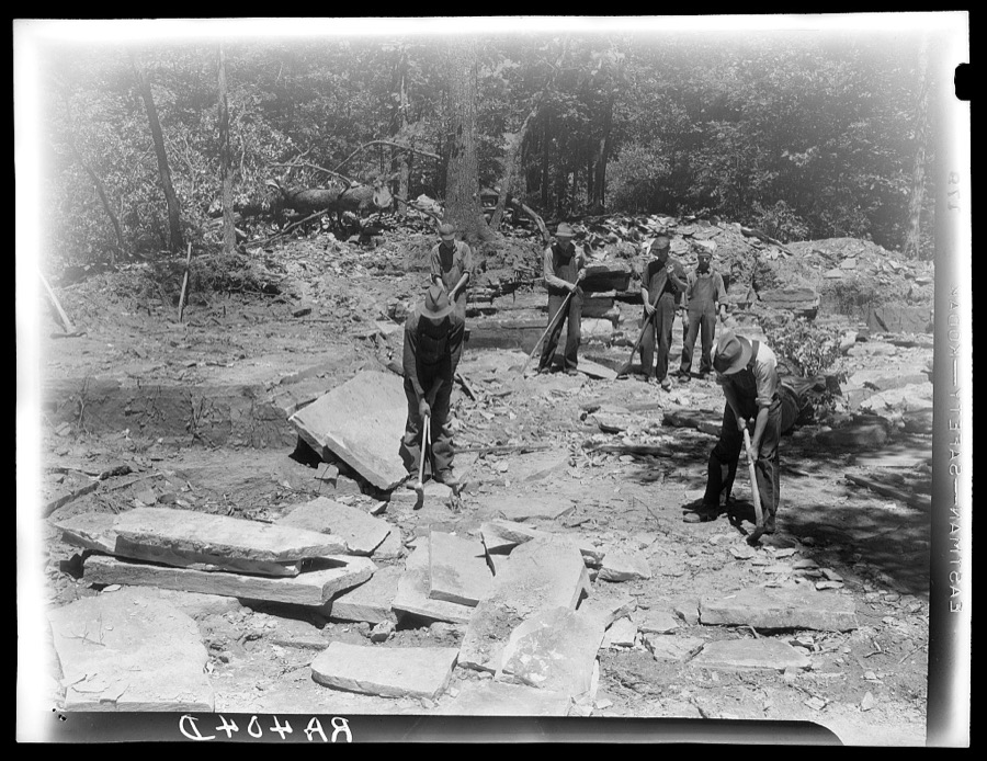
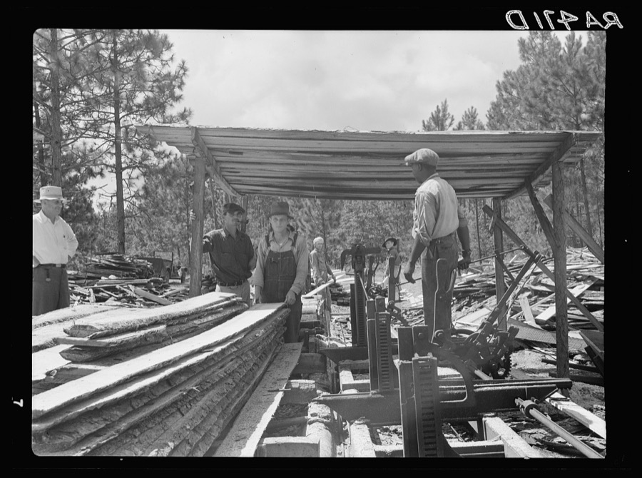
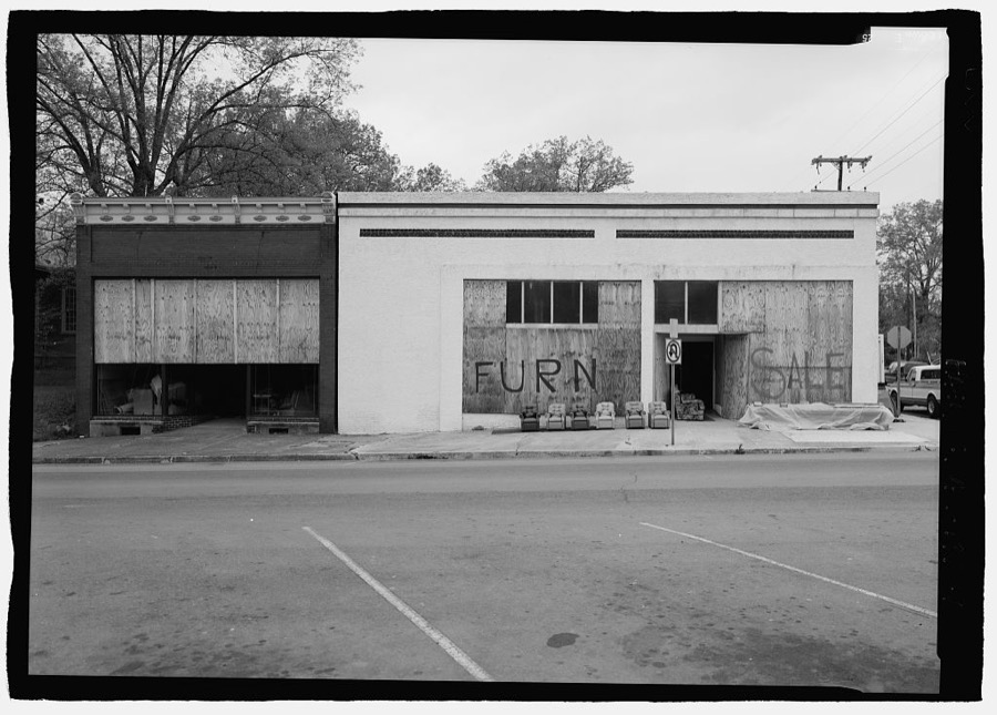

Every property in this county listed on the National Register of Historic Places, with the year it was listed and the federal nomination document.
| Photograph | Property | Type | Listed | Reference |
|---|---|---|---|---|
 | Bridgeport Historic District | district | 2002 | 02000479 |
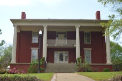 | Brown-Proctor House | building | 1982 | 82002036 |
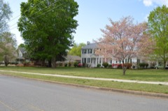 | College Hill Historic District | district | 1983 | 83002970 |
| Fort Harker | site | 1977 | 77000205 | |
 | Public Square Historic District | district | 1982 | 82002037 |
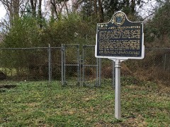 | Gen. William Rosecrans Headquarters | building | 1978 | 78000490 |
 | Russell Cave National Monument | site | 1966 | 66000150 |
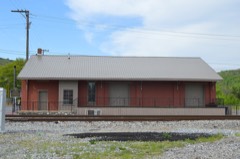 | Scottsboro Memphis and Charleston Railroad Depot | building | 1998 | 98000107 |
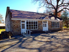 | Skyline Commissary | building | 2013 | 13000365 |
| Stevenson Historic District | district | 1978 | 78000491 | |
| Stevenson Railroad Depot and Hotel | building | 1976 | 76000329 | |
| Townsend Farmhouse | building | 2005 | 05000838 |
Drawn when these were printed as single large sheets: the town seen from the air, and the county divided into its farms with every owner named. Each opens the original at the Library of Congress.

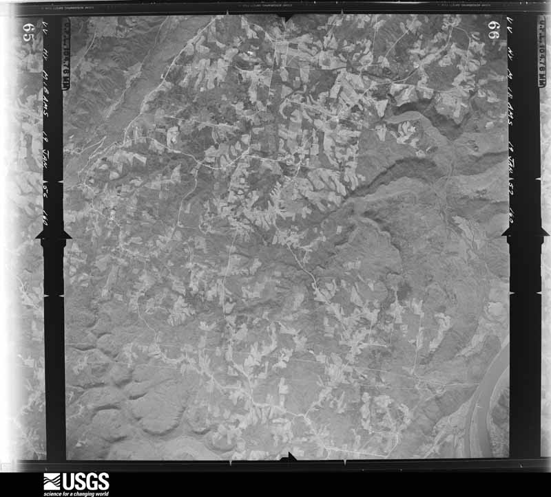
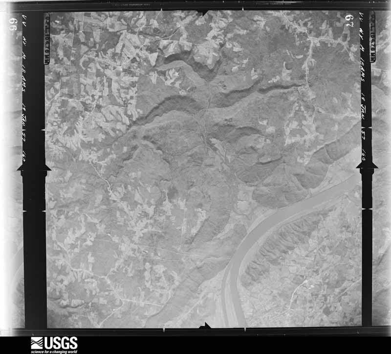
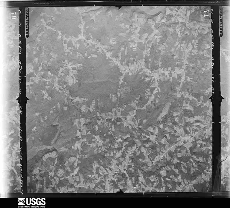
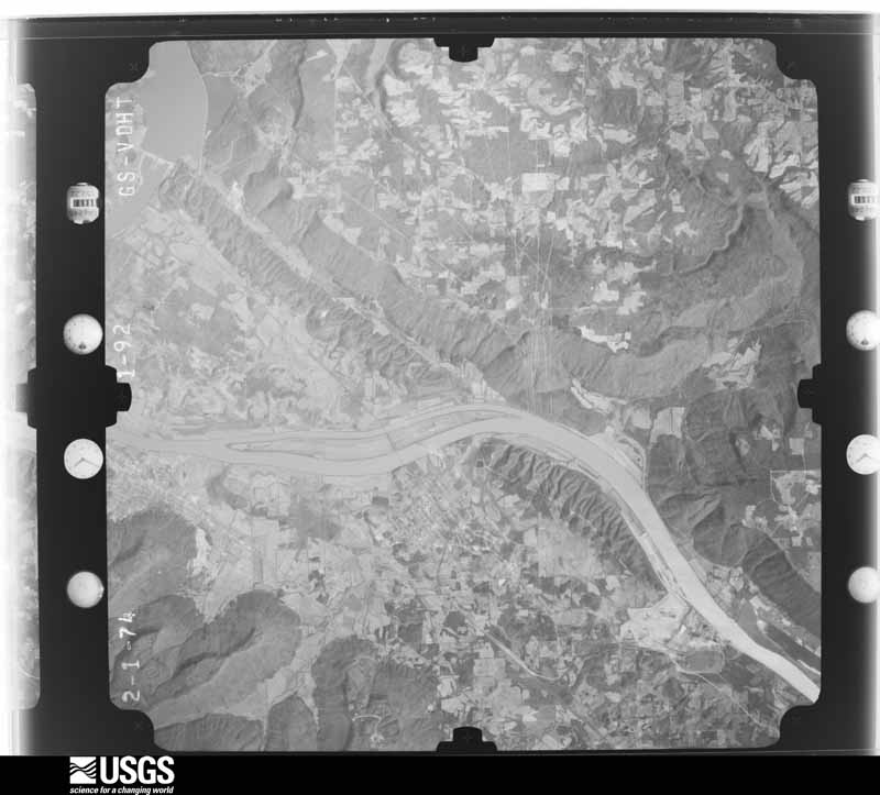
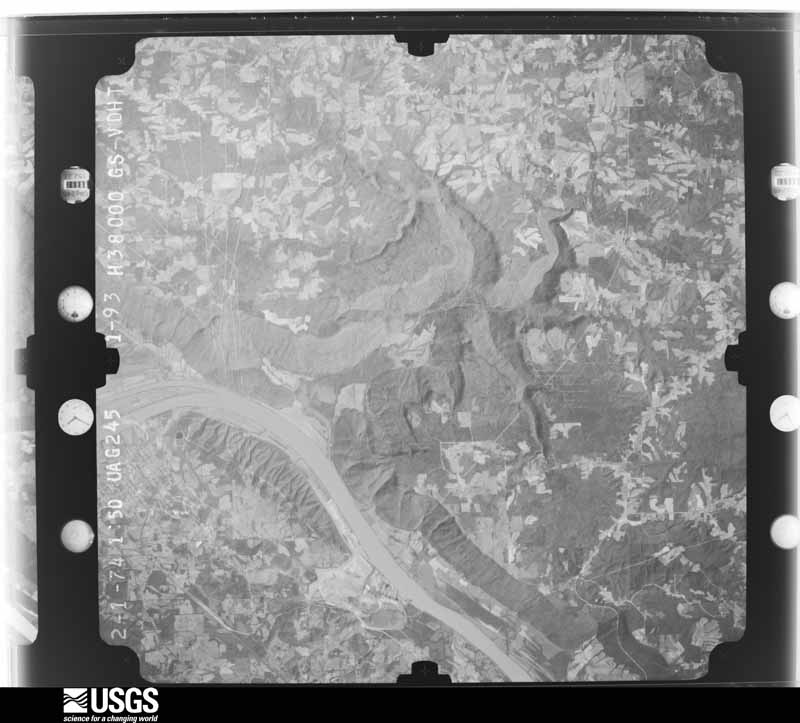
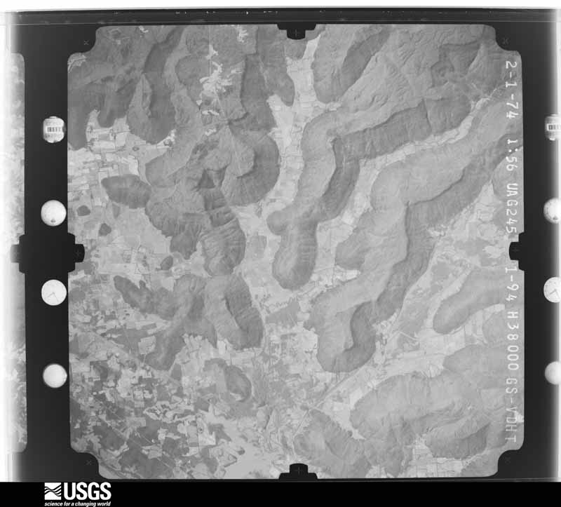
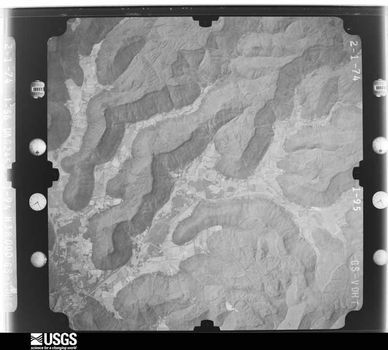
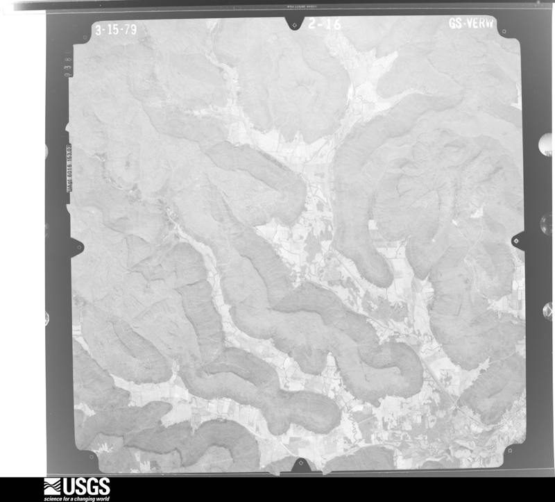
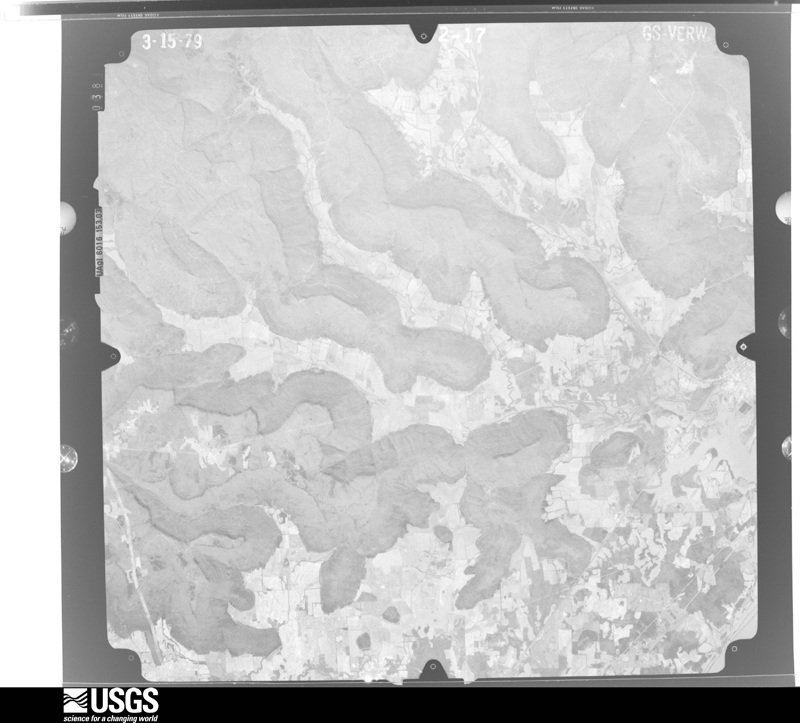
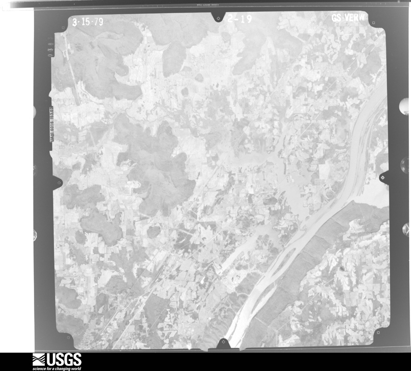
Flown by the U.S. Geological Survey between 1937 and 1989, the Aerial Photo Single Frames collection is the definitive mid-century view of the land: fields, roads and rivers as the camera saw them. The Survey holds 517 frames inside the rectangle that bounds this county; the 23 frames below were taken over the county itself, chosen across the decades of flights (at most four a year from that rectangle), so one flight cannot crowd out the rest. The full set is free to browse and download at EarthExplorer under the dataset Aerial Photo Single Frames.













The thermometers that kept this county's weather, and the gages that measured the flow of its streams, as the federal records hold them. The extremes below are measured values from those records, not estimates.
Who lived here in 1950, one enumeration district at a time, as the Census Bureau described each district. Each row opens its official National Archives result, with Population Schedules and ED Maps available there.
Every wildfire the federal occurrence database records inside this county: 784 of them, burning about 18,424 acres. 1 started naturally and 246 were recorded as arson. Each settlement page carries the fires within five miles of it.
| Reported cause | Fires |
|---|---|
| Debris and open burning | 280 |
| Arson/incendiarism | 246 |
| Missing data/not specified/undetermined | 188 |
| Equipment and vehicle use | 24 |
| Recreation and ceremony | 23 |
| Smoking | 13 |
| Misuse of fire by a minor | 6 |
| Power generation/transmission/distribution | 2 |
| Other causes | 1 |
| Natural | 1 |
The five largest, by the area the report gives. Two of them were set deliberately.
| Date | Cause | Size | Reported by | Name on the report |
|---|---|---|---|---|
| 24 March 2007 | Debris and open burning | 1,010 acres | Alabama Forestry Commission | STEVENSON |
| 8 November 2001 | Missing data/not specified/undetermined | 856 acres | Alabama Forestry Commission | not named |
| 24 March 2004 | Missing data/not specified/undetermined | 833 acres | Tennessee Division of Forestry | KEITH SPRINGS FIRE |
| 15 September 1999 | Debris and open burning | 700 acres | Alabama Forestry Commission | not named |
| 16 April 2010 | Debris and open burning | 510 acres | Alabama Forestry Commission | not named |
| 4 April 2004 | Debris and open burning | 510 acres | Alabama Forestry Commission | JACKSON |
| 30 March 2006 | Arson/incendiarism | 500 acres | Alabama Forestry Commission | not named |
| 9 March 2007 | Arson/incendiarism | 400 acres | Alabama Forestry Commission | LIBERTY HILL |
Every settlement page carries the fires within five miles of it - see the settlement index below.
The NOAA Storm Events Database holds 948 reports for this county, causing 13 deaths, 55 injuries and about $27,021,900 in recorded property damage. Each settlement page carries the reports that name it.
| Kind of event | Reports |
|---|---|
| Thunderstorm Wind | 648 |
| Hail | 133 |
| Tornado | 64 |
| Flash Flood | 53 |
| Flood | 29 |
| Lightning | 10 |
| Heavy Rain | 10 |
| Funnel Cloud | 1 |
The most serious of them, by death, then injury, then recorded damage. The accounts are quoted exactly as the forecast office filed them.
| When | Event | Place named | Harm | What the report says |
|---|---|---|---|---|
| April 2011 | Tornado (EF4) | Hodge | 6 killed | A violent long track tornado began it's life about 3 miles northeast of Section producing damage of EF-0 to EF-1 intensity with peak wind speeds of 70 to 90 mph, snapping or uprooting several softwood and hardwood trees. The tornado rapidly intensified and began producing high end EF-3 to low end EF-4 damage within a matter of minutes, with peak wind speeds of 150 to 170 mph, and a path width of 1/2 to 3/4 mile as it roared into areas northeast of Pisgah and north of Rosalie. Residents interviewed remarked that up to 3 tornadoes merged into one very large tornado. There was evidence of this in the damage swath.||The tornado swarmed several mobile homes and block foundation homes in its path, snapping or uprooting thousands of trees. Numerous trees were debarked in the process. The tornado leveled at least 2 mobile homes and swept their remains hundreds of yards downwind. Three were killed in 3 separate residences (6 total fatalities - 2 in Pisgah and 4 in the Higdon/Flat Rock communities). Several vehicles were launched or swept several yards in different directions, in a few cases up to 50 yards. The Friendship Church roof was heavily damaged. Several farms were also affected, with barns and chicken houses heavily damaged or destroyed.||As the tornado continued its path, it intensified further on approach to Flat Rock and Higdon, producing damage of high end EF-4 intensity with peak winds up to 190 mph. The tornado killed three from the same family at a residence southwest of Flat Rock. The tornado mowed thousands in up to a 3/4 mile wide path. One well-built block foundation home literally exploded as the tornado struck, lifting and sweeping all its structure and contents downwind, in some cases several hundred yards. Miraculously, a mother and 3 children taking refuge in a hallway were completely unharmed. At this farm, all fencing was destroyed and up to 19 cattle perished. Two chicken barns were completely obliterated and swept away and unidentifiable. A propane tank was lifted from the previous location of chicken barns and dropped over 100 yards away in front of the destroyed home. |
| November 2016 | Tornado (EF2) | Roslie | 3 killed | Sporadic damage was first observed along CR-71, north of Pisgah with much more widespread tree and structure damage observed CR-71 and CR-60, entering into Rosalie, where the tornado was suspected to touch down. Numerous hardwood and pine softwood trees were observed to be uprooted or snapped along with several wooden power line poles snapped. As the tornado moved east-northeast, nearly on top of CR-71, roof damage was reported to a brick church. Additionally, a large two story wooden structure (used for church related receptions) was heavily damaged. Damage indicators for that structure were related to a small barn. EF-1 damage was recorded for the area around the church with winds approximately 100 mph.||EF-2 damage was observed nearly one quarter mile further ENE along CR-71. A long, one story strip mall was destroyed (Rosalie Plaza Grocery). The assessment team noted that the roof was not strapped down and that cinder blocks were only held together by mortar. It was determined that the tornado likely blew the roof off the structure which quickly led to the block walls to collapse. Winds of 125 mph were estimated.||Additional EF-2 damage was reported one quarter to one third mile further ENE along CR-71. Several mobile homes, with at least one mobile home noted to have been tied down, were completely destroyed. Three fatalities were reported from this section of damage. Additionally, numerous softwood trees were either uprooted or snapped along with several wooden power poles snapped. |
| February 2008 | Tornado (EF4) | Pisgah | 1 killed, 12 hurt | Representatives from the National Weather Service and the Jackson County Emergency Management Agency conducted a storm survey of damage that occurred in Jackson County, Alabama early in the morning of February 6, 2008.||The damage was determined to originate from a strong tornado, which at its peak had winds of at least 180 MPH, giving it a rating of EF-4 on the Enhanced Fujita Scale. The most significant damage occurred at the corner of County Road 60 and 177, between the Rosalie and Pisgah communities in eastern Jackson County. This is also approximately the location where one fatality occurred. Trees along the tornado path were snapped and in some cases shredded, several houses were swept from their foundations, and a large section of a chicken house collapsed. Several large hay bales (weighing 2,500 pounds) were blown apart or tossed around. |
| August 2001 | Lightning | Bryant | 1 killed, 4 hurt | A minor traffic accident occurred on SR 73 in Bryant. A group of three fire fighters and two other men were standing next to the accident scene when lightning struck a tree nearby. One man in his 60's was killed and four others received injuries of varying intensity. |
| April 2011 | Tornado (EF1) | Section | 1 killed | A tornado of EF-1 intensity produced wind speeds of up to 110 mph. The tornado touched down just south of Section, crossing State Highway 35, then traveling nearly parallel to State Highway 71, through Dutton, into southern portions of of Pisgah before crossing into far northern DeKalb County. The tornado uprooted and snapped numerous trees along its path, knocking out power in many locations. One fatality occurred in the Pisgah area associated with this tornado.||The tornado took a very similar track to a violent tornado of EF-4 intensity later during the afternoon of the 27th. This made it very difficult to distinguish damage between the two tornadoes. Several eyewitnesses remarked about the morning tornado location and damages. |
| April 2011 | Tornado (EF4) | Fackler | 1 killed | A violent tornado touched down northeast of Fackler along County Road 42 where several large trees were snapped and minor damage occurred to mobile homes. The tornado continued east-northeast producing tree damage as it crossed U.S. Highway 72 near the intersection of State Highway 117. On Oak Hill Road just east of Highway 72, large trees were snapped and several roofs were damaged. On County Road 286, a trailer was tipped over and a shed was partially destroyed.||The tornado continued northeast producing heavy tree damage. The tornado produced EF-3 damage along County Road 96 just northeast of the Stevenson Airport, where 24 high tension electrical truss towers were twisted and flattened. Just south of the intersection of County Road 96 and State Highway 277, a mobile home was obliterated and another home collapsed. Two other homes sustained structural damage along this section of road, two mobile homes were rolled on their side, and a metal barn was destroyed.||The tornado continued northeast and at the intersection of County Roads 255 and 256, the most significant damage was encountered and rated EF-4. A residence just to the south of this intersection was reduced to its foundation. A concrete slab at the front of the home was pulled up, and a set of concrete stairs was ripped from the foundation. A compact car was thrown about 50 yards.||To the northeast of the intersection, two well-built and well-anchored homes were also reduced to their foundations. A car was thrown approximately 50 yards across the street from one residence. Several large trees were snapped off a few feet above the ground. A third residence along County Road 256 had zero walls left standing. Across the street from this home, a mobile home was completely demolished and strewn along County Road 256.||The tornado continued northeastward, destroying a cinder block garage and damaging a mobile home along 6th Street just southeast of Bridgeport. The tornado crossed the Tennessee River, producing significant tree damage along County Road 91 before crossing into Marion County in Tennessee. |
| May 1973 | Tornado (F2) | not stated | 9 hurt, $2,500,000 | no account filed |
| May 2024 | Tornado (EF3) | Pisgah | 7 hurt, $4,500,000 | A tornado touched down on Highway 71 in Jackson County, snapping hard and softwood trees to begin its path. The tornado continued between County Roads 425 and 322, producing minor damage to the roof of a small farm building. The tornado then overturned a camper along County Road 422 requiring hospitalization including one experiencing blunt force trauma and another being a pregnant female. Five others with minor injuries were treated on the scene. Also at this location, a well-built home was partially destroyed. A mobile home was moved off its foundation here as well, with a third of the roof of a hay barn and a horse trailer destroyed. Projectiles were found in the field across the street from this home, with 2x4s impaled a foot to 18 in the ground at this location. Further south and east along State Road 40, large 100+ year old oak trees that were 4-5 foot in diameter were blown down onto a house, collapsing two exterior walls. Windows were sucked out at this location as well prior to the trees falling when the tornado passed just north of the house. Up the street, a well-built home sustained major damage when the tornado ripped the garage off of the house and sheared it to the north and east into the rest of the dwelling. EF-2 wind speeds of 135 mph were noted at this location.||Widespread fallen trees south of State Road 40 were noted and surveyors found damage indicators and degrees of damage consistent with EF-3 (140 mph) tornado damage. The tornado was the strongest and widest at this point along the path, at 880 yards or around 1/2 mile. Along County Road 125, a well built shop building was completely destroyed. The metal building structure was well-anchored with H-beams anchored with large bolts and plates at the bases to the foundation. The bolts were snapped and severely bent, along with the plates. On one corner, a large 4-5 foot section of the foundation was ripped off the ground and strewn about 10 feet away with the column anchoring still intact. A 20,000 pound 18-wheeler cab was tossed more than 150 yards into the field across County Road 125. Other nearby semi-trailers that were parked on the property were strewn in the same direction as well, though most were shifted 50-100 feet. The tornado then proceeded into DeKalb County. |
| April 1974 | Tornado (F3) | not stated | 4 hurt, $2,500,000 | no account filed |
| May 1973 | Tornado (F2) | not stated | 4 hurt, $250,000 | no account filed |
| March 2003 | Tornado (F1) | Flat Rock | 3 hurt, $300,000 | F1 tornado (100 mph) winds damaged three mobile homes, 11 homes and four businesses from the Rosalie to Flat Rock communities. |
| April 1965 | Tornado (F3) | not stated | 2 hurt, $250,000 | no account filed |
| August 2005 | Thunderstorm Wind | Scottsboro | 2 hurt, $100,000 | A downburst struck the Jackson County Park Campground. Several trees and power poles were blown down. A few of the trees fell onto occupied campers resulting in minor injuries to two individuals. |
| March 1996 | Tornado (F1) | Pisgah | 2 hurt, $85,000 | no account filed |
| April 1977 | Tornado (F2) | not stated | 1 hurt, $250,000 | no account filed |
| July 2000 | Thunderstorm Wind | Countywide | 1 hurt, $25,000 | Numerous trees and power lines were knocked down throughout the county. Near Scottsboro, a woman suffered minor injuries when a Bradford Pear tree broke and fell on her as she walked from her house to her car. Several locations reported roads blocked by fallen trees, and many customers were without power for several hours. |
| July 2009 | Thunderstorm Wind | Skyline | 1 hurt, $10,000 | A Tree was blown down onto a car at the intersection of Highway 79 and CR 107 in Skyline. The driver of the car received minor injuries. |
| June 2019 | Thunderstorm Wind | Pleasant Hill | 1 hurt | A tree was knocked down onto CR 114. A vehicle ran into the tree a bit later and the occupant was injured. |
| June 2006 | Lightning | Hytop | 1 hurt | A male was struck by lightning while working on a boat beneath an open air carport at his residence. The person experienced second and third degree burns to his chest. Other specific injury information was unavailable. The person was airlifted to a burn unit in Nashville, Tennessee for treatment. |
| August 2005 | Lightning | Scottsboro | 1 hurt | A woman was struck by lightning while on the telephone inside her residence. The woman was transported to the hospital for treatment. |
| March 2023 | Tornado (EF1) | Sulphur Spgs | $5,500,000 | Aerial surveillance provided by Jackson County Emergency Management Agency (EMA), supplemented by a ground survey of National Weather Service personnel and DeKalb County EMA confirmed an EF-1 tornado near the Flat Rock area.||The tornado touched down southwest of CR 81, north of Flat Rock near Fabius Poultry. Multiple chicken houses sustained roof damage at this location. The tornado tracked east toward CR 81 where numerous softwood trees were uprooted. The final damage point was east of Highway 117 where a possible ground scar was noted. Damage was then reported along and between Highway 71 and CR 326 to the county line. Uprooted|trees and minor structure damage was observed in this location. |
| March 1984 | Tornado (F3) | not stated | $2,500,000 | no account filed |
| May 2024 | Tornado (EF0) | Scottsboro | $1,400,000 | A tornado snapped tree branches on Old Larkinsville Road. Scattered tree damage was observed continuing generally southeast towards Alabama Highway 35. Limited infrastructure damage was found along Highway 35 including the peeling of metal roofing and siding. Between Highway 35 and Parks Avenue, several trees were found uprooted, snapped, and with loss of limbs. |
| May 2003 | Flash Flood | Countywide | $1,200,000 | extensive flooding across county with over 200 homes and businesses receiving significant flood damage. |
| May 1994 | Thunderstorm Wind | Stevenson | $500,000 | Twenty homes were damaged by what was believed to be thunderstorm winds in the Fackler and Stevenson area. Isolated damage was also reported in other parts of Jackson County including Scottsboro with numerous trees down throughout the county. Damage included shingles off, porches and awnings ripped from buildings, and a mobile home was moved off its foundation. |
| July 2023 | Thunderstorm Wind | Scottsboro Muni Arpt | $300,000 | A microburst with winds estimated to be up to 80 mph was reported on County Road 222 in the Skyline/Woodville area. Several homes experienced major damage in this location due to trees being knocked over. |
| August 2010 | Flash Flood | Hytop | $300,000 | Heavy rainfall of totaling between 3 and 8 inches fell from near Hytop to just west of Stevenson and southward into Scottsboro. The hardest hit areas were in Scottsboro and just to its north, where between 5 and 8 inches of rainfall fell. This caused numerous roads in Scottsboro to be closed or barricaded as early as 6 am CDT. The Scottsboro airport recorded 4.59 inches of rainfall through 7 am CDT. By 740 am CDT, three feet of water was reported covering the Hardee's parking lot on Broad Street in Scottsboro. Two cars drove into a flooded ditch at this location and a walkway over the ditch was washed away.||Heavy rainfall continued in these areas through 9 am, causing extensive flash flooding. By 830 am, significant flash flooding was impacting residences on highway 79. Several water rescues had to be performed at residences near Maple avenue in Scottsboro by 9 am CDT. Additional flash flooding caused by the rainfall caused Dry Creek to overflow and cover a runway at the Scottsboro Airport with 3 to 4 inches of water. At this point 6.68 inches of rain was reported by a secondary weather station at the Scottsboro Airport. This total is suspected to be an underestimate. |
| December 2008 | Tornado (EF2) | Tupelo | $300,000 | A tornado struck portions of central Jackson county around 1 AM CST Wednesday morning. This tornado initially snapped several cedar trees near county road 21, before toppling three TVA high voltage power line towers near Pikeville Alabama. It then rapidly proceeded northeast snapping trees, collapsing several barns, and ripping off roofs before lifting near the end of county road 34. According to Jackson County Emergency Management, the tornado and adjacent straight-line winds were to blame for up to twenty homes being damaged. Three mobile homes were destroyed and seven more were damaged. Nine barns were destroyed and three were damaged. The maximum wind speed with this tornado was estimated at 125 mph. |
| November 1989 | Tornado (F1) | not stated | $250,000 | no account filed |
| April 1958 | Tornado (F3) | not stated | $250,000 | no account filed |
| April 2011 | Thunderstorm Wind | Langston | $210,000 | Damaging straight-line winds resulted in numerous trees snapped and uprooted along County Road 67 (South Sauty Rd) just southwest of Langston in Jackson County. An entire camp site near South Sauty was hit, with at least seven RVs destroyed. Based on radar, winds were estimated between 70-80 MPH. |
| May 2024 | Tornado (EF1) | Hytop | $165,000 | A tornado touched down about 0.5 miles northwest of the intersection of Old Mill Creek Road and County Road 243. High resolution satellite imagery in this area indicated multiple trees were uprooted. The tornado continued southeast to just north of the intersection of County Road 243 and Alabama Highway 79. The tornado uprooted and snapped trees at this location, one of which fell on a home causing damage to the roof structure. On the east side of Highway 79, further spotty damage occurred. Here, the tornado uprooted and snapped trees before lifting approximately one third of a mile east of Highway 79. |
| May 2024 | Tornado (EF1) | Princeton | $155,000 | A brief tornado touched down on a ridgetop northwest of Princeton, and then crossed a field as it uprooted and snapped trees before crossing County Road 508. At this location, numerous hardwood and softwood trees were knocked down. Some of the hardwood trees uprooted here were 6-7 feet in diameter, with several pine trees snapped about 10 feet above the ground. It was at this point that the tornado was the strongest, with up to 104 mph winds. Also at this location, a manufactured home (single-wide) sustained major damage, with the home shifting about 10-15 feet back from its original location. There were no tie-downs for the home noted, but more than half of the roof was destroyed with insulation strewn for about 30 yards into the trees behind the home. Further south and east of this location, the tornado dissipated as it crossed over the terrain just east of Lick Fork. |
| October 2010 | Tornado (EF2) | Browntown | $150,000 | An EF-2 tornado with peak winds up to 115 mph touched down along Highway 40 just east of Highway 71. Significant damage occurred at highway 40 and County Road 22. A couple of sheds were destroyed and numerous large trees were snapped and uprooted. A single-wide manufactured home was lifted 4 to 6 feet off its foundation along County Road 382 north of Highway 40. Additional damage occurred along County Road 134 before the tornado crossed into DeKalb County. |
| May 2024 | Tornado (EF1) | Pisgah | $138,000 | A tornado touched down on County Road 432 north of County Road 88 where several large limbs were snapped off of hardwood trees. The tornado then tracked south-southeast, just west of Pisgah, causing sparse tree limb damage before crossing County Road 372 and uprooting and snapping several trees near a residence. At this point, the tornado tracked southeast along County Road 58, uprooting several trees along the way, before it crossed Highway 71 and tracked southward. The track was more difficult to identify south of County Road 425, as it intersects with the Henegar EF-3 tornado which occurred the evening of the 8th. The track was identifiable once more along Highway 40 where it continued southward before lifting along County Road 392 with only sparse tree damage noted. |
| April 2025 | Tornado (EF0) | Pleasant Hill | $120,000 | The tornado traversed the peninsula and River Ridge crossing Holiday Shores Road and Shoreland Circle with very sporadic tree damage noted and other structural damage to homes on Shoreland Circle and Shoreland Road. |
| May 2025 | Thunderstorm Wind | Pleasant Grove | $118,000 | A large tree limb fell onto a home at 233 Pleasant Grove Road. |
| July 1997 | Lightning | Pisgah | $80,000 | A house in Pisgah, in the eastern part of the county, was struck by lightning and was a total loss. No one was home at the time and there were no injuries. |
| July 2013 | Flash Flood | Bryant | $75,000 | Flash flooding occurred in and near the Bryant, Alabama community with asphalt reported to be washed away along County Road 267, around a foot of water flowing across County road 131 and a bridge reported to be washed away at the intersection of County Roads 290 and 291. |
| April 2008 | Thunderstorm Wind | Scottsboro | $75,000 | Thunderstorm winds destroyed 3 mobile homes, one moved off of foundation. Several trees were blown down. |
| January 1997 | Tornado (F0) | Stevenson | $60,000 | no account filed |
| May 2024 | Tornado (EF0) | Lim Rock | $53,300 | A brief tornado touched down just before County Road 525, crossing County Road 30, before dissipating just shy of the railroad tracks north of Highway 35. A narrow path of hard and softwood tree damage was noted along this path, consistent with 85mph winds (EF0) damage. Further south of this track, sporadic tree damage was noted along County Road 30 north of Highway 35. |
| May 2025 | Thunderstorm Wind | Davistown | $50,000 | A tree was knocked down onto a home. Time estimated by radar. |
| May 2025 | Thunderstorm Wind | Scottsboro | $50,000 | A large tree was uprooted and fell onto a home at 514 Veterans Drive in Scottsboro. Time was estimated from radar. |
| November 2010 | Thunderstorm Wind | Dutton | $50,000 | Thunderstorm winds demolished two barns at a farm on CR 18 near Highway 71 in Dutton. One of the metal barns which was mounted in concrete was torn up and lifted onto an adjacent farm building. |
| October 2010 | Tornado (EF0) | Section | $50,000 | An EF-0 tornado with peak winds up to 80 mph touched down between Section and Dutton, just south of Highway 71. The most significant damage occurred near the intersection of County Roads 18 and 395. A trailer was overturned and a small shed was destroyed. Portions of a roof and siding from a house were pulled off and several small trees were snapped. |
| October 2010 | Tornado (EF1) | Roslie | $50,000 | An EF-1 tornado with peak winds up to 95 mph initially touched down near Rosalie, between County Roads 456 and 83. At this intersection, the porch and overhang of a house collapsed and several large trees were uprooted. The tornado continued to uproot several trees along County Road 78 as the tornado tracked east-northeast into DeKalb County. |
| April 2005 | Hail | Section | $50,000 | Baseball size hail was reported. |
| June 1994 | Thunderstorm Wind | not stated | $50,000 | Numerous trees were reported down between Section and Powell on Sand Mountain and between Dutton and Macedonia. A mobile home was damage in the latter area with windows blown out and a tree on top of the roof. |
| May 2025 | Thunderstorm Wind | Letcher | $42,000 | Trees were knocked down including a large tree onto a home at 1074 Pace Drive. |
| May 1998 | Hail | Hollywood | $40,000 | Tennis ball size hail was reported in Hollywood. It knocked out windows in a few mobile homes. |
| June 1998 | Thunderstorm Wind | Countywide | $40,000 | Numerous trees and power lines were down across the county. |
| May 2025 | Thunderstorm Wind | Pleasant Grove | $37,000 | Tree and siding damage reported at 103 Grand Road. |
| April 1995 | Thunderstorm Wind | Scottsboro | $37,000 | Amateur radio storm spotters reported considerable damage to two convenience stores in Goose Pond, about four miles south of Scottsboro on State Highway 79. Trees were also reported down and across State Highway 40 and 418 at Pleasant View. Five mobile homes suffered some type of damage including one where the damage was described as major. A car was blown over on its side at a used car lot. |
| May 1996 | Lightning | Scottsboro | $35,000 | no account filed |
| January 2012 | Flash Flood | Princeton | $30,000 | Homes were evacuated near the intersection of Highways 79 and 35. Volunteer fire fighters assisted people flooded in their homes at Stevens Gap, between Woodville and Limrock/Aspel. Several roads and intersections were barricaded or closed due to flash flooding throughout west central, central and southwest Jackson County.||In the Woodville and Limrock areas: Babe Wright and Cathedral Caverns Roads, Thomas Lane, County Road 8. 12-18 inches of water on Highway 35.||County Road 20 was flooded in Pleasant Groves.||Several roads were flooded in Hollywood. |
| June 2011 | Thunderstorm Wind | Bridgeport | $30,000 | Numerous trees and power lines were knocked down in the city of Bridgeport and the surrounding areas. Numerous power outages were reported in the area. One tree was knocked onto a home on Dr. Lee Avenue in Bridgeport. |
| April 2009 | Thunderstorm Wind | Scottsboro | $30,000 | Eight power lines were blown down along Highway 35 between Randall's Chapel United Methodist Church to Lakeside Grocery. Three of these poles fell onto vehicles traveling the roadway, but no injuries occurred. |
| May 2025 | Thunderstorm Wind | Pleasant Grove | $26,000 | Multiple large tree limbs fell at a residence including a home at 4134 CR 8. |
| June 2025 | Thunderstorm Wind | Section | $25,000 | Multiple trees were knocked down on CR 409, 120, 100 and 430. A tree was knocked down on a home on CR 430. Time estimated by radar. |
The Survey's mineral resources record lists 14 workings inside this county. 5 still produce and 9 are closed or unrecorded. Each settlement page carries the workings within five miles of it.
| Commodity | Workings |
|---|---|
| Clay | 7 |
| Stone, Crushed/Broken | 3 |
| Iron | 2 |
| Aluminum | 1 |
| Iron, Silica | 1 |
The least common of them first, because a county's hundredth gravel pit says nothing its first ten did not.
| Where | Site | Commodity | Status | Recorded |
|---|---|---|---|---|
| (Facility) Bridgeport Jv Smelter | Iron, Silica | Plant | ||
| Scottsboro Alum. Reduction Plant | Aluminum | Plant | 1945 | |
| Jackson County | Iron | Unknown | ||
| Shelley Thomas Prospect | Iron | Occurrence | ||
| Hollywood Quarry | Stone, Crushed/Broken | Producer | ||
| Scottsboro Mine Quarry | Stone, Crushed/Broken | Producer | ||
| Woodville Quarry | Stone, Crushed/Broken | Producer | ||
| Jac 1 Clay Prospect | Clay | Prospect | ||
| Jac 14 Clay Prospect | Clay | Prospect | ||
| Jac 16 Clay Prospect | Clay | Prospect | ||
| Jac 2 Clay Prospect | Clay | Prospect | ||
| Jac 3 Clay Prospect | Clay | Prospect | ||
| Jac 8 Clay Prospect | Clay | Prospect | ||
| Jac 9a Clay Prospect | Clay | Prospect |
Named settlements recorded in the Geographic Names Information System, each with the topographic sheets covering it. Villages, hamlets and abandoned places alike. Each is shown with the nearest named watercourse or landform and the survey quadrangle it falls on. The 3 places that were also surveyed for fire insurance come first, with the number of atlases and photographs held for them.
Bridgeport census division · 35740 · Near Long Island · Bridgeport quadrangle
24 sheets, 1886 to 1981
Fire insurance: 6 atlases
Scottsboro census division · 35768 · Near Tater Knob · Scottsboro quadrangle
21 sheets, 1888 to 1984
Fire insurance: 3 atlases
Stevenson census division · 35772 · On Bengis Creek · Stevenson quadrangle
22 sheets, 1886 to 1981
Fire insurance: 5 atlases
Stevenson census division · 35772 · In Allison Hollow · Eureka quadrangle
22 sheets, 1886 to 1981
Scottsboro census division · 35769 · Near Vernon Cove · Swearengin quadrangle
21 sheets, 1888 to 1984
Princeton census division · 35768 · By Sand Bluff · Princeton quadrangle
22 sheets, 1888 to 1984
Stevenson census division · 35772 · On Jacoway Branch · Eureka quadrangle
22 sheets, 1886 to 1981
Bridgeport census division · 35740 · Near Long Island · Bridgeport quadrangle
24 sheets, 1886 to 1981
Princeton census division · 35766 · Near Stovall Hollow · Princeton quadrangle
22 sheets, 1888 to 1984
No longer a settlement
Section census division · 35771 · On Chisenhall Branch · Dutton quadrangle
21 sheets, 1886 to 1981
Scottsboro census division · 35768 · Near Maynard Cove · Scottsboro quadrangle
21 sheets, 1888 to 1984
No longer a settlement
Scottsboro census division · 35752 · Near Dudley Ridge · Scottsboro quadrangle
21 sheets, 1888 to 1984
Stevenson census division · 35772 · Near Jeffries Cove · Doran Cove quadrangle
23 sheets, 1886 to 1981
Stevenson census division · 35772 · On Horn Branch · Doran Cove quadrangle
23 sheets, 1886 to 1981
No longer a settlement
Long Island census division · 35958 · On Meadows Branch · Bridgeport quadrangle
24 sheets, 1886 to 1981
Long Island census division · 35772 · On Crooked Branch · Flat Rock quadrangle
24 sheets, 1886 to 1981
Stevenson census division · 35772 · Near Crow Creek Valley · Stevenson quadrangle
22 sheets, 1886 to 1981
Stevenson census division · 35746 · In Carns Cove · Wannville quadrangle
21 sheets, 1886 to 1981
Stevenson census division · 35772 · Near Ike Hollow · Eureka quadrangle
22 sheets, 1886 to 1981
Stevenson census division · 35772 · Near Washington Cove · Stevenson quadrangle
22 sheets, 1886 to 1981
Bridgeport census division · 35740 · Near Cedar Ridge · Doran Cove quadrangle
23 sheets, 1886 to 1981
Bridgeport census division · 35740 · On Jones Creek · Bridgeport quadrangle
24 sheets, 1886 to 1981
No longer a settlement
Section census division · 35771 · On Mink Branch · Langston quadrangle
20 sheets, 1888 to 1984
Bridgeport census division · 35740 · Near Doran Cove · Doran Cove quadrangle
23 sheets, 1886 to 1981
Scottsboro census division · 35768 · Near Gizzard Point · Mud Creek quadrangle
24 sheets, 1888 to 1984
No longer a settlement
Scottsboro census division · 35769 · Near Ashmore Cove · Langston quadrangle
20 sheets, 1888 to 1984
No longer a settlement
Scottsboro census division · 35768 · On Aspel Branch · Swearengin quadrangle
21 sheets, 1888 to 1984
No longer a settlement
Stevenson census division · 35772 · Near McMahan Cove · Doran Cove quadrangle
23 sheets, 1886 to 1981
Long Island census division · 35958 · On Wooten Branch · Trenton quadrangle
23 sheets, 1886 to 1982
Princeton census division · 35745 · Near Holland Cove · Estill Fork quadrangle
21 sheets, 1888 to 1984
Stevenson census division · 35772 · Near Gin Hollow · Eureka quadrangle
22 sheets, 1886 to 1981
Long Island census division · 35966 · Near Wolf Hollow · Stevenson quadrangle
22 sheets, 1886 to 1981
Stevenson census division · 35746 · On Owen Branch · Wannville quadrangle
21 sheets, 1886 to 1981
Scottsboro census division · 35752 · On Pegues Branch · Wannville quadrangle
21 sheets, 1886 to 1981
No longer a settlement
Section census division · 35771 · Near Goodman Hollow · Dutton quadrangle
21 sheets, 1886 to 1981
No longer a settlement
Long Island census division · 35966 · On McKinney Branch · Flat Rock quadrangle
24 sheets, 1886 to 1981
Long Island census division · 35958 · On Duncan Creek · Trenton quadrangle
23 sheets, 1886 to 1982
Princeton census division · 35745 · On Granny Branch · Estill Fork quadrangle
21 sheets, 1888 to 1984
Princeton census division · 35764 · Near Kirk Cove · Paint Rock quadrangle
25 sheets, 1888 to 1997
Pisgah census division · 35765 · Near Bellefonte Island · Hollywood quadrangle
23 sheets, 1886 to 1981
Pisgah census division · 35765 · Near Wild Hog Hollow · Hollywood quadrangle
23 sheets, 1886 to 1981
No longer a settlement
Princeton census division · 35745 · Near Skelton Hollow · Hytop quadrangle
21 sheets, 1888 to 1984
No longer a settlement
Section census division · 35771 · On Carter Branch · Dutton quadrangle
21 sheets, 1886 to 1981
Section census division · 35771 · On Chisenhall Branch · Dutton quadrangle
21 sheets, 1886 to 1981
No longer a settlement
Stevenson census division · 35772 · Near Huddleston Cove · Doran Cove quadrangle
23 sheets, 1886 to 1981
Stevenson census division · 35772 · On Wimberly Branch · Doran Cove quadrangle
23 sheets, 1886 to 1981
Long Island census division · 35979 · On Wooten Branch · Trenton quadrangle
23 sheets, 1886 to 1982
Princeton census division · 35751 · Near Williams Cove · Hollytree quadrangle
23 sheets, 1888 to 1984
Scottsboro census division · 35752 · Near Mill Hollow · Hollywood quadrangle
23 sheets, 1886 to 1981
Stevenson census division · 35772 · On Slaton Branch · Stevenson quadrangle
22 sheets, 1886 to 1981
No longer a settlement
Princeton census division · 35768 · Near Middle Point · Hytop quadrangle
21 sheets, 1888 to 1984
Section census division · 35744 · On Little Jacobs Creek · Hollywood quadrangle
23 sheets, 1886 to 1981
No longer a settlement
Princeton census division · 35745 · Near Skelton Hollow · Hytop quadrangle
21 sheets, 1888 to 1984
No longer a settlement
Princeton census division · 35768 · Near Bear Den Point · Hytop quadrangle
21 sheets, 1888 to 1984
Stevenson census division · 35772 · Near Lead Hollow · Eureka quadrangle
22 sheets, 1886 to 1981
No longer a settlement
Stevenson census division · 35746 · On Robinson Creek · Mud Creek quadrangle
24 sheets, 1888 to 1984
Scottsboro census division · 35769 · On Mink Creek · Swearengin quadrangle
21 sheets, 1888 to 1984
Section census division · 35755 · Near Sublett Gap Hollow · Langston quadrangle
20 sheets, 1888 to 1984
Princeton census division · 35745 · Near Erwin Hollow · Estill Fork quadrangle
21 sheets, 1888 to 1984
Princeton census division · 35745 · On Larkin Fork · Princeton quadrangle
22 sheets, 1888 to 1984
No longer a settlement
Scottsboro census division · 35768 · Near Pinhook Hollow · Scottsboro quadrangle
21 sheets, 1888 to 1984
Scottsboro census division · 35776 · Near Shop Hollow · Princeton quadrangle
22 sheets, 1888 to 1984
Long Island census division · 35966 · On Maxwell Branch · Flat Rock quadrangle
24 sheets, 1886 to 1981
Paint Rock census division · 35776 · Near Gentles Cove · Lim Rock quadrangle
21 sheets, 1888 to 1984
Princeton census division · 35774 · On Guess Creek · Princeton quadrangle
22 sheets, 1888 to 1984
Long Island census division · 35958 · Near Hogjaw Ridge · Bridgeport quadrangle
24 sheets, 1886 to 1981
Scottsboro census division · 35752 · Near Backbone Ridge · Hollywood quadrangle
23 sheets, 1886 to 1981
Scottsboro census division · 35768 · On Bill Creek · Mud Creek quadrangle
24 sheets, 1888 to 1984
Princeton census division · 35745 · Near Holland Cove · Estill Fork quadrangle
21 sheets, 1888 to 1984
No longer a settlement
Bridgeport census division · 35740 · On Dry Creek · Doran Cove quadrangle
23 sheets, 1886 to 1981
Section census division · 35978 · On Jacobs Creek · Henagar quadrangle
20 sheets, 1886 to 1981
Bridgeport census division · 35740 · Near Doran Cove · Doran Cove quadrangle
23 sheets, 1886 to 1981
Scottsboro census division · 35746 · Near Houston Hollow · Mud Creek quadrangle
24 sheets, 1888 to 1984
No longer a settlement
Stevenson census division · 35768 · Near Tate Cove · Hytop quadrangle
21 sheets, 1888 to 1984
No longer a settlement
Scottsboro census division · 35769 · Near Ashmore Cove · Langston quadrangle
20 sheets, 1888 to 1984
Stevenson census division · 35772 · On Bengis Creek · Stevenson quadrangle
22 sheets, 1886 to 1981
Long Island census division · 35772 · Near Norwood Cove · Stevenson quadrangle
22 sheets, 1886 to 1981
Princeton census division · 35751 · Near Toney Gulf · Hollytree quadrangle
23 sheets, 1888 to 1984
No longer a settlement
Paint Rock census division · 35764 · Near Webb Hollow · Paint Rock quadrangle
25 sheets, 1888 to 1997
Paint Rock census division · 35776 · Lim Rock quadrangle
21 sheets, 1888 to 1984
No longer a settlement
Scottsboro census division · 35768 · On Evans Creek · Scottsboro quadrangle
21 sheets, 1888 to 1984
Stevenson census division · 35772 · On Bengis Creek · Stevenson quadrangle
22 sheets, 1886 to 1981
Pisgah census division · 35765 · On Dogwood Branch · Henagar quadrangle
20 sheets, 1886 to 1981
Stevenson census division · 35772 · Near Bennett Cove · Eureka quadrangle
22 sheets, 1886 to 1981
Scottsboro census division · 35769 · On Mink Creek · Swearengin quadrangle
21 sheets, 1888 to 1984
Princeton census division · 35766 · Near Thompson Cove · Princeton quadrangle
22 sheets, 1888 to 1984
Stevenson census division · 35772 · Near Big Coon Valley · Wannville quadrangle
21 sheets, 1886 to 1981
Scottsboro census division · 35752 · Near Backbone Ridge · Hollywood quadrangle
23 sheets, 1886 to 1981
Section census division · 35771 · On Chisenhall Branch · Dutton quadrangle
21 sheets, 1886 to 1981
Bridgeport census division · 35740 · Near King Cove · Doran Cove quadrangle
23 sheets, 1886 to 1981
Pisgah census division · 35765 · On Gilbert Branch · Hollywood quadrangle
23 sheets, 1886 to 1981
No longer a settlement
Pisgah census division · 35765 · On Hogskin Creek · Henagar quadrangle
20 sheets, 1886 to 1981
Scottsboro census division · 35769 · On North Sauty Creek · Langston quadrangle
20 sheets, 1888 to 1984
No longer a settlement
Section census division · 35771 · Near Weatherley Hollow · Dutton quadrangle
21 sheets, 1886 to 1981
Pisgah census division · 35765 · On East Fork Bryant Creek · Ider quadrangle
21 sheets, 1886 to 1981
Scottsboro census division · 35768 · On Bee Branch · Mud Creek quadrangle
24 sheets, 1888 to 1984
Scottsboro census division · 35769 · On North Sauty Creek · Langston quadrangle
20 sheets, 1888 to 1984
Long Island census division · 35966 · By Kash Bluff · Flat Rock quadrangle
24 sheets, 1886 to 1981
Bridgeport census division · 35740 · Near Summerhouse Mountain · Doran Cove quadrangle
23 sheets, 1886 to 1981
Stevenson census division · 35768 · Near Letson Point · Hytop quadrangle
21 sheets, 1888 to 1984
No longer a settlement
Princeton census division · 35745 · Near Fowler Cove · Princeton quadrangle
22 sheets, 1888 to 1984
Section census division · 35771 · On Stringer Creek · Dutton quadrangle
21 sheets, 1886 to 1981
No longer a settlement
Princeton census division · 35774 · Near Bingham Cove · Paint Rock quadrangle
25 sheets, 1888 to 1997
Scottsboro census division · 35768 · Near Mitchell Hollow · Mud Creek quadrangle
24 sheets, 1888 to 1984
Stevenson census division · 35752 · On Owen Branch · Wannville quadrangle
21 sheets, 1886 to 1981
Scottsboro census division · 35768 · Near Riley Cove · Scottsboro quadrangle
21 sheets, 1888 to 1984
Bridgeport census division · 35740 · Near Jeffries Cove · Doran Cove quadrangle
23 sheets, 1886 to 1981
Paint Rock census division · 35776 · Near Tick Ridge · Paint Rock quadrangle
25 sheets, 1888 to 1997
Long Island census division · 35772 · Near Wolf Hollow · Stevenson quadrangle
22 sheets, 1886 to 1981
Long Island census division · 35772 · Near Devils Eyebrow · Stevenson quadrangle
22 sheets, 1886 to 1981
No longer a settlement
The vanished settlements of Jackson County: the places named above that are no longer on the map.
24 topographic sheets and 6 fire insurance atlases, 1892 to 1944
22 topographic sheets and 5 fire insurance atlases, 1895 to 1927
21 topographic sheets and 3 fire insurance atlases, 1917 to 1944
The complete index, with nothing left out. Each of these is a separate record with its own page: a federal survey report, or the case file that argued a property on to the National Register. Both are public domain and reproduced word for word.
The vanished settlements of Jackson County, the places these records name that are no longer on the map.