 Block
Hull, Alabama
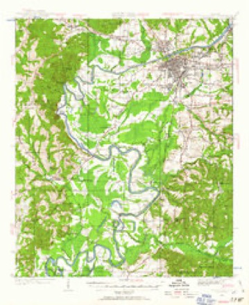
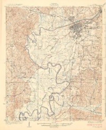
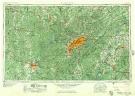
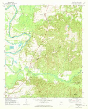
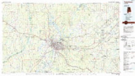
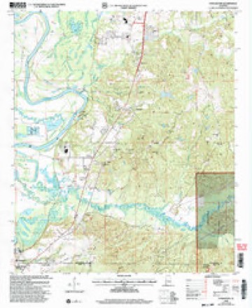
17 topographic sheets cover this place, the earliest surveyed in 1924 and the latest in 2002. It stands in the Big Sandy-Duncanville census division. It lies in ZIP code area 35405. The Survey maps it on the Englewood quadrangle.
Topographic sheets covering this place
8 surveys from 17 printed sheetsMatched by testing this settlement's coordinate against the published boundary of every sheet in the United States Geological Survey's historical collection. Each opens the scanned sheet at the Survey.
- 1924 USGS Tuscaloosa quadrangle1:62500
- 1926 USGS Tuscaloosa quadrangle1:62500, 3 printings
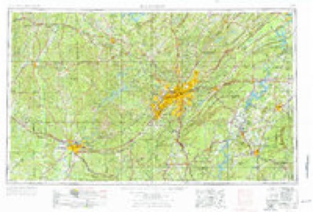
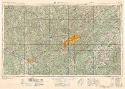
- 1953 USGS Birmingham quadrangle1:250000, 4 printings
- 1956 USGS Birmingham quadrangle1:250000
- 1957 USGS Birmingham quadrangle1:250000
- 1970 USGS Englewood quadrangle1:24000, 4 printings
- 1984 USGS Tuscaloosa quadrangle1:100000, 2 printings
- 2002 USGS Englewood quadrangle1:24000
Fires near this place
91 since 1994Regional context, not property-specific evidence. The federal wildfire occurrence database lists 91 fires within 5 miles of Hull between 1994 and 2020, burning about 332 acres in total. 2 started naturally. 17 were recorded as arson. Distance is straight-line from the map coordinates, so a fire counted here may appear on a neighbouring settlement's page as well.
| Reported cause | Fires |
|---|---|
| Missing data/not specified/undetermined | 25 |
| Debris and open burning | 23 |
| Arson/incendiarism | 17 |
| Recreation and ceremony | 11 |
| Misuse of fire by a minor | 6 |
| Equipment and vehicle use | 3 |
| Natural | 2 |
| Railroad operations and maintenance | 2 |
| Smoking | 1 |
| Power generation/transmission/distribution | 1 |
The most recent of them, most recent first, with the day each was reported and the service that recorded it.
| Date | Cause | Size | Reported by | Name on the report |
|---|---|---|---|---|
| 24 September 2016 | Debris and open burning | 12 acres | Alabama Forestry Commission | 20160924-17 |
| 19 September 2008 | Missing data/not specified/undetermined | 1.3 acres | Alabama Forestry Commission | COUNTY ROAD 72, AL |
| 14 September 1999 | Debris and open burning | 1.0 acres | Alabama Forestry Commission | not named |
| 8 August 2014 | Missing data/not specified/undetermined | under an acre | Alabama Forestry Commission | NWR-20140808-003 |
| 4 August 2010 | Power generation/transmission/distribution | 1.0 acres | Alabama Forestry Commission | not named |
| 4 August 2006 | Equipment and vehicle use | 1.0 acres | Alabama Forestry Commission | not named |
| 28 August 2007 | Missing data/not specified/undetermined | 1.0 acres | Alabama Forestry Commission | not named |
| 28 August 1999 | Debris and open burning | 2.0 acres | Alabama Forestry Commission | not named |
Settlements close enough to share some of these fires:
Mines and quarries near this place
2 within 5 milesRegional context, not property-specific evidence. The federal mineral resources record lists 2 workings within 5 miles of Hull: 2 producers. All of them still produce. What was taken out: Sand and Gravel, Construction. Distance is straight-line from the map coordinates, so a quarry counted here may appear on a neighbouring settlement's page as well.
| Where | Site | Commodity | Status | Recorded |
|---|---|---|---|---|
| Crabtree Pit | Sand and Gravel, Construction | Producer | ||
| Unnamed Quarry | Sand and Gravel, Construction | Producer | Quartz |
Storms near this place
7 since 2000Regional context, not property-specific evidence. The National Weather Service names Hull in 7 storm reports between 2000 and 2022: 4 tornado, 2 thunderstorm wind, 1 flood. The reports record 11 deaths and 157 injuries. Each account below is quoted exactly as the forecast office filed it, from the NOAA Storm Events Database, and each date opens the federal record of that event.
| When | Event | Place named | Harm | What the report says |
|---|---|---|---|---|
| December 2000 | Tornado (F4) | Hull | 11 killed, 144 hurt, $12,500,000 | The tornado began in southwestern Tuscaloosa County on the west side of the Black Warrior River. Traveling in a northeasterly direction the tornado moved from a rural, unpopulated area of the Black Warrior River into an area of homes south of Shelton State Community College. The tornado crossed SR 69 destroying a nearly complete shopping center which included a Winn Dixie store. East of SR 69 the tornado destroyed a number of houses and residential structures. As the tornado reached US 82 it destroyed a number of mobile homes where several deaths were reported. From US 82 the tornado continued northeasterly downing numerous trees and power lines and damaging residential structures. The tornado crossed I-20/59 just west of exit 77 where many trees were uprooted or snapped off. Minor damage occurred to the JVC manufacturing facility. At exit 77 a number of commercial structures including hotels, fast food restaurants, and truck stops sustained damage including a number of vehicles that were overturned. The tornado continued northeasterly for a couple of miles before dissipating rapidly. Ironically, the tornado dissipated as it moved into an open, unpopulated area. The tornado was spawned by a supercell thunderstorm that originated in Mississippi. This thunderstorm was responsible for additional tornado damage in St. Clair and Etowah counties.Tuscaloosa EMA reported 11 fatalities with this tornado along with 144 injuries. Nine of the fatalities occurred in mobile homes, one in a vehicle, and one in a commercial building converted to residential use. Six of those killed were females and five were males. Ages ranged from 16 months to 83 years old. There were 251 single family dwellings affected (43 destroyed, 76 with major damage, 138 with minor damage), 179 mobile homes affected (79 destroyed, 23 with major damage, 77 with minor damage), and 13 businesses affected (1 destroyed, 7 with major damage, 5 with minor damage).The tornado was on the ground for a total of 18 miles, all within Tuscaloosa County. The tornado path was estimated to be 750 yards wide at it's maximum intensity. This tornado was rated an F4 on the Fujita Scale for tornado intensity. Tornado intensity varied along the path with considerable F2 and F3 damage in the area from just west of SR 69 to US 82 in the Hinton Place and Hillcrest Meadows areas as well as the Bear Creek area. It was also in these areas where pockets of F4 destruction occurred. The tornado first touched down at 12:54 PM and dissipated at 1:12 PM with a forward speed of approximately 60 MPH. Beginning: 33 03.225/87 39.239 Ending: 33 12.065/87 24.292 |
| April 2014 | Tornado (EF1) | Hull | 13 hurt | A tornado touched down near the intersection of Fosters Loop Road and Cypress Creek Road, where it snapped and uprooted hundreds of trees. It moved northeastward, crossing the Black Warrior River near Maxwell Bend. Several homes sustained significant roof and porch damage on the east bank of the river in the River Point Subdivision. It continued moving northeast, snapping and uprooting hundreds of trees and causing mainly minor shingle and roof damage to numerous homes as it moved through several subdivisions. As the tornado continued north and eastward, the tornado crossed Old Greensboro Road where it uprooted and snapped the trunks of numerous large, old hardwoods at the Little Sandy Baptist Church. The tornado continued northeast across Highway 69 with winds of 95 mph, where it downed multiple trees on the east side of the highway. The tornado took a more easterly track and produced sporadic tree damage until it reached the Taylorwood Estates subdivision and the Bear Creek trailer park. In this area, the tornado snapped or uprooted hundreds of trees. The tornado then moved east-northeast and caused sporadic tree damage as it crossed U.S. Highway 82 and Hargrove Road. Just west of Hargrove Road, the tornado uprooted and snapped numerous hardwood and softwood trees and caused major damage to 25 mobile homes as trees fell on the homes. One small porch was ripped from a double wide mobile home. The tornado then moved through the Woodland Forest subdivision where it uprooted and snapped hundreds of trees. As the tornado approached Buttermilk Road, southerly winds got under the soffit of a single family home and ripped out a small portion of the roof. The tornado caused minor roof damage and uprooted several trees on the east side Buttermilk Road before it finally lifted. This tornado was very close to the path of the F4 tornado in 2000. |
| March 2022 | Tornado (EF0) | Hull | - | National Weather Service meteorologists surveyed damage in far southern Tuscaloosa County and determined that it was consistent with an EF0 tornado, with maximum winds near 70 mph. This tornado formed in Hale County and crossed into Tuscaloosa County at County Line Road. The tornado continued northeast and dissipated near Sagebrush Drive, producing mostly broken tree branches. |
| June 2022 | Thunderstorm Wind | Hull | - | Several trees uprooted along Highway 69 in far southern Tuscaloosa County. |
| June 2022 | Thunderstorm Wind | Hull | - | Several trees uprooted along Fosters Loop Road. |
| March 2021 | Tornado (EF1) | Hull | - | National Weather Service meteorologists surveyed damage in southwest Tuscaloosa County and determined that it was consistent with an EF1 tornado, with maximum winds near 110 mph. This tornado crossed from Hale County into Tuscaloosa County near the intersection of Highway 69 and Highway 72 in the city of Moundville. The tornado impacted a subdivision on Waterbury Drive and caused structural damage to a church and several homes. Farther northeast, the tornado produced sporadic timber damage, and lofted/flipped some campers on Old Greensboro Road. The most significant damage occurred along South Rosser Road where a few mobile homes were destroyed from a fallen tree. A corridor of fairly significant timber damage was also observed along South Rosser Road. The tornado continued northeast toward South Ridge Road before dissipating just west of Highway 82. |
| January 2013 | Flood | Hull | - | Heavy rainfall over a period of three days, from January 13 until January 15, led to rises along the Black Warrior River at Oliver Lock and Dam. These rises caused minor flooding to occur in the southern portion of Tuscaloosa County. Several roads have to be closed due to flooding, included Whitfield Road, Riverbend Road, and South Sandy Road. The river began to recede by January 18th, and all roads finally became open on January 20th. |
Nearest settlements
The eight closest, with where each one stands in the county. Distances are straight-line, computed from the Geographic Names Information System coordinates.
| Map | Place | Distance | Sheets |
|---|---|---|---|
| Maxwell | 2.0 miles | 17 | |
| Little Sandy | 3.3 miles | 17 | |
| Englewood | 4.1 miles | 17 | |
| Manora Estates | 5.6 miles | 17 | |
| Raintree Country | 5.6 miles | 20 | |
| Taylorwood Estates | 5.8 miles | 17 | |
| Monticello Two | 6.1 miles | 20 | |
| Taylorville Heights | 6.3 miles | 17 |
Provenance
This settlement is recorded in the Geographic Names Information System as feature 159826. The sheet list is computed by point-in-boundary test against the United States Geological Survey's historical topographic inventory. Both are works of the United States government and carry no copyright under 17 U.S.C. 105.
Wildfire. Short, Karen C. 2022. Spatial wildfire occurrence data for the United States, 1992-2020 [FPA_FOD_20221014]. 6th Edition. Fort Collins, CO: Forest Service Research Data Archive. https://doi.org/10.2737/RDS-2013-0009.6 Collected with United States Government funding and usable without additional permissions or fees.
Mines and quarries. USGS Mineral Resources Data System (MRDS) https://mrdata.usgs.gov/mrds/ A work of the United States government, no copyright under 17 U.S.C. 105.
Storms. NOAA National Centers for Environmental Information, Storm Events Database https://www.ncei.noaa.gov/stormevents/ A work of the United States government, no copyright under 17 U.S.C. 105. Narratives are quoted verbatim from the National Weather Service report and are not edited or summarised.