Block
From the record
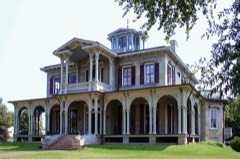
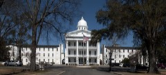
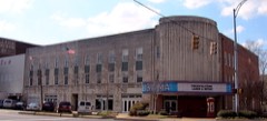
47 National Register listings published here, 1 of them a National Historic Landmark.
Sources: the National Register database, National Park Service
129 topographic sheets and 8 fire insurance atlases across 1 place.
47 National Register listings published here, 1 of them a National Historic Landmark.
Sources: the National Register database, National Park Service
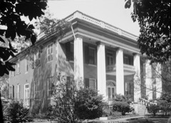
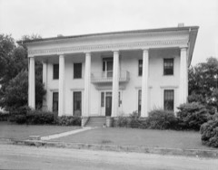
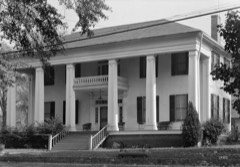
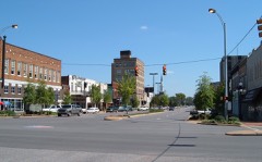
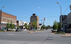
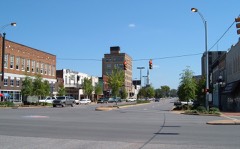
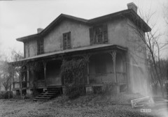
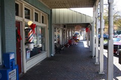
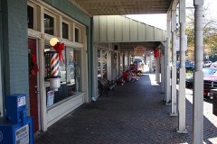
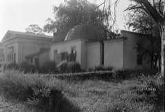
Taken for the Office of War Information and the Farm Security Administration, who photographed the country between 1935 and 1944. Works of United States government photographers, with no known restriction on use. Each opens its catalogue record.


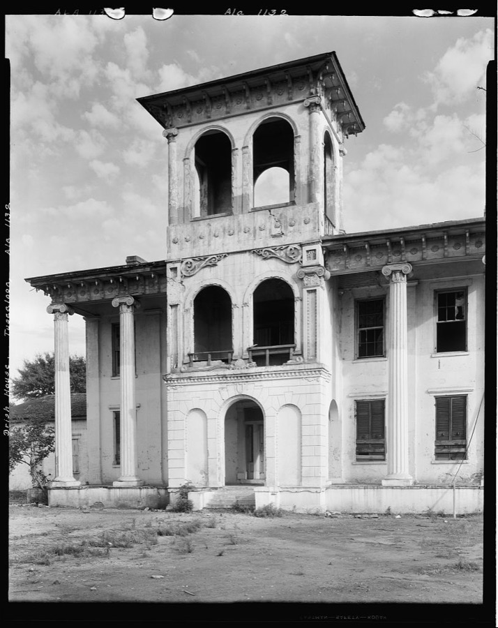


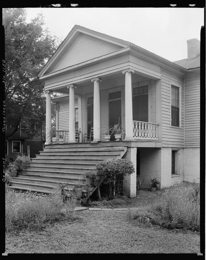


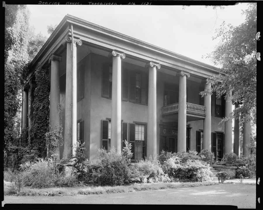
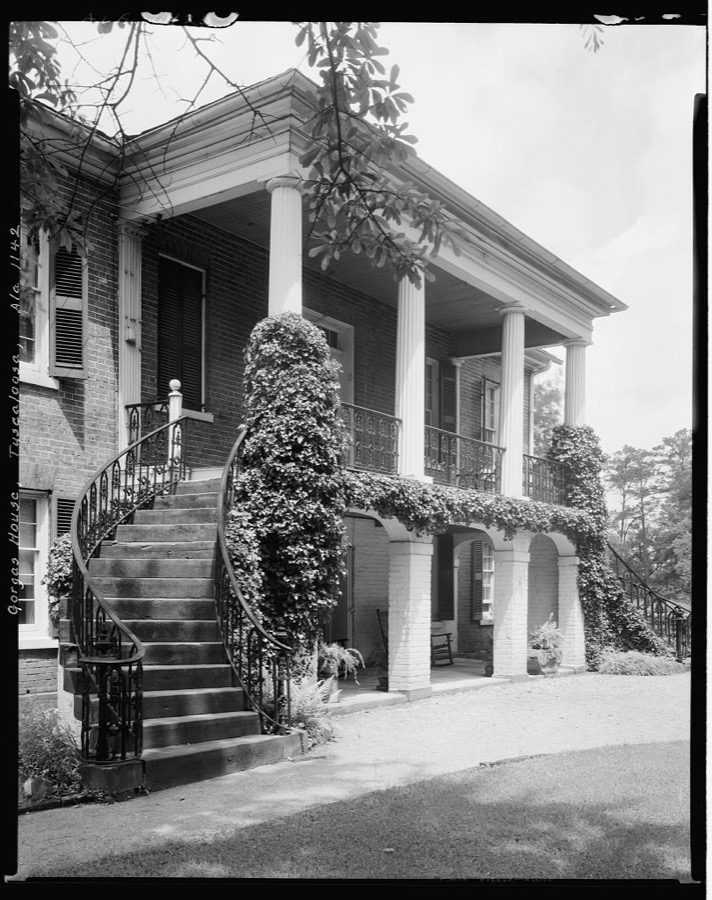
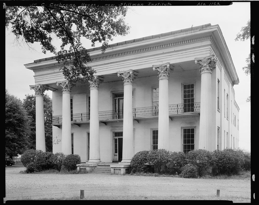


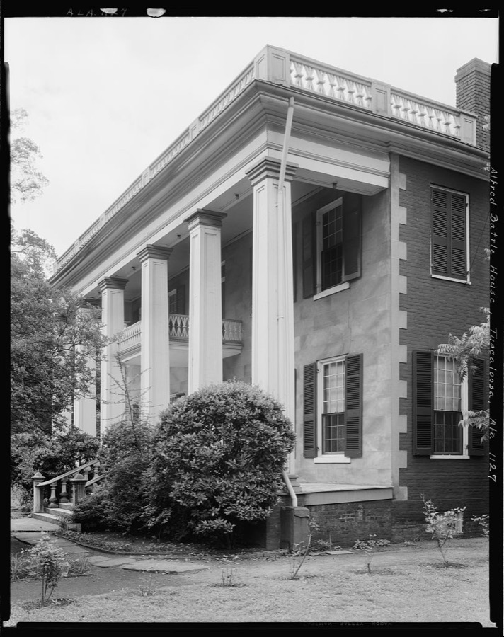

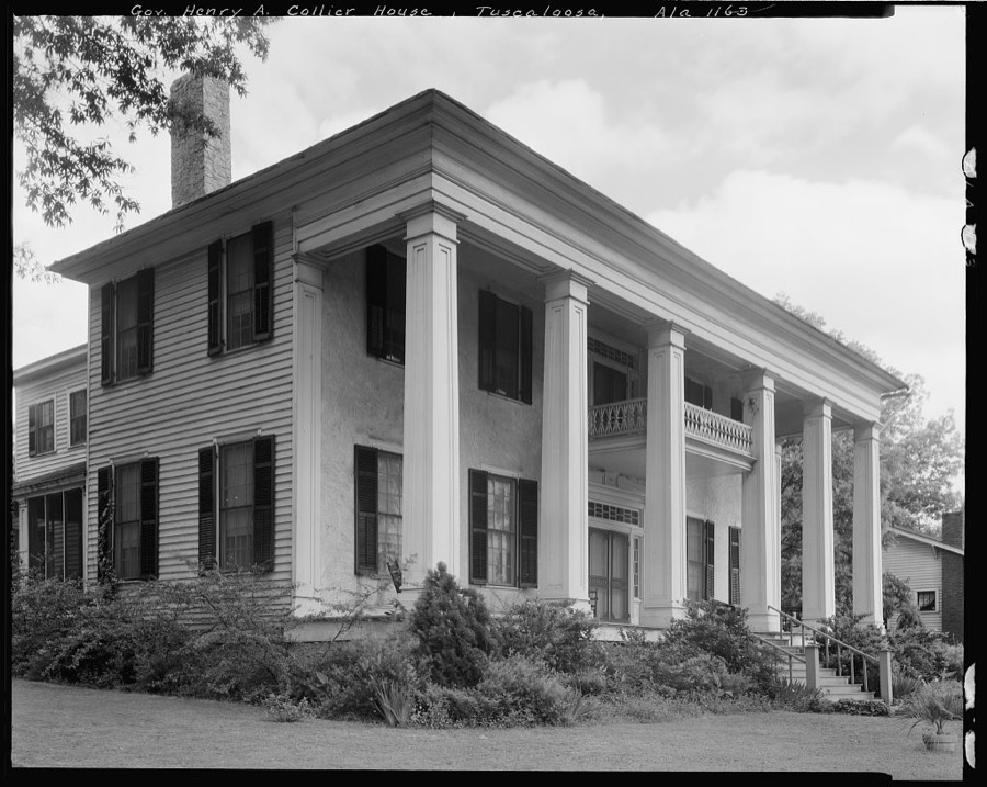
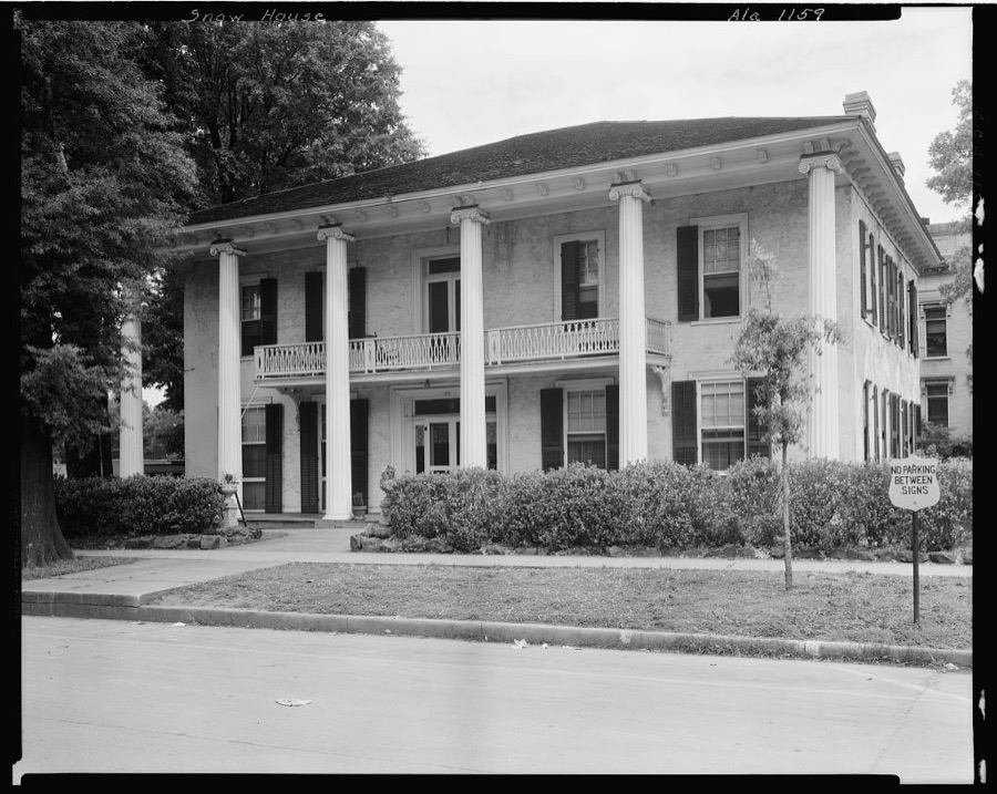




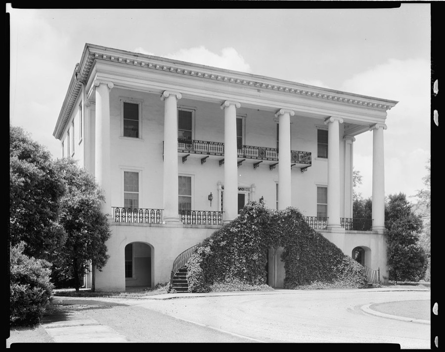

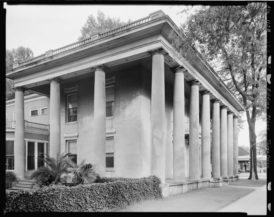
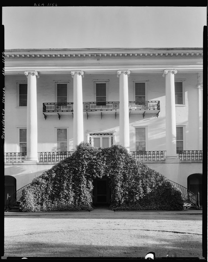


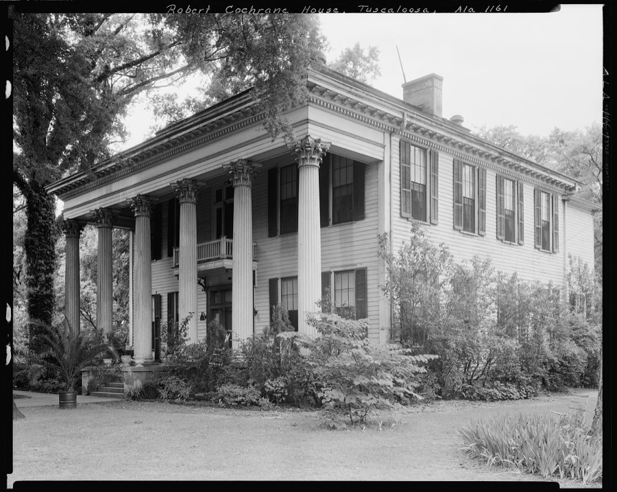
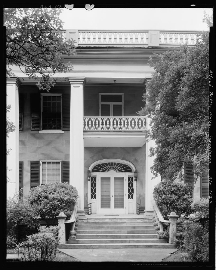
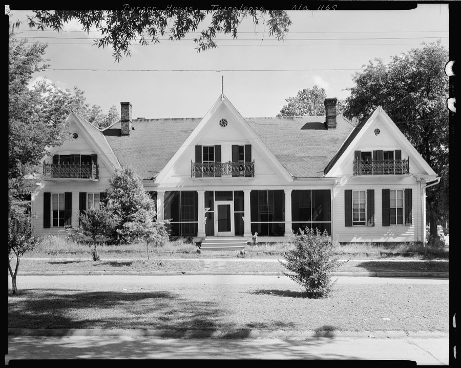
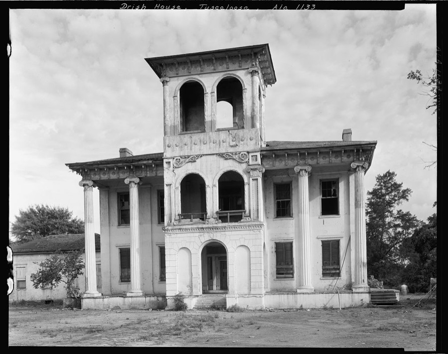
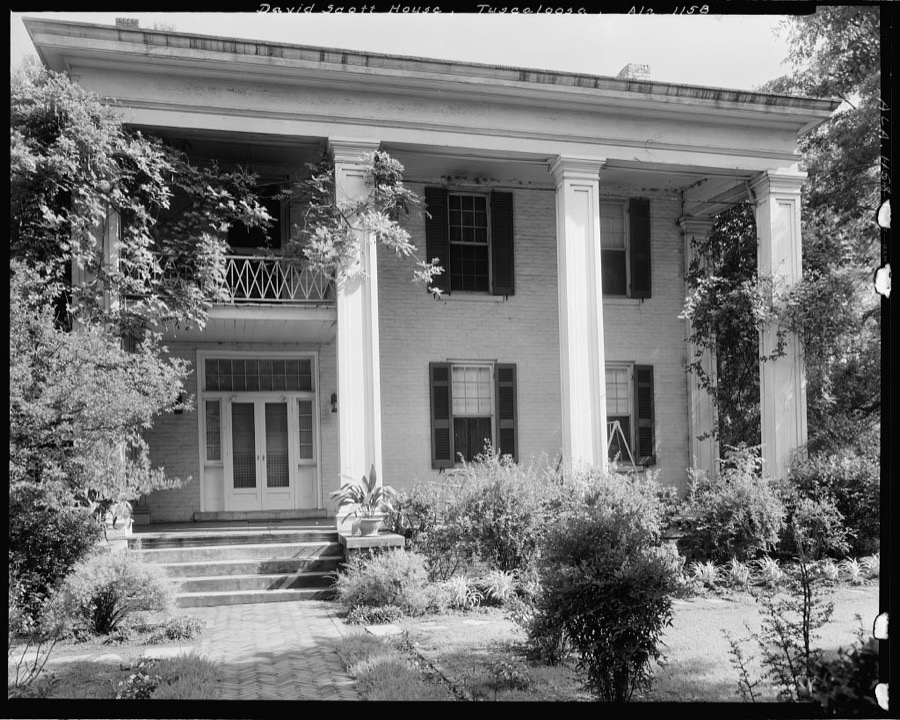

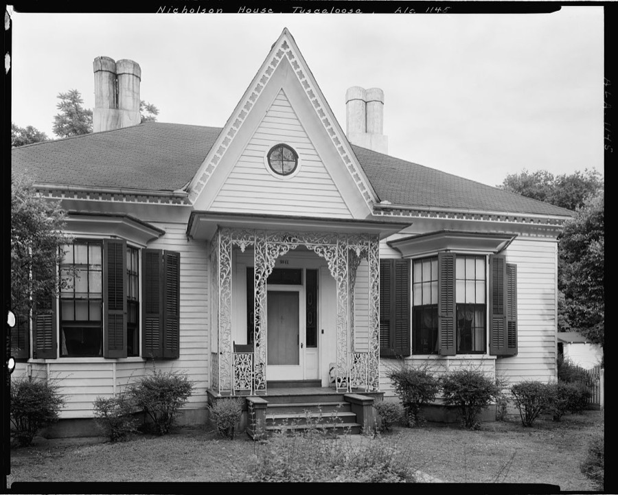

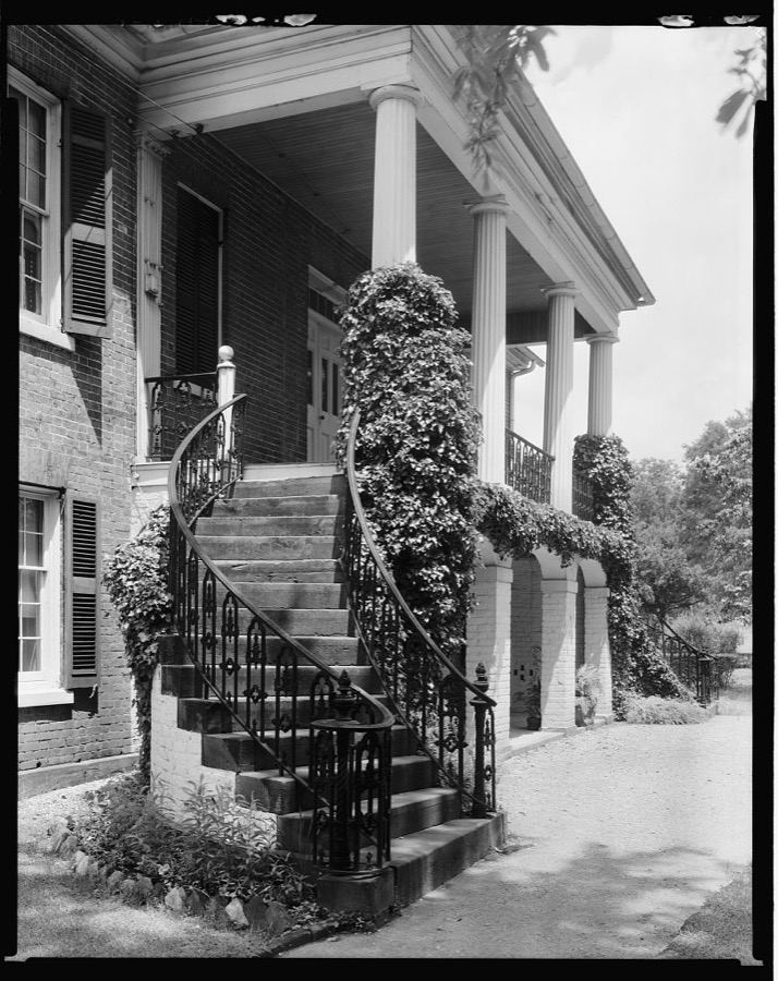

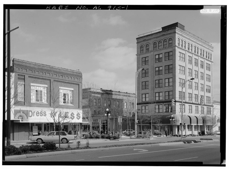
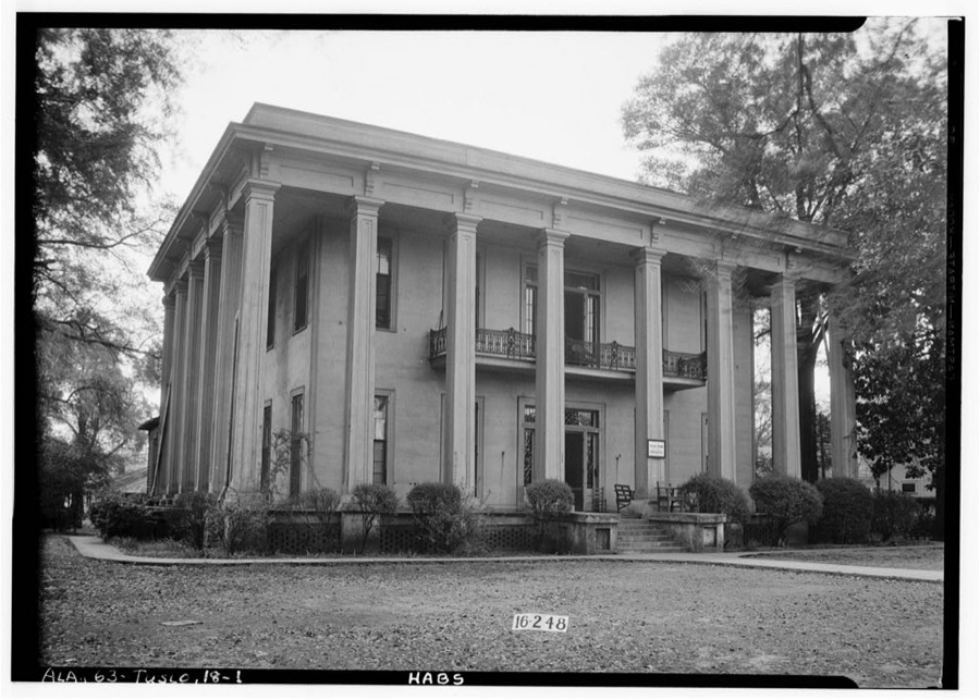
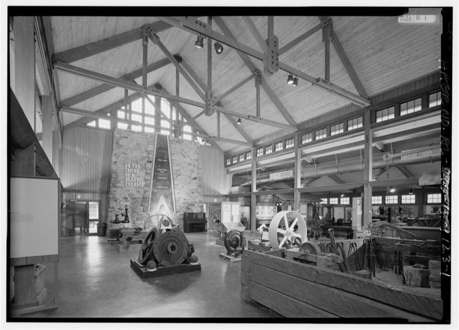
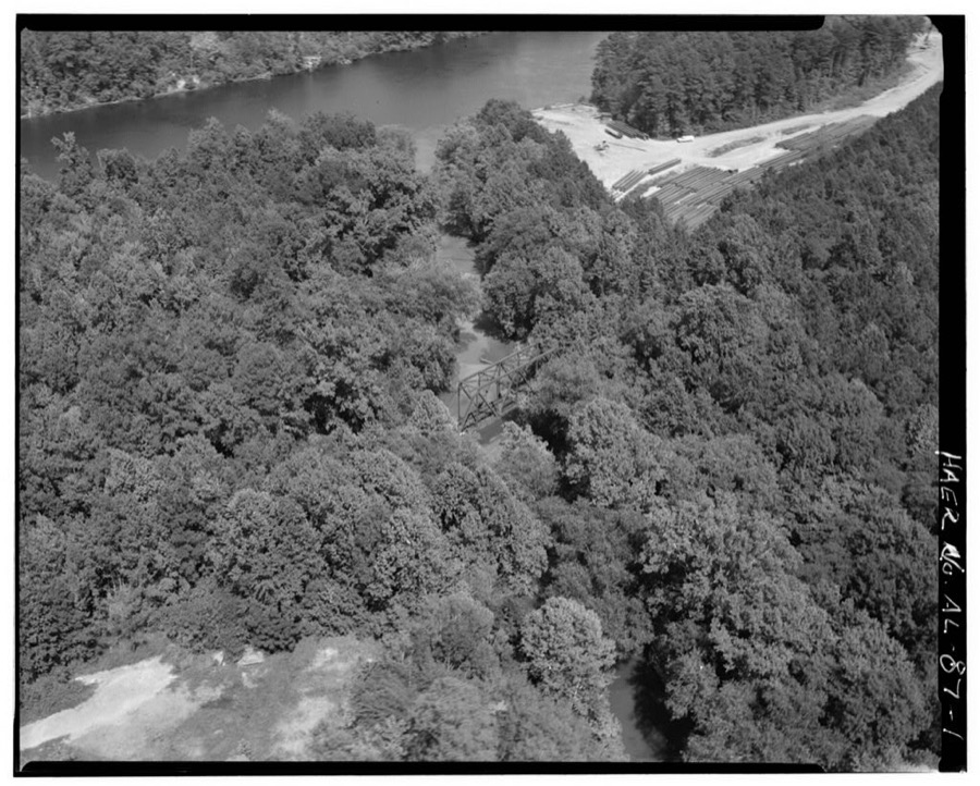
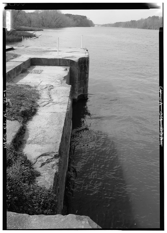
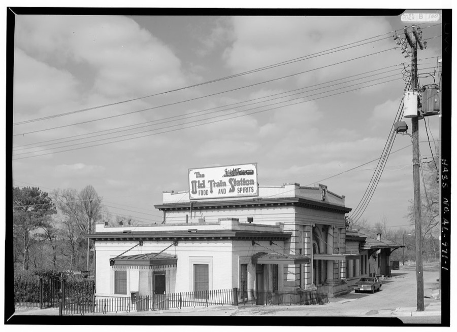
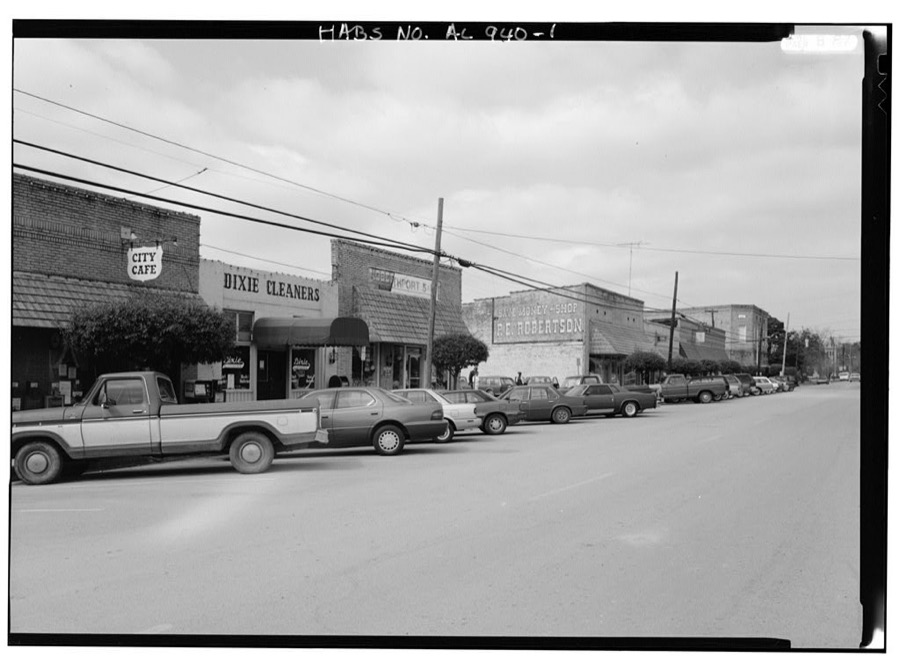
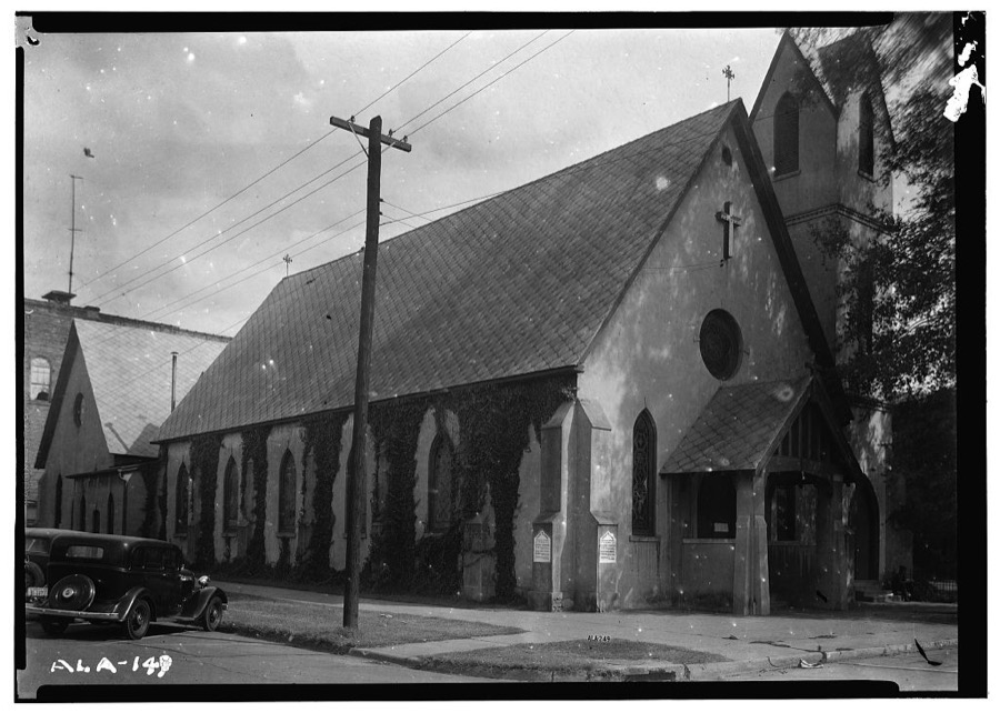
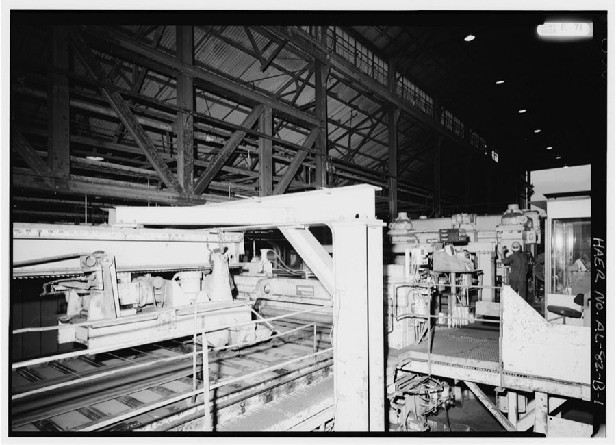
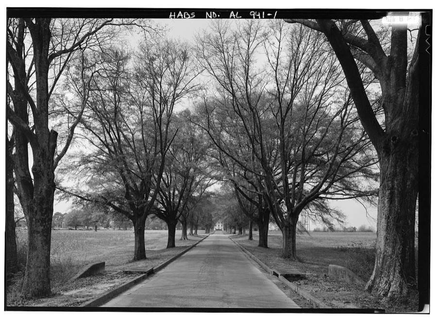
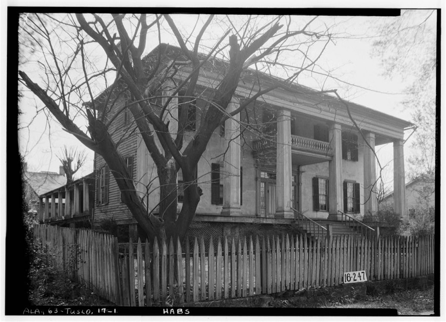
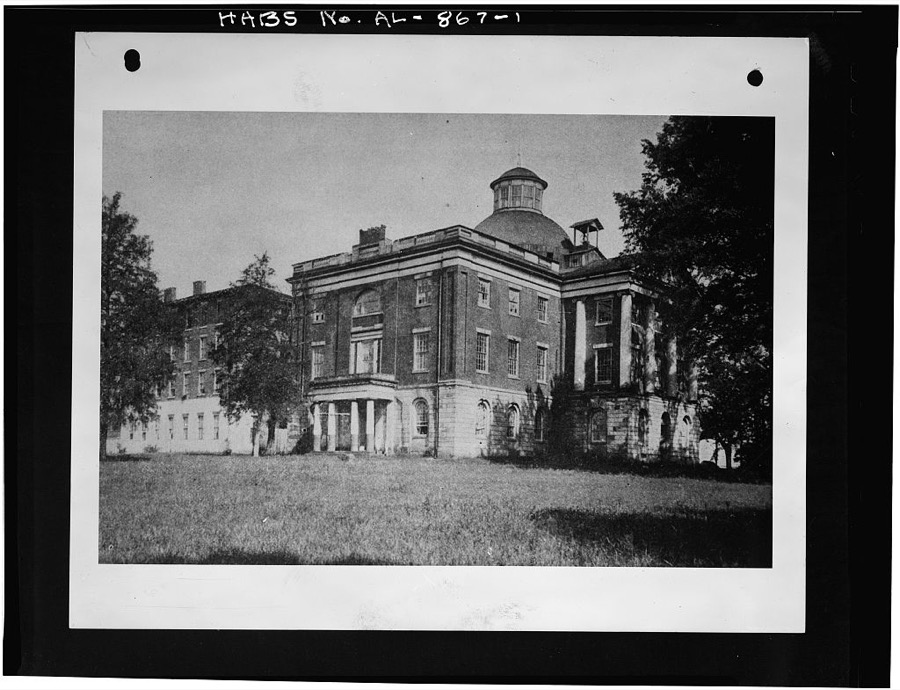
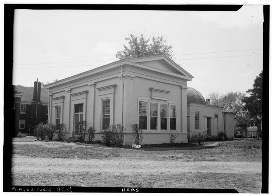
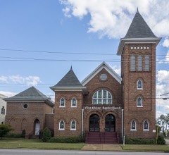
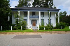
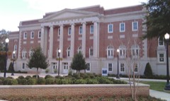
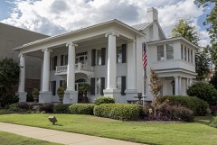
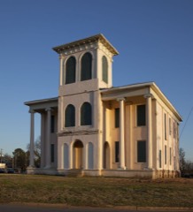
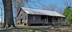
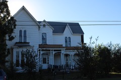
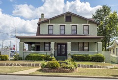
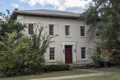
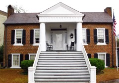
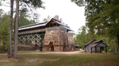
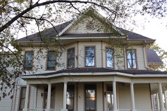
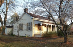
Every property in this county listed on the National Register of Historic Places, with the year it was listed and the federal nomination document.
Sampled issues, machine-read from the Library of Congress scan and published page by page, so every headline and column is searchable text.
Tuscaloosa, Ala., 1843 to 1846. Machine-read from the Library of Congress scan.
Tuscaloosa, Ala., 1829 to 183?. Machine-read from the Library of Congress scan.
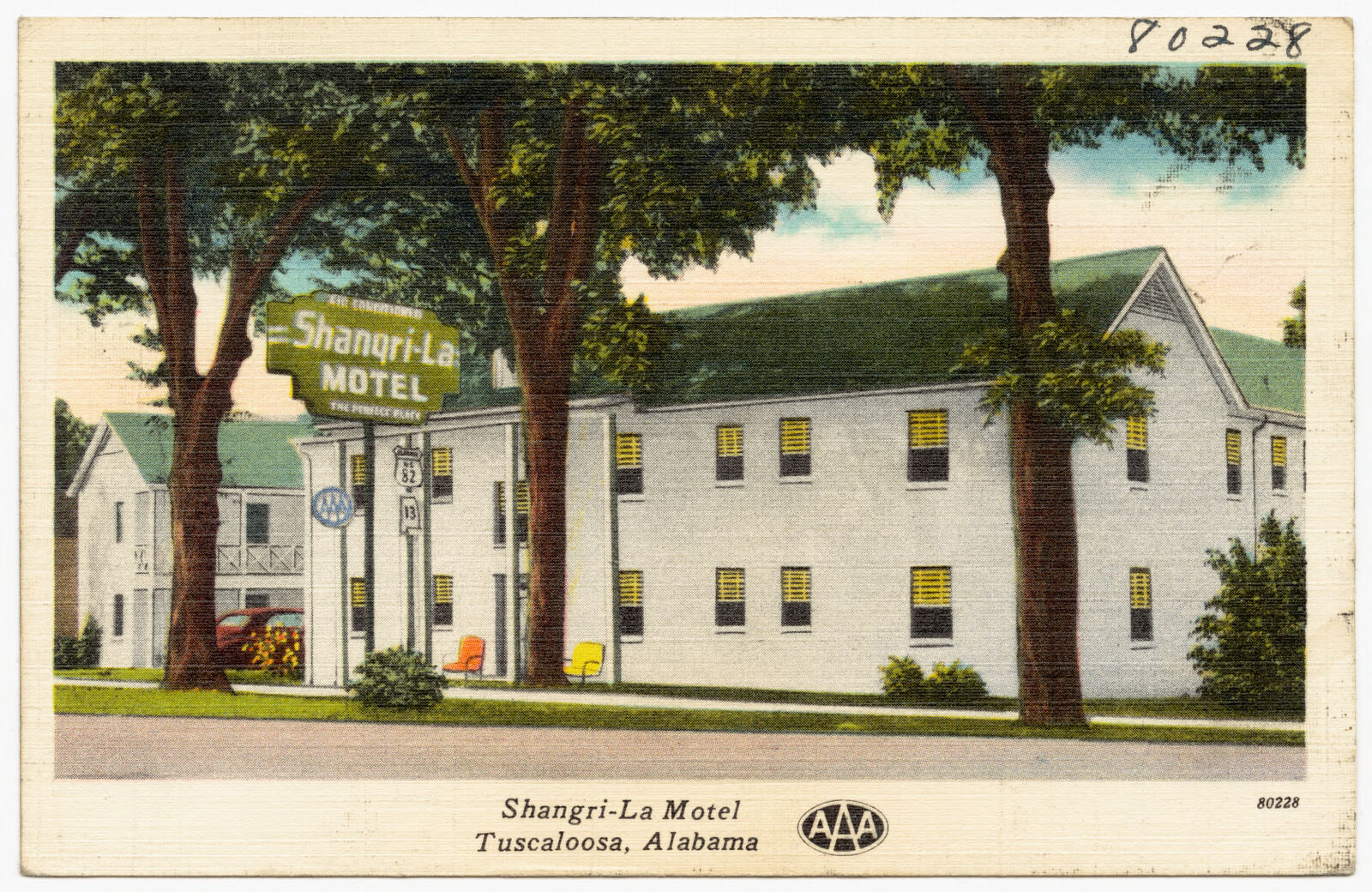
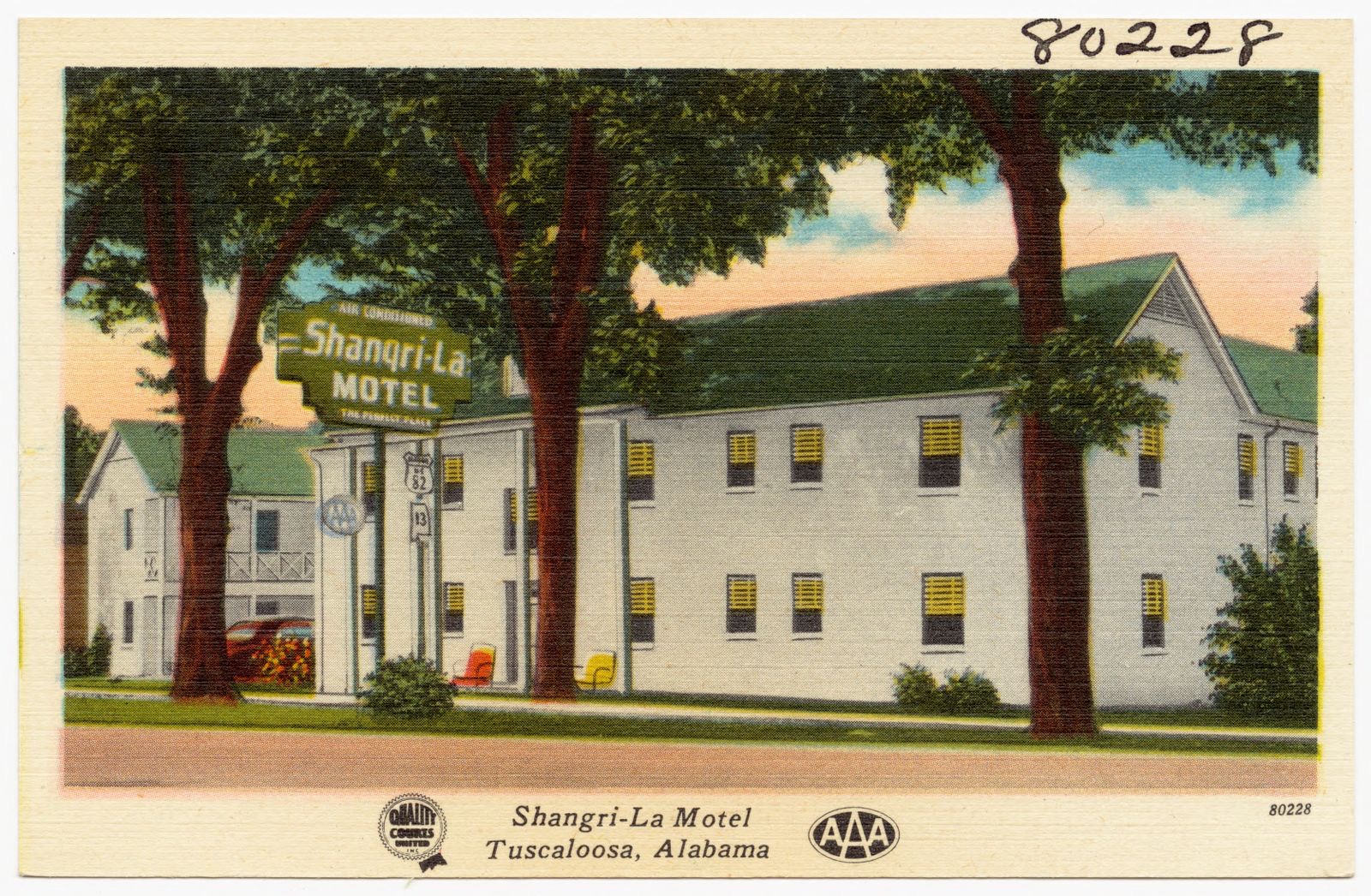
Selected from the Digital Public Library of America's 8 image records catalogued for this county. Every one shown here carries a public-domain status or a licence that permits reuse on a site that carries advertising; non-commercial, share-alike and restricted images are excluded. The selection is spread across the county's towns (at most eight per town), so no single institution's bulk upload crowds out the rest. Each opens the holding library's record, and the complete set at the Digital Public Library of America is one click away.
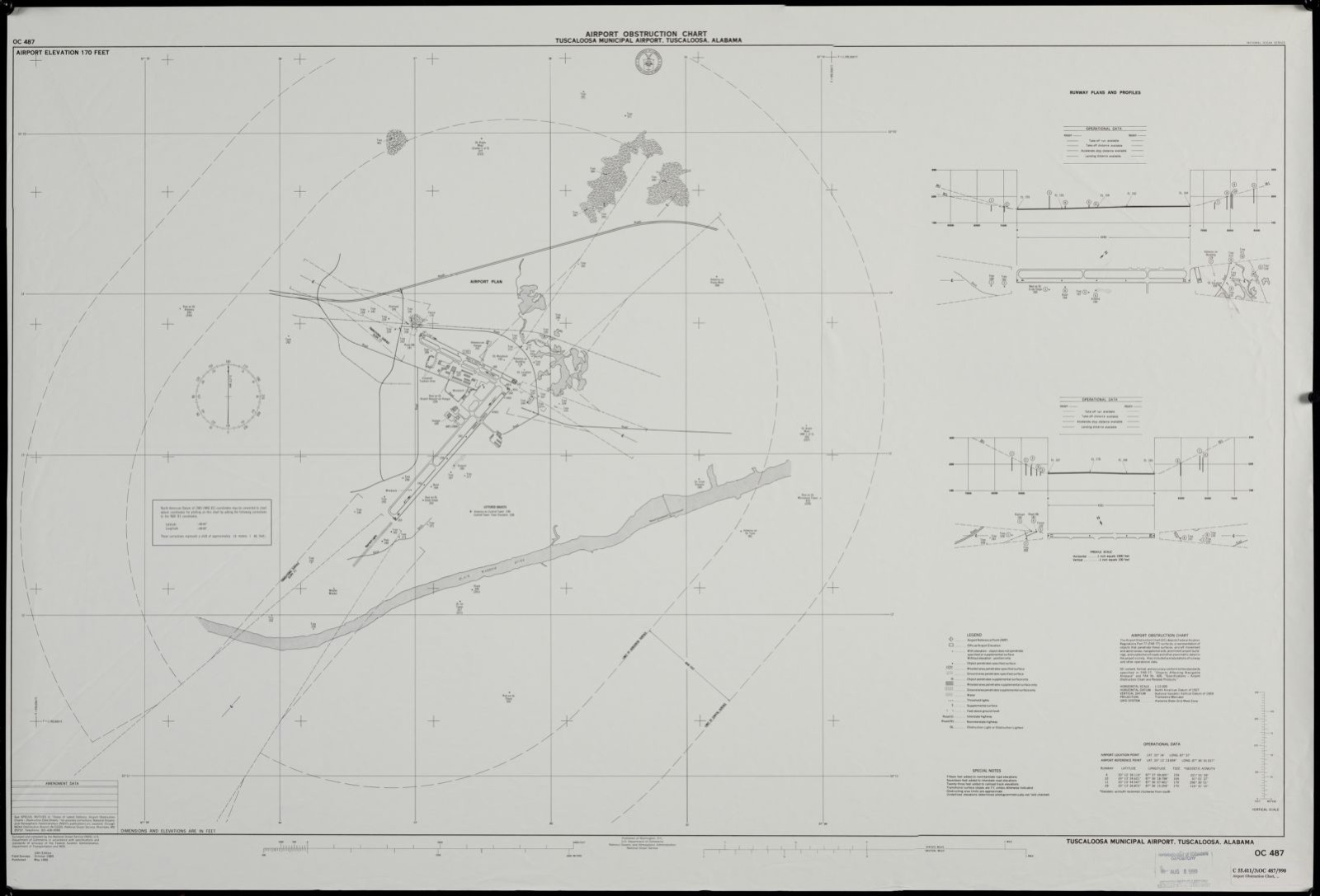
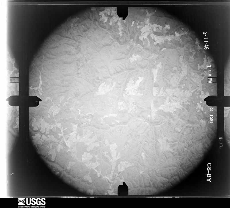
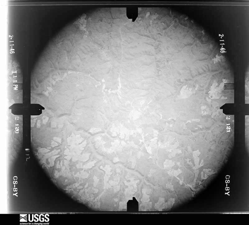
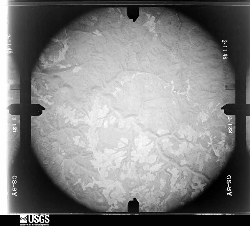
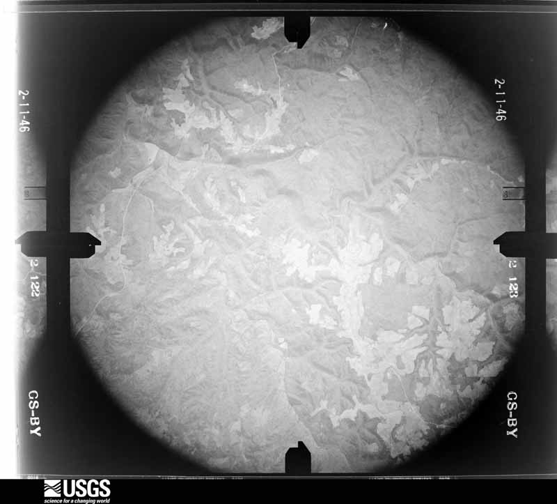
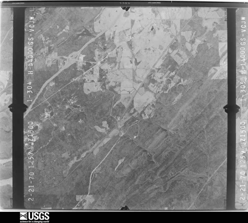
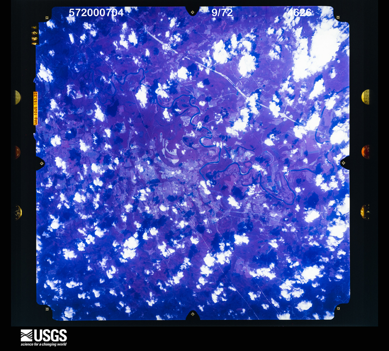
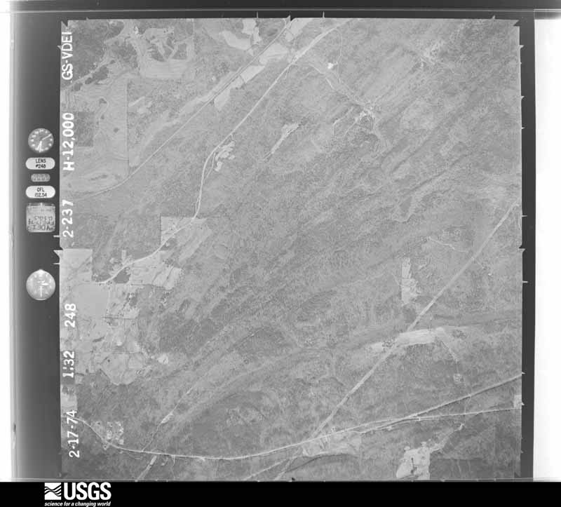
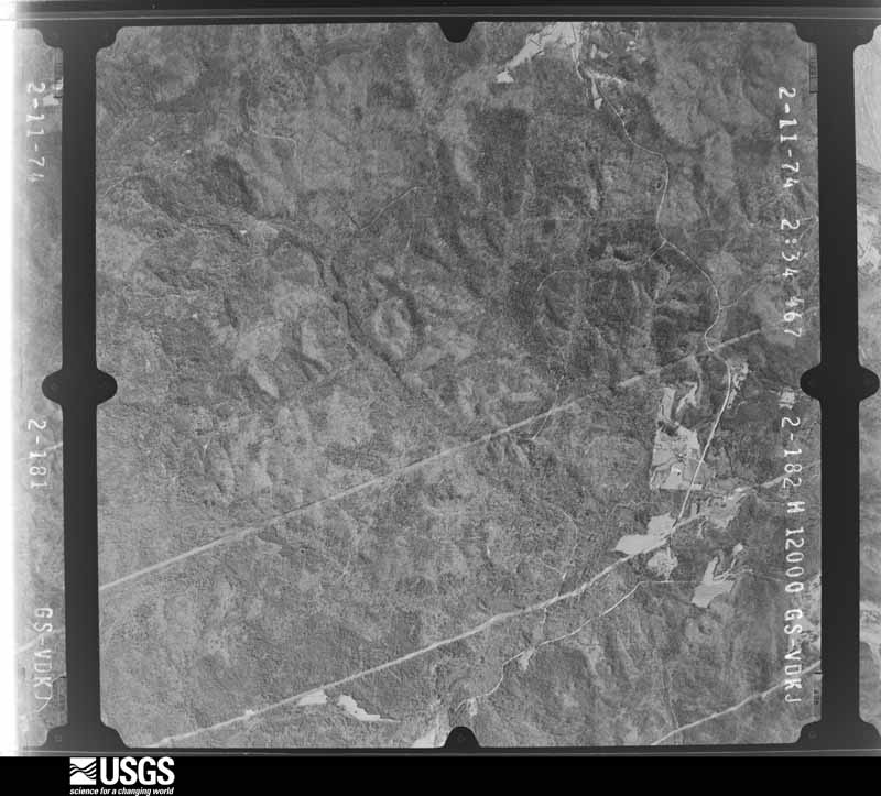
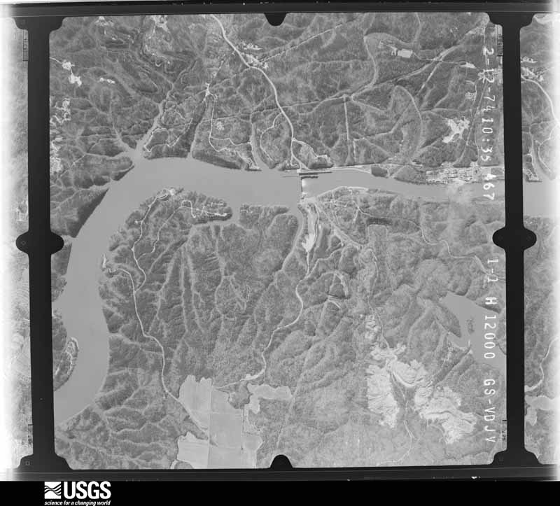
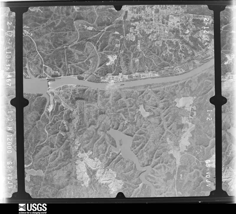
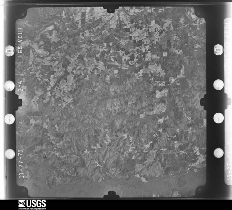
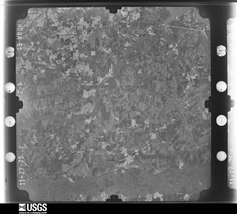
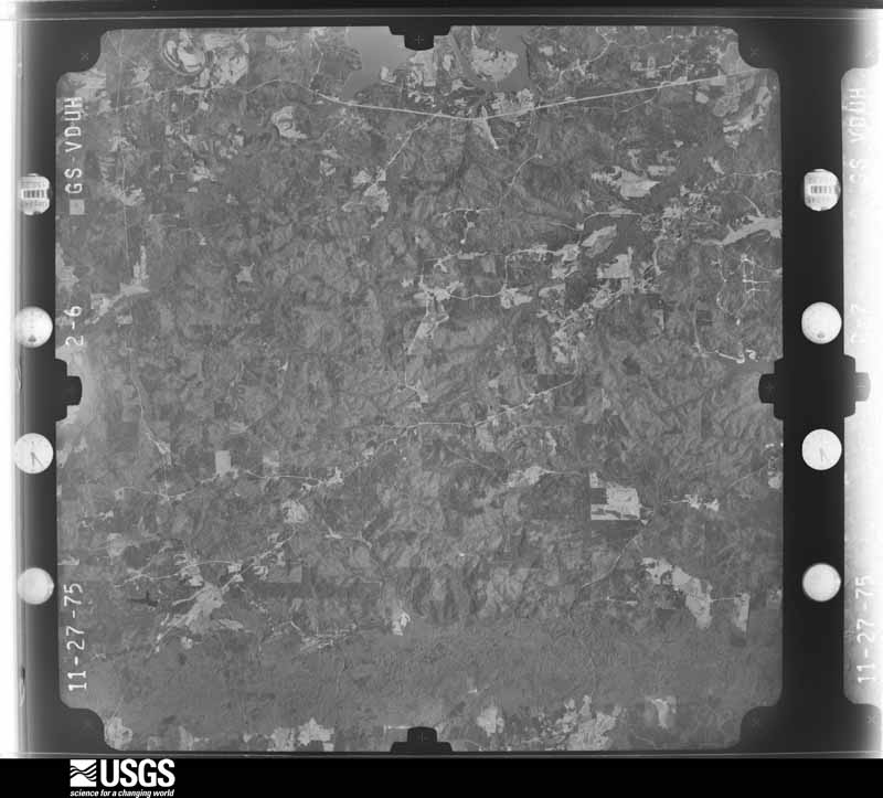
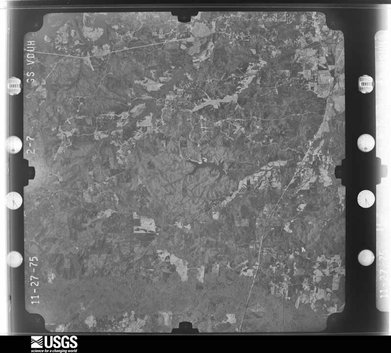
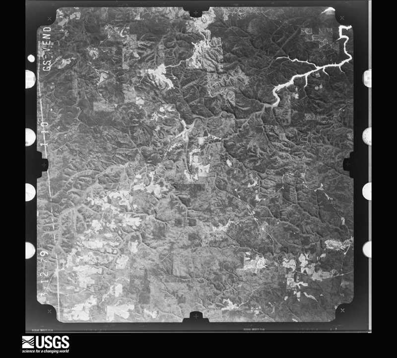
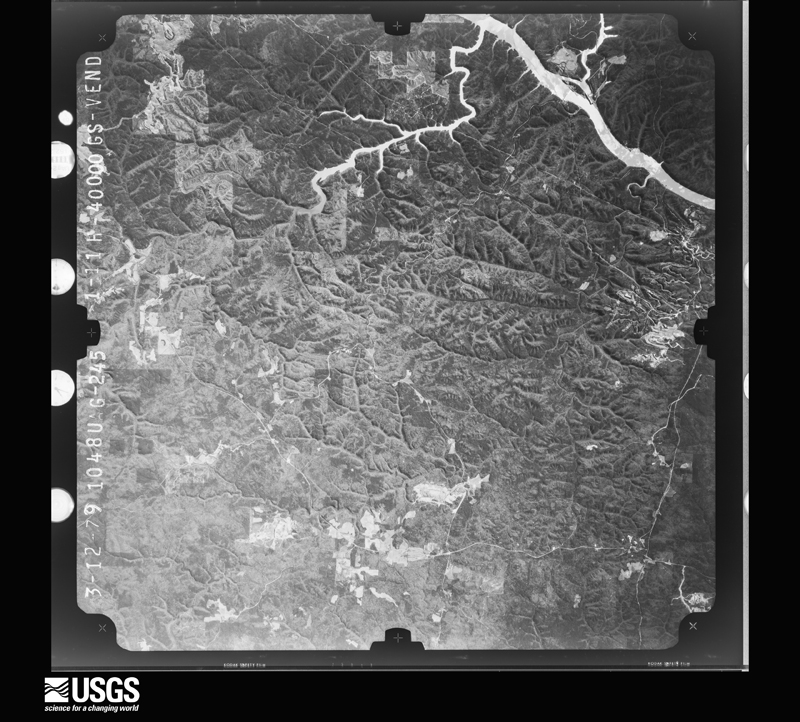
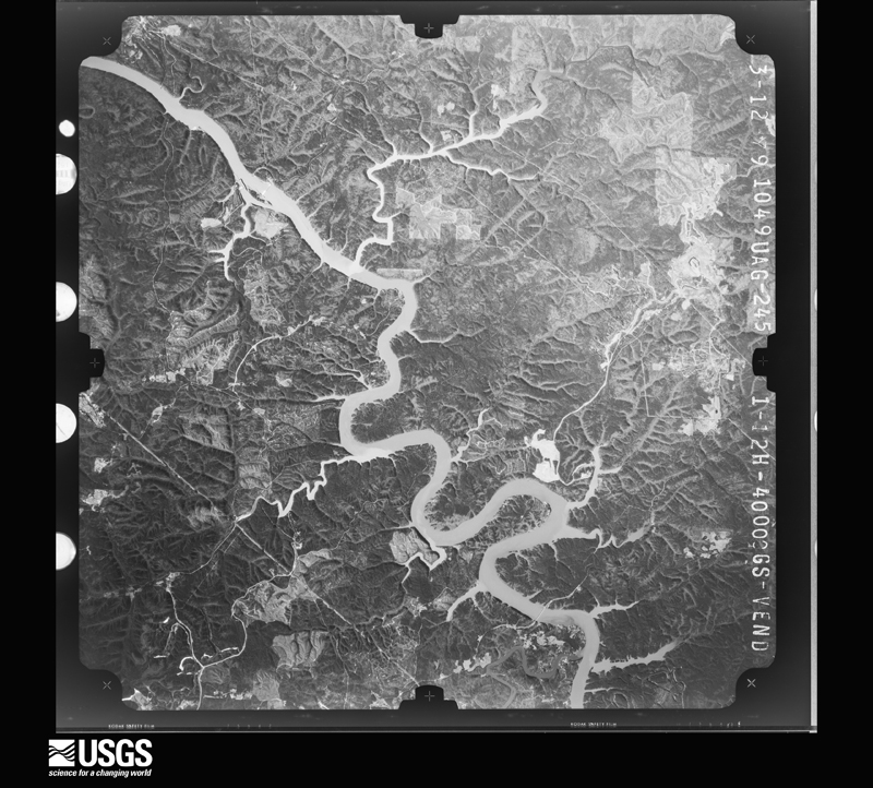
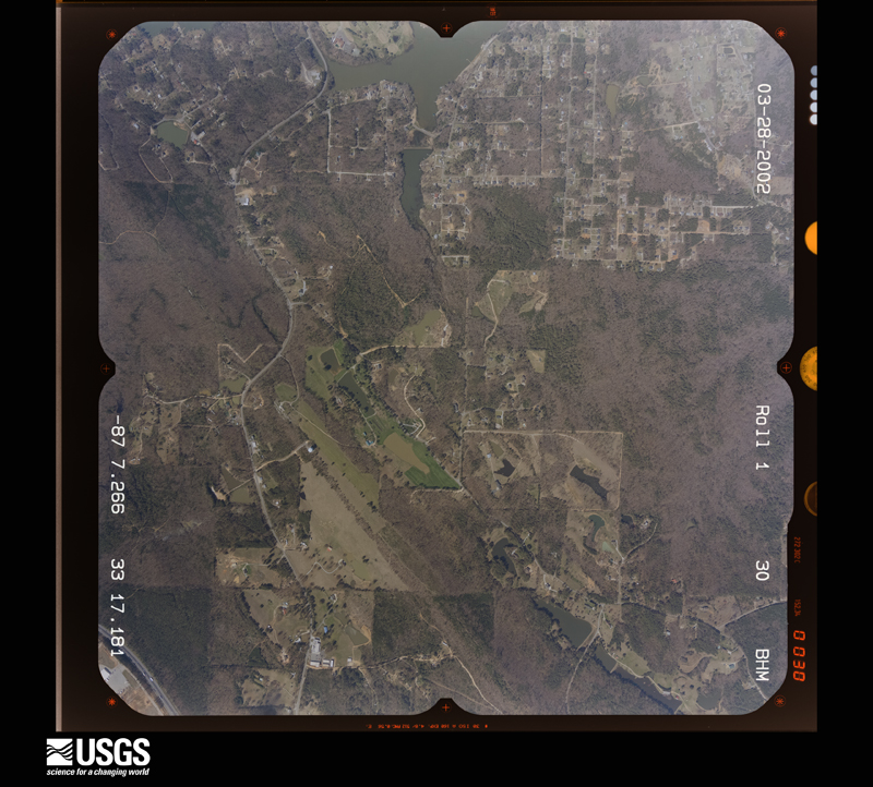
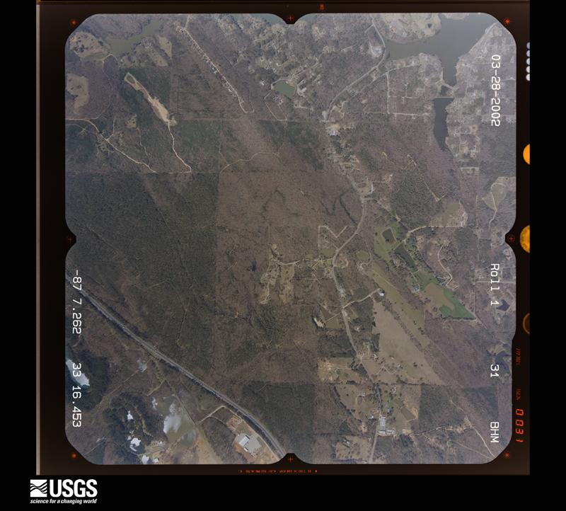
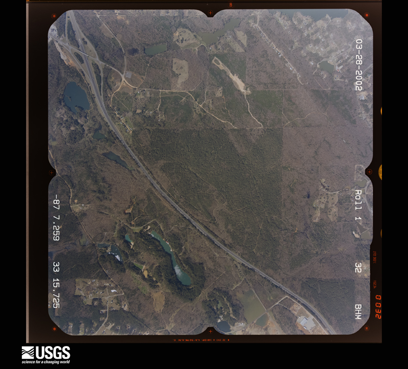
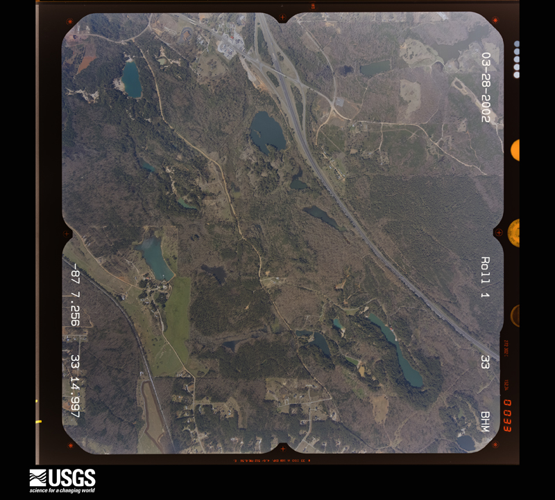
Flown by the U.S. Geological Survey between 1937 and 1989, the Aerial Photo Single Frames collection is the definitive mid-century view of the land: fields, roads and rivers as the camera saw them. The Survey holds 1,445 frames inside the rectangle that bounds this county; the 33 frames below were taken over the county itself, chosen across the decades of flights (at most four a year from that rectangle), so one flight cannot crowd out the rest. The full set is free to browse and download at EarthExplorer under the dataset Aerial Photo Single Frames.
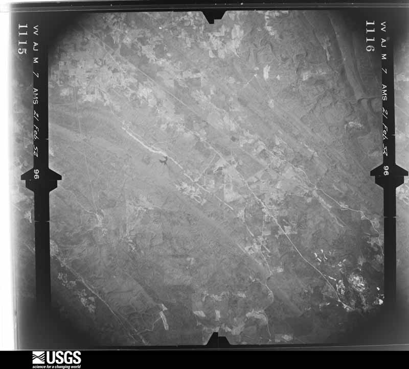
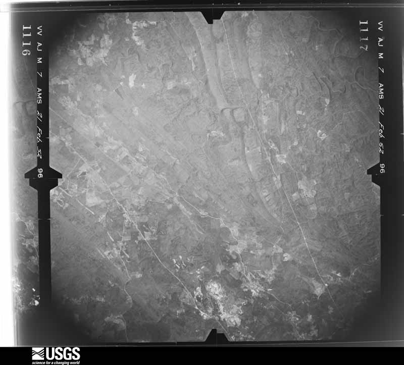
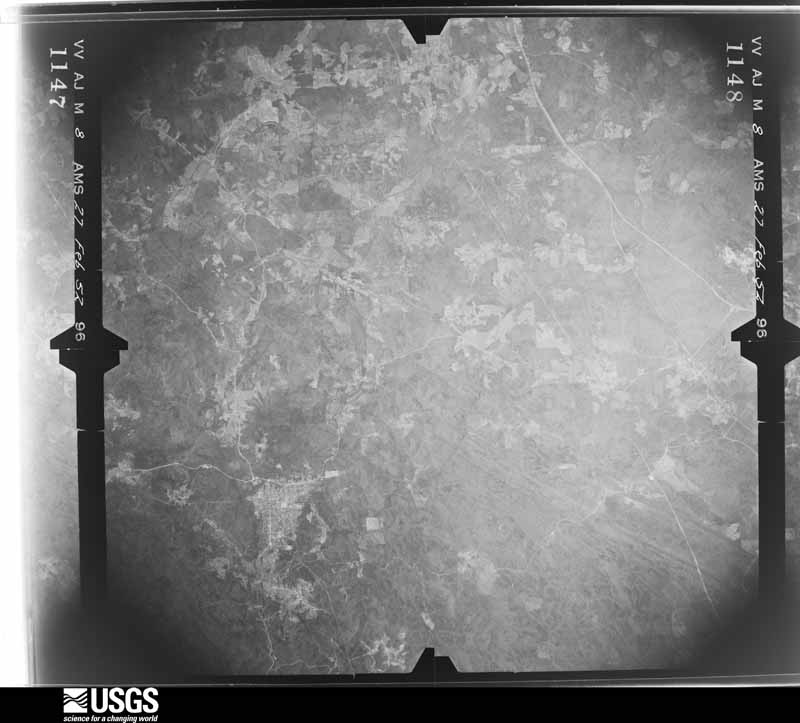
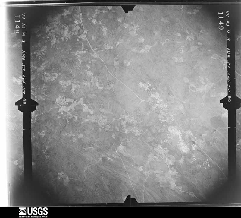
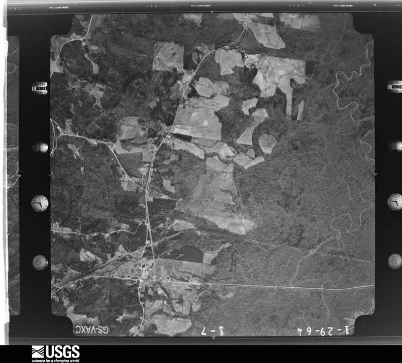
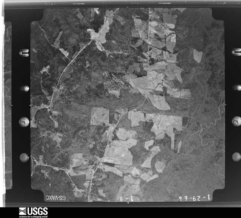
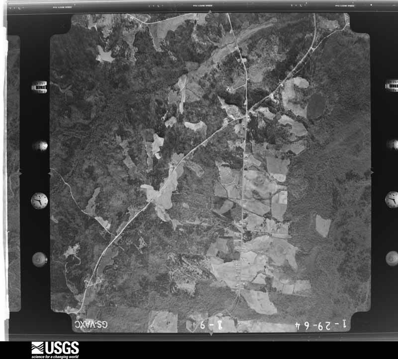
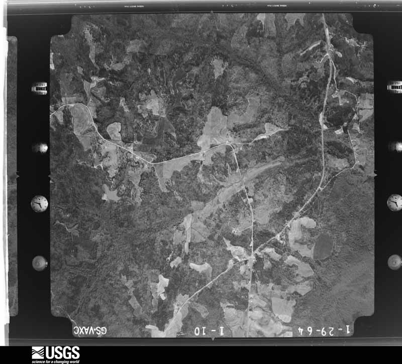
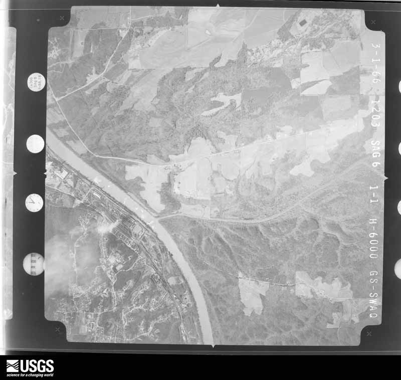
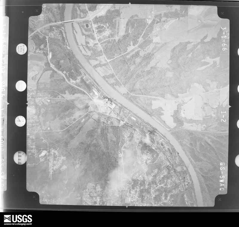
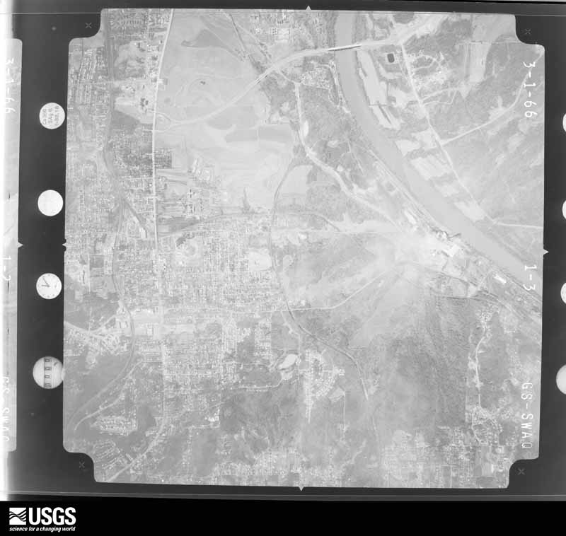
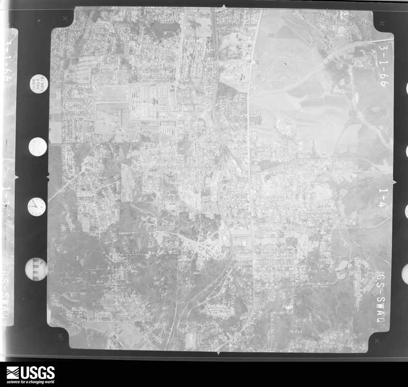
The thermometers that kept this county's weather, and the gages that measured the flow of its streams, as the federal records hold them. The extremes below are measured values from those records, not estimates.
Who lived here in 1950, one enumeration district at a time, as the Census Bureau described each district. Each row opens its official National Archives result, with Population Schedules and ED Maps available there.
Every wildfire the federal occurrence database records inside this county: 1,247 of them, burning about 16,970 acres. 44 started naturally and 417 were recorded as arson. Each settlement page carries the fires within five miles of it.
| Reported cause | Fires |
|---|---|
| Arson/incendiarism | 417 |
| Debris and open burning | 374 |
| Missing data/not specified/undetermined | 187 |
| Recreation and ceremony | 86 |
| Equipment and vehicle use | 49 |
| Natural | 44 |
| Railroad operations and maintenance | 32 |
| Misuse of fire by a minor | 25 |
| Smoking | 20 |
| Power generation/transmission/distribution | 11 |
| Other causes | 1 |
| Fireworks | 1 |
The five largest, by the area the report gives. 7 of them were set deliberately.
| Date | Cause | Size | Reported by | Name on the report |
|---|---|---|---|---|
| 16 September 2000 | Arson/incendiarism | 2,784 acres | Alabama Forestry Commission | not named |
| 8 October 2016 | Arson/incendiarism | 330 acres | Alabama Forestry Commission | 20161008-22 |
| 7 April 2006 | Arson/incendiarism | 212 acres | Alabama Forestry Commission | not named |
| 28 March 2004 | Arson/incendiarism | 195 acres | Alabama Forestry Commission | TUSCALOOSA 2 |
| 13 March 2004 | Debris and open burning | 168 acres | Alabama Forestry Commission | LOWNDES #2 |
| 3 March 2011 | Arson/incendiarism | 162 acres | National Forests in Alabama | ROAD 751 |
| 17 November 1999 | Arson/incendiarism | 152 acres | National Forests in Alabama | CRIPPLEMAN 724W |
| 19 March 2012 | Arson/incendiarism | 130 acres | Alabama Forestry Commission | NWR-20120319-003 |
Every settlement page carries the fires within five miles of it - see the settlement index below.
The NOAA Storm Events Database holds 858 reports for this county, causing 67 deaths, 1,119 injuries and about $1,607,344,750 in recorded property damage. Each settlement page carries the reports that name it.
| Kind of event | Reports |
|---|---|
| Thunderstorm Wind | 389 |
| Hail | 264 |
| Tornado | 95 |
| Flash Flood | 57 |
| Lightning | 31 |
| Funnel Cloud | 9 |
| Flood | 7 |
| Heavy Rain | 6 |
The most serious of them, by death, then injury, then recorded damage. The accounts are quoted exactly as the forecast office filed them.
| When | Event | Place named | Harm | What the report says |
|---|---|---|---|---|
| April 2011 | Tornado (EF4) | Ralph | 44 killed, 800 hurt, $1,500,000,000 | This tornado initially touched down in rural northern Greene County and moved northeast through southern Tuscaloosa and western Jefferson Counties, causing devastating damage consistent with a violent EF4 rating to portions of the city of Tuscaloosa and western suburbs of Birmingham, before it lifted northeast of downtown Birmingham. The tornado entered Tuscaloosa County just north of CR 60, west northwest of Ralph, and moved northeast causing tree damage and minor structural damage consistent with an EF2 rating and winds of 125 mph. The tornado strengthened as it crossed the Black Warrior River, north of Interstate 20 and approached Tuscaloosa. As the tornado approached Interstate 359, several buildings were destroyed including the Tuscaloosa County Emergency Operations Center. The tornado strengthened further to a violent EF4 with winds of 190 mph. Along 15th St E. and McFarland Blvd E., several small restaurants and stores were destroyed, with only a wall or two still standing. The tornado devastated the Cedar Crest neighborhood just north of 15th St, leveling many cinder block homes and causing at least 3 fatalities. The tornado crossed McFarland Blvd, destroying additional stores and restaurants. The tornado crossed University Blvd in the Alberta City community. Alberta Elementary School suffered nearly complete destruction, with only a few portions of walls still standing. A nearby two story apartment building was reduced to rubble sitting on the foundation. The Alberta Park Shopping Center was completely destroyed with no walls standing and a pile of debris on the foundation. Cinder block construction homes in the surrounding neighborhood were completely destroyed, and in a few cases debris was swept away from the site. The tornado continued northeast and struck the Chastain Manor Apartments at the north end of 34th Ave E. Buildings on the east side of this new 2 story apartment complex were completely destroyed, with only a pile of debris remaining and a few walls set into the hillside. A small club house that was anchored to a foundation, but with apparently no interior walls, was completely destroyed and swept from its foundation. Similar devastation to homes and businesses was noted along both sides of CR 45 near 1st St E. and locations to the northeastward. East of Holt, the tornado path width widened from 0.5 mile to around 1 mile. The tornado crossed Holt Peterson Rd just northwest of Clinker Rd, where two homes were completely destroyed. One home on a foundation was swept clean, with only floor joists remaining attached to the foundation. Almost all trees were blown down or snapped in the vicinity, as well as in the bottom of a narrow ravine nearly 100 feet below the house. The tornado continued to Holt Lock and Dam Road near its intersection with Recreation Area Road. Numerous mobile homes and several cinder block homes were destroyed in this area, which resulted in several fatalities. The tornado struck a marina on Holt Lake at the end of Recreation Area Road where it caused significant damage to a restaurant as well as numerous boats. Several injuries were noted in this area. The tornado continued northeastward and weakened to an EF3 rating with winds of 130 mph. As its path narrowed to 0.5 mile, the tornado passed north of Brookwood, near the intersection of Hannah Creek Rd and CR 59. Several mobile homes were destroyed, cinder block homes received heavy damage, and significant tree damage was noted in this area. The tornado moved parallel to Hannah Creek Rd where it caused extensive tree damage and destroyed at least one mobile home. The tornado crossed CR 99 and moved into western Jefferson County, 4 miles north of Abernant. A person died (indirect) several weeks after the event as a result of contracting pneumonia from exposure to the elements after his home was destroyed. An additional 6 people died (indirect) in the months following the tornado from the stress of the event, not direct injury.||This tornado was produced by a supercell thunderstorm that began in Newton County Mississippi at 13:54 pm CST, finally dissipating in Macon County, North Carolina at approximately 21:18 pm CST. This supercell spawned several strong to violent tornadoes along its long path. |
| December 2000 | Tornado (F4) | Hull | 11 killed, 144 hurt, $12,500,000 | The tornado began in southwestern Tuscaloosa County on the west side of the Black Warrior River. Traveling in a northeasterly direction the tornado moved from a rural, unpopulated area of the Black Warrior River into an area of homes south of Shelton State Community College. The tornado crossed SR 69 destroying a nearly complete shopping center which included a Winn Dixie store. East of SR 69 the tornado destroyed a number of houses and residential structures. As the tornado reached US 82 it destroyed a number of mobile homes where several deaths were reported. From US 82 the tornado continued northeasterly downing numerous trees and power lines and damaging residential structures. The tornado crossed I-20/59 just west of exit 77 where many trees were uprooted or snapped off. Minor damage occurred to the JVC manufacturing facility. At exit 77 a number of commercial structures including hotels, fast food restaurants, and truck stops sustained damage including a number of vehicles that were overturned. The tornado continued northeasterly for a couple of miles before dissipating rapidly. Ironically, the tornado dissipated as it moved into an open, unpopulated area. The tornado was spawned by a supercell thunderstorm that originated in Mississippi. This thunderstorm was responsible for additional tornado damage in St. Clair and Etowah counties.Tuscaloosa EMA reported 11 fatalities with this tornado along with 144 injuries. Nine of the fatalities occurred in mobile homes, one in a vehicle, and one in a commercial building converted to residential use. Six of those killed were females and five were males. Ages ranged from 16 months to 83 years old. There were 251 single family dwellings affected (43 destroyed, 76 with major damage, 138 with minor damage), 179 mobile homes affected (79 destroyed, 23 with major damage, 77 with minor damage), and 13 businesses affected (1 destroyed, 7 with major damage, 5 with minor damage).The tornado was on the ground for a total of 18 miles, all within Tuscaloosa County. The tornado path was estimated to be 750 yards wide at it's maximum intensity. This tornado was rated an F4 on the Fujita Scale for tornado intensity. Tornado intensity varied along the path with considerable F2 and F3 damage in the area from just west of SR 69 to US 82 in the Hinton Place and Hillcrest Meadows areas as well as the Bear Creek area. It was also in these areas where pockets of F4 destruction occurred. The tornado first touched down at 12:54 PM and dissipated at 1:12 PM with a forward speed of approximately 60 MPH. Beginning: 33 03.225/87 39.239 Ending: 33 12.065/87 24.292 |
| March 2022 | Flash Flood | Coker | 3 killed | Significant flooding across the city of Tuscaloosa and surrounding communities. Water rescues performed at several residences along Hunter Creek and vehicles submerged. Three fatalities in a submerged vehicle, one male and two females. The vehicle they were riding in left the roadway and into drainage ditch near the intersection of Main Street NE and 19TH Street NE. |
| June 2021 | Thunderstorm Wind | Cottondale | 2 killed | A large tree fell on a mobile home located off Hargrove Road East and resulted in two fatalities. |
| February 1975 | Tornado (F4) | not stated | 1 killed, 49 hurt, $25,000,000 | no account filed |
| February 1952 | Tornado (F3) | not stated | 1 killed, 14 hurt, $25,000 | no account filed |
| January 1997 | Tornado (F2) | Tuscaloosa | 1 killed, 10 hurt, $5,000,000 | no account filed |
| March 1966 | Tornado (F5) | not stated | 1 killed, 3 hurt, $250,000 | no account filed |
| April 2014 | Heavy Rain | Rosedale | 1 killed, 1 hurt | Heavy rainfall briefly fell across the city of Tuscaloosa, with approximately 1.28 inches of rain in one hour. Two individuals sought shelter from an possible tornado in the undeveloped basement of their home on the 1400 block of 22nd Avenue. As water from the heavy rainfall leaked into the basement, the force of the water and intruding mud collapsed a retaining wall against them, resulting in one fatality. |
| March 2000 | Thunderstorm Wind | Tuscaloosa | 1 killed, $900,000 | A large bow echo, accompanied by downburst wind of 70 to 100 miles per hour moved along Interstate 20/59 through the city of Tuscaloosa and ended near the city of Cottondale. The storm damage path was about 10 miles long and 4 miles wide. The most concentrated damage ran parallel to both Interstate 20 and US 11 in the city of Tuscaloosa. A 52 year old woman was killed when an advertising sign board was blown down onto her as she was approaching a hotel lobby. Numerous sign boards and trees were either blown down or snapped off. Numerous homes received varying degrees of damage, and area businesses also sustained major damage. One motor home was overturned on Interstate 20/59. Several automobiles were damaged or destroyed by falling trees. The Mimosa Park Country Club reported damage to several structures. Dime to golfball size hail was also reported with these storms. Thousands of customers were left without power for many hours. |
| September 2021 | Flash Flood | Veterans Hospital | 1 killed | Severe flooding across the cities of Northport and Tuscaloosa. Water was 2-3 feet deep along portions of 14th Avenue in the city of Tuscaloosa with numerous roads flooded and impassable across the city. One fatality was reported near the intersection of Greensboro Avenue and 24th Street as a vehicle was swept off the road and into a drainage ditch. |
| April 2014 | Tornado (EF1) | Hull | 13 hurt | A tornado touched down near the intersection of Fosters Loop Road and Cypress Creek Road, where it snapped and uprooted hundreds of trees. It moved northeastward, crossing the Black Warrior River near Maxwell Bend. Several homes sustained significant roof and porch damage on the east bank of the river in the River Point Subdivision. It continued moving northeast, snapping and uprooting hundreds of trees and causing mainly minor shingle and roof damage to numerous homes as it moved through several subdivisions. As the tornado continued north and eastward, the tornado crossed Old Greensboro Road where it uprooted and snapped the trunks of numerous large, old hardwoods at the Little Sandy Baptist Church. The tornado continued northeast across Highway 69 with winds of 95 mph, where it downed multiple trees on the east side of the highway. The tornado took a more easterly track and produced sporadic tree damage until it reached the Taylorwood Estates subdivision and the Bear Creek trailer park. In this area, the tornado snapped or uprooted hundreds of trees. The tornado then moved east-northeast and caused sporadic tree damage as it crossed U.S. Highway 82 and Hargrove Road. Just west of Hargrove Road, the tornado uprooted and snapped numerous hardwood and softwood trees and caused major damage to 25 mobile homes as trees fell on the homes. One small porch was ripped from a double wide mobile home. The tornado then moved through the Woodland Forest subdivision where it uprooted and snapped hundreds of trees. As the tornado approached Buttermilk Road, southerly winds got under the soffit of a single family home and ripped out a small portion of the roof. The tornado caused minor roof damage and uprooted several trees on the east side Buttermilk Road before it finally lifted. This tornado was very close to the path of the F4 tornado in 2000. |
| February 1990 | Thunderstorm Wind | not stated | 11 hurt | no account filed |
| November 1988 | Tornado (F3) | not stated | 8 hurt, $2,500,000 | no account filed |
| April 1989 | Thunderstorm Wind | not stated | 8 hurt | no account filed |
| April 1974 | Tornado (F4) | not stated | 6 hurt, $25,000,000 | no account filed |
| April 1974 | Tornado (F2) | not stated | 6 hurt, $250,000 | no account filed |
| July 1990 | Thunderstorm Wind | not stated | 5 hurt | no account filed |
| April 1985 | Thunderstorm Wind | not stated | 5 hurt | no account filed |
| February 1990 | Tornado (F1) | not stated | 3 hurt, $2,500,000 | no account filed |
| November 2002 | Tornado (F2) | Abernant | 3 hurt, $300,000 | no account filed |
| July 1997 | Lightning | Samantha | 3 hurt, $2,000 | Three men were struck by lightning while working outside near Whitsom, near the Walker/Tuscaloosa county line. They were putting pouring concrete when the lightning struck. They were all taken to the hospital with minor burns. |
| May 1993 | Tornado (F2) | not stated | 3 hurt | A tornado touched down in the Brookwood community and moved north to the town of Kellerman. In Brookwood, twenty-five houses, and ten to twelve mobile homes were damaged. Several homes were destroyed. The most serious injury was to a woman who tried to run from her airborne mobile home. Two other people received minor injuries. |
| February 2001 | Thunderstorm Wind | Countywide | 2 hurt, $250,000 | Tuscaloosa County reported numerous trees and power lines blown down countywide. Many of the fallen trees caused roads to be closed temporarily. Numerous homes were damaged. Wind gusts of 80 mph were measured in Northport and the Tuscaloosa Airport had 60 mph winds. Numerous funnel cloud reports were received throughout the county. One man was injured when a tree fell on his automobile on Highway 43. One 18-wheel truck was overturned on a bridge over the Black Warrior River. Several businesses reported broken windows. One firefighter was injured in Northport when a tree fell on him. This event occurred as the firefighter was cleaning up debris. Quarter size hail was also reported with these storms. |
| September 2005 | Tornado (F1) | Buhl | 2 hurt, $250,000 | no account filed |
| November 2003 | Tornado (F1) | Tuscaloosa | 2 hurt, $100,000 | A weak tornado began at approximately 11:47 am CST just northeast of the intersection of Interstate 359 and 20/59. For the first 1.7 miles, damage was very weak and sporadic with mainly a few trees topped or uprooted. As the weak tornado approached University Mall and the intersection of 15th Street and McFarland Boulevard, the intensity increased slightly with more significant damage in the form of shingles removed, more trees downed, and large signs downed. A number of commercial structures sustained some damage, and one commercial structure had a portion of a north-facing wall collapse while shingles were removed from the roof. The increased intensity continued for about 2.3 miles covering the area southwest and northeast of the 15th Street/McFarland Bouldevard intersection. The damage seemed to once again decrease for the last 2.3 miles of the tornado track. Only two very minor injuries were reported with the storm.Beg: 33 10.276/87 32.977 End: 33 14.534/87 28.843 |
| June 1998 | Thunderstorm Wind | Countywide | 2 hurt, $45,000 | Numerous trees and power lines were down across the county. Two women were injured in separate incidents. One was injured when a large tree limb crashed through her windshield and hit her in the chest; the other was injured when a tree fell on her home. Some communities that received damage were Tuscaloosa, Coker, Northport, Buhl, Friendship, Heritage Hills, Biscayne Hills. In all of these communities trees were down, several on homes and cars. |
| July 2023 | Lightning | Vance | 2 hurt | A 13 year-old female and 15 year-old female were struck by lightning at a ballpark in Vance. Both females were underneath a tent next to a chain link fence. Both sustained minor injuries and were taken to a local hospital. |
| April 1998 | Tornado (F3) | Holman | 1 hurt, $800,000 | no account filed |
| April 1996 | Thunderstorm Wind | Tuscaloosa | 1 hurt, $200,000 | no account filed |
| January 1997 | Tornado (F2) | Coker | 1 hurt, $85,000 | no account filed |
| April 1998 | Tornado (F5) | Brookwood | 1 hurt, $30,000 | no account filed |
| November 1957 | Tornado (F1) | not stated | 1 hurt, $25,000 | no account filed |
| April 2002 | Thunderstorm Wind | Tuscaloosa | 1 hurt, $5,000 | Several trees and power lines were blown down across the city of Tuscaloosa and also near Lake Tuscaloosa. One person suffered minor injuries when hit by a falling tree. |
| July 2003 | Lightning | Brookwood | 1 hurt, $2,000 | A lightning strike on or close to a house on Covered Bridge Road in Brookwood came in on electrical lines and injured an elderly woman. The woman was reportedly unplugging her television when the lightning strike occurred causing burns to her hand. |
| March 2026 | Thunderstorm Wind | Howton | 1 hurt | A tree fell onto a car in Brookwood, injuring the occupant. |
| February 2025 | Thunderstorm Wind | Coker | 1 hurt | A large tree fell onto a manufactured home on Truman Lane in Coker, resulting in an injury. |
| January 2015 | Thunderstorm Wind | Box Spgs | 1 hurt | A tree fell on a house along 6th Street East. A three year old boy was taken to local hospital for minor injuries. |
| February 2006 | Lightning | Vance | 1 hurt | A 20 year old male was struck by lightning in the Lake View Community. The injuries were not life threatening. |
| August 2006 | Lightning | Tuscaloosa | 1 hurt | A 23 year old male was struck by lightning, and was transported to the hospital for observation. The injuries were non-life threatening. |
| June 2004 | Lightning | Tuscaloosa | 1 hurt | A Tuscaloosa police officer was struck by lightning while attending to a car accident. The officer was at the intersection of I-20 and McFarland Blvd. The officer suffered minor injuries that did not appear life threatening. |
| July 2002 | Lightning | Tuscaloosa | 1 hurt | One person was struck by lightning in Tuscaloosa and had sustained minor injuries. |
| April 2011 | Tornado (EF3) | Coaling | $9,200,000 | This tornado developed along a Quasi-Linear Convective System in southeast Tuscaloosa County, near Coaling and moved northeastward for approximately 18 miles. It crossed into Jefferson County between Interstate 20 and Bucksville, then continued for nearly 2 miles into Jefferson County. The tornado touched down in the southwestern extent of Coaling, north of CR 14, along Staghorne Dr where it damaged many trees. The tornado quickly strengthened as it moved through Coaling to an EF3 rating with winds of 155 mph, remaining south of US Hwy 11. At least a dozen homes sustained damage. Several homes were completely destroyed. The tornado weakened as it moved east of Coaling and crossed US Hwy 11. The tornado moved across the Mercedes Plant where it caused minor roof damage to one building, knocked down several light poles along Interstate 20 near the plant, and snapped numerous trees. This damage was consistent with an EF1 rating and winds of 100 mph. The tornado continued to cause tree damage as it moved northeast and approached the Jefferson County line. |
| April 2011 | Tornado (EF3) | Ralph | $7,060,000 | The second segment of this tornado crossed into Tuscaloosa County, approximately one half mile west of Lock 9 Road. The tornado touched down in Greene County, 3 miles southeast of Ralph. The tornado strengthened to an EF-3 rating, with maximum winds of 140 mph. Hundreds of trees were snapped or uprooted and a power transmission tower was severely damaged. As the tornado moved northeast into Taylorville, several homes and businesses received structural damage. The tornado lifted near Mayfair Drive, south of Veterans Memorial Parkway. The damage path in Tuscaloosa County had a maximum width of 500 yards. |
| June 2021 | Flash Flood | Coker | $3,350,000 | Heavy rainfall associated with Tropical Depression Claudette produced widespread flooding across Tuscaloosa County. Many homes and businesses were damaged or destroyed. Flooding destroyed 5 homes and severely damaged 38 in Northport and Tuscaloosa. One-hundred people were displaced when the Willowbrook Trailer Park in Northport was severely flooded. Residential and infrastructure damage between the two cities reached $3.35 million. |
| April 2011 | Tornado (EF2) | New Lexington | $2,500,000 | The fourth segment of this long track tornado entered Tuscaloosa County for the second time at CR 12, south of New Lexington. This tornado began in Pickens County, 5 miles northeast of Pickensville, and tracked through Tuscaloosa, Fayette, Walker, Cullman (See Storm Data for Huntsville), and Blount Counties, before it dissipated in Marshall (See Storm Data for Huntsville) County. While the average path width of this tornado in this portion of Tuscaloosa County was around 0.5 mile (880 yds), the maximum path width was 0.75 mile (1320 yds). As the tornado crossed into Tuscaloosa County, minor tree damage of EF1 rating was noted. As the tornado crossed US Hwy 43, a mobile home was completely destroyed and the debris from the building was blown away. Northeast of US Hwy 43, a single family brick home suffered major roof loss as the tornado strengthened briefly to an EF2 rating, with winds of 120 mph. As the tornado continued northeastward across north Tuscaloosa County, minor tree damage occurred and at least 3 other homes sustained minor roof damage. The storm moved into southeastern Fayette County at Old Cheatam Rd, northwest of Sandtown. |
| April 2011 | Tornado (EF3) | Moores Bridge | $2,000,000 | The second segment of this long track tornado crossed into Tuscaloosa County south of Pleasant Ridge Church Rd. This tornado began in Pickens County, 5 miles northeast of Pickensville, and tracked northeastward into Tuscaloosa County. It continued through portions of Fayette, Walker, Cullman (See Storm Data for Huntsville), and Blount Counties, before it dissipated in Marshall (See Storm Data for Huntsville) County. While the average path width of this tornado in this portion of Tuscaloosa County was around 0.5 mile (880 yds), the maximum path width maximum was 0.8 mile (1408 yds), which occurred along AL Hwy 171. The tornado strengthened as it entered west Tuscaloosa County to an EF3 rating with winds of 140 mph. It produced significant tree damage along AL Hwy 171. Trees were debarked with only bare large limbs left. Other trees at this location were snapped. The tornado moved northeast weakening to an EF0 rating, but continued to produce tree damage across northwest Tuscaloosa County. The tornado moved into southeast Fayette county 0.5 mile east of Fayette Rd. |
| April 2011 | Tornado (EF3) | Holman | $730,000 | This tornado developed along a Quasi-Linear Convective System in far eastern Pickens County, 5.5 miles south southeast of Gordo and moved northeastward for 3.46 miles where it crossed into Tuscaloosa County just to the west of Holman, south of AL Hwy 140. This tornado continued for almost 19 miles in Tuscaloosa County before dissipating 2.5 miles east northeast of Samantha. As the tornado entered Tuscaloosa County and crossed US Hwy 82, its path widened to near 400 yds and it strengthened to an EF2 where it uprooted numerous trees. Northeast of Holman, the tornado strengthened to an EF3 with winds of 140 mph and caused significant damage to a home. It removed the roof and tossed it at least 200 yds. A 3500 pound trailer was thrown about 100 yds. The tornado continued northeast where it crossed AL Hwy 171 and US Hwy 43. Thousands of trees were snapped or uprooted and many homes sustained damage due to the fallen trees. In addition, at least 3 outbuildings sustained damage or were destroyed. The tornado tracked south of Samantha and dissipated along North Hagler Rd. |
| January 2008 | Tornado (EF3) | Sterling | $435,000 | The tornado touched down around just southwest of the intersection of AL-69 and CR-38, near Windham Springs. From there, it traveled northeast across the intersection, and then roughly parallel to CR-38 for about 5 miles, before lifting northeast of the Wiley Community. At least 5 structures were heavily damaged, including a church in Windham Springs and a general store in Wiley. At least 300 trees were either snapped or uprooted along the damage path. |
| April 2002 | Hail | Fosters | $400,000 | A supercell thunderstorm moved across southern Tuscaloosa County causing considerable damage. The storm dropped hail from pea to baseball size. The hail fell across the southern areas of Tuscaloosa, Fosters, Ralph, Taylorville, and Duncanville. In the city of Tuscaloosa, one business, 22 apartment buildings, and 122 homes were damaged from the large hail. Across the southern parts of the county, numerous trees and power lines were blown down and many areas were temporarily without power. No injuries were reported. |
| February 2000 | Thunderstorm Wind | Countywide | $250,000 | Trees and power lines were knocked down on US 11 in Tuscaloosa. Several automobiles were pushed to the side of the road by the wind. Numerous trees and power lines were also blown down in many locations throughout the county. There were isolated reports of minor building damage including portions of roofs being torn off. Thousands of customers were left without power for several hours. The most heavily damaged area was from Romulus to Brookwood. |
| November 1984 | Tornado (F2) | not stated | $250,000 | no account filed |
| February 1961 | Tornado (F2) | not stated | $250,000 | no account filed |
| May 2010 | Thunderstorm Wind | Taylorville | $200,000 | Damage was reported in the Skyland Blvd. area of the city of Tuscaloosa. An auto parts store suffered the collapse of a roof, which subsequently flooded the inside of the store. Roof damage was also reported to portions of the McFarland Mall shopping center, with debris scattered around the parking lot. A Sam's Club and Walmart store across the street from the mall were also damaged, and several traffic lights in the area were blown down. |
| September 2005 | Tornado (F1) | Buhl | $200,000 | The third tornado to affect the Buhl community in one afternoon touched down at approximately 559 PM CDT. The tornado started just east of Sipsey Valley Road and moved due north. The tornado damaged several homes near Sipsey Valley Road and Sipsey Lane. The tornado moved over rural countryside and then entered Buhl. The Volunteer Fire Department and several other buildings sustained minor roof damage. The tornado then turned to the left and crossed County Road 140 and US Highway 82. The tornado moved along the Sipsey River north of US 82 and lifted around 606 PM CDT. Numerous trees and several power lines were snapped off or were uprooted along the path. This tornado was occurred from the same parent thunderstorm that produced the tornado down the street on Sipsey Valley Road. The tornado damage path was 4.8 miles long and 125 yards wide at its widest point. This tornado was produced by the remnants of Hurricane Rita. Begin: 33 13.19/8745.60 End: 33 17.29/87 45.40 |
| November 2002 | Thunderstorm Wind | Northport | $200,000 | The roof was blown off an apartment complex on Rice Mine Road. Ten apartments were subsequently damaged by heavy rain. The roof pieces landed on 7 automobiles causing major damage to the vehicles. A gas station awning was ripped off and carried several hundred yards away. Several trees and power lines were blown down in the area. The Collins-Riverside School sustained moderate damage as part of the roof was torn off and the rooms were flooded. |
| July 2000 | Thunderstorm Wind | Countywide | $150,000 | Isolated severe thunderstorms merged with a line of severe thunderstorms over Tuscaloosa County. These storms caused widespread damage across the county. Numerous trees and power lines were blown down throughout the county. Several vehicles were destroyed in Tuscaloosa when a couple of large signs fell on them. Additional vehicles were destroyed when trees fell on them. Dozens of homes and businesses received minor to major damage ranging from shingle damage to roof removal. Dime to golf ball size hail was also reported during this event. Alabama Power Company reported that at least 16,000 customers were without power for several hours. No injury reports were received. |
| January 2005 | Thunderstorm Wind | Countywide | $110,000 | A squall line moved across Tuscaloosa County during the mid morning hours and produced wind damage countywide. Several homes suffered minor shingle damage, Jenkins Auto Repair sustained significant structural damage, and one apartment complex reported damage. Several trees and power lines were blown down in the city of Tuscaloosa. Several reports of funnel clouds were received as the line of storms moved through. Numerous additional trees were blown down across the entire county and many of the fallen trees temporarily blocked roadways. One tree fell on a vehicle stopped at an intersection but the driver was not injured. |
| July 2010 | Flash Flood | River View | $100,000 | As much as four feet of water was flowing across McFarland Drive and University. A swift water rescue was required on Hackberry Lane. Bryant Drive 14th Avenue and Highway 69 were also flooded. |
| May 2010 | Thunderstorm Wind | Holt Jct | $100,000 | Four apartment buildings within an apartment complex were heavily damaged when trees were blown down onto them. |
The Survey's mineral resources record lists 75 workings inside this county. 18 still produce and 57 are closed or unrecorded. Each settlement page carries the workings within five miles of it.
| Commodity | Workings |
|---|---|
| Iron | 54 |
| Sand and Gravel, Construction | 19 |
| Aluminum | 1 |
| Titanium, Metal, Zirconium, Kyanite, REE | 1 |
| Sulfur | 1 |
| Calcium, Aluminum, Phosphorus-Phosphates, Silica, Water, Free | 1 |
The least common of them first, because a county's hundredth gravel pit says nothing its first ten did not.
| Where | Site | Commodity | Status | Recorded |
|---|---|---|---|---|
| (Facility) Tuscaloosa Refinery | Sulfur | Plant | ||
| Airport Pit | Sand and Gravel, Construction, Titanium, Metal, Zirconium, Kyanite, REE | Producer | Placer | |
| Big Sandy Area | Iron, Calcium, Aluminum, Phosphorus-Phosphates, Silica, Water, Free | Past Producer | 1900, 1903 | |
| Wastepond-Kellerman Mines | Aluminum | Occurrence | Illite, Kaolinite | |
| American Mine | Sand and Gravel, Construction | Past Producer | ||
| Cobern No. 1 Pit | Sand and Gravel, Construction | Producer | ||
| Collins Pit | Sand and Gravel, Construction | Producer | ||
| Couch Pit | Sand and Gravel, Construction | Producer | ||
| Crabtree Pit | Sand and Gravel, Construction | Producer | Unconsolidated Sediments | |
| Crabtree Pit | Sand and Gravel, Construction | Producer | ||
| Fosters Ferry Bridge Pit | Sand and Gravel, Construction | Producer | ||
| Holley Pit | Sand and Gravel, Construction | Producer | Unconsolidated Sediments | |
| Holley Pit | Sand and Gravel, Construction | Producer | ||
| No. 2 Pit | Sand and Gravel, Construction | Past Producer | ||
| Plant No. 2 | Sand and Gravel, Construction | Producer | ||
| Plant Operation | Sand and Gravel, Construction | Producer | ||
| Strip Pit No. 1 | Sand and Gravel, Construction | Producer | ||
| Tuscaloosa Quarry | Sand and Gravel, Construction | Producer | ||
| Unnamed Quarry | Sand and Gravel, Construction | Producer | Quartz | |
| Unnamed Quarry | Sand and Gravel, Construction | Producer | Quartz | |
| Unnamed Quarry | Sand and Gravel, Construction | Producer | Quartz | |
| W.T. Ratliff Co., Inc. Pit | Sand and Gravel, Construction | Producer | ||
| Big Sandy No. 1 Mine | Iron | Past Producer | ||
| Bucksville Area Prospect | Iron | Occurrence | ||
| Bush | Iron | Unknown | ||
| Dago Hollow | Iron | Unknown | ||
| Giles | Iron | Unknown | ||
| Goethite | Iron | Unknown | ||
| Greeley | Iron | Unknown | ||
| Gulf States Paper Corp Prospect | Iron | Occurrence | ||
| Martaban Mine | Iron | Past Producer | ||
| Mcnath | Iron | Unknown | ||
| Pinckard | Iron | Unknown | ||
| Rice Brothers Prospect | Iron | Occurrence | ||
| Shamblin | Iron | Unknown | ||
| Standiford | Iron | Unknown | ||
| Talford | Iron | Unknown | ||
| Tannehill | Iron | Unknown | ||
| Tannehill | Iron | Unknown | ||
| Unnamed | Iron | Unknown | ||
| Unnamed | Iron | Unknown | ||
| Unnamed | Iron | Unknown | ||
| Unnamed | Iron | Unknown | ||
| Unnamed | Iron | Unknown | ||
| Unnamed | Iron | Unknown | ||
| Unnamed | Iron | Unknown | ||
| Unnamed | Iron | Unknown | ||
| Unnamed | Iron | Unknown | ||
| Unnamed | Iron | Unknown | ||
| Unnamed | Iron | Unknown | ||
| Unnamed | Iron | Unknown | ||
| Unnamed | Iron | Unknown | ||
| Unnamed | Iron | Unknown | ||
| Unnamed | Iron | Unknown | ||
| Unnamed | Iron | Unknown | ||
| Unnamed | Iron | Unknown | ||
| Unnamed | Iron | Unknown | ||
| Unnamed | Iron | Unknown | ||
| Unnamed | Iron | Unknown | ||
| Unnamed | Iron | Unknown | ||
| Unnamed | Iron | Unknown | ||
| Unnamed | Iron | Unknown | ||
| Unnamed Mine | Iron | Past Producer | ||
| Unnamed Mine | Iron | Past Producer | ||
| Unnamed Mine | Iron | Past Producer | ||
| Unnamed Mine | Iron | Past Producer | ||
| Unnamed Mine | Iron | Past Producer | ||
| Unnamed Mine | Iron | Past Producer | ||
| Unnamed Mine | Iron | Past Producer | ||
| Unnamed Mine | Iron | Past Producer | ||
| Unnamed Mine | Iron | Past Producer | ||
| Unnamed Prospect | Iron | Occurrence | ||
| Unnamed Prospect | Iron | Occurrence | ||
| Unnamed Prospect | Iron | Occurrence | ||
| Unnamed Prospect | Iron | Occurrence |
Named settlements recorded in the Geographic Names Information System, each with the topographic sheets covering it. Villages, hamlets and abandoned places alike. Each is shown with the nearest named watercourse or landform and the survey quadrangle it falls on. The 1 place that was also surveyed for fire insurance comes first, with the number of atlases and photographs held for them.
Tuscaloosa census division · 35401 · Near River Hill · Tuscaloosa quadrangle
17 sheets, 1924 to 1984
Fire insurance: 8 atlases
Abernant census division · 35490 · On Rockcastle Creek · Abernant quadrangle
19 sheets, 1899 to 1984
Tuscaloosa census division · 35406 · Near Big Island (historical) · Tuscaloosa quadrangle
17 sheets, 1924 to 1984
Tuscaloosa census division · 35401 · Near Dalys Bottom · Tuscaloosa quadrangle
17 sheets, 1924 to 1984
Tuscaloosa census division · 35475 · On Hamner Creek · Lake Tuscaloosa South quadrangle
18 sheets, 1926 to 1984
Tuscaloosa census division · 35401 · Near Dalys Bottom · Tuscaloosa quadrangle
17 sheets, 1924 to 1984
Tuscaloosa census division · 35401 · Near River Hill · Tuscaloosa quadrangle
17 sheets, 1924 to 1984
Windham Springs census division · 35475 · On Tierce Creek · Lake Tuscaloosa South quadrangle
18 sheets, 1926 to 1984
Northport census division · 35452 · On Nubbin Creek · Lake Lurleen quadrangle
18 sheets, 1926 to 1984
Tuscaloosa census division · 35404 · Near Dalys Bottom · Tuscaloosa quadrangle
17 sheets, 1924 to 1984
Northport census division · 35476 · Near Holman Hill · Tuscaloosa quadrangle
17 sheets, 1924 to 1984
Tuscaloosa census division · 35404 · Near Dalys Bottom · Tuscaloosa quadrangle
17 sheets, 1924 to 1984
Samantha census division · 35475 · On Pole Bridge Creek · Lake Tuscaloosa North quadrangle
18 sheets, 1926 to 1984
Northport census division · 35476 · Near Holman Hill · Tuscaloosa quadrangle
17 sheets, 1924 to 1984
Northport census division · 35473 · Near Holman Bottom · Tuscaloosa quadrangle
17 sheets, 1924 to 1984
Northport census division · 35473 · Lake Tuscaloosa South quadrangle
18 sheets, 1926 to 1984
Windham Springs census division · 35475 · Lake Tuscaloosa South quadrangle
18 sheets, 1926 to 1984
Northport census division · 35476 · Near Holman Bottom · Tuscaloosa quadrangle
17 sheets, 1924 to 1984
Tuscaloosa census division · 35401 · On Rum Creek · Tuscaloosa quadrangle
17 sheets, 1924 to 1984
Northport census division · 35473 · Near Holman Hill · Tuscaloosa quadrangle
17 sheets, 1924 to 1984
Brookwood census division · 35444 · Near Pleasant Ridge · Brookwood quadrangle
21 sheets, 1899 to 1984
Samantha census division · 35475 · On Thornton Creek · Brownville quadrangle
10 sheets, 1953 to 1984
Abernant census division · 35111 · Near Jones Valley · McCalla quadrangle
20 sheets, 1899 to 1984
Tuscaloosa census division · 35404 · Near Pine Flat · Tuscaloosa quadrangle
17 sheets, 1924 to 1984
Brookwood census division · 35444 · On Flatrock Branch · Brookwood quadrangle
21 sheets, 1899 to 1984
Tuscaloosa census division · 35405 · On Rum Creek · Tuscaloosa quadrangle
17 sheets, 1924 to 1984
Tuscaloosa census division · 35475 · On Dorsey Creek · Lake Tuscaloosa South quadrangle
18 sheets, 1926 to 1984
Tuscaloosa census division · 35404 · On North River · Cottondale quadrangle
19 sheets, 1899 to 1984
Tuscaloosa census division · 35401 · Near Dalys Bottom · Tuscaloosa quadrangle
17 sheets, 1924 to 1984
Northport census division · 35473 · Lake Tuscaloosa South quadrangle
18 sheets, 1926 to 1984
Tuscaloosa census division · 35404 · Near Pine Flat · Tuscaloosa quadrangle
17 sheets, 1924 to 1984
Northport census division · 35473 · Lake Tuscaloosa South quadrangle
18 sheets, 1926 to 1984
Coaling-Vance census division · 35453 · On Bee Branch · Cottondale quadrangle
19 sheets, 1899 to 1984
Tuscaloosa census division · 35401 · On University Branch · Tuscaloosa quadrangle
17 sheets, 1924 to 1984
Northport census division · 35475 · Lake Tuscaloosa South quadrangle
18 sheets, 1926 to 1984
Tuscaloosa census division · 35404 · Near Dalys Bottom · Tuscaloosa quadrangle
17 sheets, 1924 to 1984
Coaling-Vance census division · 35453 · On Toxeys Spring Branch · Coaling quadrangle
19 sheets, 1899 to 1984
Tuscaloosa census division · 35401 · Near Dalys Bottom · Tuscaloosa quadrangle
17 sheets, 1924 to 1984
Tuscaloosa census division · 35475 · Lake Tuscaloosa South quadrangle
18 sheets, 1926 to 1984
Tuscaloosa census division · 35405 · Near Dalys Bottom · Tuscaloosa quadrangle
17 sheets, 1924 to 1984
Northport census division · 35473 · Lake Tuscaloosa South quadrangle
18 sheets, 1926 to 1984
Tuscaloosa census division · 35475 · Lake Tuscaloosa South quadrangle
18 sheets, 1926 to 1984
Windham Springs census division · 35475 · Lake Tuscaloosa South quadrangle
18 sheets, 1926 to 1984
Abernant census division · 35111 · Near West Red Mountain · McCalla quadrangle
20 sheets, 1899 to 1984
Tuscaloosa census division · 35401 · Near Dalys Bottom · Tuscaloosa quadrangle
17 sheets, 1924 to 1984
Tuscaloosa census division · 35401 · Near Dalys Bottom · Tuscaloosa quadrangle
17 sheets, 1924 to 1984
Northport census division · 35473 · Lake Lurleen quadrangle
18 sheets, 1926 to 1984
Coaling-Vance census division · 35453 · On Beatty Branch · Coaling quadrangle
19 sheets, 1899 to 1984
Coker census division · 35452 · On Nubbin Creek · Coker quadrangle
15 sheets, 1924 to 1984
Tuscaloosa census division · 35401 · On Mill Creek · Tuscaloosa quadrangle
17 sheets, 1924 to 1984
Tuscaloosa census division · 35404 · On North River · Cottondale quadrangle
19 sheets, 1899 to 1984
Abernant census division · 35111 · On Mill Creek · McCalla quadrangle
20 sheets, 1899 to 1984
Tuscaloosa census division · 35453 · On Cottondale Creek · Cottondale quadrangle
19 sheets, 1899 to 1984
Tuscaloosa census division · 35401 · On Mill Creek · Tuscaloosa quadrangle
17 sheets, 1924 to 1984
Tuscaloosa census division · 35401 · On Mill Creek · Tuscaloosa quadrangle
17 sheets, 1924 to 1984
Tuscaloosa census division · 35475 · Lake Tuscaloosa South quadrangle
18 sheets, 1926 to 1984
Tuscaloosa census division · 35406 · Near Big Island (historical) · Tuscaloosa quadrangle
17 sheets, 1924 to 1984
Tuscaloosa census division · 35404 · On North River · Cottondale quadrangle
19 sheets, 1899 to 1984
Northport census division · 35476 · Near Holman Bottom · Tuscaloosa quadrangle
17 sheets, 1924 to 1984
Northport census division · 35476 · Near Holman Bottom · Tuscaloosa quadrangle
17 sheets, 1924 to 1984
Northport census division · 35476 · Near Holman Bottom · Tuscaloosa quadrangle
17 sheets, 1924 to 1984
Northport census division · 35476 · Near Holman Bottom · Tuscaloosa quadrangle
17 sheets, 1924 to 1984
Tuscaloosa census division · 35401 · Near River Hill · Tuscaloosa quadrangle
17 sheets, 1924 to 1984
Brookwood census division · 35404 · On Cottondale Creek · Cottondale quadrangle
19 sheets, 1899 to 1984
Northport census division · 35475 · Lake Tuscaloosa South quadrangle
18 sheets, 1926 to 1984
Tuscaloosa census division · 35405 · On Rum Creek · Tuscaloosa quadrangle
17 sheets, 1924 to 1984
Tuscaloosa census division · 35405 · On Rum Creek · Tuscaloosa quadrangle
17 sheets, 1924 to 1984
Tuscaloosa census division · 35475 · On Hamner Creek · Lake Tuscaloosa South quadrangle
18 sheets, 1926 to 1984
Coaling-Vance census division · 35490 · On Toxeys Spring Branch · Coaling quadrangle
19 sheets, 1899 to 1984
Tuscaloosa census division · 35406 · Near Big Island (historical) · Tuscaloosa quadrangle
17 sheets, 1924 to 1984
Big Sandy-Duncanville census division · 35456 · On Tadpole Creek · Duncanville quadrangle
20 sheets, 1899 to 2002
Northport census division · 35476 · Near Holman Hill · Tuscaloosa quadrangle
17 sheets, 1924 to 1984
Tuscaloosa census division · 35401 · Near Dalys Bottom · Tuscaloosa quadrangle
17 sheets, 1924 to 1984
Northport census division · 35476 · On Twomile Creek · Tuscaloosa quadrangle
17 sheets, 1924 to 1984
Tuscaloosa census division · 35401 · Near Dalys Bottom · Tuscaloosa quadrangle
17 sheets, 1924 to 1984
Coaling-Vance census division · 35453 · On Willow Swamp Creek · Cottondale quadrangle
19 sheets, 1899 to 1984
Elrod-Moores Bridge-Echola census division · 35458 · On Eightmile Branch · Elrod quadrangle
10 sheets, 1953 to 1984
Windham Springs census division · 35475 · Lake Tuscaloosa South quadrangle
18 sheets, 1926 to 1984
Elrod-Moores Bridge-Echola census division · 35458 · On Springer Slough · Elrod quadrangle
10 sheets, 1953 to 1984
Tuscaloosa census division · 35401 · On Mill Creek · Tuscaloosa quadrangle
17 sheets, 1924 to 1984
Tuscaloosa census division · 35405 · Near Dalys Bottom · Tuscaloosa quadrangle
17 sheets, 1924 to 1984
Tuscaloosa census division · 35401 · Near Dalys Bottom · Tuscaloosa quadrangle
17 sheets, 1924 to 1984
Tuscaloosa census division · 35401 · Near Dalys Bottom · Tuscaloosa quadrangle
17 sheets, 1924 to 1984
Northport census division · 35473 · Lake Tuscaloosa South quadrangle
18 sheets, 1926 to 1984
Brookwood census division · 35453 · On Sniders Spring Branch · Cottondale quadrangle
19 sheets, 1899 to 1984
Tuscaloosa census division · 35401 · Near Dalys Bottom · Tuscaloosa quadrangle
17 sheets, 1924 to 1984
Tuscaloosa census division · 35401 · Near Dalys Bottom · Tuscaloosa quadrangle
17 sheets, 1924 to 1984
Northport census division · 35476 · Near Holman Bottom · Tuscaloosa quadrangle
17 sheets, 1924 to 1984
Tuscaloosa census division · 35475 · On Dorsey Creek · Lake Tuscaloosa South quadrangle
18 sheets, 1926 to 1984
Tuscaloosa census division · 35406 · Near Big Island (historical) · Tuscaloosa quadrangle
17 sheets, 1924 to 1984
Tuscaloosa census division · 35475 · On Carroll Creek · Lake Tuscaloosa South quadrangle
18 sheets, 1926 to 1984
Tuscaloosa census division · 35401 · Near Dalys Bottom · Tuscaloosa quadrangle
17 sheets, 1924 to 1984
Tuscaloosa census division · 35404 · On Cottondale Creek · Cottondale quadrangle
19 sheets, 1899 to 1984
Northport census division · 35475 · Lake Tuscaloosa South quadrangle
18 sheets, 1926 to 1984
Tuscaloosa census division · 35406 · On University Branch · Tuscaloosa quadrangle
17 sheets, 1924 to 1984
Tuscaloosa census division · 35405 · On Rum Creek · Tuscaloosa quadrangle
17 sheets, 1924 to 1984
Tuscaloosa census division · 35401 · On Mill Creek · Tuscaloosa quadrangle
17 sheets, 1924 to 1984
Coaling-Vance census division · 35453 · Near Opossum Hollow · Cottondale quadrangle
19 sheets, 1899 to 1984
Tuscaloosa census division · 35401 · On University Branch · Tuscaloosa quadrangle
17 sheets, 1924 to 1984
Tuscaloosa census division · 35475 · On Binion Creek · Lake Tuscaloosa North quadrangle
18 sheets, 1926 to 1984
Tuscaloosa census division · 35473 · Lake Tuscaloosa South quadrangle
18 sheets, 1926 to 1984
Tuscaloosa census division · 35401 · Near Dalys Bottom · Tuscaloosa quadrangle
17 sheets, 1924 to 1984
Tuscaloosa census division · 35401 · On Mill Creek · Tuscaloosa quadrangle
17 sheets, 1924 to 1984
Tuscaloosa census division · 35453 · On Willow Swamp Creek · Cottondale quadrangle
19 sheets, 1899 to 1984
Tuscaloosa census division · 35406 · On University Branch · Tuscaloosa quadrangle
17 sheets, 1924 to 1984
Tuscaloosa census division · 35401 · Near Dalys Bottom · Tuscaloosa quadrangle
17 sheets, 1924 to 1984
Windham Springs census division · 35475 · Lake Tuscaloosa South quadrangle
18 sheets, 1926 to 1984
Tuscaloosa census division · 35406 · On University Branch · Tuscaloosa quadrangle
17 sheets, 1924 to 1984
Northport census division · 35473 · Near Holman Bottom · Tuscaloosa quadrangle
17 sheets, 1924 to 1984
Tuscaloosa census division · 35401 · Near Dalys Bottom · Tuscaloosa quadrangle
17 sheets, 1924 to 1984
Brookwood census division · 35404 · On Cottondale Creek · Cottondale quadrangle
19 sheets, 1899 to 1984
Windham Springs census division · 35475 · On Turkey Creek · Lake Tuscaloosa North quadrangle
18 sheets, 1926 to 1984
Elrod-Moores Bridge-Echola census division · 35458 · Elrod quadrangle
10 sheets, 1953 to 1984
Tuscaloosa census division · 35404 · On North River · Cottondale quadrangle
19 sheets, 1899 to 1984
Brookwood census division · 35444 · Near Pleasant Ridge · Brookwood quadrangle
21 sheets, 1899 to 1984
Northport census division · 35475 · Lake Tuscaloosa South quadrangle
18 sheets, 1926 to 1984
Tuscaloosa census division · 35453 · On Cottondale Creek · Cottondale quadrangle
19 sheets, 1899 to 1984
Tuscaloosa census division · 35406 · Near Big Island (historical) · Tuscaloosa quadrangle
17 sheets, 1924 to 1984
Tuscaloosa census division · 35401 · Near Childress Hill · Tuscaloosa quadrangle
17 sheets, 1924 to 1984
Tuscaloosa census division · 35405 · Tuscaloosa quadrangle
17 sheets, 1924 to 1984
Big Sandy-Duncanville census division · 35453 · Cottondale quadrangle
19 sheets, 1899 to 1984
Brookwood census division · 35444 · On Flatrock Branch · Brookwood quadrangle
21 sheets, 1899 to 1984
Tuscaloosa census division · 35404 · Near Big Island (historical) · Tuscaloosa quadrangle
17 sheets, 1924 to 1984
Brookwood census division · 35490 · On Jimy Creek · Brookwood quadrangle
21 sheets, 1899 to 1984
Tuscaloosa census division · 35475 · Lake Tuscaloosa South quadrangle
18 sheets, 1926 to 1984
Tuscaloosa census division · 35401 · Near Dalys Bottom · Tuscaloosa quadrangle
17 sheets, 1924 to 1984
Tuscaloosa census division · 35475 · Lake Tuscaloosa South quadrangle
18 sheets, 1926 to 1984
Windham Springs census division · 35475 · On Tierce Creek · Lake Tuscaloosa South quadrangle
18 sheets, 1926 to 1984
Abernant census division · 35111 · On Buffalo Creek · Abernant quadrangle
19 sheets, 1899 to 1984
Samantha census division · 35475 · Lake Tuscaloosa South quadrangle
18 sheets, 1926 to 1984
Tuscaloosa census division · 35406 · On Waterfalls Branch · Lake Nicol quadrangle
20 sheets, 1899 to 1984
Tuscaloosa census division · 35401 · Near Dalys Bottom · Tuscaloosa quadrangle
17 sheets, 1924 to 1984
Northport census division · 35473 · Lake Tuscaloosa South quadrangle
18 sheets, 1926 to 1984
Windham Springs census division · 35475 · Lake Tuscaloosa South quadrangle
18 sheets, 1926 to 1984
Tuscaloosa census division · 35473 · Lake Tuscaloosa South quadrangle
18 sheets, 1926 to 1984
Northport census division · 35473 · Lake Tuscaloosa South quadrangle
18 sheets, 1926 to 1984
Tuscaloosa census division · 35406 · On Waterfalls Branch · Lake Nicol quadrangle
20 sheets, 1899 to 1984
Tuscaloosa census division · 35401 · On Mill Creek · Tuscaloosa quadrangle
17 sheets, 1924 to 1984
Big Sandy-Duncanville census division · 35405 · On Wright Branch · Englewood quadrangle
17 sheets, 1924 to 2002
Tuscaloosa census division · 35473 · Lake Tuscaloosa South quadrangle
18 sheets, 1926 to 1984
Northport census division · 35452 · On Nubbin Creek · Coker quadrangle
15 sheets, 1924 to 1984
Tuscaloosa census division · 35404 · On Cottondale Creek · Cottondale quadrangle
19 sheets, 1899 to 1984
Tuscaloosa census division · 35404 · Near Dalys Bottom · Tuscaloosa quadrangle
17 sheets, 1924 to 1984
Tuscaloosa census division · 35405 · On Cribbs Mill Creek · Tuscaloosa quadrangle
17 sheets, 1924 to 1984
Tuscaloosa census division · 35406 · Lake Tuscaloosa South quadrangle
18 sheets, 1926 to 1984
Big Sandy-Duncanville census division · 35405 · Near Kings Mountain · Englewood quadrangle
17 sheets, 1924 to 2002
Tuscaloosa census division · 35401 · Near Childress Hill · Tuscaloosa quadrangle
17 sheets, 1924 to 1984
Tuscaloosa census division · 35401 · Near Dalys Bottom · Tuscaloosa quadrangle
17 sheets, 1924 to 1984
Tuscaloosa census division · 35405 · Near Dalys Bottom · Tuscaloosa quadrangle
17 sheets, 1924 to 1984
Abernant census division · 35111 · On Buffalo Creek · Abernant quadrangle
19 sheets, 1899 to 1984
Tuscaloosa census division · 35405 · On Rum Creek · Tuscaloosa quadrangle
17 sheets, 1924 to 1984
Tuscaloosa census division · 35405 · On Rum Creek · Tuscaloosa quadrangle
17 sheets, 1924 to 1984
Northport census division · 35473 · Lake Tuscaloosa South quadrangle
18 sheets, 1926 to 1984
Big Sandy-Duncanville census division · 35456 · Near Sand Mountain · Duncanville quadrangle
20 sheets, 1899 to 2002
Big Sandy-Duncanville census division · 35456 · Near Sand Mountain · Duncanville quadrangle
20 sheets, 1899 to 2002
Elrod-Moores Bridge-Echola census division · 35458 · Brownville quadrangle
10 sheets, 1953 to 1984
Tuscaloosa census division · 35405 · On Rum Creek · Tuscaloosa quadrangle
17 sheets, 1924 to 1984
Fosters census division · 35463 · On Arthur Creek · Fosters quadrangle
14 sheets, 1924 to 1984
Samantha census division · 35546 · On Rock Creek · New Lexington quadrangle
10 sheets, 1953 to 1984
Coaling-Vance census division · 35453 · On Bee Branch · Cottondale quadrangle
19 sheets, 1899 to 1984
Tuscaloosa census division · 35453 · On Cottondale Creek · Cottondale quadrangle
19 sheets, 1899 to 1984
Tuscaloosa census division · 35453 · On Cottondale Creek · Cottondale quadrangle
19 sheets, 1899 to 1984
Brookwood census division · 35444 · Brookwood quadrangle
21 sheets, 1899 to 1984
Windham Springs census division · 35475 · On Tierce Creek · Lake Tuscaloosa South quadrangle
18 sheets, 1926 to 1984
Windham Springs census division · 35475 · On Tierce Creek · Lake Tuscaloosa South quadrangle
18 sheets, 1926 to 1984
Windham Springs census division · 35475 · On Turkey Creek · Lake Tuscaloosa North quadrangle
18 sheets, 1926 to 1984
Windham Springs census division · 35475 · On Turkey Creek · Lake Tuscaloosa North quadrangle
18 sheets, 1926 to 1984
Northport census division · 35475 · Lake Tuscaloosa South quadrangle
18 sheets, 1926 to 1984
Northport census division · 35473 · Lake Tuscaloosa South quadrangle
18 sheets, 1926 to 1984
Northport census division · 35473 · Lake Tuscaloosa South quadrangle
18 sheets, 1926 to 1984
Northport census division · 35476 · Near Holman Hill · Tuscaloosa quadrangle
17 sheets, 1924 to 1984
Northport census division · 35473 · Lake Tuscaloosa South quadrangle
18 sheets, 1926 to 1984
Northport census division · 35473 · Lake Tuscaloosa South quadrangle
18 sheets, 1926 to 1984
Tuscaloosa census division · 35401 · Near Childress Hill · Tuscaloosa quadrangle
17 sheets, 1924 to 1984
Tuscaloosa census division · 35401 · On Mill Creek · Tuscaloosa quadrangle
17 sheets, 1924 to 1984
Coaling-Vance census division · 35453 · On Cottondale Creek · Cottondale quadrangle
19 sheets, 1899 to 1984
Northport census division · 35476 · Near Holman Bottom · Tuscaloosa quadrangle
17 sheets, 1924 to 1984
Tuscaloosa census division · 35401 · Near Dalys Bottom · Tuscaloosa quadrangle
17 sheets, 1924 to 1984
Tuscaloosa census division · 35401 · Near Dalys Bottom · Tuscaloosa quadrangle
17 sheets, 1924 to 1984
Abernant census division · 35444 · On Texas Creek · Abernant quadrangle
19 sheets, 1899 to 1984
Tuscaloosa census division · 35404 · Near Dalys Bottom · Tuscaloosa quadrangle
17 sheets, 1924 to 1984
Brookwood census division · 35453 · On Ruhama Church Branch · Cottondale quadrangle
19 sheets, 1899 to 1984
Coker census division · 35452 · On Nubbin Creek · Coker quadrangle
15 sheets, 1924 to 1984
Tuscaloosa census division · 35404 · Near Dalys Bottom · Tuscaloosa quadrangle
17 sheets, 1924 to 1984
Northport census division · 35473 · Lake Tuscaloosa South quadrangle
18 sheets, 1926 to 1984
Tuscaloosa census division · 35401 · On Twomile Creek · Tuscaloosa quadrangle
17 sheets, 1924 to 1984
Tuscaloosa census division · 35405 · Tuscaloosa quadrangle
17 sheets, 1924 to 1984
Big Sandy-Duncanville census division · 35456 · Near Sand Mountain · Duncanville quadrangle
20 sheets, 1899 to 2002
Fosters census division · 35480 · On McCracken Creek · Ralph quadrangle
10 sheets, 1953 to 1984
Tuscaloosa census division · 35406 · On Twomile Creek · Tuscaloosa quadrangle
17 sheets, 1924 to 1984
Tuscaloosa census division · 35406 · Near Big Island (historical) · Tuscaloosa quadrangle
17 sheets, 1924 to 1984
Tuscaloosa census division · 35406 · On North River · Tuscaloosa quadrangle
17 sheets, 1924 to 1984
Tuscaloosa census division · 35406 · Near Big Island (historical) · Tuscaloosa quadrangle
17 sheets, 1924 to 1984
Tuscaloosa census division · 35406 · On University Branch · Tuscaloosa quadrangle
17 sheets, 1924 to 1984
Tuscaloosa census division · 35401 · On University Branch · Tuscaloosa quadrangle
17 sheets, 1924 to 1984
Tuscaloosa census division · 35404 · Near Big Island (historical) · Tuscaloosa quadrangle
17 sheets, 1924 to 1984
Tuscaloosa census division · 35406 · Near Big Island (historical) · Tuscaloosa quadrangle
17 sheets, 1924 to 1984
Tuscaloosa census division · 35406 · Near Big Island (historical) · Tuscaloosa quadrangle
17 sheets, 1924 to 1984
Tuscaloosa census division · 35401 · Near Dalys Bottom · Tuscaloosa quadrangle
17 sheets, 1924 to 1984
Tuscaloosa census division · 35401 · Near Dalys Bottom · Tuscaloosa quadrangle
17 sheets, 1924 to 1984
Northport census division · 35476 · Near Holman Hill · Tuscaloosa quadrangle
17 sheets, 1924 to 1984
Tuscaloosa census division · 35404 · Near Dalys Bottom · Tuscaloosa quadrangle
17 sheets, 1924 to 1984
Tuscaloosa census division · 35401 · On Tater Hill Creek · Tuscaloosa quadrangle
17 sheets, 1924 to 1984
Tuscaloosa census division · 35401 · On Rum Creek · Tuscaloosa quadrangle
17 sheets, 1924 to 1984
Samantha census division · 35475 · On Thomas Mill Branch · Lake Tuscaloosa North quadrangle
18 sheets, 1926 to 1984
Windham Springs census division · 35546 · Near Rob Hollow · Wiley quadrangle
17 sheets, 1893 to 1984
Northport census division · 35473 · Lake Lurleen quadrangle
18 sheets, 1926 to 1984
Samantha census division · 35475 · On Thomas Mill Branch · Lake Tuscaloosa North quadrangle
18 sheets, 1926 to 1984
Fosters census division · 35469 · On McCracken Creek · Ralph quadrangle
10 sheets, 1953 to 1984
Tuscaloosa census division · 35401 · On University Branch · Tuscaloosa quadrangle
17 sheets, 1924 to 1984
Samantha census division · 35446 · On Dunn Creek · Lake Lurleen quadrangle
18 sheets, 1926 to 1984
Samantha census division · 35475 · On Whetstone Branch · Lake Tuscaloosa North quadrangle
18 sheets, 1926 to 1984
Tuscaloosa census division · 35405 · On Rum Creek · Tuscaloosa quadrangle
17 sheets, 1924 to 1984
Tuscaloosa census division · 35405 · On Rum Creek · Tuscaloosa quadrangle
17 sheets, 1924 to 1984
Northport census division · 35473 · Near Holman Bottom · Tuscaloosa quadrangle
17 sheets, 1924 to 1984
Tuscaloosa census division · 35475 · Lake Tuscaloosa South quadrangle
18 sheets, 1926 to 1984
Tuscaloosa census division · 35401 · On Mill Creek · Tuscaloosa quadrangle
17 sheets, 1924 to 1984
Tuscaloosa census division · 35401 · Near Childress Hill · Tuscaloosa quadrangle
17 sheets, 1924 to 1984
Tuscaloosa census division · 35404 · On North River · Cottondale quadrangle
19 sheets, 1899 to 1984
Tuscaloosa census division · 35404 · Cottondale quadrangle
19 sheets, 1899 to 1984
Tuscaloosa census division · 35405 · On Rum Creek · Tuscaloosa quadrangle
17 sheets, 1924 to 1984
Tuscaloosa census division · 35405 · On Rum Creek · Tuscaloosa quadrangle
17 sheets, 1924 to 1984
Windham Springs census division · 35475 · On Dorsey Creek · Lake Tuscaloosa South quadrangle
18 sheets, 1926 to 1984
Windham Springs census division · 35475 · Lake Tuscaloosa South quadrangle
18 sheets, 1926 to 1984
Tuscaloosa census division · 35404 · On Cottondale Creek · Cottondale quadrangle
19 sheets, 1899 to 1984
Tuscaloosa census division · 35405 · On Rum Creek · Tuscaloosa quadrangle
17 sheets, 1924 to 1984
Fosters census division · 35463 · On Arthur Creek · Fosters quadrangle
14 sheets, 1924 to 1984
Abernant census division · 35111 · Near Jones Valley · McCalla quadrangle
20 sheets, 1899 to 1984
Tuscaloosa census division · 35401 · On Tater Hill Creek · Tuscaloosa quadrangle
17 sheets, 1924 to 1984
Tuscaloosa census division · 35405 · On Rum Creek · Tuscaloosa quadrangle
17 sheets, 1924 to 1984
Tuscaloosa census division · 35405 · On Rum Creek · Tuscaloosa quadrangle
17 sheets, 1924 to 1984
Tuscaloosa census division · 35405 · Tuscaloosa quadrangle
17 sheets, 1924 to 1984
Tuscaloosa census division · 35401 · Near Dalys Bottom · Tuscaloosa quadrangle
17 sheets, 1924 to 1984
Tuscaloosa census division · 35401 · Near Dalys Bottom · Tuscaloosa quadrangle
17 sheets, 1924 to 1984
Tuscaloosa census division · 35404 · Near Dalys Bottom · Tuscaloosa quadrangle
17 sheets, 1924 to 1984
Tuscaloosa census division · 35406 · Near Big Island (historical) · Tuscaloosa quadrangle
17 sheets, 1924 to 1984
Brookwood census division · 35453 · Near Rock Island (historical) · Cottondale quadrangle
19 sheets, 1899 to 1984
Windham Springs census division · 35579 · Tutwiler School quadrangle
19 sheets, 1893 to 1984
Northport census division · 35476 · Near Holman Hill · Tuscaloosa quadrangle
17 sheets, 1924 to 1984
Tuscaloosa census division · 35401 · On Rum Creek · Tuscaloosa quadrangle
17 sheets, 1924 to 1984
Tuscaloosa census division · 35401 · On Rum Creek · Tuscaloosa quadrangle
17 sheets, 1924 to 1984
Tuscaloosa census division · 35401 · Near Dalys Bottom · Tuscaloosa quadrangle
17 sheets, 1924 to 1984
Northport census division · 35452 · On Nubbin Creek · Coker quadrangle
15 sheets, 1924 to 1984
Northport census division · 35473 · Near Holman Hill · Tuscaloosa quadrangle
17 sheets, 1924 to 1984
Tuscaloosa census division · 35475 · On Dorsey Creek · Lake Tuscaloosa South quadrangle
18 sheets, 1926 to 1984
Tuscaloosa census division · 35404 · Near Big Island (historical) · Tuscaloosa quadrangle
17 sheets, 1924 to 1984
Tuscaloosa census division · 35401 · On Mill Creek · Tuscaloosa quadrangle
17 sheets, 1924 to 1984
Northport census division · 35476 · Near Holman Bottom · Tuscaloosa quadrangle
17 sheets, 1924 to 1984
Tuscaloosa census division · 35401 · Near Childress Hill · Tuscaloosa quadrangle
17 sheets, 1924 to 1984
Coker census division · 35452 · Lake Lurleen quadrangle
18 sheets, 1926 to 1984
Northport census division · 35452 · On Nubbin Creek · Lake Lurleen quadrangle
18 sheets, 1926 to 1984
Northport census division · 35476 · Near Holman Bottom · Tuscaloosa quadrangle
17 sheets, 1924 to 1984
Windham Springs census division · 35546 · On Little Yellow Creek · Wiley quadrangle
17 sheets, 1893 to 1984
Windham Springs census division · 35475 · Lake Tuscaloosa South quadrangle
18 sheets, 1926 to 1984
Windham Springs census division · 35546 · On McDuff Spring Branch · Windham Springs quadrangle
20 sheets, 1899 to 1984
Northport census division · 35473 · Lake Tuscaloosa South quadrangle
18 sheets, 1926 to 1984
Tuscaloosa census division · 35401 · Near Dalys Bottom · Tuscaloosa quadrangle
17 sheets, 1924 to 1984
Tuscaloosa census division · 35406 · Near Big Island (historical) · Tuscaloosa quadrangle
17 sheets, 1924 to 1984
Tuscaloosa census division · 35406 · On North River · Lake Tuscaloosa South quadrangle
18 sheets, 1926 to 1984
Tuscaloosa census division · 35406 · On North River · Tuscaloosa quadrangle
17 sheets, 1924 to 1984
Tuscaloosa census division · 35404 · On Cottondale Creek · Cottondale quadrangle
19 sheets, 1899 to 1984
Tuscaloosa census division · 35406 · Lake Tuscaloosa South quadrangle
18 sheets, 1926 to 1984
Abernant census division · 35490 · On Texas Creek · Abernant quadrangle
19 sheets, 1899 to 1984
17 topographic sheets and 8 fire insurance atlases, 1884 to 1950
The complete index, with nothing left out. Each of these is a separate record with its own page: a federal survey report, or the case file that argued a property on to the National Register. Both are public domain and reproduced word for word.