 Block
Huntsville, Alabama
25 topographic sheets cover this place, the earliest surveyed in 1888 and the latest in 1984. It stands in the Huntsville census division. It lies in ZIP code area 35801. It stands on Five Points Ditch. The Survey maps it on the Huntsville quadrangle. 215,006 people lived here at the 2020 count. It stands 633 feet above sea level.
Research this city
On record in Huntsville
Buildings and businesses the archive holds for this place. Each opens its own page, with the source record it came from.
On the National Register 12 of 78 shown
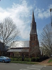 Episcopal Church of the NativityNational Historic Landmark · listed 1974
 Neutral Buoyancy Space SimulatorNational Historic Landmark · listed 1985
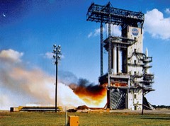 Propulsion and Structural Test FacilityNational Historic Landmark · listed 1985
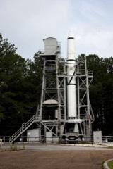 Redstone Test StandNational Historic Landmark · listed 1976
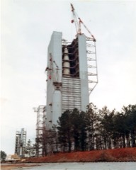 Saturn V Dynamic Test StandNational Historic Landmark · listed 1985
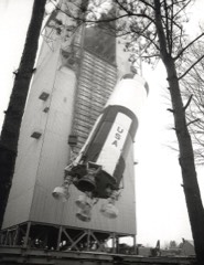 Saturn V Space VehicleNational Historic Landmark · listed 1978
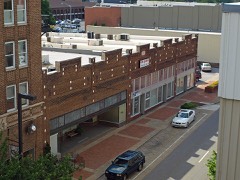 Beckers Blocklisted 1980
 Big Springlisted 1980
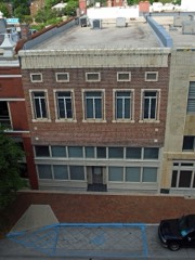 Building at 105 N. Washington Streetlisted 1984
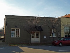 Building at 305 Jeffersonlisted 2003
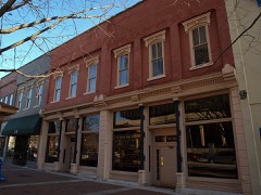 Buildings at 104-128 S. Side Sq.listed 1980
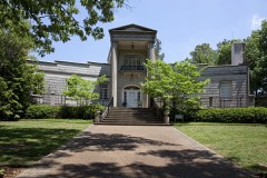 William Burritt Mansionlisted 1992
Every listing in Madison County
Surveyed buildings and structures 12 of 78 shown
- 1001 Meridian Street (House), Huntsvillefederal building survey, 1 photograph
- 11 North Broad Place, Southwest (House), 11 North Broad Place, Southwest, Huntsvillefederal building survey, 1 photograph
- 1100 Block Meridian Street (Commercial), Huntsvillefederal building survey, 1 photograph
- 115 King Avenue (House), Huntsvillefederal building survey, 1 photograph
- 124-126 King Avenue (House & Outbuilding), 124-126 King Avenue, Huntsvillefederal building survey, 1 photograph
- 1940 Ford G.P. - No. 1 (Pygmy), 2060A Airport Road, Huntsvillefederal building survey, 23 photographs
- 215 Abington Avenue (House), 215 Abington Avenue, Huntsvillefederal building survey, 1 photograph
- 2709 Ninth Avenue (House), Huntsvillefederal building survey, 1 photograph
- 2804 Ninth Avenue (house), 2804 Ninth Avenue, Huntsvillefederal building survey, 2 photographs
- 301 Abington Avenue (House), Huntsvillefederal building survey, 1 photograph
- 3312-3314 Alpine Street, Southwest (House), 3312-3314 Alpine Street, Southwest, Huntsvillefederal building survey, 1 photograph
- 3315 Alpine Street, Southwest (House), Huntsvillefederal building survey, 1 photograph
Population over time
2 figuresHuntsville grew from 180,105 to 215,006 between 2010 and 2020. These are the recorded population figures Wikidata holds for this place, reached through the Geographic Names Information System number this page is keyed on rather than by name, so they belong to this place and not to another of the same name. Most are census counts, but not all are: an early figure may be a founding or settlement estimate, and an estimate published within five years of a census is left out. The change column is computed, and is left blank where more than 20 years separate a figure from the one before it, because a gap that long is not a change between two counts.
| Year | People | Change |
|---|---|---|
| 2010 | 180,105 | |
| 2020 | 215,006 | +34,901 (+19%) |
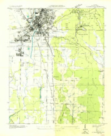
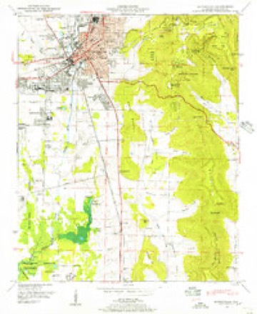
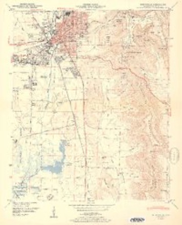
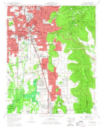
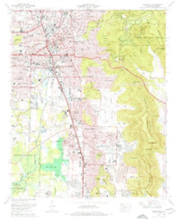
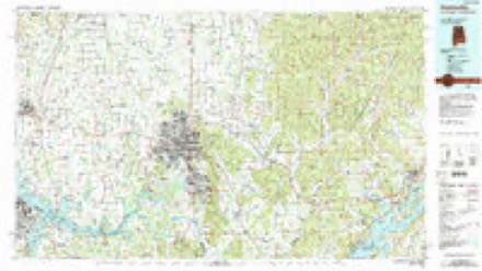
Topographic sheets covering this place
12 surveys from 25 printed sheetsMatched by testing this settlement's coordinate against the published boundary of every sheet in the United States Geological Survey's historical collection. Each opens the scanned sheet at the Survey.
- 1888 USGS Huntsville quadrangle1:125000
- 1892 USGS Huntsville quadrangle1:125000, 6 printings
- 1936 USGS Huntsville quadrangle1:24000
- 1948 USGS Huntsville quadrangle1:24000
- 1950 USGS Huntsville quadrangle1:24000, 2 printings
- 1956 USGS Gadsden quadrangle1:250000, 3 printings
- 1958 USGS Gadsden quadrangle1:250000
- 1960 USGS Gadsden quadrangle1:250000, 2 printings
- 1963 USGS Gadsden quadrangle1:250000
- 1964 USGS Huntsville quadrangle1:24000
- 1975 USGS Huntsville quadrangle1:24000, 3 printings
- 1984 USGS Huntsville quadrangle1:100000, 3 printings




What the histories say of this town
42,618 words1 chapter about Huntsville from the published histories of the county, public domain and reproduced complete.
| Chapter | From | Length |
|---|---|---|
| Early History of Huntsville, Alabama, 1804-1870 | Early History of Huntsville, Alabama, 1804-1870 (1916) | 42,618 words in 3 parts |
Photographs
8 of 40 photographs shown, 1939Taken for the Office of War Information and the Farm Security Administration, who photographed the country between 1935 and 1944. Works of United States government photographers, with no known restriction on use. Each opens its catalogue record.
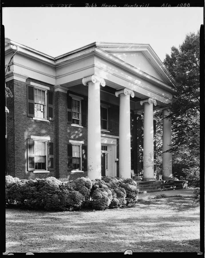
Johnston, Frances Benjamin, 1939. Library of Congress
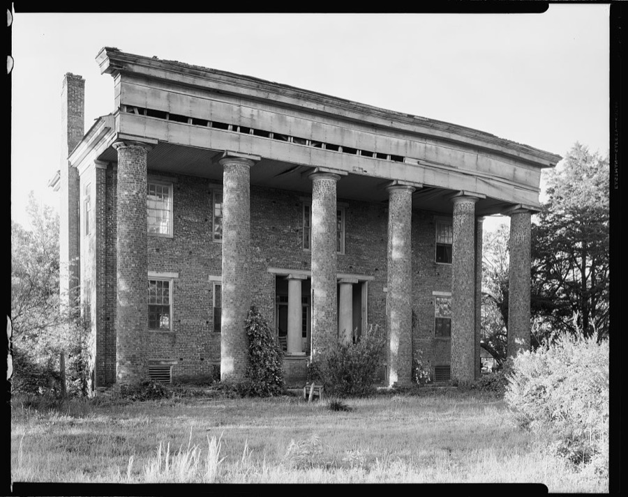
Johnston, Frances Benjamin, 1939. Library of Congress
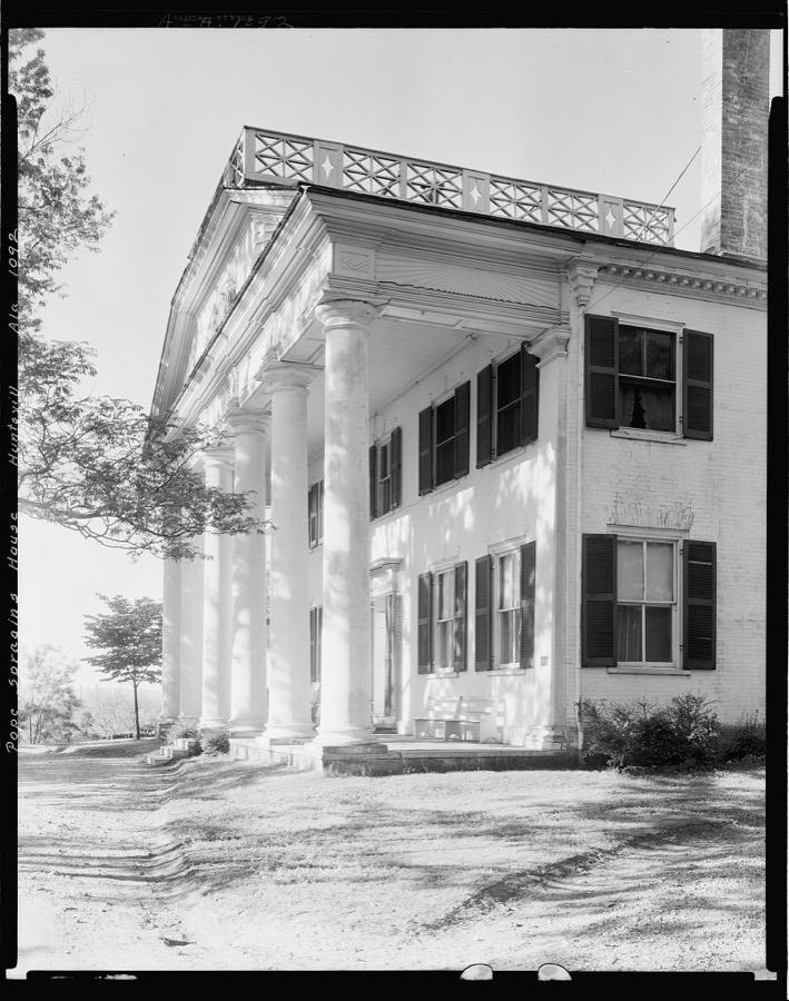
Johnston, Frances Benjamin, 1939. Library of Congress
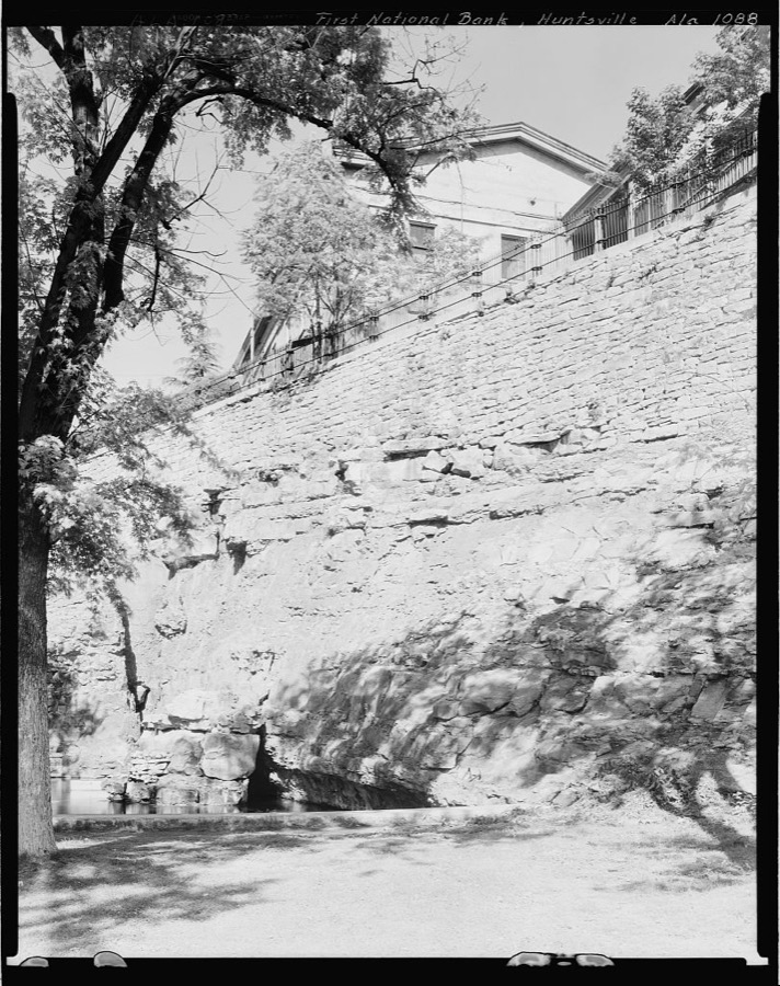
Johnston, Frances Benjamin, 1939. Library of Congress
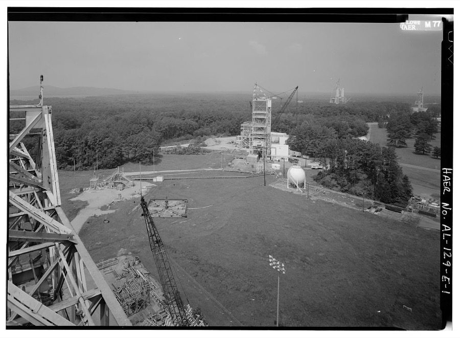
Photographer not recorded. Library of Congress
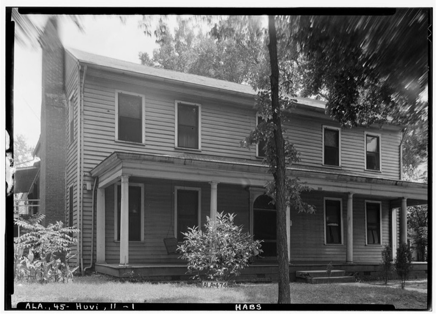
Photographer not recorded. Library of Congress
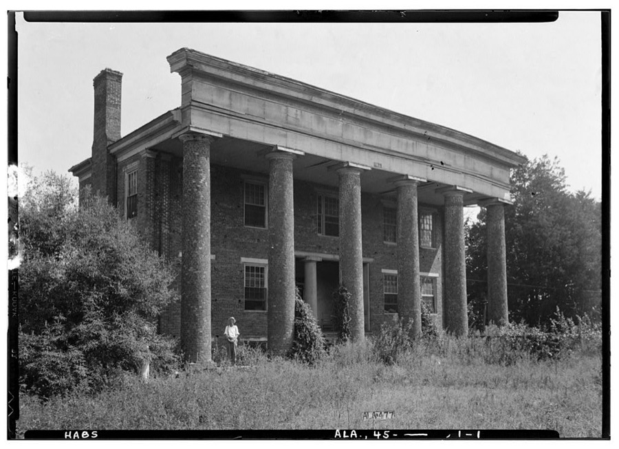
Photographer not recorded. Library of Congress
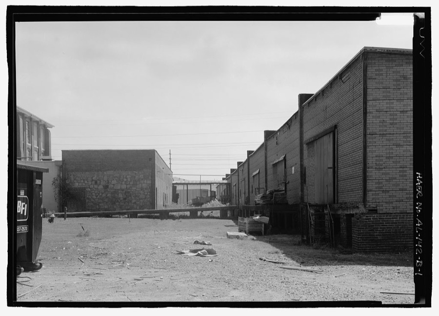
Photographer not recorded. Library of Congress
Every photograph of Madison County
Fires near this place
11 since 1999Regional context, not property-specific evidence. The federal wildfire occurrence database lists 11 fires within 5 miles of Huntsville between 1999 and 2011, burning about 34 acres in total. None started naturally. 3 were recorded as arson. Distance is straight-line from the map coordinates, so a fire counted here may appear on a neighbouring settlement's page as well.
| Reported cause | Fires |
|---|---|
| Debris and open burning | 5 |
| Arson/incendiarism | 3 |
| Equipment and vehicle use | 2 |
| Missing data/not specified/undetermined | 1 |
The most recent of them, most recent first, with the day each was reported and the service that recorded it.
| Date | Cause | Size | Reported by | Name on the report |
|---|---|---|---|---|
| 27 September 2001 | Debris and open burning | under an acre | Alabama Forestry Commission | not named |
| 16 September 1999 | Arson/incendiarism | under an acre | Alabama Forestry Commission | not named |
| 15 September 1999 | Arson/incendiarism | 3.0 acres | Alabama Forestry Commission | not named |
| 18 June 2008 | Debris and open burning | under an acre | Alabama Forestry Commission | 217 CHRIS RYAN LANE TONEY ALABAMA, AL |
| 12 June 2011 | Equipment and vehicle use | 25 acres | Alabama Forestry Commission | HUNTSVILLE BROWNS FERRY / MALONE ROAD, AL |
| 17 May 2001 | Debris and open burning | under an acre | Alabama Forestry Commission | not named |
| 29 April 2009 | Missing data/not specified/undetermined | under an acre | Alabama Forestry Commission | 209 TOWNSEND DR., AL |
| 25 April 2001 | Debris and open burning | under an acre | Alabama Forestry Commission | not named |
Settlements close enough to share some of these fires:
Mines and quarries near this place
3 within 5 milesRegional context, not property-specific evidence. The federal mineral resources record lists 3 workings within 5 miles of Huntsville: 1 plant, 1 unknown, 1 producer. 2 still produce. What was taken out: Sand and Gravel, Construction, Molybdenum. Distance is straight-line from the map coordinates, so a quarry counted here may appear on a neighbouring settlement's page as well.
| Where | Site | Commodity | Status | Recorded |
|---|---|---|---|---|
| Teledyne Wah Chang/Huntsville, Ala. | Molybdenum | Unknown | ||
| Baker Terminal | Sand and Gravel, Construction | Producer | ||
| Base Plant | Sand and Gravel, Construction | Plant |
Storms near this place
60 of 265 shownRegional context, not property-specific evidence. The National Weather Service names Huntsville in 265 storm reports between 1994 and 2025: 134 thunderstorm wind, 60 hail, 31 lightning, 28 flash flood. The reports record 2 deaths and 11 injuries. Each account below is quoted exactly as the forecast office filed it, from the NOAA Storm Events Database, and each date opens the federal record of that event.
| When | Event | Place named | Harm | What the report says |
|---|---|---|---|---|
| June 1999 | Flash Flood | Huntsville | 1 killed, 1 hurt, $1,500,000 | Heavy rainfall of four to seven inches, most of which occurred in just less than two hours, flooded the Huntsville area. According to newspaper reports, one woman was killed when her car stalled on a flooded bridge on Vermont Road. As she exited the car, she was swept away in the water. A television cameraman was injured when he was swept away by high water while filming. He was rescued by the Huntsville Fire Department. Several other motorists were stranded in high water and were rescued by the fire department. Numerous roads in the area were flooded and subsequently closed. Many local streams and creeks were out of their banks, sending several feet of water into approximately 300 homes and businesses. Several residents were rescued from their homes. Several thousand area customers were without power through the early morning hours due to lightning strikes. A mudslide occurred in Monte Sano State Park covering part of the park road. |
| August 2002 | Lightning | Huntsville | 1 killed, 1 hurt, $100,000 | Four fires were started almost simultaneously by lightning strikes. One man died in a fire caused by a lightning strike. This occurred when the Royal Pines apartment complex caught on fire and damaged eight units. One unit of the University Park Apartments was heavily damaged by a lightning induced fire. One house received attic damage from a fire and one person suffered smoke inhalation. |
| February 2000 | Thunderstorm Wind | Huntsville | 2 hurt, $250,000 | A downburst event began around 7:28 pm and continued about 4 minutes until 7:32 pm. Minor damage occurred just west of Huntsville Park with damage at Joe Davis Stadium and a shopping area known as Stadium Place. Several businesses sustained significant damage including an NTB store where the wind collapsed an exterior wall and threw roofing materials across Memorial Parkway. A number of other businesses in the immediate area sustained damage, too. Two people were apparently slightly injured as they sought shelter when the wind struck while eating at one of the restaurants that was damaged. After crossing Memorial Parkway, the downburst worked its way eastward blowing down numerous trees and power lines. The wind damage extended up the west side of a ridge running north from Garth Mountain. Significant damage ends near the top of the ridge. Most homes that were damaged had roof damage that consisted mainly of shingles being removed. One tree fell on a car and severely damaged it. One man was killed as he was walking across the Tennessee River Bridge in Madison County and fell off. County authorities were unsure whether it was directly related to the high wind or he jumped. |
| July 1998 | Lightning | Huntsville | 1 hurt, $75,000 | Lightning struck a tree outside the Huntsville city hall. The tree split in half and collapsed, falling on four city vehicles. A man was struck by lightning while doing yard work, he was transported to the hospital in critical condition. |
| January 1997 | Thunderstorm Wind | Huntsville | 1 hurt, $15,000 | no account filed |
| July 2004 | Tornado (F0) | Huntsville | 1 hurt, $10,000 | A short lived tornado produced scattered wind damage just southwest of Huntsville with a few trees snapped in half and one tree fell onto a home. One person was slightly injured due to the falling tree. |
| January 1997 | Lightning | Huntsville | 1 hurt, $10,000 | no account filed |
| October 2014 | Lightning | Huntsville | 1 hurt | A person was struck by lightning and was slightly injured. |
| May 2006 | Lightning | Huntsville | 1 hurt | Lightning struck adjacent to the National Weather Service office on the campus of the University of Alabama at Huntsville. A National Weather Service employee who was on-duty viewed the close flash through an adjacent window and experienced a jolt of electricity while using the telephone. Afterwards, the employee noticed a tingling sensation in his ear, arms and experienced a severe headache through that evening. No apparent damage was observed in the office or on office grounds. |
| May 2006 | Lightning | Huntsville | 1 hurt | A woman received minor injuries due to a lightning strike. Other details unknown. |
| June 2012 | Lightning | Huntsville | $250,000 | Lightning associated with the severe thunderstorms moving through Madison county, struck 10 homes and produced quite a bit of fire damage to these residences across the county. |
| September 2013 | Lightning | Huntsville | $200,000 | Lightning was suspected to have caused a house fire on Gables Brook Drive. Severe fire damage occurred to the home along with the roof collapsing as per the broadcast media photo and news report. No injuries occurred. |
| July 2003 | Thunderstorm Wind | Huntsville | $150,000 | several trees and power lines down and two apartment buildings sustained major roof and structural damage. |
| May 1998 | Lightning | Huntsville | $100,000 | Lightning struck an apartment building, setting it ablaze. Two apartments were heavily damaged and four others suffered moderate damage. A firefighter was injured while battling the blaze. |
| September 2011 | Lightning | Huntsville | $50,000 | Lightning sparked a fire at the Warren House apartments in northwest Huntsville. Extensive roof damage resulted. |
| April 1995 | Thunderstorm Wind | Huntsville | $50,000 | Strong wind severely damaged a large section of the Bethco manufacturing facility on Dug Hill Road. No injuries were reported among the 80 employees working in the building at the time of the damage. |
| June 1995 | Thunderstorm Wind | Huntsville | $50,000 | Thunderstorm wind that gusted to 58 mph took the roof off the fire department building located at the Huntsville International Airport. There were other reports from around the county of a few trees falling in the wind. At one point about 1,500 customers were without electrical power due primarily to trees falling on lines and lightning. Three-quarter inch hail was reported at Chase just east of Huntsville. |
| May 1994 | Thunderstorm Wind | Huntsville | $50,000 | Trees were reported down in Huntsville, Oakwood, and Hazel Green. |
| July 1997 | Lightning | Huntsville | $50,000 | no account filed |
| April 2009 | Thunderstorm Wind | Huntsville | $45,000 | Telephone poles and trees were reported down in southwestern portions of downtown Huntsville. A telephone pole fell on a house. |
| April 2001 | Lightning | Huntsville | $45,000 | Lightning apparently struck a pine tree close to the rear of a house on Carlisle Drive in Huntsville. The lightning traveled down the tree and jumped to guttering and into the house causing a fire that severely damaged the upper floor of the house. The rest of the house suffered smoke and water damage. Lightning detection equipment, part of a joint UAH/NWS project indicated the lightning strike was a positive polarity stroke. |
| July 1995 | Thunderstorm Wind | Huntsville | $45,000 | Thunderstorm wind downed a large tree in Huntsville that fell on three cars. |
| July 1995 | Thunderstorm Wind | Huntsville | $42,000 | At the Huntsville International Airport, the National Weather Service recorded a wind gust to 64 mph. Five cars and two airplanes were damaged, and several buildings at the airport sustained minor damage. |
| February 2001 | Tornado (F0) | Huntsville | $40,000 | A small tornado described by eye witnesses as a smooth funnel touched down in northwest Huntsville. The damage began near the intersection of Capshaw Road and Wall Triana Highway. The tornado damage path extended nearly due east for some distance before turning east-northeast and ending just west of Rideout Road. A damage survey was conducted of this event by meteorologists from UAH who described the damage path as narrow, focused, and convergent. Additional damage occurred in northeast Huntsville in the Chase area and may possibly have been another weak tornado touchdown. Beginning: 34 46.378/86 45.006 Ending: 34 46.769/86 40.393 |
| March 1995 | Thunderstorm Wind | Huntsville | $35,000 | Winds with a thunderstorm damaged a portion of an apartment complex removing the roof to at least one section. Eighteen families were displaced by the storm damage. One home nearby was damaged when a tree fell on it and about three other homes reported minor damage. A funnel cloud was reported near A & M University in North Huntsville. |
| July 1997 | Lightning | Huntsville | $35,000 | no account filed |
| May 1999 | Lightning | Huntsville | $30,000 | Lightning strikes caused several house fires around the city. A few homes had only minor smoke damage but a few others sustained substantial fire and water damage. One firefighter received minor injuries when falling debris landed on him inside one of the homes. |
| August 1999 | Lightning | Huntsville | $30,000 | Lightning struck the roof of a home in Huntsville and started a fire. The fire heavily damaged the roof of the home. |
| September 2012 | Lightning | Huntsville | $25,000 | Lightning struck a home and produced minor to moderate damage to it as it caught on fire in Huntsville. |
| January 1999 | Thunderstorm Wind | Huntsville | $25,000 | Wind damage was reported from northeast of Capshaw in Limestone County to just south of Harvest in Madison County. The downburst knocked down several power lines and some fencing. Several roofs blown off of utility buildings and out-houses. |
| July 1998 | Thunderstorm Wind | Huntsville | $25,000 | Wind knocked out several windows in the Huntsville Stars baseball stadium sky box. It also knocked over several signs in the outfield and the Marlboro Man was "decapitated." Several large limbs were also down in the area. |
| August 2002 | Thunderstorm Wind | Huntsville | $25,000 | no account filed |
| September 1996 | Thunderstorm Wind | Huntsville | $25,000 | no account filed |
| August 2007 | Flash Flood | Huntsville | $20,000 | A flash flood brought knee deep water to two homes in a residential community along Auburn Avenue and Stanford Street. |
| May 2006 | Lightning | Huntsville | $20,000 | At least two homes were struck by lightning igniting fires. Time estimated. At one residence in northwest Huntsville on Gunnison Lane, a law enforcement officer who witnessed the fire rescued the occupant. This home experienced extensive fire damage in the attic. Another structure was ignited by lightning on Hudson Drive in the Moores Mill area. |
| November 2003 | Thunderstorm Wind | Huntsville | $20,000 | Thunderstorm winds damaged two large buildings on the south end of Redstone Arsenal. Several trees were also blown down and three homes suffered minor roof damage due to the thunderstorm winds. |
| February 2000 | Thunderstorm Wind | Huntsville | $20,000 | Two tractor trailers were blown over on US 72 east of Huntsville. |
| April 1998 | Thunderstorm Wind | Huntsville | $20,000 | Trees were down on the northwest side of the city. |
| July 1996 | Lightning | Huntsville | $20,000 | no account filed |
| February 1997 | Thunderstorm Wind | Huntsville | $18,000 | no account filed |
| September 2012 | Thunderstorm Wind | Huntsville | $15,000 | A couple of power poles were blown down by thunderstorm winds in Huntsville. |
| July 2010 | Thunderstorm Wind | Huntsville | $15,000 | Thunderstorm wind damage knocked 2 trees down on top of a pickup truck at the intersection of Gallatin and Marsheutz. Time estimated based on radar. |
| July 2002 | Thunderstorm Wind | Huntsville | $15,000 | One large tree fell into an auto business causing damage in the city of Madison. Wind gusts measured at the Huntsville International Airport reached 68 miles an hour at 535 PM local time. |
| June 1999 | Lightning | Huntsville | $15,000 | Lightning knocked out five power substations operated by Huntsville Utilities. Service was disrupted to about 5,000 customers for several hours. |
| July 1999 | Thunderstorm Wind | Huntsville | $15,000 | Numerous reports of trees and power lines down were received from across the city of Huntsville. Power outages were widespread across the area and many roads were blocked because of downed trees. |
| September 1997 | Lightning | Huntsville | $15,000 | Lightning struck a home in Monrovia and caused moderate damage to the inside of the house and the roof. |
| May 1996 | Thunderstorm Wind | Huntsville | $15,000 | no account filed |
| May 1996 | Thunderstorm Wind | Huntsville | $15,000 | no account filed |
| August 1996 | Hail | Huntsville | $15,000 | no account filed |
| September 2012 | Thunderstorm Wind | Huntsville | $10,000 | A few power lines were downed by thunderstorm winds just southwest of Huntsville. |
| August 2011 | Lightning | Huntsville | $10,000 | Lightning struck and damaged several computers and equipment pm Westcorp Boulevard near Huntsville. |
| July 2010 | Thunderstorm Wind | Huntsville | $10,000 | Trees were knocked down onto two pick-up trucks on near the intersection of Gallatin and Marsheutz Roads. Time estimated by radar. |
| July 1999 | Thunderstorm Wind | Huntsville | $10,000 | A few trees were blown down in Huntsville. One automobile was damaged when a tree fell on it. |
| May 1997 | Tornado (F0) | Huntsville | $10,000 | A weak tornado touched down briefly south of Huntsville at the corner of Airport Road and Memorial Parkway. The awning of a Winn Dixie was ripped off. It was seen and video taped by several citizens and by a Channel 31 meteorologist. |
| August 1995 | Thunderstorm Wind | Huntsville | $10,000 | Emergency management reported large trees down on Sparkman Drive west of Blue Springs, on Green Mountain Road and East Bailey Cove, and on Walls Drive and Carrigen. Some power lines were also down. |
| August 2002 | Thunderstorm Wind | Huntsville | $10,000 | no account filed |
| January 1997 | Thunderstorm Wind | Huntsville | $10,000 | no account filed |
| July 1996 | Lightning | Huntsville | $10,000 | no account filed |
| May 1996 | Thunderstorm Wind | Huntsville | $10,000 | no account filed |
| May 1996 | Hail | Huntsville | $10,000 | no account filed |
Newspapers printed here
2,796 digitised pages2 papers published in this town, digitised by the Library of Congress and free to read: 695 issues, 2,796 pages. Every page is searchable, so a name or a street can be looked for directly in what the town printed about itself at the time.
| Newspaper | Published |
|---|---|
| The Huntsville Star | 1900 to 19?? |
| Huntsville Gazette | 1879 to 1894 |
What the paper printed
18,475 wordsFront pages of the local paper, read from the Library of Congress scans: 5 issues spread across its run from 1881 to 1900, 18,475 words in total. Each is reproduced on its own page, exactly as the recogniser returned it.
These pages read less well than anything else here, and the number is worth stating: about three words in four come through cleanly, against nine in ten for the building records. An 1896 broadsheet sets eight-point type in seven columns on microfilm, which is the hardest thing in this archive to read by machine. We tested our own recognisers against the Library's and they were not better, so the Library's text is what appears, with the wholly unreadable columns removed. Read it as a guide to what the paper covered, and follow the link to the scan before quoting anything.
| Issue | Paper | Length |
|---|---|---|
| 1900-01-26 | The Huntsville Star | 4,430 words |
| 1881-06-18 | Huntsville Gazette | 3,541 words |
| 1881-08-06 | Huntsville Gazette | 3,253 words |
| 1881-09-17 | Huntsville Gazette | 3,781 words |
| 1881-11-05 | Huntsville Gazette | 3,470 words |
Nearest settlements
The eight closest, with where each one stands in the county. Distances are straight-line, computed from the Geographic Names Information System coordinates.
| Map | Place | Distance | Sheets |
|---|---|---|---|
| Echols Hill | 0.6 miles | 25 | |
| Longwood | 0.8 miles | 25 | |
| Terry Heights | 1.0 miles | 25 | |
| Lincoln | 1.1 miles | 25 | |
| Dallas | 1.1 miles | 25 | |
| Mayfair | 1.3 miles | 25 | |
| West Huntsville | 1.4 miles | 25 | |
| Cavalry Hill | 1.5 miles | 25 |
Elsewhere
Matched on this settlement's Geographic Names Information System number rather than its name, so it cannot be a different place of the same name in another state.
| Wikipedia article on Huntsville | An encyclopaedic summary. Its text is share-alike, so it is linked here rather than copied. |
| Wikidata item Q79860 | The structured record the population and elevation above come from. Public domain (CC0). |
Provenance
This settlement is recorded in the Geographic Names Information System as feature 151827. The sheet list is computed by point-in-boundary test against the United States Geological Survey's historical topographic inventory. Both are works of the United States government and carry no copyright under 17 U.S.C. 105.
Wildfire. Short, Karen C. 2022. Spatial wildfire occurrence data for the United States, 1992-2020 [FPA_FOD_20221014]. 6th Edition. Fort Collins, CO: Forest Service Research Data Archive. https://doi.org/10.2737/RDS-2013-0009.6 Collected with United States Government funding and usable without additional permissions or fees.
Mines and quarries. USGS Mineral Resources Data System (MRDS) https://mrdata.usgs.gov/mrds/ A work of the United States government, no copyright under 17 U.S.C. 105.
Storms. NOAA National Centers for Environmental Information, Storm Events Database https://www.ncei.noaa.gov/stormevents/ A work of the United States government, no copyright under 17 U.S.C. 105. Narratives are quoted verbatim from the National Weather Service report and are not edited or summarised.