 Block
Ider, Alabama
21 topographic sheets cover this place, the earliest surveyed in 1886 and the latest in 1981. It stands in the Ider census division. It lies in ZIP code area 35981. It stands on Fuller Creek. The Survey maps it on the Ider quadrangle. 735 people lived here at the 2020 count. It stands 1,545 feet above sea level.
Population over time
2 figuresIder grew from 723 to 735 between 2010 and 2020. These are the recorded population figures Wikidata holds for this place, reached through the Geographic Names Information System number this page is keyed on rather than by name, so they belong to this place and not to another of the same name. Most are census counts, but not all are: an early figure may be a founding or settlement estimate, and an estimate published within five years of a census is left out. The change column is computed, and is left blank where more than 20 years separate a figure from the one before it, because a gap that long is not a change between two counts.
| Year | People | Change |
|---|---|---|
| 2010 | 723 | |
| 2020 | 735 | +12 (+2%) |
Topographic sheets covering this place
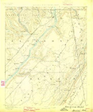
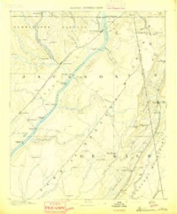
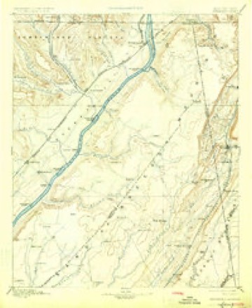
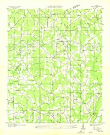
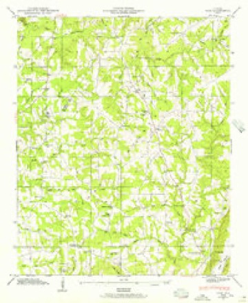
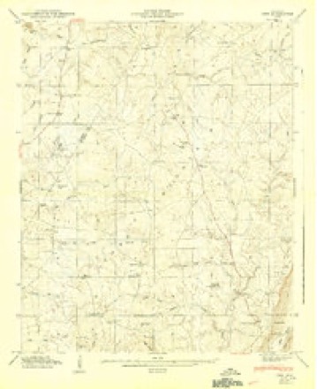
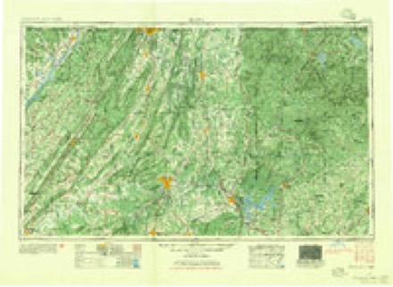
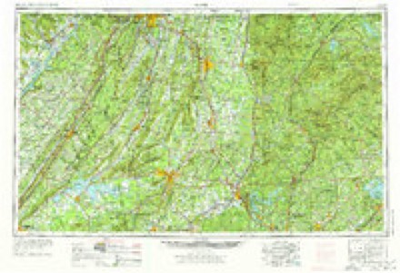
11 surveys from 21 printed sheetsMatched by testing this settlement's coordinate against the published boundary of every sheet in the United States Geological Survey's historical collection. Each opens the scanned sheet at the Survey.
- 1886 USGS Stevenson quadrangle1:125000
- 1892 USGS Stevenson quadrangle1:125000
- 1895 USGS Stevenson quadrangle1:125000, 6 printings
- 1936 USGS Ider quadrangle1:24000
- 1946 USGS Ider quadrangle1:24000, 2 printings
- 1947 USGS Ider quadrangle1:24000, 2 printings
- 1955 USGS Rome quadrangle1:250000
- 1958 USGS Rome quadrangle1:250000, 3 printings
- 1961 USGS Rome quadrangle1:250000
- 1963 USGS Rome quadrangle1:250000
- 1981 USGS Chickamauga quadrangle1:100000, 2 printings
Fires near this place
177 since 1994Regional context, not property-specific evidence. The federal wildfire occurrence database lists 177 fires within 5 miles of Ider between 1994 and 2020, burning about 1,708 acres in total. None started naturally. 63 were recorded as arson. Distance is straight-line from the map coordinates, so a fire counted here may appear on a neighbouring settlement's page as well.
| Reported cause | Fires |
|---|---|
| Missing data/not specified/undetermined | 64 |
| Arson/incendiarism | 63 |
| Debris and open burning | 46 |
| Misuse of fire by a minor | 2 |
| Equipment and vehicle use | 2 |
The most recent of them, most recent first, with the day each was reported and the service that recorded it.
| Date | Cause | Size | Reported by | Name on the report |
|---|---|---|---|---|
| 7 September 1997 | Debris and open burning | 5.0 acres | Alabama Forestry Commission | not named |
| 22 September 2020 | Debris and open burning | 4.0 acres | Alabama Forestry Commission | 20200922-3 |
| 21 September 2005 | Arson/incendiarism | 6.0 acres | Alabama Forestry Commission | not named |
| 20 September 1998 | Arson/incendiarism | 5.0 acres | Alabama Forestry Commission | not named |
| 2 September 2011 | Debris and open burning | 65 acres | Alabama Forestry Commission | 785 CR 346, AL |
| 2 September 2010 | Missing data/not specified/undetermined | 15 acres | Alabama Forestry Commission | not named |
| 2 September 1999 | Arson/incendiarism | 3.0 acres | Alabama Forestry Commission | not named |
| 19 September 2010 | Arson/incendiarism | 12 acres | Alabama Forestry Commission | not named |
Settlements close enough to share some of these fires:
Mines and quarries near this place
2 within 5 milesRegional context, not property-specific evidence. The federal mineral resources record lists 2 workings within 5 miles of Ider: 1 past producer, 1 prospect. None of them still produces. What was taken out: Iron, Clay. Distance is straight-line from the map coordinates, so a quarry counted here may appear on a neighbouring settlement's page as well.
| Where | Site | Commodity | Status | Recorded |
|---|---|---|---|---|
| Jac 8 Clay Prospect | Clay | Prospect | ||
| Woodstock Land & Mineral Mines | Iron | Past Producer |
Storms near this place
36 since 1996Regional context, not property-specific evidence. The National Weather Service names Ider in 36 storm reports between 1996 and 2025: 24 thunderstorm wind, 6 hail, 6 tornado. The reports record 7 deaths and 9 injuries. Each account below is quoted exactly as the forecast office filed it, from the NOAA Storm Events Database, and each date opens the federal record of that event.
| When | Event | Place named | Harm | What the report says |
|---|---|---|---|---|
| April 2011 | Tornado (EF4) | Ider | 6 killed | A violent tornado continued its wide path of violent destruction across the northern tip of DeKalb County in the Shiloh community. The tornado killed 6 people in this area (12 total along its path across Jackson and DeKalb counties). Several cinder block foundation homes and mobile homes were completely destroyed or swept away. In addition, thousands of large trees were sheared off toward the base. An older two-story and fairly well-built log cabin home was destroyed. The top story of this home was lifted off, moved about 20 yards and twisted 180 degrees. The lower story collapsed and was shifted off its foundation. A senior citizen van was lofted and dropped into a field nearly 400 yards away. At least 3 chicken barns collapsed with a high loss of livestock noted. The tornado crossed into Dade County Georgia with a 1/4 to 1/2 mile wide path along County Road 155 north of Highway 75. |
| November 2016 | Tornado (EF3) | Ider | 1 killed, 9 hurt | The assessment team was able to connect the previous Rosalie track to the Ider track after observing significant roof damage to single family home with complete destruction to a barn on the property near the intersection of CR-345 and CR-78. Additional points were added along CR-330 to CR-117 (DeKalb Co.) after the team recorded snapped softwood and hardwood trees and damage to a large anchored shed.||Significant damage was observed from the tornado along CR-117 and CR-159. Numerous hardwood and softwood trees were either uprooted or snapped at the |trunk along CR-117 leading up to CR-159. The strongest winds of this tornado were recorded near this location. A one story day care center was completely destroyed and blown off its foundation. Preliminary info recorded 10 injuries at this location. The damage assessment team noted the structure was bolted the foundation, however the floor plates connecting to the foundation were observed to have some degree of degradation. This led to a preliminary assessment of a tornado of EF-3 strength with winds approximately 145 mph. *Update: of the 10 injuries, one individual has since passed away on 2/8/17. ||Between CR-117 and AL-75 in DeKalb County, numerous chicken farms were completely destroyed along. Several homes in the area sustained significant roof damage and two anchored mobiles homes were observed to have rolled. One unanchored mobile home was completely destroyed with scattered debris. ||Finally, the team traveled along CR-792 in the Deer Head Cove area (near the AL/GA|state line) and observed complete destruction to a well anchored and large metal |shed. Winds were estimated to be 111 MPH at this location. Numerous soft wood pine trees were snapped or uprooted up to the AL/GA state line. The team traveled into|nearby Dade County, observed minor debris, but no damage. |
| May 1998 | Thunderstorm Wind | Ider | $20,000 | Trees were down and the Beulah Chapel Baptist Church sustained roof damage, all in the Cartersville community. |
| March 1996 | Thunderstorm Wind | Ider | $15,000 | no account filed |
| August 2000 | Thunderstorm Wind | Ider | $10,000 | Several trees and power lines were blown down just northeast of the city of Ider and in Rogers. |
| March 1996 | Thunderstorm Wind | Ider | $10,000 | no account filed |
| December 2005 | Thunderstorm Wind | Ider | $5,000 | BUILDINGS WERE DAMAGED ALONG HIGHWAYS 75 AND 117. |
| March 1997 | Hail | Ider | $5,000 | no account filed |
| April 2002 | Hail | Ider | $4,000 | Golf ball size hail was observed in Ider. |
| May 2001 | Hail | Ider | $3,000 | Golf ball size hail was reported in Ider. |
| January 2019 | Thunderstorm Wind | Ider | $2,000 | A few trees were snapped just west of Ider. |
| May 2025 | Thunderstorm Wind | Ider | $1,000 | A tree was reported down blocking both lanes of CR 177. |
| June 2025 | Thunderstorm Wind | Ider | $1,000 | A tree was knocked down on CR 140. Time estimated by radar. |
| August 2023 | Thunderstorm Wind | Ider | $1,000 | A tree was knocked down onto a home on the 5200 block of CR 141. Time was estimated from radar data. |
| June 2014 | Thunderstorm Wind | Ider | $1,000 | A tree was downed by thunderstorm winds near the intersection of county road 121 and country lane near Ider, Alabama. |
| May 2010 | Thunderstorm Wind | Ider | $800 | Thunderstorm winds knocked trees down along County Road 140 about 1/2 mile southeast of Highway 75. |
| August 2023 | Thunderstorm Wind | Ider | $500 | A large tree was knocked down onto a home at 6350 Willow Road. Time estimated by radar. |
| November 2010 | Thunderstorm Wind | Ider | $500 | A tree was knocked down along CR 141 near Ider. Time estimated by radar. |
| March 2023 | Tornado (EF0) | Ider | - | Aerial surveillance provided by Jackson County Emergency Management Agency (EMA), supplemented by a ground survey of National Weather Service personnel and DeKalb County EMA confirmed an EF-1 tornado near the Flat Rock area.||The tornado tracked from Jackson into DeKalb County where it caused minor roof damage to a single-family home and uprooted several trees. As it tracked east to Highway 75, power poles were tilted, and additional trees were uprooted before the tornado lifted just east of Highway 75. |
| April 2020 | Tornado (EF1) | Ider | - | The tornado touched down one-half mile to the west of Shiloh Community Church, damaging a barn. The tornado moved eastward along County Road 814 approaching the community of Shiloh. The greatest structural damage occurred at the church, with large sections of roof being damaged, and the walkway covering being removed from the church. At this point the tornado was at its widest. The tornado continued moving to the east toward the Alabama/Georgia state line. Along the path, relatively minor damage occurred to several mobile homes, peeling back metal from the roofs, and snapping both hardwood and softwood trees. The tornado further strengthened and became larger in size after it crossed into Dade County Georgia. |
| June 2018 | Tornado (EF1) | Ider | - | After the tornado crossed from Jackson into DeKalb County, a house on County Road 169 had the most damage with three very healthy trees completely snapped off at the exact same height with estimated winds of 990 mph. Other trees on the property were snapped near the base and multiple very large limbs were knocked down. This is where the tornado was at its widest with other snapped trees noted along County Road 169. The last of the damage was found on County Road 817 with a metal roof from a house peeled off and thrown behind the house. A snapped tree was observed as well. |
| June 2018 | Thunderstorm Wind | Ider | - | Trees and power lines were knocked down at CR 784 in Ider. |
| June 2015 | Thunderstorm Wind | Ider | - | A few trees were downed by thunderstorm winds in the Ider area. An external tin roof on an apartment complex was also blown off along Highway 75, with a few trees and power lines downed by thunderstorm winds. |
| April 2013 | Hail | Ider | - | Golf ball sized hail was reported. |
| February 2011 | Thunderstorm Wind | Ider | - | Several trees were blown down across CR 811. |
| April 2011 | Tornado (EF1) | Ider | - | A tornado of EF-1 intensity producing wind speeds of up to 110 mph tracked out of Jackson County and took a short path into DeKalb County. Details are limited with this tornado path as later this same day, a violent tornado of EF-4 intensity struck the same area in a similar path making it very difficult to distinguish damage between the two tornadoes. |
| June 2011 | Hail | Ider | - | Hail up to the size of baseballs was reported on CR 778. |
| October 2010 | Hail | Ider | - | Quarter inch hail was reported. |
| October 2007 | Thunderstorm Wind | Ider | - | Thunderstorm winds blew down a tree onto CR 776 two miles north-northeast of Ider. |
| October 2007 | Thunderstorm Wind | Ider | - | Thunderstorm winds blew trees down onto CR 140 approximately one mile north of the Ider community. |
| May 2006 | Thunderstorm Wind | Ider | - | Trees were blown down in multiple location including a large tree down onto Highway 75. |
| December 2004 | Thunderstorm Wind | Ider | - | A few trees were blown down by thunderstorm winds. |
| May 2004 | Thunderstorm Wind | Ider | - | Local electric company reported two trees and a few powerlines down. |
| June 2004 | Thunderstorm Wind | Ider | - | A few power lines were blown down by thunderstorm winds. |
| February 2003 | Thunderstorm Wind | Ider | - | A few power lines down. |
| June 2003 | Thunderstorm Wind | Ider | - | few trees down. |
Nearest settlements
The eight closest, with where each one stands in the county. Distances are straight-line, computed from the Geographic Names Information System coordinates.
| Map | Place | Distance | Sheets |
|---|---|---|---|
| Skaggs Corner | 1.3 miles | 21 | |
| Beaty Crossroads | 1.4 miles | 21 | |
| Yorks Mill | 2.1 miles | 21 | |
| Keith | 2.5 miles | 21 | |
| Old Blevins Mill | 3.1 miles | 21 | |
| Gann Crossroad | 3.5 miles | 23 | |
| Biddle Crossroads | 3.9 miles | 21 | |
| Townsend Crossroads | 4.6 miles | 21 |
Elsewhere
Matched on this settlement's Geographic Names Information System number rather than its name, so it cannot be a different place of the same name in another state.
| Wikipedia article on Ider | An encyclopaedic summary. Its text is share-alike, so it is linked here rather than copied. |
| Wikidata item Q68426 | The structured record the population and elevation above come from. Public domain (CC0). |
Provenance
This settlement is recorded in the Geographic Names Information System as feature 150301. The sheet list is computed by point-in-boundary test against the United States Geological Survey's historical topographic inventory. Both are works of the United States government and carry no copyright under 17 U.S.C. 105.
Wildfire. Short, Karen C. 2022. Spatial wildfire occurrence data for the United States, 1992-2020 [FPA_FOD_20221014]. 6th Edition. Fort Collins, CO: Forest Service Research Data Archive. https://doi.org/10.2737/RDS-2013-0009.6 Collected with United States Government funding and usable without additional permissions or fees.
Mines and quarries. USGS Mineral Resources Data System (MRDS) https://mrdata.usgs.gov/mrds/ A work of the United States government, no copyright under 17 U.S.C. 105.
Storms. NOAA National Centers for Environmental Information, Storm Events Database https://www.ncei.noaa.gov/stormevents/ A work of the United States government, no copyright under 17 U.S.C. 105. Narratives are quoted verbatim from the National Weather Service report and are not edited or summarised.