 Block
From the record
13 National Register listings published here.
Sources: the National Register database, National Park Service
139 topographic sheets and 5 fire insurance atlases across 1 place.
13 National Register listings published here.
Sources: the National Register database, National Park Service
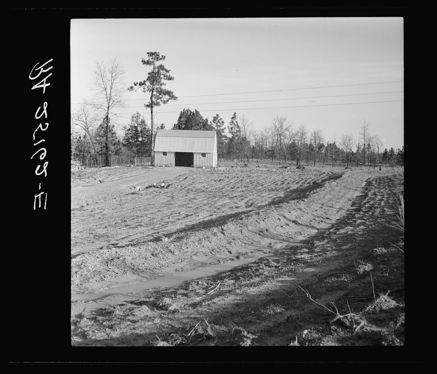
Taken for the Office of War Information and the Farm Security Administration, who photographed the country between 1935 and 1944. Works of United States government photographers, with no known restriction on use. Each opens its catalogue record.
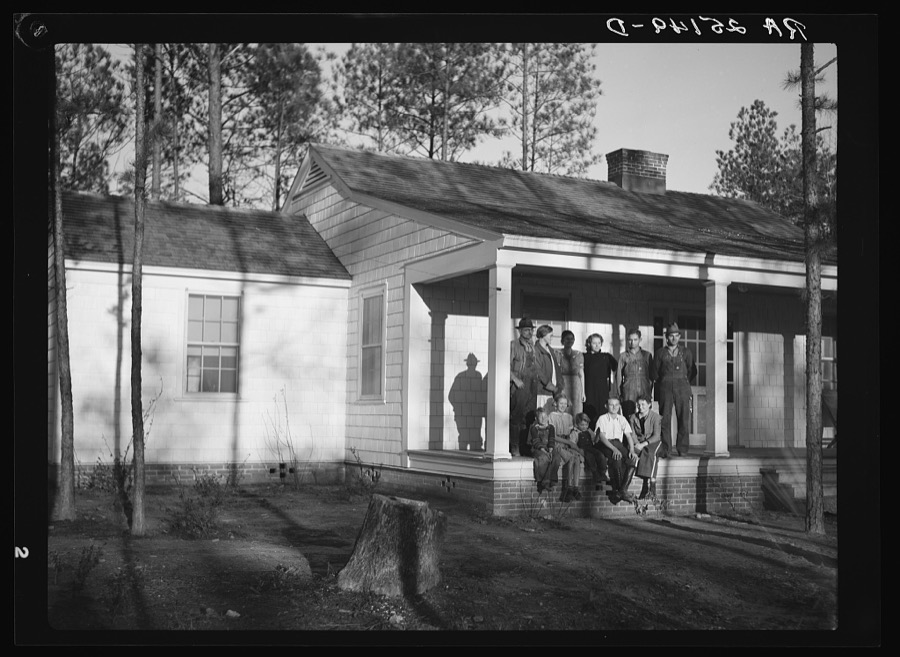
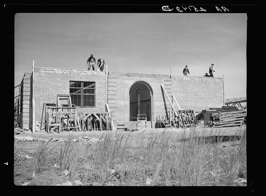

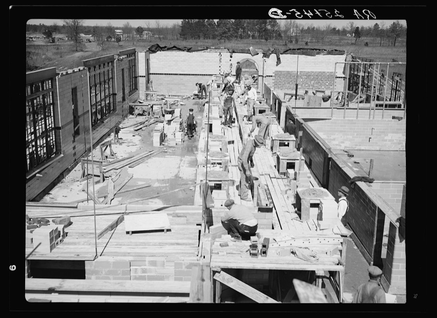
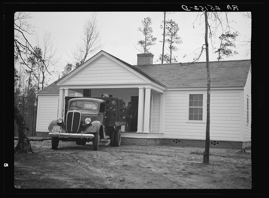
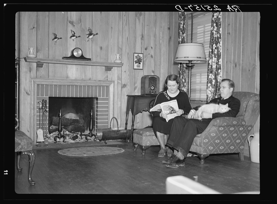
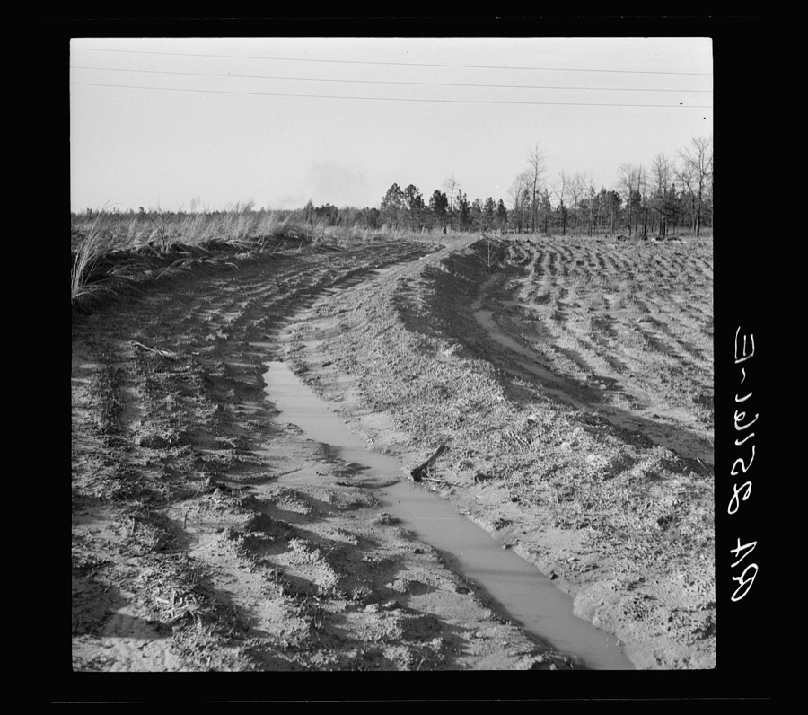
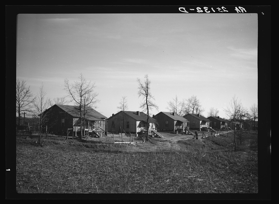
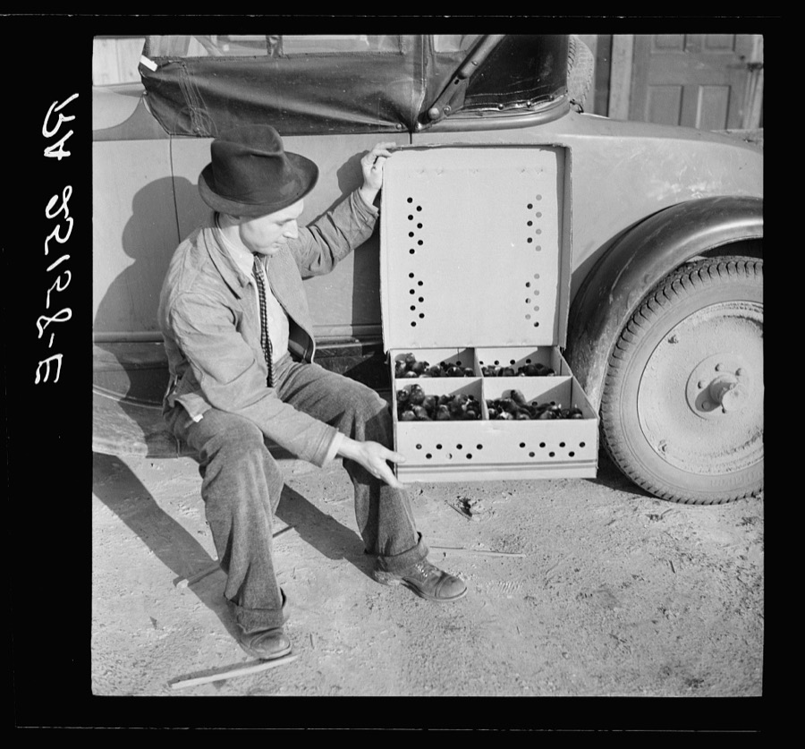
Every property in this county listed on the National Register of Historic Places, with the year it was listed and the federal nomination document.
| Photograph | Property | Type | Listed | Reference |
|---|---|---|---|---|
 | Alabama Builder's Hardware Manufacturing Company Complex (Boundary Increase) | building | 1992 | 92000637 |
 | Alabama Builders' Hardware Manufacturing Company | building | 1986 | 86000999 |
 | Alabama Great Southern Railroad Passenger Depot | building | 1971 | 71001070 |
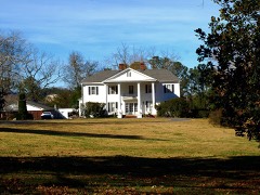 | Cherokee Plantation | building | 1984 | 84000384 |
| Collinsville Historic District | district | 2006 | 06000181 | |
 | Fort Payne Boom Town Historic District | district | 1989 | 89000308 |
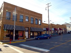 | Fort Payne Main Street Historic District | district | 1989 | 89000307 |
 | Fort Payne Opera House | building | 1970 | 74002262 |
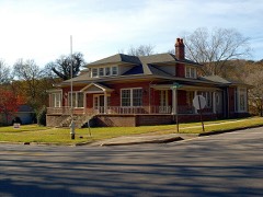 | Fort Payne Residential Historic District | district | 1988 | 88000444 |
 | Dr. J. A. Gorman House | building | 1996 | 96000045 |
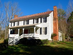 | Vance C. Larmore House | building | 2004 | 04000232 |
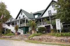 | Mentone Springs Hotel | building | 1983 | 83003445 |
 | Winston Place | building | 1987 | 87000476 |
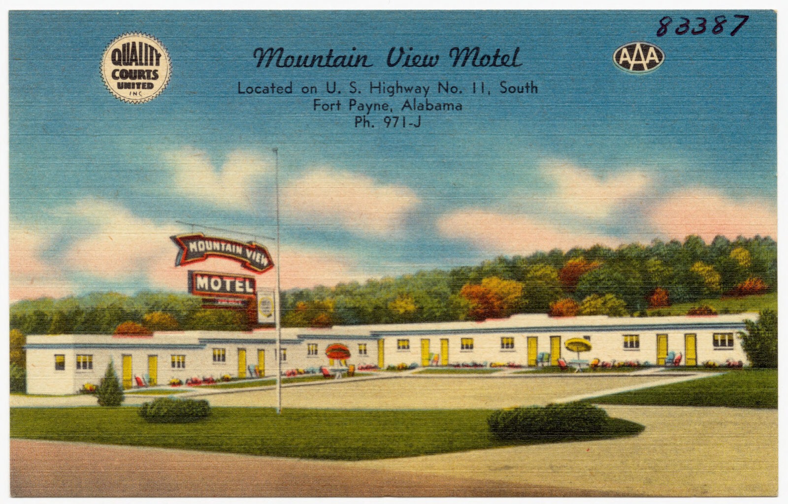
Selected from the Digital Public Library of America's 1 image records catalogued for this county. Every one shown here carries a public-domain status or a licence that permits reuse on a site that carries advertising; non-commercial, share-alike and restricted images are excluded. The selection is spread across the county's towns (at most eight per town), so no single institution's bulk upload crowds out the rest. Each opens the holding library's record, and the complete set at the Digital Public Library of America is one click away.
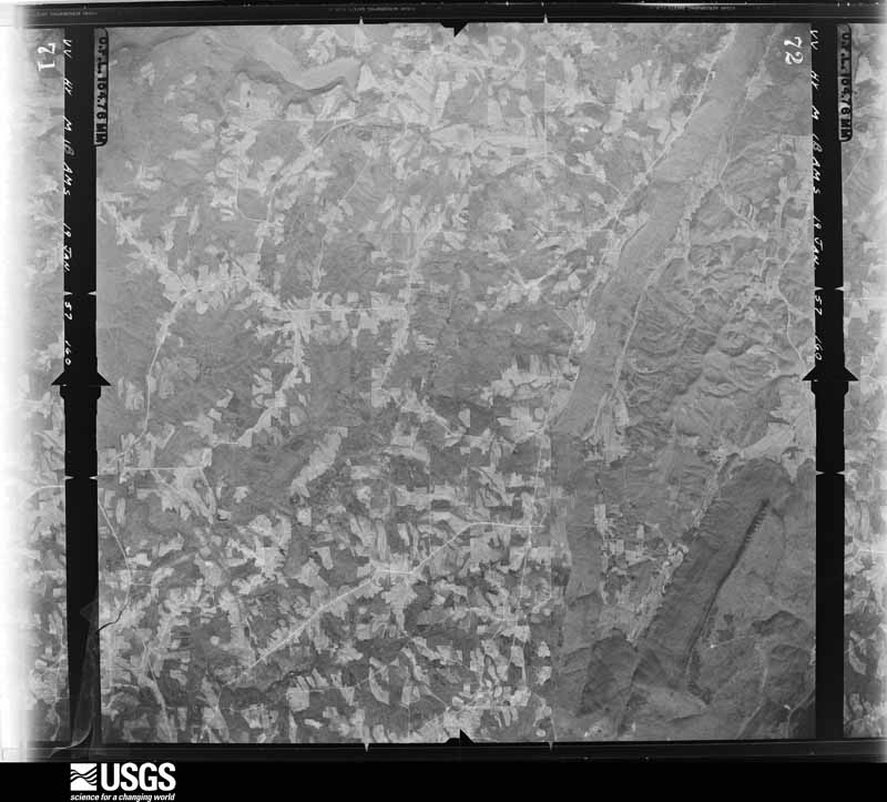
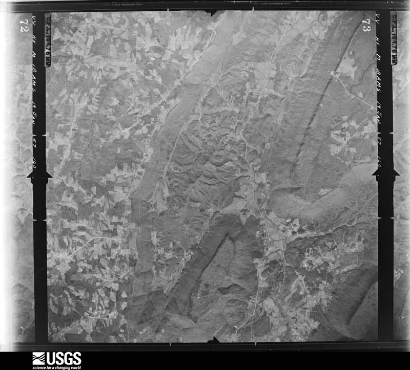
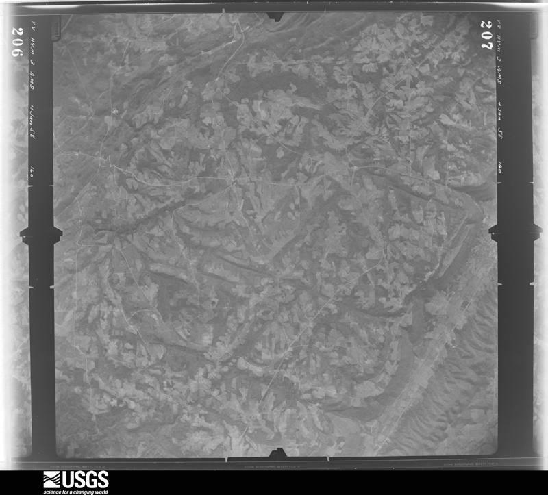
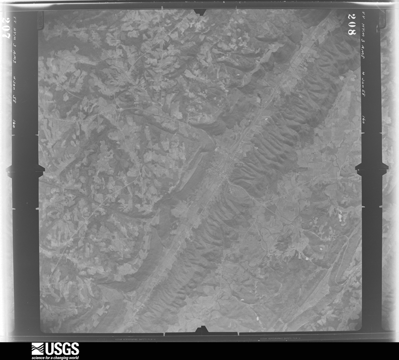
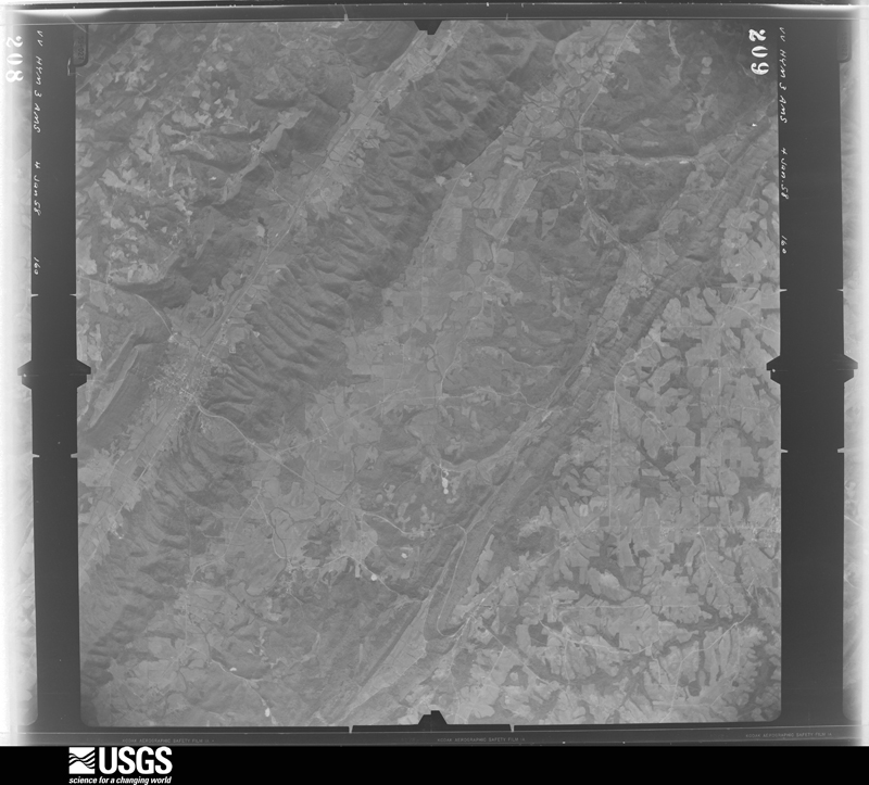
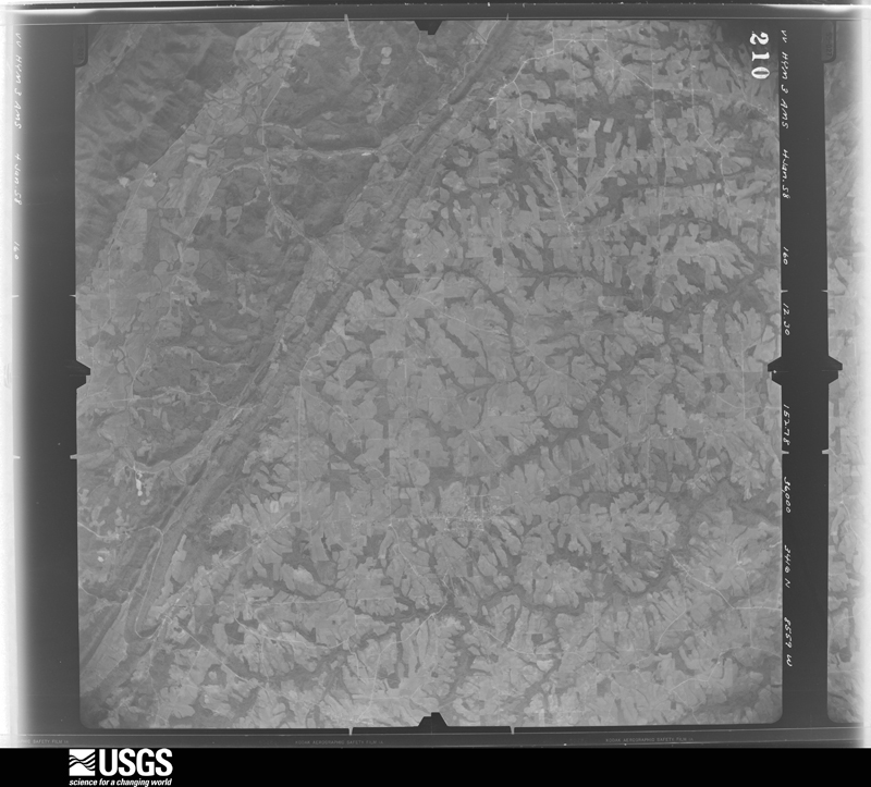
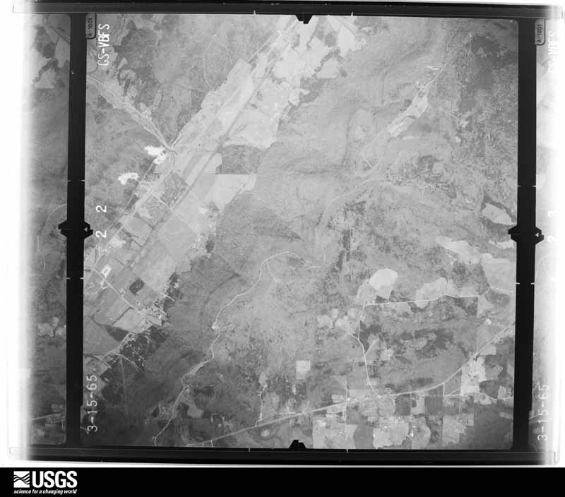
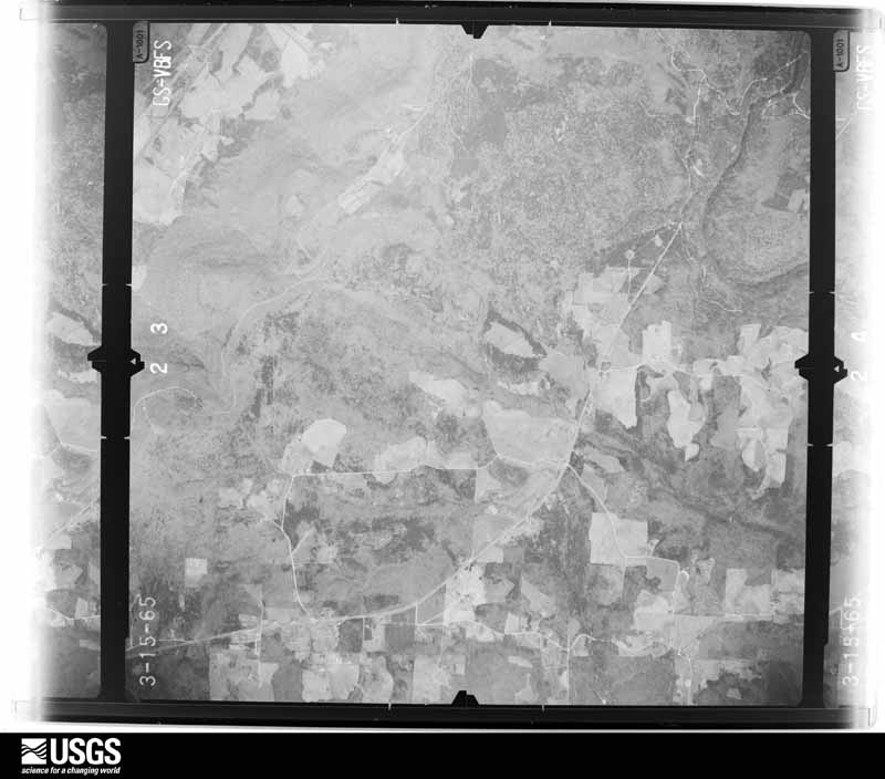
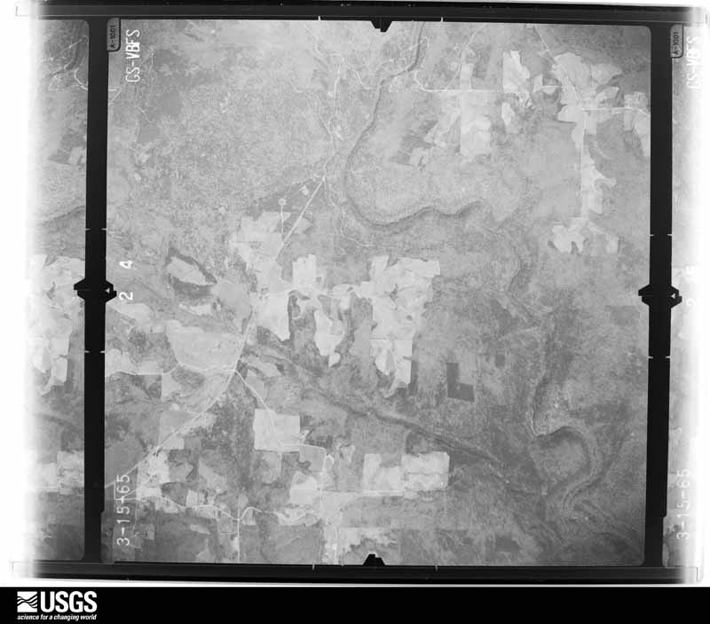
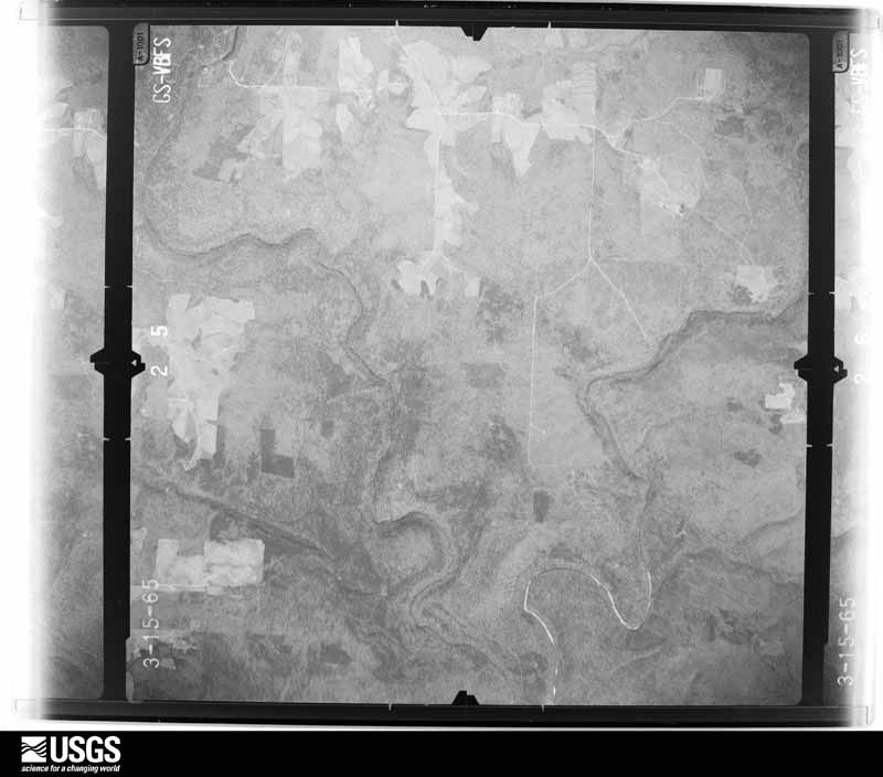
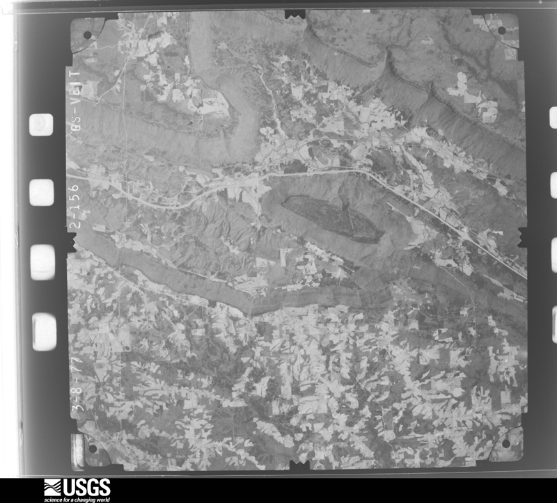
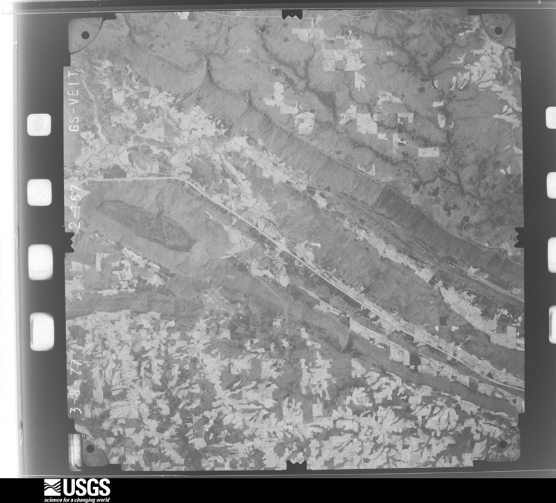
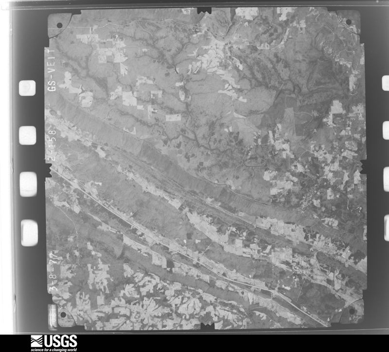
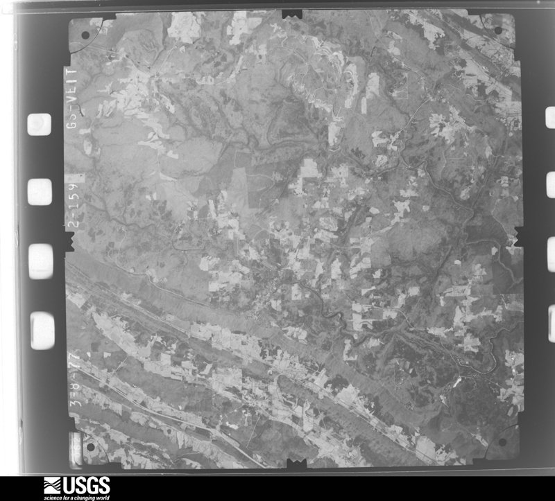
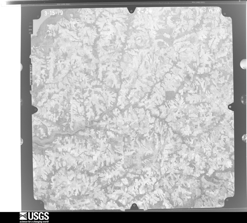
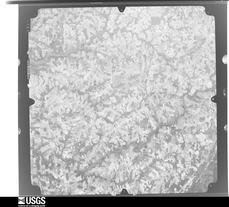
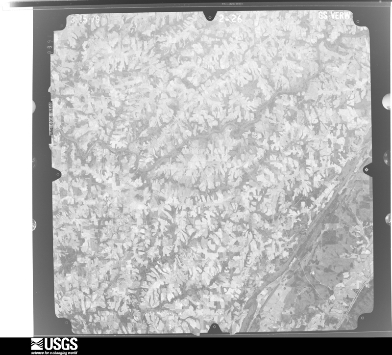
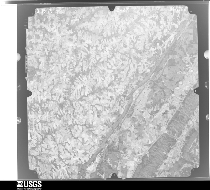
Flown by the U.S. Geological Survey between 1937 and 1989, the Aerial Photo Single Frames collection is the definitive mid-century view of the land: fields, roads and rivers as the camera saw them. The Survey holds 596 frames inside the rectangle that bounds this county; the 30 frames below were taken over the county itself, chosen across the decades of flights (at most four a year from that rectangle), so one flight cannot crowd out the rest. The full set is free to browse and download at EarthExplorer under the dataset Aerial Photo Single Frames.












The thermometers that kept this county's weather, and the gages that measured the flow of its streams, as the federal records hold them. The extremes below are measured values from those records, not estimates.
Who lived here in 1950, one enumeration district at a time, as the Census Bureau described each district. Each row opens its official National Archives result, with Population Schedules and ED Maps available there.
Every wildfire the federal occurrence database records inside this county: 1,416 of them, burning about 24,976 acres. 5 started naturally and 526 were recorded as arson. Each settlement page carries the fires within five miles of it.
| Reported cause | Fires |
|---|---|
| Arson/incendiarism | 526 |
| Debris and open burning | 431 |
| Missing data/not specified/undetermined | 364 |
| Equipment and vehicle use | 37 |
| Recreation and ceremony | 29 |
| Misuse of fire by a minor | 10 |
| Smoking | 6 |
| Natural | 5 |
| Other causes | 3 |
| Railroad operations and maintenance | 3 |
| Fireworks | 2 |
The five largest, by the area the report gives. Two of them were set deliberately.
| Date | Cause | Size | Reported by | Name on the report |
|---|---|---|---|---|
| 10 April 2014 | Missing data/not specified/undetermined | 2,000 acres | Natchez Trace Parkway | LIRI- SLANT ROCK |
| 9 November 2016 | Missing data/not specified/undetermined | 2,000 acres | Alabama Forestry Commission | LOOKOUT MOUNTAIN |
| 6 December 2006 | Misuse of fire by a minor | 1,448 acres | Little River Canyon National Preserve | RD07-09 |
| 5 March 2006 | Arson/incendiarism | 900 acres | Little River Canyon National Preserve | ROAD 09-08 WF |
| 11 December 2006 | Missing data/not specified/undetermined | 550 acres | Alabama Forestry Commission | BIG RIDGE |
| 24 March 2009 | Arson/incendiarism | 500 acres | Alabama Forestry Commission | CO RD 476, AL |
| 29 August 2011 | Missing data/not specified/undetermined | 404 acres | Alabama Forestry Commission | 2069 CR 739, AL |
| 19 September 2019 | Missing data/not specified/undetermined | 391 acres | Alabama Forestry Commission | 20190919-35 |
Every settlement page carries the fires within five miles of it - see the settlement index below.
The NOAA Storm Events Database holds 972 reports for this county, causing 37 deaths, 168 injuries and about $32,138,400 in recorded property damage. Each settlement page carries the reports that name it.
| Kind of event | Reports |
|---|---|
| Thunderstorm Wind | 579 |
| Hail | 197 |
| Tornado | 74 |
| Flash Flood | 62 |
| Flood | 22 |
| Lightning | 17 |
| Heavy Rain | 17 |
| Funnel Cloud | 4 |
The most serious of them, by death, then injury, then recorded damage. The accounts are quoted exactly as the forecast office filed them.
| When | Event | Place named | Harm | What the report says |
|---|---|---|---|---|
| April 2011 | Tornado (EF5) | Ten Broeck | 25 killed | A violent long track tornado began in the Lakeview community northeast of Geraldine before tracking northeastward, generally parallel to and just east of State Route 75. Along this line, the tornado passed through Fyffe, Rainsville, Sylvania, and eventually into northern DeKalb County south of the Cartersville community, killing 25 people. On the first day of surveys, the survey team noticed initial damage in the Lakeview community where the path width was generally around 50 yards. This initial damage included mostly felled and snapped trees and structural damage to small buildings. Extensive damage was noted especially in Rainsville and Sylvania where the path width was estimated to over 1/2 mile wide. Damage in Rainsville included houses that were completely removed from foundations, with debris scattered for about one mile. Near this location, trees were debarked and a few mobile homes were completely destroyed, with debris strewn for about a mile downstream.||A narrow corridor of intense damage extended from Skaggs Road to Lingerfeldt Road (also known as County Road 180), extending toward County Road 514. Along Skaggs Road, a stone house was completely obliterated with much of the interior debris strewn well away from the structure. A supporting large cement stone pillar was ripped completely out of the ground. Another home along Skaggs Road was also leveled completely to the ground. The NOAA overflight showed significant ground scarring in this area and a walk through the nearby fields showed large pot marks and other sections of disturbed ground. ||Slightly northeast along Lingerfeldt Road, numerous homes were leveled completely to their foundation with vehicles and debris strewn for hundreds of feet. Overhead photos and follow-up visual confirmation revealed a mangled vehicle tossed well into a ravine and resting up in the remainder of trees. At 1608 Lingerfeldt Road/County Road 180, a large two story brick home was completely obliterated with several of the supporting anchors ripped of the ground. A concrete porch was ripped off with pieces strewn up to 150 yards. A section of the asphalt driveway was pulled up. In addition, an anchored liberty safe weighing 800 pounds was pulled off its anchorage and thrown into a wooded area 600 feet away. When found, the safe's door had been ripped open and completely off. A large pick-up truck at this residence was found mangled in pieces over 250 yards away in the same wooded area. The residents of the home survived in a nearby storm pit. Of note, the storm pit was partially exposed by the tornado with dirt being sucked up and pulled away around the opening. Next door, a mobile home was completely disintegrated. The residents of the mobile there also survived in a storm pit. The section of damage from Skaggs Road to Lingerfeldt Road near the intersection with Crow Lane was deemed to be EF-5 intensity. Severe damage with high end EF-4 damage was noted in a corridor from County Road 515 through a neighborhood along County Road 441. In the east and south ends of the neighborhood, many one and two story homes were leveled to their foundation with debris scattered some distance. Several cars were thrown a large distance in this area. There was evidence of ground scarring as well as some sidewalk pavement pulled up in this location. However, some of the homes in this area appeared to be pushed off their foundation initially with limited anchorage. ||In the Sylvania community, similar situation occurred with houses completely removed from foundations and debris blown far downstream. Some of these houses were connected to their foundations with anchor bolts and foundation straps, indicating a stronger construction of the homes. ||Tornado damage continued from the Blake community, intersecting County Road 27, running parallel between State Highway 75 and Interstate 59 through Henager, Ider, to south of Cartersville. ||In the Blake community, the tornado path width was estimated to be one half to three quarters of a mile. Along County Road 27 just southeast of Sylvania, significant damage was observed . All exterior and interior walls of several homes were completely destroyed with partial block and mortar foundations remaining. In one instance, a concrete slab that served as a porch was displaced a few feet and broken in half. Some hardwood trees in the area were stripped with no stubs of any branches remaining and were partially debarked. The Mountain View Baptist Church sustained significant damage. An old, one-story portion of the church dating back to 1902 and constructed of a brick and mortar exterior on wood frame walls was completely destroyed. A recent two-story addition to the church was constructed in 2004 and consisting of similar building materials was partially destroyed, with most exterior walls and nearly all interior walls fallen. A concrete block and mortar foundation was all that remained of a hallway adjoining the two buildings. |
| April 2011 | Tornado (EF4) | Ider | 6 killed | A violent tornado continued its wide path of violent destruction across the northern tip of DeKalb County in the Shiloh community. The tornado killed 6 people in this area (12 total along its path across Jackson and DeKalb counties). Several cinder block foundation homes and mobile homes were completely destroyed or swept away. In addition, thousands of large trees were sheared off toward the base. An older two-story and fairly well-built log cabin home was destroyed. The top story of this home was lifted off, moved about 20 yards and twisted 180 degrees. The lower story collapsed and was shifted off its foundation. A senior citizen van was lofted and dropped into a field nearly 400 yards away. At least 3 chicken barns collapsed with a high loss of livestock noted. The tornado crossed into Dade County Georgia with a 1/4 to 1/2 mile wide path along County Road 155 north of Highway 75. |
| May 1973 | Tornado (F2) | not stated | 2 killed, 12 hurt, $2,500,000 | no account filed |
| November 2016 | Tornado (EF3) | Ider | 1 killed, 9 hurt | The assessment team was able to connect the previous Rosalie track to the Ider track after observing significant roof damage to single family home with complete destruction to a barn on the property near the intersection of CR-345 and CR-78. Additional points were added along CR-330 to CR-117 (DeKalb Co.) after the team recorded snapped softwood and hardwood trees and damage to a large anchored shed.||Significant damage was observed from the tornado along CR-117 and CR-159. Numerous hardwood and softwood trees were either uprooted or snapped at the |trunk along CR-117 leading up to CR-159. The strongest winds of this tornado were recorded near this location. A one story day care center was completely destroyed and blown off its foundation. Preliminary info recorded 10 injuries at this location. The damage assessment team noted the structure was bolted the foundation, however the floor plates connecting to the foundation were observed to have some degree of degradation. This led to a preliminary assessment of a tornado of EF-3 strength with winds approximately 145 mph. *Update: of the 10 injuries, one individual has since passed away on 2/8/17. ||Between CR-117 and AL-75 in DeKalb County, numerous chicken farms were completely destroyed along. Several homes in the area sustained significant roof damage and two anchored mobiles homes were observed to have rolled. One unanchored mobile home was completely destroyed with scattered debris. ||Finally, the team traveled along CR-792 in the Deer Head Cove area (near the AL/GA|state line) and observed complete destruction to a well anchored and large metal |shed. Winds were estimated to be 111 MPH at this location. Numerous soft wood pine trees were snapped or uprooted up to the AL/GA state line. The team traveled into|nearby Dade County, observed minor debris, but no damage. |
| February 2019 | Flash Flood | Grove Oak | 1 killed, 1 hurt | A Jeep with 3 teenagers ventured across the spillway/bridge in Bucks Pocket State Park on February 22nd and was swept away by raging floodwaters following record rainfall across the area. The driver and passenger survived, found clinging to trees several hundred yards downstream, but the young man in the back of the vehicle perished. His body was found March 21 in Morgan Cove, after divers found the vehicle several days prior. |
| June 2021 | Flash Flood | Ft Payne | 1 killed | Airport Road and Highway 35 near the Interstate 59 interchange flooded with water rising rapidly. Water reported to be to the steps of tractor trailers at this time. Airport Road closed. One fatality occurred here when a womans car was swept off the roadway due to flooding from Dye Branch which feeds into Big Wills Creek. |
| February 2020 | Flash Flood | Grove Oak | 1 killed | EMA reported that an 82-year old man was killed when he was swept away in his vehicle after crossing the spillway at Buck Pocket State Park. He was found 11 days later once heavy rainfall subsided in the canyon. |
| March 1994 | Tornado (F4) | Grove Oak to Rainsvil | 20 hurt, $5,000,000 | A tornado struck near the Grove Oak area in the western sections of Dekalb County moving northeast through the towns of Rainsville, Sylvania, and Henager. In the path of the tornado, Emergency Management personnel reported 16 homes and 13 mobile homes completely destroyed, 45 homes and two mobile homes with major damage, and 21 homes and nine mobile home with minor damage. Two businesses and 12 poultry houses were destroyed. |
| May 1973 | Tornado (F4) | not stated | 19 hurt, $2,500,000 | no account filed |
| April 2009 | Tornado (EF1) | Stamp | 13 hurt | The tornado touched down along CR 121. Several trees were uprooted and some small trees were snapped. Falling trees caused some minor structural damage. An awning was damaged at one home along CR 121. Damage became more sporadic farther east, where there were mainly uprooted trees along the damage path. The tornado finally lifted near the intersection of Alabama Highway 117 and Lowery Road just west of Valley Head. |
| February 1952 | Tornado (F3) | not stated | 12 hurt | no account filed |
| April 2010 | Tornado (EF3) | Rodgers | 10 hurt, $3,000,000 | A long track EF-3 tornado crossed into DeKalb County about 6.5 miles west-southwest of Geraldine, about one mile north of Highway 75. The tornado continued into the town of Geraldine, snapping or uprooting numerous large trees which also led to some structural damage to residences. This was also noted along County Roads 227 and 52, just southeast of State Highway 75. |
| April 1997 | Tornado (F2) | Rainsville | 10 hurt, $2,200,000 | no account filed |
| November 1992 | Tornado (F1) | not stated | 8 hurt | no account filed |
| March 2013 | Tornado (EF2) | Kilpatrick | 7 hurt | A tornado tracked east from Marshall County along County Road 381. The tornado struck the Kilpatrick community along County Road 479 injuring 7 residents of mobile homes. Very large hardwood trees were snapped near the base. Numerous power poles were snapped at the base. Several mobile homes sustained significant damage with at least two completely destroyed. Several convectional homes sustained minor to moderate exterior damage in this area as well. At this location, the tornado was at its maximum width (220 yards) and intensity (estimated winds of 125 mph). The tornado continued to move east producing substantial damage to a large livestock building near the intersection of Highways 68 and 168. Metal from the roof that was damaged at the Sand Mountain Stockyards was blown down the road for around a mile. The convenience store at that point suffered minor roof damage. A semi truck pulling a trailer on Alabama 168 from the Family Dollar store chain was knocked onto its side by the high winds. The tornado continued to parallel Highway 68. A car wash sustained significant structural damage. A mobile home was flipped and destroyed near the intersection of Highway 68 and County Road 9004. The tornado narrowed and lifted near the intersection of Highway 68 and County Road 113. |
| November 1992 | Tornado (F2) | not stated | 6 hurt | no account filed |
| November 1992 | Tornado (F2) | not stated | 6 hurt | no account filed |
| April 2010 | Tornado (EF4) | Rodentown | 5 hurt, $3,000,000 | A long track tornado began it's 16.6 mile path about a half mile west of Hendrixville. The tornado intensified and knocked several trees down and damaged a chicken farm about 2 miles east northeast of Hendrixville just west of Interstate 59. The tornado continued sporadically into the town of Collinsville where it knocked three trees down and lifted several canopies at a campground. The tornado intensified and became violent just northeast of Collinsville reaching EF-4 intensity with winds of 170 mph with a path width of 1/4 to 1/2 miles. This path impacted areas from Mount Vernon to Dog Town in extreme southeastern DeKalb County. The tornado destroyed several single wide manufactured homes along County Road 60, between County Roads 822 and 892. Numerous large trees were snapped or uprooted. The McNutt Memorial United Methodist Church and a two-story residence across the street were destroyed near the intersection of County Roads 80 and 55. Oak trees nearby were debarked as well. The tornado produced structural damage to residences along County Road 79 just west of Highway 176. The tornado lifted about 1.4 miles east southeast of Dog Town. |
| November 1992 | Tornado (F2) | not stated | 4 hurt | no account filed |
| May 1983 | Tornado (F3) | not stated | 3 hurt, $2,500,000 | no account filed |
| July 2017 | Thunderstorm Wind | Hammondville | 3 hurt, $500 | Thunderstorm winds blew down a tree on hwy 40 and county road 117. Reports indicate that multiple vehicles struck the downed tree with injuries sustained. |
| March 1977 | Tornado (F3) | not stated | 2 hurt, $250,000 | no account filed |
| June 2014 | Thunderstorm Wind | Crossville | 2 hurt | A two-vehicle accident with two injured occurred due to trees knocked over onto Highway 168. |
| March 2013 | Thunderstorm Wind | Allen | 2 hurt | A severe thunderstorm produced extensive wind damage on the north side of Fort Payne. Along 45th Street, adjacent to the high school, an entire row of wooden power poles were snapped. The athletic facilities at the high school sustained damage to fencing, signage and roofing, including a light pole being blown down at the high school stadium and a large projector screen blown away by the thunderstorm winds. Just to the east of the school, the Heil Environmental manufacturing facility sustained significant roof and interior water damage, with one injury noted. A metal building had a complete wall collapse and extensive roof damage and a local business suffered extensive damage and another minor injury. The surrounding area also had numerous trees snapped or uprooted, including multiple trees downed at the Fort Payne Times-Journal newspaper building on Greenhill Boulevard in Fort Payne, Alabama. Several trees were downed by thunderstorm winds at the Fort Payne City Park and at the DeSoto Golf Course. Further extensive wind damage occurred in the DeSoto State Park on Blalock Drive, where numerous trees were snapped and downed by thunderstorm winds. This resulted in the closing of the DeSoto State Park lodge and restaurant for seven days due to numerous trees and power lines being downed in vicinity of the lodge and restaurant. Damage in this area was consistent with winds of 90 to 105 mph. |
| August 2006 | Thunderstorm Wind | Ft Payne | 1 hurt, $350,000 | A microburst produced significant wind damage to a commercial district in Fort Payne. One minor injury occurred when a young girl was blown down and received a scrape to her hand while seeking shelter at a car dealership. This included the South Y plaza where extensive roof and window damage occurred. Metal debris flew off of a pickup truck and through a window at a fast food restaurant. The sign at the restaurant was also heavily damaged. An estimated 60 cars received scratches, dents and window damage at area car dealerships. Several trees and power lines were blown down in the general vicinity and southeast of Fort Payne on Lookout Mountain. A car accident occurred when a driver dodged flying metal. |
| December 1973 | Tornado (F2) | not stated | 1 hurt, $250,000 | no account filed |
| April 1964 | Tornado (F2) | not stated | 1 hurt, $250,000 | no account filed |
| April 1997 | Lightning | Ft Payne | 1 hurt, $85,000 | Lightning struck a hosiery mill and destroyed 15 knitting machines. One employee was injured trying to put out the fire. |
| March 1977 | Tornado (F2) | not stated | 1 hurt, $25,000 | no account filed |
| August 2000 | Thunderstorm Wind | Henagar | 1 hurt, $10,000 | Thunderstorm winds collapsed a large tent in Henagar. One woman was hit in the leg by a piece of metal. She received only minor cuts and bruises. |
| March 2021 | Thunderstorm Wind | Fyffe | 1 hurt | Wind speeds of up to 85 mph were estimated in a swath of damage along Campbell Street, crossing Graves Street to near Church Street. The metal roof deck of a home was uplifted on Campbell where one person was injured by debris. Downwind, a copule of large pine trees were snapped. Further downstream across Graves Street, the outfield fence of a softball field was mangled and destroyed. |
| June 2019 | Thunderstorm Wind | Kilpatrick | 1 hurt | A tree was knocked down across the road at the intersection of Highway 68 at 168. A car rain into the downed tree resulting in one injury. |
| February 2014 | Tornado (EF2) | Allen | 1 hurt | A brief but strong tornado with wind speeds up to 125 mph touched down at the Jet Polymer Plant off of Gault Avenue about 4 miles north-northeast of the town of Fort Payne in central DeKalb County. The tornado flipped 3 large tractor trailers, one of which was vaulted into the air, landing on top of the plant's roof. Adjacent to the plant, across a parking lot, a medium sized metal building structure had much of its metal siding removed and roof uplifted. Also, the column anchorage was severely bent and failed. The tornado continued its track northeast, snapping and uprooting medium to large trees.||Beyond this point, the tornado appeared to skip along its track (litlte to no damage seen), before doing significant structural damage to several homes along Green Valley Circle. One person experienced minor injuries (lacerations) at one of the homes in this location. Two single-family well constructed residences sustained a complete loss of roof material and a collapse of at least two exterior walls (mainly around the garage areas). Numerous trees surrounding the properties were snapped or uprooted. In addition, one small and one medium sized shed were completely destroyed. This area appeared to be where the tornado was at its strongest (Peak Winds: 125 mph/EF-2 rating). Other nearby homes in the neighborhood along Green Valley Circle sustained mainly loss of roof shingles, siding panels, and broken windows.||Just up the hill from this location, a small apartment complex was hit. Partial uplift of the roof occurred at this location. Also nearby, a small apartment complex was hit, where partial uplift of the roof, loss of siding, and broken windows were seen at this two story apartment complex. Other smaller buildings had just minor roof damage, with small trees snapped off, and small branches broken off of trees. The tornado continued northeast along its short track and appeared to quickly weaken and eventually lift near the intersection of 55th Street and Martin Avenue, but not before causing partial roof loss to a home. At this location, plastic fencing around a pool was knocked out and several trees were snapped about halfway down. Debris was also noticed littering the area, seemingly deposited by the tornado as it diminished. |
| June 2010 | Lightning | Stamp | 1 hurt | One male utility worker was struck by lightning, while trying to repair a phone line aon CR 595. |
| November 2001 | Lightning | Kilpatrick | 1 hurt | One person was struck by lightning and received minor injuries. |
| November 1992 | Tornado (F0) | not stated | 1 hurt | no account filed |
| April 1989 | Thunderstorm Wind | not stated | 1 hurt | no account filed |
| April 1985 | Thunderstorm Wind | not stated | 1 hurt | no account filed |
| May 2003 | Flash Flood | Countywide | $1,900,000 | extensive flooding across county with 50 homes, 12 businesses and other municipalities with significant flood damage. |
| April 2010 | Tornado (EF3) | Bankhead | $1,500,000 | The same supercell which produced the tornado in from Blount into Marshall and DeKalb Counties produced a second tornado around 11:25 PM CDT. This tornado touched down 4 miles south southwest of Mentone, near Desoto State Park. The tornado reached EF-3 intensity with speeds up to 140 mph destroying several single wide manufactured homes. The tornado also snapped and uprooted numerous large trees. Significant damage was seen along it's path to the Alabama/Georgia state line. The hardest hit areas were between CR 117 and CR 106, just to the south southeast of Mentone. The most significant damage occurred to a trailer park (Morning Glory Court) where several single wide manufactured homes were completely destroyed. Numerous large trees were also snapped or uprooted. The tornado continued moving northeast and crossed into Chattooga county (Northwest Georgia) around 11:34 PM CDT. Additional damage occurred as it traveled another 8 miles into northern Chattooga county. |
| October 2010 | Tornado (EF2) | Elliot Xrds | $1,300,000 | An EF-2 tornado with peak winds up to 115 mph continued it's track from Jackson into DeKalb County producing it's worst damage near the intersection of County Road 134 and 131. At this location, a cinder-block foundation shed was completely destroyed. The tornado continued northeast lifting much of a roof and portions of a brick exterior of a home along County Roady 886. It also destroyed a 20 by 20 foot shed. As the tornado moved into the town of Ider, it destroyed the bleachers and scoreboard at the Ider High School football field. The bleachers were solid concrete and were reinforced with 1/2 inch thick rebar. Additional damage was observed along Highway 75 as the tornado tracked into Dade County, Georgia. |
| June 1994 | Thunderstorm Wind | Henager | $500,000 | High wind damaged eight businesses, two homes, and a church in Henager. A number of trees in the area were also downed. Nearly 8,000 power customers were without service at one point. Three-quarter inch hail covered the ground at Henager. |
| June 1994 | Thunderstorm Wind | not stated | $500,000 | Numerous large trees were downed on the ouknotskirknots of Fort Payne near an area called Dugout Valley. The communities of Powell, Rainsville, Pine Ridge, Adamsburg, Fyffe, and Geraldine also reported trees and power lines down. A business at an industrial park suffered roof damage estimated at $50,000. |
| August 2005 | Thunderstorm Wind | Ft Payne | $250,000 | A microburst resulted in significant damage to the Ft Payne High School football stadium. Roofs were removed from several out buildings. The stadium bleachers were flipped over several times and destroyed. Also, several trees were blown down. |
| April 1965 | Tornado (F3) | not stated | $250,000 | no account filed |
| October 2010 | Tornado (EF1) | Whiton | $200,000 | An EF-1 tornado with peak winds up to 100 mph touched down near the intersection of County Roads 389 and 391. The tornado snapped trees and tore the roof off of a barn in this area. Similar damage was observed along County roads 23 and 9. The tornado weakened briefly producing little damage until crossing Highway 227. Beginning in that area and extending to County Road 329, significant structural damage was observed. One location suffered significant damage to a home was that was pushed from it's foundation. In addition, a nearby workshop sustained heavy damage along with an RV, boat and two vehicles. |
| July 2007 | Flash Flood | Henagar | $200,000 | An intense thunderstorm produced intense rainfall leading to flash flooding in the Big Wills Creek basin in western Fort Payne. Rainfall amounts of 1.5 to as much as 4.1 inches of rainfall were measured in the vicinity, much of it falling in just a 30 minute period. The U.S.G.S. river gage along Big Wills Creek west of Fort Payne registered it's 4th highest crest to date at 11.47 feet. Water backed up and flooded several businesses along Highways 35 and 11 causing considerable damage. Several cars became submerged in water. One home and a dental business also sustained substantial water damage on the lowest floors of the locations. A local paving company was in the process of completing a large drainage project in the Fort Payne, Alabama area and the flood waters produced an extensive amount of damage to their project. |
| January 2009 | Flash Flood | Arona | $150,000 | Heavy rainfall produced widespread and serious flash flooding across DeKalb County. Numerous roads were closed and several were destroyed or damaged as a result. Particularly hard hit towns were Ider, Sylvania, Fyffe, Fort Payne, and Henagar. Some roads damaged or washed away included: CR 739 (Ider), CR 112 (Sylvania), and Troxtel Road (Henagar). Some additional roads that were closed included: Elliot Drive and Wright Road (Henegar), CR 50 (Peek's Corner), CR 776 and 131 (near Ider), CR 1002 (north of Fort Payne). |
| October 2010 | Tornado (EF1) | Skaggs Corner | $100,000 | An EF-1 tornado with peak winds up to 95 mph continued it's track from Jackson County into DeKalb County paralleling County Road 141, striking two barns, collapsing the roof and walls of one of the barns. Additional trees were snapped or uprooted. The tornado also produced minor roof and structural damage to a trailer and several farm outbuildings along County Road 803. |
| March 2010 | Hail | Rainsville | $100,000 | A thunderstorm began producing confirmed half dollar (1.25 inches in diameter) to golfball (1.75 inches in diameter) sized hail just southwest of the Rainsville community. There are radar indications this path of large hail could have started even further to the southwest. As it pushed through Rainsville, the large hail significantly damaged 19 buildings, tearing up siding, awnings, and damaging some automobiles. Hail accumulation of at least one to three inches was reported. ||This storm then continued moving northeast and produced hail up to the size of hen eggs (2.00 inches in diameter) as it passed through the Slyvania community, where some damage also occurred. This storm continued to produce golfball sized hail as it moved over the eastern side of the Henagar community, before weakening. |
| December 2009 | Thunderstorm Wind | Arona | $100,000 | Numerous trees and power lines were blown down across the county. Several roofs were also blown off structures as well. Particularly hard hit were the Fort Payne, Mentone, and Sylvania communities. |
| November 2001 | Tornado (F2) | Fyffe | $100,000 | The tornado first touched down at 2:25 pm along CR 65 southwest of Peaks Corner causing tree damage. The tornado tracked northeast to CR 52 where a small barn was destroyed. As the tornado continued northeastward, several chicken barns received heavy damage, and many trees were snapped off at mid-trunk. A narrow path of damage continued northeast removing the roof from a cinder-block building, knocking down a wall, and moving a small pickup truck several feet. The tornado continued northeast destroying a trailer home, snapping off trees, and damaging more chicken barns along CR 44. The tornado descended a steep hill into the Pine Ridge community damaging a church before it ended. The width of the tornado was approximately 100 yards wide with a track length of 7.1 miles. There were no injuries reported with this tornado. Beg: 34 23.227/85 53.365 End: 34 27.040/85 47.568 |
| July 1999 | Lightning | Crossville | $100,000 | Lightning struck A1 Cabinets in Crossville. The lightning strike caused an explosion and the subsequent fire totally destroyed the entire business. |
| April 1998 | Tornado (F1) | Geraldine | $95,000 | A small tornado destroyed a few barns near Geraldine. Numerous trees were also snapped or uprooted. |
| July 2000 | Thunderstorm Wind | Countywide | $75,000 | Numerous trees and power lines were knocked down throughout Dekalb County. A few trees fell onto mobile homes causing significant damage. Entire roofs, shingles, shutters, and siding were blown off homes and businesses in Rainsville, Kilpatrick, Ider, Collinsville, Geraldine, Valleyhead, Fyffe, Gilberts Crossroads and Fort Payne. One mobile was overturned in Kilpatrick. A few of the entire roofs landed on parked vehicles demolishing them. Most of the buildings at the Collinsville Trade days were heavily damaged. Fort Payne Fire and Rescue reported a wind gust of 75 mph at 1710. Numerous customers were without power for several hours. |
| April 1999 | Lightning | Ft Payne | $75,000 | Lightning apparently struck a pole at the only five-way intersection in Fort Payne knocking out power and severely damaging a traffic signal and the associated controller. |
| September 2009 | Flash Flood | Valley Head | $60,000 | Five to six inches of rainfall, with local amounts up to 8 inches, caused flash flooding in northeastern Dekalb conty. Hardest hit areas were near Valley Head, Mentone and near the GA/AL state line. Several roads were washed out in the Mentone area. Both the Town Hall and Fire Department in Valley Head incurred damage due to water flowing through those buildings. |
| July 2012 | Thunderstorm Wind | Ten Broeck | $50,000 | A hay barn was destroyed by thunderstorm winds. |
| July 2012 | Thunderstorm Wind | Fyffe | $50,000 | A roof of a large tractor repair shop was blown off and the remainder of the building sustained substantial structural damage. The building was located near the intersection of County Road 426 and County Road 540. |
| August 2011 | Thunderstorm Wind | Dog Town | $50,000 | Several trees were blown down and a barn was damaged near the intersection of Alabama highway 176 and county road 55 in the Mount Vernon community. |
The Survey's mineral resources record lists 72 workings inside this county. 1 still produces and 71 are closed or unrecorded. Each settlement page carries the workings within five miles of it.
| Commodity | Workings |
|---|---|
| Iron | 59 |
| Aluminum | 3 |
| Kaolin | 2 |
| Clay | 2 |
| Stone, Crushed/Broken | 2 |
| Manganese | 1 |
| Clay, Fullers Earth | 1 |
| Fire Clay (Refractory) | 1 |
| Aluminum, Kaolin | 1 |
| Sulfur-Pyrite | 1 |
| Water, Free | 1 |
The least common of them first, because a county's hundredth gravel pit says nothing its first ten did not.
| Where | Site | Commodity | Status | Recorded |
|---|---|---|---|---|
| C W Chumley Property | Manganese | Past Producer | 1951 | |
| Consolidated #2 | Aluminum, Water, Free | Past Producer | Surface | |
| Ladd Mine | Clay, Fullers Earth | Past Producer | ||
| Stout Mine | Fire Clay (Refractory), Aluminum, Kaolin | Past Producer | ||
| Unnamed Prospect | Sulfur-Pyrite | Prospect | ||
| Browder Mine | Kaolin | Past Producer | ||
| Dek 4 Clay Prospect | Clay | Prospect | ||
| Dek 5 Clay Prospect | Clay | Prospect | ||
| Fort Payne Quarry | Stone, Crushed/Broken | Producer | ||
| New Ladd Mine | Kaolin | Past Producer | ||
| Pearsall Quarry | Stone, Crushed/Broken | Past Producer | ||
| Unnamed Prospect | Aluminum | Occurrence | ||
| Unnamed Prospect | Aluminum | Occurrence | ||
| Allen Prospect | Iron | Occurrence | ||
| Clyde Hulgen Iron Property | Iron | Occurrence | ||
| Collinsville Area, Unnamed | Iron | Past Producer | Hematite | |
| Dekalb County | Iron | Unknown | ||
| Fort Payne Area | Iron | Past Producer | Hematite | |
| Fort Payne Area-B | Iron | Past Producer | Hematite | |
| Fort Payne Mine | Iron | Past Producer | ||
| Fort Payne Prospects | Iron | Prospect | ||
| J.C.Mcelroy Prospect | Iron | Occurrence | ||
| Jesse Manning Prospect | Iron | Occurrence | ||
| L.O.Clark Prospect | Iron | Occurrence | ||
| Old Portersville Mines | Iron | Past Producer | Hematite | |
| Ragon Mining Co. Battelle Area | Iron | Past Producer | Hematite | |
| Unnamed | Iron | Past Producer | Hematite | |
| Unnamed | Iron | Unknown | ||
| Unnamed | Iron | Unknown | ||
| Unnamed | Iron | Unknown | ||
| Unnamed | Iron | Unknown | ||
| Unnamed Mine | Iron | Past Producer | ||
| Unnamed Mine | Iron | Past Producer | ||
| Unnamed Prospect | Iron | Occurrence | ||
| Unnamed Prospect | Iron | Prospect | ||
| Unnamed Prospect | Iron | Occurrence | ||
| Unnamed Prospect | Iron | Occurrence | ||
| Unnamed Prospect | Iron | Prospect | ||
| Unnamed Prospect | Iron | Occurrence | ||
| Unnamed Prospect | Iron | Occurrence | ||
| Unnamed Prospect | Iron | Prospect | ||
| Unnamed Prospect | Iron | Occurrence | ||
| Unnamed Prospect | Iron | Occurrence | ||
| Unnamed Prospect | Iron | Occurrence | ||
| Unnamed Prospect | Iron | Prospect | ||
| Unnamed Prospect | Iron | Past Producer | ||
| Unnamed Prospect | Iron | Prospect | ||
| Unnamed Prospect | Iron | Occurrence | ||
| Unnamed Prospect | Iron | Occurrence | ||
| Unnamed Prospect | Iron | Occurrence | ||
| Unnamed Prospect | Iron | Occurrence | ||
| Unnamed Prospect | Iron | Occurrence | ||
| Unnamed Prospect | Iron | Occurrence | ||
| Unnamed Prospect | Iron | Occurrence | ||
| Unnamed Prospect | Iron | Prospect | ||
| Unnamed Prospect | Iron | Prospect | ||
| Unnamed Prospect | Iron | Prospect | ||
| Unnamed Prospect | Iron | Occurrence | ||
| Unnamed Prospect | Iron | Prospect | ||
| Unnamed Prospect | Iron | Occurrence | ||
| Unnamed Prospect | Iron | Occurrence | ||
| Unnamed Prospect | Iron | Prospect | ||
| Unnamed Prospect | Iron | Prospect | ||
| Unnamed Prospect | Iron | Prospect | ||
| Unnamed Prospect | Iron | Occurrence | ||
| Unnamed Prospect | Iron | Occurrence | ||
| Unnamed Prospect | Iron | Occurrence | ||
| Unnamed Prospects | Iron | Prospect | ||
| Unnamed, Red Mt. Area | Iron | Past Producer | Hematite | |
| Unnamed, Suphur Springs Area | Iron | Past Producer | Hematite | |
| Valley Head Area | Iron | Past Producer | Hematite | |
| Woodstock Land & Mineral Mines | Iron | Past Producer |
Named settlements recorded in the Geographic Names Information System, each with the topographic sheets covering it. Villages, hamlets and abandoned places alike. Each is shown with the nearest named watercourse or landform and the survey quadrangle it falls on. The 1 place that was also surveyed for fire insurance comes first, with the number of atlases and photographs held for them.
Fort Payne census division · 35967 · Near Castle Rock · Fort Payne quadrangle
23 sheets, 1893 to 1981
Fire insurance: 5 atlases
Valley Head-Mentone census division · 35984 · On Sharp Branch · Valley Head quadrangle
22 sheets, 1886 to 1983
Crossville census division · 35957 · On Coal Creek · Rodentown quadrangle
22 sheets, 1885 to 1984
Valley Head-Mentone census division · 35984 · On Stillhouse Branch · Valley Head quadrangle
22 sheets, 1886 to 1983
Valley Head-Mentone census division · By Eagle Cliff · Sulphur Springs quadrangle
23 sheets, 1886 to 1982
Ider census division · 35978 · On Presswood Branch · Ider quadrangle
21 sheets, 1886 to 1981
Rainsville-Sylvania census division · 35968 · On Ashberry Branch · Sylvania quadrangle
22 sheets, 1886 to 1981
Fort Payne census division · 35968 · Near Long Hollow · Chavies quadrangle
21 sheets, 1893 to 1981
No longer a settlement
Ider census division · 35966 · Near Atkins Gulf · Trenton quadrangle
23 sheets, 1886 to 1982
Rainsville-Sylvania census division · 35968 · On Morgan Creek · Chavies quadrangle
21 sheets, 1893 to 1981
Fyffe census division · 35971 · On Upton Branch · Grove Oak quadrangle
22 sheets, 1885 to 1984
Collinsville census division · 35961 · On Dark Hollow Branch · Keener quadrangle
20 sheets, 1893 to 1981
No longer a settlement
Geraldine census division · 35961 · Near Ripshin Ridge · Portersville quadrangle
22 sheets, 1893 to 1981
No longer a settlement
Collinsville census division · 35961 · Near Paley Hill · Portersville quadrangle
22 sheets, 1893 to 1981
Collinsville census division · 35961 · On Little Wills Creek · Crossville quadrangle
21 sheets, 1893 to 1981
Valley Head-Mentone census division · 35984 · Near Wade Gulf · Dugout Valley quadrangle
22 sheets, 1886 to 1981
No longer a settlement
Collinsville census division · 35961 · Near Mount Vera Ridge · Crossville quadrangle
21 sheets, 1893 to 1981
No longer a settlement
Henagar census division · 35989 · By Council Bluff · Dugout Valley quadrangle
22 sheets, 1886 to 1981
Crossville census division · 35962 · On South Fork Scarham Creek · Crossville quadrangle
21 sheets, 1893 to 1981
Geraldine census division · 35963 · Near Dugout Valley · Crossville quadrangle
21 sheets, 1893 to 1981
Fort Payne census division · 35967 · Near Straight Hollow · Little River quadrangle
19 sheets, 1893 to 1981
Fort Payne census division · 35967 · Near Castle Rock · Fort Payne quadrangle
23 sheets, 1893 to 1981
Geraldine census division · 35963 · On Laurel Creek · Crossville quadrangle
21 sheets, 1893 to 1981
Geraldine census division · 35963 · On Laurel Creek · Crossville quadrangle
21 sheets, 1893 to 1981
Fort Payne census division · 35967 · Fort Payne quadrangle
23 sheets, 1893 to 1981
Collinsville census division · 35961 · Near Stillhouse Hollow · Keener quadrangle
20 sheets, 1893 to 1981
Geraldine census division · 35963 · On Big Branch · Fyffe quadrangle
21 sheets, 1893 to 1981
No longer a settlement
Ider census division · 35981 · On Highfield Branch · Sulphur Springs quadrangle
23 sheets, 1886 to 1982
Geraldine census division · 35963 · On Laurel Creek · Crossville quadrangle
21 sheets, 1893 to 1981
Fyffe census division · 35975 · On Cart Branch · Grove Oak quadrangle
22 sheets, 1885 to 1984
Valley Head-Mentone census division · 35989 · On Thomas Branch · Dugout Valley quadrangle
22 sheets, 1886 to 1981
Collinsville census division · 35961 · On Little Sand Valley Creek · Crossville quadrangle
21 sheets, 1893 to 1981
No longer a settlement
Collinsville census division · 35954 · On Nobe Branch · Keener quadrangle
20 sheets, 1893 to 1981
Henagar census division · 35968 · On West Fork Bengis Creek · Dugout Valley quadrangle
22 sheets, 1886 to 1981
Fyffe census division · 35971 · On Glade Branch · Fyffe quadrangle
21 sheets, 1893 to 1981
No longer a settlement
Collinsville census division · 35961 · On Little Sand Valley Creek · Crossville quadrangle
21 sheets, 1893 to 1981
No longer a settlement
Geraldine census division · 35951 · On Pine Branch · Painter quadrangle
22 sheets, 1885 to 1984
Fort Payne census division · 35961 · Near The Middle Ridges · Chavies quadrangle
21 sheets, 1893 to 1981
Fort Payne census division · 35968 · On Jacks Creek · Chavies quadrangle
21 sheets, 1893 to 1981
Valley Head-Mentone census division · 35989 · Sulphur Springs quadrangle
23 sheets, 1886 to 1982
Fort Payne census division · 35968 · On Little Wills Valley Branch · Chavies quadrangle
21 sheets, 1893 to 1981
Valley Head-Mentone census division · 35984 · On Seymour Branch · Valley Head quadrangle
22 sheets, 1886 to 1983
Fyffe census division · 35971 · On Traylor Branch · Fyffe quadrangle
21 sheets, 1893 to 1981
Fort Payne census division · 35967 · On Allen Branch · Dugout Valley quadrangle
22 sheets, 1886 to 1981
Rainsville-Sylvania census division · 35986 · On Ivy Creek · Chavies quadrangle
21 sheets, 1893 to 1981
Collinsville census division · 35961 · Near Red Hill · Portersville quadrangle
22 sheets, 1893 to 1981
No longer a settlement
Crossville census division · 35962 · On Chastain Creek · Painter quadrangle
22 sheets, 1885 to 1984
Fort Payne census division · 35968 · On Horton Branch · Portersville quadrangle
22 sheets, 1893 to 1981
Crossville census division · 35957 · On Painter Branch · Rodentown quadrangle
22 sheets, 1885 to 1984
Fort Payne census division · 35967 · On Bear Creek · Little River quadrangle
19 sheets, 1893 to 1981
Fort Payne census division · 35967 · On Dry Creek · Portersville quadrangle
22 sheets, 1893 to 1981
Rainsville-Sylvania census division · 35968 · On Ivy Creek · Chavies quadrangle
21 sheets, 1893 to 1981
No longer a settlement
Fyffe census division · 35961 · On Bynum Mill Branch · Chavies quadrangle
21 sheets, 1893 to 1981
Rainsville-Sylvania census division · 35988 · Near Frog Valley (historical) · Sylvania quadrangle
22 sheets, 1886 to 1981
No longer a settlement
Rainsville-Sylvania census division · 35988 · On Bing Branch · Sylvania quadrangle
22 sheets, 1886 to 1981
Collinsville census division · 35954 · Keener quadrangle
20 sheets, 1893 to 1981
No longer a settlement
Geraldine census division · 35963 · Near Ripshin Ridge · Fyffe quadrangle
21 sheets, 1893 to 1981
Henagar census division · 35978 · Near Pea Ridge · Dugout Valley quadrangle
22 sheets, 1886 to 1981
No longer a settlement
Geraldine census division · 35963 · On Rockhouse Branch · Fyffe quadrangle
21 sheets, 1893 to 1981
Valley Head-Mentone census division · 35984 · Near Little Ridge · Valley Head quadrangle
22 sheets, 1886 to 1983
Fort Payne census division · 35967 · Near Railroad Valley · Fort Payne quadrangle
23 sheets, 1893 to 1981
Fyffe census division · 35971 · On Big Branch · Fyffe quadrangle
21 sheets, 1893 to 1981
Fort Payne census division · 35967 · On Stapp Creek · Portersville quadrangle
22 sheets, 1893 to 1981
Crossville census division · 35957 · Rodentown quadrangle
22 sheets, 1885 to 1984
No longer a settlement
Rainsville-Sylvania census division · 35986 · Sylvania quadrangle
22 sheets, 1886 to 1981
No longer a settlement
Henagar census division · 35989 · On Keith Branch · Dugout Valley quadrangle
22 sheets, 1886 to 1981
Collinsville census division · 35961 · Near Dugout Valley · Crossville quadrangle
21 sheets, 1893 to 1981
No longer a settlement
Geraldine census division · 35962 · On Oak Hill Branch · Painter quadrangle
22 sheets, 1885 to 1984
Ider census division · 35981 · On Highfield Branch · Ider quadrangle
21 sheets, 1886 to 1981
Geraldine census division · 35963 · On Laurel Creek · Crossville quadrangle
21 sheets, 1893 to 1981
Geraldine census division · 35962 · On Little Whippoorwill Creek · Painter quadrangle
22 sheets, 1885 to 1984
Fort Payne census division · 35967 · On Stapp Creek · Portersville quadrangle
22 sheets, 1893 to 1981
No longer a settlement
Fort Payne census division · 35968 · Near Shinbone Ridge · Chavies quadrangle
21 sheets, 1893 to 1981
Rainsville-Sylvania census division · 35986 · On Morgan Creek · Chavies quadrangle
21 sheets, 1893 to 1981
Rainsville-Sylvania census division · 35968 · On Big Branch · Chavies quadrangle
21 sheets, 1893 to 1981
Rainsville-Sylvania census division · 35986 · On Phillips Branch · Fyffe quadrangle
21 sheets, 1893 to 1981
Collinsville census division · 35961 · On Mush Creek · Portersville quadrangle
22 sheets, 1893 to 1981
Collinsville census division · 35961 · On Stapp Creek · Little River quadrangle
19 sheets, 1893 to 1981
Rainsville-Sylvania census division · 35971 · On Big Branch · Dutton quadrangle
21 sheets, 1886 to 1981
Crossville census division · 35951 · Near Neighbors Hollow · Painter quadrangle
22 sheets, 1885 to 1984
No longer a settlement
Fort Payne census division · 35967 · Near Railroad Valley · Fort Payne quadrangle
23 sheets, 1893 to 1981
No longer a settlement
Valley Head-Mentone census division · 35984 · Valley Head quadrangle
22 sheets, 1886 to 1983
Geraldine census division · 35962 · On Little Whippoorwill Creek · Painter quadrangle
22 sheets, 1885 to 1984
Geraldine census division · 35962 · On Little Whippoorwill Creek · Painter quadrangle
22 sheets, 1885 to 1984
Ider census division · 35978 · On Fuller Creek · Ider quadrangle
21 sheets, 1886 to 1981
Geraldine census division · 35963 · On Mooney Branch · Crossville quadrangle
21 sheets, 1893 to 1981
Henagar census division · 35978 · Near Keith Hollow · Dugout Valley quadrangle
22 sheets, 1886 to 1981
No longer a settlement
Fyffe census division · 35975 · On Black Oak Branch · Grove Oak quadrangle
22 sheets, 1885 to 1984
Henagar census division · 35989 · On Day Branch · Dugout Valley quadrangle
22 sheets, 1886 to 1981
Valley Head-Mentone census division · 35989 · Near Dugout Valley · Sulphur Springs quadrangle
23 sheets, 1886 to 1982
Rainsville-Sylvania census division · 35988 · Near Frog Valley (historical) · Sylvania quadrangle
22 sheets, 1886 to 1981
Fyffe census division · 35971 · On South Fork Blackoak Creek · Fyffe quadrangle
21 sheets, 1893 to 1981
Fyffe census division · 35971 · Near Middle Point · Grove Oak quadrangle
22 sheets, 1885 to 1984
No longer a settlement
Ider census division · 35978 · On Evans Spring Branch · Ider quadrangle
21 sheets, 1886 to 1981
Fort Payne census division · 35967 · On Camprock Creek · Little River quadrangle
19 sheets, 1893 to 1981
No longer a settlement
Valley Head-Mentone census division · 35989 · On Thomas Branch · Valley Head quadrangle
22 sheets, 1886 to 1983
Geraldine census division · 35963 · Near Cove Hollow · Crossville quadrangle
21 sheets, 1893 to 1981
No longer a settlement
Fort Payne census division · 35968 · Near Railroad Valley · Fort Payne quadrangle
23 sheets, 1893 to 1981
Fort Payne census division · 35968 · On Horton Branch · Portersville quadrangle
22 sheets, 1893 to 1981
No longer a settlement
Ider census division · 35966 · On Boydston Creek · Ider quadrangle
21 sheets, 1886 to 1981
The vanished settlements of DeKalb County: the places named above that are no longer on the map.
23 topographic sheets and 5 fire insurance atlases, 1891 to 1935