 Block
Independence, Alabama
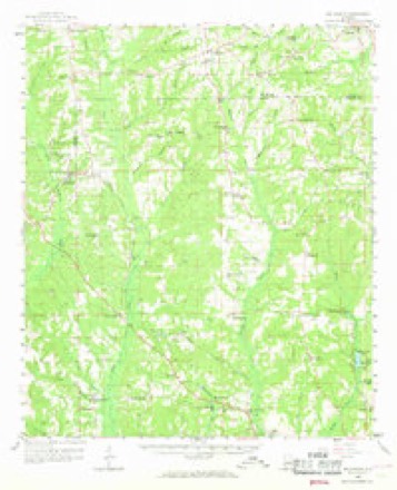
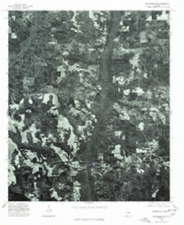
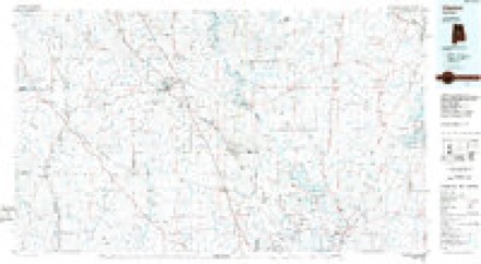
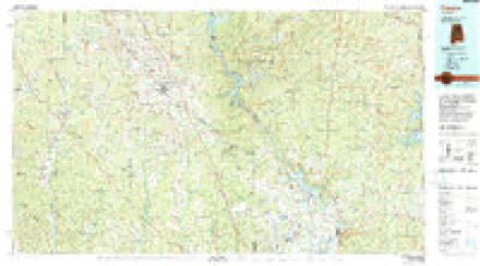
18 topographic sheets cover this place, the earliest surveyed in 1891 and the latest in 1987. It stands in the Autaugaville census division. It lies in ZIP code area 36067. It stands on Mill Creek. The Survey maps it on the Vida quadrangle. It stands 276 feet above sea level.
Topographic sheets covering this place
9 surveys from 18 printed sheetsMatched by testing this settlement's coordinate against the published boundary of every sheet in the United States Geological Survey's historical collection. Each opens the scanned sheet at the Survey.
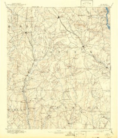
- 1891 USGS Clanton quadrangle1:125000, 5 printings
- 1953 USGS Montgomery quadrangle1:250000, 4 printings
- 1956 USGS Montgomery quadrangle1:250000
- 1957 USGS Montgomery quadrangle1:250000
- 1959 USGS Billingsley quadrangle1:62500, 3 printings
- 1975 USGS Billingsley SW quadrangle1:24000
- 1986 USGS Clanton quadrangle1:100000
- 1987 USGS Clanton quadrangle1:100000
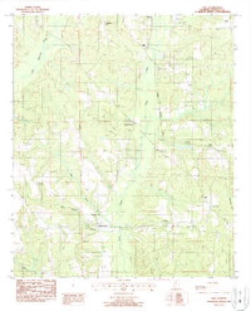
- 1987 USGS Vida quadrangle1:24000
Fires near this place
117 since 1994Regional context, not property-specific evidence. The federal wildfire occurrence database lists 117 fires within 5 miles of Independence between 1994 and 2019, burning about 692 acres in total. 3 started naturally. 11 were recorded as arson. Distance is straight-line from the map coordinates, so a fire counted here may appear on a neighbouring settlement's page as well.
| Reported cause | Fires |
|---|---|
| Debris and open burning | 59 |
| Missing data/not specified/undetermined | 22 |
| Recreation and ceremony | 12 |
| Arson/incendiarism | 11 |
| Equipment and vehicle use | 4 |
| Misuse of fire by a minor | 3 |
| Natural | 3 |
| Smoking | 3 |
The most recent of them, most recent first, with the day each was reported and the service that recorded it.
| Date | Cause | Size | Reported by | Name on the report |
|---|---|---|---|---|
| 28 September 2016 | Debris and open burning | 15 acres | Alabama Forestry Commission | 20160928-6 |
| 26 September 1999 | Misuse of fire by a minor | under an acre | Alabama Forestry Commission | not named |
| 20 September 1997 | Arson/incendiarism | under an acre | Alabama Forestry Commission | not named |
| 7 August 2019 | Debris and open burning | 1.0 acres | Alabama Forestry Commission | 20190807-1 |
| 6 August 2000 | Arson/incendiarism | 3.2 acres | Alabama Forestry Commission | not named |
| 31 August 2006 | Arson/incendiarism | 3.0 acres | Alabama Forestry Commission | not named |
| 29 August 2014 | Missing data/not specified/undetermined | 28 acres | Alabama Forestry Commission | ECR-20140829-002 |
| 16 August 2007 | Arson/incendiarism | 1.0 acres | Alabama Forestry Commission | not named |
Settlements close enough to share some of these fires:
Storms near this place
10 since 2005Regional context, not property-specific evidence. The National Weather Service names Independence in 10 storm reports between 2005 and 2023: 4 thunderstorm wind, 4 tornado, 2 hail. The reports record 7 deaths and 18 injuries. Each account below is quoted exactly as the forecast office filed it, from the NOAA Storm Events Database, and each date opens the federal record of that event.
| When | Event | Place named | Harm | What the report says |
|---|---|---|---|---|
| January 2023 | Tornado (EF3) | Independence | 7 killed, 16 hurt | National Weather Service meteorologists surveyed damage in northern Autauga County and determined that it was consistent with an EF3 tornado, with maximum winds near 150 mph. This long-track tornado began west of Highway 82, where timber damage occurred to farms near the community of Independence. The tornado crossed Highway 82 and strengthened as a manufactured home was rolled along Autauga County Road 40. Over the next two miles, the tornado rapidly strengthened as it approached the Old Kingston community, where EF3 damage began along County Road 43. At this location, at least three manufactured homes were obliterated with their frames thrown up to 100 yards. A pickup truck was sent airborne and landed 120 yards to the northeast, where a shallow crater was formed by its impact. The tornado became deadly as it impacted several homes along Sandy Ridge Road. The frame of a manufactured home at the western end of the road was thrown 250 yards to the north-northeast and came to rest in a field. Just downstream, several manufactured homes in a cluster were shredded and thrown considerable distances. Trees were snapped off relatively close to the ground and partially debarked. In total, five fatalities occurred along Sandy Ridge Road at three separate residences. Similar damage continued to the northeast along County Road 140, where two fatalities occurred in two separate residences at the eastern end of the road. At least five manufactured homes were blown away with their frames thrown considerable distances. Several vehicles were picked up and thrown, and one pickup truck had its cab separated from the bed. From this area to County Road 42, the tornado caused massive tree damage and what appeared to be stands of debarked trees along Autauga Creek. In the three mile stretch of most severe damage from County Road 43 to County Road 42, wind speeds reached at least 150 mph. The tornado tracked across County Road 57 at a slightly weaker state, where numerous trees were snapped and uprooted with several homes sustaining significant roof damage with one site-built home also sustaining partial wall failure. The tornado crossed Interstate 65 where numerous trees were uprooted. In the Pine Level community, several homes sustained roof damage and a manufactured home was rolled off its foundation and onto County Road 68. Many trees were uprooted and snapped as the tornado crossed through the Pine Flat community. Additional homes sustained roof damage and other damage from fallen trees, and a manufactured home was rolled and destroyed. Residential structure damage intensified as the tornado neared the Autauga/Elmore county line where several site-built homes sustained a majority or entire roof removal along County Road 68 near Poplar Springs Road. The tornado crossed into Elmore County just north of Highway 68. |
| January 2019 | Tornado (EF1) | Independence | 2 hurt | National Weather Service meteorologists surveyed damage in Autauga County and determined that it was consistent with an EF1 tornado, with maximum sustained winds near 90 mph.||The tornado touched down at Shiloh Circle, just west of County Road 45. The tornado caused minor roof damage to one home and also produced minor tree damage. The tornado continued due east to County Road 19, where one home suffered roof damage and numerous trees were snapped and uprooted. At this point, the tornado turned toward the northeast and traveled through a forested and swampy area. As it reached Seaside Road, the tornado destroyed a small business garage, damaged a few outbuildings, and produced tree damage. The tornado turned toward the east traveling through a large wooded area and uprooted numerous trees. At County Road 46, two homes suffered minor roof and siding damage along with more tree damage. The tornado continued producing tree damage as it crossed Highway 82, County Road 69, and County Road 21. Between County Road 21 and Goodson Howser Road, a couple of homes received minor roof damage, a few outbuildings were damaged, and trees were uprooted. One unsecured mobile home was rolled over and destroyed. Two occupants of the mobile home suffered minor injuries. The tornado lifted before reaching Goodson Howser Road. |
| April 2011 | Tornado (EF1) | Independence | $440,000 | A tornado touched down approximately 2 miles southeast of Independence along County Road 13. The tornado moved northeast where it snapped or uprooted several trees. As the tornado moved into the Old Kingston community, it strengthened to and EF-1 rating, with maximum winds of 90 mph, and removed the steeple from a church. A mobile home also sustained significant damage. The tornado lifted 2 miles north of Old Kingston near County Roads 161 and 150. |
| June 2009 | Thunderstorm Wind | Independence | $12,000 | A few trees were blown down near the Independence community. One fallen tree blocked the road, and another tree fell onto a mobile home. |
| June 2009 | Thunderstorm Wind | Independence | $5,000 | A car became trapped between two trees that were blown down onto CR-40 and CR-19, near the Independence community. Wind were estimated around 50 mph. |
| February 2007 | Thunderstorm Wind | Independence | $3,000 | Several trees were blown down at the intersection of CR 45 and CR 33, northwest of Autaugaville. |
| March 2019 | Thunderstorm Wind | Independence | - | Several trees uprooted along County Road 19 north of the city of Autaugaville. |
| February 2018 | Tornado (EF0) | Independence | - | The National Weather Service surveyed damage in central Autauga County and determined the damage was consistent with an EF0 tornado, with maximum sustained winds near 70 mph. The tornado touched down just to the west of County Road 79 in rural Autauga County and moved eastward towards County Road 19. Numerous trees were snapped and uprooted along the path. The damage path widened just to the west of County Road 19. A single family home sustained minor siding damage and several trees were snapped an uprooted around the home. Splattering of debris was noted on two sides of the home. The tornado dissipated near County Road 19. |
| May 2005 | Hail | Independence | - | Penny size hail was observed along CR 79 north of the Independence community. |
| February 2012 | Hail | Independence | - | no account filed |
Nearest settlements
The eight closest, with where each one stands in the county. Distances are straight-line, computed from the Geographic Names Information System coordinates.
| Map | Place | Distance | Sheets |
|---|---|---|---|
| Evergreen | 3.6 miles | 17 | |
| Vida Junction | 3.7 miles | 18 | |
| Winslow | 3.7 miles | 17 | |
| Joffre | 4.3 miles | 18 | |
| Spur (historical) | 4.3 miles | 18 | |
| White Water | 5.4 miles | 12 | |
| Hillside (historical) | 5.5 miles | 18 | |
| Gibbons (historical) | 5.6 miles | 18 |
Elsewhere
Matched on this settlement's Geographic Names Information System number rather than its name, so it cannot be a different place of the same name in another state.
| Wikidata item Q3150007 | The structured record the population and elevation above come from. Public domain (CC0). |
Provenance
This settlement is recorded in the Geographic Names Information System as feature 120623. The sheet list is computed by point-in-boundary test against the United States Geological Survey's historical topographic inventory. Both are works of the United States government and carry no copyright under 17 U.S.C. 105.
Wildfire. Short, Karen C. 2022. Spatial wildfire occurrence data for the United States, 1992-2020 [FPA_FOD_20221014]. 6th Edition. Fort Collins, CO: Forest Service Research Data Archive. https://doi.org/10.2737/RDS-2013-0009.6 Collected with United States Government funding and usable without additional permissions or fees.
Storms. NOAA National Centers for Environmental Information, Storm Events Database https://www.ncei.noaa.gov/stormevents/ A work of the United States government, no copyright under 17 U.S.C. 105. Narratives are quoted verbatim from the National Weather Service report and are not edited or summarised.