 Block
From the record
5 National Register listings published here.
Sources: the National Register database, National Park Service
62 topographic sheets and 3 fire insurance atlases across 1 place.
5 National Register listings published here.
Sources: the National Register database, National Park Service
Taken for the Office of War Information and the Farm Security Administration, who photographed the country between 1935 and 1944. Works of United States government photographers, with no known restriction on use. Each opens its catalogue record.
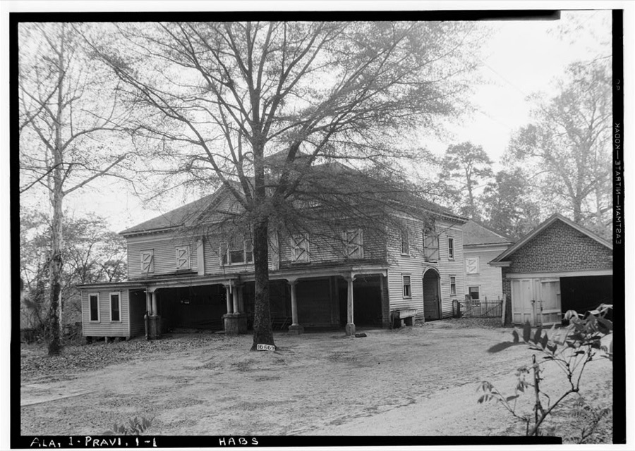
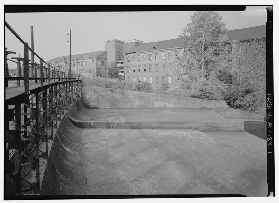
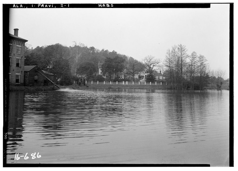
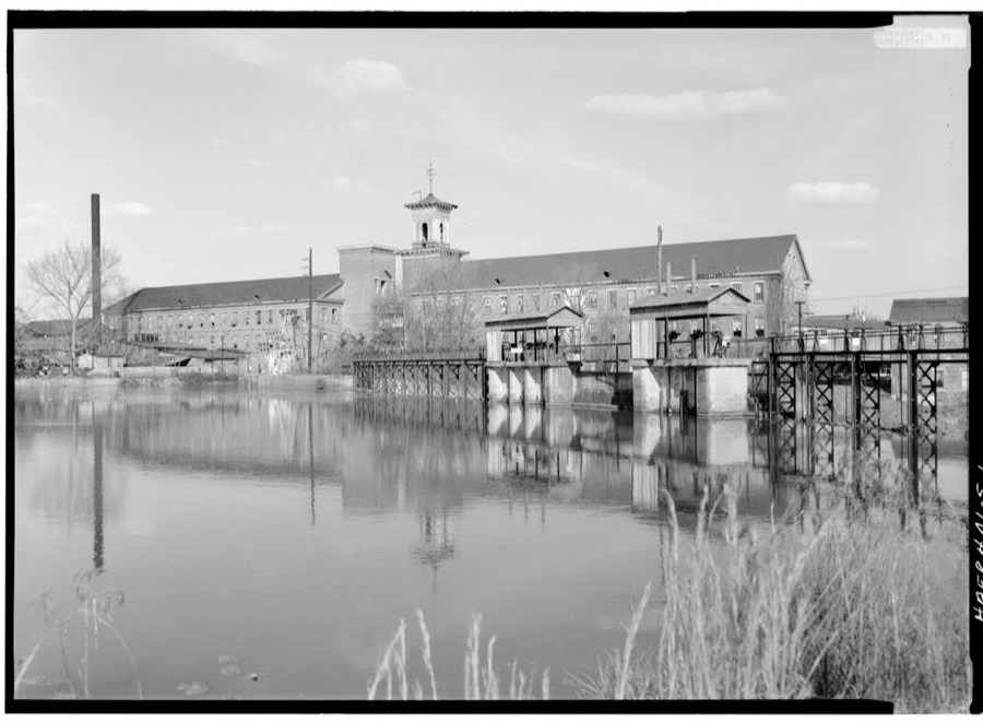
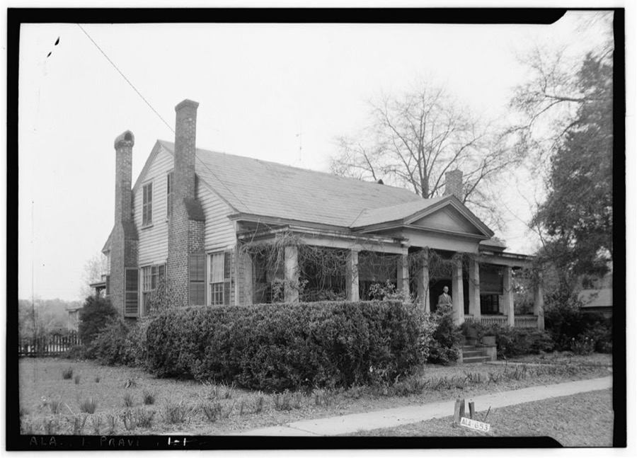
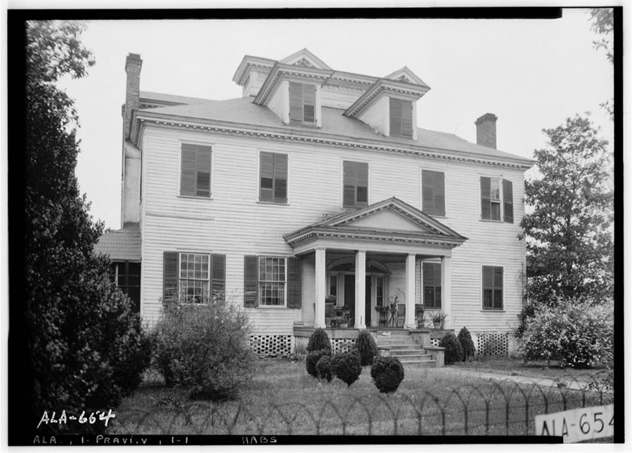
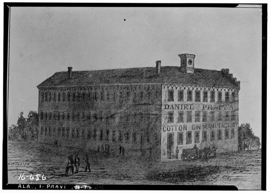
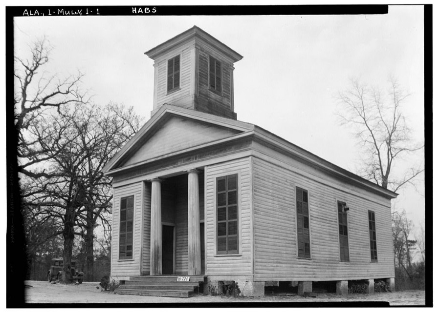
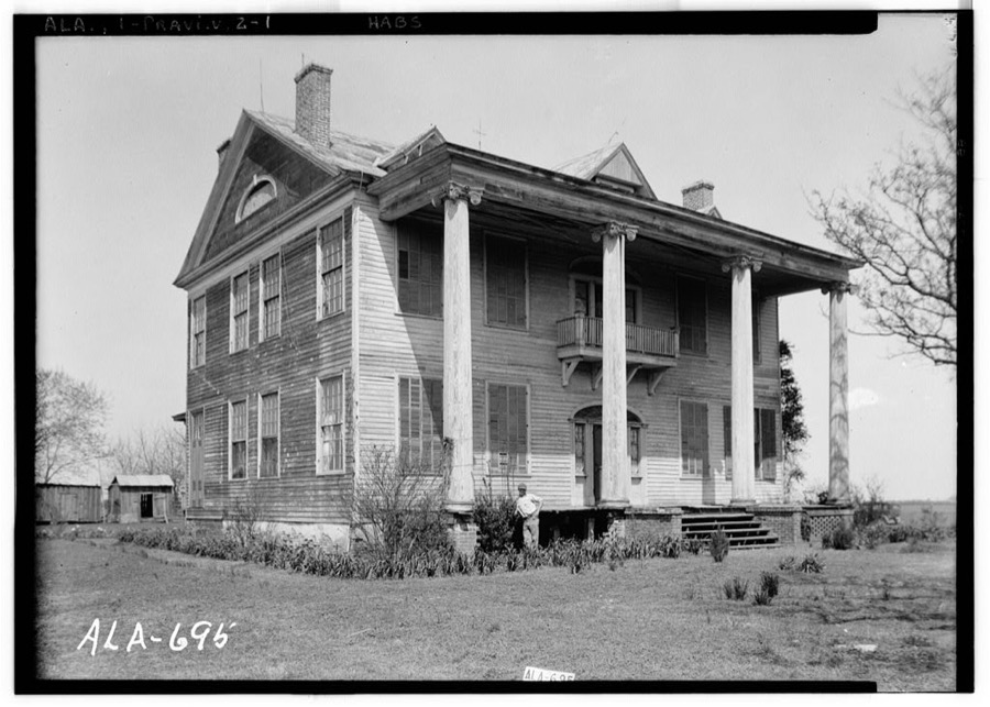
Every property in this county listed on the National Register of Historic Places, with the year it was listed and the federal nomination document.
| Photograph | Property | Type | Listed | Reference |
|---|---|---|---|---|
 | Bell House | building | 1999 | 99000150 |
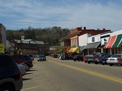 | Daniel Pratt Historic District | district | 1984 | 84000596 |
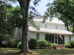 | Lassiter House | building | 1997 | 97000651 |
 | Montgomery-Janes-Whittaker House | building | 1974 | 74000396 |
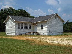 | Mount Sinai School | building | 2001 | 01001296 |
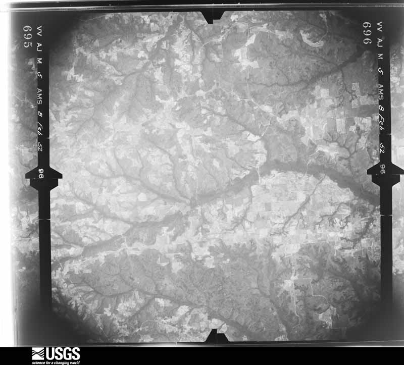
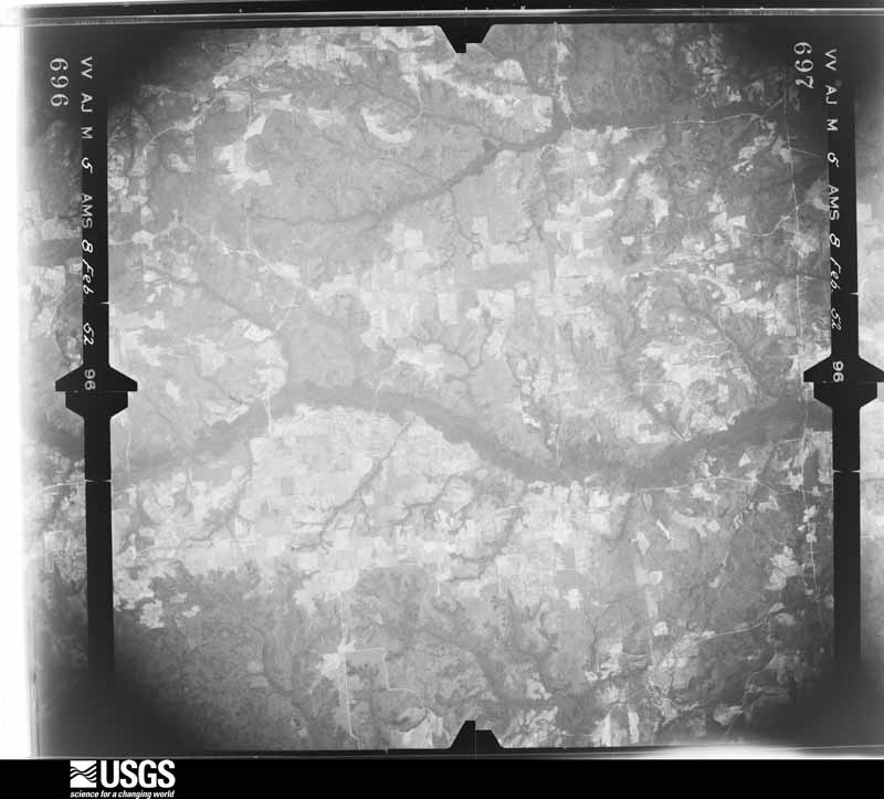
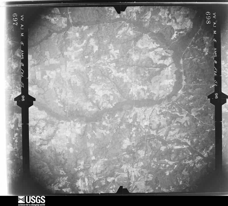
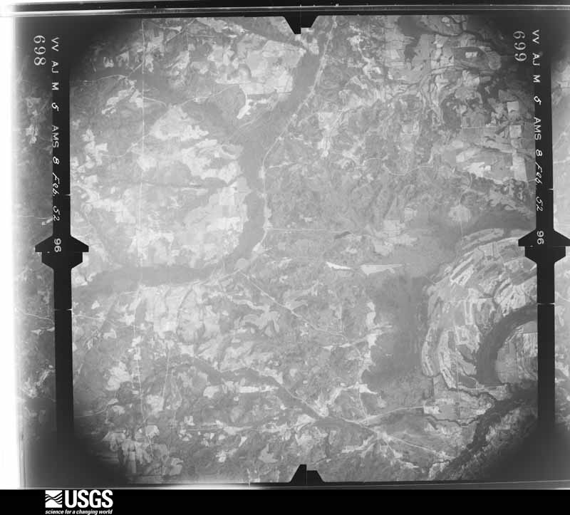
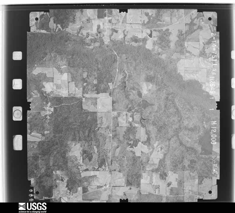
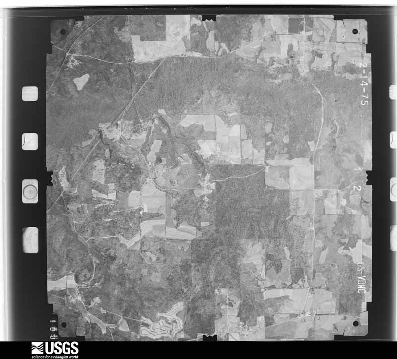
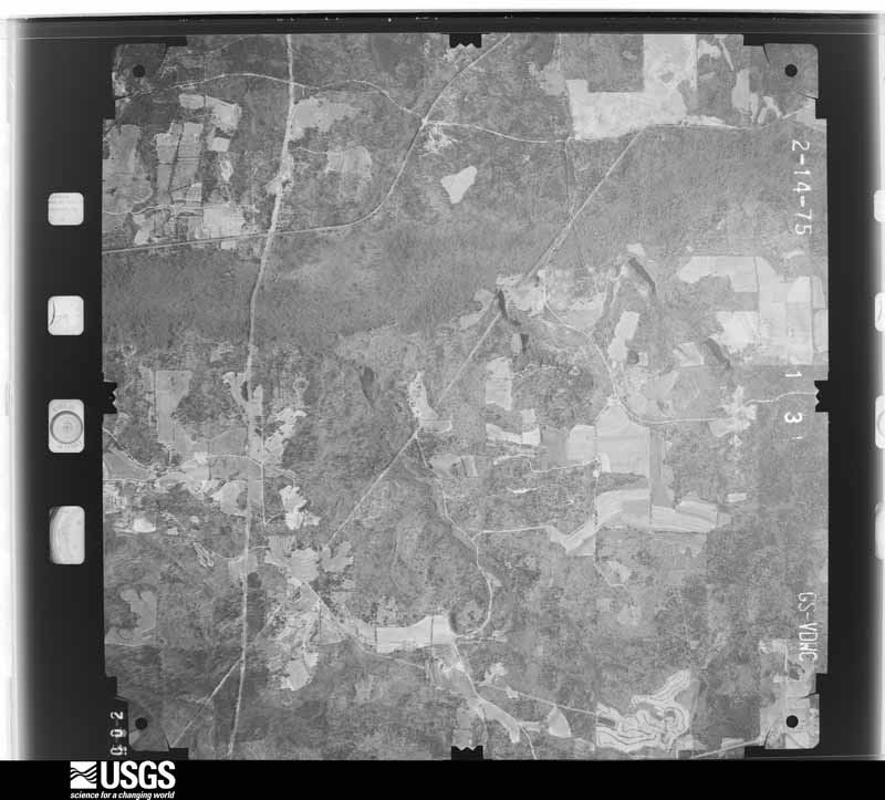
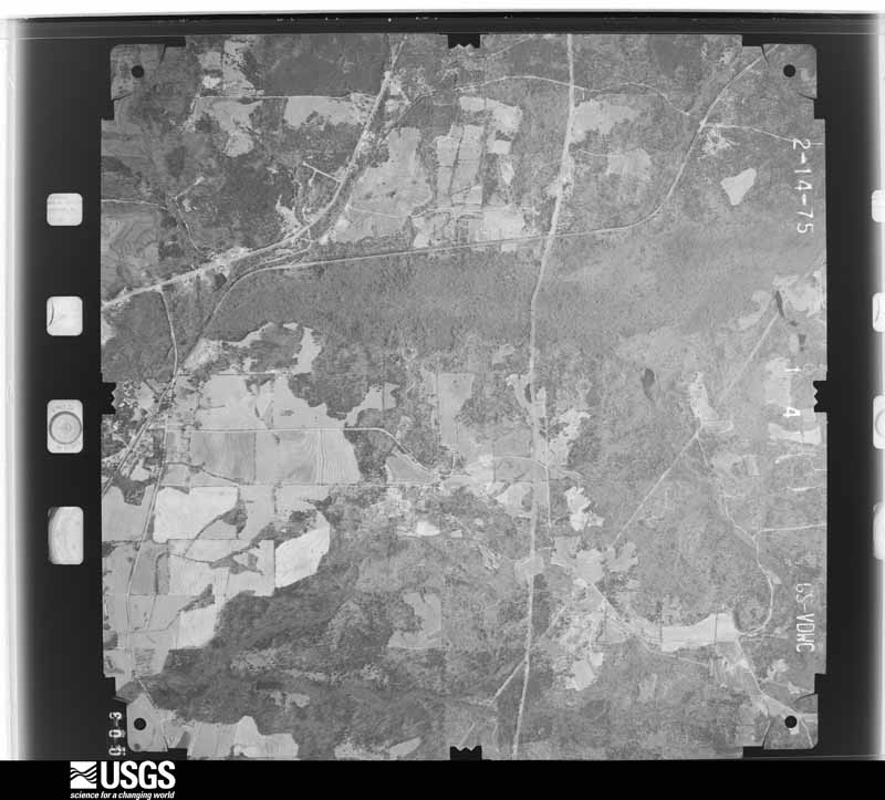
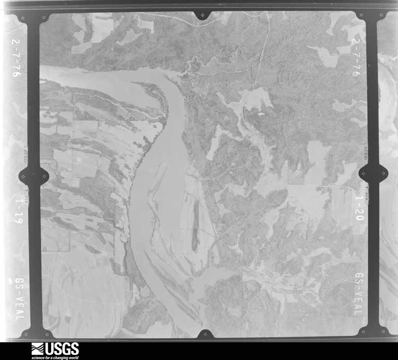
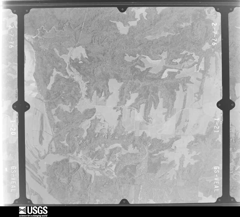
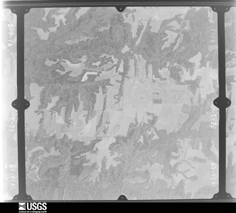
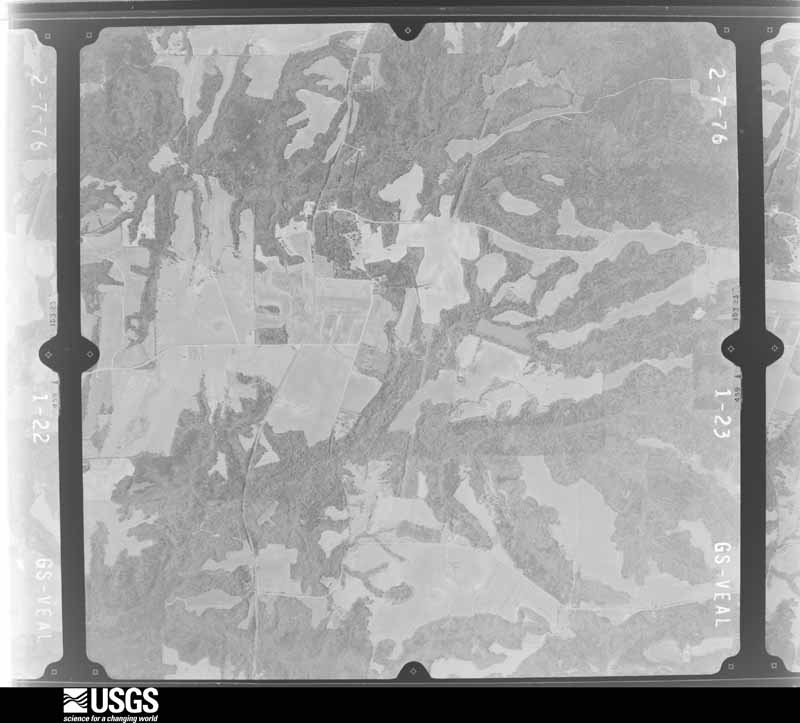
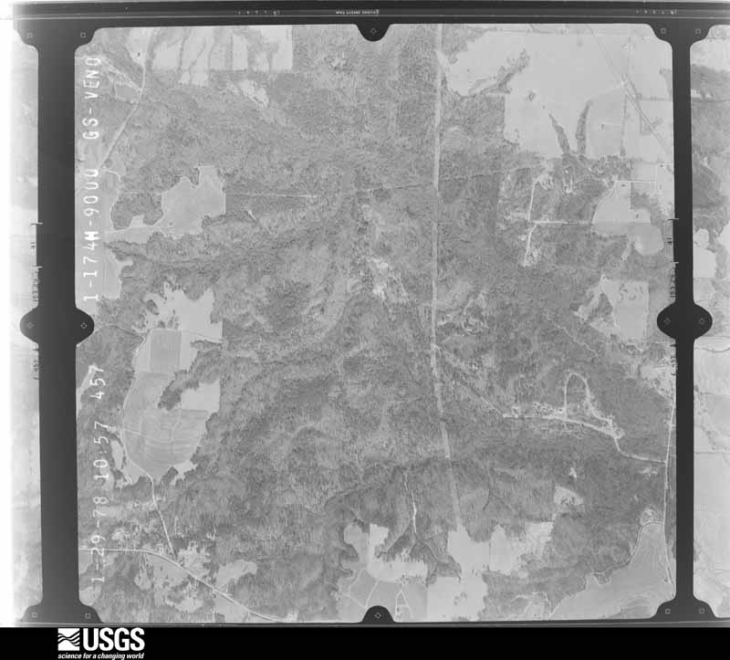
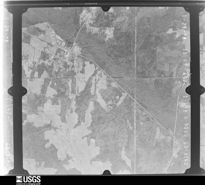
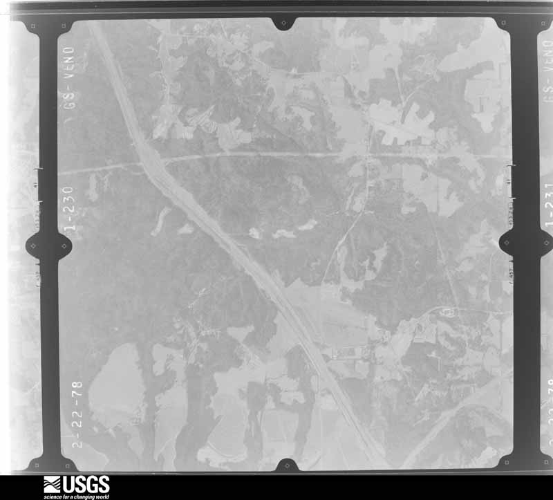
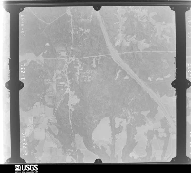
Flown by the U.S. Geological Survey between 1937 and 1989, the Aerial Photo Single Frames collection is the definitive mid-century view of the land: fields, roads and rivers as the camera saw them. The Survey holds 777 frames inside the rectangle that bounds this county; the 24 frames below were taken over the county itself, chosen across the decades of flights (at most four a year from that rectangle), so one flight cannot crowd out the rest. The full set is free to browse and download at EarthExplorer under the dataset Aerial Photo Single Frames.




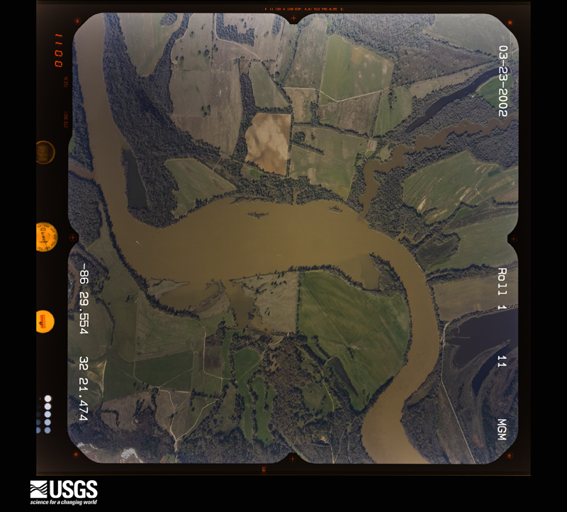
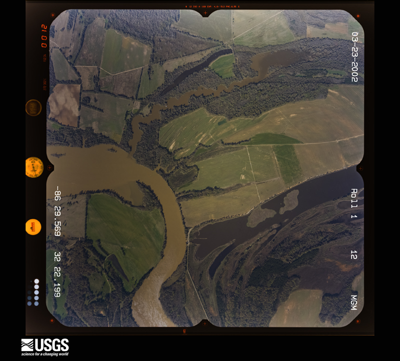
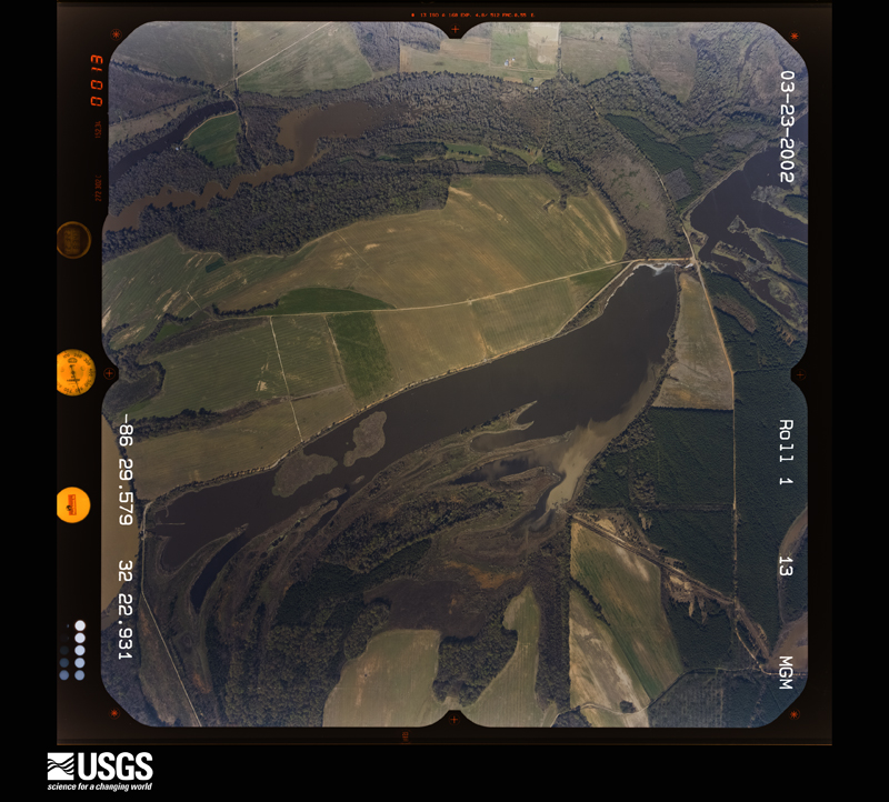
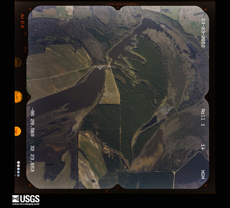
The thermometers that kept this county's weather, and the gages that measured the flow of its streams, as the federal records hold them. The extremes below are measured values from those records, not estimates.
Who lived here in 1950, one enumeration district at a time, as the Census Bureau described each district. Each row opens its official National Archives result, with Population Schedules and ED Maps available there.
Every wildfire the federal occurrence database records inside this county: 1,293 of them, burning about 8,269 acres. 18 started naturally and 171 were recorded as arson. Each settlement page carries the fires within five miles of it.
| Reported cause | Fires |
|---|---|
| Debris and open burning | 575 |
| Missing data/not specified/undetermined | 292 |
| Arson/incendiarism | 171 |
| Equipment and vehicle use | 96 |
| Recreation and ceremony | 78 |
| Misuse of fire by a minor | 25 |
| Smoking | 25 |
| Natural | 18 |
| Railroad operations and maintenance | 10 |
| Power generation/transmission/distribution | 2 |
| Fireworks | 1 |
The five largest, by the area the report gives. Two of them were set deliberately.
| Date | Cause | Size | Reported by | Name on the report |
|---|---|---|---|---|
| 2 December 2013 | Missing data/not specified/undetermined | 240 acres | Alabama Forestry Commission | ECR-20131202-001 |
| 15 July 2000 | Debris and open burning | 220 acres | Alabama Forestry Commission | not named |
| 26 March 2011 | Missing data/not specified/undetermined | 175 acres | Alabama Forestry Commission | RIDGE WOOD ROAD, AL |
| 20 July 1995 | Debris and open burning | 160 acres | Alabama Forestry Commission | not named |
| 10 April 2004 | Arson/incendiarism | 134 acres | Alabama Forestry Commission | AUTAUGA |
| 18 July 1995 | Debris and open burning | 120 acres | Alabama Forestry Commission | not named |
| 10 August 2006 | Natural | 96 acres | Alabama Forestry Commission | not named |
| 3 July 2000 | Arson/incendiarism | 96 acres | Alabama Forestry Commission | not named |
Every settlement page carries the fires within five miles of it - see the settlement index below.
The NOAA Storm Events Database holds 372 reports for this county, causing 10 deaths, 92 injuries and about $24,466,630 in recorded property damage. Each settlement page carries the reports that name it.
| Kind of event | Reports |
|---|---|
| Thunderstorm Wind | 201 |
| Hail | 89 |
| Tornado | 44 |
| Flash Flood | 25 |
| Lightning | 6 |
| Funnel Cloud | 3 |
| Flood | 3 |
| Heavy Rain | 1 |
The most serious of them, by death, then injury, then recorded damage. The accounts are quoted exactly as the forecast office filed them.
| When | Event | Place named | Harm | What the report says |
|---|---|---|---|---|
| January 2023 | Tornado (EF3) | Independence | 7 killed, 16 hurt | National Weather Service meteorologists surveyed damage in northern Autauga County and determined that it was consistent with an EF3 tornado, with maximum winds near 150 mph. This long-track tornado began west of Highway 82, where timber damage occurred to farms near the community of Independence. The tornado crossed Highway 82 and strengthened as a manufactured home was rolled along Autauga County Road 40. Over the next two miles, the tornado rapidly strengthened as it approached the Old Kingston community, where EF3 damage began along County Road 43. At this location, at least three manufactured homes were obliterated with their frames thrown up to 100 yards. A pickup truck was sent airborne and landed 120 yards to the northeast, where a shallow crater was formed by its impact. The tornado became deadly as it impacted several homes along Sandy Ridge Road. The frame of a manufactured home at the western end of the road was thrown 250 yards to the north-northeast and came to rest in a field. Just downstream, several manufactured homes in a cluster were shredded and thrown considerable distances. Trees were snapped off relatively close to the ground and partially debarked. In total, five fatalities occurred along Sandy Ridge Road at three separate residences. Similar damage continued to the northeast along County Road 140, where two fatalities occurred in two separate residences at the eastern end of the road. At least five manufactured homes were blown away with their frames thrown considerable distances. Several vehicles were picked up and thrown, and one pickup truck had its cab separated from the bed. From this area to County Road 42, the tornado caused massive tree damage and what appeared to be stands of debarked trees along Autauga Creek. In the three mile stretch of most severe damage from County Road 43 to County Road 42, wind speeds reached at least 150 mph. The tornado tracked across County Road 57 at a slightly weaker state, where numerous trees were snapped and uprooted with several homes sustaining significant roof damage with one site-built home also sustaining partial wall failure. The tornado crossed Interstate 65 where numerous trees were uprooted. In the Pine Level community, several homes sustained roof damage and a manufactured home was rolled off its foundation and onto County Road 68. Many trees were uprooted and snapped as the tornado crossed through the Pine Flat community. Additional homes sustained roof damage and other damage from fallen trees, and a manufactured home was rolled and destroyed. Residential structure damage intensified as the tornado neared the Autauga/Elmore county line where several site-built homes sustained a majority or entire roof removal along County Road 68 near Poplar Springs Road. The tornado crossed into Elmore County just north of Highway 68. |
| April 2011 | Tornado (EF3) | Poseys Xrds | 3 killed, 4 hurt, $1,240,000 | A tornado touched down near the intersection of County Roads 40 and 60, just east of the Old Kingston Community in Autauga County. The tornado moved east-northeast and passed north of Posey's Crossroads and entered Boone's Chapel. Hundreds of trees were snapped or uprooted along the path. Numerous homes and business were significantly damaged or destroyed. One manufactured home was destroyed, causing 3 fatalities and 4 injuries. The tornado crossed Interstate 65 and lifted along County Road 85, north of the Stoney Point Community. |
| February 2008 | Tornado (EF3) | Prattville Arpt | 50 hurt, $10,000,000 | The tornado touched down near the waste water treatment facility south southwest of the city of Prattville. It then tracked northeastward and crossed US Highway 82, US Highway 31, and Cobbs Ford Road. The southern and eastern parts of Prattville sustained significant damage. The highest winds likely occurred along Cobbs Ford Road/East Main Street near McQueen Smith Road and in the Silver Hills Subdivision. An estimated 200 residential homes and 40 businesses were damaged or destroyed. Hundreds of trees were either snapped off or were uprooted along the path. In addition, 50 injuries were reported, but there were no fatalities. |
| January 1982 | Tornado (F2) | not stated | 6 hurt, $250,000 | no account filed |
| March 1976 | Tornado (F3) | not stated | 4 hurt, $2,500,000 | no account filed |
| April 2003 | Thunderstorm Wind | Prattville | 3 hurt, $1,000,000 | Supercell 3 also produced an area of significant wind damage from just west of Prattville to Prattville along and just south of US 82. Numerous trees were down beginning in a wooded area west of CR 3 south of US 82. Reports indicated damage to structures (houses and mobile homes) along US 82 on the west side of Prattville to near the river on Maple Street. Three injuries were reported and these may have occurred as residents were crawling out of damaged structures. |
| March 1999 | Thunderstorm Wind | Autaugaville | 2 hurt, $150,000 | One of two thunderstorms that moved diagonally across Autauga County caused trees to be knocked down from the southwest corner of the county to the northeast corner of the county. The most significant damage occurred at a small community called Fig Tree on the east side of CR 1 in western Autauga County. At least four mobile homes were totally destroyed and three other mobile homes sustained minor damage. One mobilehome was rolled over a van destroying the vehicle. One building suffered major damage while two other houses sustained minor damage. Two minor injuries were reported. |
| January 2019 | Tornado (EF1) | Independence | 2 hurt | National Weather Service meteorologists surveyed damage in Autauga County and determined that it was consistent with an EF1 tornado, with maximum sustained winds near 90 mph.||The tornado touched down at Shiloh Circle, just west of County Road 45. The tornado caused minor roof damage to one home and also produced minor tree damage. The tornado continued due east to County Road 19, where one home suffered roof damage and numerous trees were snapped and uprooted. At this point, the tornado turned toward the northeast and traveled through a forested and swampy area. As it reached Seaside Road, the tornado destroyed a small business garage, damaged a few outbuildings, and produced tree damage. The tornado turned toward the east traveling through a large wooded area and uprooted numerous trees. At County Road 46, two homes suffered minor roof and siding damage along with more tree damage. The tornado continued producing tree damage as it crossed Highway 82, County Road 69, and County Road 21. Between County Road 21 and Goodson Howser Road, a couple of homes received minor roof damage, a few outbuildings were damaged, and trees were uprooted. One unsecured mobile home was rolled over and destroyed. Two occupants of the mobile home suffered minor injuries. The tornado lifted before reaching Goodson Howser Road. |
| December 1983 | Thunderstorm Wind | not stated | 2 hurt | no account filed |
| November 2004 | Tornado (F2) | Autaugaville | 1 hurt, $900,000 | no account filed |
| September 2000 | Lightning | Prattville | 1 hurt | A woman was struck by lightning in the Wal-Mart parking lot. She sustained only slight injuries. |
| April 2000 | Lightning | Prattville | 1 hurt | no account filed |
| April 2003 | Hail | Jones | $2,500,000 | Supercell 3 continued on its east southeast motion and moved across a large part of Autauga County. A large swath of golf ball size hail occurred and affected locations including Jones, Autaugaville, Booth, Independence, and Prattville. The largest hail observed was softball size. Significant hail damage occurred. Numerous automobiles and homes were damaged by the hail. |
| September 2009 | Flash Flood | Pine Flat | $1,000,000 | More than 40 cars of a train derailed near the Mortar Creek crossing, due to a portion of the tracks being washed out from heavy rain. A portion of CR-64 neaby was also washed out. |
| May 2009 | Flash Flood | Fays | $530,000 | Numerous county roads and city streets became impassable and suffered extensive damage due to flooding caused by torrential rainfall. The city of Prattville was the hardest hit area, as the storm water drainage system was extensively damaged. At least 32 homes and 6 business also suffered damage due to the flooding. Several residents of a mobile home community had to be evacuated when flood waters threatened their homes. |
| April 2011 | Tornado (EF1) | Poseys Xrds | $458,000 | A tornado touched down just south of the Old Kingston Community along County Road 21. As the tornado moved to the northeast, numerous trees were snapped or uprooted. Several structures also suffered minor damage. Maximum winds were estimated to be 90 mph. The tornado lifted just east Marbury near County Road 20. |
| April 2011 | Tornado (EF1) | Independence | $440,000 | A tornado touched down approximately 2 miles southeast of Independence along County Road 13. The tornado moved northeast where it snapped or uprooted several trees. As the tornado moved into the Old Kingston community, it strengthened to and EF-1 rating, with maximum winds of 90 mph, and removed the steeple from a church. A mobile home also sustained significant damage. The tornado lifted 2 miles north of Old Kingston near County Roads 161 and 150. |
| April 2005 | Thunderstorm Wind | Billingsley | $350,000 | National Weather Service meteorologist surveyed the damage in Billingsley and determined the damage was caused by straight line winds. A strong line of thunderstorms moved across central Alabama during the afternoon hours. The isolated damage was mainly confined to the Billingsley School property near the intersection of CR 77 and Tom Turner Road. This location was about 1 mile east of Billingsley. A large section of the metal roofing on the school was peeled back. Ceiling insulation and small metal debris littered areas downwind. The exposed classrooms sustained additional damage from rain. Several windows were broken out or cracked by airborne debris. One air conditioner was thrown on its side and damaged. A few trees east of the school were snapped off. Several vehicles in the parking lot suffered dents and broken windows from flying debris. |
| April 2011 | Tornado (EF2) | Mulberry | $309,000 | A tornado initially touched down in Dallas County, near the intersection of Dallas County Roads 461 and 460. It moved northeast where it crossed the Alabama River and moved into Autauga County. As the tornado crossed Autauga County Road 1, it lifted. In Autauga County, hundreds of trees were snapped or uprooted. Several structures sustained damage as well. |
| April 1982 | Tornado (F1) | not stated | $250,000 | no account filed |
| March 1977 | Tornado (F2) | not stated | $250,000 | no account filed |
| April 1963 | Tornado (F2) | not stated | $250,000 | no account filed |
| September 2000 | Flash Flood | Countywide | $200,000 | no account filed |
| June 1999 | Flash Flood | Prattville | $150,000 | Rainfall up to six inches in a little more than one hour, caused 60 square blocks of streets and businesses to fill with three feet or more of water. At least one dozen homes also received flooding. Numerous roads were closed and many auto accidents were caused by the heavy rainfall. |
| March 1999 | Thunderstorm Wind | Prattville | $85,000 | A shopping center suffered serious damage when strong wind broke large display windows and seriously damaged the roof. A number of businesses were affected with some of the worst damage at a Hibbetts Sporting Store. Just east of the Premiere Place shopping center, a number of apartments suffered roof damage when the shingles were torn of a number of units. Also, just west of the shopping center, a residential area showed signs of shingle damage to several structures. |
| November 2002 | Thunderstorm Wind | Marbury | $75,000 | Based on the pattern of damage, and reports from witnesses, the damage near the Marbury community in northeastern Autauga County was assessed as being caused by straight line winds. The damage area begins near the intersection of County Roads 68 and 69, just west of Interstate 65, and continues in a fan-shaped pattern eastward about 1.5 miles across US Highway 31. The damage area was about 400 yards wide, at its widest point.A total of 5 homes, 2 travel trailers, 1 barn, and one vehicle sustained damage. Also, powerlines were down across the entire damage area. There were no injuries reported. Based on witness accounts and radar signatures, the damage occurred around 2 AM Monday morning. |
| December 2011 | Tornado (EF0) | New Prospect | $60,000 | A tornado initially touched down along County Road 57, just south of County Road 49. Here, a mobile home suffered significant roof damage and also damage to its decking material. The tornado continued to the northeast causing tree damage and then crossed Interstate 65 and Highway 31, where additional tree damage occurred. As it continued moving further northeast, it crossed County 68 and Highway 143 where several outdoor building suffered damage and trees were snapped or uprooted. The tornado crossed the Elmore County line where it eventually lifted along Tram Road. |
| April 2003 | Hail | Marbury | $60,000 | Golf ball size hail fell across extreme northeast Autauga County. |
| November 2010 | Tornado (EF1) | Prattville Arpt | $58,000 | The tornado touched down near the Selma Highway and CR-29, just south of the Autauga County Airport, where a few trees were snapped off. From there it traveled northeastward, causing its most significant damage as it crossed US-82 near Steward Street. Numerous trees were uprooted, several homes sustained minor roof damage and a few metal buildings were damaged. The tornado then crossed US-31 near Prattville Middle School, where an awning was damaged and tossed at least 50 yards. Roof coverings and awnings were also damaged on several homes and businesses along Sheila Blvd. The tornado finally lifted just west of the Elmore County line in the Premiere Place Shopping Center, where a portable, free standing security tower was damaged. |
| March 2011 | Thunderstorm Wind | Haynes | $55,000 | Straight line winds estimated at 100 mph caused damage to the Vida community. The area of damage was approximately 1.5 miles long and 3 miles wide. Hundreds of softwood trees were snapped or uprooted. Several hardwoods were uprooted. Three vehicles were destroyed when trees fell on them. A mobile home was rolled 40 ft, demolishing all walls, but leaving the floor intact. Several other homes sustained shingle damage and an open pavilion was destroyed. |
| April 2003 | Hail | Jones | $55,000 | Hail as large as golf balls were reported as the supercell followed the almost identical path as the supercell 20 minutes before. |
| March 2009 | Flash Flood | Forester | $50,000 | A large section of the southern portion of Autauga County, from Autaugaville eastward to near Prattville, experienced flash flooding due to several days of excessive rainfall. Rainfall of 5 to 7 inches over the course of 4 days caused several creeks and small tributaries to the Alabama River to come out of their banks. The hardest hit area was near Noland Creek, on CR-29 between Autaugaville and Prattville. Flood waters rose to knee-deep levels in several rooms of a church in that area. About 10,000 sandbags were placed around the church, and local police officers loaded the church's pews onto a flatbed truck to minimize the damage. |
| April 2003 | Flash Flood | Countywide | $50,000 | Several roads throughout the county were temporarily impassable because of water over the roadways. Several area creeks and streams flowed well out of their banks. One church on CR 29 sustained moderate damage from flooding. |
| November 2001 | Tornado (F1) | Pine Level | $40,000 | The tornado first touched down near Huckleberry Lane just north of SR 82 where a trailer home was destroyed. The tornado moved northeast and produced damage on Olmstead Drive just off CR 63, overturning a travel trailer, destroying a shed, and knocking over a flag pole. On CR 40, several homes and mobile homes were damaged. One trailer had its roof torn off and another was rolled over. The tornado next caused damage on CR 57 in Poseys Crossroads. One vacant trailer was destroyed and a second received major damage. Additional damage occurred on CR 62 and CR 59, where a shed was destroyed and a home had roof damage. The tornado dissipated just before reaching Interstate 65. Beg: 32 32.914/86 37.225 End: 32 38.652/86 29.882 |
| April 2011 | Tornado (EF0) | Pine Level | $39,800 | A tornado touched down 1.5 miles northeast of Boone's Chapel in the Hunting Area community. The tornado moved northeastward where it snapped or uprooted trees along its path. Maximum winds were estimated to be 75 mph. The tornado lifted near the intersection of County Road 68 E and County Road 139. |
| April 2011 | Tornado (EF1) | Mulberry | $39,800 | A tornado touched down near the Alabama River in Autauga County. The tornado then moved northeastward and crossed County Road 1. Hundreds of trees were snapped or uprooted along the path. The tornado lifted near County Road 9. |
| March 1999 | Thunderstorm Wind | Statesville | $35,000 | Several tin-roofed buildings associated with what appeared to be a cotton gin or cotton collection area suffered serious damage with a lot of tin ripped from roofs. A gas station/convenience store at Statesville lost the covering over the gas pumps and there were several trees down in the area. |
| June 1999 | Flash Flood | Prattville | $35,000 | One to two inches of rain occurred in less than one hour causing some flooding. Numerous streets in downtown Prattville were flooded and closed. One bridge was washed away in northeastern Autauga County. |
| April 1995 | Thunderstorm Wind | Prattville | $35,000 | Strong winds with a thunderstorm downed trees and damaged several buildings in Prattville. The swath of damage ran from about Autauga Creek near Prattville City Hall to the Prattville Primary School on Wetumpka Street. Other reports of damage came from the east side of Prattville near the K-Mart Shopping Center. Damage seemed to be confined to a four or five block radius according to Prattville police. Power was out to the downtown area of Prattville for several hours. Roofs of several downtown homes and businesses were reported damaged. |
| November 2005 | Tornado (F0) | Autaugaville | $34,000 | National Weather Service meteorologists surveyed the damage that affected the Whitewater Community and areas near Autaugaville. It has been determined that the damage was the result of a tornado. The tornado has been rated an F0 on the Fujita Damage Intensity Scale. The tornado first touched down approximately 3.2 miles west of Autaugaville near the intersection of County Road 45 and County Road 78. The tornado tracked in a northeastward direction and crossed State Highway 14, County Road 19, and County Road 165. The tornado lifted just east of the Whitewater Community, north of County Road 165. The tornado damage path was approximately 5.4 miles long and 150 yards wide at its widest point. The tornado was on the ground from approximately 641 PM CST to 651 PM CST. Along the damage path, numerous large trees were snapped off and uprooted. A garage attached to a mobile home was blown away. At another location, vinyl siding was blown off a house and a fence was blown down. One shed was totally destroyed. Some tin was peeled off a steel building.Begin: 32.4378/86.7092 End: 32.4700/86.6244 |
| April 2004 | Hail | Prattville | $30,000 | Two thunderstorms merged over Prattville. The merger strengthened the thunderstorms and produced hail up to golf ball size in and around Prattville. A few homes sustained roof damage and several automobiles also suffered hail damage. |
| June 1998 | Thunderstorm Wind | Prattville | $30,000 | Several trees were down and some cars were damaged along CR 57, in the Posey Crossroads community. |
| November 2004 | Tornado (F2) | Jones | $30,000 | no account filed |
| July 2010 | Thunderstorm Wind | Marbury | $25,000 | A rotten tree fell onto a home as the result of thunderstorm outflow. |
| March 1999 | Thunderstorm Wind | Prattville | $25,000 | Just to the east of State Road (SR) 14 on the southside of Prattville, numerous large trees were uprooted in a residential area. |
| January 1998 | Flash Flood | Countywide | $25,000 | no account filed |
| January 1975 | Tornado (F1) | not stated | $25,000 | no account filed |
| March 2011 | Lightning | Prattmont | $22,500 | A house on Pine Crest Street in Prattville was damaged after it was struck by lightning. |
| February 2011 | Tornado (EF0) | Pine Level | $22,000 | A tornado touched down 1.5 miles southwest of Pine Level in Autauga County and tracked southeastward for 4.28 miles before exiting Autauga County about 0.36 miles north of Kenner Creek, south southwest of Deatsville, at 1710CST. This tornado continued into Elmore County for another 4.5 miles, before dissipating at 1720CST. In Autuaga County, numerous trees were snapped or uprooted and several homes sustained minor shingle or soffit damage. One mobile home sustained significant roof damage. |
| March 2001 | Flash Flood | Countywide | $22,000 | A few roads were covered with water and a few homes received minor flood damage. Many area creeks and streams topped the banks causing minor flooding. Radar estimated rainfall of 7 to 9 inches over a 28 hour period. |
| March 2001 | Thunderstorm Wind | Prattville | $22,000 | A large tree limb fell onto a home causing damage. One trailer was destroyed on the north side of the city. |
| April 2005 | Hail | Marbury | $20,000 | Hail up to the size of softballs fell across extreme northeast Autauga County near Marbury. |
| June 1998 | Thunderstorm Wind | Prattville | $20,000 | A mobile home was destroyed when a tree fell on it. There were several power lines down and there was minor damage to the baseball field. |
| March 1996 | Hail | Prattville | $20,000 | no account filed |
| March 2011 | Lightning | Pine Level | $15,000 | A house on Hwy 31 N in Pine Level was damaged after it was struck by lightning. |
| March 2001 | Flash Flood | Countywide | $15,000 | Many roads across the county were flooded and temporarily impassable. |
| July 2000 | Thunderstorm Wind | Prattville | $15,000 | Several trees were also blown down in and around the city. Winds were estimated at 60 to 70 miles an hour. Office Depot on Cobbs Ford Road had a portion of the roof torn off in the high wind. No injuries were reported. |
| June 1998 | Thunderstorm Wind | White City | $15,000 | Emergency management reported numerous trees and power lines down in northern Autauga County in the vicinity of White City. |
| April 2004 | Hail | Jones | $15,000 | no account filed |
| January 1997 | Thunderstorm Wind | Prattville | $15,000 | no account filed |
The Survey's mineral resources record lists 3 workings inside this county. 2 still produce and 1 is closed or unrecorded. Each settlement page carries the workings within five miles of it.
| Commodity | Workings |
|---|---|
| Sand and Gravel, Construction | 3 |
The least common of them first, because a county's hundredth gravel pit says nothing its first ten did not.
| Where | Site | Commodity | Status | Recorded |
|---|---|---|---|---|
| Booth Pit | Sand and Gravel, Construction | Producer | ||
| Dixie Sand & Gravel Co. Pit | Sand and Gravel, Construction | Past Producer | ||
| Freemont Pit | Sand and Gravel, Construction | Producer |
Named settlements recorded in the Geographic Names Information System, each with the topographic sheets covering it. Villages, hamlets and abandoned places alike. Each is shown with the nearest named watercourse or landform and the survey quadrangle it falls on. The 1 place that was also surveyed for fire insurance comes first, with the number of atlases and photographs held for them.
Prattville census division · 36067 · Near Gin Shop Hill · Prattville quadrangle
18 sheets, 1927 to 1986
Fire insurance: 3 atlases
Prattville census division · 36067 · Deatsville quadrangle
17 sheets, 1901 to 1987
No longer a settlement
Prattville census division · 36067 · On Pine Creek · Prattville quadrangle
18 sheets, 1927 to 1986
No longer a settlement
Autaugaville census division · 36003 · On White Water Creek · Autaugaville quadrangle
12 sheets, 1953 to 1986
Billingsley census division · 36758 · On Long Branch · Pletcher quadrangle
16 sheets, 1891 to 1987
No longer a settlement
Billingsley census division · 36758 · On Long Branch · Pletcher quadrangle
16 sheets, 1891 to 1987
Billingsley census division · 36749 · On Parker Branch · Milton quadrangle
17 sheets, 1891 to 1987
Prattville census division · 36008 · On Mill Creek · Old Kingston quadrangle
18 sheets, 1891 to 1987
Marbury census division · 36051 · On Fox Creek · Old Kingston quadrangle
18 sheets, 1891 to 1987
Prattville census division · 36067 · Near Gin Shop Hill · Prattville quadrangle
18 sheets, 1927 to 1986
Autaugaville census division · 36067 · On Haney Branch · Forester quadrangle
13 sheets, 1953 to 1986
Prattville census division · 36067 · Old Kingston quadrangle
18 sheets, 1891 to 1987
No longer a settlement
Billingsley census division · 36067 · On Turnpike Branch · Billingsley quadrangle
17 sheets, 1891 to 1987
Billingsley census division · 36067 · Vida quadrangle
18 sheets, 1891 to 1987
No longer a settlement
Prattville census division · 36067 · Near Gin Shop Hill · Prattville quadrangle
18 sheets, 1927 to 1986
Autaugaville census division · 36067 · On Mill Creek · Vida quadrangle
18 sheets, 1891 to 1987
Autaugaville census division · 36703 · On Ivy Creek · Durant Bend quadrangle
12 sheets, 1953 to 1986
No longer a settlement
Prattville census division · 36067 · Prattville quadrangle
18 sheets, 1927 to 1986
Prattville census division · 36067 · On Breakfast Creek · Prattville quadrangle
18 sheets, 1927 to 1986
Billingsley census division · 36749 · On Motley Branch · Milton quadrangle
17 sheets, 1891 to 1987
Marbury census division · 36067 · On Fox Creek · Old Kingston quadrangle
18 sheets, 1891 to 1987
Autaugaville census division · 36067 · On Swift Creek · Forester quadrangle
13 sheets, 1953 to 1986
No longer a settlement
Prattville census division · 36066 · On Dunn Branch · Prattville quadrangle
18 sheets, 1927 to 1986
No longer a settlement
Prattville census division · 36067 · On Breakfast Creek · Forester quadrangle
13 sheets, 1953 to 1986
Autaugaville census division · 36003 · By Jones Bluff · Durant Bend quadrangle
12 sheets, 1953 to 1986
Prattville census division · 36067 · Old Kingston quadrangle
18 sheets, 1891 to 1987
Prattville census division · 36066 · On Dunn Branch · Prattville quadrangle
18 sheets, 1927 to 1986
No longer a settlement
Billingsley census division · 36067 · Vida quadrangle
18 sheets, 1891 to 1987
No longer a settlement
Prattville census division · 36067 · Near Gin Shop Hill · Prattville quadrangle
18 sheets, 1927 to 1986
Billingsley census division · 36067 · On Turnpike Branch · Vida quadrangle
18 sheets, 1891 to 1987
Prattville census division · 36067 · On Autauga Creek · Prattville quadrangle
18 sheets, 1927 to 1986
No longer a settlement
Prattville census division · 36067 · On Autauga Creek · Prattville quadrangle
18 sheets, 1927 to 1986
Prattville census division · 36067 · On Breakfast Creek · Prattville quadrangle
18 sheets, 1927 to 1986
Marbury census division · 36022 · Marbury quadrangle
15 sheets, 1901 to 1987
No longer a settlement
Prattville census division · 36067 · Near Gin Shop Hill · Prattville quadrangle
18 sheets, 1927 to 1986
Prattville census division · 36066 · On Dunn Branch · Prattville quadrangle
18 sheets, 1927 to 1986
The vanished settlements of Autauga County: the places named above that are no longer on the map.
18 topographic sheets and 3 fire insurance atlases, 1911 to 1942
The complete index, with nothing left out. Each of these is a separate record with its own page: a federal survey report, or the case file that argued a property on to the National Register. Both are public domain and reproduced word for word.
The vanished settlements of Autauga County, the places these records name that are no longer on the map.