 Block
Irvington, Alabama
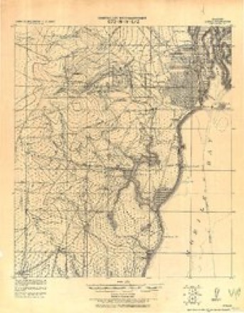
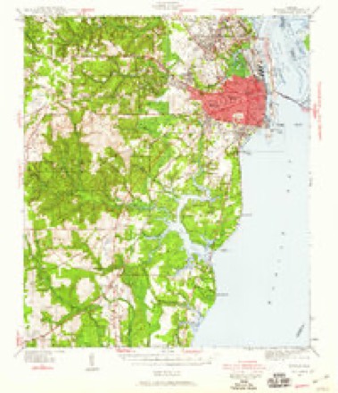
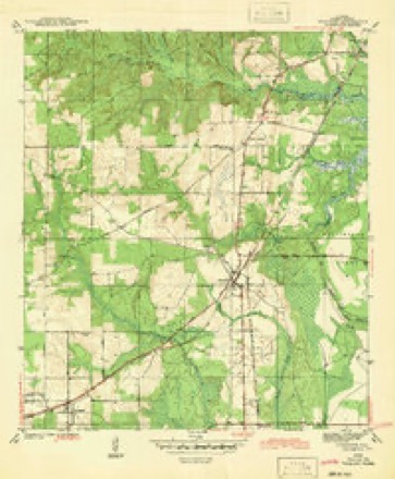
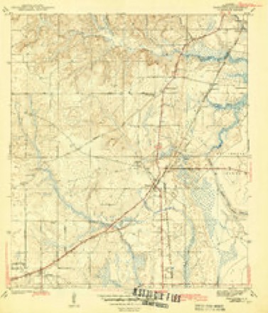
33 topographic sheets cover this place, the earliest surveyed in 1922 and the latest in 1994. It stands in the Grand Bay census division. It lies in ZIP code area 36544. The Survey maps it on the Theodore quadrangle. It stands 131 feet above sea level.
Topographic sheets covering this place
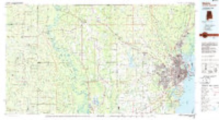
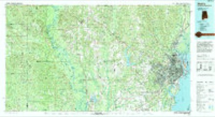
14 surveys from 33 printed sheetsMatched by testing this settlement's coordinate against the published boundary of every sheet in the United States Geological Survey's historical collection. Each opens the scanned sheet at the Survey.
- 1922 USGS Mobile quadrangle1:62500
- 1940 USGS Mobile quadrangle1:62500, 5 printings
- 1942 USGS Theodore quadrangle1:31680
- 1943 USGS Theodore quadrangle1:31680, 2 printings
- 1944 USGS Mobile quadrangle1:62500, 4 printings
- 1953 USGS Mobile quadrangle1:250000, 3 printings
- 1953 USGS Theodore quadrangle1:24000, 6 printings
- 1957 USGS Mobile quadrangle1:250000, 3 printings
- 1960 USGS Mobile quadrangle1:250000
- 1963 USGS Mobile quadrangle1:250000
- 1965 USGS Mobile quadrangle1:250000
- 1984 USGS Mobile quadrangle1:250000, 3 printings
- 1984 USGS Mobile quadrangle1:100000
- 1994 USGS Mobile quadrangle1:100000
Fires near this place
485 since 1994Regional context, not property-specific evidence. The federal wildfire occurrence database lists 485 fires within 5 miles of Irvington between 1994 and 2020, burning about 5,152 acres in total. 1 started naturally. 236 were recorded as arson. Distance is straight-line from the map coordinates, so a fire counted here may appear on a neighbouring settlement's page as well.
| Reported cause | Fires |
|---|---|
| Arson/incendiarism | 236 |
| Debris and open burning | 144 |
| Missing data/not specified/undetermined | 66 |
| Recreation and ceremony | 22 |
| Equipment and vehicle use | 12 |
| Misuse of fire by a minor | 2 |
| Railroad operations and maintenance | 2 |
| Natural | 1 |
The most recent of them, most recent first, with the day each was reported and the service that recorded it.
| Date | Cause | Size | Reported by | Name on the report |
|---|---|---|---|---|
| 9 September 2016 | Arson/incendiarism | 20 acres | Alabama Forestry Commission | 20160909-16 |
| 6 September 2005 | Arson/incendiarism | 3.0 acres | Alabama Forestry Commission | not named |
| 5 September 2019 | Missing data/not specified/undetermined | 10 acres | Alabama Forestry Commission | 20190905-1 |
| 30 September 1995 | Missing data/not specified/undetermined | under an acre | Alabama Forestry Commission | not named |
| 29 September 2010 | Missing data/not specified/undetermined | under an acre | Alabama Forestry Commission | not named |
| 25 September 2004 | Arson/incendiarism | 6.0 acres | Alabama Forestry Commission | not named |
| 25 September 2001 | Arson/incendiarism | 10 acres | Alabama Forestry Commission | not named |
| 24 September 2014 | Arson/incendiarism | under an acre | Alabama Forestry Commission | SWR-20140924-006 |
Settlements close enough to share some of these fires:
Mines and quarries near this place
9 within 5 milesRegional context, not property-specific evidence. The federal mineral resources record lists 9 workings within 5 miles of Irvington: 6 producers, 2 past producers, 1 plant. 7 still produce. What was taken out: Sand and Gravel, Construction, Silica, Clay, Sand and Gravel, Construction, Stone. Distance is straight-line from the map coordinates, so a quarry counted here may appear on a neighbouring settlement's page as well.
| Where | Site | Commodity | Status | Recorded |
|---|---|---|---|---|
| Chris Dobbins Cement Plant | Stone | Plant | ||
| Grand Bay Quarry | Silica | Producer | Unconsolidated Sediments | |
| Jackson Creek Pit | Clay, Sand and Gravel, Construction | Producer | ||
| Boe Pit | Sand and Gravel, Construction | Past Producer | ||
| Brunson Constrction Co. Pit | Sand and Gravel, Construction | Producer | ||
| H & J Sand Co. Pit | Sand and Gravel, Construction | Producer | ||
| Laidlaw No. 2 Pit | Sand and Gravel, Construction | Past Producer | ||
| Unnamed Quarry | Sand and Gravel, Construction | Producer | Quartz | |
| Unnamed Quarry | Sand and Gravel, Construction | Producer | Quartz |
Storms near this place
18 since 1996Regional context, not property-specific evidence. The National Weather Service names Irvington in 18 storm reports between 1996 and 2026: 5 thunderstorm wind, 5 flash flood, 4 hail, 4 tornado. The reports record 2 injuries. Each account below is quoted exactly as the forecast office filed it, from the NOAA Storm Events Database, and each date opens the federal record of that event.
| When | Event | Place named | Harm | What the report says |
|---|---|---|---|---|
| November 2000 | Tornado (F2) | Irvington | 2 hurt, $100,000 | A thunderstorm produced an F2 tornado that first touched down near the intersection of Highway 188 and Four Mile Road. A house suffered roof damage and a couple of barns were damaged. Trees were also blown down. The tornado moved northeast and trees were blown down along County Road 15. The tornado then touched down in a Mobile Home Park. One of the homes was completely destroyed with the occupants riding out the storm huddled together inside a bathtub. The two sisters were thrown out of the home as the tornado blew it from its foundation and turned it over several times. They were found in the woods behind their home with only minor injuries. Some of the other homes in the neighborhood suffered damage with skirting and parts of roofs torn off. The tornado continued northeast and did some minor damage near Howerin Road and near the intersection of Two Mile and Beverly Roads. The tornado then lifted back into the cloud. |
| July 2000 | Thunderstorm Wind | Irvington | $15,000 | Trees and power lines were blown down by high winds and a barn destroyed near the community. Also, a house trailer was damaged. |
| June 2008 | Hail | Irvington | $10,000 | Several trees were toppled by thunderstorm wind gusts estimated at 70 mph. |
| March 2001 | Thunderstorm Wind | Irvington | $5,000 | High winds from a thunderstorm blew several trees down. |
| March 2026 | Tornado (EF0) | Irvington | - | Available high resolution satellite imagery revealed a weak|EF0 tornado tracked from Irvington through the Laurendine area|causing sporadic minor tree damage all along its track. The track|of the tornado is further supported by the presence of a radar|tornado debris signature. |
| June 2023 | Flash Flood | Irvington | - | Portions of US 90, between AL 17 and McDonald Road were closed in both directions due to flash flooding. |
| June 2023 | Flash Flood | Irvington | - | Two to three feet of water was reported over US 90 In Irvington, AL. |
| June 2023 | Tornado (EF0) | Irvington | - | NWS Storm Survey found a weak EF-0 tornado associated with a QLCS|near Irvington. The tornado began just south of Old Pascagoula Rd|where a couple large hardwood limbs were snapped and very weak|convergence was noted through this area. A wider swath of|damaging wind likely extended west where small branches were|snapped laying due south. The tornado then crossed I10 where it|produced minor damage to the underskirt to two manufactured|homes. The tornado continued down Mcdonald road where a more|noticeable concentration of hardwood tree damage was noted near|Roush Rd. A few hardwoods were snapped but the trees appear to be|rotted and un-healthy leading to a lower bound estimate more in|line with large branches. Weak convergence was noted in the|damage with a more divergence pattern further west towards the|Walmart Facility where likely 60-75 mph straight line winds|occurred. The tornado was likely discontinuous or intermittent as|it traveled south/southeast towards Half Mile Rd where it|produced minor tree damage in the form of small to medium limbs|being snapped. A farm outbuilding had a section blow out near|Half Mile Rd and Matlock Rd. An opening on the one side of the|building suggests a lower bound estimate for this damage as wind|likely got inside the building unimpeded. The metal from this|building was deposited almost due east of the bar suggesting|convergence along or near Matlock Rd. The tornado likely lifted|near Cornelius Rd and One Mile Rd but not without uprooting a|hardwood tree and couple more large branches being snapped. Light|straight line wind damage was noted further south, but no|convergence was able to be determined. |
| May 2022 | Thunderstorm Wind | Irvington | - | High winds damaged the roof of an older building. Minor wind damage also reported along Home Avenue. |
| August 2022 | Flash Flood | Irvington | - | Water over the roadway on Padgett Switch Road just south of Halls Mill Road. |
| August 2022 | Flash Flood | Irvington | - | Multiple reports of water covered roadways with one vehicle submerged near Irvington. |
| October 2020 | Tornado (EF0) | Irvington | - | A very brief tornado touched down and crossed Beverly Road south of St. Elmo. The tornado result in a few trees uprooted and two small pine trees snapped. While very|narrow, there was clear convergence along the short path. There was no damage to structures noted, but the survey had limited access off of Beverly Road. |
| April 2020 | Thunderstorm Wind | Irvington | - | A line of severe thunderstorms downed several trees in the Irvington area. A gazebo was also destroyed. |
| June 2019 | Thunderstorm Wind | Irvington | - | High winds downed trees. |
| March 2016 | Flash Flood | Irvington | - | Water flowing over the road at One Mile road and Padgett Switch road. |
| June 2015 | Hail | Irvington | - | Nickel to quarter size hail was reported the the Mobile International Speedway. |
| May 2007 | Hail | Irvington | - | no account filed |
| April 1996 | Hail | Irvington | - | no account filed |
Nearest settlements
The eight closest, with where each one stands in the county. Distances are straight-line, computed from the Geographic Names Information System coordinates.
| Map | Place | Distance | Sheets |
|---|---|---|---|
| Saint Elmo | 1.1 miles | 23 | |
| Laurendine | 3.4 miles | 24 | |
| Fernland | 3.5 miles | 22 | |
| Dixon Corner | 3.8 miles | 24 | |
| Theodore | 4.2 miles | 33 | |
| Fowl River | 4.6 miles | 24 | |
| South Orchard | 5.3 miles | 24 | |
| Quail Run | 5.5 miles | 33 |
Elsewhere
Matched on this settlement's Geographic Names Information System number rather than its name, so it cannot be a different place of the same name in another state.
| Wikipedia article on Irvington | An encyclopaedic summary. Its text is share-alike, so it is linked here rather than copied. |
| Wikidata item Q6074887 | The structured record the population and elevation above come from. Public domain (CC0). |
Provenance
This settlement is recorded in the Geographic Names Information System as feature 120706. The sheet list is computed by point-in-boundary test against the United States Geological Survey's historical topographic inventory. Both are works of the United States government and carry no copyright under 17 U.S.C. 105.
Wildfire. Short, Karen C. 2022. Spatial wildfire occurrence data for the United States, 1992-2020 [FPA_FOD_20221014]. 6th Edition. Fort Collins, CO: Forest Service Research Data Archive. https://doi.org/10.2737/RDS-2013-0009.6 Collected with United States Government funding and usable without additional permissions or fees.
Mines and quarries. USGS Mineral Resources Data System (MRDS) https://mrdata.usgs.gov/mrds/ A work of the United States government, no copyright under 17 U.S.C. 105.
Storms. NOAA National Centers for Environmental Information, Storm Events Database https://www.ncei.noaa.gov/stormevents/ A work of the United States government, no copyright under 17 U.S.C. 105. Narratives are quoted verbatim from the National Weather Service report and are not edited or summarised.