 Block
Jacksonburg, Alabama
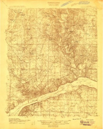
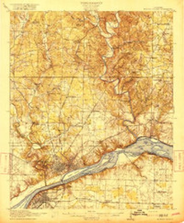
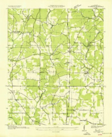
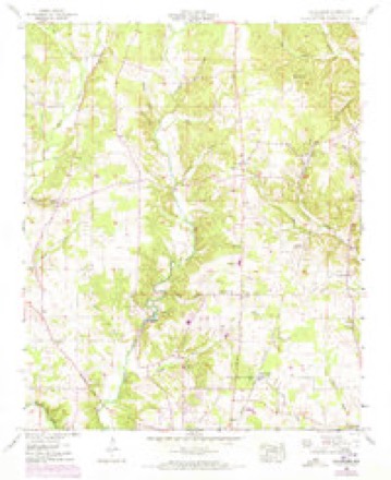
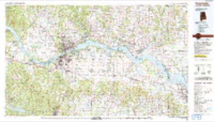
17 topographic sheets cover this place, the earliest surveyed in 1914 and the latest in 1986. It stands in the Florence census division. It lies in ZIP code area 35634. The Survey maps it on the Blackburn quadrangle.
Topographic sheets covering this place
9 surveys from 17 printed sheetsMatched by testing this settlement's coordinate against the published boundary of every sheet in the United States Geological Survey's historical collection. Each opens the scanned sheet at the Survey.
- 1914 USGS Muscle Shoals quadrangle1:48000
- 1916 USGS Muscle Shoals quadrangle1:62500, 2 printings
- 1936 USGS Blackburn quadrangle1:24000
- 1952 USGS Blackburn quadrangle1:24000, 3 printings
- 1956 USGS Gadsden quadrangle1:250000, 3 printings
- 1958 USGS Gadsden quadrangle1:250000
- 1960 USGS Gadsden quadrangle1:250000, 2 printings
- 1963 USGS Gadsden quadrangle1:250000
- 1986 USGS Tuscumbia quadrangle1:100000, 3 printings




Fires near this place
177 since 1994Regional context, not property-specific evidence. The federal wildfire occurrence database lists 177 fires within 5 miles of Jacksonburg between 1994 and 2020, burning about 600 acres in total. 1 started naturally. 63 were recorded as arson. Distance is straight-line from the map coordinates, so a fire counted here may appear on a neighbouring settlement's page as well.
| Reported cause | Fires |
|---|---|
| Debris and open burning | 76 |
| Arson/incendiarism | 63 |
| Missing data/not specified/undetermined | 11 |
| Equipment and vehicle use | 10 |
| Smoking | 8 |
| Misuse of fire by a minor | 5 |
| Recreation and ceremony | 3 |
| Natural | 1 |
The most recent of them, most recent first, with the day each was reported and the service that recorded it.
| Date | Cause | Size | Reported by | Name on the report |
|---|---|---|---|---|
| 8 September 1999 | Arson/incendiarism | 2.0 acres | Alabama Forestry Commission | not named |
| 5 September 1998 | Arson/incendiarism | 1.0 acres | Alabama Forestry Commission | not named |
| 29 September 2019 | Arson/incendiarism | under an acre | Alabama Forestry Commission | 20190929-11 |
| 29 September 2001 | Equipment and vehicle use | under an acre | Alabama Forestry Commission | not named |
| 25 September 1999 | Arson/incendiarism | under an acre | Alabama Forestry Commission | not named |
| 23 September 2003 | Arson/incendiarism | 1.0 acres | Alabama Forestry Commission | 8756 COUNTY RD 61, AL |
| 21 September 2000 | Natural | under an acre | Alabama Forestry Commission | not named |
| 17 September 1999 | Equipment and vehicle use | 1.0 acres | Alabama Forestry Commission | not named |
Settlements close enough to share some of these fires:
Storms near this place
60 of 67 shownRegional context, not property-specific evidence. The National Weather Service names Jacksonburg in 67 storm reports between 2007 and 2025: 53 thunderstorm wind, 6 flash flood, 6 hail, 1 flood. The reports record 1 death. Each account below is quoted exactly as the forecast office filed it, from the NOAA Storm Events Database, and each date opens the federal record of that event.
| When | Event | Place named | Harm | What the report says |
|---|---|---|---|---|
| August 2023 | Lightning | Jacksonburg | 1 killed | At approximately 13:09 LST, lightning fatally injured a 28 year old male in the parking lot of a business at 3155 Kendall Drive in Florence. |
| December 2021 | Thunderstorm Wind | Jacksonburg | $100,000 | Severe wind damage was reported to two buildings/businesses at 4230 and 4242 Bryson Blvd. The roof of the Global Fire Sprinklers office was blown off allowing much of the office to experience damage. Time estimated by radar. |
| April 2025 | Thunderstorm Wind | Jacksonburg | $10,000 | A tree was knocked down onto a house at 111 Isbell Lane. |
| April 2025 | Thunderstorm Wind | Jacksonburg | $10,000 | Power lines were knocked down sparking a brush fire at 5105 Highway 17. |
| April 2025 | Thunderstorm Wind | Jacksonburg | $10,000 | Trees were knocked down and power poles were broken with lines down at Highway 157 at Underwood Drive. |
| April 2025 | Thunderstorm Wind | Jacksonburg | $10,000 | A tree was knocked down onto a house at 111 Parker Drive. |
| April 2025 | Thunderstorm Wind | Jacksonburg | $5,000 | A tree was knocked down and a power pole broken at CR 7 at CR 6. |
| June 2013 | Thunderstorm Wind | Jacksonburg | $5,000 | A tree was downed by thunderstorm winds on Crockett Road, a mile north of the Underwood-Petersville area, just north of Florence, Alabama. |
| April 2025 | Thunderstorm Wind | Jacksonburg | $3,000 | A tree and power lines were knocked down at 1701 CR 323. |
| April 2025 | Thunderstorm Wind | Jacksonburg | $3,000 | A tree was knocked down onto a power line at CR 30 at CR 315. |
| April 2025 | Thunderstorm Wind | Jacksonburg | $3,000 | Trees were knocked down onto power lines at 8145 CR 47. |
| August 2025 | Thunderstorm Wind | Jacksonburg | $3,000 | A tree and power lines were knocked down blocking the road at 105 CR 310. Time estimated by radar. |
| August 2025 | Thunderstorm Wind | Jacksonburg | $3,000 | A tree and power lines were knocked down onto the roadway at the intersection of CR 7 and CR 639. Time estimated by radar. |
| July 2009 | Thunderstorm Wind | Jacksonburg | $3,000 | Tree blown down on Shadowbrook Drive. |
| April 2025 | Thunderstorm Wind | Jacksonburg | $2,000 | A tree was knocked down at 2115 CR 219. |
| April 2025 | Thunderstorm Wind | Jacksonburg | $2,000 | A tree was knocked down onto power lines at 173 Lake Street. |
| April 2025 | Thunderstorm Wind | Jacksonburg | $2,000 | A large tree was knocked down blocking the roadway on CR 112. |
| April 2025 | Thunderstorm Wind | Jacksonburg | $2,000 | A tree and power lines were knocked down onto the roadway at Royal and Mobile. |
| April 2025 | Thunderstorm Wind | Jacksonburg | $2,000 | A tree was knocked down at 3626 Chisholm. |
| April 2025 | Thunderstorm Wind | Jacksonburg | $2,000 | A tree was knocked down into the roadway blocking both lanes at 1015 CR 277. |
| April 2025 | Thunderstorm Wind | Jacksonburg | $2,000 | Power lines were knocked down at 132 CR 404. |
| April 2025 | Thunderstorm Wind | Jacksonburg | $2,000 | A tree was knocked down at CR 14 at CR 129. |
| April 2025 | Thunderstorm Wind | Jacksonburg | $2,000 | A tree was knocked down in front a residence at 2195 CR 219. |
| April 2025 | Thunderstorm Wind | Jacksonburg | $2,000 | A tree was knocked down at CR 19 at CR 14. |
| March 2023 | Thunderstorm Wind | Jacksonburg | $2,000 | Trees were knocked down onto Kendall Drive. |
| July 2023 | Thunderstorm Wind | Jacksonburg | $1,500 | A tree and power lines were knocked down at 4552 CR 70. Time estimated by radar. |
| June 2025 | Thunderstorm Wind | Jacksonburg | $1,000 | A tree was reported down partially blocking County Road 24. Time estimated by radar. |
| June 2025 | Thunderstorm Wind | Jacksonburg | $1,000 | A tree was knocked down onto the roadway at 405 Almond Street. Time estimated by radar. |
| June 2025 | Thunderstorm Wind | Jacksonburg | $1,000 | A tree was reported across the roadway on County Road 7 near Family Drive. Time was estimated by radar. |
| June 2025 | Thunderstorm Wind | Jacksonburg | $1,000 | A downed tree was reported at this location off of Cambridge road. Time was estimated by radar. |
| June 2025 | Thunderstorm Wind | Jacksonburg | $1,000 | A tree was reported down across County Road 7 near Whites Lake Bridge as well as a tree down blocking County Road 124. Time estimated by radar. |
| June 2025 | Thunderstorm Wind | Jacksonburg | $1,000 | A tree was reportd blocking one side of the road on Parker Drive. Time estimated by radar. |
| August 2025 | Thunderstorm Wind | Jacksonburg | $1,000 | A tree was knocked down blocking both lanes of the road at the intersection of CR 7 and CR 6 at Shadowbrook Drive. Time estimated by radar. |
| July 2023 | Thunderstorm Wind | Jacksonburg | $1,000 | A tree was knocked down across power lines at 9569 CR 71. Time estimated by radar. |
| August 2023 | Thunderstorm Wind | Jacksonburg | $1,000 | A tree was reported down at this location on Hike Drive. Time was estimated from radar. |
| April 2011 | Thunderstorm Wind | Jacksonburg | $1,000 | A tree was knocked down onto power lines at the intersection of County Roads 14 and 23. |
| August 2023 | Thunderstorm Wind | Jacksonburg | $500 | A tree was knocked down blocking the road near the CR 7 and CR 290 intersection. Time estimated by radar. |
| July 2023 | Thunderstorm Wind | Jacksonburg | $500 | A tree was knocked down on CR 7 north of White Lakes bridge. Time estimated by radar. |
| July 2023 | Thunderstorm Wind | Jacksonburg | $500 | A tree was knocked down over the road on CR 30 near Tarkett Road. Time estimated by radar. |
| July 2023 | Thunderstorm Wind | Jacksonburg | $500 | A tree was knocked down along CR 406. Time estimated by radar. |
| April 2018 | Thunderstorm Wind | Jacksonburg | $500 | One tree was knocked down onto power lines at 5929 Highway 17. |
| June 2011 | Thunderstorm Wind | Jacksonburg | $500 | A tree was knocked down on Helton Drive near Church Road. Time estimated by radar. |
| May 2021 | Thunderstorm Wind | Jacksonburg | $200 | A tree was knocked down in the roadway at 7601 Highway 17. |
| June 2019 | Thunderstorm Wind | Jacksonburg | $200 | A tree was knocked down at CR 24 and Leona Drive. |
| July 2019 | Thunderstorm Wind | Jacksonburg | $200 | A tree was knocked down on Whites Lake Bridge on CR 7. Time estimated from radar. |
| February 2018 | Thunderstorm Wind | Jacksonburg | $200 | A tree was knocked down along CR 7 north of Florence. |
| June 2018 | Thunderstorm Wind | Jacksonburg | $200 | A tree was knocked down onto the road at 2058 CR 7, about 1/2 mile north of CR 139. |
| May 2017 | Thunderstorm Wind | Jacksonburg | $200 | A tree was knocked down in the roadway near the landfill at 5896 Highway 157. |
| May 2025 | Hail | Jacksonburg | - | A social media report indicated 1.5 inch diameter hail on Helton Drive in Florence. |
| June 2022 | Flash Flood | Jacksonburg | - | Flash flooding reported at County Road 7 at County Road 639. Road covered in water. Depth unknown. This flooding is from Cypress Creek. |
| June 2022 | Flash Flood | Jacksonburg | - | Flooded roadway along County Road 7 near County Road 639. |
| June 2022 | Flash Flood | Jacksonburg | - | Flash flooding was reported along County Road 124 near Oakdale Drive, with the road starting to erode. Depth of water unknown. |
| November 2022 | Hail | Jacksonburg | - | Half dollar sized hail was reported in the city of Petersville. |
| May 2020 | Hail | Jacksonburg | - | Hail up to penny sized was reported. |
| February 2020 | Flash Flood | Jacksonburg | - | Stalled vehicle due to flash flooding at CR 288 at Highway 157 in Cloverdale. |
| February 2019 | Flood | Jacksonburg | - | Portions of CR 42 and CR 24 reported being washed out due to flooding. |
| August 2019 | Flash Flood | Jacksonburg | - | An Emergency Manager reported a foot of standing water on Highway 17. |
| August 2019 | Thunderstorm Wind | Jacksonburg | - | Trees and power lines were knocked down in St. Florian at CR 323 north of Kasmeier and at the intersection of CR 138 and CR 314. |
| June 2018 | Thunderstorm Wind | Jacksonburg | - | Trees and power lines were knocked down near the 4500 block of Highway 157. |
| June 2015 | Thunderstorm Wind | Jacksonburg | - | A few trees and power lines were downed by thunderstorm winds at Hermitage drive and Royal avenue near Florence, and along Lauderdale County Road 311, about four miles northeast of the Underwood-Petersville community. |
Nearest settlements
The eight closest, with where each one stands in the county. Distances are straight-line, computed from the Geographic Names Information System coordinates.
| Map | Place | Distance | Sheets |
|---|---|---|---|
| Twin Oaks | 0.7 miles | 17 | |
| Oak Hill | 1.1 miles | 17 | |
| Suncrest | 1.1 miles | 17 | |
| Terrace View | 1.1 miles | 17 | |
| Stoney Point (historical) | 1.6 miles | 17 | |
| Wilkes Park | 1.6 miles | 17 | |
| Cloverdale Heights | 2.1 miles | 19 | |
| Rose Park | 2.2 miles | 19 |
Provenance
This settlement is recorded in the Geographic Names Information System as feature 120787. The sheet list is computed by point-in-boundary test against the United States Geological Survey's historical topographic inventory. Both are works of the United States government and carry no copyright under 17 U.S.C. 105.
Wildfire. Short, Karen C. 2022. Spatial wildfire occurrence data for the United States, 1992-2020 [FPA_FOD_20221014]. 6th Edition. Fort Collins, CO: Forest Service Research Data Archive. https://doi.org/10.2737/RDS-2013-0009.6 Collected with United States Government funding and usable without additional permissions or fees.
Storms. NOAA National Centers for Environmental Information, Storm Events Database https://www.ncei.noaa.gov/stormevents/ A work of the United States government, no copyright under 17 U.S.C. 105. Narratives are quoted verbatim from the National Weather Service report and are not edited or summarised.