Block
From the record
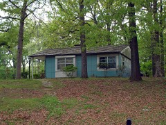
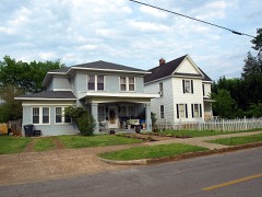
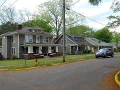
39 National Register listings published here.
Sources: the National Register database, National Park Service
106 topographic sheets and 11 fire insurance atlases across 2 places.
39 National Register listings published here.
Sources: the National Register database, National Park Service
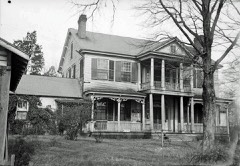
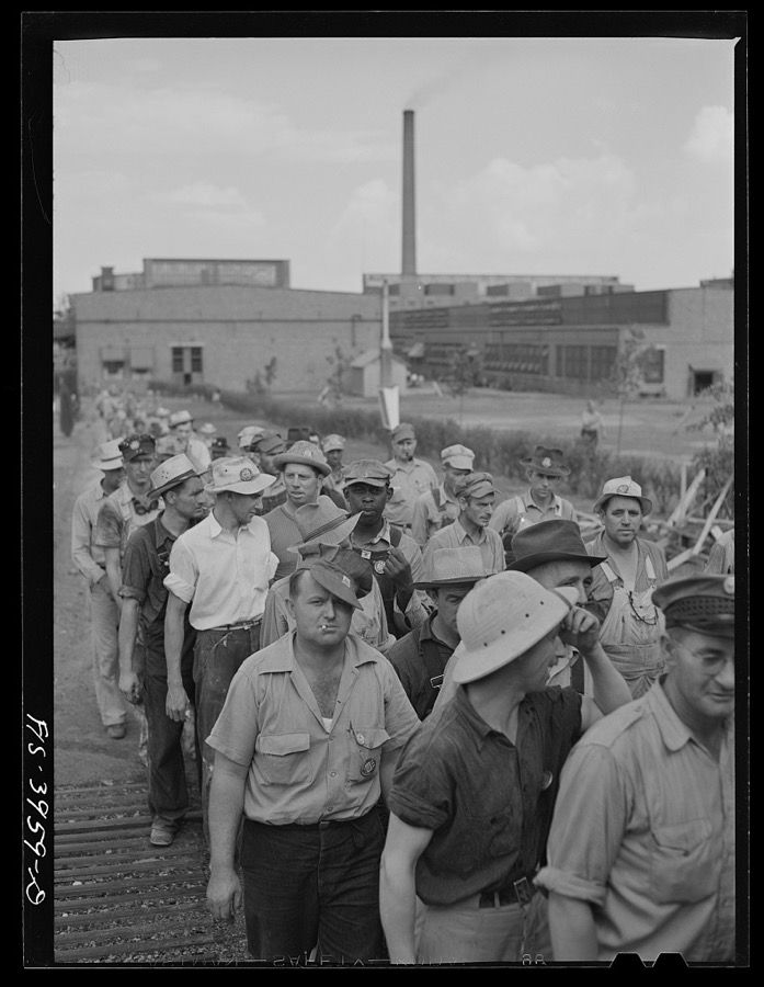
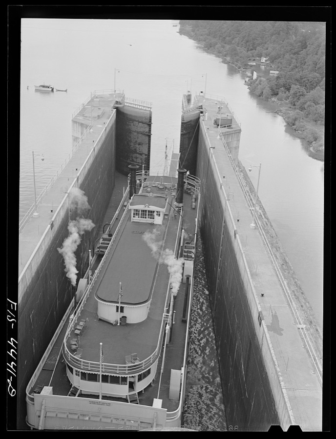
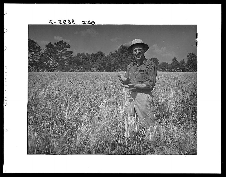
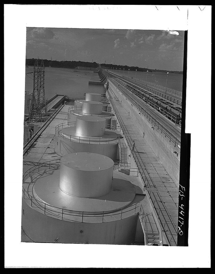
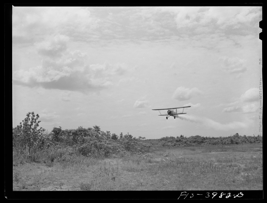
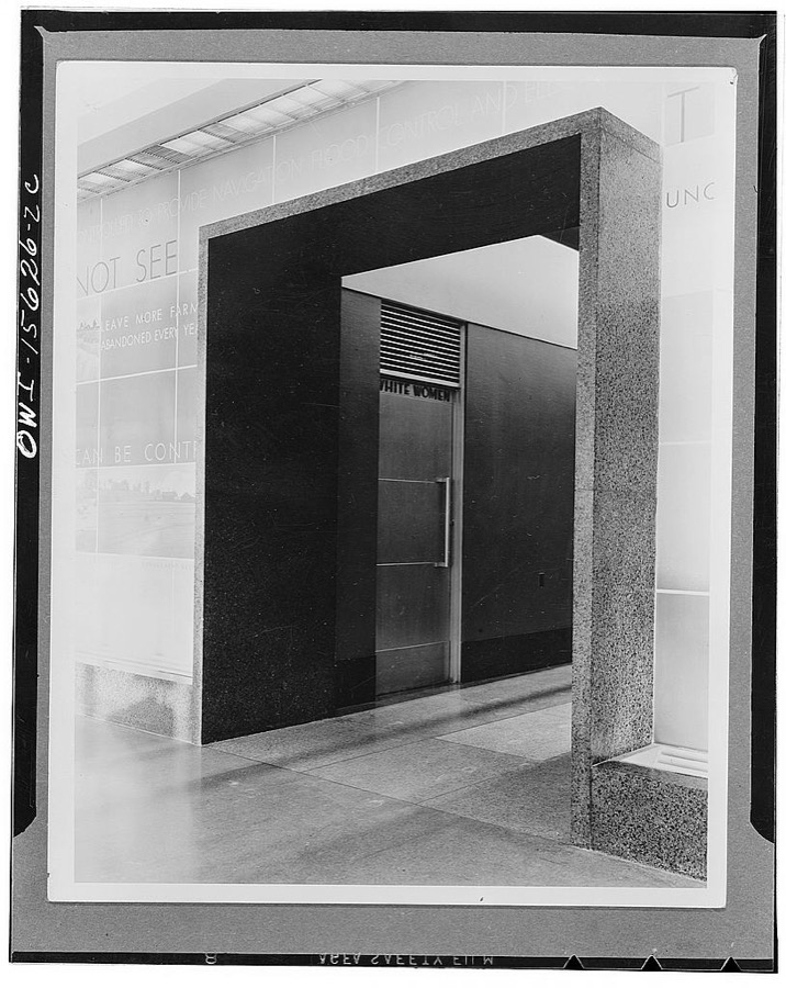
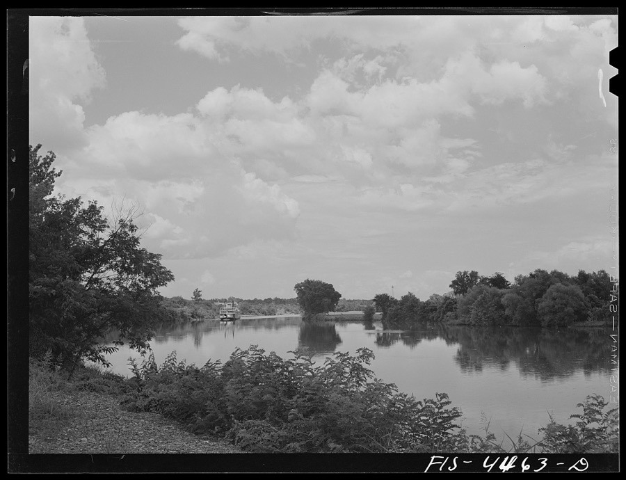
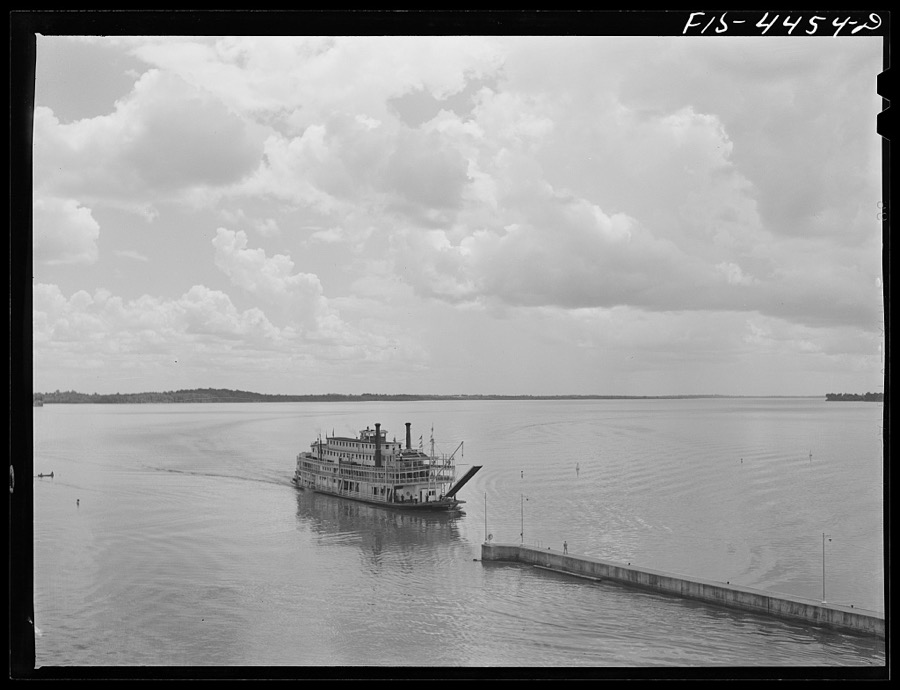
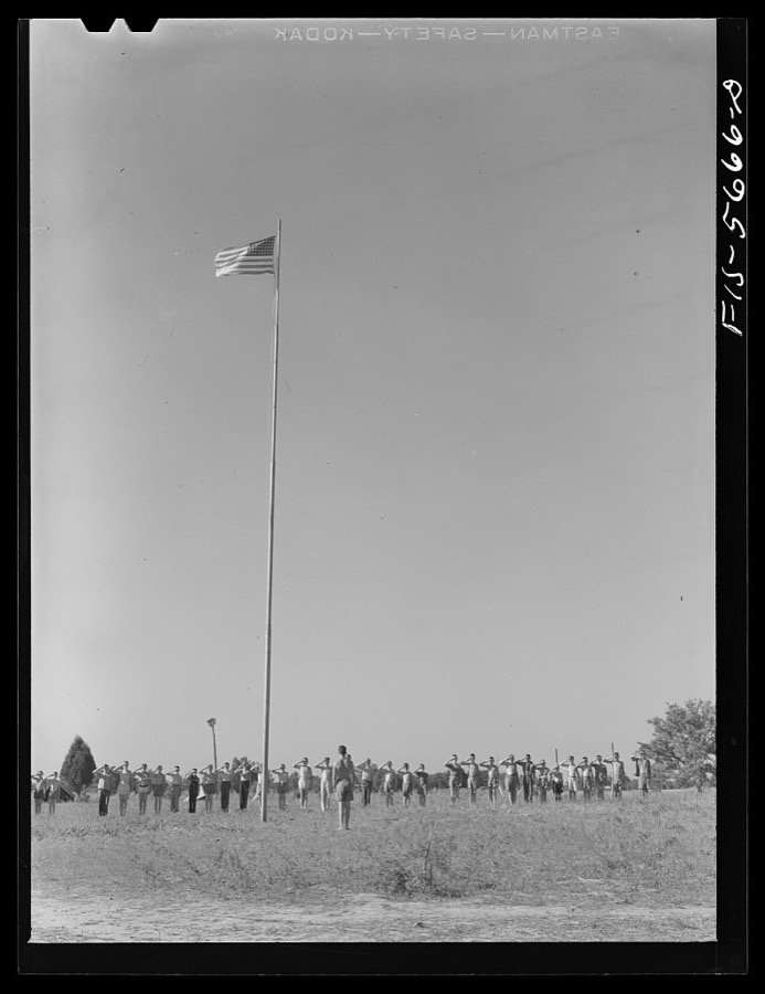
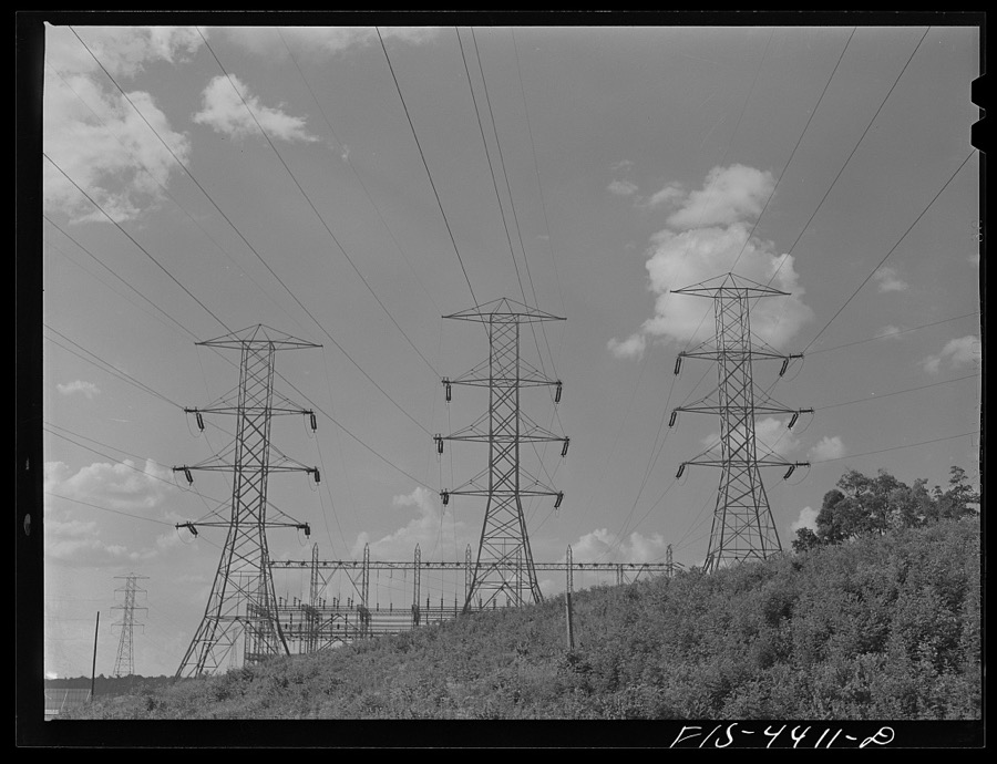
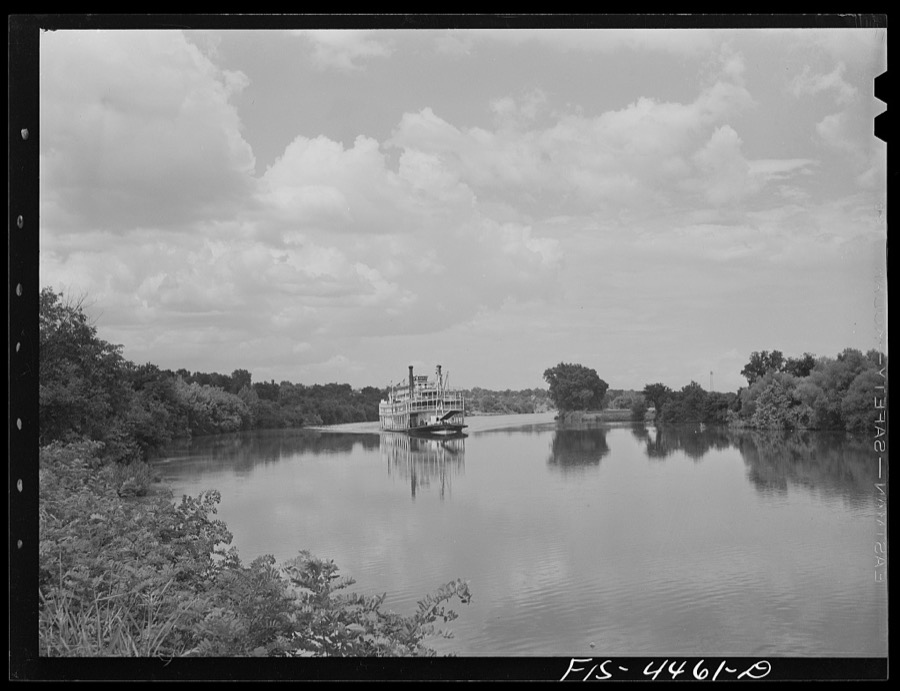
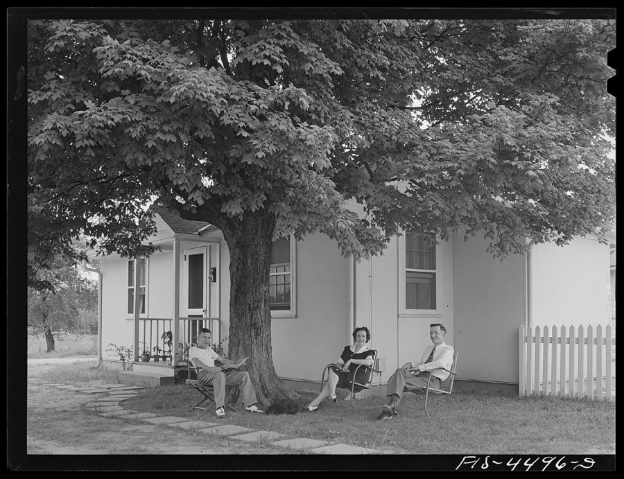
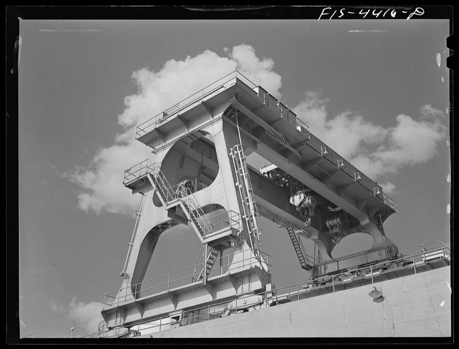
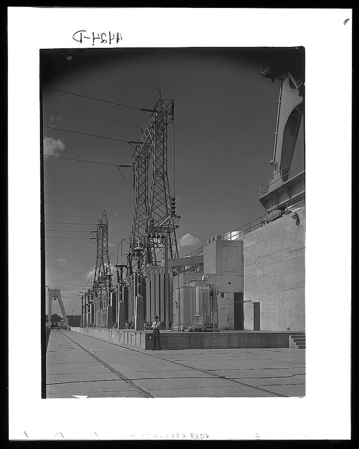
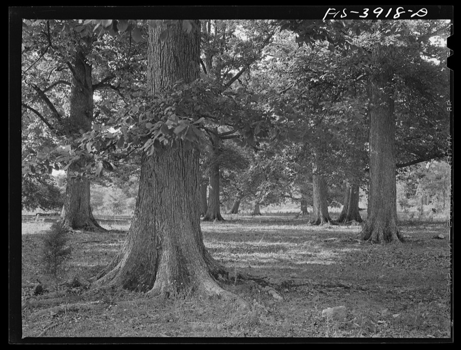
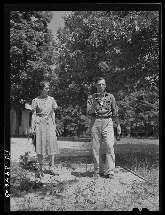
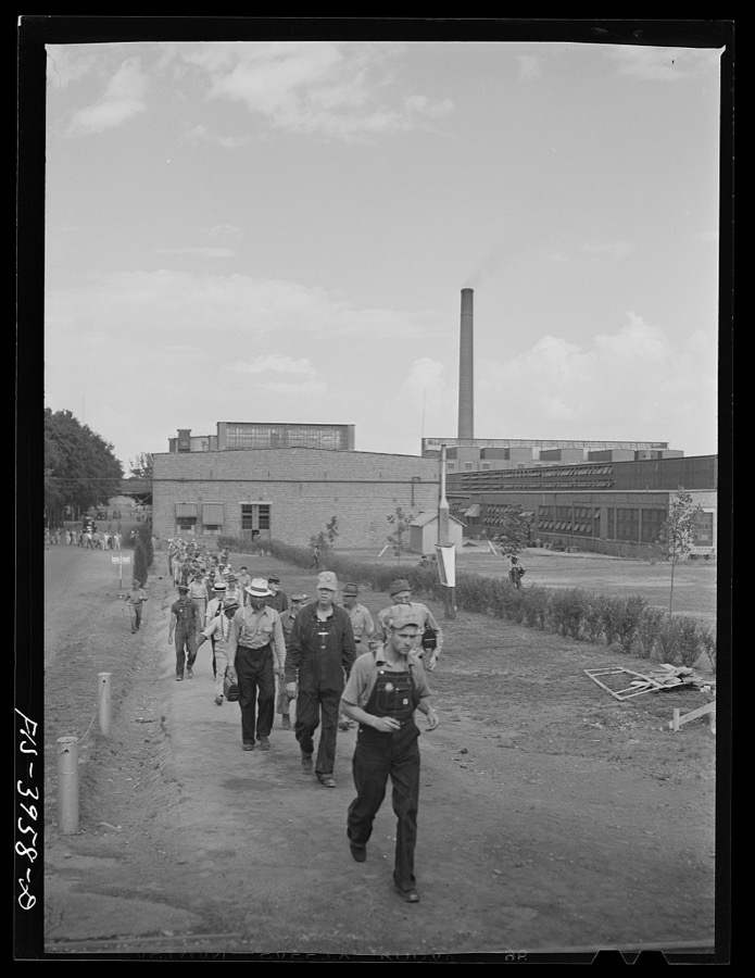
Taken for the Office of War Information and the Farm Security Administration, who photographed the country between 1935 and 1944. Works of United States government photographers, with no known restriction on use. Each opens its catalogue record.
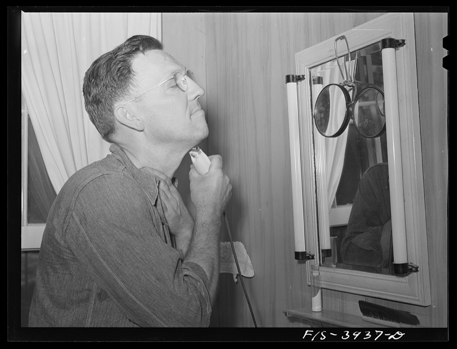
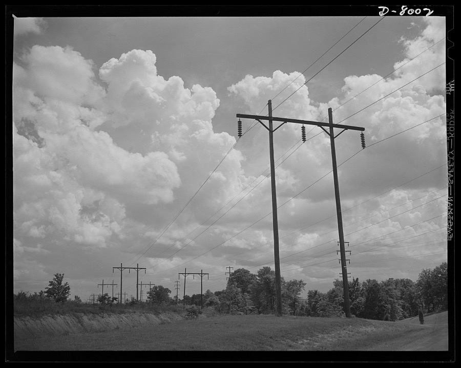
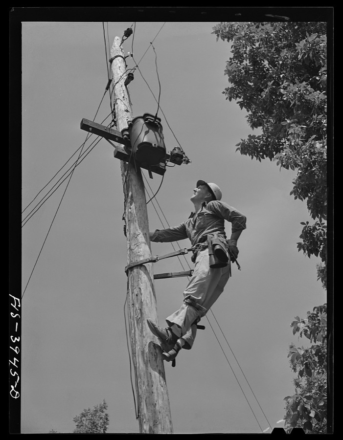


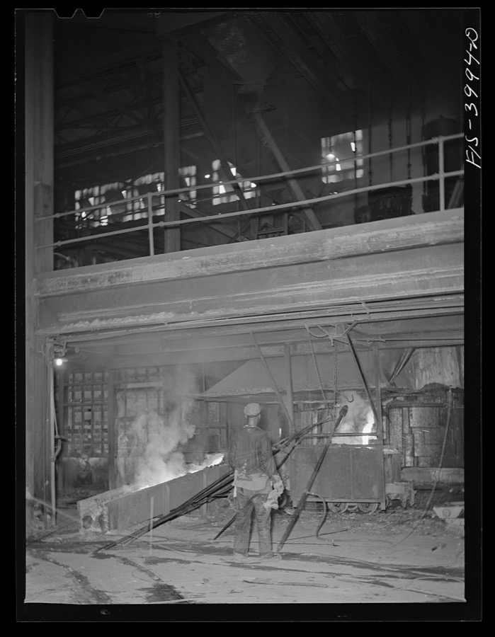



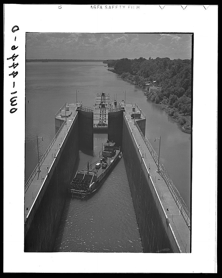
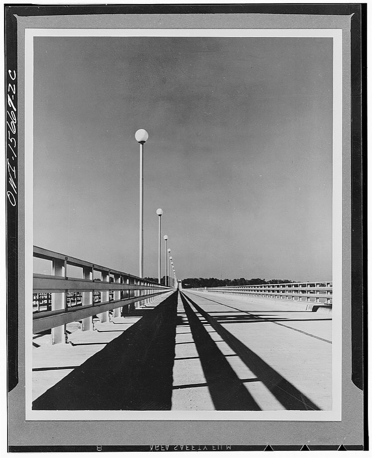
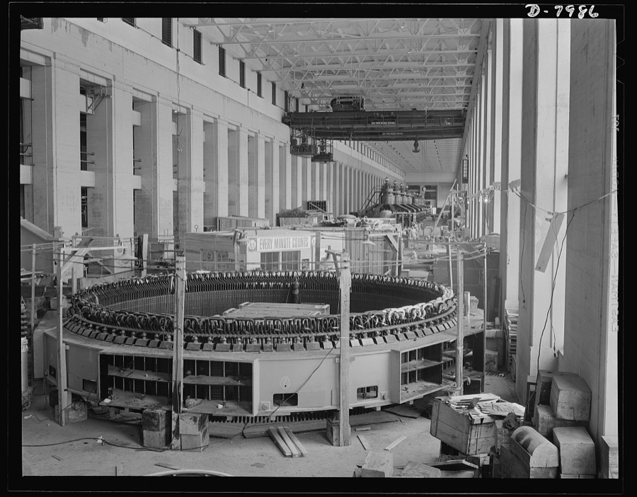

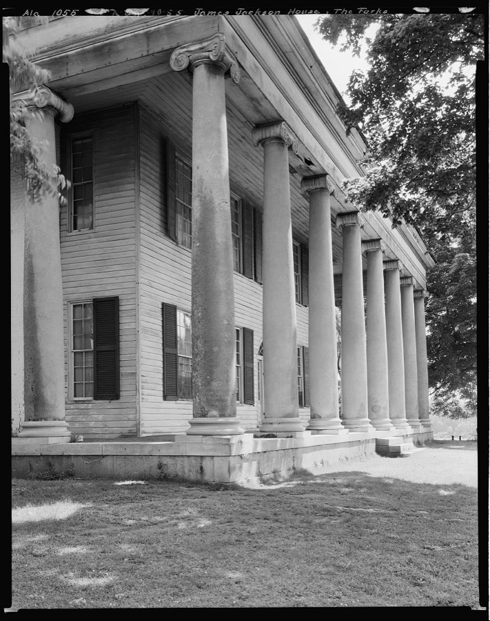

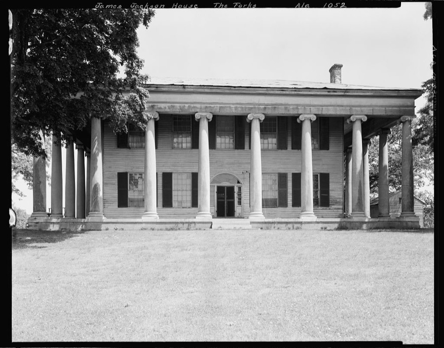





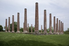
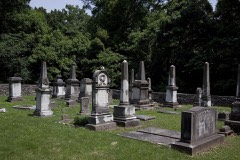
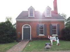
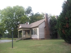
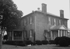
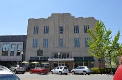
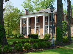
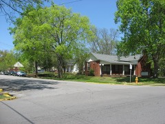
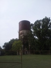
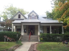
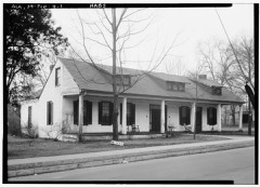
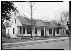
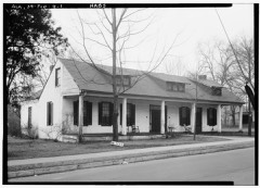
Every property in this county listed on the National Register of Historic Places, with the year it was listed and the federal nomination document.
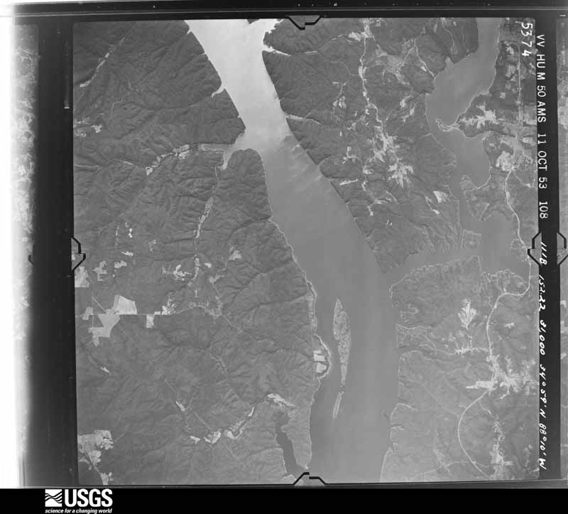
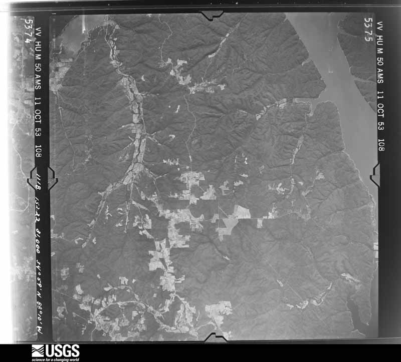
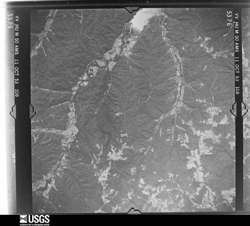
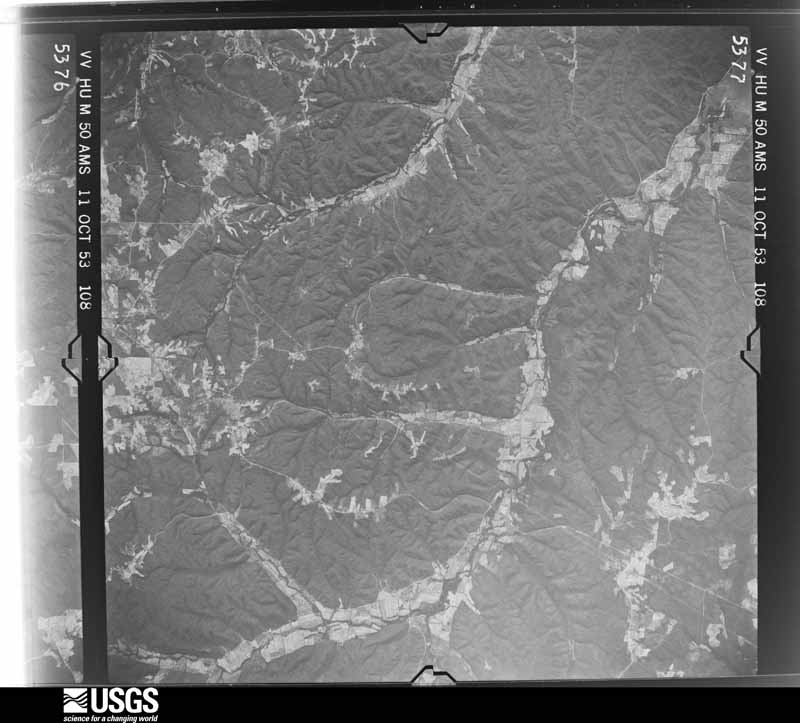
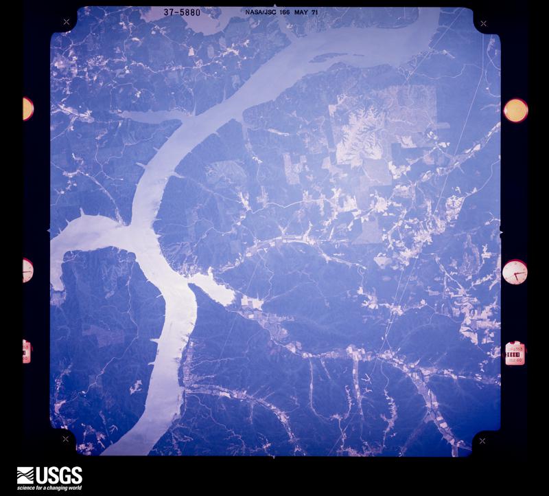
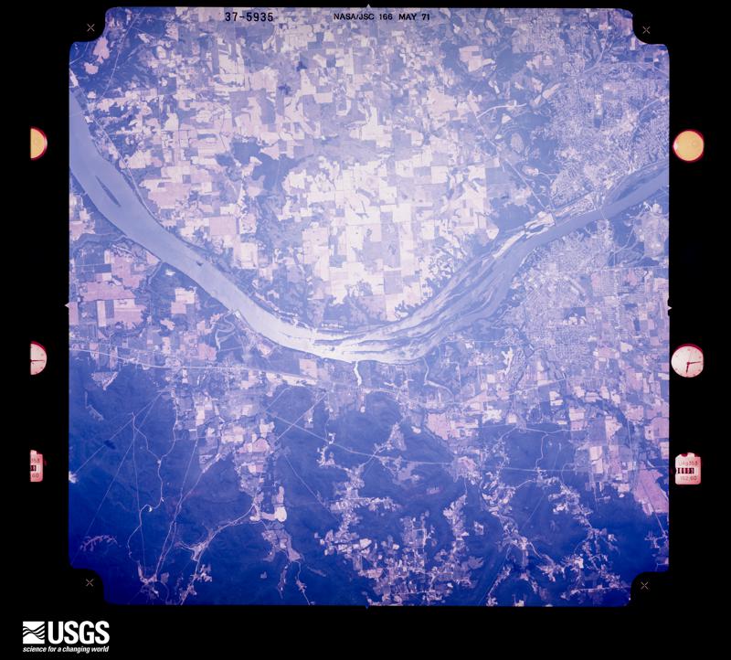
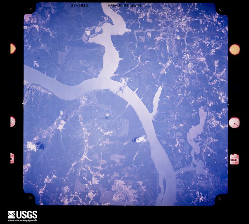
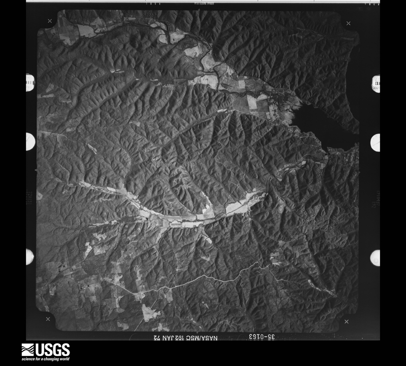
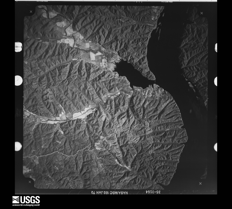
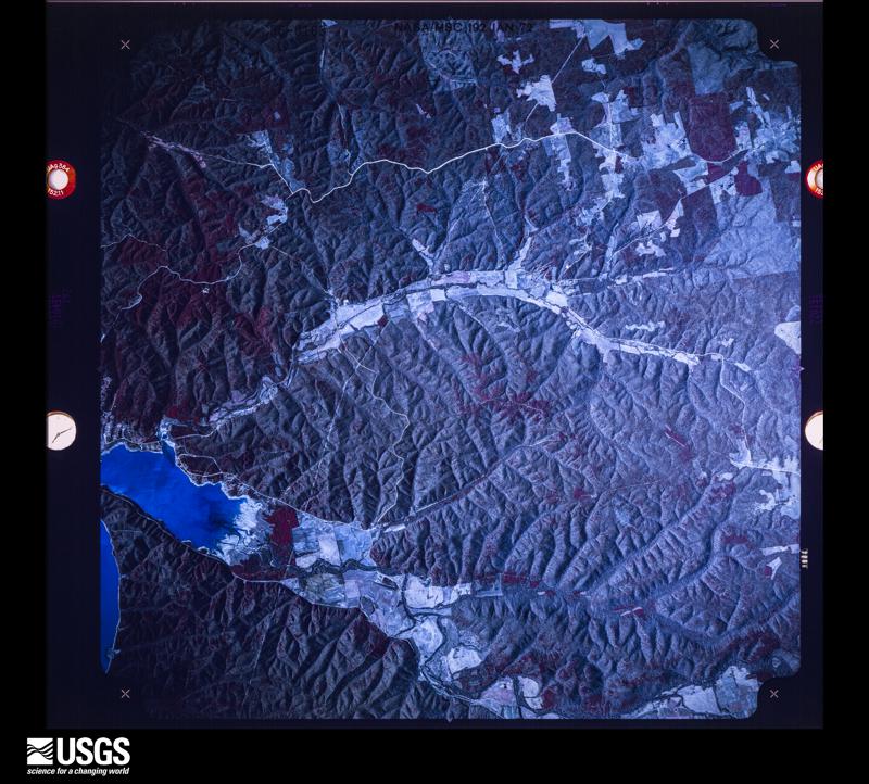
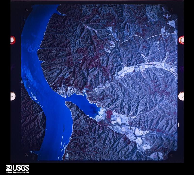
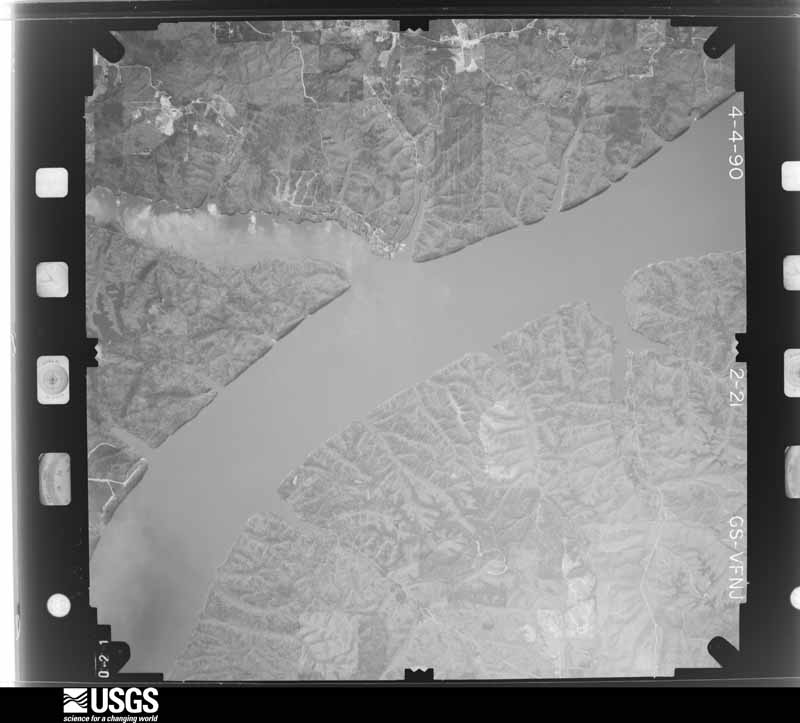
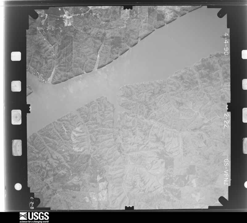
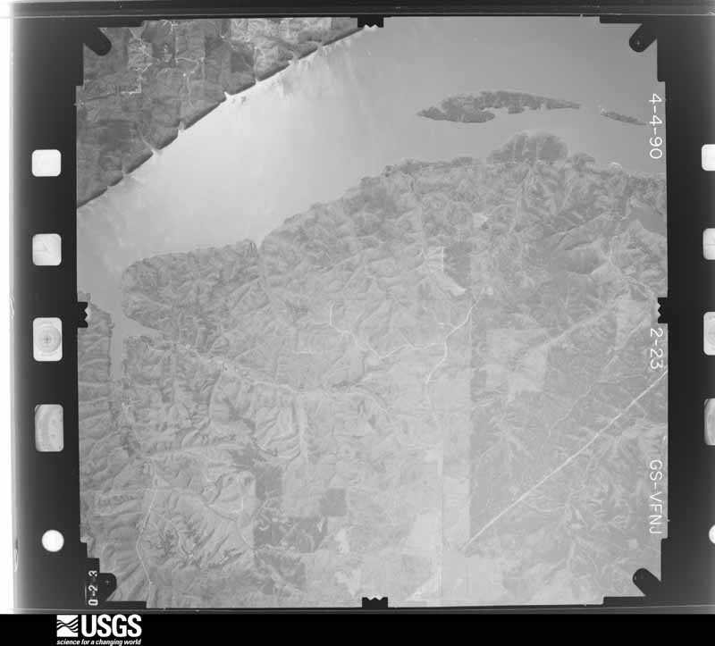
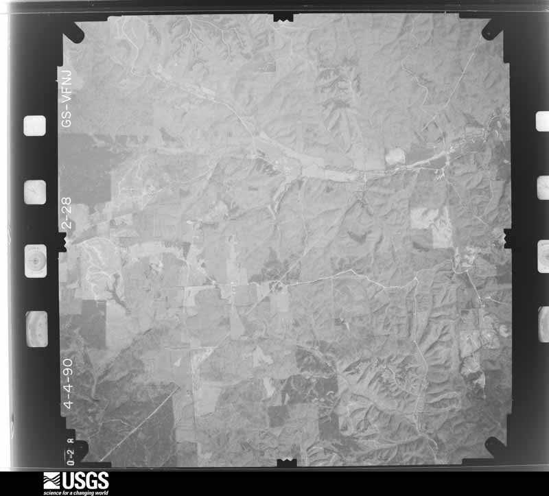
Flown by the U.S. Geological Survey between 1937 and 1989, the Aerial Photo Single Frames collection is the definitive mid-century view of the land: fields, roads and rivers as the camera saw them. The Survey holds 788 frames inside the rectangle that bounds this county; the 20 frames below were taken over the county itself, chosen across the decades of flights (at most four a year from that rectangle), so one flight cannot crowd out the rest. The full set is free to browse and download at EarthExplorer under the dataset Aerial Photo Single Frames.





The thermometers that kept this county's weather, and the gages that measured the flow of its streams, as the federal records hold them. The extremes below are measured values from those records, not estimates.
Who lived here in 1950, one enumeration district at a time, as the Census Bureau described each district. Each row opens its official National Archives result, with Population Schedules and ED Maps available there.
Every wildfire the federal occurrence database records inside this county: 1,174 of them, burning about 9,418 acres. 8 started naturally and 504 were recorded as arson. Each settlement page carries the fires within five miles of it.
| Reported cause | Fires |
|---|---|
| Arson/incendiarism | 504 |
| Debris and open burning | 382 |
| Equipment and vehicle use | 101 |
| Missing data/not specified/undetermined | 75 |
| Smoking | 52 |
| Misuse of fire by a minor | 25 |
| Recreation and ceremony | 22 |
| Natural | 8 |
| Power generation/transmission/distribution | 2 |
| Fireworks | 1 |
| Other causes | 1 |
| Railroad operations and maintenance | 1 |
The five largest, by the area the report gives. Four of them were set deliberately.
| Date | Cause | Size | Reported by | Name on the report |
|---|---|---|---|---|
| 19 March 2012 | Missing data/not specified/undetermined | 702 acres | Alabama Forestry Commission | NOR-20120319-004 |
| 17 February 1997 | Arson/incendiarism | 350 acres | Alabama Forestry Commission | not named |
| 7 September 1999 | Missing data/not specified/undetermined | 300 acres | Alabama Forestry Commission | not named |
| 6 March 2000 | Arson/incendiarism | 200 acres | Alabama Forestry Commission | not named |
| 5 March 2002 | Missing data/not specified/undetermined | 200 acres | Natchez Trace Parkway | WATERLOO |
| 6 March 2000 | Arson/incendiarism | 150 acres | Alabama Forestry Commission | not named |
| 18 March 2012 | Missing data/not specified/undetermined | 150 acres | Alabama Forestry Commission | NOR-20120318-005 |
| 1 August 1999 | Arson/incendiarism | 125 acres | Alabama Forestry Commission | not named |
Every settlement page carries the fires within five miles of it - see the settlement index below.
The NOAA Storm Events Database holds 1,852 reports for this county, causing 8 deaths, 38 injuries and about $29,385,030 in recorded property damage. Each settlement page carries the reports that name it.
| Kind of event | Reports |
|---|---|
| Thunderstorm Wind | 1331 |
| Hail | 212 |
| Flash Flood | 162 |
| Tornado | 48 |
| Flood | 48 |
| Lightning | 33 |
| Funnel Cloud | 9 |
| Heavy Rain | 9 |
The most serious of them, by death, then injury, then recorded damage. The accounts are quoted exactly as the forecast office filed them.
| When | Event | Place named | Harm | What the report says |
|---|---|---|---|---|
| March 1964 | Tornado (F3) | not stated | 2 killed, 2 hurt, $250,000 | no account filed |
| December 2019 | Flash Flood | Anderson | 1 killed, 2 hurt | Three vehicles were swept by flash flooding on Anderson Creek along CR 50 and CR 52. A 20 year old woman was killed in the vehicle. Two others including the victim's mother in the other vehicles were rescued. Time of occurrence from Times Daily news article. |
| March 1992 | Thunderstorm Wind | not stated | 1 killed, 1 hurt | no account filed |
| May 2008 | Flash Flood | Threet | 1 killed, $30,000 | Rounds of thunderstorms producing very heavy rainfall caused several inches of water to cover the roadway on the Natchez Parkway, about a half mile from the Alabama Highway 20 intersection near Central Heights. This caused a 72 year old man to hydroplane off the road at this location into a nearby creek, which was 7 to 8 feet deep. Tragically, he was unable to swim to shore and passed away. |
| August 2023 | Lightning | Jacksonburg | 1 killed | At approximately 13:09 LST, lightning fatally injured a 28 year old male in the parking lot of a business at 3155 Kendall Drive in Florence. |
| March 2015 | Flash Flood | Waterloo | 1 killed | A local Lauderdale county man drowned after he was stuck in his truck while attempting to cross high waters along Panther Creek near County Road 105 in Waterloo, Alabama. |
| May 2004 | Thunderstorm Wind | Wright | 1 killed | Thunderstorm winds knocked down several trees. One tree on a tent at a camp site resulting in one fatality. |
| November 1951 | Tornado (F2) | not stated | 6 hurt, $2,500 | no account filed |
| June 1994 | Tornado (F3) | not stated | 3 hurt, $500,000 | no account filed |
| May 2008 | Tornado (EF1) | Rhodesville | 2 hurt, $300,000 | A tornado with peak winds of 90 mph began a path near the intersection of County Roads 14 and 16, about 2 miles northwest of Oakland and tracked into the Central Heights community. The tornado produced moderate damage to five homes and uprooted several trees in its path. One of the homes was destroyed along Waterloo Road near Feddler's One Stop Market in Oakland where two men were slightly injured by flying glass. A mobile home was also overturned. The tornado widened to 200 yards before narrowing to around 20 yards toward the end of its path. |
| July 1998 | Flash Flood | Killen | 2 hurt, $30,000 | More than three inches of rain forced Shoal Creek out of its banks. Two men were injured when they drove around barricades and onto flooded CR 8. Their truck was washed off the road and two of the three men jumped into the water and were injured. Most of the flooding was contained to the Shoal Creek area near Goose Shoals. Several people were forced out of their homes due to the rising water. |
| March 1976 | Tornado (F2) | not stated | 2 hurt, $25,000 | no account filed |
| May 2006 | Lightning | Cloverdale | 2 hurt | A lightning strike injured two females inside their Cloverdale residence located in Lauderdale County. It is unknown if this strike was direct or indirect, but no apparent damage was observed to the residence. The victims were 55 and 18 years of age, complained of general numbness and also pains in their legs. They were transported to a local hospital for treatment. |
| April 1993 | Thunderstorm Wind | not stated | 2 hurt | Two employees of a waste disposal company were injured when hit in the head by falling tree limbs, blown down by strong thunderstorm winds. The limbs also knocked down power lines. |
| October 1967 | Tornado (F3) | not stated | 1 hurt, $250,000 | no account filed |
| July 2000 | Thunderstorm Wind | Countywide | 1 hurt, $75,000 | A line of severe thunderstorms moved across Lauderdale County causing widespread damage. Numerous trees and power lines were blown down, golf ball size hail fell in the McGee Town community northwest of Florence, several trees were knocked over onto vehicles or homes, a few homes sustained shingle damage, a few small fires were attributed to lightning strikes, and at least 6000 residents were without power for several hours. A man from Florence received minor injuries when a large tree limb snapped off and pinned him to the ground. He sustained many bruises and a hernia. Some of the towns that received damage were Waterloo, Cloverdale, Oakland, Petersville, Florence, St. Florian, Greenhill, Killen, Lexington, Elgin, and Rogersville. |
| July 2001 | Lightning | Florence | 1 hurt, $8,000 | Thunderstorms moving through Florence produced frequent to continuous cloud to ground lightning. This lightning struck several trees and power lines in the area and a few were knocked down. One woman was struck by lightning around 7:33 pm CDT but the extent of her injuries was unknown. |
| March 2021 | Lightning | Mars Hill | 1 hurt | A law enforcement officer was struck by lightning while evaluating flooding at Mars Hill Bible School and putting up barricades at the intersection of Chisolm Road and Gresham Road. The officer suffered burns and was treated at a local hospital. |
| August 2016 | Thunderstorm Wind | Oliver | 1 hurt | EMA reported a tree fell on a car and caused a minor injury to an 8 year old female passenger. |
| July 2016 | Lightning | North Florence | 1 hurt | Broadcast media and ema reported a man struck by lightning near Florence on the afternoon of 7/14. The man was taken to the hospital with minor injuries. |
| December 2015 | Tornado (EF2) | Waterloo | 1 hurt | A tornado touched down initially near the intersection of Country Road 14 and County Road 54 north of Waterloo, in extreme western Lauderdale County. Multiple trees were snapped and uprooted along the nearby creek and along CR 54.||The next available damage was viewed along CR 1 south of CR 40. Many softwood and hardwood trees were snapped and uprooted along the hillside into the neighboring valley. The tornado damaged a single family home, removing large portions of the roofing marterial, and damaged the Williams Chapel Presbyterian Church where nearby residents were taking shelter. The tornado crossed CR 1, leaving almost no tree untouched in a large stand of pine trees.||The tornado continued over the hill to CR 40 where the most significant damage was observed. The tornado snapped numerous hardwood trees south of CR 40, caused minor damage to a single family residence, and pushed a mobile home off its foundation. Upon crossing CR 40, the tornado tore almost the entire roofing structure off a single family home, injuring one inhabitant, and tossing the debris into the trees behind it. The tornado continued over a small hill into a hollow, snapping and uprooting numerous trees along its path. The tornado continued into Wayne County Tennessee, approximately 1/2 mile north of CR 40. |
| February 2014 | Tornado (EF1) | Anderson | 1 hurt | A tornado touched down in the Anderson community of eastern Lauderdale county Thursday morning. THe tornado first touched down along highway 207 south of CR 86. Multiple hardwood trees were uprooted and snapped here. In addition at least one power pole was snapped at the base.||The tornado moved northeast crossing highway 207 onto CR 86. Here several well built homes sustained minor to moderate roof damage with significant uplift of at least one roof structure. A child suffered minor injuries in one of the homes. The tornado reached its maximum intensity of approximately 105 mph here.||The tornado crossed Hudson Avenue, snapping additional trees and producing minor damage to one home. Sporadic tree damage was also noted along CR 95 and CR 52 before the tornado lifted just east of CR 530. |
| April 2011 | Tornado (EF1) | Smithsonia | 1 hurt | A tornado with an EF-1 intensity produced peak wind speeds up to 90 mph. The tornado touched down 1 mile north of the intersection of County Road 2 and County Road 189 north of Smithsonia. Here, a large storage shed was demolished and a second was partially damaged. The tornado crossed the intersection of County Roads 189 and 221 where a staff member of the Emergency Management Agency for Lauderdale County was injured in his vehicle by broken glass. The tornado continued to the corner of County Roads 189 and 62 where the front end of a church was ripped off and 3 large trees were toppled in different directions. ||Adjacent to the church, a residence had exterior damage, where siding was ripped off and thrown approximately 300 yards into a field. Numerous twigs and sticks were driven into the side of the home and several windows were blown out. A 28 foot travel trailer was picked up, toppled and moved approximately 10 feet. Insulation was sucked out of the attic and into the garage, and the water heater in the home was imploded. The tornado then lifted northeast of this residence. |
| December 2008 | Lightning | Zip City | 1 hurt | A 28 year old female was struck by lightning while standing on a carport. The person was ambulanced to a local hospital. |
| July 2008 | Lightning | Florence | 1 hurt | A lightning bolt hit a tree in McFarland Park in the City of Florence. The lightning bolt also affected a female teenager standing beneath this tree, who was taken to the hospital for treatment with minor injuries. |
| July 2001 | Lightning | Waterloo | 1 hurt | A man was struck by lightning near Waterloo. This man was taken to the hospital with injuries but the extent of those injuries was unknown. |
| July 2001 | Lightning | Lexington | 1 hurt | A man was struck by lightning near Lexington. The extent of his injuries was unknown. |
| April 1979 | Tornado (F1) | not stated | 1 hurt | no account filed |
| March 2023 | Thunderstorm Wind | Florence | $5,400,000 | A bow echo from an embedded supercell within a line of thunderstorms intensified and produced a long-lived and at times wide swath of wind damage as it entered the Shoals, including Florence and Killen, to the east central part of Lauderdale County north of Elgin. Widespread wind damage occurred in south, southeast and eastern Florence to Killen, becoming more sporadic further east. Wind speeds of 60-65 mph occurred in much of this area, with a few gusts of 80-90 mph in a few locations. One of the hardest hit locations was between Killen and Florence where the entire roof was taken off of antique mall, a sign was blown out at a church, and roofing was taken off of a fire station. Trees, power poles and power lines were taken down in numerous locations, stormwater and gas lines were damaged, and debris and utility restoration costs were extensive. Schools buses were damaged, parks were damaged with extensive cleanup. A significant number of residences experienced damage due to falling trees. Damage, cleanup and repair costs are in the millions of dollars. |
| March 2023 | Tornado (EF2) | Florence | $3,900,000 | The tornado touched down near the intersection of Sweetwater Avenue and Huntsville Road in southeast Florence. The tornado nearly paralleled Sweetwater Creek as it tracked northward. Along Sweetwater Creek and Sweetwater Avenue, numerous trees were uprooted and snapped and structures and small outbuildings were damaged. There was also minor room damage to a single family home. As the tornado crossed Highway 43, more trees and minor structure damage was observed near Mall Road and north of Hough Road. The tornado approached Hunter Ridge subdivision northeast of Florence and south of Saint Florian along County Road 61, removing part of a roof at the back of the neighborhood. The tornado then moved northeast into the Plantation Springs subdivision, damaging roofs to two homes on the southeastern corner of Plantation Springs Drive around the Blackberry Trail Golf Course. The tornado then strengthened to its strongest and widest point between Cottonwood Trail and Karley Lane, producing the most widespread structure damage along its path here. About half of the roofs of several homes were destroyed, and the backside of the homes sustained severe damage as the tornado moved through the area. At this point, the tornado was about 100 yards wide, and produced peak winds of 120 mph at this location. The last house on the northeast corner of Plantation Springs Drive sustained the worst damage near the golf course, with more than half the roof destroyed and two rooms with walls collapsed at this location. The tornado lifted shortly after this point. |
| April 2025 | Tornado (EF1) | Wilson Lake | $3,400,000 | A tornado crossed Wilson Lake from Colbert County and moved into the Aqua Vista community with several trees uprooted and large limbs snapped. The tornado tracked to the east-northeast. Drone imagery courtesy of Lauderdale County EMA supplemented the ground survey for areas inaccessible by roads. With this data, it was determined that the tornado then tracked north of County Road 31 where several more trees were uprooted before impacting a neighborhood off of Bull Run road. There, several houses were missing shingles and large portions of fencing. Outdoor sheds had a collapse of most walls and tree damage was also present. The tornado then crossed County Road 33, snapping and uprooting more hardwood trees, and then crossed U.S. Highway 72 just southeast of Elgin, AL. Drone imagery indicated areas of trees uprooted or with large areas of limbs snapped as the tornado crossed Second Creek before lifting just south of Toonersville, where damage to the tree canopy was noted. |
| April 2025 | Tornado (EF1) | Center Star | $3,400,000 | Aerial UAV-drone data provided by Lauderdale County Emergency Management confirmed that an EF-1 tornado tracked from the Center Star area to near Pine Haven Shores.|The damage path began near County Road 107 and tracked east-southeast through the Bluewater Creek area. Numerous hardwood trees were uprooted, and a farm shed sustained roof damage near County Road 33. Additional uprooted trees were observed east of Bluewater Creek, extending through the intersection of Highway 101 and U.S. Highway 72. Sparse damage was noted north of U.S. Highway 72, approaching the Pine Haven Shores area, where the tornado dissipated. |
| March 2023 | Thunderstorm Wind | North Florence | $1,600,000 | A bow echo from an embedded supercell within a line of thunderstorms intensified and produced destructive winds in a narrow swath of north and northeast Florence.|Wind speeds of 60-65 mph occurred in much of this area, with a few gusts of 80-90 mph in a few locations. Trees, power poles and power lines were taken down in multiple locations. Trees were knocked down onto multiple homes and vehicles. The Seven Points district and areas just north and northeast of the University of North Alabama campus were hit particular hard. Along this long swath, a significant number of trees, power lines and power pols were knocked down. Many residences experience minor to severe damage from trees falling onto their homes or vehicles. |
| May 2010 | Flood | Pritton | $1,000,000 | Between 2 and 4 inches of rainfall combined with 8 inches of rainfall the previous day upstream in Lawrenceburg (Tennessee), caused Shoal Creek to rise above it's banks on Sunday evening, May 2. This resulted in flooded homes near the river as the night progressed. This flooding continued and became worse through the early morning hours on Monday. The creek crested at a record 23.12 feet, before gradually receding. ||Locations at and near the Bluff View Shores and Hidden Valley community were particularly hard hit from flood waters from Shoal Creek. The force of the flowing water broke several docks with numerous boats still attached to their slips free from there cables at the Emerald Beach Marina in Killen. They were taken downstream in the powerful currents to the old twin bridges on Highway 72, just north of the entrance to the Tennessee River. The docks making up the marina (total of 16 - 5K each) were unusable after cleanup and one boat along with it's contents valued at about 42,000 dollars was destroyed. Emergency response costs to remove the docks, boats, and other debris from the bridge was estimated at 31,000 dollars. In Addition, costs of contractors to assist emergency response crews totaled 434,500 dollars.||In addition, the powerful flood current broke a work barge from it's moorings and sent it downstream. It struck Happy Hollow bridge on CR 47 sometime after midnight on Monday. The barge scraped the bottom of the bridge as it passed underneath and later came to rest further downstream upon the old twin bridges on Highway 72 as well. This forced workers to close the structure for more than five hours until engineers could inspect the damage. Only minor damage was found and the bridge was reopened before noon. |
| August 2007 | Thunderstorm Wind | Grassy | $1,000,000 | A barn roof was blow off and a shed damaged northwest of Anderson on County Road 510. |
| June 1994 | Thunderstorm Wind | not stated | $500,000 | A series of thunderstorms wreaked havoc with Lauderdale County with some of the hardest hit areas including Center Star, Cloverdale, Central, Elgin, and Killen-Rogersville area according to EMA officials. Trees were blown down and heavy rain also produced flash flooding which flooded Lauderdale 8 where 13 people had to be rescued when water stranded several cars and swept one off a bridge. The heavy rain/flash flooding washed out culverknots and damaged 14 bridges, two of which were completely destroyed. Cloverdale reported seven inches of rain during the series of thunderstorms. |
| June 1994 | Thunderstorm Wind | Lexington | $500,000 | no account filed |
| January 2002 | Flash Flood | Countywide | $400,000 | no account filed |
| May 2003 | Flash Flood | Countywide | $350,000 | widespread flash flooding occurred throughout the county. florence sustained extensive flooding |
| May 2011 | Thunderstorm Wind | Florence | $295,000 | Widespread power outages across the city of Florence. Numerous trees and powerlines were knocked down. Thirty to fiffty power poles knocked down, which cut power to 20000 customers. |
| May 2003 | Tornado (F1) | Rogersville | $250,000 | 18 homes and around a hundred trees uprooted and snapped. |
| April 1982 | Tornado (F1) | not stated | $250,000 | no account filed |
| March 1965 | Tornado (F3) | not stated | $250,000 | no account filed |
| November 2003 | Thunderstorm Wind | Rogersville | $200,000 | Thunderstorm winds produced a wind damage path of 30 yards in width and a half a mile wide in length. Seven homes had portions of their roofs blown off with one roof completely blown off. Several outdoor sheds were destroyed and at least thirty trees were blown down by the thunderstorm winds. |
| May 2003 | Tornado (F1) | Florence | $200,000 | five homes with roof damage and three barns destroyed along with at least 100 trees uprooted and twisted. |
| May 1995 | Tornado (F1) | Florence | $200,000 | Funnel clouds were reported with a storm that moved from the northern portion of Florence northeastward to the area of the Green Hill community about 14 miles northeast of Florence. Just south of the Green Hill community, a small tornado damaged about 10 houses in the vicinity of County Road 47 and United States 43. Ten houses were damaged including several homes that lost roofs or portions of roofs and several barns were destroyed. Numerous trees and power lines were down. |
| February 1999 | Tornado (F2) | Killen | $145,000 | A tornado occurred around 5:55 pm about 4 miles northeast of Killen in northern Lauderdale County. A mobile home was destroyed, several houses were heavily damaged, numerous trees were downed and uprooted, and several other structures sustained damage. The damage area was along CR 71 in the Antioch area. |
| April 2025 | Thunderstorm Wind | Wright | $100,000 | Up to 70 trees were knocked down in Brush Creek Park. The park was closed for a number of days following the storm event. |
| December 2021 | Thunderstorm Wind | Jacksonburg | $100,000 | Severe wind damage was reported to two buildings/businesses at 4230 and 4242 Bryson Blvd. The roof of the Global Fire Sprinklers office was blown off allowing much of the office to experience damage. Time estimated by radar. |
| April 2011 | Thunderstorm Wind | Waterloo | $100,000 | A narrow swath of damaging thunderstorm winds began in Waterloo, pushed through Oakland, Underwood-Petersville, then subsided after hitting Saint Florian. The path of damage was not continuous. However, the winds knocked numerous trees down, including two on homes. One was at the 25000 block of County Road 14 in Oakland. Another was along Rasch Road in Underwood-Petersville where a resident escaped harm. The tree destroyed several rooms in the home. Dozens of nearby trees were uprooted. Some of the trees were large pines and oaks. Minor structural damage was also reported to an industrial plant in Underwood-Petersville. |
| May 2011 | Thunderstorm Wind | Elgin | $100,000 | Widespread wind damage and power outages were reported in the Elgin area. Numerous trees were blown down and some structural damage to buildings occurred. A metal garage was heavily damaged and blown 50 yards along US 72. Also at least one mobile home was significantly damaged. |
| May 2008 | Tornado (EF1) | Gravelly Spgs | $100,000 | A tornado with peak winds of around 100 mph touched down near a cove along the Tennessee River and moved east northeast, nearly paralleling county road 14 between the Wright and Rhodesville communities. Extensive tree damage was observed with multiple large trees uprooted and many medium size tree trunks snapped. The heaviest damage occurred to a farm along county road 14, where an all metal barn was completely destroyed, an awning adjacent to another outbuilding was ripped off, and concrete posts were ripped from the ground. The metal roofing was catapulted approximately 1/2 of a mile. |
| March 2022 | Thunderstorm Wind | Sullivan Xrds | $90,000 | A narrow swath of winds between 64 and 93 mph affect locations just southwest of the intersection of CR 106 and Highway 20 (east of the Natchez Trace Parkway) and moved northeast before weakening near the Cloverdale community. Some of the most severe damage occurred near the beginning of the its path, where the roof of Cornerstone Church of Christ received significant damage, two power poles were snapped near its base, and trees were uprooted. Several very large trees were uprooted along CR 81 as it moved further northeast. Significant roof damage occurred along CR 200 just southwest of the intersection of Lindsey Drive to a commercial structure. Additional uprooted trees and roof/awning damage occurred to homes near Lindsey Drive and Lynne Drive. A huge 3 to 4 foot in diameter pine tree was snapped at its base near Lynn Drive. These intense winds continued to move northeast, crossing CR 154 and uprooting several large softwood trees just west of the intersection of CR 291. As the severe storm continued northeast, winds collapsed the door of a small barn and broke off large branches from trees as it crossed CR 8. The swath of damage continue to near the intersection of Cloverdale road and Cooper Drive, where several more trees were uprooted. |
| February 1999 | Thunderstorm Wind | Lexington | $85,000 | Additional damage occurred in Lauderdale County from about 5 miles southwest of Lexington eastward to Anderson. Strong straight line wind downed several trees and caused minor roof damage to several structures. EMA reported damage to 10 to 12 houses in the Anderson area as well as the area south of Lexington. Shingles were disturbed on a number of houses. Several trees blocked highways including CR 52 and 50. Trees reportedly fell on two vehicles in the Anderson area. |
| December 2021 | Thunderstorm Wind | St Florian | $75,000 | Trees and power lines were knocked down at the Woodland Hills Mobile Home Park on Woodland Hills Drive. Eight mobile homes were damaged. A media account indicated a tree destroyed at least one trailer with three occupants narrowly escaping injury. Time estimated by radar. |
| December 2008 | Thunderstorm Wind | Murphy Xrds | $70,000 | Severe thunderstorm winds knocked down 18 trees and heavily damaged 4 mobile homes. Two mobile homes were blown off their foundation. One roof was torn off. This damage occurred along the 7100 block of County Road 8. |
| August 2000 | Thunderstorm Wind | Cloverdale | $60,000 | Dime size hail was reported in Cloverdale. The Cloverdale School suffered significant damage when part of the roof and some walls collapsed. |
| April 2025 | Thunderstorm Wind | Florence | $50,000 | A tree was knocked down on two vehicles at 321 North Seminary Street. |
| April 2025 | Thunderstorm Wind | North Florence | $50,000 | A tree was knocked down on two vehicles at 1247 Graham Avenue. |
| March 2023 | Thunderstorm Wind | Weeden Hgts | $50,000 | A narrow swath of very high winds knocked down trees, power lines, uplifted roofing at multiple residences, and destroyed a well constructed outbuilding/detached garage. |
The Survey's mineral resources record lists 7 workings inside this county. None of them still produces: all are closed or unrecorded. Each settlement page carries the workings within five miles of it.
| Commodity | Workings |
|---|---|
| Silica | 4 |
| Iron | 3 |
The least common of them first, because a county's hundredth gravel pit says nothing its first ten did not.
| Where | Site | Commodity | Status | Recorded |
|---|---|---|---|---|
| Unnamed | Iron | Unknown | ||
| Unnamed | Iron | Unknown | ||
| Unnamed | Iron | Unknown | ||
| Beckham Hollow Tripoli | Silica | Past Producer | Quartz | |
| Bumpass Creek Tripoli | Silica | Occurrence | 1962 | |
| Lester Hollow Tripoli | Silica | Occurrence | Tripoli | |
| White Hollow | Silica | Occurrence | Tripoli |
Named settlements recorded in the Geographic Names Information System, each with the topographic sheets covering it. Villages, hamlets and abandoned places alike. Each is shown with the nearest named watercourse or landform and the survey quadrangle it falls on. The 2 places that were also surveyed for fire insurance come first, with the number of atlases and photographs held for them.
Florence census division · 35630 · Near River Hill (historical) · Florence quadrangle
19 sheets, 1914 to 1986
Fire insurance: 9 atlases
Rogersville census division · 35652 · On Neeley Branch · Rogersville quadrangle
17 sheets, 1914 to 1986
Fire insurance: 2 atlases
Rogersville census division · 35610 · On East Fork Anderson Creek · Lexington quadrangle
16 sheets, 1914 to 1986
Rogersville census division · 35652 · On Mill Branch · Cairo quadrangle
15 sheets, 1936 to 1986
Killen census division · 35645 · On Taylor Branch · Center Hill quadrangle
17 sheets, 1914 to 1986
Killen census division · 35645 · Near Shinglemill Hollow · Wheeler Dam quadrangle
17 sheets, 1914 to 1986
Lexington census division · 35648 · On Little Bluewater Creek · Center Hill quadrangle
17 sheets, 1914 to 1986
Killen census division · 35634 · Near Happy Hollow · Pruitton quadrangle
17 sheets, 1914 to 1986
No longer a settlement
Killen census division · 35645 · On East Fork Sixmile Creek · Pruitton quadrangle
17 sheets, 1914 to 1986
No longer a settlement
Florence census division · 35634 · On Brotherick Branch · Pruitton quadrangle
17 sheets, 1914 to 1986
Florence census division · 35634 · Near Five Acre Island (historical) · Killen quadrangle
18 sheets, 1914 to 1986
No longer a settlement
Killen census division · 35645 · On Douglass Branch · Wheeler Dam quadrangle
17 sheets, 1914 to 1986
No longer a settlement
Florence census division · 35630 · On Craven Branch · Florence quadrangle
19 sheets, 1914 to 1986
Florence census division · 35630 · On Craven Branch · Florence quadrangle
19 sheets, 1914 to 1986
Lexington census division · 35648 · On Keaty Branch · Center Hill quadrangle
17 sheets, 1914 to 1986
No longer a settlement
Florence census division · 35634 · On Price Branch · Killen quadrangle
18 sheets, 1914 to 1986
Lexington census division · 35652 · On Bluewater Creek · Wheeler Dam quadrangle
17 sheets, 1914 to 1986
No longer a settlement
Rogersville census division · 35610 · Union Hill quadrangle
14 sheets, 1936 to 1986
No longer a settlement
Cloverdale census division · 35633 · On May Branch · Blackburn quadrangle
17 sheets, 1914 to 1986
Killen census division · 35645 · On Tanyard Branch · Wheeler Dam quadrangle
17 sheets, 1914 to 1986
Florence census division · 35634 · On Wilson Branch · Blackburn quadrangle
17 sheets, 1914 to 1986
Florence census division · 35633 · On Little Cypress Creek · Florence quadrangle
19 sheets, 1914 to 1986
Killen census division · 35645 · Near Trousdale Hollow · Killen quadrangle
18 sheets, 1914 to 1986
Florence census division · 35630 · On Cox Creek · Florence quadrangle
19 sheets, 1914 to 1986
Florence census division · 35630 · Near McFarland Bottoms · Florence quadrangle
19 sheets, 1914 to 1986
No longer a settlement
Rogersville census division · 35652 · On Big Branch · Cairo quadrangle
15 sheets, 1936 to 1986
Rogersville census division · 35652 · On Bills Branch · Lexington quadrangle
16 sheets, 1914 to 1986
No longer a settlement
Killen census division · 35648 · On Allen Branch · Center Hill quadrangle
17 sheets, 1914 to 1986
Killen census division · 35645 · On Tanyard Branch · Wheeler Dam quadrangle
17 sheets, 1914 to 1986
Cloverdale census division · 35633 · On Lindsey Creek · Threet quadrangle
19 sheets, 1924 to 1986
Florence census division · 35630 · On Wilson Creek · Florence quadrangle
19 sheets, 1914 to 1986
Cloverdale census division · 35633 · On Greenbrier Branch · Threet quadrangle
19 sheets, 1924 to 1986
Florence census division · 35633 · On Bailey Branch · Florence quadrangle
19 sheets, 1914 to 1986
Lexington census division · 35648 · On Dry Branch · Center Hill quadrangle
17 sheets, 1914 to 1986
Rogersville census division · 35652 · On Dement Creek · Cairo quadrangle
15 sheets, 1936 to 1986
Rogersville census division · 35652 · By Ivy Bluff · Lexington quadrangle
16 sheets, 1914 to 1986
No longer a settlement
Oakland census division · 35630 · Near Stewart Spring Hollow · Florence quadrangle
19 sheets, 1914 to 1986
Florence census division · 35630 · On Craven Branch · Florence quadrangle
19 sheets, 1914 to 1986
Oakland census division · 35633 · On Little Cypress Creek · Florence quadrangle
19 sheets, 1914 to 1986
Florence census division · 35630 · On Cox Creek · Florence quadrangle
19 sheets, 1914 to 1986
Waterloo census division · 35677 · Near Crusoe Island (historical) · Wright quadrangle
18 sheets, 1924 to 1986
Rogersville census division · 35652 · Near Weaver Island · Rogersville quadrangle
17 sheets, 1914 to 1986
Florence census division · 35630 · On Sweetwater Creek · Florence quadrangle
19 sheets, 1914 to 1986
Killen census division · 35645 · On Brush Creek · Killen quadrangle
18 sheets, 1914 to 1986
Lexington census division · 35652 · Near Ingram Hollow · Wheeler Dam quadrangle
17 sheets, 1914 to 1986
Rogersville census division · 35652 · On York Branch · Rogersville quadrangle
17 sheets, 1914 to 1986
Rogersville census division · 35652 · On Anderson Creek · Cairo quadrangle
15 sheets, 1936 to 1986
Killen census division · 35645 · On Saint Florian Branch · Killen quadrangle
18 sheets, 1914 to 1986
Rogersville census division · 35652 · On Belue Branch · Rogersville quadrangle
17 sheets, 1914 to 1986
No longer a settlement
Florence census division · 35634 · On Price Branch · Killen quadrangle
18 sheets, 1914 to 1986
Cloverdale census division · 35633 · On Middle Cypress Creek · Blackburn quadrangle
17 sheets, 1914 to 1986
Cloverdale census division · 35633 · On Middle Cypress Creek · Blackburn quadrangle
17 sheets, 1914 to 1986
Florence census division · 35634 · On Brotherick Branch · Pruitton quadrangle
17 sheets, 1914 to 1986
Rogersville census division · 35652 · By Saltpeter Cave Bluff · Rogersville quadrangle
17 sheets, 1914 to 1986
Oakland census division · 35633 · Near White Bottoms · Sinking Creek quadrangle
18 sheets, 1924 to 1986
Oakland census division · 35633 · On Little Cypress Creek · Florence quadrangle
19 sheets, 1914 to 1986
Rogersville census division · 35648 · On Corn Branch · Lexington quadrangle
16 sheets, 1914 to 1986
Waterloo census division · 35677 · Near Bluff Creek Hill · Wright quadrangle
18 sheets, 1924 to 1986
Oakland census division · 35633 · On Smith Ditch · Sinking Creek quadrangle
18 sheets, 1924 to 1986
No longer a settlement
Waterloo census division · 35677 · Near Smith Hollow · Yellow Creek quadrangle
21 sheets, 1911 to 1994
No longer a settlement
Florence census division · 35633 · On Cox Creek · Florence quadrangle
19 sheets, 1914 to 1986
Killen census division · 35645 · On Saint Florian Branch · Killen quadrangle
18 sheets, 1914 to 1986
Florence census division · 35634 · On Storey Branch · Blackburn quadrangle
17 sheets, 1914 to 1986
Killen census division · 35645 · On Brush Creek · Pruitton quadrangle
17 sheets, 1914 to 1986
Killen census division · 35645 · On Dry Branch · Wheeler Dam quadrangle
17 sheets, 1914 to 1986
Rogersville census division · 35652 · On Hurricane Branch · Lexington quadrangle
16 sheets, 1914 to 1986
No longer a settlement
Florence census division · 35634 · Near Five Acre Island (historical) · Killen quadrangle
18 sheets, 1914 to 1986
Cloverdale census division · 35633 · On Posey Branch · Threet quadrangle
19 sheets, 1924 to 1986
Florence census division · 35634 · On Shoal Creek · Killen quadrangle
18 sheets, 1914 to 1986
Cloverdale census division · 35677 · On Cooper Branch · Wright quadrangle
18 sheets, 1924 to 1986
No longer a settlement
Florence census division · 35634 · On Parsonage Branch · Blackburn quadrangle
17 sheets, 1914 to 1986
No longer a settlement
Florence census division · 35634 · On Jones Branch · Pruitton quadrangle
17 sheets, 1914 to 1986
No longer a settlement
Oakland census division · 35633 · On McIntyre Ditch · Sinking Creek quadrangle
18 sheets, 1924 to 1986
Killen census division · 35645 · On Shoal Creek · Killen quadrangle
18 sheets, 1914 to 1986
No longer a settlement
Lexington census division · 35648 · On Dry Branch · Center Hill quadrangle
17 sheets, 1914 to 1986
Florence census division · 35634 · On Shoal Creek · Killen quadrangle
18 sheets, 1914 to 1986
Killen census division · 35645 · On Brush Creek · Killen quadrangle
18 sheets, 1914 to 1986
Florence census division · 35630 · Near Forty Acres Island (historical) · Killen quadrangle
18 sheets, 1914 to 1986
Killen census division · 35645 · On Saint Florian Branch · Killen quadrangle
18 sheets, 1914 to 1986
Florence census division · 35634 · Near Five Acre Island (historical) · Killen quadrangle
18 sheets, 1914 to 1986
Florence census division · 35634 · On Saint Florian Branch · Killen quadrangle
18 sheets, 1914 to 1986
Killen census division · 35645 · On Sixmile Creek · Killen quadrangle
18 sheets, 1914 to 1986
Killen census division · 35645 · On Sixmile Creek · Killen quadrangle
18 sheets, 1914 to 1986
Lexington census division · 35652 · On Bluewater Creek · Wheeler Dam quadrangle
17 sheets, 1914 to 1986
Florence census division · 35634 · On Price Branch · Killen quadrangle
18 sheets, 1914 to 1986
Oakland census division · 35633 · On Burcham Creek · Sinking Creek quadrangle
18 sheets, 1924 to 1986
Cloverdale census division · 35633 · On Bailey Branch · Florence quadrangle
19 sheets, 1914 to 1986
Lexington census division · 35652 · Near Ingram Hollow · Wheeler Dam quadrangle
17 sheets, 1914 to 1986
No longer a settlement
Florence census division · 35630 · On Craven Branch · Florence quadrangle
19 sheets, 1914 to 1986
Killen census division · 35645 · On Brush Creek · Killen quadrangle
18 sheets, 1914 to 1986
No longer a settlement
Waterloo census division · 35677 · On Bumpass Creek · Waterloo quadrangle
18 sheets, 1911 to 1994
No longer a settlement
Killen census division · 35645 · Pruitton quadrangle
17 sheets, 1914 to 1986
No longer a settlement
Oakland census division · 35633 · Near White Bottoms · Florence quadrangle
19 sheets, 1914 to 1986
Killen census division · 35634 · On Cowpen Creek · Pruitton quadrangle
17 sheets, 1914 to 1986
No longer a settlement
Waterloo census division · 35633 · On Bruton Branch · Threet quadrangle
19 sheets, 1924 to 1986
No longer a settlement
Lexington census division · 35645 · On Dog Branch · Center Hill quadrangle
17 sheets, 1914 to 1986
Florence census division · 35630 · On Craven Branch · Florence quadrangle
19 sheets, 1914 to 1986
Florence census division · 35634 · On Price Branch · Killen quadrangle
18 sheets, 1914 to 1986
Rogersville census division · 35652 · Near Slop Hollow · Rogersville quadrangle
17 sheets, 1914 to 1986
Waterloo census division · 35677 · Near Sharp Hollow · Waterloo quadrangle
18 sheets, 1911 to 1994
No longer a settlement
Florence census division · 35633 · On Bailey Branch · Florence quadrangle
19 sheets, 1914 to 1986
Rogersville census division · 35652 · Near Strickland Hollow · Union Hill quadrangle
14 sheets, 1936 to 1986
No longer a settlement
Oakland census division · 35633 · On Box Branch · Sinking Creek quadrangle
18 sheets, 1924 to 1986
Killen census division · 35645 · On West Fork Richardson Creek · Center Hill quadrangle
17 sheets, 1914 to 1986
No longer a settlement
Florence census division · 35630 · On Cox Creek · Florence quadrangle
19 sheets, 1914 to 1986
Florence census division · 35630 · Near River Hill (historical) · Florence quadrangle
19 sheets, 1914 to 1986
No longer a settlement
Florence census division · 35630 · On Cox Creek · Florence quadrangle
19 sheets, 1914 to 1986
Oakland census division · 35633 · Near White Bottoms · Sinking Creek quadrangle
18 sheets, 1924 to 1986
Rogersville census division · 35652 · On Mill Branch · Rogersville quadrangle
17 sheets, 1914 to 1986
Killen census division · 35648 · On Little Bluewater Creek · Center Hill quadrangle
17 sheets, 1914 to 1986
No longer a settlement
Killen census division · 35645 · On East Fork Sixmile Creek · Pruitton quadrangle
17 sheets, 1914 to 1986
Rogersville census division · 35652 · On Thompson Branch · Rogersville quadrangle
17 sheets, 1914 to 1986
Killen census division · 35645 · On Tanyard Branch · Wheeler Dam quadrangle
17 sheets, 1914 to 1986
Rogersville census division · 35652 · On York Branch · Rogersville quadrangle
17 sheets, 1914 to 1986
Rogersville census division · 35652 · On York Branch · Rogersville quadrangle
17 sheets, 1914 to 1986
Killen census division · 35648 · Near Michael Hollow · Center Hill quadrangle
17 sheets, 1914 to 1986
No longer a settlement
Rogersville census division · 35610 · On Hurn Spring Branch · Lexington quadrangle
16 sheets, 1914 to 1986
Florence census division · 35634 · On Little Butler Creek · Pruitton quadrangle
17 sheets, 1914 to 1986
Rogersville census division · 35652 · On Page Branch · Rogersville quadrangle
17 sheets, 1914 to 1986
Oakland census division · 35633 · On Fowler Branch · Sinking Creek quadrangle
18 sheets, 1924 to 1986
Florence census division · 35634 · Near Five Acre Island (historical) · Killen quadrangle
18 sheets, 1914 to 1986
Rogersville census division · 35652 · By Saltpeter Cave Bluff · Rogersville quadrangle
17 sheets, 1914 to 1986
Rogersville census division · 35652 · On Perry Branch · Rogersville quadrangle
17 sheets, 1914 to 1986
Florence census division · 35630 · On Wilson Creek · Florence quadrangle
19 sheets, 1914 to 1986
Cloverdale census division · 35633 · On Ijams Branch · Blackburn quadrangle
17 sheets, 1914 to 1986
Waterloo census division · 35677 · In Shaw Hollow · Yellow Creek quadrangle
21 sheets, 1911 to 1994
No longer a settlement
Florence census division · 35633 · On Cox Creek · Florence quadrangle
19 sheets, 1914 to 1986
Killen census division · 35645 · On Brush Creek · Killen quadrangle
18 sheets, 1914 to 1986
Florence census division · 35630 · Near Stewart Spring Hollow · Florence quadrangle
19 sheets, 1914 to 1986
Florence census division · 35634 · On Shoal Creek · Killen quadrangle
18 sheets, 1914 to 1986
Killen census division · 35648 · On Keaty Branch · Center Hill quadrangle
17 sheets, 1914 to 1986
No longer a settlement
Oakland census division · 35633 · On Cave Spring Branch · Cherokee quadrangle
19 sheets, 1924 to 1986
Florence census division · 35634 · On Saint Florian Branch · Killen quadrangle
18 sheets, 1914 to 1986
Lexington census division · 35652 · On Springfield Branch · Center Hill quadrangle
17 sheets, 1914 to 1986
Florence census division · 35633 · On Ijams Branch · Blackburn quadrangle
17 sheets, 1914 to 1986
No longer a settlement
Killen census division · 35645 · On West Fork Richardson Creek · Pruitton quadrangle
17 sheets, 1914 to 1986
No longer a settlement
Rogersville census division · 35610 · On Warren Branch · Union Hill quadrangle
14 sheets, 1936 to 1986
No longer a settlement
Cloverdale census division · 35633 · On Hurricane Creek · Threet quadrangle
19 sheets, 1924 to 1986
Florence census division · 35633 · On Chisholm Branch · Blackburn quadrangle
17 sheets, 1914 to 1986
Lexington census division · 35648 · On Keaty Branch · Center Hill quadrangle
17 sheets, 1914 to 1986
Florence census division · 35633 · On Chisholm Branch · Blackburn quadrangle
17 sheets, 1914 to 1986
Florence census division · 35630 · On Craven Branch · Florence quadrangle
19 sheets, 1914 to 1986
Rogersville census division · 35652 · By Saltpeter Cave Bluff · Rogersville quadrangle
17 sheets, 1914 to 1986
Oakland census division · 35633 · Near Stewart Spring Hollow · Florence quadrangle
19 sheets, 1914 to 1986
Cloverdale census division · 35633 · On North Fork Cypress Creek · Threet quadrangle
19 sheets, 1924 to 1986
Rogersville census division · 35652 · On Herston Branch · Rogersville quadrangle
17 sheets, 1914 to 1986
Florence census division · 35630 · On Huddon Creek · Florence quadrangle
19 sheets, 1914 to 1986
Florence census division · 35633 · On Bailey Branch · Florence quadrangle
19 sheets, 1914 to 1986
Florence census division · 35633 · On Bailey Branch · Florence quadrangle
19 sheets, 1914 to 1986
Killen census division · 35645 · On Shakerag Branch · Pruitton quadrangle
17 sheets, 1914 to 1986
Waterloo census division · 35677 · Near Keaton Hollow · Waterloo quadrangle
18 sheets, 1911 to 1994
Florence census division · 35634 · On Wilson Branch · Blackburn quadrangle
17 sheets, 1914 to 1986
No longer a settlement
Florence census division · 35630 · Near Jones Hollow · Florence quadrangle
19 sheets, 1914 to 1986
Rogersville census division · 35610 · Union Hill quadrangle
14 sheets, 1936 to 1986
No longer a settlement
Rogersville census division · 35652 · On Herston Branch · Lexington quadrangle
16 sheets, 1914 to 1986
Florence census division · 35630 · Near Jones Hollow · Florence quadrangle
19 sheets, 1914 to 1986
No longer a settlement
Florence census division · 35630 · Near Forty Acres Island (historical) · Killen quadrangle
18 sheets, 1914 to 1986
Florence census division · 35630 · On Cox Creek · Florence quadrangle
19 sheets, 1914 to 1986
Oakland census division · 35633 · On Sinking Creek · Sinking Creek quadrangle
18 sheets, 1924 to 1986
Florence census division · 35634 · Near Five Acre Island (historical) · Killen quadrangle
18 sheets, 1914 to 1986
Waterloo census division · 35677 · On Barton Branch · Wright quadrangle
18 sheets, 1924 to 1986
Florence census division · 35634 · On Parsonage Branch · Blackburn quadrangle
17 sheets, 1914 to 1986
The vanished settlements of Lauderdale County: the places named above that are no longer on the map.
19 topographic sheets and 9 fire insurance atlases, 1884 to 1949
The complete index, with nothing left out. Each of these is a separate record with its own page: a federal survey report, or the case file that argued a property on to the National Register. Both are public domain and reproduced word for word.
The vanished settlements of Lauderdale County, the places these records name that are no longer on the map.