 Block
Marietta, Alabama
17 topographic sheets cover this place, the earliest surveyed in 1893 and the latest in 1984. It stands in the Oakman census division. It lies in ZIP code area 35579. It lies near Clemments Mountain. The Survey maps it on the Oakman quadrangle.
Topographic sheets covering this place
7 surveys from 17 printed sheetsMatched by testing this settlement's coordinate against the published boundary of every sheet in the United States Geological Survey's historical collection. Each opens the scanned sheet at the Survey.
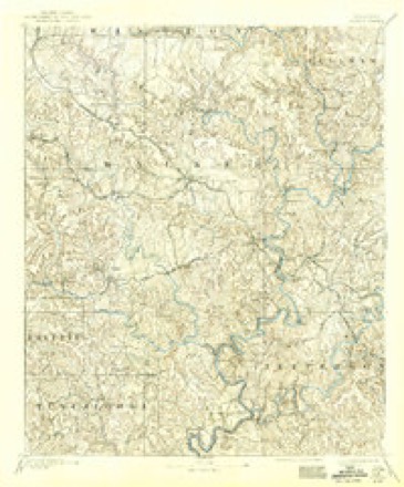
- 1893 USGS Jasper quadrangle1:125000, 5 printings
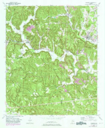
- 1949 USGS Oakman quadrangle1:24000, 2 printings
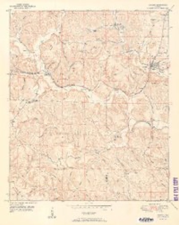
- 1951 USGS Oakman quadrangle1:24000, 2 printings
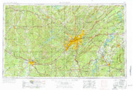
- 1953 USGS Birmingham quadrangle1:250000, 4 printings
- 1956 USGS Birmingham quadrangle1:250000
- 1957 USGS Birmingham quadrangle1:250000
- 1984 USGS Jasper quadrangle1:100000, 2 printings
Fires near this place
175 since 1994Regional context, not property-specific evidence. The federal wildfire occurrence database lists 175 fires within 5 miles of Marietta between 1994 and 2020, burning about 1,825 acres in total. None started naturally. 76 were recorded as arson. Distance is straight-line from the map coordinates, so a fire counted here may appear on a neighbouring settlement's page as well.
| Reported cause | Fires |
|---|---|
| Arson/incendiarism | 76 |
| Debris and open burning | 54 |
| Missing data/not specified/undetermined | 29 |
| Equipment and vehicle use | 5 |
| Recreation and ceremony | 5 |
| Power generation/transmission/distribution | 3 |
| Railroad operations and maintenance | 2 |
| Other causes | 1 |
The most recent of them, most recent first, with the day each was reported and the service that recorded it.
| Date | Cause | Size | Reported by | Name on the report |
|---|---|---|---|---|
| 6 September 2016 | Missing data/not specified/undetermined | 2.0 acres | Alabama Forestry Commission | 20160906-9 |
| 6 September 1999 | Arson/incendiarism | under an acre | Alabama Forestry Commission | not named |
| 6 September 1999 | Arson/incendiarism | under an acre | Alabama Forestry Commission | not named |
| 5 September 1998 | Debris and open burning | under an acre | Alabama Forestry Commission | not named |
| 4 September 1999 | Arson/incendiarism | 48 acres | Alabama Forestry Commission | not named |
| 29 September 2019 | Missing data/not specified/undetermined | 3.0 acres | Alabama Forestry Commission | 20190929-15 |
| 28 September 2016 | Debris and open burning | 4.0 acres | Alabama Forestry Commission | 20160928-36 |
| 25 September 2014 | Missing data/not specified/undetermined | 25 acres | Alabama Forestry Commission | NWR-20140925-002 |
Settlements close enough to share some of these fires:
Storms near this place
4 since 2009Regional context, not property-specific evidence. The National Weather Service names Marietta in 4 storm reports between 2009 and 2011: 3 thunderstorm wind, 1 tornado. The reports record 9 deaths and 40 injuries. Each account below is quoted exactly as the forecast office filed it, from the NOAA Storm Events Database, and each date opens the federal record of that event.
| When | Event | Place named | Harm | What the report says |
|---|---|---|---|---|
| April 2011 | Tornado (EF4) | Marietta | 9 killed, 40 hurt, $115,000,000 | The sixth segment of this long track tornado entered southwest Walker County south of Blue Water Rd and moved northeast, where it eventually exited the northeast portion of the county east of Phillipstown Rd. This tornado began in Pickens County, 5 miles northeast of Pickensville, and tracked through Tuscaloosa, Fayette, Walker, Cullman (See Storm Data for Huntsville), and Blount Counties, before it dissipated in Marshall (See Storm Data for Huntsville) County. While the average path width of this tornado in Walker County was around 0.3 miles (528 yds), the tornado widened as it approached the city of Cordova to a path width maximum of 0.6 mile (1056 yds). Shortly after it entered the county, the tornado knocked down a cell phone tower, caused minor roof damage to a mobile home and single family home, and completely destroyed a mobile home as it approached AL Hwy 69. As the storm continued northeast crossing Earnest Chapel Rd southeast of Oakman, several vehicles were rolled and a home was destroyed. This resulted in 1 fatality and 2 injuries. The tornado continued east northeast where it crossed CR 35 and AL Hwy 269 south of Parrish. The tornado weakened to an EF0 as it approached Corridor X/future Interstate 22, with only minor tree damage noted, before it strengthened significantly as it neared Cordova. A 0.6 mile wide swath of EF3 damage, with winds of 140 mph, was noted in downtown Cordova. Numerous homes and buildings sustained significant damage, if not complete destruction, resulting in 4 fatalities. The tornado continued northeastward across Burton Chapel Loop Road and crossed the Mulberry Fork of the Black Warrior River. As it crossed Mountain View Road, the tornado increased to a violent EF4 rating, with winds of 170 mph, and destroyed 2 mobile homes, as well as a single family home. One of the mobile home undercarriages was missing, having been tossed at least 500 yards. At this site, a small bulldozer was flipped over, a pickup truck was tossed 200 yards, and an International 4700 dump truck was tossed 50 yards and was destroyed upon landing. A 2 ton utility trailer from this location was found a mile away, with a 2.5 ft impact crater where it landed. As the tornado neared Old Hwy 78, it tossed two double wide mobile homes at least 100 yards, resulting in their complete destruction. Two fatalities occurred here. The tornado continued toward Sipsey, where an unanchored double wide mobile home was tossed 100 feet up a 50 foot embankment. Two fatalities occurred in this area. The tornado continued at a minimum of EF2 strength to the northeast where it destroyed several homes and tossed a double wide mobile home 100 ft, south of Campbellville. Along this path, significant tree damage was noted, as well as damage to or the complete destruction of numerous other single family homes and manufactured homes.||This was the second tornado to hit downtown Cordova on this day. At 418AM-436AM CST, a tornado with winds of 120 mph moved through the same area causing significant structural damage. |
| May 2010 | Thunderstorm Wind | Marietta | $2,000 | Several trees were blown down on Bethel Road. |
| May 2010 | Thunderstorm Wind | Marietta | $2,000 | Several trees were blown down on Bluewater Road. |
| March 2009 | Thunderstorm Wind | Marietta | $2,000 | Several trees were blown down on AL-69, near Blue Water Trace Road. |
Nearest settlements
The eight closest, with where each one stands in the county. Distances are straight-line, computed from the Geographic Names Information System coordinates.
| Map | Place | Distance | Sheets |
|---|---|---|---|
| Oakman | 0.9 miles | 17 | |
| Stephenson Crossing | 1.2 miles | 17 | |
| Dixie Springs | 1.5 miles | 17 | |
| Enoe | 1.6 miles | 17 | |
| Key Hill | 2.0 miles | 17 | |
| Hayes Crossing | 2.4 miles | 17 | |
| Mountain Valley (historical) | 2.8 miles | 17 | |
| Kings Mill | 3.0 miles | 17 |
Provenance
This settlement is recorded in the Geographic Names Information System as feature 122283. The sheet list is computed by point-in-boundary test against the United States Geological Survey's historical topographic inventory. Both are works of the United States government and carry no copyright under 17 U.S.C. 105.
Wildfire. Short, Karen C. 2022. Spatial wildfire occurrence data for the United States, 1992-2020 [FPA_FOD_20221014]. 6th Edition. Fort Collins, CO: Forest Service Research Data Archive. https://doi.org/10.2737/RDS-2013-0009.6 Collected with United States Government funding and usable without additional permissions or fees.
Storms. NOAA National Centers for Environmental Information, Storm Events Database https://www.ncei.noaa.gov/stormevents/ A work of the United States government, no copyright under 17 U.S.C. 105. Narratives are quoted verbatim from the National Weather Service report and are not edited or summarised.