 Block
From the record
8 National Register listings published here.
Sources: the National Register database, National Park Service
113 topographic sheets and 9 fire insurance atlases across 2 places.
8 National Register listings published here.
Sources: the National Register database, National Park Service
Taken for the Office of War Information and the Farm Security Administration, who photographed the country between 1935 and 1944. Works of United States government photographers, with no known restriction on use. Each opens its catalogue record.
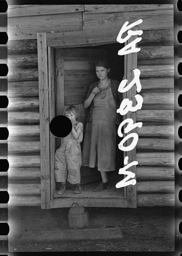
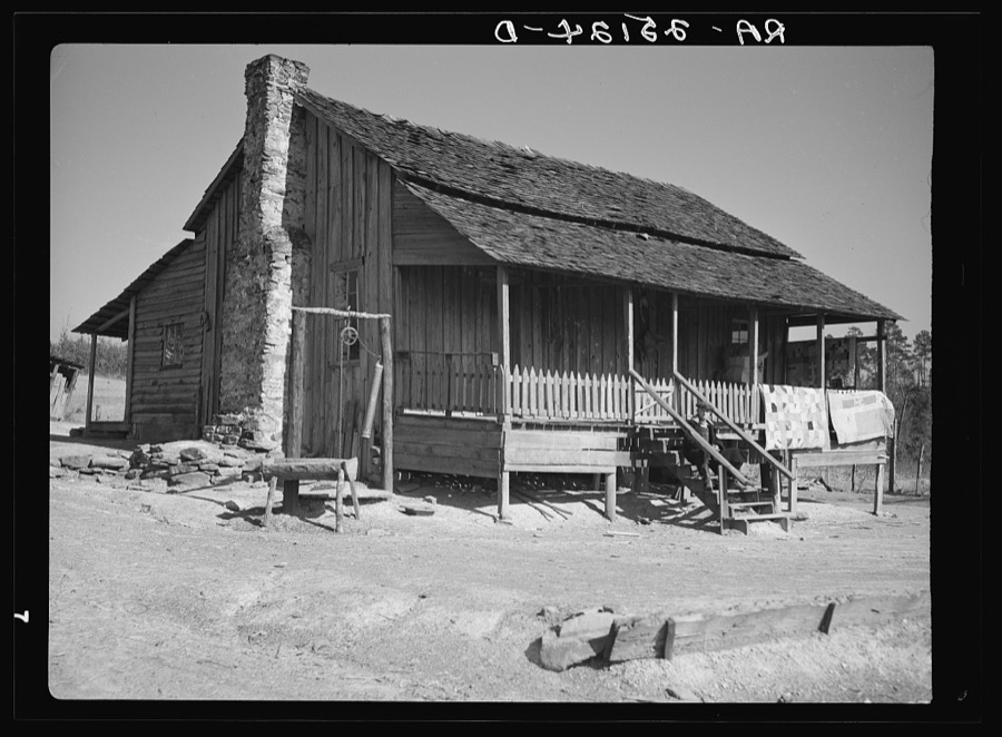
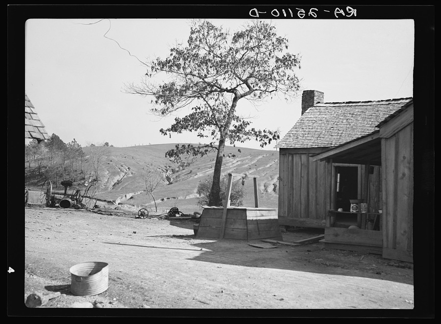
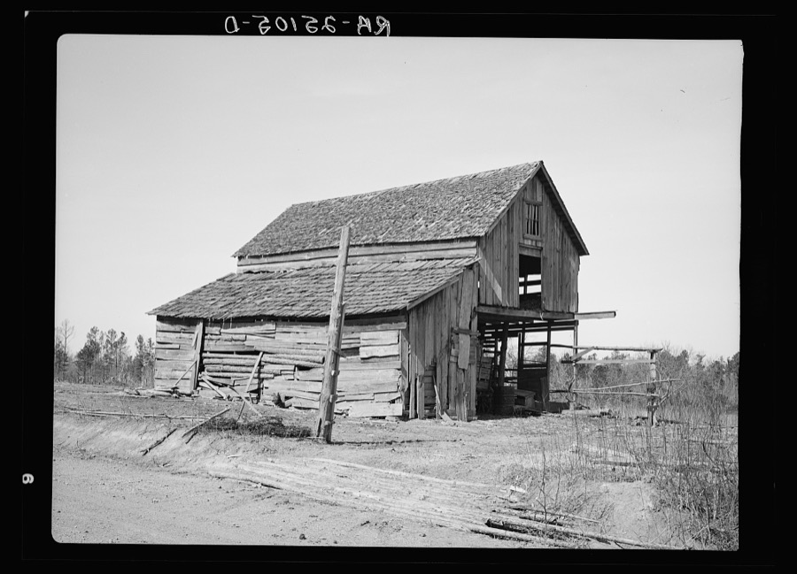
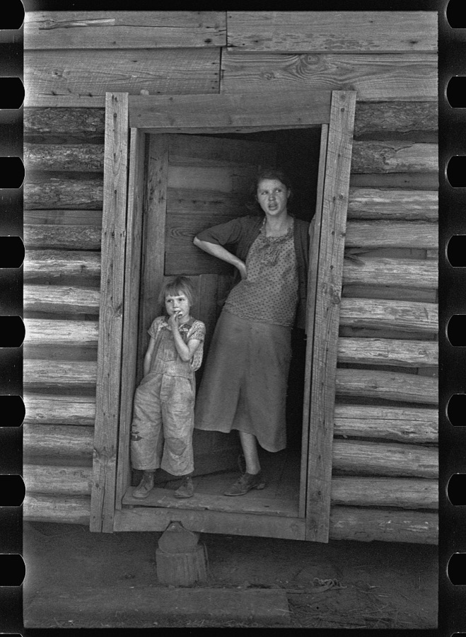
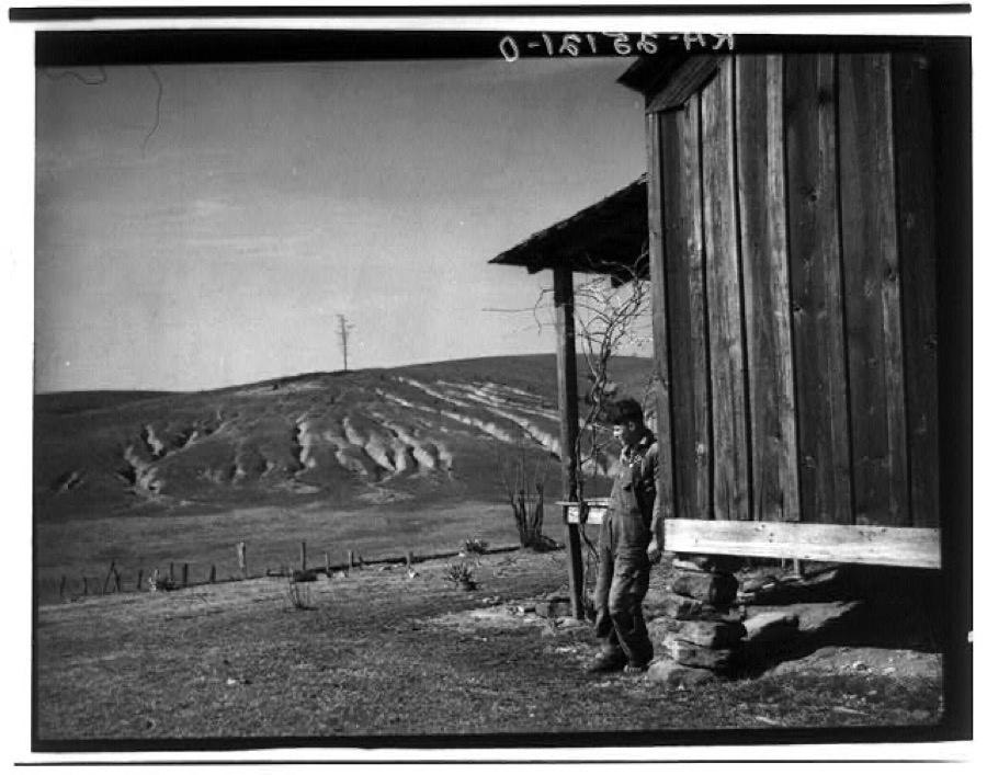
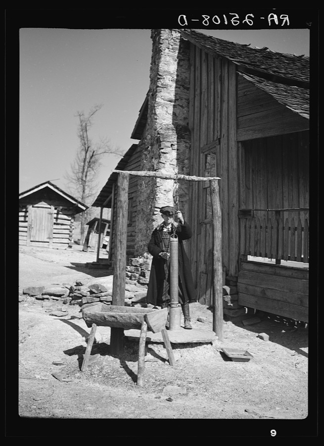
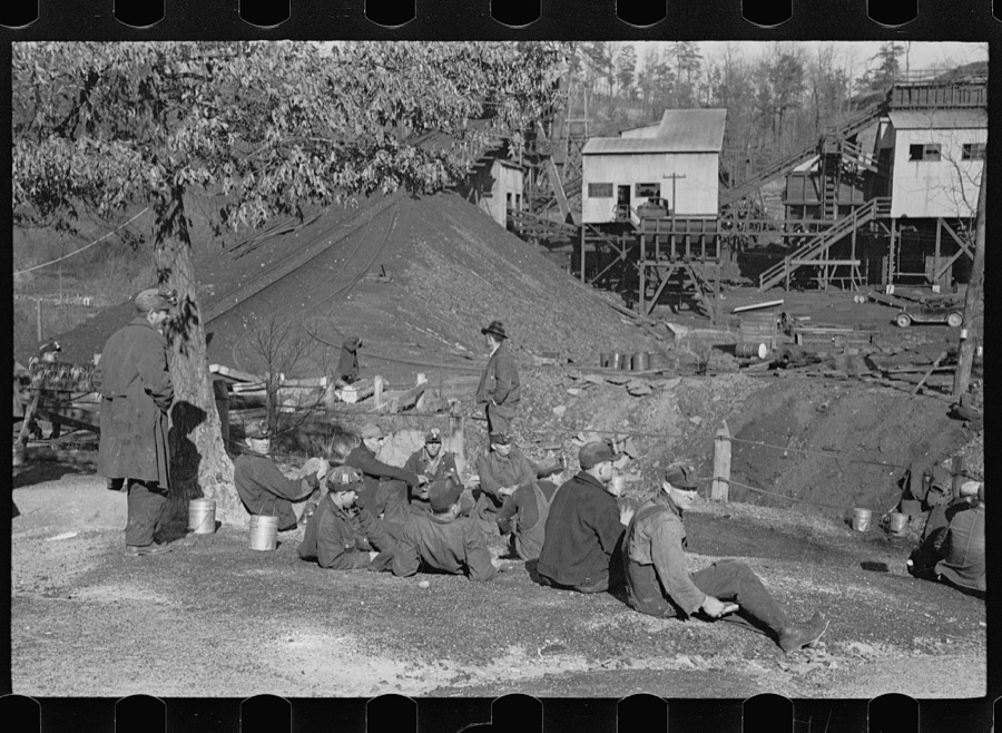
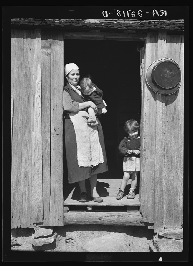
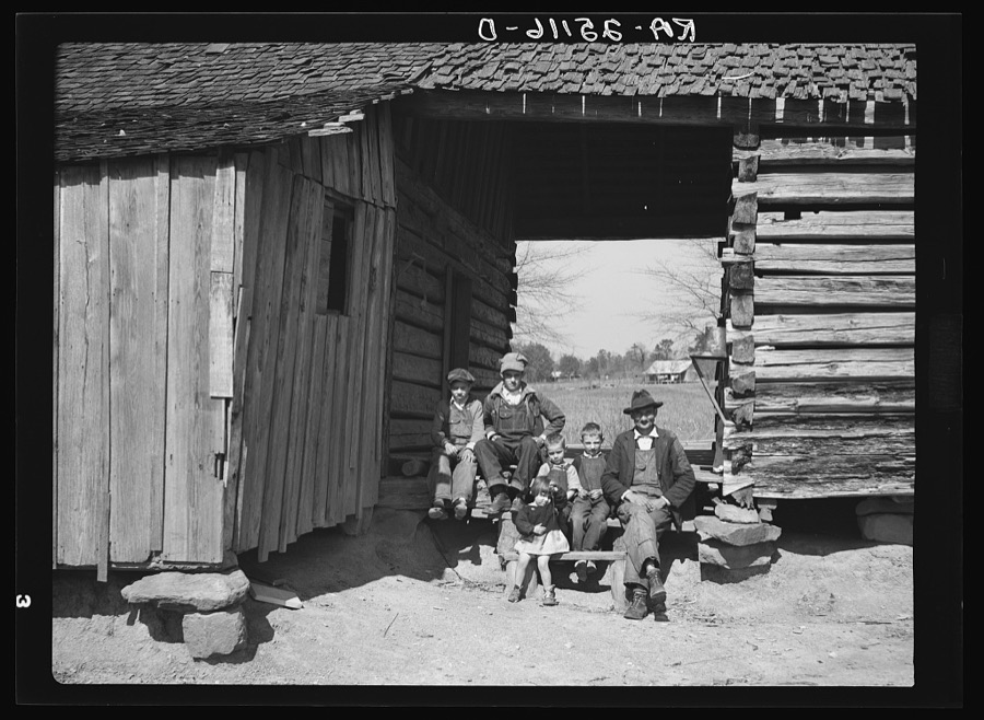

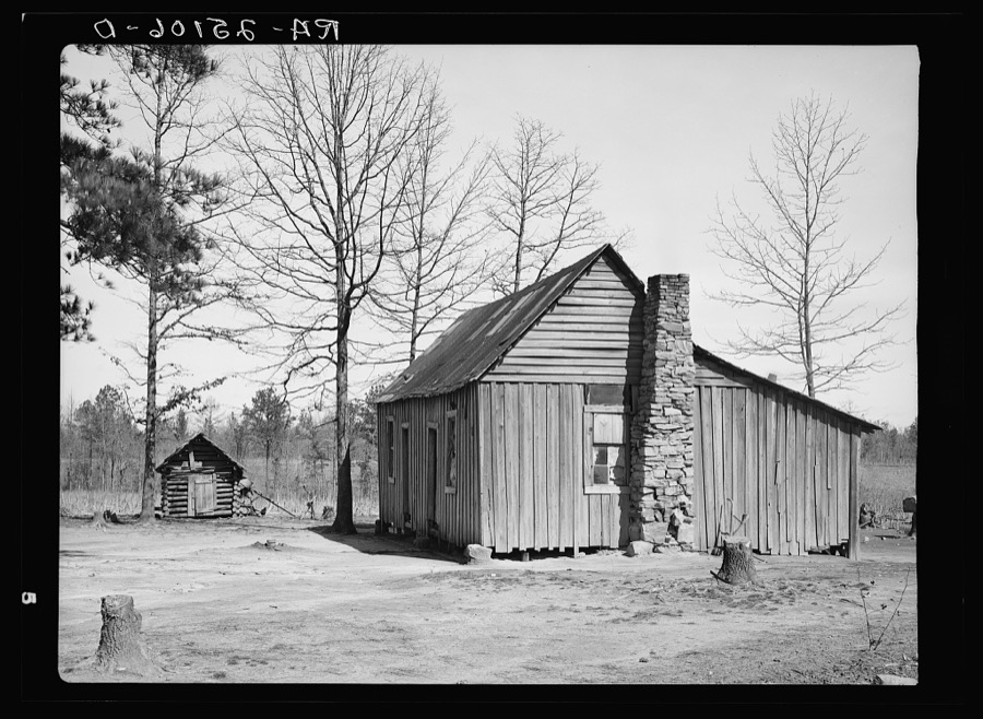
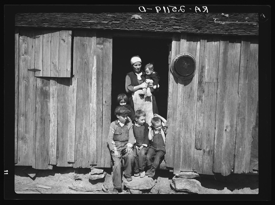
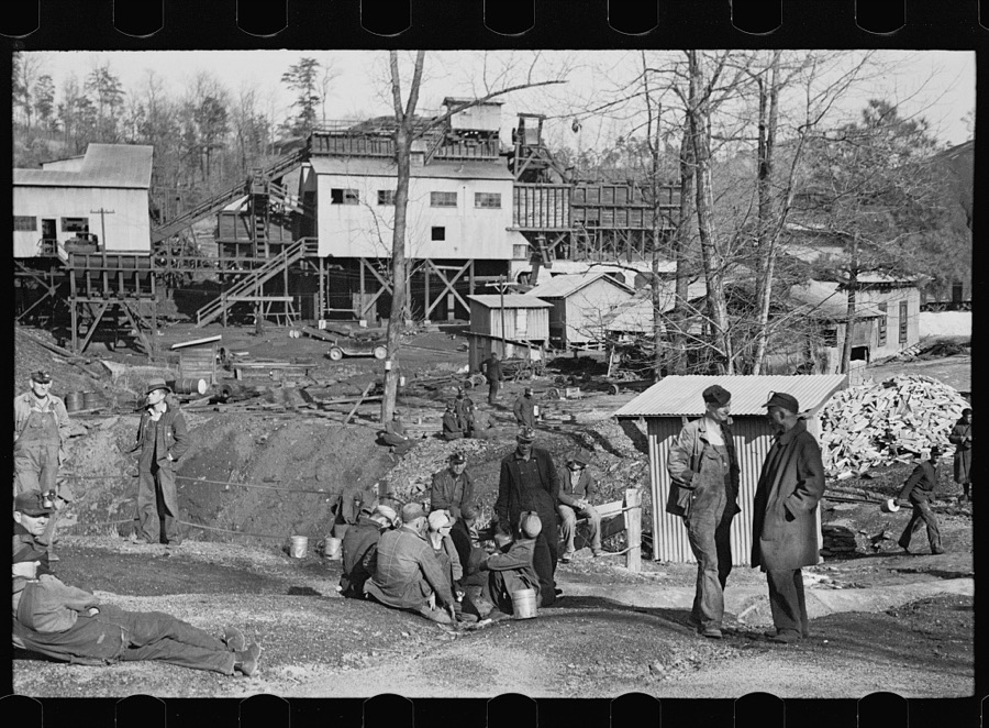
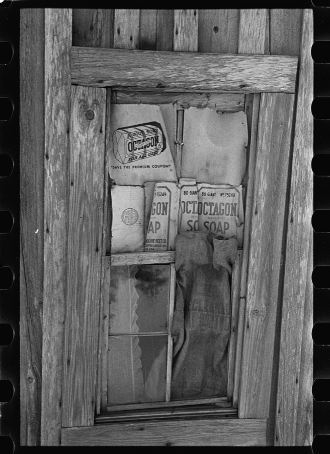
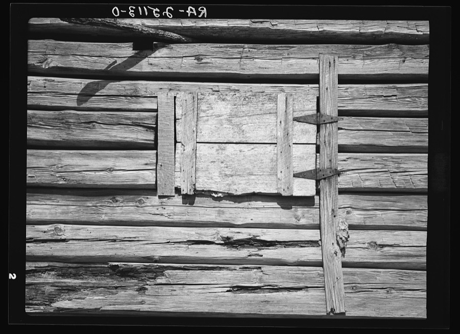
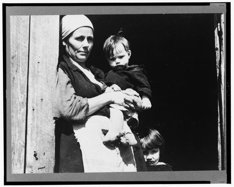
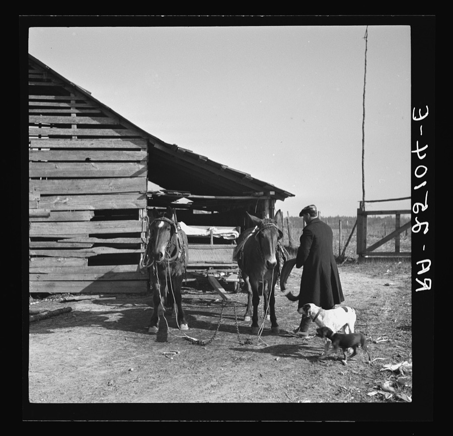
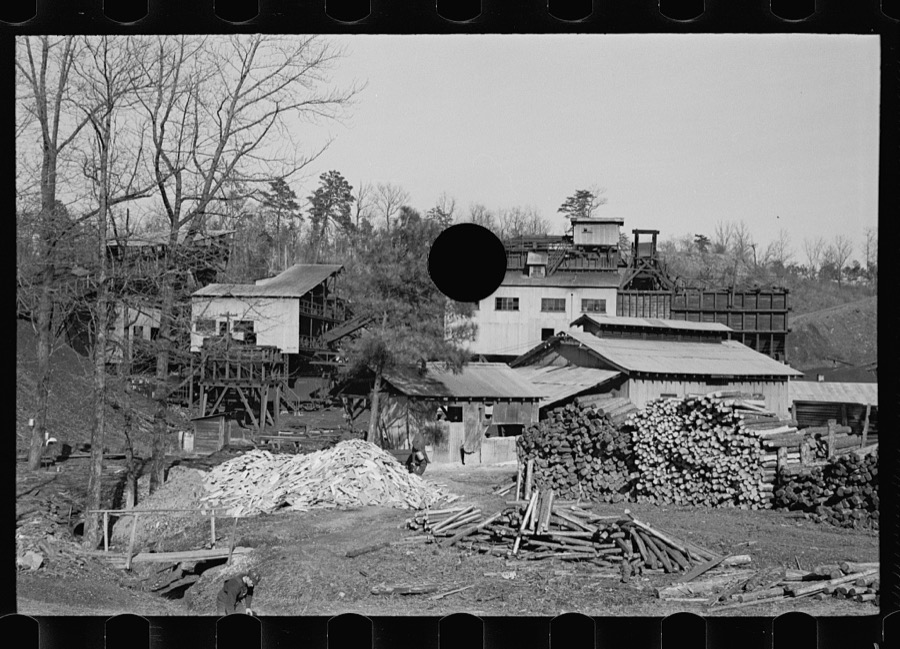
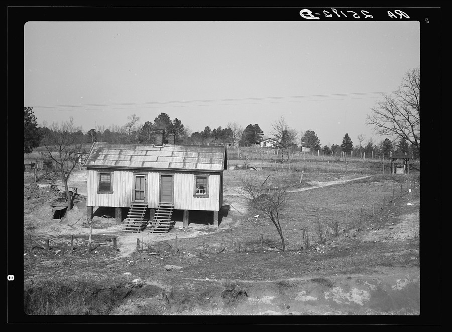
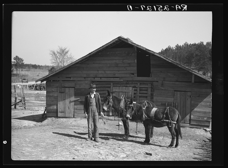
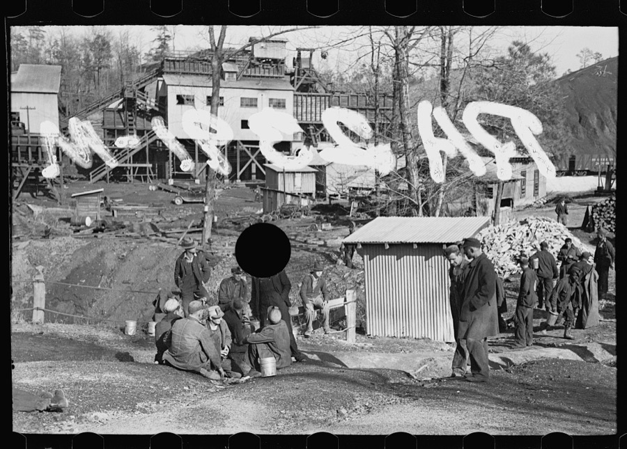
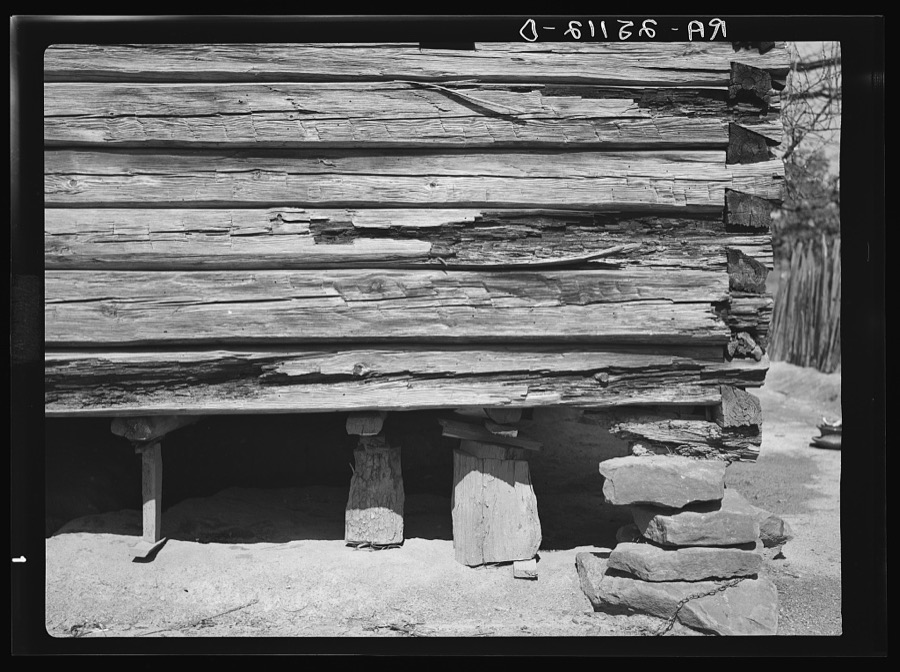
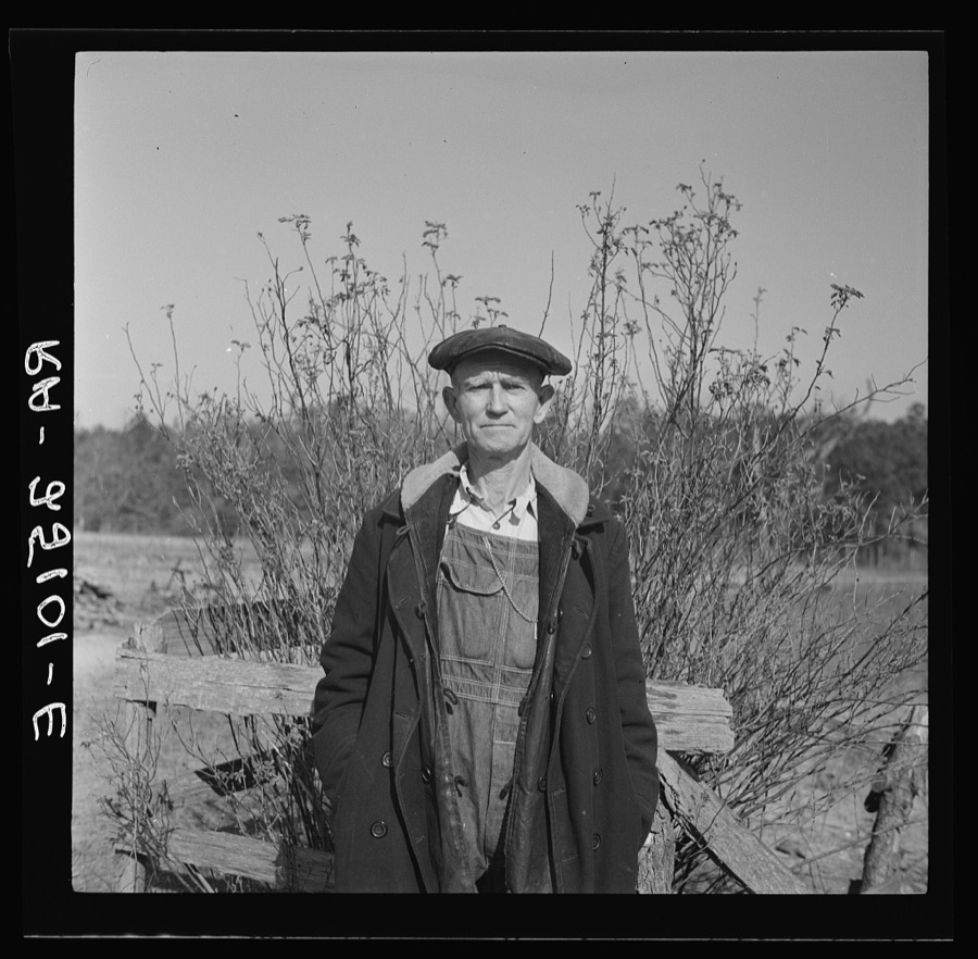
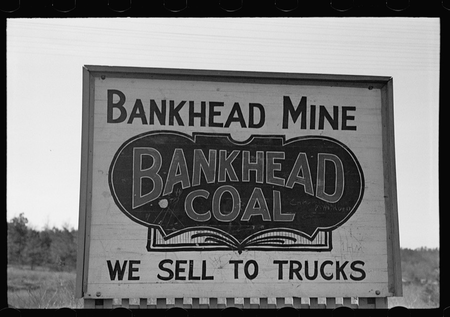
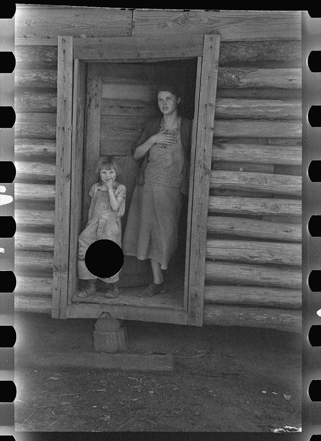
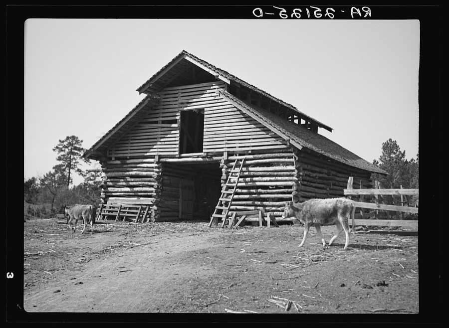
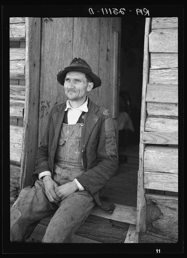
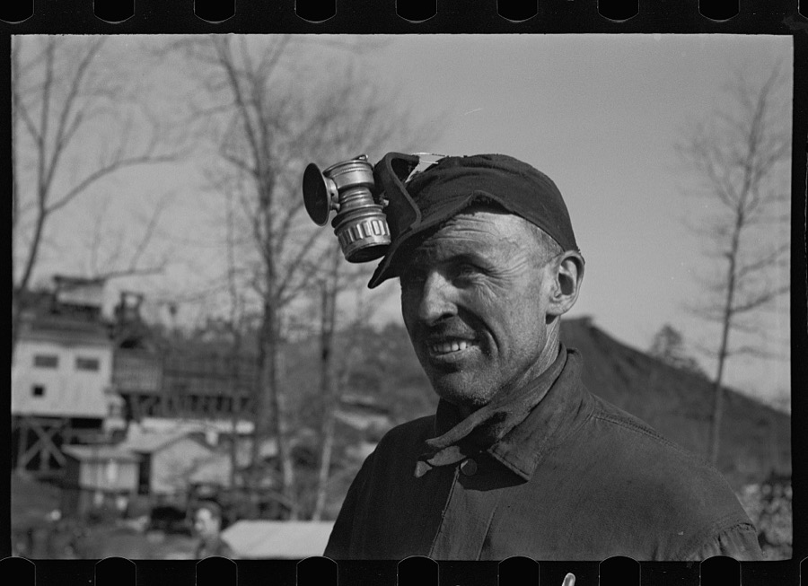
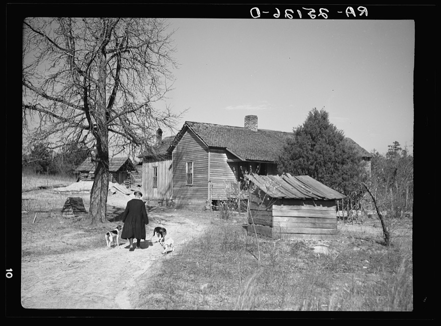
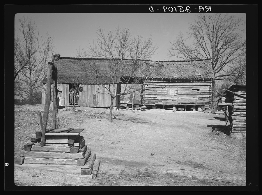
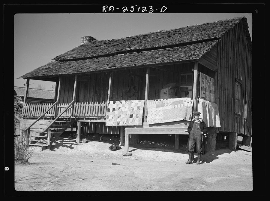
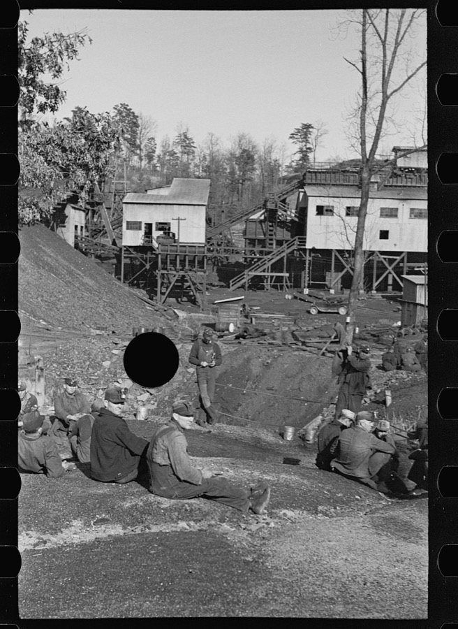
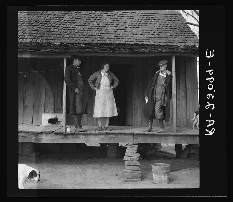
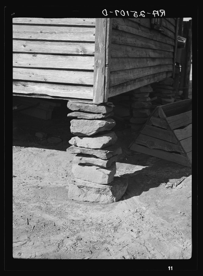
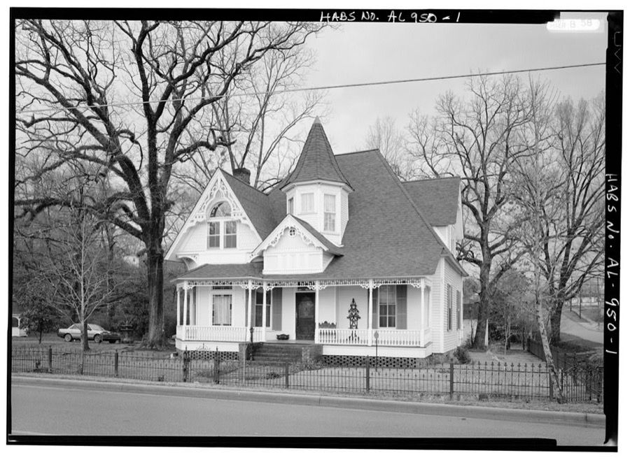
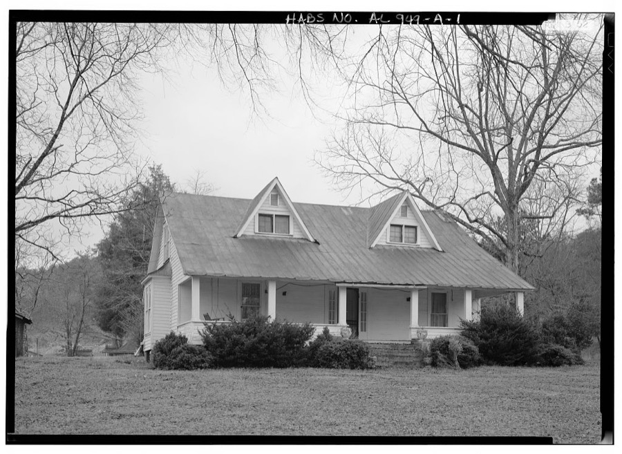
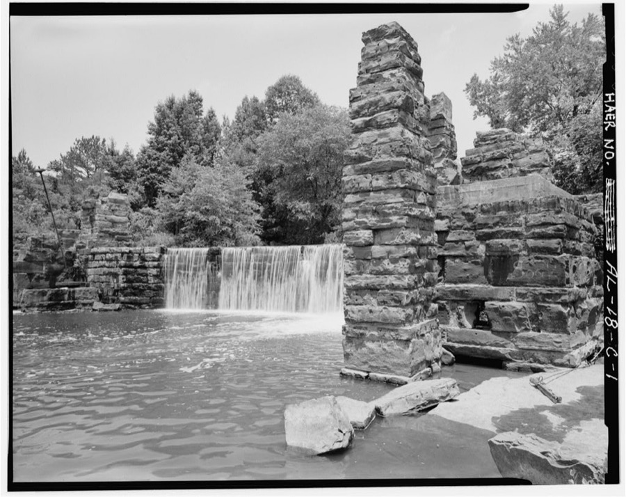
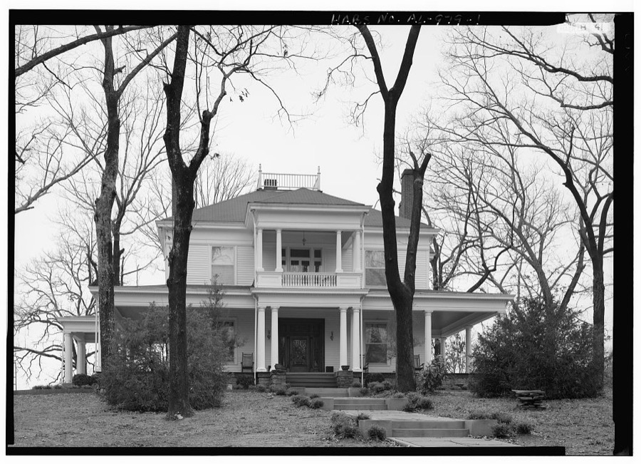
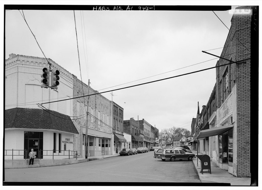
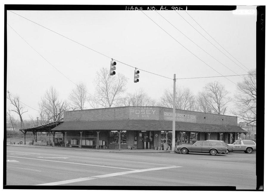
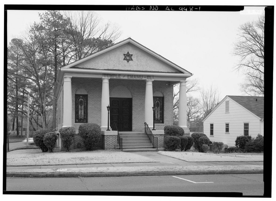
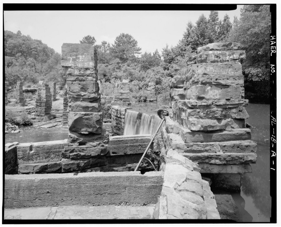
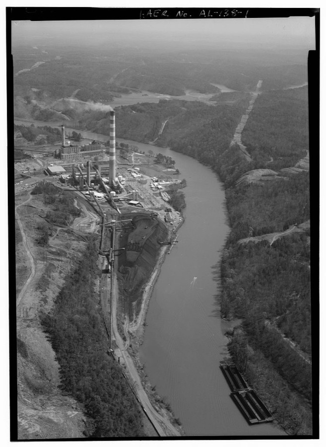
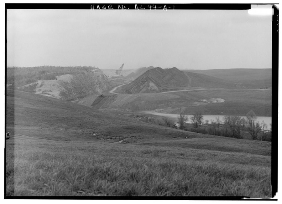
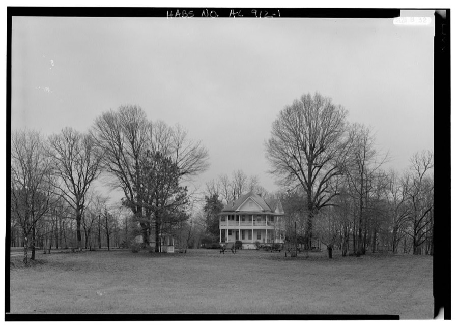
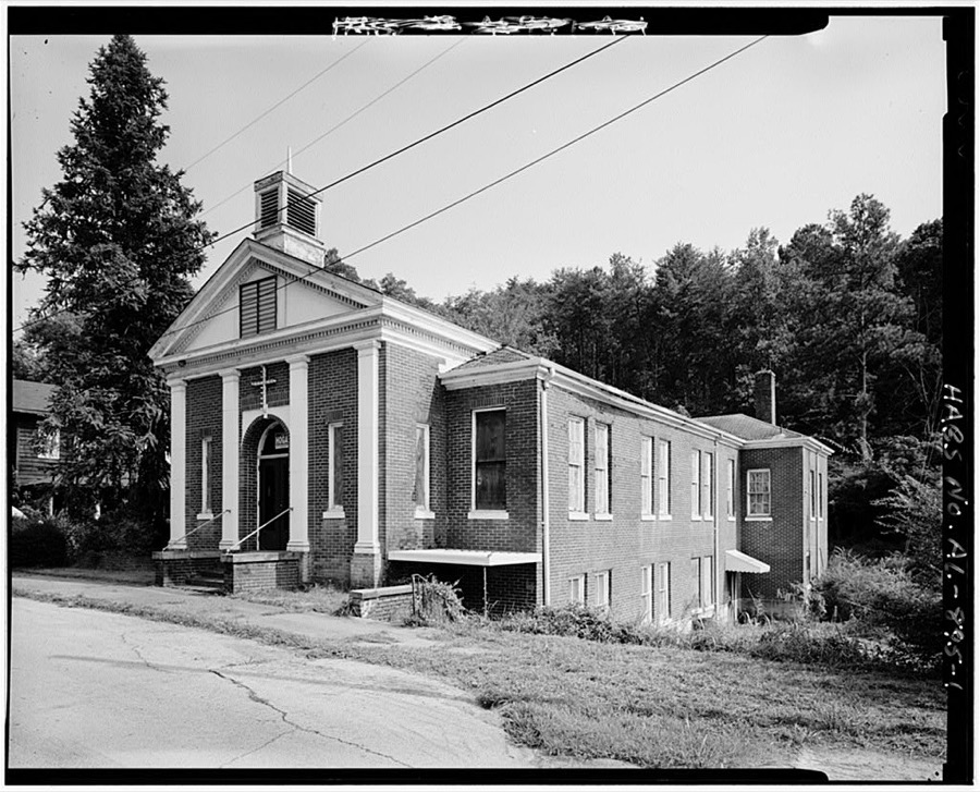
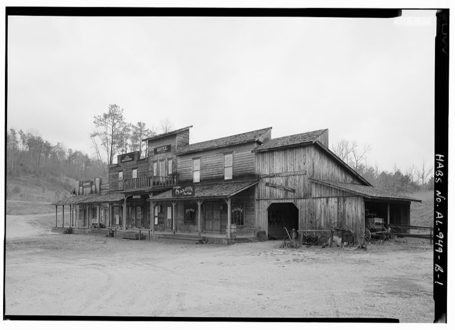
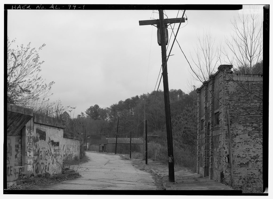
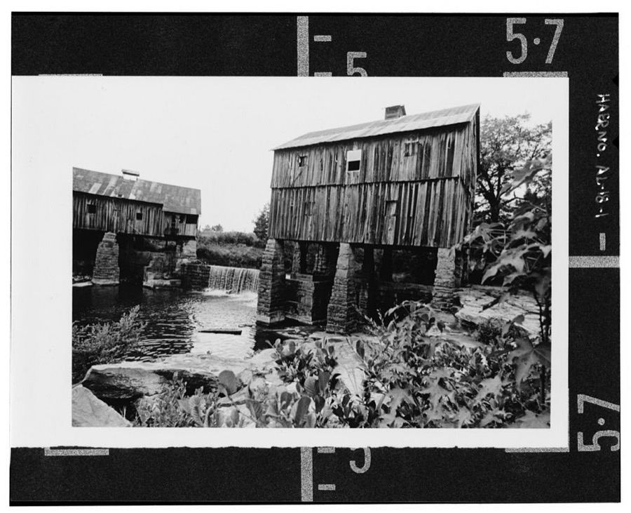
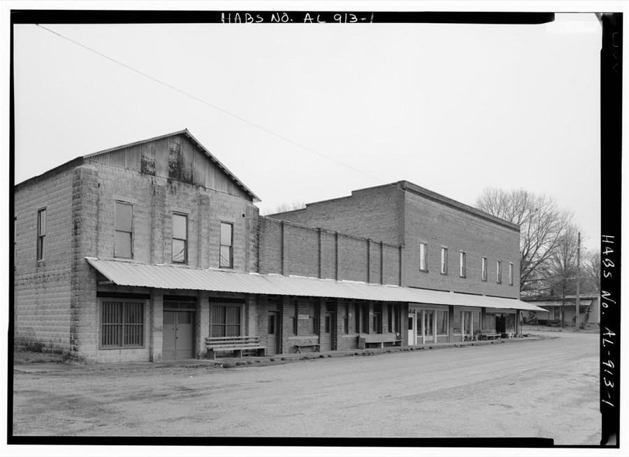
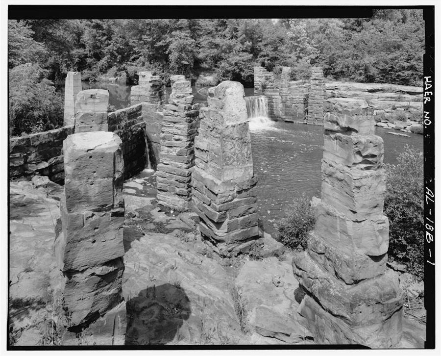
Every property in this county listed on the National Register of Historic Places, with the year it was listed and the federal nomination document.
| Photograph | Property | Type | Listed | Reference |
|---|---|---|---|---|
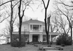 | Bankhead House | building | 1973 | 73000375 |
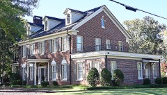 | William Brockman Bankhead House | building | 2022 | 100007850 |
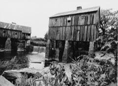 | Boshell's Mill | district | 1975 | 75000329 |
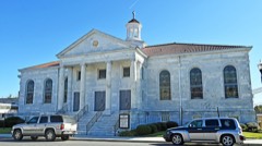 | First United Methodist Church | building | 1985 | 85000257 |
| Gilchrist House | building | 1972 | 72000188 | |
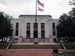 | Jasper Downtown Historic District | district | 2004 | 04000233 |
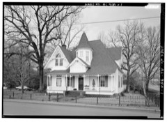 | Stephenson House | building | 1978 | 78000510 |
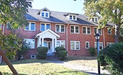 | Walker County Hospital | building | 1985 | 85001160 |
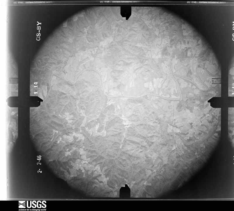
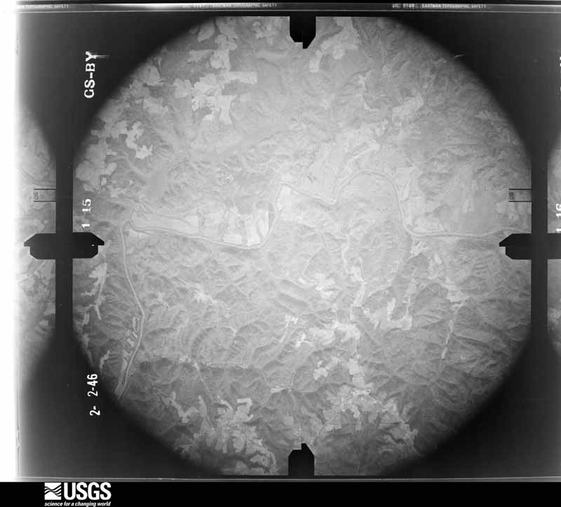
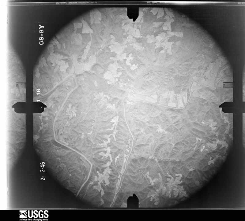
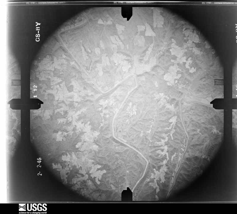
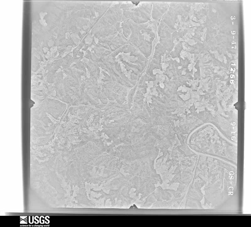
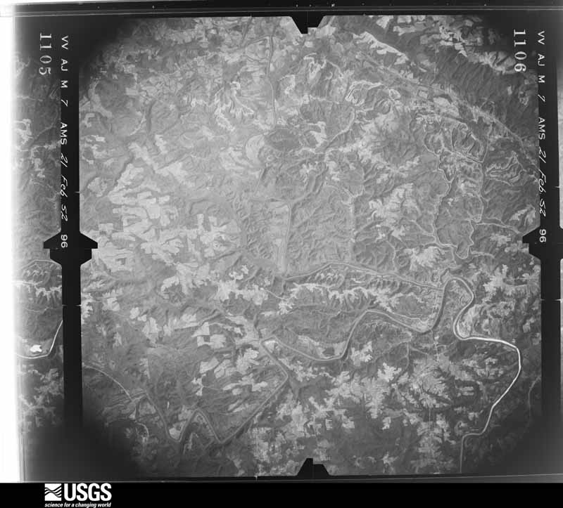
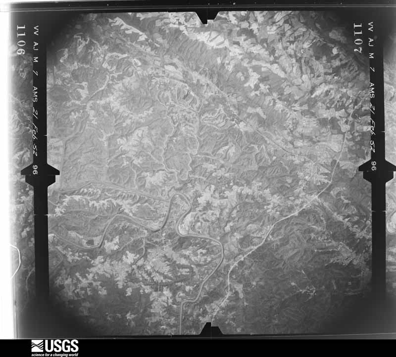
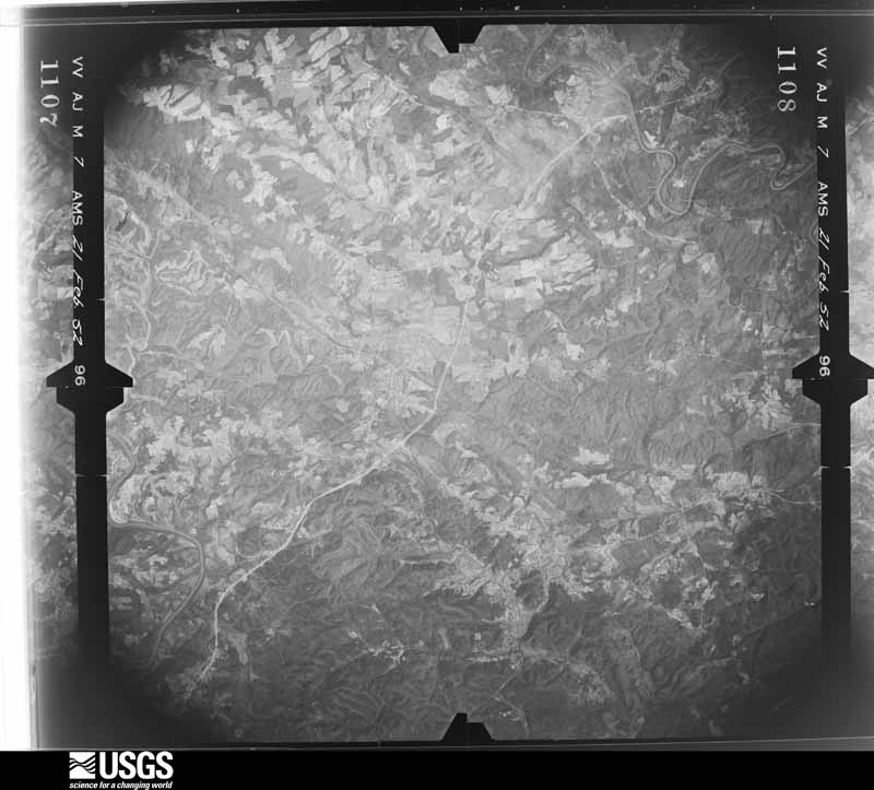
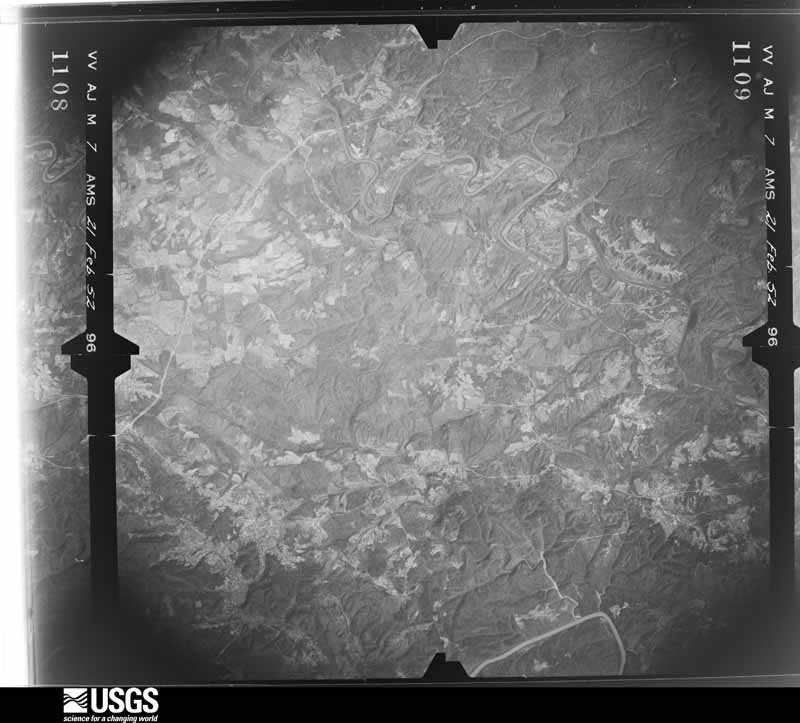
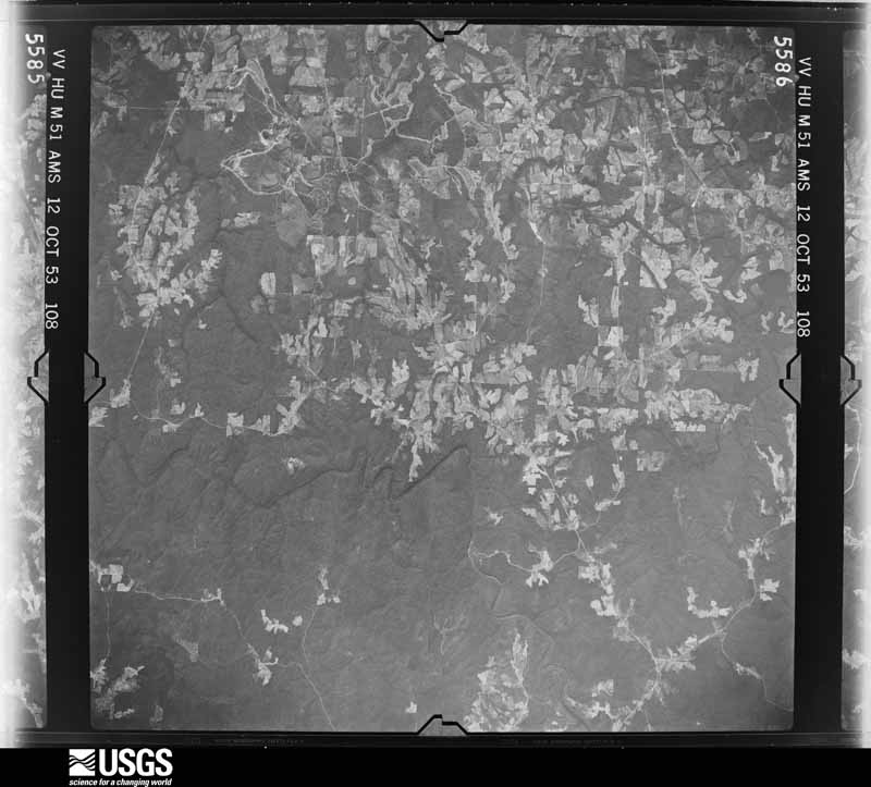
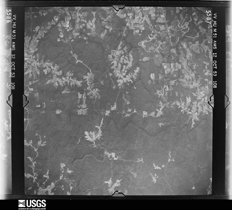
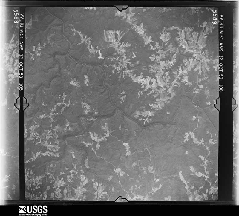
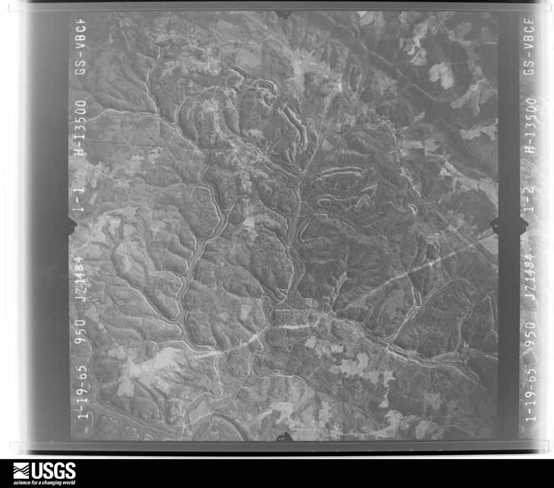
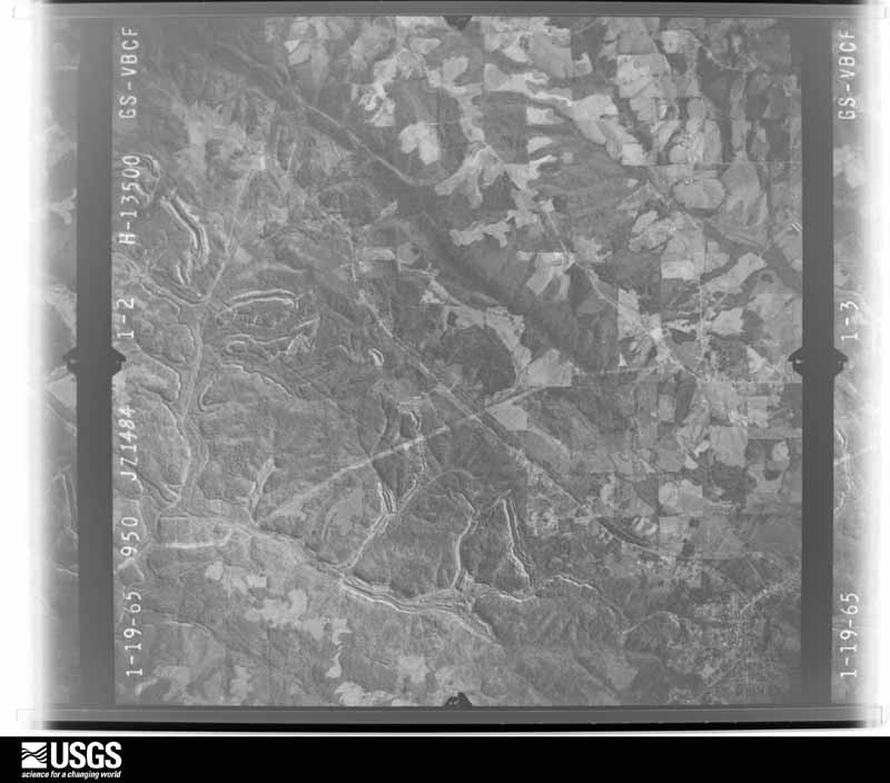
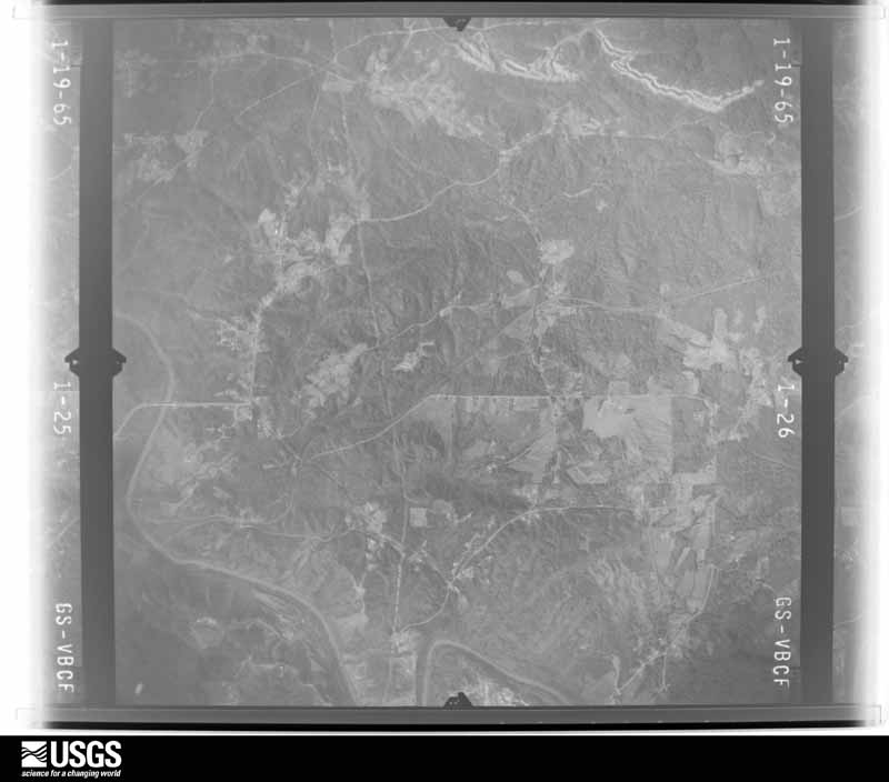
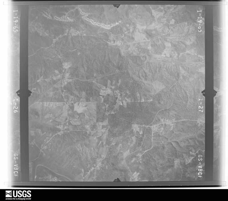
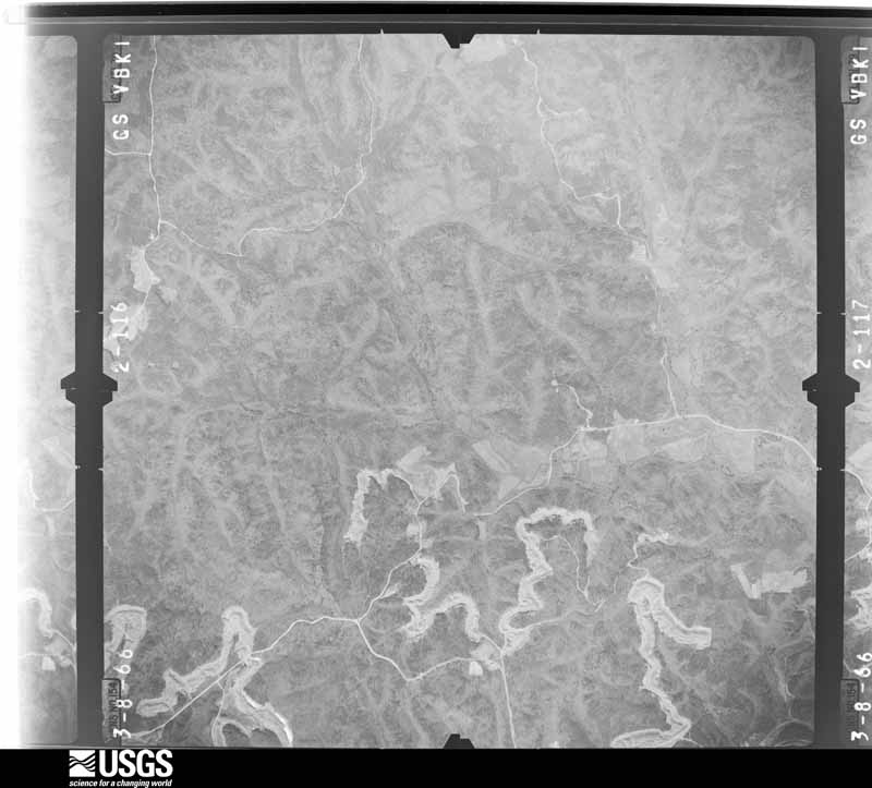
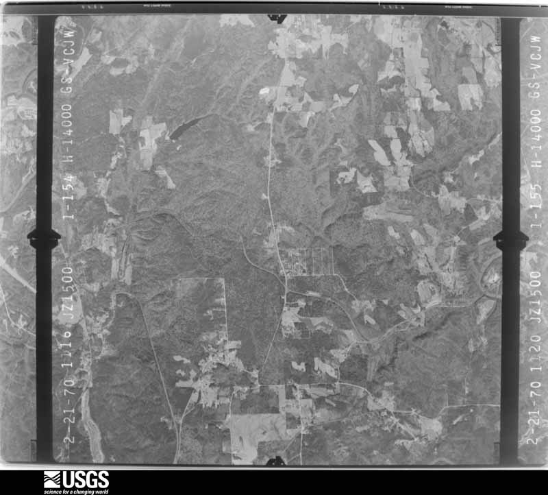
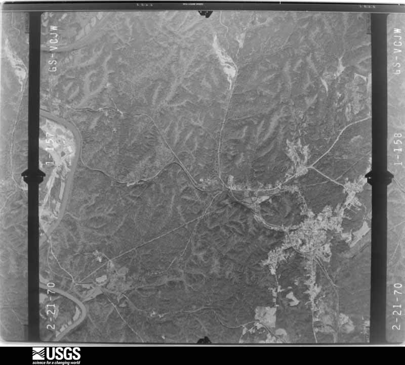
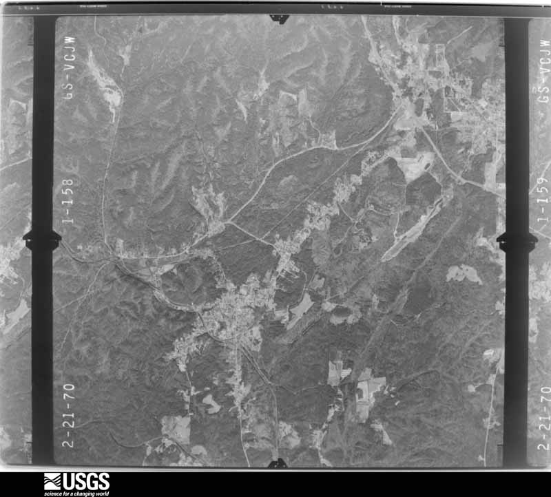
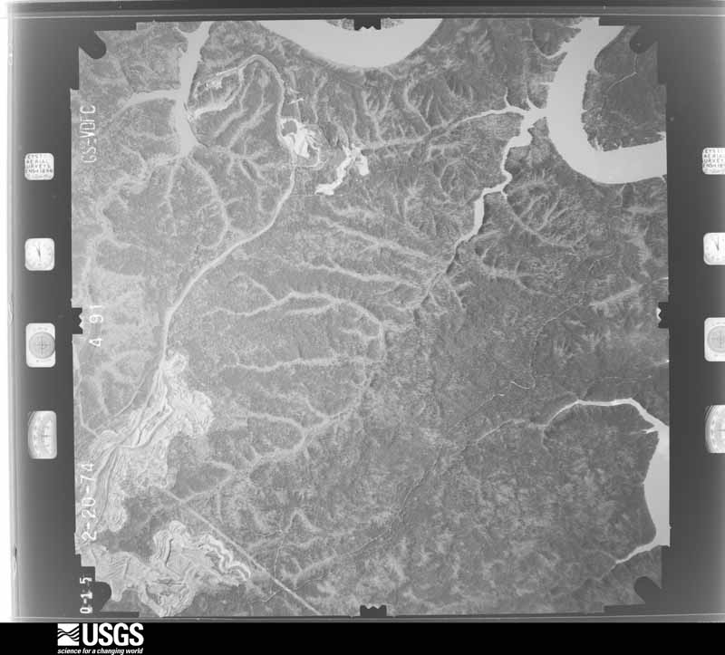
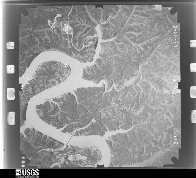
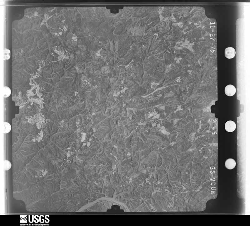
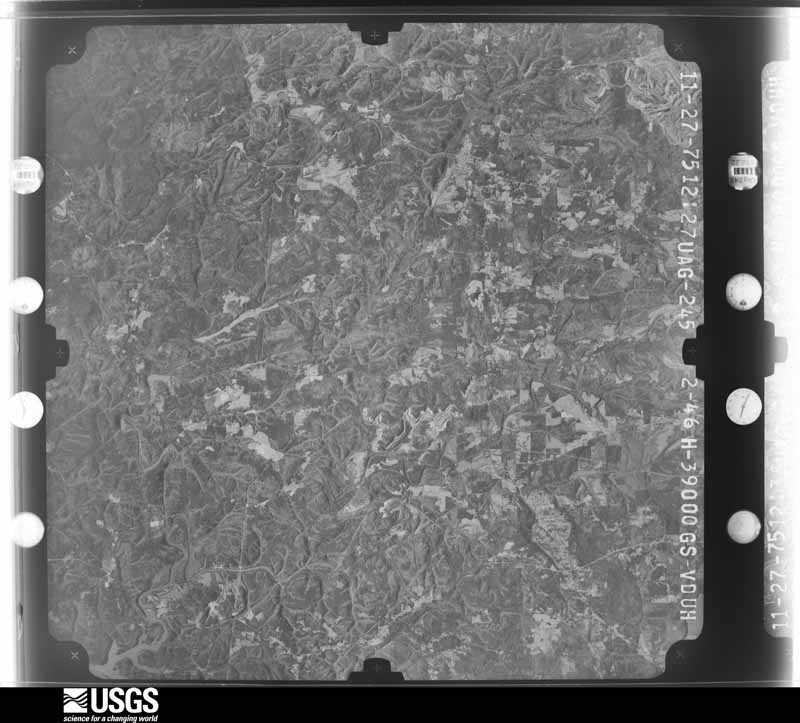
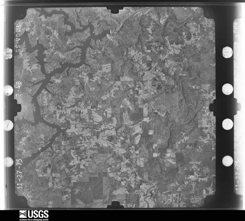
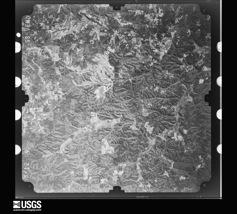
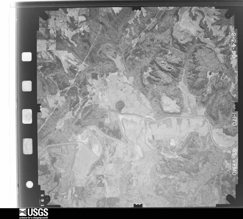
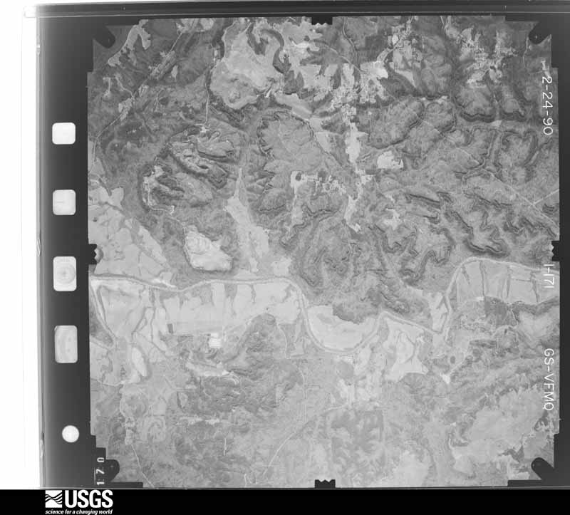
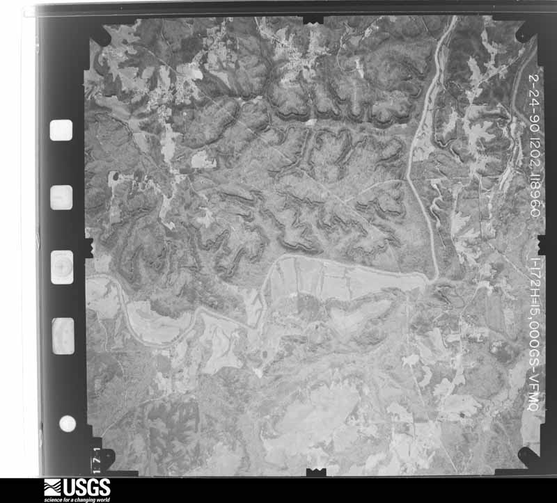
Flown by the U.S. Geological Survey between 1937 and 1989, the Aerial Photo Single Frames collection is the definitive mid-century view of the land: fields, roads and rivers as the camera saw them. The Survey holds 1,128 frames inside the rectangle that bounds this county; the 43 frames below were taken over the county itself, chosen across the decades of flights (at most four a year from that rectangle), so one flight cannot crowd out the rest. The full set is free to browse and download at EarthExplorer under the dataset Aerial Photo Single Frames.



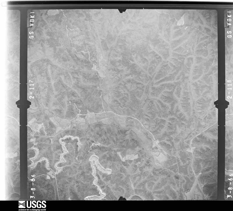
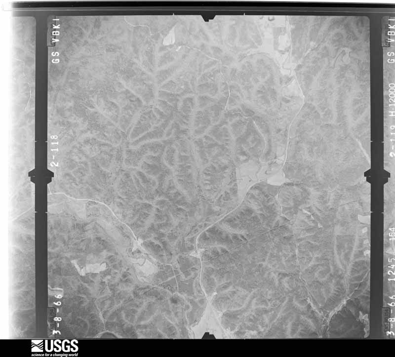
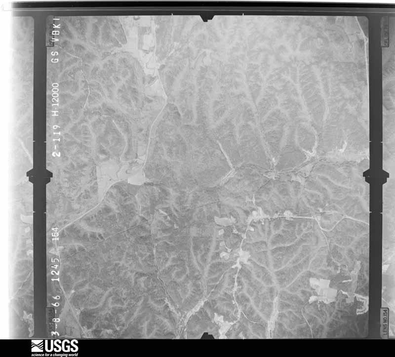
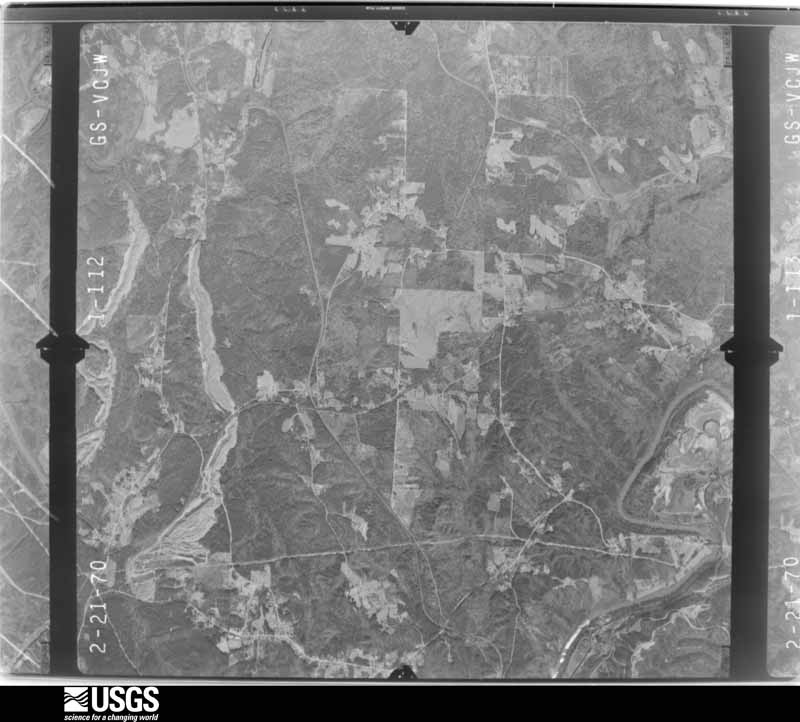
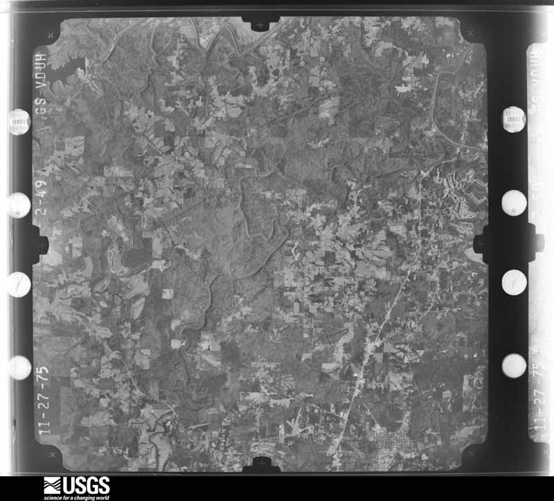
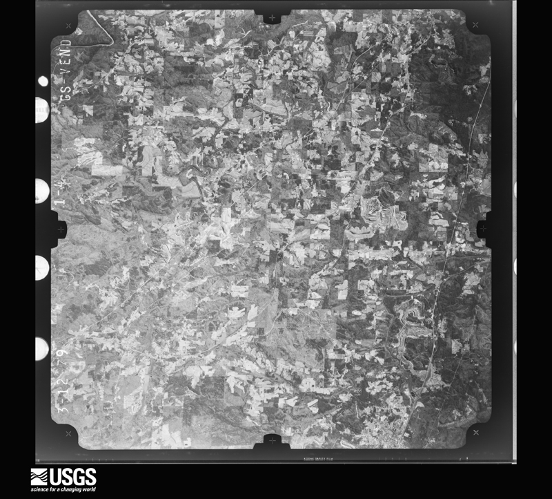
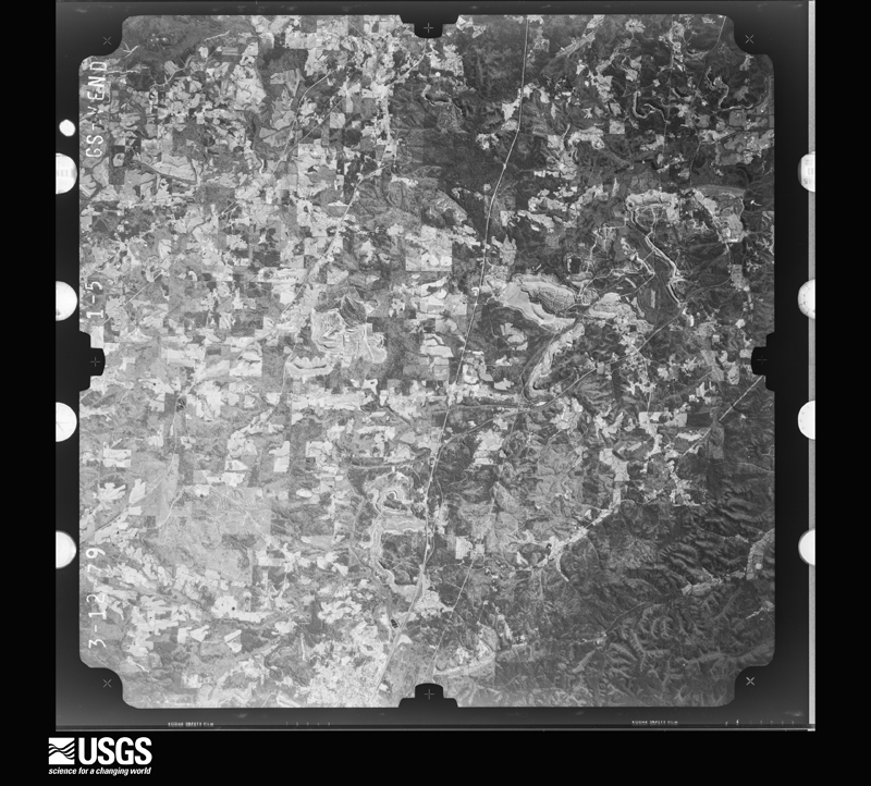
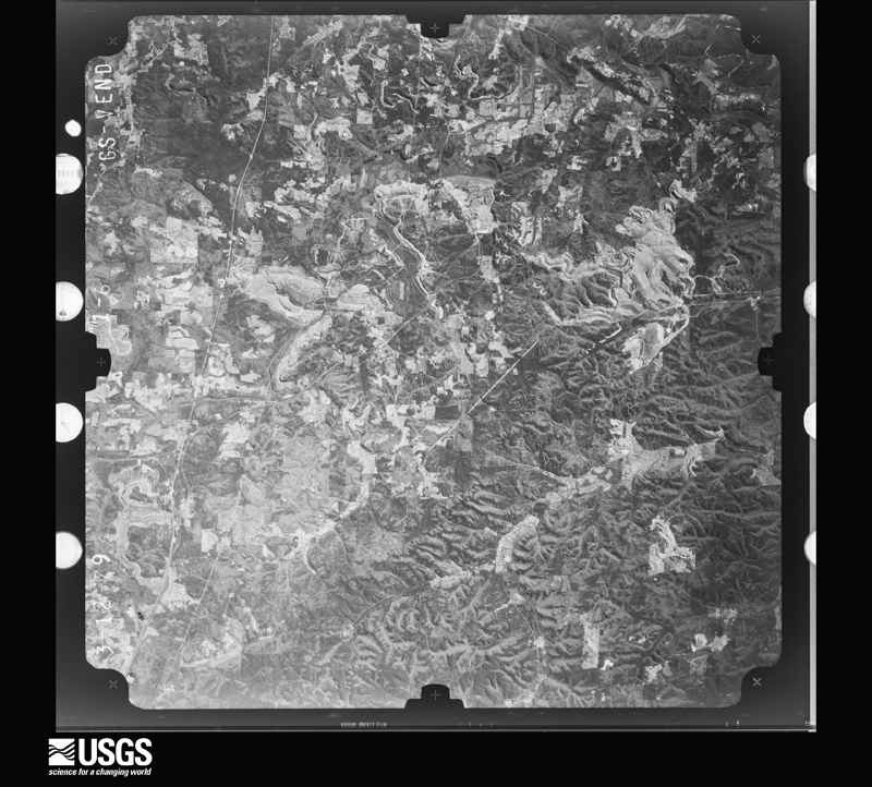
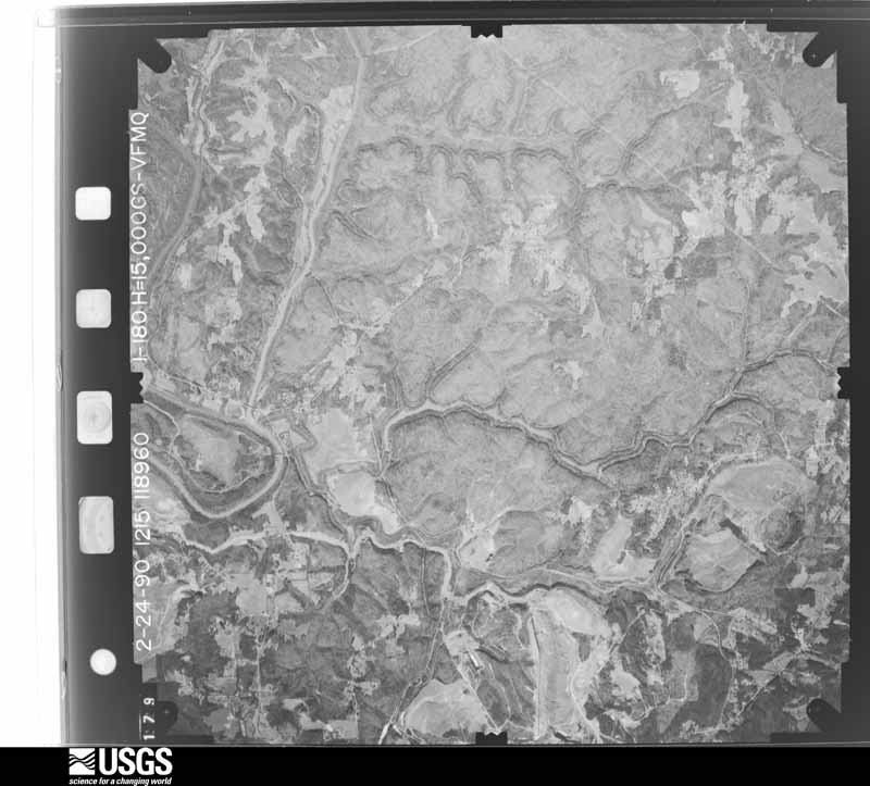
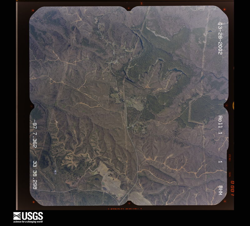
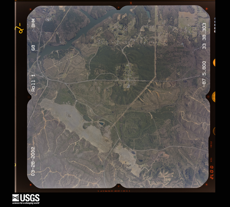
The thermometers that kept this county's weather, and the gages that measured the flow of its streams, as the federal records hold them. The extremes below are measured values from those records, not estimates.
Who lived here in 1950, one enumeration district at a time, as the Census Bureau described each district. Each row opens its official National Archives result, with Population Schedules and ED Maps available there.
Every wildfire the federal occurrence database records inside this county: 2,449 of them, burning about 29,540 acres. 13 started naturally and 1,136 were recorded as arson. Each settlement page carries the fires within five miles of it.
| Reported cause | Fires |
|---|---|
| Arson/incendiarism | 1136 |
| Debris and open burning | 708 |
| Missing data/not specified/undetermined | 344 |
| Recreation and ceremony | 105 |
| Equipment and vehicle use | 46 |
| Railroad operations and maintenance | 22 |
| Other causes | 21 |
| Smoking | 21 |
| Misuse of fire by a minor | 18 |
| Natural | 13 |
| Power generation/transmission/distribution | 12 |
| Fireworks | 3 |
The five largest, by the area the report gives. 6 of them were set deliberately.
| Date | Cause | Size | Reported by | Name on the report |
|---|---|---|---|---|
| 4 November 2016 | Arson/incendiarism | 1,308 acres | Alabama Forestry Commission | 20161104-45 |
| 13 September 1999 | Equipment and vehicle use | 660 acres | Alabama Forestry Commission | not named |
| 23 October 2010 | Debris and open burning | 597 acres | Alabama Forestry Commission | THE 600 FIRE |
| 11 September 1999 | Arson/incendiarism | 505 acres | Alabama Forestry Commission | not named |
| 23 November 2016 | Arson/incendiarism | 419 acres | Alabama Forestry Commission | 20161123-12 |
| 23 October 2010 | Arson/incendiarism | 330 acres | Alabama Forestry Commission | THE OLD BALTIMORE FIRE |
| 5 March 2009 | Arson/incendiarism | 235 acres | Alabama Forestry Commission | MANCHESTER |
| 23 September 2019 | Arson/incendiarism | 223 acres | Alabama Forestry Commission | 20190923-2 |
Every settlement page carries the fires within five miles of it - see the settlement index below.
The NOAA Storm Events Database holds 637 reports for this county, causing 28 deaths, 292 injuries and about $176,126,000 in recorded property damage. Each settlement page carries the reports that name it.
| Kind of event | Reports |
|---|---|
| Thunderstorm Wind | 347 |
| Hail | 181 |
| Tornado | 59 |
| Flash Flood | 33 |
| Lightning | 6 |
| Funnel Cloud | 6 |
| Flood | 3 |
| Heavy Rain | 2 |
The most serious of them, by death, then injury, then recorded damage. The accounts are quoted exactly as the forecast office filed them.
| When | Event | Place named | Harm | What the report says |
|---|---|---|---|---|
| April 2011 | Tornado (EF4) | Marietta | 9 killed, 40 hurt, $115,000,000 | The sixth segment of this long track tornado entered southwest Walker County south of Blue Water Rd and moved northeast, where it eventually exited the northeast portion of the county east of Phillipstown Rd. This tornado began in Pickens County, 5 miles northeast of Pickensville, and tracked through Tuscaloosa, Fayette, Walker, Cullman (See Storm Data for Huntsville), and Blount Counties, before it dissipated in Marshall (See Storm Data for Huntsville) County. While the average path width of this tornado in Walker County was around 0.3 miles (528 yds), the tornado widened as it approached the city of Cordova to a path width maximum of 0.6 mile (1056 yds). Shortly after it entered the county, the tornado knocked down a cell phone tower, caused minor roof damage to a mobile home and single family home, and completely destroyed a mobile home as it approached AL Hwy 69. As the storm continued northeast crossing Earnest Chapel Rd southeast of Oakman, several vehicles were rolled and a home was destroyed. This resulted in 1 fatality and 2 injuries. The tornado continued east northeast where it crossed CR 35 and AL Hwy 269 south of Parrish. The tornado weakened to an EF0 as it approached Corridor X/future Interstate 22, with only minor tree damage noted, before it strengthened significantly as it neared Cordova. A 0.6 mile wide swath of EF3 damage, with winds of 140 mph, was noted in downtown Cordova. Numerous homes and buildings sustained significant damage, if not complete destruction, resulting in 4 fatalities. The tornado continued northeastward across Burton Chapel Loop Road and crossed the Mulberry Fork of the Black Warrior River. As it crossed Mountain View Road, the tornado increased to a violent EF4 rating, with winds of 170 mph, and destroyed 2 mobile homes, as well as a single family home. One of the mobile home undercarriages was missing, having been tossed at least 500 yards. At this site, a small bulldozer was flipped over, a pickup truck was tossed 200 yards, and an International 4700 dump truck was tossed 50 yards and was destroyed upon landing. A 2 ton utility trailer from this location was found a mile away, with a 2.5 ft impact crater where it landed. As the tornado neared Old Hwy 78, it tossed two double wide mobile homes at least 100 yards, resulting in their complete destruction. Two fatalities occurred here. The tornado continued toward Sipsey, where an unanchored double wide mobile home was tossed 100 feet up a 50 foot embankment. Two fatalities occurred in this area. The tornado continued at a minimum of EF2 strength to the northeast where it destroyed several homes and tossed a double wide mobile home 100 ft, south of Campbellville. Along this path, significant tree damage was noted, as well as damage to or the complete destruction of numerous other single family homes and manufactured homes.||This was the second tornado to hit downtown Cordova on this day. At 418AM-436AM CST, a tornado with winds of 120 mph moved through the same area causing significant structural damage. |
| November 2002 | Tornado (F3) | Townley | 7 killed, 40 hurt, $2,500,000 | no account filed |
| November 1957 | Tornado (F4) | not stated | 4 killed, 15 hurt, $25,000 | no account filed |
| November 2002 | Tornado (F3) | Carbon Hill | 3 killed, 20 hurt, $2,500,000 | no account filed |
| March 1967 | Tornado (F4) | not stated | 2 killed, 25 hurt, $250,000 | no account filed |
| August 1985 | Tornado (F2) | not stated | 1 killed, 1 hurt, $2,500,000 | no account filed |
| October 2014 | Thunderstorm Wind | Burnwell | 1 killed, 1 hurt | Elderly woman killed when a tree fell on a mobile home located on Creel Street in the town of Dora. |
| November 1983 | Thunderstorm Wind | not stated | 1 killed | no account filed |
| April 1974 | Tornado (F4) | not stated | 102 hurt, $25,000,000 | no account filed |
| April 2011 | Tornado (EF3) | Drifton | 20 hurt, $13,400,000 | A tornado developed along a Quasi-Linear Convective System and touched down in rural southwestern Walker County, near the Fairview community. The tornado moved north northeast through Cordova before lifting near Lynns Park. The tornado touched down southwest of CR 6 and rapidly intensified to an EF3 rating with winds of 140 mph. Along Horseshoe Bend, a home was completely leveled, where it swept the foundation clean of the structure and debris. The tornado continued north northeast through the Richardson subdivision and across Pleasantville Road. It destroyed at least two single-wide manufactured homes. The tornado crossed US Hwy 269 where it weakened to an EF2 with winds of 120 mph and moved through the Aldridge community, where several homes were damaged, large trees were uprooted, and another single-wide manufactured home was tossed and obliterated. In Cordova, the tornado caused significant roof and parapet damage to brick buildings in the downtown area. The tornado crossed Old US Hwy 78 just east of the Mulberry Fork, where it snapped and uprooted trees and caused minor structural damage. The tornado continued northeast and dissipated south of County Road 22, less than a mile north of Old US Hwy 78. A second tornado, with winds of 140 mph, tracked through Cordova during the afternoon of the same day (between 1535 and 1605 CST) and caused more significant structural damage. |
| August 1985 | Tornado (F2) | not stated | 5 hurt, $2,500,000 | no account filed |
| February 2008 | Tornado (EF2) | Carona | 4 hurt, $200,000 | The tornado that first touched down in Fayette County, and also moved through a small portion of Tuscaloosa County, moved into southeastern Walker County just southwest of the Corona Community. From there, the tornado traveled northeast for about 6.5 miles, and finally lifted northwest of the town of Oakman. The greatest amount of damage along the entire path of this tornado was experienced on Patton Hill Road, just west of Oakman. Several homes sustained significant damage near Corona, and several mobile homes were damaged or destroyed west of Oakman. There were also 4 minor injuries reported in Walker County. Along the entire path, at least 8 structures were destroyed, most of them mobile homes, and 15 other structures sustained varying degrees of damage. |
| April 2020 | Tornado (EF1) | Carbon Hill | 3 hurt | National Weather Service meteorologists surveyed damage in Walker County, near Carbon Hill, and determined that it was consistent with an EF1 tornado, with maximum winds near 110 mph.||A short-lived but intense tornado touched down near Nubbin Ridge Road in far northwestern Walker County. At this location, several trees were snapped and uprooted. As the tornado tracked into the town of Carbon Hill, dozens of trees were uprooted or snapped off throughout the town. Various residential and professional buildings sustained structural damage, including sections of roofing blown off of a site-built home as estimated winds peaked at 110 mph. The area of greatest structural damage occurred along Nauvoo Lane where at least 5 manufactured homes and outbuildings were either rolled and completely destroyed, shifted from block piers, or suffered substantial loss of roof and walls. The tornado continued towards Nauvoo Court and snapped off a few large branches before ending just south of Interstate 22. |
| July 2007 | Thunderstorm Wind | Cordova | 2 hurt, $50,000 | A diseased tree was blown over and onto a house. Two people inside were injured, and were treated and released from a nearby hospital. One person suffered a broken arm and collarbone, while the other sustained minor injuries. Time of occurrence was estimated. |
| July 2003 | Thunderstorm Wind | Jasper | 2 hurt, $40,000 | A few trees were blown down along SR 118 between Jasper and Sumiton. One of the trees landed on a vehicle driving on the highway. Luckily, the man and woman in the vehicle suffered only minor injuries, however, the vehicle was demolished. |
| December 1985 | Thunderstorm Wind | not stated | 2 hurt | no account filed |
| December 1978 | Tornado (F1) | not stated | 1 hurt, $250,000 | no account filed |
| March 1961 | Tornado (F3) | not stated | 1 hurt, $250,000 | no account filed |
| March 2006 | Thunderstorm Wind | Eldridge | 1 hurt, $50,000 | Several trees and power lines were blown down from near Eldridge northward to the Winston County line. At least one home and one vehicle in Eldridge suffered damage due to trees falling on them. One person was injured north of Eldridge when a tree fell onto a vehicle. Wind gusts were estimated between 60 and 70 mph. |
| April 2005 | Thunderstorm Wind | Sipsey | 1 hurt, $35,000 | Several trees and power lines were blown down in and around Sipsey. A few homes were damaged by fallen trees. One woman suffered minor injuries when a tree fell on her home. |
| March 1967 | Tornado (F1) | not stated | 1 hurt, $25,000 | no account filed |
| February 1953 | Tornado (F2) | not stated | 1 hurt, $25,000 | no account filed |
| August 2023 | Lightning | Marigold | 1 hurt | Female struck by lightning. Extent of injuries unknown. |
| July 2015 | Thunderstorm Wind | Gamble | 1 hurt | Tree fell on mobile home on Castle Village Circle. |
| October 2014 | Lightning | Marigold | 1 hurt | One person transported to local hospital after being struck by lightning. Injuries unknown. |
| September 2011 | Heavy Rain | Jasper Walker Co Arp | 1 hurt | Persistent heavy rainfall from the remnants of Tropical Storm Lee caused a leaky roof at an apartment complex to collapse, resulting in one injury. Eight families were evacuated. |
| November 1992 | Tornado (F1) | not stated | $2,500,000 | no account filed |
| May 2009 | Tornado (EF0) | Jasper | $850,000 | The tornado touched down near the eastern city limits of Jasper, tracked eastward across Highway 78, and lifted near Golf Course Road. Five structures were damaged. A bank drive through structure was detached from the main building and rotated 90 degrees. Two car dealerships sustained damage. Forty cars were totaled, mostly due to broken windows resulting in water damage. Three air handlers atop the dealerships were rolled. Numerous trees were uprooted. A billboard was also impaled by a fiberglass missile. |
| August 2013 | Lightning | Jasper | $775,000 | Lightning struck the First Church of the Nazarene, causing a fire that destroyed the building. Fire personnel on the scene estimated damages to be greater than $775K. |
| March 2011 | Hail | Jasper | $750,000 | The first of two significant hail storms, with hailstones up to 1.50 inches wide, crossed the city of Jasper around 8:00pm CST, causing extensive damage to vehicles and homes. Hundreds of cars in the city were damaged. Many car dealerships had damage to every car on the lot. Hundreds of homes sustained roof damage. Property damage amounts are estimated. |
| March 2011 | Hail | Jasper Walker Co Arp | $750,000 | The second of two hail storms moved across Jasper at 9:20pm CST, producing hail stones up to 2.00 inches wide and causing extensive damage to vehicles and homes. Hundreds of cars in the city were damaged. Many car dealerships had damage to every car on the lot. Hundreds of homes sustained roof damage. Property damage amounts are estimated. |
| April 2010 | Tornado (EF3) | Bradleytown | $598,000 | This long tracked, strong, tornado first touched down in the Walker County city of Parrish. It then remained on the ground for 54 minutes, traversing nearly 30 miles in three counties. The vast majority of the damage was done in Walker County. In addition to Parrish, heavy damaged occurred in the cities of Cordova, Sumiton, and Empire. Between 70 and 80 homes and other buildings along the path received varying degrees of damage, and at least one home in Parrish was completely destroyed. Somewhere between 800 and 1000 trees were snapped, with a similar number uprooted. While there were no known deaths or injuries directly caused by the tornado, one 50 year old woman died (indirect) after she slipped and fell while going to a storm shelter. The tornado moved into Jefferson County near the intersection of Bankston Road and County Line Road. |
| November 2002 | Tornado (F1) | Dora | $400,000 | The Dora Tornado, the seventh tornado of the evening, began at 9:38 pm, when the tornado touched down on the banks of the Mulberry Fork of the Black Warrior River southwest of Dora. The initial touchdown was in an area of open fields and woods and the first structural damage occurred as the tornado reached the southwest side of Dora. Trees were downed with a good deal of roof damage to homes as the tornado traveled through the middle of Dora. Traveling northeast the tornado damaged a number of structures in Dora, before ending fairly abruptly on the northeast side of town at 9:47 pm.The total path length was 4.3 miles, with a width of 300 yards. No deaths were reported, and any injuries were minor. This tornado was rated an F1.Beg: 33 42.221/87 08.654 End: 33 44.096/87 04.761 |
| May 2003 | Flash Flood | Countywide | $300,000 | Torrential rain fell in a short period of time across Walker County. Several roads were flooded and temporarily impassable. At least one bridge was washed away. A 200-foot section of Segco Road in Parrish collapsed and washed away. Several homes and businesses in and around Jasper were damaged by high water. |
| May 2009 | Tornado (EF1) | Cordova | $260,000 | The tornado touched down on the west side of Cordova along South Street. It then moved east-northeastward through the city of Cordova, and lifted shortly after it crossed near the intersection of Disney Street and Mass Avenue, near Cane Creek. Numerous trees were snapped off or were uprooted along the path. At least 15 homes were damaged by the fallen trees. One of the trees fell on a train and damaged some of the cars but the train did not derail. |
| April 1995 | Tornado (F1) | Sumiton | $250,000 | Several large oak trees were blown down in downtown Jasper. Several streets were flooded due to heavy rain. Small hail was also reported in Jasper, 10 miles north of Jasper, and Sumiton. Alabama Power reported 12,000 customers without power in Carbon Hill, Jasper, Dora, Sumiton, and Parrish. A small tornado touched down in Sumiton causing substantial property damage to a number of buildings in the downtown area and downing numerous trees. |
| February 1983 | Tornado (F2) | not stated | $250,000 | no account filed |
| February 1975 | Tornado (F2) | not stated | $250,000 | no account filed |
| May 1973 | Tornado (F2) | not stated | $250,000 | no account filed |
| December 2008 | Tornado (EF1) | Oakman | $215,000 | The tornado touched down just west of Jackson Street on the north side of Oakman. It then traveled northeastward, crossed School Street and AL-69, and lifted on Watts Street just east of AL-69. Metal bleachers were twisted and thrown at the Oakman School athletic field, and the concession stand at the ball field was heavily damaged. Oakman Elementary School sustained only light structural damage directly from the tornado. However, rain leaking through the damaged roof and ceiling caused extensive water damage to parts of the school building. Several houses along AL-69 suffered also significant roof damage. Approximately 150 trees were either uprooted or snapped off. |
| January 2009 | Flash Flood | Manchester | $200,000 | Heavy rainfall produced flooding at several locations across Walker County. A bingo hall east of Jasper became flooded, and around 70 people had to be rescued. Bevill Road near Cordova became flooded, cutting off access to an apartment complex and trapping some of its residents. Four more people, including a 4 year old boy, were trapped by flood waters on Mitchell Road, south of the Boldo Community. The child and 2 of the adults were treated for possible hypothermia. The flood evolved into a river flooding situation, especially on the Mulberry Fork and Warrior River, and took several more days to completely receed. |
| July 2005 | Flash Flood | Countywide | $150,000 | Several roads across Walker County were flooded and were temporarily impassable. Several culverts were washed away and many sinkholes developed. Bailey's Restaurant in Carbon Hill was flooded. Several inches of rain fell in a 30 minute time frame. |
| April 1998 | Tornado (F1) | Sipsey | $130,000 | no account filed |
| April 2005 | Tornado (F1) | Jasper | $125,000 | National Weather Service meteorologists surveyed the damage that affected east central Walker County. It has been determined the damage was the result of a tornado. The tornado has been rated an F1 with winds estimated around 80 miles an hour. The tornado first touched down at approximately 305 AM CDT in the Union Chapel area, on the north side of US 78. This location is near the intersection of US 78 and Arron Road. The tornado lifted at approximately 306 AM CDT. The tornado damage path was 0.6 miles long and 50 yards wide at its widest point. The most significant damage caused by the tornado occurred to the Variety Outlet and the Valley Used Parts Store. The eastern part of the building was completely destroyed. The remainder of the building sustained extensive roof damage. Roof sections were blown off to the north up to a quarter of a mile and wrapped around a telephone pole. Roof insulation stuck to the western facing store building walls and automobiles in the general vicinity. A flea market sustained major damage on US 78. A few homes also received varying degrees of roof damage. Begin: 33 49.29/87 10.54 End: 33 49.36/87 09.91 |
| November 2003 | Tornado (F1) | Oakman | $105,000 | At 12:07 pm CST, an F1 tornado touched down near the intersection of Fruit Jar Road and CR 20 just east-northeast of Oakman. The tornado tracked northeastward affecting areas between the Providence and Kings Mill communities. The tornado ended at 12:14 pm CST near the intersection of SR 269 and Parrish Loop, north of Parrish. The tornado path was 6.3 miles long and 100 yards wide at its widest point. Approximately 15 homes and mobile homes sustained varying degrees of damage. Numerous trees and power lines were blown down along the path, and several barns and outbuildings were also damaged. No injuries were reported.The tornado apparently came out of a very small circulation that developed on the north side of a small bowing segment. These storms were very unique in that little to no lightning accompanied them.Beg: 33 43.055/87 22.128 End: 33 45.536/87 16.314 |
| December 2008 | Tornado (EF2) | Sipsey | $100,000 | The tornado touched down near the intersection of Snow Drive and Old Pineywoods Road, just north of US-78. It then traveled northeastward and crossed CR-77 and lifted shortly thereafter. One mobile home was totally destroyed and rolled approximately 50 feet. At least two additional mobile homes suffered significant damage. Two chicken houses were damaged. A few hundred trees were either snapped off or were uprooted along the path. |
| May 2008 | Tornado (EF1) | Marigold | $100,000 | This tornado touched down on Blooming Grove Road, about six tenths of a mile south of CR-43 near the Marylee Community. From there, it moved almost due east, crossing CR-43 and Smith Lake. Along its path in Walker County, the tornado blew down or snapped off hundreds of trees, damaged or destroyed at least 6 chicken houses, and destroyed at least 5 boat houses at the Euskin Point Marina on Smith Lake. |
| April 1996 | Lightning | Jasper | $90,000 | no account filed |
| July 1995 | Thunderstorm Wind | Townley | $85,000 | Thunderstorm wind downed trees and damaged the roof on the volunteer fire department building in Townley. A church sustained minor damage and the bleachers at the Townley School were blown over. One house behind the post office had five trees fall on it. Funnel clouds were reported in many places in and around the Jasper area, however, there was no evidence that any of them had touched down. |
| May 2003 | Hail | Jasper | $75,000 | Hail up to half dollar size was reported across Walker County. The hail swath occurred from Jasper to Oakman eastward to Cordova and Good Springs. The hail may have been much larger in rural areas along the Walker and Jefferson County line. |
| July 2000 | Thunderstorm Wind | Countywide | $60,000 | Numerous trees and power lines were knocked down across the county. The main area affected was from Carbon Hill to Jasper and northward. Several trees fell onto vehicles destroying them. Minor damage was sustained on several homes and businesses. In Jasper, a fire was started by downed power lines that caused major damage to the Farmstead Animal Clinic. Several other reports of small fires were received causing minor damage. Alabama Power Company reported at least 29,000 customers without power for several hours. |
| April 2010 | Tornado (EF1) | Carona | $55,000 | The tornado that first touched down near Berry, in Fayette County, moved into Walker County near where AL-18 crosses Frost Creek. From there it continued its northeast path, and eventually lifted about 5 miles west of Oakman. In Walker County, the tornado blew down a 100 foot radio tower and damaged an adjoining shed. Numerous trees were also snapped or uprooted. |
| February 2001 | Thunderstorm Wind | Countywide | $55,000 | Walker County reported numerous trees and power lines down. Numerous homes and automobiles were damaged from the falling trees. A few homes had their roofs torn off and a few barns were totally destroyed. No injury reports were received. |
| June 2009 | Thunderstorm Wind | Saragossa | $50,000 | Numerous trees were blown down in a swath across the middle of Walker County, from the Blackwater and Macedonia communities, eastward to AL-157. Fallen trees damaged at least one home, one mobile home, and one camper. |
| July 2003 | Lightning | Jasper | $50,000 | Three fires were ignited by lightning strikes in and around Jasper. Varying degrees of damage occurred to the structures. |
| March 2000 | Flash Flood | Countywide | $50,000 | Doppler radar estimated that up to six inches of rain fell across parts of Walker County. The flooding mainly affected the southeast half of the county. Several roads were flooded and subsequently closed in Parrish, Oakman, Dora, Cordova, and Sumiton. |
| March 2000 | Thunderstorm Wind | Parrish | $50,000 | One tree was blown over onto an apartment building on Fifth Street. This caused some minor damage mainly to the roof. A van was totally destroyed when another tree was blown onto it. One home had a trampoline lifted up and blown several houses down the street. The same home had an above ground swimming pool totally destroyed. |
| June 1998 | Thunderstorm Wind | Countywide | $45,000 | Numerous trees and power lines were down across the county. There were several trees down in Jasper. |
| April 1996 | Thunderstorm Wind | Jasper | $45,000 | no account filed |
| October 2009 | Thunderstorm Wind | Empire | $40,000 | A total of 20 to 30 large diameter hardwood trees were uprooted across several locations around the Empire community. One home sustained damage from the fallen trees, and 4 outbuildings were also damaged. A manufactured home had its roof peeled off. Winds were estimated at 70 to 80 mph. |
The Survey's mineral resources record lists 7 workings inside this county. All of them still produce. Each settlement page carries the workings within five miles of it.
| Commodity | Workings |
|---|---|
| Clay | 4 |
| Sand and Gravel, Construction | 2 |
| Fire Clay (Refractory) | 1 |
| Coal | 1 |
The least common of them first, because a county's hundredth gravel pit says nothing its first ten did not.
| Where | Site | Commodity | Status | Recorded |
|---|---|---|---|---|
| Cordova Fire Clay District | Fire Clay (Refractory), Coal | Producer | SEDIMENTARY | |
| Glen Allen No. 2 Pit | Sand and Gravel, Construction | Producer | ||
| Patton Pit | Sand and Gravel, Construction | Producer | ||
| Cordova Mine | Clay | Producer | ||
| Cordova Pit | Clay | Producer | ||
| Drummond Coal Co., Pit | Clay | Producer | ||
| Shale Pit | Clay | Producer |
Named settlements recorded in the Geographic Names Information System, each with the topographic sheets covering it. Villages, hamlets and abandoned places alike. Each is shown with the nearest named watercourse or landform and the survey quadrangle it falls on. The 2 places that were also surveyed for fire insurance come first, with the number of atlases and photographs held for them.
Cordova census division · 35550 · Near Reservoir Hill · Cordova quadrangle
19 sheets, 1893 to 1984
Fire insurance: 2 atlases
Jasper census division · 35501 · On Doctors Branch · Jasper quadrangle
17 sheets, 1893 to 1984
Fire insurance: 7 atlases
Parrish census division · 35580 · Near Pea Ridge · Goodsprings quadrangle
23 sheets, 1893 to 1984
Parrish census division · 35580 · On Coal Creek · Parrish quadrangle
17 sheets, 1893 to 1984
Cordova census division · 35550 · On Cunningham Creek · Goodsprings quadrangle
23 sheets, 1893 to 1984
Parrish census division · 35550 · On Big Ridge · Goodsprings quadrangle
23 sheets, 1893 to 1984
Dora census division · 35063 · On Little Creek · Sipsey quadrangle
21 sheets, 1893 to 1984
No longer a settlement
Parrish census division · 35580 · Near Pea Ridge · Goodsprings quadrangle
23 sheets, 1893 to 1984
Dora census division · 35130 · On West Fork Burnt Cane Creek · Dora quadrangle
24 sheets, 1893 to 1984
Jasper census division · 35503 · On Strip Pit Creek · Manchester quadrangle
18 sheets, 1893 to 2000
No longer a settlement
Empire census division · 35063 · On Clark Branch · Sipsey quadrangle
21 sheets, 1893 to 1984
Carbon Hill census division · 35549 · On Allen Creek · Carbon Hill quadrangle
11 sheets, 1953 to 1984
Oakman census division · 35580 · On Cedar Creek · Parrish quadrangle
17 sheets, 1893 to 1984
Townley census division · 35587 · On West Fork Lost Creek · Townley quadrangle
18 sheets, 1893 to 1984
Carbon Hill census division · 35549 · On Gilder Creek · Carbon Hill quadrangle
11 sheets, 1953 to 1984
Oakman census division · 35587 · On Black Branch · Oakman quadrangle
17 sheets, 1893 to 1984
Empire census division · 35063 · On No Business Creek · Sipsey quadrangle
21 sheets, 1893 to 1984
Cordova census division · 35550 · On Spokage Creek · Cordova quadrangle
19 sheets, 1893 to 1984
Oakman census division · 35579 · Near Church Hollow · Oakman quadrangle
17 sheets, 1893 to 1984
Parrish census division · 35550 · Near Big Ridge · Goodsprings quadrangle
23 sheets, 1893 to 1984
Empire census division · 35063 · Near Briceston Hollow · Sipsey quadrangle
21 sheets, 1893 to 1984
Dora census division · 35063 · Near Turkey Hill · Sipsey quadrangle
21 sheets, 1893 to 1984
Oakman census division · 35579 · On Martin Branch · Parrish quadrangle
17 sheets, 1893 to 1984
Dora census division · 35130 · On West Fork Burnt Cane Creek · Dora quadrangle
24 sheets, 1893 to 1984
Cordova census division · 35550 · On Flat Rock Creek · Goodsprings quadrangle
23 sheets, 1893 to 1984
Parrish census division · 35580 · On Japanese Creek · Goodsprings quadrangle
23 sheets, 1893 to 1984
Dora census division · 35063 · Near Allen Ridge · Sipsey quadrangle
21 sheets, 1893 to 1984
Townley census division · 35503 · On Dry Branch · Manchester quadrangle
18 sheets, 1893 to 2000
Carbon Hill census division · 35554 · On Camp Spring Branch · Carbon Hill quadrangle
11 sheets, 1953 to 1984
Empire census division · 35063 · Near Briceston Hollow · Sipsey quadrangle
21 sheets, 1893 to 1984
Oakman census division · 35579 · Near Swindle Hollow · Oakman quadrangle
17 sheets, 1893 to 1984
Oakman census division · 35579 · On East Branch Indian Creek · Tutwiler School quadrangle
19 sheets, 1893 to 1984
Jasper census division · 35503 · On Strip Pit Creek · Manchester quadrangle
18 sheets, 1893 to 2000
Nauvoo census division · 35578 · On Turkey Creek · Carbon Hill quadrangle
11 sheets, 1953 to 1984
Jasper census division · 35501 · On Tanyard Creek · Jasper quadrangle
17 sheets, 1893 to 1984
Jasper census division · 35503 · Near Dark Hollow · Manchester quadrangle
18 sheets, 1893 to 2000
Parrish census division · 35580 · On Providence Branch · Parrish quadrangle
17 sheets, 1893 to 1984
Cordova census division · 35550 · Near Big Ridge · Cordova quadrangle
19 sheets, 1893 to 1984
Parrish census division · 35580 · On Japanese Creek · Goodsprings quadrangle
23 sheets, 1893 to 1984
Parrish census division · 35580 · On Baker Creek · Goodsprings quadrangle
23 sheets, 1893 to 1984
Oakman census division · 35579 · Near Patton Hollow · Oakman quadrangle
17 sheets, 1893 to 1984
Townley census division · 35579 · On Queen Branch · Townley quadrangle
18 sheets, 1893 to 1984
Jasper census division · 35504 · On Mooney Branch · Jasper quadrangle
17 sheets, 1893 to 1984
Townley census division · 35587 · On Miner Branch · Townley quadrangle
18 sheets, 1893 to 1984
Carbon Hill census division · 35549 · On Trinity Creek · Carbon Hill quadrangle
11 sheets, 1953 to 1984
Oakman census division · 35587 · Near Hayes Hill · Oakman quadrangle
17 sheets, 1893 to 1984
Oakman census division · 35579 · Near Cowcumber Hill · Parrish quadrangle
17 sheets, 1893 to 1984
Oakman census division · 35580 · Near Balls Hollow · Goodsprings quadrangle
23 sheets, 1893 to 1984
Oakman census division · 35579 · On Frost Creek · Oakman quadrangle
17 sheets, 1893 to 1984
No longer a settlement
Nauvoo census division · 35578 · On Panther Branch · Nauvoo quadrangle
18 sheets, 1893 to 2000
Jasper census division · 35550 · On Blackwater Creek · Cordova quadrangle
19 sheets, 1893 to 1984
Manchester census division · 35578 · On Home Creek · Manchester quadrangle
18 sheets, 1893 to 2000
Manchester census division · 35503 · On Strip Pit Creek · Manchester quadrangle
18 sheets, 1893 to 2000
Oakman census division · 35579 · Near Clemments Mountain · Oakman quadrangle
17 sheets, 1893 to 1984
Manchester census division · 35503 · On Far Crooked Creek · Manchester quadrangle
18 sheets, 1893 to 2000
Sipsey census division · 35504 · On Duncan Creek · Sunlight quadrangle
19 sheets, 1893 to 2000
Jasper census division · 35501 · Near Tubbs Hill · Jasper quadrangle
17 sheets, 1893 to 1984
Cordova census division · 35580 · On Standard Branch · Cordova quadrangle
19 sheets, 1893 to 1984
Oakman census division · 35579 · Near Cowcumber Hill · Oakman quadrangle
17 sheets, 1893 to 1984
No longer a settlement
Jasper census division · 35503 · On Mooney Branch · Jasper quadrangle
17 sheets, 1893 to 1984
Dora census division · 35130 · On West Fork Burnt Cane Creek · Dora quadrangle
24 sheets, 1893 to 1984
Oakman census division · 35579 · Near Clemments Mountain · Oakman quadrangle
17 sheets, 1893 to 1984
Parrish census division · 35580 · Near Artesian Hollow · Parrish quadrangle
17 sheets, 1893 to 1984
Oakman census division · 35579 · In Patton Hollow · Oakman quadrangle
17 sheets, 1893 to 1984
Cordova census division · 35550 · On Japanese Creek · Goodsprings quadrangle
23 sheets, 1893 to 1984
No longer a settlement
Oakman census division · 35579 · Near Coon Hollow · Parrish quadrangle
17 sheets, 1893 to 1984
Oakman census division · 35579 · On Rocky Branch · Jasper quadrangle
17 sheets, 1893 to 1984
Townley census division · 35549 · On Mill Creek · Townley quadrangle
18 sheets, 1893 to 1984
Sipsey census division · 35504 · By Banking Grounds · Cold Springs quadrangle
20 sheets, 1893 to 1984
Quinton-Wegra census division · 35130 · Goodsprings quadrangle
23 sheets, 1893 to 1984
Jasper census division · 35504 · On Ice Branch · Cordova quadrangle
19 sheets, 1893 to 1984
Quinton-Wegra census division · 35130 · On Burnt Cane Creek · Dora quadrangle
24 sheets, 1893 to 1984
Dora census division · 35062 · On Bruton Creek · Sipsey quadrangle
21 sheets, 1893 to 1984
Manchester census division · 35578 · On Flat Branch · Nauvoo quadrangle
18 sheets, 1893 to 2000
Cordova census division · 35550 · On Frog Ague Creek · Goodsprings quadrangle
23 sheets, 1893 to 1984
No longer a settlement
Dora census division · 35062 · Near Kershaw Hollow · Goodsprings quadrangle
23 sheets, 1893 to 1984
Townley census division · 35578 · On Dry Branch · Nauvoo quadrangle
18 sheets, 1893 to 2000
Parrish census division · 35580 · On Twin Slough · Goodsprings quadrangle
23 sheets, 1893 to 1984
Nauvoo census division · 35578 · On Dry Creek · Carbon Hill quadrangle
11 sheets, 1953 to 1984
Jasper census division · 35503 · On Spring Creek · Manchester quadrangle
18 sheets, 1893 to 2000
Parrish census division · 35580 · On Coal Creek · Parrish quadrangle
17 sheets, 1893 to 1984
Oakman census division · 35579 · Near Porter Hollow · Oakman quadrangle
17 sheets, 1893 to 1984
Townley census division · 35587 · On Townley Hill · Townley quadrangle
18 sheets, 1893 to 1984
Quinton-Wegra census division · 35130 · On Barnes Branch · Dora quadrangle
24 sheets, 1893 to 1984
Jasper census division · 35501 · On Poley Creek · Cordova quadrangle
19 sheets, 1893 to 1984
Oakman census division · 35546 · Near Stanford Hollow · Oakman quadrangle
17 sheets, 1893 to 1984
Parrish census division · 35580 · On Indian Creek · Parrish quadrangle
17 sheets, 1893 to 1984
Quinton-Wegra census division · 35130 · On West Fork Burnt Cane Creek · Dora quadrangle
24 sheets, 1893 to 1984
Quinton-Wegra census division · 35130 · On West Fork Burnt Cane Creek · Dora quadrangle
24 sheets, 1893 to 1984
The vanished settlements of Walker County: the places named above that are no longer on the map.
17 topographic sheets and 7 fire insurance atlases, 1894 to 1948
The complete index, with nothing left out. Each of these is a separate record with its own page: a federal survey report, or the case file that argued a property on to the National Register. Both are public domain and reproduced word for word.
The vanished settlements of Walker County, the places these records name that are no longer on the map.