 Block
Marigold, Alabama
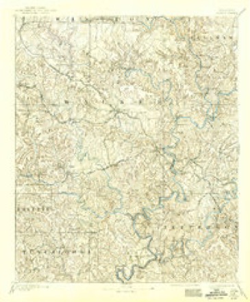
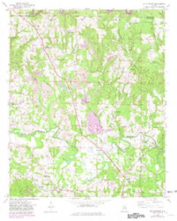
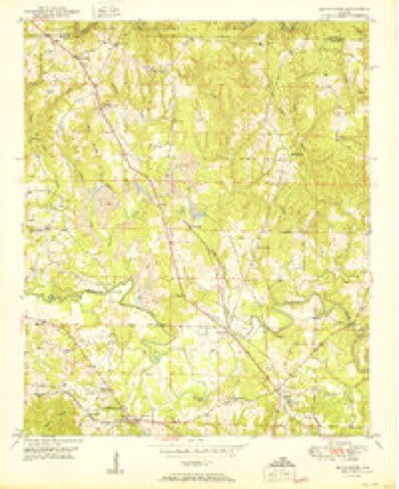
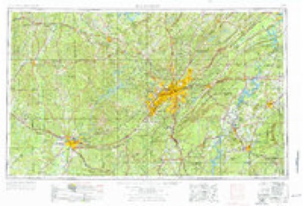
18 topographic sheets cover this place, the earliest surveyed in 1893 and the latest in 2000. It stands in the Manchester census division. It lies in ZIP code area 35503. It stands on Far Crooked Creek. The Survey maps it on the Manchester quadrangle.
Topographic sheets covering this place
8 surveys from 18 printed sheetsMatched by testing this settlement's coordinate against the published boundary of every sheet in the United States Geological Survey's historical collection. Each opens the scanned sheet at the Survey.
- 1893 USGS Jasper quadrangle1:125000, 5 printings
- 1949 USGS Manchester quadrangle1:24000, 2 printings
- 1950 USGS Manchester quadrangle1:24000, 2 printings
- 1953 USGS Birmingham quadrangle1:250000, 4 printings
- 1956 USGS Birmingham quadrangle1:250000
- 1957 USGS Birmingham quadrangle1:250000
- 1984 USGS Jasper quadrangle1:100000, 2 printings
- 2000 USGS Manchester quadrangle1:24000
Fires near this place
182 since 1994Regional context, not property-specific evidence. The federal wildfire occurrence database lists 182 fires within 5 miles of Marigold between 1994 and 2020, burning about 1,508 acres in total. None started naturally. 62 were recorded as arson. Distance is straight-line from the map coordinates, so a fire counted here may appear on a neighbouring settlement's page as well.
| Reported cause | Fires |
|---|---|
| Arson/incendiarism | 62 |
| Debris and open burning | 62 |
| Missing data/not specified/undetermined | 34 |
| Recreation and ceremony | 16 |
| Equipment and vehicle use | 4 |
| Other causes | 2 |
| Fireworks | 1 |
| Power generation/transmission/distribution | 1 |
The most recent of them, most recent first, with the day each was reported and the service that recorded it.
| Date | Cause | Size | Reported by | Name on the report |
|---|---|---|---|---|
| 9 September 2010 | Debris and open burning | under an acre | Alabama Forestry Commission | not named |
| 8 September 1999 | Arson/incendiarism | under an acre | National Forests in Alabama | TUCKER3 |
| 8 September 1995 | Recreation and ceremony | 1.5 acres | Alabama Forestry Commission | not named |
| 8 September 1995 | Recreation and ceremony | under an acre | Alabama Forestry Commission | not named |
| 8 September 1995 | Recreation and ceremony | under an acre | Alabama Forestry Commission | not named |
| 6 September 2010 | Debris and open burning | under an acre | Alabama Forestry Commission | not named |
| 4 September 1999 | Arson/incendiarism | 80 acres | National Forests in Alabama | TUCKER#2 |
| 4 September 1999 | Arson/incendiarism | 5.0 acres | National Forests in Alabama | TUCKER#1 |
Settlements close enough to share some of these fires:
Storms near this place
35 since 2008Regional context, not property-specific evidence. The National Weather Service names Marigold in 35 storm reports between 2008 and 2026: 16 thunderstorm wind, 15 hail, 2 tornado, 2 lightning. The reports record 2 injuries. Each account below is quoted exactly as the forecast office filed it, from the NOAA Storm Events Database, and each date opens the federal record of that event.
| When | Event | Place named | Harm | What the report says |
|---|---|---|---|---|
| August 2023 | Lightning | Marigold | 1 hurt | Female struck by lightning. Extent of injuries unknown. |
| October 2014 | Lightning | Marigold | 1 hurt | One person transported to local hospital after being struck by lightning. Injuries unknown. |
| May 2008 | Tornado (EF1) | Marigold | $100,000 | This tornado touched down on Blooming Grove Road, about six tenths of a mile south of CR-43 near the Marylee Community. From there, it moved almost due east, crossing CR-43 and Smith Lake. Along its path in Walker County, the tornado blew down or snapped off hundreds of trees, damaged or destroyed at least 6 chicken houses, and destroyed at least 5 boat houses at the Euskin Point Marina on Smith Lake. |
| May 2008 | Tornado (EF1) | Marigold | $20,000 | The tornado touched down near the intersection of Birdfarm Road and Snow Lake Road, and then moved southeast, crossing SR-257 and SR-69, before lifting near the Cullman County line. The tornado affected areas near the Sunlight Community, the Burrows Crossroads Community, and the Powellville Community. Numerous trees were either snapped off or uprooted along the path. Several structures suffered varying degrees of damage. |
| June 2009 | Thunderstorm Wind | Marigold | $15,000 | An estimated 25 to 30 trees were blown down at the Musgrove Country Club, in the Manchester Community. |
| April 2011 | Thunderstorm Wind | Marigold | $6,000 | Several trees were blown down and at least one structure along Highway 257 received damage. |
| April 2011 | Thunderstorm Wind | Marigold | $5,000 | A few trees were blown down around Curry. |
| November 2010 | Thunderstorm Wind | Marigold | $3,000 | Several trees were blown down on Smith Lake Dam Road, blocking the roadway. |
| February 2011 | Thunderstorm Wind | Marigold | $2,000 | Trees were blown down at Gaines Road and Christy Lane, near Highway 257. |
| June 2010 | Thunderstorm Wind | Marigold | $2,000 | Trees were blown down on AL-257 in the town of Curry. |
| May 2011 | Hail | Marigold | $1,000 | Half dollar sized hail fell in a swath, from near Curry to Smith Lake. |
| May 2008 | Thunderstorm Wind | Marigold | $500 | At least one tree was blown down, and power outages were reported, on Bennett Road, between Jasper and Double Springs. |
| February 2026 | Hail | Marigold | - | Nickel-size hail was reported near Curry. |
| January 2023 | Thunderstorm Wind | Marigold | - | National Weather Service meteorologists surveyed damage in northeast Walker County on Lewis Smith Lake and determined that it was consistent with a microburst event, with maximum winds near 80 mph. Video footage from a lake home confirmed a long-lived wind event. Damage consisted of several uprooted trees along a water inlet between Lake Shore Place and Lone Oak Drive. Other damage included loss of roofing material on one home and damage to several boat houses. |
| June 2023 | Thunderstorm Wind | Marigold | - | Trees uprooted and across Walston Bridge Road. |
| August 2023 | Thunderstorm Wind | Marigold | - | Several trees uprooted in the Curry community. |
| July 2023 | Hail | Marigold | - | Penny size hail reported along Highway 195. |
| April 2021 | Hail | Marigold | - | Quarter size hail reported between Curry and Manchester. |
| August 2019 | Thunderstorm Wind | Marigold | - | Several trees uprooted near the town of Curry. |
| April 2017 | Thunderstorm Wind | Marigold | - | Several trees uprooted near the town of Curry. |
| June 2014 | Thunderstorm Wind | Marigold | - | Several trees were uprooted near the town of Curry. |
| February 2014 | Thunderstorm Wind | Marigold | - | Several trees were blown down in Curry. |
| March 2013 | Thunderstorm Wind | Marigold | - | Trees and powerlines were reported down in Curry. |
| March 2012 | Hail | Marigold | - | For the second time during this event, hail up to the size of golf balls was reported near Curry. |
| May 2012 | Thunderstorm Wind | Marigold | - | Trees were blown down at the intersection of Alabama Highway 69 and Burrows Crossing Rd. |
| March 2012 | Hail | Marigold | - | Along Alabama Highway 195 north of Jasper, large hail damaged windows and sunroofs on approximately 40 vehicles and roofs on several homes. |
| March 2017 | Hail | Marigold | - | no account filed |
| March 2017 | Hail | Marigold | - | no account filed |
| March 2017 | Hail | Marigold | - | no account filed |
| March 2012 | Hail | Marigold | - | no account filed |
| May 2012 | Hail | Marigold | - | no account filed |
| December 2012 | Hail | Marigold | - | no account filed |
| March 2011 | Hail | Marigold | - | no account filed |
| April 2008 | Hail | Marigold | - | no account filed |
| August 2008 | Hail | Marigold | - | no account filed |
Nearest settlements
The eight closest, with where each one stands in the county. Distances are straight-line, computed from the Geographic Names Information System coordinates.
| Map | Place | Distance | Sheets |
|---|---|---|---|
| Manchester | 2.3 miles | 18 | |
| Camak Mills (historical) | 2.5 miles | 18 | |
| Macedonia | 2.7 miles | 18 | |
| Thach | 3.0 miles | 18 | |
| South Lowell | 3.1 miles | 18 | |
| Edgil | 3.3 miles | 18 | |
| Hudson Settlement | 3.7 miles | 18 | |
| Five Points | 3.8 miles | 18 |
Provenance
This settlement is recorded in the Geographic Names Information System as feature 160037. The sheet list is computed by point-in-boundary test against the United States Geological Survey's historical topographic inventory. Both are works of the United States government and carry no copyright under 17 U.S.C. 105.
Wildfire. Short, Karen C. 2022. Spatial wildfire occurrence data for the United States, 1992-2020 [FPA_FOD_20221014]. 6th Edition. Fort Collins, CO: Forest Service Research Data Archive. https://doi.org/10.2737/RDS-2013-0009.6 Collected with United States Government funding and usable without additional permissions or fees.
Storms. NOAA National Centers for Environmental Information, Storm Events Database https://www.ncei.noaa.gov/stormevents/ A work of the United States government, no copyright under 17 U.S.C. 105. Narratives are quoted verbatim from the National Weather Service report and are not edited or summarised.