 Block
Mertz, Alabama
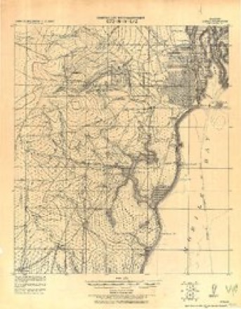
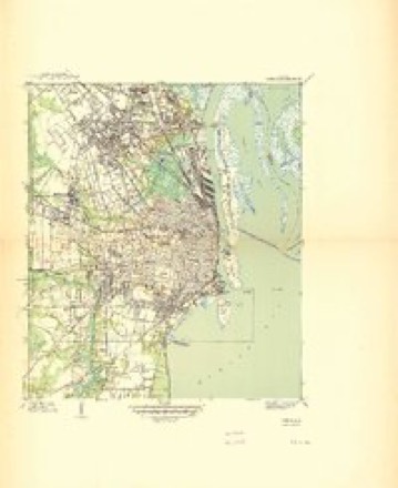
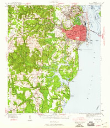
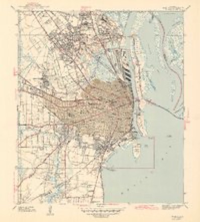
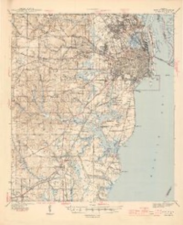
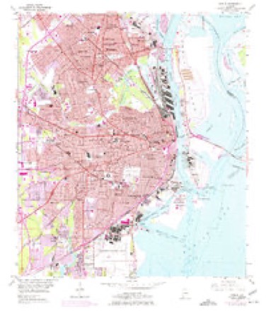
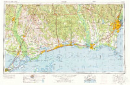
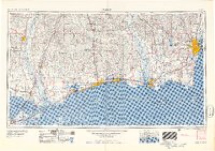
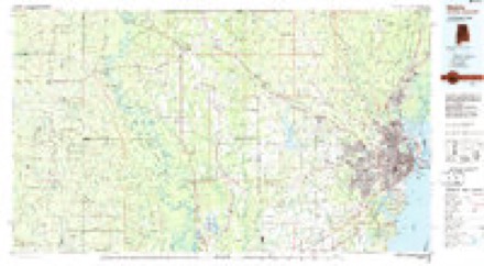
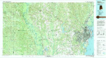
34 topographic sheets cover this place, the earliest surveyed in 1922 and the latest in 1994. It stands in the Mobile census division. It lies in ZIP code area 36606. It stands on Eslava Creek. The Survey maps it on the Mobile quadrangle.
On record in Mertz
Buildings and businesses the archive holds for this place. Each opens its own page, with the source record it came from.
On the National Register within a mile 1 record
The National Register names another town for these. They stand within one mile of this settlement's coordinate.
- Maysville Historic Districtlisted 2013 · 0.9 miles away
Topographic sheets covering this place
14 surveys from 34 printed sheetsMatched by testing this settlement's coordinate against the published boundary of every sheet in the United States Geological Survey's historical collection. Each opens the scanned sheet at the Survey.
- 1922 USGS Mobile quadrangle1:62500
- 1940 USGS Mobile quadrangle1:31680, 3 printings
- 1940 USGS Mobile quadrangle1:62500, 5 printings
- 1943 USGS Mobile quadrangle1:31680, 2 printings
- 1944 USGS Mobile quadrangle1:62500, 4 printings
- 1953 USGS Mobile quadrangle1:24000, 5 printings
- 1953 USGS Mobile quadrangle1:250000, 3 printings
- 1957 USGS Mobile quadrangle1:250000, 3 printings
- 1960 USGS Mobile quadrangle1:250000
- 1963 USGS Mobile quadrangle1:250000
- 1965 USGS Mobile quadrangle1:250000
- 1984 USGS Mobile quadrangle1:250000, 3 printings
- 1984 USGS Mobile quadrangle1:100000
- 1994 USGS Mobile quadrangle1:100000
Fires near this place
34 since 1994Regional context, not property-specific evidence. The federal wildfire occurrence database lists 34 fires within 5 miles of Mertz between 1994 and 2017, burning about 442 acres in total. None started naturally. 11 were recorded as arson. Distance is straight-line from the map coordinates, so a fire counted here may appear on a neighbouring settlement's page as well.
| Reported cause | Fires |
|---|---|
| Missing data/not specified/undetermined | 14 |
| Arson/incendiarism | 11 |
| Equipment and vehicle use | 3 |
| Debris and open burning | 2 |
| Recreation and ceremony | 2 |
| Power generation/transmission/distribution | 1 |
| Railroad operations and maintenance | 1 |
The most recent of them, most recent first, with the day each was reported and the service that recorded it.
| Date | Cause | Size | Reported by | Name on the report |
|---|---|---|---|---|
| 3 September 2011 | Missing data/not specified/undetermined | 20 acres | Alabama Forestry Commission | CR 16/CR 64, AL |
| 2 September 2015 | Missing data/not specified/undetermined | under an acre | Alabama Forestry Commission | SWR-20150902-001 |
| 30 May 2001 | Missing data/not specified/undetermined | 1.0 acres | Alabama Forestry Commission | not named |
| 27 May 2014 | Missing data/not specified/undetermined | 3.0 acres | Alabama Forestry Commission | SWR-20140527-003 |
| 21 May 2007 | Arson/incendiarism | 3.0 acres | Alabama Forestry Commission | not named |
| 27 April 2013 | Missing data/not specified/undetermined | under an acre | Alabama Forestry Commission | SWR-20130427-001 |
| 27 April 2011 | Power generation/transmission/distribution | 3.7 acres | Alabama Forestry Commission | 720 KENTUCKY RD, AL |
| 21 April 2009 | Debris and open burning | 250 acres | Alabama Forestry Commission | GIRBY ROAD |
Settlements close enough to share some of these fires:
Mines and quarries near this place
10 within 5 milesRegional context, not property-specific evidence. The federal mineral resources record lists 10 workings within 5 miles of Mertz: 7 producers, 2 plants, 1 past producer. 9 still produce. What was taken out: Sand and Gravel, Construction, Calcium, Perlite, Titanium. Distance is straight-line from the map coordinates, so a quarry counted here may appear on a neighbouring settlement's page as well.
| Where | Site | Commodity | Status | Recorded |
|---|---|---|---|---|
| Kerr-Mcgee Mobile Facility | Titanium | Plant | ||
| Mobile Aluminum Refining Plant | Aluminum | Plant | ||
| Mobile Plant | Perlite | Producer | ||
| Mobile Dredge | Calcium | Producer | ||
| Oyster Shell Products/Canal Plant | Calcium | Producer | ||
| Flamingo Dredge | Sand and Gravel, Construction | Producer | ||
| Halls Mill Pit | Sand and Gravel, Construction | Producer | ||
| Laidlaw Pit No. 3 | Sand and Gravel, Construction | Past Producer | ||
| Mobile Mine | Sand and Gravel, Construction | Producer | ||
| Pierre Dredge | Sand and Gravel, Construction | Producer |
Storms near this place
9 since 2010Regional context, not property-specific evidence. The National Weather Service names Mertz in 9 storm reports between 2010 and 2022: 4 flash flood, 3 thunderstorm wind, 2 tornado. No death or injury is recorded in these reports. Each account below is quoted exactly as the forecast office filed it, from the NOAA Storm Events Database, and each date opens the federal record of that event.
| When | Event | Place named | Harm | What the report says |
|---|---|---|---|---|
| December 2012 | Tornado (EF2) | Mertz | $1,350,000 | The initial tornado touchdown was located near|Dauphin Island Parkway...Duval Street and Halls Mill Road...where it|initially moved northwestward. The tornado continued northward to|near the intersections of Holcomb Avenue...Government Street and|Dauphin Island Parkway where it produced damage consistent with an|EF-1 tornado...damaging several commercial retailers. The tornado|continued northward...damaging homes and producing roof damage to|numerous homes. It then reached Murphy High School...where it|destroyed several out-buildings...blew out windows and produced|significant roof damage to the high school. From here...The tornado|tracked northward to Dauphin Street where it strengthened and widened|to 200 yards producing damage consistent with an EF-2 tornado to|several homes. Also significantly damaged was the Trinity Episcopal|Church on Dauphin Street. The tornado then moved into the Silverwood|Street area where it produced EF-1 damage and sporadic EF-2 damage to|several homes. The tornado next tracked north northeast across the|Mobile Infirmary Hospital ...where it blew out several windows and|damaged several automobiles...as well as flipping one automobile. The|tornado continued tracking northeastward across interstate 165 moving|into the Prichard area where it produced damage to the roofs of|several homes...as well as snapping several trees. The tornado|continued across Telegraph Road where it tossed several large|shipping containers and damaged a warehouse facility before|dissipating on Jakes Lane in Prichard. |
| May 2016 | Thunderstorm Wind | Mertz | $5,000 | Severe thunderstorm wind gusts downed trees and power lines on Gorgas Street and Bascombe Street. |
| April 2014 | Flash Flood | Mertz | $5,000 | Water rising up the bumpers of cars was reported on Virginia Street near Ladd Peebles Stadium. |
| May 2015 | Flash Flood | Mertz | $1,000 | Heavy rain resulted in flooding near the intersection of Government St and McDonald Ave. |
| May 2022 | Tornado (EF1) | Mertz | - | A brief and very narrow high end EF-1 tornado touched down at the|Greer`s and Family Dollar on Broad Street. The tornado directly|moved over the Family Dollar with the building completely destroyed.|The tornado lifted off the roof and then the roof collapsed back|down onto building, resulting in its destruction. The tornado|continued to produce sporadic EF0 damage to the northeast|and lifted near Texas Street just east of Broad Street. |
| July 2022 | Flash Flood | Mertz | - | Heavy rain caused street flooding with one stranded vehicle near Oakleigh Garden. |
| July 2022 | Thunderstorm Wind | Mertz | - | High winds downed multiple power lines on Dauphin Island Parkway. |
| November 2022 | Thunderstorm Wind | Mertz | - | High winds downed a large tree on a home. |
| January 2010 | Flash Flood | Mertz | - | Cars reported stalled due to high water covering the roadway at the intersection of Virginia Street and Gayle Street in Mobile. |
Nearest settlements
The eight closest, with where each one stands in the county. Distances are straight-line, computed from the Geographic Names Information System coordinates.
| Map | Place | Distance | Sheets |
|---|---|---|---|
| Brookwood | 1.1 miles | 34 | |
| Belvedere | 1.4 miles | 34 | |
| Cox | 1.4 miles | 34 | |
| Bridlewood | 1.5 miles | 34 | |
| Farnell | 1.5 miles | 34 | |
| Neshota | 1.6 miles | 34 | |
| Tacon | 1.9 miles | 34 | |
| Forest Park | 2.3 miles | 34 |
Provenance
This settlement is recorded in the Geographic Names Information System as feature 152305. The sheet list is computed by point-in-boundary test against the United States Geological Survey's historical topographic inventory. Both are works of the United States government and carry no copyright under 17 U.S.C. 105.
Wildfire. Short, Karen C. 2022. Spatial wildfire occurrence data for the United States, 1992-2020 [FPA_FOD_20221014]. 6th Edition. Fort Collins, CO: Forest Service Research Data Archive. https://doi.org/10.2737/RDS-2013-0009.6 Collected with United States Government funding and usable without additional permissions or fees.
Mines and quarries. USGS Mineral Resources Data System (MRDS) https://mrdata.usgs.gov/mrds/ A work of the United States government, no copyright under 17 U.S.C. 105.
Storms. NOAA National Centers for Environmental Information, Storm Events Database https://www.ncei.noaa.gov/stormevents/ A work of the United States government, no copyright under 17 U.S.C. 105. Narratives are quoted verbatim from the National Weather Service report and are not edited or summarised.