 Block
Mitylene, Alabama
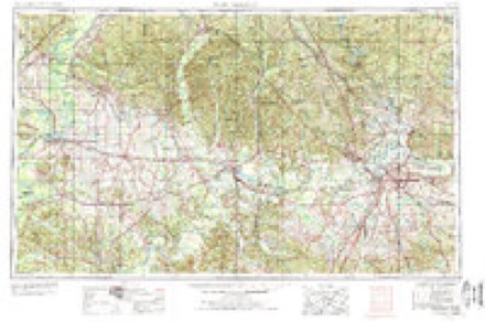
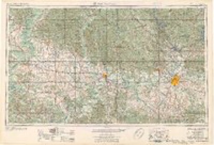
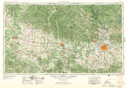
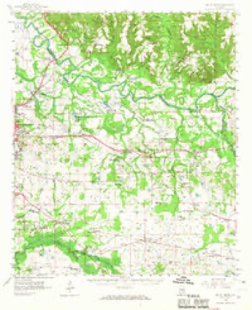
13 topographic sheets cover this place, the earliest surveyed in 1953 and the latest in 1987. It stands in the Montgomery census division. It lies in ZIP code area 36117. The Survey maps it on the Willow Springs quadrangle.
Topographic sheets covering this place
7 surveys from 13 printed sheetsMatched by testing this settlement's coordinate against the published boundary of every sheet in the United States Geological Survey's historical collection. Each opens the scanned sheet at the Survey.
- 1953 USGS Montgomery quadrangle1:250000, 4 printings
- 1956 USGS Montgomery quadrangle1:250000
- 1957 USGS Montgomery quadrangle1:250000
- 1958 USGS Mount Meigs quadrangle1:62500, 2 printings
- 1975 USGS Mount Meigs NW quadrangle1:24000
- 1986 USGS Montgomery quadrangle1:100000, 2 printings
- 1987 USGS Willow Springs quadrangle1:24000, 2 printings
Fires near this place
54 since 1995Regional context, not property-specific evidence. The federal wildfire occurrence database lists 54 fires within 5 miles of Mitylene between 1995 and 2018, burning about 689 acres in total. 2 started naturally. 4 were recorded as arson. Distance is straight-line from the map coordinates, so a fire counted here may appear on a neighbouring settlement's page as well.
| Reported cause | Fires |
|---|---|
| Debris and open burning | 31 |
| Missing data/not specified/undetermined | 6 |
| Recreation and ceremony | 5 |
| Arson/incendiarism | 4 |
| Equipment and vehicle use | 4 |
| Natural | 2 |
| Smoking | 1 |
| Misuse of fire by a minor | 1 |
The most recent of them, most recent first, with the day each was reported and the service that recorded it.
| Date | Cause | Size | Reported by | Name on the report |
|---|---|---|---|---|
| 3 September 2011 | Equipment and vehicle use | 3.0 acres | Alabama Forestry Commission | 1200 BLOCK OF WARES FERRY ROAD, AL |
| 3 September 2002 | Missing data/not specified/undetermined | 3.0 acres | Alabama Forestry Commission | not named |
| 19 September 2011 | Equipment and vehicle use | 1.5 acres | Alabama Forestry Commission | 834 CO RD 4, AL |
| 15 September 2015 | Debris and open burning | 2.0 acres | Alabama Forestry Commission | ECR-20150915-001 |
| 15 September 1999 | Debris and open burning | 10 acres | Alabama Forestry Commission | not named |
| 12 September 2002 | Equipment and vehicle use | 10 acres | Alabama Forestry Commission | not named |
| 7 August 1999 | Arson/incendiarism | 10 acres | Alabama Forestry Commission | not named |
| 5 August 2007 | Natural | 2.0 acres | Alabama Forestry Commission | not named |
Settlements close enough to share some of these fires:
Mines and quarries near this place
10 of 16 shownRegional context, not property-specific evidence. The federal mineral resources record lists 16 workings within 5 miles of Mitylene: 13 producers, 3 past producers. 13 still produce. What was taken out: Sand and Gravel, Construction, Titanium, Metal, Zirconium, Kyanite, Titanium, Metal, Zirconium, REE, Kyanite, Silica. Distance is straight-line from the map coordinates, so a quarry counted here may appear on a neighbouring settlement's page as well.
| Where | Site | Commodity | Status | Recorded |
|---|---|---|---|---|
| Deep South Const. Co Pit | Sand and Gravel, Construction, Titanium, Metal, Zirconium, Kyanite | Producer | Quartz | |
| Hodson Pit | Silica, Sand and Gravel, Construction | Producer | Quartz | |
| Mitylene Pit | Sand and Gravel, Construction, Titanium, Metal, Zirconium, REE, Kyanite | Producer | Quartz | |
| Brannon Pit | Sand and Gravel, Construction | Producer | Quartz | |
| Deep South Construction Co. Pit | Sand and Gravel, Construction | Producer | ||
| Froggy Bottom Pit | Sand and Gravel, Construction | Producer | ||
| J.M. Jordon Mining Co. Pit | Sand and Gravel, Construction | Producer | ||
| Mcgee Pit | Sand and Gravel, Construction | Past Producer | ||
| Mity Lene Pit | Sand and Gravel, Construction | Producer | ||
| Mount Meigs Pit | Sand and Gravel, Construction | Past Producer |
Storms near this place
14 since 2007Regional context, not property-specific evidence. The National Weather Service names Mitylene in 14 storm reports between 2007 and 2025: 12 thunderstorm wind, 1 hail, 1 tornado. The reports record 1 injury. Each account below is quoted exactly as the forecast office filed it, from the NOAA Storm Events Database, and each date opens the federal record of that event.
| When | Event | Place named | Harm | What the report says |
|---|---|---|---|---|
| January 2023 | Tornado (EF1) | Mitylene | 1 hurt | National Weather Service meteorologists surveyed damage in northern Montgomery County and determined that it was consistent with an EF1 tornado, with maximum winds near 110 mph. The tornado touched down west of Bell Road near Post Oak Lane and Old Creek Road, uprooting a few trees and damaging a carport. It continued east-northeastward, uprooting trees and causing roof damage along Eastwood Glen Place. It continued to uproot trees and damage outbuildings along Thach Road and Kathmoor Drive. While much of the damage along the track was rated EF0, the tornado did briefly intensify to EF1 strength near Meriwether Road and Hollis Drive. Here multiple homes suffered roof damage and a garage was destroyed, and one home suffered significant roof damage. A couple of trucks were also moved and possibly rolled. The tornado|weakened once it crossed Taylor Road, downing baseball fences and scoreboards at Buddy Watson Park. Minor roof and tree damage continued along Halcyon Boulevard and Berry Hill Place, dissipating near intersection of Parkview Drive and Parkview Court. |
| May 2009 | Thunderstorm Wind | Mitylene | $10,000 | The soccer field bleachers at the Auburn University at Montgomery were blown over. |
| June 2010 | Thunderstorm Wind | Mitylene | $5,000 | Trees were blown down onto power lines on Vaughn Road, near the Deer Creek Shopping Center. |
| July 2011 | Thunderstorm Wind | Mitylene | $2,000 | Power poles were snapped near exit 9 on Interstate 85. |
| November 2011 | Thunderstorm Wind | Mitylene | $2,000 | Several trees were blown down between Dunbarton Road and N. Burbank Drive, north of County Road 64. |
| May 2010 | Thunderstorm Wind | Mitylene | $2,000 | Trees and power lines were blown down near Carmichael Road, in the Woodmere area of Montgomery. |
| May 2009 | Thunderstorm Wind | Mitylene | $2,000 | Several trees were blown down near Lakeview Drive, on the northeast side of Montgomery. |
| February 2009 | Thunderstorm Wind | Mitylene | $1,000 | Power lines were blown down at the intersection of Taylor and Vaughn Roads, in Montgomery. |
| March 2025 | Thunderstorm Wind | Mitylene | - | A few trees were downed in various locations across the county. |
| August 2020 | Thunderstorm Wind | Mitylene | - | Several trees uprooted along Wares Ferry Road. |
| August 2020 | Thunderstorm Wind | Mitylene | - | Several large restaurant signs blown out along Atlanta Highway. |
| August 2020 | Thunderstorm Wind | Mitylene | - | Local meteorologist estimated wind speeds of 60 mph and peas size hail near Eastdale Mall. |
| April 2011 | Thunderstorm Wind | Mitylene | - | Wind gusts were estimated near the intersection of US Highway 80 and US Highway 231. |
| June 2007 | Hail | Mitylene | - | Nickel to golf ball sized hail was reported near the UAM campus, Eastchase shopping center, and Wynlakes Golf Club, on the east side of the city of Montgomery. |
Nearest settlements
The eight closest, with where each one stands in the county. Distances are straight-line, computed from the Geographic Names Information System coordinates.
| Map | Place | Distance | Sheets |
|---|---|---|---|
| Landmarks | 1.1 miles | 13 | |
| Brassell Bottom | 1.2 miles | 13 | |
| Arrowhead | 1.3 miles | 13 | |
| Montgomery East | 1.6 miles | 13 | |
| Halcyon | 1.7 miles | 13 | |
| Eastwood Farms | 1.8 miles | 13 | |
| Sunshine Village | 2.0 miles | 13 | |
| Carol Villa | 2.4 miles | 13 |
Elsewhere
Matched on this settlement's Geographic Names Information System number rather than its name, so it cannot be a different place of the same name in another state.
| Wikidata item Q122549959 | The structured record the population and elevation above come from. Public domain (CC0). |
Provenance
This settlement is recorded in the Geographic Names Information System as feature 152353. The sheet list is computed by point-in-boundary test against the United States Geological Survey's historical topographic inventory. Both are works of the United States government and carry no copyright under 17 U.S.C. 105.
Wildfire. Short, Karen C. 2022. Spatial wildfire occurrence data for the United States, 1992-2020 [FPA_FOD_20221014]. 6th Edition. Fort Collins, CO: Forest Service Research Data Archive. https://doi.org/10.2737/RDS-2013-0009.6 Collected with United States Government funding and usable without additional permissions or fees.
Mines and quarries. USGS Mineral Resources Data System (MRDS) https://mrdata.usgs.gov/mrds/ A work of the United States government, no copyright under 17 U.S.C. 105.
Storms. NOAA National Centers for Environmental Information, Storm Events Database https://www.ncei.noaa.gov/stormevents/ A work of the United States government, no copyright under 17 U.S.C. 105. Narratives are quoted verbatim from the National Weather Service report and are not edited or summarised.