BlockBefore

Montgomery County, Alabama

73 topographic sheets and 14 fire insurance atlases across 1 place.

Research this county

From the record

71 National Register listings published here, 5 of them National Historic Landmarks.

Sources: the county history on the Internet Archive · the National Register database, National Park Service

Alabama within the United States
Montgomery County within Alabama
Explore by year 1887 1927

What the record shows

  • 1 place in this county was surveyed for fire insurance: Montgomery, between 1884 and 1953.
  • 14 fire insurance atlases survive for the county. Topographic coverage is national; fire insurance survey reached only incorporated places with something worth insuring.
  • 3,535 topographic sheet readings cover the county's settlements.
  • 71 properties here are on the National Register of Historic Places: 53 buildings, 17 districts and 1 structure.
  • 26 of the 71 listings were added during the 1970s.
  • The Geographic Names Information System records 224 populated places in this county; 222 are covered by at least one topographic sheet.

Photographs

48 photographs, 1935 to 1943

Taken for the Office of War Information and the Farm Security Administration, who photographed the country between 1935 and 1944. Works of United States government photographers, with no known restriction on use. Each opens its catalogue record.
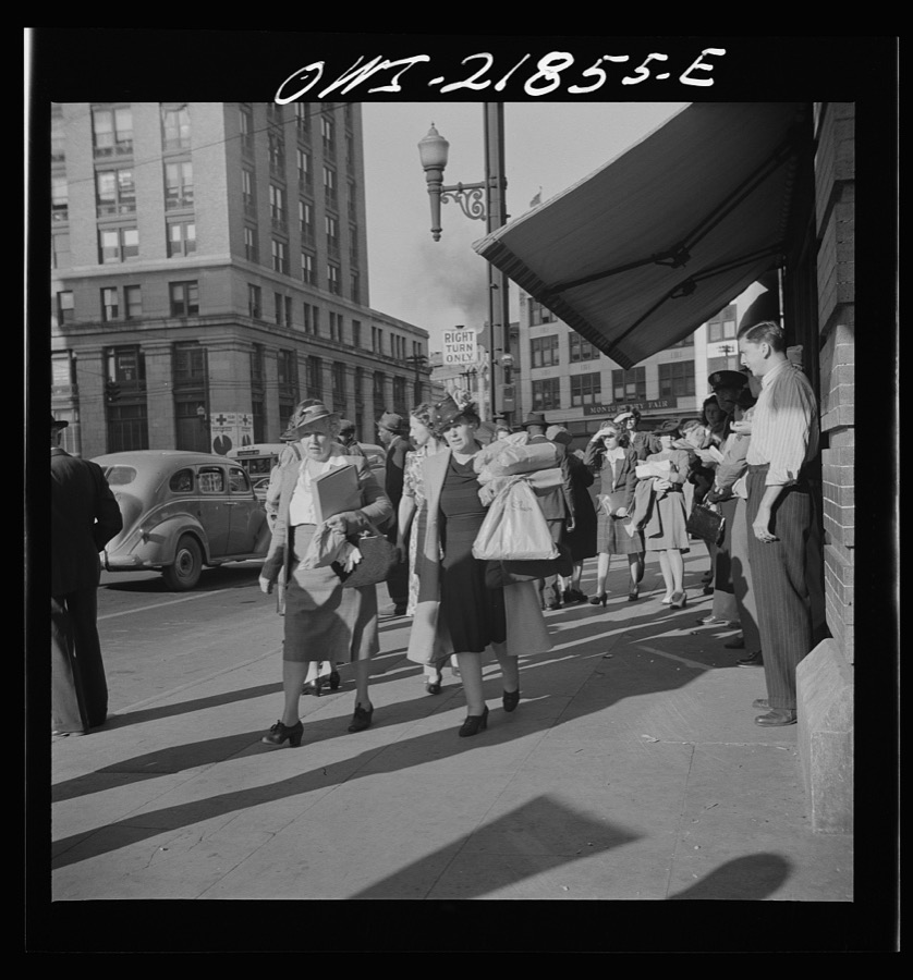
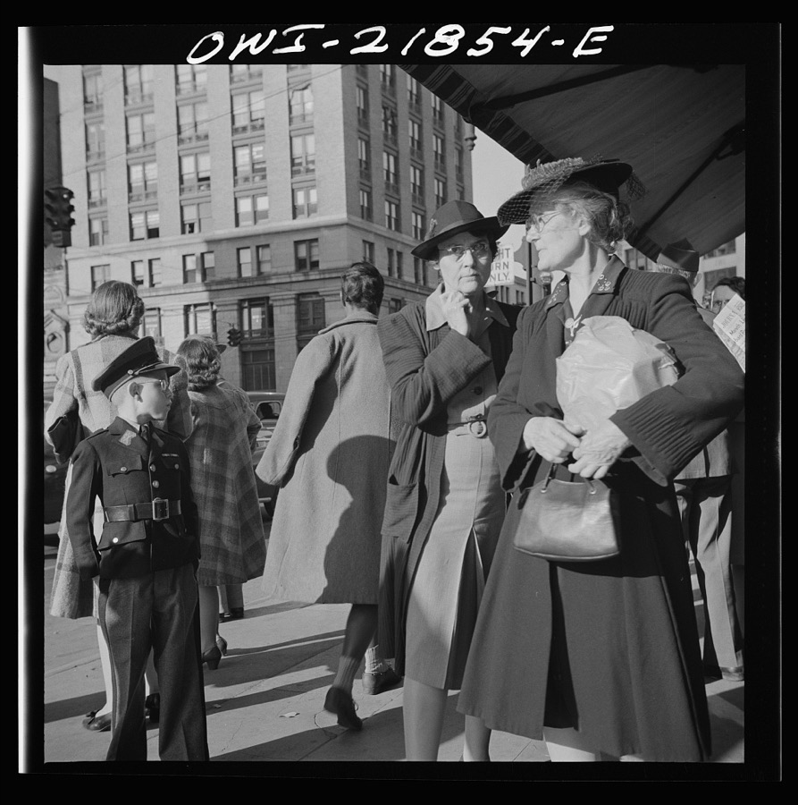
Montgomery, Alabama. Women shoppers
Vachon, John, 1943. Library of Congress
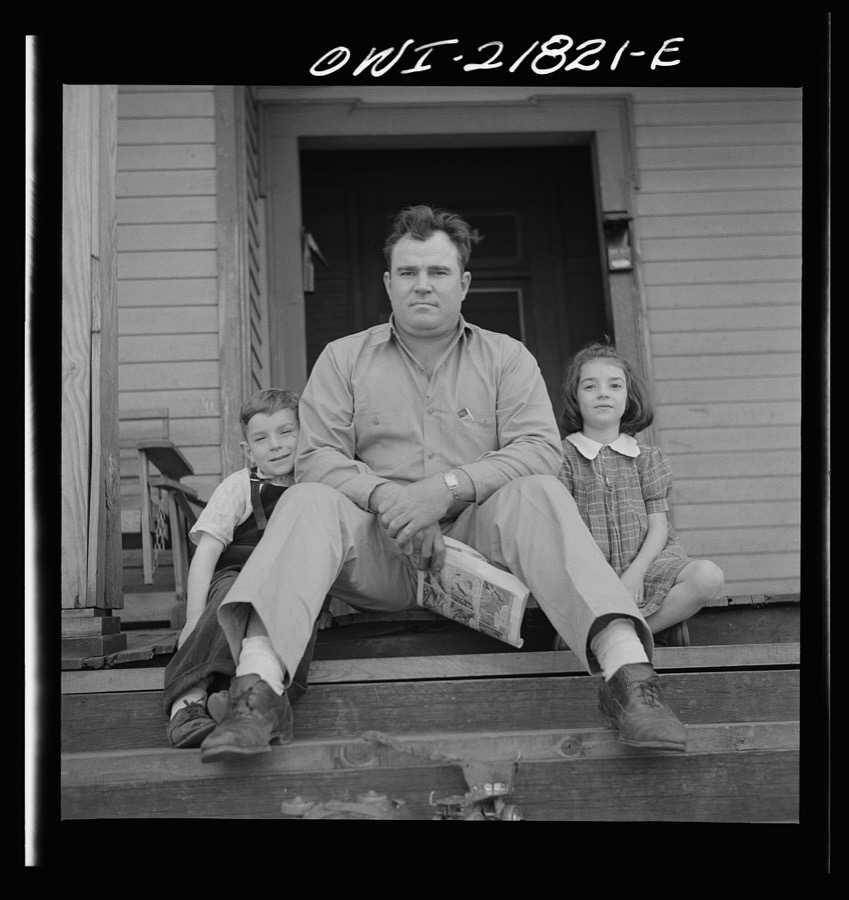
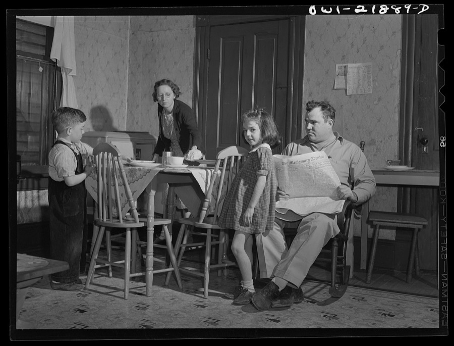
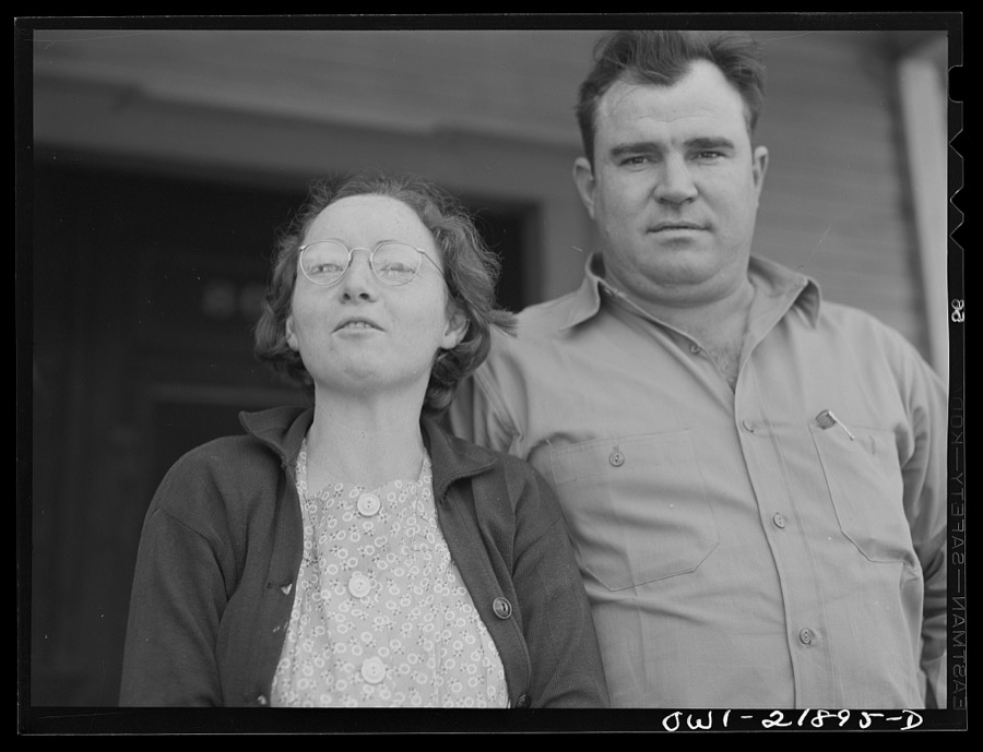
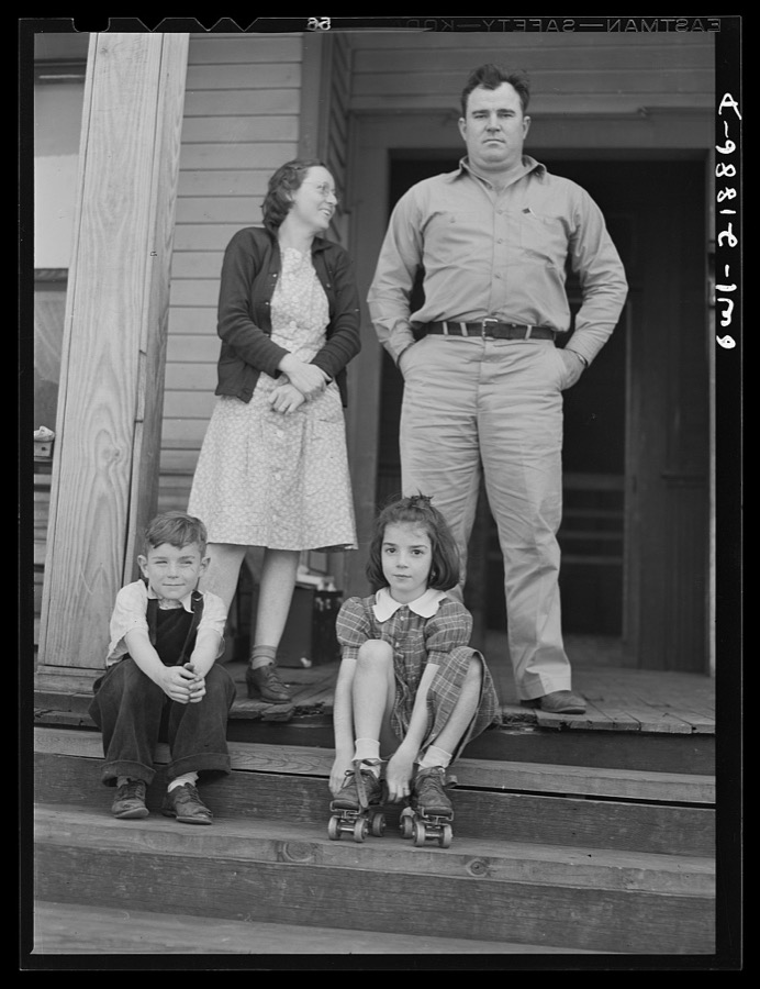
Montgomery, Alabama. Marvin Johnson, truck driver, with his family
Vachon, John, 1943. Library of Congress
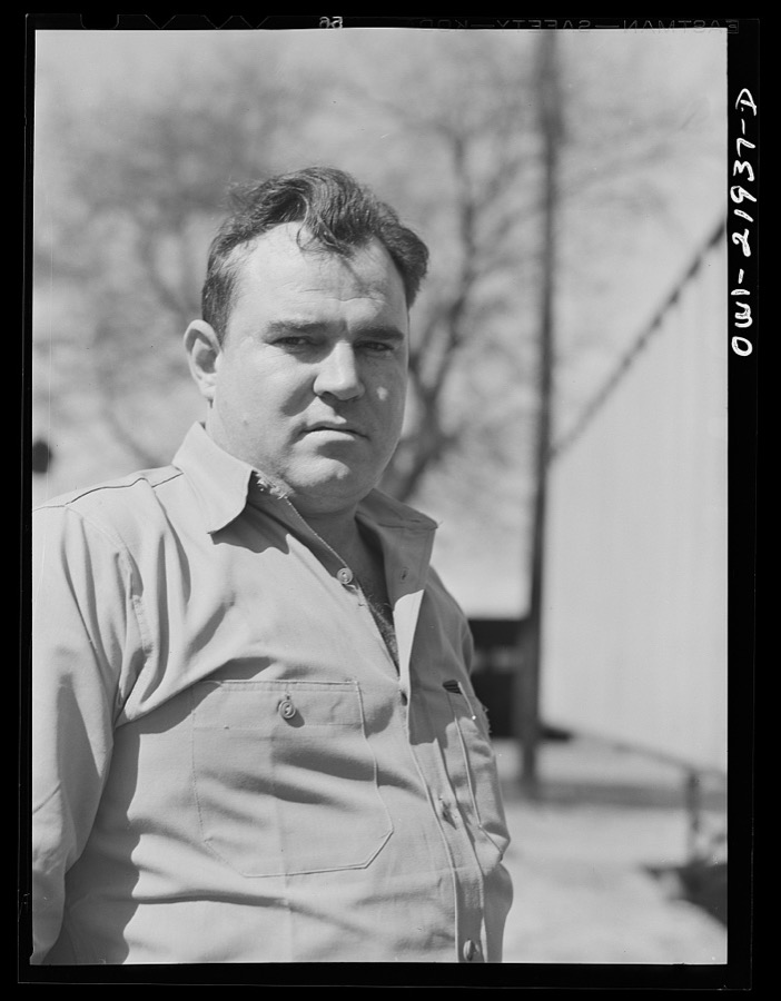
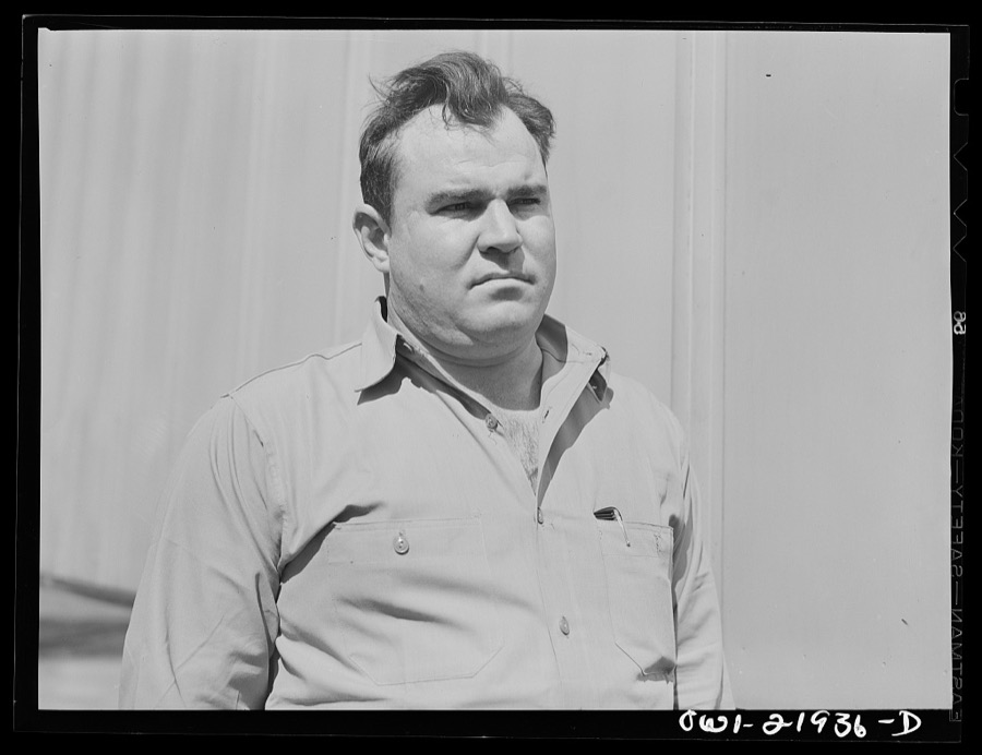
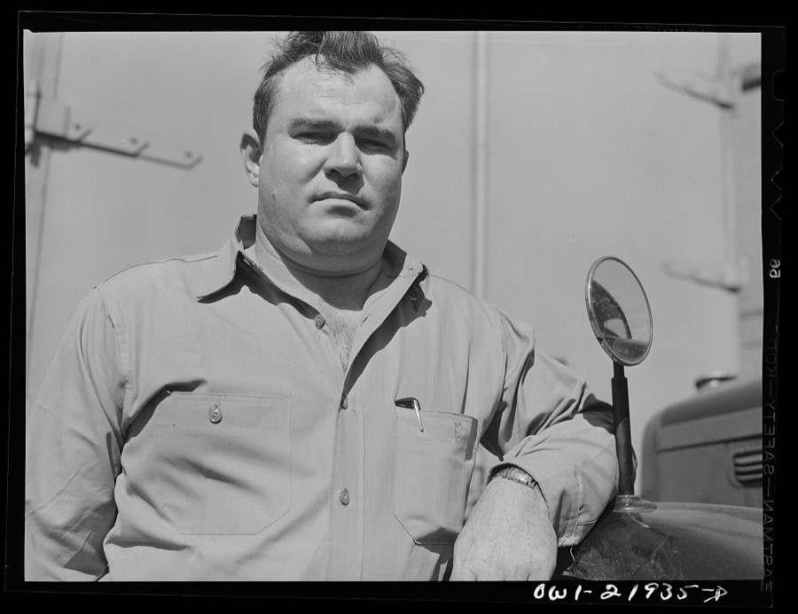
Montgomery, Alabama. Marvin Johnson, truck driver
Vachon, John, 1943. Library of Congress
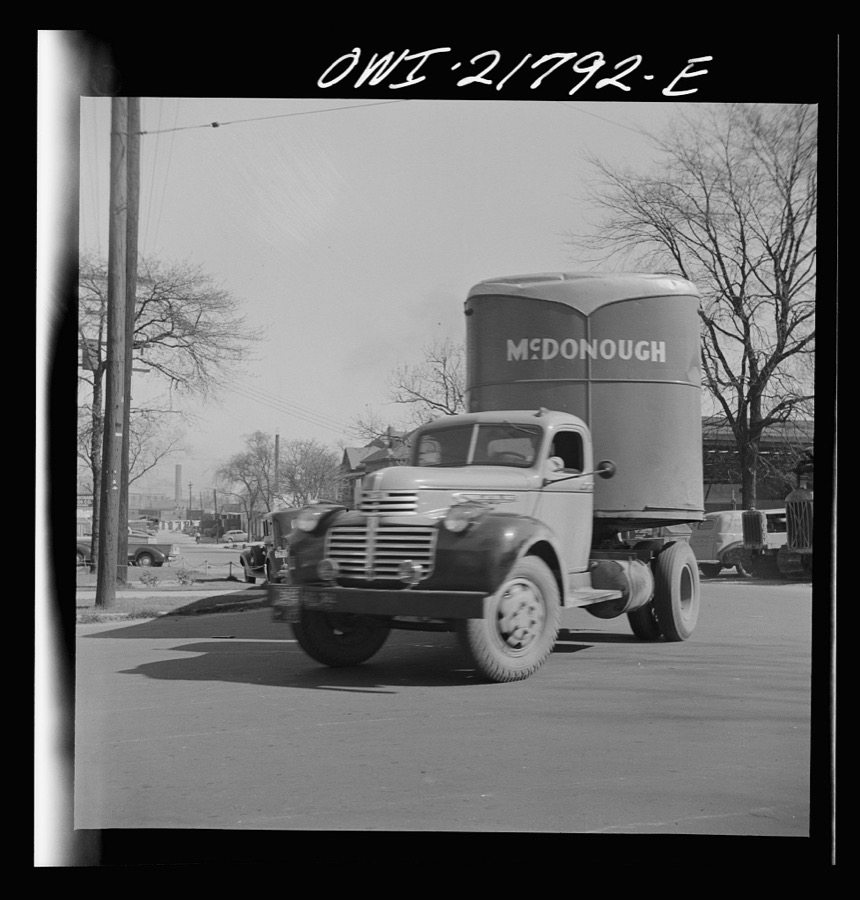
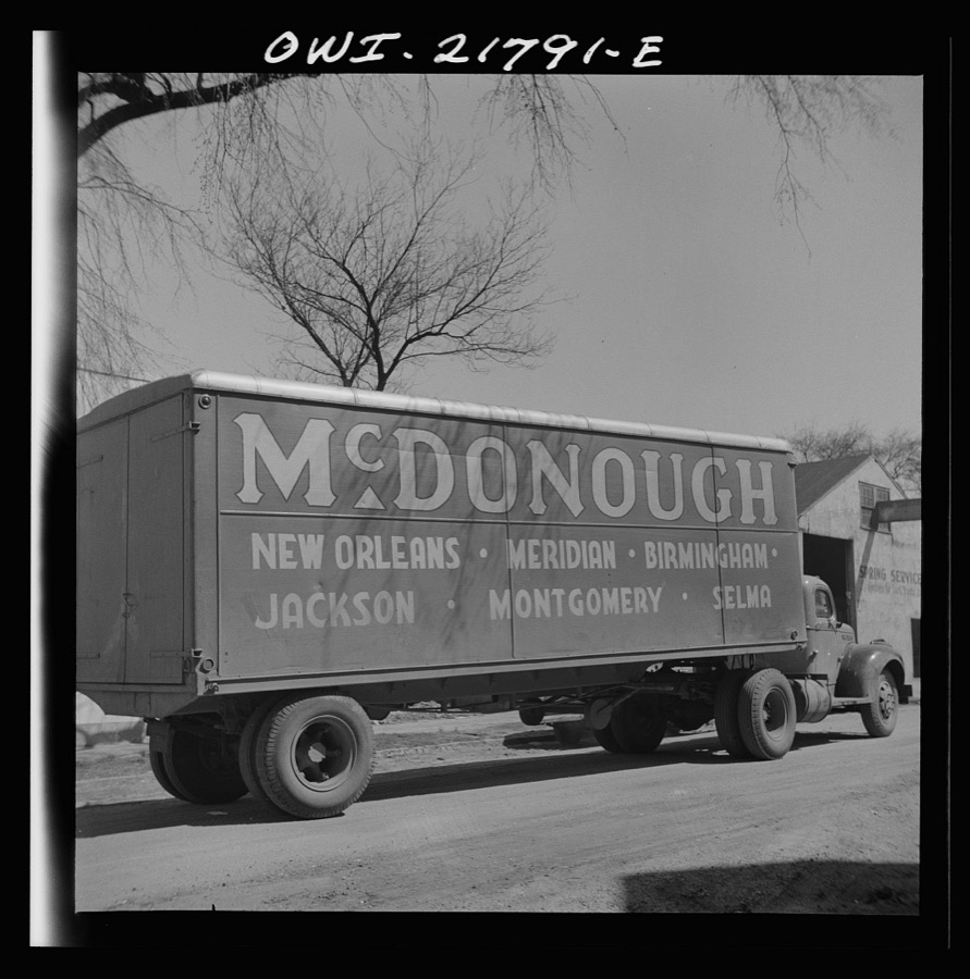
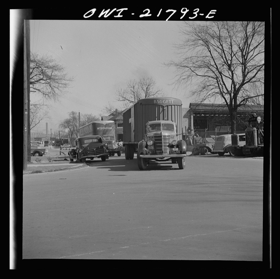
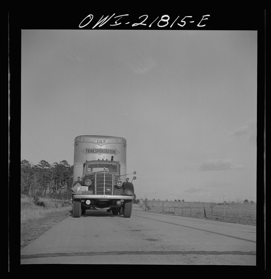
Montgomery, Alabama. Truck and trailer
Vachon, John, 1943. Library of Congress
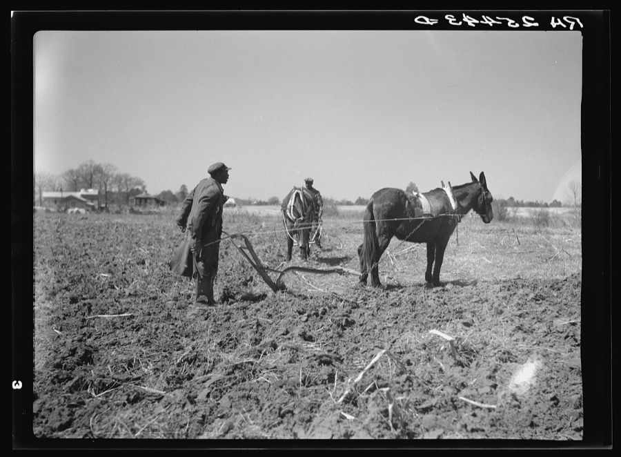
Sharecropper plowing. Montgomery County, Alabama
Rothstein, Arthur, 1937. Library of Congress
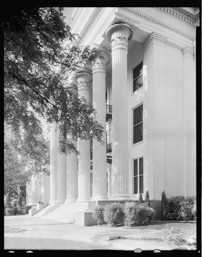
State Capitol, Montgomery, Montgomery County, Alabama
Johnston, Frances Benjamin, 1939. Library of Congress
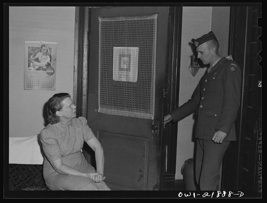
Montgomery, Alabama. Mrs. Brannon talking with a soldier stationed at the same camp as her son
Vachon, John, 1943. Library of Congress
Montgomery, Alabama. Truck and trailer
Vachon, John, 1943. Library of Congress
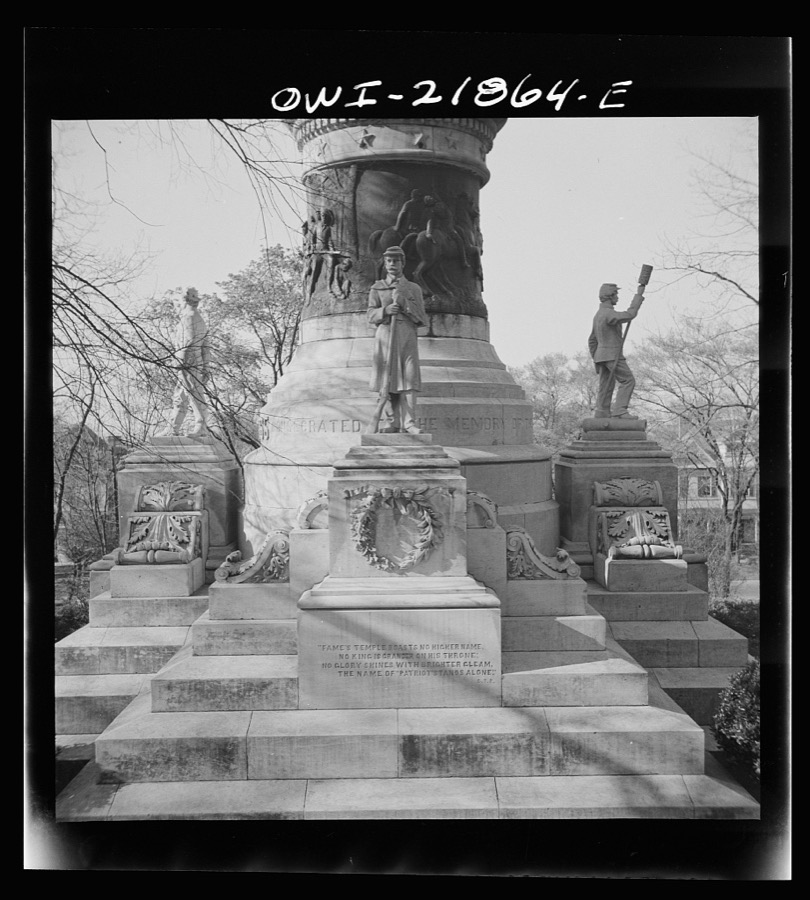
Montgomery, Alabama. Confederate monument in front of the state capitol
Vachon, John, 1943. Library of Congress
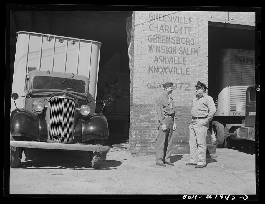
Montgomery, Alabama. Marvin Johnson talking with Seargent James Riley, who was formerly a truck driver for the Associated Transport Company
Vachon, John, 1943. Library of Congress
Montgomery, Alabama. Marvin Johnson, truck driver, with his two children
Vachon, John, 1943. Library of Congress
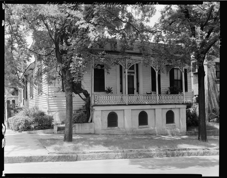
Early Dwelling, 222 S. Perry St., Montgomery, Montgomery County, Alabama
Johnston, Frances Benjamin, 1939. Library of Congress
Montgomery, Alabama. Marvin Johnson, truck driver
Vachon, John, 1943. Library of Congress
Montgomery, Alabama. Truck and trailer
Vachon, John, 1943. Library of Congress
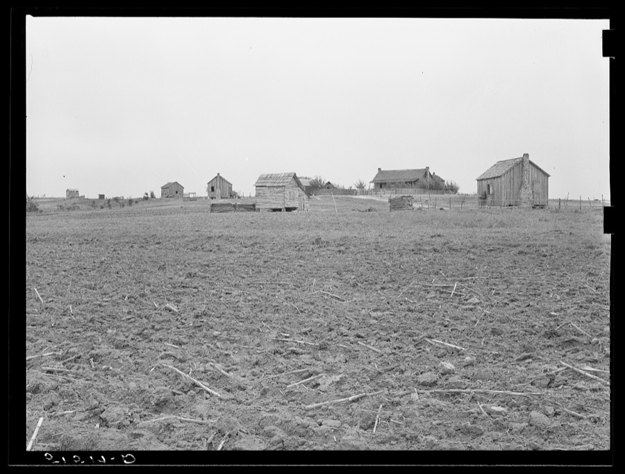
Negro landowners, showing some newer, smaller shacks. Between Montgomery and Camden, Alabama
Wolcott, Marion Post, 1939. Library of Congress
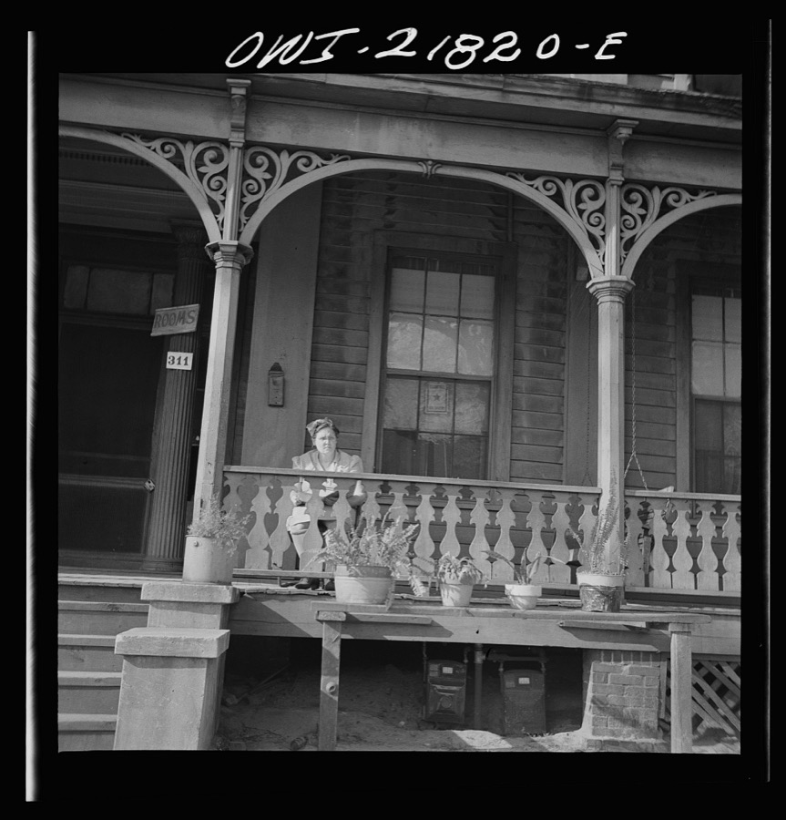
Montgomery, Alabama. Boardinghouse
Vachon, John, 1943. Library of Congress
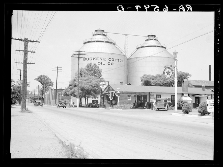
Cotton Oil Company tanks on the outskirts of Montgomery, Alabama
Mydans, Carl, photographer, 1936. Library of Congress
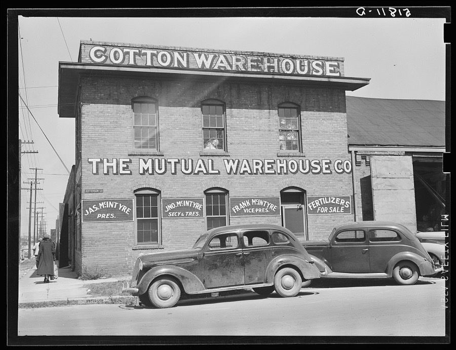
Cotton warehouse. Montgomery, Alabama
Wolcott, Marion Post, 1939. Library of Congress
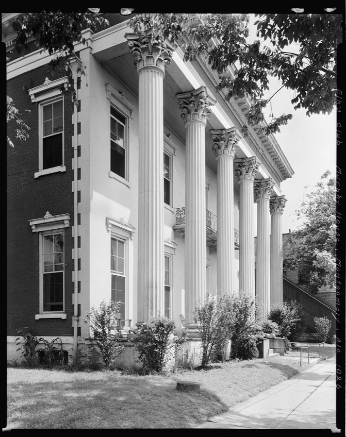
Murphy House, Bibb St., Montgomery, Montgomery County, Alabama
Johnston, Frances Benjamin, 1939. Library of Congress
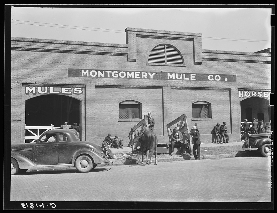
Stock barn of Montgomery Mule Company, Alabama, on day of big mule auction
Wolcott, Marion Post, 1935. Library of Congress
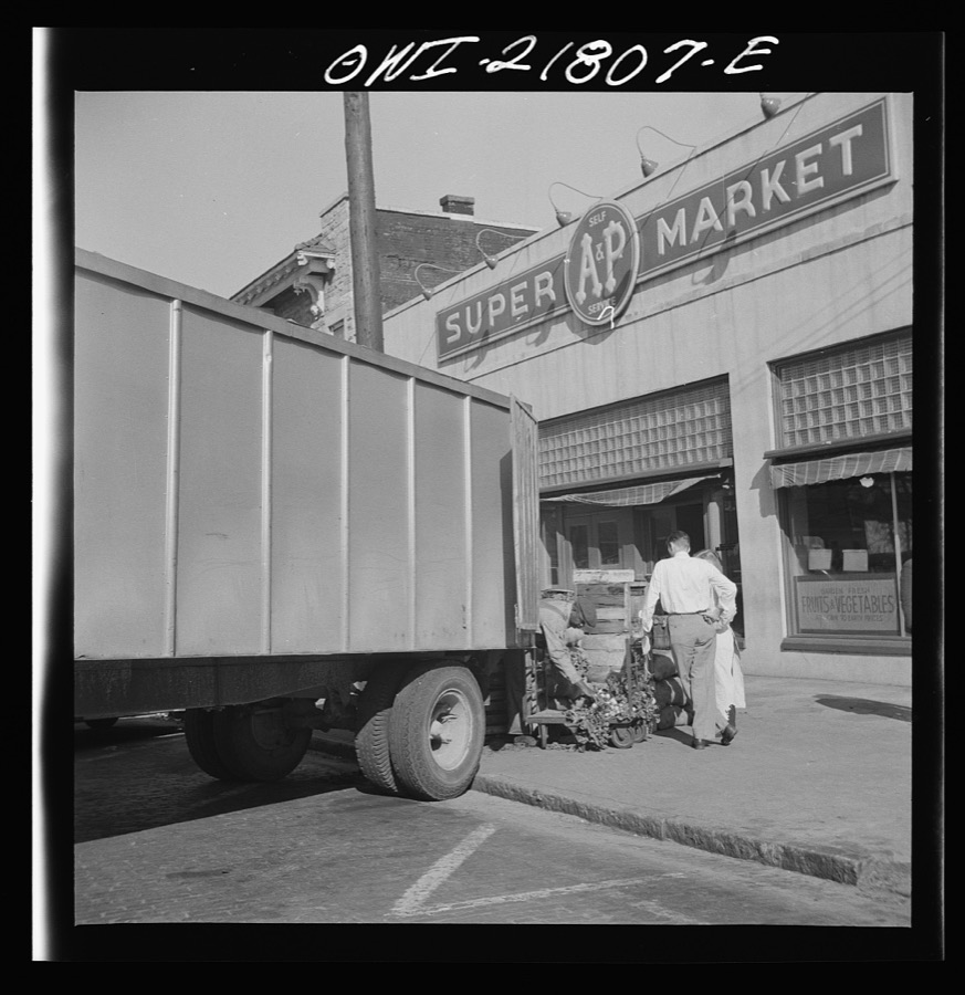
Montgomery, Alabama. Produce truck making deliveries at a supermarket
Vachon, John, 1943. Library of Congress
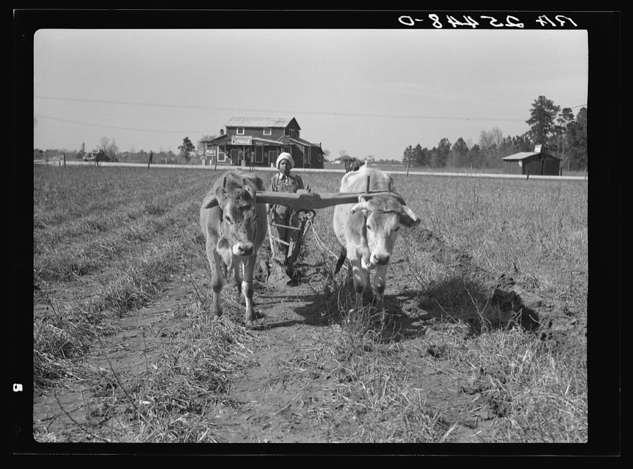
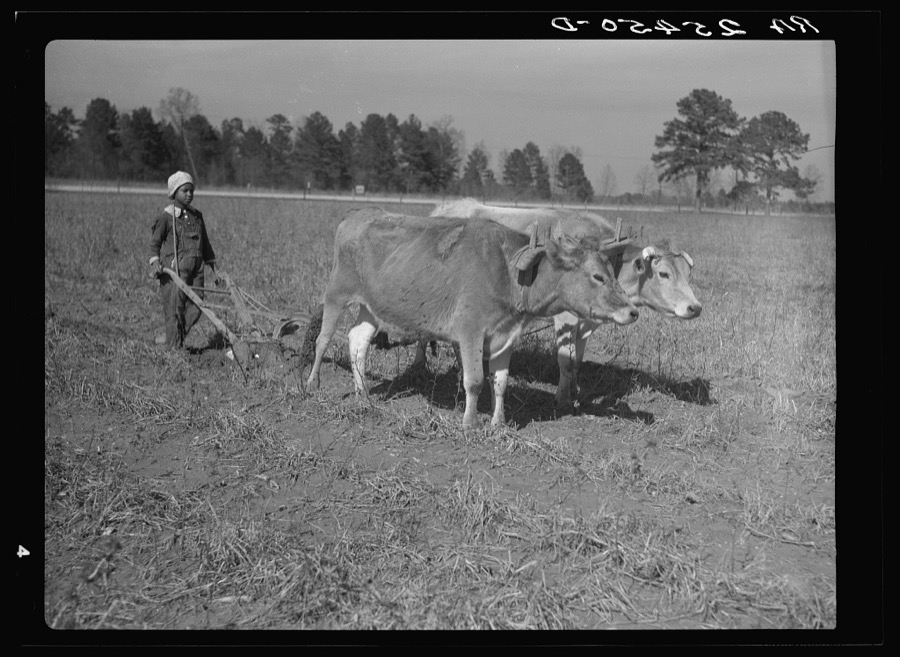
Plowing with oxen. Montgomery County, Alabama
Rothstein, Arthur, 1937. Library of Congress
Montgomery, Alabama. Marvin Johnson, truck driver, with his family
Vachon, John, 1943. Library of Congress
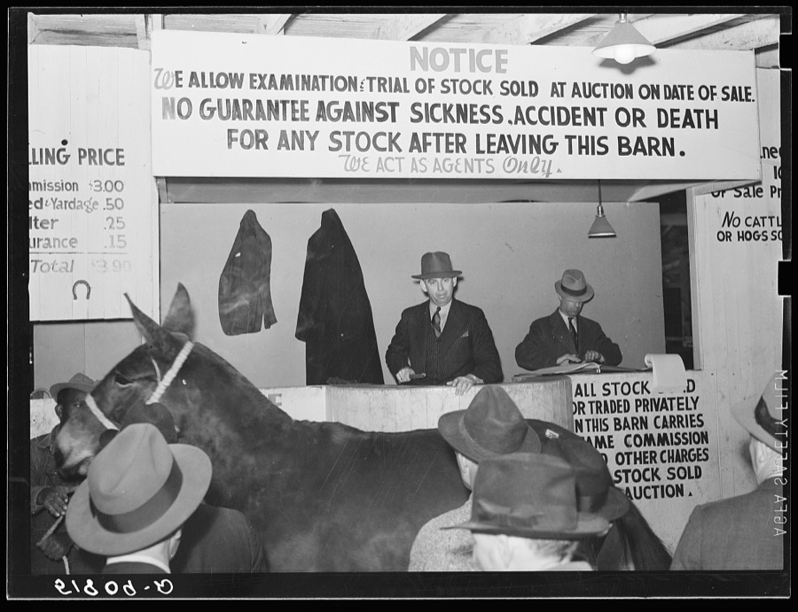
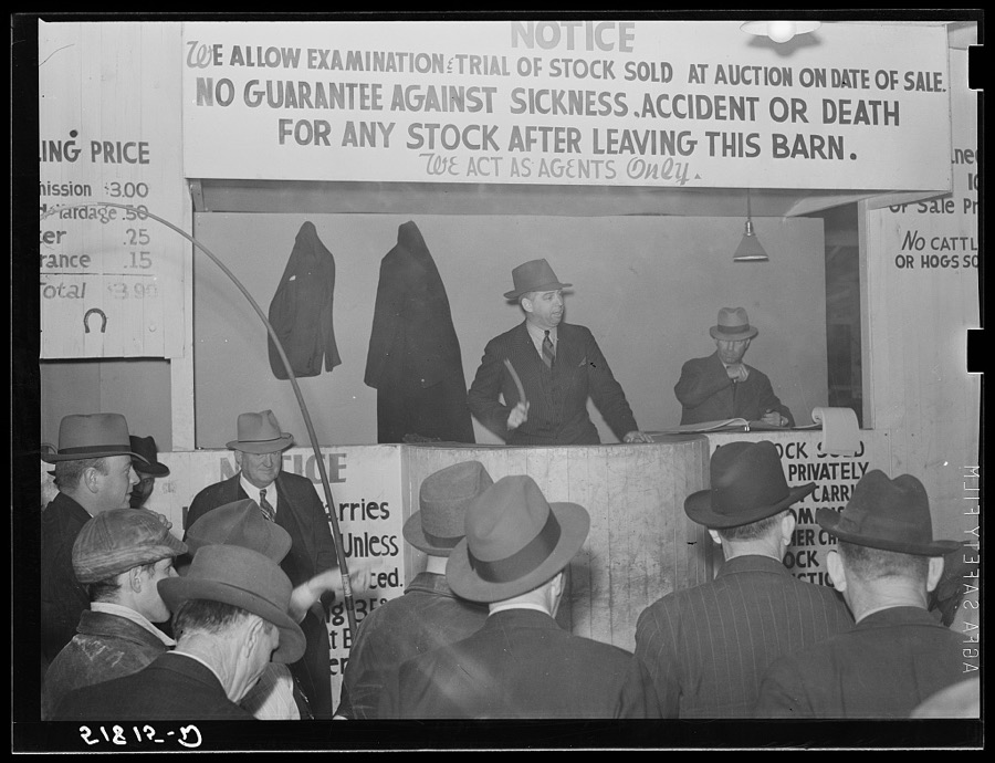
Mule auction in Montgomery, Alabama
Wolcott, Marion Post, 1939. Library of Congress
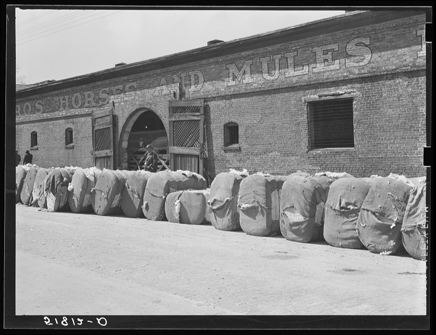
Burst bales of cotton on street in front of stock barn and warehouse. Montgomery, Alabama
Wolcott, Marion Post, 1939. Library of Congress
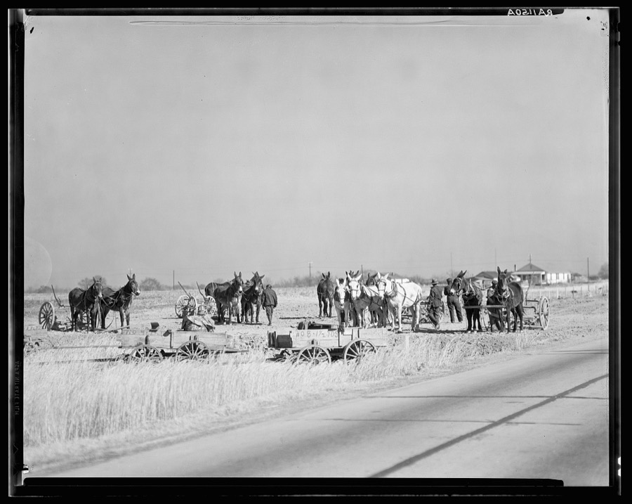
Mule teams near Montgomery, Alabama
Evans, Walker, 1935. Library of Congress
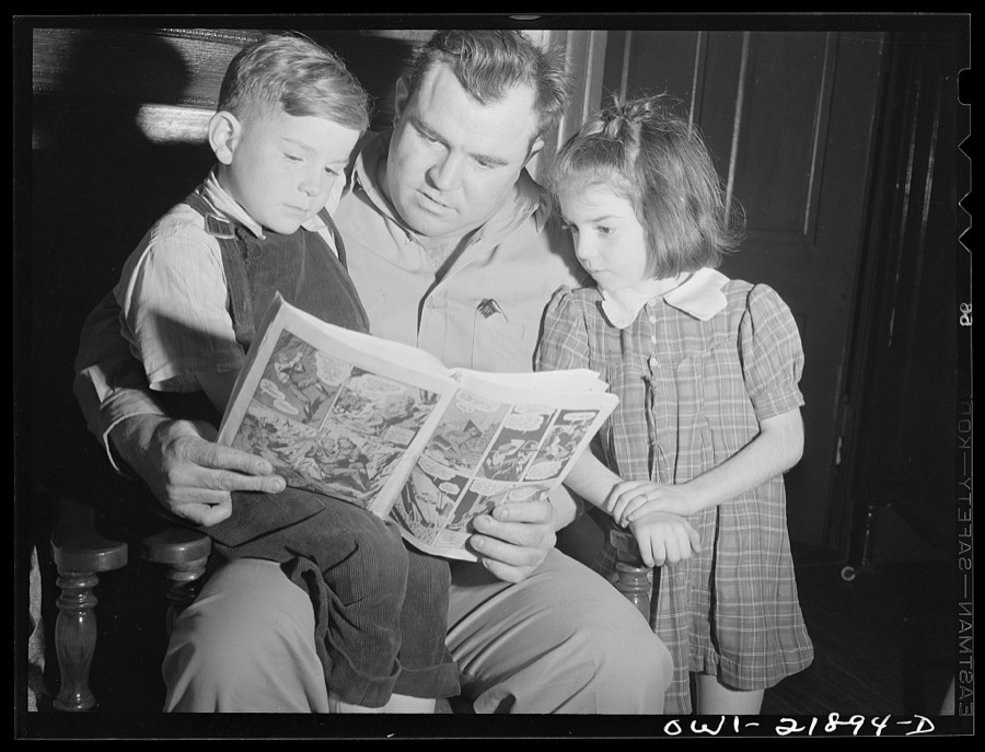
Montgomery, Alabama. Marvin Johnson, truck driver, reading "funnies" to his children
Vachon, John, 1943. Library of Congress
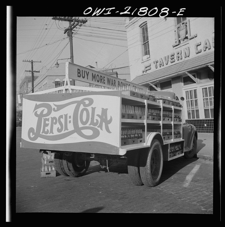
Montgomery, Alabama. Soft drink truck
Vachon, John, 1943. Library of Congress
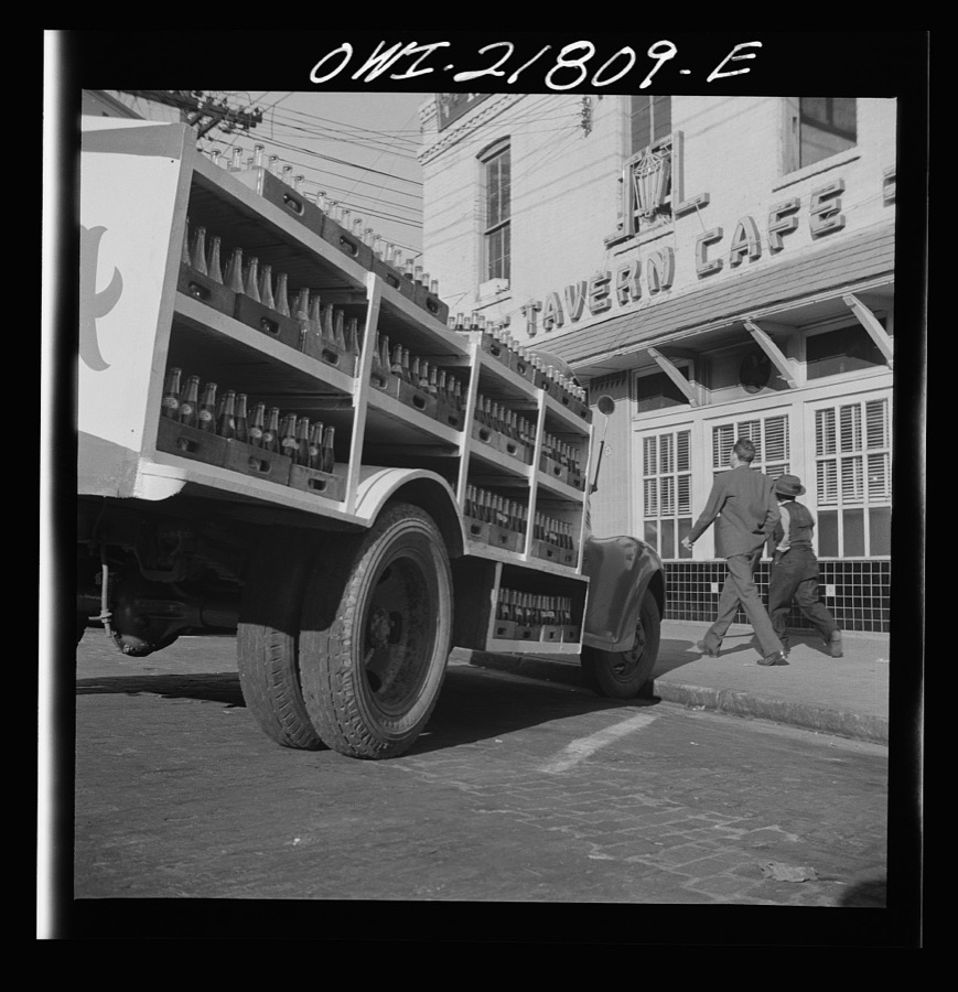
Montgomery, Alabama. Soft drink truck
Vachon, John, 1943. Library of Congress
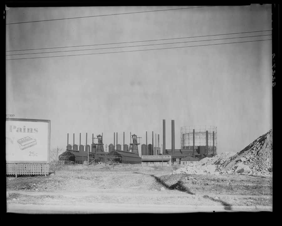
Steel mill. Vicinity of Montgomery, Alabama
Evans, Walker, 1936. Library of Congress
Montgomery, Alabama. Marvin Johnson, truck driver, with his family
Vachon, John, 1943. Library of Congress
Montgomery, Alabama. Marvin Johnson, truck driver
Vachon, John, 1943. Library of Congress
Montgomery, Alabama. Jim Bishop enroute from Atlanta to Montgomery, Alabama on U.S. Highway 29 in Georgia
Vachon, John, 1943. Library of Congress
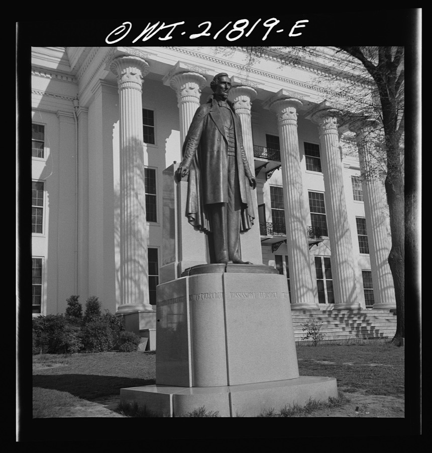
Montgomery, Alabama. Jefferson Davis statue in front of the state capitol
Vachon, John, 1943. Library of Congress
Plowing with oxen. Montgomery County, Alabama
Rothstein, Arthur, 1937. Library of Congress
Stock barn of Montgomery Mule Company, Alabama, on day of big mule auction
Wolcott, Marion Post, 1939. Library of Congress
Montgomery, Alabama. Women shoppers
Vachon, John, 1943. Library of Congress
Mule auction in Montgomery, Alabama
Wolcott, Marion Post, 1939. Library of Congress
Montgomery, Alabama. Jim Bishop enroute from Atlanta to Montgomery, Alabama on U.S. Highway 29 in Georgia
Vachon, John, 1943. Library of Congress
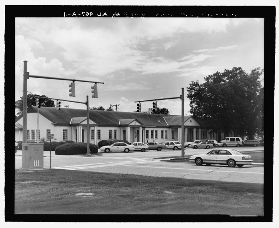
Maxwell Air Force Base, Post Office, 61 West Maxwell Boulevard, Montgomery, Montgomery County, AL
Photographer not recorded. Library of Congress
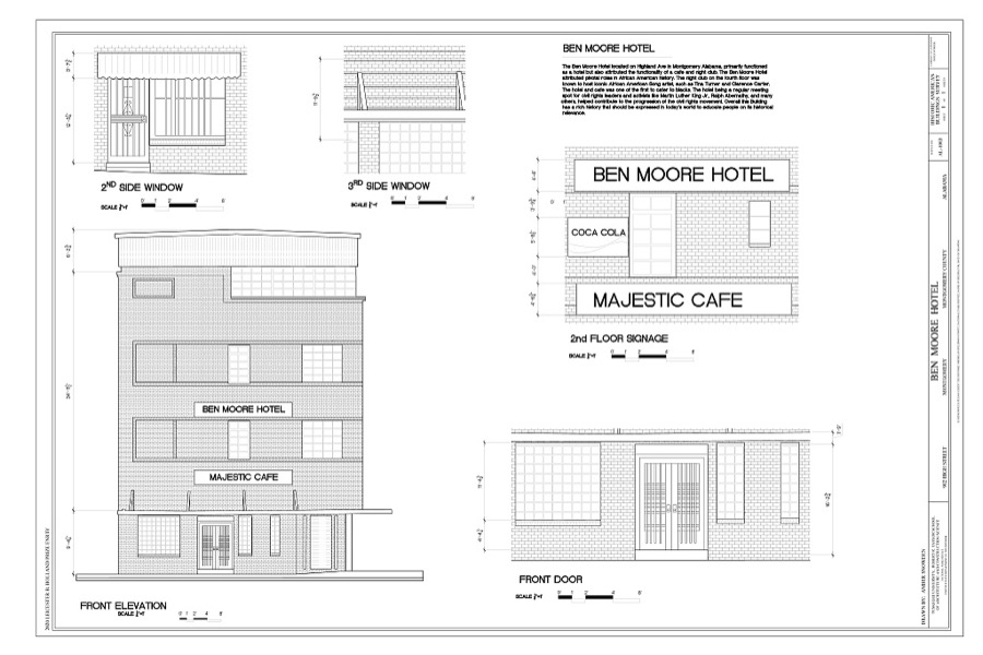
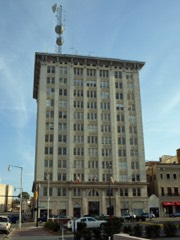
Ben Moore Hotel, 902 High Street, Montgomery, Montgomery County, AL
Photographer not recorded. Library of Congress
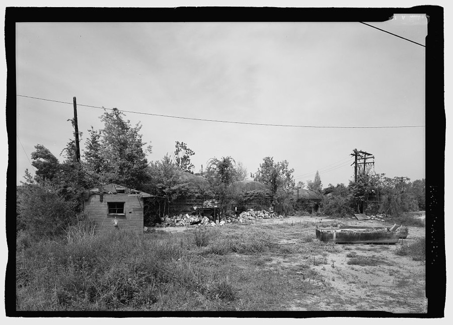
Jenkins Brick Company, Plant No. 2, Furnace Street, Montgomery, Montgomery County, AL
Photographer not recorded. Library of Congress
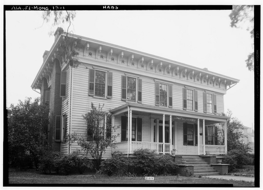
First White House of the Confederacy, 625 Washington Street (moved from Bibb & Lee Streets), Montgomery, Montgomery County, AL
Photographer not recorded. Library of Congress
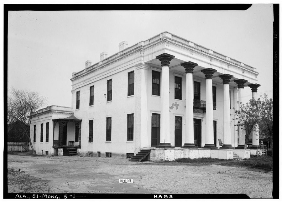
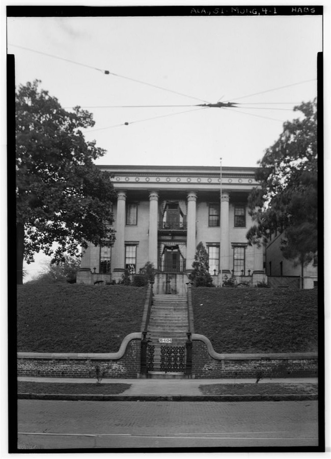
Colonel Charles Teed Pollard House (Mansion), 117 Jefferson Street, Montgomery, Montgomery County, AL
Photographer not recorded. Library of Congress
Harris-Smith House, Church & Catoma Streets, Montgomery, Montgomery County, AL
Photographer not recorded. Library of Congress
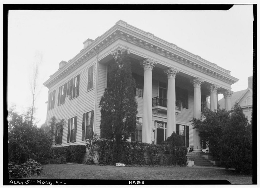
Ray-Branch House, 730 South Court Street, Montgomery, Montgomery County, AL
Photographer not recorded. Library of Congress
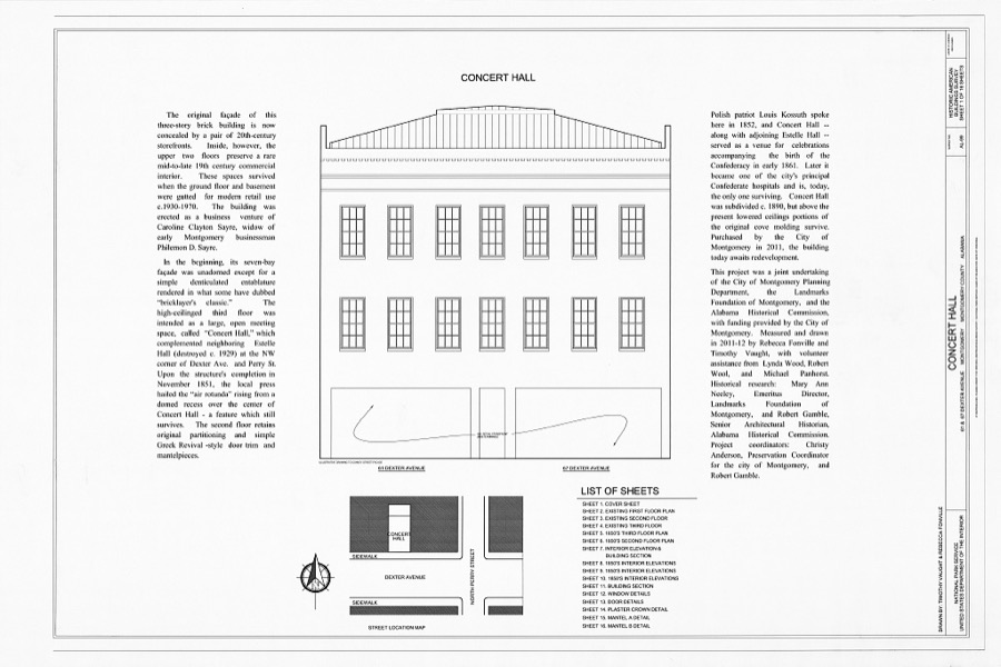
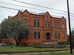
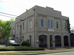
Concert Hall, 61 & 67 Dexter Avenue, Montgomery, Montgomery County, AL
Photographer not recorded. Library of Congress
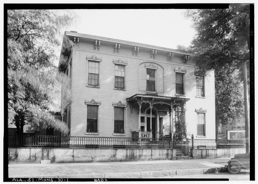
Gerald House, Adams & Lawrence Streets, Montgomery, Montgomery County, AL
Photographer not recorded. Library of Congress

Places on the National Register

71

Every property in this county listed on the National Register of Historic Places, with the year it was listed and the federal nomination document.

Photograph PropertyType ListedReference
Alabama State Capitolbuilding196666000152
Bell Buildingbuilding198181000132
Brame Housebuilding198080000728
Bricklayers Hallbuilding2020100005355
Patrick Henry Brittan Housebuilding197979000393
Building 800-Austin Hallbuilding198887002178
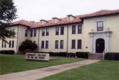
Building 836-Community College of the Air Force Buildingbuilding198887002182
Cassimus Housebuilding197676000349
Centennial Hill Historic Districtdistrict2024100010461
City of St. Jude Historic Districtdistrict199090000916
Cleveland Court Apartments 620-638building200101001167
Cloverdale Historic Districtdistrict198585002161
Cottage Hill Historic Districtdistrict197676000350
Court Square Historic Districtdistrict198282002062
Court Square Urban Renewal Area Historic Districtdistrict2024100011227
Court Square-Dexter Avenue Historic District (Boundary Increase)district198484000697
Jefferson Davis Hotelbuilding197975000324
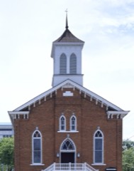
Dexter Avenue Baptist Churchbuilding197474000431
Dowe Historic Districtbuilding198888003076
Edgewoodbuilding197373000367
First Baptist Churchbuilding2024100010460
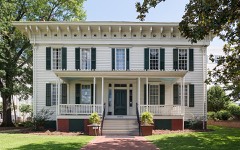
First White House of the Confederacybuilding197474000432
G.W. Trenholm Hallbuilding199898001228
Garden Districtdistrict198484000698
Gay Housebuilding197575000325
Gerald-Dowdell Housebuilding198080000729
Governor's Mansionbuilding197272000172
Grace Episcopal Churchbuilding198282002067
Grove Court Apartmentsbuilding201313000894
Huntingdon College Campus Historic Districtdistrict200000000138
Jefferson Franklin Jackson Housebuilding198484000711
Gov. Thomas G. Jones Housebuilding197878000506
Lower Commerce Street Historic Districtdistrict197979000395
Lower Commerce Street Historic District (Boundary Increase)district198282002063
Lower Commerce Street Historic District (Boundary Increase)district198786001529
Maxwell Air Force Base Senior Officer's Quarters Historic Districtdistrict198887002177
McBryde-Screws-Tyson Housebuilding198080000730
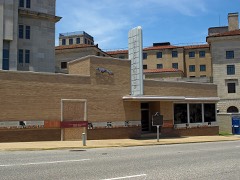
Montgomery Greyhound Bus Stationbuilding201111000298
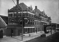
Montgomery Union Station and Trainshedstructure197373000368
Montgomery Veterans Administration Hospital Historic Districtdistrict201212000141
Moore Buildingbuilding2024100010582
Mt. Zion AME Zion Churchbuilding200202001066
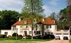
Murphy House, Thebuilding197272000173
Old Ship African Methodist Episcopal Zion Churchbuilding199190002177
Opp Cottagebuilding197676000351
Ordeman-Shaw Historic Districtdistrict197171000105
Pastorium, Dexter Avenue Baptist Churchbuilding198282002064
Peacock Tract Historic Districtdistrict2025100011302
Pepperman Housebuilding198282002065
Powder Magazinebuilding197373000370
Sayre Street Schoolbuilding198282002066
Scott Street Firehousebuilding198181000133
Semple Housebuilding197272000174
Shepherd Buildingbuilding198686001106
Smith-Joseph-Stratton Housebuilding198585000736
South Perry Street Historic Districtdistrict198484000713
St. John's Episcopal Churchbuilding197575000326
Stay Housebuilding197979000396
Steiner-Lobman and Teague Hardware Buildingsbuilding197979000397
Stone Plantationbuilding200101001411
Tankersley Rosenwald Schoolbuilding200908001332
Teague Housebuilding197171000106
Dr. C. A. Thigpen Housebuilding197777000215
Tulane Buildingbuilding197979000398
Tyson-Maner Housebuilding197979000399
United States Post Office and Courthouse-Montgomerybuilding199898000611
Wharton-Chappell Housebuilding201616000445
Winter Buildingbuilding197272000175
Winter Placebuilding200606000439
William Lowndes Yancey Law Officebuilding197373000371

Digitised newspapers

6 issues

Sampled issues, machine-read from the Library of Congress scan and published page by page, so every headline and column is searchable text.

The Montgomery Enterprise

Montgomery, Ala., 1898 to 1???. Machine-read from the Library of Congress scan.

The Montgomery Advertiser

Montgomery, Ala., 1885 to 1982. Machine-read from the Library of Congress scan.

Bird's-eye views and land ownership maps

1

Drawn when these were printed as single large sheets: the town seen from the air, and the county divided into its farms with every owner named. Each opens the original at the Library of Congress.

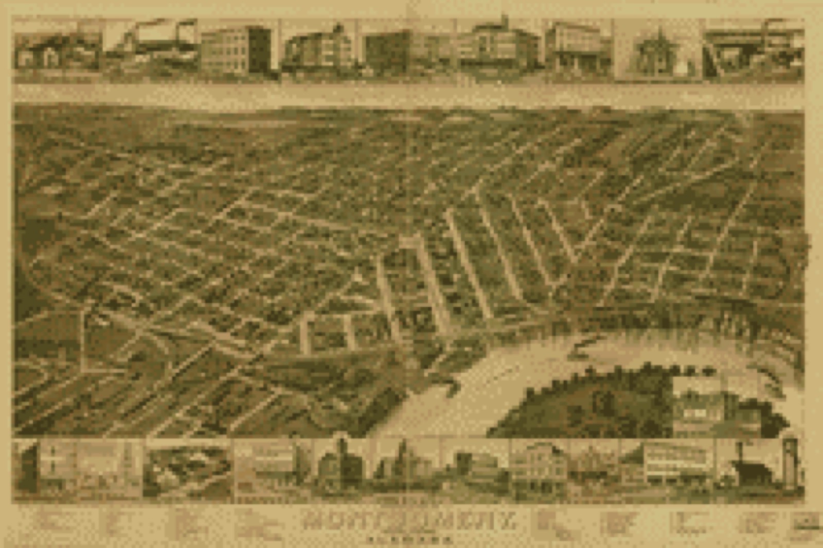
Bird's-eye view, 1887 - Perspective map of Montgomery, State capital of Alabama
Bird's-eye view (1887) - Perspective map of Montgomery, State capital of Alabama. Library of Congress.

Photographs from libraries nationwide

15 of 85 shown

Selected from the Digital Public Library of America's 85 image records catalogued for this county. Every one shown here carries a public-domain status or a licence that permits reuse on a site that carries advertising; non-commercial, share-alike and restricted images are excluded. The selection is spread across the county's towns (at most eight per town), so no single institution's bulk upload crowds out the rest. Each opens the holding library's record, and the complete set at the Digital Public Library of America is one click away.

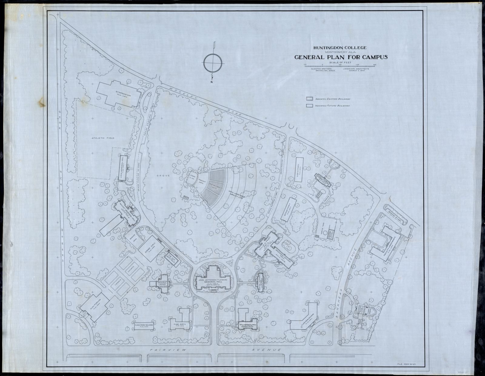
HUNT. COLL./ MONT., ALA./ GENERAL PLAN FOR CAMPUS/ ; SCALE 1" = 50', Frederick Law Olmsted National Historic Site - undated
HUNT. COLL./ MONT., ALA./ GENERAL PLAN FOR CAMPUS/ ; SCALE 1" = 50'. Frederick Law Olmsted National Historic Site, via the Digital Public Library of America.
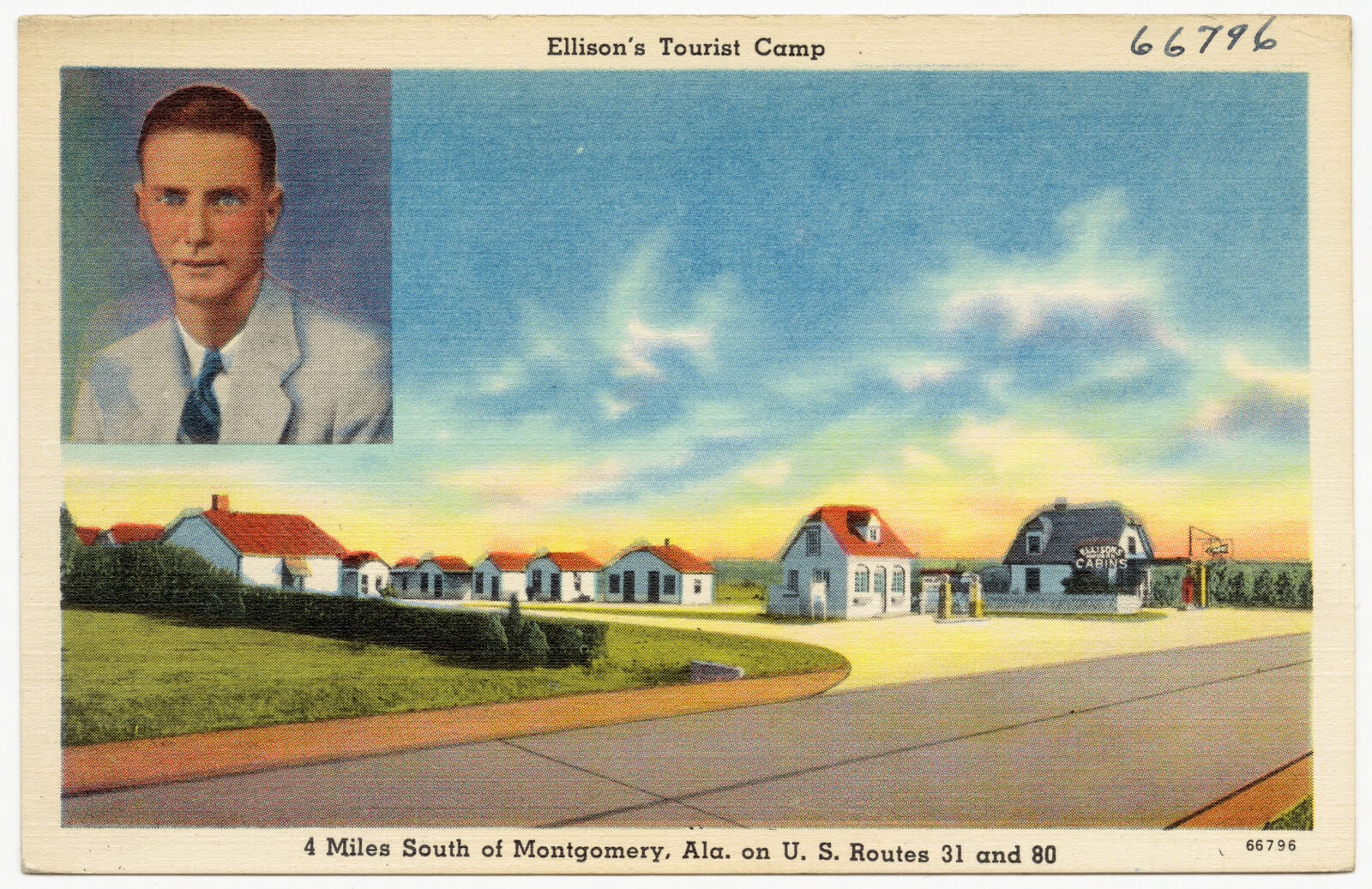
Ellison's Tourist Camp, Boston Public Library - undated
Ellison's Tourist Camp. Boston Public Library, via the Digital Public Library of America.
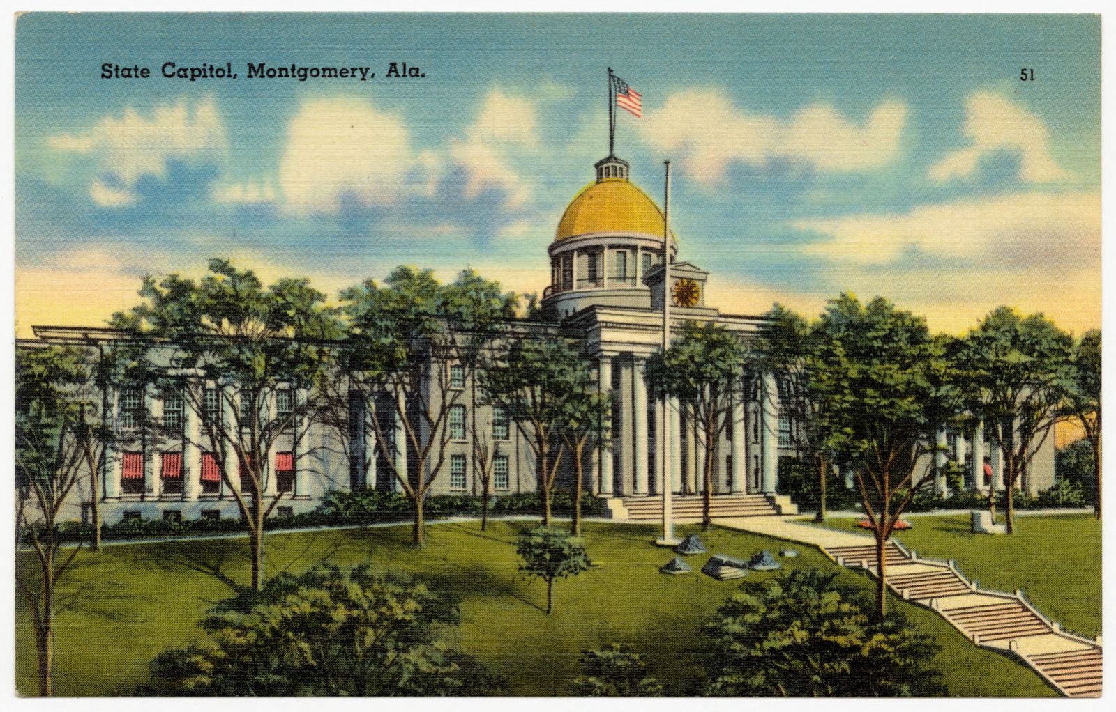
State Capitol, Montgomery, Ala., Boston Public Library - undated
State Capitol, Montgomery, Ala.. Boston Public Library, via the Digital Public Library of America.
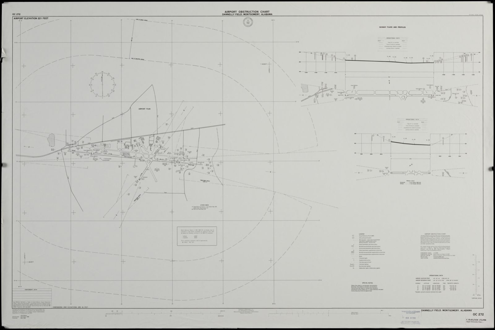
Airport obstruction chart OC 272, Dannelly Field, Montgomery, Alabama, Boston Public Library - undated
Airport obstruction chart OC 272, Dannelly Field, Montgomery, Alabama. United States. National Ocean Service, Boston Public Library, via the Digital Public Library of America.
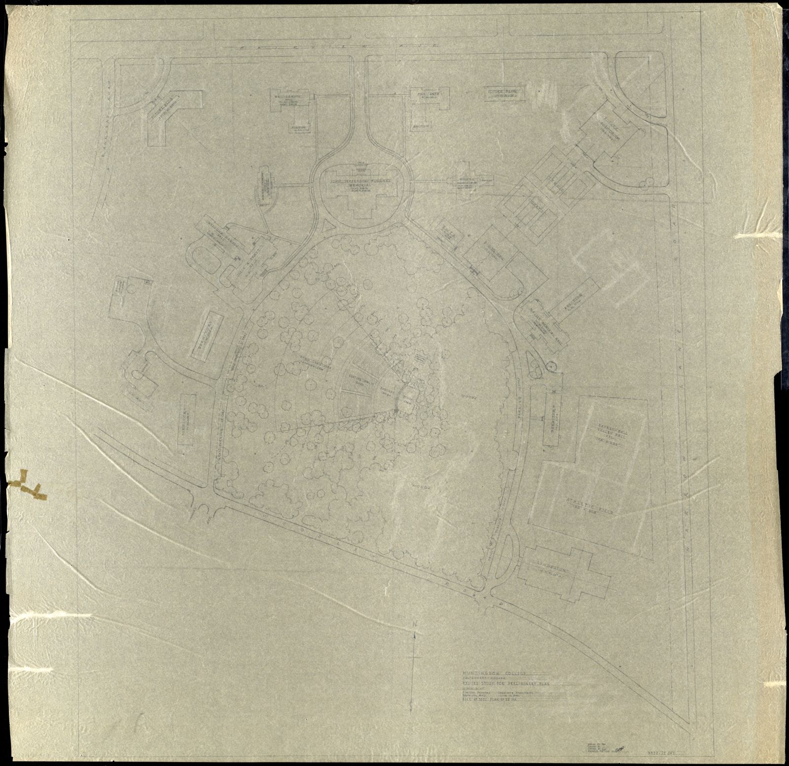
HUNT. COLL./ MONT., ALA./ REVISED STUDY FOR PRELIM. PLAN/ ; SCALE 1" = 50', Frederick Law Olmsted National Historic Site - undated
HUNT. COLL./ MONT., ALA./ REVISED STUDY FOR PRELIM. PLAN/ ; SCALE 1" = 50'. Woodberry, Gordon, Frederick Law Olmsted National Historic Site, via the Digital Public Library of America.
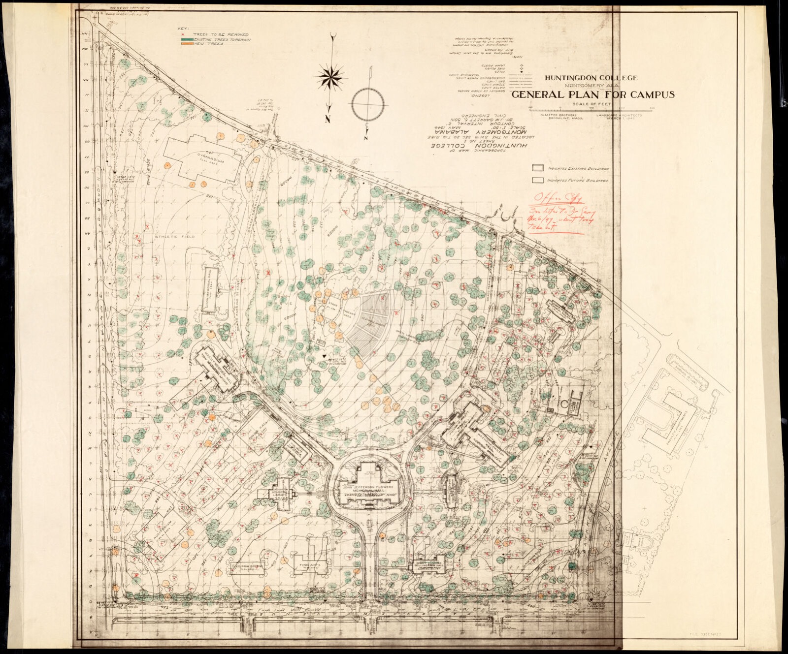
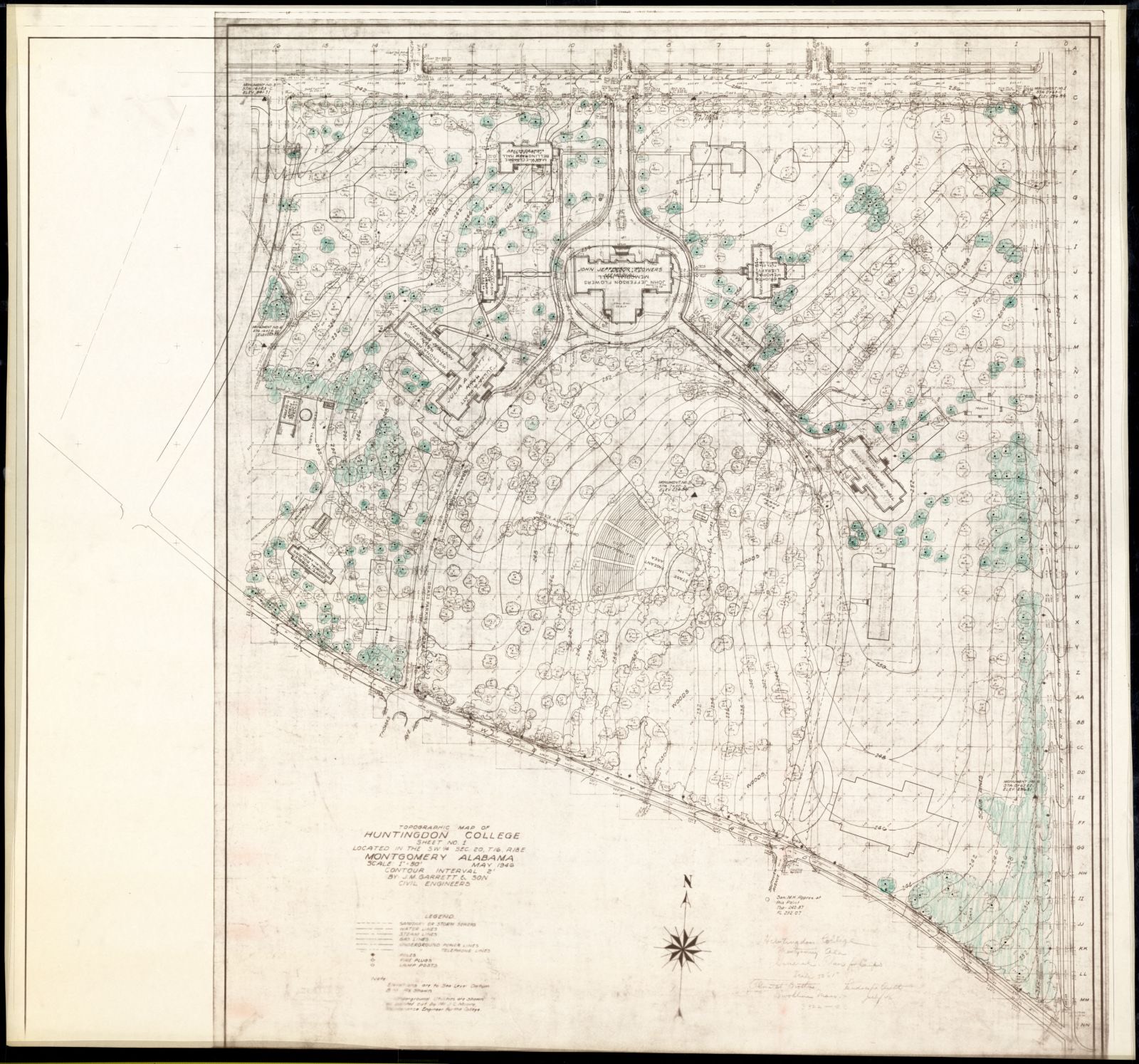
HUNT. COLL./ GENERAL PLAN FOR CAMPUS/ TOPO MAP OF HUNT. COLLEGE/ SHEET # 1/ LOCATED S.W. 1/4 SECT. 20, T16, R18E/ ; SCALE 1"= 50', Frederick Law Olmsted National Historic Site - undated
HUNT. COLL./ GENERAL PLAN FOR CAMPUS/ TOPO MAP OF HUNT. COLLEGE/ SHEET # 1/ LOCATED S.W. 1/4 SECT. 20, T16, R18E/ ; SCALE 1"= 50'. Frederick Law Olmsted National Historic Site, via the Digital Public Library of America.
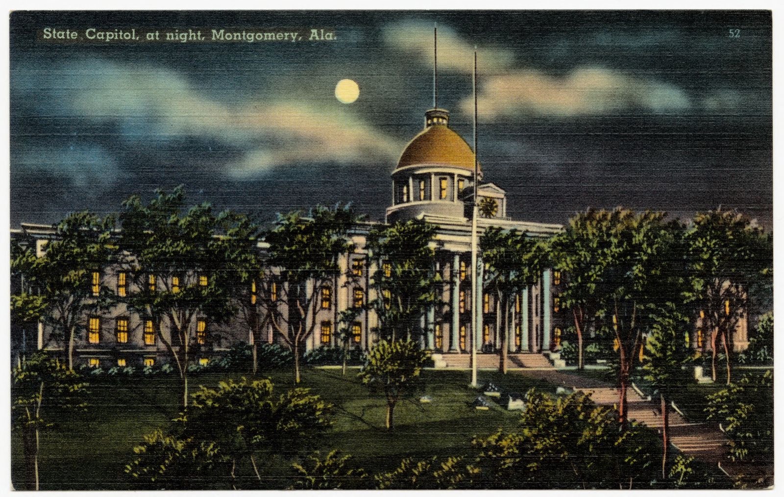
State Capitol at night, Montgomery, Ala., Boston Public Library - undated
State Capitol at night, Montgomery, Ala.. Boston Public Library, via the Digital Public Library of America.
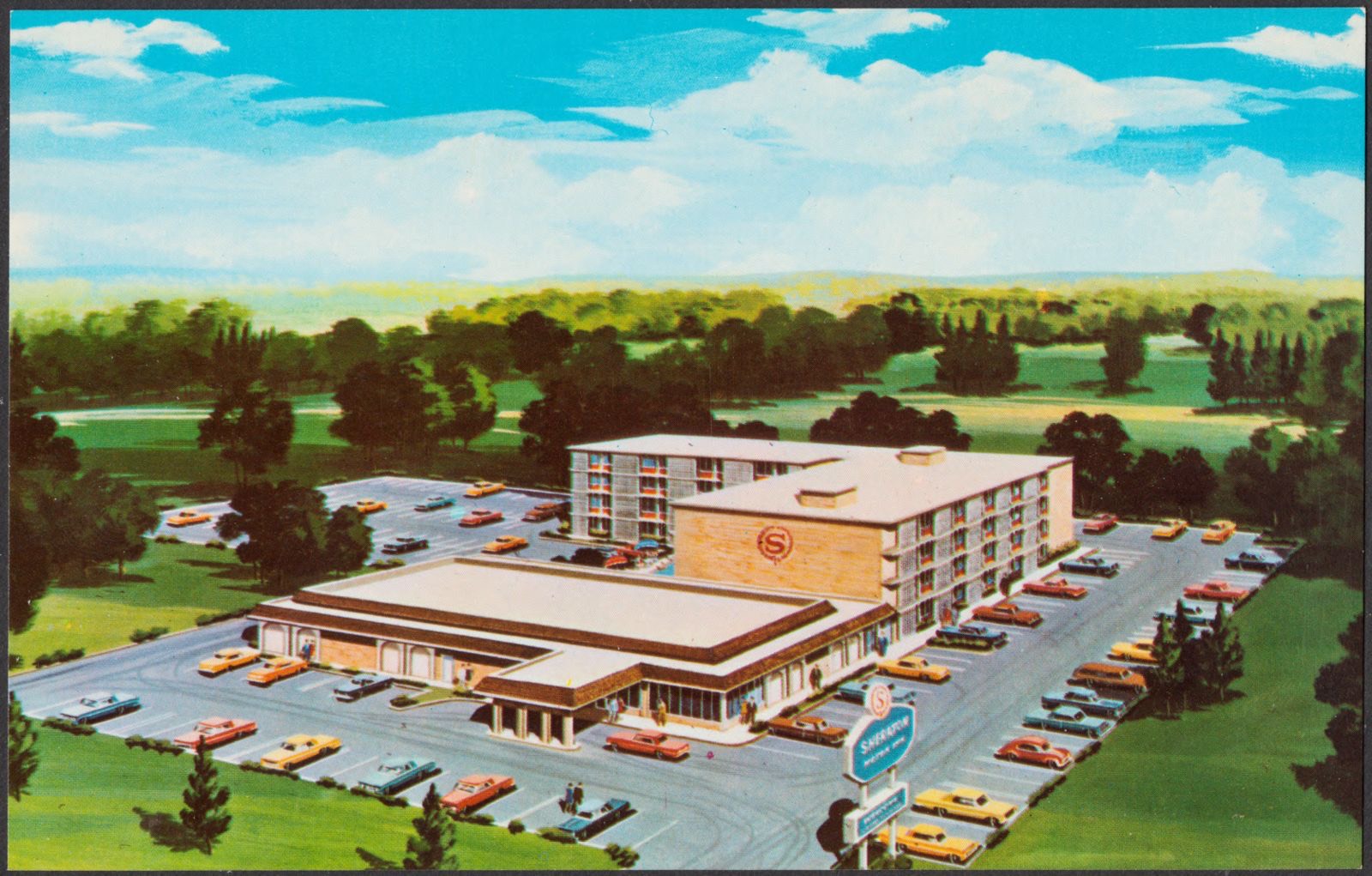
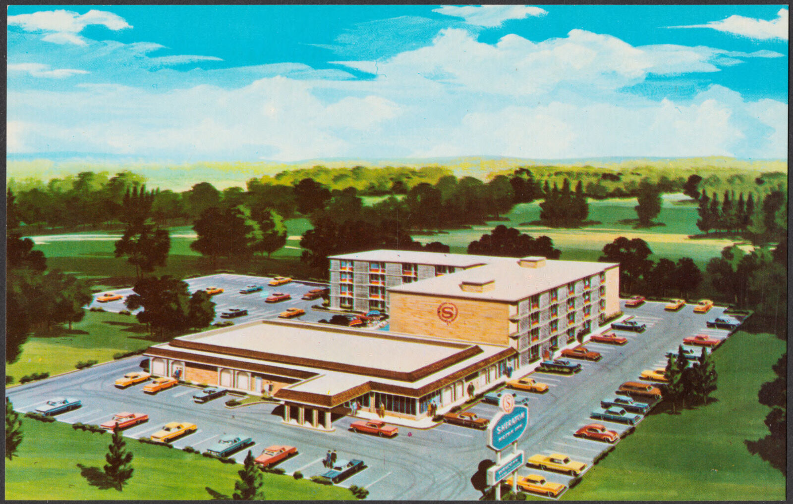
Sheraton Motor Inn, 1100 I-65 at West South Boulevard, Montgomery, Alabama 36105, Boston Public Library - undated
Sheraton Motor Inn, 1100 I-65 at West South Boulevard, Montgomery, Alabama 36105. Boston Public Library, via the Digital Public Library of America.
HUNT. COLL./ GENERAL PLAN FOR CAMPUS/ ; SCALE 1"= 50', Frederick Law Olmsted National Historic Site - undated
HUNT. COLL./ GENERAL PLAN FOR CAMPUS/ ; SCALE 1"= 50'. Frederick Law Olmsted National Historic Site, via the Digital Public Library of America.
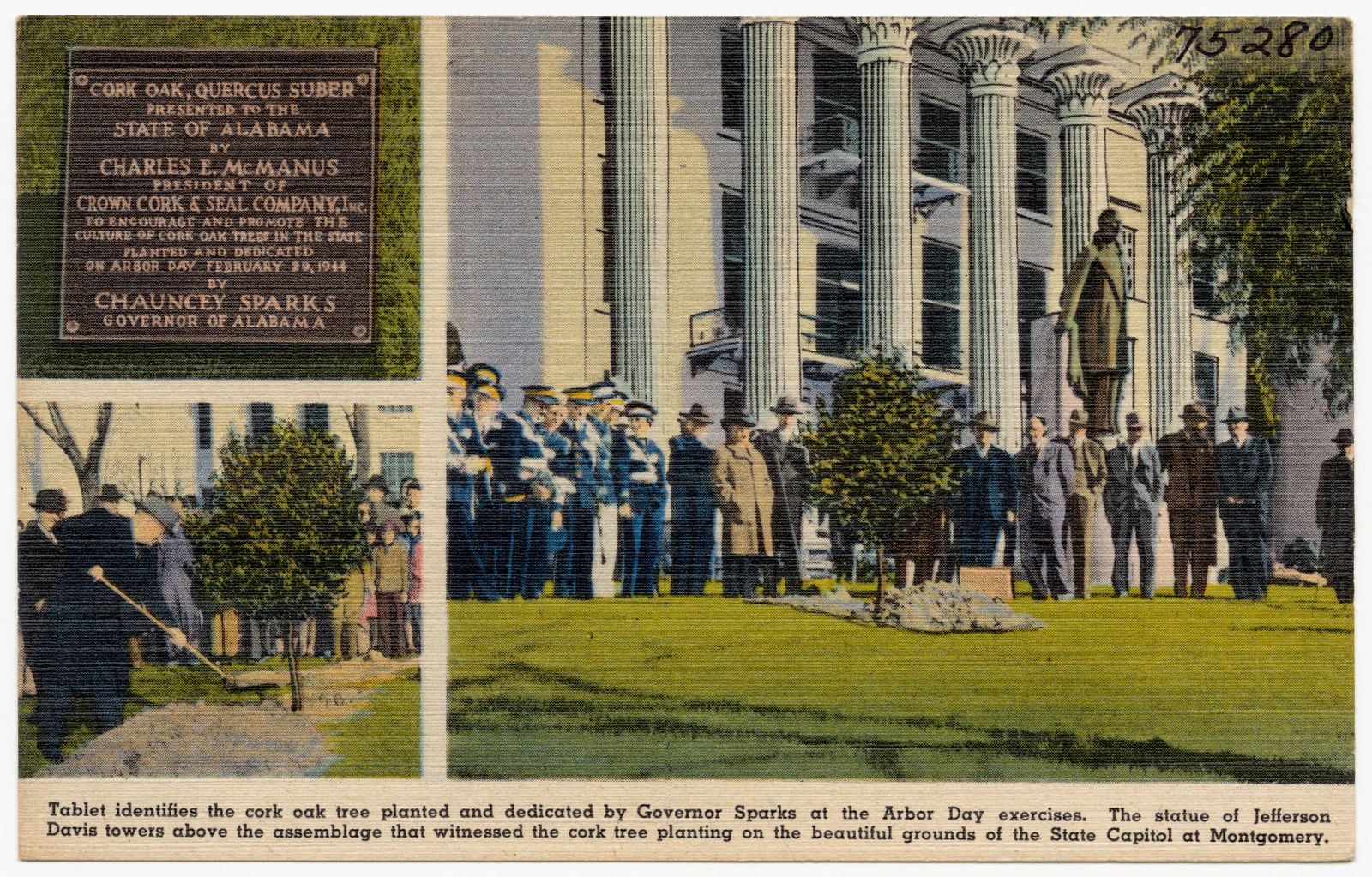
Tablet identifies the cork oak tree planted and dedicated by Governor Sparks at the Arbor Day exercises., Boston Public Library - undated
Tablet identifies the cork oak tree planted and dedicated by Governor Sparks at the Arbor Day exercises.. Boston Public Library, via the Digital Public Library of America.
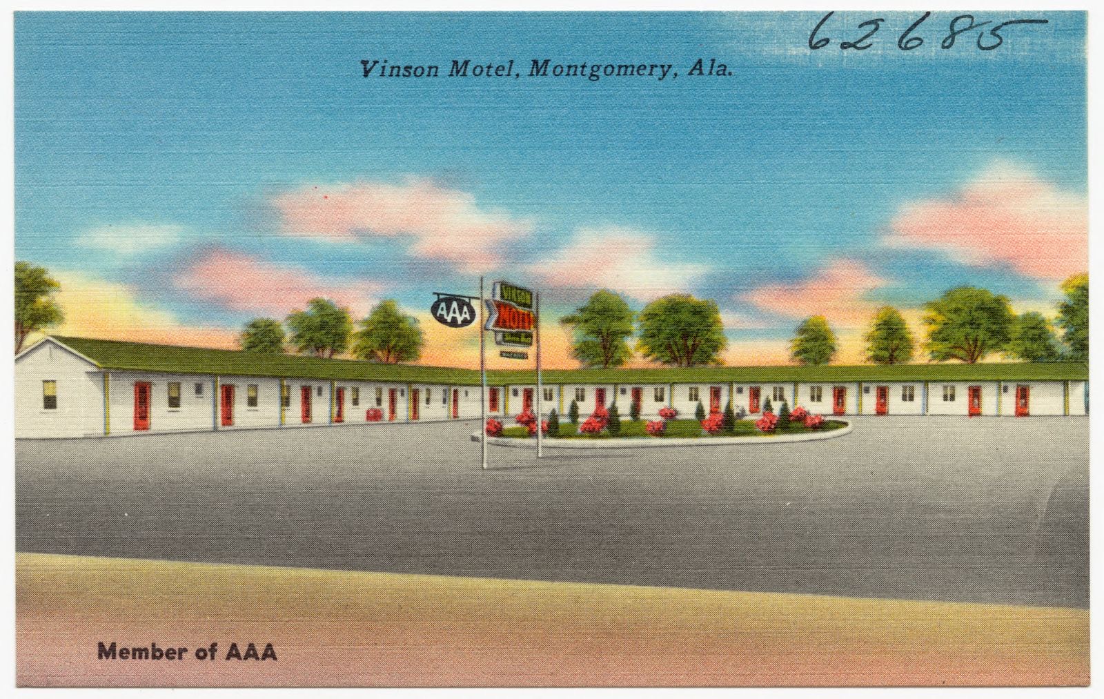
Vinson Motel, Montgomery, Ala., Boston Public Library - undated
Vinson Motel, Montgomery, Ala.. Boston Public Library, via the Digital Public Library of America.
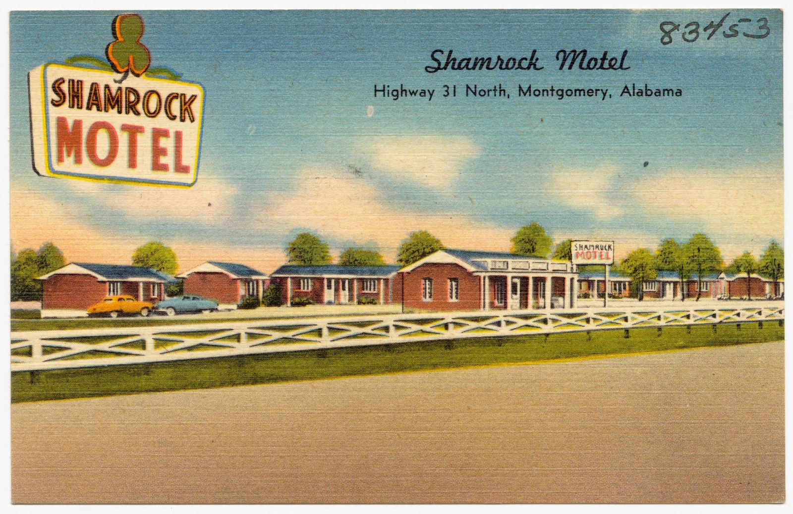
Shamrock Motel, Boston Public Library - undated
Shamrock Motel. Boston Public Library, via the Digital Public Library of America.
Sheraton Motor Inn, 1100 I-65 at West South Boulevard, Montgomery, Alabama 36105, Boston Public Library - undated
Sheraton Motor Inn, 1100 I-65 at West South Boulevard, Montgomery, Alabama 36105. Boston Public Library, via the Digital Public Library of America.
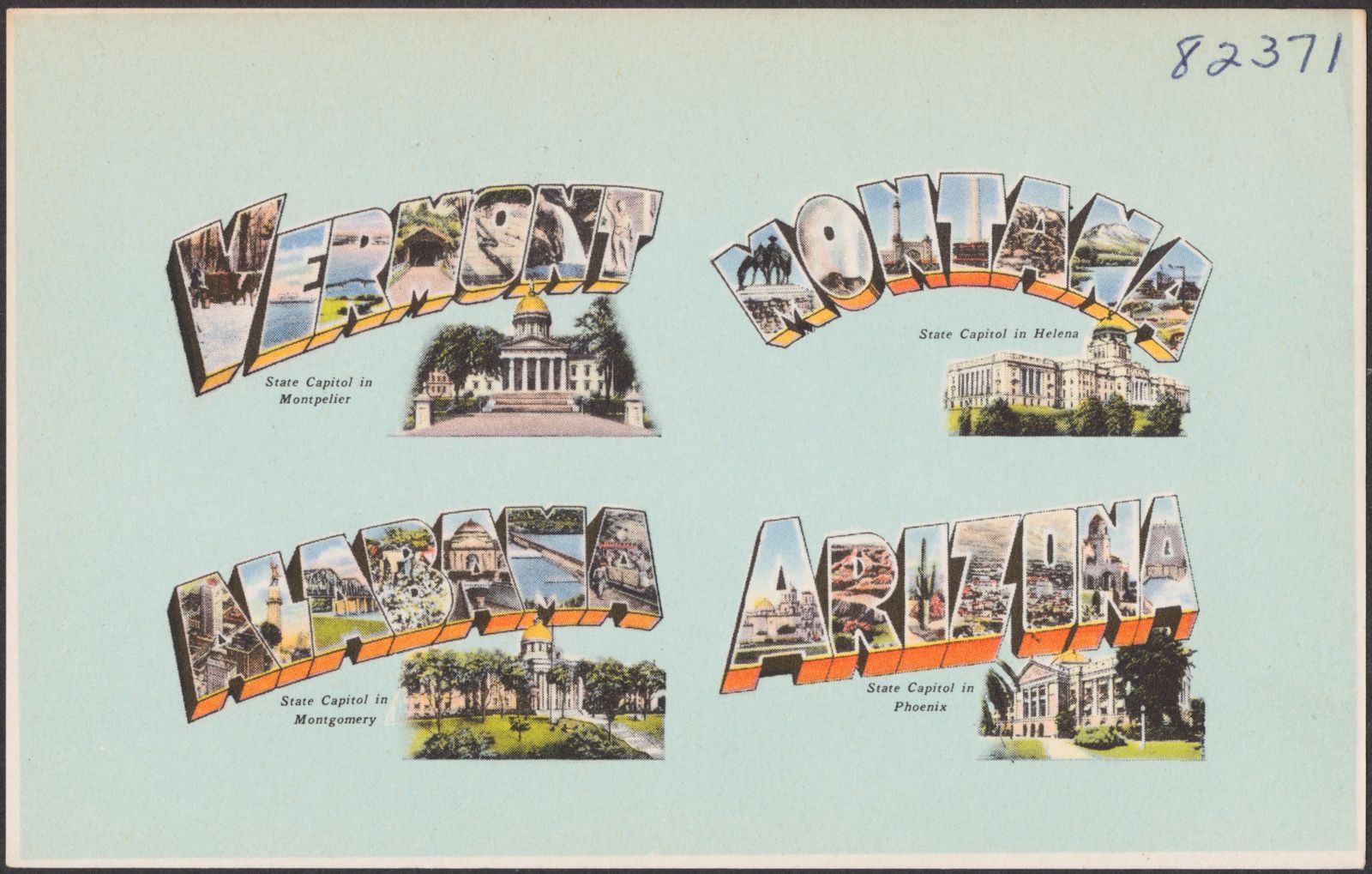
Vermont. Montana. Alabama. Arizona, Boston Public Library - undated
Vermont. Montana. Alabama. Arizona. Boston Public Library, via the Digital Public Library of America.
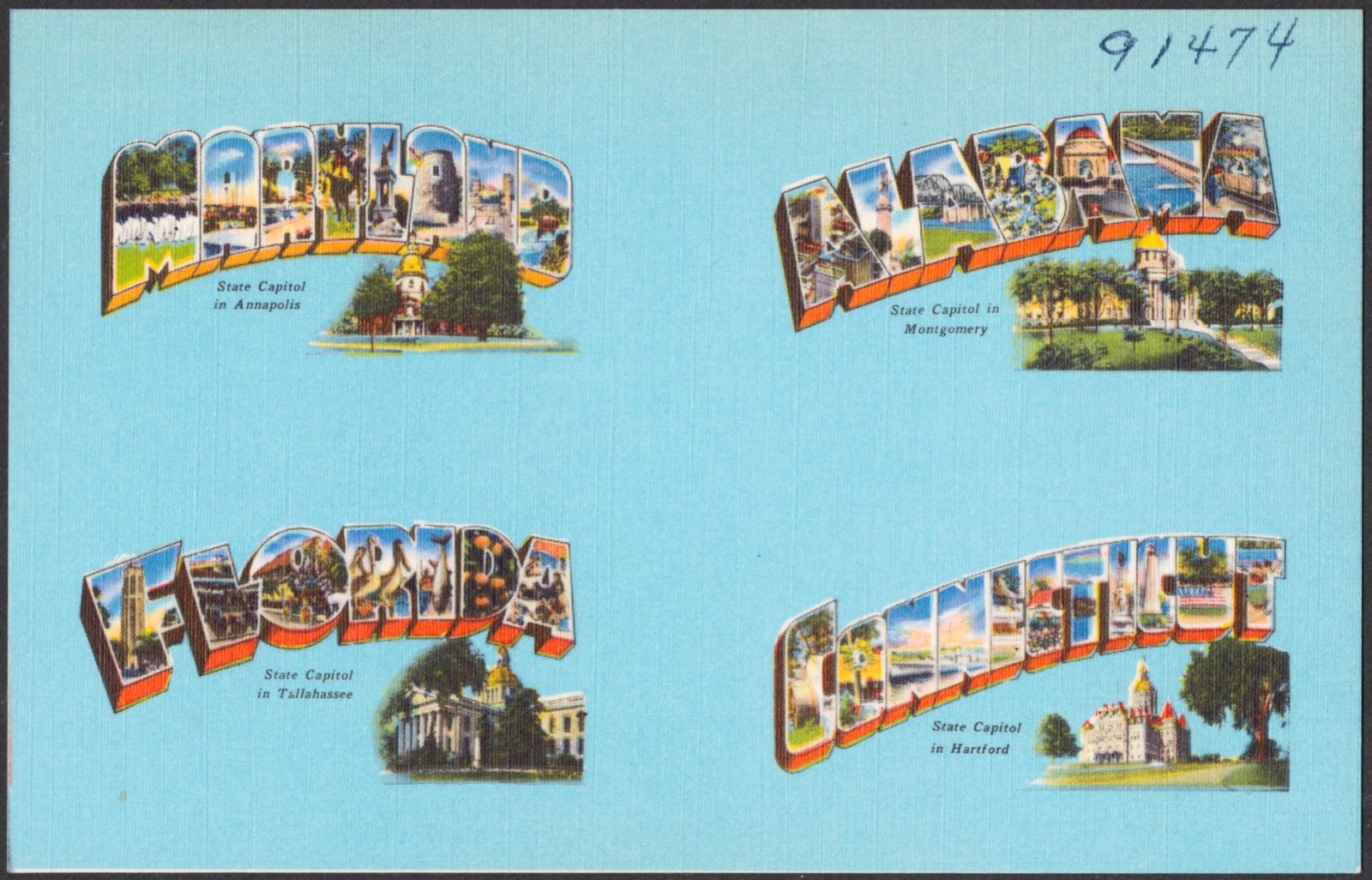
Maryland. Alabama. Florida. Connecticut, Boston Public Library - undated
Maryland. Alabama. Florida. Connecticut. Boston Public Library, via the Digital Public Library of America.

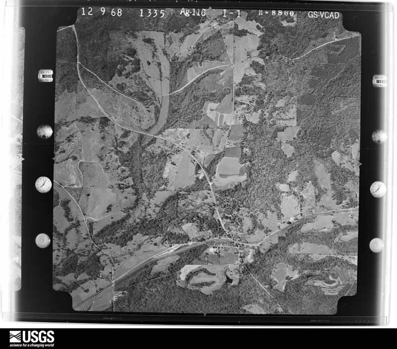
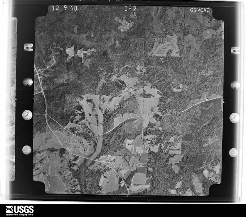
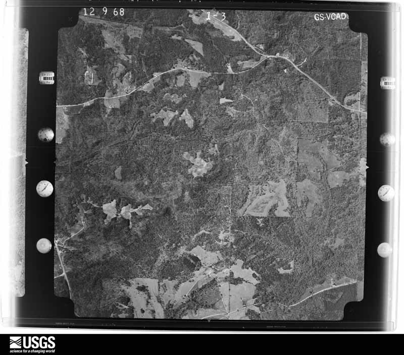
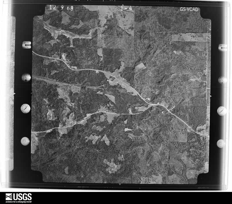
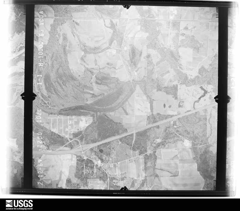
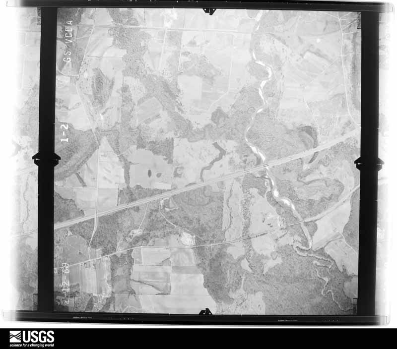
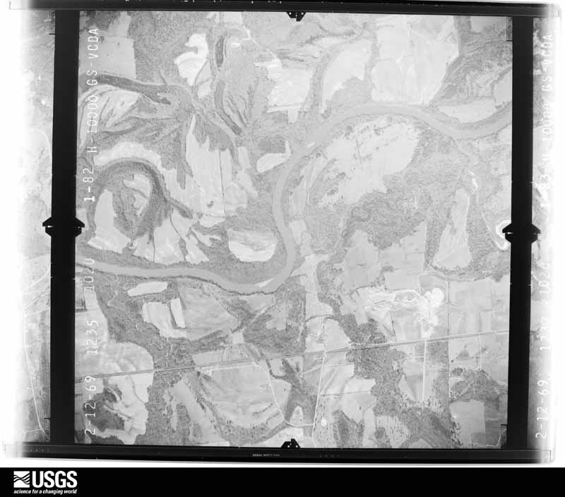
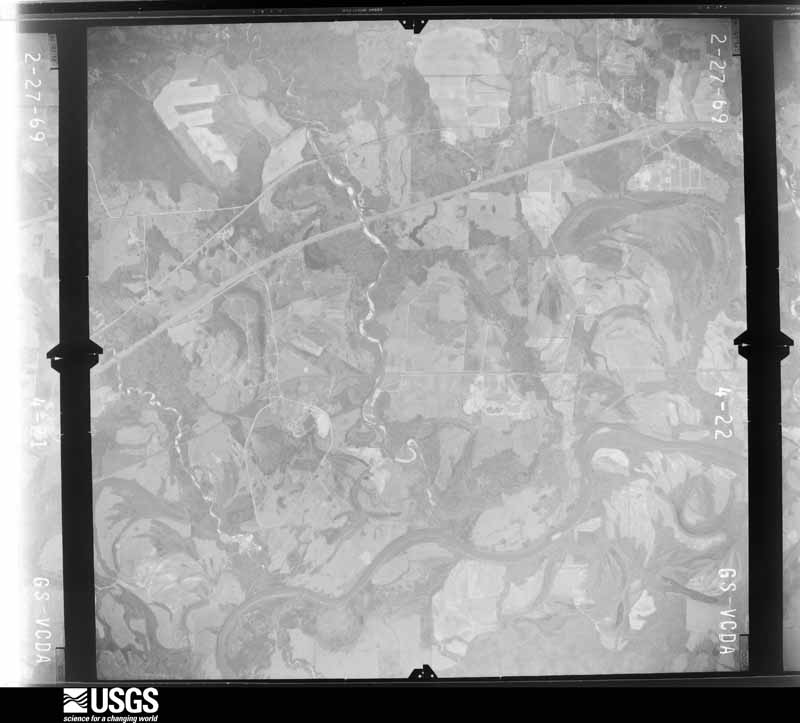
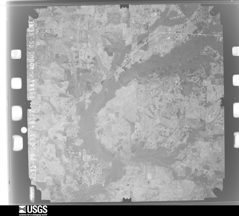
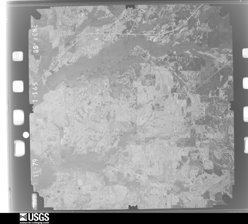
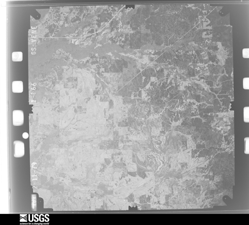
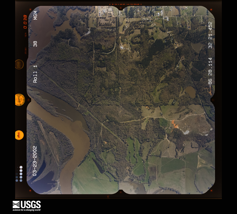
The county from the air

41 shown

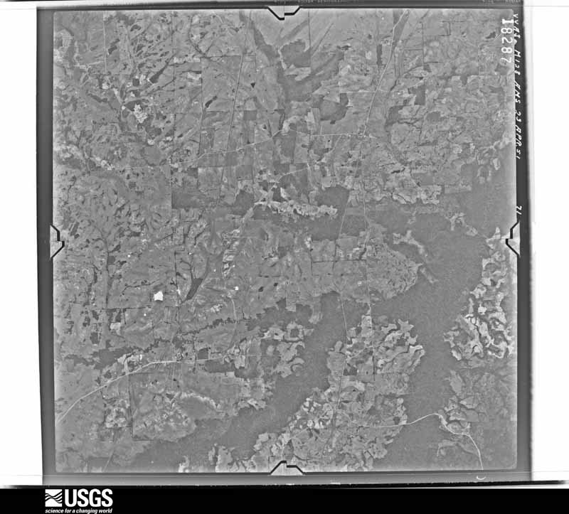
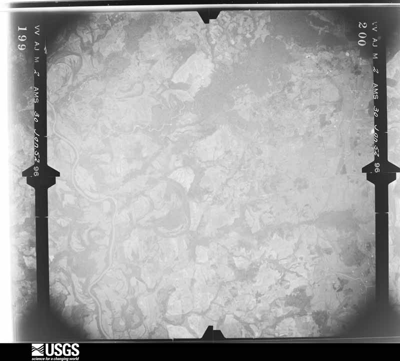
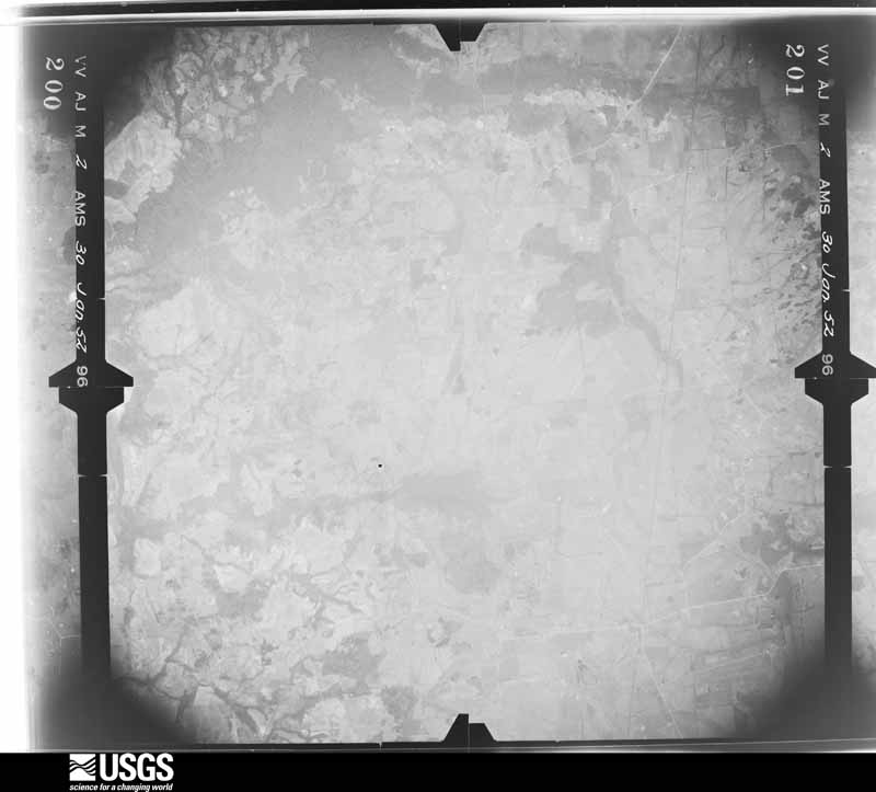
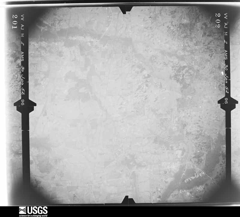
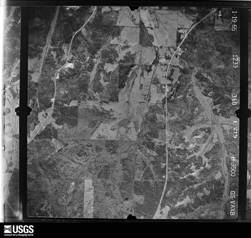
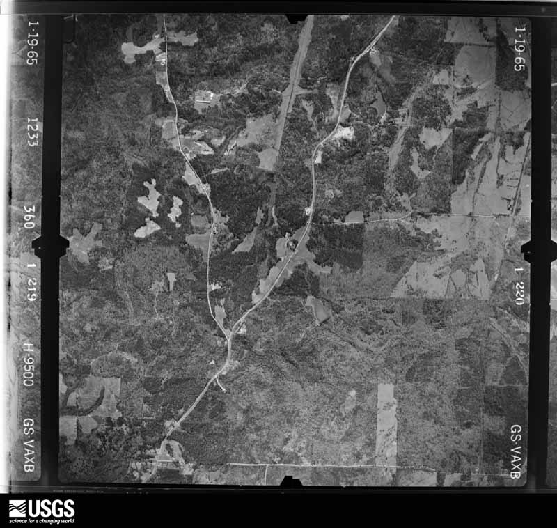
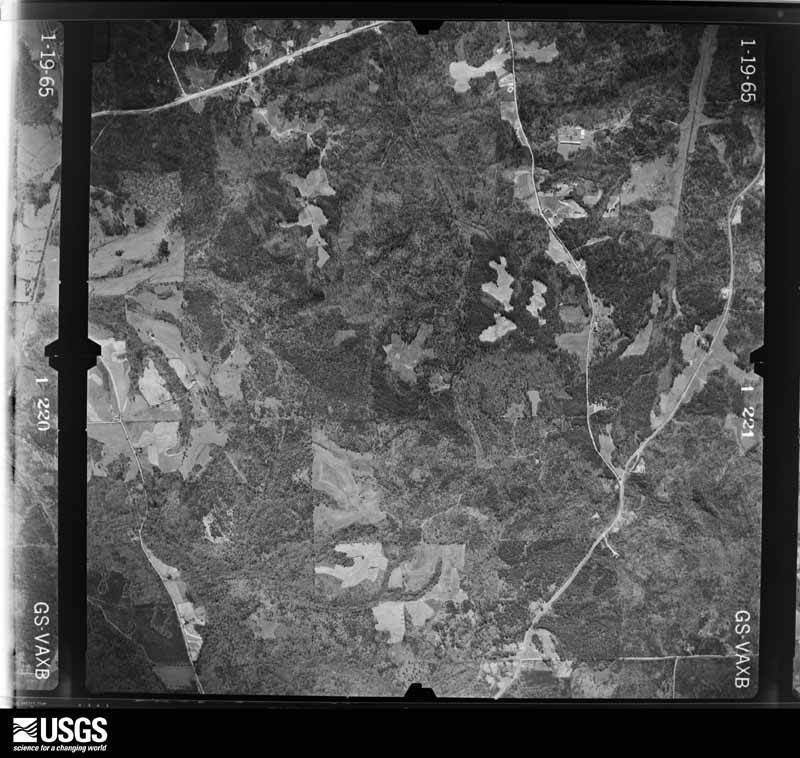
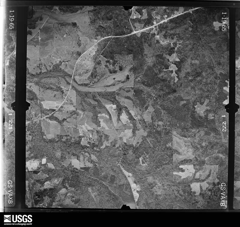
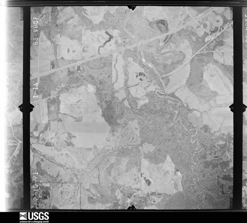
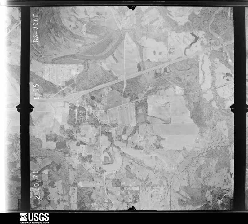
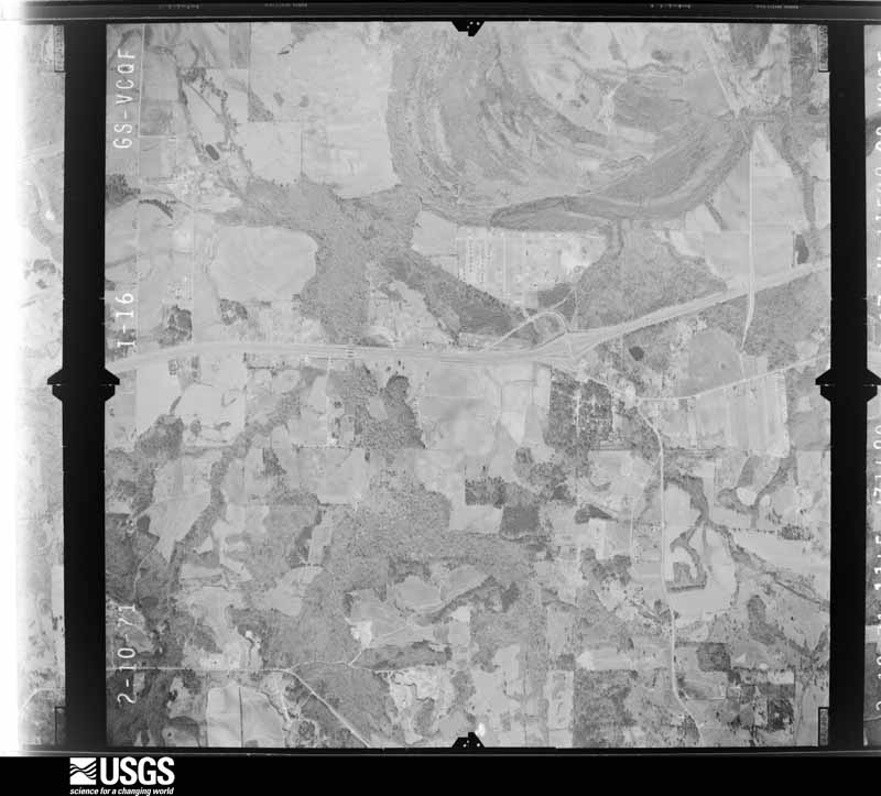
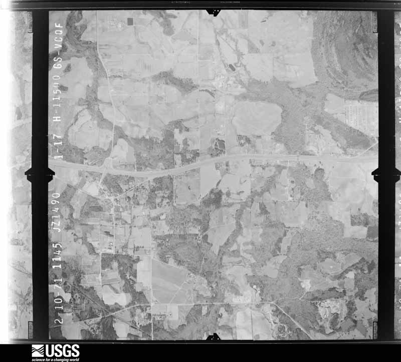
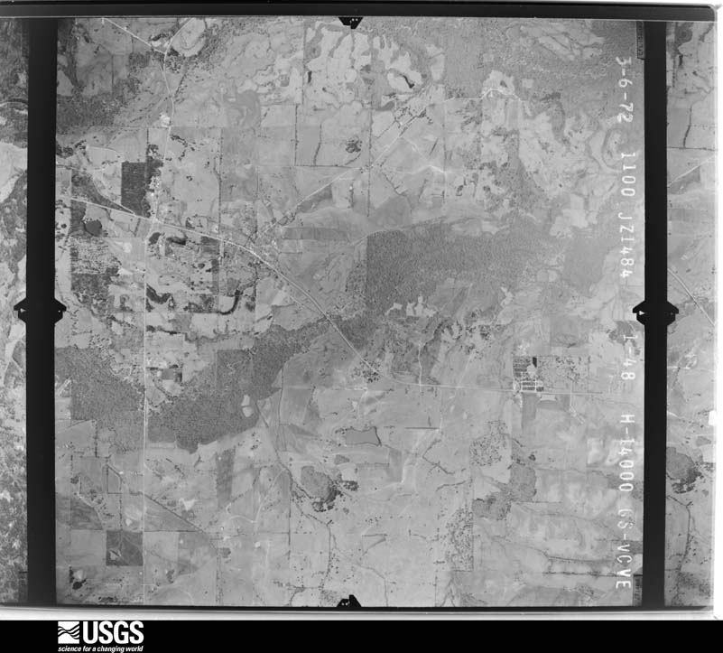
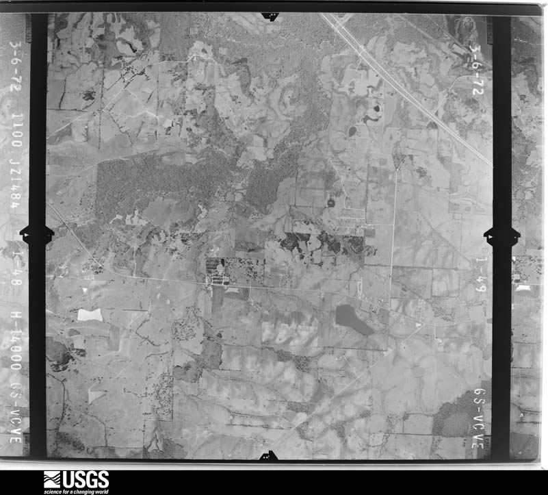
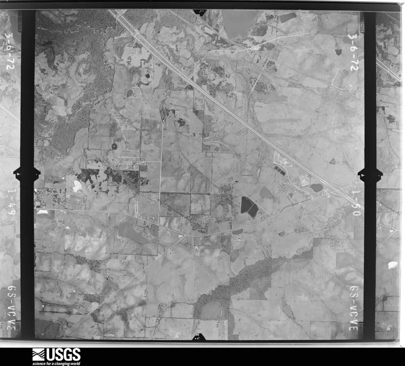
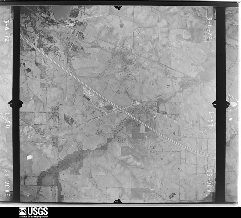
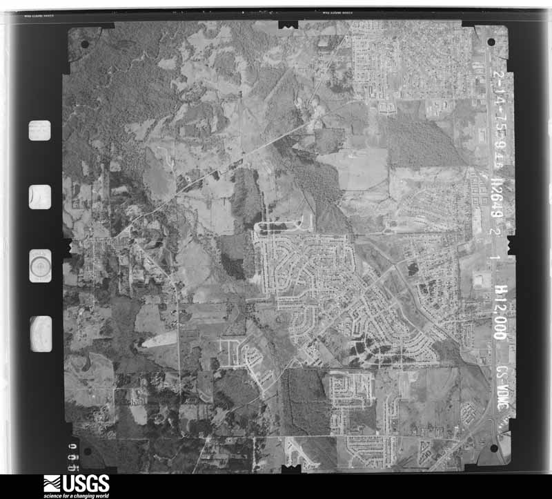
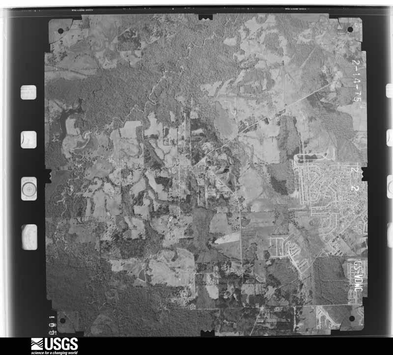
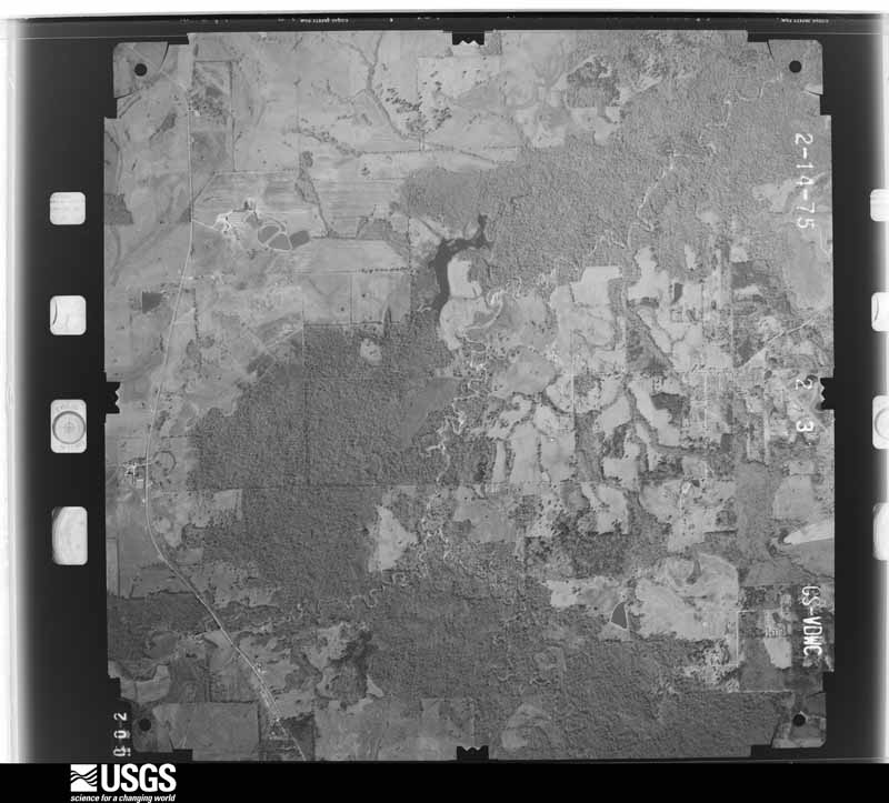
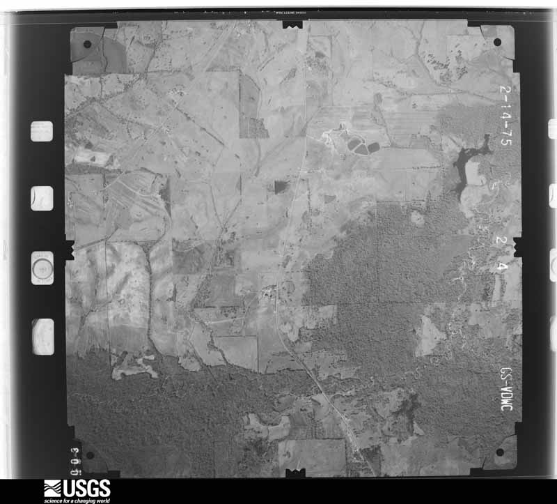
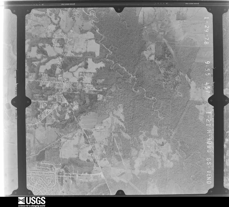
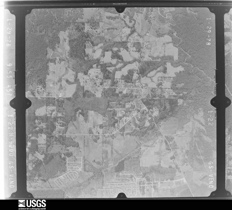
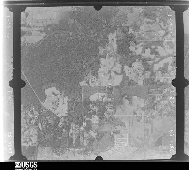
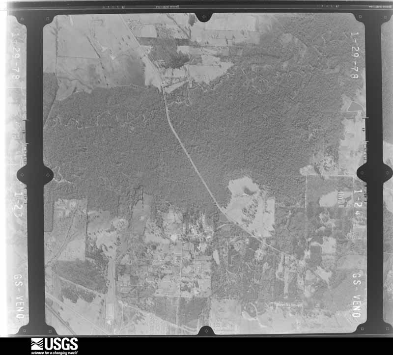
Flown by the U.S. Geological Survey between 1937 and 1989, the Aerial Photo Single Frames collection is the definitive mid-century view of the land: fields, roads and rivers as the camera saw them. The Survey holds 1,481 frames inside the rectangle that bounds this county; the 41 frames below were taken over the county itself, chosen across the decades of flights (at most four a year from that rectangle), so one flight cannot crowd out the rest. The full set is free to browse and download at EarthExplorer under the dataset Aerial Photo Single Frames.

U.S. Geological Survey aerial photograph, 1951-04-23, scale 1:57000
1951-04-23, scale 1:57000. U.S. Geological Survey aerial photograph.
U.S. Geological Survey aerial photograph, 1952-01-30, scale 1:69000
1952-01-30, scale 1:69000. U.S. Geological Survey aerial photograph.
U.S. Geological Survey aerial photograph, 1952-01-30, scale 1:69000
1952-01-30, scale 1:69000. U.S. Geological Survey aerial photograph.
U.S. Geological Survey aerial photograph, 1952-01-30, scale 1:69000
1952-01-30, scale 1:69000. U.S. Geological Survey aerial photograph.
U.S. Geological Survey aerial photograph, 1952-01-30, scale 1:69000
1952-01-30, scale 1:69000. U.S. Geological Survey aerial photograph.
U.S. Geological Survey aerial photograph, 1965-01-19, scale 1:19000
1965-01-19, scale 1:19000. U.S. Geological Survey aerial photograph.
U.S. Geological Survey aerial photograph, 1965-01-19, scale 1:19000
1965-01-19, scale 1:19000. U.S. Geological Survey aerial photograph.
U.S. Geological Survey aerial photograph, 1965-01-19, scale 1:19000
1965-01-19, scale 1:19000. U.S. Geological Survey aerial photograph.
U.S. Geological Survey aerial photograph, 1965-01-19, scale 1:19000
1965-01-19, scale 1:19000. U.S. Geological Survey aerial photograph.
U.S. Geological Survey aerial photograph, 1968-12-09, scale 1:17600
1968-12-09, scale 1:17600. U.S. Geological Survey aerial photograph.
U.S. Geological Survey aerial photograph, 1968-12-09, scale 1:17600
1968-12-09, scale 1:17600. U.S. Geological Survey aerial photograph.
U.S. Geological Survey aerial photograph, 1968-12-09, scale 1:17600
1968-12-09, scale 1:17600. U.S. Geological Survey aerial photograph.
U.S. Geological Survey aerial photograph, 1968-12-09, scale 1:17600
1968-12-09, scale 1:17600. U.S. Geological Survey aerial photograph.
U.S. Geological Survey aerial photograph, 1969-02-12, scale 1:20000
1969-02-12, scale 1:20000. U.S. Geological Survey aerial photograph.
U.S. Geological Survey aerial photograph, 1969-02-12, scale 1:20000
1969-02-12, scale 1:20000. U.S. Geological Survey aerial photograph.
U.S. Geological Survey aerial photograph, 1969-02-12, scale 1:20000
1969-02-12, scale 1:20000. U.S. Geological Survey aerial photograph.
U.S. Geological Survey aerial photograph, 1969-02-27, scale 1:38000
1969-02-27, scale 1:38000. U.S. Geological Survey aerial photograph.
U.S. Geological Survey aerial photograph, 1971-02-10, scale 1:23000
1971-02-10, scale 1:23000. U.S. Geological Survey aerial photograph.
U.S. Geological Survey aerial photograph, 1971-02-10, scale 1:23000
1971-02-10, scale 1:23000. U.S. Geological Survey aerial photograph.
U.S. Geological Survey aerial photograph, 1971-02-10, scale 1:23000
1971-02-10, scale 1:23000. U.S. Geological Survey aerial photograph.
U.S. Geological Survey aerial photograph, 1971-02-10, scale 1:23000
1971-02-10, scale 1:23000. U.S. Geological Survey aerial photograph.
U.S. Geological Survey aerial photograph, 1972-03-06, scale 1:28000
1972-03-06, scale 1:28000. U.S. Geological Survey aerial photograph.
U.S. Geological Survey aerial photograph, 1972-03-06, scale 1:28000
1972-03-06, scale 1:28000. U.S. Geological Survey aerial photograph.
U.S. Geological Survey aerial photograph, 1972-03-06, scale 1:28000
1972-03-06, scale 1:28000. U.S. Geological Survey aerial photograph.
U.S. Geological Survey aerial photograph, 1972-03-06, scale 1:28000
1972-03-06, scale 1:28000. U.S. Geological Survey aerial photograph.
U.S. Geological Survey aerial photograph, 1975-02-01, scale 1:24000
1975-02-01, scale 1:24000. U.S. Geological Survey aerial photograph.
U.S. Geological Survey aerial photograph, 1975-02-01, scale 1:24000
1975-02-01, scale 1:24000. U.S. Geological Survey aerial photograph.
U.S. Geological Survey aerial photograph, 1975-02-01, scale 1:24000
1975-02-01, scale 1:24000. U.S. Geological Survey aerial photograph.
U.S. Geological Survey aerial photograph, 1975-02-01, scale 1:24000
1975-02-01, scale 1:24000. U.S. Geological Survey aerial photograph.
U.S. Geological Survey aerial photograph, 1978-02-01, scale 1:18000
1978-02-01, scale 1:18000. U.S. Geological Survey aerial photograph.
U.S. Geological Survey aerial photograph, 1978-02-01, scale 1:18000
1978-02-01, scale 1:18000. U.S. Geological Survey aerial photograph.
U.S. Geological Survey aerial photograph, 1978-02-01, scale 1:18000
1978-02-01, scale 1:18000. U.S. Geological Survey aerial photograph.
U.S. Geological Survey aerial photograph, 1978-02-01, scale 1:18000
1978-02-01, scale 1:18000. U.S. Geological Survey aerial photograph.
U.S. Geological Survey aerial photograph, 1979-03-01, scale 1:80000
1979-03-01, scale 1:80000. U.S. Geological Survey aerial photograph.
U.S. Geological Survey aerial photograph, 1979-03-01, scale 1:80000
1979-03-01, scale 1:80000. U.S. Geological Survey aerial photograph.
U.S. Geological Survey aerial photograph, 1979-03-01, scale 1:80000
1979-03-01, scale 1:80000. U.S. Geological Survey aerial photograph.
U.S. Geological Survey aerial photograph, 1979-03-01, scale 1:80000
1979-03-01, scale 1:80000. U.S. Geological Survey aerial photograph.
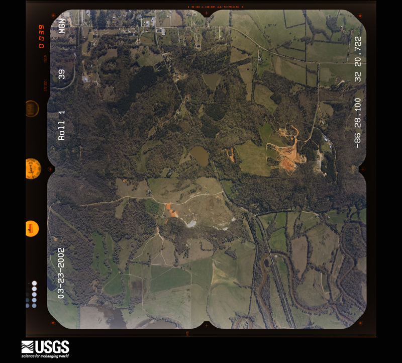
U.S. Geological Survey aerial photograph, 2002-03-23, scale 1:15000
2002-03-23, scale 1:15000. U.S. Geological Survey aerial photograph.
U.S. Geological Survey aerial photograph, 2002-03-23, scale 1:15000
2002-03-23, scale 1:15000. U.S. Geological Survey aerial photograph.
U.S. Geological Survey aerial photograph, 2002-03-23, scale 1:15000
2002-03-23, scale 1:15000. U.S. Geological Survey aerial photograph.
U.S. Geological Survey aerial photograph, 2002-03-23, scale 1:15000
2002-03-23, scale 1:15000. U.S. Geological Survey aerial photograph.

Weather records

17 stations, 5 gages

The thermometers that kept this county's weather, and the gages that measured the flow of its streams, as the federal records hold them. The extremes below are measured values from those records, not estimates.

The 1950 census, district by district

182 districts

Who lived here in 1950, one enumeration district at a time, as the Census Bureau described each district. Each row opens its official National Archives result, with Population Schedules and ED Maps available there.

  • 51-1Election Precinct 8, Dooley: Election Precinct 8, Dooley - That part north of Catoma Creek
  • 51-2Election Precinct 8, Dooley - That part south of Catoma Creek
  • 51-3Election Precinct 9, McGehee: Election Precinct 9, McGehee - That part east of Louisville and Nashville Railroad
  • 51-4Election Precinct 9, McGehee - That part west of Louisville and Nashville Railroad
  • 51-5Election Precinct 10, Killough: Election Precinct 10, Killough - That part east of U.S. Highway 31
  • 51-6Election Precinct 10, Killough - That part west of U.S. Highway 31
  • 51-7Election Precinct 11, Robertson Crossroads: Election Precinct 11, Robertson Crossroads - That part north of Teasleys Mill-Davis Crossroads Road, east of Davis Crossroads-Mt. Zion Church Road, and north of Mt. Zion Church-Legrand Rd.
  • 51-8Election Precinct 11, Robertson Crossroads - That part south of Legrand- Mt. Zion Church Road, west of Mt. Zion-Davis Crossroads Road and south of Davis Crossroads-Teasleys Mill Rd.
  • 51-9Election Precinct 12, Porters: Election Precinct 12, Porters - That part north of State Highway 6 and county road from State Highway 6 to west election Precinct line, via Canty and Teasleys Mill
  • 51-10Election Precinct 12, Porters - That part south of county road from west election Precinct line to State Highway 6, via Teasleys Mill and Canty and south of State Hwy. 6
  • 51-11Election Precinct 13, Pine Level: Election Precinct 13, Pine Level - That part east of U.S. Highway 231
  • 51-12Election Precinct 13, Pine Level - That part west of U.S. Highway 231
  • 51-13Election Precinct 14, Dublin: Election Precinct 14, Dublin - That part north of State Highway 94
  • 51-14Election Precinct 14, Dublin - That part south of State Highway 94
  • 51-15Election Precinct 15, Tuckers: Election Precinct 15, Tuckers - That part east of Smilie Ferry Rd.
  • 51-16Election Precinct 15, Tuckers - That part west of Smilie Ferry Rd.
  • 51-17Election Precinct 16, Union Academy: Election Precinct 16, Union Academy - That part east of Bethlehem- Canann Road from south county line
  • 51-18Election Precinct 16, Union Academy - That part west of Canann- Bethlehem Road to south county line
  • 51-19Election Precinct 17, Pike Road: Election Precinct 17, Pike Road - That part north of Central of Georgia Railway
  • 51-20Election Precinct 17, Pike Road - That part south of Central of Georgia Railway
  • 51-21Election Precinct 18, Old Elam: Election Precinct 18, Old Elam - That part, excluding Alabama State Prison No. 4, Kilby Prison (Males), and Gunter Air Force Base (part) (Sub-base of Maxwell Field) Bounded by County line; Election precinct line; Election precinct line, Montgomery City limits; Fairgrounds Road, Drainage Ditch, Unnamed road, Wetumpka Road. SUPERVISORS NOTE: This enumeration district is expected to require subdivision. Examine before enumeration. See instructions.
  • 51-22Alabama State Prison (No. 4) (In Election Precinct 18, Old Elam)
  • 51-23Kilby Prison (Males) (In Election Precinct 18, Old Elam)
  • 51-24Gunter Air Force Base (part) (Sub-Base of Maxwell Field) - That part in Election precinct 18, Old Elam (Remainder of Gunter Air Force Base (Sub-base of Maxwell Field) is in Election Precinct 20, Walkers
  • 51-25Election Precinct 18, Old Elam - That part Bounded by County line; Wetumpka Road, Western Railway of Alabama, Gardner Avenue extended, Gardner Avenue, Wetumpka Road; Montgomery City limits; Election Precinct line, County line
  • 51-26Election Precinct 18, Old Elam - That part Bounded by Unnamed road; Unnamed road; Cook's Avenue, 6th, N. Cook's Avenue, 4th, Unnamed road, 3rd, Cook's Avenue; Wetumpka Road
  • 51-27Election Precinct 18, Old Elam - That part Bounded by Cook's Avenue, 3rd, Unnamed road, 4th, N. Cook's Avenue, 6th, Cook's Avenue; Unnamed road, Drainage Ditch, 7th; Western Railway of Alabama; Wetumpka Road
  • 51-28Election Precinct 18, Old Elam - That part Bounded Western Railway of Alabama; Fairgrounds Road; Vandiver Avenue, Wetumpka Road, Gardner Avenue extended; Western Railway of Alabama
  • 51-29Election Precinct 18, Old Elam - That part Bounded by Vandiver Avenue; Fairgrounds Road; Broadway; Wetumpka Road
  • 51-30Election Precinct 10, Old Elam - That part Bounded by Broadway; Fairgrounds Road; Montgomery City limits; Wetumpka Rd.
  • 51-31Election Precinct 19, Kendall: Election Precinct 19, Kendall - That part, excluding Hunter Loop (Sub-Base of Maxwell Field) Bounded by County line; Election precinct line, Maxwell Field property line, Montgomery City limits; Montgomery City limits, Montgomery-Selma Road, Catoma Creek; County line
  • 51-32Hunter Loop (Sub-Base of Maxwell Field) (In Election Precinct 19, Kendall)
  • 51-33Election Precinct 19, Kendall - That part Bounded by Catoma Creek; Catoma Creek; Montgomery-Selma Road; County line
  • 51-34Election Precinct 19, Kendall - That part Bounded by Selma-Montgomery Road, Montgomery City limits; Montgomery City limits, Louisville and Nashville Railroad, Unnamed road, Fleming Road, Election Precinct line; Election Precinct line; County line
  • 51-35Maxwell Air Force Base - That part in Election Precinct 19, Kendall, excluding Federal Prison Camp and Hospital
  • 51-36Election Precinct 19, Kendall - That part Bounded by Montgomery City limits; Montgomery City limits, Election Precinct line; Fleming Road, Unnamed road; Louisville and Nashville Railroad
  • 51-37VOID
  • 51-38VOID
  • 51-39Election Precinct 20, Walkers: Election Precinct 20, Walkers - That part, excluding Gunter Force Base (part) (Sub-Base of Maxwell Field) Bounded by Election precinct line; Election precinct line; U.S. Highway 80; Montgomery City limits
  • 51-40Gunter Air Force Base (Sub-Base of Maxwell Field) - That part in Election precinct 20, Walkers (Remainder of Gunter Air Force Base (Sub-Base of Maxwell Field), is in Election Precinct 18, Old Elam)
  • 51-41Election Precinct 20, Walkers - That part excluding Veterans Administration Hospital Bounded by U.S. Highway 80; Election Precinct line; Merry-Montgomery Road; Montgomery City limits
  • 51-42Veterans Administration Hospital (In Election Precinct 20, Walkers)
  • 51-43Election Precinct 20, Walkers - That part bounded by Montgomery-Merry Road; Election precinct line; Election precinct line; Woodley Road, Montgomery City limits
  • 51-44VOID
  • 51-45Election Precinct 20, Walkers - That part bounded by Montgomery City limits; Woodley Road; Election precinct line; Election precinct line
  • 51-46VOID
  • 51-47VOID
  • 51-48VOID
  • 51-49Election Precinct 21, Mount Meigs: Election Precinct 21, Mount Meigs - That part east of Cecil-Waugh Road and north of U.S. Highway 80, excluding Alabama State Reform School (for Negroes)
  • 51-50Alabama State Reform School (for Negroes) (In Election Precinct 21, Mount Meigs)
  • 51-51Election Precinct 21, Mount Meigs - That part south of U.S. Highway 80 and west of Waugh-Cecil Road
  • 51-52Election Precinct 22, Snowdoun
  • 51-53Federal Prison Camp and Hospital (In Maxwell Air Force Base, Election Precinct 19, Kendall) (Remainder of Maxwell Air Force Base is in Ward 1, Montgomery city)
  • 70-1Montgomery city, coextensive with Election Precincts 1, 2, 3, 4, 5, 6, 7, and 23, Cloverdale: Montgomery city - That part of Ward 1 (Area B-part) in Election Precinct 1 Bounded by Bell; Catoma; Montgomery, Wilkinson, Bibb, Herron; Hanrick. This Enumeration District consists of the following blocks: 66, 67, 68, 80, 82, 83, 84
  • 70-2Montgomery city - That part of Ward 1 (Area B - part) in Election Precinct 1, excluding The Jefferson Davis Hotel in Block 79 Bounded by Bibb; Molton; Church; Wilkinson, Montgomery, Catoma. This Enumeration District consists of the following blocks: 79-part, 115, 116
  • 70-3Montgomery city - That part of Ward 1 (Area B-part) in Election Precinct 1, comprising The Jefferson Davis Hotel in Block 79
  • 70-4Montgomery city - That part of Ward 1 (Area B-part) in Election Precinct 1 Bounded by Herron, Bibb; Wilkinson; Church, Clayton; Hanrick. This Enumeration District consists of the following blocks: 81, 108, 109, 110, 118, 119, 120, 121
  • 70-5Montgomery city - That part of Ward 1 (Area B-part) in Election Precinct 1 Bounded by Herron, Dickerson, Bell; Hanrick; Clayton; Oak. This Enumeration District consists of the following blocks: 64, 65, 85, 86, 105, 106, 107, 122, 123, 124, 125
  • 70-6Montgomery city - That part of Ward 1 (Area B-part) in Election Precinct 1 Bounded by City limits; Ward line, Molton, Bell, Dickerson, Herron, Oak; Ward line, Clayton; Crenshaw, Bell, Eugene, Ivey, Gordon. This Enumeration District consists of the following blocks: 36W, 44, 58, 59, 60, 61, 62, 63, 87, 88N, 89, 90, 91, 92, 100, 101, 102, 103, 104
  • 70-7Montgomery city - That part of Ward 1 (Area B-part) in Election Precinct 1 Bounded by Seeger; Eugene; Bell; Rogers, Fuller, Bibb, Dill, Gunter. This Enumeration District consists of the following block: 45. SUPERVISOR NOTE: This Enumeration District is expected to require subdivision. Examine before enumeration. See instructions.
  • 70-8Montgomery city - That part of Ward 1 (Area B-part) in Election Precinct 1, excluding Federal Maxwell Air Force Base (part) in Block 40 Bounded by City limits; Gordon, Ivey, Eugene, Seeger, Gunter, Dill, Bibb, Fuller, Rogers; Bell, U. S. Highway 31; City limits. This Enumeration District consists of the following blocks: 40-part, 41, 42, 43, 46, 47, 48, 49, 211
  • 70-9VOID
  • 70-10Montgomery city - That part of Ward 1 (Area B-part) in Election Precinct 1, comprising Maxwell Air Force Base (part) in Block 40 (Remainder of Maxwell Air Force Base is in Election Precinct 19, Kendall, Montgomery County)
  • 70-11Montgomery city - That part of Ward 1 (Area B-part) in Election Precinct 1 Bounded by Bell; Crenshaw, Clayton, Western Railway of Alabama; Rice; Wheeler, Miles,1st. This Enumeration District consists of the following blocks: 54, 55, 56, 57, 93, 94, 95, 96, 97, 98, 99, 131, 132, 133, 134, 135, 136
  • 70-12Montgomery city - That part of Ward 1, (Area B-part) in Election Precinct 1 Bounded by U. S. Highway 31, Bell, 1st, Miles, Wheeler, Rice, Western Railway of Alabama; Louisville and Nashville Railroad; City limits; City limits. This Enumeration District consists of the following blocks: 50, 51, 52, 53, 126, 127, 128, 129, 130, 162, 163, 164, 165, 166, 167, 168, 169, 170, 171, 172, 207, 208, 209, 210, 212, 213, 214, 276, 277, 278, 364, 394, 425, 426
  • 70-13Montgomery city - That part of Ward 2 (Area B-part) in Election Precinct 2 Bounded by Clayton, Church; Court, Clayton, Sayre; Mildred; Caroline. This Enumeration District consists of the following blocks: 113, 114, 117, 145, 146
  • 70-14Montgomery city - That part of Ward 2 (Area B-part) in Election Precinct 2 Bounded by Clayton; Caroline; Mildred; Mobile. This Enumeration District consists of the following blocks: 143, 144
  • 70-15Montgomery city - That part of Ward 2 (Area B-part) in Election Precinct 2 Bounded by Clayton; Mobile; Day; Holt. This Enumeration District consists of the following blocks: 140, 141, 142, 156, 178
  • 70-16Montgomery city - That part of Ward 2 (Area B-part) in Election Precinct 2 Bounded by Clayton; Holt; Day; Oak. This Enumeration District consists of the following blocks: 138, 139, 157, 158, 175, 176, 177
  • 70-17Montgomery city - That part of Ward 2 (Area B-part) in Election Precinct 2 Bounded by Ward line; Oak; Winifred, Hill, Day; Louisville and Nashville Railroad. This Enumeration District consists of the following blocks: 88S, 137, 159, 160, 161, 173, 174, 183, 184, 185, 186
  • 70-18Montgomery city - That part of Ward 2 (Area B-part) in Election Precinct 2 Bounded by Day, Hill, Winifred; Oak; W. Jeff Davis; Louisville and Nashville Railroad. This Enumeration District consists of the following blocks: 187, 188, 189, 190, 191, 192, 193, 194, 201, 202, 203, 204, 205, 206, 215, 216, 217, 218, 219, 220
  • 70-19Montgomery city - That part of Ward 2 (Area B-part) in Election Precinct 2 Bounded by Day; Holt, Ludie, Dorsey; W. Jeff Davis; Oak. This Enumeration District consists of the following blocks: 181, 182, 195, 196
  • 70-20Montgomery city - That part of Ward 2 (Area B-part) in Election Precinct 2 Bounded by Ludie; Holt; Gray, Ewell, W. Jeff Davis; Dorsey. This Enumeration District consists of the following blocks: 199, 200, 221, 236
  • 70-21Montgomery city - That part of Ward 2 (Area B-part) in Election Precinct 2 Bounded by Day, Mobile, Mildred; Morgan; Stone; Holt. This Enumeration District consists of the following blocks: 154, 155, 179, 180, 197
  • 70-22Montgomery city - That part of Ward 2 (Area B-part) in Election Precinct 2 Bounded by Stone; Morgan; W. Jeff Davis; Holt. This Enumeration District consists of the following blocks: 198, 222, 223, 224, 225, 226, 227
  • 70-23Montgomery city - That part of Ward 2 (Area B-part) in Election Precinct 2 Bounded by Mildred; Pleasant; W. Jeff Davis; Morgan. This Enumeration District consists of the following blocks: 152, 153, 228
  • 70-24Montgomery city - That part of Ward 2 (Area B-part) in Election Precinct 2 Bounded by Mildred; Sayre; W. Jeff Davis; Pleasant. This Enumeration District consists of the following blocks: 150, 151, 229
  • 70-25Montgomery city - That part of Ward 2 (Area B-part) in Election Precinct 2 Bounded by W. Jeff Davis; Goode; Georgia; Cleveland. This Enumeration District consists of the following blocks: 233, 254, 258, 259, 292
  • 70-26Montgomery city - That part of Ward 2 (Area B-part) in Election Precinct 2 Bounded by W. Jeff Davis; Cleveland; Columbia, Adeline, Mill; Holt. This Enumeration District consists of the following blocks: 234, 235, 252, 253, 261
  • 70-27Montgomery city - That part of Ward 2 (Area B-part) in Election Precinct 2 Bounded by W. Jeff Davis, Ewell, Gray; Holt; Mill; Oak. This Enumeration District consists of the following blocks: 237, 238, 249, 250, 251, 262, 263, 264, 265
  • 70-28Montgomery city - That part of Ward 2 (Area B-part) in Election Precinct 2 Bounded by W. Jeff Davis; Oak; Mill; Juliette. This Enumeration District consists of the following blocks: 239, 240, 247, 248, 266, 267, 268
  • 70-29Montgomery city - That part of Ward 2 (Area B-part) in Election Precinct 2 Bounded by W. Jeff Davis; Juliette, Mill, Hill; Early, Mobile Road, Hayneville Road; Louisville and Nashville Railroad. This Enumeration District consists of the following blocks: 241, 242, 243, 244, 245, 246, 269, 270, 271, 272, 273, 274, 275, 279, 280, 281, 282, 308
  • 70-30Montgomery city - That part of Ward 2 (Area B-part) in Election Precinct 2 Bounded by Mill; Oak, Travis, Bragg; Early; Mill. This Enumeration District consists of the following blocks: 283, 284, 285, 286, 306, 307
  • 70-31Montgomery city - That part of Ward 2 (Area B-part) in Election Precinct 2 Bounded by Mill; Holt; Early; Bragg, Travis, Oak. This Enumeration District consists of the following blocks: 287, 288, 289, 305
  • 70-32Montgomery city - That part of Ward 2 (Area B-part) in Election Precinct 2 Bounded by Mill, Adeline, Columbia; Cleveland; Clinton; Holt. This Enumeration District consists of the following blocks: 260, 290, 291, 303
  • 70-33Montgomery city - That part of Ward 2 (Area B-part) in Election Precinct 2 Bounded by Clinton, Cleveland, Georgia; Goode; Early, Cleveland, Underwood; Holt. This Enumeration District consists of the following blocks: 301, 302, 304, 322, 323
  • 70-34Montgomery city - That part of Ward 2 (Area B-part) in Election Precinct 2 Bounded by Early; Goode, Ward line; City limits; Cleveland. This Enumeration District consists of the following blocks: 324, 325, 352, 353, 355, 371, 372, 373, 400, 406, 407, 408W
  • 70-35Montgomery city - That part of Ward 2 (Area B-part) in Election Precinct 2 Bounded by Underwood; Cleveland; Alexander; Holt. This Enumeration District consists of the following blocks: 331, 332, 350, 351, 356, 357, 369, 370, 374, 375
  • 70-36Montgomery city - That part of Ward 2 (Area B-part) in Election Precinct 2 Bounded by Early; Holt; Stephens; Oak. This Enumeration District consists of the following blocks: 320, 321, 333, 334, 335, 336, 348, 349
  • 70-37Montgomery city - That part of Ward 2 (Area B-part) in Election Precinct 2 Bounded by Early; Oak; Fairview; Hill. This Enumeration District consists of the following blocks: 318, 319, 337, 338, 346, 347, 358, 359, 378
  • 70-38Montgomery city - That part of Ward 2 (Area B-part) in Election Precinct 2 Bounded by Hayneville Road, Mobile Road, Early; Hill; Hercules; Atlantic Coast Line Railroad. This Enumeration District consists of the following blocks: 315, 316, 317, 339, 340, 341, 342, 343, 344, 345, 360, 361
  • 70-39Montgomery city - That part of Ward 2 (Area B-part) in Election Precinct 2 Bounded by Hayneville Road; Atlantic Coast Line Railroad, Hercules, Hill, Fairview, Atlantic Coast Line Railroad; W. Edgemont, Mobile Road, Simmons Drive; Louisville and Nashville Railroad. This Enumeration District consists of the following blocks: 362, 363, 365, 366, 379, 380, 381, 382, 383, 390, 391, 392, 393, 395, 396, 424, 427, 428, 429, 430, 431, 432, 433, 434, 435
  • 70-40Montgomery city - That part of Ward 2 (Area B-part) in Election Precinct 2 Bounded by Stephens; Holt; Fairview; Oak. This Enumeration District consists of the following blocks: 367, 368, 376, 377, 384
  • 70-41Montgomery city - That part of Ward 2 (Area B-part) in Election Precinct 2 Bounded by Fairview, Holt, Alexander; Cleveland; City limits; City limits, Atlantic Coast Line Railroad. This Enumeration District consists of the following blocks: 385, 386, 388, 389, 397, 398, 399, 409, 410, 411, 412, 413, 414, 415, 416, 417, 418, 419, 420, 421, 422, 423, 441
  • 70-42Montgomery city - That part of Ward 3 (Area A-part) in Election Precinct 3 Bounded by Dexter; Lawrence; Scott; Court. This Enumeration District consists of the following blocks: 223, 224, 262, 264, 265, 311, 312
  • 70-43Montgomery city - That part of Ward 3 (Area A-part) in Election Precinct 3 Bounded by Scott; Lawrence, High, Perry; Grove; Court. This Enumeration District consists of the following blocks: 313, 314, 350
  • 70-44Montgomery city - That part of Ward 3 (Area B-part) in Election Precinct 3 Bounded by Clayton; S. Court; South; Sayre. This Enumeration District consists of the following blocks: 147, 148, 149
  • 70-45Montgomery city - That part of Ward 3 (Area A-part) in Election Precinct 3 Bounded by Grove, S. Perry, High; S. Lawrence; South, S. Perry, W. Jeff Davis; S. Court. This Enumeration District consists of the following blocks: 351, 402, 403, 453
  • 70-46Montgomery city - That part of Ward 3 (Area B-part) in Election Precinct 3 Bounded by W. Jeff Davis, Sayre, South; S. Court; Cromwell; Goode. This Enumeration District consists of the following blocks: 230, 231, 232, 255, 256, 257, 293, 294
  • 70-47Montgomery city - That part of Ward 3 (Area A-part) in Election Precinct 3 Bounded by W. Jeff Davis, S. Perry, South; S. Lawrence, E. Jeff Davis, S. McDonough; Finley, S. Lawrence, Hubbard; S. Court. This Enumeration District consists of the following blocks: 452, 496, 497, 498, 499, 500, 532, 533, 534
  • 70-48Montgomery city - That part of Ward 3 (Area A-part) in Election Precinct 3 Bounded by Hubbard, S. Lawrence, Finley; S. McDonough, Clanton, Gilmer; Felder; S. Court. This Enumeration District consists of the following blocks: 535, 536, 601, 602, 603, 604, 605, 606
  • 70-49Montgomery city - That part of Ward 3 (Area B-part) in Election Precinct 3 Bounded by Cromwell; S. Court; Early; Goode. This Enumeration District consists of the following blocks: 295, 296, 297, 298, 299, 300
  • 70-50Montgomery city - That part of Ward 3 (Area B-part) in Election Precinct 3 Bounded by Early; Court; City limits; City limits, Ward line, Goode. This Enumeration District consists of the following blocks: 326, 327, 328, 329, 330, 354, 387, 401, 402, 403, 404, 405, 408E
  • 70-51Montgomery city - That part of Ward 3 (Area A-part) in Election Precinct 3 Bounded by Felder, Gilmer, Ward line; Norman Bridge Road; Arlington Road; Court. This Enumeration District consists of the following blocks: 630S, 631S, 632, 633, 634, 635, 655, 656, 657, 658, 659, 660, 661, 662
  • 70-52Montgomery city - That part of Ward 3 (Area A-part) in Election Precinct 3 Bounded by Arlington Road; Norman Bridge Road; Ogden; Court. This Enumeration District consists of the following blocks: 679, 680, 681, 682, 683, 684, 685, 686, 687, 708, 709, 710, 756, 757, 758, 759, 760, 761
  • 70-53Montgomery city - That part of Ward 4 (Area A-part) in Election Precinct 4 Bounded by Pelham; Hilliard, Houston; Adams; Union. This Enumeration District consists of the following blocks: 230, 232, 233, 253, 254, 255, 256
  • 70-54Montgomery city - That part of Ward 4 (Area A-part) in Election Precinct 4 Bounded by Dexter, Ward line; Union; Alabama; S. Hull. This Enumeration District consists of the following blocks: 216S, 227, 228, 257, 258, 259, 268, 269, 270
  • 70-55Montgomery city - That part of Ward 4 (Area A-part) in Election Precinct 4 Bounded by Dexter; S. Hull; Scott, S. McDonough, High; S. Lawrence. This Enumeration District consists of the following blocks: 225, 226, 260, 261, 266, 267, 309, 310
  • 70-56Montgomery city - That part of Ward 4 (Area A-part) in Election Precinct 4 Bounded by Scott, S. Hull, Alabama; Union; High; S. McDonough. This Enumeration District consists of the following blocks: 306, 307, 308, 315, 316, 317, 318
  • 70-57Montgomery city - That part of Ward 4 (Area A-part) in Election Precinct 4, excluding St. Margarets Hospital and Nurses Training School in Block 272, Bounded by Adams; Jackson; High; Union. This Enumeration District consists of the following blocks: 271, 272-part, 305
  • 70-58Montgomery city - That part of Ward 4 (Area A-part) in Election Precinct 4, comprising St. Margarets Hospital and Nurses Training School in Block 272
  • 70-59Montgomery city - That part of Ward 4 (Area A-part) in Election Precinct 4 Bounded by Adams, Houston; Hall, Yougene, Watts; Highland; Jackson, This Enumeration District consists of the following blocks: 273, 274, 275
  • 70-60Montgomery city - That part of Ward 4 (Area A-part) in Election Precinct 4 Bounded by Yougene; Hall; Lake; Watts. This Enumeration District consists of the following blocks: 319, 320, 321, 362, 363
  • 70-61Montgomery city - That part of Ward 4 (Area A-part) in Election Precinct 4 Bounded by Highland, Watts, Lake; Hall; Grove; Jackson. This Enumeration District consists of the following blocks: 359, 360, 361, 408, 409
  • 70-62Montgomery city - That part of Ward 4 (Area A-part) in Election Precinct 4 Bounded by High; Jackson; Grove, Union, South; S. Decatur, Grove, Union. This Enumeration District consists of the following blocks: 357, 358, 400, 401, 407
  • 70-63Montgomery city - That part of Ward 4 (Area A-part) in Election Precinct 4 Bounded by High; Union; Grove; S. Lawrence. This Enumeration District consists of the following blocks: 352, 353, 354, 355, 356
  • 70-64Montgomery city - That part of Ward 4 (Area A-part) in Election Precinct 4 Bounded by Grove; S. Decatur; E. Jeff Davis; S. Lawrence. This Enumeration District consists of the following blocks: 404, 405, 406, 449, 450, 451
  • 70-65Montgomery city - That part of Ward 5 (Area A-part) in Election Precinct 5 Bounded by City limits; City limits, Pelzer, Calhoun; Windsor, Federal Drive, Windsor; Maryland, Upper Wetumpka Road, Fairground Road. This Enumeration District consists of the following blocks: 25, 26, 31, 109, 110, 111, 745, 749, 750, 751
  • 70-66Montgomery city - That part of Ward 5 (Area A-part) in Election Precinct 5 Bounded by City limits; Fairground Road, Upper Wetumpka Road; Lucas; Wilena, Midway, Texas, Yarborough, Texas. This Enumeration District consists of the following blocks: 12, 13, 14, 15, 16, 17, 19, 20, 21, 22, 24, 27, 28, 30, 734, 735, 736, 743
  • 70-67Montgomery city - That part of Ward 5 (Area A-part) in Election Precinct 5 Bounded by City limits; Texas, Yarborough, Texas, Midway, Wilena, Lucas; Upper Wetumpka Road; Ward line. This Enumeration District consists of the following blocks: 1E, 7, 8, 9E, 10E, 11, 18, 23, 29, 37E, 61, 62, 63, 103, 104, 105, 737, 738, 739, 740, 741, 742, 744. SUPERVISOR NOTE: This Enumeration District is expected to require subdivision. Examine before enumeration. See instructions.
  • 70-68Montgomery city - That part of Ward 5 (Area A-part) in Election Precinct 5 Bounded by Upper Wetumpka Road; N. Lewis, S. Lewis; E. Washington; Central of Georgia Railroad, Ward line. This Enumeration District consists of the following blocks: 119, 136, 137, 138E, 160, 177, 178, 191, 238, 239
  • 70-69Montgomery city - That part of Ward 5 (Area A-part) in Election Precinct 5 Bounded by Upper Wetumpka Road; Florida, Windsor, California; Madison; N. Lewis. This Enumeration District consists of the following blocks: 106, 107, 116, 117, 118, 133, 134, 135, 161, 162, 163, 174, 175, 176
  • 70-70Montgomery city - That part of Ward 5 (Area A-part) in Election Precinct 5 Bounded by Windsor, Florida, Upper Wetumpka Road, Maryland, Windsor; Pennsylvania; Madison; California. This Enumeration District consists of the following blocks: 108, 114, 115, 120, 121, 122, 130, 131, 132, 164, 165, 166, 171, 172, 173
  • 70-71Montgomery city - That part of Ward 5 (Area A-part) in Election Precinct 5 Bounded by Windsor; Federal Drive; Mt. Meigs Road; Pennsylvania. This Enumeration District consists of the following blocks: 112, 113, 123, 124, 128, 129, 167, 168, 169, 170, 198
  • 70-72Montgomery city - That part of Ward 5 (Area A-part) in Election Precinct 5 Bounded by Windsor, Calhoun, Pelzer, City limits; City limits; Ward line, Thrasher; Ann, Mt. Meigs Road, Federal Drive. This Enumeration District consists of the following blocks: 125, 126, 127, 199, 200, 202, 203, 204, 296N, 733, 746, 747, 748, 752, 753, 754, 755
  • 70-73Montgomery city - That part of Ward 5 (Area A-part) in Election Precinct 5 Bounded by Mt. Meigs Road; Ann; Thrasher, Yougene; Ryan. This Enumeration District consists of the following blocks: 205, 206, 284, 285, 286, 288, 289, 290, 291, 292, 293, 295, 297, 298, 299
  • 70-74Montgomery city - That part of Ward 5 (Area A-part) in Election Precinct 5 Bounded by Madison Avenue; Pennsylvania; Mt. Meigs Road; Madison Terrace. This Enumeration District consists of the following blocks: 194, 195, 196, 197, 207, 208, 209, 210, 240, 241
  • 70-75Montgomery city - That part of Ward 5 (Area A-part) in Election Precinct 5 Bounded by Madison Avenue; Madison Terrace; Mt. Meigs Road; Central of Georgia Railroad, E. Washington, S. Lewis. This Enumeration District consists of the following blocks: 192, 193, 242, 243, 244, 245, 246
  • 70-76Montgomery city - That part of Ward 6 (Area A-part) in Election Precinct 6 Bounded by City limits, Ward line, Seaboard Air Line Railway, N. Decatur, Ferguson, Choctaw, French, N. Decatur; Park, Clisby, N. McDonough, Prince, N. Perry, Railroad; N. Court, Jackson Ferry Road, Western Railway of Alabama. This Enumeration District consists of the following blocks: 1W, 32, 33, 34, 35, 36, 65
  • 70-77Montgomery city - That part of Ward 6 (Area A-part) in Election Precinct 6 Bounded by City limits; Western Railway of Alabama, Jackson Ferry Road; N. Court. This Enumeration District consists of the following blocks: 2, 3, 4, 5, 6
  • 70-78Montgomery city - That part of Ward 6 (Area B-part) in Election Precinct 6 Bounded by City limits; N. Court; Jones, Proctor; Chandler, Furnace, Parallel. This Enumeration District consists of the following blocks: 1, 2, 3, 5, 6, 7, 8, 9, 10, 11, 12, 13, 14, 15, 16
  • 70-79Montgomery city - That part of Ward 6 (Area B-part) in Election Precinct 6 Bounded by City limits; Parallel, Furnace, Chandler, Proctor, Walker, Lafayette; Unnamed street; City limits. This Enumeration District consists of the following blocks: 4, 21, 22, 23, 24, 25, 26, 27, 28
  • 70-80Montgomery city - That part of Ward 6 (Area B-part) in Election Precinct 6 Bounded by Proctor, Jones; N. Court; Railroad, Lowndes, Fulton; Lafayette, Walker. This Enumeration District consists of the following blocks: 17, 18, 19, 20, 29, 30, 31, 32, 33
  • 70-81Montgomery city - That part of Ward 6 (Area A-part) in Election Precinct 6 Bounded by Choctaw, Ferguson, N. Decatur, Seaboard Air Line Railway; Ward line; Upper Wetumpka Road; Ripley, Fountain, N. Decatur, French. This Enumeration District consists of the following blocks: 9W, 10W, 37W, 38, 39, 40, 41, 42, 43, 44, 45, 46, 47, 48, 49, 50, 51, 52, 53, 54, 55, 56, 57, 58, 59, 60, 64, 102, 788
  • 70-82Montgomery city - That part of Ward 6 (Area A-part) in Election Precinct 6 Bounded by Fountain; Ripley; Randolph; N. Bainbridge, N. Decatur. This Enumeration District consists of the following blocks: 69, 70, 71, 82, 83, 84, 85, 86, 87
  • 70-83Montgomery city - That part of Ward 6 (Area A-part) in Election Precinct 6 Bounded by Railroad, N. Perry, Prince, N. McDonough, Clisby, Park; N. Decatur, N. Bainbridge; Randolph; N. Court. This Enumeration District consists of the following blocks: 66, 67, 68, 72, 73, 74, 75, 76, 77, 78, 79, 80, 81, 88, 89, 90, 91, 92, 93
  • 70-84Montgomery city - That part of Ward 6 (Area B-part) in Election Precinct 6, excluding The Greystone Hotel in Block 72 Bounded by Unnamed street, Lafayette, Fulton, Lowndes, Railroad; N. Court; Bibb; Catoma, Bell, Molton, City limits. This Enumeration District consists of the following blocks: 34, 35, 36E, 37, 38, 39, 69, 70, 71, 72-part, 73, 74
  • 70-85Montgomery city - That part of Ward 6 (Area B-part) in Election Precinct 6, comprising The Greystone Hotel in Block 72
  • 70-86Montgomery city - That part of Ward 6 (Area B-part) in Election Precinct 6, excluding The Exchange Hotel in Block 77 Bounded by Bibb; N. Court; Montgomery; Molton. This Enumeration District consists of the following blocks: 75, 76, 77-part, 78
  • 70-87Montgomery city - That part of Ward 6 (Area B-part) in Election Precinct 6, comprising The Exchange Hotel in Block 77
  • 70-88Montgomery city - That part of Ward 6 (Area B-part) in Election Precinct 6, excluding The Whitley Hotel in Block 112 Bounded by Montgomery; N. Court; Church; Molton. This Enumeration District consists of the following blocks: 111, 112-part
  • 70-89Montgomery city - That part of Ward 6 (Area B-part) in Election Precinct 6, comprising The Whitley Hotel in Block 112
  • 70-90Montgomery city - That part of Ward 6 (Area A-part) in Election Precinct 6 Bounded by Randolph; N. McDonough, Madison, N. Lawrence; Dexter; N. Court. This Enumeration District consists of the following blocks: 94, 95, 96, 147, 148, 149, 150, 151, 152, 179, 180, 221, 222
  • 70-91Montgomery city - That part of Ward 6 (area A-part) in Election Precinct 6 Bounded by Randolph; N. Bainbridge; Madison; N. McDonough. This Enumeration District consists of the following blocks: 97, 98, 99, 144, 145, 146, 153, 154, 155
  • 70-92Montgomery city - That part of Ward 6 (Area A-part) in Election Precinct 6 Bounded by Randolph; Ripley; Madison; N. Bainbridge. This Enumeration District consists of the following blocks: 100, 101, 142, 143, 156, 157
  • 70-93Montgomery city - That part of Ward 6 (Area A-part) in Election Precinct 6 Bounded by Madison; Central of Georgia Railroad; Houston; Garrison. This Enumeration District consists of the following blocks: 190, 235, 236, 237, 247, 248, 249, 250, 251
  • 70-94Montgomery city - That part of Ward 6 (Area A-part) in Election Precinct 6 Bounded by Madison, Jackson, Monroe, Hilliard, Madison; Garrison; Houston, Hilliard, Pelham; Ripley. This Enumeration District consists of the following blocks: 187, 189, 211, 212, 213, 214, 231, 232, 234, 252
  • 70-95Montgomery city - That part of Ward 6 (Area A-part) in Election Precinct 6 Bounded by Madison; Ripley; Pelham, Ward line, Dexter; N. Lawrence. This Enumeration District consists of the following blocks: 181, 182, 183, 184, 185, 186, 215, 216N, 217, 218, 219, 220, 229
  • 70-96Montgomery city - That part of Ward 7 (Area A-part) in Election Precinct 7 Bounded by Yougene, Thrasher, Ward line, City limits; City limits; City limits; Ann, E. 5th, Ann, Locust, Charles. This Enumeration District consists of the following blocks: 296S, 333, 334, 335, 336, 337, 338, 377, 378, 379, 380, 381, 382, 383, 384, 385, 386, 387, 388, 422, 423, 424, 425, 566, 567
  • 70-97Montgomery city - That part of Ward 7 (Area A-part) in Election Precinct 7 Bounded by Ward line, Yougene; Charles; Locust; Boyce. This Enumeration District consists of the following blocks: 302S, 303S, 330, 331, 332, 339, 340, 341, 342, 343, 372, 373, 374, 375, 376, 389, 390, 391, 392, 393, 417, 418, 419, 420, 421
  • 70-98Montgomery city - That part of Ward 7 (Area A-part) in Election Precinct 7 Bounded by Ward line, Yougene; Boyce; Locust, Park Place, Mulberry, Holly; Forest, Highland, Central of Georgia Railroad. This Enumeration District consists of the following blocks: 278S, 327, 328, 329, 344, 345, 346, 368, 369, 370, 371, 394, 395, 396, 397, 411, 412, 413, 414, 415, 416, 434, 435, 436
  • 70-99Montgomery city - That part of Ward 7 (Area A-part) in Election Precinct 7 Bounded by Houston; Central of Georgia Railroad; Highland, Maggie, Lake; Hall. This Enumeration District consists of the following blocks: 276, 277, 322, 323, 324, 325, 326, 347, 348, 349, 364
  • 70-100Montgomery city - That part of Ward 7 (Area A-part) in Election Precinct 7 Bounded by Grove; Hall; Thurman; Jackson, Tuscaloosa, Shepard, Hutchinson, Shepard. This Enumeration District consists of the following blocks: 437, 438, 439, 440, 441, 442, 460, 461, 462, 463, 464, 465, 467, 468, 489, 490
  • 70-101Montgomery city - That part of Ward 7 (Area A-part) in Election Precinct 7 Bounded by Grove; Shepard, Hutchinson, Shepard; Tuscaloosa, Jackson, Thurman; Elmwood, Webb, Ripley. This Enumeration District consists of the following blocks: 443, 444, 445, 457, 458, 459, 466, 491
  • 70-102Montgomery city - That part of Ward 7 (Area A-part) in Election Precinct 7 Bounded by Grove; Ripley, Webb, Elmwood; Thurman; Union. This Enumeration District consists of the following blocks: 446, 447, 455, 456, 492
  • 70-103Montgomery city - That part of Ward 7 (Area A-part) in Election Precinct 7 Bounded by E. Jeff Davis, S. Decatur, South; Union; S. Decatur, Cramer; S. McDonough. This Enumeration District consists of the following blocks: 448, 454, 493, 494, 495, 501, 502
  • 70-104Montgomery city - That part of Ward 7 (Area A-part) in Election Precinct 7 Bounded by Cramer, S. Decatur; Norman Bridge Road; Maury; S. McDonough. This Enumeration District consists of the following blocks: 530, 531, 595, 596, 600
  • 70-105Montgomery city - That part of Ward 7 (Area A-part) in Election Precinct 7 Bounded by Maury, Norman Bridge Road, Carter Hill Road; Prospect, Ward line, Norman Bridge Road; Ward line; Gilmer, Clanton, S. McDonough. This Enumeration District consists of the following blocks: 538, 539, 592N, 593, 594, 597, 598, 599, 607, 608, 609, 630N, 631N
  • 70-106Montgomery city - That part of Ward 7 (Area A-part) in Election Precinct 7 Bounded by Thurman; Hall, Deeming, Franklin, Carter Hill Road, Ward line; Ward line, Reed; Prospect, Carter Hill Road, Norman Bridge Road, Union. This Enumeration District consists of the following blocks: 503, 504, 522, 523, 524, 525, 526, 527, 528, 529, 540, 541, 589W, 590N, 591N
  • 70-107Montgomery city - That part of Ward 7 (Area A-part) in Election Precinct 7 Bounded by Lake, Maggie, Highland; Forest, Stevenson, Pineleaf; St. John; Hall. This Enumeration District consists of the following blocks: 365, 366, 367, 398, 399, 410, 485, 486, 487, 488, 505, 506, 507, 508, 518, 519, 520, 521
  • 70-108Montgomery city - That part of Ward 7 (Area A-part) in Election Precinct 7 Bounded by Stevenson, Forest, Holly; Mulberry; 5th; Pineleaf. This Enumeration District consists of the following blocks: 469, 470, 471, 482, 483, 484, 509, 510, 516, 517, 545, 546, 555, 556
  • 70-109Montgomery city - That part of Ward 7 (Area A-part) in Election Precinct 7 Bounded by Park Place; Central of Georgia Railroad; E. 3rd; Mulberry. This Enumeration District consists of the following blocks: 433, 472, 473, 480, 481, 511, 512, 513, 514, 515, 547, 548, 549, 550
  • 70-110Montgomery city - That part of Ward 7 (Area A-part) in Election Precinct 7 Bounded by Locust; Ann; 5th; Central of Georgia Railroad. This Enumeration District consists of the following blocks: 426, 427, 428, 429, 430, 431, 432, 474, 475, 476, 477, 478, 479
  • 70-111Montgomery city - That part of Ward 7 (Area A-part) in Election Precinct 7 Bounded by E. 3rd, Central of Georgia Railroad, E. 5th; Ann, City limits; Carter Hill Road; West, E., 5th, Mulberry. This Enumeration District consists of the following blocks: 551, 552, 553, 554, 561, 562, 563, 564, 565, 568, 569, 570, 571, 575, 576, 577, 578, 579, 580, 581
  • 70-112Montgomery city - That part of Ward 7 (Area A-part) in Election Precinct 7 Bounded by W. 5th, Mulberry, E. 5th; West; Carter Hill Road; Hall. This Enumeration District consists of the following blocks: 558, 559, 560, 572, 573, 574
  • 70-113Montgomery city - That part of Ward 7 (Area A-part) in Election Precinct 7 Bounded by Deeming, Hall, St. John; Pineleaf; W. 5th, Hall, Carter Hill Road; Franklin. This Enumeration District consists of the following blocks: 542, 543, 544, 557
  • 70-114Montgomery city - That part of Ward 23 (Area A-part) in Election Precinct 23, Cloverdale Bounded by Carter Hill Road; City limits; City limits; Narrow Lane Road. This Enumeration District consists of the following blocks: 582, 695, 696, 697, 698, 719, 720, 721, 722, 723, 765, 766, 767, 772, 777, 778, 779, 782, 783
  • 70-115Montgomery city - That part of Ward 23 (Area A-part) in Election Precinct 23, Cloverdale Bounded by Carter Hill Road; Narrow Lane Road; Fairview; Agnew, Magnolia, College. This Enumeration District consists of the following blocks: 583, 644, 645, 646
  • 70-116Montgomery city - That part of Ward 23 (Area A-part) in Election Precinct 23, Cloverdale Bounded by Carter Hill Road; College, Magnolia, Agnew; Fairview; Boultier, Belmont, Ward line. This Enumeration District consists of the following blocks: 584, 585, 586, 587, 588, 589E, 617, 618, 619, 620, 621, 622, 641, 642, 643, 647
  • 70-117Montgomery city - That part of Ward 23 (Area A-part) in Election Precinct 23, Cloverdale Bounded by Ward line, Belmont; Boultier; Fairview; Ellen, Park, Cloverdale Road. This Enumeration District consists of the following blocks: 590S, 591S, 592S, 612, 613, 614, 615, 616, 623, 624, 625, 639, 640, 648, 649, 650, 651
  • 70-118Montgomery city - That part of Ward 23 (Area A-part) in Election Precinct 23, Cloverdale Bounded by Cloverdale Road; Cloverdale Road, Park, Ellen; Fairview; Norman Bridge Road. This Enumeration District consists of the following blocks: 610, 611, 626, 627, 628, 629, 636, 637, 638, 652, 653, 654
  • 70-119Montgomery city - That part of Ward 23 (Area A-part) in Election Precinct 23, Cloverdale Bounded by Fairview; Cloverdale Road; Pershing, Le Bron, Plymouth; Norman Bridge Road. This Enumeration District consists of the following blocks: 663, 664, 665, 666, 672, 673, 674, 675, 676, 677, 678, 688, 689, 690, 691
  • 70-120Montgomery city - That part of Ward 23 (area A-part) in Election Precinct 23, Cloverdale Bounded by Fairview; Bankhead Avenue, Wloodley Road, Narrow Lane Road; Primrose, Thomas, Glen Grattan; Edgemont, Cloverdale Road. This Enumeration District consists of the following blocks: 667, 668, 669, 670, 671, 692, 693, 699, 700, 701, 702, 717, 718, 724, 727
  • 70-121Montgomery city - That part of Ward 23 (Area A-part) in Election Precinct 23, Cloverdale Bounded by Fairview; Narrow Lane Road; Woodley Road; Bankhead Avenue. This Enumeration District consists of the following block: 694. SUPERVISOR NOTE: This Enumeration District is expected to require subdivision. Examine before enumeration. See instructions.
  • 70-122Montgomery city - That part of Ward 23 (Area A-part) in Election Precinct 23, Cloverdale Bounded by Plymouth, Le Bron, Pershing, Cloverdale Road, Edgemont, Glen Grattan; Thomas, Primrose, Narrow Lane Road; City limits; Norman Bridge Road. This Enumeration District consists of the following blocks: 703, 704, 705, 706, 707, 712, 713, 714, 715, 716, 725, 726, 728, 729, 730, 731, 732, 773, 780, 781
  • 70-123Montgomery city - That part of Ward 2 (Area B-part) in Election Precinct 2 Bounded by W. Edgemont; Atlantic Coast Line Railroad; City limits; Mobile Road. This Enumeration District consists of the following blocks: 436, 438. SUPERVISOR NOTE: This Enumeration District is expected to require subdivision. Examine before enumeration. See instructions.
  • 70-124Montgomery city - That part of Ward 2 (Area B-part) in Election Precinct 2 Bounded by Simmons Drive; Mobile Road; City limits; City limits. This Enumeration District consists of the following blocks: 437, 439, 440, 442, 443, 444, 445, 446
  • 70-125AMontgomery city - That part of Ward 3 (Area A-part) in Election Precinct 3 Bounded by Patton, Patton extended, Patton; Norman Bridge Road; Davis Drive, Woodland Drive; Court. This Enumeration District consists of the following blocks: 769-part, 774, 775, 776
  • 70-125BMontgomery city - That part of Ward 3 (Area A-part) in Election Precinct 3 Bounded by Ogden; Norman Bridge Road; Patton, Patton extended, Patton; Court. This Enumeration District consists of the following blocks: 711, 762, 763, 764, 768, 769-part, 770, 771
  • 70-126Montgomery city - That part of Ward 3 (Area A-part) in Election Precinct 3 Bounded by Woodland Drive; Norman Bridge Road; City limits; Court. This Enumeration District consists of the following blocks: 784, 785, 786, 787
  • 70-127Montgomery city - That part of Ward 5 (Area A-part) in Election Precinct 5 Bounded by Mt. Meigs Road; Ryan, Yougene; Ward line, Yougene, Ward line; Central of Georgia Railroad. This Enumeration District consists of the following blocks: 278N, 279, 280, 281, 282, 283, 294, 300, 301, 302N, 303N, 304
  • 70-128Montgomery city - That part of Ward 6 (Area A-part) in Election Precinct 6 Bounded by Upper Wetumpka Road; Ward line; Madison, Hilliard, Monroe, Jackson, Madison; Ripley. This Enumeration District consists of the following blocks: 138W, 139, 140, 141, 158, 159, 188

Wildfire, 1994 to 2020

448 fires

Every wildfire the federal occurrence database records inside this county: 448 of them, burning about 3,905 acres. 12 started naturally and 32 were recorded as arson. Each settlement page carries the fires within five miles of it.

Reported cause Fires
Debris and open burning200
Missing data/not specified/undetermined95
Equipment and vehicle use37
Arson/incendiarism32
Recreation and ceremony28
Smoking24
Natural12
Railroad operations and maintenance8
Power generation/transmission/distribution6
Misuse of fire by a minor6

The five largest, by the area the report gives. None of them was recorded as arson.

DateCause SizeReported by Name on the report
29 July 1995Debris and open burning150 acresAlabama Forestry Commissionnot named
9 March 2013Missing data/not specified/undetermined130 acresAlabama Forestry CommissionECR-20130309-012
21 March 2007Debris and open burning110 acresAlabama Forestry CommissionAUDRACH FARM
7 March 1994Debris and open burning100 acresAlabama Forestry Commissionnot named
29 March 2013Missing data/not specified/undetermined89 acresAlabama Forestry CommissionECR-20130329-001
18 November 2001Misuse of fire by a minor80 acresAlabama Forestry Commissionnot named
25 September 2016Missing data/not specified/undetermined78 acresAlabama Forestry Commission20160925-19
29 October 2011Missing data/not specified/undetermined75 acresAlabama Forestry CommissionEXIT 42 NEAR CO. RD. 185, AL

Every settlement page carries the fires within five miles of it - see the settlement index below.

Storms, 1956 to 2026

60 of 519 shown

The NOAA Storm Events Database holds 519 reports for this county, causing 11 deaths, 126 injuries and about $23,036,500 in recorded property damage. Each settlement page carries the reports that name it.

Kind of event Reports
Thunderstorm Wind274
Hail123
Tornado58
Flash Flood41
Lightning11
Funnel Cloud5
Heavy Rain4
Flood3

The most serious of them, by death, then injury, then recorded damage. The accounts are quoted exactly as the forecast office filed them.

WhenEvent Place namedHarm What the report says
May 1984Tornado (F3)not stated5 killed, 37 hurt, $2,500,000no account filed
March 1996Tornado (F2)Montgomery2 killed, 17 hurt, $1,500,000no account filed
November 2022Tornado (EF2)Boylston2 killed, 2 hurtNational Weather Service meteorologists surveyed damage in Montgomery County and determined that it was consistent with an EF2 tornado, with maximum winds near 120 mph. The tornado crossed the Alabama River and into Montgomery County and continued east-northeastward towards Coosada Ferry Road, where it uprooted and snapped several pine trees. It strengthened as it reached Williams Road, where a manufactured home and a site-built home suffered roof damage. Just west of Franson Road two manufactured homes were completely destroyed with debris blown downstream. One manufactured home had some evidence of straps but the occupancy status of both are unknown. As the tornado moved into the Flatwood community, many homes had roof damage and damage from uprooted trees. Unfortunately an uprooted tree fell on a manufactured home, resulting in two fatalities and one serious injury. The concrete masonry unit community center also suffered collapse of all exterior walls. The tornado crossed Lower Wetumpka Road twice, continuing to snap and uproot trees and cause roof damage, with one home suffering complete roof loss. A couple of wooden transmission line poles fell north of Anderson Road. The tornado then crossed the Tallapoosa River into Elmore County.
June 2002LightningMontgomery1 killed, 2 hurtAn 8-year-old girl, her mother, and another woman were struck by lightning on the east side of Montgomery near the intersection of Vaughn Road and Eastern Blvd. The victims had just left a restaurant according to newspaper reports and were about to get in their car when the lightning strike occurred. Rain was not occurring at the time. The 8-year-old went into cardiac arrest, but EMS people were able to resuscitate her and transport her to the hospital. The 44-year-old mother of the child was knocked unconscious and was also taken to a local hospital. The third person, a 33-year-old woman, was treated for minor injuries.
May 2009Flash FloodMontgomery1 killed, $1,800,000The city of Montgomery experienced extensive flash flooding due to a period of very heavy rainfall. An estimated 10+ inches of rain fell in portions of Montgomery County in about a six hour time frame. The downtown area, including the capitol district, was hit especially hard. At least three feet of water flowed into the basement of the Statehouse building, and state legislators temporarily moved to backup chambers in the old Capitol. Numerous streets downtown were closed, and numerous cars became stranded in the high water. One 67 year old man drowned when his car was swept away by flood waters in Montgomery.
November 1979Tornado (F3)not stated20 hurt, $2,500,000no account filed
February 1996Thunderstorm WindMontgomery15 hurt, $500,000no account filed
November 2006Tornado (F2)Pinedale6 hurt, $500,000The Montgomery tornado touched down approximately 1.4 miles southwest of the Shakespeare Festival, and tracked northeastward across the Woodmere and Beauvoir Lakes Subdivisions. The tornado then crossed Interstate 85 at Bell Road and continued northeastward to the Atlanta Highway, just west of Taylor Road. Numerous trees were snapped off or downed along the path with minor roof damage to numerous homes. Near the Atlanta Highway, the tornado crossed the A.U.M. ball field complex and struck the Montgomery Postal Processing and Distribution Center and Post Office. The main doors of the post office were blown in and portions of the roof were lifted off to the north. Numerous trees were snapped off at ground level on the south and west sides of the building. A tractor trailer was completely turned around and moved 30 yards and flipped over. Other postal vehicles and cars in the parking lot were moved or received significant damage. Just to the north, the tornado produced major damage to the Fun Zone Skating Rink. This was a large metal building structure which was nearly totally destroyed. Several vehicles were tossed around and significantly damaged or crushed by debris from the building. As the tornado crossed the Atlanta Highway, several metal power poles were either significantly bent or downed. At the Saddleback Ridge Apartment Complex, at least two apartment buildings lost their roofs and portions of the second floor. The tornado continued another 2.25 miles northeastward, ending in a field just south of Wares Ferry Road. Six people suffered minor injuries.
June 1998Thunderstorm WindMontgomery5 hurt, $10,000no account filed
January 2001Tornado (F0)Montgomery4 hurt, $450,000A tornado from a bow echo configuration first touched down just west of Greenwood Cemetery on Three Mile Branch in eastern Montgomery (city). The tornado was moving northeastward at approximately 50 mph and moved through the Forest Hills area downing trees and causing minor structural damage to some homes. The tornado crossed the Atlanta Highway and continued to down trees in the Johnstown area of eastern Montgomery. Much of the damage here occurred when trees fell onto structures. The tornado appeared to end on the south edge of Gunter Industrial Park. Several minor injuries were reported.
April 1978Tornado (F1)not stated3 hurt, $250,000no account filed
March 2007Tornado (EF0)Devenport2 hurt, $650,000After crossing into Montgomery County, the Lowndes County tornado continued to move northeastward, affecting the Davenport, Fleta, Ada, and Sprague Communities, as well as the Ridgeland Farm subdivision. The tornado eventually lifted just east of US Highway 231 near the Carters Hill community. Two of the injuries occurred when an automobile was thrown off the road over 300 feet. In all at least 39 homes suffered varying degrees of damage. Three of the homes were completely destroyed. At least 23 out-buildings or barns were damaged. Five large chicken houses were completely obliterated near the Davenport community. One high voltage power transmission line was totally destroyed. Fourteen grain silos were destroyed. Four of the grain silos were picked up and thrown up to one half of a mile away from where they were anchored. At least 10 automobiles were significantly damaged. Hundreds of trees were snapped off or uprooted along the damage path.
November 1986Tornado (F1)not stated2 hurt, $250,000no account filed
May 1996Thunderstorm WindMontgomery2 hurt, $25,000no account filed
August 1992Tornado (F1)not stated1 hurt, $250,000no account filed
January 2000Tornado (F0)Montgomery1 hurt, $20,000A weak tornado briefly touched down just south of exit 167 on I-65. One motorists, traveling northbound, had his car spun around and overturned. The car was totaled and the driver sustained minor injuries.
July 1996LightningMontgomery1 hurt, $15,000no account filed
April 1997Thunderstorm WindMontgomery1 hurt, $9,000Trees were blown down and signs along I-65 were blown down. One child was injured when a tree fell on him.
June 2002LightningMontgomery1 hurt, $1,000A woman was struck by lightning while cooking on her electric range top. She sustained minor injuries.
June 2002LightningMontgomery1 hurt, $1,000A woman was apparently struck by lightning in her home on Amesberg Drive while cooking on an electric stove.
December 1956Tornado (F2)not stated1 hurt, $250no account filed
January 2023Tornado (EF1)Mitylene1 hurtNational Weather Service meteorologists surveyed damage in northern Montgomery County and determined that it was consistent with an EF1 tornado, with maximum winds near 110 mph. The tornado touched down west of Bell Road near Post Oak Lane and Old Creek Road, uprooting a few trees and damaging a carport. It continued east-northeastward, uprooting trees and causing roof damage along Eastwood Glen Place. It continued to uproot trees and damage outbuildings along Thach Road and Kathmoor Drive. While much of the damage along the track was rated EF0, the tornado did briefly intensify to EF1 strength near Meriwether Road and Hollis Drive. Here multiple homes suffered roof damage and a garage was destroyed, and one home suffered significant roof damage. A couple of trucks were also moved and possibly rolled. The tornado|weakened once it crossed Taylor Road, downing baseball fences and scoreboards at Buddy Watson Park. Minor roof and tree damage continued along Halcyon Boulevard and Berry Hill Place, dissipating near intersection of Parkview Drive and Parkview Court.
August 2023Thunderstorm WindDublin1 hurtMultiple trees uprooted and power lines downed near the Ramer community with roadways blocked. A tree fell on a home on Mt. Zion Road, causing significant damage. Another tree fell on a vehicle on Highway 94, injuring one person.
January 1975Tornado (F2)not stated$2,500,000no account filed
March 1996Tornado (F1)Montgomery$1,250,000no account filed
March 1996Thunderstorm WindMontgomery$1,200,000no account filed
August 2021LightningBarachais$850,000Lightning caused a fire at the Elevate 5050 Apartment Complex. Twelve units were destroyed.
March 1996Tornado (F1)Montgomery$800,000no account filed
March 1996Tornado (F1)Montgomery$700,000no account filed
November 2011Tornado (EF1)Chisholm$500,000A tornado touched down near the Alabama Christian Academy Football field in Montgomery, where a large pine tree snapped and collapsed a section of bleachers. The scorebored on the nearby Faulkner University baseball field also collapsed. The tornado continued northeastward crossing Wares Ferry Road, where several homes sustained minor roof damage. Farther to the northeast, the most widespread damage occurred at the Sunshine Valley Mobile Home Park, were numerous mobile homes sustained minor to moderate roof damage or the underpinning was blown out. Small outbuildings and sheds were also blown over in this area, and trees were snapped or uprooted. One large pine tree was uprooted and crushed a vehicle. From there the tornado crossed US Highway 231 and struck Adam's Motorsports, were a section of metal roof was peeled back. The tornado lifted just northeast of Adam's Motorsports.
May 2008Thunderstorm WindMontgomery$500,000The area of damage began around the Rosemont Estates area of Montgomery and extended about seven miles southeastward along US Highway 231. The most concentrated area of damage was near the Montgomery Mall, at the intersection of US-80 and US-231. In this area, wind speeds were estimated at near 100 mph. Damage included an automotive shop section within a small strip mall that was destroyed due to a collapsed wall, partially removed roofs from several units at an apartment complex, downed power poles, minor damage to an elementary school building, and several extensively damaged billboards. Elsewhere along the path, winds were estimated to be between 60 and 80 mph, and caused numerous trees to be snapped or uprooted, including at least 4 that fell onto homes. The area of damage was approximately 3 miles wide at its widest point. No injuries were reported.
April 2009Tornado (EF1)Pinedale$350,000A long-tracked tornado, that would eventually move into portions of Macon and Bullock Counties, first touched down near the intersection of US-80 (Eastern Blvd.) and AL-110 (Vaughan Road), on the east side of the city of Montgomery. The storm then moved east southeast through the eastern part of the Montgomery metro area, later crossing AL-271 (Taylor Road) and CR-85. It then impacted the Cecil community in the far eastern portion of the county, before moving into Macon County. At least 3 barns and several outbuildings were damaged or destroyed along the path. Dozens of homes suffered minor to moderate roof damage and numerous windows were broken. Thousands of trees were either snapped off or were uprooted along the path. Several homes and vehicles were damaged from flying or falling debris. An apartment complex on Vaughan Road sustained damage. The most concentrated damage occurred along Ray Thorington Road, where extensive tree damage was apparent, a school was damaged and a few homes were damaged.
June 1957Tornado (F1)not stated$250,000no account filed
December 1996Thunderstorm WindMontgomery$200,000no account filed
November 2006Tornado (F1)Fleta$150,000The Pintlala tornado touched down about 3.8 miles southwest of the intersection of US Highway 31 and Oakridge Lane, near the Lowndes County line and Pinchony Creek. Numerous trees were snapped off just south of the Pintlala Elementary School. Ten buildings were damaged north of the school. The tornado tracked northeastward along US Highway 31 for another 2.5 miles before lifting near US Highway 31 and Lassiter Lake.
January 2001Thunderstorm WindMontgomery$150,000A second path of damage occurred slightly north of the tornado path. Damage occurred from the north side of Gunter Air Force Station along Congressman Dickinson Drive through the Eastern Boulevard/Congressman Dickinson Interchange and into a residential area of Madison Park. One mobile home was de-roofed and one other house suffered signficant roof damage in this area. Other damage was primarily in the form of downed trees and power lines and minor roof damage (shingles removed). This damage path was about 3 miles long and about 200 yards wide. This event was produced by a strong thunderstorm that exhibited a bowing characteristic which is frequently accompanied by weak tornadoes and strong straight-line wind. Wind gusts with the thunderstorms were measured at 48 mph at 9:15 AM at Dannelly Field and 61 mph at Maxwell Air Force base at 9:19 AM.
March 2001Tornado (F1)Montgomery$125,000The tornado began in the Woodmere area where a number of houses sustained roof damage primarily in the form of lost shingles, fences were downed, and small trees were uprooted. The tornado moved northeast and tracked through the Beauvoir Lake subdivision where one house under construction was flattened and another house was partially deroofed with serious damage to the upper level. From Beauvoir Lake subdivision the tornado downed trees and removed shingles from house roofs in the Halcyon area. The tornado crossed Interstate 85 just west of the Taylor Road exit snapping off numerous pine trees in the interstate median. The tornado apparently ended at Taylor Road on the north side of the interstate. The tornado was rated at F1 based on structural damage in the Beauvoir Lake area. Much of the damage along the track was in the F0 category. The tornado track was 2.2 miles in length and estimated to be about 100 yards wide at it's widest point. The tornado began at 6:29 PM and ended at 6:33 PM. No injuries or deaths were reported with this storm.
August 2005Tornado (F0)Cecil$120,000no account filed
April 2003HailMontgomery$100,000The storm continued moving east southeast and crossed northern Montgomery County. A swath of hail fell from northern Montgomery to near Mathews. Hail was reported up to baseball size along the path. A three story building along Interstate 85 received minor roof damage. A few trees were also blown down.
February 2000Tornado (F1)Ada$100,000This was the first of three tornadoes produced by the same supercell thunderstorm. The tornado moved across southern Montgomery County and produced an 11.4 mile track and was rated an F1. The tornado began about 300 PM just southwest of Ada, and tracked to the northeast. It lifted about 1 mile west of US 231, southwest of Teasleys Mill around 317 PM. The tornado crossed CR 70 several times near the Davis Crossroads community. Some of the most intense damage was a mile or two southwest of Davis Crossroads, where the Ramer Manufacturing Plant sustained considerable damage. Several homes and mobile homes sustained damage along the path of the tornado, and hundreds of trees were snapped or uprooted. At times, the tornado path was 300 yards wide. A portion of the tornado was caught on video by a local television meteorologist. The tornado was accompanied by nickel size hail. No injuries were reported. Beginning: 32 04.788/86 18.621 Ending: 32 08.741/86 07.950
March 2001LightningMontgomery$85,000Lightning struck a home on Plum Street during the early morning hours. The house caught fire and was completely destroyed. Two adults and three children were killed as a result of the fire.
March 2005Flash FloodCountywide$75,000Doppler radar estimated up to 3 inches of rain in a three hour period. This heavy rain fell on already saturated ground. Doppler radar estimated up to 10 inches in a 24 hour period. Significant road flooding occurred. Numerous roads were closed and impassable. Several sections of roadways were washed out. Several Montgomery metro creeks and streams rose well out of their banks and flooded some homes.
March 2005Hail(Mgm)Montgomery Arpt$70,000no account filed
April 2003Flash FloodCountywide$60,000Numerous roads across the county were temporarily impassable due to high water. Several roads were flooded in downtown Montgomery.
June 2002LightningMontgomery$60,000Lightning struck a building in Montgomery that housed four radio stations. Significant electric damage occurred, and the stations were off the air for several hours. No injuries were reported.
March 2006Thunderstorm WindMontgomery$50,000Trees and tree limbs were downed across many areas of the city, with winds estimated at 60 mph.
March 2005Thunderstorm Wind(Mgm)Montgomery Arpt$50,000no account filed
September 1998Flash FloodCountywide$50,000no account filed
April 2005Thunderstorm WindCountywide$45,000Numerous trees were blown down countywide. The most significant damage occurred across the easternpart of the county. Several structures suffered varying degrees of roof damage.
November 2004Tornado (F0)Cecil$45,000National Weather Service Meteorologist surveyed the minor damage near Cecil. The damage was consistent with a weak tornado. The tornado damage was rated an F0. Several trees were blown down or snapped off along the path. At least two barns and several out-buildings sustained damage or were destroyed. One garage had its roof blown off and at least three homes suffered shingle damage. The tornado damage path was 4.8 miles long and 75 yards wide at its widest point.Begin: 32 17.23/86 03.16 End: 32 18.11/85 58.36
March 2001Flash FloodCountywide$45,000Several roads were closed because of high water. Many creeks and streams were flooding over the banks. A few roads had sections washed away from the high water. Some residential property was flooded but no homes were reported damaged.
March 1996HailMontgomery$40,000no account filed
March 2005Flash FloodCountywide$38,000Doppler radar estimated three to four inches of rain fell in a three hour time frame across a large part of Montgomery County, with 24 hour amounts approaching 6 inches. Several roads were flooded and subsequently closed due to high water. The standing water in the city of Montgomery reached half way up vehicle doors.
July 2003Tornado (F0)Pintlalla$35,000A small tornado occurred with Tropical Storm Bill in southwestern Montgomery County. The tornado first touched down north-northwest of Pintlala on the west side of Windham Road east of US 31 and north of CR 24. The tornado moved on a north-northwesterly path taking it along a portion of Windham Road where trees were downed and several structures sustained minor damage. Trees fell on a mobile home, a permanent home, and two cars. The tornado continued north-northwest across Pintlala Creek and Interstate 65 where trees were downed. From Interstate 65 to CR 15 the tornado weakened fairly quickly with only a few trees down.Beg: 32 11.680/86 22.571 End: 32 15.573/86 23.410
August 2002Thunderstorm WindMontgomery$35,000Several trees and power lines were blown down in Montgomery. One pickup truck was destroyed by a falling tree. The roof of Harris Furniture Reproductions was torn off. One tree fell on a home and caused some damage.
April 2003Thunderstorm WindMontgomery$35,000no account filed
April 2009Tornado (EF1)Pine Level$30,000The tornado touched down briefly near the intersection of US-231 and Old Barnes Road, a few miles north of the Pine Level community. Three horse trailers, including one that weighed over 10,000 pounds, were tossed over 50 feet.
June 2003Flash FloodMontgomery$30,000Several inches of rain in a short period of time caused flooding on the east side of Montgomery. Several roads were temporarily impassable and a few automobiles were stranded in the high water.
March 2000Tornado (F0)Pike Road$30,000What was believed to be a small tornado touched down briefly on the south side of CR 40 mostly in open field area. One mobile home was damaged seriously with some of the insulation from the home blown upward into trees surrounding the home. Little other damage occurred. Beginning: 32 16.445/86 07.848 End: 32 16.589/86 07.432
January 1998Flash FloodCountywide$30,000no account filed

Mines and quarries

58 recorded

The Survey's mineral resources record lists 58 workings inside this county. 52 still produce and 6 are closed or unrecorded. Each settlement page carries the workings within five miles of it.

Commodity Workings
Sand and Gravel, Construction54
Clay3
Titanium, Metal, Zirconium, Kyanite2
Kyanite, Zirconium, Titanium, Metal1
Titanium, Metal, Zirconium, Kyanite, REE1
Silica1
Titanium, Metal, Zirconium, REE, Kyanite1
Fire Clay (Refractory)1

The least common of them first, because a county's hundredth gravel pit says nothing its first ten did not.

Where SiteCommodity StatusRecorded
Dixie Sand & Gravel - Maxwell PitSand and Gravel, Construction, Titanium, Metal, Zirconium, Kyanite, REEProducerQuartz
French Street Brick PlantFire Clay (Refractory)Past Producer
Heavy Mineral PlacerKyanite, Zirconium, Titanium, Metal, Sand and Gravel, ConstructionProducerIlmenite, Kyanite, Rutile, Zircon
Hodson PitSilica, Sand and Gravel, ConstructionProducerQuartz
Mitylene PitSand and Gravel, Construction, Titanium, Metal, Zirconium, REE, KyaniteProducerQuartz
Alabama RiverSand and Gravel, Construction, Titanium, Metal, Zirconium, KyaniteProducerQuartz
Deep South Const. Co PitSand and Gravel, Construction, Titanium, Metal, Zirconium, KyaniteProducerQuartz
Browder PitClayProducer
Excelsior MineClayProducer
Jenkins Brick Co., Inc. PitClayProducer
Brannon PitSand and Gravel, ConstructionProducerQuartz
Brewer Heights PitSand and Gravel, ConstructionProducerQuartz
Chapman PitSand and Gravel, ConstructionProducerQuartz
Coosada Ferry PitSand and Gravel, ConstructionProducerQuartz
Cossada Ferry PitSand and Gravel, ConstructionProducer
Deep South Construction Co. PitSand and Gravel, ConstructionProducer
Dixie Sand & Gravel Co., Inc. PitSand and Gravel, ConstructionProducer
Dozier PitSand and Gravel, ConstructionProducer
Dredge #2Sand and Gravel, ConstructionProducer
Dredge QuarrySand and Gravel, ConstructionProducerUnconsolidated Sediments
Froggy Bottom PitSand and Gravel, ConstructionProducer
Hunter Station Pit / Dixie PitSand and Gravel, ConstructionProducer
J.M. Jordon Mining Co. PitSand and Gravel, ConstructionProducer
James PitSand and Gravel, ConstructionProducer
Mcgee PitSand and Gravel, ConstructionPast Producer
Mity Lene PitSand and Gravel, ConstructionProducer
Montgomery River Plant & QuarrySand and Gravel, ConstructionProducer
Motley PitSand and Gravel, ConstructionProducer
Mount Meigs PitSand and Gravel, ConstructionProducer
Mount Meigs PitSand and Gravel, ConstructionPast Producer
Mount Meigs QuarrySand and Gravel, ConstructionProducerQuartz
Mt MeigisSand and Gravel, ConstructionProducer
Old Alabama PitSand and Gravel, ConstructionProducer
Old Alabama QuarrySand and Gravel, ConstructionProducerUnconsolidated Sediments
Oliver MineSand and Gravel, ConstructionProducer
Oliver PitSand and Gravel, ConstructionProducerUnconsolidated Sediments
Poundstone PitSand and Gravel, ConstructionProducerQuartz
Rex Edwards PitSand and Gravel, ConstructionProducer
River Pit QuarrySand and Gravel, ConstructionProducerUnconsolidated Sediments
Robinson PitSand and Gravel, ConstructionProducerQuartz
Russell PitSand and Gravel, ConstructionProducer
Russell QuarrySand and Gravel, ConstructionPast ProducerQuartz
Schreiner PitSand and Gravel, ConstructionProducer
Shearwater DredgeSand and Gravel, ConstructionProducer
Shiloh PitSand and Gravel, ConstructionProducerUnconsolidated Sediments
Shine PitSand and Gravel, ConstructionProducer
Southeast Construction Co. PitSand and Gravel, ConstructionProducer
Tocwah QuarrySand and Gravel, ConstructionProducerQuartz
Unnamed QuarrySand and Gravel, ConstructionProducerQuartz
Vulcan Materials Co. PitSand and Gravel, ConstructionProducer
Ware Ferry Road PitSand and Gravel, ConstructionProducer
Waugh #1Sand and Gravel, ConstructionProducerQuartz
Waugh #2Sand and Gravel, ConstructionOccurrenceQuartz
Waugh Number 2 QuarrySand and Gravel, ConstructionOccurrenceQuartz
Waugh PitSand and Gravel, ConstructionProducer
Waugh Sand PitSand and Gravel, ConstructionProducer

Town by town, in the county's histories

12,433 words

The part of each published history that is about one town: 1 chapter, each reproduced complete.

TownChapter FromLength
MontgomeryOfficial Guide to the City of Montgomery, Alabama, 1920Official Guide to the City of Montgomery, Alabama, 1920 (1920)12,433 words

Every populated place in the county

224

Named settlements recorded in the Geographic Names Information System, each with the topographic sheets covering it. Villages, hamlets and abandoned places alike. Each is shown with the nearest named watercourse or landform and the survey quadrangle it falls on. The 1 place that was also surveyed for fire insurance comes first, with the number of atlases and photographs held for them.

The vanished settlements of Montgomery County: the places named above that are no longer on the map.

Recorded here

Montgomery, Alabama

21 topographic sheets and 14 fire insurance atlases, 1884 to 1953

Everything this county holds

The complete index, with nothing left out. Each of these is a separate record with its own page: a federal survey report, or the case file that argued a property on to the National Register. Both are public domain and reproduced word for word.
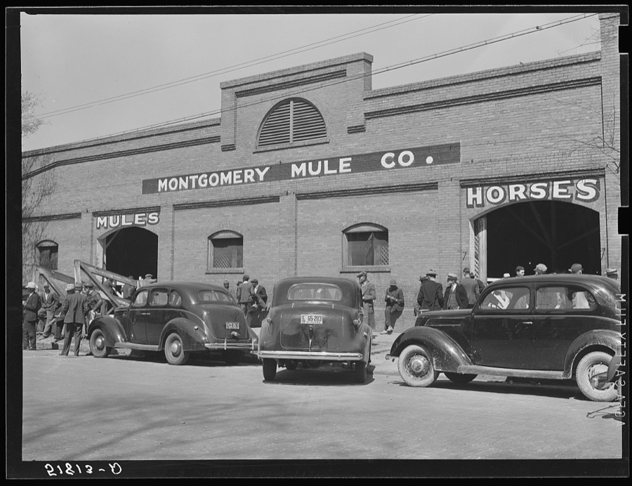
Surveyed structures

36 structures

The vanished settlements of Montgomery County, the places these records name that are no longer on the map.
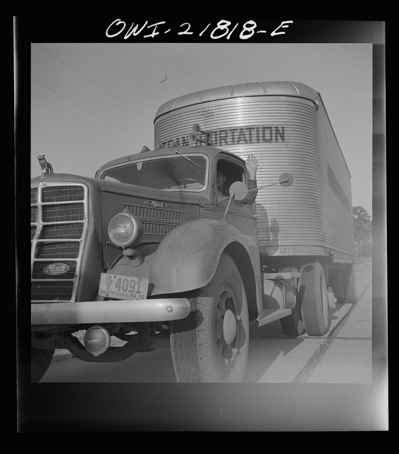
Provenance

  • Topographic sheets. USGS Historical Topographic Map Collection, county index, measured from the bulk metadata.
  • Fire insurance maps. Library of Congress Sanborn collection, faceted to this county.
  • Photographs. Each place queried individually against the Library of Congress Prints and Photographs search.
  • Wildfire. Short, Karen C. 2022. Spatial wildfire occurrence data for the United States, 1992-2020 [FPA_FOD_20221014]. 6th Edition. Fort Collins, CO: Forest Service Research Data Archive. https://doi.org/10.2737/RDS-2013-0009.6 Collected with United States Government funding and usable without additional permissions or fees.
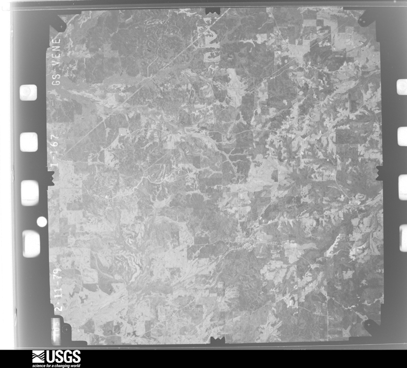
  • Mines and quarries. USGS Mineral Resources Data System (MRDS) https://mrdata.usgs.gov/mrds/ A work of the United States government, no copyright under 17 U.S.C. 105.
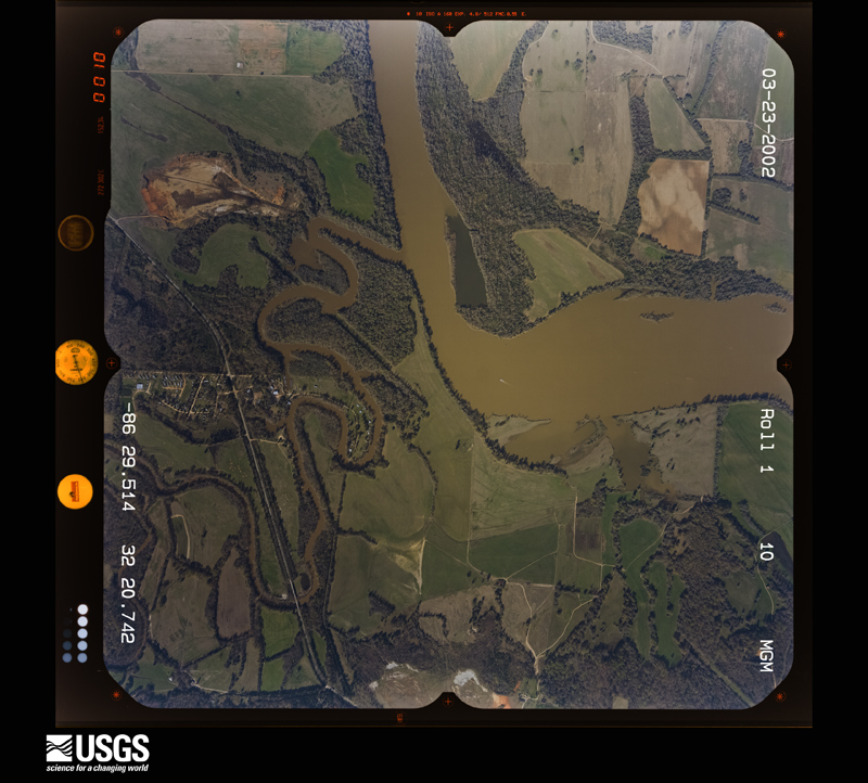
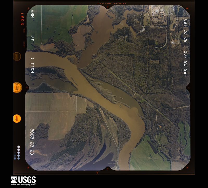
  • Storms. NOAA National Centers for Environmental Information, Storm Events Database https://www.ncei.noaa.gov/stormevents/ A work of the United States government, no copyright under 17 U.S.C. 105. Narratives are quoted verbatim from the National Weather Service report and are not edited or summarised.