 Block
Nanafalia, Alabama
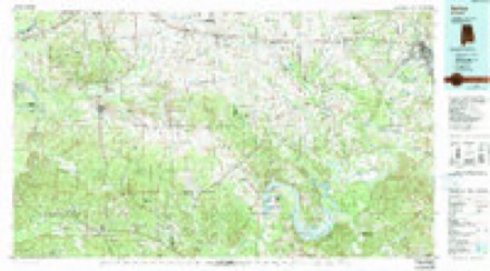
10 topographic sheets cover this place, the earliest surveyed in 1953 and the latest in 1986. It stands in the Sweet Water census division. It lies in ZIP code area 36782. The Survey maps it on the Nanafalia quadrangle.
On record in Nanafalia
Buildings and businesses the archive holds for this place. Each opens its own page, with the source record it came from.
Surveyed buildings and structures 1 record
- William B. Crumpton Bridge, Spanning Tombigbee River on Alabama State Highway 10, Nanafaliafederal building survey, 8 photographs
Topographic sheets covering this place
5 surveys from 10 printed sheetsMatched by testing this settlement's coordinate against the published boundary of every sheet in the United States Geological Survey's historical collection. Each opens the scanned sheet at the Survey.
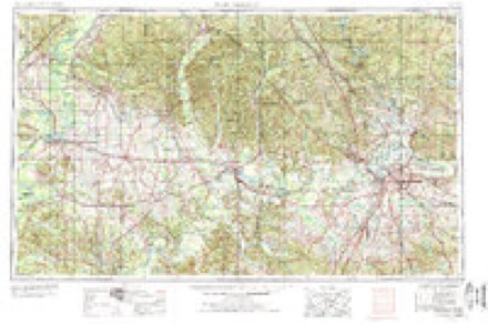
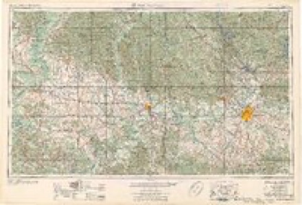
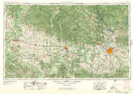
- 1953 USGS Montgomery quadrangle1:250000, 4 printings
- 1956 USGS Montgomery quadrangle1:250000
- 1957 USGS Montgomery quadrangle1:250000
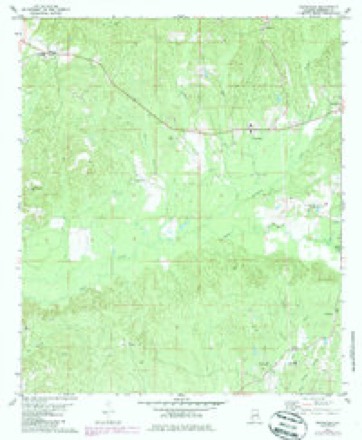
- 1978 USGS Nanafalia quadrangle1:24000, 2 printings
- 1986 USGS Selma quadrangle1:100000, 2 printings
Photographs
1 photograph,Taken for the Office of War Information and the Farm Security Administration, who photographed the country between 1935 and 1944. Works of United States government photographers, with no known restriction on use. Each opens its catalogue record.
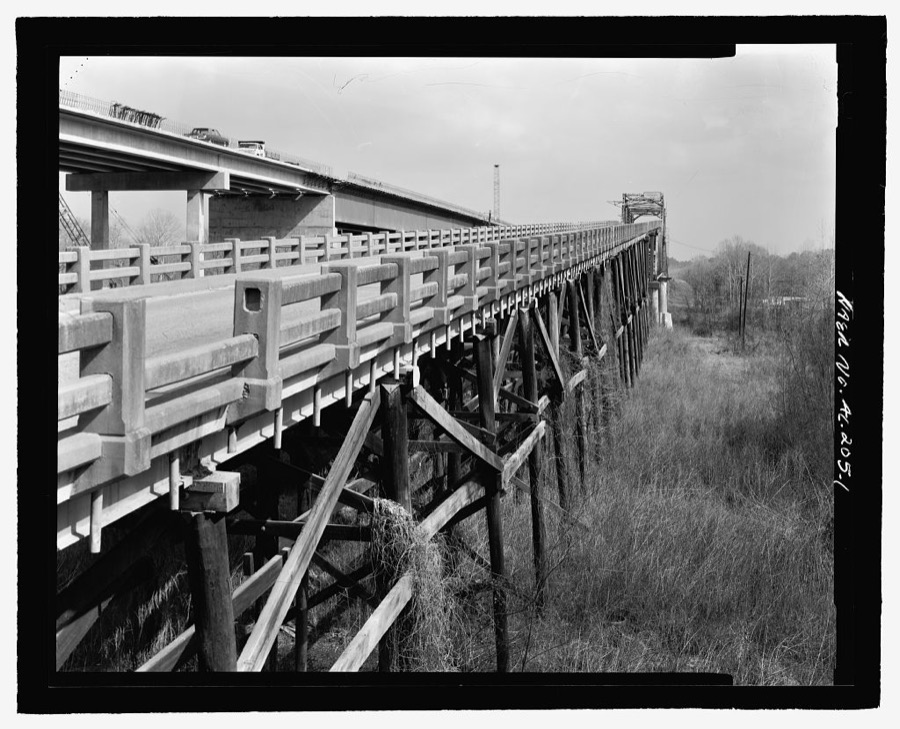
Photographer not recorded. Library of Congress
Fires near this place
54 since 1994Regional context, not property-specific evidence. The federal wildfire occurrence database lists 54 fires within 5 miles of Nanafalia between 1994 and 2020, burning about 719 acres in total. 1 started naturally. 3 were recorded as arson. Distance is straight-line from the map coordinates, so a fire counted here may appear on a neighbouring settlement's page as well.
| Reported cause | Fires |
|---|---|
| Missing data/not specified/undetermined | 25 |
| Debris and open burning | 19 |
| Recreation and ceremony | 4 |
| Arson/incendiarism | 3 |
| Equipment and vehicle use | 2 |
| Natural | 1 |
The most recent of them, most recent first, with the day each was reported and the service that recorded it.
| Date | Cause | Size | Reported by | Name on the report |
|---|---|---|---|---|
| 20 September 2020 | Missing data/not specified/undetermined | 3.0 acres | Alabama Forestry Commission | 20200920-3 |
| 12 September 2019 | Debris and open burning | under an acre | Alabama Forestry Commission | 20190912-11 |
| 7 August 2006 | Natural | 80 acres | Alabama Forestry Commission | not named |
| 10 August 2006 | Debris and open burning | 1.0 acres | Alabama Forestry Commission | not named |
| 8 July 2019 | Missing data/not specified/undetermined | under an acre | Alabama Forestry Commission | 20190708-3 |
| 24 July 2016 | Debris and open burning | 3.0 acres | Alabama Forestry Commission | 20160724-1 |
| 11 July 2019 | Missing data/not specified/undetermined | under an acre | Alabama Forestry Commission | 20190711-4 |
| 1 June 2011 | Equipment and vehicle use | 2.5 acres | Alabama Forestry Commission | CO RD 26/W OFF HWY 41, AL |
Settlements close enough to share some of these fires:
Storms near this place
5 since 2011Regional context, not property-specific evidence. The National Weather Service names Nanafalia in 5 storm reports between 2011 and 2022: 4 tornado, 1 hail. The reports record 1 death and 4 injuries. Each account below is quoted exactly as the forecast office filed it, from the NOAA Storm Events Database, and each date opens the federal record of that event.
| When | Event | Place named | Harm | What the report says |
|---|---|---|---|---|
| April 2011 | Tornado (EF3) | Nanafalia | 1 killed, 4 hurt, $3,990,000 | A tornado touched down in Marengo County just west of County Road 90 in a rural setting. The tornado moved northeastand snapped or uprooted dozens of trees. As the tornado crossed State Highway 69 just south of Myrtlewood, it strengthened to an EF-3 rating, with maximum winds of 150 mph. Several dozen mobile homes were heavily damage or destroyed, resulting in 1 fatality. In the community of Hilltop, several more mobile homes were destroyed, resulting in 4 injuries. The tornado continued to move northeast where it snapped and uprooted many more trees. It lifted after it crossed State Highway 28, northwest of Linden. The tornado had a slight left turn to its path. |
| April 2011 | Tornado (EF2) | Nanafalia | $3,480,000 | A tornado initially touched down in Choctaw County Alabama and moved northeast. It crossed into Marengo County several miles southwest of Nanafalia. The tornado continued to move northeast where it snapped or uprooted numerous trees. As it moved into Nanafalia, the tornado straightened to an EF-2 with maximum winds of 135 mph. Several homes sustained moderate damage due to falling trees. A couple of homes lost parts of their roofs. The tornado lifted just northeast of County Road 33. |
| April 2022 | Hail | Nanafalia | - | Large hail reported along Highway 10 between Nanafalia and Sweet Water. |
| March 2021 | Tornado (EF2) | Nanafalia | - | National Weather Service meteorologists surveyed damage in southwest Marengo County and determined that it was consistent with an EF2 tornado, with maximum winds near 115 mph.||The tornado crossed the Tombigbee River from Choctaw County just south of Highway 10. It produced significant damage on South Riverview Lane, just south of Alabama Highway 10. In this area, an older single wide mobile home was destroyed with the frame tossed at least 50 yards to the east. In addition, a large storage building was also destroyed. Significant tree damage was noted in the area with several hardwood and softwoods snapped and uprooted. In this area, the tornado is estimated to have been at low end EF2 intensity with winds around 115 mph. The tornado continued northeast and crossed Highway 10, producing substantial tree damage and also heavily damaging one barn and destroying another. The tornado continued to produce substantial tree damage as it crossed Highway 69. As the tornado moved east of Highway 69, the road network did not allow the survey team to assess the damage over a large forested area. However, damage was noted along Highway 17, north of Beaver Creek Road. It is not known how much farther to the northeast the tornado continued due to no road access, but the tornado did not reach Highway 43. |
| April 2011 | Tornado (EF1) | Nanafalia | - | A tornado initially touched down in Choctaw County (see Mobile Storm Data), and moved northeastward into Marengo County, where several trees were snapped or uprooted. The damage path for this tornado is based on eyewitness accounts. The area was impacted by stronger tornado in the afternoon hours that took roughly the same path. The tornado lifted just northeast of Nanafalia. |
Nearest settlements
The eight closest, with where each one stands in the county. Distances are straight-line, computed from the Geographic Names Information System coordinates.
| Map | Place | Distance | Sheets |
|---|---|---|---|
| Barrons (historical) | 1.3 miles | 8 | |
| Geneva | 3.4 miles | 9 | |
| Hornsboro (historical) | 3.8 miles | 8 | |
| Aimwell | 4.4 miles | 10 | |
| Coxheath | 4.5 miles | 10 | |
| Campground | 5.7 miles | 9 | |
| Sweet Water | 6.5 miles | 10 | |
| Putnam | 6.6 miles | 8 |
Provenance
This settlement is recorded in the Geographic Names Information System as feature 123631. The sheet list is computed by point-in-boundary test against the United States Geological Survey's historical topographic inventory. Both are works of the United States government and carry no copyright under 17 U.S.C. 105.
Wildfire. Short, Karen C. 2022. Spatial wildfire occurrence data for the United States, 1992-2020 [FPA_FOD_20221014]. 6th Edition. Fort Collins, CO: Forest Service Research Data Archive. https://doi.org/10.2737/RDS-2013-0009.6 Collected with United States Government funding and usable without additional permissions or fees.
Storms. NOAA National Centers for Environmental Information, Storm Events Database https://www.ncei.noaa.gov/stormevents/ A work of the United States government, no copyright under 17 U.S.C. 105. Narratives are quoted verbatim from the National Weather Service report and are not edited or summarised.