 Block
From the record
29 National Register listings published here, 1 of them a National Historic Landmark.
Sources: the National Register database, National Park Service
73 topographic sheets and 11 fire insurance atlases across 3 places.
29 National Register listings published here, 1 of them a National Historic Landmark.
Sources: the National Register database, National Park Service
Taken for the Office of War Information and the Farm Security Administration, who photographed the country between 1935 and 1944. Works of United States government photographers, with no known restriction on use. Each opens its catalogue record.
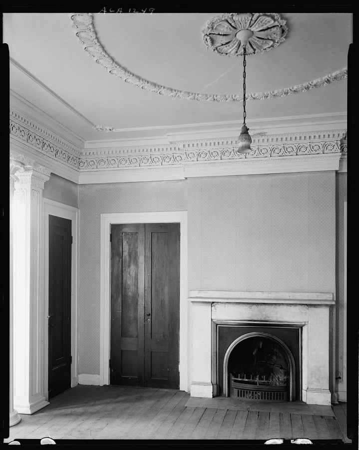


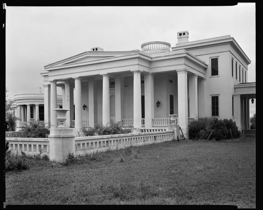
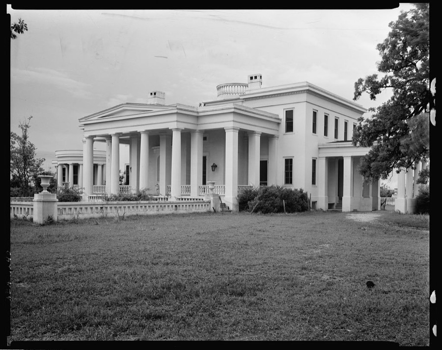



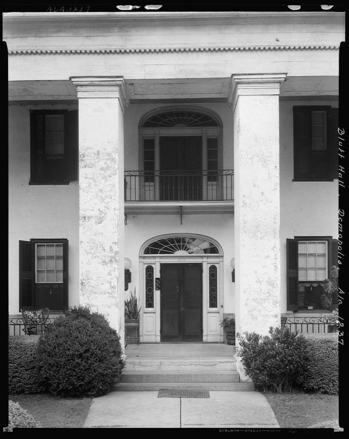
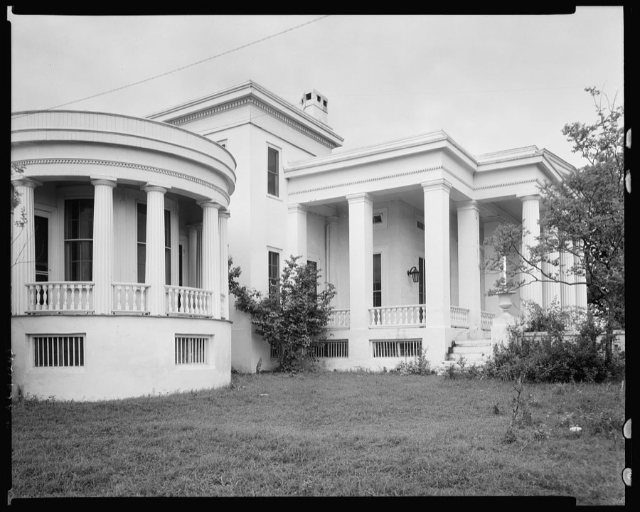
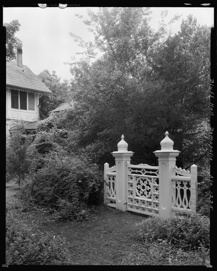
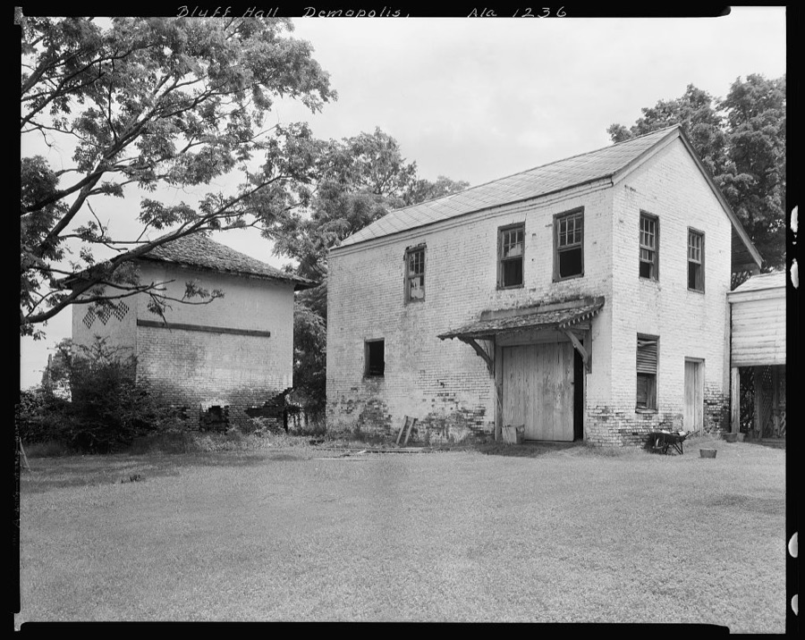

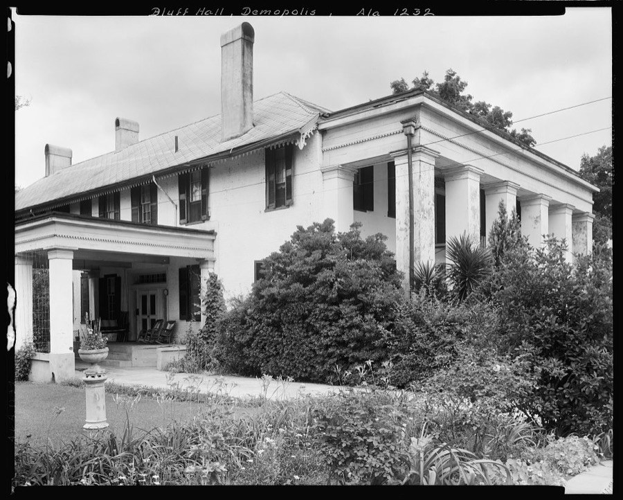
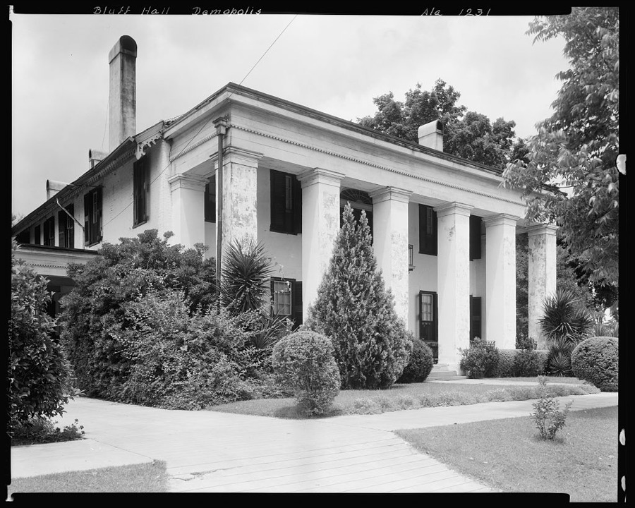
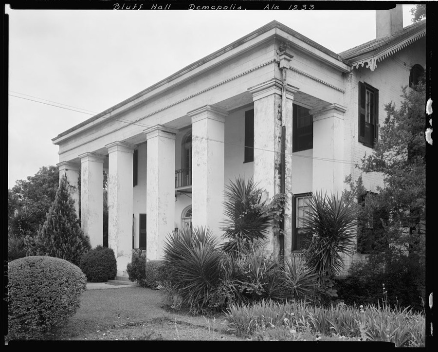
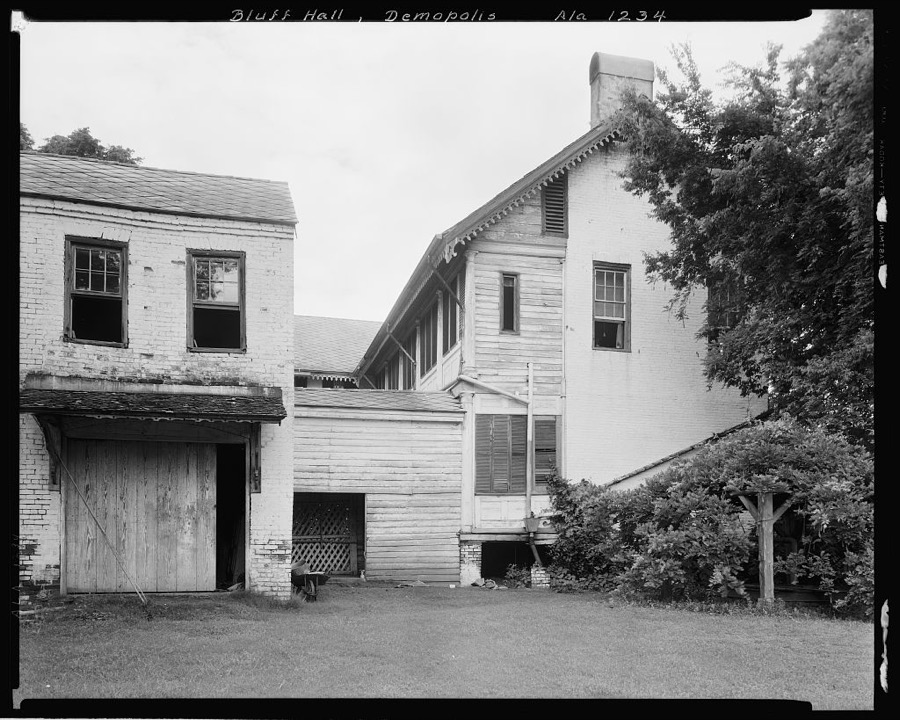
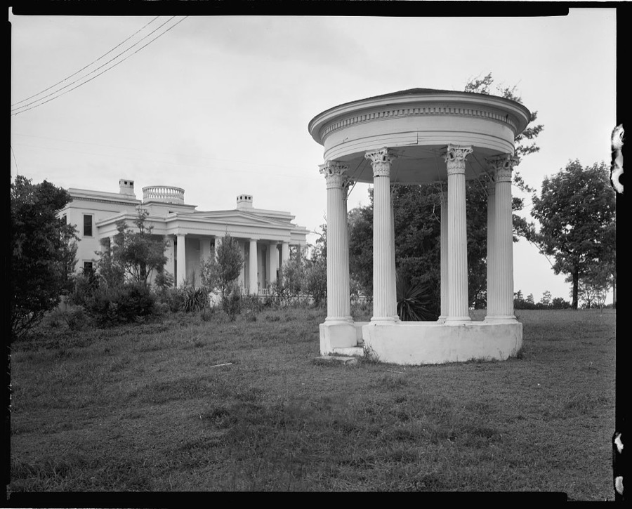
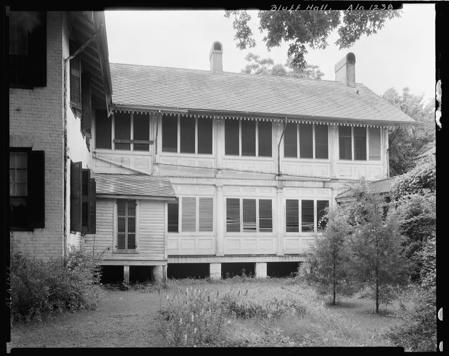

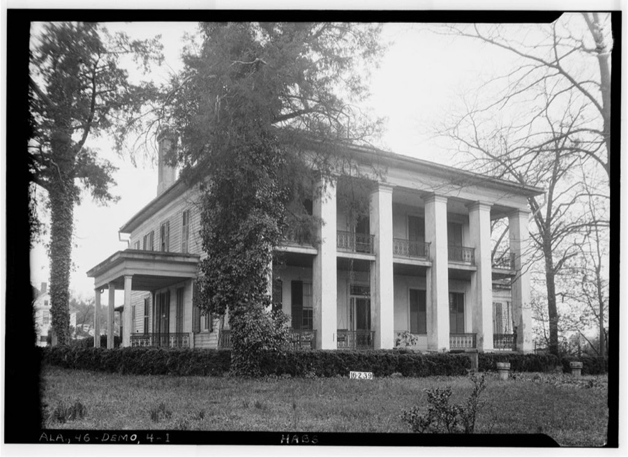
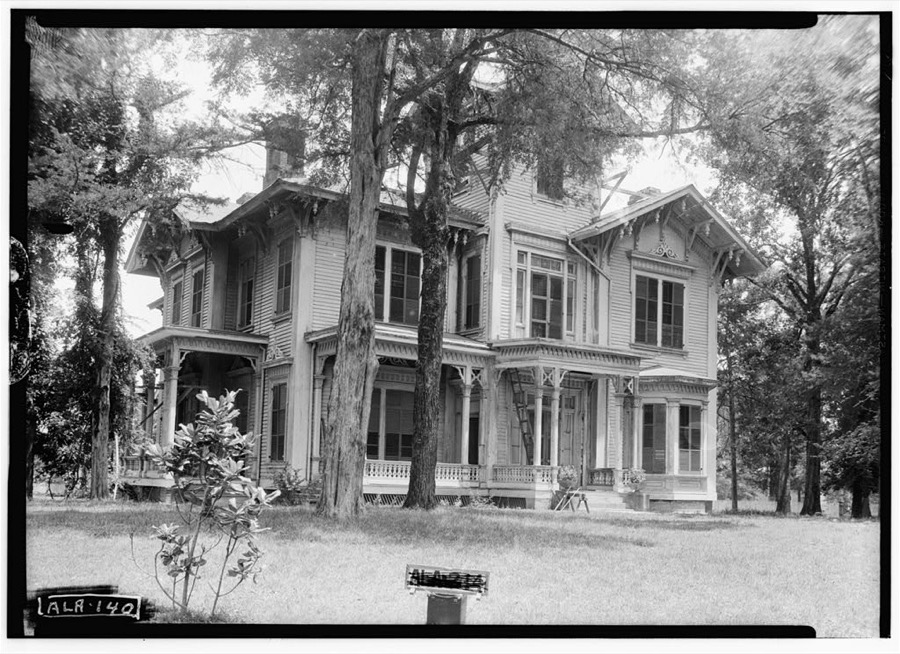
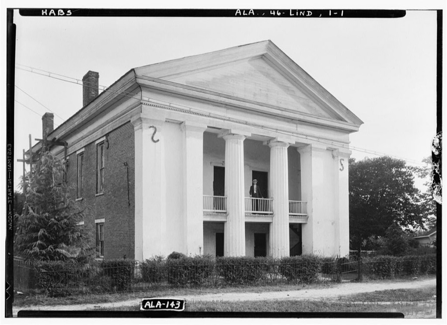
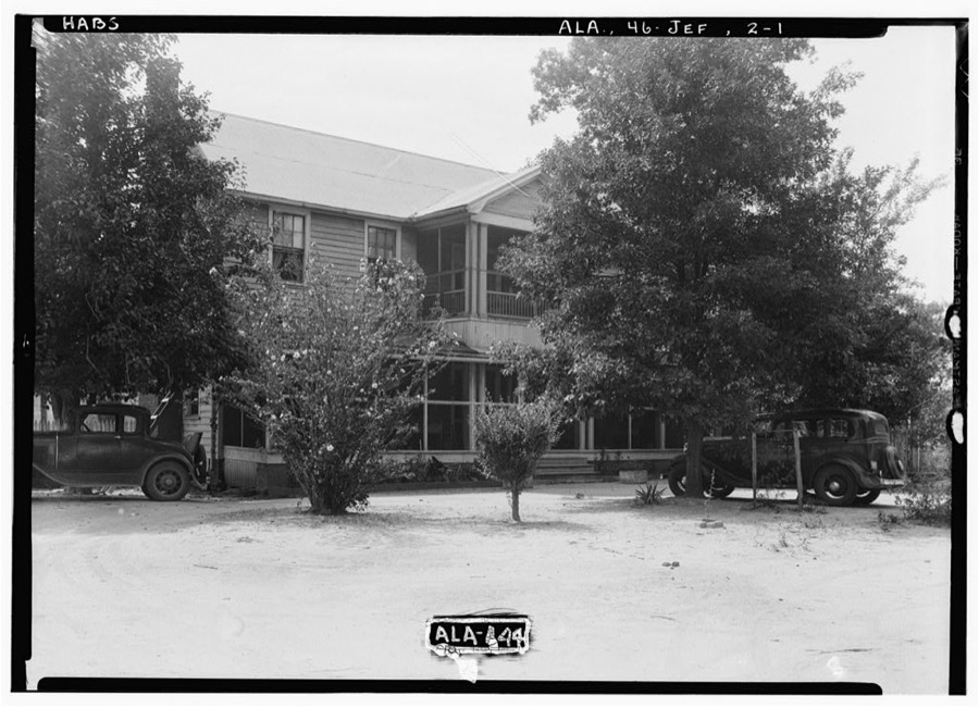
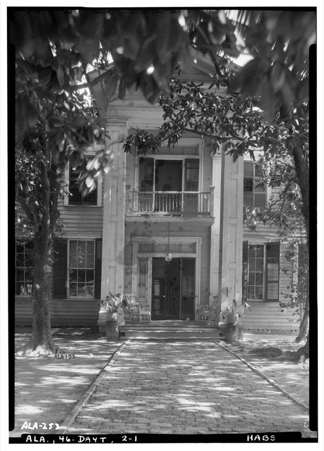
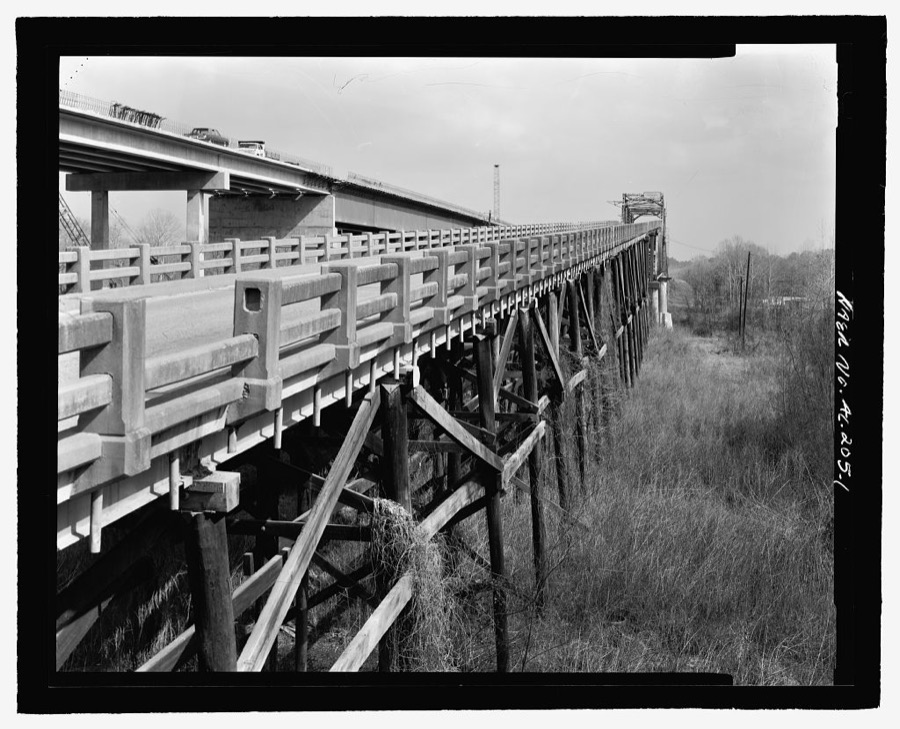
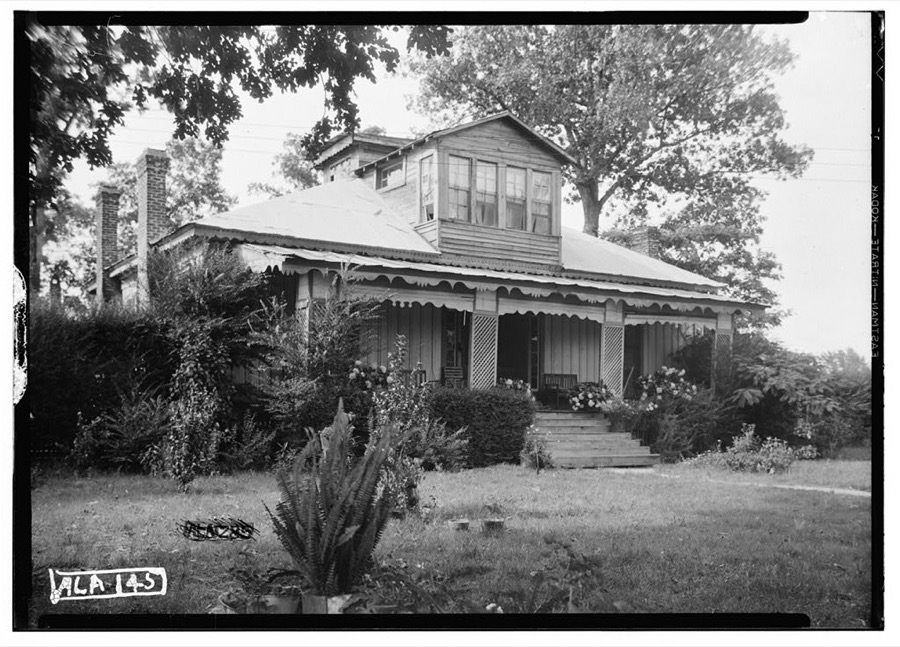
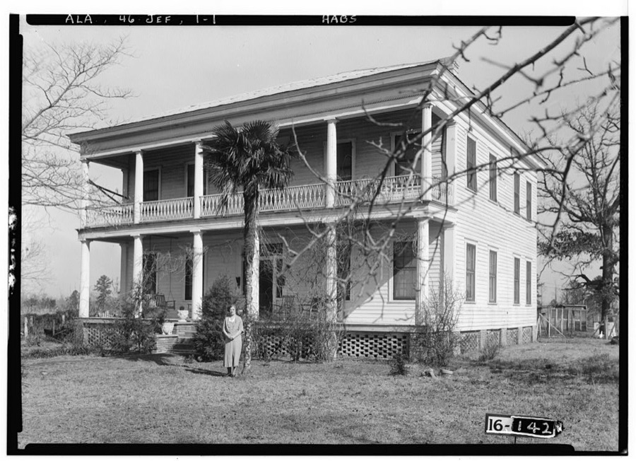

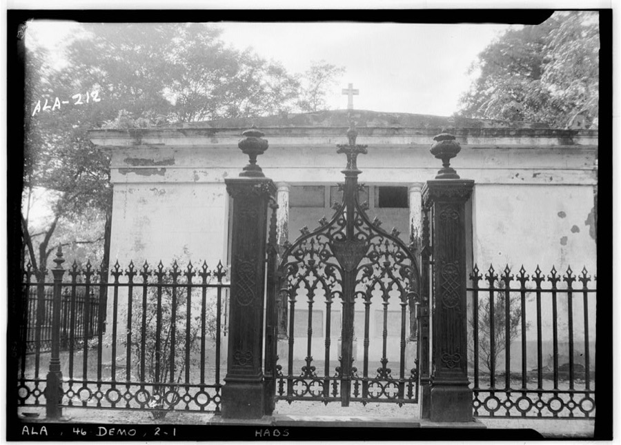
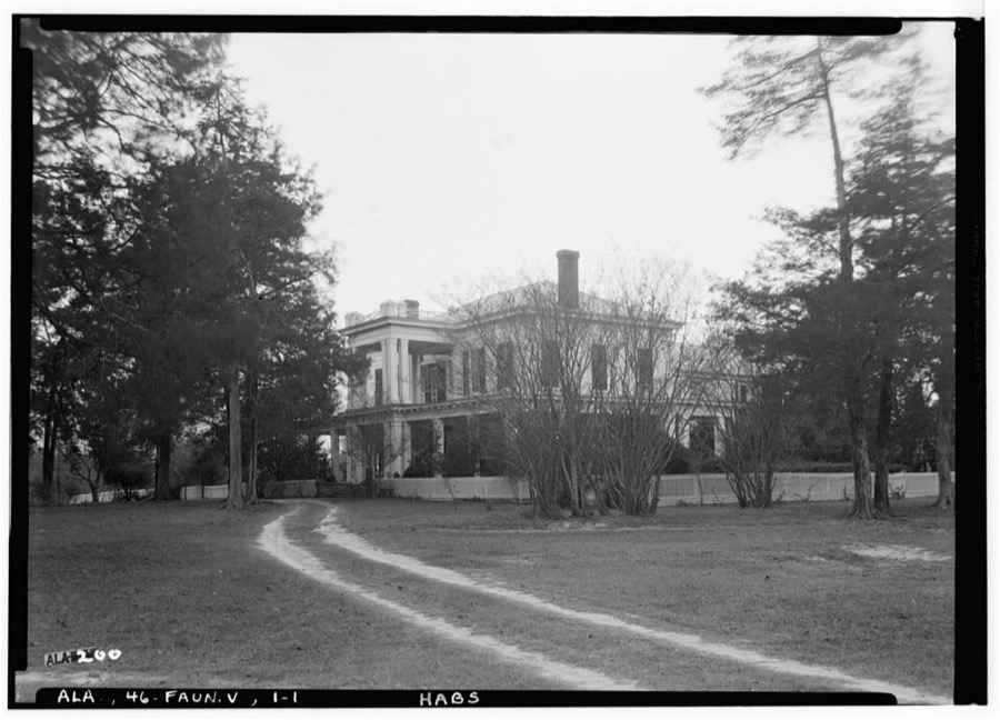
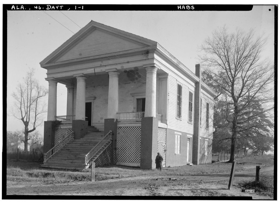
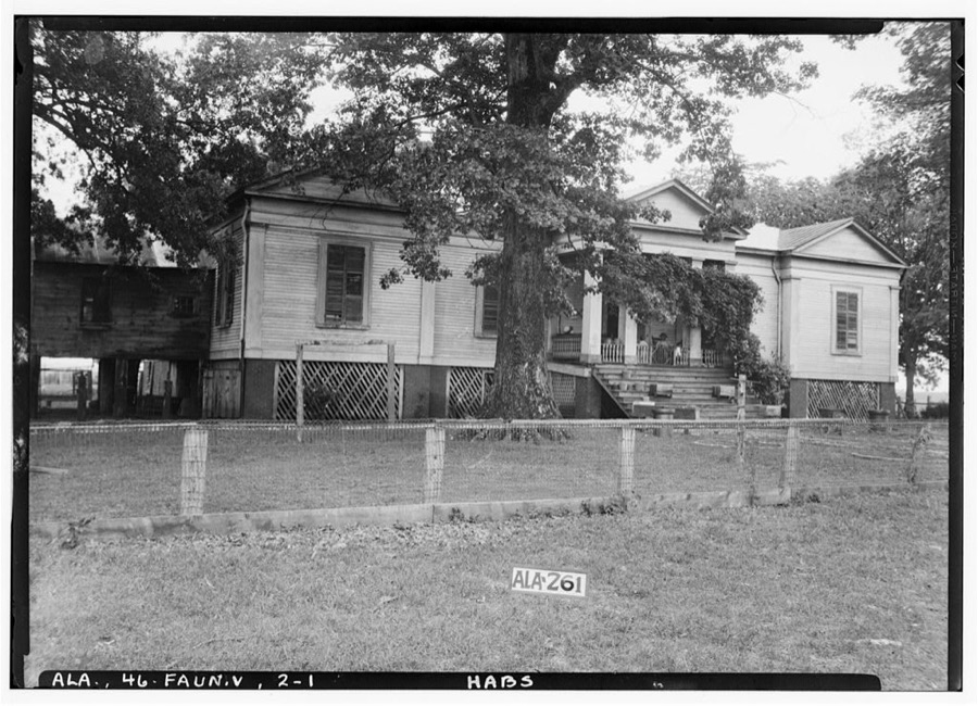
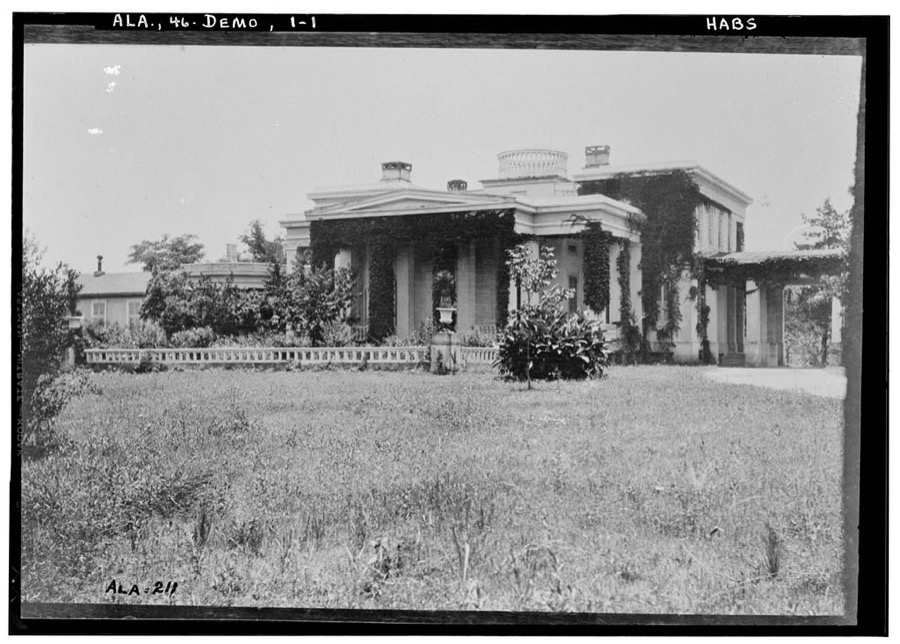
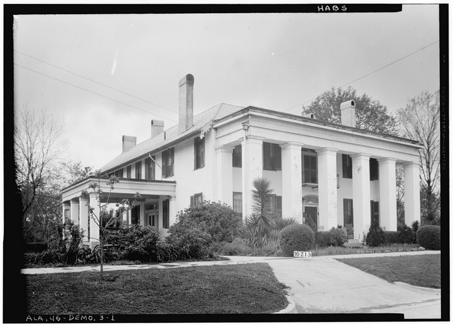
Every property in this county listed on the National Register of Historic Places, with the year it was listed and the federal nomination document.
| Photograph | Property | Type | Listed | Reference |
|---|---|---|---|---|
 | Allen Grove | district | 1994 | 94000689 |
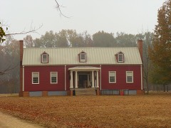 | Altwood | building | 1993 | 93000598 |
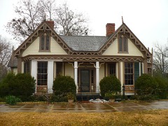 | Ashe Cottage | building | 1978 | 78000502 |
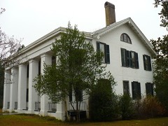 | Bluff Hall | building | 1970 | 70000105 |
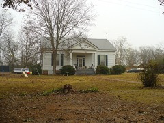 | Cedar Crest | building | 1993 | 93000763 |
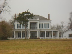 | Cedar Grove Plantation | district | 1993 | 93000599 |
| Cedar Haven | building | 1993 | 93000600 | |
 | Confederate Park | site | 1975 | 75000319 |
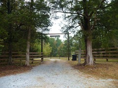 | Cuba Plantation | district | 1993 | 93000601 |
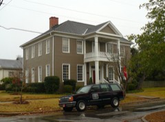 | Curtis House | building | 1977 | 77000214 |
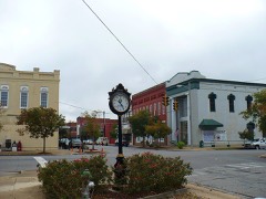 | Demopolis Historic Business District | district | 1979 | 79000391 |
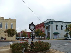 | Demopolis Historic District (Boundary Increase) | district | 2014 | 12001021 |
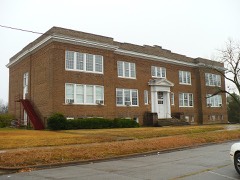 | Demopolis Public School | building | 1983 | 83003453 |
 | Patrick Farrish House | building | 2000 | 00001026 |
 | Faunsdale Plantation | district | 1993 | 93000602 |
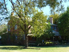 | Foscue-Whitfield House | building | 1974 | 74000423 |
 | Gaineswood | building | 1972 | 72000167 |
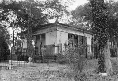 | Glover Mausoleum | building | 1974 | 74000424 |
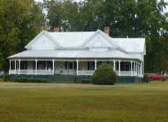 | C.S. Golden House | building | 2000 | 00001029 |
 | Half-Chance Bridge | structure | 1972 | 72000166 |
 | Jefferson Historic District | district | 1976 | 76000342 |
 | Lyon-Lamar House | building | 1974 | 74000425 |
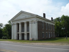 | Old Courthouse | building | 1974 | 74000426 |
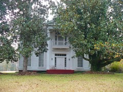 | William Poole House | district | 1994 | 94000687 |
 | Roseland Plantation | building | 1994 | 93001476 |
 | Thomaston Central Historic District | district | 2000 | 00001023 |
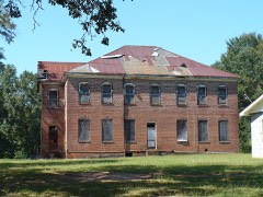 | Thomaston Colored Institute | building | 2000 | 00001024 |
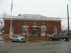 | US Post Office | building | 1984 | 84000657 |
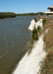 | White Bluff | site | 1970 | 70000106 |
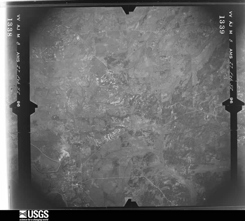
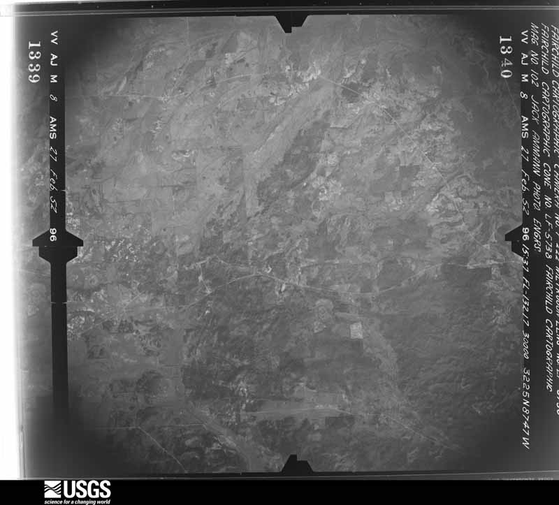
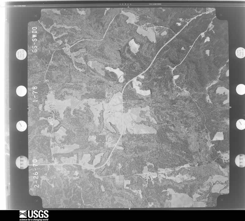
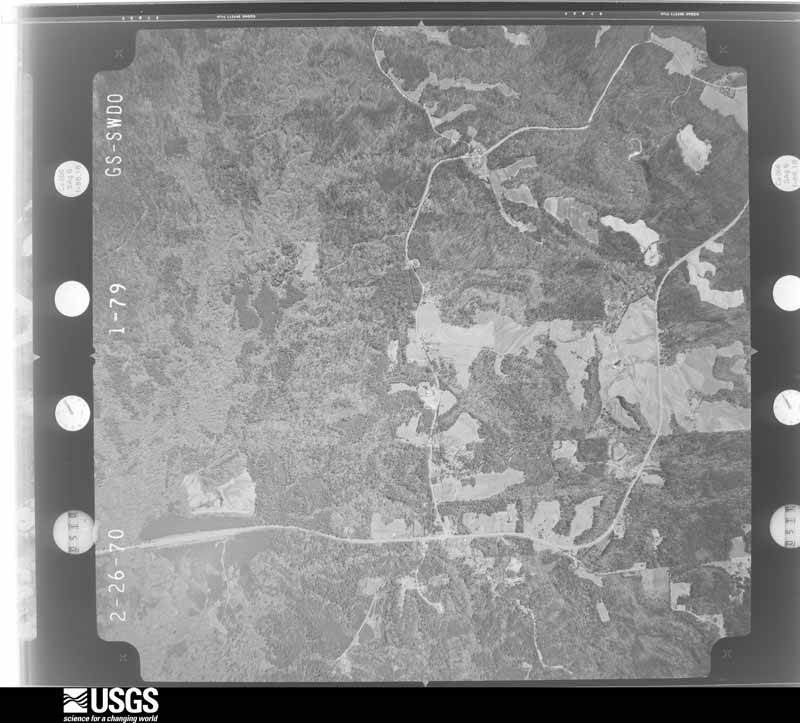
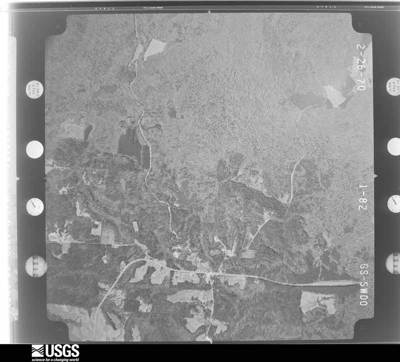
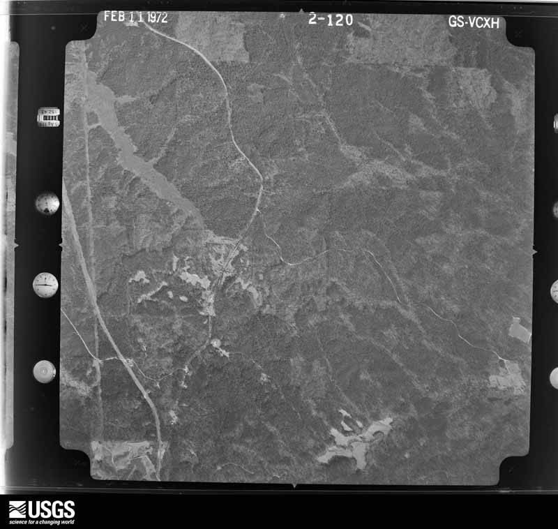
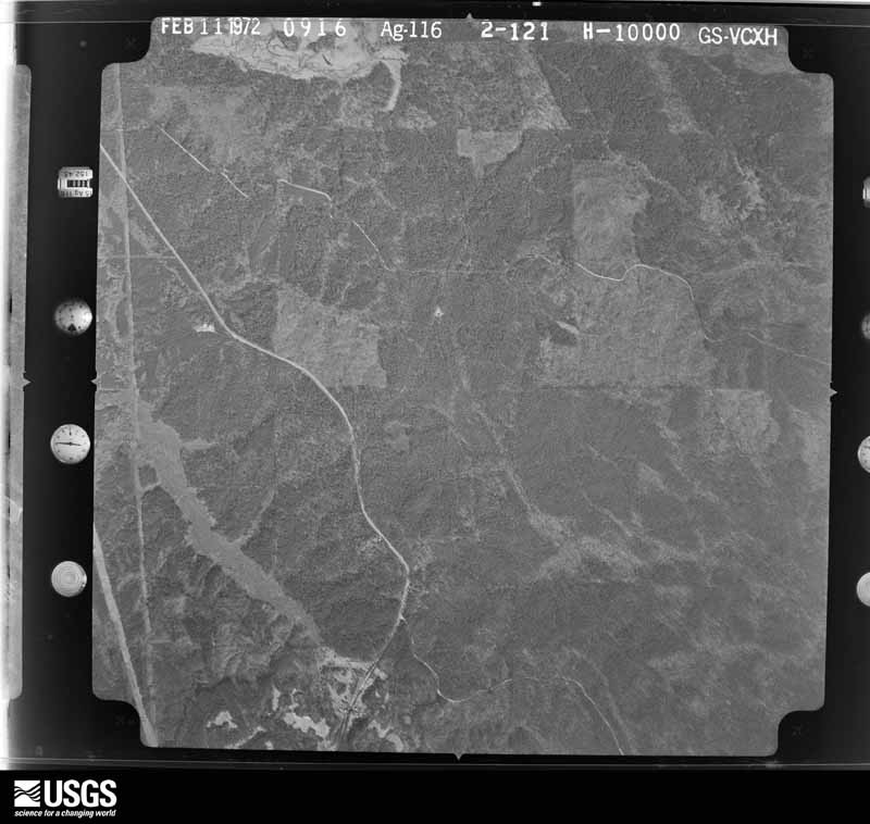
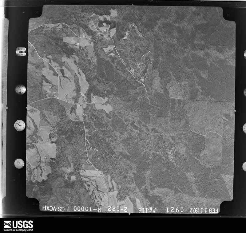
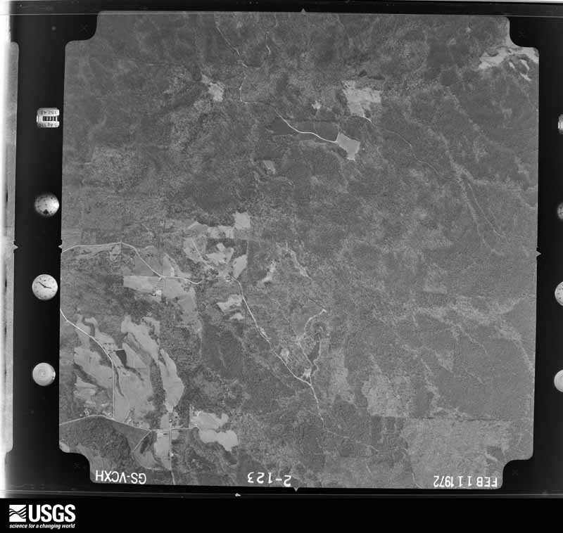
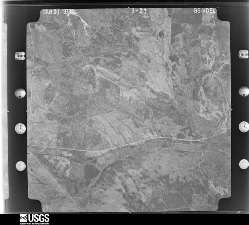
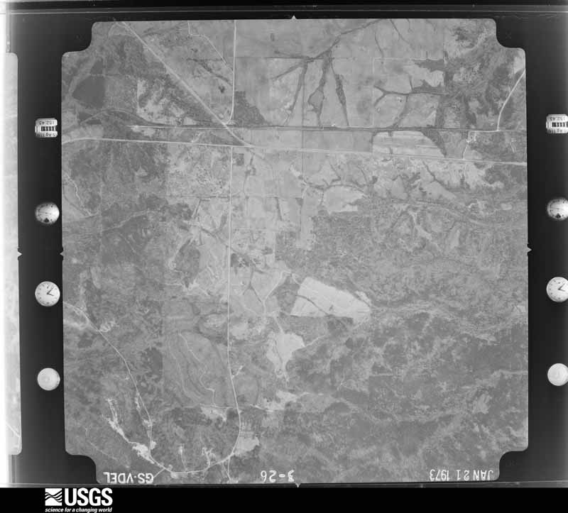
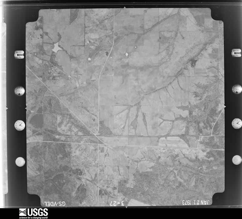
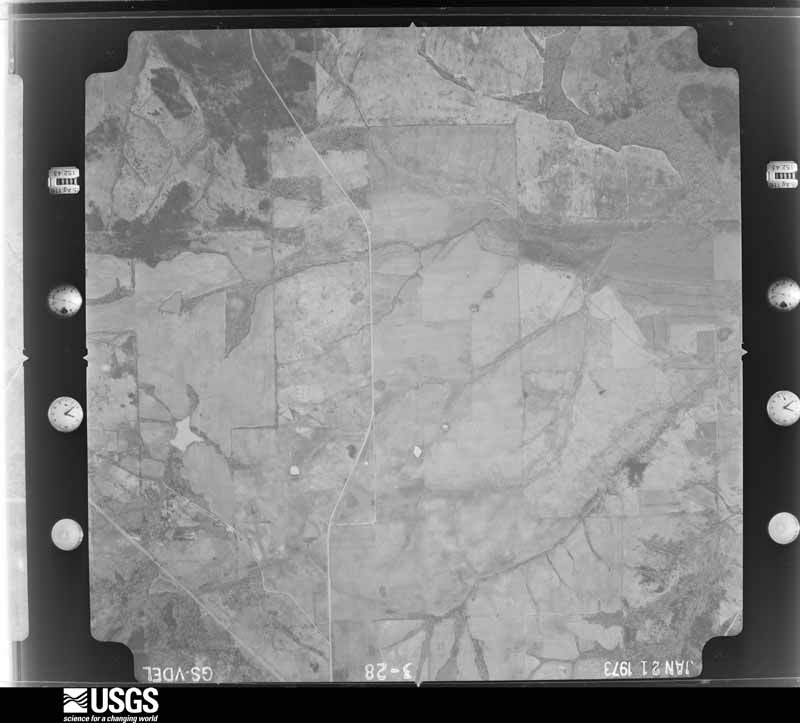
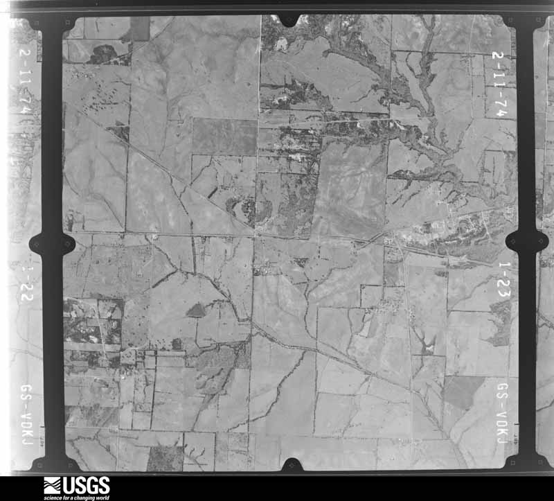
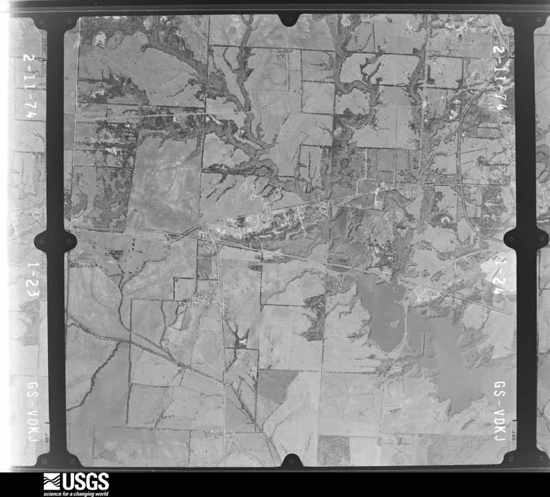
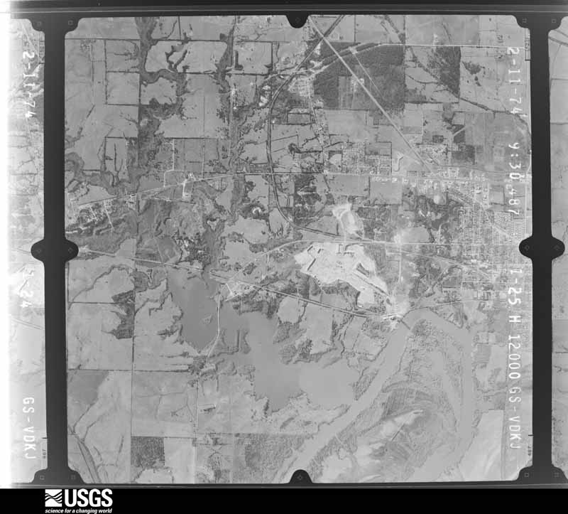
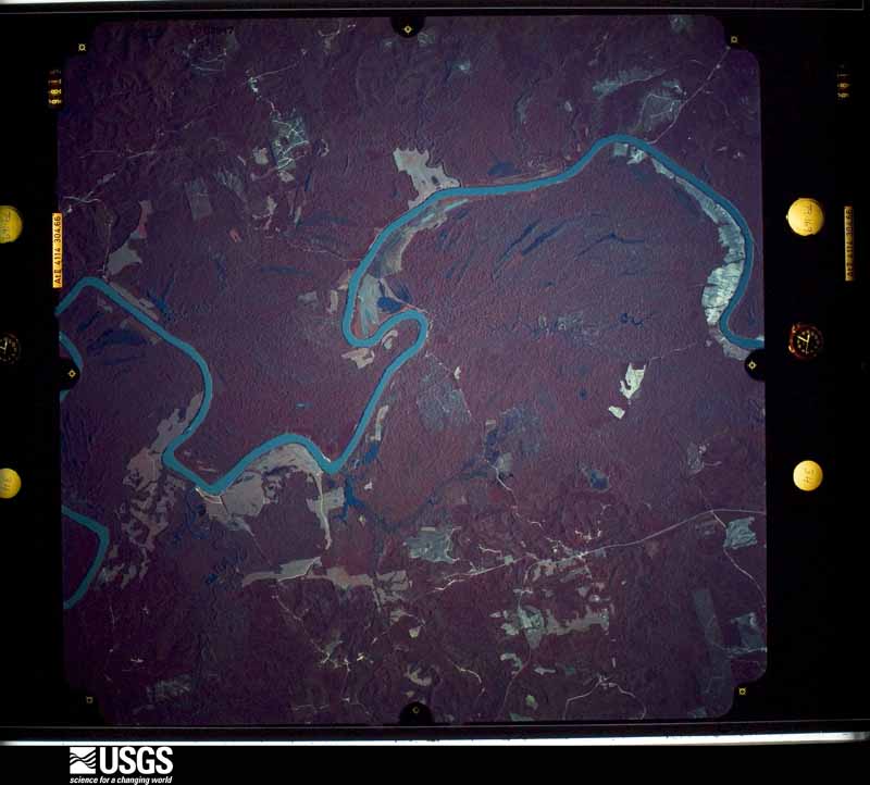
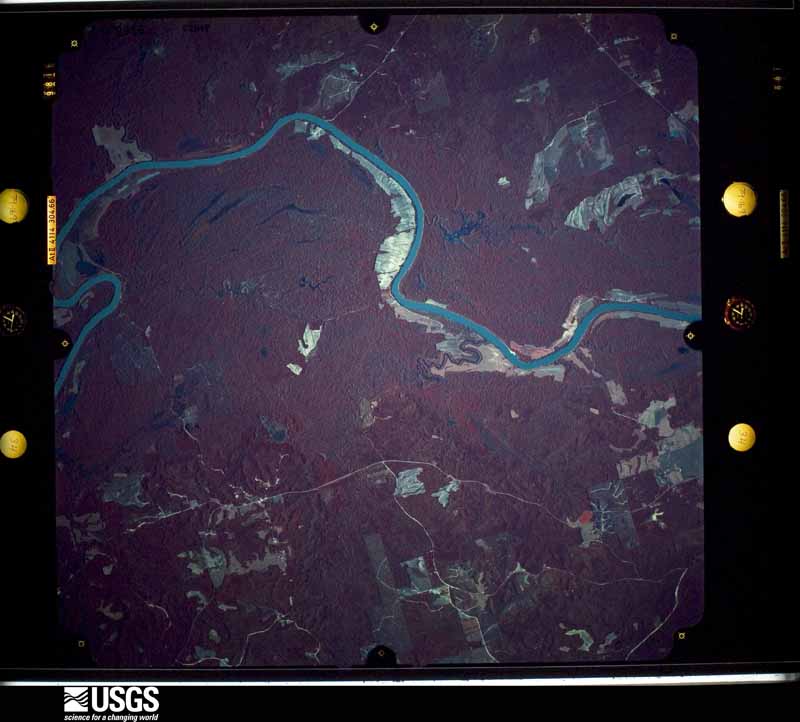
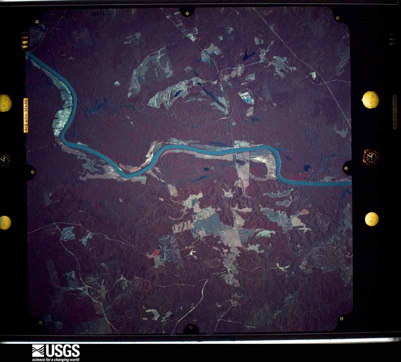
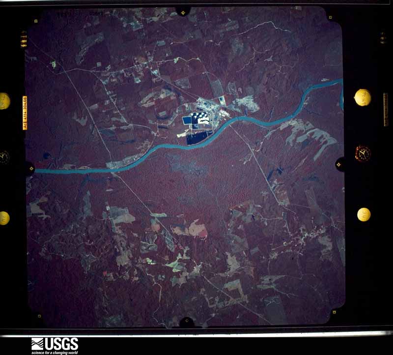
Flown by the U.S. Geological Survey between 1937 and 1989, the Aerial Photo Single Frames collection is the definitive mid-century view of the land: fields, roads and rivers as the camera saw them. The Survey holds 1,576 frames inside the rectangle that bounds this county; the 27 frames below were taken over the county itself, chosen across the decades of flights (at most four a year from that rectangle), so one flight cannot crowd out the rest. The full set is free to browse and download at EarthExplorer under the dataset Aerial Photo Single Frames.


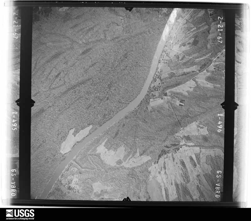
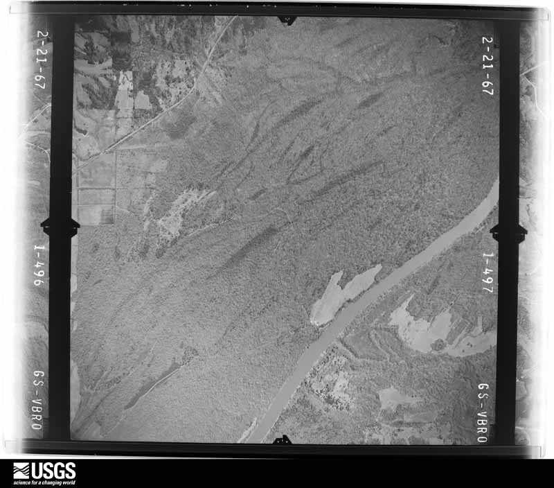
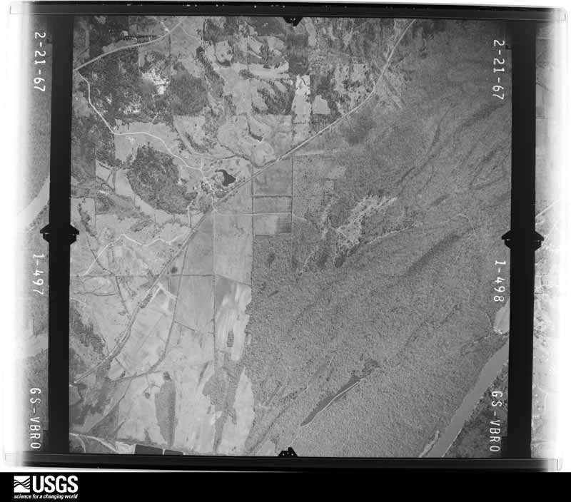
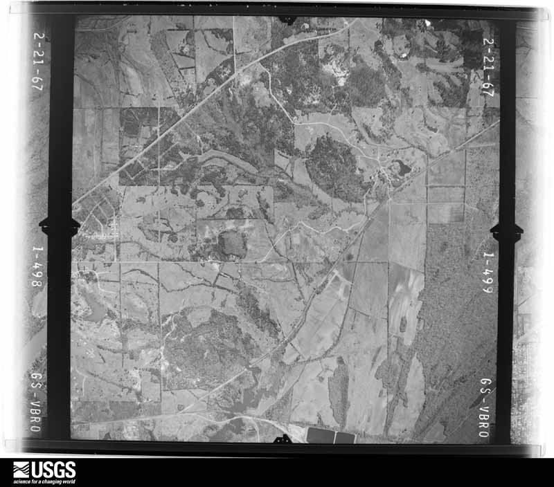

The thermometers that kept this county's weather, and the gages that measured the flow of its streams, as the federal records hold them. The extremes below are measured values from those records, not estimates.
Who lived here in 1950, one enumeration district at a time, as the Census Bureau described each district. Each row opens its official National Archives result, with Population Schedules and ED Maps available there.
Every wildfire the federal occurrence database records inside this county: 683 of them, burning about 10,710 acres. 14 started naturally and 20 were recorded as arson. Each settlement page carries the fires within five miles of it.
| Reported cause | Fires |
|---|---|
| Missing data/not specified/undetermined | 281 |
| Debris and open burning | 236 |
| Recreation and ceremony | 55 |
| Equipment and vehicle use | 39 |
| Arson/incendiarism | 20 |
| Natural | 14 |
| Railroad operations and maintenance | 10 |
| Misuse of fire by a minor | 9 |
| Smoking | 8 |
| Power generation/transmission/distribution | 7 |
| Other causes | 4 |
The five largest, by the area the report gives. None of them was recorded as arson.
| Date | Cause | Size | Reported by | Name on the report |
|---|---|---|---|---|
| 15 September 2000 | Missing data/not specified/undetermined | 4,000 acres | Alabama Forestry Commission | COUNTY LINE |
| 28 November 2016 | Missing data/not specified/undetermined | 280 acres | Alabama Forestry Commission | 20161128-61 |
| 14 February 2015 | Missing data/not specified/undetermined | 246 acres | Alabama Forestry Commission | SWR-20150214-005 |
| 11 June 2007 | Missing data/not specified/undetermined | 217 acres | Alabama Forestry Commission | WATSON |
| 16 September 2010 | Railroad operations and maintenance | 187 acres | Alabama Forestry Commission | GULF STATES RAILROAD FIRE |
| 2 February 2018 | Equipment and vehicle use | 145 acres | Alabama Forestry Commission | 20180202-2 |
| 13 March 2007 | Missing data/not specified/undetermined | 138 acres | Alabama Forestry Commission | MYRTLEWOOD |
| 2 July 2006 | Missing data/not specified/undetermined | 110 acres | Alabama Forestry Commission | LINDEN |
Every settlement page carries the fires within five miles of it - see the settlement index below.
The NOAA Storm Events Database holds 254 reports for this county, causing 2 deaths, 22 injuries and about $27,753,200 in recorded property damage. Each settlement page carries the reports that name it.
| Kind of event | Reports |
|---|---|
| Thunderstorm Wind | 119 |
| Hail | 75 |
| Tornado | 48 |
| Flash Flood | 7 |
| Lightning | 3 |
| Funnel Cloud | 1 |
| Heavy Rain | 1 |
The most serious of them, by death, then injury, then recorded damage. The accounts are quoted exactly as the forecast office filed them.
| When | Event | Place named | Harm | What the report says |
|---|---|---|---|---|
| April 2011 | Tornado (EF3) | Nanafalia | 1 killed, 4 hurt, $3,990,000 | A tornado touched down in Marengo County just west of County Road 90 in a rural setting. The tornado moved northeastand snapped or uprooted dozens of trees. As the tornado crossed State Highway 69 just south of Myrtlewood, it strengthened to an EF-3 rating, with maximum winds of 150 mph. Several dozen mobile homes were heavily damage or destroyed, resulting in 1 fatality. In the community of Hilltop, several more mobile homes were destroyed, resulting in 4 injuries. The tornado continued to move northeast where it snapped and uprooted many more trees. It lifted after it crossed State Highway 28, northwest of Linden. The tornado had a slight left turn to its path. |
| February 2020 | Tornado (EF1) | Old Spring Hill | 1 killed, 1 hurt | National Weather Service meteorologists surveyed damage in northern Marengo County and determined that it was consistent with an EF1 tornado, with maximum winds near 110 mph. The tornado touched down southeast of Demopolis, west of U.S. Highway 43. The tornado tracked northeast and produced damage near Starmont Lane and Orchard Drive. Several trees were uprooted or were snapped off. Two homes suffered minor damage. The most concentrated damage occurred at U.S. Highway 43 near County Road 54. This is the location where two manufactured homes were destroyed and two homes were damaged. The one injury and the one fatality occurred in the manufactured home that was totally destroyed. Several trees were blown down in this location as well. The tornado continued across U.S. Highway 43 where it destroyed a barn and uprooted many more trees. The tornado then lifted before it crossed French Creek. |
| April 2011 | Tornado (EF2) | Myrtlewood | 3 hurt, $14,000,000 | A tornado touched down in Smith County, Mississippi and tracked through Jasper and Clarke Counties (See Storm Data Jackson), causing EF4 rated damage. The tornado then crossed into Choctaw County (See Storm Data Mobile) Alabama, causing EF3 rated damage. The tornado tracked across portions of Sumter, Marengo and western Perry Counties, before it dissipated. The tornado crossed into western Marengo County south of Old Locke 3 Rd and continued to cause significant tree damage as it tracked northeastward. The tornado crossed AL Hwy 28 south of Pin Hook and US Hwy 43 north of Chickasaw State Park. The tornado continued northeast through the Faunsdale area where it significantly damaged or destroyed several outbuildings and homes. At least 3 injuries occurred along Nash Rd. The tornado crossed US Hwy 80 and into Perry County north of CR 26. |
| December 2019 | Tornado (EF2) | Demopolis Muni Arpt | 3 hurt | National Weather Service meteorologists surveyed damage in extreme northwest Marengo County and determined that it was consistent with an EF2 tornado, with maximum sustained winds near 120 mph.||The tornado first touched down along County Road 28 where minor tree damage was noted on the east side of the road. The tornado tracked northeast over mainly forested areas of Marengo County for several miles producing sporadic tree damage. The tornado widened and strengthened rapidly as it continued northeast toward Highway 80. The tornado reached its widest point near Highway 80. Substantial tree damage was noted on both the north and south sides of Highway 80 along and near the intersection of County Road 57. A home sustained roof damage along County Road 57. On the north side of Highway 80, property and structural damage was extensive. Several homes sustained roof and structural damage. One brick home sustained complete roof loss and partial wall collapse.||Just east of that location, a single-wide and double-wide manufactured home on the same property were completely destroyed with the undercarriage of both blown a substantial distance. Inspection of both dwellings indicated little to no anchorage of the structures. Three people were reported injured at this location with one being airlifted for more serious injuries. Tree damage in this area was extensive with large old growth hardwoods snapped. The combination of the damage to the conventional brick home, along with the tree damage and manufactured home destruction, prompted the maximum wind rating of 120 mph. The tornado continued its northeast movement damaging additional structures north of Highway 80 before narrowing and weakening south of the Sumter County line, just west of downtown Demopolis. |
| November 2004 | Tornado (F2) | Thomaston | 2 hurt, $135,000 | no account filed |
| February 1961 | Tornado (F1) | not stated | 2 hurt, $25,000 | no account filed |
| July 2000 | Thunderstorm Wind | Demopolis | 2 hurt, $10,000 | Trees were reported down in the community, and a store in the community received roof damage as a result of high thunderstorm winds. Two people received minor injuries at the store. |
| March 1976 | Tornado (F2) | not stated | 1 hurt, $250,000 | no account filed |
| May 2009 | Thunderstorm Wind | Linden | 1 hurt, $50,000 | Hundreds of trees were blown down throughout Marengo County, including near Linden. One tractor trailer was blown over on US-80. The driver suffered minor injuries. At least 2 homes in Linden were damaged by fallen trees. |
| June 2019 | Thunderstorm Wind | Shortleaf | 1 hurt | A woman was injured by an uprooted tree in Foscue Creek Park. |
| June 2004 | Lightning | Linden | 1 hurt | The Linden Postmaster was struck by lightning. The postmaster suffered only slight injuries. |
| March 1991 | Thunderstorm Wind | not stated | 1 hurt | no account filed |
| April 2011 | Tornado (EF2) | Nanafalia | $3,480,000 | A tornado initially touched down in Choctaw County Alabama and moved northeast. It crossed into Marengo County several miles southwest of Nanafalia. The tornado continued to move northeast where it snapped or uprooted numerous trees. As it moved into Nanafalia, the tornado straightened to an EF-2 with maximum winds of 135 mph. Several homes sustained moderate damage due to falling trees. A couple of homes lost parts of their roofs. The tornado lifted just northeast of County Road 33. |
| April 2011 | Tornado (EF2) | Linden Muni Arpt | $1,830,000 | A tornado touched down in Marengo County, just west of County Road 39, southwest of the community of Half Chance. The tornado moved northeast where it snapped and uprooted dozens of trees along its path. As the tornado moved into Dayton, it strengthened to an EF-2, with maximum winds of 125 mph. Several homes sustained significant roof damage. The tornado lifted 1 mile northeast of Dayton along State Highway 25. |
| April 2011 | Tornado (EF2) | Anopia | $1,020,000 | A tornado touched down in Marengo County, 7 miles west of Linden. The tornado moved northeast where it snapped and uprooted numerous trees along its path. As the tornado moved into the community of Pin Hook, it strengthened to an EF-2 rating, with maximum winds of 130 mph. Several homes received significant damage. One home had its entire roof removed and damage to several exterior walls. The tornado lifted near State Highway 28. |
| November 2006 | Tornado (F1) | Shortleaf | $500,000 | The Demopolis tornado touched down approximately 3 miles southwest of the city of Demopolis, just west of Maria Avenue and south of U.S. Highway 80. The tornado then tracked north northeast and crossed U.S. Highway 80. Several large trees were knocked down and the fallen trees produced varying degrees of damage to homes. Additional large trees were knocked down and subsequently destroyed several mobile homes. One apartment complex sustained significant roof damage. A few mobile homes were rolled over. The tornado continued north northeast across the western part of Demopolis snapping trees along the path. One warehouse had an entire wall collapse. Several floats being prepared for the holiday parade were thrown some distance and damaged on Lake Demopolis. The tornado lifted around just east of U.S. Highway 43 at Lake Demopolis. |
| January 2000 | Tornado (F1) | Dixons Mills | $500,000 | A tornado was reported first touching down just inside the Marengo County line about 3 miles south of Dixons Mills. The storm then crossed U. S. Highway 43 about 2.5 miles south of Dixons Mills . Storm track was northeast...crossing County Road 37 and then across State Highway 10 just west of County Road 55. The storm then moved across County Roads 55 and 45. Almost all the damage along this track was to trees. The tornado appeared to be near tree top level along this path.The storm then moved across County Road 56 near Surginer just to the east of County Road 45. This is where most of the structural damage occurred. Two mobile homes were demolished. One home sustained major roof damage, while two others suffered roof and structural damage along County Road 56. Damage was also done to barns and outbuildings here. The tornado lifted back into the cloud just north of County Road 56. No injuries were reported. |
| November 2011 | Tornado (EF0) | Shortleaf | $300,000 | A tornado briefly touched down in Demopolis along Maria Ave and moved northeast crossing Jefferson Road. Approximately 20 homes in the Edgewood Subdivision sustained minor roof damage. Several business signs along US Highway 80 were blown down and the Central Farmers COOP sustained significant structural damage as a portion of its roof was removed. The tornado lifted along US Highway 80, east of US Highway 43. |
| January 1972 | Tornado (F2) | not stated | $250,000 | no account filed |
| July 2003 | Lightning | Demopolis | $150,000 | Lightning was believed to be the cause of a fire at Mr. G's, a popular Italian restaurant in Demopolis. Lightning occurred in the area from 6:30 pm to 10:00 pm CDT, but the fire was not spotted until 12:30 am. The building was totally destroyed by the fire. |
| April 2010 | Tornado (EF1) | Demopolis | $110,000 | The tornado touched down at the City Landing area of Demopolis, and from there moved on a north-northeast path. At City Landing, at least 20 people witnessed the tornado and ran for shelter. At least 20 vehicles were damaged, many with windows blown out. Tool boxes were ripped off the back of a few trucks and were thrown into other vehicles, and many trees were snapped off in the area. The tornado then crossed US-43 and moved into a rural part of the county, before crossing the Black Warrior River and moving into Greene County. |
| June 2023 | Lightning | Surginer | $100,000 | A house sustained significant damage from a lightning strike. Two automobiles were heavily damaged. |
| January 2008 | Tornado (EF0) | Marengo | $100,000 | Four home suffered minor damage, and several trees were snapped off, near Amber Lane and AL-10, just west of Dixons Mill. |
| February 2003 | Tornado (F1) | Linden | $90,000 | In what was believed to be the first tornado in Alabama in 2003, a small tornado touched down briefly in the northern half of Marengo County between Linden and Demopolis. No injuries or deaths were reported with the short-lived tornado. The tornado first touched down about 1.6 miles west-northwest of Providence on the west side of US 43 and about half a mile south of County Road 44. The tornado traveled northeasterly moving across County Road 44 and through the western sections of Chickasaw State Park. Where it first touched down, two mobile homes were damaged and a number of trees were either uprooted or snapped off. The tornado damaged one house significantly on the west side of US 43 just north of Chickasaw State Park and moved across US 43 downing several more trees. The tornado ended after crossing US 43 about 2.1 miles north of Providence on the east side of US 43.The tornado was rated an F1 primarily due to the damage done to the house just north of Chickasaw State Park. The tornado path length was 2.5 miles with a width of about 80 yards. The tornado began around 8:36 pm and ended at approximately 8:40 pm.The weak tornado was produced on the north side of a bow echo. Cyclonic rotation is often induced on the north side of the center of the bow. Bow echoes are known primarily for producing downbursts or straight line wind damage but also have the capability of producing weak tornadoes as apparently happened in this case.Beg: 32 20.719/87 48.459 End: 32 22.297/87 46.702 |
| March 2011 | Flash Flood | Faunsdale | $75,000 | State Route 28 was closed from US Highway 80 to Lindon because of flooding. |
| May 2003 | Hail | Faunsdale | $75,000 | Hail up to 2 inches in diameter was reported in extreme northeast Marengo County near Faunsdale. |
| May 2005 | Thunderstorm Wind | Countywide | $50,000 | Hundreds of trees and power lines were blown down countywide. A few homes and other structures were also damaged by the high wind. |
| April 2003 | Flash Flood | Countywide | $50,000 | Several roads were flooded across the county. US 80 was closed temporarily in Marengo County due to high water. At least one car was swept off SR 28 near Jefferson. No injuries were reported. |
| March 1994 | Thunderstorm Wind | Demopolis | $50,000 | One house sustained minor damage and a number of trees were downed in Demopolis. Power lines down in the Linden area caused power outages for about two hours. |
| October 2001 | Tornado (F1) | Dixons Mills | $40,000 | A weak tornado first touched down just east of US 43 about 3.6 miles north-northeast of Dixons Mills and traveled north-northeast across mostly rural, wooded areas. The tornado path ended just north of Octagon near the intersection of CR 33 and CR47. Numerous trees were downed along the path. Two parallel power lines owned by Alabama Power Company were damaged near the spot where the power lines crossed CR 30. Several outbuidlings (barns and storage sheds) were destroyed. One brick home in the path of the tornado sustained shingle damage. Beginning: 32 06.556/87 46.522 End: 32 12.650/87 45.350 |
| January 1998 | Flash Flood | Countywide | $30,000 | no account filed |
| April 2003 | Hail | Dixons Mills | $26,000 | Supercell 8 briefly moved across extreme southern Marengo County before it moved into NWS Mobile's area of responsibility. As the storm crossed Marengo County, it split into two storms before the left member dissipated and the right member moved out of the area. Hail up to the size of golf balls fell along the path of the storm in extreme southern Marengo County. Several trees were blown down near US 43 in Dixons Mill. |
| February 1988 | Tornado (F1) | not stated | $25,000 | no account filed |
| November 1983 | Tornado (F1) | not stated | $25,000 | no account filed |
| May 1973 | Tornado (F1) | not stated | $25,000 | no account filed |
| May 2006 | Tornado (F1) | Linden | $24,000 | The tornado touched down between State Highway 28 and the railroad tracks, just south of the Chickasaw Bogue River. This location was approximately 1.5 miles southeast of Jefferson Station or 2.6 miles northwest of Linden. The tornado tracked southeastward and paralleled State Highway 28, then moved into Linden. The tornado dissipated near the intersection of State Highway 28 and Shiloh Street in Linden. Numerous trees and scattered power lines were blown down along the path of the tornado. A large tree fell on a home and completely destroyed the home's garage doors. One large light post at a ball field was snapped off. One other home sustained minor roof damage. |
| May 2005 | Thunderstorm Wind | Countywide | $23,000 | Several trees and power lines were blown down across the county. Numerous residences were temporarily without power. |
| April 2000 | Thunderstorm Wind | Dixons Mills | $20,000 | A National Weather Service Storm Survey determined that strong straight line thunderstorm wind damage occurred along Southern Pine Road near US Highway 43 just north of Dixons Mills. Trees were blown down and several trailers were damaged. |
| July 1999 | Thunderstorm Wind | Countywide | $20,000 | Several trees were blown down throughout Marengo County. One tree fell through the roof of a home in Demopolis and caused major damage to the home. |
| March 1995 | Thunderstorm Wind | Providence | $18,000 | Trees were downed and the top of a shed was blown off just north of Linden. Part of the roof and much of the gas pump cover to a convenience store in Providence was damaged by the wind. In Linden the front window of a business on Main Street was broken by the wind. |
| February 2001 | Thunderstorm Wind | Sweet Water | $15,000 | Strong thunderstorm winds completely removed the roof of a mobile home. Trees that were blown down by the storm produced damage to two other nearby homes. |
| May 2001 | Thunderstorm Wind | Sweet Water | $15,000 | High thunderstorm winds blew trees and power lines down near Sweet Water. The winds also damaged bleachers at a baseball field. No one was injured. |
| February 1997 | Thunderstorm Wind | Thomaston | $15,000 | no account filed |
| May 1998 | Hail | Sweet Water | $10,000 | Golf ball size hail was reported north of Sweet Water. |
| June 1998 | Thunderstorm Wind | Demopolis | $10,000 | Trees were down in Demopolis. |
| November 2004 | Tornado (F0) | Thomaston | $10,000 | no account filed |
| March 2001 | Flash Flood | Countywide | $10,000 | no account filed |
| April 1996 | Thunderstorm Wind | Linden | $10,000 | no account filed |
| February 2003 | Thunderstorm Wind | Faunsdale | $9,000 | A few trees were blown down and one landed on an automobile. |
| January 2005 | Thunderstorm Wind | Demopolis | $8,000 | One building sustained roof damage in an industrial park just south of Demopolis. |
| February 2005 | Hail | Dixons Mills | $8,000 | Hail up to two inches in diameter fell from near Dixons Mill eastward all the way tothe Wilcox County line. |
| December 2000 | Thunderstorm Wind | Thomaston | $8,000 | High winds from a thunderstorm blew down several trees and power lines near Thomaston. |
| May 1995 | Thunderstorm Wind | not stated | $8,000 | Trees were reported down in the area south-southwest of Demopolis between Demopolis and Jefferson. Numerous trees were blown down in Linden especially on the north side of town. |
| July 2003 | Thunderstorm Wind | Demopolis | $8,000 | no account filed |
| July 2005 | Flash Flood | Countywide | $6,000 | County Road 19 was flooded and temporarily closed. A few others roadways across the county were flooded and were temporarily impassable. |
| April 2003 | Thunderstorm Wind | Faunsdale | $6,000 | A few trees were blown down across northern Marengo County. |
| April 2011 | Thunderstorm Wind | Levy | $5,000 | Several trees were blown down in the northern portion of Marengo County. |
| April 2011 | Thunderstorm Wind | Sweet Water | $5,000 | A few trees were downed in and around Sweet Water. |
| April 2010 | Thunderstorm Wind | Shortleaf | $5,000 | Several trees and power lines were blown down in and around the city of Demopolis. |
| May 2006 | Thunderstorm Wind | Demopolis | $5,000 | Strong winds blew shopping carts into 8 vehicles, causing damage, at the Demopolis Wal-Mart. Small signs were knocked down, and there was minor roof damage. |
The Survey's mineral resources record lists 4 workings inside this county. 3 still produce and 1 is closed or unrecorded. Each settlement page carries the workings within five miles of it.
| Commodity | Workings |
|---|---|
| Stone, Crushed/Broken | 1 |
| Sand and Gravel, Construction | 1 |
| Limestone, General | 1 |
| Bloating Material | 1 |
The least common of them first, because a county's hundredth gravel pit says nothing its first ten did not.
| Where | Site | Commodity | Status | Recorded |
|---|---|---|---|---|
| Demopolis Quarry & Cement Plant | Limestone, General | Producer | ||
| East Marengo County Lightweight Aggregate District | Bloating Material | Prospect | 1966 | |
| Sumter County Pit No. 1 | Sand and Gravel, Construction | Producer | ||
| Tolar Quarry | Stone, Crushed/Broken | Producer |
Named settlements recorded in the Geographic Names Information System, each with the topographic sheets covering it. Villages, hamlets and abandoned places alike. Each is shown with the nearest named watercourse or landform and the survey quadrangle it falls on. The 3 places that were also surveyed for fire insurance come first, with the number of atlases and photographs held for them.
Demopolis census division · 36732 · Demopolis quadrangle
12 sheets, 1946 to 1990
Fire insurance: 7 atlases
Linden census division · 36748 · On Springfield Creek · Linden quadrangle
12 sheets, 1953 to 1986
Fire insurance: 2 atlases
Thomaston census division · 36783 · On Poplar Creek · Thomaston West quadrangle
10 sheets, 1953 to 1986
Fire insurance: 2 atlases
Demopolis census division · 36732 · On French Creek · Demopolis quadrangle
12 sheets, 1946 to 1990
Sweet Water census division · 36782 · By Nanafalia Bluff · Pennington quadrangle
8 sheets, 1953 to 1984
No longer a settlement
Linden census division · 36763 · On Chickasaw Bogue · Myrtlewood North quadrangle
9 sheets, 1953 to 1986
No longer a settlement
Linden census division · 36763 · On Greer Branch · Myrtlewood North quadrangle
9 sheets, 1953 to 1986
No longer a settlement
Dixons Mill census division · 36784 · On Talbert Branch · Sweet Water quadrangle
10 sheets, 1953 to 1986
Sweet Water census division · 36782 · On Hodgens Creek · Nanafalia quadrangle
10 sheets, 1953 to 1986
Thomaston census division · 36783 · On Whites Branch · Thomaston East quadrangle
9 sheets, 1953 to 1986
No longer a settlement
Dixons Mill census division · 36736 · On Mud Creek · Sweet Water quadrangle
10 sheets, 1953 to 1986
Dixons Mill census division · 36784 · Surginer quadrangle
10 sheets, 1953 to 1986
No longer a settlement
Sweet Water census division · 36782 · On Lewis Branch · Sweet Water quadrangle
10 sheets, 1953 to 1986
Sweet Water census division · 36782 · On Mill Creek · Myrtlewood South quadrangle
9 sheets, 1953 to 1986
Demopolis census division · 36732 · On Sixmile Creek · Myrtlewood North quadrangle
9 sheets, 1953 to 1986
No longer a settlement
Linden census division · 36748 · On Sandy Branch · Thomaston West quadrangle
10 sheets, 1953 to 1986
Sweet Water census division · 36782 · On Mill Creek · Nanafalia quadrangle
10 sheets, 1953 to 1986
Sweet Water census division · 36782 · On Sweetwater Creek · Putnam quadrangle
8 sheets, 1953 to 1984
No longer a settlement
Sweet Water census division · 36784 · On Mud Creek · Morvin quadrangle
8 sheets, 1953 to 1986
Thomaston census division · 36783 · Thomaston East quadrangle
9 sheets, 1953 to 1986
No longer a settlement
Demopolis census division · 36732 · On French Creek · Demopolis quadrangle
12 sheets, 1946 to 1990
Thomaston census division · 36783 · Thomaston East quadrangle
9 sheets, 1953 to 1986
No longer a settlement
Dixons Mill census division · 36736 · On Camp Branch · Sweet Water quadrangle
10 sheets, 1953 to 1986
Thomaston census division · 36783 · Thomaston East quadrangle
9 sheets, 1953 to 1986
No longer a settlement
Sweet Water census division · 36784 · Woods Bluff quadrangle
12 sheets, 1953 to 1984
No longer a settlement
Demopolis census division · 36732 · On Sixmile Creek · Myrtlewood North quadrangle
9 sheets, 1953 to 1986
No longer a settlement
Linden census division · 36748 · On Mud Rush Creek · Miller quadrangle
9 sheets, 1953 to 1986
Dixons Mill census division · 36769 · On Baptizing Creek · Surginer quadrangle
10 sheets, 1953 to 1986
Sweet Water census division · 36782 · Miller quadrangle
9 sheets, 1953 to 1986
No longer a settlement
Sweet Water census division · 36782 · On Indian Branch · Nanafalia quadrangle
10 sheets, 1953 to 1986
Demopolis census division · 36742 · Old Spring Hill quadrangle
10 sheets, 1953 to 1986
Thomaston census division · 36783 · On Poplar Creek · Thomaston East quadrangle
9 sheets, 1953 to 1986
No longer a settlement
Demopolis census division · 36732 · Jefferson quadrangle
11 sheets, 1953 to 1986
No longer a settlement
Demopolis census division · 36732 · Near Grant Hill · Linden quadrangle
12 sheets, 1953 to 1986
Linden census division · 36742 · On Whirl Creek · Linden quadrangle
12 sheets, 1953 to 1986
Sweet Water census division · 36784 · On Turkey Creek · Putnam quadrangle
8 sheets, 1953 to 1984
Demopolis census division · 36732 · On Cypress Branch · Whitfield quadrangle
8 sheets, 1953 to 1984
No longer a settlement
Demopolis census division · 36732 · On Foscue Creek · Demopolis quadrangle
12 sheets, 1946 to 1990
Linden census division · 36736 · On Little Beaver Creek · Magnolia quadrangle
9 sheets, 1953 to 1986
Demopolis census division · 36732 · On Foscue Creek · Demopolis quadrangle
12 sheets, 1946 to 1990
Demopolis census division · 36732 · On French Creek · Demopolis quadrangle
12 sheets, 1946 to 1990
Dixons Mill census division · 36784 · On Pritchett Mill Creek · Surginer quadrangle
10 sheets, 1953 to 1986
Sweet Water census division · 36782 · On Sheep Branch · Sweet Water quadrangle
10 sheets, 1953 to 1986
Linden census division · 36738 · Gallion quadrangle
11 sheets, 1953 to 1986
No longer a settlement
Dixons Mill census division · 36784 · On Little Creek · Surginer quadrangle
10 sheets, 1953 to 1986
Linden census division · 36754 · Magnolia quadrangle
9 sheets, 1953 to 1986
No longer a settlement
Thomaston census division · 36783 · Thomaston East quadrangle
9 sheets, 1953 to 1986
No longer a settlement
The vanished settlements of Marengo County: the places named above that are no longer on the map.
12 topographic sheets and 7 fire insurance atlases, 1884 to 1959
10 topographic sheets and 2 fire insurance atlases, 1925
The complete index, with nothing left out. Each of these is a separate record with its own page: a federal survey report, or the case file that argued a property on to the National Register. Both are public domain and reproduced word for word.
The vanished settlements of Marengo County, the places these records name that are no longer on the map.