 Block
Orange Beach, Alabama
19 topographic sheets cover this place, the earliest surveyed in 1921 and the latest in 1994. It stands in the Foley census division. It lies in ZIP code area 36561. It lies near Gilchrist Island. The Survey maps it on the Orange Beach quadrangle. 8,095 people lived here at the 2020 count. It stands 13 feet above sea level.
Population over time
2 figuresOrange Beach grew from 5,441 to 8,095 between 2010 and 2020. These are the recorded population figures Wikidata holds for this place, reached through the Geographic Names Information System number this page is keyed on rather than by name, so they belong to this place and not to another of the same name. Most are census counts, but not all are: an early figure may be a founding or settlement estimate, and an estimate published within five years of a census is left out. The change column is computed, and is left blank where more than 20 years separate a figure from the one before it, because a gap that long is not a change between two counts.
| Year | People | Change |
|---|---|---|
| 2010 | 5,441 | |
| 2020 | 8,095 | +2,654 (+49%) |
Topographic sheets covering this place
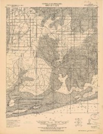
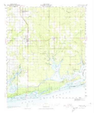
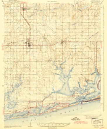
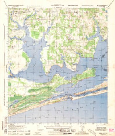
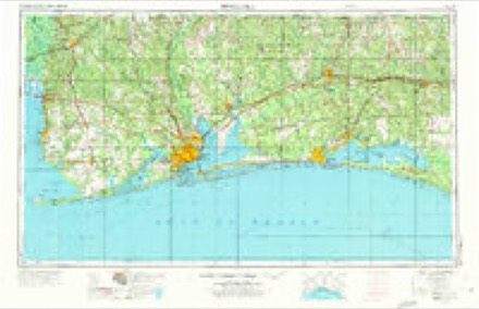
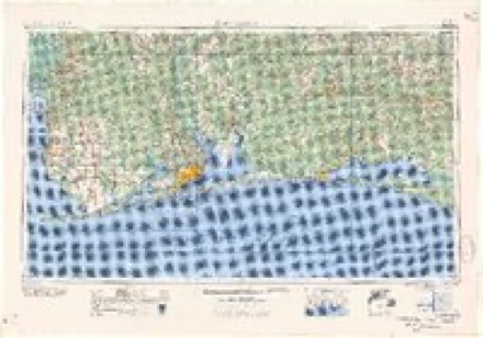
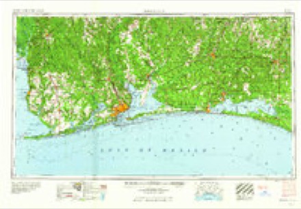
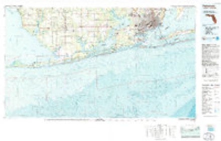
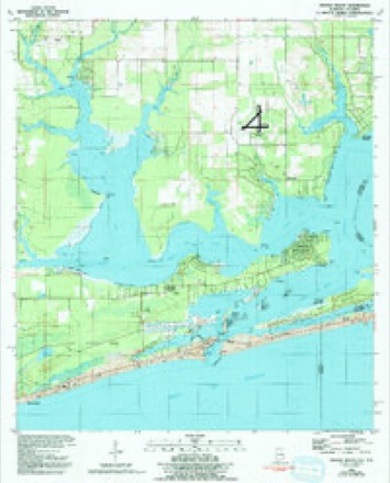
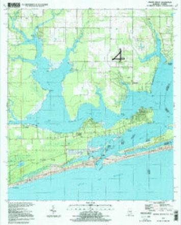
10 surveys from 19 printed sheetsMatched by testing this settlement's coordinate against the published boundary of every sheet in the United States Geological Survey's historical collection. Each opens the scanned sheet at the Survey.
- 1921 USGS Bon Secour quadrangle1:62500, 2 printings
- 1941 USGS Foley quadrangle1:62500, 3 printings
- 1943 USGS Foley quadrangle1:62500, 2 printings
- 1944 USGS Miflin quadrangle1:25000
- 1957 USGS Pensacola quadrangle1:250000, 3 printings
- 1959 USGS Pensacola quadrangle1:250000
- 1960 USGS Pensacola quadrangle1:250000
- 1978 USGS Pensacola quadrangle1:100000, 3 printings
- 1980 USGS Orange Beach quadrangle1:24000, 2 printings
- 1994 USGS Orange Beach quadrangle1:24000
Fires near this place
47 since 1994Regional context, not property-specific evidence. The federal wildfire occurrence database lists 47 fires within 5 miles of Orange Beach between 1994 and 2020, burning about 3,527 acres in total. 6 started naturally. 10 were recorded as arson. Distance is straight-line from the map coordinates, so a fire counted here may appear on a neighbouring settlement's page as well.
| Reported cause | Fires |
|---|---|
| Debris and open burning | 12 |
| Arson/incendiarism | 10 |
| Missing data/not specified/undetermined | 9 |
| Natural | 6 |
| Recreation and ceremony | 5 |
| Equipment and vehicle use | 4 |
| Fireworks | 1 |
The most recent of them, most recent first, with the day each was reported and the service that recorded it.
| Date | Cause | Size | Reported by | Name on the report |
|---|---|---|---|---|
| 7 September 2013 | Missing data/not specified/undetermined | 12 acres | Alabama Forestry Commission | SWR-20130907-002 |
| 30 September 2004 | Equipment and vehicle use | under an acre | Alabama Forestry Commission | not named |
| 18 September 2010 | Debris and open burning | under an acre | Alabama Forestry Commission | not named |
| 26 August 2010 | Debris and open burning | under an acre | Alabama Forestry Commission | not named |
| 24 August 2011 | Natural | 15 acres | Alabama Forestry Commission | FISH TRAP ROAD, AL |
| 4 July 2009 | Fireworks | 2.0 acres | Alabama Forestry Commission | CANAL ROAD, AL |
| 28 July 1998 | Arson/incendiarism | 300 acres | Alabama Forestry Commission | not named |
| 20 July 2007 | Arson/incendiarism | 26 acres | Alabama Forestry Commission | not named |
Settlements close enough to share some of these fires:
Mines and quarries near this place
1 within 5 milesRegional context, not property-specific evidence. The federal mineral resources record lists 1 working within 5 miles of Orange Beach: 1 past producer. None of them still produces. What was taken out: Sand and Gravel, Construction. Distance is straight-line from the map coordinates, so a quarry counted here may appear on a neighbouring settlement's page as well.
| Where | Site | Commodity | Status | Recorded |
|---|---|---|---|---|
| Bagley Pit | Sand and Gravel, Construction | Past Producer |
Storms near this place
32 since 1995Regional context, not property-specific evidence. The National Weather Service names Orange Beach in 32 storm reports between 1995 and 2025: 9 waterspout, 5 thunderstorm wind, 5 hail, 5 flash flood. The reports record 4 deaths and 1 injury. Each account below is quoted exactly as the forecast office filed it, from the NOAA Storm Events Database, and each date opens the federal record of that event.
| When | Event | Place named | Harm | What the report says |
|---|---|---|---|---|
| July 1996 | Rip Current | Orange Beach | 1 killed, 1 hurt | no account filed |
| September 2005 | Rip Current | Orange Beach | 1 killed | A forty-one year old female drowned in rough water while trying to save her son. The boy was rescued but the mother drowned. Red flags were flying warning people of dangerous surf conditions. |
| September 2001 | Rip Current | Orange Beach | 1 killed | A 67-year-old Florida man drowned while swimming in the western beach area of Orange Beach. The man was swimming approximately 50 feet offshore, between the first and second sandbars, when he was apparently pulled under by rough surf and strong rip currents. A person swimming nearby tried to rescue the man, but the currents were too strong for the individual to save the drowning man. Red Flags, which are used to alert swimmers to dangerous swimming and water conditions, were flying along area beaches. The rough surf and dangerous rip currents were the result, in part, to Tropical Storm Gabrielle, which was moving east across the far southeastern Gulf of Mexico. |
| October 1996 | Rip Current | Orange Beach | 1 killed | no account filed |
| September 1998 | Thunderstorm Wind | Orange Beach | $20,000 | High winds damaged the roofs of a couple of homes in Orange Beach. |
| July 1997 | Tornado (F0) | Orange Beach | $20,000 | A tornado developed along the outer bands of hurricane Danny and moved in from the Gulf and destroyed a marina just south of Orange Beach. Several boats in the marina were damaged. The tornado was only on the ground for a short period of time. No one was injured by the tornado. |
| January 2005 | Thunderstorm Wind | Orange Beach | $15,000 | Trees and power lines were blown down by winds from a thunderstorm. One of the trees fell on an automobile and damaged it. |
| October 2017 | Tornado (EF0) | Orange Beach | $5,000 | A brief EF-0 tornado touched down in Orange Beach Waterfront Park and produced some tree damage. |
| July 1995 | Thunderstorm Wind | Orange Beach | $500 | A line of thunderstorms moved offshore south of Orange Beach and the Coast Guard had 25 to 30 boater assistance calls within a matter of minutes. Some of the boats turned over but no one was injured. The Coast Guard estimated wind speeds of 55 to 65 MPH. |
| November 1996 | Thunderstorm Wind | Orange Beach | $500 | no account filed |
| October 2025 | Flash Flood | Orange Beach | - | Water over numerous roads in Orange Beach, especially near Cotton Bayou overlook and Signal 12 along Perdido Beach Blvd. Many yards are flooded. 7.8 inches of rain at the nearby City Hall. |
| October 2025 | Heavy Rain | Orange Beach | - | Daily rainfall amount of 7.8 inches of rainfall measured at the mesonet station (FW3872 Orange Beach) at City Hall in Orange Beach, AL. |
| April 2023 | Thunderstorm Wind | Orange Beach | - | High winds downed trees. |
| June 2023 | Heavy Rain | Orange Beach | - | A total of 3.91 inches of rain was recorded over a 6 hour period at Mesonet Station FW3872. |
| April 2021 | Hail | Orange Beach | - | Two separate reports of softball size hail in Orange Beach. Significant hail damage reported to numerous vehicles and metal roofs in the area. This also set the record as the largest hail stone ever reported in Baldwin County. |
| September 2021 | Flash Flood | Orange Beach | - | Williams Silvers Parkway, the east bound lanes of Canal Road, and Jubilee Point Road were all flooded in the Orange Beach area. |
| July 2021 | Flash Flood | Orange Beach | - | Flash flooding in Orange Beach with knee high water in some locations. Water also approached homes in the area. |
| August 2017 | Flash Flood | Orange Beach | - | Flooding caused several road closures in Orange Beach. |
| November 2009 | Flash Flood | Orange Beach | - | Heavy rains from Tropical Storm Ida caused widespread street flooding in Orange Beach. |
| April 2001 | Waterspout | Orange Beach | - | A waterspout was observed just offshore of Orange Beach. The spout remained offshore for several minutes then dissipated over the water. |
| July 2001 | Waterspout | Orange Beach | - | A waterspout was observed offshore south of Orange Beach. The waterspout remained offshore and dissipated over the Gulf. |
| June 2000 | Waterspout | Orange Beach | - | A couple of waterspouts were seen offshore, south of Orange Beach. The waterspouts dissipated over the water. |
| August 2000 | Waterspout | Orange Beach | - | A waterspout was observed over the Gulf waters just offshore of Orange Beach. The waterspout remained offshore and dissipated. |
| July 1999 | Waterspout | Orange Beach | - | A dissipating waterspout was reported near Ono Island, east of Orange Beach. |
| January 1997 | Hail | Orange Beach | - | Dime size hail was reported around Orange Beach. |
| April 1997 | Waterspout | Orange Beach | - | A waterspout dissipated as it moved ashore at Orange Beach. No damage was found. |
| April 2021 | Hail | Orange Beach | - | no account filed |
| April 2021 | Hail | Orange Beach | - | no account filed |
| January 1997 | Hail | Orange Beach | - | no account filed |
| June 1996 | Waterspout | Orange Beach | - | no account filed |
| September 1996 | Waterspout | Orange Beach | - | no account filed |
| September 1996 | Waterspout | Orange Beach | - | no account filed |
Nearest settlements
The eight closest, with where each one stands in the county. Distances are straight-line, computed from the Geographic Names Information System coordinates.
| Map | Place | Distance | Sheets |
|---|---|---|---|
| Caswell | 1.8 miles | 19 | |
| Josephine | 3.2 miles | 19 | |
| Romar Beach | 3.5 miles | 19 | |
| Perdido Beach | 4.8 miles | 19 | |
| Miflin | 5.6 miles | 19 | |
| Swift | 6.3 miles | 17 | |
| Oak | 7.2 miles | 17 | |
| Foley Recreational Vehicle Park | 7.4 miles | 17 |
Elsewhere
Matched on this settlement's Geographic Names Information System number rather than its name, so it cannot be a different place of the same name in another state.
| Wikipedia article on Orange Beach | An encyclopaedic summary. Its text is share-alike, so it is linked here rather than copied. |
| Wikidata item Q79603 | The structured record the population and elevation above come from. Public domain (CC0). |
Provenance
This settlement is recorded in the Geographic Names Information System as feature 124297. The sheet list is computed by point-in-boundary test against the United States Geological Survey's historical topographic inventory. Both are works of the United States government and carry no copyright under 17 U.S.C. 105.
Wildfire. Short, Karen C. 2022. Spatial wildfire occurrence data for the United States, 1992-2020 [FPA_FOD_20221014]. 6th Edition. Fort Collins, CO: Forest Service Research Data Archive. https://doi.org/10.2737/RDS-2013-0009.6 Collected with United States Government funding and usable without additional permissions or fees.
Mines and quarries. USGS Mineral Resources Data System (MRDS) https://mrdata.usgs.gov/mrds/ A work of the United States government, no copyright under 17 U.S.C. 105.
Storms. NOAA National Centers for Environmental Information, Storm Events Database https://www.ncei.noaa.gov/stormevents/ A work of the United States government, no copyright under 17 U.S.C. 105. Narratives are quoted verbatim from the National Weather Service report and are not edited or summarised.