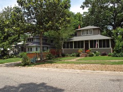
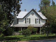
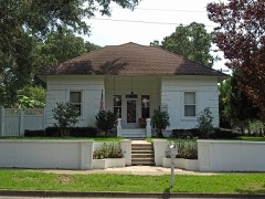
Block
From the record
61 National Register listings published here, 1 of them a National Historic Landmark.
Sources: the National Register database, National Park Service
195 topographic sheets and 8 fire insurance atlases across 4 places.
61 National Register listings published here, 1 of them a National Historic Landmark.
Sources: the National Register database, National Park Service
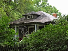
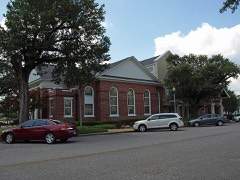
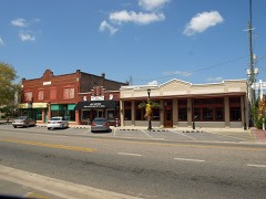
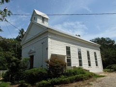
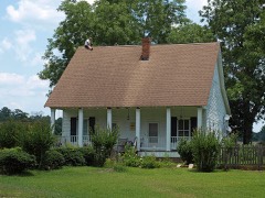
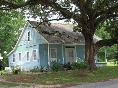
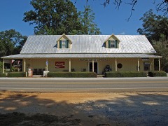
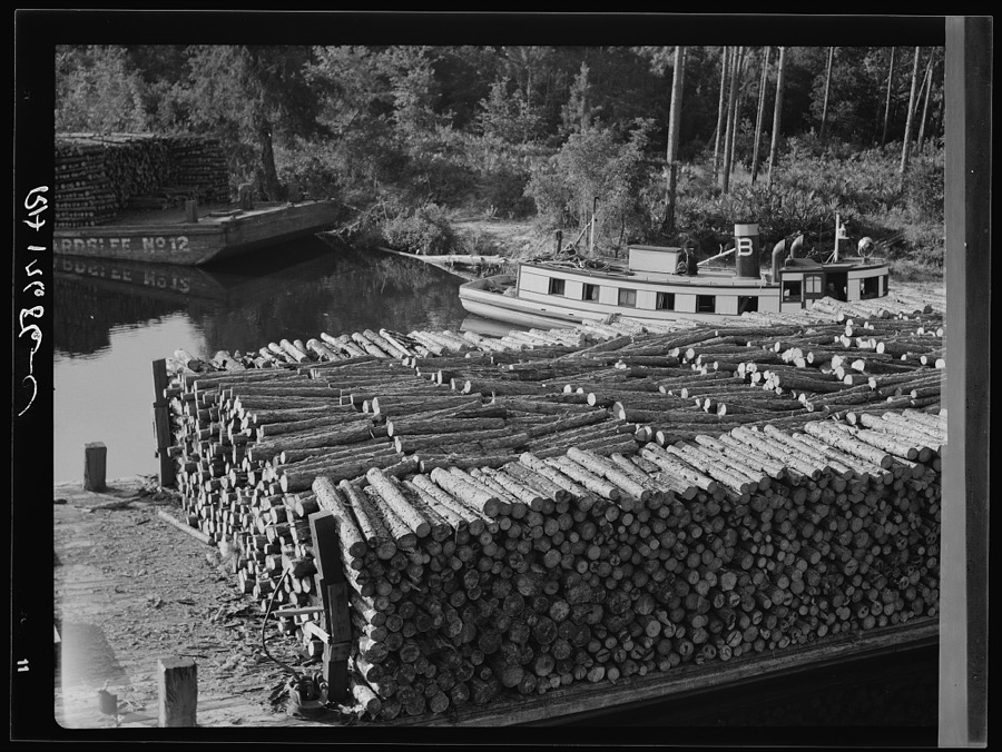
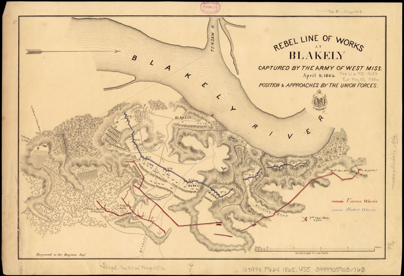
Taken for the Office of War Information and the Farm Security Administration, who photographed the country between 1935 and 1944. Works of United States government photographers, with no known restriction on use. Each opens its catalogue record.
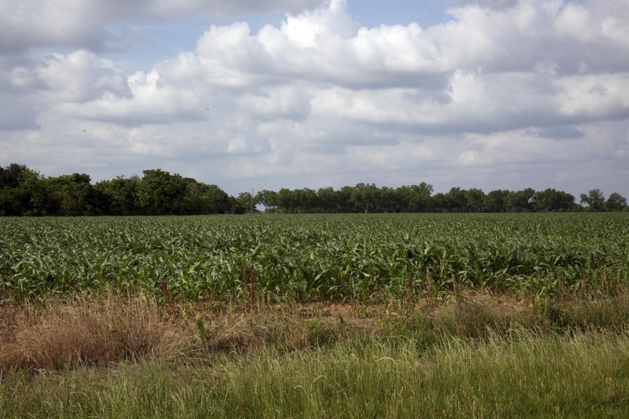
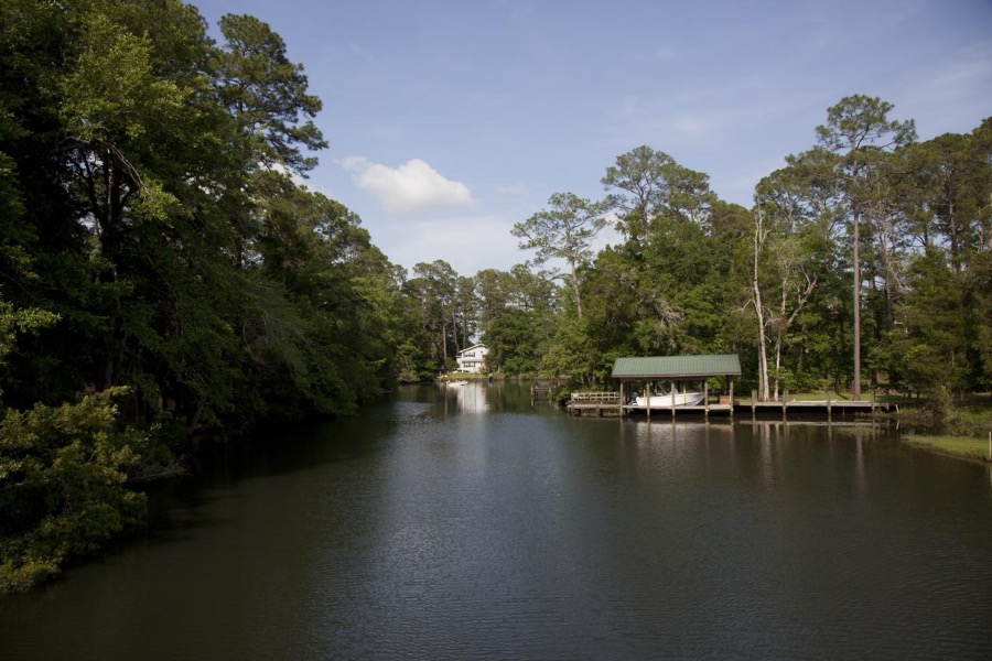
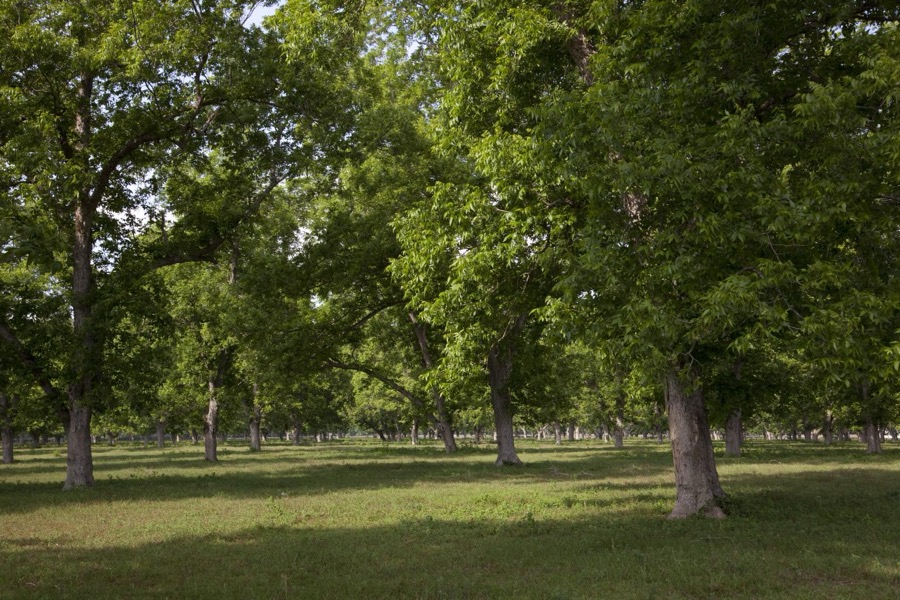
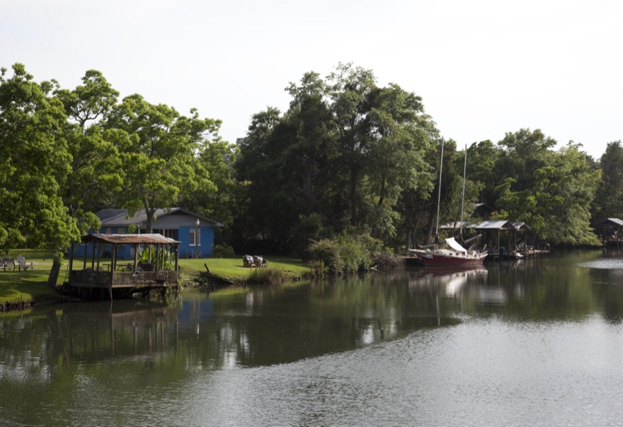
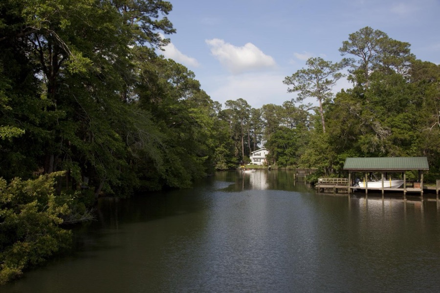
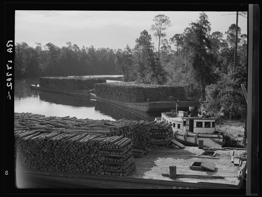
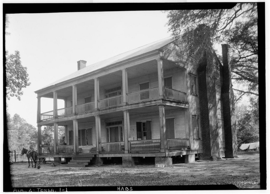
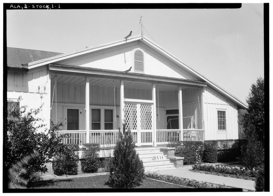
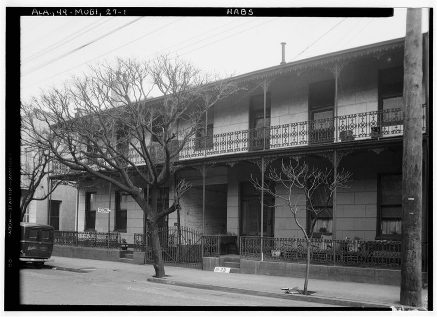
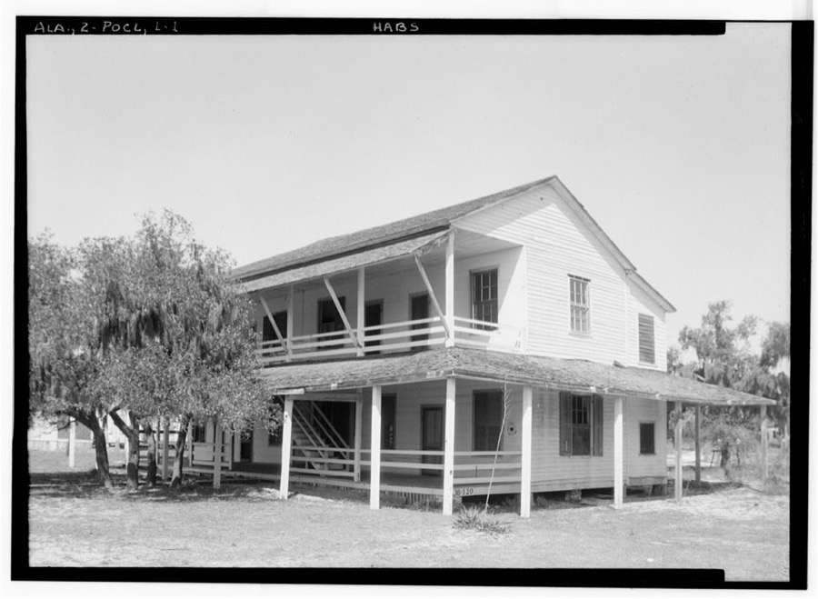
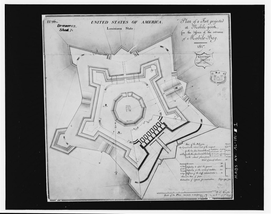
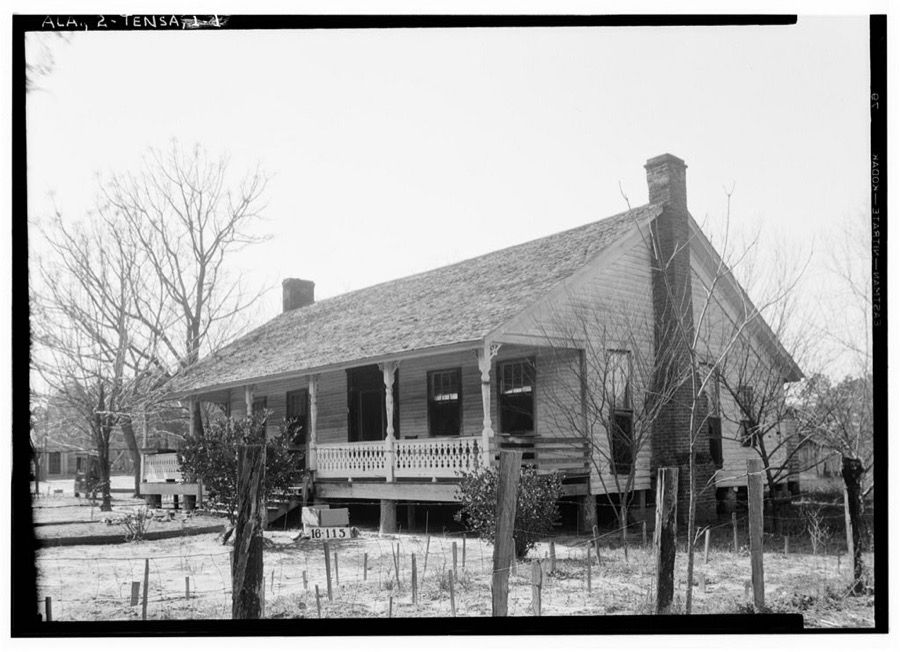
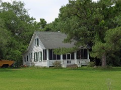
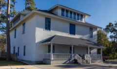
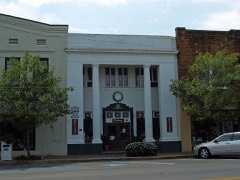
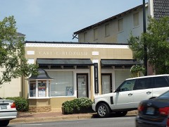
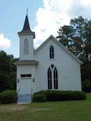
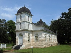
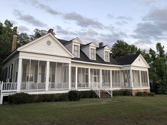
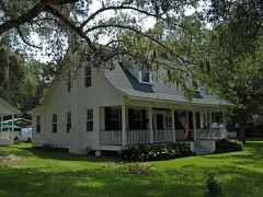
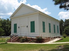
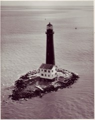
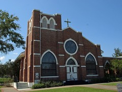
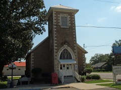
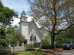
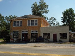
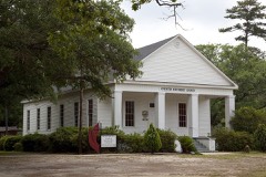
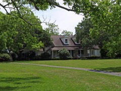
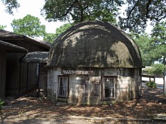
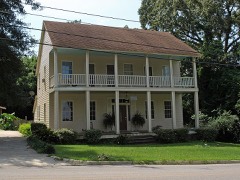
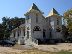
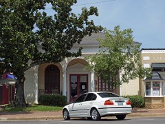
Every property in this county listed on the National Register of Historic Places, with the year it was listed and the federal nomination document.
Selected from the Digital Public Library of America's 3 image records catalogued for this county. Every one shown here carries a public-domain status or a licence that permits reuse on a site that carries advertising; non-commercial, share-alike and restricted images are excluded. The selection is spread across the county's towns (at most eight per town), so no single institution's bulk upload crowds out the rest. Each opens the holding library's record, and the complete set at the Digital Public Library of America is one click away.
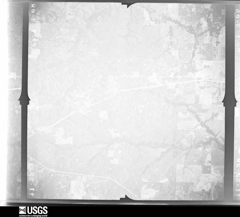
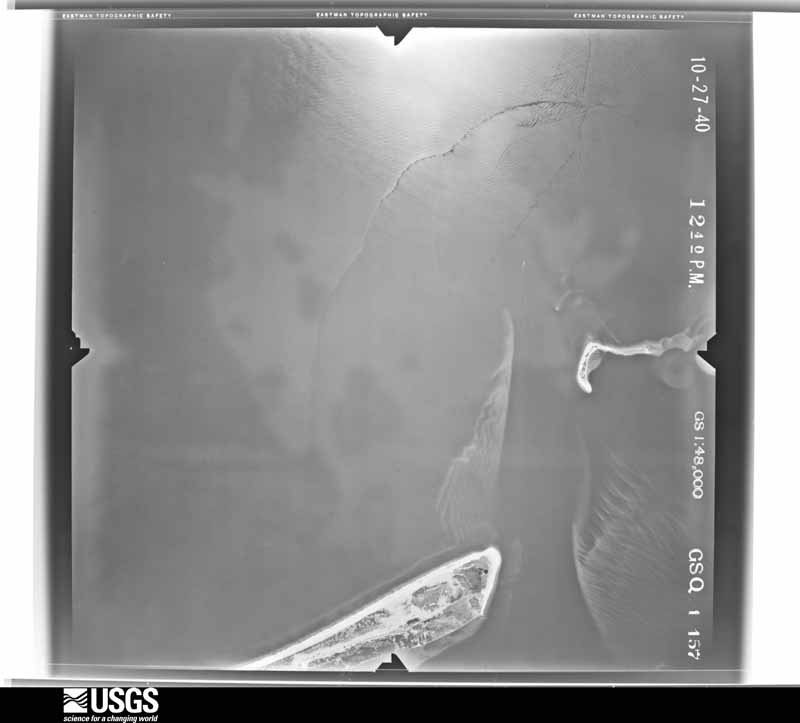
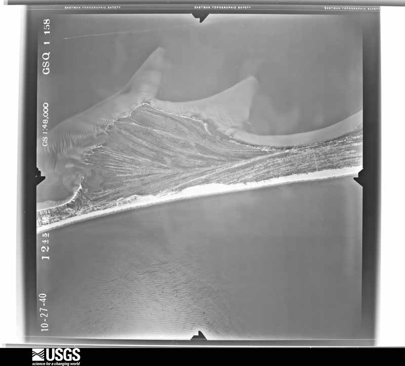
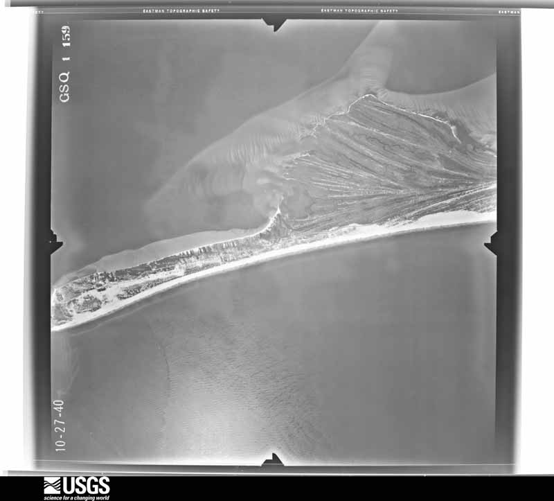
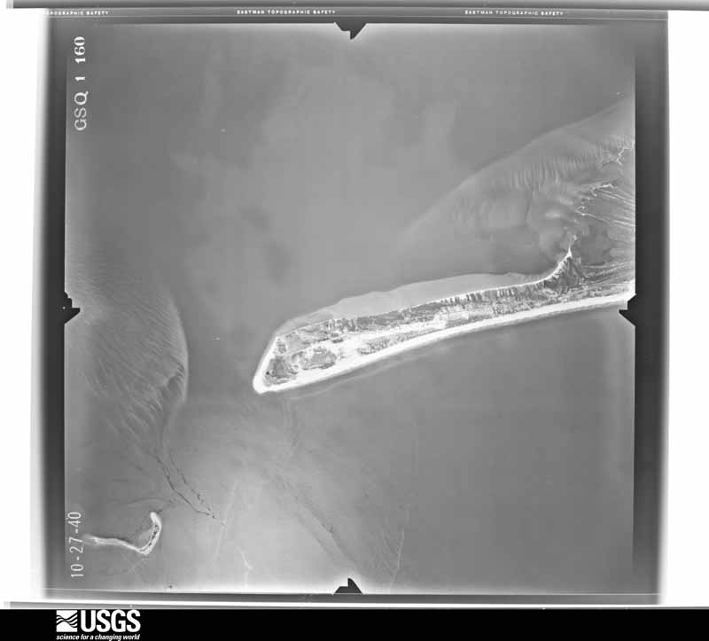
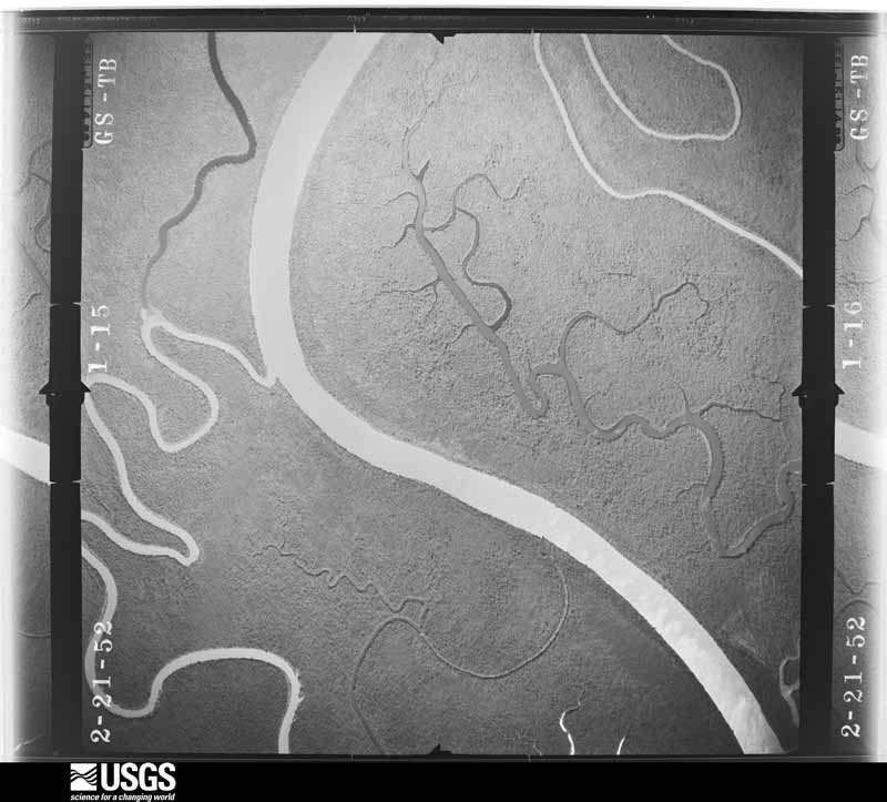
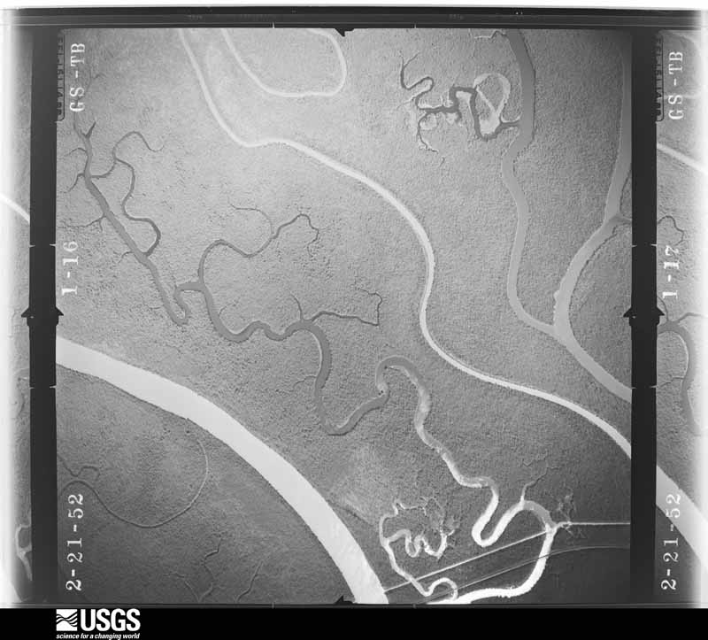
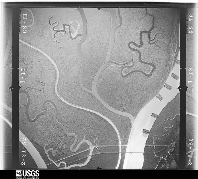
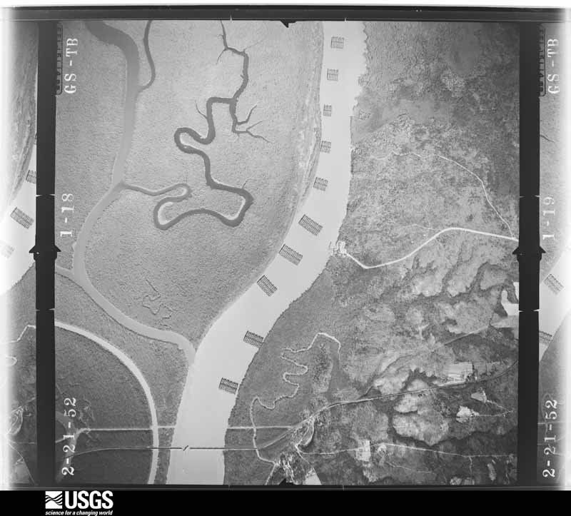
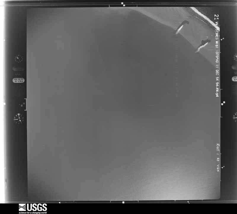
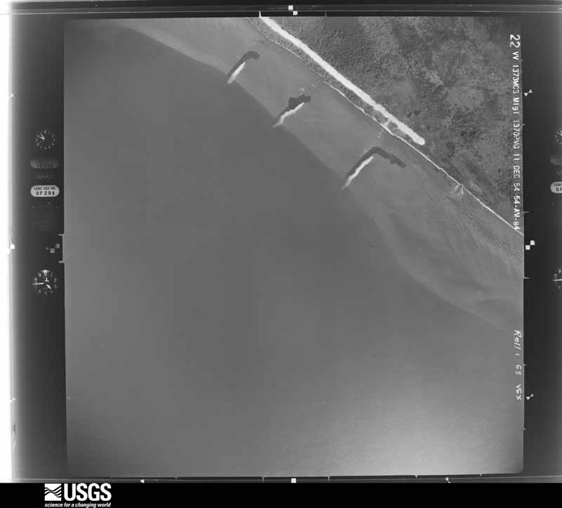
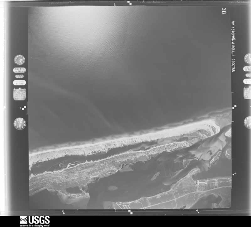
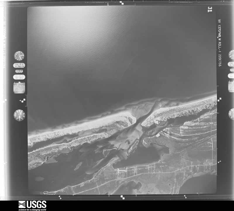
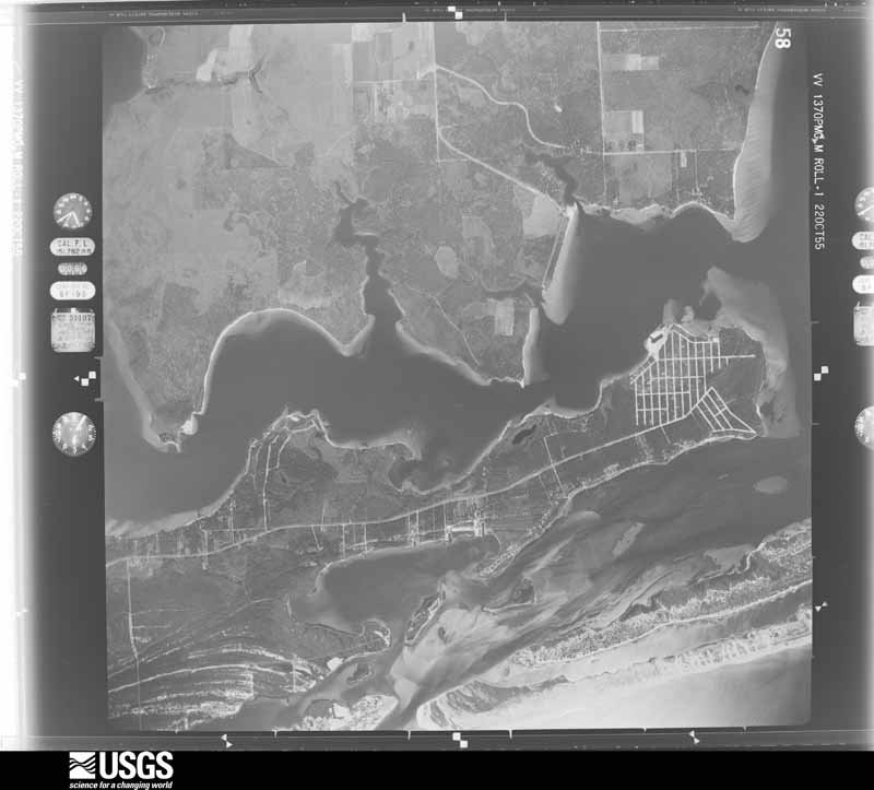
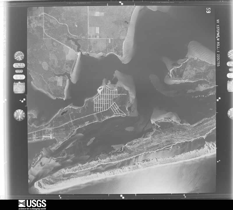
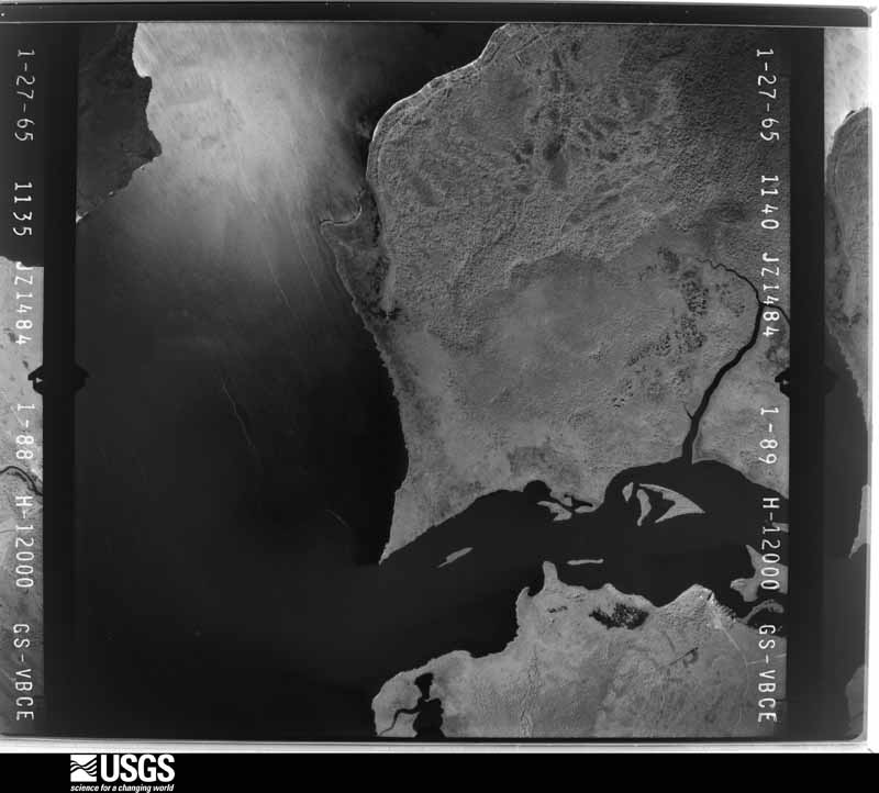
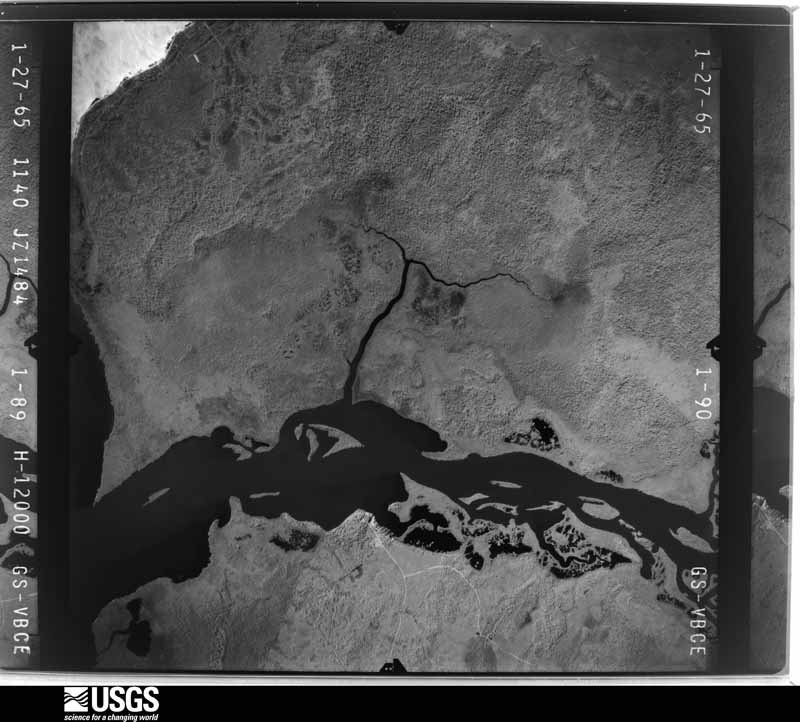
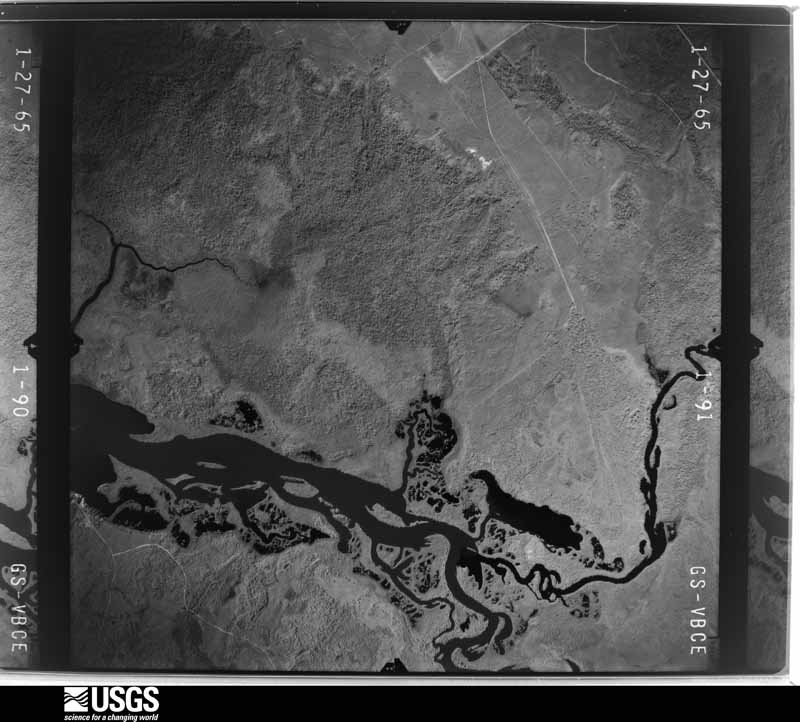
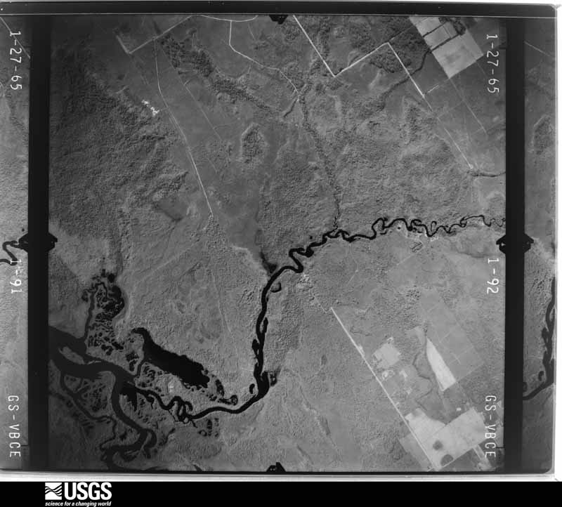
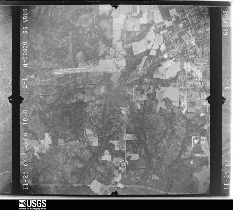
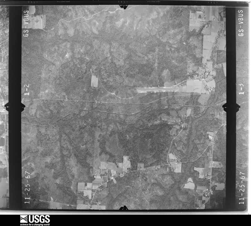
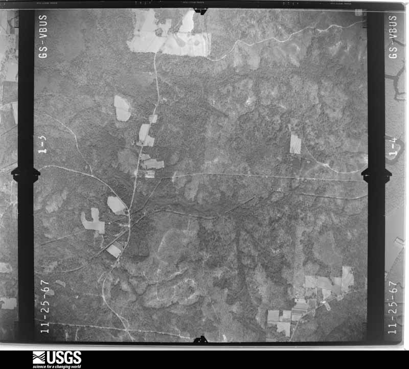
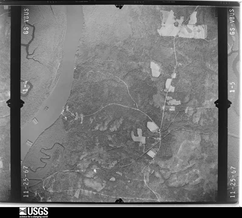
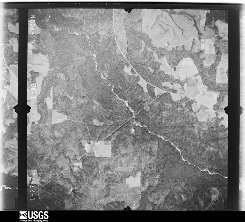
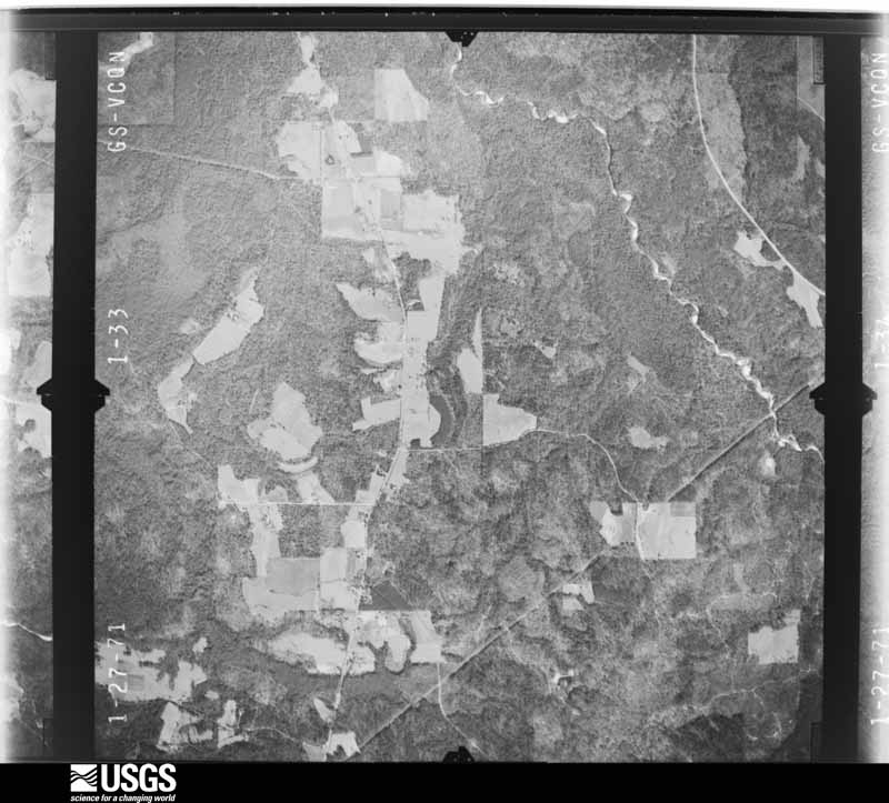
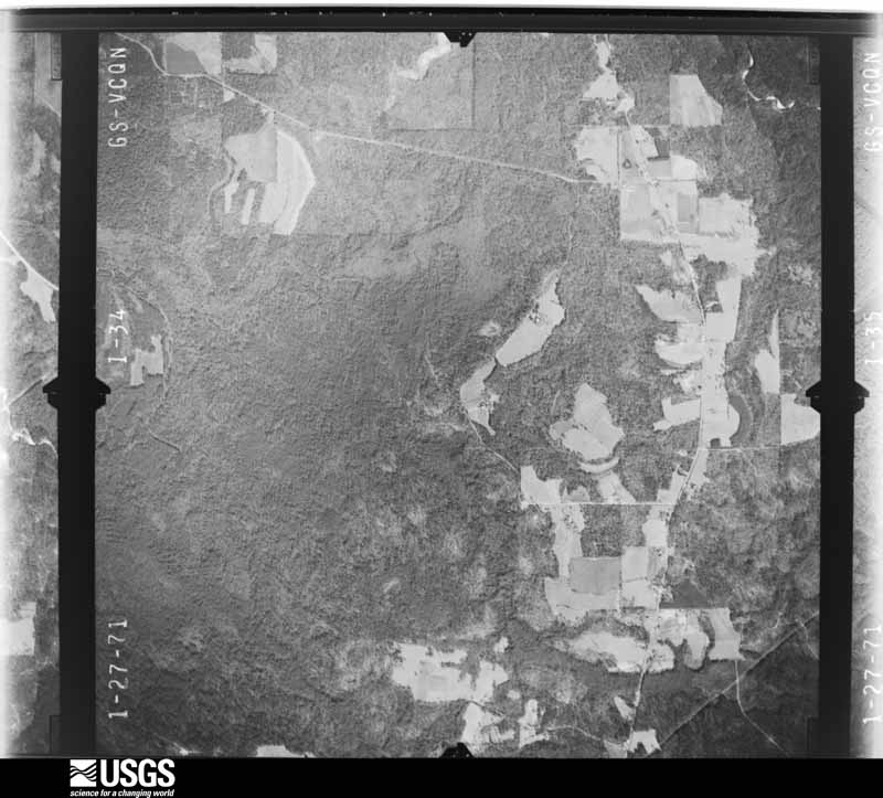
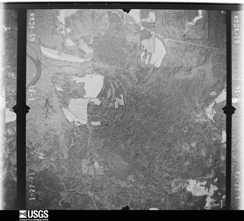
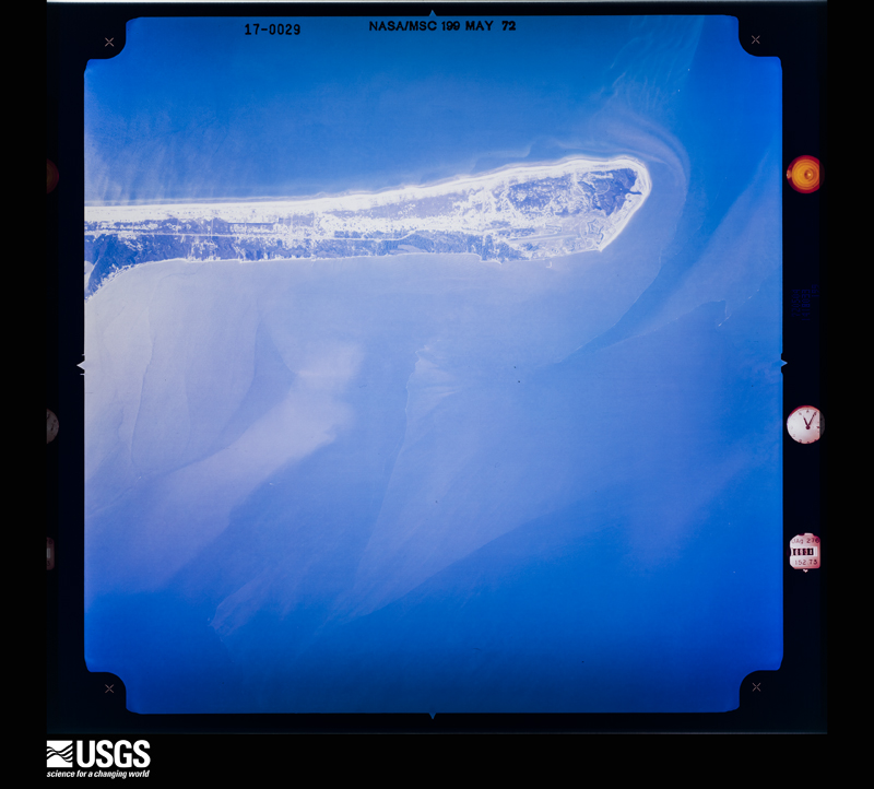
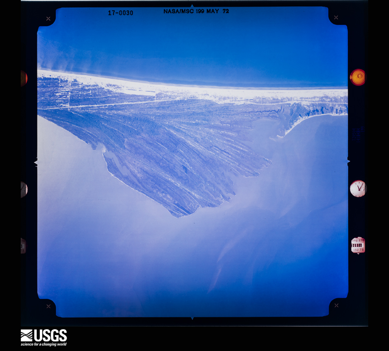
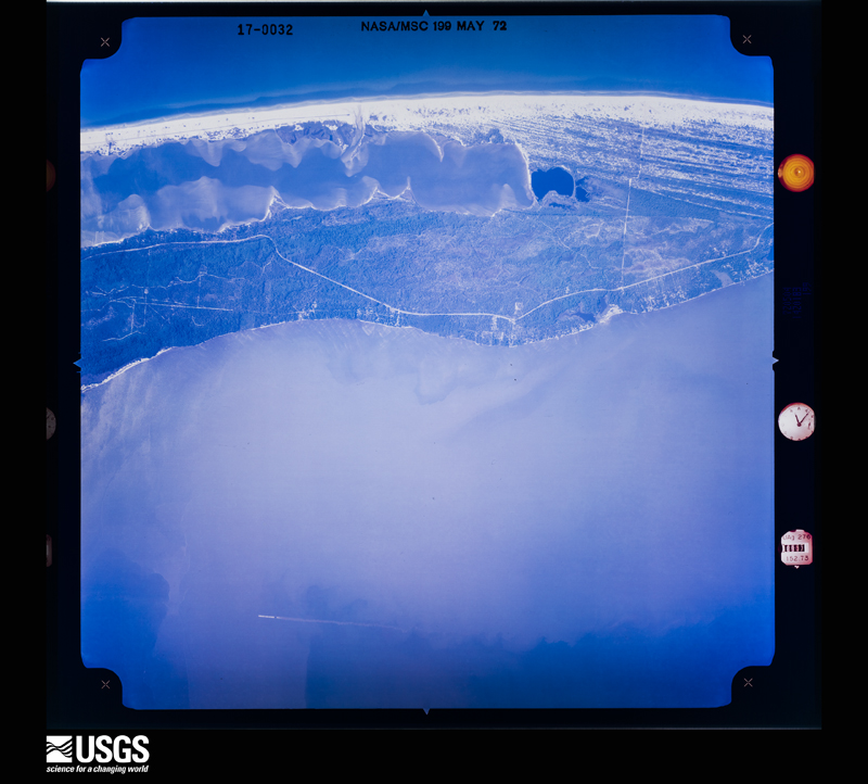
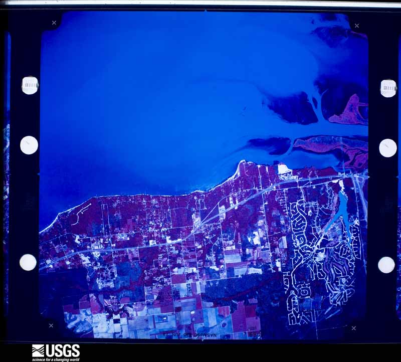
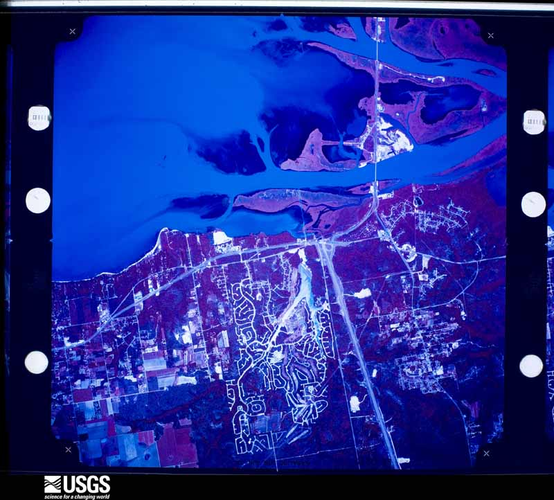
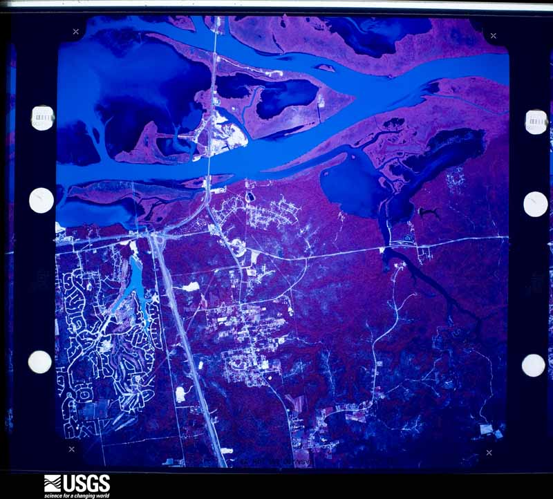
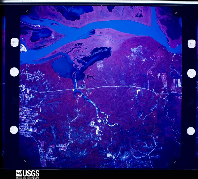
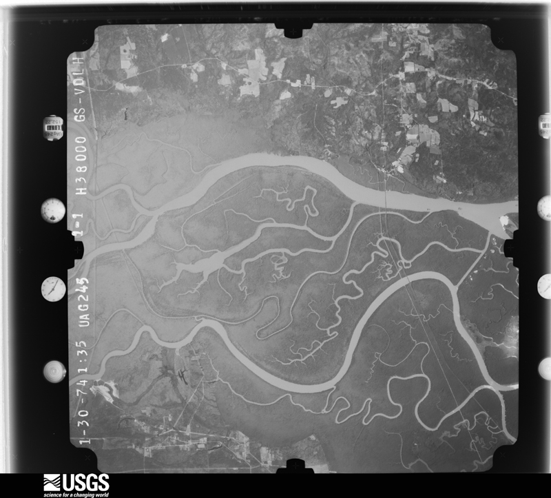
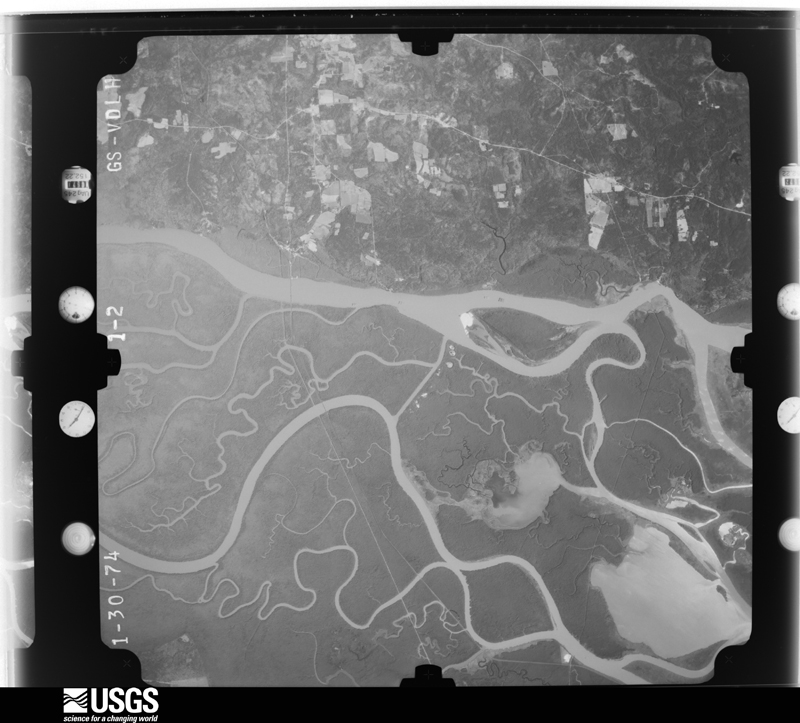
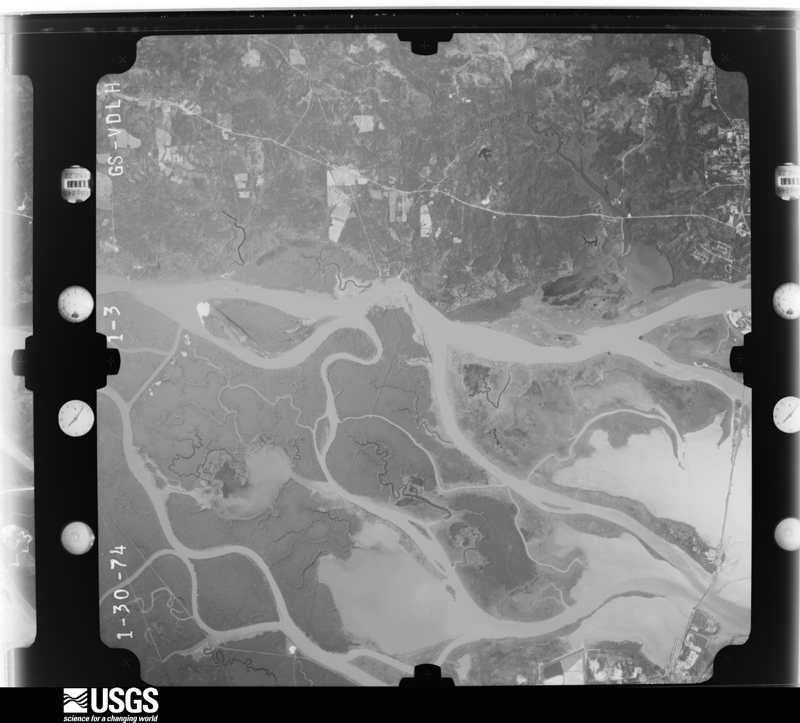
Flown by the U.S. Geological Survey between 1937 and 1989, the Aerial Photo Single Frames collection is the definitive mid-century view of the land: fields, roads and rivers as the camera saw them. The Survey holds 4,013 frames inside the rectangle that bounds this county; the 48 frames below were taken over the county itself, chosen across the decades of flights (at most four a year from that rectangle), so one flight cannot crowd out the rest. The full set is free to browse and download at EarthExplorer under the dataset Aerial Photo Single Frames.



The thermometers that kept this county's weather, and the gages that measured the flow of its streams, as the federal records hold them. The extremes below are measured values from those records, not estimates.
Who lived here in 1950, one enumeration district at a time, as the Census Bureau described each district. Each row opens its official National Archives result, with Population Schedules and ED Maps available there.
Every wildfire the federal occurrence database records inside this county: 4,132 of them, burning about 83,918 acres. 88 started naturally and 1,724 were recorded as arson. Each settlement page carries the fires within five miles of it.
| Reported cause | Fires |
|---|---|
| Arson/incendiarism | 1724 |
| Debris and open burning | 1352 |
| Missing data/not specified/undetermined | 529 |
| Equipment and vehicle use | 187 |
| Recreation and ceremony | 130 |
| Natural | 88 |
| Misuse of fire by a minor | 42 |
| Railroad operations and maintenance | 42 |
| Smoking | 17 |
| Power generation/transmission/distribution | 12 |
| Fireworks | 7 |
| Other causes | 2 |
The five largest, by the area the report gives. One of them was set deliberately.
| Date | Cause | Size | Reported by | Name on the report |
|---|---|---|---|---|
| 3 March 2006 | Equipment and vehicle use | 1,846 acres | Alabama Forestry Commission | LILLIAN SWAMP |
| 5 June 2011 | Natural | 1,600 acres | Alabama Forestry Commission | SEMINOLE FIRE |
| 30 May 2012 | Natural | 1,555 acres | Alabama Forestry Commission | SWR-20120530-001 |
| 21 March 1996 | Debris and open burning | 1,200 acres | Alabama Forestry Commission | not named |
| 29 May 2003 | Missing data/not specified/undetermined | 1,160 acres | Alabama Forestry Commission | not named |
| 4 July 2019 | Natural | 1,100 acres | Alabama Forestry Commission | 20190704-6 |
| 17 March 2006 | Arson/incendiarism | 910 acres | Alabama Forestry Commission | SUSTAINABLE 2 |
| 25 June 2011 | Recreation and ceremony | 898 acres | Alabama Forestry Commission | GULF STATE PARK , AL |
Every settlement page carries the fires within five miles of it - see the settlement index below.
The NOAA Storm Events Database holds 897 reports for this county, causing 20 deaths, 121 injuries and about $44,834,060 in recorded property damage. Each settlement page carries the reports that name it.
| Kind of event | Reports |
|---|---|
| Thunderstorm Wind | 358 |
| Hail | 178 |
| Flash Flood | 125 |
| Tornado | 116 |
| Lightning | 43 |
| Waterspout | 26 |
| Heavy Rain | 19 |
| Funnel Cloud | 12 |
| Rip Current | 11 |
| Flood | 8 |
| Coastal Flood | 1 |
The most serious of them, by death, then injury, then recorded damage. The accounts are quoted exactly as the forecast office filed them.
| When | Event | Place named | Harm | What the report says |
|---|---|---|---|---|
| July 2005 | Lightning | Gulf Shrs | 2 killed | A man and his stepson were trying to retrieve their beach belongings during a thunderstorm along the Gulf Shores beach. They were both struck and killed by a lightning bolt. They were on a weekend outing at the beach. The man's wife was watching them from a condo and observed the strike. Another of the mans stepsons was walking several yards in front of them and didn't even know the pair had been struck. |
| August 2017 | Lightning | Gulf Shrs | 1 killed, 5 hurt | A group of 6 were struck by lightning on the beach. There were 5 injuries and 1 death. |
| April 2014 | Flash Flood | Spanish Ft | 1 killed, 1 hurt, $27,000,000 | The southern half of Baldwin county experienced historic flooding the night of April 29th into the early morning of April 30th. Rain totals of 12 to 24 inches were reported, with the maximum rainfall occurring in a swath from Foley south to Gulf Shores and Orange Beach, east to the Florida state line. The highest reported was 23.67 inches in Orange Beach via a CoCoRAHS observer. The Fish River at Silverhill crested at record high level of 23.18 feet. The Styx River at Elsanor experienced its second highest crest on record at 20.90 feet. ||1400 homes and businesses experienced flooding and private property losses are estimated at $17 million with another $10 million estimated for infrastructure damage. Almost every road south of Highway 104 experienced flooding. Numerous roads were flooded between Highway 104 and just north of Interstate 10. The flooding resulted in extensive damage to numerous roads and bridges throughout the county. Emergency management officials reported having to rescue dozens of people from homes and vehicles due the rapid rise of the water. A significant portion of the bluff in Spanish Fort, along Patrician Drive, was washed away. ||A 67 year old man was killed in Foley when his car was swept off Airport Drive by fast rising water from the adjacent Magnolia River. |
| September 1999 | Rip Current | Gulf Shrs | 1 killed, 1 hurt | Two persons from out of state were swimming in rough water near Gulf Shores. They both struggled in the surf and bystanders were able to get to one of the swimmers out of the rough water but could not get the other one. He was not found until the next day. Red Flag Warnings were flying along the beaches due to rough surf. |
| July 1996 | Rip Current | Orange Beach | 1 killed, 1 hurt | no account filed |
| August 2019 | Lightning | Oak | 1 killed | A 28 year old male was struck by lightning while working on a construction site in craft farms. he was rushed to the hospital where he later died as a result of his injuries. |
| July 2015 | Lightning | Ft Morgan | 1 killed | Lightning struck a 12 year old girl playing volleyball on Fort Morgan. There were 7 other near her that were affected by the closeness of the strike. However, only the girl was transported to the hospital. She passed away two days later from her injuries. |
| May 2014 | Flood | Lillian | 1 killed | A 91 year old man died after he went around a barricade and fell in a sinkhole. |
| August 2010 | Lightning | Hurricane | 1 killed | A Semmes, Alabama man was killed by a lightning strike as he and his wife were heading in from a day of boating on the Tensaw River just west of Bay Minette, Alabama. |
| July 2006 | Lightning | Elberta | 1 killed | An eleven year old boy was struck and killed by lightning while watering his animals near Elberta. Witnesses said there was only one cloud in the sky and the sun was shining when the boy was hit. He was likely hit by the first strike from the storm. He had a water hose in his hand when he was struck. |
| September 2005 | Rip Current | Gulf Shrs | 1 killed | A male in his early twenties drowned in rough surf near Gulf Shores. Red Flags were flying warning people to stay out of the water. The man was swimming with three other males. They may have been in the country illegally as the other males left. The identity of the drowning victim is still unknown and his age is estimated. |
| September 2005 | Rip Current | Orange Beach | 1 killed | A forty-one year old female drowned in rough water while trying to save her son. The boy was rescued but the mother drowned. Red flags were flying warning people of dangerous surf conditions. |
| August 2003 | Rip Current | Gulf Shrs | 1 killed | A twenty-five year old male from the north part of Alabama drowned in rough surf near Gulf Shores. He was swimming in an unguarded private area of the beach when he disappeared in the rough water.. |
| September 2002 | Rip Current | Ft Morgan | 1 killed | A twenty-six year old female was swimming with her daughter in rough water near Gulf Shores Plantation. They were visiting the area from out of state. The pair got caught in a strong rip current and were swept 600 yards west of where they went into the water. The daughter was rescued but the mother drowned in the rough water. |
| June 2002 | Rip Current | Ft Morgan | 1 killed | A male vacationing with his family drowned in rough surf near Fort Morgan. The man was swimming in the rough water and disappeared. Paramedics were able to get him ashore but the man died. |
| September 2001 | Rip Current | Orange Beach | 1 killed | A 67-year-old Florida man drowned while swimming in the western beach area of Orange Beach. The man was swimming approximately 50 feet offshore, between the first and second sandbars, when he was apparently pulled under by rough surf and strong rip currents. A person swimming nearby tried to rescue the man, but the currents were too strong for the individual to save the drowning man. Red Flags, which are used to alert swimmers to dangerous swimming and water conditions, were flying along area beaches. The rough surf and dangerous rip currents were the result, in part, to Tropical Storm Gabrielle, which was moving east across the far southeastern Gulf of Mexico. |
| July 1999 | Rip Current | Gulf Shrs | 1 killed | A thirty-three year old male drowned in heavy surf while swimming with friends on West Beach in Gulf Shores. The body was found the next day. Red flags, which warn of dangerous surf conditions, were flying at the time of the drowning. |
| April 1998 | Rip Current | Gulf Shrs | 1 killed | A 51 year old male on vacation to the gulf coast from Michigan, drowned after his wave board drifted out of his reach in rough surf. There was a strong eastward flowing current where the male drowned. Rescuers tried to reach him but were unable to do so before he drowned. |
| October 1996 | Rip Current | Orange Beach | 1 killed | no account filed |
| February 1981 | Tornado (F2) | not stated | 62 hurt, $2,500,000 | no account filed |
| June 1989 | Tornado (F1) | not stated | 10 hurt, $2,500,000 | no account filed |
| February 2011 | Thunderstorm Wind | Foley | 5 hurt, $10,000 | Winds estimated at 60 mph downed trees and power lines in Foley. |
| February 2011 | Thunderstorm Wind | Seminole | 5 hurt | Winds estimated at 60 mph damaged a large metal awning attached to the front of a home. |
| November 2004 | Tornado (F2) | Summerdale | 4 hurt, $400,000 | An F2 touched down just west of Summerdale along County Road 32. The tornado then tracked east northeast and moved through downtown Summerdale. The tornado continued moving east and went back into the clouds east of Summerdale. Most of the damage from the tornado occurred in downtown Summerdale. Bleachers from a new ball field were found about a quarter mile away next to a house. A school bus was pushed sideways 15 to 20 feet by the winds. Five homes were destroyed with 35 to 40 homes suffering damage. Four minor injuries were reported. People heard the warning and took cover before the tornado hit. This same area was hit hard by Hurricane Ivan in September. |
| November 1968 | Tornado (F3) | not stated | 4 hurt, $250,000 | no account filed |
| April 2018 | Tornado (EF0) | Oak | 3 hurt, $100,000 | The tornado first touched down at Anchors Aweigh RV Resort where it overturned 5 RVs. 3 people in the RVs were injured. The tornado continued northeast to just east of the intersection of Highway 59 and CR 20. Minor damage to a convenience store canopy and to the Lowe's were observed. The tornado lifted near the intersection of Pride drive and Juniper Street. Spotty minor tree damage was noted along the path. |
| December 1964 | Tornado (F2) | not stated | 3 hurt, $25,000 | no account filed |
| April 2023 | Thunderstorm Wind | Romar Beach | 2 hurt | Strong winds rolled one camper into another at Gulf State Park Campground. |
| August 2010 | Lightning | Gulf Shrs | 2 hurt | Lightning struck 4 people on the beach in Gulf Shores. Two were hospitalized with minor injuries. |
| January 2017 | Thunderstorm Wind | Gulf Shrs | 1 hurt, $950,000 | A severe thunderstorm moved across Gulf Shores and|produced a corridor of significant wind damage from near the|intersection of Highway 59 and Highway 182 north and east to just |east of Highway 59 and south of Fort Morgan road (Highway 180). |All damage surveyed was blown from a southwest to northeast direction,|indicative of straight line wind damage. The corridor of greatest damage |occurred around 300 to 350 yards on either side of Highway 59. Numerous|trees were uprooted and had significant large branches broken off. A few |homes were damaged by the fallen trees along West 12th and 13th Avenues |and a few homes suffered shingle damage. The Alabama Gulf Coast Zoo |experienced significant tree damage and damage to fencing and animal |enclosures. Fortunately, all of the animals survived. Roofing material|was blown off of a few commercial buildings near the zoo and also south |close to Highway 182. Outside of this main corridor of damage, sporadic|straight line wind damage was observed and reported across Gulf Shores,|Bon Secour, and Orange Beach. There was one minor injury when a sunroom |collapsed onto an elderly woman. She was quickly rescued and suffered|minor cuts and bruises. |
| March 1999 | Thunderstorm Wind | Elsanor | 1 hurt, $70,000 | High winds destroyed an older mobile home along County Road 87. Five people were in the home. One person suffered minor injuries when the home was ripped apart. The roof and three sides of the trailer were ripped off . Other minor damage with trees down and sheds blown over covered a broad area along County Road 87. A few trees were also blown over and mobile homes damaged in Seminole as the storm moved east. No one was injured in Seminole but two mobile homes had major damage. Wind speeds were estimated to be around 80 mph. |
| August 2015 | Thunderstorm Wind | Spanish Ft | 1 hurt, $30,000 | Severe thunderstorm wind gusts estimated at 60 mph resulted in downed trees and power lines in the Spanish Fort Estates neighborhood, mainly near the intersection of Yankee Trove Street and Artillery Range Street. The fallen trees and limbs resulted in roof damage to a couple of homes. One large tree fell on a vehicle, completely destroying it. One man was injured when a large tree fell onto a shed he was in. |
| November 1992 | Tornado (F1) | not stated | 1 hurt, $25,000 | no account filed |
| October 1967 | Tornado (F2) | not stated | 1 hurt, $25,000 | no account filed |
| May 2006 | Lightning | Daphne | 1 hurt, $15,000 | A 65 year old female was praying for her families safe return from a Memorial Day trip to the beach when lightning struck nearby. She was standing next to her refrigerator when a ball of lightning exploded out of her kitchen floor. She was knocked to the floor and was found by her family a few minutes later. The lightning appeared to have struck across the street from her home and ran into the house through a water line. The lightning continued into her backyard and ripped open a small trench. Pieces of concrete were scattered throughout the kitchen. She said her dog had tried to block her way into the kitchen only minutes before the strike occurred. She refused to go to a hospital. |
| January 1997 | Thunderstorm Wind | Malbis | 1 hurt, $15,000 | no account filed |
| March 1996 | Thunderstorm Wind | Bay Minette | 1 hurt, $1,500 | no account filed |
| June 2012 | Lightning | Gulf Shrs | 1 hurt | A 10 year old boy was struck by lightning at the Gulf State Park Pavilion on East Beach Boulevard. He was transported to a local hospital in critical condition. A few days later hospital officials reported the boy's condition had stabilized and he had survived the lightning strike. |
| August 2007 | Lightning | Marlow | 1 hurt | A Baldwin county worker was struck by lightning as he tried to escape a storm while working near a dirt pit. He was going to his truck to get out of the storm when he was hit. He was taken to a local hospital, treated and released. |
| July 2006 | Lightning | Gulf Shrs | 1 hurt | A sixteen year old visitor from north Alabama was struck by lightning while walking along the beach in Gulf Shores. He and his mother were walking in ankle-deep water when a bolt of lightning struck nearby and knocked both over. The mother was okay but the son had to be transported to the hospital. The boy remained in the hospital for several days and was released after about a week. The strike occurred near where two people were struck and killed last July. |
| August 2011 | Lightning | Elberta | 1 hurt | no account filed |
| July 1987 | Thunderstorm Wind | not stated | 1 hurt | no account filed |
| March 1998 | Flash Flood | Countywide | $1,000,000 | no account filed |
| January 2017 | Flash Flood | Belforest | $600,000 | Significant flash flooding occurred, especially in the Foley area, due to 5 to 7 inches of rain falling the span of only a couple of hours. A water rescue had to be performed on Fernwood Circle due to the rapid rise of Sandy Creek. Numerous roads in the central and southern half of the county were flooded and closed, with several sustaining damage due to the flooding. |
| May 2003 | Flash Flood | Central Portion | $500,000 | Excessive rainfall occurred over a 12 hour period, with radar estimating rainfall totals of 11 to 15 inches.. This produced flooding from Bay Minette to Spanish Fort to Daphne. Bay Minette had eleven homes flooded, and several homes were also flooded in the Daphne area. Several roads were closed, and a few bridges were washed out. The bridge washouts forced residents to take long detours for several weeks, until the bridges were rebuilt. |
| June 1994 | Thunderstorm Wind | Foley | $500,000 | Trees were blown down and some minor building damage occurred at the Riveria Factory Outlet Center. |
| May 2022 | Flash Flood | Fairhope | $250,000 | Partial road collapse on North Bancroft Street between Oak Street and Bayou Drive. |
| September 2021 | Flash Flood | Perdido Beach | $250,000 | Over 6 inches of rain is just a couple of hours time resulted in significant flash flooding in parts of the Lillian and Seminole areas. In Lillian, fast moving water over Highway 98 washed cars off the road. A water rescue had to be performed at the Lillian Post Office due to a person being trapped in their vehicle. County Road 99 at Pearson Branch Bridge was closed due to flooding. In Seminole, a portion of Liatrus Lane near Juniper Road caved in with a six to 10 foot sink hole. |
| July 2007 | Lightning | Fairhope | $250,000 | Lightning struck a home causing a fire. The home was a complete loss. |
| October 2001 | Tornado (F3) | Foley | $250,000 | An F3 tornado initially touched down just south of the Grove Home Park on County Road 16. The tornado then tracked north just east of County Road 65 to County Road 12, just southwest of Foley. The tornado blew down numerous trees, destroyed a manufactured home and damaged several others in the Grove Home Park. The tornado destroyed two large cement block buildings and damaged another three near County Road 12. A large panel truck filled with heavy tools was picked up and carried about 60 feet, and several other cars were thrown 15 to 25 feet. No injuries were reported. |
| April 1991 | Tornado (F0) | not stated | $250,000 | no account filed |
| February 1975 | Tornado (F2) | not stated | $250,000 | no account filed |
| September 1971 | Tornado (F1) | not stated | $250,000 | no account filed |
| September 1971 | Tornado (F2) | not stated | $250,000 | no account filed |
| November 1968 | Tornado (F3) | not stated | $250,000 | no account filed |
| December 1967 | Tornado (F2) | not stated | $250,000 | no account filed |
| March 1962 | Tornado (F2) | not stated | $250,000 | no account filed |
| September 2011 | Tornado (EF1) | Lillian | $200,000 | The tornado moved off the Gulf of Mexico in Perdido Key, Florida and continued moving north-northwest into southeastern Baldwin county near Lillian. The tornado moved off of Perdido Bay near Spanish Cove, south of Lillian. A brick home on Clubhouse Drive was destroyed when a large tree fell on the house. A house across the street suffered roof and chimney damage. The tornado continued north-northwest into a K.O.A. campground, downing and snapping trees as well as rolling a recreation vehicle onto its side. The last location of noted damage was to trees in the Spanish Cove West subdivision. |
| November 2004 | Tornado (F1) | Seminole | $200,000 | An F1 tornado touched down just west of Seminole and damaged several homes near the Styx and Perdido rivers. Most of the damage was to roofs with numerous trees blown down. The tornado tracked east and moved into Escambia County Florida. No injuries were reported. |
| October 2001 | Tornado (F2) | Robertsdale | $200,000 | An F2 tornado touched down southeast of Robertsdale. The tornado first touched down just south of County Road 83 and Hubard road intersection where it tracked north and damaged seventeen manufactured homes and completely destroyed three others. Several large Pecan trees were also blown down. No injuries were reported. |
The Survey's mineral resources record lists 25 workings inside this county. 11 still produce and 14 are closed or unrecorded. Each settlement page carries the workings within five miles of it.
| Commodity | Workings |
|---|---|
| Sand and Gravel, Construction | 14 |
| Clay | 6 |
| Sand and Gravel, Construction, Clay | 2 |
| Brick Clay | 1 |
| Clay, Sand and Gravel, Construction | 1 |
| Silica | 1 |
| Titanium | 1 |
| Aluminum | 1 |
The least common of them first, because a county's hundredth gravel pit says nothing its first ten did not.
| Where | Site | Commodity | Status | Recorded |
|---|---|---|---|---|
| Baldwin County Gibbsite Sand | Aluminum | Prospect | 1958 | |
| Clay City Clay Pits | Brick Clay, Sand and Gravel, Construction | Producer | Kaolinite, Montmorillonite, Quartz | |
| Perdido Bay Prospect | Titanium | Occurrence | ||
| Unnamed Quarry | Clay, Sand and Gravel, Construction | Producer | Clay, Quartz | |
| Unnamed Quarry | Silica | Producer | Quartz | |
| Koehler Quarry | Sand and Gravel, Construction, Clay | Producer | Clay, Quartz | |
| Unnamed Quarry | Sand and Gravel, Construction, Clay | Producer | Clay, Quartz | |
| Bal 2 Clay Prospect | Clay | Prospect | ||
| Bal 6 Clay Prospect | Clay | Prospect | ||
| Fairhope Mine | Clay | Past Producer | ||
| Marlow Quarry | Sand and Gravel, Construction, Clay | Producer | Unconsolidated Sediments | |
| Pinchona Clay Prospect | Clay | Prospect | ||
| Stockton Clay Prospect | Clay | Prospect | ||
| Bagley Pit | Sand and Gravel, Construction | Past Producer | ||
| Baldwin County Plant Summerdale | Sand and Gravel, Construction | Producer | ||
| Blackwell Pit | Sand and Gravel, Construction | Past Producer | ||
| Cooper Materials Inc | Sand and Gravel, Construction | Producer | ||
| Dand Pit | Sand and Gravel, Construction | Past Producer | ||
| Palmer Pit | Sand and Gravel, Construction | Past Producer | ||
| Radcliff Materials, Inc. Pit | Sand and Gravel, Construction | Past Producer | ||
| Sand Pit | Sand and Gravel, Construction | Past Producer | ||
| Styx River Dredge | Sand and Gravel, Construction | Past Producer | ||
| Unnamed Quarry | Sand and Gravel, Construction | Producer | Quartz | |
| Unnamed Quarry | Sand and Gravel, Construction | Producer | Quartz | |
| Unnamed Quarry | Sand and Gravel, Construction | Producer | Quartz |
Named settlements recorded in the Geographic Names Information System, each with the topographic sheets covering it. Villages, hamlets and abandoned places alike. Each is shown with the nearest named watercourse or landform and the survey quadrangle it falls on. The 4 places that were also surveyed for fire insurance come first, with the number of atlases and photographs held for them.
Bay Minette census division · 36507 · Bay Minette North quadrangle
13 sheets, 1941 to 1986
Fire insurance: 2 atlases
Fairhope census division · 36532 · Near Stack Gully · Daphne quadrangle
21 sheets, 1921 to 1981
Fire insurance: 2 atlases
Foley census division · 36535 · Foley quadrangle
17 sheets, 1921 to 1980
Fire insurance: 2 atlases
Robertsdale census division · 36567 · Robertsdale quadrangle
16 sheets, 1920 to 1981
Fire insurance: 2 atlases
Fairhope census division · 36532 · On Point Clear Creek · Point Clear quadrangle
18 sheets, 1921 to 1978
Foley census division · 36535 · On Fish River · Magnolia Springs quadrangle
18 sheets, 1921 to 1980
Bay Minette census division · 36527 · On Baptizing Branch · Bridgehead quadrangle
24 sheets, 1921 to 1981
Foley census division · 36535 · Foley quadrangle
17 sheets, 1921 to 1980
Foley census division · 36511 · On Brights Creek · Gulf Shores quadrangle
17 sheets, 1921 to 1980
Daphne census division · 36527 · On North Fork D'Olive Creek · Bridgehead quadrangle
24 sheets, 1921 to 1981
Daphne census division · 36507 · On Whitehouse Creek · Stapleton quadrangle
18 sheets, 1921 to 1981
Bay Minette census division · 36507 · On Stony Hill Creek · Bay Minette South quadrangle
13 sheets, 1941 to 1981
Foley census division · 36561 · Near Walker Island · Orange Beach quadrangle
19 sheets, 1921 to 1994
Fairhope census division · 36532 · On Polecat Creek · Magnolia Springs quadrangle
18 sheets, 1921 to 1980
Bay Minette census division · 36507 · Bay Minette South quadrangle
13 sheets, 1941 to 1981
Bay Minette census division · 36507 · Bay Minette South quadrangle
13 sheets, 1941 to 1981
Robertsdale census division · 36551 · On Threemile Creek · Stapleton quadrangle
18 sheets, 1921 to 1981
Foley census division · 36535 · Gulf Shores quadrangle
17 sheets, 1921 to 1980
Daphne census division · 36527 · On Spanish Fort Branch · Bridgehead quadrangle
24 sheets, 1921 to 1981
Foley census division · 36542 · By Seymour Bluff · Bon Secour Bay quadrangle
17 sheets, 1921 to 1980
Stockton census division · 36550 · On Cole Branch · Chrysler quadrangle
8 sheets, 1953 to 1986
Foley census division · 36542 · Near Edith Hammock · Saint Andrews Bay quadrangle
9 sheets, 1957 to 1980
Foley census division · 36542 · On Stanton Creek · Gulf Shores OE S quadrangle
8 sheets, 1957 to 1978
Bay Minette census division · 36507 · Bay Minette South quadrangle
13 sheets, 1941 to 1981
Fairhope census division · 36532 · Near Tatumville Gully · Daphne quadrangle
21 sheets, 1921 to 1981
Bay Minette census division · 36507 · On Hurricane Bayou · Hurricane quadrangle
21 sheets, 1941 to 1997
Daphne census division · 36526 · On North Fork Yancey Branch · Daphne quadrangle
21 sheets, 1921 to 1981
Elberta census division · 36530 · On Roberts Bayou · Orange Beach quadrangle
19 sheets, 1921 to 1994
Elberta census division · 36549 · On Caney Branch · Lillian quadrangle
20 sheets, 1921 to 1994
Stockton census division · 36550 · On Duff Branch · Chrysler quadrangle
8 sheets, 1953 to 1986
Fairhope census division · 36532 · Near Tatumville Gully · Daphne quadrangle
21 sheets, 1921 to 1981
Fairhope census division · 36532 · Near Tatumville Gully · Daphne quadrangle
21 sheets, 1921 to 1981
Foley census division · 36555 · On Schoolhouse Branch · Magnolia Springs quadrangle
18 sheets, 1921 to 1980
Summerdale census division · 36580 · On Barner Branch · Magnolia Springs quadrangle
18 sheets, 1921 to 1980
Elberta census division · 36530 · On Sandy Creek · Orange Beach quadrangle
19 sheets, 1921 to 1994
Stockton census division · 36579 · On Slaughter Branch · Tensaw quadrangle
12 sheets, 1943 to 1986
Foley census division · 36542 · On Brights Creek · Gulf Shores quadrangle
17 sheets, 1921 to 1980
Foley census division · 36561 · Near Gilchrist Island · Orange Beach quadrangle
19 sheets, 1921 to 1994
Foley census division · 36542 · On Bon Secour River · Gulf Shores quadrangle
17 sheets, 1921 to 1980
Daphne census division · 36526 · On Joes Branch · Bridgehead quadrangle
24 sheets, 1921 to 1981
Elberta census division · 36530 · On Palmetto Creek · Orange Beach quadrangle
19 sheets, 1921 to 1994
Bay Minette census division · 36507 · On McCurtin Creek · Dyas quadrangle
16 sheets, 1942 to 2003
Fairhope census division · 36532 · On Bailey Creek · Point Clear quadrangle
18 sheets, 1921 to 1978
Fairhope census division · 36532 · On Barner Branch · Magnolia Springs quadrangle
18 sheets, 1921 to 1980
Fairhope census division · 36532 · On Fly Creek · Daphne quadrangle
21 sheets, 1921 to 1981
Robertsdale census division · 36574 · On Styx River · Seminole quadrangle
16 sheets, 1921 to 1981
Stockton census division · 36502 · On Limestone Branch · Blacksher quadrangle
11 sheets, 1942 to 2002
Daphne census division · 36527 · On Spanish Fort Branch · Bridgehead quadrangle
24 sheets, 1921 to 1981
Bay Minette census division · 36551 · On Doeneck Branch · Stapleton quadrangle
18 sheets, 1921 to 1981
Stockton census division · 36507 · On Aikin Creek · Bay Minette North quadrangle
13 sheets, 1941 to 1986
Bay Minette census division · 36567 · On Dry Branch · Elsanor quadrangle
17 sheets, 1920 to 1981
Stockton census division · 36579 · On Slaughter Branch · Tensaw quadrangle
12 sheets, 1943 to 1986
Fairhope census division · 36532 · On Turkey Branch · Magnolia Springs quadrangle
18 sheets, 1921 to 1980
Bay Minette census division · 36507 · Bay Minette South quadrangle
13 sheets, 1941 to 1981
Stockton census division · 36579 · On Watson Creek · Vaughn quadrangle
12 sheets, 1943 to 1986
Fairhope census division · 36532 · Near Big Mouth Gully · Daphne quadrangle
21 sheets, 1921 to 1981
Bay Minette census division · 36507 · Bay Minette South quadrangle
13 sheets, 1941 to 1981
Daphne census division · 36526 · On Turkey Branch · Silverhill quadrangle
18 sheets, 1921 to 1981
Foley census division · 36535 · On Fish River · Magnolia Springs quadrangle
18 sheets, 1921 to 1980
13 topographic sheets and 2 fire insurance atlases, 1927 to 1940
21 topographic sheets and 2 fire insurance atlases, 1932 to 1941
16 topographic sheets and 2 fire insurance atlases, 1947
The complete index, with nothing left out. Each of these is a separate record with its own page: a federal survey report, or the case file that argued a property on to the National Register. Both are public domain and reproduced word for word.