 Block
Orchard, Alabama
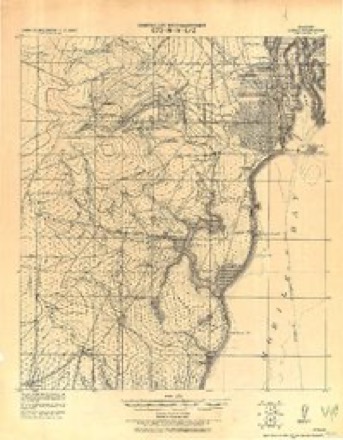
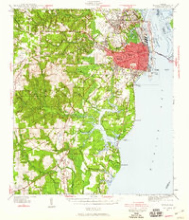
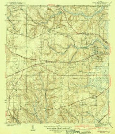
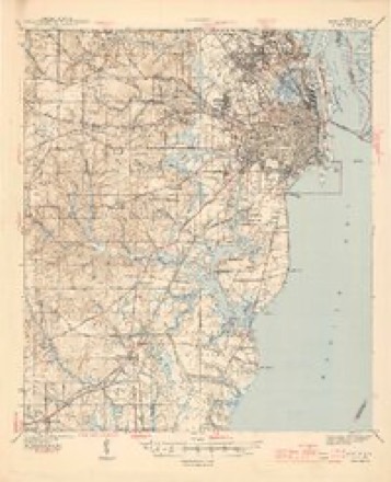
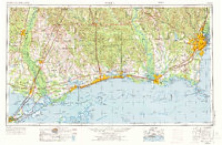
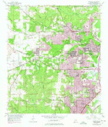
32 topographic sheets cover this place, the earliest surveyed in 1922 and the latest in 1994. It stands in the Mobile census division. It lies in ZIP code area 36618. It stands on Stone Branch. The Survey maps it on the Spring Hill quadrangle.
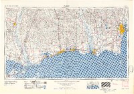
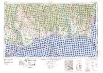
Topographic sheets covering this place
13 surveys from 32 printed sheetsMatched by testing this settlement's coordinate against the published boundary of every sheet in the United States Geological Survey's historical collection. Each opens the scanned sheet at the Survey.
- 1922 USGS Mobile quadrangle1:62500
- 1940 USGS Mobile quadrangle1:62500, 5 printings
- 1943 USGS Spring Hill quadrangle1:31680, 2 printings
- 1944 USGS Mobile quadrangle1:62500, 4 printings
- 1953 USGS Mobile quadrangle1:250000, 3 printings
- 1953 USGS Spring Hill quadrangle1:24000, 6 printings
- 1957 USGS Mobile quadrangle1:250000, 3 printings
- 1960 USGS Mobile quadrangle1:250000
- 1963 USGS Mobile quadrangle1:250000
- 1965 USGS Mobile quadrangle1:250000
- 1984 USGS Mobile quadrangle1:250000, 3 printings
- 1984 USGS Mobile quadrangle1:100000
- 1994 USGS Mobile quadrangle1:100000
Fires near this place
208 since 1994Regional context, not property-specific evidence. The federal wildfire occurrence database lists 208 fires within 5 miles of Orchard between 1994 and 2018, burning about 1,568 acres in total. 4 started naturally. 65 were recorded as arson. Distance is straight-line from the map coordinates, so a fire counted here may appear on a neighbouring settlement's page as well.
| Reported cause | Fires |
|---|---|
| Debris and open burning | 70 |
| Arson/incendiarism | 65 |
| Missing data/not specified/undetermined | 37 |
| Recreation and ceremony | 18 |
| Misuse of fire by a minor | 8 |
| Natural | 4 |
| Equipment and vehicle use | 3 |
| Railroad operations and maintenance | 3 |
The most recent of them, most recent first, with the day each was reported and the service that recorded it.
| Date | Cause | Size | Reported by | Name on the report |
|---|---|---|---|---|
| 8 September 1995 | Debris and open burning | 5.0 acres | Alabama Forestry Commission | not named |
| 3 September 2011 | Debris and open burning | 10 acres | Alabama Forestry Commission | AZALIA LANE (OAK GROVE), AL |
| 29 September 2003 | Debris and open burning | 1.7 acres | Alabama Forestry Commission | not named |
| 26 September 1996 | Missing data/not specified/undetermined | under an acre | Alabama Forestry Commission | not named |
| 26 September 1994 | Misuse of fire by a minor | 1.0 acres | Alabama Forestry Commission | not named |
| 24 September 2014 | Arson/incendiarism | under an acre | Alabama Forestry Commission | SWR-20140924-003 |
| 11 September 2012 | Missing data/not specified/undetermined | 1.0 acres | Alabama Forestry Commission | SWR-20120911-001 |
| 10 September 1999 | Arson/incendiarism | 2.0 acres | Alabama Forestry Commission | not named |
Settlements close enough to share some of these fires:
Mines and quarries near this place
10 of 12 shownRegional context, not property-specific evidence. The federal mineral resources record lists 12 workings within 5 miles of Orchard: 8 producers, 4 past producers. 8 still produce. What was taken out: Sand and Gravel, Construction, Sand and Gravel, Construction, Clay, Clay, Sand and Gravel, Construction, Clay. Distance is straight-line from the map coordinates, so a quarry counted here may appear on a neighbouring settlement's page as well.
| Where | Site | Commodity | Status | Recorded |
|---|---|---|---|---|
| Laidlaw No. 1 Pit | Clay | Past Producer | ||
| Laidlaw Number 1 Quarry | Clay, Sand and Gravel, Construction | Producer | Unconsolidated Sediments | |
| Tommy Graham Pit No. 2 | Clay, Sand and Gravel, Construction | Past Producer | ||
| Harris Quarry | Sand and Gravel, Construction, Clay | Producer | Unconsolidated Sediments | |
| John Maples Pit | Sand and Gravel, Construction, Clay | Past Producer | ||
| Tommy Graham Pit No. 1 | Sand and Gravel, Construction, Clay | Past Producer | ||
| Brunson Pit Number 6 | Sand and Gravel, Construction | Producer | Quartz | |
| Unnamed Quarry | Sand and Gravel, Construction | Producer | Quartz | |
| Unnamed Quarry | Sand and Gravel, Construction | Producer | Quartz | |
| Unnamed Quarry | Sand and Gravel, Construction | Producer | Quartz |
Storms near this place
11 since 2008Regional context, not property-specific evidence. The National Weather Service names Orchard in 11 storm reports between 2008 and 2025: 4 tornado, 3 hail, 3 thunderstorm wind, 1 flash flood. No death or injury is recorded in these reports. Each account below is quoted exactly as the forecast office filed it, from the NOAA Storm Events Database, and each date opens the federal record of that event.
| When | Event | Place named | Harm | What the report says |
|---|---|---|---|---|
| September 2019 | Flash Flood | Orchard | $100,000 | Nearly stationary thunderstorms developed over portions of eastern Mobile County from near the Regional airport eastward to downtown Mobile. These thunderstorms produced very heavy rain with storm total amounts of 4 inches to over 10 inches over rain in a few hours. Numerous reports of flooding were received from mid-town and downtown Mobile. Water covered roads and parking lots near Dauphin Street and Airport Blvd. near I-65, McGregor and Old Shell Road, Airport and Dauphin Island Parkway, Old Shell Road and Sage Road. Numerous cars were flooded and stranded in the area. Flooded roads were also reported in the Tillman's corner community. |
| April 2013 | Thunderstorm Wind | South Orchard | $5,000 | Winds estimated at 60 mph downed power lines. |
| May 2016 | Thunderstorm Wind | South Orchard | $2,000 | A severe thunderstorm wind gusts blew down a large tree near Dauphin Island Parkway and Saltaire Drive. |
| April 2015 | Thunderstorm Wind | Orchard | $1,000 | Severe thunderstorm winds blew a tree down in the roadway on Bear Fork Rd near Moffett Rd. |
| May 2025 | Tornado (EF0) | Orchard | - | The tornado first touched down just west of Orchard Dr, north of Howells |Ferry Rd. It continued northeast and moved across the Princeton Woods |subdivision. After that it crossed Moffett Rd near University Ave and |came to an end. No damage was noted further east toward N University Blvd.|There were numerous large branches downed with a few uprooted softwood trees|along the path. Two homes had trees or large branches on their roofs. |
| October 2022 | Tornado (EF0) | Orchard | - | Tornado began along Lucerne Drive and moved north-northeast as it|crossed Overlook Road. The damage along Lucerne Drive was|predominantly confined to trees and fences as the tornado moved|toward Donham Drive. The tornado then crossed Howells Ferry Road|and moved along Grider Road. The tornado continued to the north-|northeast with more damage to sheds and homes along Grider Road.|One home near Rose Hill Lane had some uplift to the roof with|more tree damage nearby. The tornado moved over a heavily wooded|area before likely lifting around Moffett Road. The tornado may|have continued off to the north-northeast, but that wooded area|is completely inaccessible. |
| March 2022 | Tornado (EF0) | Orchard | - | Another tornado began south of Howells Ferry Road, east of|Howells Lane. A couple trees were snapped in the residential area,|along with fencing down and the roof of an awning that was blown|down. A basketball hoop was knocked over into a brick pillar,|destroying the pillar. The storm progressed north-northeast and|uprooted one or two large trees and caused several snapped trees.|Minor roof damage was noted to a nearby home along with bent|garage doors as well. The tornado likely continued north-northeast|over more forest and dissipated possibly over an adjacent|landfill. Debris from this landfill was tossed into upstream|residential areas. |
| June 2020 | Tornado (EF0) | Orchard | - | A very brief, weak EF-0 tornado touched down just north of|Zeigler Blvd on Durbin Court and tracked northeast, lifting as it approached|the Mobile Fairgrounds. The damage with the tornado was very sporadic|and light, with mainly branches of softwood trees damaged. ||It should be noted that most of the notable damage was from 60 to 70 mph|straight line winds that continued further to the north and east toward |the Overlook Dr and Moffett Road areas, resulting in sporadic tree, power|line, and minor roof damage. Thanks to Mobile County EMA for their |assistance. |
| June 2023 | Hail | Orchard | - | no account filed |
| June 2018 | Hail | Orchard | - | no account filed |
| June 2008 | Hail | South Orchard | - | no account filed |
Nearest settlements
The eight closest, with where each one stands in the county. Distances are straight-line, computed from the Geographic Names Information System coordinates.
| Map | Place | Distance | Sheets |
|---|---|---|---|
| Princeton Woods | 0.9 miles | 32 | |
| Alpine Hills | 1.1 miles | 32 | |
| Granato Estates | 1.2 miles | 32 | |
| Hillsdale Heights | 1.4 miles | 32 | |
| Park Forest | 1.7 miles | 32 | |
| Parkview Estates | 1.8 miles | 32 | |
| Acropolis Heights | 1.8 miles | 32 | |
| Overlook Estates | 2.0 miles | 32 |
Provenance
This settlement is recorded in the Geographic Names Information System as feature 124301. The sheet list is computed by point-in-boundary test against the United States Geological Survey's historical topographic inventory. Both are works of the United States government and carry no copyright under 17 U.S.C. 105.
Wildfire. Short, Karen C. 2022. Spatial wildfire occurrence data for the United States, 1992-2020 [FPA_FOD_20221014]. 6th Edition. Fort Collins, CO: Forest Service Research Data Archive. https://doi.org/10.2737/RDS-2013-0009.6 Collected with United States Government funding and usable without additional permissions or fees.
Mines and quarries. USGS Mineral Resources Data System (MRDS) https://mrdata.usgs.gov/mrds/ A work of the United States government, no copyright under 17 U.S.C. 105.
Storms. NOAA National Centers for Environmental Information, Storm Events Database https://www.ncei.noaa.gov/stormevents/ A work of the United States government, no copyright under 17 U.S.C. 105. Narratives are quoted verbatim from the National Weather Service report and are not edited or summarised.