 Block
Pepperell, Alabama
14 topographic sheets cover this place, the earliest surveyed in 1907 and the latest in 1981. It stands in the Auburn-Opelika census division. It lies in ZIP code area 36801. The Survey maps it on the Opelika West quadrangle.
On record in Pepperell
Buildings and businesses the archive holds for this place. Each opens its own page, with the source record it came from.
On the National Register within a mile 1 record
The National Register names another town for these. They stand within one mile of this settlement's coordinate.
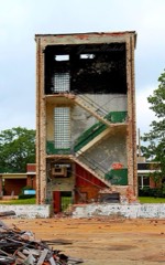 Pepperell Mill and Mill Village Historic Districtlisted 2014 · 0.2 miles away
Topographic sheets covering this place
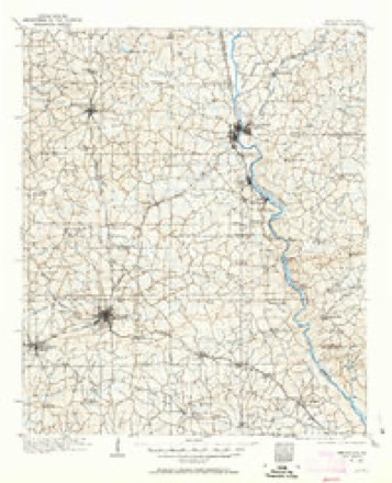
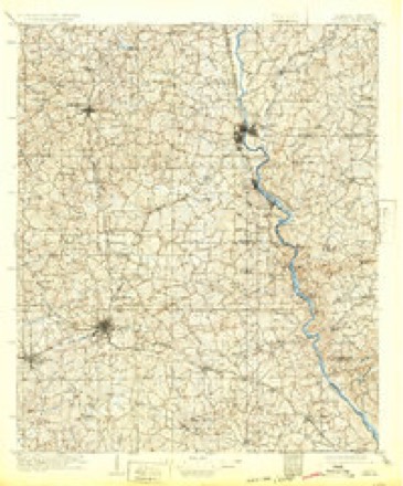
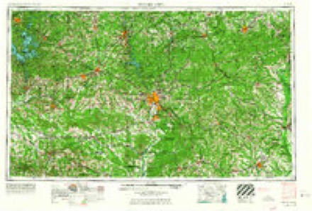
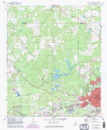
7 surveys from 14 printed sheetsMatched by testing this settlement's coordinate against the published boundary of every sheet in the United States Geological Survey's historical collection. Each opens the scanned sheet at the Survey.
- 1907 USGS Opelika quadrangle1:125000
- 1909 USGS Opelika quadrangle1:125000, 4 printings
- 1955 USGS Phenix City quadrangle1:250000, 3 printings
- 1957 USGS Phenix City quadrangle1:250000
- 1958 USGS Phenix City quadrangle1:250000
- 1971 USGS Opelika West quadrangle1:24000, 3 printings
- 1981 USGS Opelika quadrangle1:100000
Fires near this place
18 since 1994Regional context, not property-specific evidence. The federal wildfire occurrence database lists 18 fires within 5 miles of Pepperell between 1994 and 2014, burning about 250 acres in total. None started naturally. 2 were recorded as arson. Distance is straight-line from the map coordinates, so a fire counted here may appear on a neighbouring settlement's page as well.
| Reported cause | Fires |
|---|---|
| Debris and open burning | 6 |
| Equipment and vehicle use | 4 |
| Missing data/not specified/undetermined | 3 |
| Arson/incendiarism | 2 |
| Misuse of fire by a minor | 1 |
| Recreation and ceremony | 1 |
| Power generation/transmission/distribution | 1 |
The most recent of them, most recent first, with the day each was reported and the service that recorded it.
| Date | Cause | Size | Reported by | Name on the report |
|---|---|---|---|---|
| 7 September 2010 | Equipment and vehicle use | 35 acres | Alabama Forestry Commission | not named |
| 26 September 2014 | Missing data/not specified/undetermined | under an acre | Alabama Forestry Commission | ECR-20140926-001 |
| 9 August 2000 | Arson/incendiarism | under an acre | Alabama Forestry Commission | not named |
| 9 August 2000 | Arson/incendiarism | 2.0 acres | Alabama Forestry Commission | not named |
| 31 August 1998 | Debris and open burning | 1.0 acres | Alabama Forestry Commission | not named |
| 16 August 2007 | Equipment and vehicle use | 2.0 acres | Alabama Forestry Commission | not named |
| 30 July 2007 | Debris and open burning | 1.0 acres | Alabama Forestry Commission | not named |
| 24 June 2011 | Power generation/transmission/distribution | 6.0 acres | Alabama Forestry Commission | HWY 147, AL |
Settlements close enough to share some of these fires:
Mines and quarries near this place
6 within 5 milesRegional context, not property-specific evidence. The federal mineral resources record lists 6 workings within 5 miles of Pepperell: 3 occurrences, 1 past producer, 1 prospect, 1 unknown. None of them still produces. What was taken out: Gold, Titanium, Mica, Aluminum. Distance is straight-line from the map coordinates, so a quarry counted here may appear on a neighbouring settlement's page as well.
| Where | Site | Commodity | Status | Recorded |
|---|---|---|---|---|
| Bruce Priester Prospect | Titanium | Occurrence | ||
| Crutchfield Mine | Gold | Past Producer | Gold | |
| Hilyer-Knight Prospect | Iron | Occurrence | ||
| North Opelika Gibbsite Prospect | Aluminum | Occurrence | 1977 | |
| T H Clower Prospect | Feldspar, Mica | Unknown | ||
| Yarborough-Smith-Neighbor Prospect | Mica | Prospect |
Storms near this place
6 since 2007Regional context, not property-specific evidence. The National Weather Service names Pepperell in 6 storm reports between 2007 and 2026: 5 thunderstorm wind, 1 tornado. The reports record 1 injury. Each account below is quoted exactly as the forecast office filed it, from the NOAA Storm Events Database, and each date opens the federal record of that event.
| When | Event | Place named | Harm | What the report says |
|---|---|---|---|---|
| February 2017 | Thunderstorm Wind | Pepperell | 1 hurt | National Weather Service meteorologists surveyed damage in the city of Opelika that was consistent with straight line wind damage, with maximum sustained winds estimated at 60 to 70 mph.||This swath of damaging wind began at a large warehouse building on Williamson Avenue. Significant structure and roof damage was sustained. The damaging winds continued northeastward onto Steel Street, where another industrial building sustained roof damage, along with minor damage to other structures. The Goo Goo Car Wash on Marvyn Parkway sustained significant roof damage just to the northeast, where the swath of damaging winds ended. The swath was 0.66 miles long and was 150 yards wide at its widest point. One person sustained minor injuries at the car wash. ||Thanks to Lee County EMA for their assistance with this survey. |
| May 2010 | Thunderstorm Wind | Pepperell | $25,000 | A single tree was blown down onto a mobile home, destroying the home. |
| June 2007 | Thunderstorm Wind | Pepperell | $20,000 | Numerous trees were blown down, from near the East Alabama Medical Center in Opelika, southward to the County Road 146 area in the central part of the county. At least one tree fell on a home. |
| March 2026 | Thunderstorm Wind | Pepperell | - | A tree fell on a home on Terracewood Dr, a tree and power line were downed on Hunter St, and a tree was downed on Veterans Pkwy. |
| January 2017 | Tornado (EF0) | Pepperell | - | National Weather Service meteorologists surveyed damage in Central Lee County and determined that the damage was consistent with an EF0 tornado, with maximum sustained winds near 65 mph. A weak tornado formed near the intersection of Ballard Avenue and Edgemont Street on the south side of Opelika, just east of Alabama State Road 51, where shingle damage occurred. A pine tree was knocked down as the tornado crossed Alabama State Road 169. Several pine trees were uprooted and more shingle damage occurred as the tornado crossed Old Columbus Road before dissipating. |
| January 2013 | Thunderstorm Wind | Pepperell | - | A tree was blown over, onto a manufactured home, trapping one person inside. No injuries reported. |
Nearest settlements
The eight closest, with where each one stands in the county. Distances are straight-line, computed from the Geographic Names Information System coordinates.
| Map | Place | Distance | Sheets |
|---|---|---|---|
| Spring Hill Heights | 0.5 miles | 14 | |
| Five Points | 0.9 miles | 14 | |
| Harwell Hills | 1.2 miles | 14 | |
| Westside | 1.2 miles | 14 | |
| Orr Estates | 1.2 miles | 13 | |
| Village Hills | 1.6 miles | 14 | |
| Indian Hills | 1.7 miles | 13 | |
| Alta Vista | 1.9 miles | 14 |
Provenance
This settlement is recorded in the Geographic Names Information System as feature 124601. The sheet list is computed by point-in-boundary test against the United States Geological Survey's historical topographic inventory. Both are works of the United States government and carry no copyright under 17 U.S.C. 105.
Wildfire. Short, Karen C. 2022. Spatial wildfire occurrence data for the United States, 1992-2020 [FPA_FOD_20221014]. 6th Edition. Fort Collins, CO: Forest Service Research Data Archive. https://doi.org/10.2737/RDS-2013-0009.6 Collected with United States Government funding and usable without additional permissions or fees.
Mines and quarries. USGS Mineral Resources Data System (MRDS) https://mrdata.usgs.gov/mrds/ A work of the United States government, no copyright under 17 U.S.C. 105.
Storms. NOAA National Centers for Environmental Information, Storm Events Database https://www.ncei.noaa.gov/stormevents/ A work of the United States government, no copyright under 17 U.S.C. 105. Narratives are quoted verbatim from the National Weather Service report and are not edited or summarised.