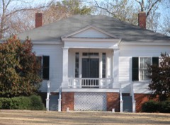
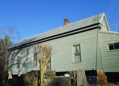
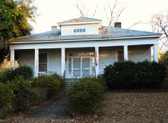
Block
From the record
26 National Register listings published here.
Sources: the National Register database, National Park Service
46 topographic sheets and 15 fire insurance atlases across 2 places.
26 National Register listings published here.
Sources: the National Register database, National Park Service
Taken for the Office of War Information and the Farm Security Administration, who photographed the country between 1935 and 1944. Works of United States government photographers, with no known restriction on use. Each opens its catalogue record.



















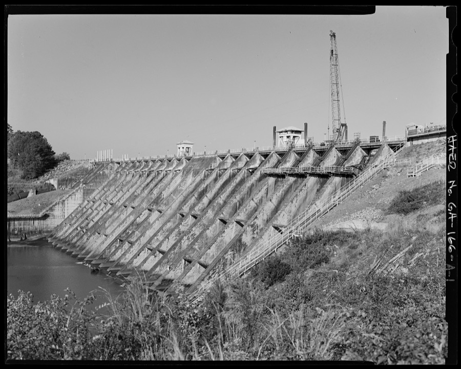

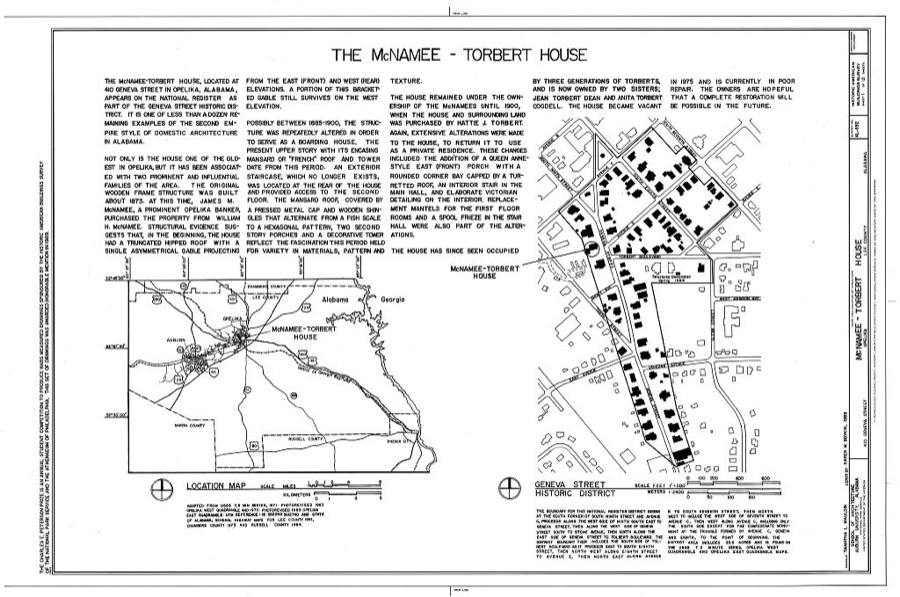
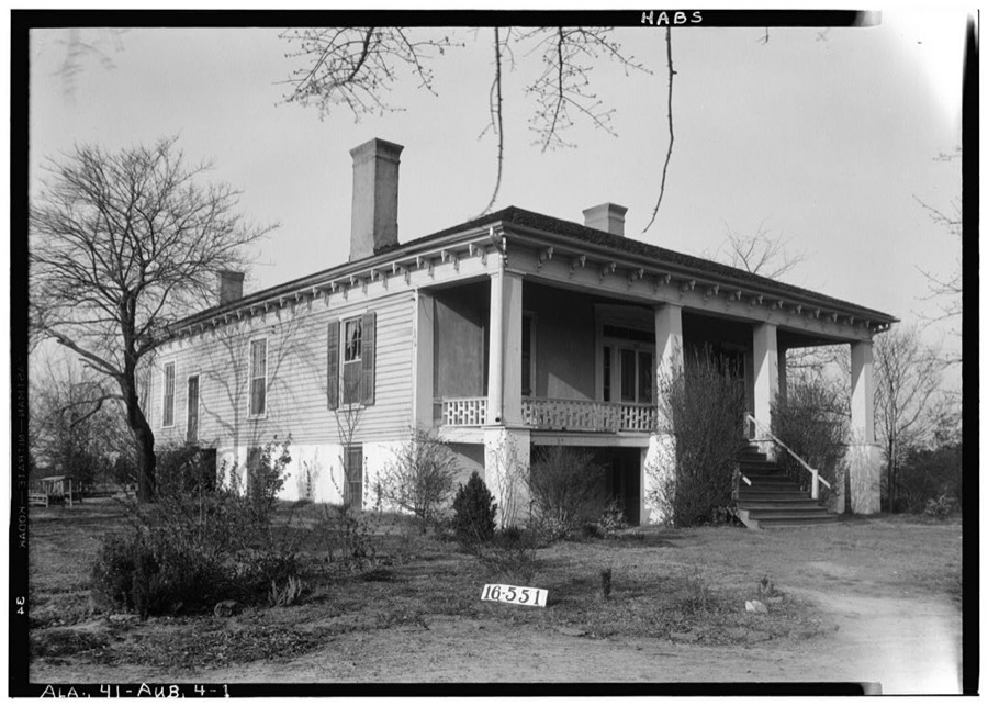
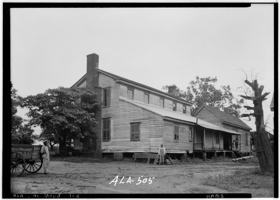
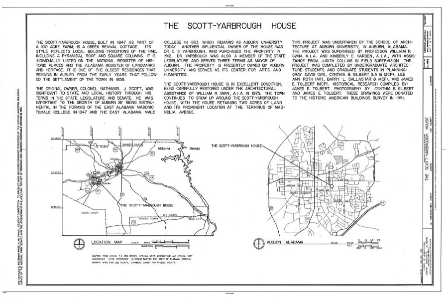
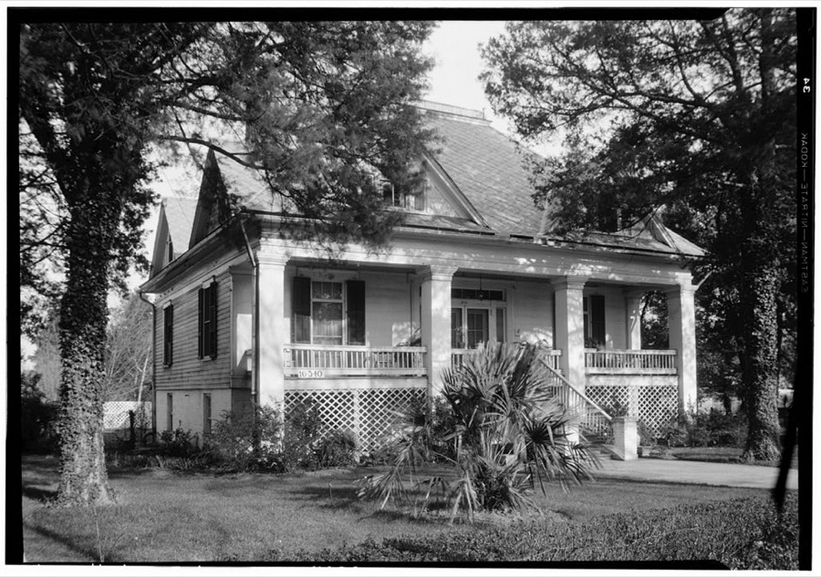
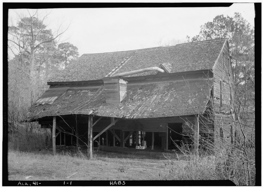
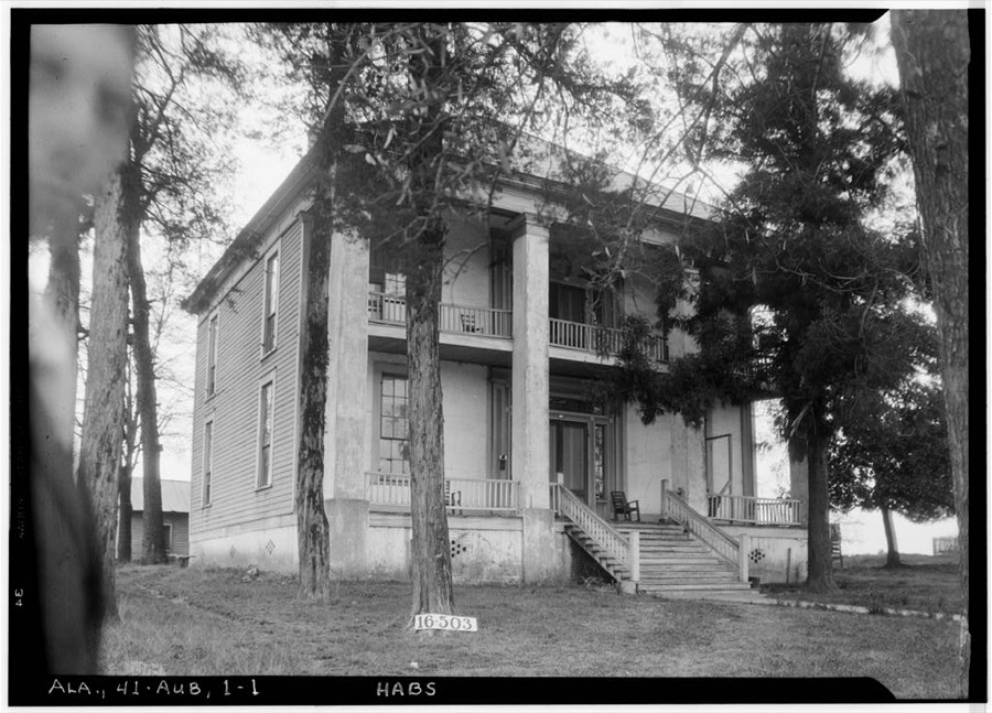
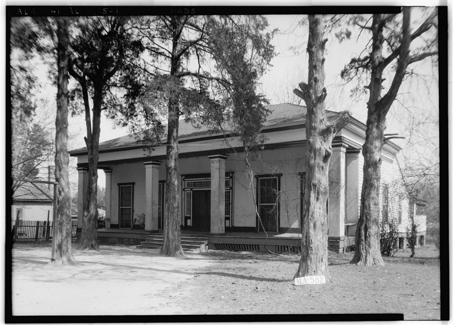
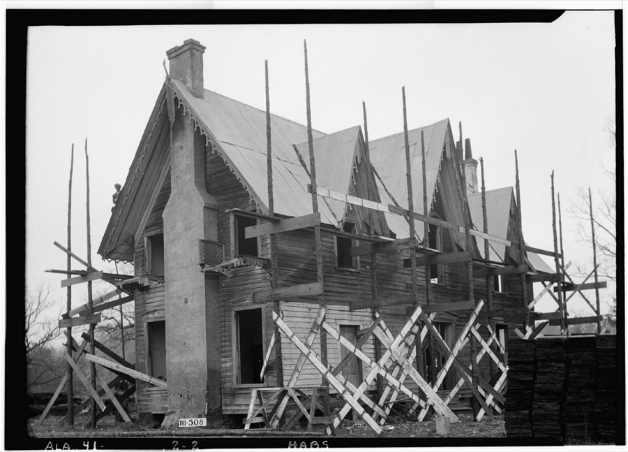
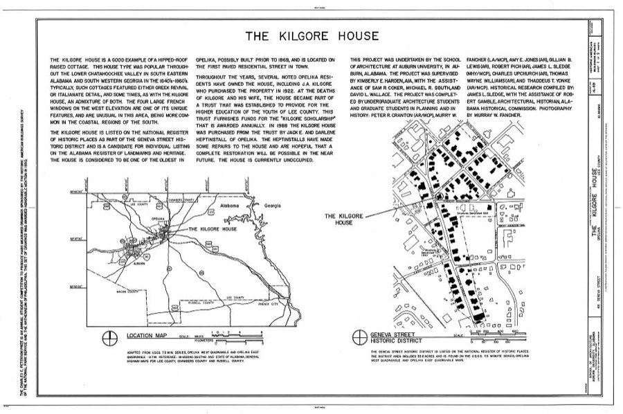
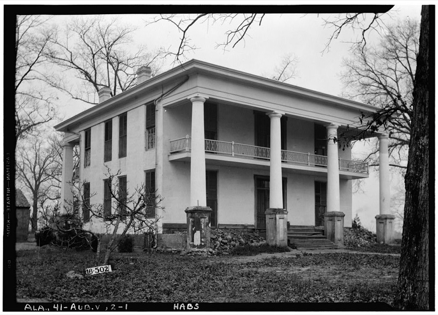
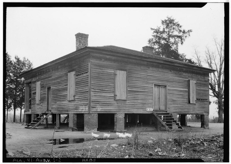
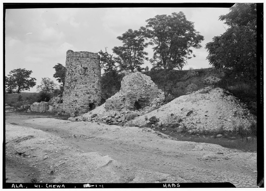
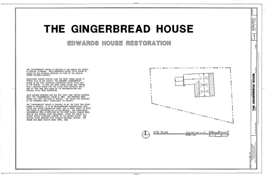
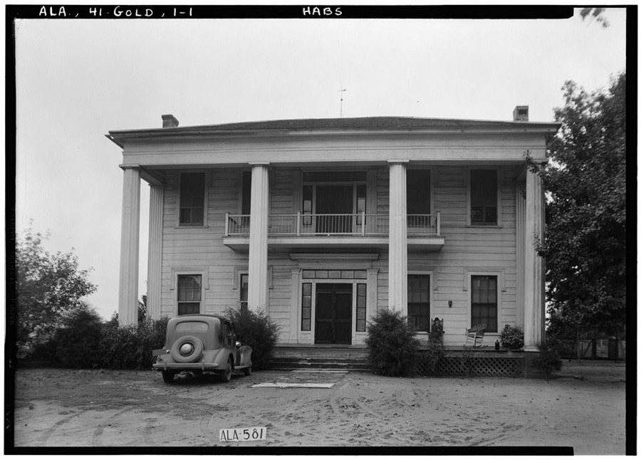
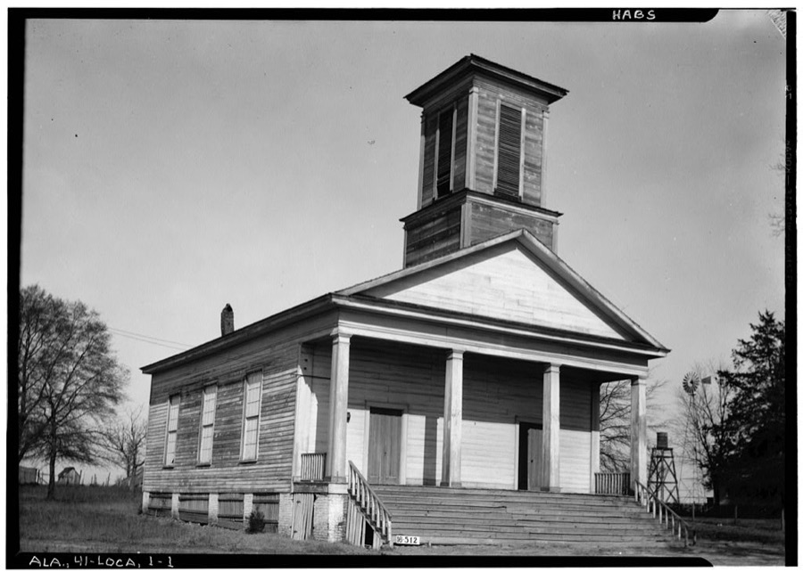
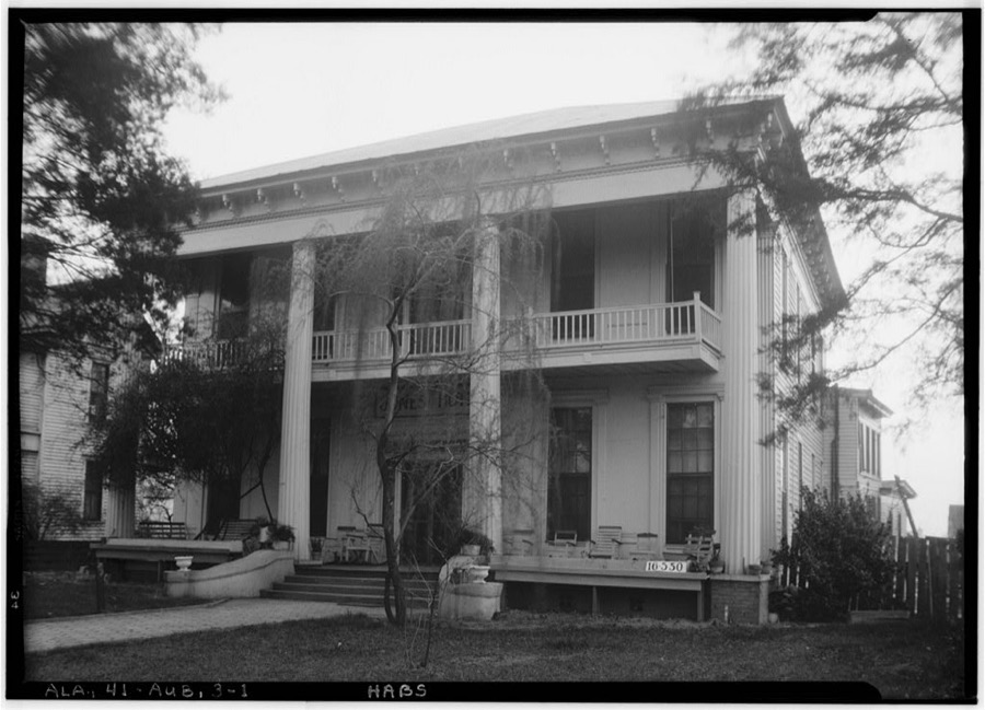
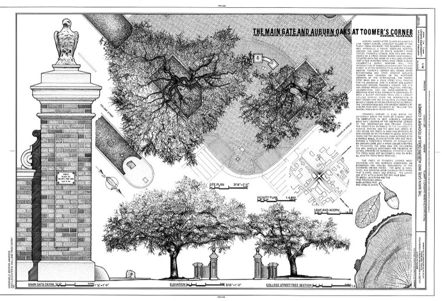
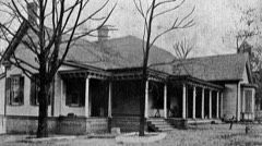
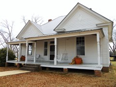
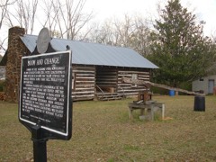
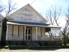
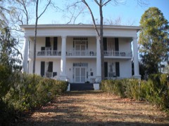
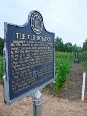
Every property in this county listed on the National Register of Historic Places, with the year it was listed and the federal nomination document.
Selected from the Digital Public Library of America's 6 image records catalogued for this county. Every one shown here carries a public-domain status or a licence that permits reuse on a site that carries advertising; non-commercial, share-alike and restricted images are excluded. The selection is spread across the county's towns (at most eight per town), so no single institution's bulk upload crowds out the rest. Each opens the holding library's record, and the complete set at the Digital Public Library of America is one click away.

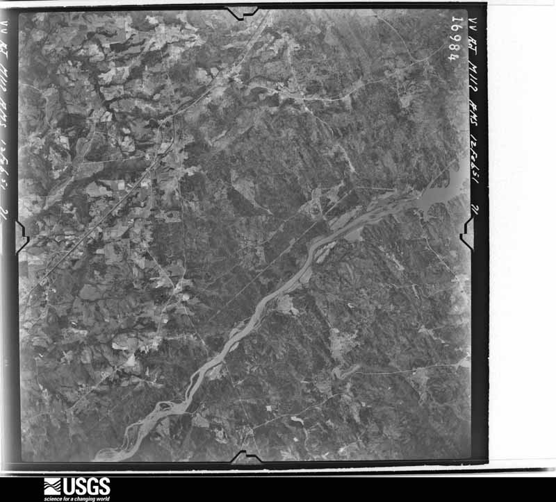
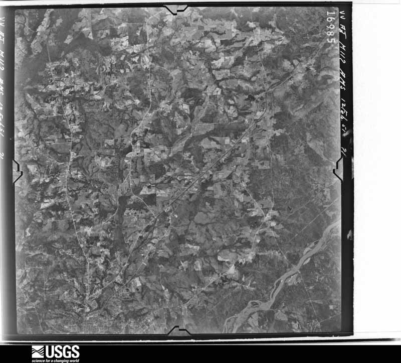
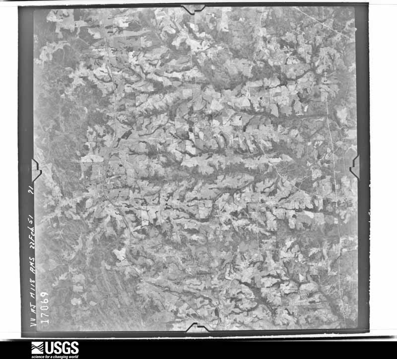
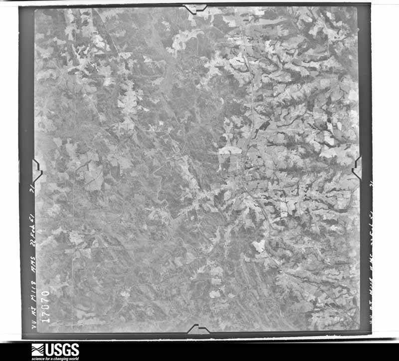
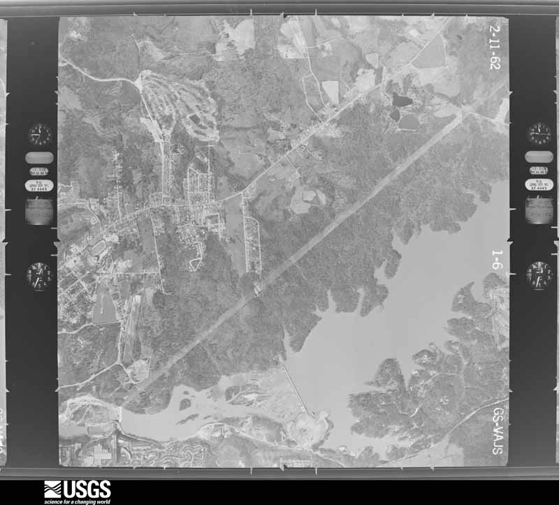
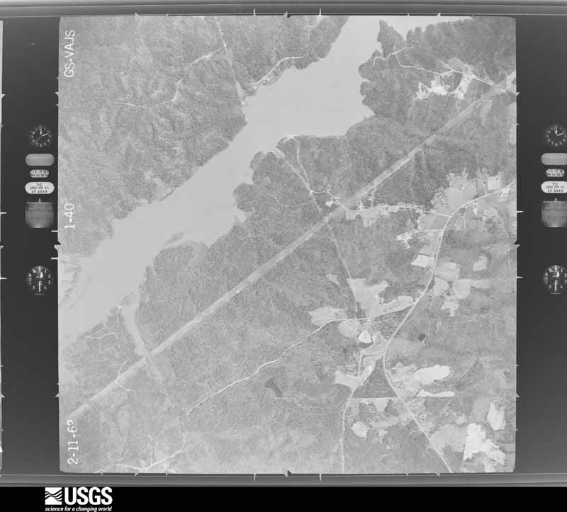
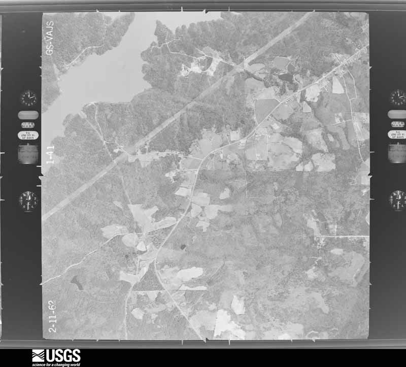
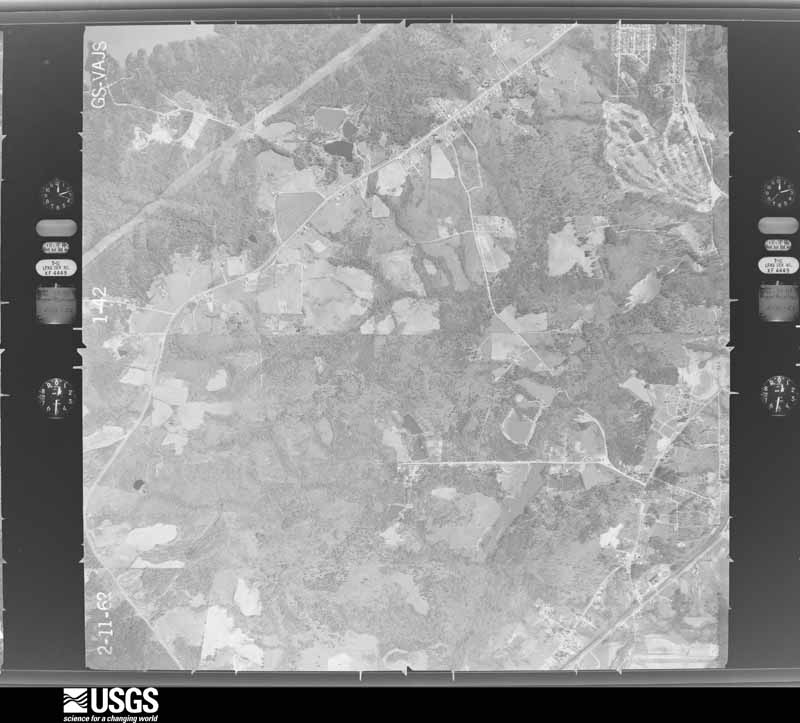
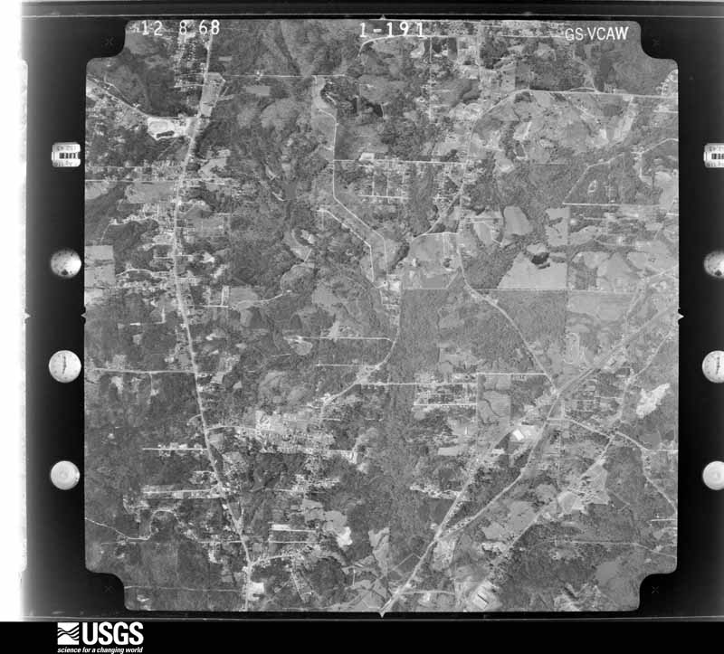
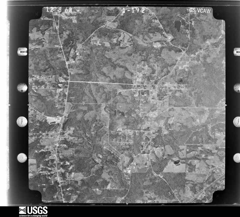
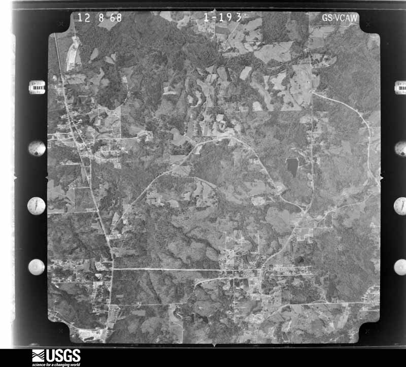
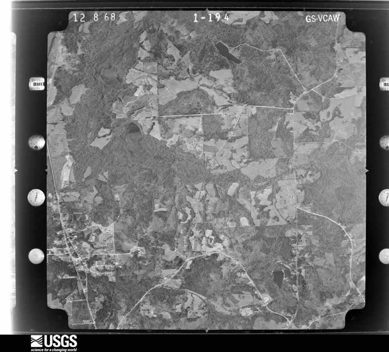
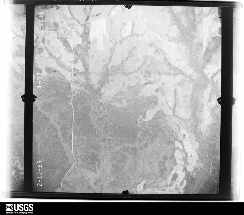
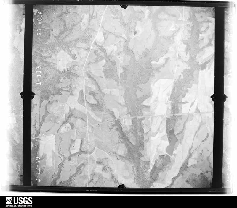
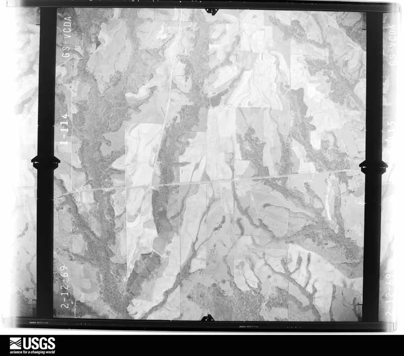
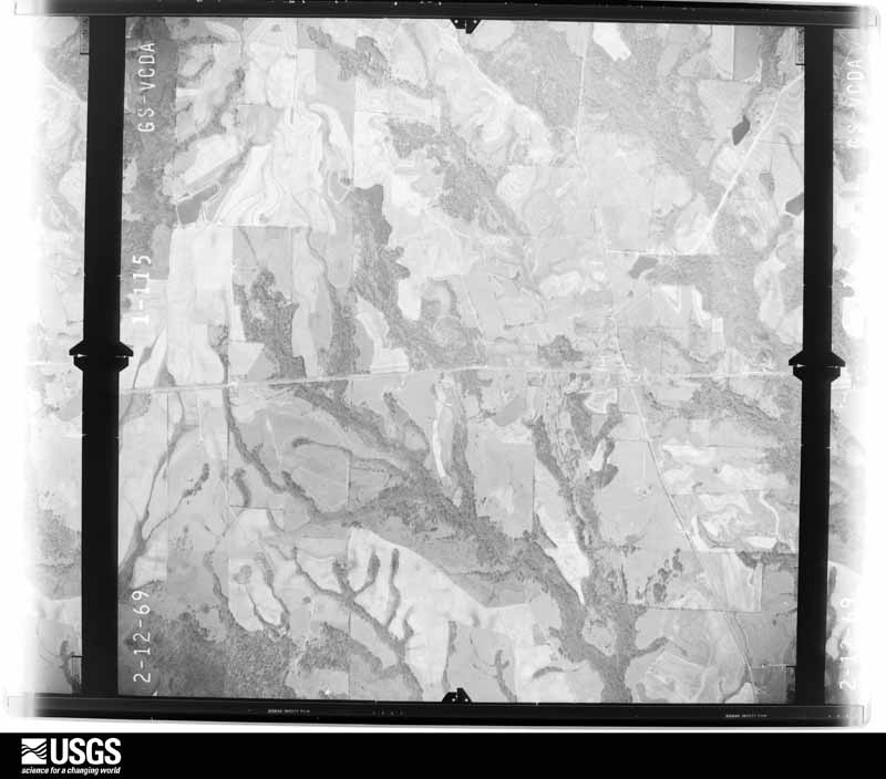
Flown by the U.S. Geological Survey between 1937 and 1989, the Aerial Photo Single Frames collection is the definitive mid-century view of the land: fields, roads and rivers as the camera saw them. The Survey holds 931 frames inside the rectangle that bounds this county; the 16 frames below were taken over the county itself, chosen across the decades of flights (at most four a year from that rectangle), so one flight cannot crowd out the rest. The full set is free to browse and download at EarthExplorer under the dataset Aerial Photo Single Frames.
The thermometers that kept this county's weather, and the gages that measured the flow of its streams, as the federal records hold them. The extremes below are measured values from those records, not estimates.
Who lived here in 1950, one enumeration district at a time, as the Census Bureau described each district. Each row opens its official National Archives result, with Population Schedules and ED Maps available there.
Every wildfire the federal occurrence database records inside this county: 534 of them, burning about 6,784 acres. 13 started naturally and 92 were recorded as arson. Each settlement page carries the fires within five miles of it.
| Reported cause | Fires |
|---|---|
| Debris and open burning | 187 |
| Missing data/not specified/undetermined | 110 |
| Arson/incendiarism | 92 |
| Recreation and ceremony | 43 |
| Equipment and vehicle use | 37 |
| Misuse of fire by a minor | 25 |
| Smoking | 16 |
| Natural | 13 |
| Railroad operations and maintenance | 5 |
| Power generation/transmission/distribution | 3 |
| Other causes | 2 |
| Fireworks | 1 |
The five largest, by the area the report gives. Three of them were set deliberately.
| Date | Cause | Size | Reported by | Name on the report |
|---|---|---|---|---|
| 21 March 2011 | Missing data/not specified/undetermined | 250 acres | Alabama Forestry Commission | CO RD 249, AL |
| 11 April 2018 | Arson/incendiarism | 215 acres | Alabama Forestry Commission | 20180411-4 |
| 10 March 2013 | Missing data/not specified/undetermined | 200 acres | Alabama Forestry Commission | ECR-20130310-003 |
| 9 March 2018 | Missing data/not specified/undetermined | 200 acres | Alabama Forestry Commission | 20180309-10 |
| 30 June 2009 | Arson/incendiarism | 171 acres | Alabama Forestry Commission | AUBURN |
| 12 March 2004 | Arson/incendiarism | 155 acres | Alabama Forestry Commission | LEE |
| 24 August 2011 | Natural | 147 acres | Alabama Forestry Commission | CO RD 17, AL |
| 26 March 2008 | Debris and open burning | 144 acres | Alabama Forestry Commission | BEULAH |
Every settlement page carries the fires within five miles of it - see the settlement index below.
The NOAA Storm Events Database holds 435 reports for this county, causing 33 deaths, 326 injuries and about $17,300,050 in recorded property damage. Each settlement page carries the reports that name it.
| Kind of event | Reports |
|---|---|
| Thunderstorm Wind | 214 |
| Hail | 128 |
| Tornado | 44 |
| Flash Flood | 25 |
| Lightning | 15 |
| Funnel Cloud | 6 |
| Heavy Rain | 2 |
| Flood | 1 |
The most serious of them, by death, then injury, then recorded damage. The accounts are quoted exactly as the forecast office filed them.
| When | Event | Place named | Harm | What the report says |
|---|---|---|---|---|
| March 2019 | Tornado (EF4) | Bupree | 23 killed, 90 hurt | National Weather Service meteorologists surveyed damage in far southern Lee County and determined that it was consistent with an EF4 tornado, with maximum sustained winds near 170 mph.||This track is a continuation of a track that began in Macon County. The tornado crossed into Lee County near Lee Road 812 and tracked northeast to County Road 29 where it removed the roof and collapsed several cinder block walls of a church. The tornado continued to intensify as it approached County Road 11, where it peeled sheet metal off of the porch of a home and ripped some sheet metal off of two outdoor storage sheds and continued to uproot numerous pine trees. Debris from structures and their contents were strewn along a tree line to the east of their original location and some evidence of weak ground rowing was observed along the surface tornado path.||The tornado reached its peak intensity just south of the intersection of Lee County Road 36 and Lee County Road 39, where it rolled a manufactured home and emptied its contents nearby on the northern side of the track. Additional damage toward the southern portion of the track included the complete destruction of a house with all debris tossed a short distance from the foundation. The tornado bent the frame of a car around the remnant of a large tree whose upper portion had broken off and totaled three vehicles by severe impacts into the bases of two remaining tree stubs. Farther east on the other side of a small lake, a well-anchored and constructed home was leveled with debris removed from the foundation and anchored bolt screws remaining intact. Toward the northern edge of the tornado, the destruction of two double-wide and a single-wide manufactured home was observed. This was the peak intensity of the tornado due to the combination of damage to the two houses along with extensive severe tree damage including trees snapped at their bases and large trees with expansive root systems uprooted along with some sporadic evidence of ground rowing.||The tornado began to decrease in intensity as it continued east roughly paralleling Lee County Road 39 where two manufactured homes were destroyed with most debris deposited away from the original location and both of the metal frames of the mobile homes could not be located. Another manufactured home was destroyed with its contents deposited in a swath from the site into the remains of a nearby tree line. A car was found in an overturned position against a hardy tree stripped of most limbs with a mattress from a bed wrapped around the mid portion of the tree. A badly mangled metal frame of a manufactured home and debris displaced nearby was all that remained of one residence. Nearby a tractor trailer rig was on its side and shoved around a sturdy tree while a nearby site-built home lost nearly all of its exterior walls with debris remaining on or near the home site. Severe tree destruction continued in this area with trees snapped at their bases and uprooted. To the north of Lee County Road 39, significant debris was deposited in a wooded area where the tornado performed significant timber damage and toppled at least one high-tension power line tower.||After demolishing two double-wide and a single-wide manufactured home the tornado tracked northeast and crossed Lee County Road 51 just north of the intersection with Lee County Road 39. A double-wide manufactured home was moved off of its base and the exterior walls collapsed on a family residence along with significant tree damage.|Some weakening occurred farther east as the tornado crossed Lee County Road 38 where it deposited a large amount of debris into a ragged forested area. The tornado crossed Lee County Road 100 and Lee County Road 166 where it caused damage to trees with some trunks snapped and some trees uprooted.||Tornado damage was observed along Lee County Road 165 and along portions of Lee County Road 40 and Lee County Road 2049. Exterior walls of a family residence were removed and a significant loss of roofing material from a house and a manufactured home were observed. The tornado flipped a manufactured home and deposited its contents nearby along with destroying the roof and walls of a single-wide manufactured home.||The tornado crossed Lee County Road 170 and County Road 175, and then Highway 169 with significant damage to timber along this path. The tornado crossed Lee County Road 245 and Lee County Road 179 with damage to the roof of a house near County Road 239 along with more timber damage. As it approached Smiths Station, the tornado crossed Fullers Lake where it rolled a manufactured home and caused some loss of roofing material to a house. Additional damage occurred along Lee County Road 294 and Lee County Road 298 where a professional building lost some of its roofing materials. Damage also occurred to siding and roofing at several small homes that were not well constructed. As the tornado crossed U.S. Highway 280 it caused some roof damage to a restaurant, damaged a billboard and collapsed a cellular service communications tower. The tornado moved across Lee County Road 318 where some roof damage to homes occurred along with significant timber damage. The tornado moved tracked towards the Chattahoochee River where it caused roof damage to some houses near the river and downed a metal high-tension power line tower. The tornado crossed the Chattahoochee River and continued into Georgia.||There were 23 fatalities and 90 injuries. The American Red Cross estimated 225 homes were destroyed, while another 133 homes sustained major damage. |
| April 1953 | Tornado (F3) | not stated | 6 killed, 195 hurt, $2,500,000 | no account filed |
| March 1996 | Thunderstorm Wind | Opelika | 1 killed, $50,000 | no account filed |
| June 1998 | Thunderstorm Wind | Auburn | 1 killed, $10,000 | no account filed |
| July 2024 | Lightning | Motts | 1 killed | A lightning strike at the Lee County Flea Market in Smiths Station at approximately 12:45 PM CDT resulted in a fatality. |
| July 2017 | Lightning | Cawatchee | 1 killed | A 34 year old male died when he was struck by lightning while boating on Lake Harding. |
| April 1980 | Tornado (F2) | not stated | 13 hurt, $2,500,000 | no account filed |
| April 2014 | Tornado (EF3) | Prince Xrd | 13 hurt | The tornado crossed into Lee County, approximately six-tenths of a mile west of County Line Road. It continued to the northeast and strengthened to its maximum intensity near AL-169, with winds of 140 mph. At this location, approximately 6 manufactured homes were lifted, rolled, and completely destroyed. Additionally, a split level home had its roof and the exterior walls of the top floor removed. Three wood frame homes were also lifted off their foundation and completely destroyed. Several more homes sustained roof damage. Hundreds of trees were snapped off or were uprooted, with several trees debarked. From here, the tornado traveled northeast, where it continuously uprooted trees along its path. As it crossed lee County Road 205, one home suffered extensive roof damage, while approximately 20 additional homes sustained mainly shingle damage. The tornado crossed Lee County Road 179, where a few additional homes suffered minor roof damage as well. As it continue to the northeast, it began to weaken considerably and crossed US-280. A few trees were uprooted at this location. The tornado lifted along Lee County Road 298, approximately four-tenths of a mile from Lee County Road 318. |
| December 1954 | Tornado (F3) | not stated | 4 hurt, $250,000 | no account filed |
| February 2009 | Tornado (EF2) | Salem | 3 hurt, $1,100,000 | The tornado touched down southwest of the community of Salem. It then moved just north of due east, crossing US-280 and several smaller county roads, before lifting at CR-379. Winds estimated at 125-130 mph destroyed 6 mobile homes and 4 site built homes, badly damaged 8 homes, and caused minor damage to 9 others. Two area businesses were destroyed, one other received minor damage, and one school building was damaged. Hundreds of trees were snapped off and uprooted, and one 18-wheeler was overturned. There were three minor injuries reported, only one that required hospitalization. |
| November 2011 | Tornado (EF1) | Loachapoka | 2 hurt, $4,000,000 | A tornado initially touched down in Macon County Alabama and crossed into Lee County approximately 1 mile southwest of Lee Road 3. It continued its northeastward path causing extensive tree damage across western Lee County. Dozens of houses and mobile homes on the western side of Auburn were heavily damaged due to falling trees. Several residences were destroyed. One female and one child were injured when trees fell on a mobile home. Significant damage was also noted in the Terrace Acres neighborhood, where homes were heavily damaged from falling trees. The tornado crossed the southern edge of Auburn University's campus and caused damage to the baseball facilities at Auburn High School and nearby homes. The tornado crossed interstate 85 at US highway 280 and continued moving to the northeast toward Lake Harding. Along the lake, extensive tree damage and damage to numerous homes and boathouses occurred. Several residences were destroyed or sustained complete roof loss. The tornado continued into Harris County Georgia (See November Storm Data from WFO Peachtree City). |
| June 2020 | Lightning | Prince Xrd | 2 hurt | Home located on Lee Road 2087 struck by lightning with ensuing fire. Two women struck by lightning on the same road. Both survived with unknown injuries. |
| May 1984 | Tornado (F2) | not stated | 1 hurt, $250,000 | no account filed |
| March 2019 | Tornado (EF1) | Marvyn | 1 hurt | National Weather Service meteorologists surveyed damage in far southern Lee County and determined that it was consistent with an EF1 tornado, with maximum sustained winds near 105 mph.||This tornado was a continuation of the Macon County Tornado. The tornado entered Lee County about 1.2 miles north of Highway 80. It traveled northeast and crossed County Road 29, County Road 11, Cave Mill Road, and Alabama Highway 51. It continued northeast across County Road 166, County Road 165, and finally lifted near County Road 170. Numerous trees were snapped off and uprooted across southern Lee County. Many mobile homes and frame homes suffered varying degrees of roof damage. Two mobile homes were rolled over near the end of the damage path and one person was injured. |
| February 2017 | Thunderstorm Wind | Pepperell | 1 hurt | National Weather Service meteorologists surveyed damage in the city of Opelika that was consistent with straight line wind damage, with maximum sustained winds estimated at 60 to 70 mph.||This swath of damaging wind began at a large warehouse building on Williamson Avenue. Significant structure and roof damage was sustained. The damaging winds continued northeastward onto Steel Street, where another industrial building sustained roof damage, along with minor damage to other structures. The Goo Goo Car Wash on Marvyn Parkway sustained significant roof damage just to the northeast, where the swath of damaging winds ended. The swath was 0.66 miles long and was 150 yards wide at its widest point. One person sustained minor injuries at the car wash. ||Thanks to Lee County EMA for their assistance with this survey. |
| February 1990 | Thunderstorm Wind | not stated | 1 hurt | no account filed |
| January 1975 | Tornado (F2) | not stated | $2,500,000 | no account filed |
| June 1999 | Flash Flood | Countywide | $1,500,000 | Four to six inches of rainfall in a short period of time caused extensive flooding throughout Lee County. The hardest hit areas were Auburn and Opelika. Numerous roads and highways were closed in and around Auburn and Opelika. Numerous motorists drove into the water covered roads and were stranded. A few bridges were washed away and destroyed. Several hundred homes received some sort of flood damage. Many businesses also received damage due to the high water. One small dam also broke in North Auburn. |
| April 2005 | Flash Flood | Countywide | $300,000 | Doppler radar estimated several inches of rain in a short period of time across Lee County. The rain fell on already saturated ground. Several roads were flooded and were temporarily impassable. Two bridges were totally destroyed. One culvert was totally washed away. A retaining wall collapsed in Auburn. |
| April 2003 | Hail | Loachapoka | $250,000 | The long track, steady state supercell maintained its fairly slow track east southeast across southern Lee County. Hail was reported up to baseball size near Beauregard. Several automobiles and homes were damaged. A few trees were also blown down along the path. |
| April 2009 | Tornado (EF1) | Loachapoka | $150,000 | The tornado touched down just west of the town of Loachapoka along CR-64. It then moved through Loachapoka, and nearly paralleled AL-14 for several miles, before lifting just south of AL-14 east of CR-51. Hundreds of trees were snapped off and uprooted along the path. In Loachapoka, a church sustained moderate roof damage, several barns and outbuildings suffered varying degrees of damage, and a few vehicles were damaged by the fallen trees. |
| May 2009 | Tornado (EF0) | Cawatchee | $100,000 | The weak tornado touched down in northeast Lee County on the south side of Halawaka Creek. Starting just to the west of Forest Road and traveling to the northwest, the tornado lifted after it crossed Lee Road 462 and crossed into the lake. Damage along the path included approximately 150 trees snapped or uprooted, several of which fell onto homes and other buildings, including sheds and boat houses. |
| July 2008 | Lightning | Beehive | $100,000 | Lightning struck a house, causing it to catch fire. The roof was completely burned. One occupant escaped without injury. |
| March 2007 | Tornado (EF1) | Smiths | $100,000 | The tornado that touched down near the Russell-Lee County line tracked northeastward across southern Lee County. It strengthened as it approached Lake Oliver on the Chattahoochee River. The greatest damage was from Summerville Road into the River Oak and Rock Island areas. Numerous pine trees were snapped off and some hardwoods were uprooted. At least 20 residential properties reported tree damage. At least 25 homes suffered shingle, window or minor structural damage. Some of the fallen trees landed on homes and produced moderate damage. The tornado then continued eastward into Muscogee County, Georgia. |
| March 2005 | Flash Flood | Countywide | $80,000 | Several severe thunderstorms moved across Lee County and each one brought a few inches of rain with it. These heavy rains fell on already saturated ground and caused flooding. Several roadways were underwater and subsequently closed. One bridge was washed out. |
| March 1996 | Thunderstorm Wind | Opelika | $80,000 | no account filed |
| May 2009 | Lightning | Pine Grove | $75,000 | A lightning strike caused a house fire, on Lee County Road 390. |
| July 2004 | Flash Flood | Auburn | $75,000 | Heavy rain in a short period of time caused flash flooding across the metro area. Water was up to 4 feet deep across several roadways. Several automobiles weredamaged by flood waters. |
| July 2002 | Lightning | Opelika | $75,000 | A lightning strike caused significant damage to an Opelika Power Substation. The lightning set a fire in the substation in which flames reached heights of over 50 feet. Six hundred gallons of mineral oil subsequently leaked out of the substation. |
| February 2009 | Tornado (EF1) | Ridge Grove | $65,000 | The tornado touched down briefly near the intersection of US-280 and CR-147, near an area known as The Bottle. One building sustained heavy damage when its metal roof was peeled off. One car was overturned at a used car dealership and a few trees were snapped or uprooted. |
| April 2011 | Thunderstorm Wind | Auburn | $50,000 | Several trees were blown down in and around Auburn. |
| June 2011 | Flash Flood | Roanoke Jct | $50,000 | Several areas around the city of Opelika experienced flash flooding due to thunderstorms with very heavy rain. Water rose to the roofs of several cars, and several swift water rescues were needed. |
| May 2009 | Thunderstorm Wind | Auburn | $50,000 | Trees and power lines were blown down at several locations across Lee County. A church roof sustained moderate damage, and a parking deck had minor roof damage. A large tree fell onto a county bucket truck, and damaged the county garage shop. |
| July 2007 | Thunderstorm Wind | Smiths | $50,000 | Numerous trees were blown down in the Smiths Community. One tree was blown down on a mobile home, briefly trapping two people inside. |
| July 1994 | Thunderstorm Wind | Auburn | $50,000 | Thunderstorm winds damaged or uprooted 15 trees on the Auburn University campus, two trees falling on vehicles. Damage was also caused to a pavilion at the track, a window on the top floor of the Haley Center, and to windows in several vehicles. |
| August 1994 | Tornado (F0) | Opelika | $50,000 | Thunderstorm wind and what appears to have been a small tornado caused structural damage and downed trees along Highway 51 in the Beauregard area about 8.5 miles south of Opelika. Several houses sustained some damage along with numerous uprooted trees. A car was damaged by flying tin from an out-building that was destroyed. |
| June 1994 | Thunderstorm Wind | Auburn | $50,000 | Thunderstorm wind downed several trees which fell on two houses and two vehicles. |
| July 2003 | Flash Flood | Countywide | $40,000 | no account filed |
| January 2003 | Thunderstorm Wind | Opelika | $35,000 | Numerous trees and power lines were blown down near Opelika and Auburn. A few automobiles were damaged by falling trees. |
| July 2005 | Tornado (F0) | Opelika | $34,000 | National Weather Service meteorologists surveyed the damage just east of Opelika and determined the damage was the result of a tornado. The tornado touched down at approximately 340 PM CDT 8.5 miles east of Opelika, along County Road 158 just east of Lee Road 269. At least two mobile homes sustained minor damage, dozens of trees and power lines were snapped off or blown down, and a spare tire was removed from a vehicle and thrown several yards away. The tornado damage path was 1.2 miles long and 200 yards wide at its widest point. This tornado was spawned during Tropical Storm Cindy.Begin: 32 39.81/85 14.07 End: 32 40.79/85 14.49 |
| April 2009 | Tornado (EF1) | Mitchell Xrd | $30,000 | The tornado touched down south of the Beauregard community, just west of AL-51. It then traveled southeast for just over two miles, lifting near CR-42. The most significant damage occurred near CR-758, where a mobile home received damage, a few other structures suffered roof damage and several trees and power lines were either snapped off or were uprooted. |
| July 2000 | Thunderstorm Wind | Countywide | $30,000 | Numerous trees and power lines were knocked down across Lee County. Several trees landed on homes and vehicles. Some trees fell onto roadways and this caused several accidents. |
| November 2004 | Tornado (F0) | Opelika | $28,000 | no account filed |
| May 2010 | Thunderstorm Wind | Pepperell | $25,000 | A single tree was blown down onto a mobile home, destroying the home. |
| January 1998 | Flash Flood | Countywide | $25,000 | no account filed |
| June 1996 | Thunderstorm Wind | Phenix City | $25,000 | no account filed |
| June 1978 | Tornado (F1) | not stated | $25,000 | no account filed |
| March 2005 | Hail | Loachapoka | $23,000 | no account filed |
| June 2007 | Thunderstorm Wind | Pepperell | $20,000 | Numerous trees were blown down, from near the East Alabama Medical Center in Opelika, southward to the County Road 146 area in the central part of the county. At least one tree fell on a home. |
| March 2005 | Flash Flood | Countywide | $20,000 | Doppler radar estimated up to 3 inches of rain in a three hour period. This heavy rain fell on already saturated ground. Doppler radar estimated up to 8 inches in a 24 hour period. Several roads were temporarily impassable due to high water. Several area creeks and streams were out of their banks. |
| July 1998 | Thunderstorm Wind | Auburn | $20,000 | Trees and power lines were down in Auburn. A tractor trailer was blown over in the wind and did significant damage to a building. |
| September 1996 | Lightning | Auburn | $20,000 | no account filed |
| October 2004 | Thunderstorm Wind | Loachapoka | $17,000 | no account filed |
| March 2005 | Hail | Smiths | $16,000 | Hail up to the size of golf balls fell across the extreme southeastern part of Lee County. |
| May 2004 | Thunderstorm Wind | Auburn | $16,000 | A few trees were knocked down or snapped off in Auburn. One of the trees fell on a home and it sustained moderate damage. |
| April 2011 | Thunderstorm Wind | Auburn | $15,000 | The roof of a mobile home was removed and trees and powerlines were blown down. |
| June 1998 | Thunderstorm Wind | Auburn | $15,000 | Trees were down in Auburn, including one on a trailer. |
| May 1995 | Thunderstorm Wind | not stated | $15,000 | A wind gust to 57 miles an hour was reported at the East Alabama Medical Center on their measuring equipment in Opelika. Trees were downed in scattered areas across the county. One tree fell and blocked a road for a short time on the Auburn University campus. |
| January 1996 | Thunderstorm Wind | Opelika | $15,000 | no account filed |
| June 1996 | Lightning | Auburn | $15,000 | no account filed |
The Survey's mineral resources record lists 11 workings inside this county. 3 still produce and 8 are closed or unrecorded. Each settlement page carries the workings within five miles of it.
| Commodity | Workings |
|---|---|
| Stone, Crushed/Broken | 2 |
| Clay | 2 |
| Aluminum | 1 |
| Stone, Dimension | 1 |
| Feldspar, Mica | 1 |
| Titanium | 1 |
| Iron | 1 |
| Mica | 1 |
| Feldspar | 1 |
The least common of them first, because a county's hundredth gravel pit says nothing its first ten did not.
| Where | Site | Commodity | Status | Recorded |
|---|---|---|---|---|
| Bruce Priester Prospect | Titanium | Occurrence | ||
| Hilyer-Knight Prospect | Iron | Occurrence | ||
| James Dimension Stone Quarry | Stone, Dimension | Past Producer | ||
| Lee 1 Clay Prospect | Feldspar | Prospect | ||
| North Opelika Gibbsite Prospect | Aluminum | Occurrence | 1977 | |
| T H Clower Prospect | Feldspar, Mica | Unknown | ||
| Yarborough-Smith-Neighbor Prospect | Mica | Prospect | ||
| Auburn Plant & Quarry | Stone, Crushed/Broken | Producer | ||
| Hearn Mine | Clay | Producer | ||
| Kiln-Gilmore Dolomite Quarry | Stone, Crushed/Broken | Past Producer | ||
| Salem Pit | Clay | Plant |
Named settlements recorded in the Geographic Names Information System, each with the topographic sheets covering it. Villages, hamlets and abandoned places alike. Each is shown with the nearest named watercourse or landform and the survey quadrangle it falls on. The 2 places that were also surveyed for fire insurance come first, with the number of atlases and photographs held for them.
Auburn-Opelika census division · 36830 · Auburn quadrangle
13 sheets, 1907 to 1981
Fire insurance: 6 atlases
Auburn-Opelika census division · 36801 · Opelika West quadrangle
14 sheets, 1907 to 1981
Fire insurance: 9 atlases
Beulah census division · 36804 · On Little Halawaka Creek · Opelika East quadrangle
15 sheets, 1907 to 1981
Beauregard-Marvyn census division · 36804 · On Robinson Creek · Parkers Crossroads quadrangle
13 sheets, 1907 to 1981
Beulah census division · 36854 · On Osanippa Creek · Beulah quadrangle
13 sheets, 1907 to 1981
Auburn-Opelika census division · 36830 · Opelika West quadrangle
14 sheets, 1907 to 1981
Auburn-Opelika census division · 36804 · Parkers Crossroads quadrangle
13 sheets, 1907 to 1981
Auburn-Opelika census division · 36801 · Opelika West quadrangle
14 sheets, 1907 to 1981
Auburn-Opelika census division · 36804 · On Robinson Creek · Auburn quadrangle
13 sheets, 1907 to 1981
Auburn-Opelika census division · 36832 · Loachapoka quadrangle
13 sheets, 1906 to 1998
Beauregard-Marvyn census division · 36830 · On Nash Creek · Auburn quadrangle
13 sheets, 1907 to 1981
Auburn-Opelika census division · 36801 · Opelika East quadrangle
15 sheets, 1907 to 1981
Auburn-Opelika census division · 36804 · Parkers Crossroads quadrangle
13 sheets, 1907 to 1981
Loachapoka-Roxana census division · 36830 · Opelika West quadrangle
14 sheets, 1907 to 1981
Auburn-Opelika census division · 36801 · Opelika West quadrangle
14 sheets, 1907 to 1981
Auburn-Opelika census division · 36830 · Opelika West quadrangle
14 sheets, 1907 to 1981
Beauregard-Marvyn census division · 36804 · On Flake Creek · Parkers Crossroads quadrangle
13 sheets, 1907 to 1981
Auburn-Opelika census division · 36801 · Opelika West quadrangle
14 sheets, 1907 to 1981
Auburn-Opelika census division · 36830 · Opelika West quadrangle
14 sheets, 1907 to 1981
Beauregard-Marvyn census division · 36804 · Parkers Crossroads quadrangle
13 sheets, 1907 to 1981
Auburn-Opelika census division · 36801 · Opelika West quadrangle
14 sheets, 1907 to 1981
Loachapoka-Roxana census division · 36879 · On Swingle Creek · Waverly quadrangle
11 sheets, 1906 to 1981
Beulah census division · 36854 · On Osanippa Creek · Beulah quadrangle
13 sheets, 1907 to 1981
Auburn-Opelika census division · 36832 · Loachapoka quadrangle
13 sheets, 1906 to 1998
Auburn-Opelika census division · 36801 · Opelika West quadrangle
14 sheets, 1907 to 1981
Loachapoka-Roxana census division · 36832 · Loachapoka quadrangle
13 sheets, 1906 to 1998
Beulah census division · 36854 · On Osanippa Creek · Beulah quadrangle
13 sheets, 1907 to 1981
Loachapoka-Roxana census division · 36832 · On Bird Creek · Notasulga quadrangle
11 sheets, 1906 to 1981
Beauregard-Marvyn census division · 36874 · On Flake Creek · Parkers Crossroads quadrangle
13 sheets, 1907 to 1981
Beauregard-Marvyn census division · 36874 · On Flake Creek · Parkers Crossroads quadrangle
13 sheets, 1907 to 1981
Beauregard-Marvyn census division · 36874 · On Flake Creek · Parkers Crossroads quadrangle
13 sheets, 1907 to 1981
Loachapoka-Roxana census division · 36879 · Waverly quadrangle
11 sheets, 1906 to 1981
Beauregard-Marvyn census division · 36804 · On Nash Creek · Auburn quadrangle
13 sheets, 1907 to 1981
Beauregard-Marvyn census division · 36874 · On Peters Creek · Bleecker quadrangle
14 sheets, 1907 to 1981
Smiths Station census division · 36877 · Smiths Station quadrangle
14 sheets, 1907 to 1981
Auburn-Opelika census division · 36801 · Opelika East quadrangle
15 sheets, 1907 to 1981
Auburn-Opelika census division · 36801 · Opelika West quadrangle
14 sheets, 1907 to 1981
Auburn-Opelika census division · 36801 · Opelika West quadrangle
14 sheets, 1907 to 1981
Auburn-Opelika census division · 36801 · Opelika West quadrangle
14 sheets, 1907 to 1981
Auburn-Opelika census division · 36830 · On Moores Mill Creek · Auburn quadrangle
13 sheets, 1907 to 1981
Auburn-Opelika census division · 36804 · Parkers Crossroads quadrangle
13 sheets, 1907 to 1981
Beauregard-Marvyn census division · 36874 · On Sturkie Creek · Bleecker quadrangle
14 sheets, 1907 to 1981
Auburn-Opelika census division · 36832 · Loachapoka quadrangle
13 sheets, 1906 to 1998
Auburn-Opelika census division · 36801 · Opelika East quadrangle
15 sheets, 1907 to 1981
Auburn-Opelika census division · 36801 · Opelika West quadrangle
14 sheets, 1907 to 1981
Loachapoka-Roxana census division · 36879 · On Little Loblockee Creek · Waverly quadrangle
11 sheets, 1906 to 1981
Auburn-Opelika census division · 36832 · On Parkerson Mill Creek · Loachapoka quadrangle
13 sheets, 1906 to 1998
Smiths Station census division · 36877 · Smiths Station quadrangle
14 sheets, 1907 to 1981
Auburn-Opelika census division · 36801 · Opelika West quadrangle
14 sheets, 1907 to 1981
Loachapoka-Roxana census division · 36801 · Opelika West quadrangle
14 sheets, 1907 to 1981
Loachapoka-Roxana census division · 36830 · Opelika West quadrangle
14 sheets, 1907 to 1981
Beauregard-Marvyn census division · 36830 · On Moores Mill Creek · Auburn quadrangle
13 sheets, 1907 to 1981
Auburn-Opelika census division · 36804 · On Nash Creek · Auburn quadrangle
13 sheets, 1907 to 1981
Auburn-Opelika census division · 36830 · Auburn quadrangle
13 sheets, 1907 to 1981
Auburn-Opelika census division · 36830 · Opelika West quadrangle
14 sheets, 1907 to 1981
Beauregard-Marvyn census division · 36804 · Marvyn quadrangle
9 sheets, 1955 to 1981
Auburn-Opelika census division · 36830 · On Moores Mill Creek · Auburn quadrangle
13 sheets, 1907 to 1981
Auburn-Opelika census division · 36832 · Loachapoka quadrangle
13 sheets, 1906 to 1998
Beauregard-Marvyn census division · 36830 · On Moores Mill Creek · Auburn quadrangle
13 sheets, 1907 to 1981
14 topographic sheets and 9 fire insurance atlases, 1885 to 1949
13 topographic sheets and 6 fire insurance atlases, 1897 to 1949
The complete index, with nothing left out. Each of these is a separate record with its own page: a federal survey report, or the case file that argued a property on to the National Register. Both are public domain and reproduced word for word.