 Block
Pinedale, Alabama
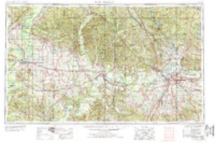
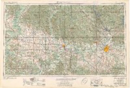
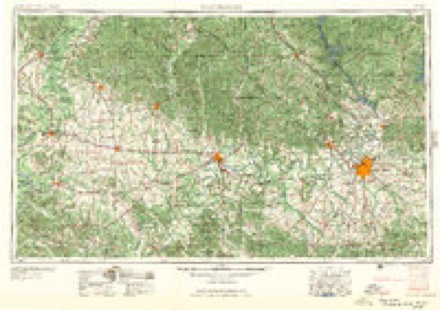
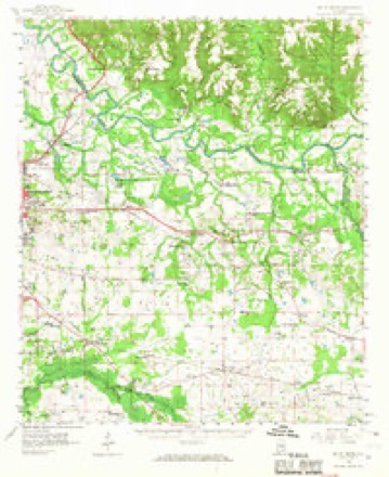
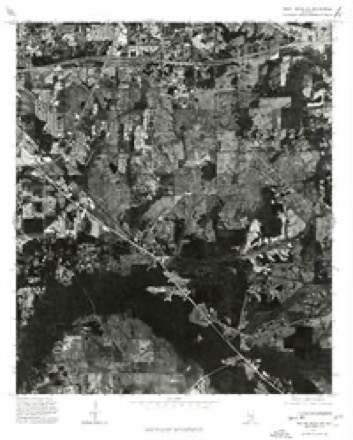
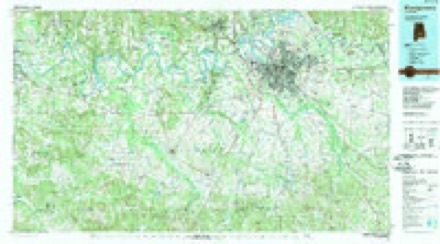
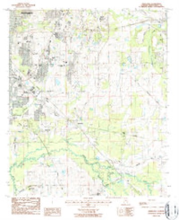
13 topographic sheets cover this place, the earliest surveyed in 1953 and the latest in 1987. It stands in the Pike Road census division. It lies in ZIP code area 36116. The Survey maps it on the Barachias quadrangle.
Topographic sheets covering this place
7 surveys from 13 printed sheetsMatched by testing this settlement's coordinate against the published boundary of every sheet in the United States Geological Survey's historical collection. Each opens the scanned sheet at the Survey.
- 1953 USGS Montgomery quadrangle1:250000, 4 printings
- 1956 USGS Montgomery quadrangle1:250000
- 1957 USGS Montgomery quadrangle1:250000
- 1958 USGS Mount Meigs quadrangle1:62500, 2 printings
- 1975 USGS Mount Meigs SW quadrangle1:24000
- 1986 USGS Montgomery quadrangle1:100000, 2 printings
- 1987 USGS Barachias quadrangle1:24000, 2 printings
Fires near this place
27 since 1995Regional context, not property-specific evidence. The federal wildfire occurrence database lists 27 fires within 5 miles of Pinedale between 1995 and 2019, burning about 103 acres in total. None started naturally. 2 were recorded as arson. Distance is straight-line from the map coordinates, so a fire counted here may appear on a neighbouring settlement's page as well.
| Reported cause | Fires |
|---|---|
| Debris and open burning | 12 |
| Missing data/not specified/undetermined | 7 |
| Equipment and vehicle use | 2 |
| Arson/incendiarism | 2 |
| Recreation and ceremony | 1 |
| Misuse of fire by a minor | 1 |
| Smoking | 1 |
| Power generation/transmission/distribution | 1 |
The most recent of them, most recent first, with the day each was reported and the service that recorded it.
| Date | Cause | Size | Reported by | Name on the report |
|---|---|---|---|---|
| 17 September 2019 | Missing data/not specified/undetermined | under an acre | Alabama Forestry Commission | 20190917-2 |
| 4 August 2011 | Debris and open burning | under an acre | Alabama Forestry Commission | OLD POND RD, AL |
| 30 August 2000 | Arson/incendiarism | 3.0 acres | Alabama Forestry Commission | not named |
| 27 August 2009 | Debris and open burning | 20 acres | Alabama Forestry Commission | TROTTMAN RD., AL |
| 24 August 1995 | Debris and open burning | 1.0 acres | Alabama Forestry Commission | not named |
| 18 August 2000 | Debris and open burning | 34 acres | Alabama Forestry Commission | not named |
| 26 June 2011 | Power generation/transmission/distribution | 1.0 acres | Alabama Forestry Commission | BRENTWOOD, AL |
| 23 June 2015 | Missing data/not specified/undetermined | under an acre | Alabama Forestry Commission | ECR-20150623-001 |
Settlements close enough to share some of these fires:
Storms near this place
14 since 2006Regional context, not property-specific evidence. The National Weather Service names Pinedale in 14 storm reports between 2006 and 2025: 7 thunderstorm wind, 3 tornado, 3 hail, 1 flood. The reports record 6 injuries. Each account below is quoted exactly as the forecast office filed it, from the NOAA Storm Events Database, and each date opens the federal record of that event.
| When | Event | Place named | Harm | What the report says |
|---|---|---|---|---|
| November 2006 | Tornado (F2) | Pinedale | 6 hurt, $500,000 | The Montgomery tornado touched down approximately 1.4 miles southwest of the Shakespeare Festival, and tracked northeastward across the Woodmere and Beauvoir Lakes Subdivisions. The tornado then crossed Interstate 85 at Bell Road and continued northeastward to the Atlanta Highway, just west of Taylor Road. Numerous trees were snapped off or downed along the path with minor roof damage to numerous homes. Near the Atlanta Highway, the tornado crossed the A.U.M. ball field complex and struck the Montgomery Postal Processing and Distribution Center and Post Office. The main doors of the post office were blown in and portions of the roof were lifted off to the north. Numerous trees were snapped off at ground level on the south and west sides of the building. A tractor trailer was completely turned around and moved 30 yards and flipped over. Other postal vehicles and cars in the parking lot were moved or received significant damage. Just to the north, the tornado produced major damage to the Fun Zone Skating Rink. This was a large metal building structure which was nearly totally destroyed. Several vehicles were tossed around and significantly damaged or crushed by debris from the building. As the tornado crossed the Atlanta Highway, several metal power poles were either significantly bent or downed. At the Saddleback Ridge Apartment Complex, at least two apartment buildings lost their roofs and portions of the second floor. The tornado continued another 2.25 miles northeastward, ending in a field just south of Wares Ferry Road. Six people suffered minor injuries. |
| April 2009 | Tornado (EF1) | Pinedale | $350,000 | A long-tracked tornado, that would eventually move into portions of Macon and Bullock Counties, first touched down near the intersection of US-80 (Eastern Blvd.) and AL-110 (Vaughan Road), on the east side of the city of Montgomery. The storm then moved east southeast through the eastern part of the Montgomery metro area, later crossing AL-271 (Taylor Road) and CR-85. It then impacted the Cecil community in the far eastern portion of the county, before moving into Macon County. At least 3 barns and several outbuildings were damaged or destroyed along the path. Dozens of homes suffered minor to moderate roof damage and numerous windows were broken. Thousands of trees were either snapped off or were uprooted along the path. Several homes and vehicles were damaged from flying or falling debris. An apartment complex on Vaughan Road sustained damage. The most concentrated damage occurred along Ray Thorington Road, where extensive tree damage was apparent, a school was damaged and a few homes were damaged. |
| June 2011 | Thunderstorm Wind | Pinedale | $2,000 | Trees were blown down in several locations on the southeast side of the city of Montgomery. |
| June 2009 | Thunderstorm Wind | Pinedale | $2,000 | Trees and power lines were blown down at several locations around the city of Montgomery, both in and just outisde the city limits. |
| June 2008 | Thunderstorm Wind | Pinedale | $2,000 | Several trees were blown down at Narrow Lane Road and Woodbridge Drive, in Montgomery. |
| May 2010 | Thunderstorm Wind | Pinedale | $1,000 | A few small pine trees and Bradford pears were blown down in the Cara Villa subdivision, in east Montgomery. |
| May 2009 | Thunderstorm Wind | Pinedale | $1,000 | A large tree was blown down on Woodley Circle, on the southeast side of Montgomery. |
| May 2025 | Hail | Pinedale | - | Nickel-size hail was reported in the Pinedale area of southeast city of Montgomery. |
| March 2024 | Hail | Pinedale | - | Several reports of quarter-size hail or slightly larger were received in south Montgomery and Pike Road. |
| April 2016 | Tornado (EF0) | Pinedale | - | NWS meteorologists surveyed damage to the southeast of the city of Montgomery near the Pinedale Community and determined it was the result of a tornado. The tornado touched down near the intersection of Woodley Road and Virginia Loop Road. It caused minor tree damage until it crossed US Highway 231, where significant damage occurred in the Pike Road Village mobile home park. Numerous large trees were snapped and uprooted, some of which damaged or destroyed mobile homes. The tornado continued eastward and crossed Bean Road where a mobile home had its roof removed and was shifted off its foundation. The tornado lifted north of Meriwether Road. |
| April 2013 | Thunderstorm Wind | Pinedale | - | A large tree was blown down and blocked the road near the intersection of McInnis Road and Patterson Road. |
| December 2013 | Flood | Pinedale | - | Approximately 12 hours of moderate to heavy rainfall fell over the city of Montgomery. This led to several cars being inudated with water at an apartment complex off of Southern Boulevard. Other cars become disabled on Landsdowne Drive. Rainfall measurements of at least 4.6 inches were recorded in the county. |
| May 2009 | Hail | Pinedale | - | Hail up to the size of nickels was reported at the WAKA-TV studio. |
| March 2007 | Thunderstorm Wind | Pinedale | - | Reported in the Spring Valley area, south of Montgomery. |
Nearest settlements
The eight closest, with where each one stands in the county. Distances are straight-line, computed from the Geographic Names Information System coordinates.
| Map | Place | Distance | Sheets |
|---|---|---|---|
| Mosswood | 0.2 miles | 13 | |
| Pine Forest Estates | 0.3 miles | 13 | |
| Hunters Point | 0.5 miles | 13 | |
| Bellemeade | 0.7 miles | 21 | |
| Woodley Meadows | 0.7 miles | 13 | |
| Monterey Park | 0.7 miles | 13 | |
| Macedonia | 0.9 miles | 13 | |
| Spring Park | 0.9 miles | 21 |
Provenance
This settlement is recorded in the Geographic Names Information System as feature 124851. The sheet list is computed by point-in-boundary test against the United States Geological Survey's historical topographic inventory. Both are works of the United States government and carry no copyright under 17 U.S.C. 105.
Wildfire. Short, Karen C. 2022. Spatial wildfire occurrence data for the United States, 1992-2020 [FPA_FOD_20221014]. 6th Edition. Fort Collins, CO: Forest Service Research Data Archive. https://doi.org/10.2737/RDS-2013-0009.6 Collected with United States Government funding and usable without additional permissions or fees.
Storms. NOAA National Centers for Environmental Information, Storm Events Database https://www.ncei.noaa.gov/stormevents/ A work of the United States government, no copyright under 17 U.S.C. 105. Narratives are quoted verbatim from the National Weather Service report and are not edited or summarised.