 Block
Pisgah, Alabama
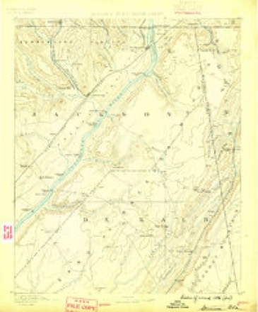
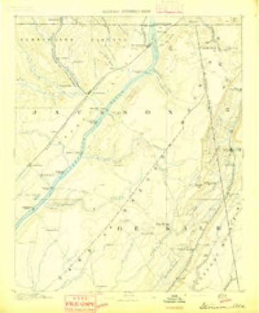
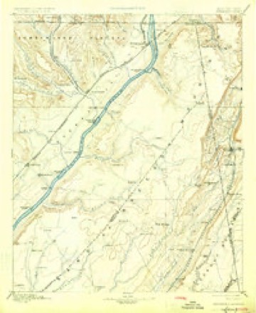
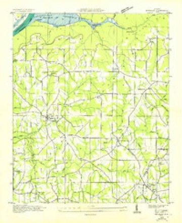
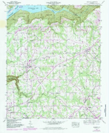
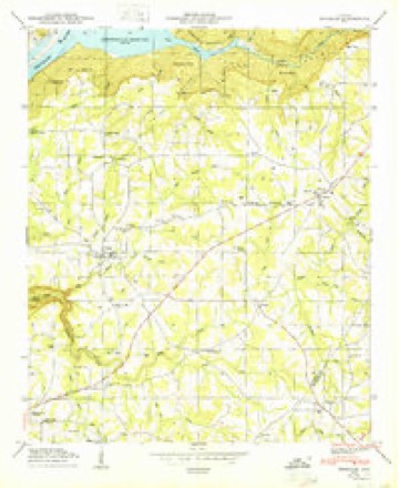
20 topographic sheets cover this place, the earliest surveyed in 1886 and the latest in 1981. It stands in the Pisgah census division. It lies in ZIP code area 35765. It stands on Dogwood Branch. The Survey maps it on the Henagar quadrangle. 681 people lived here at the 2020 count. It stands 1,370 feet above sea level.
Population over time
3 figuresPisgah fell from 706 to 681 between 2000 and 2020. These are the recorded population figures Wikidata holds for this place, reached through the Geographic Names Information System number this page is keyed on rather than by name, so they belong to this place and not to another of the same name. Most are census counts, but not all are: an early figure may be a founding or settlement estimate, and an estimate published within five years of a census is left out. The change column is computed, and is left blank where more than 20 years separate a figure from the one before it, because a gap that long is not a change between two counts.
| Year | People | Change |
|---|---|---|
| 2000 | 706 | |
| 2010 | 722 | +16 (+2%) |
| 2020 | 681 | -41 (-6%) |
Topographic sheets covering this place
11 surveys from 20 printed sheetsMatched by testing this settlement's coordinate against the published boundary of every sheet in the United States Geological Survey's historical collection. Each opens the scanned sheet at the Survey.
- 1886 USGS Stevenson quadrangle1:125000
- 1892 USGS Stevenson quadrangle1:125000
- 1895 USGS Stevenson quadrangle1:125000, 6 printings
- 1936 USGS Henagar quadrangle1:24000
- 1947 USGS Henagar quadrangle1:24000, 2 printings
- 1950 USGS Henagar quadrangle1:24000
- 1955 USGS Rome quadrangle1:250000
- 1958 USGS Rome quadrangle1:250000, 3 printings
- 1961 USGS Rome quadrangle1:250000
- 1963 USGS Rome quadrangle1:250000
- 1981 USGS Chickamauga quadrangle1:100000, 2 printings
Fires near this place
106 since 1994Regional context, not property-specific evidence. The federal wildfire occurrence database lists 106 fires within 5 miles of Pisgah between 1994 and 2019, burning about 1,338 acres in total. None started naturally. 26 were recorded as arson. Distance is straight-line from the map coordinates, so a fire counted here may appear on a neighbouring settlement's page as well.
| Reported cause | Fires |
|---|---|
| Debris and open burning | 52 |
| Arson/incendiarism | 26 |
| Missing data/not specified/undetermined | 23 |
| Recreation and ceremony | 3 |
| Smoking | 2 |
The most recent of them, most recent first, with the day each was reported and the service that recorded it.
| Date | Cause | Size | Reported by | Name on the report |
|---|---|---|---|---|
| 9 September 2002 | Debris and open burning | 60 acres | Alabama Forestry Commission | not named |
| 8 September 2002 | Debris and open burning | 4.0 acres | Alabama Forestry Commission | not named |
| 6 September 2005 | Arson/incendiarism | 15 acres | Alabama Forestry Commission | not named |
| 24 September 2016 | Debris and open burning | 4.0 acres | Alabama Forestry Commission | 20160924-6 |
| 23 September 2010 | Debris and open burning | 2.0 acres | Alabama Forestry Commission | not named |
| 21 September 2019 | Debris and open burning | 15 acres | Alabama Forestry Commission | 20190921-12 |
| 18 September 1998 | Arson/incendiarism | 2.0 acres | Alabama Forestry Commission | not named |
| 15 September 2016 | Debris and open burning | under an acre | Alabama Forestry Commission | 20160915-14 |
Settlements close enough to share some of these fires:
Mines and quarries near this place
1 within 5 milesRegional context, not property-specific evidence. The federal mineral resources record lists 1 working within 5 miles of Pisgah: 1 unknown. None of them still produces. What was taken out: Iron. Distance is straight-line from the map coordinates, so a quarry counted here may appear on a neighbouring settlement's page as well.
| Where | Site | Commodity | Status | Recorded |
|---|---|---|---|---|
| Jackson County | Iron | Unknown |
Storms near this place
26 since 1996Regional context, not property-specific evidence. The National Weather Service names Pisgah in 26 storm reports between 1996 and 2025: 11 thunderstorm wind, 7 hail, 6 tornado, 1 lightning. The reports record 1 death and 21 injuries. Each account below is quoted exactly as the forecast office filed it, from the NOAA Storm Events Database, and each date opens the federal record of that event.
| When | Event | Place named | Harm | What the report says |
|---|---|---|---|---|
| February 2008 | Tornado (EF4) | Pisgah | 1 killed, 12 hurt | Representatives from the National Weather Service and the Jackson County Emergency Management Agency conducted a storm survey of damage that occurred in Jackson County, Alabama early in the morning of February 6, 2008.||The damage was determined to originate from a strong tornado, which at its peak had winds of at least 180 MPH, giving it a rating of EF-4 on the Enhanced Fujita Scale. The most significant damage occurred at the corner of County Road 60 and 177, between the Rosalie and Pisgah communities in eastern Jackson County. This is also approximately the location where one fatality occurred. Trees along the tornado path were snapped and in some cases shredded, several houses were swept from their foundations, and a large section of a chicken house collapsed. Several large hay bales (weighing 2,500 pounds) were blown apart or tossed around. |
| May 2024 | Tornado (EF3) | Pisgah | 7 hurt, $4,500,000 | A tornado touched down on Highway 71 in Jackson County, snapping hard and softwood trees to begin its path. The tornado continued between County Roads 425 and 322, producing minor damage to the roof of a small farm building. The tornado then overturned a camper along County Road 422 requiring hospitalization including one experiencing blunt force trauma and another being a pregnant female. Five others with minor injuries were treated on the scene. Also at this location, a well-built home was partially destroyed. A mobile home was moved off its foundation here as well, with a third of the roof of a hay barn and a horse trailer destroyed. Projectiles were found in the field across the street from this home, with 2x4s impaled a foot to 18 in the ground at this location. Further south and east along State Road 40, large 100+ year old oak trees that were 4-5 foot in diameter were blown down onto a house, collapsing two exterior walls. Windows were sucked out at this location as well prior to the trees falling when the tornado passed just north of the house. Up the street, a well-built home sustained major damage when the tornado ripped the garage off of the house and sheared it to the north and east into the rest of the dwelling. EF-2 wind speeds of 135 mph were noted at this location.||Widespread fallen trees south of State Road 40 were noted and surveyors found damage indicators and degrees of damage consistent with EF-3 (140 mph) tornado damage. The tornado was the strongest and widest at this point along the path, at 880 yards or around 1/2 mile. Along County Road 125, a well built shop building was completely destroyed. The metal building structure was well-anchored with H-beams anchored with large bolts and plates at the bases to the foundation. The bolts were snapped and severely bent, along with the plates. On one corner, a large 4-5 foot section of the foundation was ripped off the ground and strewn about 10 feet away with the column anchoring still intact. A 20,000 pound 18-wheeler cab was tossed more than 150 yards into the field across County Road 125. Other nearby semi-trailers that were parked on the property were strewn in the same direction as well, though most were shifted 50-100 feet. The tornado then proceeded into DeKalb County. |
| March 1996 | Tornado (F1) | Pisgah | 2 hurt, $85,000 | no account filed |
| May 2024 | Tornado (EF1) | Pisgah | $138,000 | A tornado touched down on County Road 432 north of County Road 88 where several large limbs were snapped off of hardwood trees. The tornado then tracked south-southeast, just west of Pisgah, causing sparse tree limb damage before crossing County Road 372 and uprooting and snapping several trees near a residence. At this point, the tornado tracked southeast along County Road 58, uprooting several trees along the way, before it crossed Highway 71 and tracked southward. The track was more difficult to identify south of County Road 425, as it intersects with the Henegar EF-3 tornado which occurred the evening of the 8th. The track was identifiable once more along Highway 40 where it continued southward before lifting along County Road 392 with only sparse tree damage noted. |
| July 1997 | Lightning | Pisgah | $80,000 | A house in Pisgah, in the eastern part of the county, was struck by lightning and was a total loss. No one was home at the time and there were no injuries. |
| March 2009 | Tornado (EF0) | Pisgah | $15,000 | An EF-0 tornado with a peak wind of 85 mph completely ripped the roof off of a barn along County Road 60. Two houses sustained significant roof damage along County Road 58 just northeast of Pisgah. Debris from the barn roof was thrown nearly 200 yards. |
| June 2011 | Hail | Pisgah | $10,000 | Half dollar size hail was reported. Some car windshields were reported shattered. |
| September 1996 | Thunderstorm Wind | Pisgah | $10,000 | no account filed |
| June 2025 | Thunderstorm Wind | Pisgah | $4,000 | Trees and powerlines down on Maddox Rd, possibly on mobile home. |
| May 2025 | Thunderstorm Wind | Pisgah | $1,000 | A tree was reported down on Metclaf Street. Time was estimated from radar. |
| May 2025 | Thunderstorm Wind | Pisgah | $1,000 | A tree was reported down on CR 88 near Pisgah. Time was estimated from radar. |
| July 2008 | Thunderstorm Wind | Pisgah | $1,000 | A few trees were downed by thunderstorm winds at Pisgah High School. |
| June 2019 | Thunderstorm Wind | Pisgah | $200 | A tree was knocked down onto CR 88. |
| June 2025 | Hail | Pisgah | - | Hail with a diameter of up to golf balls was reported in Pisgah. |
| June 2025 | Hail | Pisgah | - | Quarter size hail was reported in the Pisgah community. |
| July 2024 | Thunderstorm Wind | Pisgah | - | Eight hundred customers were reported without power across Jackson county due to downed trees and powerlines. |
| March 2023 | Tornado (EF1) | Pisgah | - | A tornado tracked from County Road 88 where several trees were uprooted. Another tree was uprooted on County Road 61. Then, the tornado lifted on County Road 126 after producing minor roof damage to chicken houses. |
| April 2017 | Hail | Pisgah | - | Dime sized hail was reported in Pisgah. |
| January 2013 | Flash Flood | Pisgah | - | Numerous county roads were closed due to at least several inches of water reported over the roads. The roads closed included: County roads 151, 354, 177, 31, 453, 117, 45, 9, 142 and highway 65 near the Paint Rock Valley High School. |
| February 2012 | Hail | Pisgah | - | Nickel sized hail was reported. |
| May 2004 | Hail | Pisgah | - | Amateur radio operator reported penny size hail in Pisgah. |
| May 2004 | Thunderstorm Wind | Pisgah | - | Thunderstorm winds knocked down numerous trees blocking several roads just east of Pisgah. |
| July 2004 | Thunderstorm Wind | Pisgah | - | A few trees were blown down due to thunderstorm winds. |
| July 2004 | Thunderstorm Wind | Pisgah | - | Two trees were blown down due to thunderstorm winds. |
| June 2004 | Thunderstorm Wind | Pisgah | - | A few trees were blown down by thunderstorm winds. |
| May 2001 | Hail | Pisgah | - | Dime to nickel size hail was reported from Pisgah to Rosalie. |
Nearest settlements
The eight closest, with where each one stands in the county. Distances are straight-line, computed from the Geographic Names Information System coordinates.
| Map | Place | Distance | Sheets |
|---|---|---|---|
| Rorex (historical) | 1.6 miles | 23 | |
| Morris Mill | 2.3 miles | 20 | |
| Glenzaida | 2.5 miles | 20 | |
| Georgetown | 2.6 miles | 23 | |
| Gray (historical) | 3.1 miles | 23 | |
| Central | 3.2 miles | 20 | |
| Index (historical) | 3.6 miles | 23 | |
| Rosalie | 4.4 miles | 20 |
Elsewhere
Matched on this settlement's Geographic Names Information System number rather than its name, so it cannot be a different place of the same name in another state.
| Wikipedia article on Pisgah | An encyclopaedic summary. Its text is share-alike, so it is linked here rather than copied. |
| Wikidata item Q68182 | The structured record the population and elevation above come from. Public domain (CC0). |
Provenance
This settlement is recorded in the Geographic Names Information System as feature 124912. The sheet list is computed by point-in-boundary test against the United States Geological Survey's historical topographic inventory. Both are works of the United States government and carry no copyright under 17 U.S.C. 105.
Wildfire. Short, Karen C. 2022. Spatial wildfire occurrence data for the United States, 1992-2020 [FPA_FOD_20221014]. 6th Edition. Fort Collins, CO: Forest Service Research Data Archive. https://doi.org/10.2737/RDS-2013-0009.6 Collected with United States Government funding and usable without additional permissions or fees.
Mines and quarries. USGS Mineral Resources Data System (MRDS) https://mrdata.usgs.gov/mrds/ A work of the United States government, no copyright under 17 U.S.C. 105.
Storms. NOAA National Centers for Environmental Information, Storm Events Database https://www.ncei.noaa.gov/stormevents/ A work of the United States government, no copyright under 17 U.S.C. 105. Narratives are quoted verbatim from the National Weather Service report and are not edited or summarised.