 Block
Pondville, Alabama
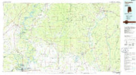
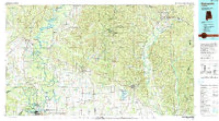
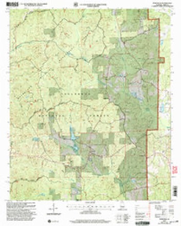
11 topographic sheets cover this place, the earliest surveyed in 1953 and the latest in 2002. It stands in the Centreville-Brent census division. It lies in ZIP code area 35034. It stands on Yeager Branch. The Survey maps it on the Pondville quadrangle.
Topographic sheets covering this place
7 surveys from 11 printed sheetsMatched by testing this settlement's coordinate against the published boundary of every sheet in the United States Geological Survey's historical collection. Each opens the scanned sheet at the Survey.
- 1953 USGS Montgomery quadrangle1:250000, 4 printings
- 1956 USGS Montgomery quadrangle1:250000
- 1957 USGS Montgomery quadrangle1:250000
- 1979 USGS Pondville quadrangle1:24000, 2 printings
- 1986 USGS Demopolis quadrangle1:100000
- 1990 USGS Demopolis quadrangle1:100000
- 2002 USGS Pondville quadrangle1:24000
Fires near this place
87 since 1993Regional context, not property-specific evidence. The federal wildfire occurrence database lists 87 fires within 5 miles of Pondville between 1993 and 2020, burning about 4,041 acres in total. 13 started naturally. 31 were recorded as arson. Distance is straight-line from the map coordinates, so a fire counted here may appear on a neighbouring settlement's page as well.
| Reported cause | Fires |
|---|---|
| Arson/incendiarism | 31 |
| Debris and open burning | 17 |
| Natural | 13 |
| Missing data/not specified/undetermined | 12 |
| Recreation and ceremony | 5 |
| Power generation/transmission/distribution | 4 |
| Equipment and vehicle use | 3 |
| Smoking | 1 |
| Misuse of fire by a minor | 1 |
The most recent of them, most recent first, with the day each was reported and the service that recorded it.
| Date | Cause | Size | Reported by | Name on the report |
|---|---|---|---|---|
| 9 September 2002 | Missing data/not specified/undetermined | 14 acres | National Forests in Alabama | YEAGER |
| 5 September 1999 | Natural | 1.0 acres | National Forests in Alabama | PENSON BALLARD |
| 25 September 2008 | Arson/incendiarism | under an acre | Alabama Forestry Commission | RABBIT ROAD-BRENT, AL |
| 22 September 2020 | Missing data/not specified/undetermined | 148 acres | National Forests in Alabama | OK COMPARTMENT 49 |
| 16 September 1999 | Debris and open burning | under an acre | Alabama Forestry Commission | not named |
| 13 September 1997 | Natural | 10 acres | National Forests in Alabama | LIGHTNING #1 |
| 12 September 2015 | Natural | 4.5 acres | Alabama Forestry Commission | NWR-20150912-001 |
| 25 August 2002 | Natural | 5.0 acres | National Forests in Alabama | C-65 |
Settlements close enough to share some of these fires:
Storms near this place
7 since 1994Regional context, not property-specific evidence. The National Weather Service names Pondville in 7 storm reports between 1994 and 2022: 3 thunderstorm wind, 2 hail, 2 tornado. The reports record 5 injuries. Each account below is quoted exactly as the forecast office filed it, from the NOAA Storm Events Database, and each date opens the federal record of that event.
| When | Event | Place named | Harm | What the report says |
|---|---|---|---|---|
| March 2021 | Tornado (EF3) | Pondville | 5 hurt | National Weather Service meteorologists surveyed damage in southern Bibb County and determined that it was consistent with an EF3 tornado, with maximum winds near 150 mph.||A strong, long-track tornado traveled across Hale, Perry, Bibb, Chilton, and Shelby Counties during the afternoon of March 25, 2021. It is estimated that the tornado had a 98 minute life span, with a path length of 80 miles. The tornado crossed into Bibb County from Perry County just south of County Road 44. There were three primary areas of concentrated structural damage in Bibb County. Along Belcher Road, anchoring to a metal building used for farm equipment failed, sending the structure crashing into an adjacent house. Across the field, a site built home had sections of roof removed and its open face garage blown away, with an adjacent farm building collapsed. In Centreville city limits, snapped trees were prevalent near the Cahaba River. Along Montgomery Road east of town, heavy damage occurred where trees were debarked. Mobile homes were crushed by fallen trees and site built homes had roof damage. In the town of Ashby, along Buzzard Road, several mobile homes were destroyed. Anchoring was not apparent, though at least one of the mobile homes was thrown a fair distance. Site built homes on the same street suffered light to heavy roof damage but were still standing. The tornado crossed into northwest Chilton County just south of County Road 108. There were five minor injuries in Bibb County. |
| April 2003 | Hail | Pondville | $250,000 | The supercell entered Bibb County and continued strengthening. A swath of large hail fell along the entire path. Several locations reported hail covering the ground up to a foot deep. The largest hail was reported from south of Brent to the Randolph and Lawley areas where the hail ranged from ping pong ball to softball size. Many automobiles and homes were damaged. Funnel clouds were reported with the storm and many individuals reported that a roaring sound accompanied the storm. |
| March 1994 | Thunderstorm Wind | Pondville | $50,000 | A mobile home in the Brent area was destroyed by thunderstorm wind. Two barns in the Ridgeville community, about two miles southwest of Brent, had roof damage and a number of trees were blown down in the area. |
| March 1995 | Thunderstorm Wind | Pondville | $20,000 | A house roof was damaged at Pondville by strong thunderstorm winds. |
| June 2022 | Thunderstorm Wind | Pondville | - | Several trees uprooted along Highway 25 in Pondville. |
| August 2017 | Tornado (EF1) | Pondville | - | NWS meteorologists surveyed damage in western Bibb County and determined that the damage was consistent with an EF1 tornado. The tornado spun up along Road 700 north of Highway 25 in the Oakmulgee District of the Talladega National Forest, just west of Lake Ponderosa, where a couple tree branches were broken. It continued northeast through forested land and strengthened as it approached County Highway 16. There, an anchored barn and shed both collapsed, and an unanchored mobile home was rolled over, while numerous softwood trees were snapped. After crossing County 16, it damaged the tin roof of an abandoned structure, and continued to snap numerous trees as it began to parallel County Road 16 and cross Highway 1. The roof was damaged on a small shed along Sugar Hill Lane with continued tree damage. The tornado dissipated after crossing Ward School Road, prior to reaching Highway 82 and Eoline. The tornado was captured in a couple videos. The parent supercell went on to exhibit a couple additional tight velocity couplets and a lowering in correlation coefficient as it continued through Bibb County near West Blocton and Woodstock. However, survey teams could not find any additional damage on any accessible roads, and no additional damage was reported. |
| November 2001 | Hail | Pondville | - | Quarter to golf ball size hail was observed near Pondville in the Talladega National Forest. The hail fell in a rural area with no damage reported. |
Nearest settlements
The eight closest, with where each one stands in the county. Distances are straight-line, computed from the Geographic Names Information System coordinates.
| Map | Place | Distance | Sheets |
|---|---|---|---|
| Mertz | 3.4 miles | 11 | |
| Spencer | 4.4 miles | 11 | |
| Data (historical) | 4.5 miles | 11 | |
| Duff Settlement | 4.8 miles | 11 | |
| Harrisburg | 5.0 miles | 11 | |
| Nichols (historical) | 5.3 miles | 11 | |
| Goodson | 6.5 miles | 11 | |
| Ingate | 6.7 miles | 11 |
Provenance
This settlement is recorded in the Geographic Names Information System as feature 160427. The sheet list is computed by point-in-boundary test against the United States Geological Survey's historical topographic inventory. Both are works of the United States government and carry no copyright under 17 U.S.C. 105.
Wildfire. Short, Karen C. 2022. Spatial wildfire occurrence data for the United States, 1992-2020 [FPA_FOD_20221014]. 6th Edition. Fort Collins, CO: Forest Service Research Data Archive. https://doi.org/10.2737/RDS-2013-0009.6 Collected with United States Government funding and usable without additional permissions or fees.
Storms. NOAA National Centers for Environmental Information, Storm Events Database https://www.ncei.noaa.gov/stormevents/ A work of the United States government, no copyright under 17 U.S.C. 105. Narratives are quoted verbatim from the National Weather Service report and are not edited or summarised.