 Block
From the record
6 National Register listings published here.
Sources: the National Register database, National Park Service
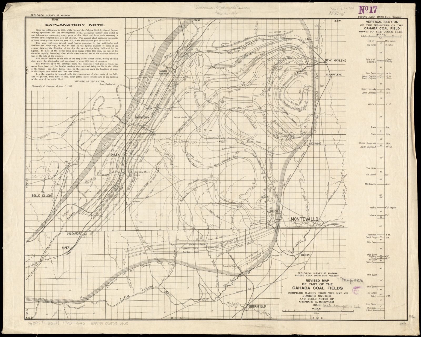
90 topographic sheets and 2 fire insurance atlases across 1 place.
6 National Register listings published here.
Sources: the National Register database, National Park Service
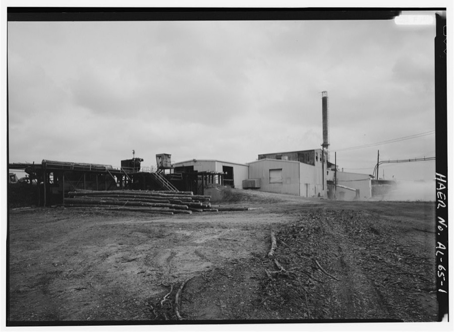
Taken for the Office of War Information and the Farm Security Administration, who photographed the country between 1935 and 1944. Works of United States government photographers, with no known restriction on use. Each opens its catalogue record.
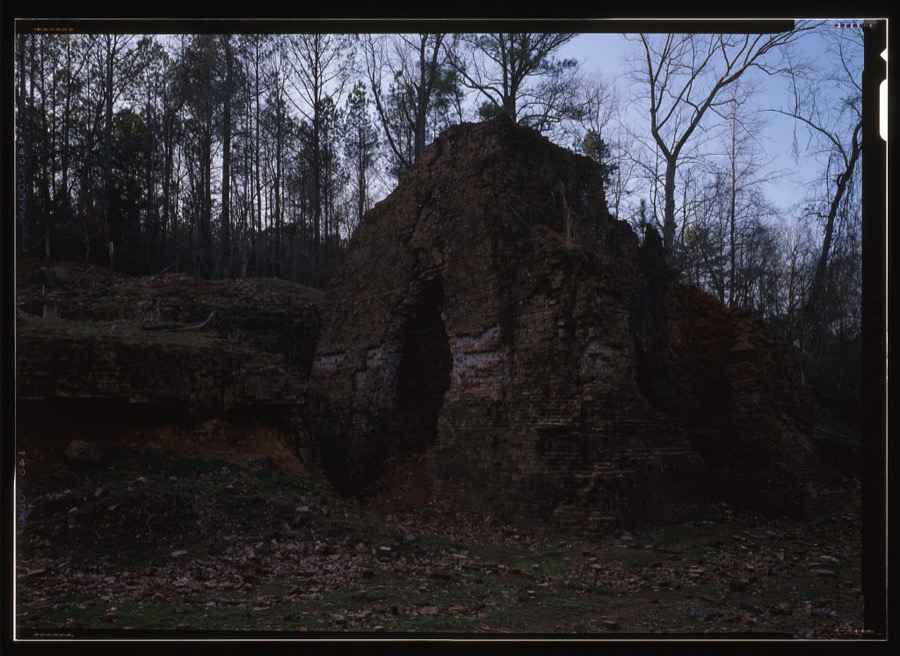
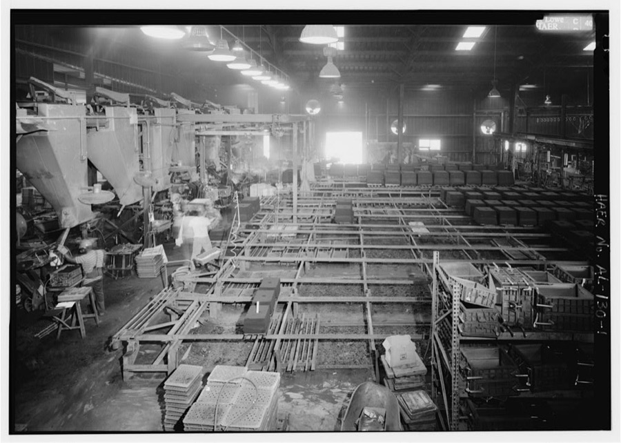
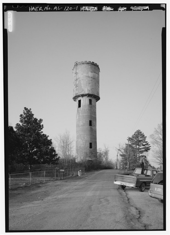
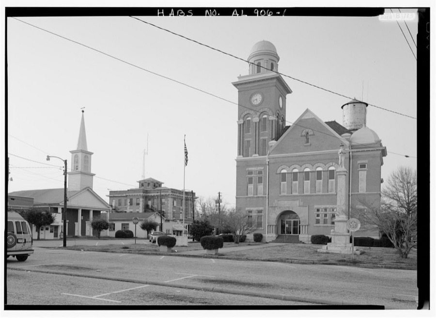
Every property in this county listed on the National Register of Historic Places, with the year it was listed and the federal nomination document.
| Photograph | Property | Type | Listed | Reference |
|---|---|---|---|---|
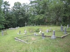 | Blocton Italian Catholic Cemetery | site | 1999 | 99000464 |
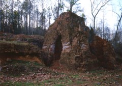 | Brierfield Furnace | district | 1974 | 74000401 |
 | Centreville Historic District | district | 1978 | 78000482 |
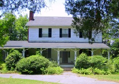 | Davidson-Smitherman House | building | 1988 | 87001552 |
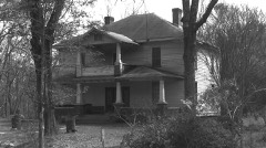 | Sarah Amanda Trott McKinney House | district | 1992 | 92000626 |
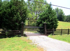 | Montebrier | building | 1973 | 73000331 |
Selected from the Digital Public Library of America's 1 image records catalogued for this county. Every one shown here carries a public-domain status or a licence that permits reuse on a site that carries advertising; non-commercial, share-alike and restricted images are excluded. The selection is spread across the county's towns (at most eight per town), so no single institution's bulk upload crowds out the rest. Each opens the holding library's record, and the complete set at the Digital Public Library of America is one click away.
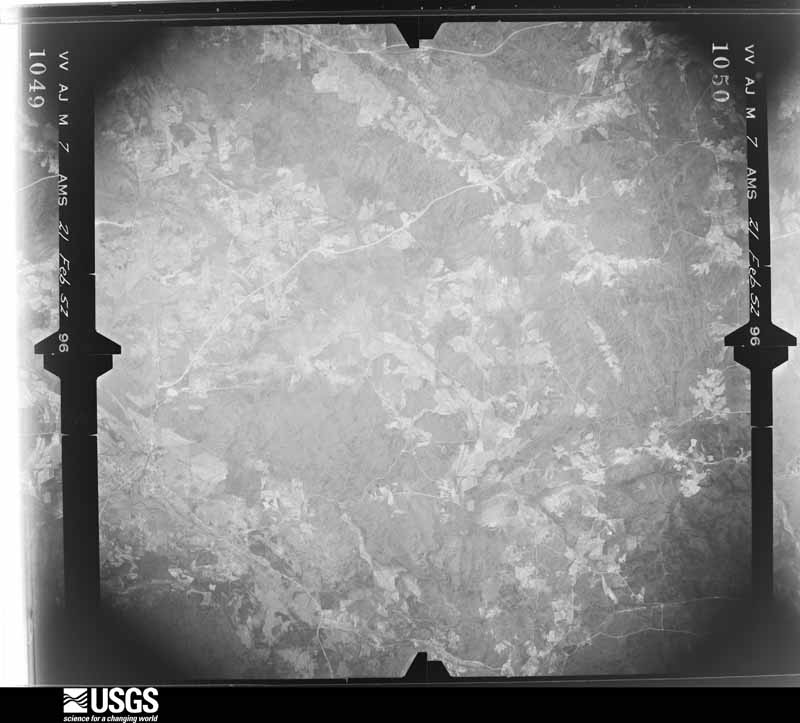
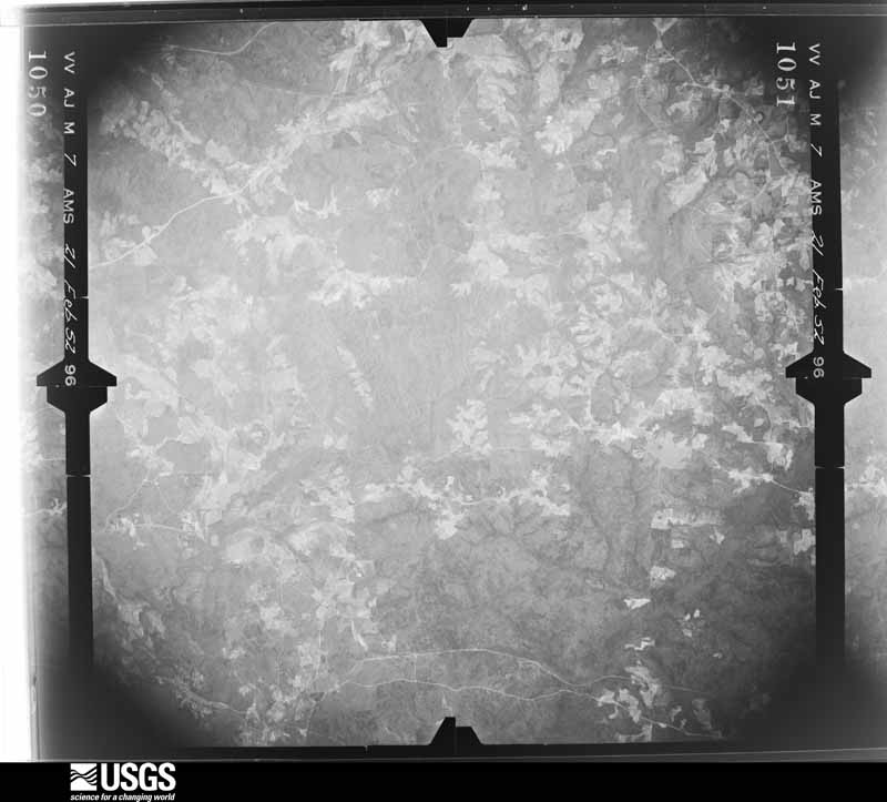
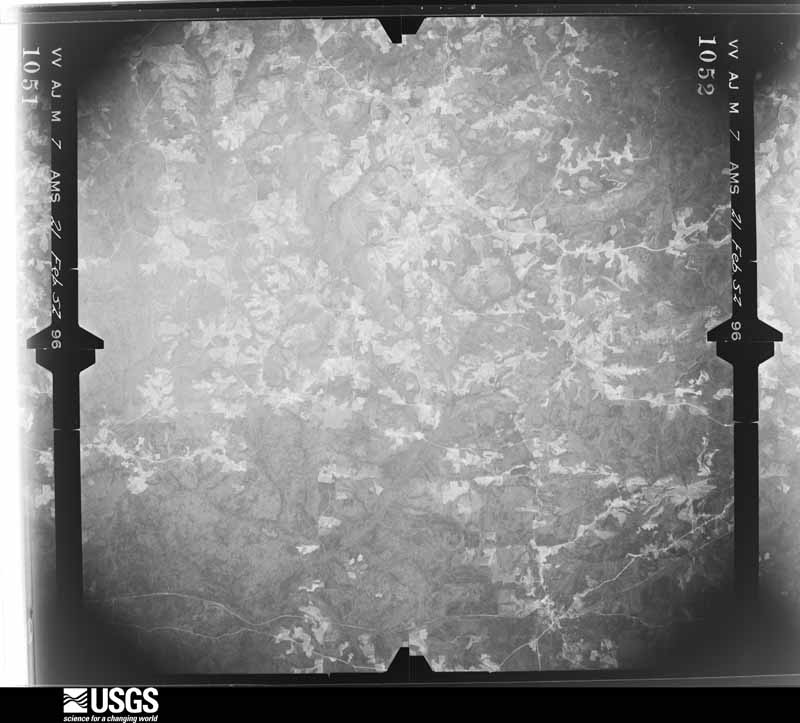
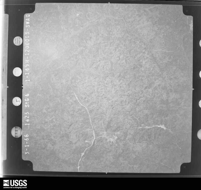
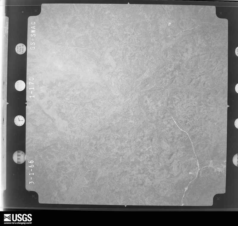
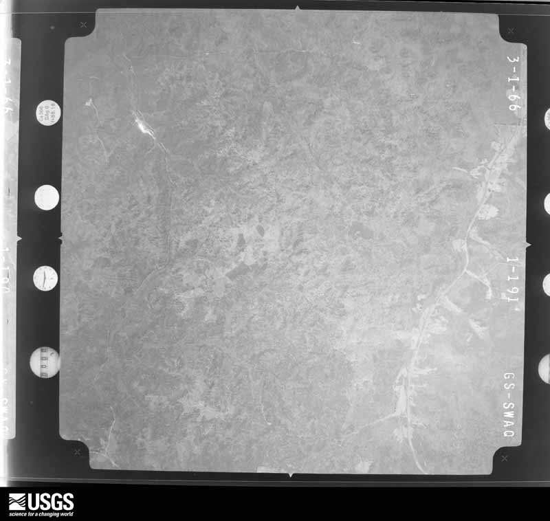
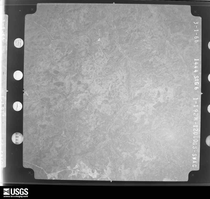
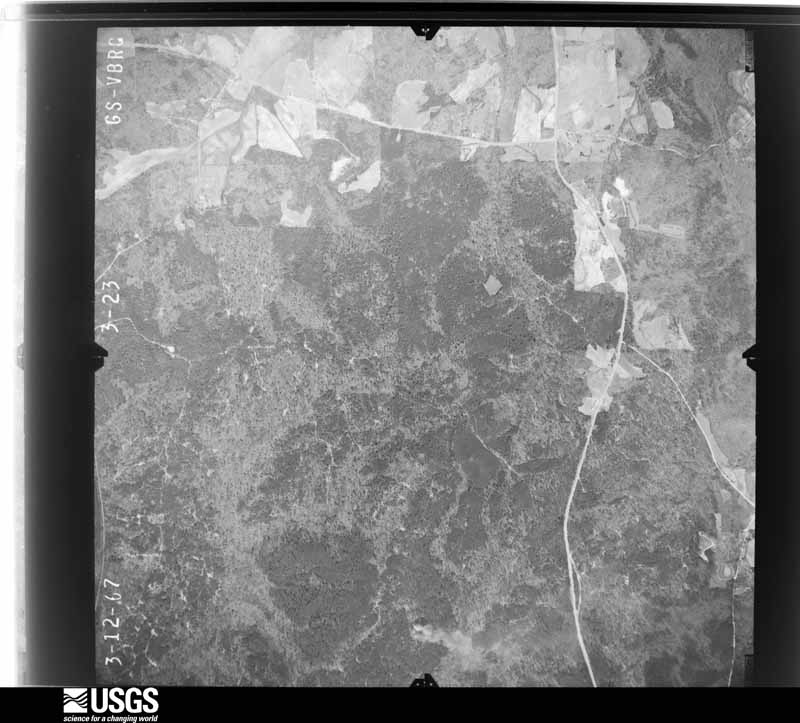
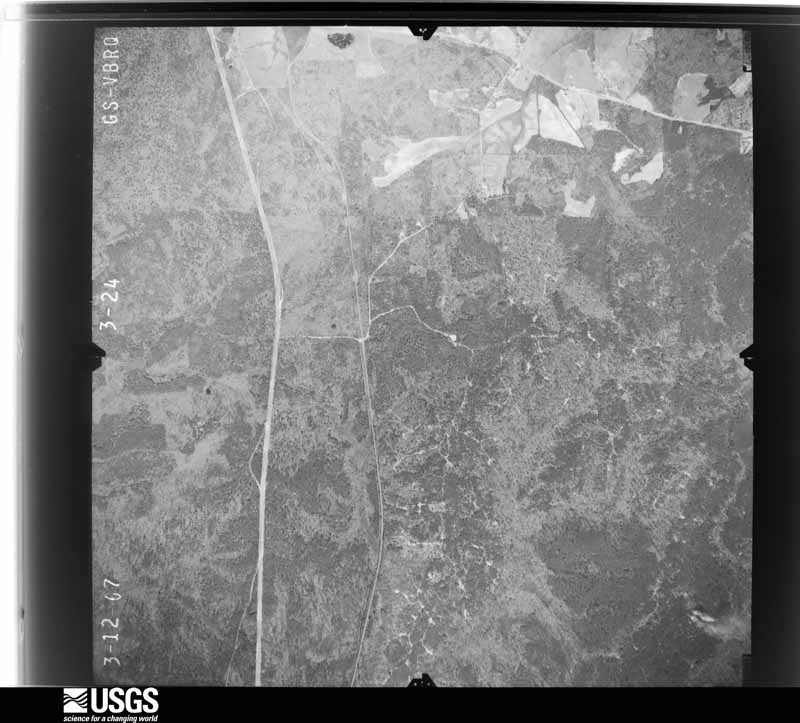
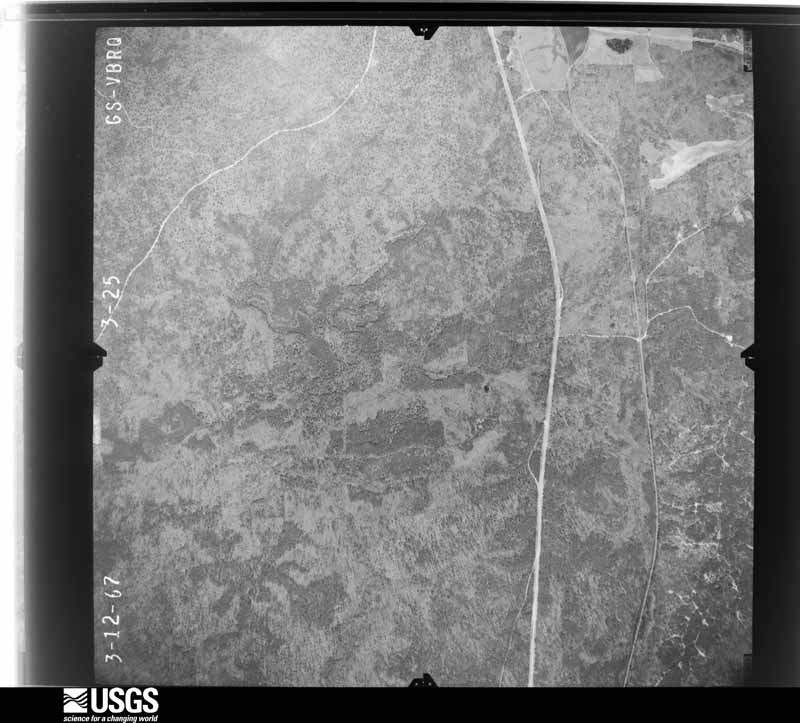
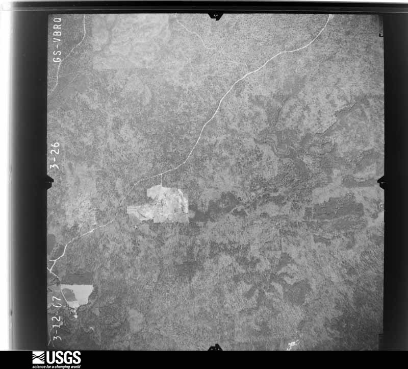
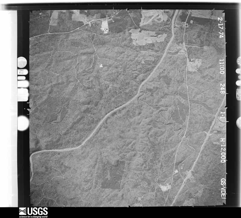
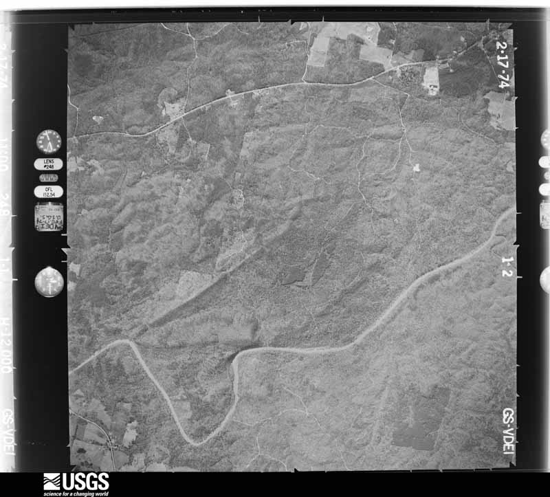
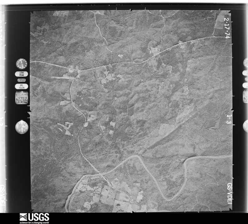
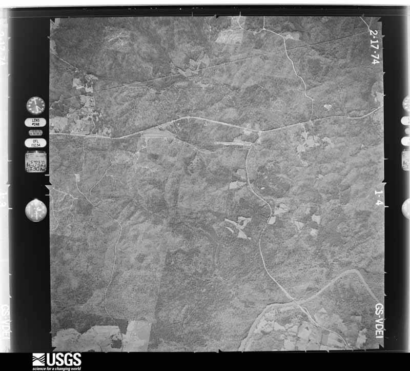
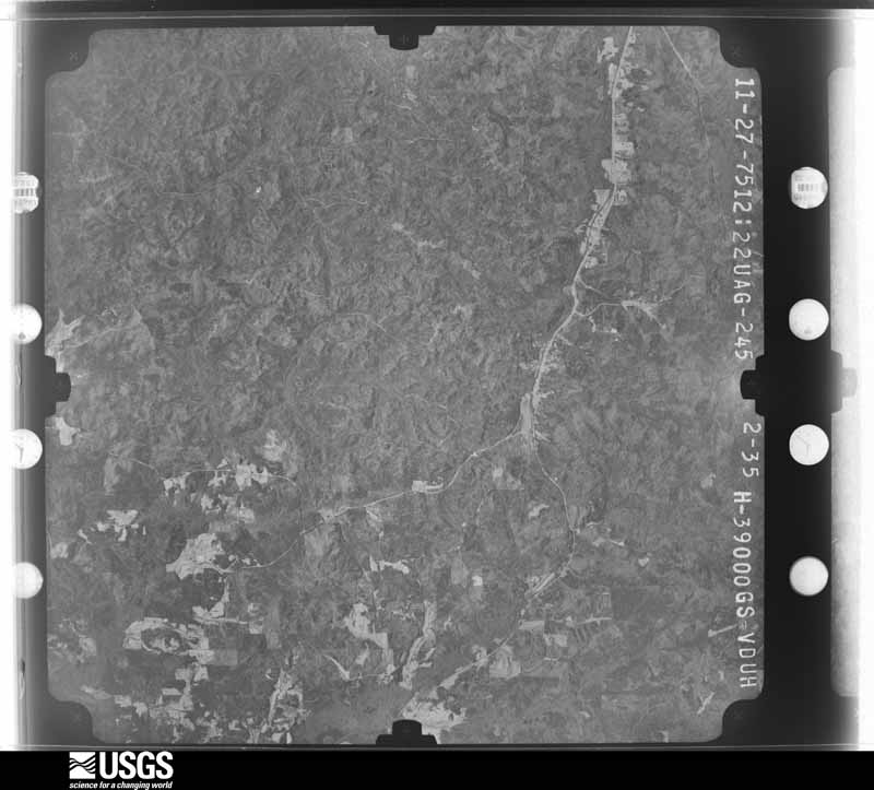
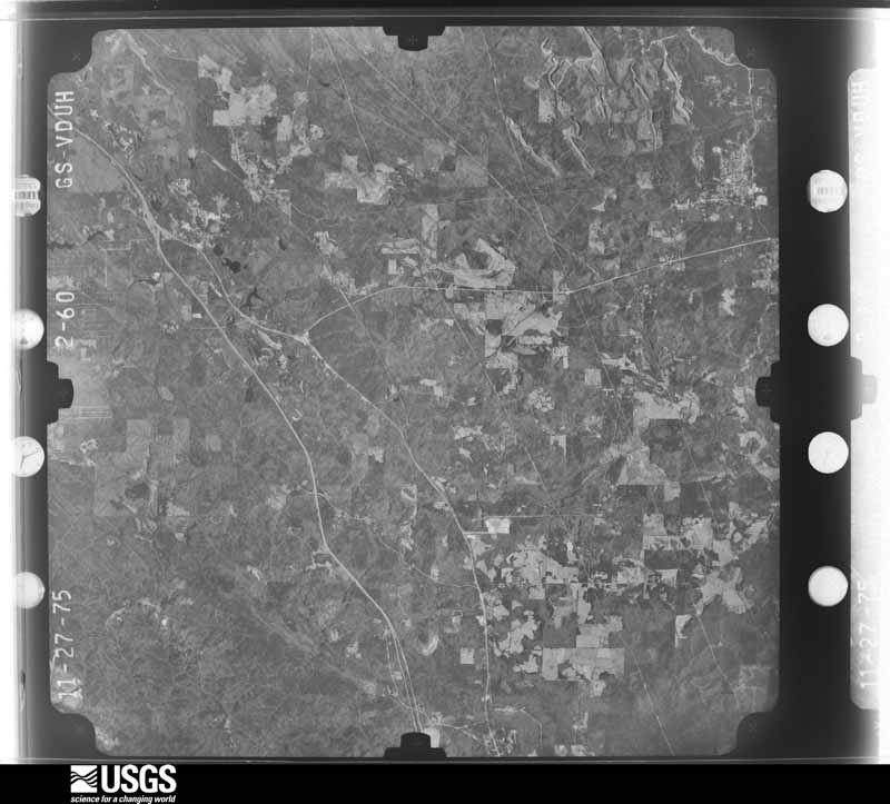
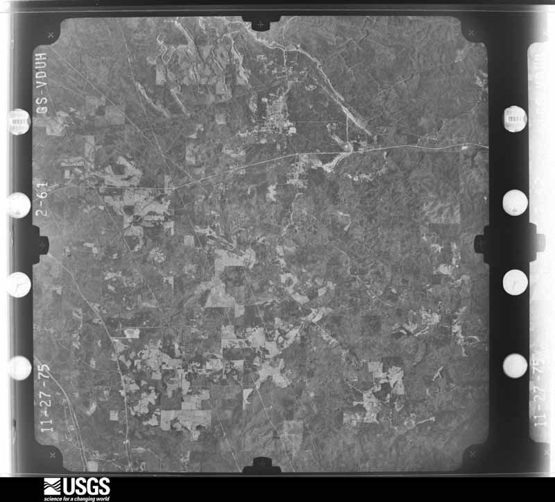
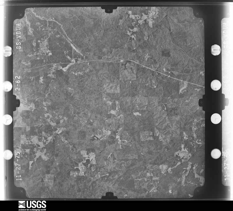
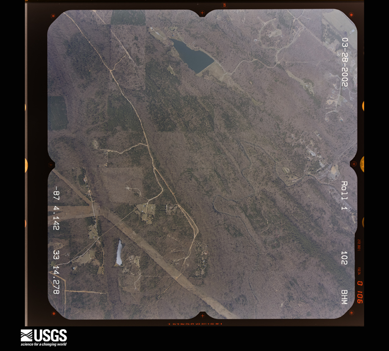
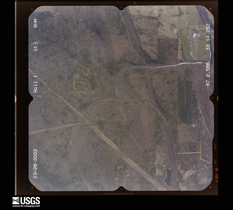
Flown by the U.S. Geological Survey between 1937 and 1989, the Aerial Photo Single Frames collection is the definitive mid-century view of the land: fields, roads and rivers as the camera saw them. The Survey holds 897 frames inside the rectangle that bounds this county; the 22 frames below were taken over the county itself, chosen across the decades of flights (at most four a year from that rectangle), so one flight cannot crowd out the rest. The full set is free to browse and download at EarthExplorer under the dataset Aerial Photo Single Frames.

The thermometers that kept this county's weather, and the gages that measured the flow of its streams, as the federal records hold them. The extremes below are measured values from those records, not estimates.
Who lived here in 1950, one enumeration district at a time, as the Census Bureau described each district. Each row opens its official National Archives result, with Population Schedules and ED Maps available there.
Every wildfire the federal occurrence database records inside this county: 1,144 of them, burning about 17,212 acres. 40 started naturally and 424 were recorded as arson. Each settlement page carries the fires within five miles of it.
| Reported cause | Fires |
|---|---|
| Arson/incendiarism | 424 |
| Debris and open burning | 342 |
| Missing data/not specified/undetermined | 127 |
| Recreation and ceremony | 89 |
| Equipment and vehicle use | 45 |
| Natural | 40 |
| Smoking | 38 |
| Misuse of fire by a minor | 22 |
| Power generation/transmission/distribution | 8 |
| Railroad operations and maintenance | 7 |
| Fireworks | 1 |
| Other causes | 1 |
The five largest, by the area the report gives. Three of them were set deliberately.
| Date | Cause | Size | Reported by | Name on the report |
|---|---|---|---|---|
| 20 March 2019 | Missing data/not specified/undetermined | 1,925 acres | National Forests in Alabama | OK 742 |
| 4 February 1993 | Arson/incendiarism | 525 acres | National Forests in Alabama | CAVE MOUNTAIN |
| 5 August 2006 | Natural | 425 acres | National Forests in Alabama | HOT FRIDAY |
| 18 September 2019 | Missing data/not specified/undetermined | 413 acres | National Forests in Alabama | OK 745 |
| 23 August 2017 | Natural | 403 acres | National Forests in Alabama | DEER PEN |
| 3 March 1996 | Debris and open burning | 401 acres | Alabama Forestry Commission | not named |
| 30 May 2011 | Arson/incendiarism | 400 acres | National Forests in Alabama | GONE FISHING |
| 24 October 2019 | Arson/incendiarism | 276 acres | National Forests in Alabama | 103 |
Every settlement page carries the fires within five miles of it - see the settlement index below.
The NOAA Storm Events Database holds 276 reports for this county, causing 6 deaths, 74 injuries and about $42,117,200 in recorded property damage. Each settlement page carries the reports that name it.
| Kind of event | Reports |
|---|---|
| Thunderstorm Wind | 147 |
| Hail | 72 |
| Tornado | 39 |
| Flash Flood | 14 |
| Funnel Cloud | 1 |
| Heavy Rain | 1 |
| Flood | 1 |
| Lightning | 1 |
The most serious of them, by death, then injury, then recorded damage. The accounts are quoted exactly as the forecast office filed them.
| When | Event | Place named | Harm | What the report says |
|---|---|---|---|---|
| May 1973 | Tornado (F4) | not stated | 5 killed, 47 hurt, $25,000,000 | no account filed |
| April 2011 | Tornado (EF3) | Mertz | 1 killed, 10 hurt, $14,000,000 | A tornado touched down in southwestern Greene County near Tishabee, and moved northeast through central Hale and Bibb Counties, before it lifted near Marvel in far northeast Bibb County. The tornado moved into the Talladega National Forest near Ingram and crossed into Bibb County north of Mertz. The tornado tracked northeastward where it caused significant tree damage in the national forest. The tornado moved through Eoline and caused significant structural damage consistent with an EF3 rating and winds of 145 mph. Numerous mobile homes and single family homes sustained minor to major damage. A dozen mobile homes and single family homes were destroyed. In addition, the Eoline Fire Dept and another business were destroyed. One fatality occurred in a vehicle near the fire dept. At least 10 other injuries were noted. The tornado continued northeast and crossed AL Hwy 5, south of West Blocton where it weakened slightly to an EF2 with winds of 125 mph. Several mobile homes and single family homes sustained major damage or were destroyed near CR 26. Along the path, thousands of trees were downed. The tornado continued to weaken and lifted just northeast of Marvel. |
| March 2021 | Tornado (EF3) | Pondville | 5 hurt | National Weather Service meteorologists surveyed damage in southern Bibb County and determined that it was consistent with an EF3 tornado, with maximum winds near 150 mph.||A strong, long-track tornado traveled across Hale, Perry, Bibb, Chilton, and Shelby Counties during the afternoon of March 25, 2021. It is estimated that the tornado had a 98 minute life span, with a path length of 80 miles. The tornado crossed into Bibb County from Perry County just south of County Road 44. There were three primary areas of concentrated structural damage in Bibb County. Along Belcher Road, anchoring to a metal building used for farm equipment failed, sending the structure crashing into an adjacent house. Across the field, a site built home had sections of roof removed and its open face garage blown away, with an adjacent farm building collapsed. In Centreville city limits, snapped trees were prevalent near the Cahaba River. Along Montgomery Road east of town, heavy damage occurred where trees were debarked. Mobile homes were crushed by fallen trees and site built homes had roof damage. In the town of Ashby, along Buzzard Road, several mobile homes were destroyed. Anchoring was not apparent, though at least one of the mobile homes was thrown a fair distance. Site built homes on the same street suffered light to heavy roof damage but were still standing. The tornado crossed into northwest Chilton County just south of County Road 108. There were five minor injuries in Bibb County. |
| March 1963 | Tornado (F3) | not stated | 4 hurt | no account filed |
| February 1990 | Thunderstorm Wind | not stated | 3 hurt | no account filed |
| March 1994 | Thunderstorm Wind | Brent | 2 hurt, $500,000 | A mobile home in the Brent area was destroyed by thunderstorm wind. Two barns in the Ridgeville community, about two miles southwest of Brent, had roof damage and a number of trees were blown down in the area. |
| March 2022 | Tornado (EF3) | Active | 1 hurt | National Weather Service meteorologists surveyed damage in eastern Bibb County and determined that it was consistent with an EF3 tornado, with maximum winds near 145 mph. This tornado originated in Perry County and crossed into southern Bibb County about one mile west of Beaverdam Creek. The most widespread tree damage occurred near the Perry/Bibb county line in the Oakmulgee National Forest. The tornado continued northeast and crossed Highway 82 near the northeast corner of the National Forest. Trees were uprooted and snapped in this area. The tornado tracked across northeast Bibb County, causing additional timber damage as it approached the Brierfield community. It crossed into Shelby County near Moreland Road. |
| July 2017 | Lightning | Centerville | 1 hurt | Person struck by lightning near the city of Centreville. |
| April 2011 | Thunderstorm Wind | Ashby | 1 hurt | A tree fell on a Brierfield fire truck along Highway 25. One fireman sustained minor injuries. Extent of damage to the fire truck is unknown. |
| April 2011 | Tornado (EF1) | Mertz | $275,000 | A tornado initially touched down in eastern Hale County, near the community of Hogglesville and tracked northeast into the Talladega National Forest and western Bibb County. The tornado tracked parallel to CR 25, where it caused significant tree damage in the national forest. Damage was consistent with winds of 110 mph and an EF1 rating. The tornado lifted just east of Mertz. |
| April 2003 | Hail | Pondville | $250,000 | The supercell entered Bibb County and continued strengthening. A swath of large hail fell along the entire path. Several locations reported hail covering the ground up to a foot deep. The largest hail was reported from south of Brent to the Randolph and Lawley areas where the hail ranged from ping pong ball to softball size. Many automobiles and homes were damaged. Funnel clouds were reported with the storm and many individuals reported that a roaring sound accompanied the storm. |
| January 1988 | Tornado (F1) | not stated | $250,000 | no account filed |
| April 1984 | Tornado (F2) | not stated | $250,000 | no account filed |
| August 1983 | Tornado (F1) | not stated | $250,000 | no account filed |
| September 2009 | Flash Flood | Brent | $100,000 | Several businesses and other buildings along Main Street in the city of Brent sustained significant water damage after a storm drain failed to keep up with flooding rains. The buildings included a building supply company, a services building for the elderly, and a church. |
| April 2011 | Tornado (EF1) | Mertz | $88,750 | A tornado touched down in Bibb County, along State Highway 25. The tornado has been rated an EF-1, with maximum winds at 105 mph. As the tornado moved northeast, it crossed Highway 5 south of West Blocton where several homes sustained moderate roof damage. Along the path, hundreds of trees were either snapped or uprooted. The tornado lifted along County Road 24, 3 miles east of West Blocton. |
| September 2009 | Flash Flood | Fairdale | $75,000 | More the two dozen people in and around the city of Brent had to be rescued from homes and trailers in the middle of the night, after storm drains became overwhelmed by heavy rain. A section of Deer Creek Road, near Centreville, became washed out due to the rushing waters, and at least two vehicles subsequently drove into the newly formed ditch. |
| May 2003 | Thunderstorm Wind | Brent | $75,000 | Numerous trees were blown down in and around Brent. Three mobile homes were severely damaged by falling trees. One of these mobile homes was destroyed. One tree landed on a business. No injuries were reported. |
| May 2004 | Thunderstorm Wind | Brierfield | $70,000 | Numerous trees were blown down or uprooted in the Brierfield Ironworks Historical State Park. The Lindsey Cabin, which dates back to the 1800's, was damaged by fallen trees. A few others structures at the park also sustained damage due to fallen trees. No campers were injured on this holiday weekend. |
| March 1994 | Thunderstorm Wind | Pondville | $50,000 | A mobile home in the Brent area was destroyed by thunderstorm wind. Two barns in the Ridgeville community, about two miles southwest of Brent, had roof damage and a number of trees were blown down in the area. |
| June 1994 | Thunderstorm Wind | Centreville | $50,000 | Quarter-size hail was reported at Brent. The roof was blown off a barn near the intersection of County Road 1 and U.S. 82. |
| June 1994 | Thunderstorm Wind | not stated | $50,000 | Trees were downed in a quarter mile area at the Stephens' Farm with two vehicles crushed beneath falling trees. |
| February 1999 | Thunderstorm Wind | Brent | $45,000 | Damaging wind with a thunderstorm downed a number of trees and powerlines on SR 5 in an area about 6 miles southwest of Brent. A couple of mobile homes were damaged and one house sustained roof damage when a tree fell on it. |
| May 1998 | Hail | Randolph | $45,000 | Baseball size hail was reported in Randolph by the police department. |
| May 2001 | Thunderstorm Wind | Countywide | $40,000 | Several trees and power lines were knocked down in the southern part of the county. Additionally, several buildings and homes in southern Bibb County sustained damage. One business had its roof blown off and it landed on a few homes adjacent to it. Two out buildings were destroyed and one home lost its roof in Brent. |
| May 1998 | Hail | Brent | $40,000 | no account filed |
| January 1998 | Flash Flood | Countywide | $30,000 | no account filed |
| June 1998 | Thunderstorm Wind | Countywide | $25,000 | Trees and power lines were down across the county. |
| March 2000 | Tornado (F0) | Lawley | $25,000 | no account filed |
| December 1983 | Tornado (F1) | not stated | $25,000 | no account filed |
| December 1983 | Tornado (F1) | not stated | $25,000 | no account filed |
| April 2010 | Thunderstorm Wind | River Bend | $20,000 | Winds estimated around 80 mph uprooted 5 hardwood trees, damaged the roof of a house, and damaged a travel trailer. All this occurred on CR-9, southwest of West Blocton. |
| June 2007 | Thunderstorm Wind | Bibb Co Arpt | $20,000 | Near the Bibb County Airport, off US 82, at least 12 pine trees were snapped off, and one roof was damaged on a mobile home. |
| March 1995 | Thunderstorm Wind | Pondville | $20,000 | A house roof was damaged at Pondville by strong thunderstorm winds. |
| March 1996 | Flash Flood | Countywide | $20,000 | no account filed |
| April 2011 | Thunderstorm Wind | Brierfield | $15,000 | Widespread trees and power lines were blown down across the county, including near Brierfield. |
| December 2011 | Tornado (EF0) | Lawley | $15,000 | National Weather Service meteorologists surveyed damage in Bibb County and assessed damage that was consistent with a tornado. An EF-0 tornado with winds of 70 to 80 mph briefly touched down between Lawley and Randolph in southeast Bibb County. Damage along the beginning of the path was only 50 yards wide. This was along Hwy 82, where only large limbs were broken. The tornado then lifted just east of County Road 36. Here, the damage was 150 yards wide with numerous trees uprooted and snapped. |
| August 1998 | Thunderstorm Wind | Centreville | $15,000 | A few large trees were down in the Centerville area and a grocery store in Brent had its roof damaged. |
| May 1998 | Thunderstorm Wind | West Blocton | $15,000 | Trees were downed falling on a house and a church in West Blocton. |
| October 2007 | Tornado (EF1) | Harrisburg | $12,000 | The tornado touched down about southwest of the Harrisburg Community, west of Alabama Route 5. It then tracked north northeast for over 7 miles, roughly parallel to Route 5, and lifted after crossing Bear Creek Road, west of Brent. The tornado damage was very minimal for a majority of the path, and was limited to a few snapped trees. The damage increased along Bear Creek Road, about 2 miles west of Brent, where at least 3 homes suffered minor damage and several outbuildings were destroyed. Numerous soft and hardwood trees were snapped off in this area. |
| June 2004 | Thunderstorm Wind | Countywide | $12,000 | Numerous trees were blown down across the entire county. |
| April 1997 | Thunderstorm Wind | West Blocton | $12,000 | Numerous trees were down including one that fell onto a house. There was damage to several roofs in West Blocton. |
| September 1998 | Flash Flood | North Portion | $12,000 | no account filed |
| February 1996 | Flash Flood | Countywide | $12,000 | no account filed |
| April 2011 | Thunderstorm Wind | Centerville | $10,000 | Numerous trees were blown down in and around Centreville. |
| April 2011 | Thunderstorm Wind | Fairdale | $10,000 | Wind gust of 96 knots, measured by equipment 70 ft high, caused damage to the tower. In addition, multiple trees were blown down. |
| May 2009 | Thunderstorm Wind | Lawley | $10,000 | Numerous trees were blown down across the southern portion of Bibb County, and many roadways were blocked as a result. |
| February 2007 | Tornado (EF0) | Six Mile | $10,000 | The tornado touched down just west of County Road 26, north of State Highway 25, and continued across the Six Mile Community, before eventually lifting just west of Ashby. This tornado did not cause widespread damage along the whole path, but there was evidence of sporadic building and tree damage along the entire path. |
| April 2007 | Tornado (EF1) | Randolph | $10,000 | The tornado touched near the intersection of CR 36 and New Hope Village, just east of Randolph. The tornado then tracked east southeast for about a mile, before crossing into Chilton County. Several trees were either blown down or snapped off along the short path. One home was damaged by a fallen tree and one home suffered minor shingle damage. |
| June 2006 | Thunderstorm Wind | Lawley | $10,000 | Trees were blown down near Lawley Post Office. A tree was blown down on a house on Oakley Station Road. |
| February 2001 | Thunderstorm Wind | Countywide | $10,000 | Bibb County reported numerous trees blown down. |
| August 2000 | Thunderstorm Wind | Woodstock | $10,000 | Several trees were knocked down and one restaurant received minor roof damage in Woodstock. |
| May 1998 | Hail | Brent | $10,000 | Golf ball size hail was reported in Brent. |
| July 1998 | Thunderstorm Wind | Centreville | $10,000 | A roof was damaged on a house on SR 25, northeast of Centreville. |
| June 1996 | Thunderstorm Wind | Lawley | $10,000 | no account filed |
| April 2011 | Tornado (EF1) | Garnsey | $9,000 | A tornado initially touched down in northeastern Bibb County and tracked northeast into western Shelby County. The tornado lifted near the community of Pea Ridge. The tornado touched down south of Marvel along CR 65 and moved northeast, where it caused tree damage consistent with an EF1 rating and winds of 105 mph. The tornado moved into Shelby County near CR 54. |
| July 1998 | Thunderstorm Wind | West Blocton | $8,000 | Trees were blown down and a few shingles were blown off. |
| September 1996 | Hail | Lawley | $8,000 | no account filed |
| April 1996 | Hail | Brierfield | $8,000 | no account filed |
| November 1996 | Thunderstorm Wind | Randolph | $7,000 | no account filed |
The Survey's mineral resources record lists 65 workings inside this county. 5 still produce and 60 are closed or unrecorded. Each settlement page carries the workings within five miles of it.
| Commodity | Workings |
|---|---|
| Iron | 39 |
| Barium-Barite | 15 |
| Manganese | 3 |
| Clay | 3 |
| Calcium | 2 |
| Fluorine-Fluorite | 2 |
| Sand and Gravel, Construction | 2 |
| Calcium, Fluorine-Fluorite | 1 |
| Iron, Manganese | 1 |
| Calcium, Fluorine-Fluorite, Zinc | 1 |
| Stone, Crushed/Broken | 1 |
| Kaolin | 1 |
The least common of them first, because a county's hundredth gravel pit says nothing its first ten did not.
| Where | Site | Commodity | Status | Recorded |
|---|---|---|---|---|
| Brierfield Quarry | Stone, Crushed/Broken | Producer | ||
| Forestry Service Pit | Kaolin | Producer | ||
| Hogan and Lewis Manganese Prospect | Iron, Manganese | Occurrence | ||
| The Sinks Mine | Barium-Barite, Calcium, Fluorine-Fluorite, Zinc | Prospect | 1875, 1914 | |
| Weaver Mine | Barium-Barite, Calcium, Fluorine-Fluorite | Prospect | Barite, Calcite, Fluorite | |
| Herron-Pratt Occurence | Barium-Barite, Calcium | Prospect | Barite, Calcite | |
| Julian Fanciar Mine | Barium-Barite, Calcium | Prospect | Barite, Calcite | |
| Sinks Prospect | Barium-Barite, Fluorine-Fluorite | Prospect | ||
| USGS MR-60 Alabama No.8 Prospect | Fluorine-Fluorite | Unknown | ||
| Woodstock Mine | Sand and Gravel, Construction | Past Producer | ||
| Woodstock Quarry | Sand and Gravel, Construction | Producer | ||
| Bib 2 Clay Prospect | Clay | Prospect | ||
| Coosa River Clay Pit | Clay | Producer | ||
| Hogan B Lewis Prospect No. 1 | Manganese | Occurrence | ||
| Hogan B Lewis Prospect No. 3 | Manganese | Occurrence | ||
| No Name | Iron, Manganese | Past Producer | Residual | |
| Pit No. 3 | Clay | Producer | ||
| B A Coates Prospect | Barium-Barite | Past Producer | ||
| H H Coates Prospect | Barium-Barite | Past Producer | ||
| J. Fancher Fanciar | Barium-Barite | Past Producer | Residual | |
| Julia Wallace Prosp | Barium-Barite | Occurrence | ||
| Julian Fancher Mine | Barium-Barite | Past Producer | ||
| Maguire Shoals Prospect | Barium-Barite | Occurrence | ||
| May Johnston Prospect | Barium-Barite | Past Producer | ||
| Sinks Mine | Barium-Barite | Past Producer | Residual | |
| Walton Pratt Prospect | Barium-Barite | Prospect | ||
| Weaver Mine B.A.Coates/M.Johnston | Barium-Barite | Past Producer | Residual | |
| Bibb County | Iron | Unknown | ||
| Bibb Furance Brierfield Pit/Brierfield Furance Pits | Iron | Past Producer | Residual | |
| Brierfield Furnace Pits | Iron | Past Producer | Goethite | |
| Brierfield Pit | Iron | Past Producer | Goethite | |
| Bright Hope | Iron | Past Producer | Residual | |
| Edwards | Iron | Unknown | ||
| Greenpond | Iron | Unknown | ||
| Hayes | Iron | Unknown | ||
| Hayes | Iron | Unknown | ||
| No Name | Iron | Past Producer | Hematite | |
| No Name | Iron | Past Producer | Residual | |
| Sloss | Iron | Unknown | ||
| Townsend | Iron | Unknown | ||
| Unnamed | Iron | Unknown | ||
| Unnamed | Iron | Unknown | ||
| Unnamed | Iron | Unknown | ||
| Unnamed | Iron | Unknown | ||
| Unnamed | Iron | Unknown | ||
| Unnamed | Iron | Unknown | ||
| Unnamed | Iron | Unknown | ||
| Unnamed | Iron | Unknown | ||
| Unnamed | Iron | Unknown | ||
| Unnamed Mine | Iron | Past Producer | ||
| Unnamed Mine | Iron | Past Producer | ||
| Unnamed Prospect | Iron | Occurrence | ||
| Unnamed Prospect | Iron | Occurrence | ||
| Unnamed Prospect | Iron | Occurrence | ||
| Unnamed Prospect | Iron | Occurrence | ||
| Unnamed Prospect | Iron | Occurrence | ||
| Unnamed Prospect | Iron | Occurrence | ||
| Unnamed Prospect | Iron | Occurrence | ||
| Unnamed Prospect | Iron | Occurrence | ||
| Unnamed Prospect | Iron | Occurrence | ||
| Unnamed Prospect | Iron | Occurrence | ||
| Unnamed Prospect | Iron | Occurrence | ||
| Unnamed Prospect | Iron | Occurrence | ||
| Unnamed Prospect | Iron | Occurrence | ||
| Woodstock | Iron | Unknown |
Named settlements recorded in the Geographic Names Information System, each with the topographic sheets covering it. Villages, hamlets and abandoned places alike. Each is shown with the nearest named watercourse or landform and the survey quadrangle it falls on. The 1 place that was also surveyed for fire insurance comes first, with the number of atlases and photographs held for them.
West Blocton census division · 35184 · On Hill Creek · West Blocton East quadrangle
20 sheets, 1899 to 1984
Fire insurance: 2 atlases
Centreville-Brent census division · 35042 · Harrisburg quadrangle
11 sheets, 1953 to 2002
Centreville-Brent census division · 36793 · Maplesville West quadrangle
16 sheets, 1891 to 2002
Centreville-Brent census division · 35042 · Near Soap Hill · Randolph quadrangle
16 sheets, 1891 to 2002
West Blocton census division · 35184 · On Little Ugly Creek · West Blocton East quadrangle
19 sheets, 1899 to 1984
No longer a settlement
West Blocton census division · 35184 · On Oldham Creek · West Blocton West quadrangle
18 sheets, 1899 to 1984
West Blocton census division · 35184 · On Bear Branch · West Blocton East quadrangle
19 sheets, 1899 to 1984
Centreville-Brent census division · 36792 · On Beaverdam Creek · Randolph quadrangle
16 sheets, 1891 to 2002
West Blocton census division · 35188 · On Johnson Creek · Woodstock quadrangle
19 sheets, 1899 to 1984
No longer a settlement
West Blocton census division · 35184 · On Hill Creek · West Blocton East quadrangle
19 sheets, 1899 to 1984
No longer a settlement
West Blocton census division · 35184 · West Blocton West quadrangle
18 sheets, 1899 to 1984
No longer a settlement
Centreville-Brent census division · 35034 · On Cooper Pasture Branch · Centreville West quadrangle
11 sheets, 1953 to 2002
West Blocton census division · 35184 · On Hill Creek · West Blocton East quadrangle
19 sheets, 1899 to 1984
No longer a settlement
West Blocton census division · 35184 · On Flat Creek · Woodstock quadrangle
19 sheets, 1899 to 1984
No longer a settlement
West Blocton census division · 35184 · On Big Ugly Creek · West Blocton East quadrangle
19 sheets, 1899 to 1984
No longer a settlement
Piper-Coleanor census division · 35115 · On Coal Branch · Halfmile Shoals quadrangle
20 sheets, 1899 to 1984
No longer a settlement
Centreville-Brent census division · 35042 · On Smith Creek · Centreville West quadrangle
11 sheets, 1953 to 2002
Centreville-Brent census division · 35042 · Centreville West quadrangle
11 sheets, 1953 to 2002
Piper-Coleanor census division · 35035 · On Big Ugly Creek · West Blocton East quadrangle
19 sheets, 1899 to 1984
West Blocton census division · 35184 · On Hill Creek · West Blocton East quadrangle
19 sheets, 1899 to 1984
No longer a settlement
Centreville-Brent census division · Pondville quadrangle
11 sheets, 1953 to 2002
No longer a settlement
Centreville-Brent census division · 35034 · On Bill Branch · Centreville West quadrangle
11 sheets, 1953 to 2002
Centreville-Brent census division · 35042 · On Smith Creek · Centreville West quadrangle
11 sheets, 1953 to 2002
Centreville-Brent census division · 35042 · On Smith Creek · Centreville West quadrangle
11 sheets, 1953 to 2002
Centreville-Brent census division · 35034 · Pearson quadrangle
20 sheets, 1899 to 2002
No longer a settlement
Centreville-Brent census division · 35042 · On Horse Branch · Centreville West quadrangle
11 sheets, 1953 to 2002
Centreville-Brent census division · 35042 · On Cooper Pasture Branch · Centreville West quadrangle
11 sheets, 1953 to 2002
West Blocton census division · 35184 · West Blocton West quadrangle
18 sheets, 1899 to 1984
No longer a settlement
West Blocton census division · 35184 · On Hill Creek · West Blocton East quadrangle
19 sheets, 1899 to 1984
Piper-Coleanor census division · 35035 · On Daley Creek · Halfmile Shoals quadrangle
20 sheets, 1899 to 1984
Piper-Coleanor census division · 35115 · Pea Ridge quadrangle
18 sheets, 1890 to 1984
Centreville-Brent census division · 35042 · Centreville East quadrangle
11 sheets, 1953 to 2002
Centreville-Brent census division · 35034 · On Goodson Bottoms · Centreville West quadrangle
11 sheets, 1953 to 2002
West Blocton census division · 35184 · On Camp Creek · Halfmile Shoals quadrangle
20 sheets, 1899 to 1984
West Blocton census division · 35184 · On Caffee Creek · West Blocton East quadrangle
19 sheets, 1899 to 1984
No longer a settlement
Centreville-Brent census division · 35042 · On Charley Branch · Pearson quadrangle
20 sheets, 1899 to 2002
Centreville-Brent census division · 35034 · Centreville West quadrangle
11 sheets, 1953 to 2002
Piper-Coleanor census division · 35035 · West Blocton East quadrangle
19 sheets, 1899 to 1984
No longer a settlement
West Blocton census division · 35184 · On Little Cane Creek · Halfmile Shoals quadrangle
20 sheets, 1899 to 1984
Centreville-Brent census division · 35042 · On Mooney Creek · Centreville West quadrangle
11 sheets, 1953 to 2002
West Blocton census division · 35184 · On Hill Creek · West Blocton East quadrangle
19 sheets, 1899 to 1984
Centreville-Brent census division · 35034 · Centreville West quadrangle
11 sheets, 1953 to 2002
West Blocton census division · 35184 · West Blocton West quadrangle
18 sheets, 1899 to 1984
Centreville-Brent census division · 36793 · On Little Mill Creek · Maplesville West quadrangle
16 sheets, 1891 to 2002
Centreville-Brent census division · 35034 · On Mill Branch · Pearson quadrangle
20 sheets, 1899 to 2002
West Blocton census division · 35184 · On Holland Branch · West Blocton West quadrangle
18 sheets, 1899 to 1984
Piper-Coleanor census division · 35115 · On Daley Creek · Halfmile Shoals quadrangle
20 sheets, 1899 to 1984
West Blocton census division · 35184 · On Bishop Creek · Halfmile Shoals quadrangle
20 sheets, 1899 to 1984
West Blocton census division · 35184 · Near Gray Hill · Halfmile Shoals quadrangle
20 sheets, 1899 to 1984
West Blocton census division · 35184 · On Oldham Creek · West Blocton West quadrangle
18 sheets, 1899 to 1984
West Blocton census division · 35184 · On Hill Creek · West Blocton West quadrangle
18 sheets, 1899 to 1984
West Blocton census division · 35184 · On Stone Quarry Branch · West Blocton West quadrangle
18 sheets, 1899 to 1984
West Blocton census division · 35184 · On Bear Branch · West Blocton East quadrangle
19 sheets, 1899 to 1984
No longer a settlement
West Blocton census division · 35184 · On Hill Creek · West Blocton East quadrangle
19 sheets, 1899 to 1984
No longer a settlement
Centreville-Brent census division · 35034 · Heiberger quadrangle
11 sheets, 1953 to 2002
No longer a settlement
Centreville-Brent census division · 35042 · On Schultz Creek · Centreville West quadrangle
11 sheets, 1953 to 2002
No longer a settlement
Piper-Coleanor census division · 35042 · On Cottingham Creek · West Blocton East quadrangle
19 sheets, 1899 to 1984
No longer a settlement
Piper-Coleanor census division · 35035 · On Little Ugly Creek · West Blocton East quadrangle
19 sheets, 1899 to 1984
Centreville-Brent census division · 35042 · Centreville West quadrangle
11 sheets, 1953 to 2002
Centreville-Brent census division · 35034 · On Yeager Branch · Pondville quadrangle
11 sheets, 1953 to 2002
West Blocton census division · 35184 · On Hill Creek · West Blocton West quadrangle
18 sheets, 1899 to 1984
West Blocton census division · 35184 · West Blocton West quadrangle
18 sheets, 1899 to 1984
West Blocton census division · 35184 · On Hill Creek · West Blocton West quadrangle
18 sheets, 1899 to 1984
West Blocton census division · 35184 · On Little Schultz Creek · West Blocton East quadrangle
19 sheets, 1899 to 1984
No longer a settlement
Centreville-Brent census division · 36792 · On Little Mill Creek · Maplesville West quadrangle
16 sheets, 1891 to 2002
West Blocton census division · 35184 · On Hill Creek · West Blocton West quadrangle
18 sheets, 1899 to 1984
Piper-Coleanor census division · 35035 · On Daley Creek · West Blocton East quadrangle
19 sheets, 1899 to 1984
Piper-Coleanor census division · 35042 · West Blocton East quadrangle
19 sheets, 1899 to 1984
West Blocton census division · 35184 · On Hill Creek · West Blocton East quadrangle
19 sheets, 1899 to 1984
Centreville-Brent census division · 35034 · Centreville West quadrangle
11 sheets, 1953 to 2002
West Blocton census division · 35184 · On Hill Creek · West Blocton East quadrangle
19 sheets, 1899 to 1984
No longer a settlement
West Blocton census division · 35184 · On Little Creek · Pearson quadrangle
20 sheets, 1899 to 2002
Centreville-Brent census division · 35035 · On Smelly Creek · Randolph quadrangle
16 sheets, 1891 to 2002
Centreville-Brent census division · 36793 · On Little Creek · Centreville East quadrangle
11 sheets, 1953 to 2002
West Blocton census division · 35184 · On Licklog Branch · West Blocton West quadrangle
18 sheets, 1899 to 1984
Centreville-Brent census division · 35042 · Centreville East quadrangle
11 sheets, 1953 to 2002
Centreville-Brent census division · 35042 · On Smith Creek · Centreville West quadrangle
11 sheets, 1953 to 2002
West Blocton census division · 35188 · Woodstock quadrangle
19 sheets, 1899 to 1984
Centreville-Brent census division · 35042 · On Cooper Pasture Branch · Centreville West quadrangle
11 sheets, 1953 to 2002
The vanished settlements of Bibb County: the places named above that are no longer on the map.
20 topographic sheets and 2 fire insurance atlases, 1938
The complete index, with nothing left out. Each of these is a separate record with its own page: a federal survey report, or the case file that argued a property on to the National Register. Both are public domain and reproduced word for word.
The vanished settlements of Bibb County, the places these records name that are no longer on the map.