 Block
Rainsville, Alabama
21 topographic sheets cover this place, the earliest surveyed in 1893 and the latest in 1981. It stands in the Rainsville-Sylvania census division. It lies in ZIP code area 35986. The Survey maps it on the Chavies quadrangle. 5,505 people lived here at the 2020 count. It stands 1,289 feet above sea level.
Research this city
Population over time
2 figuresRainsville grew from 4,948 to 5,505 between 2010 and 2020. These are the recorded population figures Wikidata holds for this place, reached through the Geographic Names Information System number this page is keyed on rather than by name, so they belong to this place and not to another of the same name. Most are census counts, but not all are: an early figure may be a founding or settlement estimate, and an estimate published within five years of a census is left out. The change column is computed, and is left blank where more than 20 years separate a figure from the one before it, because a gap that long is not a change between two counts.
| Year | People | Change |
|---|---|---|
| 2010 | 4,948 | |
| 2020 | 5,505 | +557 (+11%) |
Topographic sheets covering this place
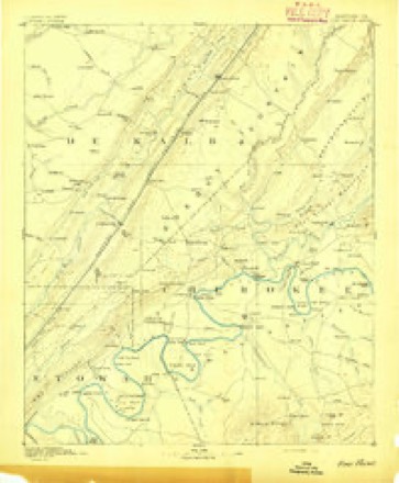
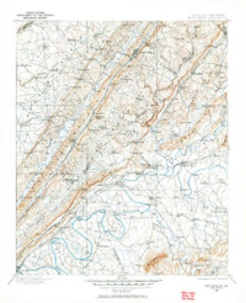
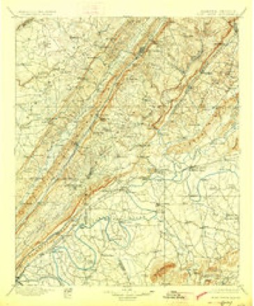
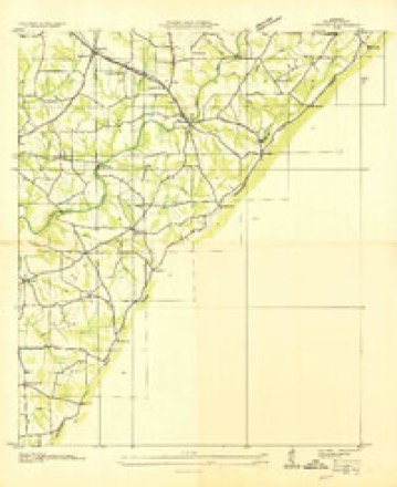
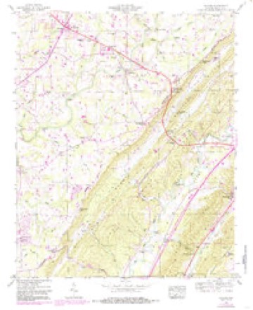
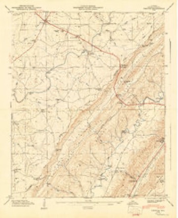
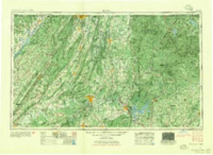
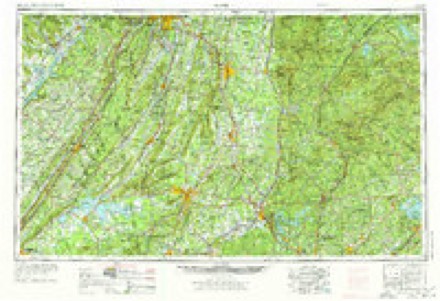
11 surveys from 21 printed sheetsMatched by testing this settlement's coordinate against the published boundary of every sheet in the United States Geological Survey's historical collection. Each opens the scanned sheet at the Survey.
- 1893 USGS Fort Payne quadrangle1:125000
- 1898 USGS Fort Payne quadrangle1:125000
- 1900 USGS Fort Payne quadrangle1:125000, 6 printings
- 1936 USGS Chavies quadrangle1:24000
- 1946 USGS Chavies quadrangle1:24000, 3 printings
- 1947 USGS Chavies quadrangle1:24000
- 1955 USGS Rome quadrangle1:250000
- 1958 USGS Rome quadrangle1:250000, 3 printings
- 1961 USGS Rome quadrangle1:250000
- 1963 USGS Rome quadrangle1:250000
- 1981 USGS Rome quadrangle1:100000, 2 printings
Fires near this place
110 since 1995Regional context, not property-specific evidence. The federal wildfire occurrence database lists 110 fires within 5 miles of Rainsville between 1995 and 2020, burning about 624 acres in total. 1 started naturally. 17 were recorded as arson. Distance is straight-line from the map coordinates, so a fire counted here may appear on a neighbouring settlement's page as well.
| Reported cause | Fires |
|---|---|
| Debris and open burning | 49 |
| Missing data/not specified/undetermined | 32 |
| Arson/incendiarism | 17 |
| Equipment and vehicle use | 5 |
| Recreation and ceremony | 4 |
| Misuse of fire by a minor | 2 |
| Natural | 1 |
The most recent of them, most recent first, with the day each was reported and the service that recorded it.
| Date | Cause | Size | Reported by | Name on the report |
|---|---|---|---|---|
| 9 September 1998 | Arson/incendiarism | 6.0 acres | Alabama Forestry Commission | not named |
| 9 September 1995 | Recreation and ceremony | 6.0 acres | Alabama Forestry Commission | not named |
| 7 September 2016 | Debris and open burning | 1.0 acres | Alabama Forestry Commission | 20160907-4 |
| 6 September 2006 | Arson/incendiarism | 5.0 acres | Alabama Forestry Commission | not named |
| 5 September 2019 | Missing data/not specified/undetermined | 1.0 acres | Alabama Forestry Commission | 20190905-7 |
| 3 September 2016 | Debris and open burning | 2.0 acres | Alabama Forestry Commission | 20160903-1 |
| 29 September 2014 | Arson/incendiarism | 10 acres | Alabama Forestry Commission | NOR-20140929-001 |
| 28 September 2016 | Debris and open burning | under an acre | Alabama Forestry Commission | 20160928-17 |
Settlements close enough to share some of these fires:
Mines and quarries near this place
1 within 5 milesRegional context, not property-specific evidence. The federal mineral resources record lists 1 working within 5 miles of Rainsville: 1 occurrence. None of them still produces. What was taken out: Iron. Distance is straight-line from the map coordinates, so a quarry counted here may appear on a neighbouring settlement's page as well.
| Where | Site | Commodity | Status | Recorded |
|---|---|---|---|---|
| Unnamed Prospect | Iron | Occurrence |
Storms near this place
59 since 1997Regional context, not property-specific evidence. The National Weather Service names Rainsville in 59 storm reports between 1997 and 2025: 25 thunderstorm wind, 22 hail, 4 tornado, 4 flash flood. The reports record 10 injuries. Each account below is quoted exactly as the forecast office filed it, from the NOAA Storm Events Database, and each date opens the federal record of that event.
| When | Event | Place named | Harm | What the report says |
|---|---|---|---|---|
| April 1997 | Tornado (F2) | Rainsville | 10 hurt, $2,200,000 | no account filed |
| March 2010 | Hail | Rainsville | $100,000 | A thunderstorm began producing confirmed half dollar (1.25 inches in diameter) to golfball (1.75 inches in diameter) sized hail just southwest of the Rainsville community. There are radar indications this path of large hail could have started even further to the southwest. As it pushed through Rainsville, the large hail significantly damaged 19 buildings, tearing up siding, awnings, and damaging some automobiles. Hail accumulation of at least one to three inches was reported. ||This storm then continued moving northeast and produced hail up to the size of hen eggs (2.00 inches in diameter) as it passed through the Slyvania community, where some damage also occurred. This storm continued to produce golfball sized hail as it moved over the eastern side of the Henagar community, before weakening. |
| April 2005 | Hail | Rainsville | $25,000 | Golf ball size hail covered the ground. |
| April 2006 | Hail | Rainsville | $15,000 | Golf ball size hail was reported. The hail produced slight to moderate damage to several vehicles and to the roof of three homes. |
| March 2010 | Thunderstorm Wind | Rainsville | $13,000 | A tin roof was ripped off a barn on Rainbow Avenue in Rainsville. |
| October 2010 | Thunderstorm Wind | Rainsville | $12,000 | Trees were blown down onto vehicles on Memorial Drive. |
| November 2003 | Thunderstorm Wind | Rainsville | $10,000 | Three small buildings suffered minor damage and two homes had shingle damage due to thunderstorm winds. |
| June 2025 | Thunderstorm Wind | Rainsville | $5,000 | A tree was uprooted and landed on a carport at 383 CR 275. Time estimated by radar. |
| June 2025 | Thunderstorm Wind | Rainsville | $5,000 | A few trees were knocked down in the Powell area near the county line. Time estimated by radar. |
| June 2010 | Thunderstorm Wind | Rainsville | $5,000 | Thunderstorm winds knocked blew over one side of a double-wide mobile home. Numerous trees in the area were also knocked down. A sign on NE College Road was blown over. |
| February 2008 | Lightning | Rainsville | $5,000 | A lightning strike knocked out the main switching facility of Farmer Telecommunications Cooperative, resulting in loss of phone service over much of DeKalb, Jackson, and Marshall Counties. The general manager was quoted as saying this was the worst severe weather related damage to the main switch in 30 years. |
| July 2008 | Thunderstorm Wind | Rainsville | $4,000 | Numberous trees were downed by thunderstorm winds in Rainsville. |
| April 1999 | Tornado (F0) | Rainsville | $4,000 | Several eyewitnesses reported seeing a funnel when what may have been a weak tornado touched down on the northside of Rainsville downing a few trees and causing minor damage at a building supply store. |
| June 2025 | Thunderstorm Wind | Rainsville | $2,000 | A tree was knocked down onto a power line at 26 College Road. Time estimated by radar. |
| April 1998 | Hail | Rainsville | $2,000 | Hail the size of quarters was reported in Rainsville. |
| May 1998 | Hail | Rainsville | $2,000 | no account filed |
| June 2025 | Thunderstorm Wind | Rainsville | $1,000 | A large tree was down on CR 100 blocking the road. Time estimated by radar. |
| July 2023 | Thunderstorm Wind | Rainsville | $1,000 | Trees were knocked down in the 2000 block of CR 94 in Fyffe. |
| December 2021 | Thunderstorm Wind | Rainsville | $1,000 | Power lines were knocked down at the intersection of Alabama Highway 35 and Kirk Road. |
| July 2020 | Thunderstorm Wind | Rainsville | $1,000 | A tree was knocked down at Powell City Hall at the intersection of CR 47 and AL highway 35. |
| April 2011 | Thunderstorm Wind | Rainsville | $1,000 | Thunderstorm winds caused structure damage on Shankles Road in Rainsville. |
| July 2023 | Thunderstorm Wind | Rainsville | $500 | A tree was knocked down on Mockingbird Lane. |
| June 2011 | Thunderstorm Wind | Rainsville | $500 | Small tree limbs were knocked down. |
| June 2011 | Thunderstorm Wind | Rainsville | $100 | A 55 mph gust was reported. |
| July 2023 | Hail | Rainsville | - | Hail of 1.25 inches in diameter was reported. |
| May 2021 | Flash Flood | Rainsville | - | Intersection of Highway 75 and Highway 35 in Rainsville has between 1 and 1.5 feet of water covering the roadway. |
| June 2021 | Heavy Rain | Rainsville | - | A CoCoRaHS observer measured 10.56 inches of rainfall during the 24 hour period. |
| December 2021 | Thunderstorm Wind | Rainsville | - | Roof damage was reported at the Sand Mountain Large Animal Clinic. Report relayed via social media. Time estimated by radar. |
| December 2021 | Tornado (EF1) | Rainsville | - | An EF-1 tornado with maximum winds of 104 mph touched down just east of County Road 120, where a small outbuilding was destroyed. The tornado moved in an easterly direction, uprooting several trees as it crossed S. Broad Street. As the tornado neared Kirk Road SW, it intensified to its highest strength, snapping or uprooting dozens of trees and causing minor roof damage to several homes. The tornado continued to the east, uprooting more trees along its path as it crossed Highway 35. The tornado began to weaken as it neared Rainbow Road, uprooting a few more trees and destroying a couple of carports. The tornado eventually crossed Church Street where roof damage occurred at BlueScope Steel, before lifting just west of Highway 75. |
| July 2020 | Hail | Rainsville | - | Nickel size hail was reported in the Rainsville community. |
| April 2018 | Thunderstorm Wind | Rainsville | - | Multiple trees were knocked down. |
| June 2017 | Flood | Rainsville | - | Minor yard flooding of a home located near the Stop to Save Market in Rainsville. Depth of water unknown. Report relayed via Social Media. |
| March 2017 | Thunderstorm Wind | Rainsville | - | A power pole was knocked down onto a home in the Rainsville area. |
| June 2015 | Thunderstorm Wind | Rainsville | - | A large tree and a fence was blown down by thunderstorm winds. |
| June 2015 | Thunderstorm Wind | Rainsville | - | A tree was downed onto a home by thunderstorm winds. |
| June 2015 | Thunderstorm Wind | Rainsville | - | Photos were forwarded by broadcast media indicating that a tin roof was peeled from a garage due to thunderstorm winds. |
| March 2015 | Hail | Rainsville | - | Quarter sized hail was reported. |
| April 2015 | Hail | Rainsville | - | Quarter sized hail was reported. |
| December 2014 | Hail | Rainsville | - | Quarter size hail was reported. |
| March 2013 | Thunderstorm Wind | Rainsville | - | Spotter reports power poles snapped and at least one barn destroyed west of Rainsville. |
| January 2013 | Flash Flood | Rainsville | - | Flash flooding was occurring with six inches to a foot of water reported over County Road 47 between Thomas and Poole Circle and along County Road 50 and Alabama Highway 75. |
| March 2013 | Thunderstorm Wind | Rainsville | - | Thunderstorm winds damaged a storage building at a farm and knocked trees and power lines down. The damage occurred at the intersection of Rainbow Road and Kain Avenue. |
| April 2012 | Hail | Rainsville | - | Penny sized hail was reported. |
| April 2012 | Hail | Rainsville | - | Penny sized hail reported. |
| April 2009 | Tornado (EF3) | Rainsville | - | This destructive tornado continued to move east northeast from Jackson county into Dekalb county. Just on the east side of Highway 35, a large metal industrial building that was securely anchored into the ground was completely destroyed. In Sylvania, significant damage occurred to several homes in the Stonebrook division. One home was completely lifted off its foundation and driven nearly 4 feet into the ground. Sporadic damage continued just to the east of Sylvania until the tornado apparently lifted between 335 and 340 PM CDT, just south of the Mahan Crossroads community in west central Dekalb county. |
| April 2009 | Hail | Rainsville | - | Nickel size hail fell in Powell. |
| June 2009 | Hail | Rainsville | - | Quarter sized hail and strong winds were reported along County Road 47, about one mile north of Alabama Highway 35. |
| April 2008 | Hail | Rainsville | - | Nickel sized hail was reported in the Powell community. |
| May 2005 | Hail | Rainsville | - | Quarter size hail was reported. |
| July 2005 | Thunderstorm Wind | Rainsville | - | A tree was blown down in Powell. |
| July 2004 | Hail | Rainsville | - | Penny size hail was reported. |
| February 2003 | Flash Flood | Rainsville | - | highway 35 flooded. |
| February 2003 | Flash Flood | Rainsville | - | Several streets flooded. |
| May 1999 | Hail | Rainsville | - | Nickel size hail was reported in Rainsville on CR 835. |
| January 1999 | Hail | Rainsville | - | Dime to nickel sized hail was reported in Rainsville. |
| June 1998 | Hail | Rainsville | - | Nickel size hail was reported in Rainsville. |
| June 1999 | Hail | Rainsville | - | no account filed |
| June 1999 | Funnel Cloud | Rainsville | - | no account filed |
| March 1998 | Hail | Rainsville | - | no account filed |
Nearest settlements
The eight closest, with where each one stands in the county. Distances are straight-line, computed from the Geographic Names Information System coordinates.
| Map | Place | Distance | Sheets |
|---|---|---|---|
| Lands Crossroads | 1.1 miles | 21 | |
| Plainview | 1.6 miles | 21 | |
| Musgrove (historical) | 1.8 miles | 22 | |
| Pope | 2.1 miles | 21 | |
| Chavies | 2.3 miles | 21 | |
| Luna (historical) | 3.5 miles | 21 | |
| Powells Crossroads | 3.5 miles | 21 | |
| Pleasant Hill | 3.8 miles | 21 |
Elsewhere
Matched on this settlement's Geographic Names Information System number rather than its name, so it cannot be a different place of the same name in another state.
| Wikipedia article on Rainsville | An encyclopaedic summary. Its text is share-alike, so it is linked here rather than copied. |
| Wikidata item Q79346 | The structured record the population and elevation above come from. Public domain (CC0). |
Provenance
This settlement is recorded in the Geographic Names Information System as feature 150475. The sheet list is computed by point-in-boundary test against the United States Geological Survey's historical topographic inventory. Both are works of the United States government and carry no copyright under 17 U.S.C. 105.
Wildfire. Short, Karen C. 2022. Spatial wildfire occurrence data for the United States, 1992-2020 [FPA_FOD_20221014]. 6th Edition. Fort Collins, CO: Forest Service Research Data Archive. https://doi.org/10.2737/RDS-2013-0009.6 Collected with United States Government funding and usable without additional permissions or fees.
Mines and quarries. USGS Mineral Resources Data System (MRDS) https://mrdata.usgs.gov/mrds/ A work of the United States government, no copyright under 17 U.S.C. 105.
Storms. NOAA National Centers for Environmental Information, Storm Events Database https://www.ncei.noaa.gov/stormevents/ A work of the United States government, no copyright under 17 U.S.C. 105. Narratives are quoted verbatim from the National Weather Service report and are not edited or summarised.