 Block
Reads Mill, Alabama
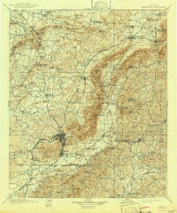
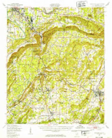
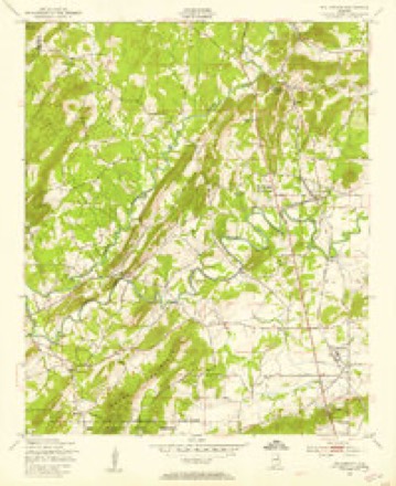
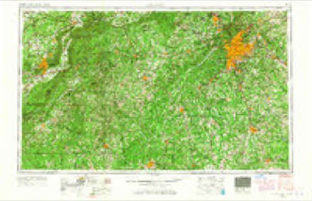
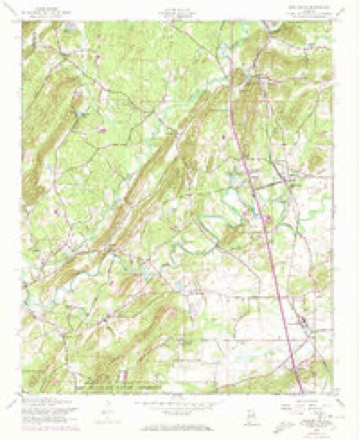
18 topographic sheets cover this place, the earliest surveyed in 1900 and the latest in 1981. It stands in the Alexandria-Webster Chapel census division. It lies in ZIP code area 36279. The Survey maps it on the Wellington quadrangle.
Topographic sheets covering this place
8 surveys from 18 printed sheetsMatched by testing this settlement's coordinate against the published boundary of every sheet in the United States Geological Survey's historical collection. Each opens the scanned sheet at the Survey.
- 1900 USGS Anniston quadrangle1:125000, 6 printings
- 1947 USGS Jacksonville quadrangle1:62500
- 1947 USGS Wellington quadrangle1:24000
- 1953 USGS Atlanta quadrangle1:250000, 2 printings
- 1956 USGS Wellington quadrangle1:24000, 4 printings
- 1957 USGS Atlanta quadrangle1:250000
- 1958 USGS Atlanta quadrangle1:250000
- 1981 USGS Anniston quadrangle1:100000, 2 printings
Fires near this place
196 since 1994Regional context, not property-specific evidence. The federal wildfire occurrence database lists 196 fires within 5 miles of Reads Mill between 1994 and 2020, burning about 3,187 acres in total. 2 started naturally. 65 were recorded as arson. Distance is straight-line from the map coordinates, so a fire counted here may appear on a neighbouring settlement's page as well.
| Reported cause | Fires |
|---|---|
| Debris and open burning | 70 |
| Arson/incendiarism | 65 |
| Missing data/not specified/undetermined | 40 |
| Recreation and ceremony | 10 |
| Misuse of fire by a minor | 3 |
| Equipment and vehicle use | 3 |
| Smoking | 2 |
| Natural | 2 |
| Railroad operations and maintenance | 1 |
The most recent of them, most recent first, with the day each was reported and the service that recorded it.
| Date | Cause | Size | Reported by | Name on the report |
|---|---|---|---|---|
| 9 September 1995 | Debris and open burning | 40 acres | Alabama Forestry Commission | not named |
| 8 September 1998 | Misuse of fire by a minor | under an acre | Alabama Forestry Commission | not named |
| 8 September 1998 | Arson/incendiarism | 2.0 acres | Alabama Forestry Commission | not named |
| 8 September 1998 | Arson/incendiarism | 1.5 acres | Alabama Forestry Commission | not named |
| 7 September 2005 | Arson/incendiarism | 5.0 acres | Alabama Forestry Commission | not named |
| 7 September 1995 | Debris and open burning | 35 acres | Alabama Forestry Commission | not named |
| 6 September 1998 | Debris and open burning | 25 acres | Alabama Forestry Commission | not named |
| 6 September 1995 | Debris and open burning | under an acre | Alabama Forestry Commission | not named |
Settlements close enough to share some of these fires:
Mines and quarries near this place
10 of 55 shownRegional context, not property-specific evidence. The federal mineral resources record lists 55 workings within 5 miles of Reads Mill: 20 past producers, 14 occurrences, 13 unknowns, 8 prospects. None of them still produces. What was taken out: Iron, Barium-Barite, Lead, Manganese. Distance is straight-line from the map coordinates, so a quarry counted here may appear on a neighbouring settlement's page as well.
| Where | Site | Commodity | Status | Recorded |
|---|---|---|---|---|
| C B Allen Area | Graphite | Past Producer | 1865, 1917 | |
| Old Lead Mine | Lead, Zinc | Past Producer | 1850 | |
| Tom Moore | Lead, Barium-Barite | Past Producer | 1916 | |
| Unnamed Prospect | Zinc, Lead | Past Producer | 1863 | |
| Wellington Prospect | Lead, Zinc, Limestone, General | Occurrence | ||
| Unnamed Prospect | Lead, Zinc | Occurrence | ||
| Unnamed Prospect | Lead, Zinc | Occurrence | ||
| Grady Norton | Manganese | Past Producer | 1917 | |
| Norton Deposit | Manganese | Past Producer | Surface | |
| Pryor Mine/Norton Deposit/Davis Gap | Iron, Manganese | Past Producer | Hematite |
Storms near this place
8 since 2008Regional context, not property-specific evidence. The National Weather Service names Reads Mill in 8 storm reports between 2008 and 2022: 4 thunderstorm wind, 2 tornado, 1 hail, 1 flash flood. The reports record 4 injuries. Each account below is quoted exactly as the forecast office filed it, from the NOAA Storm Events Database, and each date opens the federal record of that event.
| When | Event | Place named | Harm | What the report says |
|---|---|---|---|---|
| March 2018 | Tornado (EF3) | Reads Mill | 4 hurt | National Weather Service meteorologists surveyed damage in northern Calhoun Calhoun County and determined that the damage was consistent with an EF3 tornado, with maximum sustained winds near 150 mph. The tornado first touched down west of US Highway 431 north of town of Wellington, where it rapidly intensified and widened. It snapped and uprooted numerous trees along US Highway 431. Several homes were damaged by the falling trees. The tornado proceeded eastward across Websters Road and Broughton Road with scattered tree damage. As the tornado crossed Old Sulphur Springs Road, two homes were damaged with scores of trees snapped or uprooted. At Angel Station Road, the tornado filled the valley from one side to the other and caused extensive tree and home damage. An electrical transmission tower line was toppled at this point, but it was believed that flying debris compromised the structure. The tornado continued eastward and destroyed the sanctuary at West Point Baptist Church. Additional structures were severely damaged at the church. The tornado entered the City of Jacksonville where it gained strength into the EF3 category, with winds around 140 mph. It removed most of the roof and the top floor of two buildings in an apartment complex. The tornado affected the entire campus of Jacksonville State University. Several buildings sustained significant damage. The most intense winds remained north of the campus however, mowing down trees and causing direct damage to homes. As the tornado crossed Highway 21, it caused caused major damage to the Merrill Building. It then moved into a highly populated zone, where scores of homes suffered major damage and rendered uninhabitable. The tornado maintained its strength as it crossed Choccolocco Mountain, and winds funneled up the valley uprooting or snapping trees. It caused major damage to a number of homes on the mountainside. Damaged continued all the way up to just south of the peak of the mountain. As the tornado moved down the eastern side of Choccolocco Mountain, it narrowed substantially and became stronger once it reached the valley below. Stands of trees were wiped out with trunks snapped relatively close to ground level. Perhaps the most intense damage along the entire track occurred along Hollingsworth Road, where a site built home was completely destroyed with only a portion of one interior wall left standing. Debris from this home was blown downstream across a field with some evidence of wind rowing. Hay bales adjacent to the home, estimated at 800 pounds each, were thrown up to 300 yards to the east. Maximum winds at this location were estimated at 150 mph. The tornado continued east-southeast and downed thousands of trees in the Talladega National Forest and crossed into Cleburne County just south of County Road 534. |
| July 2010 | Thunderstorm Wind | Reads Mill | $3,000 | A few trees were blown down near the intersection of Duke Road and Websters Road. In addition, one outbuilding was overturned in the same area. |
| June 2010 | Thunderstorm Wind | Reads Mill | $2,000 | Trees and power lines were blown down on US-411, near Hollingsworth Road. |
| August 2008 | Thunderstorm Wind | Reads Mill | $1,000 | Several trees were blown down and blocked Green Valley Road, south of Gadsden. |
| June 2022 | Flash Flood | Reads Mill | - | Several roads flooded and impassable in the city of Jacksonville. |
| March 2018 | Tornado (EF1) | Reads Mill | - | National Weather Service meteorologists surveyed damage in northwest Calhoun County and determined that the damage was consistent with an EF1 tornado, with maximum sustained winds near 100 mph. This tornado began in eastern St. Clair County and crossed through all of Etowah County before entering Calhoun County. The tornado entered Calhoun County near the intersection of Harrell Gap Road and Gilbert's Ferry Road. The tornado continued east for about one mile where several trees were snapped and uprooted before dissipating near Oak Grove Road. |
| June 2017 | Thunderstorm Wind | Reads Mill | - | Several trees uprooted and power lines downed on Oak Grove Road. |
| March 2011 | Hail | Reads Mill | - | no account filed |
Nearest settlements
The eight closest, with where each one stands in the county. Distances are straight-line, computed from the Geographic Names Information System coordinates.
| Map | Place | Distance | Sheets |
|---|---|---|---|
| Colwell | 1.0 miles | 18 | |
| Crystal Springs | 1.2 miles | 18 | |
| Oak Grove (historical) | 1.3 miles | 18 | |
| Duke | 1.6 miles | 18 | |
| Mount Polk | 1.7 miles | 17 | |
| Mack (historical) | 1.9 miles | 17 | |
| Laney | 1.9 miles | 18 | |
| Mount Gilead (historical) | 2.1 miles | 18 |
Elsewhere
Matched on this settlement's Geographic Names Information System number rather than its name, so it cannot be a different place of the same name in another state.
| Wikidata item Q122571707 | The structured record the population and elevation above come from. Public domain (CC0). |
Provenance
This settlement is recorded in the Geographic Names Information System as feature 156947. The sheet list is computed by point-in-boundary test against the United States Geological Survey's historical topographic inventory. Both are works of the United States government and carry no copyright under 17 U.S.C. 105.
Wildfire. Short, Karen C. 2022. Spatial wildfire occurrence data for the United States, 1992-2020 [FPA_FOD_20221014]. 6th Edition. Fort Collins, CO: Forest Service Research Data Archive. https://doi.org/10.2737/RDS-2013-0009.6 Collected with United States Government funding and usable without additional permissions or fees.
Mines and quarries. USGS Mineral Resources Data System (MRDS) https://mrdata.usgs.gov/mrds/ A work of the United States government, no copyright under 17 U.S.C. 105.
Storms. NOAA National Centers for Environmental Information, Storm Events Database https://www.ncei.noaa.gov/stormevents/ A work of the United States government, no copyright under 17 U.S.C. 105. Narratives are quoted verbatim from the National Weather Service report and are not edited or summarised.