Block
From the record
63 National Register listings published here.
Sources: the National Register database, National Park Service
120 topographic sheets and 32 fire insurance atlases across 4 places.
63 National Register listings published here.
Sources: the National Register database, National Park Service
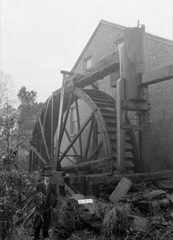
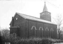
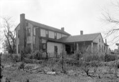
Taken for the Office of War Information and the Farm Security Administration, who photographed the country between 1935 and 1944. Works of United States government photographers, with no known restriction on use. Each opens its catalogue record.
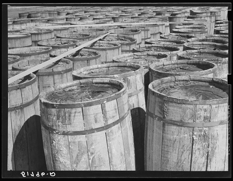
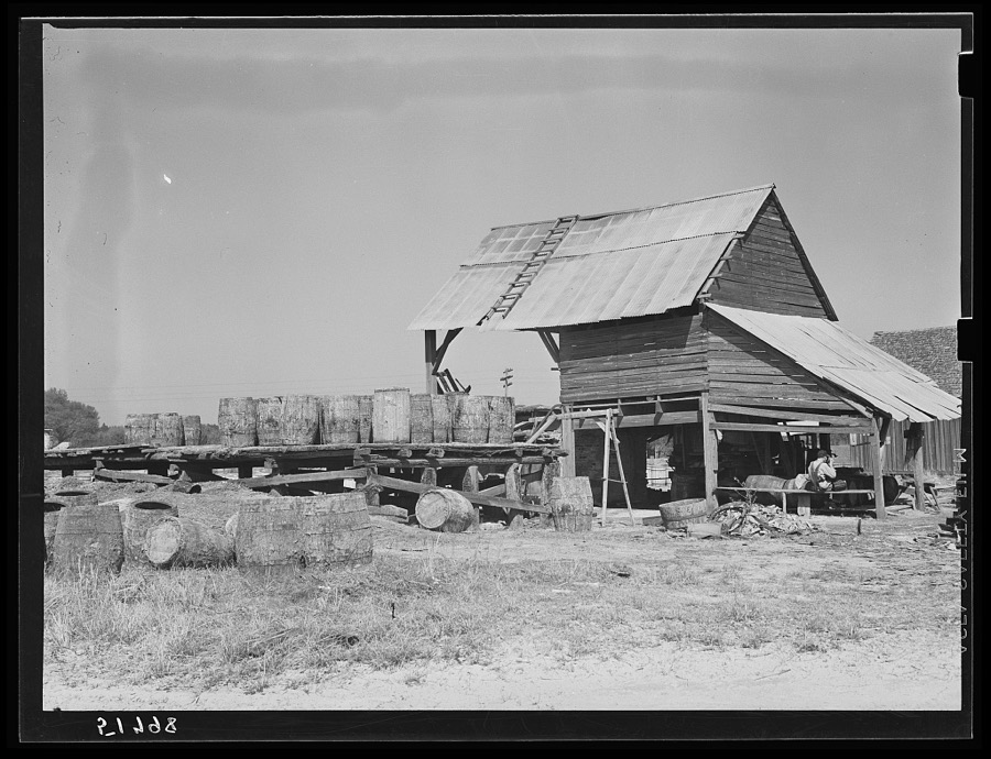
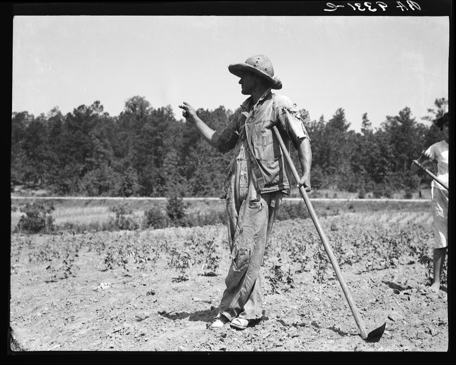
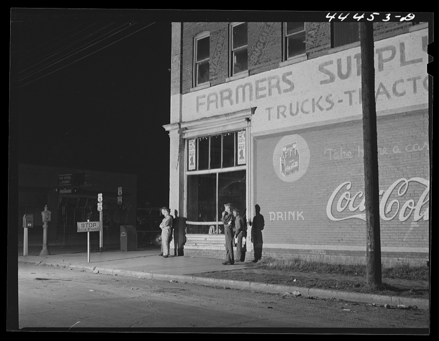
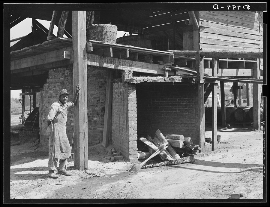
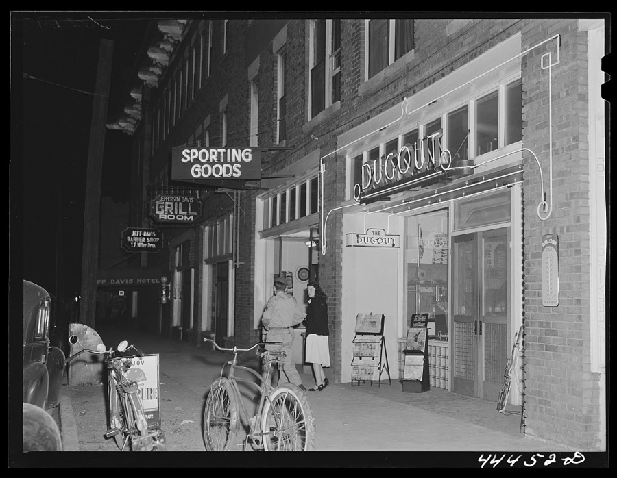
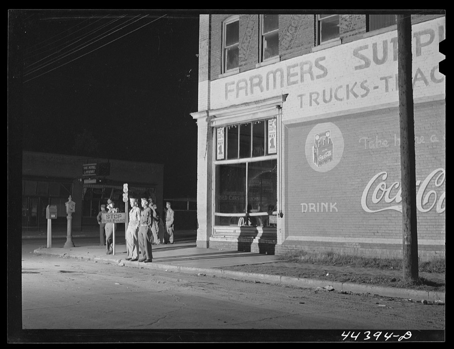
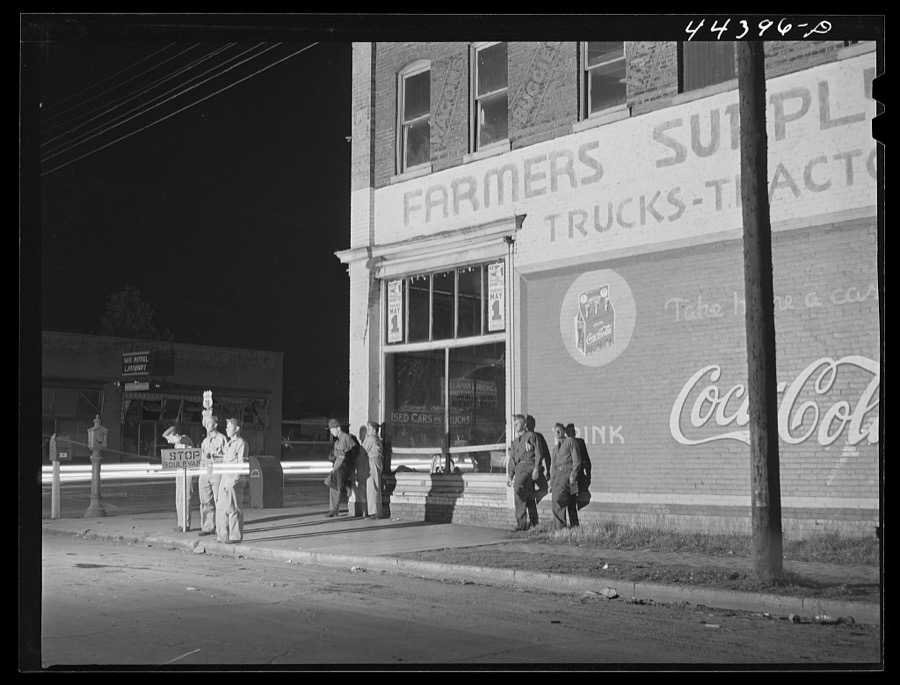
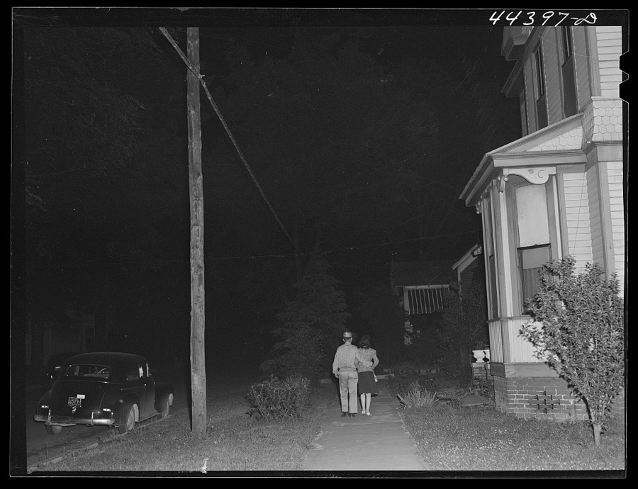
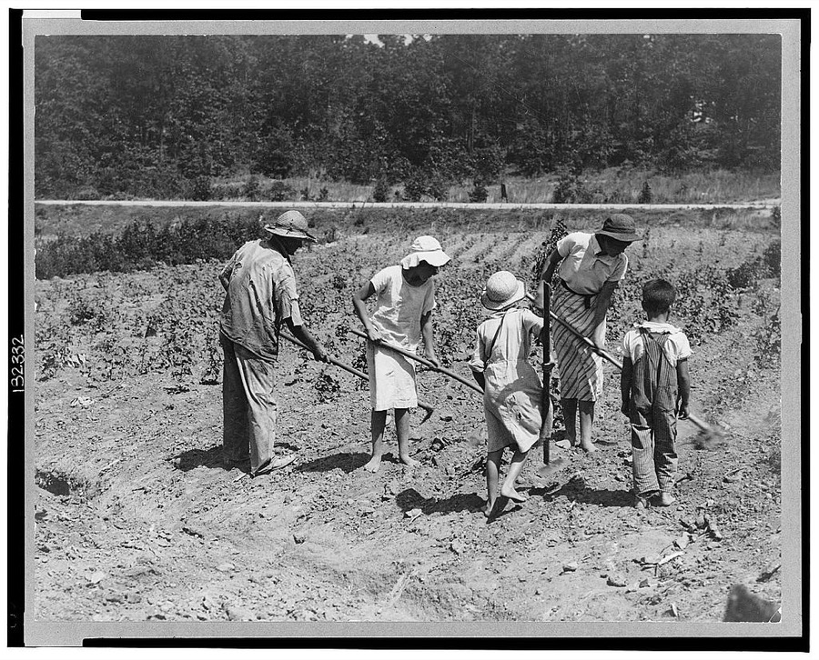
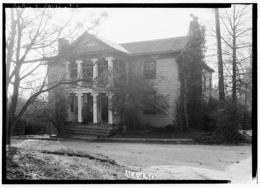
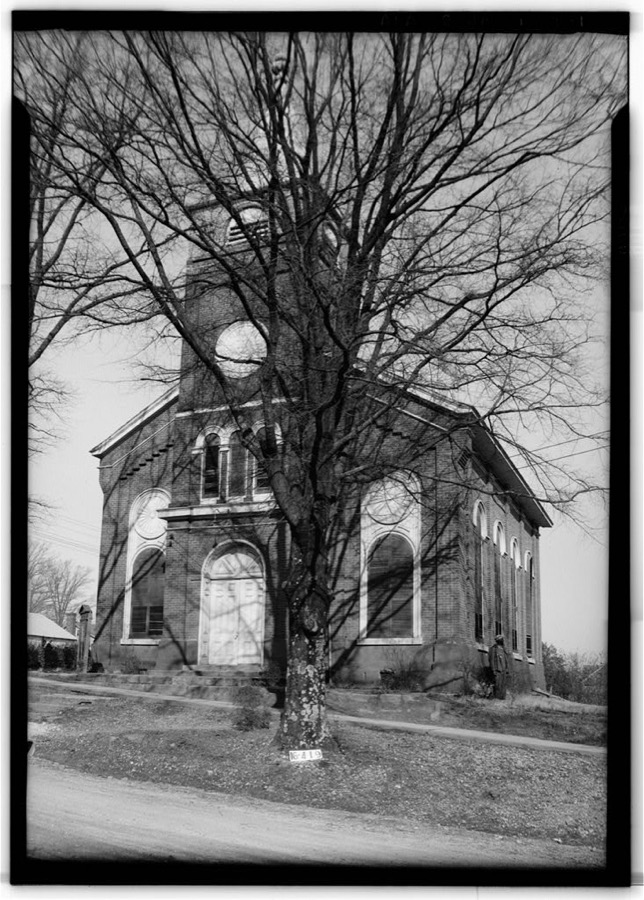
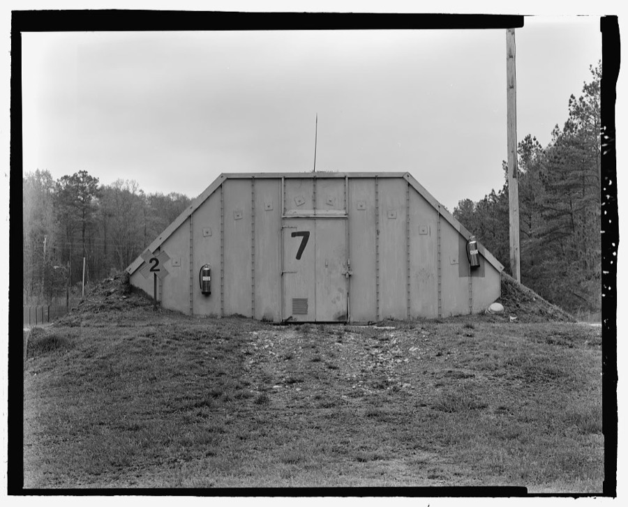
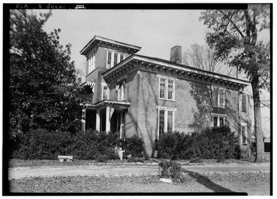
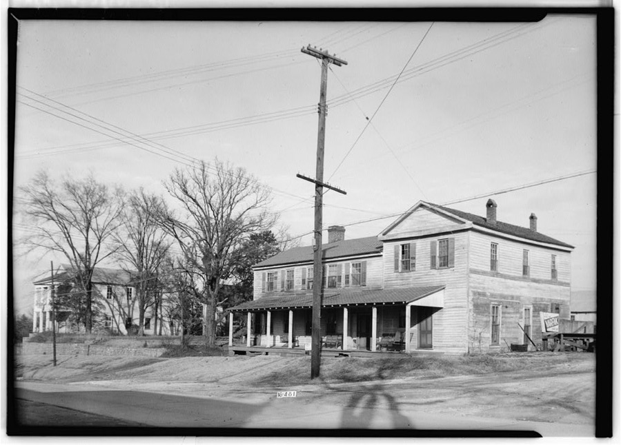
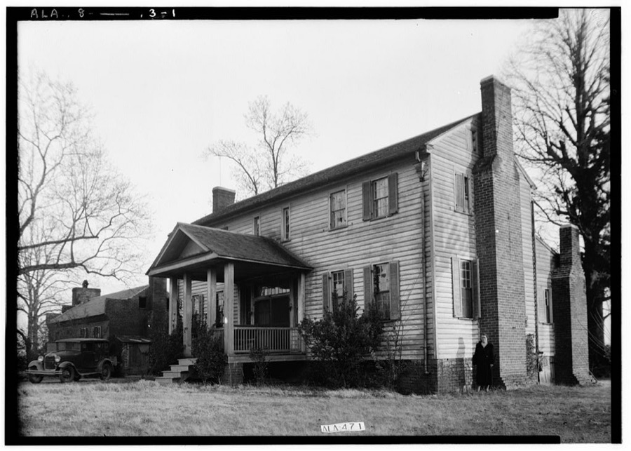
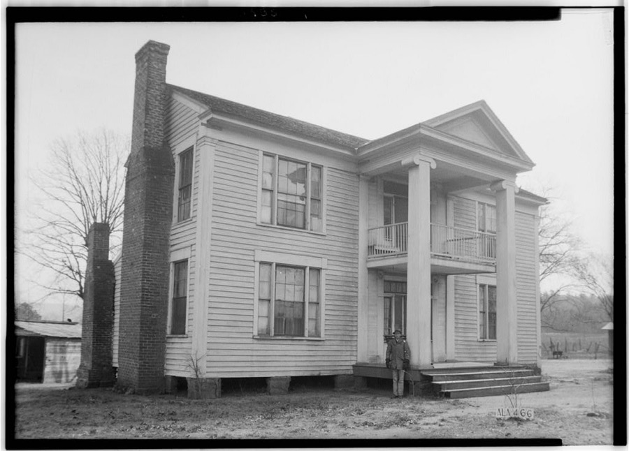
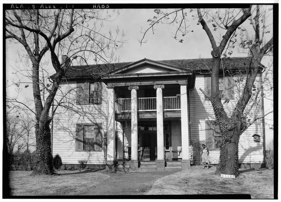
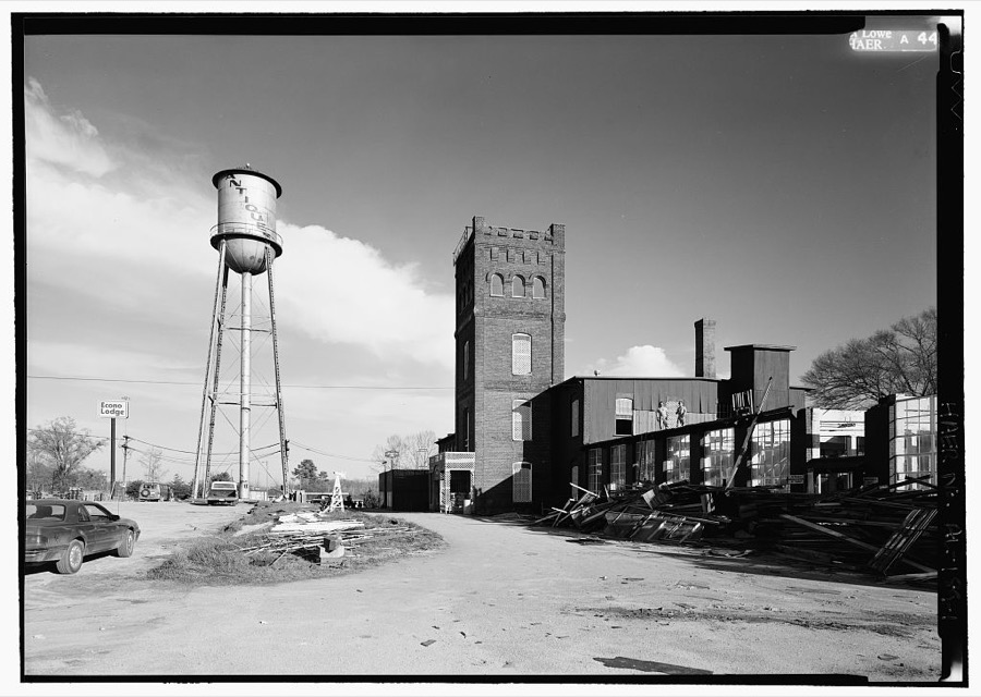
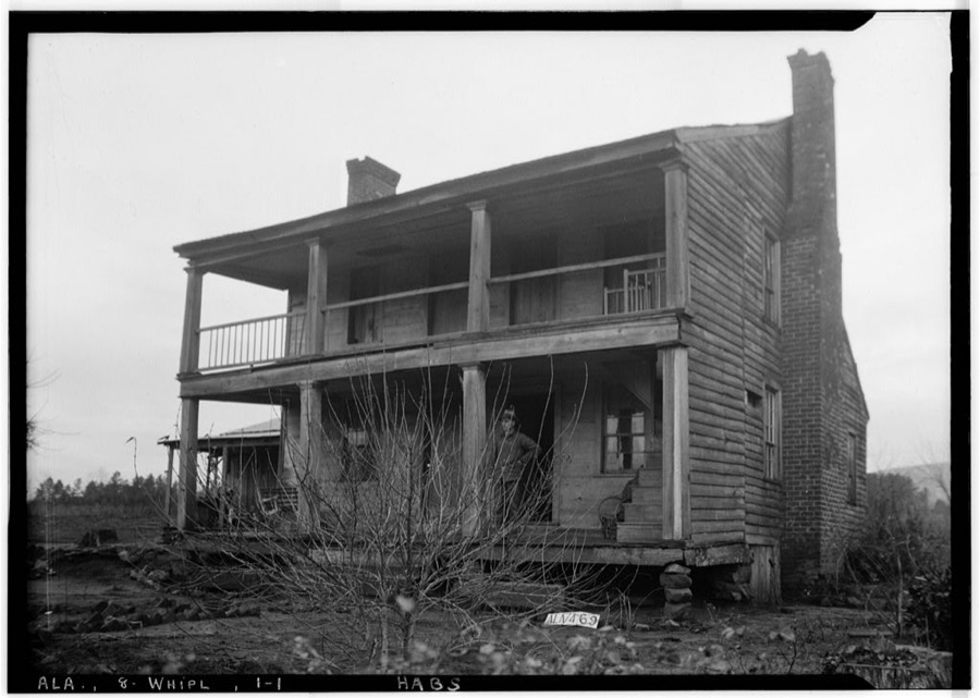
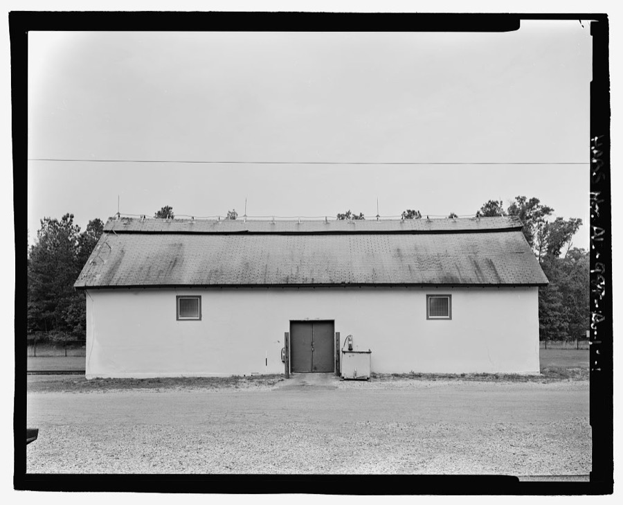
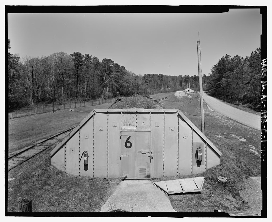
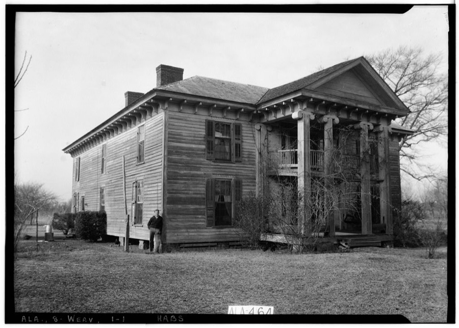
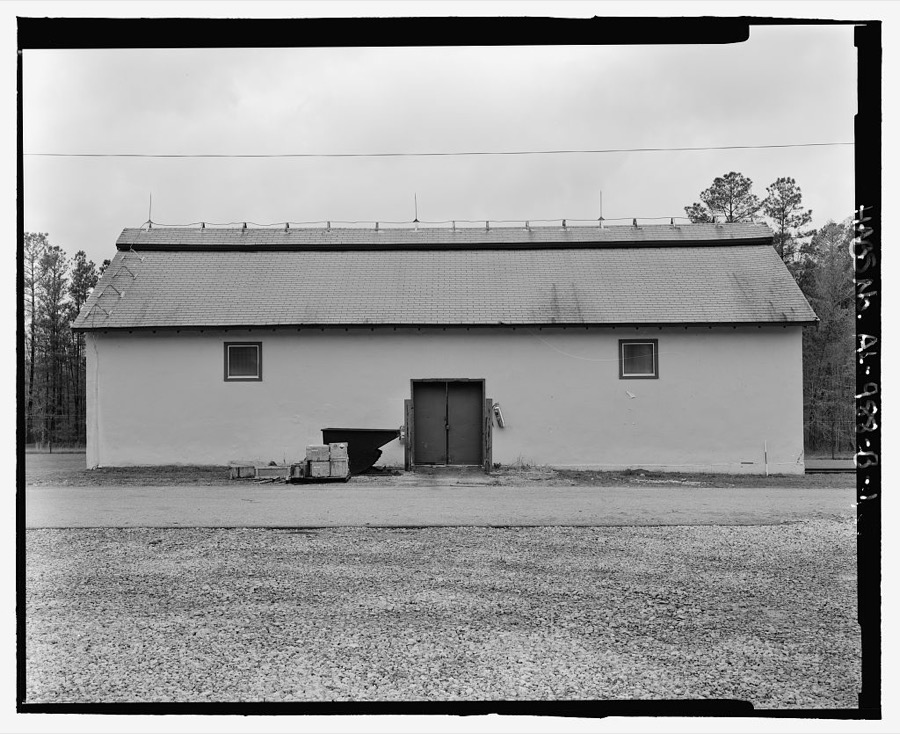
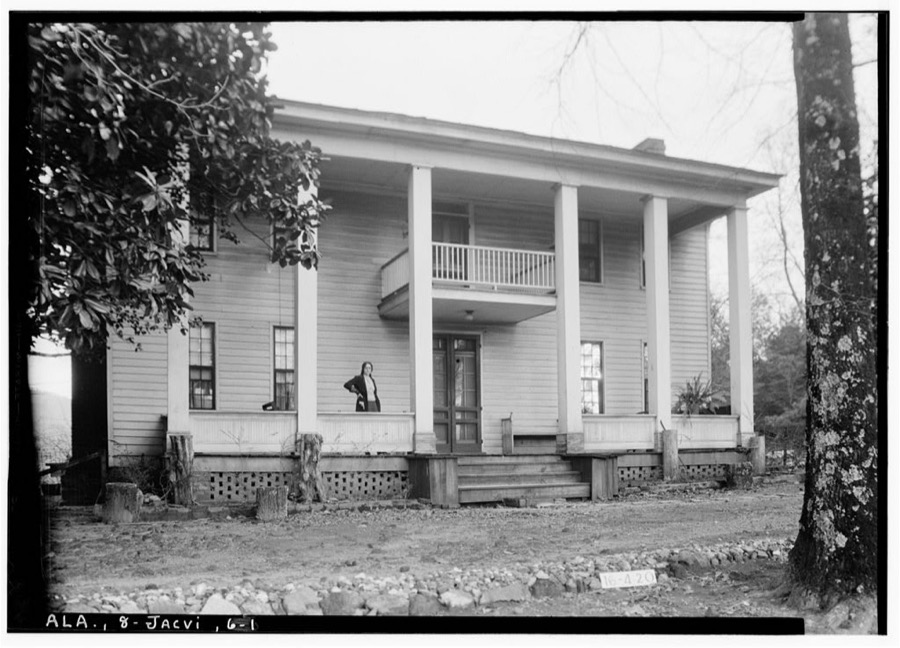
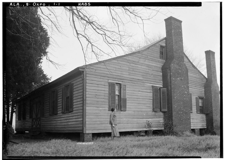
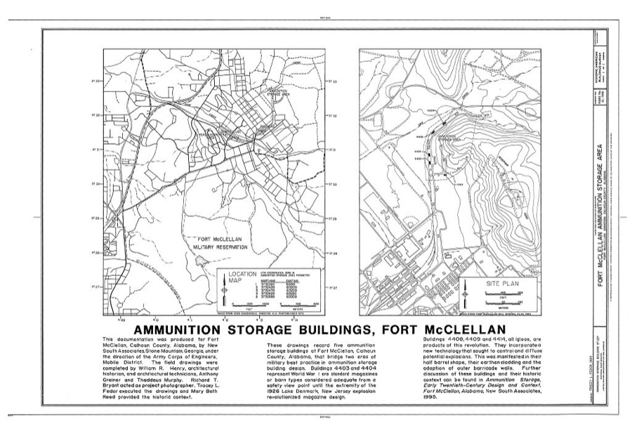
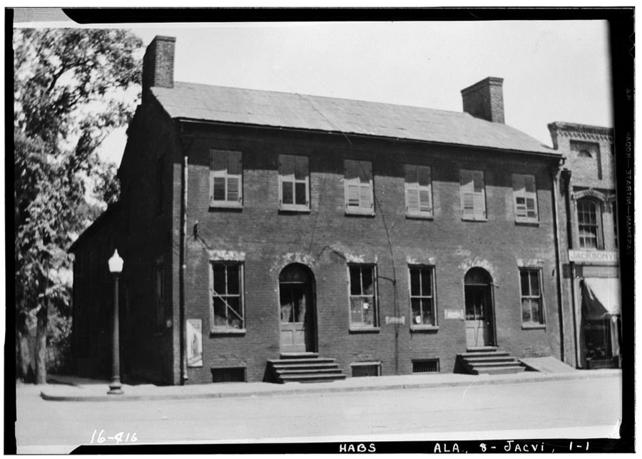
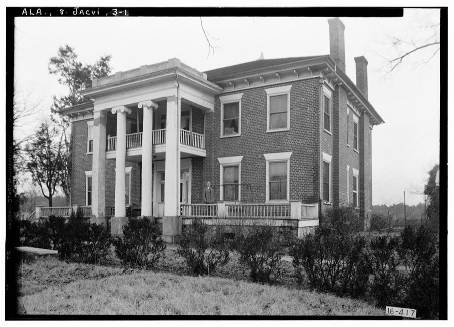
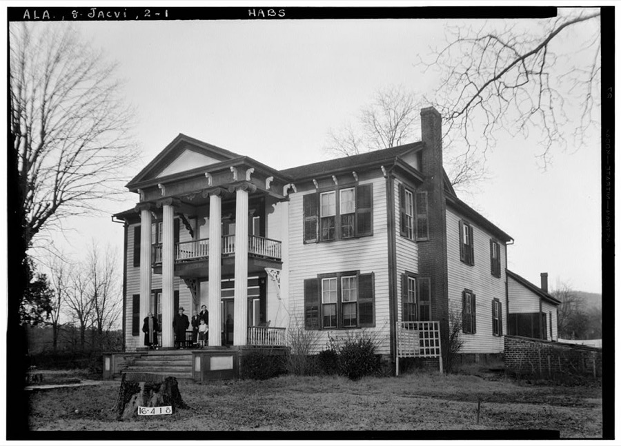
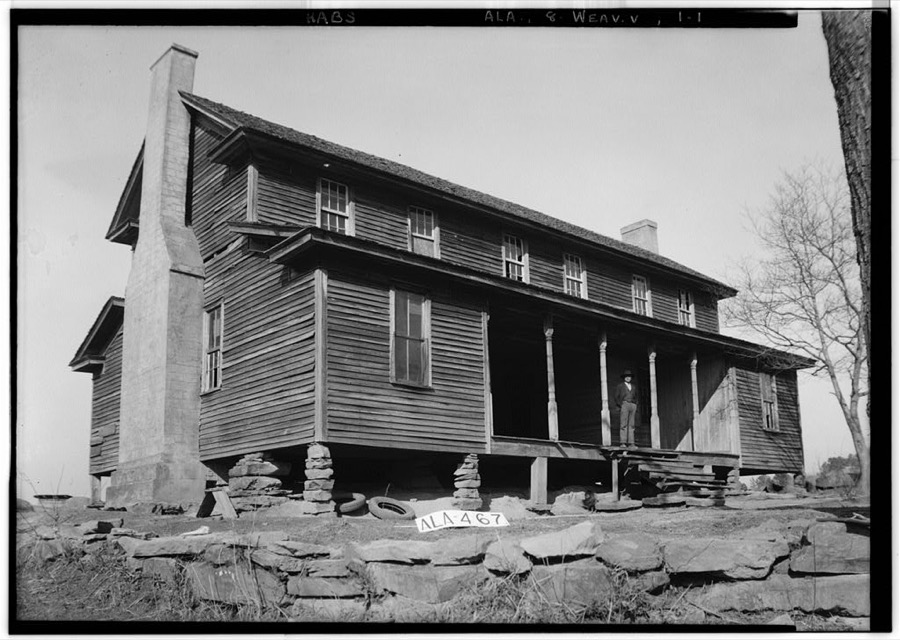
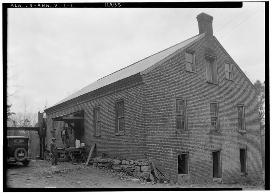
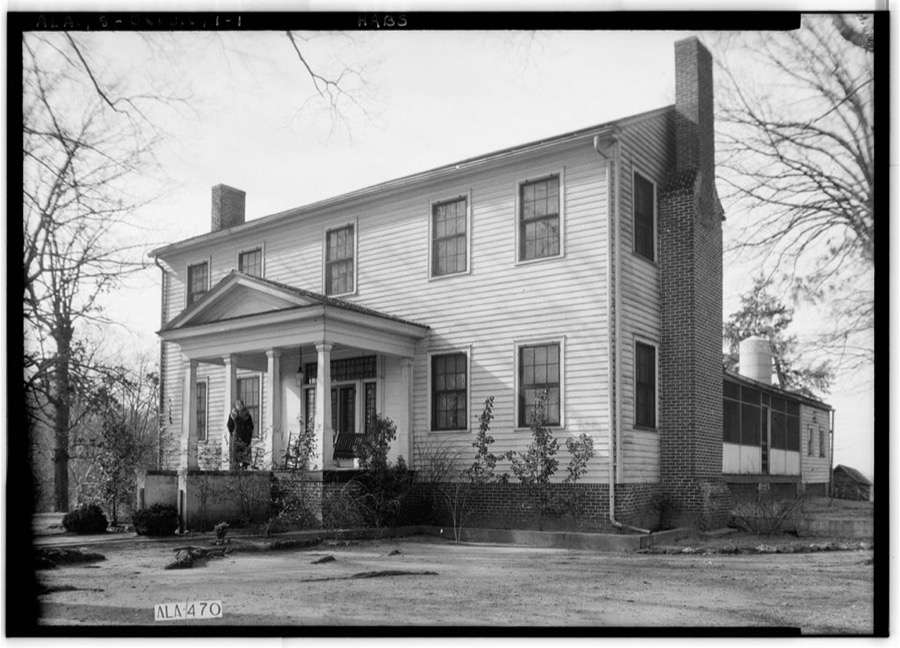
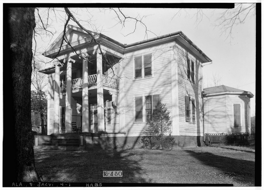
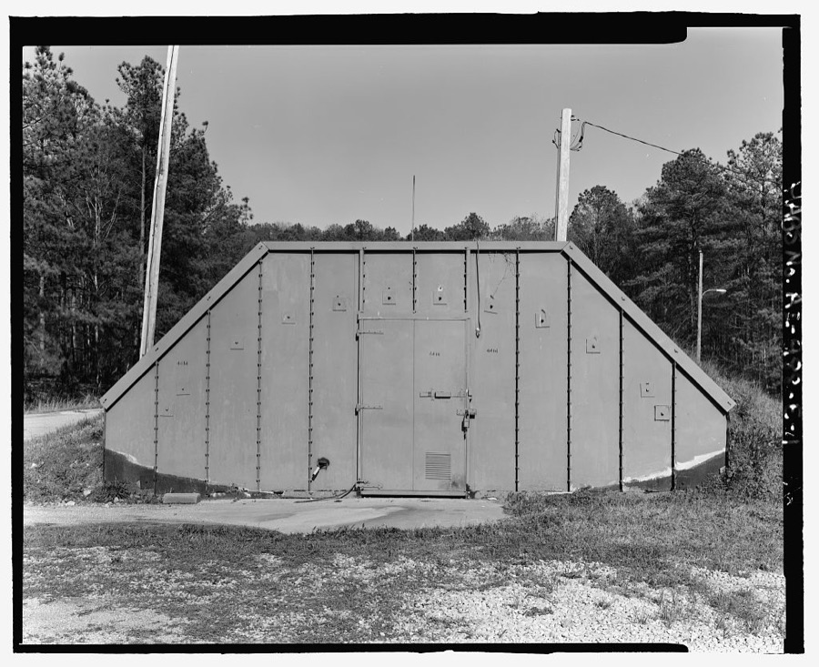
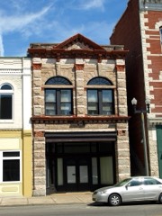
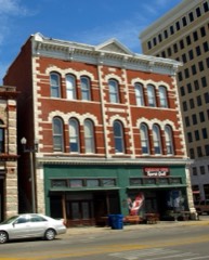
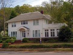
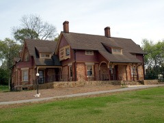
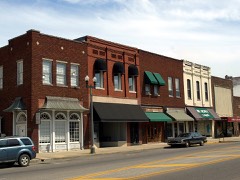
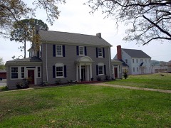
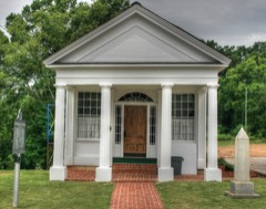
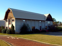
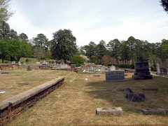
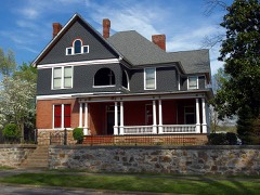
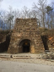
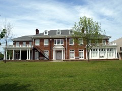
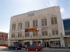
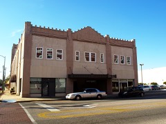
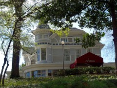
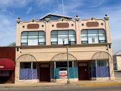
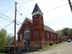
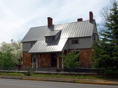
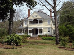
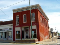
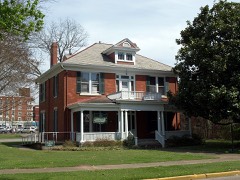
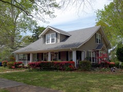
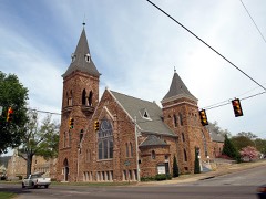
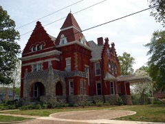
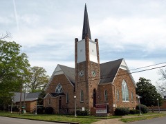
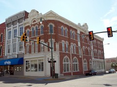
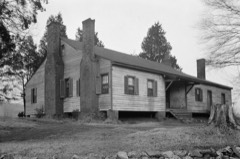
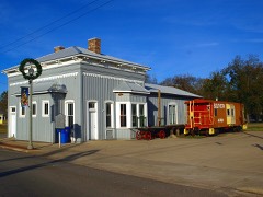
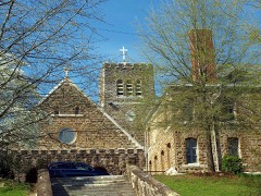
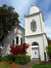
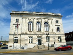
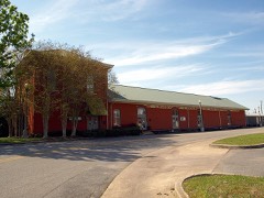
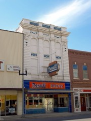
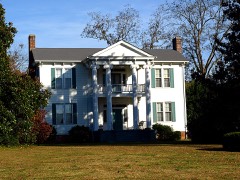
Every property in this county listed on the National Register of Historic Places, with the year it was listed and the federal nomination document.
Calhoun County has 1 covered bridge on the National Register. Each is a listed structure with a federal nomination on file.
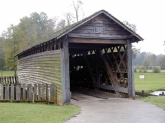 | Coldwater Creek Covered Bridge | Listed 1973 |
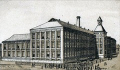
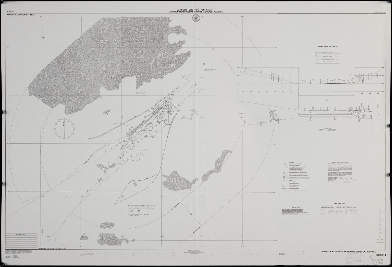
Drawn when these were printed as single large sheets: the town seen from the air, and the county divided into its farms with every owner named. Each opens the original at the Library of Congress.
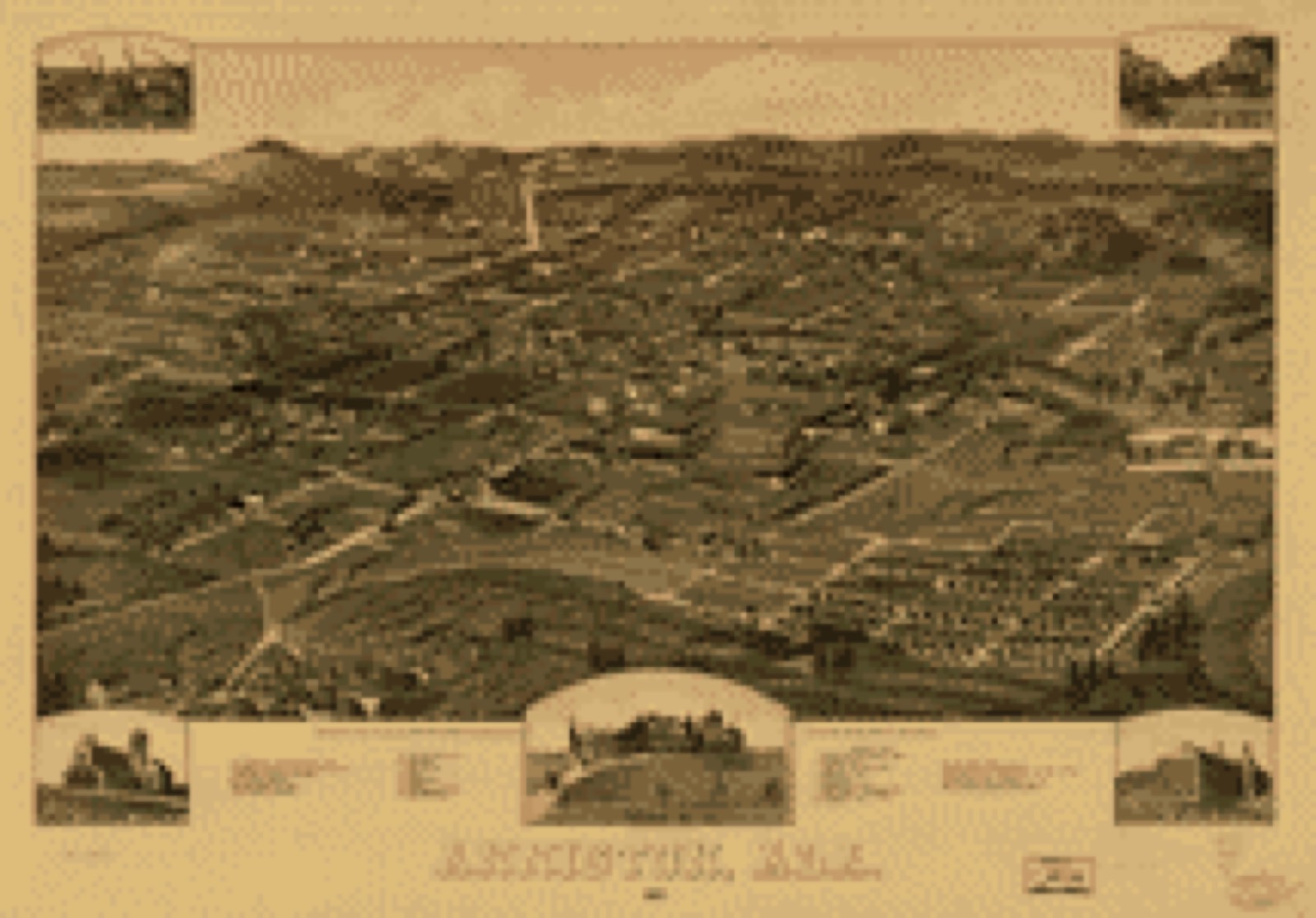
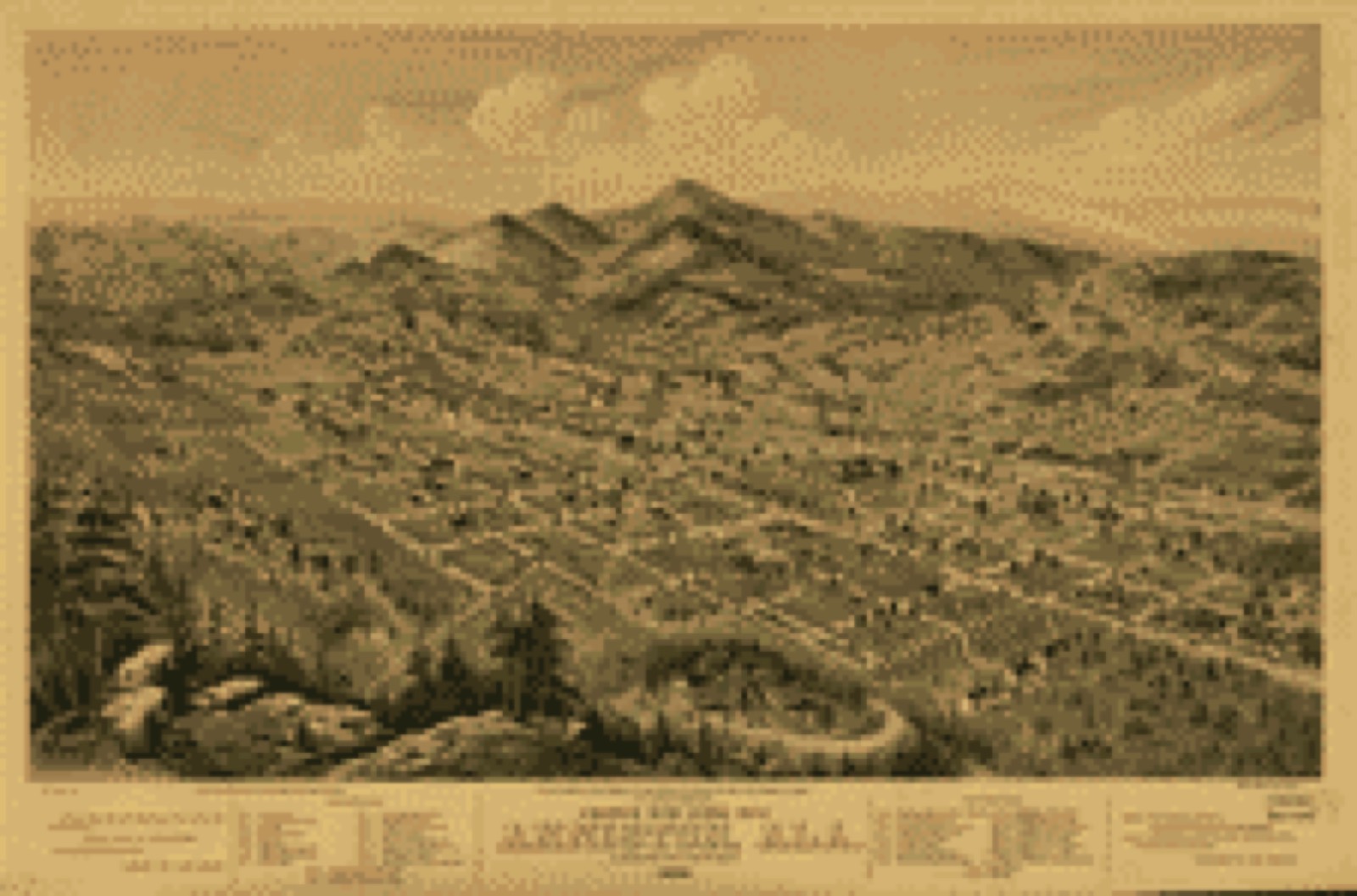
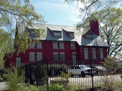
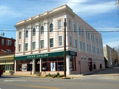
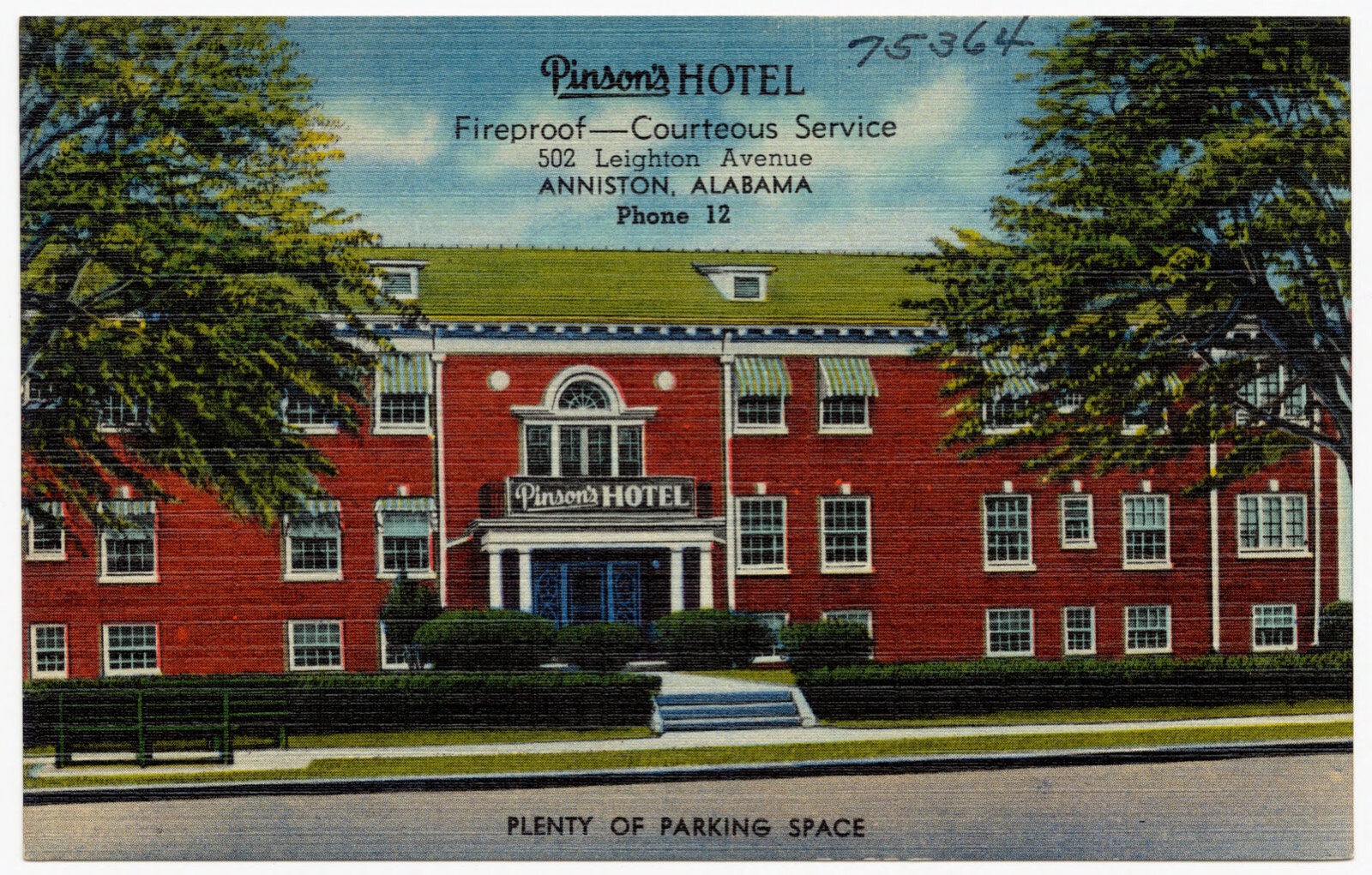
Selected from the Digital Public Library of America's 6 image records catalogued for this county. Every one shown here carries a public-domain status or a licence that permits reuse on a site that carries advertising; non-commercial, share-alike and restricted images are excluded. The selection is spread across the county's towns (at most eight per town), so no single institution's bulk upload crowds out the rest. Each opens the holding library's record, and the complete set at the Digital Public Library of America is one click away.
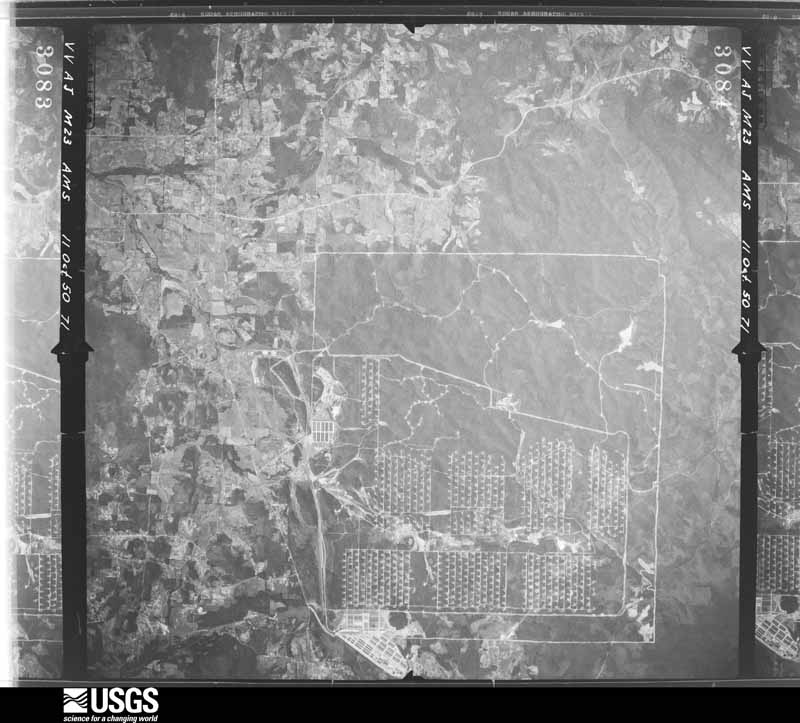
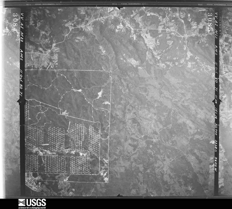
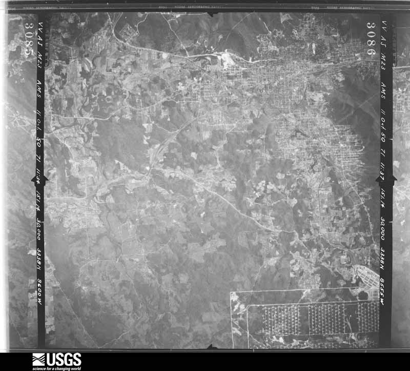
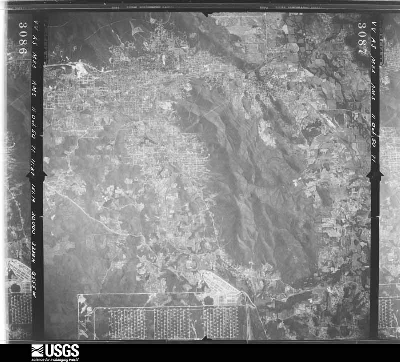
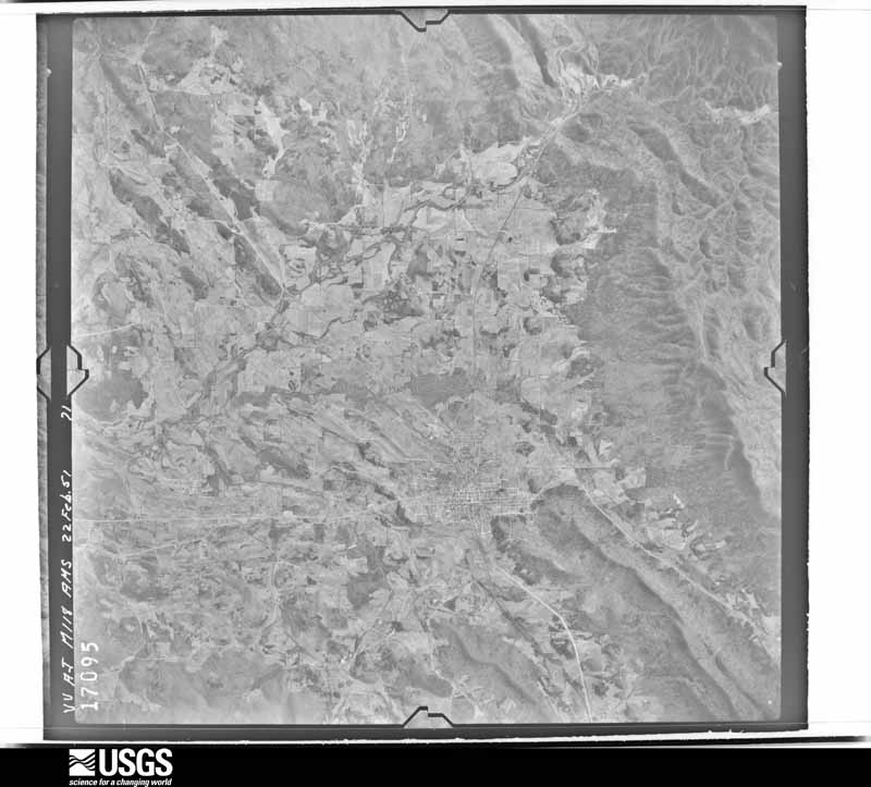
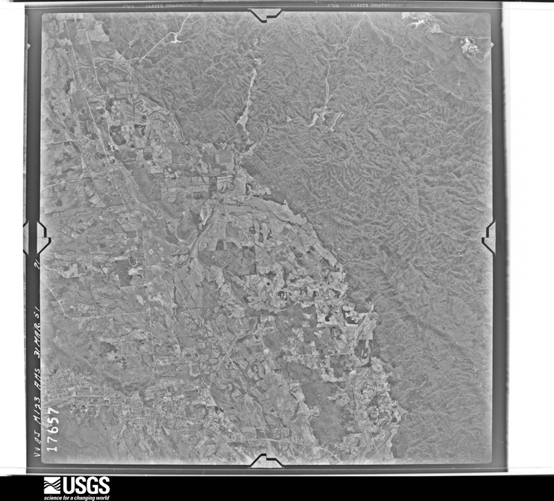
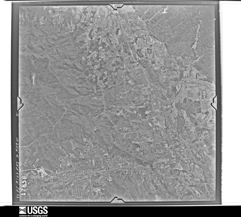
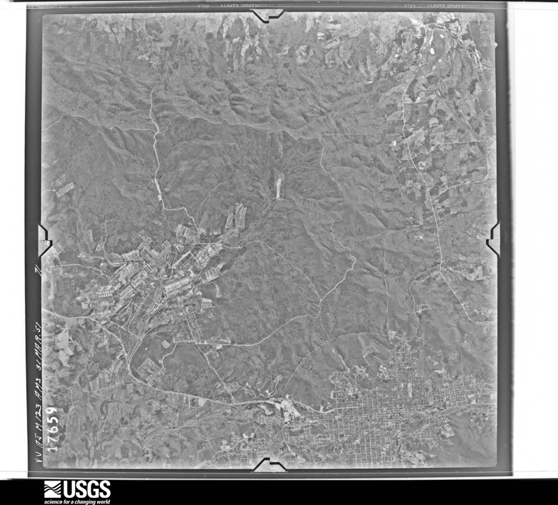
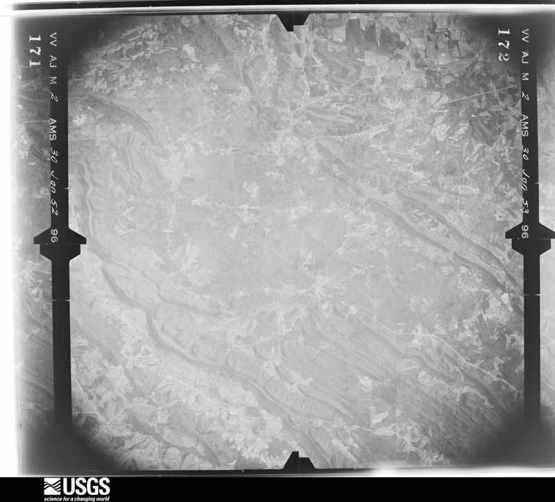
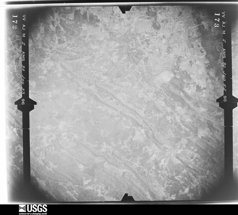
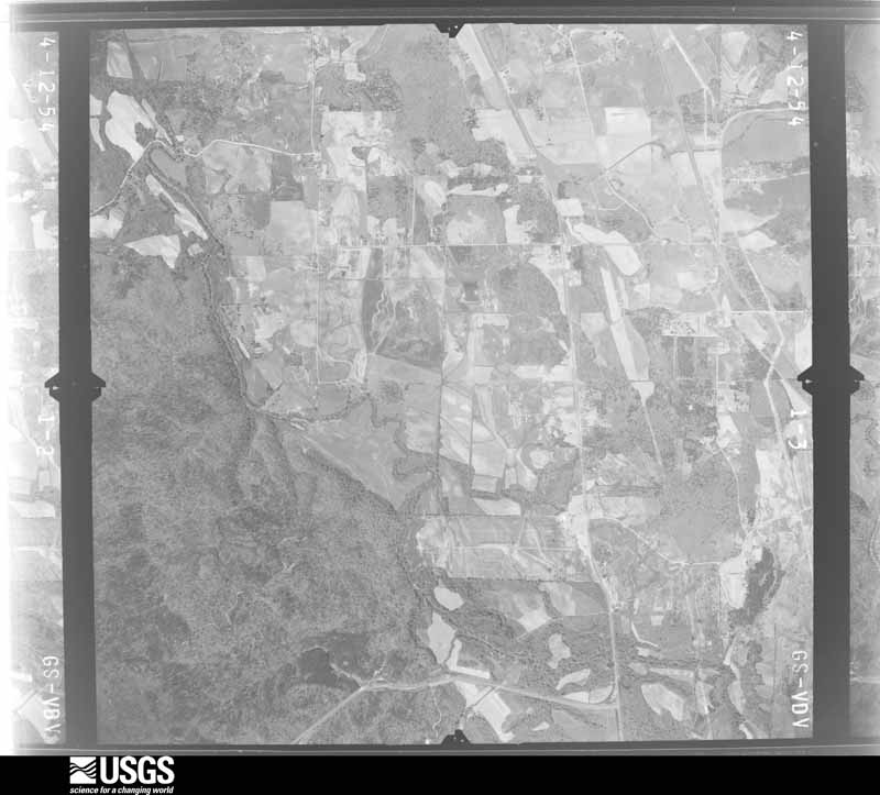
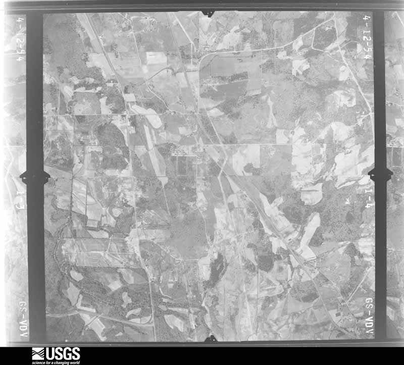
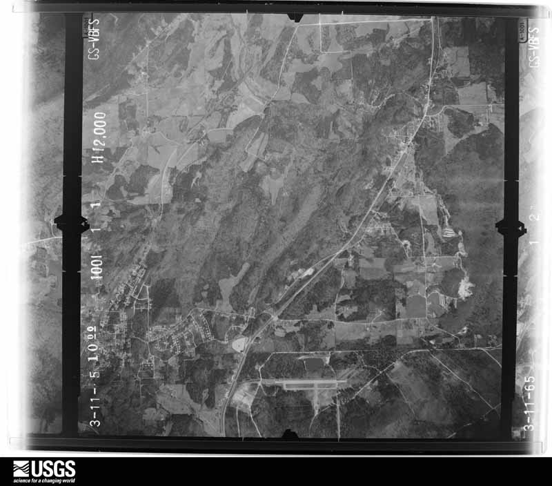
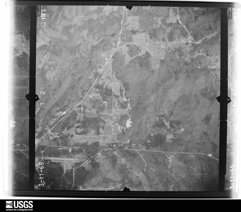
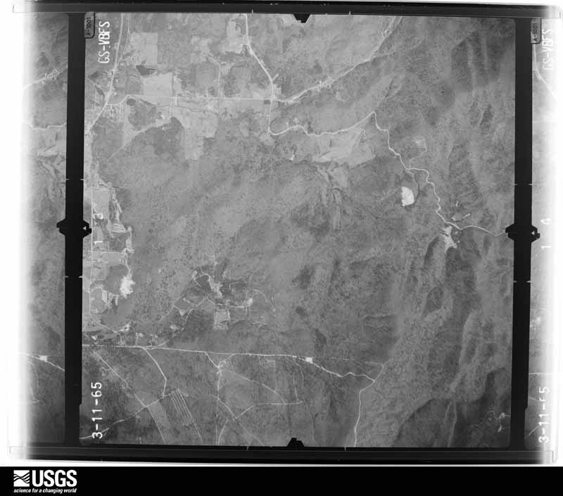
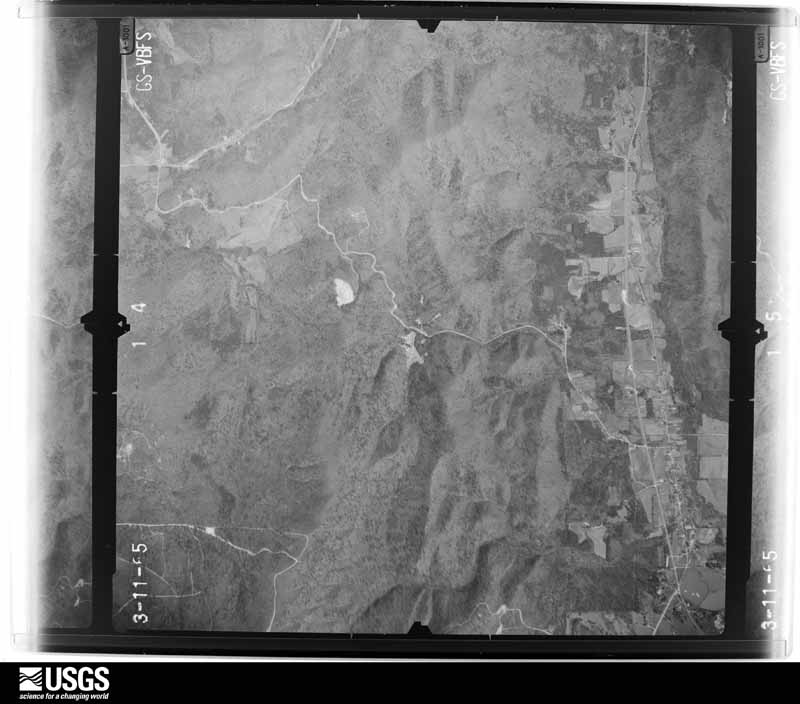
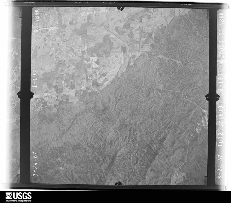
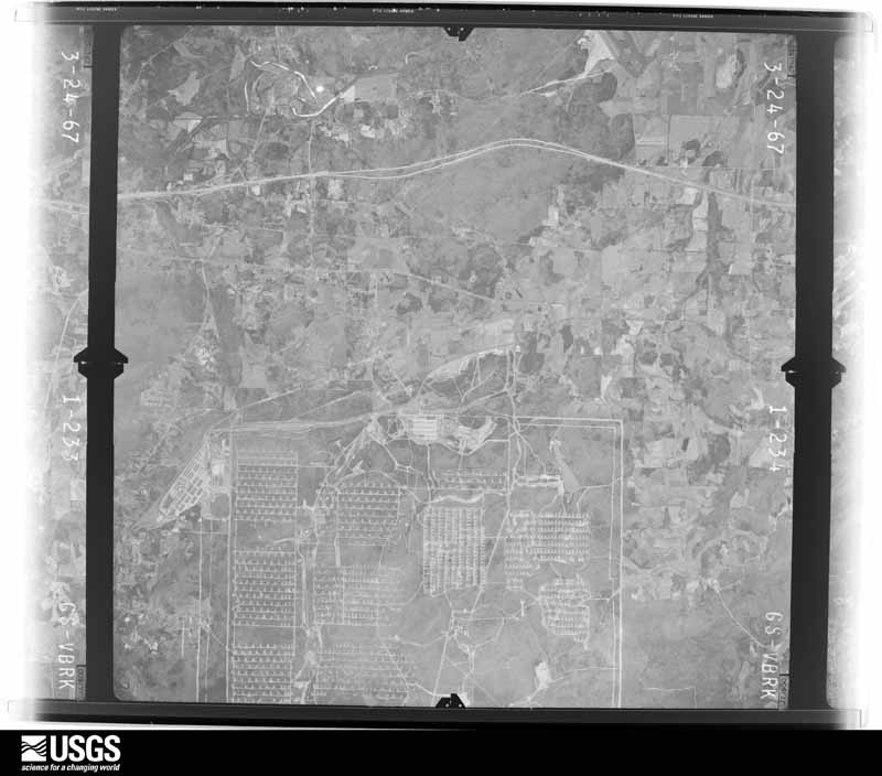
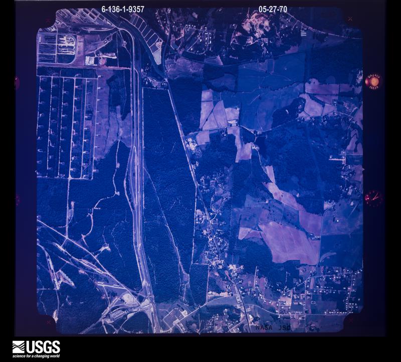
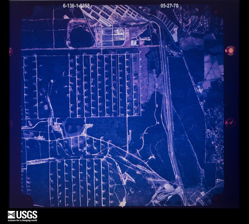
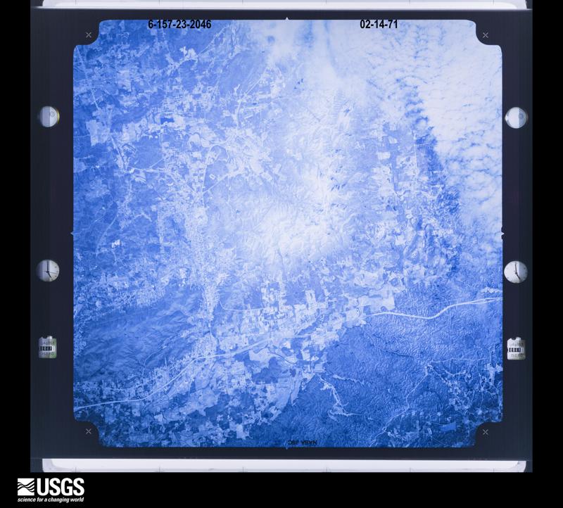
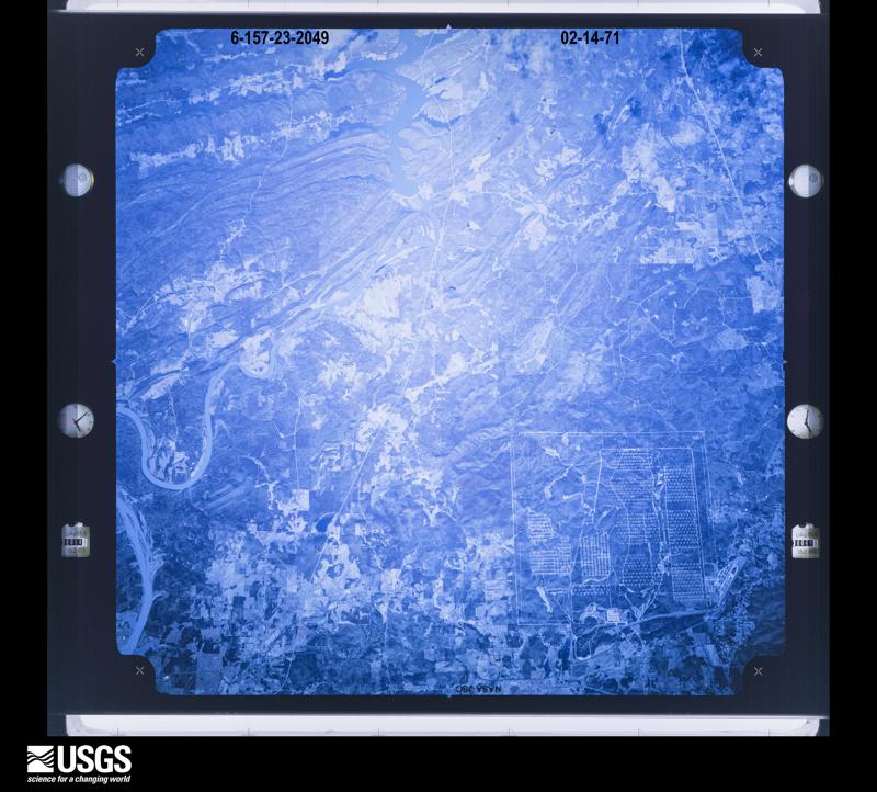
Flown by the U.S. Geological Survey between 1937 and 1989, the Aerial Photo Single Frames collection is the definitive mid-century view of the land: fields, roads and rivers as the camera saw them. The Survey holds 1,421 frames inside the rectangle that bounds this county; the 44 frames below were taken over the county itself, chosen across the decades of flights (at most four a year from that rectangle), so one flight cannot crowd out the rest. The full set is free to browse and download at EarthExplorer under the dataset Aerial Photo Single Frames.
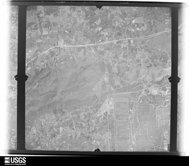
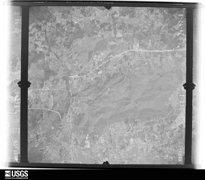
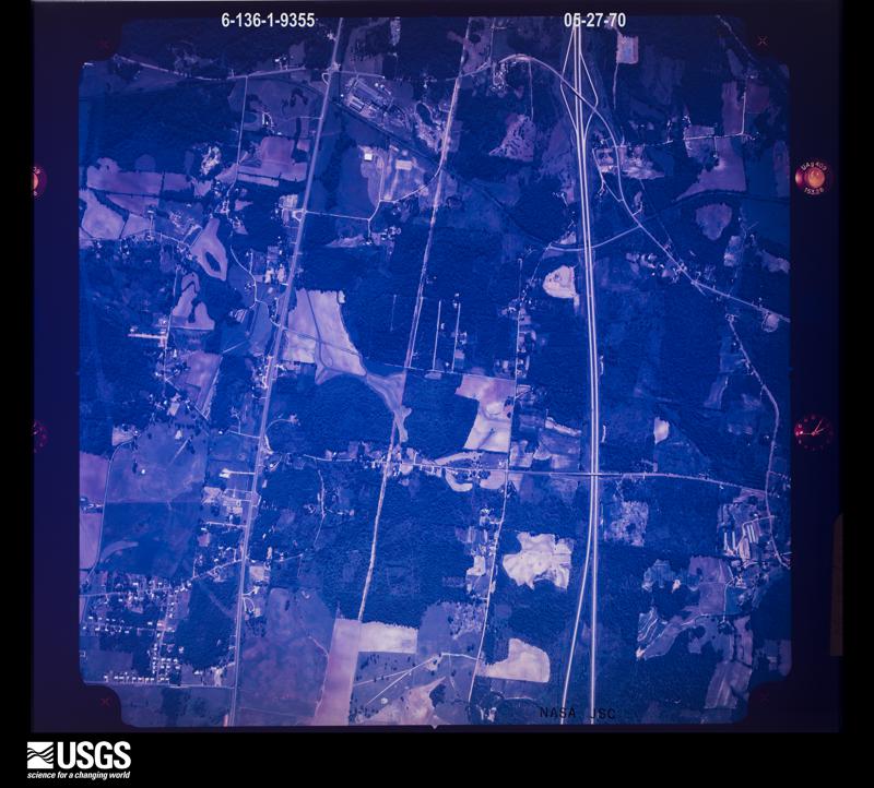
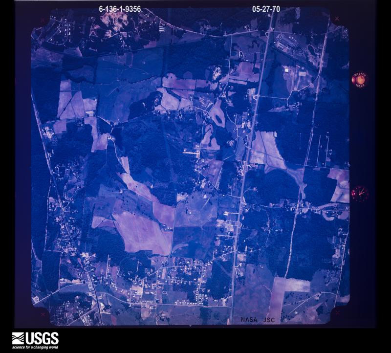


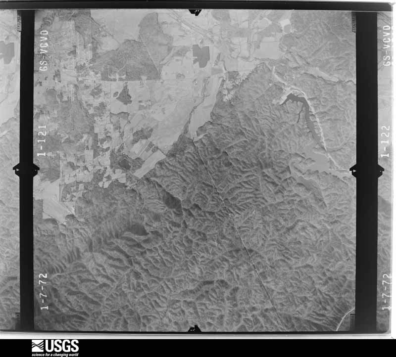
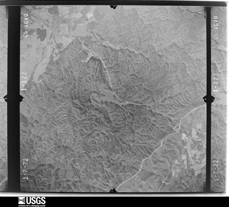
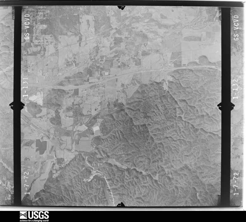
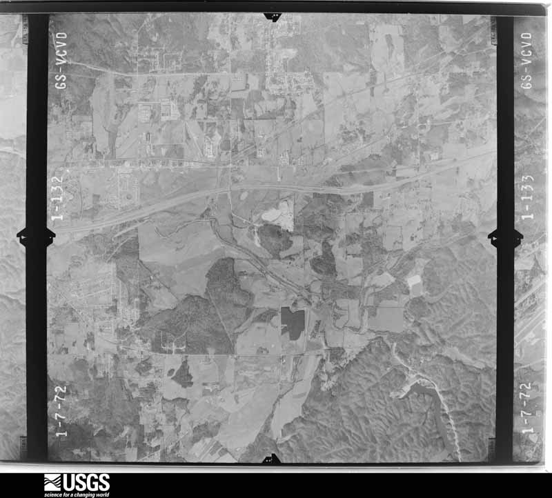
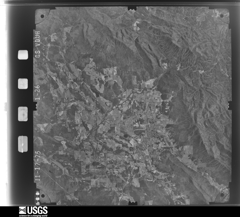
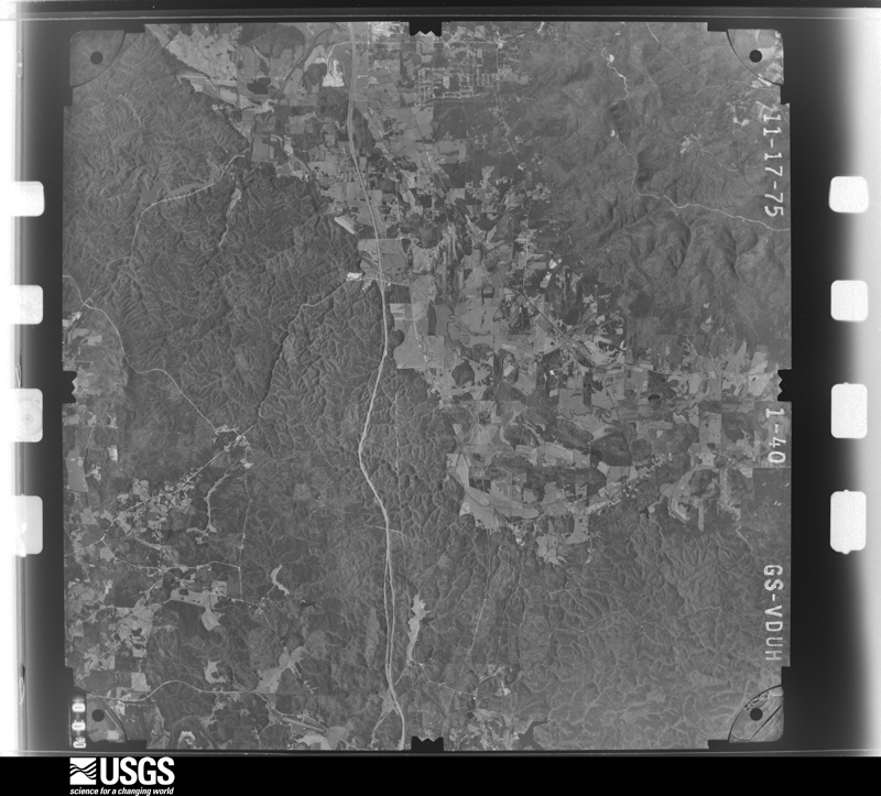
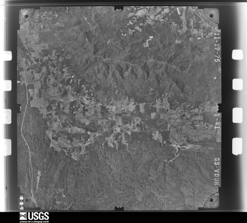
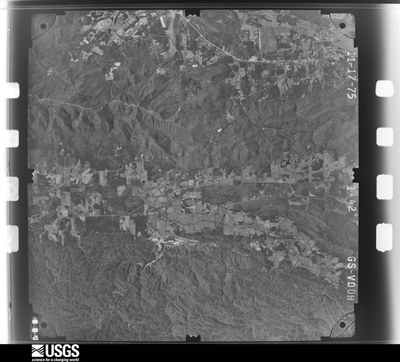
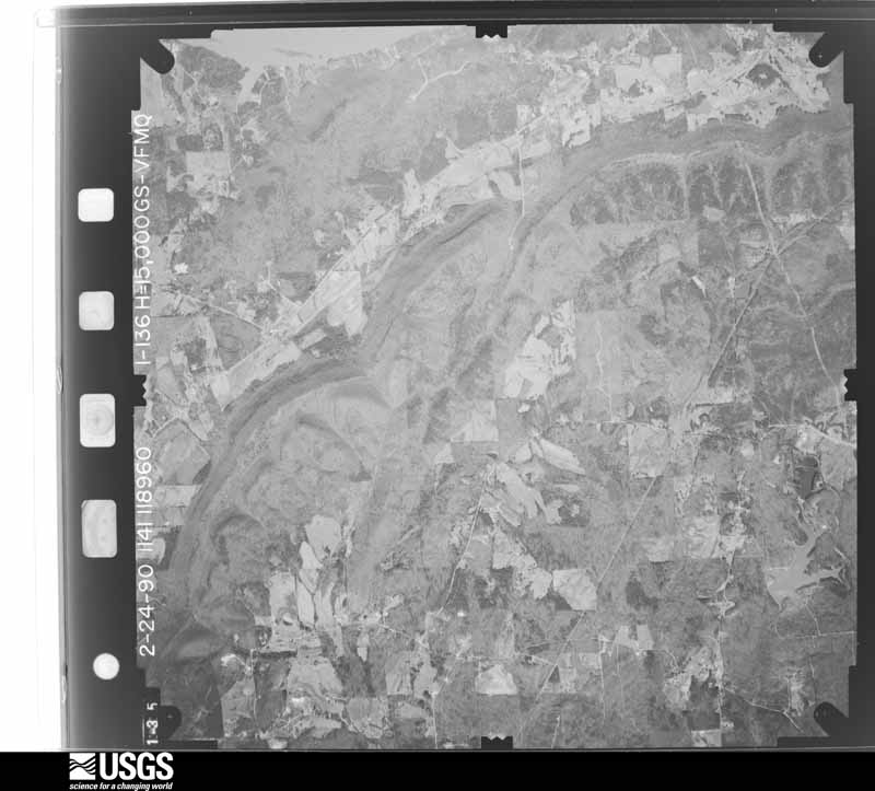
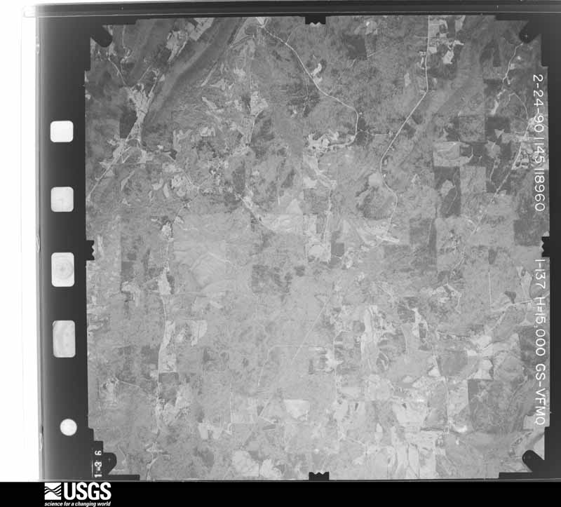
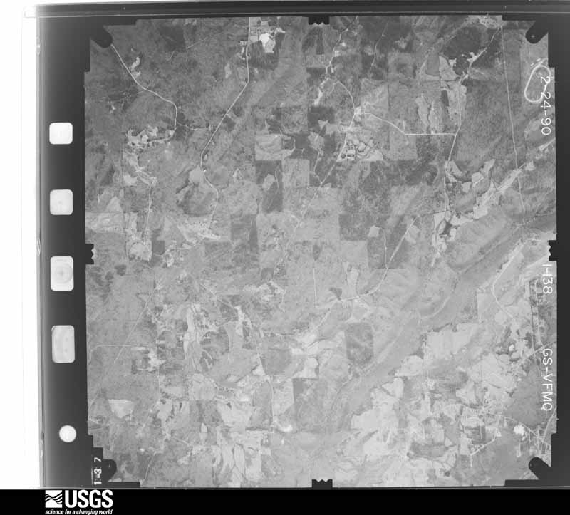
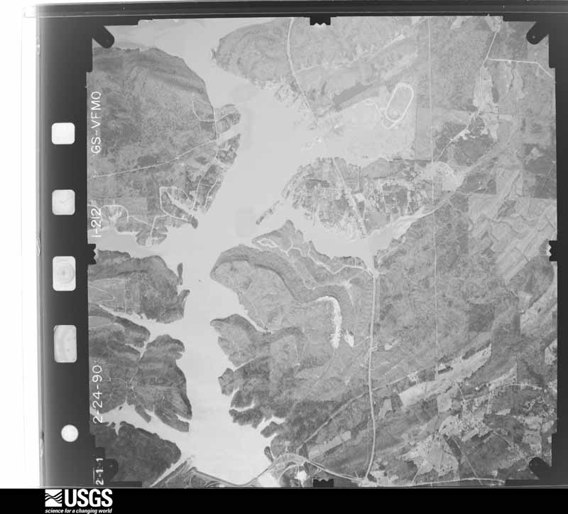
The thermometers that kept this county's weather, and the gages that measured the flow of its streams, as the federal records hold them. The extremes below are measured values from those records, not estimates.
Who lived here in 1950, one enumeration district at a time, as the Census Bureau described each district. Each row opens its official National Archives result, with Population Schedules and ED Maps available there.
Every wildfire the federal occurrence database records inside this county: 1,392 of them, burning about 29,675 acres. 31 started naturally and 467 were recorded as arson. Each settlement page carries the fires within five miles of it.
| Reported cause | Fires |
|---|---|
| Arson/incendiarism | 467 |
| Debris and open burning | 445 |
| Missing data/not specified/undetermined | 216 |
| Recreation and ceremony | 106 |
| Equipment and vehicle use | 65 |
| Natural | 31 |
| Misuse of fire by a minor | 24 |
| Railroad operations and maintenance | 16 |
| Smoking | 16 |
| Other causes | 3 |
| Power generation/transmission/distribution | 3 |
The five largest, by the area the report gives. Three of them were set deliberately.
| Date | Cause | Size | Reported by | Name on the report |
|---|---|---|---|---|
| 27 January 2014 | Missing data/not specified/undetermined | 2,500 acres | Alabama Forestry Commission | NER-20140127-005 |
| 16 November 1996 | Missing data/not specified/undetermined | 1,078 acres | Wheeler National Wildlife Refuge | FM 96-6 |
| 31 January 2012 | Arson/incendiarism | 867 acres | National Forests in Alabama | SMOKE CHASER |
| 25 September 2016 | Equipment and vehicle use | 800 acres | Alabama Forestry Commission | 20160925-18 |
| 27 February 2007 | Arson/incendiarism | 659 acres | National Forests in Alabama | DUGGER MOUNTAIN |
| 19 February 2011 | Arson/incendiarism | 645 acres | National Forests in Alabama | FLEET |
| 28 June 2016 | Missing data/not specified/undetermined | 550 acres | Alabama Forestry Commission | 20160628-5 |
| 10 November 2013 | Recreation and ceremony | 532 acres | National Forests in Alabama | RED MTN. |
Every settlement page carries the fires within five miles of it - see the settlement index below.
The NOAA Storm Events Database holds 478 reports for this county, causing 25 deaths, 152 injuries and about $134,716,530 in recorded property damage. Each settlement page carries the reports that name it.
| Kind of event | Reports |
|---|---|
| Thunderstorm Wind | 242 |
| Hail | 154 |
| Tornado | 32 |
| Flash Flood | 32 |
| Lightning | 8 |
| Funnel Cloud | 6 |
| Flood | 3 |
| Heavy Rain | 1 |
The most serious of them, by death, then injury, then recorded damage. The accounts are quoted exactly as the forecast office filed them.
| When | Event | Place named | Harm | What the report says |
|---|---|---|---|---|
| April 2011 | Tornado (EF4) | Middleton | 8 killed, 25 hurt, $122,000,000 | This tornado initially touched down in eastern Jefferson County, north northeast of Trussville and moved northeast through portions of St. Clair, Calhoun, Etowah and Cherokee Counties, before it moved into Georgia, across Polk, Floyd and Bartow (See Storm Data Peachtree City) Counties. The tornado crossed Neely Henry Lake and into Calhoun County at Eagle Cove Rd., northwest of Ohatchee. At this point, the tornado had winds of 180 mph, an EF4 rating, and a path width of 1 mile. As the tornado crossed AL Hwy 77, numerous homes were leveled and mobile homes were demolished. Trees were left as stumps. Four fatalities occurred in this area. The tornado continued to cause extensive damage as it moved northeast crossing US Hwy 431 at Colwell and CR 23, where several homes and one church were destroyed. Four fatalities occurred in this area. As the tornado approached the Etowah County line, it weakened to an EF2 with winds of 120 mph, but continued to cause damage. Several homes were damaged and one mobile home destroyed along CR 64. The tornado moved into Etowah County east of Cannonball Rd. ||This tornado was produced by a supercell thunderstorm that began in Newton County Mississippi at 13:54 pm CST, and dissipated in Macon County, North Carolina at approximately 21:18 pm CST. This supercell spawned several strong to violent tornadoes along its long path, which included another violent EF4 tornado that crossed portions of Tuscaloosa and western suburbs of the Birmingham. |
| March 2021 | Tornado (EF3) | Boiling Spgs | 6 killed, 10 hurt | National Weather Service meteorologists surveyed damage in Calhoun County and determined that it was consistent with an EF3 tornado, with maximum winds near 140 mph.||The tornado first touched down on Boiling Springs Road snapping and uprooting trees just north of Mitchellville Road. The tornado widened as it traveled northeast damaging structures along Boiling Springs Road, downing trees and power lines. A double wide mobile home was demolished on Simpson Bend Road. The tornado then produced extensive damage in the Macon community, destroying numerous mobile homes with moderate to major damage to several site built homes. In this area, tree damage was also extensive with numerous hardwoods snapped near the base along Ragan Chapel Road. As the tornado approached Highway 77, it reached its maximum intensity and was likely multi-vortex in nature based on the damage pattern. Here, a large swath of trees were snapped. A large factory, Precision Materials, sustained major damage. The entire structure and supporting frame of this large well built metal building was collapsed and bent inward. The owner said they received the tornado warning and moved all employees into a safe shelter in the interior of the building before the tornado hit. None of the occupants were injured. A large tractor trailer at this location was also partially lofted and then dragged 60 feet. The damage at this location was rated EF-3 . The tornado crossed County Road 77, with damage to several homes along Ragans Chapel Road. At least two homes sustained significant damage with most of their roof removed and windows blown out. A large farm building was also demolished. Ragans Chapel UMC, a structure dating back to the late 1800s, sustained major damage with most walls collapsed. The caretakers home behind the church sustained major damage.||Along Mudd Street, several mobile homes were completely destroyed. A fatality occurred in one unanchored tiny home when the structure completely collapsed. Additional site built homes in the area from Mudd Street to Lost Creek Road sustained significant damage. The tornado continued northeast over mainly forested areas snapping and uprooting large swaths of trees. A wide expanse of damage was noted from Dark Hollow Road and Boiling Springs Road. Here many power lines were downed and poles snapped. Several site built homes sustained roof and structural damage, farm buildings and sheds were destroyed, and a mobile home was completely destroyed.||Significant damage was noted along Ingram Wells Road and Grayton Road South. Along Ingram Wells Road several homes were damaged and outbuildings destroyed. Along Grayton Road several mobile homes were destroyed with the undercarriages and contents blown well downstream. A doublewide mobile home also sustained significant damage. Three fatalities occurred here along with multiple significant injuries. A wide swath of tree damage continued along Grayton Road South and Mountain View Road.||The tornado then moved into the Wellington community as it crossed US Highway 431. Here several site built homes sustained moderate damage with partial loss of roof structures. Many power poles were also snapped along with damage to a convenience store. Significant damage was noted along Joe Martin Drive and Wellington Road. One site built home sustained collapse of most walls and cars were tossed. Six occupants sheltered safely in an interior closet. Additional homes sustained roof damage with one moved well off its foundation. Several mobile homes were completely destroyed. One occupant was killed near Mangum Road, but 13 others survived after sheltering in a family storm pit.||A wide swath of damage continued from East Wellington into Pleasant Valley with mobile homes destroyed along Old Sulphur Springs Road and site built homes with roof and structural damage. Trees were snapped and uprooted along County Road 204 along with damage to structures. Chicken houses were destroyed along Pleasant Valley Road, along with substantial damage to a church and business along Angel Drive. The tornado continued northeastward where additional damage was observed along Nisbet Lake Road, Dogwood Lane, and Charlie Penny Road. This was mostly timber damage where the tornado uprooted and snapped hundreds of trees. Varying degrees of minor structure damage was observed here as well. Farther northeast, the tornado moved toward New Liberty and Roy Webb Rd where damage was sustained at Learning Tree. The tornado continued northeast crossing Old Piedmont Gadsden Highway and US Hwy 278. Several swaths of timber damage was observed throughout these areas as well as minor damage to a few homes. The tornado crossed into southern Cherokee County just west of Highway 9. |
| August 1986 | Thunderstorm Wind | not stated | 3 killed, 1 hurt | no account filed |
| August 1986 | Thunderstorm Wind | not stated | 3 killed, 1 hurt | no account filed |
| December 1983 | Tornado (F3) | not stated | 2 killed, 51 hurt, $2,500,000 | no account filed |
| April 2000 | Tornado (F2) | Piedmont | 1 killed, 6 hurt, $300,000 | no account filed |
| April 2011 | Tornado (EF1) | Maxwellborn | 1 killed, 1 hurt, $4,000,000 | This tornado initially touched down in eastern Jefferson County, north northeast of Trussville and moved northeast through portions of St. Clair, Calhoun, Etowah and Cherokee Counties. The tornado then moved into Georgia, across Polk, Floyd and Bartow (See Storm Data Peachtree City) Counties. The tornado moved into Calhoun County for the second time, where it quickly tracked across the far northwestern corner of the county, west of Knightens Crossroads. As the tornado crossed US Hwy 278, several homes sustained significant roof damage, consistent with an EF1 rating and winds of 95 mph. Additional homes were damaged along the Calhoun/Cherokee County line. Significant tree damage was noted along this portion of the path. The tornado crossed into Cherokee County north of the intersection of US Hwy 278 and CR 19. One fatality occurred along this portion of the tornado path.||This tornado was produced by a supercell thunderstorm that began in Newton County Mississippi at 13:54 pm CST, and eventually dissipated in Macon County, North Carolina at approximately 21:18 pm CST. This supercell spawned several strong to violent tornadoes along its long path, which included another violent EF4 tornado that crossed portions of Tuscaloosa and western suburbs of the Birmingham. |
| November 2004 | Tornado (F2) | Bynum | 1 killed, $85,000 | no account filed |
| December 1954 | Tornado (F3) | not stated | 26 hurt, $250,000 | no account filed |
| April 1989 | Thunderstorm Wind | not stated | 8 hurt | no account filed |
| November 2001 | Tornado (F1) | Alexandria | 5 hurt, $250,000 | A supercell thunderstorm produced a tornado just north of Anniston in Calhoun County. The tornado began at 4:03 pm near Cane Creek and US 431. The tornado proceeded northeast and ended at 4:10 pm near Broadwells Mill just west of Jacksonville. Preliminary estimates have 10 to 20 homes damaged, numerous outbuildings and barns destroyed, and several mobile homes damaged. Two farming operations had several buildings destroyed. A cemetery on US 431 sustained damage and 5 people received minor injuries when struck by flying debris. The tornado was 7.7 miles long and 250 yards wide at its widest point. Beg: 33 44.218/85 53.709 End: 33 48.425/85 47.488 |
| April 1985 | Thunderstorm Wind | not stated | 5 hurt | no account filed |
| March 2018 | Tornado (EF3) | Reads Mill | 4 hurt | National Weather Service meteorologists surveyed damage in northern Calhoun Calhoun County and determined that the damage was consistent with an EF3 tornado, with maximum sustained winds near 150 mph. The tornado first touched down west of US Highway 431 north of town of Wellington, where it rapidly intensified and widened. It snapped and uprooted numerous trees along US Highway 431. Several homes were damaged by the falling trees. The tornado proceeded eastward across Websters Road and Broughton Road with scattered tree damage. As the tornado crossed Old Sulphur Springs Road, two homes were damaged with scores of trees snapped or uprooted. At Angel Station Road, the tornado filled the valley from one side to the other and caused extensive tree and home damage. An electrical transmission tower line was toppled at this point, but it was believed that flying debris compromised the structure. The tornado continued eastward and destroyed the sanctuary at West Point Baptist Church. Additional structures were severely damaged at the church. The tornado entered the City of Jacksonville where it gained strength into the EF3 category, with winds around 140 mph. It removed most of the roof and the top floor of two buildings in an apartment complex. The tornado affected the entire campus of Jacksonville State University. Several buildings sustained significant damage. The most intense winds remained north of the campus however, mowing down trees and causing direct damage to homes. As the tornado crossed Highway 21, it caused caused major damage to the Merrill Building. It then moved into a highly populated zone, where scores of homes suffered major damage and rendered uninhabitable. The tornado maintained its strength as it crossed Choccolocco Mountain, and winds funneled up the valley uprooting or snapping trees. It caused major damage to a number of homes on the mountainside. Damaged continued all the way up to just south of the peak of the mountain. As the tornado moved down the eastern side of Choccolocco Mountain, it narrowed substantially and became stronger once it reached the valley below. Stands of trees were wiped out with trunks snapped relatively close to ground level. Perhaps the most intense damage along the entire track occurred along Hollingsworth Road, where a site built home was completely destroyed with only a portion of one interior wall left standing. Debris from this home was blown downstream across a field with some evidence of wind rowing. Hay bales adjacent to the home, estimated at 800 pounds each, were thrown up to 300 yards to the east. Maximum winds at this location were estimated at 150 mph. The tornado continued east-southeast and downed thousands of trees in the Talladega National Forest and crossed into Cleburne County just south of County Road 534. |
| March 2003 | Tornado (F1) | White Plains | 3 hurt, $200,000 | no account filed |
| June 2004 | Lightning | Jacksonville | 3 hurt, $20,000 | Lightning struck the Mount Sinai Baptist Church as 50 people were eating dinner. The lightning blew a hole in a wall and a few people were hit with debris. All injuries were deemed minor. The lightning damaged a few walls and ignited a small fire. |
| November 1967 | Tornado (F2) | not stated | 2 hurt, $250,000 | no account filed |
| August 2002 | Lightning | Angel | 1 hurt | Calhoun County 911 reported that a 53-year-old man was struck by lightning in Angel while working on a car. The man was knocked unconscious and was reportedly not breathing when emergency personnel arrived. The man was transported to the hospital where he was discharged later that evening. |
| May 2003 | Flash Flood | Countywide | $700,000 | no account filed |
| July 2007 | Lightning | Saks | $500,000 | Lightning struck a house in the Indian Oaks area of Saks, causing it to catch fire. The fire completely destroyed the attic and second story of the home, which collapsed onto the first floor, causing extensive damage throughout. The owners, after first attempting to extinguish the fire, escaped unharmed. |
| February 2008 | Thunderstorm Wind | (Anb)Anniston Calhou | $260,000 | Wind damage was widespread from near the Anniston/Oxford Airport, eastward to Douglas Drive and Glover Drive, southeast of Oxford. Most of the damage near the airport was in the form of snapped and uprooted trees and broken tree limbs. There were some blown down signs and some damage to billboards. Farther to the east, numerous oak trees were uprooted and numerous pine trees were snapped, with an estimated 50 to 100 trees damaged total. There was some roof damage to a few homes, a roof was blown off a barn, and a few fences were also blown down. |
| May 2003 | Hail | Countywide | $250,000 | Large hail fell across many locations in eastern and southern Calhoun County. The largest hail reported was golf ball size and in many spots the hail covered the ground. A few homes received roof damage from the large hail. Some locations that reported hail were Jacksonville, Anniston, Oxford, Alexandria, and Weaver. Several funnel cloud reports were received as these storms moved across the county. Several trees and power lines were also blown down leaving as many as 1000 customers temporarily without power. |
| April 1985 | Tornado (F2) | not stated | $250,000 | no account filed |
| December 1969 | Tornado (F2) | not stated | $250,000 | no account filed |
| December 1961 | Tornado (F3) | not stated | $250,000 | no account filed |
| January 2009 | Thunderstorm Wind | (Anb)Anniston Calhou | $160,000 | A few dozen large trees were uprooted or snapped along a 1.5 mile long, half mile wide, swath of damage near the city of Oxford. One mobile home was destroyed when a tree fell on it, and an apartment complex also sustained damage from falling trees. In all, at least 3 dozen structures sustained varying degrees of damage, most of it roof damage. Maximum winds were estimated around 85 mph, although most locations experienced winds around 50 mph. |
| August 2008 | Tornado (EF1) | Choccolocco | $150,000 | The tornado touched down on Cross Creek Road, just east of Choccolocco Road. It then moved north-northwestward, roughly parallel to Choccolocco Road, and lifted near the intersection of Choccolocco Road and Cobb Road. One auto shop was destroyed and two houses sustained moderate damage. Additionally, one home suffered light damage and 50 to 100 trees were snapped off or uprooted along the path. This tornado was associated with the remnants of Tropical Storm Fay. |
| August 2005 | Tornado (F1) | Piedmont | $115,000 | National Weather Service meteorologists conducted a ground survey on Tuesday August 30, 2005. It has been determined that an F1 tornado occurred with winds estimated around 80 miles an hour in Calhoun County. The tornado touched down at approximately 353 PM CDT, just east of State Highway 9 in the Nances Creek community. This is about 6 miles southwest of Piedmont. The tornado crossed State Highway 9 moving northwest and damaged three homes along Hollingsworth Road. The tornado lifted around 356 PM CDT near Hurricane Mountain. The tornado damage path was 1.52 miles long and 30 yards wide at its widest point. Several trees were uprooted or snapped off along the path of the tornado. At least two homes and a mobile home were damaged along Hollingsworth Road.Begin: 33 50.84/85 39.70 End: 33 51.96/85 40.54 |
| February 2008 | Thunderstorm Wind | Saks | $100,000 | Saks High School sustained significant roof damage due to thunderstorm winds estimated at 80 mph, with one of the school's offices destroyed. |
| June 2007 | Thunderstorm Wind | Piedmont | $100,000 | In the Piedmont and Vigo areas of northern Calhoun County, one home had its roof completely blown off, one barn had its roof blown off, a few homes had shingle damage, one tree fell on a mobile home, and several more trees and power lines were blown down. |
| May 2003 | Hail | Piedmont | $100,000 | Very large hail fell across extreme northern Calhoun County. A majority of the hail was golf ball size and covered the ground in a few locations. A few reports were received that a couple of the pieces of hail were softball size. Most of the hail was thrown out of a storm located farther north in Cherokee County and little rain was observed with this storm. |
| July 1995 | Thunderstorm Wind | Anniston | $85,000 | Thunderstorm wind downed trees in Anniston including one that fell on two cars and one that fell on a house causing substantial damage. Lightning also struck one house causing a fire. |
| April 1998 | Tornado (F1) | Oxford | $75,000 | A small tornado developed over the Wellborn community. The Wellborn High School and Elementary School suffered extensive damage and the House of Prayer church in Wellborn had its roof blown partly off. The high school had damage done to its roof, air conditioning system and the softball field. |
| May 2003 | Lightning | Anniston | $75,000 | no account filed |
| April 2006 | Thunderstorm Wind | Ohatchee | $50,000 | A discount store suffered significant damage when winds estimated at 70 mph picked up rocks and blew them into the store front windows. The winds then blew out the right side of the building, and the aluminum beam framework twisted causing the wall to cave in. |
| May 1994 | Thunderstorm Wind | not stated | $50,000 | Golf ball-size hail was reported just north of Jacksonville by Alabama state troopers. Calhoun County Emergency Management reported numerous trees down in northern Calhoun County in the Pleasant Valley area. |
| April 1994 | Thunderstorm Wind | not stated | $50,000 | Trees were downed along with power lines in southern Calhoun County during a thunderstorm. Public reports to 911 of funnel clouds south-southeast of Jacksonville. |
| June 1994 | Thunderstorm Wind | Piedmont | $50,000 | A portion of the roof of a convenience store was ripped away by thunderstorm wind. Several windows were blown out and some trees were blown down in the area. |
| August 2003 | Lightning | Ohatchee | $48,000 | no account filed |
| May 2003 | Flash Flood | Countywide | $45,000 | Heavy rain in a short period of time produced flooding across Calhoun County. Several roads were temporarily impassable due to high water. One bridge was flooded. One mobile home was flooded. The storms knocked out power to an estimated 8,000 customers. Snow Creek rose above bank full and flooded a few vehicles. The Ohatchee Youth Sports Facility was flooded causing extensive damage. |
| February 2005 | Hail | Weaver | $40,000 | Pea to golf ball size hail fell from near Anniston to Weaver. Several vehicles were damagedby the large hail. |
| April 1995 | Thunderstorm Wind | Anniston | $40,000 | Several buildings were damaged as well as numerous trees and power lines downed by thunderstorm wind according to the emergency management office. Winds gusted to 66 mph in Anniston. |
| July 2004 | Thunderstorm Wind | Countywide | $34,000 | A few homes suffered varying degrees of roof damage in Alexandria. A trained spotter reportedestimated wind gusts of 50 to 60 miles an hour in Anniston. Pea size hail was also observedwith this storm in Anniston. A few trees were knocked down across the remainder of the county. |
| August 2003 | Thunderstorm Wind | Ohatchee | $32,000 | no account filed |
| May 2003 | Lightning | Anniston | $30,000 | A storage building at the Anniston Museum of Natural History was struck by lightning and subsequently burned to the ground. The storage building mainly housed landscaping tools and machinery. |
| January 1998 | Flash Flood | Countywide | $30,000 | no account filed |
| April 2000 | Thunderstorm Wind | Jacksonville | $25,000 | Thunderstorm wind downed a number of trees in the Covey Rise area of the Angel Grove community north of SR 204 northwest of Jacksonville. The downed trees damaged several houses and took out a number of power lines. Two greenhouses were heavily damaged by the wind. |
| July 2000 | Thunderstorm Wind | Countywide | $25,000 | Several trees and power lines were knocked down throughout the entire county. |
| May 1996 | Thunderstorm Wind | Piedmont | $25,000 | no account filed |
| March 1982 | Tornado (F1) | not stated | $25,000 | no account filed |
| March 1976 | Tornado (F2) | not stated | $25,000 | no account filed |
| March 1967 | Tornado (F2) | not stated | $25,000 | no account filed |
| April 1964 | Tornado (F2) | not stated | $25,000 | no account filed |
| May 2003 | Thunderstorm Wind | Countywide | $20,000 | Numerous trees and power lines were blown down across the county. Pea size hail accompanied the storm. |
| June 1998 | Thunderstorm Wind | Piedmont | $20,000 | Trees and power lines were down in Piedmont. |
| June 1998 | Thunderstorm Wind | Anniston | $20,000 | no account filed |
| April 1996 | Thunderstorm Wind | Anniston | $20,000 | no account filed |
| June 2004 | Thunderstorm Wind | Countywide | $18,000 | Numerous trees were knocked down across the county. One building was damaged in Oxford from the fallen trees. |
| November 2004 | Flash Flood | Countywide | $18,000 | Numerous roads were reported covered with water and were temporarily impassable. Doppler radar estimated widespread rain amounts of 3 to 4 inches with a few spots approaching 7 inches. Several area streams and creeks rose above bankfull. Runoff from these storms lasted for several hours after the heaviest rains ended. |
| February 1999 | Thunderstorm Wind | Ohatchee | $18,000 | Several trees were down from Ohatchee to Alexandria in eastern Calhoun County. One mobile home had its roof torn off in Alexandria. |
| November 2004 | Thunderstorm Wind | Jacksonville | $17,000 | Several trees and power lines were blown down in and around Jacksonville. A few homes suffered minor roof damage. |
The Survey's mineral resources record lists 299 workings inside this county. 15 still produce and 284 are closed or unrecorded. Each settlement page carries the workings within five miles of it.
| Commodity | Workings |
|---|---|
| Iron | 196 |
| Barium-Barite | 30 |
| Aluminum | 20 |
| Manganese | 12 |
| Lead | 11 |
| Clay | 11 |
| Sand and Gravel, Construction | 9 |
| Kaolin | 8 |
| Zinc | 6 |
| Stone, Crushed/Broken | 4 |
| Manganese, Iron | 3 |
| Lead, Zinc | 2 |
| Silica | 2 |
| Iron, Manganese | 2 |
The least common of them first, because a county's hundredth gravel pit says nothing its first ten did not.
| Where | Site | Commodity | Status | Recorded |
|---|---|---|---|---|
| Burke Estate | Cobalt, Nickel | Occurrence | ||
| Burke Estate | Cobalt, Nickel | Occurrence | ||
| No Name | Iron, Barium-Barite | Past Producer | Residual | |
| Old Lead Mine | Lead, Barium-Barite, Zinc, Limestone, General | Past Producer | 1860 | |
| Tom Moore | Lead, Barium-Barite | Past Producer | 1916 | |
| Unnamed Prospect | Zinc, Lead | Past Producer | 1863 | |
| Wellington Prospect | Lead, Zinc, Limestone, General | Occurrence | ||
| Cedar Springs Prospect | Lead, Zinc, Barium-Barite | Occurrence | ||
| Horace Davis Prospect | Iron, Manganese | Past Producer | 1949 | |
| Industrial Filler Co. Mine | Silica | Past Producer | Quartz | |
| Knighton Deposit | Iron, Manganese | Prospect | 1953 | |
| Mohawk Pit | Silica | Producer | Unconsolidated Sediments | |
| Old Lead Mine | Lead, Zinc | Past Producer | 1850 | |
| Cowan Prospect | Manganese, Iron | Prospect | 1949 | |
| Nesbitt Lake Manganese Prospect | Manganese, Iron | Occurrence | 1980 | |
| Not Known, Ammiston Area | Manganese, Iron | Past Producer | Residual | |
| Ohatchee Quarry | Stone, Crushed/Broken | Producer | ||
| Oxford Quarry | Stone, Crushed/Broken | Producer | ||
| Quarry | Stone, Crushed/Broken | Past Producer | ||
| Quarry | Stone, Crushed/Broken | Past Producer | ||
| Pelham Range Lead Prospect | Lead, Zinc | Occurrence | Galena, Sphalerite | |
| Unnamed Prospect | Lead, Zinc | Occurrence | ||
| Unnamed Prospect | Lead, Zinc | Occurrence | ||
| Unnamed Prospect | Lead, Zinc | Occurrence | ||
| Unnamed Prospect | Lead, Zinc | Occurrence | ||
| Unnamed Prospect | Lead, Zinc | Occurrence | ||
| Alabama Mineral Land Co. Prospect | Aluminum, Kaolin | Prospect | ||
| Carter Street Deposit | Aluminum, Kaolin | Prospect | ||
| De Armanville Prospect | Aluminum, Kaolin | Prospect | ||
| Dothard Prospect | Aluminum, Kaolin | Prospect | ||
| Eulation Pike Deposit | Aluminum, Kaolin | Prospect | ||
| Parkwin Street Deposit | Aluminum, Kaolin | Prospect | ||
| Skinner Deposit | Aluminum, Kaolin | Prospect | ||
| Th Street Deposit | Aluminum, Kaolin | Prospect | ||
| Austin Pit | Sand and Gravel, Construction | Producer | ||
| Bennett Pit | Sand and Gravel, Construction | Producer | ||
| Cobb Pit | Sand and Gravel, Construction | Producer | Unconsolidated Sediments | |
| Cobb Pit | Sand and Gravel, Construction | Producer | ||
| Mohawk Pit | Sand and Gravel, Construction | Producer | 1949 | |
| Sand Pit | Sand and Gravel, Construction | Past Producer | ||
| Sand and Gravel Pit | Sand and Gravel, Construction | Past Producer | ||
| Sand and Gravel Pit | Sand and Gravel, Construction | Past Producer | ||
| Sand and Gravel Pit | Sand and Gravel, Construction | Past Producer | ||
| Angel Mine | Barium-Barite, Lead | Past Producer | Barite, Galena | |
| Braughton Prospect | Lead | Past Producer | Surface | |
| Cal 1 Clay Prospect | Clay | Prospect | ||
| Cal 3 Clay Prospect | Clay | Prospect | ||
| Dixie Pit | Clay | Producer | ||
| Donoho Mine | Clay | Producer | ||
| Dubois Mine | Clay | Past Producer | ||
| Frame Brick Co. Pit | Clay | Producer | ||
| Frame Brick Co.Pit | Clay | Producer | ||
| Frame Mine | Clay | Producer | ||
| Lackey Pit | Clay | Producer | ||
| No Name | Lead | Past Producer | Galena | |
| Old Lead Mines | Lead, Barium-Barite | Past Producer | Barite | |
| Stewart Mine | Clay | Producer | ||
| Unnamed Mine | Clay | Past Producer | ||
| Anniston Pits | Iron, Manganese | Past Producer | 1875 | |
| Coleman Property | Manganese | Past Producer | 1930 | |
| Ezzell Prospect | Manganese | Prospect | 1949 | |
| Grady Norton | Manganese | Past Producer | 1917 | |
| Janey Iron Mine | Iron, Manganese | Past Producer | ||
| Knighten Deposit | Manganese | Occurrence | Wad | |
| No Name | Iron, Manganese | Past Producer | Residual | |
| Norton Deposit | Manganese | Past Producer | Surface | |
| Norton No.2 Property | Manganese | Prospect | 1942 | |
| Pryor Mine/Norton Deposit/Davis Gap | Iron, Manganese | Past Producer | Hematite | |
| Uncertain, Anniston Area | Iron, Manganese | Past Producer | Residual | |
| Woodward Iron Property | Manganese | Prospect | 1942 | |
| Baker-Rhodes Prospect | Aluminum | Occurrence | ||
| Boozer Prospect | Aluminum | Prospect | ||
| Borden Prospect | Aluminum | Occurrence | ||
| Hudson Prospect | Aluminum | Occurrence | ||
| J F Crow Prospect | Aluminum | Occurrence | ||
| Kitchens Prospect | Aluminum | Prospect | ||
| Love Prospect | Aluminum | Prospect | ||
| Mcclellan Prospect | Aluminum | Occurrence | ||
| Peaceburg Alumina Prospect | Aluminum | Occurrence | ||
| Stringfellow Deposit | Aluminum | Prospect | ||
| Unnamed Prospect | Aluminum | Prospect | ||
| Walker Pits | Aluminum | Past Producer | ||
| A A Williams Mine | Barium-Barite | Past Producer | ||
| A. A. Williams | Barium-Barite | Past Producer | Residual | |
| Albert Taylor Prospect | Barium-Barite | Prospect | ||
| Angel Mine Tullis Or T.C. Moore | Barium-Barite | Past Producer | Residual | |
| Bertha Mineral Co Willingham Or Gory | Barium-Barite | Past Producer | Residual | |
| Bertha Mineral Company Mine | Barium-Barite | Past Producer | ||
| Bud Clark Mine | Barium-Barite | Past Producer | ||
| Egbert & Isaac Clark Prospect | Barium-Barite | Occurrence | ||
| Evans Barite Mine | Barium-Barite | Past Producer | 1919 | |
| Gorey Pit | Barium-Barite | Past Producer | ||
| J F Noah Prospect | Barium-Barite | Occurrence | ||
| J L Johnson Mine | Barium-Barite | Past Producer | ||
| Martha Stone Prospect | Barium-Barite | Occurrence | ||
| Milt Phillips Prospect | Barium-Barite | Prospect | ||
| Mrs. Fannie Broughton Prospect | Barium-Barite | Prospect | ||
| S J Clark Prospect | Barium-Barite | Occurrence | ||
| Tom Walker Prospect | Barium-Barite | Prospect | ||
| Unnamed Prospect | Barium-Barite | Occurrence | ||
| Unnamed Prospect | Barium-Barite | Occurrence | ||
| Unnamed Prospect | Barium-Barite | Occurrence | ||
| Unnamed Prospect | Barium-Barite | Occurrence | ||
| Unnamed Prospect | Barium-Barite | Occurrence | ||
| Unnamed Prospect | Barium-Barite | Occurrence | ||
| Unnamed Prospect | Barium-Barite | Occurrence | ||
| Unnamed Prospect | Barium-Barite | Occurrence | ||
| Unnamed Prospect | Barium-Barite | Occurrence | ||
| Amminston Area | Iron | Past Producer | Residual | |
| Brook Mountain | Iron | Unknown | ||
| Cane Creek Mines | Iron | Past Producer | 1840 | |
| Cane Creek Mines | Iron | Past Producer | Residual | |
| Colvin Mountain-Calhoun County | Iron | Unknown | ||
| Cottaquilla Mountain | Iron | Unknown | ||
| Edmundson Banks | Iron | Past Producer | Residual | |
| Francis | Iron | Unknown | ||
| Gladden Property | Iron | Past Producer | Residual | |
| Hewitt Limonite Bank | Iron | Past Producer | Residual | |
| Ingram Wells | Iron | Unknown | ||
| Iron City Mines | Iron | Past Producer | Goethite, Magnetite | |
| Landrum Limonite Bank | Iron | Past Producer | Residual | |
| Laney Mine | Iron | Past Producer | ||
| Laney Openings | Iron | Past Producer | Hematite | |
| Leach Bank/Williams Bank | Iron | Past Producer | Residual | |
| Leatherwood Banks | Iron | Past Producer | Residual | |
| Mundy Brown Iron Deposit | Iron | Occurrence | ||
| No Name | Iron | Past Producer | Residual | |
| No Name | Iron | Past Producer | Residual | |
| No Name | Iron | Past Producer | Residual | |
| No Name | Iron | Past Producer | Residual | |
| No Name | Iron | Past Producer | Residual | |
| No Name | Iron | Past Producer | Residual | |
| No Name | Iron | Past Producer | Residual | |
| Not Known, Anniston Area | Iron | Past Producer | Residual | |
| Pentegrass Or Dunn Beds | Iron | Past Producer | Residual | |
| Phillips Gap Prospects | Iron | Prospect | ||
| Pine Grove Church Beds | Iron | Past Producer | Residual | |
| Pruett Limonite Bank/Woodstock Bank | Iron | Past Producer | Residual | |
| Pryor Mine | Iron | Past Producer | ||
| Scarborough Iron Mine | Iron | Past Producer | ||
| Shelton Mines | Iron | Past Producer | Residual | |
| Skinner Pit No. 2 | Iron | Past Producer | ||
| Skinner Pit No. 3 | Iron | Past Producer | ||
| Skinner Pit No. 4 | Iron | Past Producer | ||
| Skinner Pit-No. 1 | Iron | Past Producer | ||
| Uncertain, Anniston Area | Iron | Past Producer | Residual | |
| Uncertain, Anniston Area | Iron | Past Producer | Residual | |
| Uncertain, Anniston Area | Iron | Past Producer | Residual | |
| Uncertain, Anniston Area | Iron | Past Producer | Residual | |
| Uncertain, Anniston Area | Iron | Past Producer | Residual | |
| Uncertain, Anniston Area | Iron | Past Producer | Residual | |
| Unnamed | Iron | Unknown | ||
| Unnamed | Iron | Unknown | ||
| Unnamed | Iron | Unknown | ||
| Unnamed | Iron | Unknown | ||
| Unnamed | Iron | Unknown | ||
| Unnamed | Iron | Unknown | ||
| Unnamed | Iron | Unknown | ||
| Unnamed | Iron | Unknown | ||
| Unnamed | Iron | Unknown | ||
| Unnamed | Iron | Unknown | ||
| Unnamed | Iron | Unknown | ||
| Unnamed | Iron | Unknown | ||
| Unnamed | Iron | Unknown | ||
| Unnamed | Iron | Unknown | ||
| Unnamed | Iron | Unknown | ||
| Unnamed | Iron | Unknown | ||
| Unnamed | Iron | Unknown | ||
| Unnamed | Iron | Unknown | ||
| Unnamed | Iron | Unknown | ||
| Unnamed | Iron | Unknown | ||
| Unnamed | Iron | Unknown | ||
| Unnamed | Iron | Unknown | ||
| Unnamed | Iron | Unknown | ||
| Unnamed | Iron | Unknown | ||
| Unnamed | Iron | Unknown | ||
| Unnamed | Iron | Unknown | ||
| Unnamed | Iron | Unknown | ||
| Unnamed | Iron | Unknown | ||
| Unnamed | Iron | Unknown | ||
| Unnamed | Iron | Unknown | ||
| Unnamed | Iron | Unknown | ||
| Unnamed | Iron | Unknown | ||
| Unnamed | Iron | Unknown | ||
| Unnamed | Iron | Unknown | ||
| Unnamed | Iron | Unknown | ||
| Unnamed | Iron | Unknown | ||
| Unnamed | Iron | Unknown | ||
| Unnamed | Iron | Unknown | ||
| Unnamed | Iron | Unknown | ||
| Unnamed | Iron | Unknown | ||
| Unnamed | Iron | Unknown | ||
| Unnamed | Iron | Unknown | ||
| Unnamed | Iron | Unknown | ||
| Unnamed | Iron | Unknown | ||
| Unnamed | Iron | Unknown | ||
| Unnamed | Iron | Unknown | ||
| Unnamed | Iron | Unknown | ||
| Unnamed | Iron | Unknown | ||
| Unnamed | Iron | Unknown | ||
| Unnamed | Iron | Unknown | ||
| Unnamed | Iron | Unknown | ||
| Unnamed | Iron | Unknown | ||
| Unnamed | Iron | Unknown | ||
| Unnamed | Iron | Unknown | ||
| Unnamed | Iron | Unknown | ||
| Unnamed | Iron | Unknown | ||
| Unnamed | Iron | Unknown | ||
| Unnamed | Iron | Unknown | ||
| Unnamed | Iron | Unknown | ||
| Unnamed | Iron | Unknown | ||
| Unnamed | Iron | Unknown | ||
| Unnamed | Iron | Unknown | ||
| Unnamed | Iron | Unknown | ||
| Unnamed | Iron | Unknown | ||
| Unnamed | Iron | Unknown | ||
| Unnamed | Iron | Unknown | ||
| Unnamed | Iron | Unknown | ||
| Unnamed | Iron | Unknown | ||
| Unnamed | Iron | Unknown | ||
| Unnamed | Iron | Unknown | ||
| Unnamed | Iron | Unknown | ||
| Unnamed | Iron | Unknown | ||
| Unnamed | Iron | Unknown | ||
| Unnamed | Iron | Unknown | ||
| Unnamed | Iron | Unknown | ||
| Unnamed | Iron | Unknown | ||
| Unnamed | Iron | Unknown | ||
| Unnamed | Iron | Unknown | ||
| Unnamed | Iron | Unknown | ||
| Unnamed | Iron | Unknown | ||
| Unnamed | Iron | Unknown | ||
| Unnamed | Iron | Unknown | ||
| Unnamed | Iron | Unknown | ||
| Unnamed | Iron | Unknown | ||
| Unnamed | Iron | Unknown | ||
| Unnamed | Iron | Unknown | ||
| Unnamed | Iron | Unknown | ||
| Unnamed | Iron | Unknown | ||
| Unnamed | Iron | Unknown | ||
| Unnamed | Iron | Unknown | ||
| Unnamed | Iron | Unknown | ||
| Unnamed | Iron | Unknown | ||
| Unnamed | Iron | Unknown | ||
| Unnamed | Iron | Unknown | ||
| Unnamed | Iron | Unknown | ||
| Unnamed | Iron | Unknown | ||
| Unnamed | Iron | Unknown | ||
| Unnamed | Iron | Unknown | ||
| Unnamed | Iron | Unknown | ||
| Unnamed | Iron | Unknown | ||
| Unnamed | Iron | Unknown | ||
| Unnamed | Iron | Unknown | ||
| Unnamed | Iron | Unknown | ||
| Unnamed | Iron | Unknown | ||
| Unnamed | Iron | Unknown | ||
| Unnamed | Iron | Unknown | ||
| Unnamed | Iron | Unknown | ||
| Unnamed | Iron | Unknown | ||
| Unnamed | Iron | Unknown | ||
| Unnamed | Iron | Unknown | ||
| Unnamed | Iron | Unknown | ||
| Unnamed | Iron | Unknown | ||
| Unnamed | Iron | Unknown | ||
| Unnamed | Iron | Unknown | ||
| Unnamed | Iron | Unknown | ||
| Unnamed | Iron | Unknown | ||
| Unnamed | Iron | Unknown | ||
| Unnamed | Iron | Unknown | ||
| Unnamed | Iron | Unknown | ||
| Unnamed | Iron | Unknown | ||
| Unnamed | Iron | Unknown | ||
| Unnamed | Iron | Unknown | ||
| Unnamed | Iron | Unknown | ||
| Unnamed | Iron | Unknown | ||
| Unnamed | Iron | Unknown | ||
| Unnamed | Iron | Unknown | ||
| Unnamed | Iron | Unknown | ||
| Unnamed | Iron | Unknown | ||
| Unnamed | Iron | Unknown | ||
| Unnamed Mine | Iron | Past Producer | ||
| Unnamed Mine | Iron | Past Producer | ||
| Unnamed Prospect | Iron | Prospect | ||
| Unnamed Prospect | Iron | Occurrence | ||
| Unnamed Prospect | Iron | Occurrence | ||
| Unnamed Prospect | Iron | Prospect | ||
| Unnamed Prospect | Iron | Occurrence | ||
| Unnamed Prospect | Iron | Occurrence | ||
| Unnamed Prospect | Iron | Occurrence | ||
| Unnamed Prospect | Iron | Prospect | ||
| Unnamed Prospect | Iron | Occurrence | ||
| Unnamed Prospect | Iron | Occurrence | ||
| Unnamed Prospect | Iron | Occurrence | ||
| Unnamed Prospect | Iron | Prospect | ||
| Watty Thompson Beds &Washer Limonite Banks | Iron | Past Producer | Residual | |
| William Cowan Mine | Iron | Past Producer | ||
| Windom & Walker Limonite Banks | Iron | Past Producer | Residual | |
| Woodstock Iron Mine | Iron | Past Producer | ||
| Woodstock Washer Mine | Iron | Past Producer |
Named settlements recorded in the Geographic Names Information System, each with the topographic sheets covering it. Villages, hamlets and abandoned places alike. Each is shown with the nearest named watercourse or landform and the survey quadrangle it falls on. The 4 places that were also surveyed for fire insurance come first, with the number of atlases and photographs held for them.
Anniston census division · 36201 · Near Washer Hill · Anniston quadrangle
19 sheets, 1900 to 1981
Fire insurance: 10 atlases
Jacksonville census division · 36265 · On Hanes Branch · Jacksonville West quadrangle
17 sheets, 1900 to 1981
Fire insurance: 8 atlases
Anniston census division · 36203 · On Wolfskull Creek · Oxford quadrangle
21 sheets, 1900 to 2001
Fire insurance: 8 atlases
Piedmont census division · 36272 · Piedmont quadrangle
17 sheets, 1900 to 2001
Fire insurance: 6 atlases
Jacksonville census division · 36272 · Colvin Gap quadrangle
18 sheets, 1900 to 1981
No longer a settlement
Alexandria-Webster Chapel census division · 36250 · On Bobs Creek · Wellington quadrangle
18 sheets, 1900 to 1981
Piedmont census division · 36272 · Near Saddler Mountain · Piedmont NW quadrangle
16 sheets, 1900 to 2001
Alexandria-Webster Chapel census division · 36265 · On Rabes Branch · Jacksonville West quadrangle
17 sheets, 1900 to 1981
Jacksonville census division · 36265 · Near Cherry Hill · Piedmont NW quadrangle
16 sheets, 1900 to 2001
Ohatchee census division · 36271 · Near Point Calhoun · Wellington quadrangle
18 sheets, 1900 to 1981
No longer a settlement
Jacksonville census division · 36265 · On Hanes Branch · Jacksonville West quadrangle
17 sheets, 1900 to 1981
Anniston census division · 35096 · Francis Mill quadrangle
24 sheets, 1889 to 1984
No longer a settlement
Anniston census division · 36201 · On Blue Mountain · Anniston quadrangle
19 sheets, 1900 to 1981
Anniston census division · 36203 · On Wolfskull Creek · Oxford quadrangle
21 sheets, 1900 to 2001
Anniston census division · 36206 · Near Wygant Hill · Anniston quadrangle
19 sheets, 1900 to 1981
No longer a settlement
Jacksonville census division · 36265 · On Hanes Branch · Jacksonville West quadrangle
17 sheets, 1900 to 1981
Ohatchee census division · 36271 · On Stillhouse Branch · Francis Mill quadrangle
24 sheets, 1889 to 1984
No longer a settlement
Ohatchee census division · 35096 · On Stillhouse Branch · Francis Mill quadrangle
24 sheets, 1889 to 1984
No longer a settlement
Alexandria-Webster Chapel census division · 36265 · On Weavers Creek · Jacksonville West quadrangle
17 sheets, 1900 to 1981
Choccolocco census division · 36272 · Near Red Mountain · Piedmont SE quadrangle
16 sheets, 1900 to 2001
Anniston census division · 36201 · On Castleberry Branch · Munford quadrangle
21 sheets, 1900 to 2001
Anniston census division · 36260 · On Castleberry Branch · Munford quadrangle
21 sheets, 1900 to 2001
Anniston census division · Francis Mill quadrangle
24 sheets, 1889 to 1984
No longer a settlement
Alexandria-Webster Chapel census division · 36265 · On Weavers Creek · Jacksonville West quadrangle
17 sheets, 1900 to 1981
Anniston census division · 36203 · On Wolfskull Creek · Oxford quadrangle
21 sheets, 1900 to 2001
Alexandria-Webster Chapel census division · 36271 · Near Rock Pile Mountain · Wellington quadrangle
18 sheets, 1900 to 1981
No longer a settlement
Anniston census division · 36203 · On Wolfskull Creek · Oxford quadrangle
21 sheets, 1900 to 2001
No longer a settlement
Choccolocco census division · 36207 · On Egoniaga Creek · Choccolocco quadrangle
19 sheets, 1900 to 2001
Alexandria-Webster Chapel census division · 36250 · On Battle Creek · Wellington quadrangle
18 sheets, 1900 to 1981
No longer a settlement
Anniston census division · 36201 · Near Coldwater Peak · Eulaton quadrangle
19 sheets, 1900 to 1981
Ohatchee census division · 36271 · Ohatchee quadrangle
24 sheets, 1889 to 1984
No longer a settlement
Piedmont census division · 36272 · Piedmont NW quadrangle
16 sheets, 1900 to 2001
No longer a settlement
Alexandria-Webster Chapel census division · 36265 · On Coffee Creek · Colvin Gap quadrangle
18 sheets, 1900 to 1981
Alexandria-Webster Chapel census division · 35905 · Glencoe quadrangle
18 sheets, 1900 to 1981
Alexandria-Webster Chapel census division · 36279 · Wellington quadrangle
18 sheets, 1900 to 1981
Piedmont census division · 36272 · Piedmont quadrangle
17 sheets, 1900 to 2001
No longer a settlement
Choccolocco census division · 36207 · On Jackson Creek · Anniston quadrangle
19 sheets, 1900 to 1981
Alexandria-Webster Chapel census division · 35905 · Near Burns Valley · Glencoe quadrangle
18 sheets, 1900 to 1981
No longer a settlement
Alexandria-Webster Chapel census division · 36279 · Wellington quadrangle
18 sheets, 1900 to 1981
Jacksonville census division · 36265 · On Hanes Branch · Jacksonville West quadrangle
17 sheets, 1900 to 1981
Anniston census division · 36203 · Near Oak Mountain · Oxford quadrangle
21 sheets, 1900 to 2001
Ohatchee census division · 36271 · On Ohatchee Creek · Ohatchee quadrangle
24 sheets, 1889 to 1984
Anniston census division · 36203 · On Hillabee Creek · Oxford quadrangle
21 sheets, 1900 to 2001
Anniston census division · 36201 · On Castleberry Branch · Munford quadrangle
21 sheets, 1900 to 2001
Jacksonville census division · 36265 · On Flat Tire Creek · Jacksonville West quadrangle
17 sheets, 1900 to 1981
No longer a settlement
Anniston census division · 36207 · Near Davis Hill · Anniston quadrangle
19 sheets, 1900 to 1981
Piedmont census division · 36272 · On Nances Creek · Piedmont quadrangle
17 sheets, 1900 to 2001
No longer a settlement
Ohatchee census division · 36271 · On Alexandria Creek · Wellington quadrangle
18 sheets, 1900 to 1981
Choccolocco census division · 36265 · Near Chimney Mountain · Jacksonville East quadrangle
18 sheets, 1900 to 2001
Anniston census division · 36277 · On Cave Creek · Jacksonville West quadrangle
17 sheets, 1900 to 1981
Choccolocco census division · 36207 · On Egoniaga Creek · Choccolocco quadrangle
19 sheets, 1900 to 2001
Alexandria-Webster Chapel census division · 36271 · On Virgil Creek · Wellington quadrangle
18 sheets, 1900 to 1981
No longer a settlement
Anniston census division · 36203 · On Hillabee Creek · Oxford quadrangle
21 sheets, 1900 to 2001
Alexandria-Webster Chapel census division · 36279 · Wellington quadrangle
18 sheets, 1900 to 1981
No longer a settlement
Anniston census division · 36206 · On Cave Creek · Anniston quadrangle
19 sheets, 1900 to 1981
Anniston census division · 36201 · Near Washer Hill · Oxford quadrangle
21 sheets, 1900 to 2001
Choccolocco census division · 36207 · Near Cottaquilla Mountain · Jacksonville East quadrangle
18 sheets, 1900 to 2001
Choccolocco census division · 36265 · Near Chimney Mountain · Jacksonville East quadrangle
18 sheets, 1900 to 2001
Choccolocco census division · 36207 · Near Faison Hill · Anniston quadrangle
19 sheets, 1900 to 1981
Anniston census division · 36203 · Oxford quadrangle
21 sheets, 1900 to 2001
No longer a settlement
Ohatchee census division · 36271 · On Tallasseehatchee Creek · Wellington quadrangle
18 sheets, 1900 to 1981
Jacksonville census division · 36265 · Colvin Gap quadrangle
18 sheets, 1900 to 1981
No longer a settlement
Choccolocco census division · 36207 · On Corn House Branch · Choccolocco quadrangle
19 sheets, 1900 to 2001
Choccolocco census division · 36272 · On Scarbrough Creek · Jacksonville East quadrangle
18 sheets, 1900 to 2001
Anniston census division · 36203 · On Wolfskull Creek · Oxford quadrangle
21 sheets, 1900 to 2001
Choccolocco census division · 36207 · Near Joseph Mountain · Choccolocco quadrangle
19 sheets, 1900 to 2001
Anniston census division · 36277 · Near Trenci Hill · Jacksonville West quadrangle
17 sheets, 1900 to 1981
No longer a settlement
Jacksonville census division · 36272 · Near Cherry Hill · Piedmont NW quadrangle
16 sheets, 1900 to 2001
No longer a settlement
Piedmont census division · 36272 · Piedmont NW quadrangle
16 sheets, 1900 to 2001
Piedmont census division · 36272 · On Glade Branch · Piedmont quadrangle
17 sheets, 1900 to 2001
Anniston census division · 36203 · On Wolfskull Creek · Oxford quadrangle
21 sheets, 1900 to 2001
Alexandria-Webster Chapel census division · 36279 · Glencoe quadrangle
18 sheets, 1900 to 1981
Alexandria-Webster Chapel census division · 36279 · Glencoe quadrangle
18 sheets, 1900 to 1981
Anniston census division · 36206 · On Remount Creek · Anniston quadrangle
19 sheets, 1900 to 1981
Anniston census division · 36201 · Near Washer Hill · Anniston quadrangle
19 sheets, 1900 to 1981
Jacksonville census division · 36265 · On Weavers Creek · Jacksonville West quadrangle
17 sheets, 1900 to 1981
Alexandria-Webster Chapel census division · 36250 · Near Chalybeate Mountain · Wellington quadrangle
18 sheets, 1900 to 1981
Alexandria-Webster Chapel census division · 36265 · On Rabes Branch · Jacksonville West quadrangle
17 sheets, 1900 to 1981
No longer a settlement
Ohatchee census division · 36271 · On Lick Branch · Francis Mill quadrangle
24 sheets, 1889 to 1984
Alexandria-Webster Chapel census division · 36250 · Eulaton quadrangle
19 sheets, 1900 to 1981
Jacksonville census division · 36272 · Near Cherry Hill · Piedmont NW quadrangle
16 sheets, 1900 to 2001
Alexandria-Webster Chapel census division · 36279 · On Boyd Spring Branch · Wellington quadrangle
18 sheets, 1900 to 1981
No longer a settlement
Anniston census division · 36203 · Near Oak Mountain · Oxford quadrangle
21 sheets, 1900 to 2001
Anniston census division · Near Coker Mountain · Eulaton quadrangle
19 sheets, 1900 to 1981
No longer a settlement
Anniston census division · 36201 · Near Washer Hill · Anniston quadrangle
19 sheets, 1900 to 1981
Alexandria-Webster Chapel census division · 36250 · On Bobs Creek · Wellington quadrangle
18 sheets, 1900 to 1981
Jacksonville census division · 36265 · Jacksonville East quadrangle
18 sheets, 1900 to 2001
Ohatchee census division · 36271 · Near Point Calhoun · Wellington quadrangle
18 sheets, 1900 to 1981
Jacksonville census division · 36272 · Near Hurricane Mountain · Piedmont NW quadrangle
16 sheets, 1900 to 2001
No longer a settlement
Alexandria-Webster Chapel census division · 36265 · Near Wilson Mountain · Colvin Gap quadrangle
18 sheets, 1900 to 1981
No longer a settlement
Ohatchee census division · 36271 · On Acker Creek · Francis Mill quadrangle
24 sheets, 1889 to 1984
No longer a settlement
Jacksonville census division · 36265 · Colvin Gap quadrangle
18 sheets, 1900 to 1981
No longer a settlement
Ohatchee census division · 36271 · On Lick Branch · Francis Mill quadrangle
24 sheets, 1889 to 1984
Alexandria-Webster Chapel census division · 36265 · Colvin Gap quadrangle
18 sheets, 1900 to 1981
No longer a settlement
Ohatchee census division · 36271 · On Acker Creek · Francis Mill quadrangle
24 sheets, 1889 to 1984
Alexandria-Webster Chapel census division · 36265 · Jacksonville West quadrangle
17 sheets, 1900 to 1981
Piedmont census division · 36272 · Near Hurricane Mountain · Jacksonville East quadrangle
18 sheets, 1900 to 2001
Anniston census division · 36201 · On Castleberry Branch · Munford quadrangle
21 sheets, 1900 to 2001
Alexandria-Webster Chapel census division · 36265 · On Coffee Creek · Colvin Gap quadrangle
18 sheets, 1900 to 1981
Alexandria-Webster Chapel census division · 35905 · Glencoe quadrangle
18 sheets, 1900 to 1981
No longer a settlement
Alexandria-Webster Chapel census division · 35905 · Near Burns Valley · Glencoe quadrangle
18 sheets, 1900 to 1981
Ohatchee census division · 36271 · On Tallasseehatchee Creek · Ohatchee quadrangle
24 sheets, 1889 to 1984
Choccolocco census division · 36207 · On Corn House Creek · Choccolocco quadrangle
19 sheets, 1900 to 2001
Piedmont census division · 36272 · On Glade Branch · Piedmont quadrangle
17 sheets, 1900 to 2001
No longer a settlement
Ohatchee census division · 36271 · On Ottery Creek · Ohatchee quadrangle
24 sheets, 1889 to 1984
No longer a settlement
Ohatchee census division · 36271 · Near Point Jones · Ohatchee quadrangle
24 sheets, 1889 to 1984
Anniston census division · 36201 · Near Washer Hill · Anniston quadrangle
19 sheets, 1900 to 1981
Ohatchee census division · 36271 · On Virgil Creek · Wellington quadrangle
18 sheets, 1900 to 1981
No longer a settlement
Anniston census division · 36206 · On Remount Creek · Anniston quadrangle
19 sheets, 1900 to 1981
Piedmont census division · 36272 · On Glade Branch · Piedmont quadrangle
17 sheets, 1900 to 2001
Jacksonville census division · 36272 · Near Bald Hornet · Piedmont NW quadrangle
16 sheets, 1900 to 2001
Choccolocco census division · 36207 · On Willis Branch · Choccolocco quadrangle
19 sheets, 1900 to 2001
Alexandria-Webster Chapel census division · 36265 · Jacksonville West quadrangle
17 sheets, 1900 to 1981
No longer a settlement
Anniston census division · Eulaton quadrangle
19 sheets, 1900 to 1981
No longer a settlement
Jacksonville census division · 36265 · Near Maxwell Cove · Jacksonville West quadrangle
17 sheets, 1900 to 1981
Alexandria-Webster Chapel census division · 36265 · On Weavers Creek · Jacksonville West quadrangle
17 sheets, 1900 to 1981
Alexandria-Webster Chapel census division · 36279 · On Sulphur Springs Creek · Jacksonville West quadrangle
17 sheets, 1900 to 1981
Choccolocco census division · 36272 · On Rock House Branch · Jacksonville East quadrangle
18 sheets, 1900 to 2001
Ohatchee census division · 36271 · On Ohatchee Creek · Ohatchee quadrangle
24 sheets, 1889 to 1984
Alexandria-Webster Chapel census division · 36279 · Wellington quadrangle
18 sheets, 1900 to 1981
Jacksonville census division · 36272 · Near Saddler Mountain · Piedmont NW quadrangle
16 sheets, 1900 to 2001
Alexandria-Webster Chapel census division · 36250 · On Linders Spring Branch · Wellington quadrangle
18 sheets, 1900 to 1981
No longer a settlement
Anniston census division · 36206 · Near Iron Mountain · Anniston quadrangle
19 sheets, 1900 to 1981
Anniston census division · 36206 · On Remount Creek · Anniston quadrangle
19 sheets, 1900 to 1981
Alexandria-Webster Chapel census division · 36279 · On Rabes Branch · Jacksonville West quadrangle
17 sheets, 1900 to 1981
Alexandria-Webster Chapel census division · 36279 · On Rabes Branch · Jacksonville West quadrangle
17 sheets, 1900 to 1981
Alexandria-Webster Chapel census division · 36250 · On Boyd Spring Branch · Wellington quadrangle
18 sheets, 1900 to 1981
No longer a settlement
Anniston census division · 36201 · Near Coldwater Peak · Eulaton quadrangle
19 sheets, 1900 to 1981
Anniston census division · 36201 · On Castleberry Branch · Munford quadrangle
21 sheets, 1900 to 2001
No longer a settlement
Ohatchee census division · 36271 · Near Point Jones · Ohatchee quadrangle
24 sheets, 1889 to 1984
Ohatchee census division · 36271 · Near Point Calhoun · Ohatchee quadrangle
24 sheets, 1889 to 1984
No longer a settlement
Choccolocco census division · 36207 · On Joseph Creek · Choccolocco quadrangle
19 sheets, 1900 to 2001
No longer a settlement
Jacksonville census division · 36265 · On Flat Tire Creek · Jacksonville West quadrangle
17 sheets, 1900 to 1981
Alexandria-Webster Chapel census division · 36279 · On Linders Spring Branch · Wellington quadrangle
18 sheets, 1900 to 1981
Anniston census division · 36201 · On Castleberry Branch · Eulaton quadrangle
19 sheets, 1900 to 1981
Anniston census division · 36277 · On Cave Creek · Jacksonville West quadrangle
17 sheets, 1900 to 1981
Alexandria-Webster Chapel census division · 36265 · On Coffee Creek · Colvin Gap quadrangle
18 sheets, 1900 to 1981
Alexandria-Webster Chapel census division · 36279 · On Linders Spring Branch · Wellington quadrangle
18 sheets, 1900 to 1981
Anniston census division · 36201 · Near Washer Hill · Anniston quadrangle
19 sheets, 1900 to 1981
Jacksonville census division · 36265 · On Ricks Branch · Jacksonville West quadrangle
17 sheets, 1900 to 1981
Alexandria-Webster Chapel census division · 36279 · Wellington quadrangle
18 sheets, 1900 to 1981
Choccolocco census division · 36207 · Near Morgan Mountain · Choccolocco quadrangle
19 sheets, 1900 to 2001
Choccolocco census division · 36207 · On Cottaquilla Creek · Choccolocco quadrangle
19 sheets, 1900 to 2001
Jacksonville census division · 36265 · Near Ben White Point · Jacksonville East quadrangle
18 sheets, 1900 to 2001
Choccolocco census division · 36272 · On Chinch Creek · Choccolocco quadrangle
19 sheets, 1900 to 2001
Ohatchee census division · 36271 · Francis Mill quadrangle
24 sheets, 1889 to 1984
No longer a settlement
Anniston census division · 36201 · Near Washer Hill · Anniston quadrangle
19 sheets, 1900 to 1981
Alexandria-Webster Chapel census division · 36279 · On Linders Spring Branch · Wellington quadrangle
18 sheets, 1900 to 1981
No longer a settlement
Jacksonville census division · 36272 · Near Cherry Hill · Piedmont NW quadrangle
16 sheets, 1900 to 2001
No longer a settlement
The vanished settlements of Calhoun County: the places named above that are no longer on the map.
19 topographic sheets and 10 fire insurance atlases, 1885 to 1949
17 topographic sheets and 8 fire insurance atlases, 1885 to 1948
21 topographic sheets and 8 fire insurance atlases, 1885 to 1928
17 topographic sheets and 6 fire insurance atlases, 1894 to 1948
The complete index, with nothing left out. Each of these is a separate record with its own page: a federal survey report, or the case file that argued a property on to the National Register. Both are public domain and reproduced word for word.
The vanished settlements of Calhoun County, the places these records name that are no longer on the map.