 Block
Red Hill, Alabama
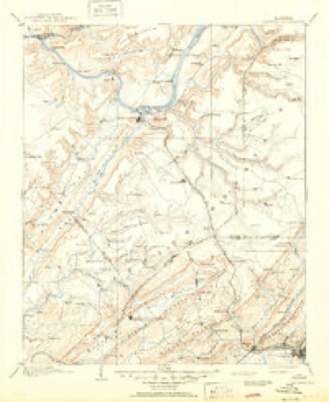
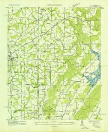
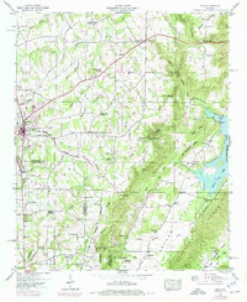
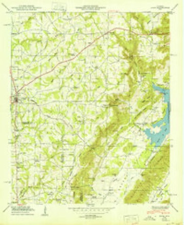
24 topographic sheets cover this place, the earliest surveyed in 1885 and the latest in 1984. It stands in the Guntersville census division. It lies in ZIP code area 35976. It stands on Red Hill Branch. The Survey maps it on the Arab quadrangle. It stands 633 feet above sea level.
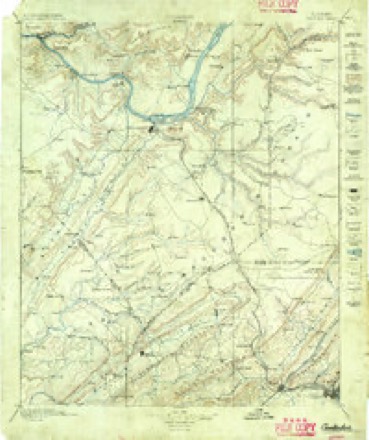
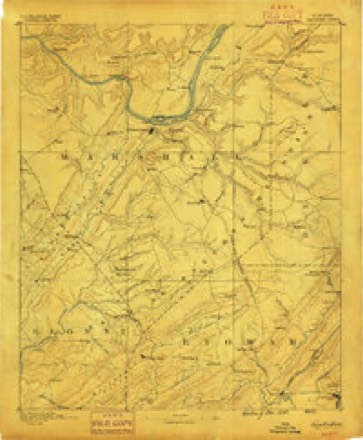
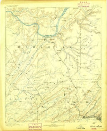
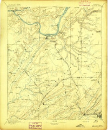
Topographic sheets covering this place
14 surveys from 24 printed sheetsMatched by testing this settlement's coordinate against the published boundary of every sheet in the United States Geological Survey's historical collection. Each opens the scanned sheet at the Survey.
- 1885 USGS Gadsden quadrangle1:125000
- 1888 USGS Gadsden quadrangle1:125000
- 1892 USGS Gadsden quadrangle1:125000
- 1895 USGS Gadsden quadrangle1:125000
- 1903 USGS Gadsden quadrangle1:125000, 4 printings
- 1936 USGS Arab quadrangle1:24000
- 1948 USGS Arab quadrangle1:24000, 3 printings
- 1950 USGS Arab quadrangle1:24000
- 1956 USGS Gadsden quadrangle1:250000, 3 printings
- 1958 USGS Gadsden quadrangle1:250000
- 1960 USGS Gadsden quadrangle1:250000, 2 printings
- 1963 USGS Gadsden quadrangle1:250000
- 1975 USGS Arab quadrangle1:24000, 2 printings
- 1984 USGS Guntersville quadrangle1:100000, 2 printings




Fires near this place
104 since 1994Regional context, not property-specific evidence. The federal wildfire occurrence database lists 104 fires within 5 miles of Red Hill between 1994 and 2019, burning about 654 acres in total. None started naturally. 21 were recorded as arson. Distance is straight-line from the map coordinates, so a fire counted here may appear on a neighbouring settlement's page as well.
| Reported cause | Fires |
|---|---|
| Debris and open burning | 39 |
| Missing data/not specified/undetermined | 32 |
| Arson/incendiarism | 21 |
| Recreation and ceremony | 7 |
| Equipment and vehicle use | 4 |
| Smoking | 1 |
The most recent of them, most recent first, with the day each was reported and the service that recorded it.
| Date | Cause | Size | Reported by | Name on the report |
|---|---|---|---|---|
| 6 September 2014 | Missing data/not specified/undetermined | under an acre | Alabama Forestry Commission | NER-20140906-001 |
| 4 September 1995 | Debris and open burning | 3.0 acres | Alabama Forestry Commission | not named |
| 4 September 1995 | Equipment and vehicle use | 8.0 acres | Alabama Forestry Commission | not named |
| 28 September 2016 | Debris and open burning | 1.5 acres | Alabama Forestry Commission | 20160928-25 |
| 28 September 1999 | Arson/incendiarism | 2.0 acres | Alabama Forestry Commission | not named |
| 26 September 2014 | Missing data/not specified/undetermined | under an acre | Alabama Forestry Commission | NOR-20140926-001 |
| 24 September 2010 | Debris and open burning | 6.0 acres | Alabama Forestry Commission | not named |
| 21 September 2014 | Missing data/not specified/undetermined | under an acre | Alabama Forestry Commission | NER-20140921-001 |
Settlements close enough to share some of these fires:
Mines and quarries near this place
3 within 5 milesRegional context, not property-specific evidence. The federal mineral resources record lists 3 workings within 5 miles of Red Hill: 1 prospect, 1 unknown, 1 producer. 1 still produces. What was taken out: Manganese, Iron, Silica. Distance is straight-line from the map coordinates, so a quarry counted here may appear on a neighbouring settlement's page as well.
| Where | Site | Commodity | Status | Recorded |
|---|---|---|---|---|
| Glover Manganese Prospect | Manganese | Prospect | 1942 | |
| Marshall County-Browns Valley | Iron | Unknown | ||
| Unnamed Quarry | Silica | Producer |
Storms near this place
8 since 2002Regional context, not property-specific evidence. The National Weather Service names Red Hill in 8 storm reports between 2002 and 2025: 5 tornado, 3 thunderstorm wind. No death or injury is recorded in these reports. Each account below is quoted exactly as the forecast office filed it, from the NOAA Storm Events Database, and each date opens the federal record of that event.
| When | Event | Place named | Harm | What the report says |
|---|---|---|---|---|
| March 2002 | Tornado (F1) | Red Hill | $1,400,000 | A tornado first touched down at a cemetary just west of Red Hill. The F1 tornado travelled on a near due east path crossing CR 14 (Warrenton Road), a small ridge and SR 79. The tornado then climbed another ridge downing trees. Once on top of the ridge, the tornado paralleled Section Line Road (CR 166) downing trees and power lines and causing damage especially to out buildings, farm buildings, chicken houses, and other weak structures. Most substantial structures affected by the tornado had minimal damage as identified from visual inspection. The tornado ended at CR 152 (Oneonta Cut Off Road). Red Cross officials identified 3 structures with major damage and 18 with minor damage. There were no deaths or injuries reported with this tornado.Beg. 34 15.404/86 26.232 End: 34 15.291/86 16.998 |
| May 2025 | Thunderstorm Wind | Red Hill | $3,000 | Trees and power lines were knocked down on Feemster Gap Road. |
| April 2025 | Thunderstorm Wind | Red Hill | $1,000 | A tree was knocked down and blocking the road at 424 Wallace Road in Arab. |
| April 2020 | Tornado (EF1) | Red Hill | - | The tornado touched down in far northeast Blount County and crossed the Marshall County line about one mile west-southwest of Meadowbrook Drive. The tornado tracked approximately three miles crossing Alabama Highway 79 South, where dozens of trees were uprooted and a couple of homes sustained minor roof damage. The tornado continued to the east-northeast uprooting several more trees before lifting along Foster Road. |
| November 2017 | Thunderstorm Wind | Red Hill | - | A power line was knocked down onto a vehicle with entrapment along Rock Hill Road at Scoles Road southwest of Guntersville. |
| April 2011 | Tornado (EF1) | Red Hill | - | As the tornado moved into Marshall county, its peak winds strengthened to around 110 mph, becoming an EF-1 intensity tornado. On Feemster Gap Road a mobile home was rolled over several times. The mobile home hit a tree and fell back on its side with the roof badly damaged and the frame bent. No injuries were sustained at this location, but residents that had been inside the mobile home took shelter in an underground storm shelter minutes before the tornado hit. Other mobile homes nearby only sustained minor damage to the roofs and flashing underneath. Northeast of this, another mobile home was blown several feet from its original location (as noted by the location of its remaining porch). Behind this mobile home, an unanchored outbuilding was rolled several times and numerous large trees were uprooted and snapped in the field behind the home.||As the tornado moved through the Johnsons Mill community, several barns were damaged, with one or two completely destroyed. A chicken house on Fry Gap Road was completely destroyed, as well, near the intersection of Fry Gap Road and Thompson Falls road. Further northeast, another chicken house sustained major damage but was not completely destroyed on Brazelton Road near Fry Gap Road.||Northeast of these locations, near the intersection of Warranton Road and Browns Valley Road, another chicken house was completely destroyed and numerous trees were splintered and snapped off near the base. The tornado was likely at its strongest at this location, with a width of 75 yards. Damage continued along the peninsula between Big Springs Creek and Browns Creek on Guntersville Lake. Trees were snapped and oriented in a convergent pattern along the peninsula as the tornado was weakening and eventually lifting near the intersection of Highway 431 and Highway 69. |
| April 2011 | Tornado (EF1) | Red Hill | - | A fast moving tornado of EF-1 intensity produced peak wind speeds of 95 mph. This tornado was associated with a broad yet well-defined mesoscale convective vortex. The tornado touched down along County Road 14 (Diamond Road), and Red Hill Road. Large hardwood trees were snapped and uprooted in a convergent pattern along County Road 14 (Diamond Road) as the tornado moved rapidly northeast. Significant roof damage occurred to several chicken houses along Red Hill Road just west of County Road 14. The tornado lifted just north of Brookline Ridge Road near the extreme south side of Lake Guntersville. |
| April 2011 | Tornado (EF2) | Red Hill | - | This long-track EF4 tornado that originated in Pickens county Alabama, moved through Blount county and weakened to EF1 intensity as it tracked northeast into southern Marshall County. This was the same tornado that did significant damage further southwest to the town of Cordova, in Walker County.||The tornado continued its track across the Blount/Marshall county line along a heavily wooded ridgeline between Highway 79 and Diamond Road. Aerial photography confirms the tornado tracked northeast along this ridgeline doing significant damage to a house just inside the Marshall County line, as well as snapping and uprooting numerous trees. The tornado crossed Highway 79 between mile marker 56 and 57, snapping a few trees and causing damage to the roof of a shed near a residence. Just northeast of this point, the tornado appeared to briefly strengthen (EF-2), completely destroying an industrial plant (Ferguson Industries). The tornado continued northeast moving again over heavily wooded terrain just east of Highway 79. The damage path along this ridgeline can be seen from Highway 79 and aerial pictures confirm this track.||Beyond this point several miles south of Highway 431, little additional damage can be confirmed from this tornado. Radar data also suggests that this storm (supercell) was undergoing a transformation period causing the tornado to weaken and eventually lift.||This supercell later spawned another EF-5 tornado that devastated the town of Rainsville (DeKalb County) and moved northeast across the AL/GA state line. |
Nearest settlements
The eight closest, with where each one stands in the county. Distances are straight-line, computed from the Geographic Names Information System coordinates.
| Map | Place | Distance | Sheets |
|---|---|---|---|
| Big Spring (historical) | 2.3 miles | 23 | |
| Johnsons Mill | 2.3 miles | 24 | |
| Askea Grove | 2.8 miles | 24 | |
| Sidney | 3.5 miles | 22 | |
| Diamond | 3.5 miles | 24 | |
| Bowen (historical) | 3.6 miles | 23 | |
| Pine Acres | 3.9 miles | 24 | |
| Nixon Chapel | 4.1 miles | 23 |
Elsewhere
Matched on this settlement's Geographic Names Information System number rather than its name, so it cannot be a different place of the same name in another state.
| Wikipedia article on Red Hill | An encyclopaedic summary. Its text is share-alike, so it is linked here rather than copied. |
| Wikidata item Q19987760 | The structured record the population and elevation above come from. Public domain (CC0). |
Provenance
This settlement is recorded in the Geographic Names Information System as feature 125481. The sheet list is computed by point-in-boundary test against the United States Geological Survey's historical topographic inventory. Both are works of the United States government and carry no copyright under 17 U.S.C. 105.
Wildfire. Short, Karen C. 2022. Spatial wildfire occurrence data for the United States, 1992-2020 [FPA_FOD_20221014]. 6th Edition. Fort Collins, CO: Forest Service Research Data Archive. https://doi.org/10.2737/RDS-2013-0009.6 Collected with United States Government funding and usable without additional permissions or fees.
Mines and quarries. USGS Mineral Resources Data System (MRDS) https://mrdata.usgs.gov/mrds/ A work of the United States government, no copyright under 17 U.S.C. 105.
Storms. NOAA National Centers for Environmental Information, Storm Events Database https://www.ncei.noaa.gov/stormevents/ A work of the United States government, no copyright under 17 U.S.C. 105. Narratives are quoted verbatim from the National Weather Service report and are not edited or summarised.