 Block
Saraland, Alabama
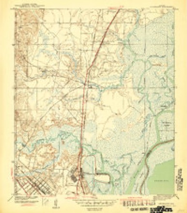
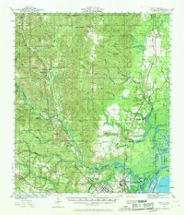
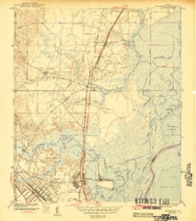
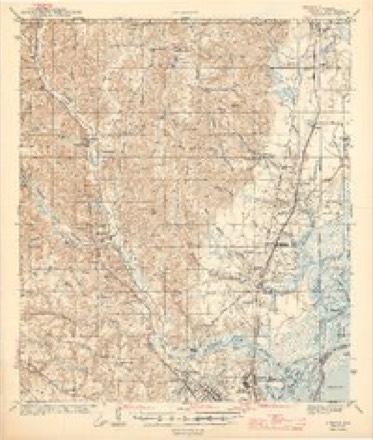
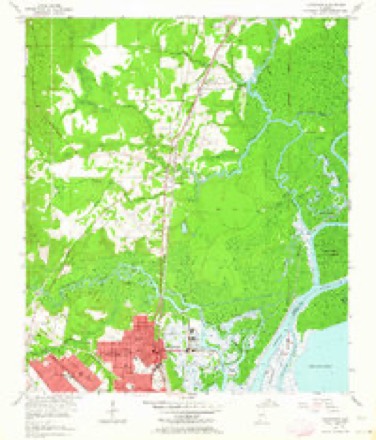
30 topographic sheets cover this place, the earliest surveyed in 1941 and the latest in 1994. It stands in the Mobile census division. It lies in ZIP code area 36571. It stands on Norton Creek. The Survey maps it on the Chickasaw quadrangle. 16,171 people lived here at the 2020 count. It stands 13 feet above sea level.
Population over time
2 figuresSaraland grew from 13,405 to 16,171 between 2010 and 2020. These are the recorded population figures Wikidata holds for this place, reached through the Geographic Names Information System number this page is keyed on rather than by name, so they belong to this place and not to another of the same name. Most are census counts, but not all are: an early figure may be a founding or settlement estimate, and an estimate published within five years of a census is left out. The change column is computed, and is left blank where more than 20 years separate a figure from the one before it, because a gap that long is not a change between two counts.
| Year | People | Change |
|---|---|---|
| 2010 | 13,405 | |
| 2020 | 16,171 | +2,766 (+21%) |
Topographic sheets covering this place
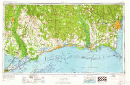
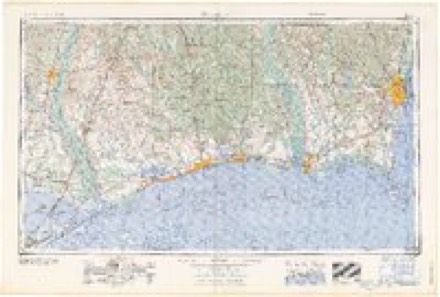
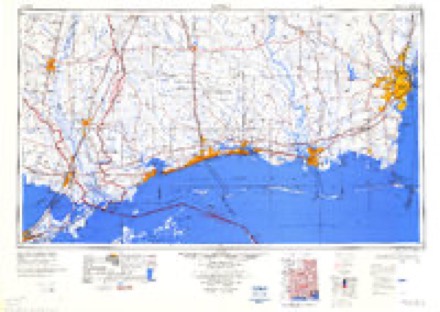
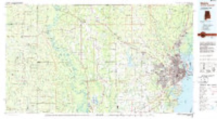
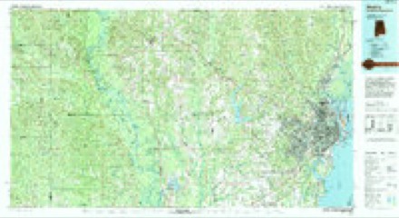
13 surveys from 30 printed sheetsMatched by testing this settlement's coordinate against the published boundary of every sheet in the United States Geological Survey's historical collection. Each opens the scanned sheet at the Survey.
- 1941 USGS Chickasaw quadrangle1:31680, 2 printings
- 1941 USGS Creola quadrangle1:62500, 3 printings
- 1943 USGS Chickasaw quadrangle1:31680, 3 printings
- 1943 USGS Creola quadrangle1:62500, 2 printings
- 1953 USGS Chickasaw quadrangle1:24000, 6 printings
- 1953 USGS Mobile quadrangle1:250000, 3 printings
- 1957 USGS Mobile quadrangle1:250000, 3 printings
- 1960 USGS Mobile quadrangle1:250000
- 1963 USGS Mobile quadrangle1:250000
- 1965 USGS Mobile quadrangle1:250000
- 1984 USGS Mobile quadrangle1:250000, 3 printings
- 1984 USGS Mobile quadrangle1:100000
- 1994 USGS Mobile quadrangle1:100000
Fires near this place
105 since 1994Regional context, not property-specific evidence. The federal wildfire occurrence database lists 105 fires within 5 miles of Saraland between 1994 and 2019, burning about 2,026 acres in total. None started naturally. 50 were recorded as arson. Distance is straight-line from the map coordinates, so a fire counted here may appear on a neighbouring settlement's page as well.
| Reported cause | Fires |
|---|---|
| Arson/incendiarism | 50 |
| Missing data/not specified/undetermined | 27 |
| Debris and open burning | 17 |
| Misuse of fire by a minor | 3 |
| Equipment and vehicle use | 3 |
| Recreation and ceremony | 3 |
| Railroad operations and maintenance | 1 |
| Smoking | 1 |
The most recent of them, most recent first, with the day each was reported and the service that recorded it.
| Date | Cause | Size | Reported by | Name on the report |
|---|---|---|---|---|
| 8 September 1995 | Debris and open burning | 5.0 acres | Alabama Forestry Commission | not named |
| 21 September 1997 | Arson/incendiarism | 4.5 acres | Alabama Forestry Commission | not named |
| 18 September 2015 | Missing data/not specified/undetermined | 2.0 acres | Alabama Forestry Commission | SWR-20150918-005 |
| 17 September 2015 | Missing data/not specified/undetermined | 55 acres | Alabama Forestry Commission | SWR-20150917-003 |
| 15 September 1997 | Arson/incendiarism | under an acre | Alabama Forestry Commission | not named |
| 6 August 1998 | Debris and open burning | 2.0 acres | Alabama Forestry Commission | not named |
| 19 August 1999 | Missing data/not specified/undetermined | under an acre | Alabama Forestry Commission | not named |
| 14 August 2008 | Equipment and vehicle use | under an acre | Alabama Forestry Commission | not named |
Settlements close enough to share some of these fires:
Mines and quarries near this place
4 within 5 milesRegional context, not property-specific evidence. The federal mineral resources record lists 4 workings within 5 miles of Saraland: 4 producers. All of them still produce. What was taken out: Sand and Gravel, Construction, Sand and Gravel, Construction, Clay. Distance is straight-line from the map coordinates, so a quarry counted here may appear on a neighbouring settlement's page as well.
| Where | Site | Commodity | Status | Recorded |
|---|---|---|---|---|
| Unnamed Quarry | Sand and Gravel, Construction, Clay | Producer | Clay, Quartz | |
| George Knapp Construction Co. Pit | Sand and Gravel, Construction | Producer | ||
| Unnamed Quarry | Sand and Gravel, Construction | Producer | Quartz | |
| Unnamed Quarry | Sand and Gravel, Construction | Producer | Quartz |
Storms near this place
32 since 1996Regional context, not property-specific evidence. The National Weather Service names Saraland in 32 storm reports between 1996 and 2024: 11 thunderstorm wind, 10 hail, 5 flash flood, 3 tornado. The reports record 4 injuries. Each account below is quoted exactly as the forecast office filed it, from the NOAA Storm Events Database, and each date opens the federal record of that event.
| When | Event | Place named | Harm | What the report says |
|---|---|---|---|---|
| August 2021 | Tornado (EF1) | Saraland | 3 hurt | The tornado began at approximately 12:20 PM at the intersection of highway|158 and highway 43 where trees were uprooted and a few pines snapped. As the|tornado moved northeast along highway 43 it produced sporadic damage to trees.|The roof of a motel on the west side of highway 43 was uplifted and partially|removed. As the tornado crossed 43 the most intense damage occured where several|sections of another motel`s roof was removed, one person had minor injuries at the|motel. Due to the roofs older build and lack of tree damage, a lower bound estimate|was used. The tornado continued northeast and crossed Jackintoport Blvd. where the|roof of an open sided industrial building was partially removed and an 18 wheeler|was overturned. Another injury occured with the overturned tractor trailer. Tree|damage became sporadic and the path may have been discontinuous until several|softwood trees were uprooted or snapped along Bayou Sara Ave. The tornado likely,|continued northeast along Gunnison Creek and damage was found as the tornado crossed|near Boboshilly Cir. This was where the most significant tree damage was noted with|several snapped softwood pines. The tornado continued northeast towards I-65 where|a couple trees were uprooted onto a home along Ellison Ave before likely dissipating|north of Dead Lake Marina Rd. Most of the damage indicators appeared right of the track and based off radar estimates the tornado could have possibly continued further into the Mobile delta. |
| August 2003 | Lightning | Saraland | 1 hurt | A man was riding a motorcycle when he was struck by lightning. The man was stopped at a light when he was struck and shut down his motorcycle. He was able to get to a convenience store and call for help. He was taken to a local hospital, treated and released. |
| April 2014 | Flash Flood | Saraland | $6,500,000 | Ten to seventeen inches of rain fell across much of central and southern Mobile county. Most of that rain fell during the evening of April 29th through the early morning of April 30th. Widespread flash flooding was reported across central and southern Mobile county, including the city of Mobile. Numerous roads were closed due to being impassable and dozens of people had to be rescued from cars that drove into flooded areas. Massive sinkholes developed on Girby Street and on Dauphin Street at Mcgreror Street. Homes were flooded in a Theodore subdivision. |
| November 1997 | Tornado (F3) | Saraland | $2,000,000 | An F3 tornado touched down just east of I-65 in Saraland near Shelton Beach Estates. The tornado skipped east northeast along the ground before lifting back into the cloud near U S Highway 43. Three homes were almost completely gone, three more suffered major damage and about sixty homes in the middle-class neighbourhood suffered some damage. Most of the damage was consistent with an F1 or F2 tornado. No one was injured. Several people knew they were under a tornado warning and were able to take cover before the storm struck. Most of the residents said they did not hear the familiar "Freight Train Sound" before the tornado struck. |
| October 1999 | Tornado (F1) | Saraland | $100,000 | Around 415 AM CST...a tornado (F1) touched down in Saraland, near the Walmart Superstore. The roof of the store was damaged. The tornado then skipped across Industrial Parkway and touched down again on Sheldon Beach Road near Goldenrod. From here the worst damage occurred with several businesses and one home damaged. Power lines were also blown down. The tornado moved north and crossed I-65and a nearby service road where some trees were also blown down. The tornado then moved across a wooded area and touched down again near Alvarez and Wilson Roads. From here several homes suffered roof damage along with more trees down. The tornado continued to skip along the ground and touched down near Forest and Robert Williams Roads; more trees were damaged in this area. Before lifting back into the cloud, the storm did tree and power line damage along Martha Alleyn Road. No injuries were reported. |
| August 2014 | Thunderstorm Wind | Saraland | $25,000 | Winds estimated at 70 mph caused roof damage to several businesses. |
| August 2004 | Lightning | Saraland | $10,000 | Lightning struck a tree near a home and caused the roof to catch fire. The fire department was able to put the fire out before major damage occurred to the home. |
| January 1999 | Thunderstorm Wind | Saraland | $10,000 | High winds blew down several trees in Saraland. A home in the same area also had damage to a sun room. |
| April 2019 | Thunderstorm Wind | Saraland | $5,000 | High winds downed a tree on power lines on Leon Street. |
| August 2015 | Thunderstorm Wind | Saraland | $5,000 | Winds estimated at 60 mph downed trees and power lines. |
| March 2014 | Thunderstorm Wind | Saraland | $5,000 | Winds estimated at 70 mph blew a large metal sign from Rouses Market across the road at corner of US 43 and US 41 in Saraland. |
| June 2004 | Thunderstorm Wind | Saraland | $5,000 | High winds from a thunderstorm blew down several trees near Saraland. |
| March 2014 | Thunderstorm Wind | Saraland | $4,000 | Winds estimated at 70 mph downed power lines down at intersection of Norton and Senack roads in Saraland. |
| March 2016 | Thunderstorm Wind | Saraland | $2,000 | Winds estimated at 60 mph downed a tree on Celeste Road. |
| March 2014 | Thunderstorm Wind | Saraland | $2,000 | Winds estimated at 60 mph downed trees on Linda Lane and Ferry Avenue. |
| March 2014 | Thunderstorm Wind | Saraland | $2,000 | Winds estimated at 60 mph downed trees on Norton Avenue. |
| July 2024 | Flash Flood | Saraland | - | Video of flash flooding in Saraland. |
| April 2021 | Thunderstorm Wind | Saraland | - | Tree blocking the roadway on Shelton Beach Road just north of AL Highway 158. One vehicle crashed into the tree. No injuries. |
| February 2020 | Flood | Saraland | - | Moderate to major flooding on the Tombigbee and Alabama Rivers resulted in significant flooding downstream along the Mobile River and Bayou Sara. The Mobile River at Barry Steam Plant crested at 17.08 feet and the Bayou Sara crested at 7.9 feet, the third highest crest on record. Hunting camps along the Mobile River were significantly flooded. Areas in and around Saraland close to Bayou Sara were inaccessible for a long period of time due to the prolonged flooding. Damage estimates were not currently available. |
| May 2017 | Flash Flood | Saraland | - | Heavy rain caused flooding on International Boulevard. |
| May 2017 | Flash Flood | Saraland | - | Heavy rain caused street flooding around Saraland. Several roads were blocked off. |
| December 2009 | Flash Flood | Saraland | - | Saraland Police Department Dispatch reported that Scott Drive in the western portion of Saraland was closed due to water covering the road. |
| May 1998 | Hail | Saraland | - | Nickel size hail fell in the community. |
| March 1998 | Hail | Saraland | - | Quarter size hail was reported around Saraland. The hail accumulated to a depth of f our inches in places. |
| May 1997 | Hail | Saraland | - | Golfball to dime size hail was reported along I65 from Saraland to Mobile. |
| February 2016 | Hail | Saraland | - | no account filed |
| March 2016 | Hail | Saraland | - | no account filed |
| March 2009 | Hail | Saraland | - | no account filed |
| April 2005 | Hail | Saraland | - | no account filed |
| March 2003 | Hail | Saraland | - | no account filed |
| October 2002 | Hail | Saraland | - | no account filed |
| March 1996 | Hail | Saraland | - | no account filed |
Nearest settlements
The eight closest, with where each one stands in the county. Distances are straight-line, computed from the Geographic Names Information System coordinates.
| Map | Place | Distance | Sheets |
|---|---|---|---|
| Pine Wood | 0.3 miles | 30 | |
| Oakleigh Estates | 0.8 miles | 30 | |
| Mackies | 0.9 miles | 30 | |
| Little Pines | 1.2 miles | 30 | |
| Shelton Beach Estates | 1.3 miles | 30 | |
| Williams Heights | 1.5 miles | 30 | |
| Satsuma | 2.4 miles | 30 | |
| Cox Beach | 2.7 miles | 30 |
Elsewhere
Matched on this settlement's Geographic Names Information System number rather than its name, so it cannot be a different place of the same name in another state.
| Wikipedia article on Saraland | An encyclopaedic summary. Its text is share-alike, so it is linked here rather than copied. |
| Wikidata item Q79259 | The structured record the population and elevation above come from. Public domain (CC0). |
Provenance
This settlement is recorded in the Geographic Names Information System as feature 153329. The sheet list is computed by point-in-boundary test against the United States Geological Survey's historical topographic inventory. Both are works of the United States government and carry no copyright under 17 U.S.C. 105.
Wildfire. Short, Karen C. 2022. Spatial wildfire occurrence data for the United States, 1992-2020 [FPA_FOD_20221014]. 6th Edition. Fort Collins, CO: Forest Service Research Data Archive. https://doi.org/10.2737/RDS-2013-0009.6 Collected with United States Government funding and usable without additional permissions or fees.
Mines and quarries. USGS Mineral Resources Data System (MRDS) https://mrdata.usgs.gov/mrds/ A work of the United States government, no copyright under 17 U.S.C. 105.
Storms. NOAA National Centers for Environmental Information, Storm Events Database https://www.ncei.noaa.gov/stormevents/ A work of the United States government, no copyright under 17 U.S.C. 105. Narratives are quoted verbatim from the National Weather Service report and are not edited or summarised.