 Block
Sawyerville, Alabama
9 topographic sheets cover this place, the earliest surveyed in 1953 and the latest in 1990. It stands in the Sawyerville census division. It lies in ZIP code area 36776. The Survey maps it on the Sawyerville quadrangle. It stands 226 feet above sea level.
On record in Sawyerville
Buildings and businesses the archive holds for this place. Each opens its own page, with the source record it came from.
Surveyed buildings and structures 1 record
- Governor Samuel Pickens House, State Route 14, Sawyervillefederal building survey, 30 photographs
Topographic sheets covering this place
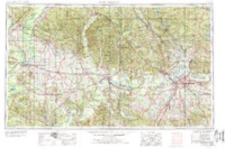
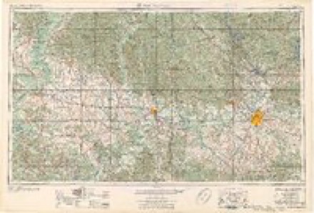
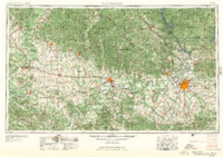
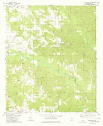
6 surveys from 9 printed sheetsMatched by testing this settlement's coordinate against the published boundary of every sheet in the United States Geological Survey's historical collection. Each opens the scanned sheet at the Survey.
- 1953 USGS Montgomery quadrangle1:250000, 4 printings
- 1956 USGS Montgomery quadrangle1:250000
- 1957 USGS Montgomery quadrangle1:250000
- 1980 USGS Sawyerville quadrangle1:24000
- 1986 USGS Demopolis quadrangle1:100000
- 1990 USGS Demopolis quadrangle1:100000
Fires near this place
82 since 1994Regional context, not property-specific evidence. The federal wildfire occurrence database lists 82 fires within 5 miles of Sawyerville between 1994 and 2020, burning about 412 acres in total. 2 started naturally. 9 were recorded as arson. Distance is straight-line from the map coordinates, so a fire counted here may appear on a neighbouring settlement's page as well.
| Reported cause | Fires |
|---|---|
| Debris and open burning | 44 |
| Missing data/not specified/undetermined | 12 |
| Arson/incendiarism | 9 |
| Equipment and vehicle use | 5 |
| Smoking | 3 |
| Recreation and ceremony | 3 |
| Natural | 2 |
| Railroad operations and maintenance | 2 |
| Other causes | 1 |
| Misuse of fire by a minor | 1 |
The most recent of them, most recent first, with the day each was reported and the service that recorded it.
| Date | Cause | Size | Reported by | Name on the report |
|---|---|---|---|---|
| 9 September 1995 | Recreation and ceremony | 4.0 acres | Alabama Forestry Commission | not named |
| 8 September 2004 | Missing data/not specified/undetermined | under an acre | Alabama Forestry Commission | not named |
| 6 September 1997 | Debris and open burning | 2.0 acres | Alabama Forestry Commission | not named |
| 5 September 2010 | Debris and open burning | 4.5 acres | Alabama Forestry Commission | not named |
| 3 September 2005 | Debris and open burning | 8.0 acres | Alabama Forestry Commission | not named |
| 21 September 2019 | Debris and open burning | 7.0 acres | Alabama Forestry Commission | 20190921-18 |
| 19 September 2010 | Equipment and vehicle use | 1.5 acres | Alabama Forestry Commission | not named |
| 14 September 2005 | Equipment and vehicle use | under an acre | Alabama Forestry Commission | not named |
Settlements close enough to share some of these fires:
Storms near this place
6 since 2008Regional context, not property-specific evidence. The National Weather Service names Sawyerville in 6 storm reports between 2008 and 2024: 3 thunderstorm wind, 3 tornado. The reports record 7 deaths and 48 injuries. Each account below is quoted exactly as the forecast office filed it, from the NOAA Storm Events Database, and each date opens the federal record of that event.
| When | Event | Place named | Harm | What the report says |
|---|---|---|---|---|
| April 2011 | Tornado (EF3) | Sawyerville | 6 killed, 40 hurt, $17,000,000 | A tornado touched down in southwestern Greene County near Tishabee, and moved northeast through central Hale and Bibb Counties. The tornado then lifted near Marvel in far northeast Bibb County. The tornado crossed the Black Warrior River and into Hale County west of Sawyerville. The tornado crossed AL Route 14, just north of Sawyerville, intensifying to an EF3 rating with winds of 145 mph. As the tornado continued northeast, it crossed CR 18, CR 21, AL Hwy 69 south of Harper Hill, and CR 29 east of Ingram. Extensive structural damage was noted in the these locations, which resulted in at least 40 injuries and 6 fatalities. Numerous mobile homes and single family homes and one church were damaged or destroyed. Thousands of trees were knocked down. The tornado moved into the Talladega National Forest near Ingram, where it caused significant tree damage to the Bibb County line. |
| February 2022 | Tornado (EF2) | Sawyerville | 1 killed, 8 hurt | National Weather Service meteorologists surveyed damage in western Hale County and determined that it was consistent with an EF2 tornado, with maximum winds near 135 mph. The tornado crossed into Hale County from Greene County and intensified, uprooting and mowing down hundreds of trees as it moved along Bass Lane near the Black Warrior. The tornado then crossed Mason Bend Road where it snapped numerous hardwood and softwood trees, destroying several manufactured homes, and which resulted in a few minor injuries. One unoccupied single-wide manufactured home rolled over and landed upside-down on top of a car. From there it continued east-northeast, crossing Erie Road and County Road 92 with slightly less intense damage to trees. As it approached Alabama Highway 14, just north of Sawyerville, several homes were damaged, and one double-wide was destroyed, causing several injuries. The tornado turned over a fish truck causing the load of fish to be scattered across the road, and it deposited two pickup trucks into a nearby pond. The tornado continued east-northeast snapping and uprooting trees as it crossed County Road 17.||As it approached County Road 30, the tornado reached its maximum intensity of about 135 mph. A double-wide manufactured home was torn from its anchors, lofted and tossed approximately 50 yards across the road, resulting in one fatality and two serious injuries. A site-built home across the street sustained significant roof damage and broken glass. A double-wide manufactured home a few hundred yards south of the first home was split in two, with one half of the home remaining anchored while the other half rolled away. The tornado then crossed wooded land and pastures on either side of Big Brush Creek, before crossing County Road 21, snapping and uprooting numerous trees. Similar, but less consistent damage, continued as it crossed Raspberry and Hubbard Roads before moving over inaccessible woods and pastures along Five Mile Creek. The tornado continued to weaken as it crossed Highway 69 near Harper Hill, causing only sporadic tree damage. The tornado dissipated somewhere between Harper Hills Road and County Road 31. |
| June 2008 | Thunderstorm Wind | Sawyerville | $1,000 | A large tree was blown down, and blocked the roadway, at CR-30 and AL-14. |
| December 2024 | Tornado (EF1) | Sawyerville | - | A tornado moved into Hale County from Greene County. Pockets of non-contiguous damage were found along Carnation Road and County Road 17, where the tornado was nearly one mile wide. Near the intersection of Carnation Road and Quail Drive, a hay barn was demolished, and at least two residences sustained uplift and removal of roof covering materials. Along County Road 17, dozens of trees were snapped and uprooted. The tornado then made a northward turn as it moved through the center of Sawyerville, where only very minor damage was observed along State Highway 14. The tornado increased in intensity as it turned back to the northeast and continued to produce sporadic tree damage in a one mile wide path across County Road 18 and County Road 30. The tornado weakened and dissipated quickly as it crossed County Road 21 and Rasberry Road. Maximum estimated winds were 100 mph. |
| October 2014 | Thunderstorm Wind | Sawyerville | - | Several trees uprooted along Johnson Road in the town of Sawyerville. |
| December 2014 | Thunderstorm Wind | Sawyerville | - | Several large tree limbs broken. |
Nearest settlements
The eight closest, with where each one stands in the county. Distances are straight-line, computed from the Geographic Names Information System coordinates.
| Map | Place | Distance | Sheets |
|---|---|---|---|
| Melton | 2.6 miles | 10 | |
| Wedgeworth | 4.3 miles | 14 | |
| Evansville | 6.1 miles | 14 | |
| New Prospect | 6.1 miles | 9 | |
| Millwood | 6.4 miles | 11 | |
| Port Royal | 7.7 miles | 10 | |
| Greensboro | 7.8 miles | 9 | |
| Darrah | 7.8 miles | 14 |
Elsewhere
Matched on this settlement's Geographic Names Information System number rather than its name, so it cannot be a different place of the same name in another state.
| Wikipedia article on Sawyerville | An encyclopaedic summary. Its text is share-alike, so it is linked here rather than copied. |
| Wikidata item Q7428755 | The structured record the population and elevation above come from. Public domain (CC0). |
Provenance
This settlement is recorded in the Geographic Names Information System as feature 155236. The sheet list is computed by point-in-boundary test against the United States Geological Survey's historical topographic inventory. Both are works of the United States government and carry no copyright under 17 U.S.C. 105.
Wildfire. Short, Karen C. 2022. Spatial wildfire occurrence data for the United States, 1992-2020 [FPA_FOD_20221014]. 6th Edition. Fort Collins, CO: Forest Service Research Data Archive. https://doi.org/10.2737/RDS-2013-0009.6 Collected with United States Government funding and usable without additional permissions or fees.
Storms. NOAA National Centers for Environmental Information, Storm Events Database https://www.ncei.noaa.gov/stormevents/ A work of the United States government, no copyright under 17 U.S.C. 105. Narratives are quoted verbatim from the National Weather Service report and are not edited or summarised.