BlockBefore

Hale County, Alabama

46 topographic sheets and 8 fire insurance atlases across 1 place.

Research this county

From the record

“Greensboro has been remarkably free from cyclones, - not one being on record for this station. The most destructive that ever visited this immediate section was on the night of January 21, 1904, Vv^hen Moundville, a town in the northern part of Hale county, was struck by a wind of unusual severity. The great majority of the houses were swept away, and those left standing were badly damaged.”

Year - History of Greensboro, Alabama from Its Earliest Settlement (1908). Machine-read text.

21 National Register listings published here, 2 of them National Historic Landmarks · the county-history sources tell 6 stories and name 11 people · people the book names include John Gayle Governors Of Alabama (Greensboro, 1908) (machine-read).

Sources: the county history on the Internet Archive · the National Register database, National Park Service

Alabama within the United States
Hale County within Alabama

What the record shows

  • 1 place in this county was surveyed for fire insurance: Greensboro, between 1884 and 1943.
  • 8 fire insurance atlases survive for the county. Topographic coverage is national; fire insurance survey reached only incorporated places with something worth insuring.
  • 386 topographic sheet readings cover the county's settlements.
  • 21 properties here are on the National Register of Historic Places: 10 districts, 10 buildings and 1 site.
  • 5 of the 21 listings were added during the 1970s.
  • The Geographic Names Information System records 36 populated places in this county; 36 are covered by at least one topographic sheet.

What happened here

6 accounts

Among them: Chapter Ix; First Houses; Col. James D. Webb. These passages come from the identified county-history source books. Each inset names its own source and opens the exact section it comes from.

From History of Greensboro, Alabama from Its Earliest Settlement, published 1908 - Greensboro

Chapter Ix

THRILLING INCIDENT OF RECONSTRUCTION PERIOD - Federal Soldier Killed by "Tood" Cowin - Another Wounded by Tom Cowin - Escape of "Tood Cowin" - Reign of Pandemonium - Greensboro at the Mercy of Maddened Federal Troops - Timely Arrival of Colonel of the Regiment - Attitude of Present Generation to the Union Page 51 - 60

Read the rest of this passage

From History of Greensboro, Alabama from Its Earliest Settlement, published 1908 - Greensboro

First Houses

The first house erected in what is now Greensboro was in the year 1818, and was built by John Nelson. It was a one-room log structure, and was situated nearly opposite the store of E. A. Powers & Sons on Main street. In this small house Mr. Nelson, for about a year, sold powder, shot, whiskey, tobacco, etc.

Read the rest of this passage

From History of Greensboro, Alabama from Its Earliest Settlement, published 1908 - Greensboro

Col. James D. Webb

Who was Colonel of the 51st Alabama Regiment of cavalry. He was killed in battle at Shelbyville, Tenn . July 19, 1863. He is buried in Winchester, Tenn. Just nrior to his death he was promoted to the rank of Brigadier General, but did not live to receive his commission. He was for a number of years a prominent lawyer in Greensboro.

Read the rest of this passage

From History of Greensboro, Alabama from Its Earliest Settlement, published 1908 - Greensboro

A Thrilling Incident

Cowin a most vicious blow in the face with a slung shot - mistaking him (it is supposed) for the merchant who had reported the men to the Captain. Writhing with pain from the sudden and unexpected blow, and with the gleam of a tiger in his eyes, Cowin sprang from his seat, drew his pistol and fired on his assailant, but miss- ed him.

Read the rest of this passage

From History of Greensboro, Alabama from Its Earliest Settlement, published 1908 - Greensboro

A Thrilling Incident 59

It was never known certainly what influence was used to secure the safety of the Cowins after they had shot the soldiers, as related above, but it developed, in the course of time, that their father, who was quite well-todo at the time of the trouble, had parted with nearly all his worldly possessions - and it was whispered about that he had let somebody have in the neighborhood of twenty thousand dollars - possibly in the nature of a loan.

Read the rest of this passage

From History of Greensboro, Alabama from Its Earliest Settlement, published 1908 - Greensboro

Year

Greensboro has been remarkably free from cyclones, - not one being on record for this station. The most destructive that ever visited this immediate section was on the night of January 21, 1904, Vv^hen Moundville, a town in the northern part of Hale county, was struck by a wind of unusual severity. The great majority of the houses were swept away, and those left standing were badly damaged.

Read the rest of this passage

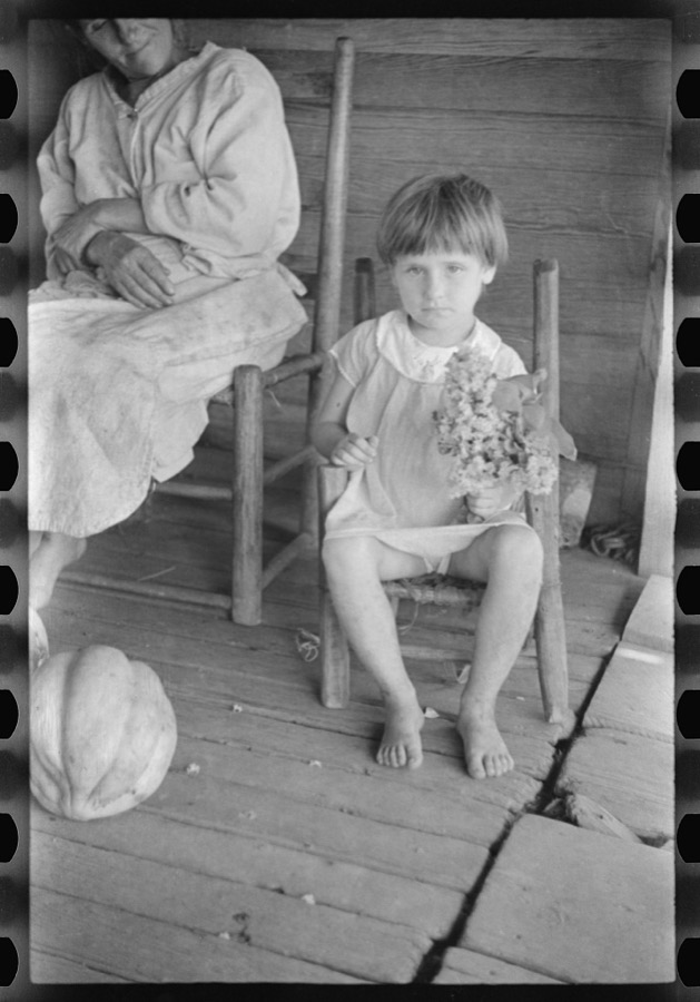
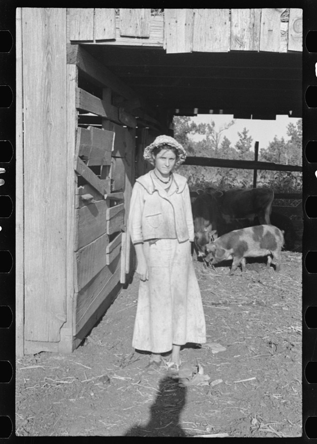
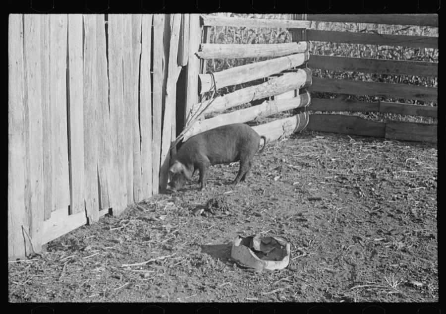
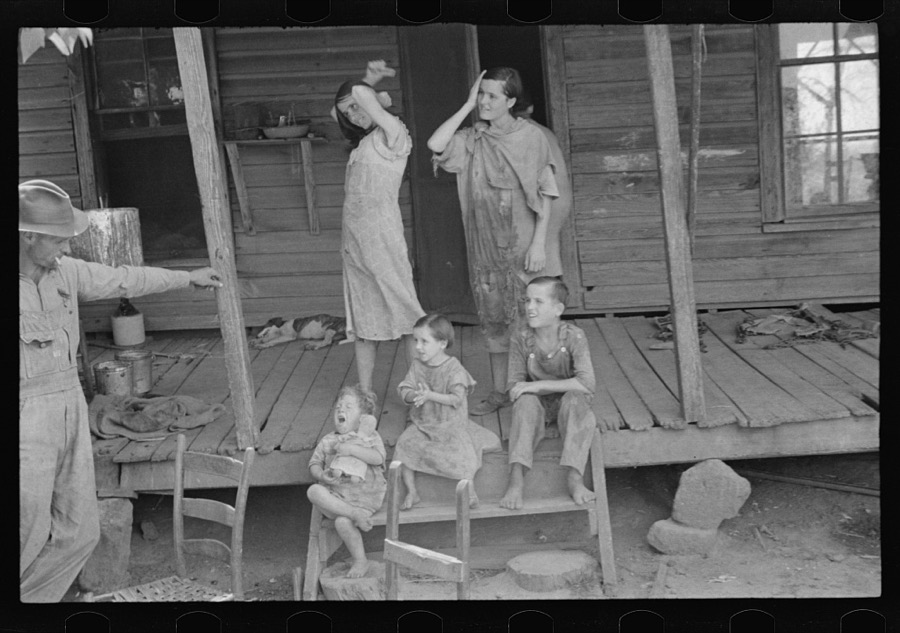
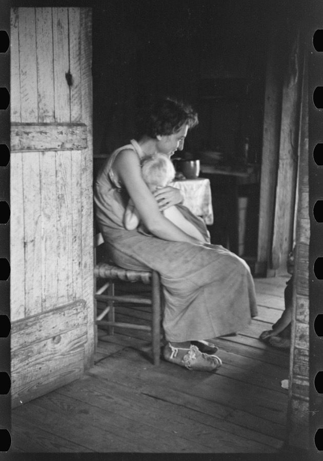
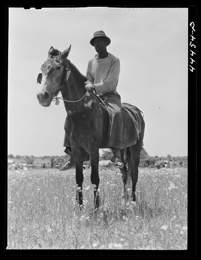
Photographs

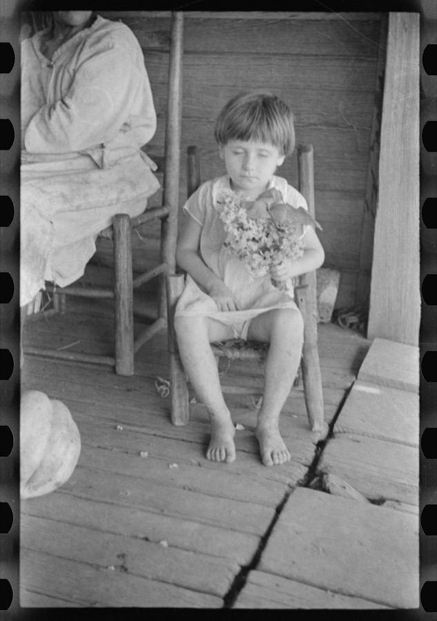
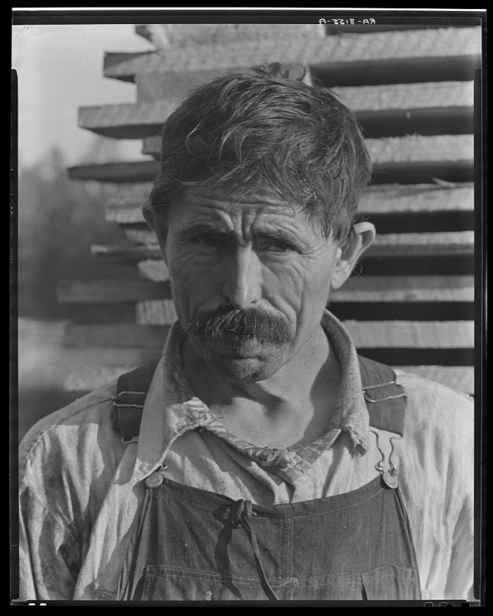
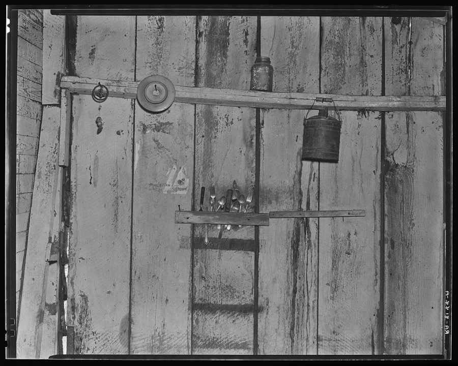
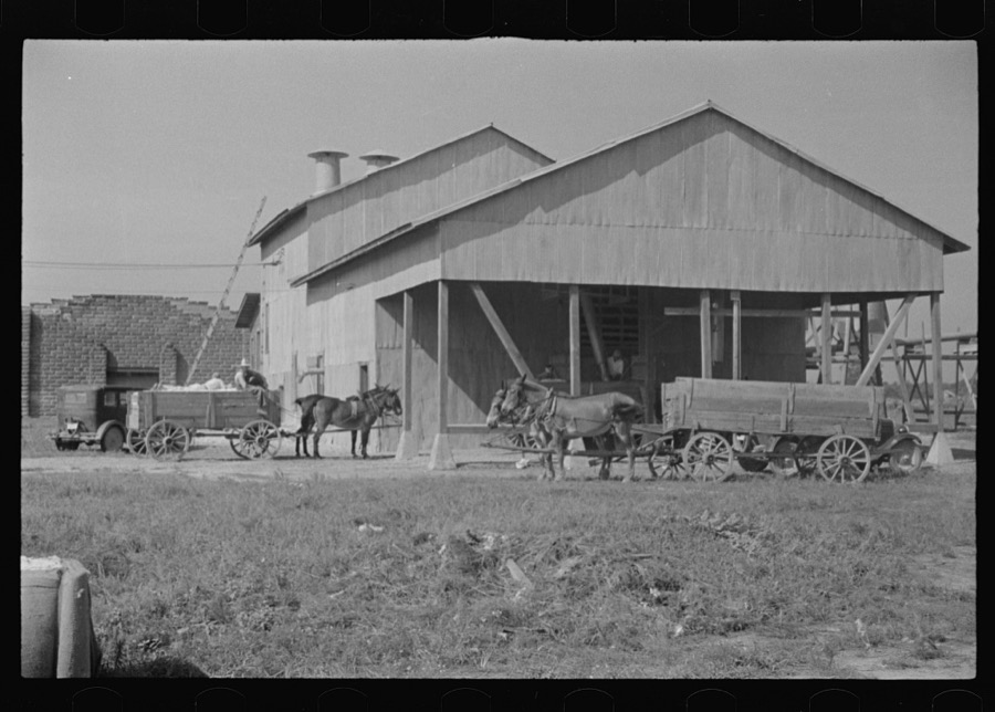
42 photographs, 1936 to 1941

Taken for the Office of War Information and the Farm Security Administration, who photographed the country between 1935 and 1944. Works of United States government photographers, with no known restriction on use. Each opens its catalogue record.

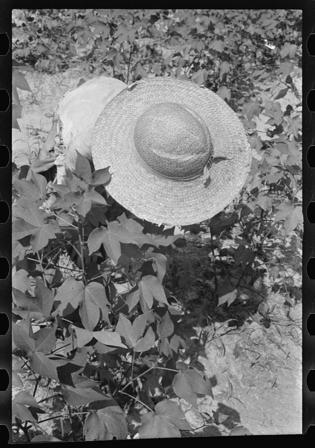
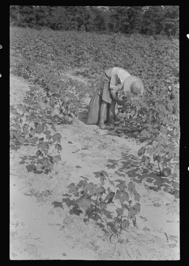
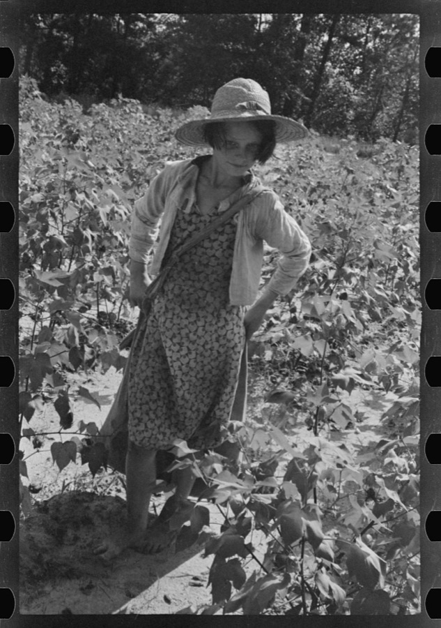
Lucille Burroughs picking cotton, Hale County, Alabama
Evans, Walker, 1936. Library of Congress
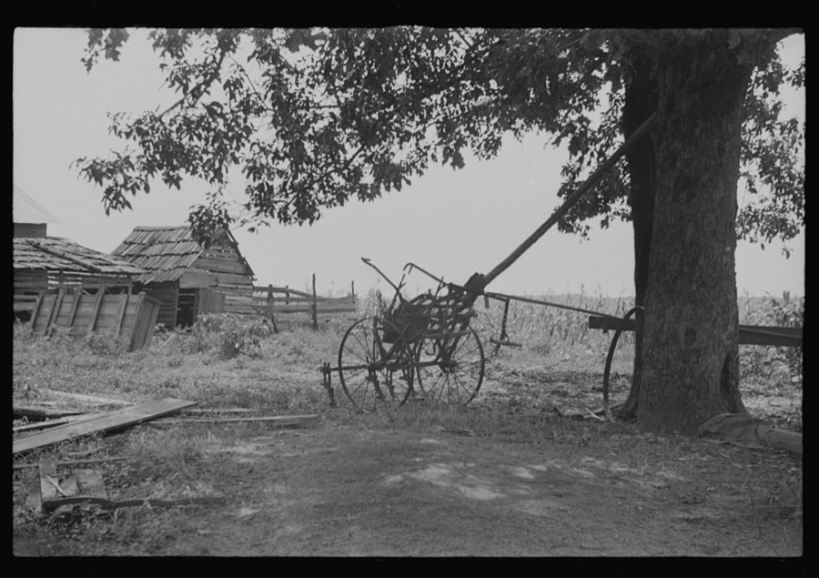
A sharecropper's yard, Hale County, Alabama
Evans, Walker, 1936. Library of Congress
Lucille Burroughs picking cotton, Hale County, Alabama
Evans, Walker, 1936. Library of Congress
Cotton gin, Hale County, Alabama
Evans, Walker, 1936. Library of Congress
Laura Minnie Lee Tengle, Hale County, Alabama
Evans, Walker, 1936. Library of Congress
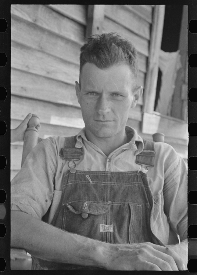
Frank Tengle, cotton sharecropper. Hale County, Alabama
Evans, Walker, 1936. Library of Congress
Kitchen wall in Bud Fields' house. Hale County, Alabama
Evans, Walker, 1936. Library of Congress
Cotton gin, Hale County, Alabama
Evans, Walker, 1936. Library of Congress
Dora Mae Tengle, sharecropper's daughter, Hale County, Alabama
Evans, Walker, 1936. Library of Congress
Floyd Burroughs, Hale County, Alabama
Evans, Walker, 1936. Library of Congress
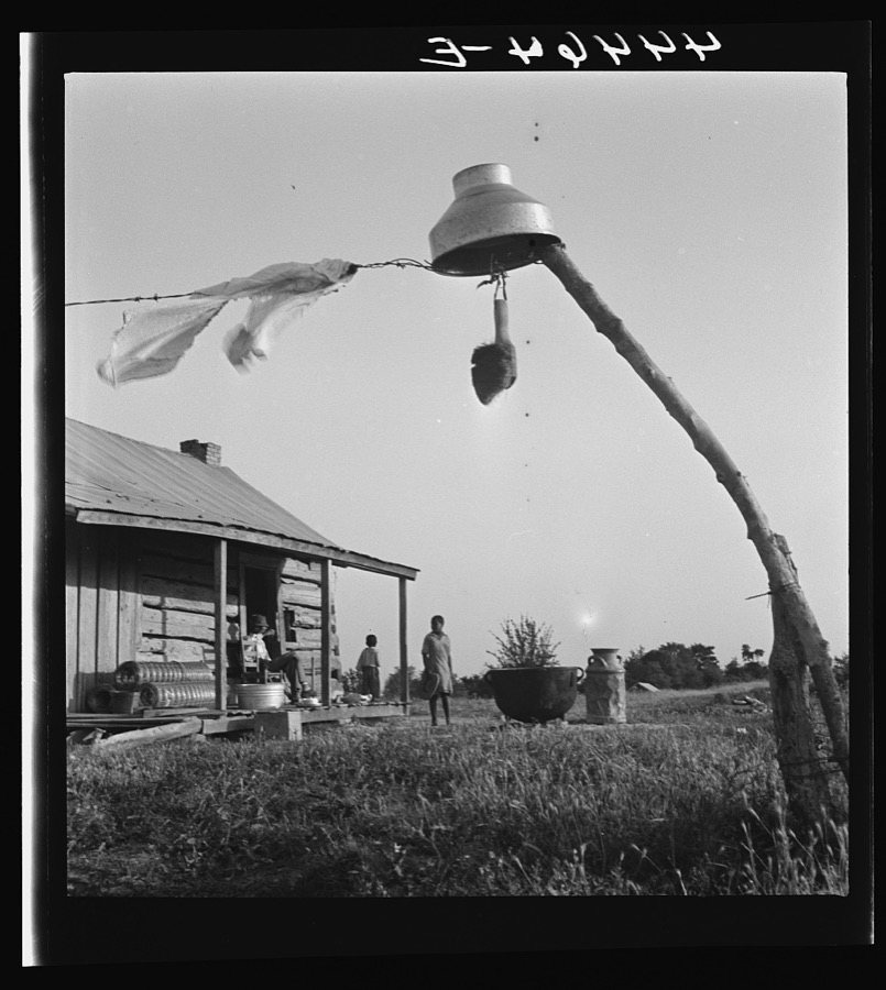
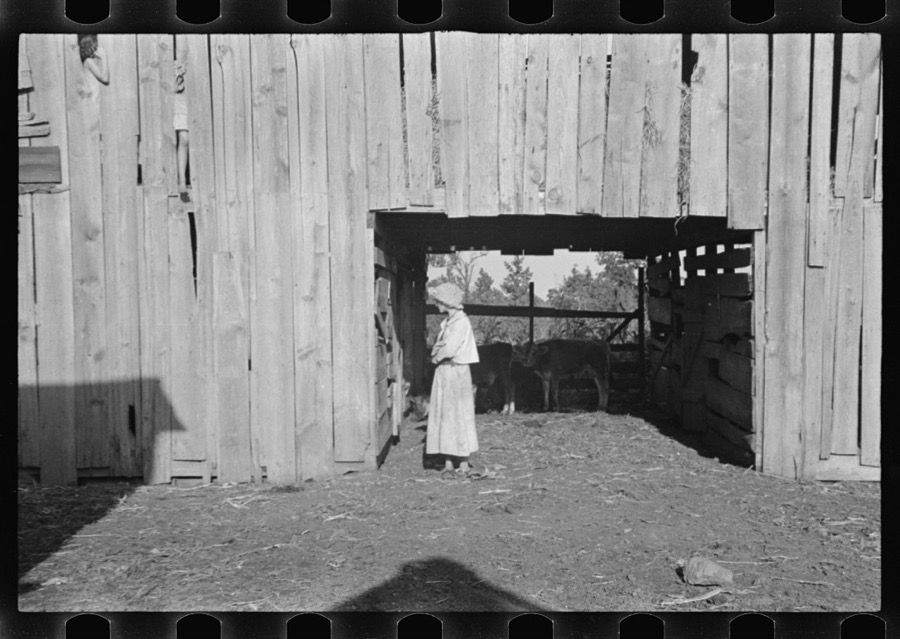
Negro farm family near Greensboro, Alabama who are participants in a FSA (Farm Security Administration) dairy co-op
Delano, Jack, 1941. Library of Congress
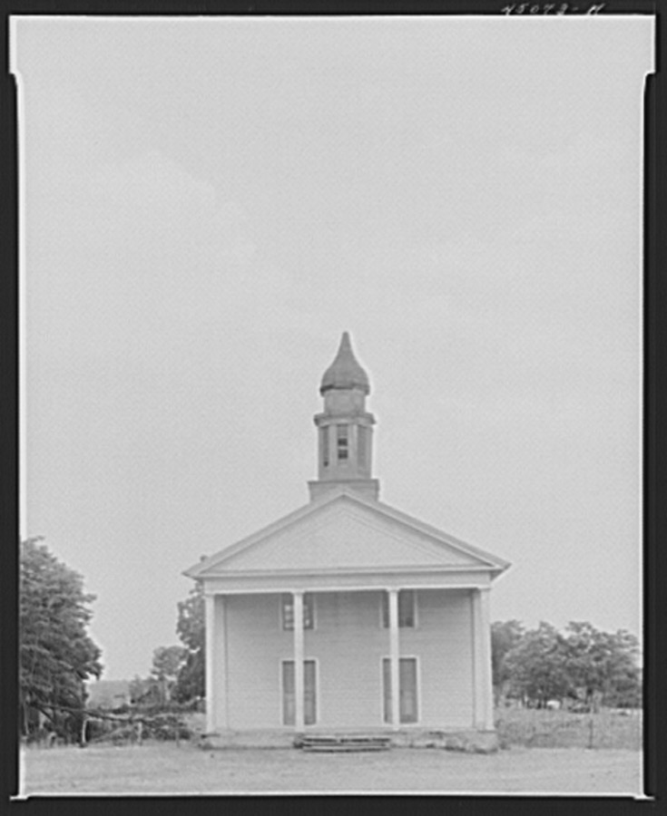
Negro church near Greensboro, Alabama
Delano, Jack, 1941. Library of Congress
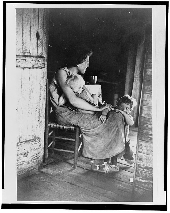
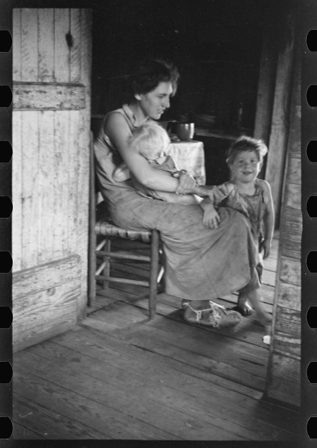
Lily Rogers Fields and children. Hale County, Alabama
Evans, Walker, 1936. Library of Congress
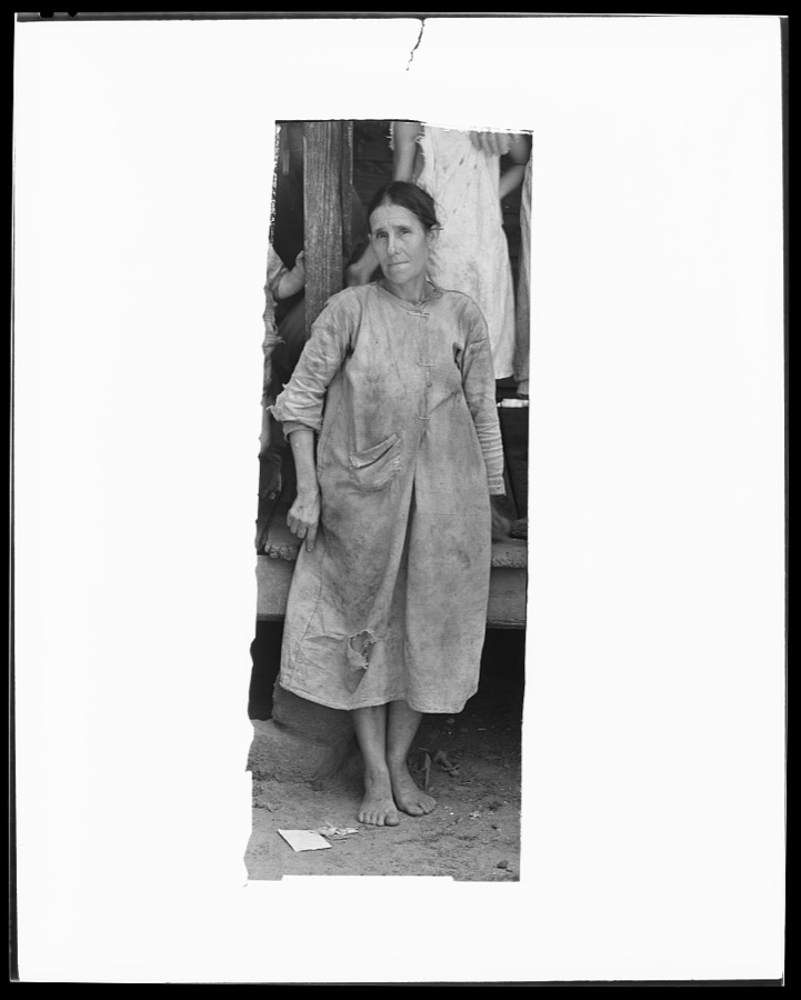
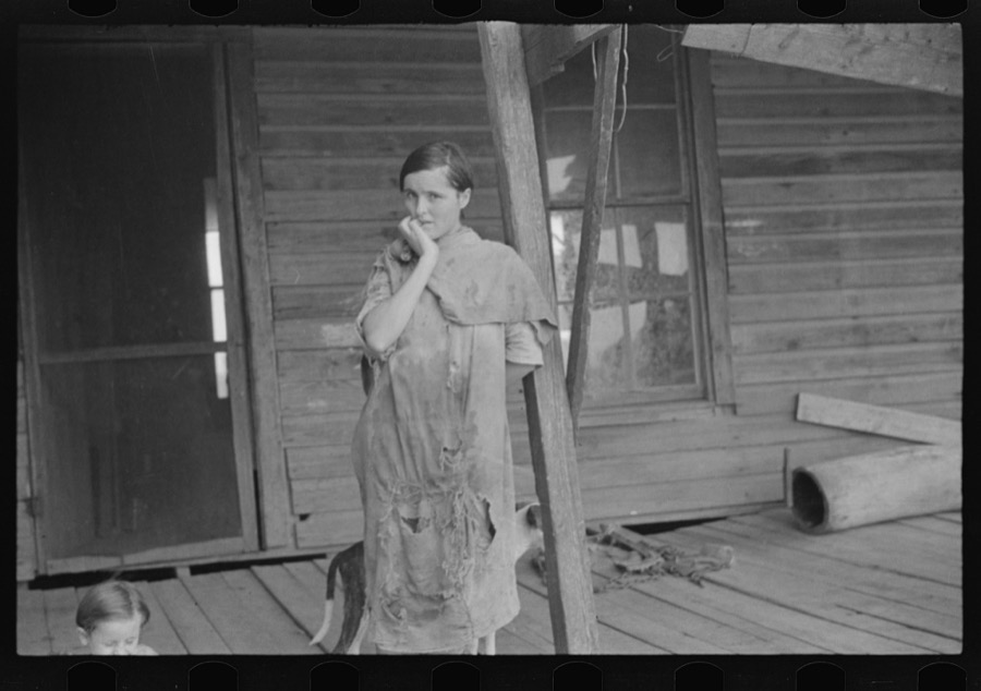
Mrs. Frank Tengle, wife of a cotton sharecropper. Hale County, Alabama
Evans, Walker, 1936. Library of Congress
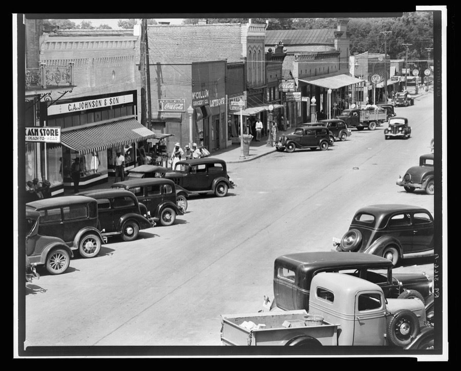
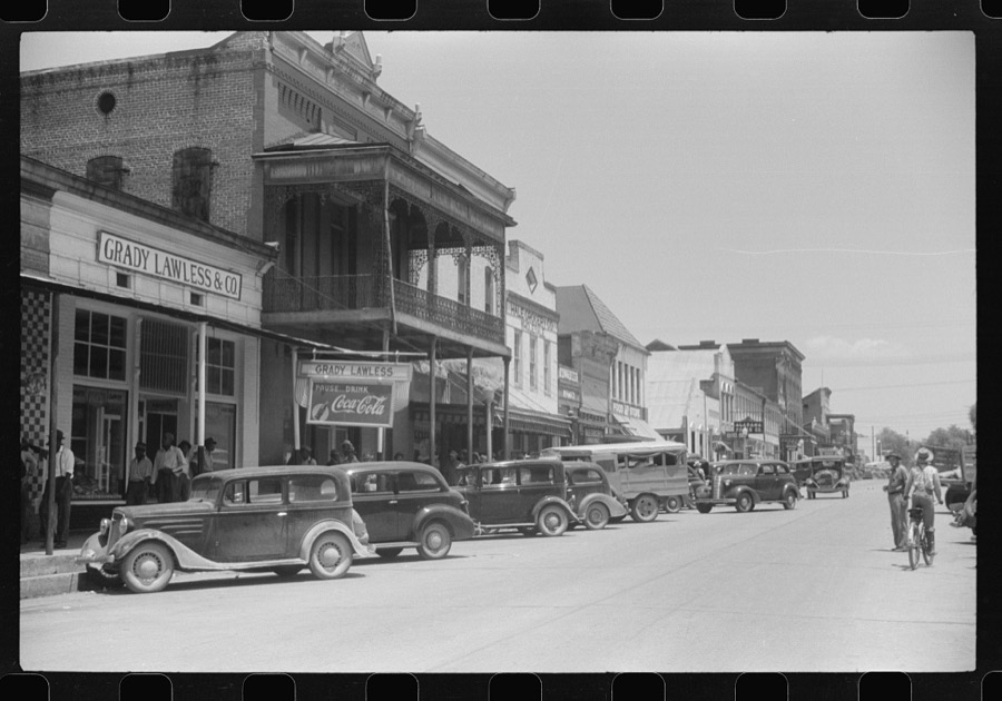
County seat of Hale County, Alabama
Evans, Walker, 1936. Library of Congress
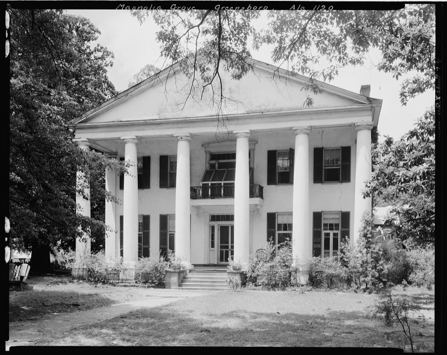
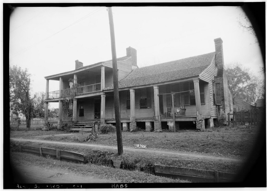
Magnolia Grove, Greensboro, Hale County, Alabama
Johnston, Frances Benjamin, 1939. Library of Congress
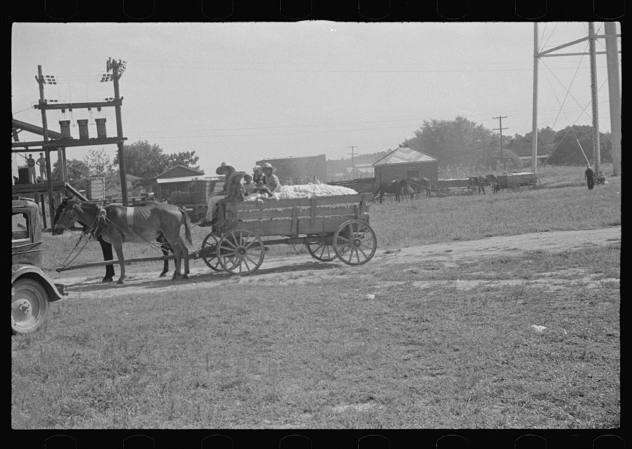
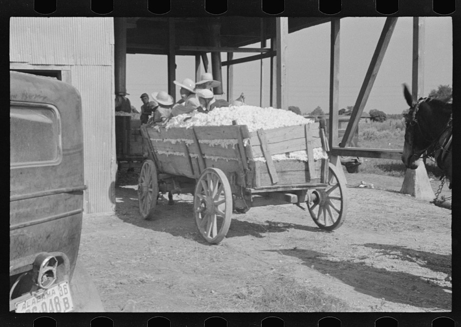
At the cotton gin. Cotton gin and wagons. Hale County, Alabama
Evans, Walker, 1936. Library of Congress
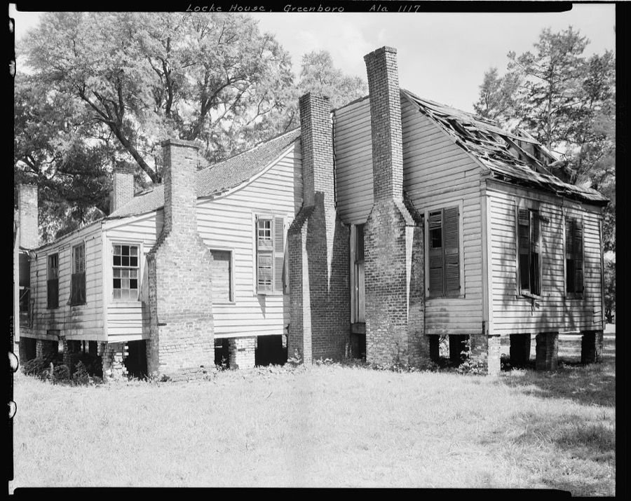
Gayle-Locke House, University Ave., University Ave., Greensboro, Hale County, Alabama
Johnston, Frances Benjamin, 1939. Library of Congress
Dora Mae Tengle, sharecropper's daughter, Hale County, Alabama
Evans, Walker, 1936. Library of Congress
Elizabeth Tengle on porch, Hale County, Alabama
Evans, Walker, 1936. Library of Congress
Elizabeth and Ida Ruth Tengle, Hale County, Alabama
Evans, Walker, 1936. Library of Congress
Laura Minnie Lee Tengle, Hale County, Alabama
Evans, Walker, 1936. Library of Congress
Dora Mae Tengle, Hale County, Alabama
Evans, Walker, 1936. Library of Congress
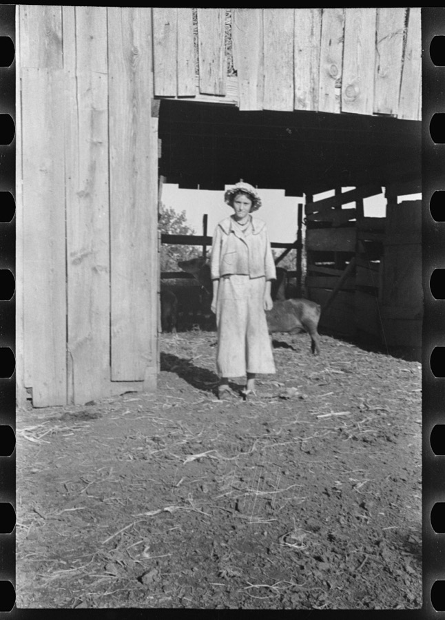
Pig in a sharecropper's yard, Hale County, Alabama
Evans, Walker, 1936. Library of Congress
Floyd Burroughs and Tengle children, Hale County, Alabama
Evans, Walker, 1936. Library of Congress
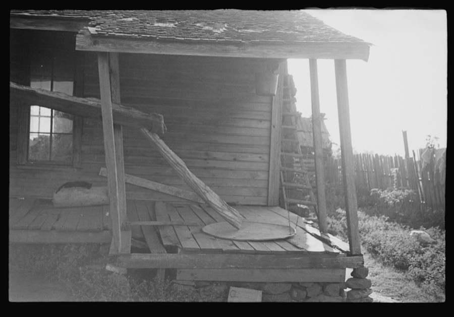
Porch of a sharecropper's cabin, Hale County, Alabama
Evans, Walker, 1936. Library of Congress
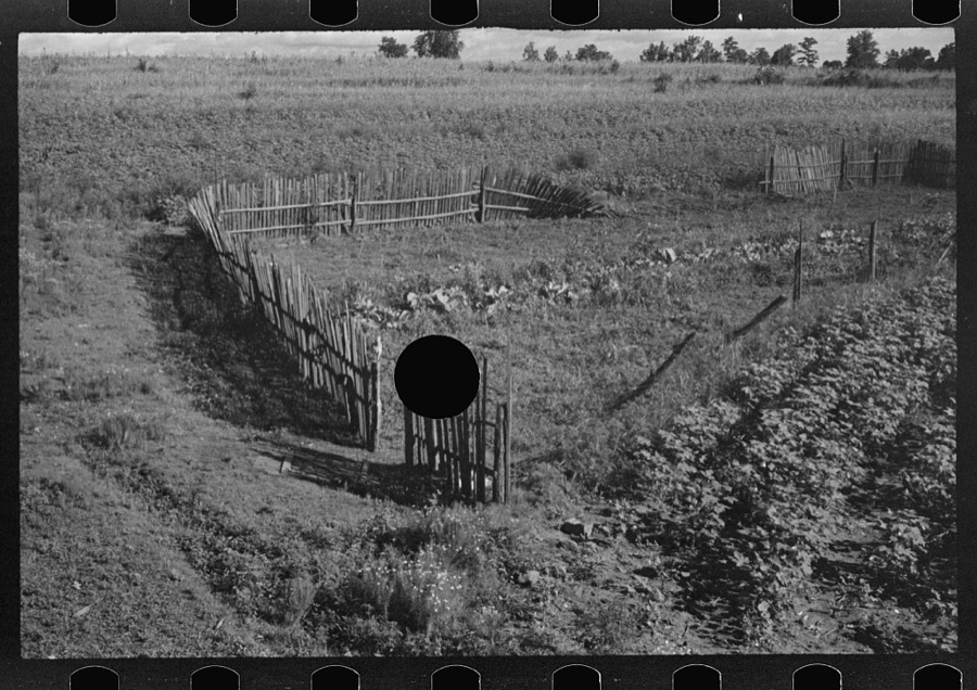
Bud Fields' garden, Hale County, Alabama
Evans, Walker, 1936. Library of Congress
Lily Rogers Fields and children. Hale County, Alabama
Evans, Walker, 1936. Library of Congress
Lucille Burroughs picking cotton, Hale County, Alabama
Evans, Walker, 1936. Library of Congress
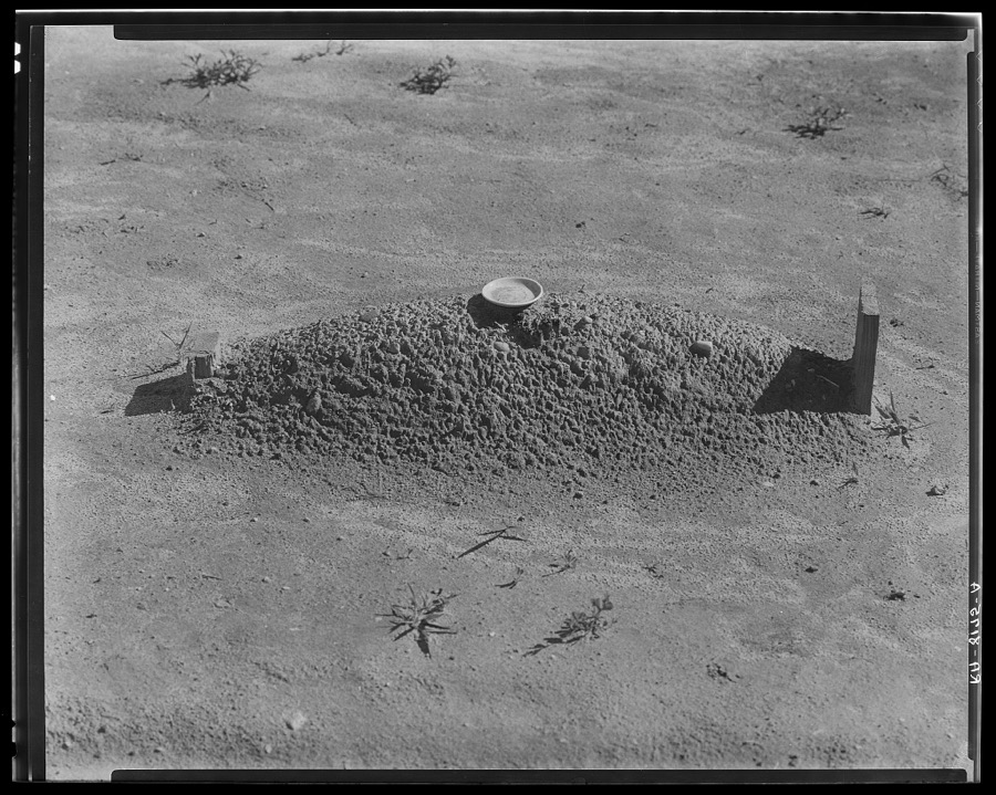
Sharecropper's grave. Hale County, Alabama
Evans, Walker, 1936. Library of Congress
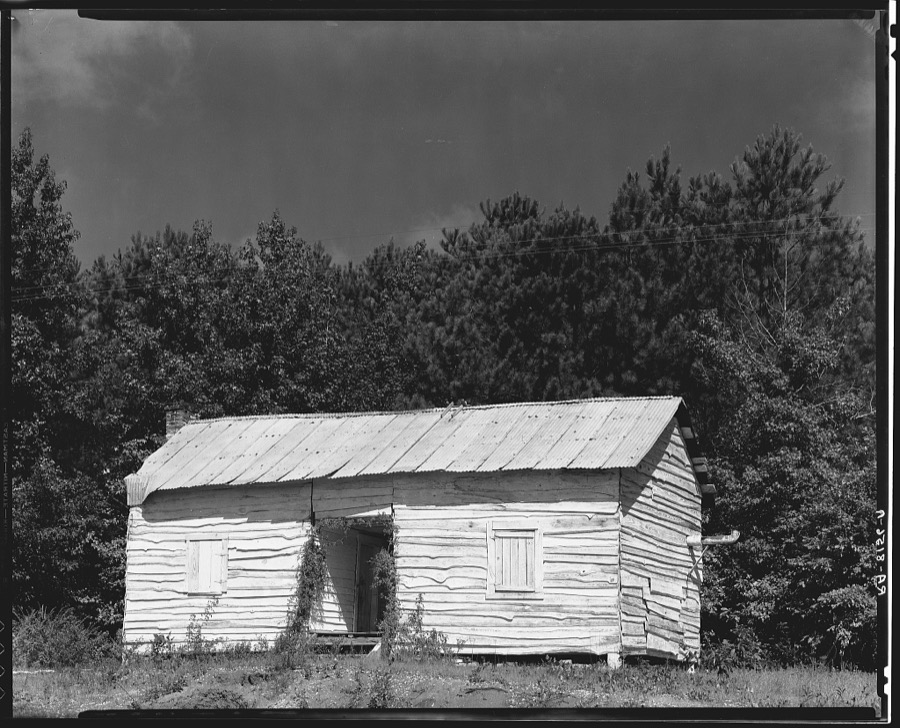
Negro cabin. Hale County, Alabama
Evans, Walker, 1936. Library of Congress
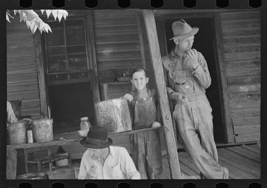
Bud Fields, Tengle boy, and Floyd Burroughs on Frank Tengle's porch, Hale County, Alabama
Evans, Walker, 1936. Library of Congress
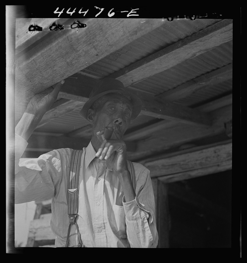
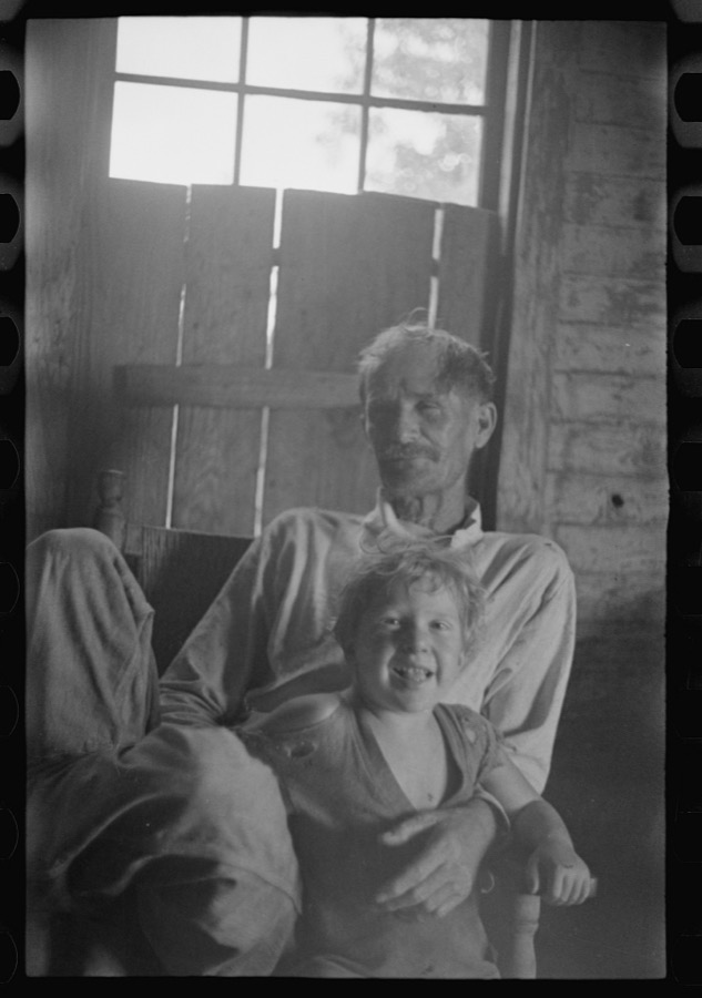
Old Negro farmer and his grandson, near Greensboro, Alabama
Delano, Jack, 1941. Library of Congress
Bud and William Fields, Hale County, Alabama
Evans, Walker, 1936. Library of Congress
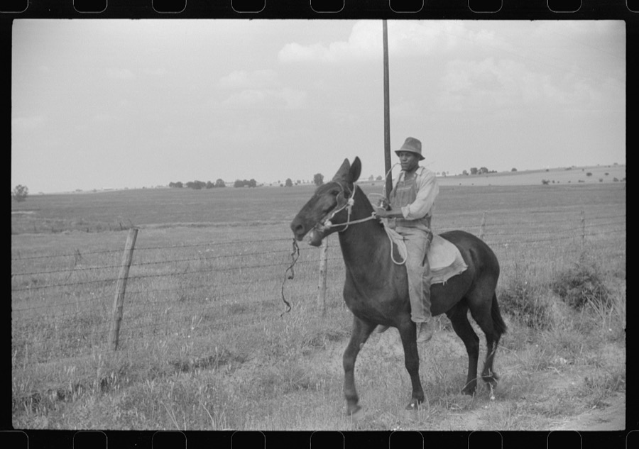
Negro cowhand in Hale County, Alabama
Delano, Jack, 1941. Library of Congress
Lily Rogers Fields and children. Hale County, Alabama
Evans, Walker, 1936. Library of Congress
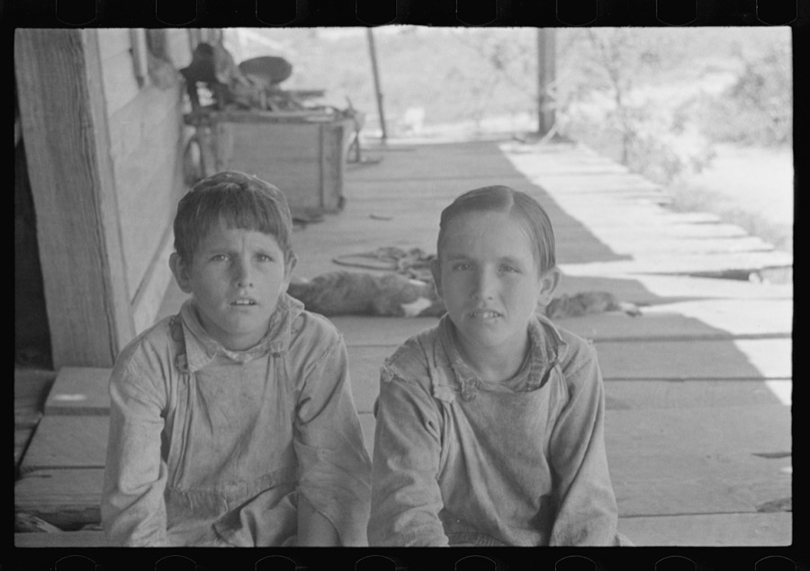
Tengle boys, Hale County, Alabama
Evans, Walker, 1936. Library of Congress
Negro cowhand in the Black Prairie region. Hale County, Alabama
Delano, Jack, 1941. Library of Congress
Negro cowhand in Hale County, Alabama
Delano, Jack, 1941. Library of Congress
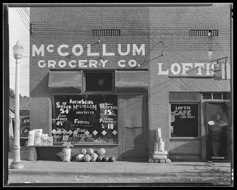
Grocery store. Greensboro, Alabama
Evans, Walker, 1936. Library of Congress
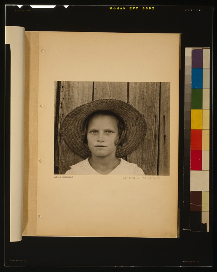
Lucille Burroughs
Lucille Burroughs
Evans, Walker, 1936. Library of Congress
Dr. Robert C. Hannah House, Church & South Streets, Greensboro, Hale County, AL
Photographer not recorded. Library of Congress

Places on the National Register

21

Every property in this county listed on the National Register of Historic Places, with the year it was listed and the federal nomination document.

Photograph PropertyType ListedReference
Batterseadistrict199494000698
Bermuda Hillbuilding199494000692
Borden Oaksdistrict199494000685
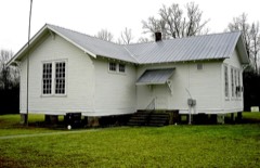
Emory Schoolbuilding199898000109
John Erwin Housebuilding197878000488
Greensboro Historic Districtdistrict197676000328
Hatch Housebuilding199191001483
Alfred Hatch Place at Arcoladistrict198887001784
Hawthornedistrict199494000694
Kerby Housedistrict199494000697
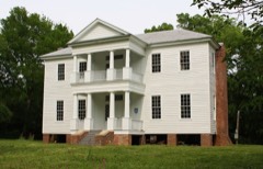
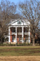
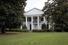
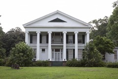
Magnolia Grovebuilding197373000345
Magnolia Hallbuilding2021100006665
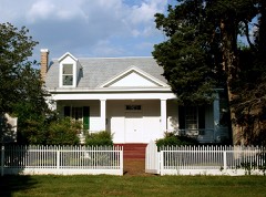
McGehee-Stringfellow Housebuilding198080000686
Millwooddistrict198989000314
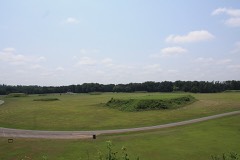
Moundvillesite196666000149
Oak Grove Schoolbuilding199898000108
Payne Housedistrict199494000690
Augusta Sledge Housedistrict199494000686
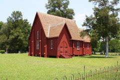
St. Andrew's Churchbuilding197373000347
Tanglewoodbuilding197373000346
Waldwicdistrict199494000684

Bird's-eye views and land ownership maps

1

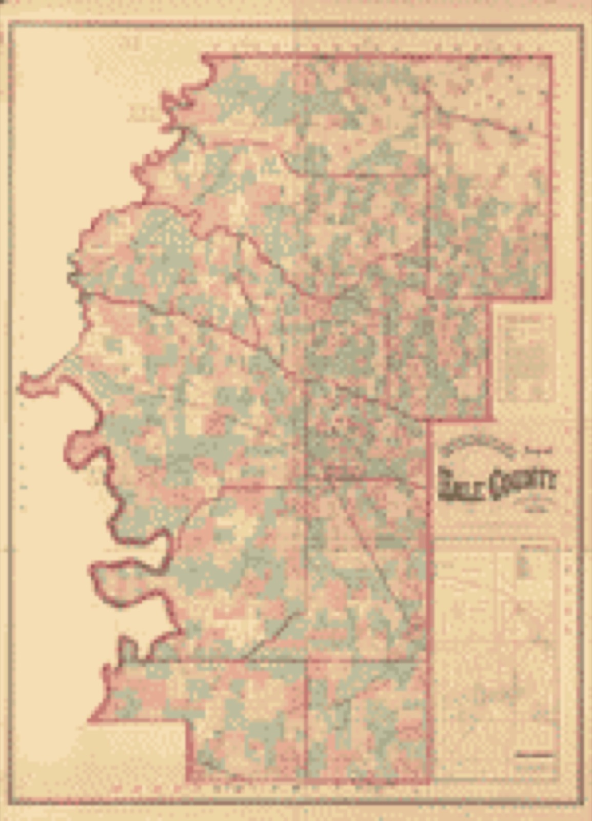
Drawn when these were printed as single large sheets: the town seen from the air, and the county divided into its farms with every owner named. Each opens the original at the Library of Congress.

Land ownership map, 1870 - Snedecor's map of Hale County, Alabama
Land ownership map (1870) - Snedecor's map of Hale County, Alabama. Library of Congress.

The county from the air

24 shown

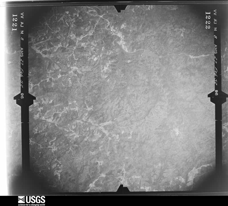
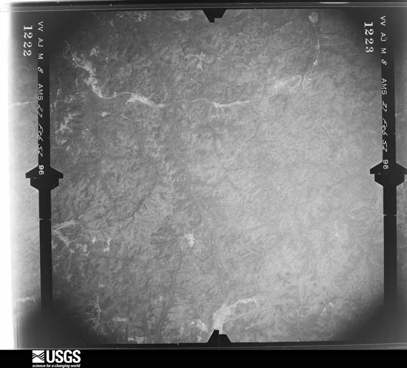
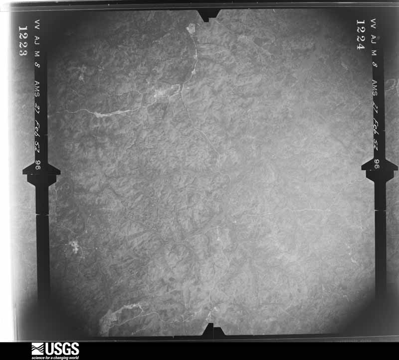
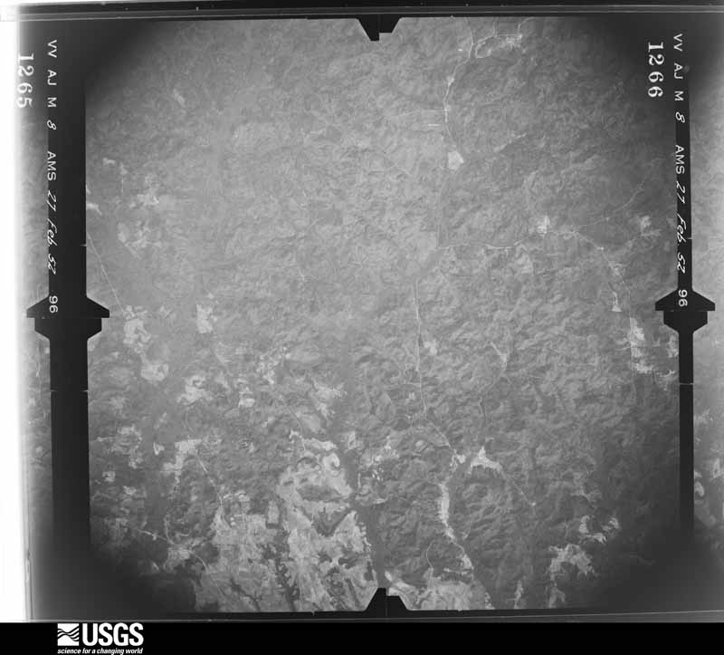
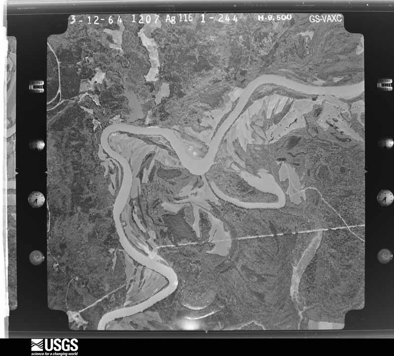
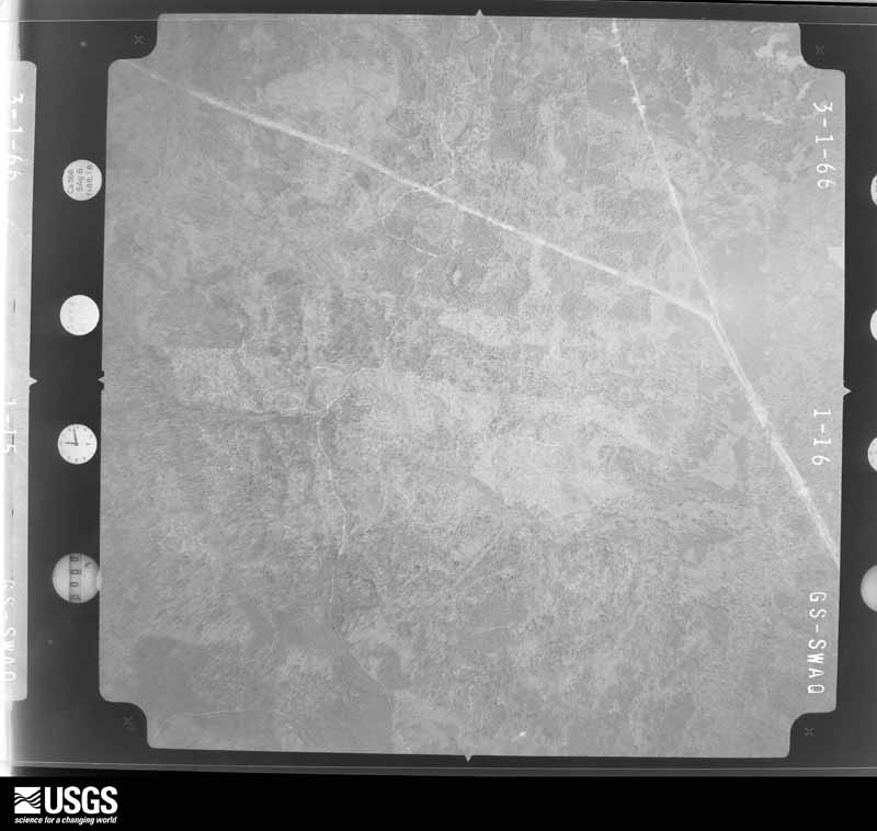
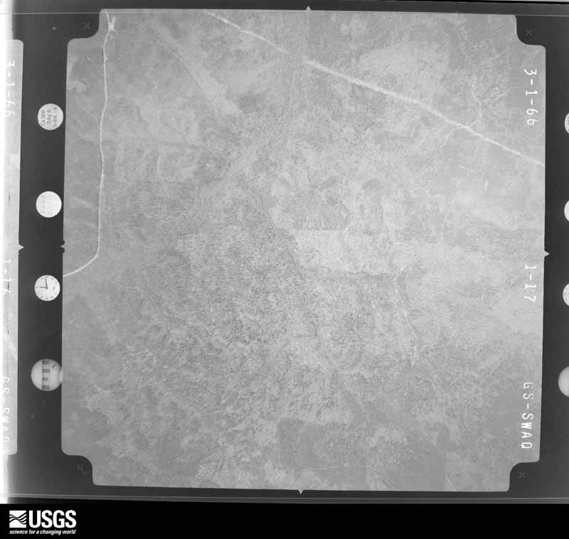
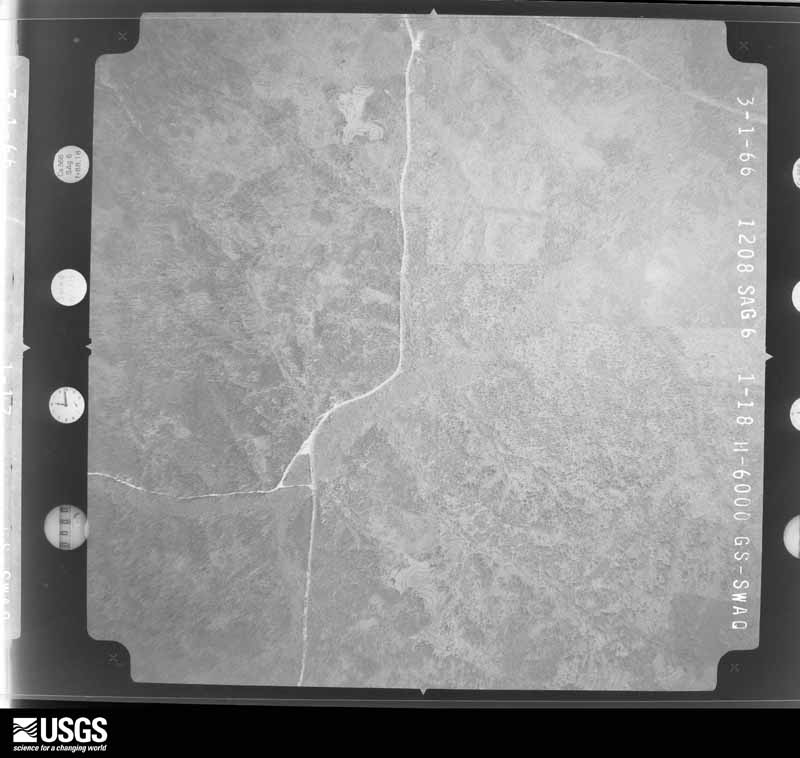
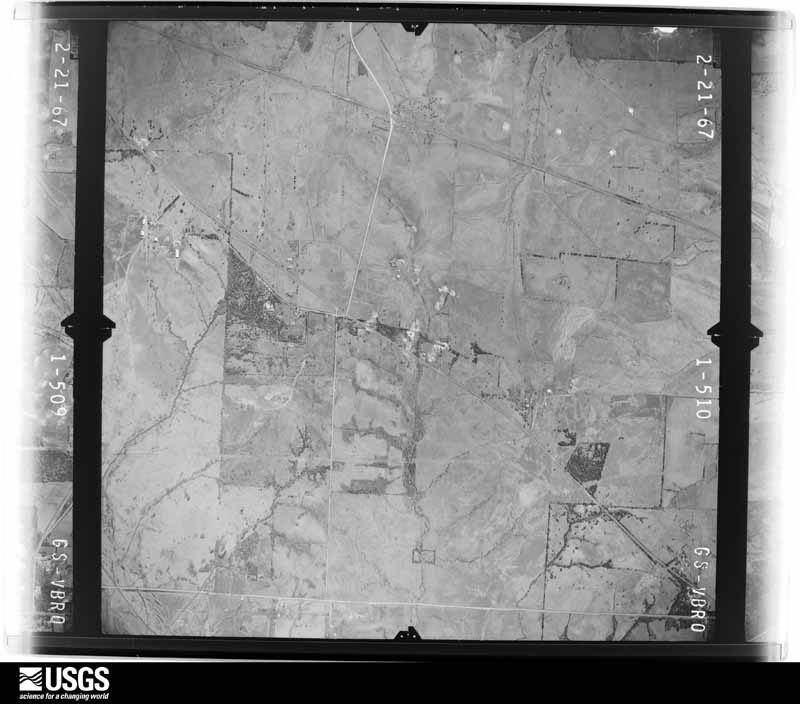
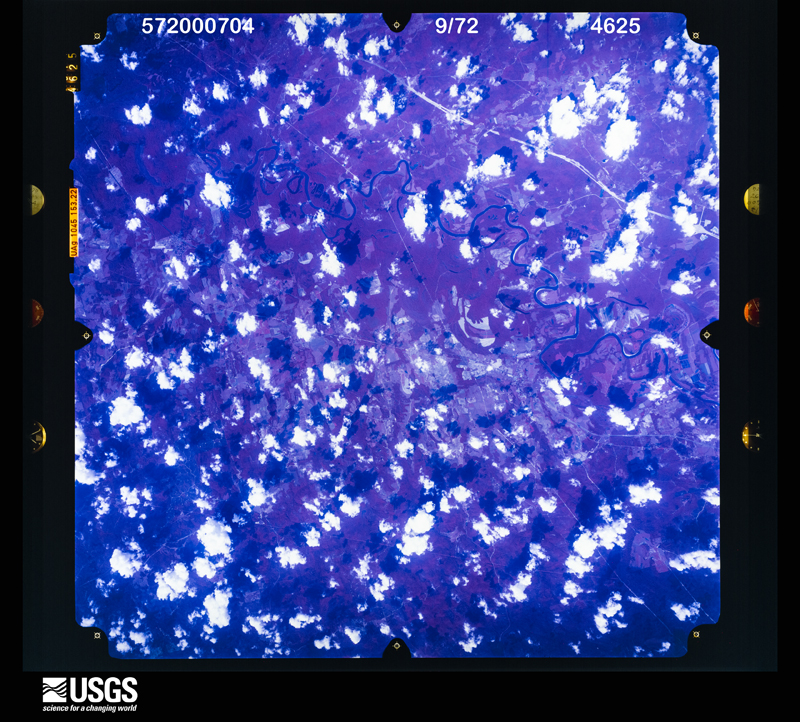
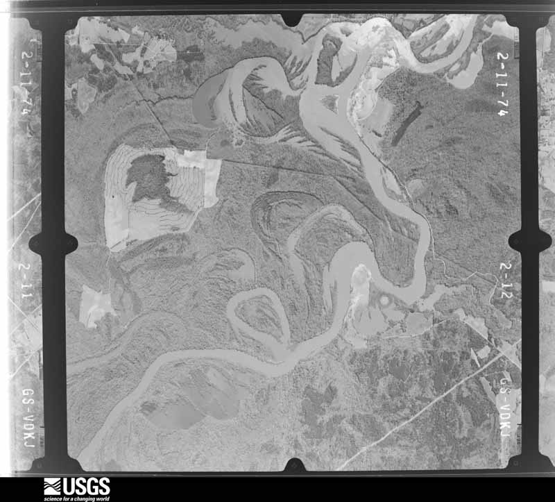
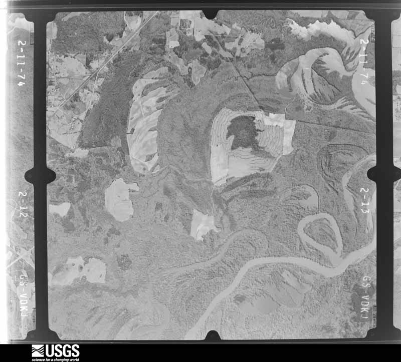
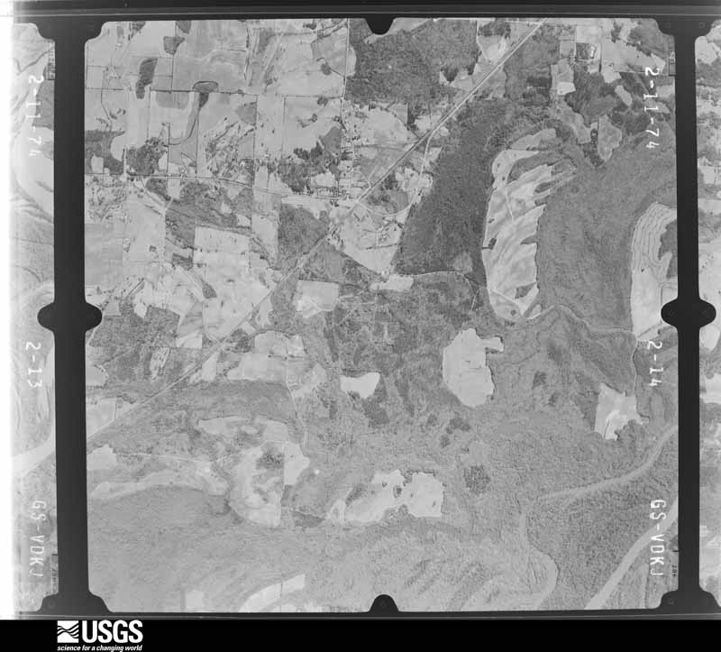
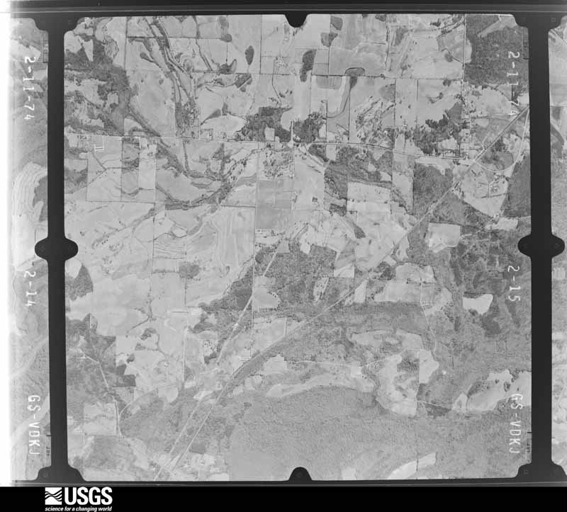
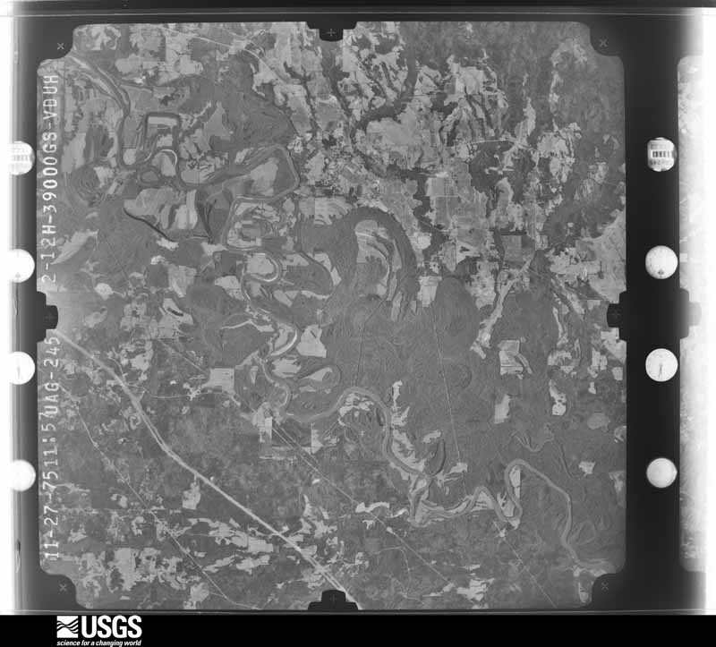
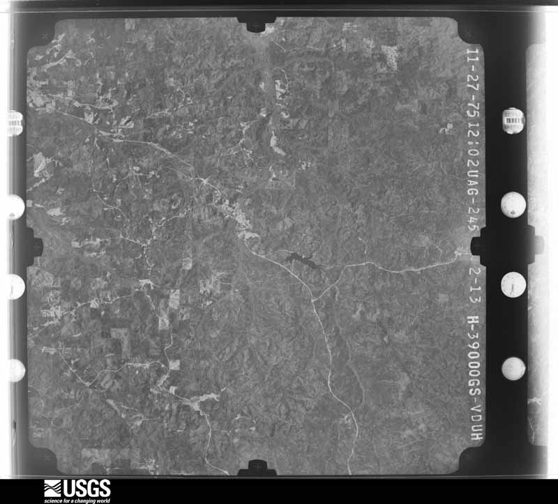
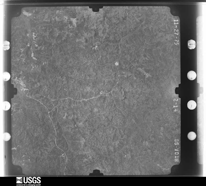
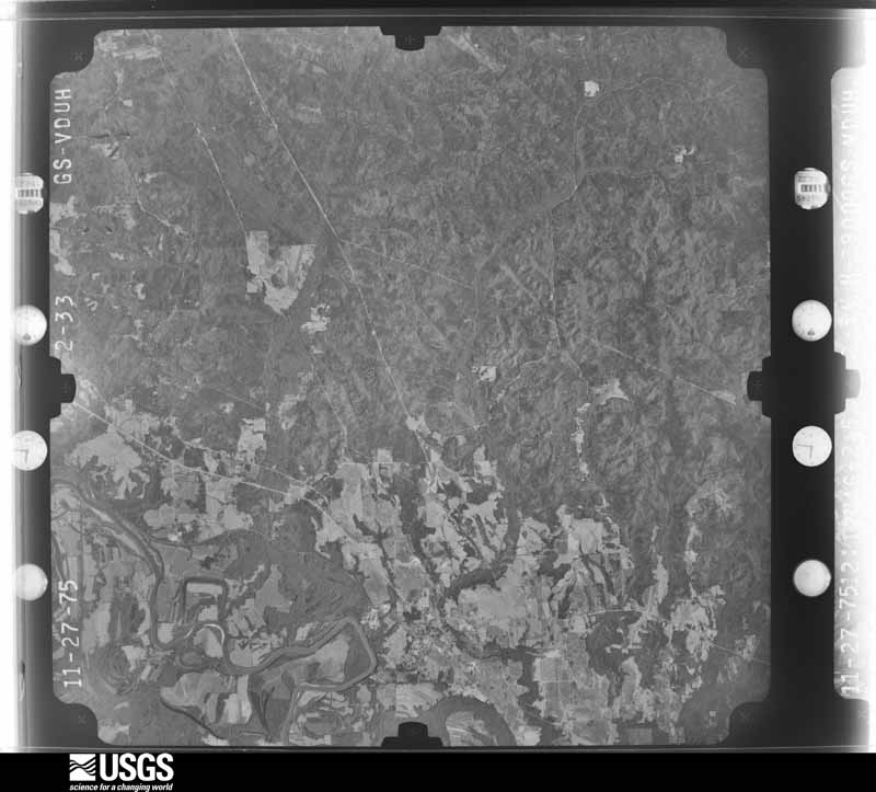
Flown by the U.S. Geological Survey between 1937 and 1989, the Aerial Photo Single Frames collection is the definitive mid-century view of the land: fields, roads and rivers as the camera saw them. The Survey holds 1,161 frames inside the rectangle that bounds this county; the 24 frames below were taken over the county itself, chosen across the decades of flights (at most four a year from that rectangle), so one flight cannot crowd out the rest. The full set is free to browse and download at EarthExplorer under the dataset Aerial Photo Single Frames.

U.S. Geological Survey aerial photograph, 1952-02-27, scale 1:69000
1952-02-27, scale 1:69000. U.S. Geological Survey aerial photograph.
U.S. Geological Survey aerial photograph, 1952-02-27, scale 1:69000
1952-02-27, scale 1:69000. U.S. Geological Survey aerial photograph.
U.S. Geological Survey aerial photograph, 1952-02-27, scale 1:69000
1952-02-27, scale 1:69000. U.S. Geological Survey aerial photograph.
U.S. Geological Survey aerial photograph, 1952-02-27, scale 1:69000
1952-02-27, scale 1:69000. U.S. Geological Survey aerial photograph.
U.S. Geological Survey aerial photograph, 1964-03-12, scale 1:19000
1964-03-12, scale 1:19000. U.S. Geological Survey aerial photograph.
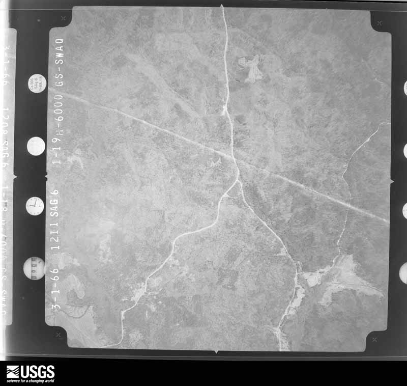
U.S. Geological Survey aerial photograph, 1966-03-01, scale 1:20500
1966-03-01, scale 1:20500. U.S. Geological Survey aerial photograph.
U.S. Geological Survey aerial photograph, 1966-03-01, scale 1:20500
1966-03-01, scale 1:20500. U.S. Geological Survey aerial photograph.
U.S. Geological Survey aerial photograph, 1966-03-01, scale 1:20500
1966-03-01, scale 1:20500. U.S. Geological Survey aerial photograph.
U.S. Geological Survey aerial photograph, 1966-03-01, scale 1:20500
1966-03-01, scale 1:20500. U.S. Geological Survey aerial photograph.
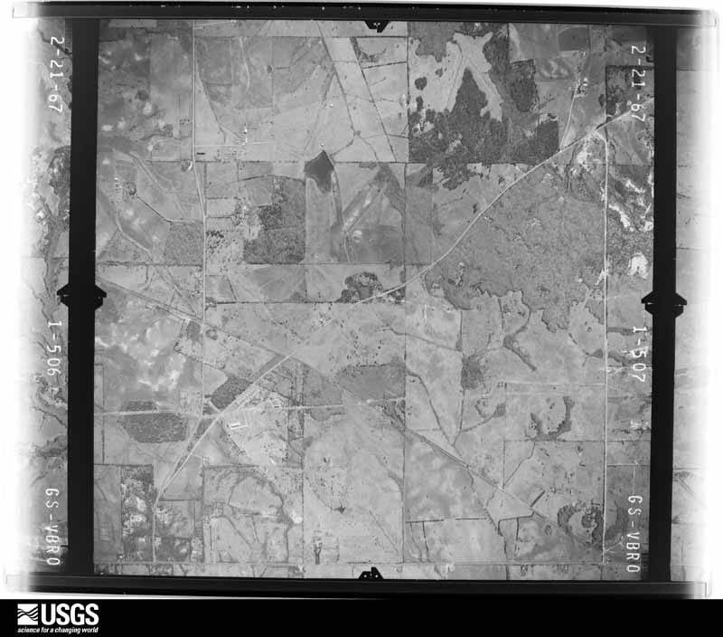
U.S. Geological Survey aerial photograph, 1967-02-21, scale 1:19000
1967-02-21, scale 1:19000. U.S. Geological Survey aerial photograph.
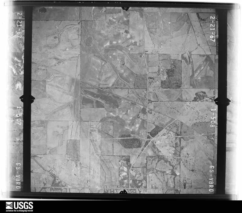
U.S. Geological Survey aerial photograph, 1967-02-21, scale 1:19000
1967-02-21, scale 1:19000. U.S. Geological Survey aerial photograph.
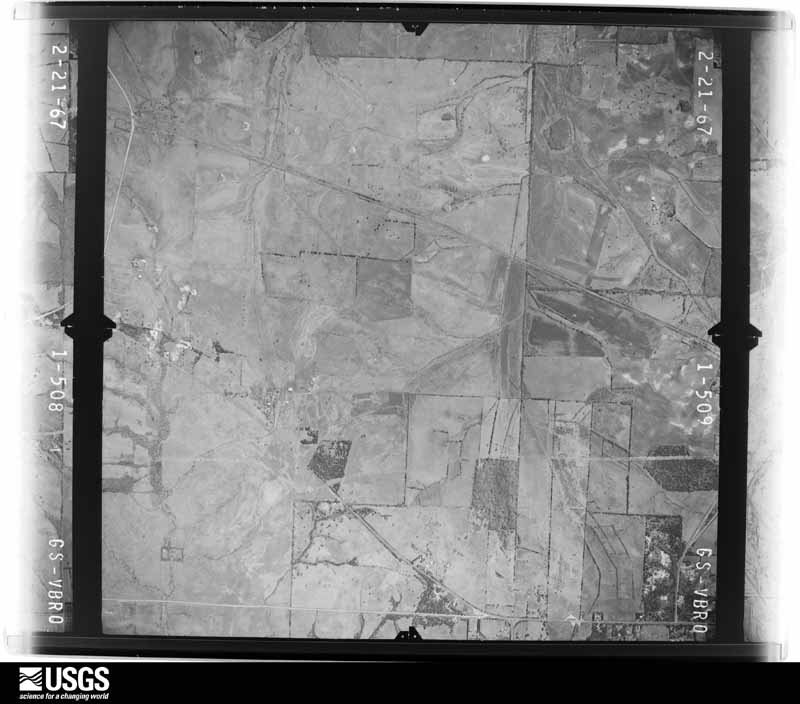
U.S. Geological Survey aerial photograph, 1967-02-21, scale 1:19000
1967-02-21, scale 1:19000. U.S. Geological Survey aerial photograph.
U.S. Geological Survey aerial photograph, 1967-02-21, scale 1:19000
1967-02-21, scale 1:19000. U.S. Geological Survey aerial photograph.
U.S. Geological Survey aerial photograph, 1972-09-24, scale 1:131000
1972-09-24, scale 1:131000. U.S. Geological Survey aerial photograph.
U.S. Geological Survey aerial photograph, 1972-09-24, scale 1:128000
1972-09-24, scale 1:128000. U.S. Geological Survey aerial photograph.
U.S. Geological Survey aerial photograph, 1972-09-24, scale 1:128000
1972-09-24, scale 1:128000. U.S. Geological Survey aerial photograph.
U.S. Geological Survey aerial photograph, 1974-02-11, scale 1:24000
1974-02-11, scale 1:24000. U.S. Geological Survey aerial photograph.
U.S. Geological Survey aerial photograph, 1974-02-11, scale 1:24000
1974-02-11, scale 1:24000. U.S. Geological Survey aerial photograph.
U.S. Geological Survey aerial photograph, 1974-02-11, scale 1:24000
1974-02-11, scale 1:24000. U.S. Geological Survey aerial photograph.
U.S. Geological Survey aerial photograph, 1974-02-11, scale 1:24000
1974-02-11, scale 1:24000. U.S. Geological Survey aerial photograph.
U.S. Geological Survey aerial photograph, 1975-12-01, scale 1:78000
1975-12-01, scale 1:78000. U.S. Geological Survey aerial photograph.
U.S. Geological Survey aerial photograph, 1975-12-01, scale 1:78000
1975-12-01, scale 1:78000. U.S. Geological Survey aerial photograph.
U.S. Geological Survey aerial photograph, 1975-12-01, scale 1:78000
1975-12-01, scale 1:78000. U.S. Geological Survey aerial photograph.
U.S. Geological Survey aerial photograph, 1975-12-01, scale 1:78000
1975-12-01, scale 1:78000. U.S. Geological Survey aerial photograph.

Weather records

6 stations, 5 gages

The thermometers that kept this county's weather, and the gages that measured the flow of its streams, as the federal records hold them. The extremes below are measured values from those records, not estimates.

The 1950 census, district by district

38 districts

Who lived here in 1950, one enumeration district at a time, as the Census Bureau described each district. Each row opens its official National Archives result, with Population Schedules and ED Maps available there.

  • 33-1Election Precinct 1, Havana
  • 33-2Election Precinct 2, Akron: Akron town
  • 33-3Election Precinct 2, Akron - That part outside Akron town
  • 33-4Election Precinct 3, Harrison Election Precinct 4, Greensboro: Greensboro town:
  • 33-5Greensboro town - That part north of State Highway 41 and east of State Highway 13
  • 33-6Greensboro town - That part west of State Highway 13 and north of State Highway 41
  • 33-7Greensboro town - That part south of State Highway 41
  • 33-8Election Precinct 4, Greensboro - That part north of State Highway 41 and east of State Highway 13, outside Greensboro town
  • 33-9Election Precinct 4, Greensboro - That part west of State Highway 13 and north of State Highway 41, outside Greensboro town
  • 33-10Election Precinct 4, Greensboro - That part south of State Highway 41 and west of State Highway 13, outside Greensboro town
  • 33-11Election Precinct 4, Greensboro - That part west of State Highway 61, and east of State Highway 13, outside Greensboro town
  • 33-12Election Precinct 4, Greensboro - That part south of State Highway 41 and east of State Highway 61, outside Greensboro town
  • 33-13Election Precinct 5, Newbern: Newbern town
  • 33-14Election Precinct 5, Newbern - That part outside Newbern town
  • 33-15Election Precinct 6 Sawyerville: Election Precinct 6, Sawyerville - That part north and east of State Hwys. 41 and 60
  • 33-16Election Precinct 6, Sawyerville - That part west of State Hwys. 60 and 41 and northwest of St. Mathews School Road
  • 33-17Election Precinct 6, Sawyerville - That part south of State Highway 41, west of St. Peters Church - Sawyerville Road and southwest of St. Mathews School Road, excluding State Cattle Ranch Prison (part)
  • 33-18State Cattle Ranch Prison - That part in Election Precinct 6, Sawyerville (Remainder of State Cattle Ranch Prison is in Election Precinct 7, Cedarville)
  • 33-19Election Precinct 6, Sawyerville - That part south of State Highway 41 and east of St. Peters Church - Sawyerville Road
  • 33-20Election Precinct 7, Cedarville: Election Precinct 7, Cedarville - That part west of State Highway 13, north of Newbern Road from Cedarville to Sawyerville Road and east of Sawyerville Road to North Precinct line, excluding State Cattle Ranch Prison (part)
  • 33-21State Cattle Ranch Prison - That part in Election Precinct 7, Cedarville (Remainder of State Cattle Ranch Prison is in Election Precinct 6, Sawyerville)
  • 33-22Election Precinct 7, Cedarville - That part west of Sawyerville Road to Newbern Road and northwest of Lock #5 School Road to west Precinct line, excluding State Cattle Ranch Prison (part)
  • 33-23Election Precinct 7, Cedarville - That part southeast and south of Lock #5 School Road and Newbern Road from west Precinct line to Cedarville and west of State Highway 13
  • 33-24Election Precinct 7, Cedarville - That part east of State Highway 13
  • 33-25Election Precinct 8, Prairieville: Election Precinct 8, Prairieville - That part east of State Highway 13 and south of U.S. Highway 80
  • 33-26Election Precinct 8, Prairieville - That part west of State Highway 13 and north of U.S. Highway 80
  • 33-27Election Precinct 9, Laneville: Election Precinct 9, Laneville - That part north of Dry and Big Prairie Creeks
  • 33-28Election Precinct 9, Laneville - That part south of Big Prairie and Dry Creeks
  • 33-29Election Precinct 10, Halls Store
  • 33-30Election Precinct 11, Five Mile
  • 33-31Election Precinct 12, Moundville: Moundville town
  • 33-32Election Precinct 12, Moundville - That part east of State Highway 13, outside Moundville town
  • 33-33Election Precinct 12, Moundville - That part west of State Highway 13, outside Moundville town
  • 33-34Election Precinct 13, Phipps
  • 33-35Election Precinct 14, Geddie
  • 33-36Election Precinct 16, Stewarts Station: Election Precinct 16, Stewarts Station - That part southeast of Alabama Great Southern Railroad
  • 33-37Election Precinct 16, Stewarts Station - That part northwest of Alabama Great Southern Railroad
  • 33-38Election Precinct 18, Ingrem

Wildfire, 1994 to 2020

618 fires

Every wildfire the federal occurrence database records inside this county: 618 of them, burning about 5,640 acres. 20 started naturally and 95 were recorded as arson. Each settlement page carries the fires within five miles of it.

Reported cause Fires
Debris and open burning245
Missing data/not specified/undetermined125
Arson/incendiarism95
Equipment and vehicle use50
Recreation and ceremony29
Natural20
Smoking20
Misuse of fire by a minor11
Power generation/transmission/distribution10
Railroad operations and maintenance6
Other causes5
Fireworks2

The five largest, by the area the report gives. Four of them were set deliberately.

DateCause SizeReported by Name on the report
1 February 2019Missing data/not specified/undetermined1,262 acresNational Forests in AlabamaBIG CANDLE
2 October 2019Arson/incendiarism721 acresNational Forests in Alabama701G
10 September 2019Arson/incendiarism413 acresNational Forests in Alabama701
3 July 2012Natural145 acresAlabama Forestry CommissionNWR-20120703-005
17 November 1999Arson/incendiarism141 acresNational Forests in AlabamaCRIPPLEMAN 706B
25 January 2013Recreation and ceremony136 acresNational Forests in AlabamaLOST
17 November 1999Arson/incendiarism75 acresNational Forests in AlabamaCRIPPLEMAN 750B
5 March 2006Debris and open burning73 acresAlabama Forestry Commissionnot named

Every settlement page carries the fires within five miles of it - see the settlement index below.

Storms, 1957 to 2025

60 of 240 shown

The NOAA Storm Events Database holds 240 reports for this county, causing 12 deaths, 147 injuries and about $48,686,500 in recorded property damage. Each settlement page carries the reports that name it.

Kind of event Reports
Thunderstorm Wind108
Hail59
Tornado57
Flash Flood12
Lightning2
Funnel Cloud1
Heavy Rain1

The most serious of them, by death, then injury, then recorded damage. The accounts are quoted exactly as the forecast office filed them.

WhenEvent Place namedHarm What the report says
April 2011Tornado (EF3)Sawyerville6 killed, 40 hurt, $17,000,000A tornado touched down in southwestern Greene County near Tishabee, and moved northeast through central Hale and Bibb Counties. The tornado then lifted near Marvel in far northeast Bibb County. The tornado crossed the Black Warrior River and into Hale County west of Sawyerville. The tornado crossed AL Route 14, just north of Sawyerville, intensifying to an EF3 rating with winds of 145 mph. As the tornado continued northeast, it crossed CR 18, CR 21, AL Hwy 69 south of Harper Hill, and CR 29 east of Ingram. Extensive structural damage was noted in the these locations, which resulted in at least 40 injuries and 6 fatalities. Numerous mobile homes and single family homes and one church were damaged or destroyed. Thousands of trees were knocked down. The tornado moved into the Talladega National Forest near Ingram, where it caused significant tree damage to the Bibb County line.
March 1992Tornado (F3)not stated2 killed, 7 hurt, $250,000no account filed
May 1999LightningGallion2 killed, 1 hurtTwo men were killed as they took shelter on shore after getting off the water. The two men had headed out for a fishing trip on the Black Warrior River. The event occurred near the Arcola Landing. The wife of the elder man was knocked unconscious when the lightning struck, however, she had moved away from the two men just before the lightning strike occurred.
May 1973Tornado (F4)not stated1 killed, 72 hurt, $25,000,000no account filed
February 2022Tornado (EF2)Sawyerville1 killed, 8 hurtNational Weather Service meteorologists surveyed damage in western Hale County and determined that it was consistent with an EF2 tornado, with maximum winds near 135 mph. The tornado crossed into Hale County from Greene County and intensified, uprooting and mowing down hundreds of trees as it moved along Bass Lane near the Black Warrior. The tornado then crossed Mason Bend Road where it snapped numerous hardwood and softwood trees, destroying several manufactured homes, and which resulted in a few minor injuries. One unoccupied single-wide manufactured home rolled over and landed upside-down on top of a car. From there it continued east-northeast, crossing Erie Road and County Road 92 with slightly less intense damage to trees. As it approached Alabama Highway 14, just north of Sawyerville, several homes were damaged, and one double-wide was destroyed, causing several injuries. The tornado turned over a fish truck causing the load of fish to be scattered across the road, and it deposited two pickup trucks into a nearby pond. The tornado continued east-northeast snapping and uprooting trees as it crossed County Road 17.||As it approached County Road 30, the tornado reached its maximum intensity of about 135 mph. A double-wide manufactured home was torn from its anchors, lofted and tossed approximately 50 yards across the road, resulting in one fatality and two serious injuries. A site-built home across the street sustained significant roof damage and broken glass. A double-wide manufactured home a few hundred yards south of the first home was split in two, with one half of the home remaining anchored while the other half rolled away. The tornado then crossed wooded land and pastures on either side of Big Brush Creek, before crossing County Road 21, snapping and uprooting numerous trees. Similar, but less consistent damage, continued as it crossed Raspberry and Hubbard Roads before moving over inaccessible woods and pastures along Five Mile Creek. The tornado continued to weaken as it crossed Highway 69 near Harper Hill, causing only sporadic tree damage. The tornado dissipated somewhere between Harper Hills Road and County Road 31.
March 2021Tornado (EF3)Greensboro Muni Arpt6 hurtNational Weather Service meteorologists surveyed damage in northern Hale County and determined that it was consistent with an EF3 tornado, with maximum winds near 150 mph.||A strong, long-track tornado traveled across Hale, Perry, Bibb, Chilton, and Shelby Counties during the afternoon of March 25, 2021. It is estimated that the tornado had a 98 minute life span, with a path length near 80 miles. It is impossible to know the exact number, but tens of thousands of trees were snapped or uprooted. The volume and extent of snapped trees pushed the rating to EF-3, around 150 mph. Along the tornados path, hundreds of residences were damaged or destroyed, either directly by wind or due to fallen trees.||The tornado began along Highway 17 just south of the town of Sawyerville. The tornado rapidly gained strength and widened as it neared and crossed Highway 14. Across Hale County, a large swath of hardwood and softwood trees were uprooted. Some debarking of trees was observed just south of Highway 14, probably from high velocity debris throwing. Five large transmission towers were downed on the north side of Highway 14. These towers are rated for 120+ mph winds according to representatives from Alabama Power. It is unknown whether this was due to a domino effect or direct blowdown of each tower. Either way, a powerful tornado occurred. Residential damage included wall collapse, roofing torn off, shifting off of foundation, or total structural loss. There were six minor injuries in Hale County.
November 1957Tornado (F1)not stated5 hurt, $250,000no account filed
July 1998Thunderstorm WindHavana3 hurt, $120,000A strong downburst apparently occurred when a thunderstorm developed and collapsed rapidly upon the interaction with an outflow boundary from other nearby convection in the area about 2.6 miles west of Havana in northern Hale County. One business (a small grocery) was partially deroofed (essentially destroyed), four mobile homes were damaged including one that was completely flipped over, one that lost shingles, one that was pushed off it's blocks, and one that was sliced by a falling tree. The three injuries, all minor, occurred in the mobile home that flipped. Numerous trees were downed including some that were estimated to be over 200 years old. Trees were downed in an area that extended for about 2.5 miles west and southwest of the heaviest damage.
October 2007Tornado (EF1)Sledge2 hurt, $92,000The tornado touched down along County Road 12, just east of the Laneville Community. It then tracked north northeast, crossing County Road 16 and State Highway 61, before lifting near the intersection of State Highway 61 and County Road 24. At least 20 homes sustained damage, with 11 of the homes severely damaged. One airplane hangar near the intersection of County Road 24 and State Highway 61 suffered major damage. Numerous trees were either uprooted or snapped off along the path, and at least 20 vehicles sustained varying degrees of damage. The highest winds affected areas near the intersection of County Road 10 and Dodge City Road. There were two minor injuries as a result of the storm.
February 2025Tornado (EF1)Oak Grove2 hurtNational Weather Service meteorologists surveyed damage in|southern Hale and Perry Counties and determined that the damage|was consistent with a tornado. The start of the tornado was|estimated to be just west of Alabama Highway 69, where tree|damage was observed in an inaccessible area. The tornado|continued eastward, moving parallel to County Road 10. Along the|roadway, numerous trees were snapped or uprooted, along with at|least 40 to 50 power poles snapped. A site built home sustained|roof damage along with farm outbuildings that sustained|significant damage. The tornado gained strength as it moved east|of Alabama Highway 25, where EF-1 damage occurred. Multiple|manufactured homes were severely damaged due to large trees|falling on top of them, while another manufactured home was|destroyed due to tornadic wind gusts estimated around 95mph. |Residents who were inside the homes received the tornado warning|on their mobile phones, and were able to quickly take as much|shelter as they could. A mother and her two kids in one home took|shelter in their bathtub, which ended up being the only room in|the home that did not sustain major damage. Two injuries occurred|where the homes were damaged, and the maximum width was estimated|to be 200 yards at this location. The tornado continued eastward|and crossed Alabama Highway 61 into Perry County. Maximum estimated winds on the Hale County portion were 95 mph. Total path length was 18.37 miles.
February 2025Tornado (EF0)Powers1 hurtA National Weather Service damage survey in Moundville revealed|an EF-0 tornado that occurred early on February 16. The tornado|began in a wooded area near Green Ridge Rd and moved east-|northeastward. Along Power Loop Rd, several pine trees had tops|snapped off or large limbs broken. A few other pines were|uprooted near a residence, and a barn sustained roof damage. A|large tree fell on the backside of a house at 2nd Ave and Maple|Leaf Lane, causing significant damage and resulting in an injury.|Between Maple Leaf Lane and Jamestown Circle, several tree limbs|were snapped and a trampoline was flipped. Tree damage continued|through another wooded area to just west of the Hale County High|School football field, where the path appeared to end just west|of Highway 69. Maximum winds were estimated at 75 mph.
April 2011Tornado (EF2)Arcola$2,980,000The second segment of this tornado crossed into Hale County, just north of Creehill Creek. This tornado began in Greene County 2.2 miles east of Forkland. The tornado moved northeast into Hale County where it snapped and uprooted hundreds of trees. As the tornado crossed State Highway 14, it strengthened to an EF-2 rating, with maximum winds of 130 mph. Three mobile homes were severely damaged just north of Greensboro. The tornado lifted north of State Highway 25, 2.4 miles west of the Bibb County line.
April 2011Tornado (EF2)Greensboro$374,000A tornado touched down near State Highway 14 in Hale County. As it moved northeast, several hundred trees were snapped or uprooted. Several homes and businesses sustained moderate roof damage and a church sustained significant damage to the windows and one wall. Although no injuries were reported, one person remained trapped in their overturned mobile home for several hours. The tornado lifted near State Highway 69.
April 2011Tornado (EF1)Hogglesville$350,000A tornado initially touched down in eastern Hale County and tracked northeast into the Talladega National Forest and western Bibb County. The tornado lifted just east of Mertz. The tornado touched down east of CR 85, southwest of Hogglesville and tracked northeast along CR 25. As the tornado moved through Wateroak, a mobile home and a business were damaged. Significant tree damage was also noted along the path. Damage was consistent with an EF1 rating and winds of 110 mph. The tornado moved into Bibb County south of CR 25.
June 1982Tornado (F1)not stated$250,000no account filed
March 1973Tornado (F2)not stated$250,000no account filed
November 1966Tornado (F2)not stated$250,000no account filed
April 2004Thunderstorm WindWedgeworth$150,000no account filed
May 2009Thunderstorm WindGreensboro$100,000Numerous trees and power lines were blown down across Hale County, including around Greensboro. A total of 9 homes were damaged by fallen trees, including 5 homes in the Faunsdale area. One mobile home had its roof torn off.
March 2011Flash FloodMoundville$75,000As a result of heavy rainfall, 8 homes in the Moundville area were flooded. Three of these homes were on Lock 9 Road and 5 of these homes were in the Old Lock 5 area.
May 2009Tornado (EF1)Newbern$75,000A brief tornado touched down along CR-10 west of AL-61, which is south southwest of Newbern in the Sunshine Community. The roof and metal siding was completely taken off one barn, and partially off another. Another cinder block building on the farm sustained roof damage. A few trees were blown down along the short path.
May 2003HailGreensboro$75,000A large swath of hail moved through the heart of Hale County. Hail up to the size of baseballs was reported along the path. Several automobiles received windshield damage from the large hail. Several trees and power lines were also blown down during this storm near Greensboro. This was the third large hail producing storm to affect Hale County during the afternoon hours.
April 2010Tornado (EF0)Greensboro$60,000The tornado first touched down about 5 miles northeast of Greensboro, near the intersection of AL-25 and Crawford Road. It then tracked northeastward, roughly parallel to AL-25, for nearly 6 miles, and lifted just north of Starling Road. Three homes sustained minor damage, one barn was destroyed, and metal sheeting was torn off an outbuilding. At least 40 trees were uprooted along the path, some of them blocking portions of AL-25.
February 2007Tornado (EF0)Whitsitt$50,000The tornado touched down in far eastern Hale County just west of the town of Newbern, and then traveled east-southeast. The most extensive damage occurred in the Newbern area, on Baby Road. Several old barns and metal sheds were lightly damaged, and numerous trees were downed, including at least one that fell onto a mobile home. The tornado then continued on into extreme western Perry County.|
April 2003HailMoundville$50,000The storm then headed into Hale County where it continued producing large hail and damaging winds from near the Black Warrior River to near Payne Lake. In fact, the hail was larger ranging from 3/4 of an inch up to an 1.50 inches. Several trees were also blown down along the path in Hale County. Funnel clouds were reported as the storm moved across the county. The hail may have been larger because a few vehicles were damaged by the large hail.
March 1994Thunderstorm WindGreensboro$50,000A mobile home was destroyed and a portion of a building supply company was damaged in thunderstorm wind.
April 2003HailAkron$45,000Penny to golf ball size hail fell along the path of the storm. Several trees were also blown down near Akron. A few vehicles were damaged by the hail.
May 2003HailAkron$40,000Nickel to golf ball size hail fell across northern Hale County.
April 2003HailCedarville$35,000Supercell 3 produced a weak tornado at its initiation then strengthened as it entered south central Hale County. A swath of penny to golf ball size hail was produced along the path from near Cedarville to near Newburn. The hail may have been larger but fell over mostly rural farming country. A few automobiles and homes were damaged. Several trees were also blown down near Newburn.
June 1998Thunderstorm WindGreensboro$30,000Trees and power lines were down in Greensboro.
April 2004HailWedgeworth$30,000no account filed
January 1998Flash FloodCountywide$30,000no account filed
January 2005Tornado (F0)Greensboro$27,000The first tornado of 2005 occurred in Hale County. The weak tornado touched down approximately 3 miles southwest of Greensboro near State Highway 69. Several out-buildings were destroyed near the Thigpen residence on Highway 69 south. One house had significant roof damage and one vehicle sustained body and window damage. One tractor had the enclosed top ripped off. At least 50 trees were snapped off or blown over along the short path. The brief tornado touched down at 1112 pm and lifted at 1114 pm CST. The tornado was rated an F0. The tornado damage path was approximately 3/4 of a mile long and 75 yards wide at its widest point. Begin: 32 40.200/87 38.428 End: 32 40.452/87 37.55
September 2009Flash FloodMoundville$25,000Numerous roads in the city of Moundville had to be closed due to flooding, and water entered and damaged several homes in the area.
November 2001Tornado (F0)Cedarville$25,000A supercell tornado produced an F0 tornado near Cedarville. The tornado began at 12:34 pm about 1 mile south of Cedarville on SR 69. The tornado snapped and uprooted several trees along its path. One farm received damage to a few structures including one barn that had its roof torn off. Two automobiles were damaged by flying debris. The tornado ended at 12:36 pm near CR 9 just north of CR 16. The tornado path was 2.1 miles long and 75 yards wide at its widest point. The tornado remained over rural farmland for most of its path. Beg: 32 35.959/87 41.096 End: 32 37.530/87 38.748
February 1984Tornado (F1)not stated$25,000no account filed
December 1983Tornado (F1)not stated$25,000no account filed
September 1979Tornado (F1)not stated$25,000no account filed
March 1973Tornado (F2)not stated$25,000no account filed
March 1970Tornado (F2)not stated$25,000no account filed
December 1961Tornado (F2)not stated$25,000no account filed
December 2009Thunderstorm WindGreensboro$22,000Several trees were blown down in and around the city the Greensboro. One tree landed on a home and briefly trapped the occupant inside. No injuries were reported.
March 2005Thunderstorm WindCountywide$22,000Several trees and power lines were blown down countywide. The greatest damage occurred in and around the city of Greensboro, around the Friendship community, and around Mt Herman.
March 2009Thunderstorm WindGreensboro$20,000A tree was blown down and heavily damaged an outbuilding and crushed a vehicle.
August 2006LightningGreensboro$20,000Several lightning strikes across Hale County produced fires and subsequent damage, including to the hospital in Greensboro.
November 2006Tornado (F1)Greensboro Muni Arpt$20,000The tornado touched down just west of County Road 35, between County Road 24 and County Road 73, which is about 7 miles southwest of Greensboro. The tornado then tracked northeastward, and crossed County Roads 24 and 28, State Highway 14, County Roads 21 and 19, and State Highway 69. The tornado lifted just north of County Road 4 near its intersection with State Highway 69. One barn was destroyed and several out-buildings were damaged or destroyed along the path. Hundreds of trees were either snapped off or blown down. One tractor and one automobile were damaged.
April 2005HailAkron$16,000no account filed
April 2009Tornado (EF0)Whitsitt$15,000The tornado touched down just to the west of AL-25 about 1 1/2 miles north of the the town of Whitsitt. It then traveled east-northeast over County Road 47 and lifted just to the east of AL-61, south of the County Road 24 intersection. About 50 trees were snapped or uprooted, and a metal roof was peeled off of an outbuilding.
April 2011Thunderstorm WindGreensboro$12,000Numerous trees were blown down across the county, including around the city of Greensboro.
September 2011Tornado (EF0)Hogglesville$12,000An EF0 tornado, associated with the remnants of Tropical Storm Lee, with estimated peak winds of 70 MPH touched down approximately 8 miles northeast of Greensboro, near the intersection of County Road 32 and County Road 51. The tornado moved north-northeast, parallel to Alabama Highway 25, and lifted just north of Starling Rd. The tornado snapped off or uprooted several trees. The downed trees caused roof damage to a house and a small storage barn. The metal roof panels of another outbuilding were torn off.
April 2003Flash FloodCountywide$12,000Several county roads were temporarily impassable due to flooding. US 80 was closed across southern Hale County due to high water.
April 1996Thunderstorm WindGreensboro$12,000no account filed
April 2010Tornado (EF1)Arcola$10,000After touching down in Marengo County, and moving across a portion of Greene County, the Demopolis Tornado crossed the Black Warrior River for a second time and moved into Hale County. Within Hale County, the tornado stayed over primarily wooded terrain, and caused sporadic tree damage.
May 2010Flash FloodGreensboro$10,000A creek along AL-69 southwest of Greensboro rose out of its banks, causing two car accidents.
April 2008Thunderstorm WindGreensboro$10,000Several trees and power lines were blown down across the county, damaging at least two houses.
August 2008Thunderstorm WindMoundville$10,000Several trees were blown down on CR-67, east of Moundville, including 3 that fell onto a house.
June 2007Thunderstorm WindGreensboro$10,000A press box and a dugout sustained roof damage.
November 2006Tornado (F1)Havana$10,000The tornado touched down just south of the intersection of State Highway 69 and County Road 32, which is roughly half way between the Havana community and Greensboro. The tornado then tracked northeastward, and lifted at the southwestern edge of the Talladega National Forest near County Road 29. Hundreds of trees were either snapped off or were blown down along the path.
November 2006Tornado (F0)Greensboro Muni Arpt$10,000The tornado touched down just east of the Greensboro Municipal Airport. It then tracked northeastward, crossing County Road 24, County Road 28 and State Highway 14. Several trees were knocked down or were snapped off at the Lakeview Country Club. The Hale County Jail suffered roof damage. Additional trees were blown down along the path.
November 2000Tornado (F0)Akron$10,000A weak tornado briefly touched down east of Akron. The tornado first touched down near the end of Long Hill Road, off CR 21. One mobile home sustained roof and awning damage, one garage roof was blown off and destroyed, and one out-building was destroyed. Several trees along the path were blown down or snapped off.Beginning: 32 52.226/87 41.621 Ending: 32 52.984/87 40.988

Mines and quarries

3 recorded

The Survey's mineral resources record lists 3 workings inside this county. All of them still produce. Each settlement page carries the workings within five miles of it.

Commodity Workings
Sand and Gravel, Construction3

The least common of them first, because a county's hundredth gravel pit says nothing its first ten did not.

Where SiteCommodity StatusRecorded
Akron PitSand and Gravel, ConstructionProducer
Cypress PitSand and Gravel, ConstructionProducer
Hale County PitSand and Gravel, ConstructionProducer

Town by town, in the county's histories

47,748 words

The part of each published history that is about one town: 1 chapter, each reproduced complete.

TownChapter FromLength
GreensboroHistoryHistory of Greensboro, Alabama from Its Earliest Settlement (1908)47,748 words in 3 parts

The people it describes

11 named

Everyone History of Greensboro, Alabama from Its Earliest Settlement stops to write about, with the section that describes them. Among them are the men who founded the place and governed the Territory. Each name opens the passage itself, in the words of 1908.

Every populated place in the county

36

Named settlements recorded in the Geographic Names Information System, each with the topographic sheets covering it. Villages, hamlets and abandoned places alike. Each is shown with the nearest named watercourse or landform and the survey quadrangle it falls on. The 1 place that was also surveyed for fire insurance comes first, with the number of atlases and photographs held for them.

Recorded here

Greensboro, Alabama

9 topographic sheets and 8 fire insurance atlases, 1884 to 1943

Everything this county holds

The complete index, with nothing left out. Each of these is a separate record with its own page: a federal survey report, or the case file that argued a property on to the National Register. Both are public domain and reproduced word for word.

Surveyed structures

27 structures

Provenance

  • Topographic sheets. USGS Historical Topographic Map Collection, county index, measured from the bulk metadata.
  • Fire insurance maps. Library of Congress Sanborn collection, faceted to this county.
  • Photographs. Each place queried individually against the Library of Congress Prints and Photographs search.
  • Wildfire. Short, Karen C. 2022. Spatial wildfire occurrence data for the United States, 1992-2020 [FPA_FOD_20221014]. 6th Edition. Fort Collins, CO: Forest Service Research Data Archive. https://doi.org/10.2737/RDS-2013-0009.6 Collected with United States Government funding and usable without additional permissions or fees.
  • Mines and quarries. USGS Mineral Resources Data System (MRDS) https://mrdata.usgs.gov/mrds/ A work of the United States government, no copyright under 17 U.S.C. 105.
  • Storms. NOAA National Centers for Environmental Information, Storm Events Database https://www.ncei.noaa.gov/stormevents/ A work of the United States government, no copyright under 17 U.S.C. 105. Narratives are quoted verbatim from the National Weather Service report and are not edited or summarised.