 Block
Scottsboro, Alabama
21 topographic sheets cover this place, the earliest surveyed in 1888 and the latest in 1984. It stands in the Scottsboro census division. It lies in ZIP code area 35768. It lies near Tater Knob. The Survey maps it on the Scottsboro quadrangle. 15,578 people lived here at the 2020 count.
Research this city
On record in Scottsboro
Buildings and businesses the archive holds for this place. Each opens its own page, with the source record it came from.
On the National Register 5 records
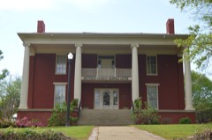 Brown-Proctor Houselisted 1982
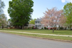 College Hill Historic Districtlisted 1983
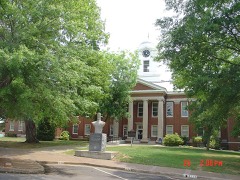 Public Square Historic Districtlisted 1982
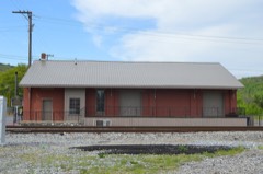 Scottsboro Memphis and Charleston Railroad Depotlisted 1998
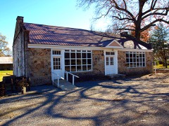 Skyline Commissarylisted 2013
Population over time
2 figuresScottsboro grew from 14,770 to 15,578 between 2010 and 2020. These are the recorded population figures Wikidata holds for this place, reached through the Geographic Names Information System number this page is keyed on rather than by name, so they belong to this place and not to another of the same name. Most are census counts, but not all are: an early figure may be a founding or settlement estimate, and an estimate published within five years of a census is left out. The change column is computed, and is left blank where more than 20 years separate a figure from the one before it, because a gap that long is not a change between two counts.
| Year | People | Change |
|---|---|---|
| 2010 | 14,770 | |
| 2020 | 15,578 | +808 (+5%) |
Topographic sheets covering this place
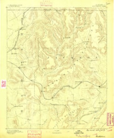
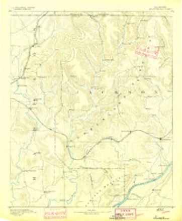
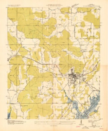
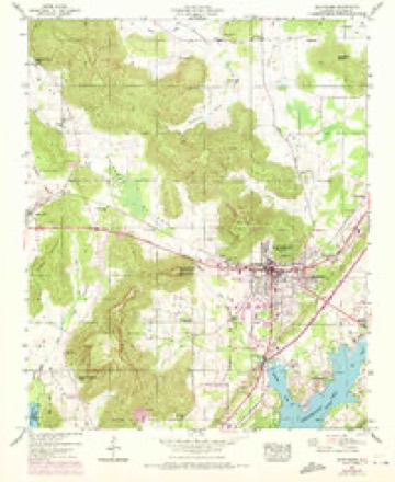
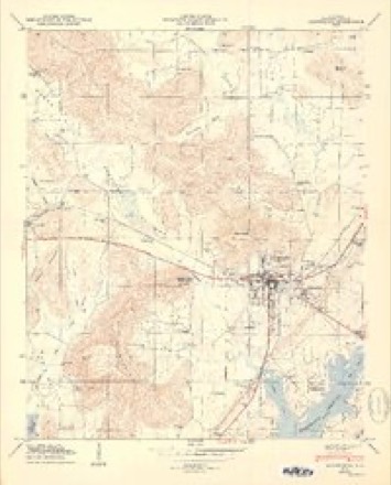
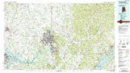
10 surveys from 21 printed sheetsMatched by testing this settlement's coordinate against the published boundary of every sheet in the United States Geological Survey's historical collection. Each opens the scanned sheet at the Survey.
- 1888 USGS Scottsboro quadrangle1:125000
- 1892 USGS Scottsboro quadrangle1:125000, 5 printings
- 1936 USGS Scottsboro quadrangle1:24000
- 1947 USGS Scottsboro quadrangle1:24000, 2 printings
- 1950 USGS Scottsboro quadrangle1:24000, 2 printings
- 1956 USGS Gadsden quadrangle1:250000, 3 printings
- 1958 USGS Gadsden quadrangle1:250000
- 1960 USGS Gadsden quadrangle1:250000, 2 printings
- 1963 USGS Gadsden quadrangle1:250000
- 1984 USGS Huntsville quadrangle1:100000, 3 printings




Photographs
8 of 9 photographs shown, 1936Taken for the Office of War Information and the Farm Security Administration, who photographed the country between 1935 and 1944. Works of United States government photographers, with no known restriction on use. Each opens its catalogue record.
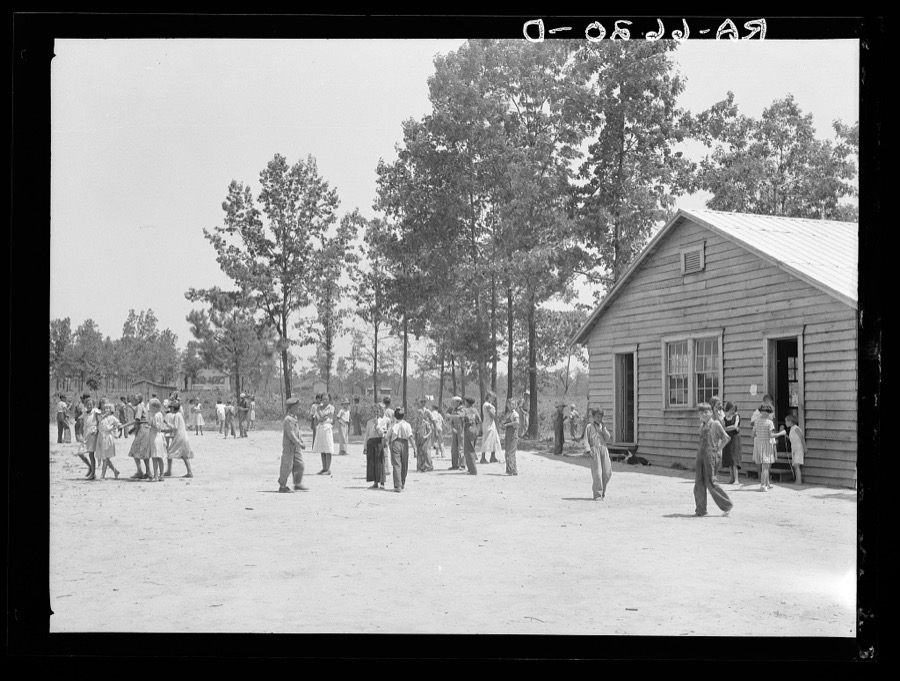
Mydans, Carl, photographer, 1936. Library of Congress
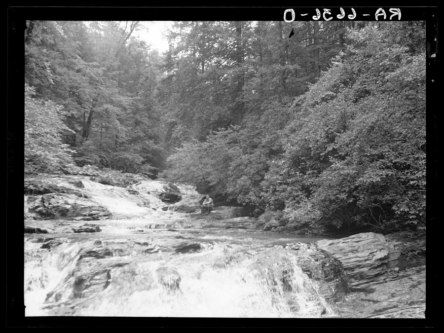
Mydans, Carl, photographer, 1936. Library of Congress
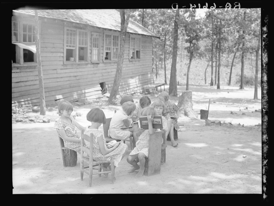
Mydans, Carl, photographer, 1936. Library of Congress
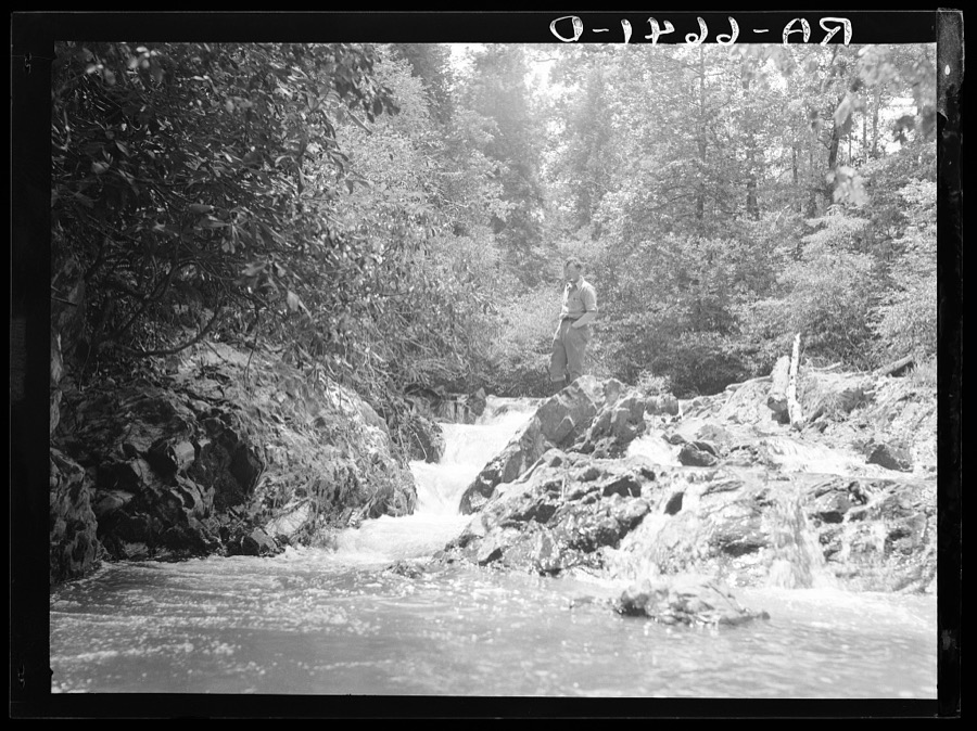
Mydans, Carl, photographer, 1936. Library of Congress
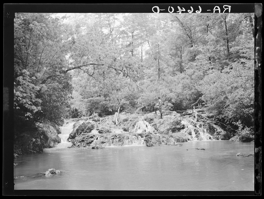
Mydans, Carl, photographer, 1936. Library of Congress
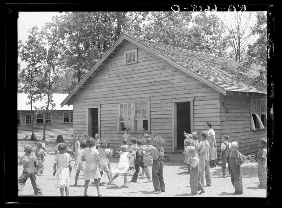
Mydans, Carl, photographer, 1936. Library of Congress
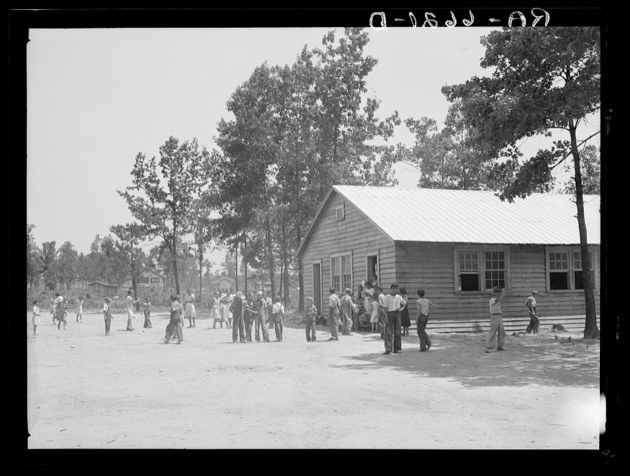
Mydans, Carl, photographer, 1936. Library of Congress
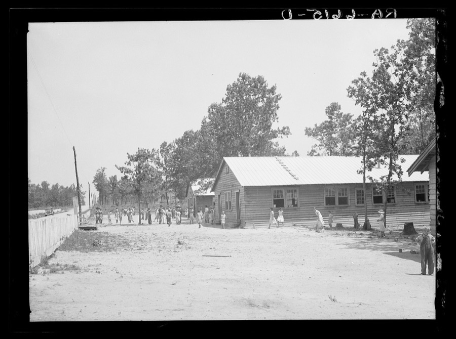
Mydans, Carl, photographer, 1936. Library of Congress
Every photograph of Jackson County
Fires near this place
29 since 1995Regional context, not property-specific evidence. The federal wildfire occurrence database lists 29 fires within 5 miles of Scottsboro between 1995 and 2019, burning about 235 acres in total. None started naturally. 11 were recorded as arson. Distance is straight-line from the map coordinates, so a fire counted here may appear on a neighbouring settlement's page as well.
| Reported cause | Fires |
|---|---|
| Arson/incendiarism | 11 |
| Debris and open burning | 8 |
| Missing data/not specified/undetermined | 7 |
| Recreation and ceremony | 1 |
| Power generation/transmission/distribution | 1 |
| Equipment and vehicle use | 1 |
The most recent of them, most recent first, with the day each was reported and the service that recorded it.
| Date | Cause | Size | Reported by | Name on the report |
|---|---|---|---|---|
| 15 September 1999 | Missing data/not specified/undetermined | 1.0 acres | Alabama Forestry Commission | not named |
| 13 September 2002 | Arson/incendiarism | 5.0 acres | Alabama Forestry Commission | not named |
| 3 August 2015 | Equipment and vehicle use | 3.0 acres | Alabama Forestry Commission | NOR-20150803-004 |
| 27 August 2007 | Arson/incendiarism | 13 acres | Alabama Forestry Commission | not named |
| 23 August 2007 | Arson/incendiarism | 10 acres | Alabama Forestry Commission | not named |
| 22 August 2007 | Arson/incendiarism | 1.0 acres | Alabama Forestry Commission | not named |
| 6 July 2010 | Recreation and ceremony | 3.0 acres | Alabama Forestry Commission | not named |
| 2 July 2008 | Arson/incendiarism | 4.0 acres | Alabama Forestry Commission | 347 BLUEBERRY LANE, AL |
Settlements close enough to share some of these fires:
Mines and quarries near this place
2 within 5 milesRegional context, not property-specific evidence. The federal mineral resources record lists 2 workings within 5 miles of Scottsboro: 1 producer, 1 plant. All of them still produce. What was taken out: Stone, Crushed/Broken, Aluminum. Distance is straight-line from the map coordinates, so a quarry counted here may appear on a neighbouring settlement's page as well.
| Where | Site | Commodity | Status | Recorded |
|---|---|---|---|---|
| Scottsboro Alum. Reduction Plant | Aluminum | Plant | 1945 | |
| Scottsboro Mine Quarry | Stone, Crushed/Broken | Producer |
Storms near this place
60 of 122 shownRegional context, not property-specific evidence. The National Weather Service names Scottsboro in 122 storm reports between 1995 and 2026: 88 thunderstorm wind, 18 hail, 7 flash flood, 4 flood. The reports record 3 injuries. Each account below is quoted exactly as the forecast office filed it, from the NOAA Storm Events Database, and each date opens the federal record of that event.
| When | Event | Place named | Harm | What the report says |
|---|---|---|---|---|
| August 2005 | Thunderstorm Wind | Scottsboro | 2 hurt, $100,000 | A downburst struck the Jackson County Park Campground. Several trees and power poles were blown down. A few of the trees fell onto occupied campers resulting in minor injuries to two individuals. |
| August 2005 | Lightning | Scottsboro | 1 hurt | A woman was struck by lightning while on the telephone inside her residence. The woman was transported to the hospital for treatment. |
| May 2024 | Tornado (EF0) | Scottsboro | $1,400,000 | A tornado snapped tree branches on Old Larkinsville Road. Scattered tree damage was observed continuing generally southeast towards Alabama Highway 35. Limited infrastructure damage was found along Highway 35 including the peeling of metal roofing and siding. Between Highway 35 and Parks Avenue, several trees were found uprooted, snapped, and with loss of limbs. |
| April 2008 | Thunderstorm Wind | Scottsboro | $75,000 | Thunderstorm winds destroyed 3 mobile homes, one moved off of foundation. Several trees were blown down. |
| May 2025 | Thunderstorm Wind | Scottsboro | $50,000 | A large tree was uprooted and fell onto a home at 514 Veterans Drive in Scottsboro. Time was estimated from radar. |
| April 1995 | Thunderstorm Wind | Scottsboro | $37,000 | Amateur radio storm spotters reported considerable damage to two convenience stores in Goose Pond, about four miles south of Scottsboro on State Highway 79. Trees were also reported down and across State Highway 40 and 418 at Pleasant View. Five mobile homes suffered some type of damage including one where the damage was described as major. A car was blown over on its side at a used car lot. |
| May 1996 | Lightning | Scottsboro | $35,000 | no account filed |
| April 2009 | Thunderstorm Wind | Scottsboro | $30,000 | Eight power lines were blown down along Highway 35 between Randall's Chapel United Methodist Church to Lakeside Grocery. Three of these poles fell onto vehicles traveling the roadway, but no injuries occurred. |
| May 2025 | Thunderstorm Wind | Scottsboro | $25,000 | A large tree was knocked down onto a pickup truck at 2506 South Broad Street in Scottsboro. Time was estimated from radar. |
| July 2005 | Thunderstorm Wind | Scottsboro | $20,000 | A few trees were blown down onto a house, car, and fence causing considerable damage. |
| May 1999 | Thunderstorm Wind | Scottsboro | $20,000 | Radio station WKEA in Scottsboro had a 70 foot high tower blown down and destroyed. Several trees were knocked over in Scottsboro. A tree was also blown over by the wind on South Broad Street in Scottsboro knocking out power in the area. |
| May 1996 | Hail | Scottsboro | $20,000 | no account filed |
| January 1997 | Thunderstorm Wind | Scottsboro | $18,000 | no account filed |
| December 2009 | Thunderstorm Wind | Scottsboro | $15,000 | Several trees were blown down around the city of Scottsboro. |
| May 1996 | Thunderstorm Wind | Scottsboro | $15,000 | no account filed |
| May 1996 | Hail | Scottsboro | $15,000 | no account filed |
| April 2002 | Hail | Scottsboro | $12,000 | Quarter to baseball size hail was reported in and around the city of Scottsboro. A few large trees were also uprooted. |
| April 2026 | Thunderstorm Wind | Scottsboro | $10,000 | A power pole was snapped on Highway 35. |
| September 2011 | Flood | Scottsboro | $10,000 | A long term flood event in Scottsboro led to numerous roads in the city being closed due to high water. The flooding also resulted in several evacuations in the area. |
| July 2001 | Thunderstorm Wind | Scottsboro | $8,000 | Several trees were blown down near the hospital in Scottsboro. Additional trees and some power lines were knocked down south and southwest of the city. Three boat houses and some boats were damaged at the Goose Lake Colony off SR 79. Several boats broke loose in the high wind and damaged each other and the boat houses. |
| April 1996 | Thunderstorm Wind | Scottsboro | $8,000 | no account filed |
| May 1997 | Thunderstorm Wind | Scottsboro | $7,000 | Trees and limbs were blown onto power lines causing power outages for over 12 hours in some locations in Scottsboro. |
| June 2025 | Thunderstorm Wind | Scottsboro | $6,000 | Multiple trees were damaged in Scottsboro along Hood Ave, Larry Dr and Byron Rd. Time was estimated from radar. |
| April 2026 | Thunderstorm Wind | Scottsboro | $5,000 | Multiple trees were knocked down along County Park Road in Scottsboro. |
| June 2025 | Thunderstorm Wind | Scottsboro | $5,000 | A tree was knocked down onto a mobile home at 1706 Veterans Drive in Scottsboro. |
| March 2023 | Thunderstorm Wind | Scottsboro | $5,000 | A tree was knocked down onto a home at 112 Benson Lane. |
| July 2012 | Thunderstorm Wind | Scottsboro | $5,000 | A few large limbs were downed by thunderstorm winds. |
| October 2001 | Thunderstorm Wind | Scottsboro | $5,000 | Several trees and a large road sign were blown over in the Scottsboro area. |
| August 2000 | Thunderstorm Wind | Scottsboro | $5,000 | Trees were blown down in Scottsboro and in Stevenson. |
| September 1996 | Thunderstorm Wind | Scottsboro | $5,000 | no account filed |
| January 2023 | Thunderstorm Wind | Scottsboro | $4,000 | Trees snapped or uprooted near the intersection of highway 35 and highway 72. |
| February 2011 | Thunderstorm Wind | Scottsboro | $4,000 | Two trees were knocked down on College Street in Scottsboro. Time estimated by radar. |
| June 2002 | Thunderstorm Wind | Scottsboro | $4,000 | no account filed |
| April 2025 | Thunderstorm Wind | Scottsboro | $3,000 | Power pole and lines down across the roadway at 3604 Woods Cove Road. |
| August 2025 | Thunderstorm Wind | Scottsboro | $3,000 | A tree was knocked down onto power lines at 204 Kyle Street in Scottsboro. |
| April 2025 | Thunderstorm Wind | Scottsboro | $3,000 | Power lines were knocked down and a transformer exploded at the intersection of South Broad Street and Hancock Drive East. |
| September 2025 | Thunderstorm Wind | Scottsboro | $3,000 | Trees and power lines were knocked down at Winn Road and City Park Road. |
| March 2023 | Thunderstorm Wind | Scottsboro | $3,000 | Trees were snapped and uprooted at 1400 Old Larkinsville Road. |
| November 2022 | Thunderstorm Wind | Scottsboro | $3,000 | Large trees were knocked down onto a home causing minor roof damage. Time estimated by radar. |
| June 2010 | Thunderstorm Wind | Scottsboro | $3,000 | Multiple trees were knocked down onto the 500 Block of Law Street. |
| June 2001 | Thunderstorm Wind | Scottsboro | $3,000 | A few power poles were blown down in Scottsboro. |
| July 1997 | Thunderstorm Wind | Scottsboro | $3,000 | Trees were blown down in Scottsboro. |
| April 2025 | Thunderstorm Wind | Scottsboro | $2,000 | A tree and power lines were knocked down at 2917 Hillcrest Drive. |
| June 2024 | Thunderstorm Wind | Scottsboro | $2,000 | Trees were knocked down with power outages reported in Scottsboro. |
| January 2023 | Thunderstorm Wind | Scottsboro | $2,000 | Trees were uprooted and snapped at this location. |
| June 2009 | Thunderstorm Wind | Scottsboro | $2,000 | Thunderstorm winds associated with a gust front knocked trees down in the Scottsboro area. Time estimated by radar. |
| May 1998 | Hail | Scottsboro | $2,000 | no account filed |
| April 2026 | Thunderstorm Wind | Scottsboro | $1,000 | A tree was knocked down into the roadway at the intersection of July Mountain Blvd. and Woods Cove Road in Scottsboro. |
| April 2026 | Thunderstorm Wind | Scottsboro | $1,000 | A tree was knocked down at the intersection of Porter Road and Law Street. |
| April 2026 | Thunderstorm Wind | Scottsboro | $1,000 | A tree was knocked down at 700 CR 38. |
| April 2025 | Thunderstorm Wind | Scottsboro | $1,000 | A tree was knocked down onto the roadway blocking one lane at 2103 Roseberry Drive in Scottsboro. |
| May 2025 | Thunderstorm Wind | Scottsboro | $1,000 | A tree was reported down in Scottsboro. |
| May 2025 | Thunderstorm Wind | Scottsboro | $1,000 | A tree was knocked down blocking both lanes at 1800 Woods Cove Road. Time was estimated from radar. |
| May 2025 | Thunderstorm Wind | Scottsboro | $1,000 | A large tree limb was snapped at 1707 Proctor Drive in Scottsboro. Time was estimated from radar. |
| May 2025 | Thunderstorm Wind | Scottsboro | $1,000 | A tree was knocked down onto the roadway on R 21. Time was estimated from radar. |
| May 2025 | Thunderstorm Wind | Scottsboro | $1,000 | A tree was reported down at 2409 South Broad Street in Scottsboro. Time was estimated from radar. |
| December 2025 | Thunderstorm Wind | Scottsboro | $1,000 | A tree was reported down at 60 Rose Drive. |
| December 2025 | Thunderstorm Wind | Scottsboro | $1,000 | A tree was reported down at 809 Byron road. |
| December 2025 | Thunderstorm Wind | Scottsboro | $1,000 | A tree was reported down at 603 South Street. |
| December 2025 | Thunderstorm Wind | Scottsboro | $1,000 | A tree down on a house near Howard street in Scottsboro. |
Nearest settlements
The eight closest, with where each one stands in the county. Distances are straight-line, computed from the Geographic Names Information System coordinates.
| Map | Place | Distance | Sheets |
|---|---|---|---|
| Webb Addition | 0.7 miles | 21 | |
| Roseberry | 2.6 miles | 21 | |
| Berrys (historical) | 4.0 miles | 21 | |
| Lakeview Shores | 4.3 miles | 20 | |
| Hollywood | 4.9 miles | 23 | |
| Pikeville | 4.9 miles | 21 | |
| Larkinsville | 5.0 miles | 21 | |
| Ferncliff (historical) | 5.1 miles | 21 |
Elsewhere
Matched on this settlement's Geographic Names Information System number rather than its name, so it cannot be a different place of the same name in another state.
| Wikipedia article on Scottsboro | An encyclopaedic summary. Its text is share-alike, so it is linked here rather than copied. |
| Wikidata item Q79577 | The structured record the population and elevation above come from. Public domain (CC0). |
Provenance
This settlement is recorded in the Geographic Names Information System as feature 154493. The sheet list is computed by point-in-boundary test against the United States Geological Survey's historical topographic inventory. Both are works of the United States government and carry no copyright under 17 U.S.C. 105.
Wildfire. Short, Karen C. 2022. Spatial wildfire occurrence data for the United States, 1992-2020 [FPA_FOD_20221014]. 6th Edition. Fort Collins, CO: Forest Service Research Data Archive. https://doi.org/10.2737/RDS-2013-0009.6 Collected with United States Government funding and usable without additional permissions or fees.
Mines and quarries. USGS Mineral Resources Data System (MRDS) https://mrdata.usgs.gov/mrds/ A work of the United States government, no copyright under 17 U.S.C. 105.
Storms. NOAA National Centers for Environmental Information, Storm Events Database https://www.ncei.noaa.gov/stormevents/ A work of the United States government, no copyright under 17 U.S.C. 105. Narratives are quoted verbatim from the National Weather Service report and are not edited or summarised.